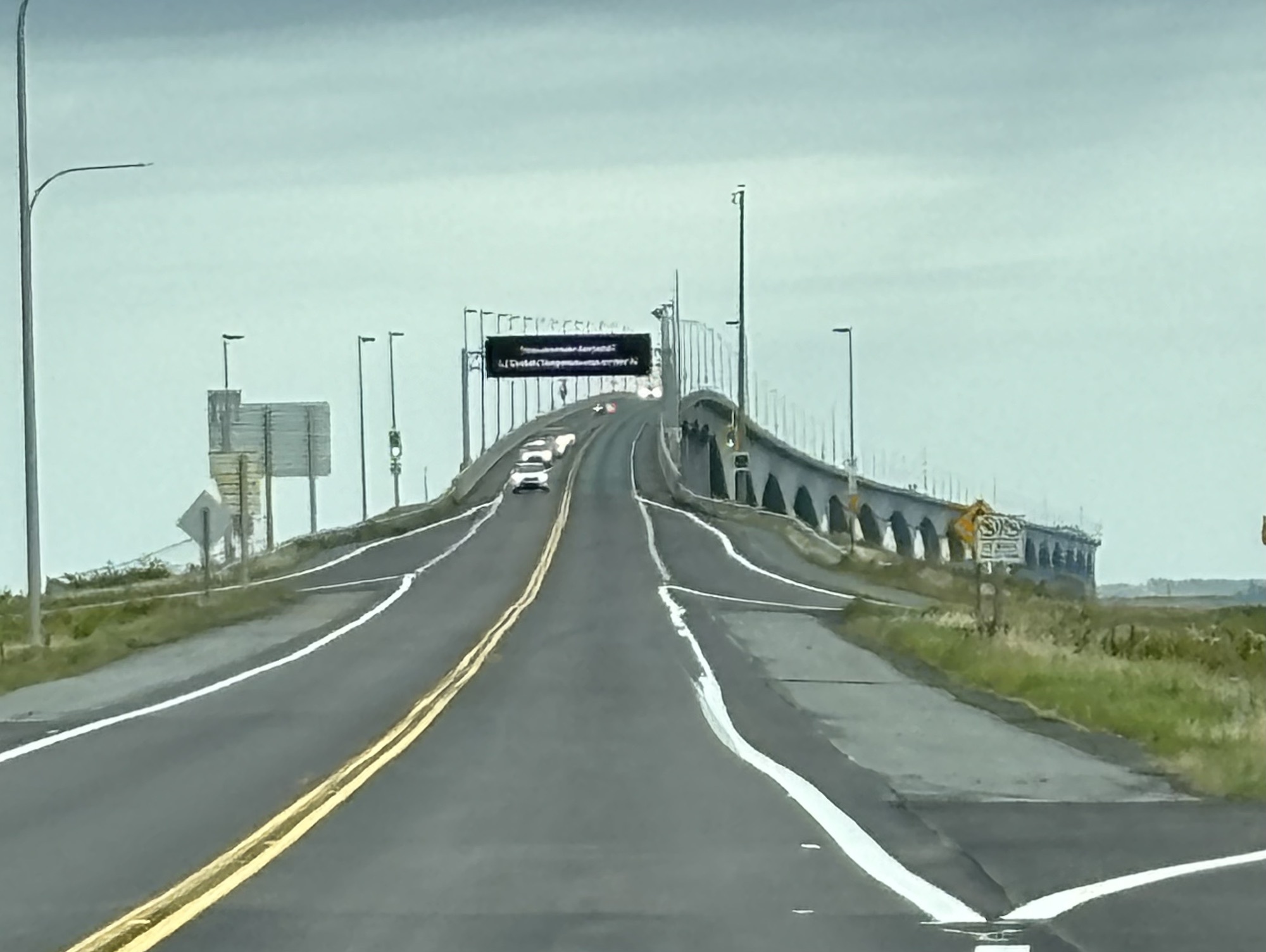
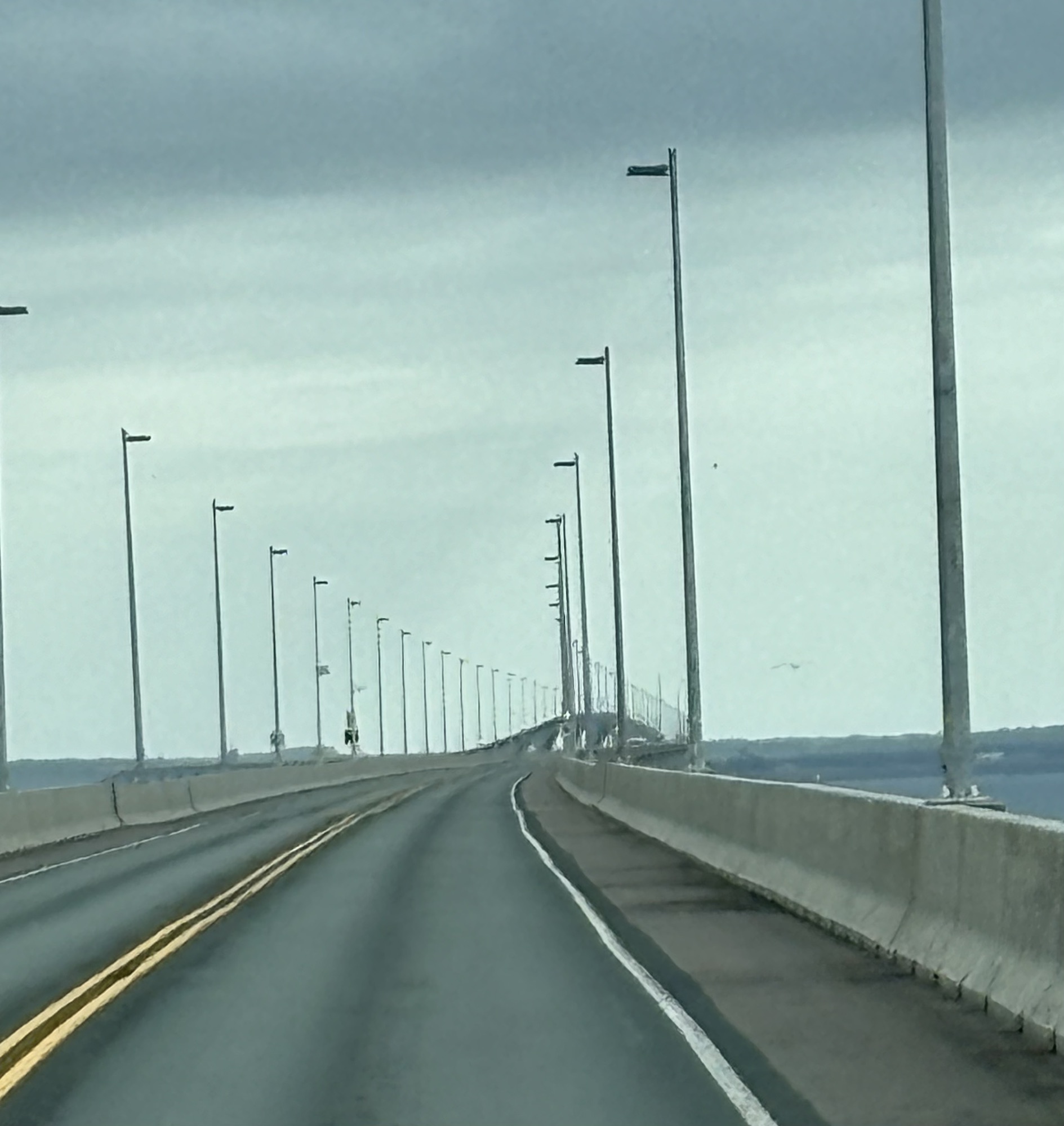
After a short drive from Shediac, we arrived at the Confederation Bridge that connects PEI with the mainland. Historically, it was part of the 1873 agreement for PEI to join the Dominion of Canada. It was finally finished in 1997! And it is 8 miles long (compared to the 7-Mile bridge in the Florida Keys!) You don’t pay to drive into PEI but pay when leaving.
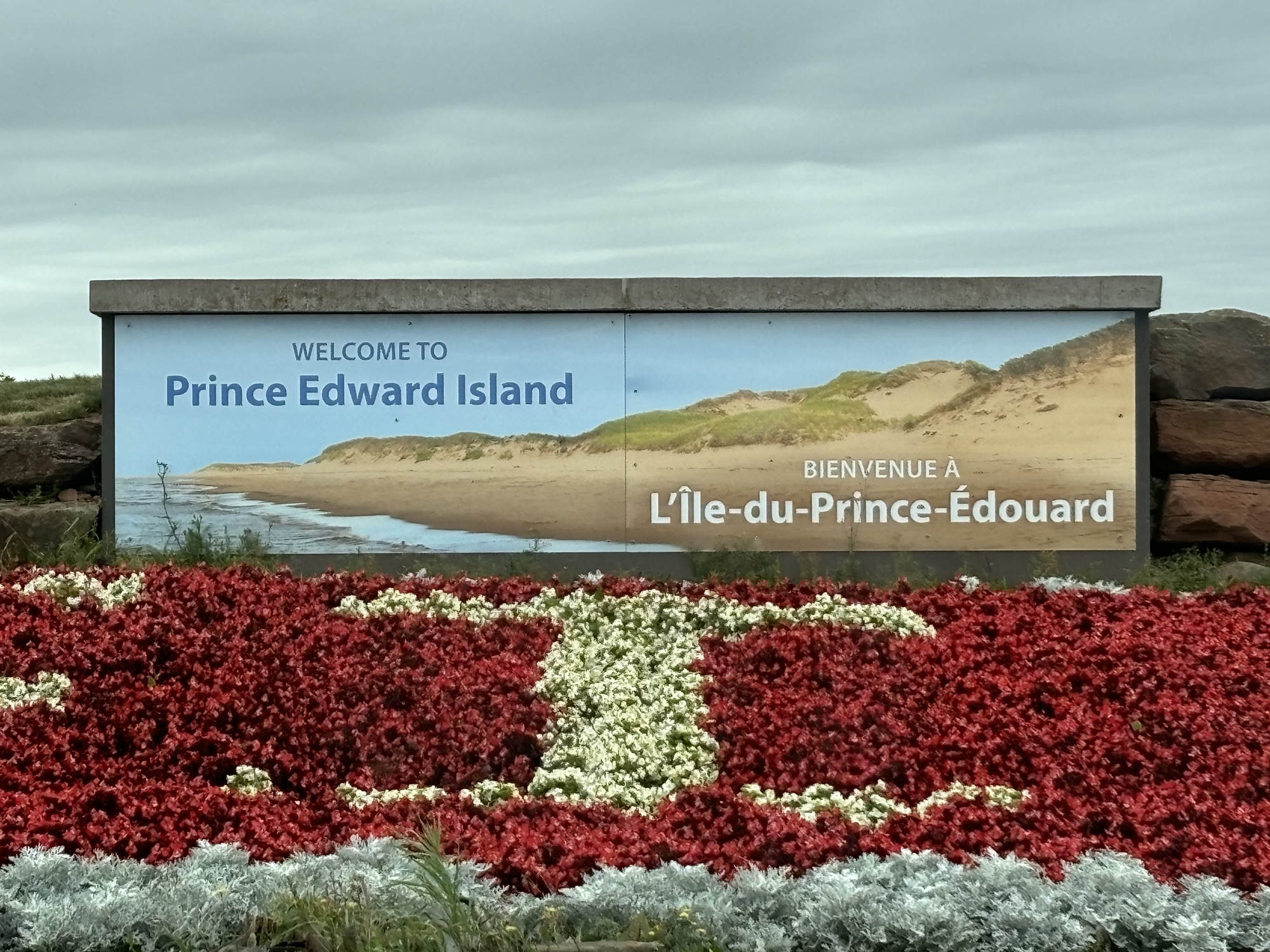
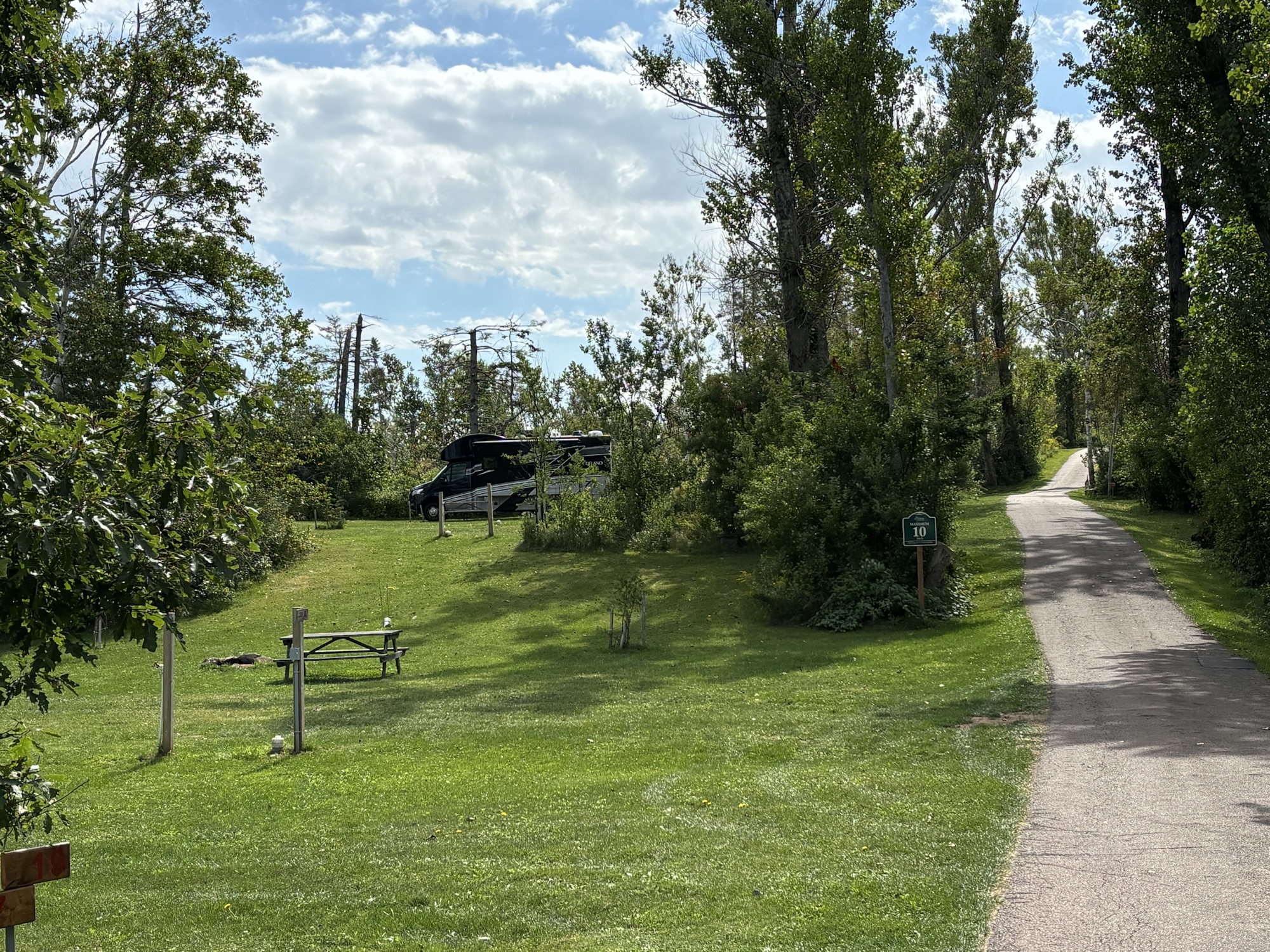
PEI is shaped like a crescent that is narrower near Charlottetown in the center with features in each corner. Kind of, maybe like an upward curved bowtie? It is only 140 miles from end to end and about 40 miles wide at the widest point. We had selected an RV park near the center and closer to the north shore since we had planned to explore all four corners of the island. This turned out to be a very good decision.
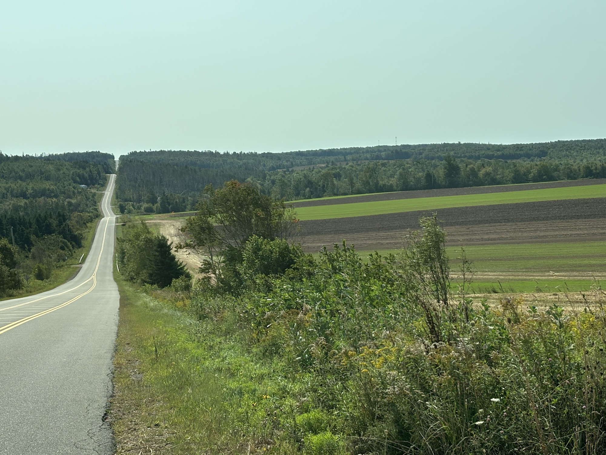
PEI is renowned for 3 things, red sand beaches and cliffs, Anne of Green Gables author and book series, and potatoes! The first things we noticed were the farms and fields. The island appears to be one big farm! The trip to the RV park took many different roads with twists and turns around the fields. This is early fall so most of the fields were still green and getting ready for harvest and winter. We didn’t know the different crops, but we guessed most seemed to be potatoes. We learned more later.
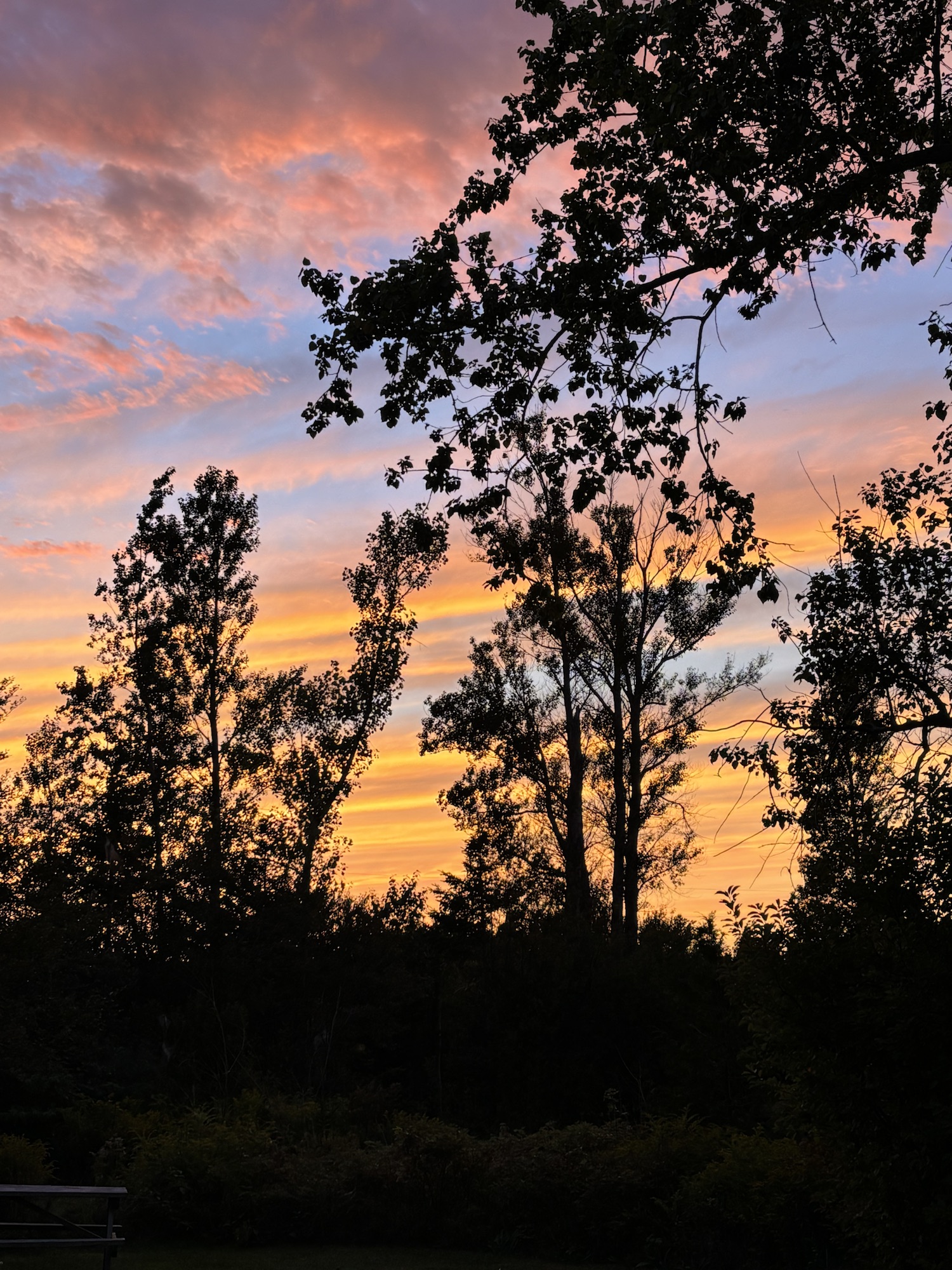
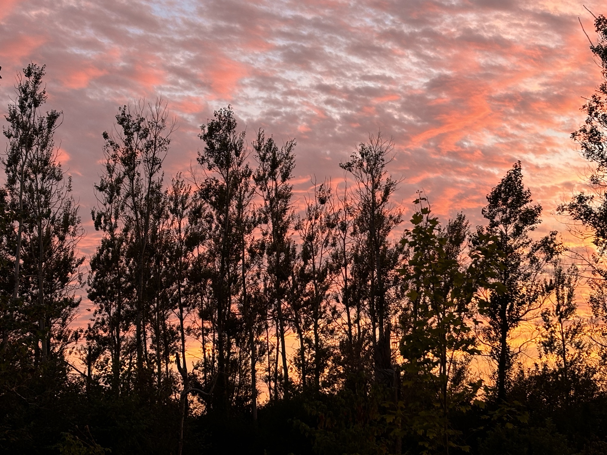
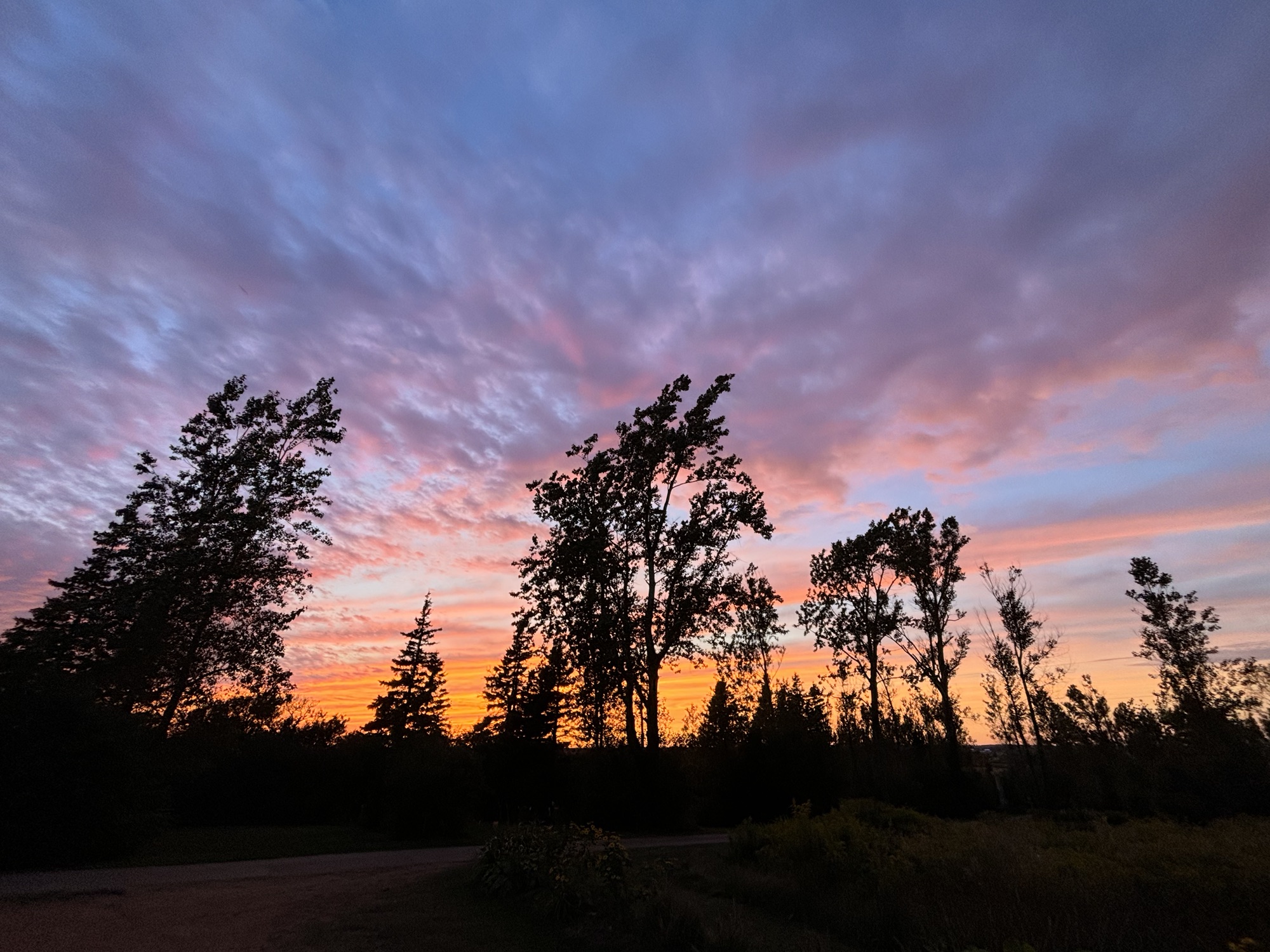
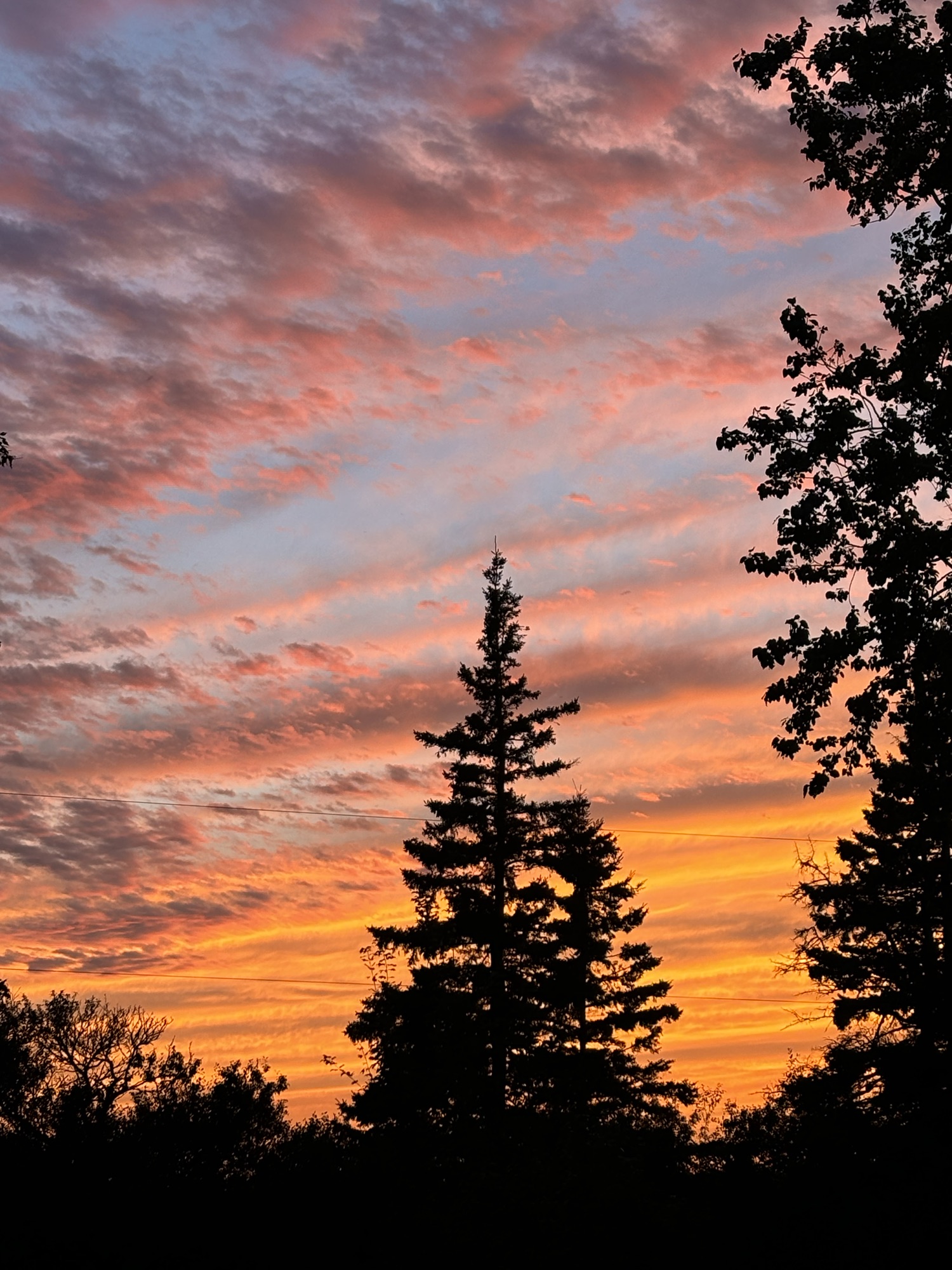
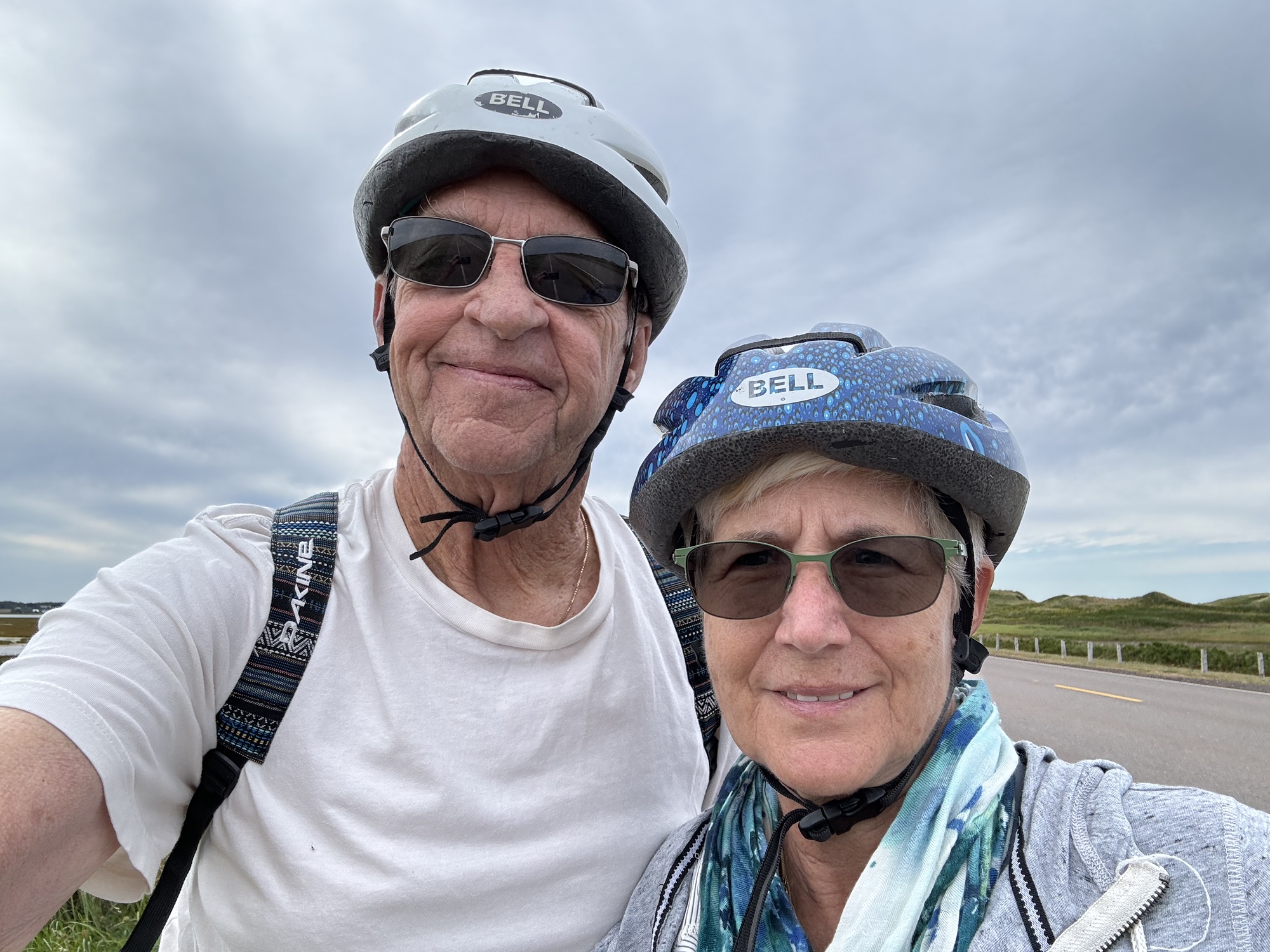
We also learned there was more to PEI than just the first 3 things. We added lighthouses, wind turbines, COWS ice cream, lobster rolls, and Gail’s favorites, sunsets! We visited all of these as we drove almost 500 miles on this small island over the 5 days we were there.
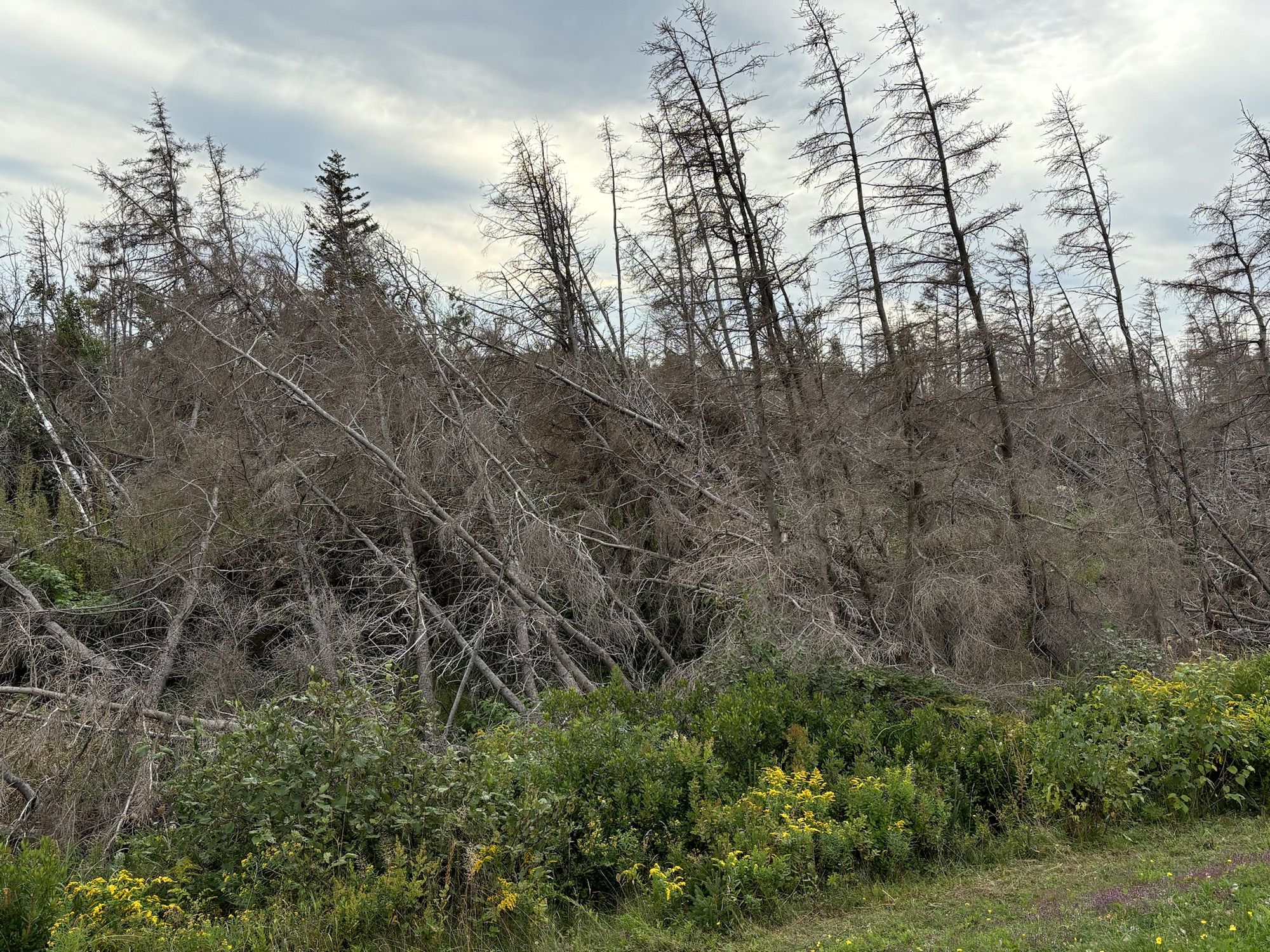
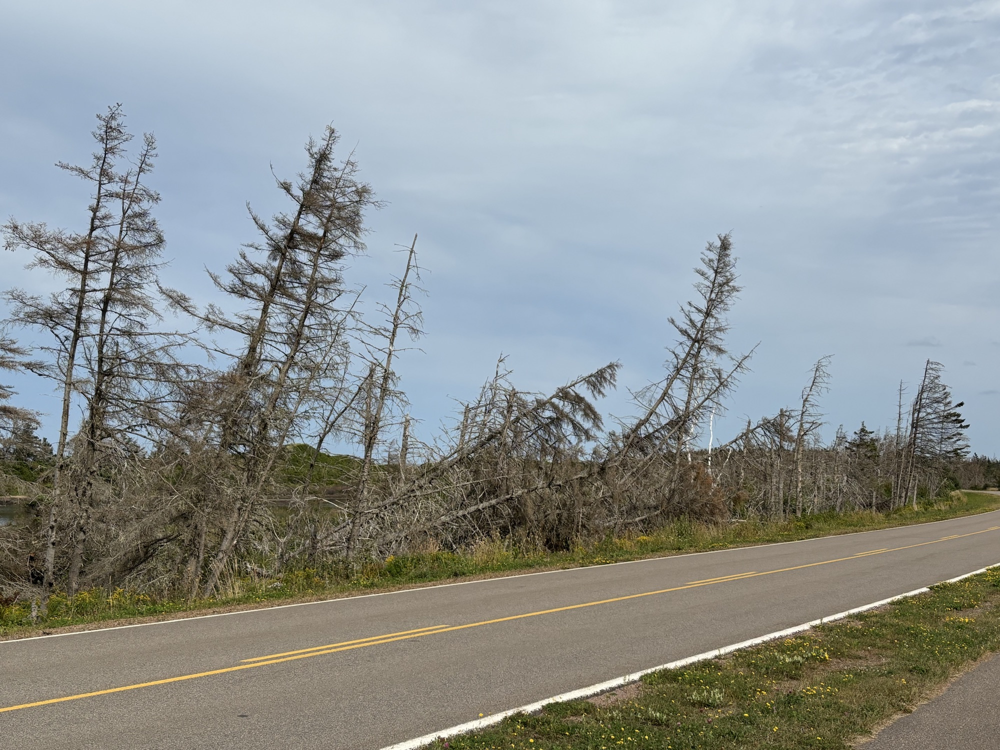
A quick observation here to point out the damage caused by Hurricane Fiona in 2022 as one of the strongest storms ever to hit maritime Canada. The evidence of the storm was still visible all around with downed trees across the island.
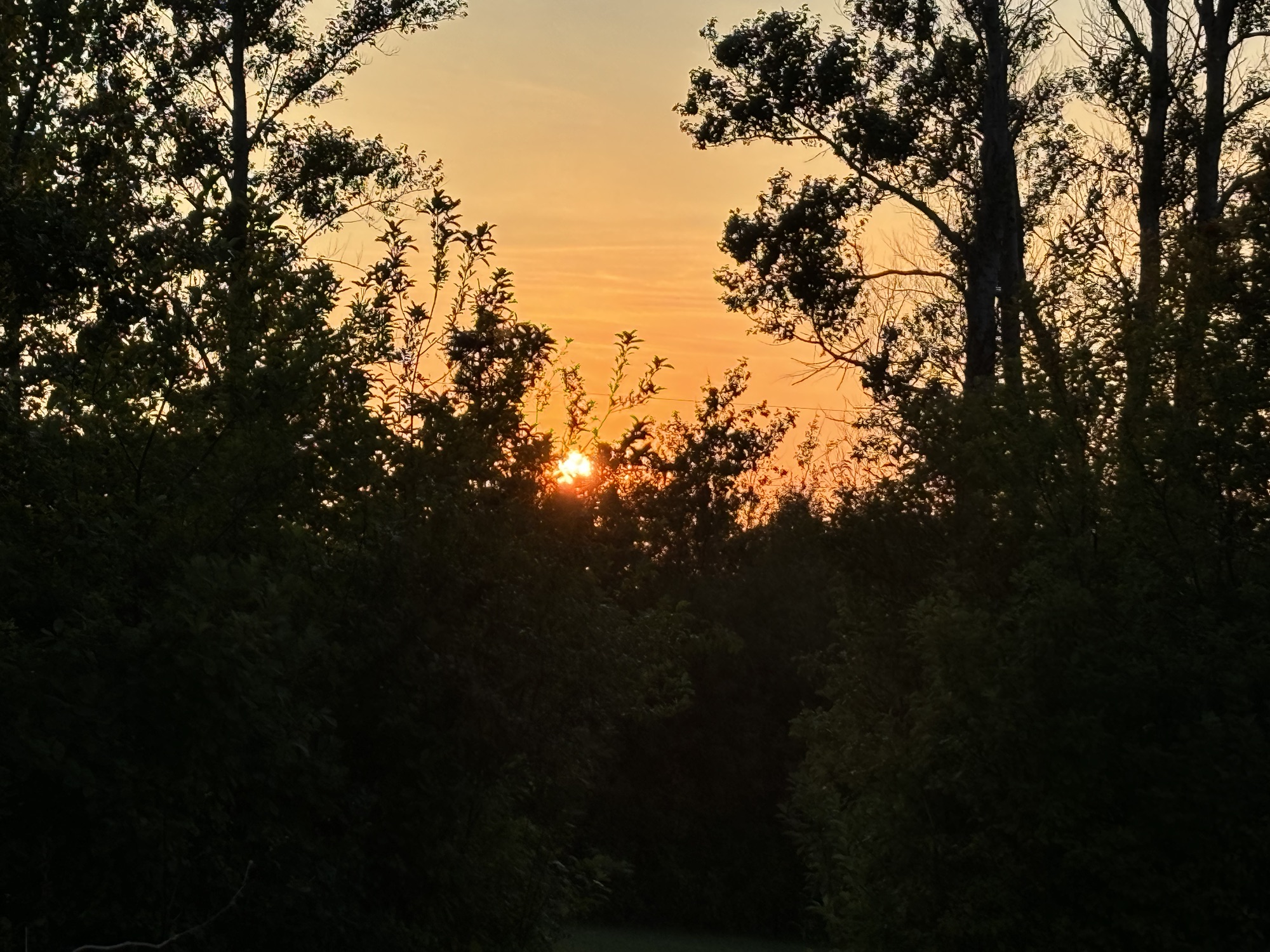
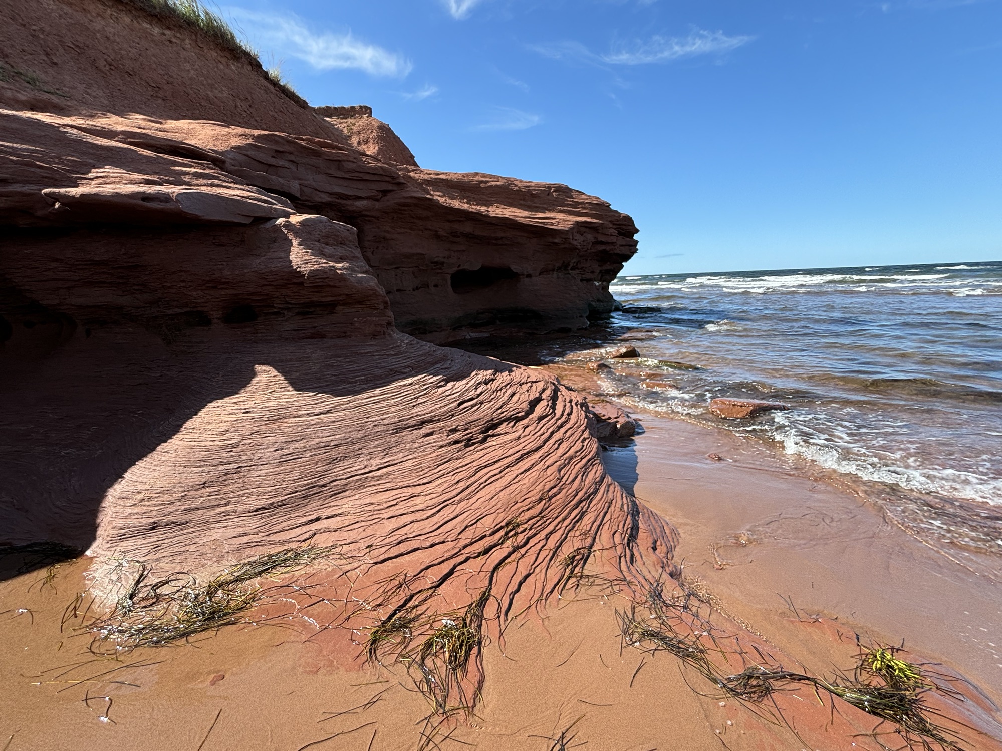
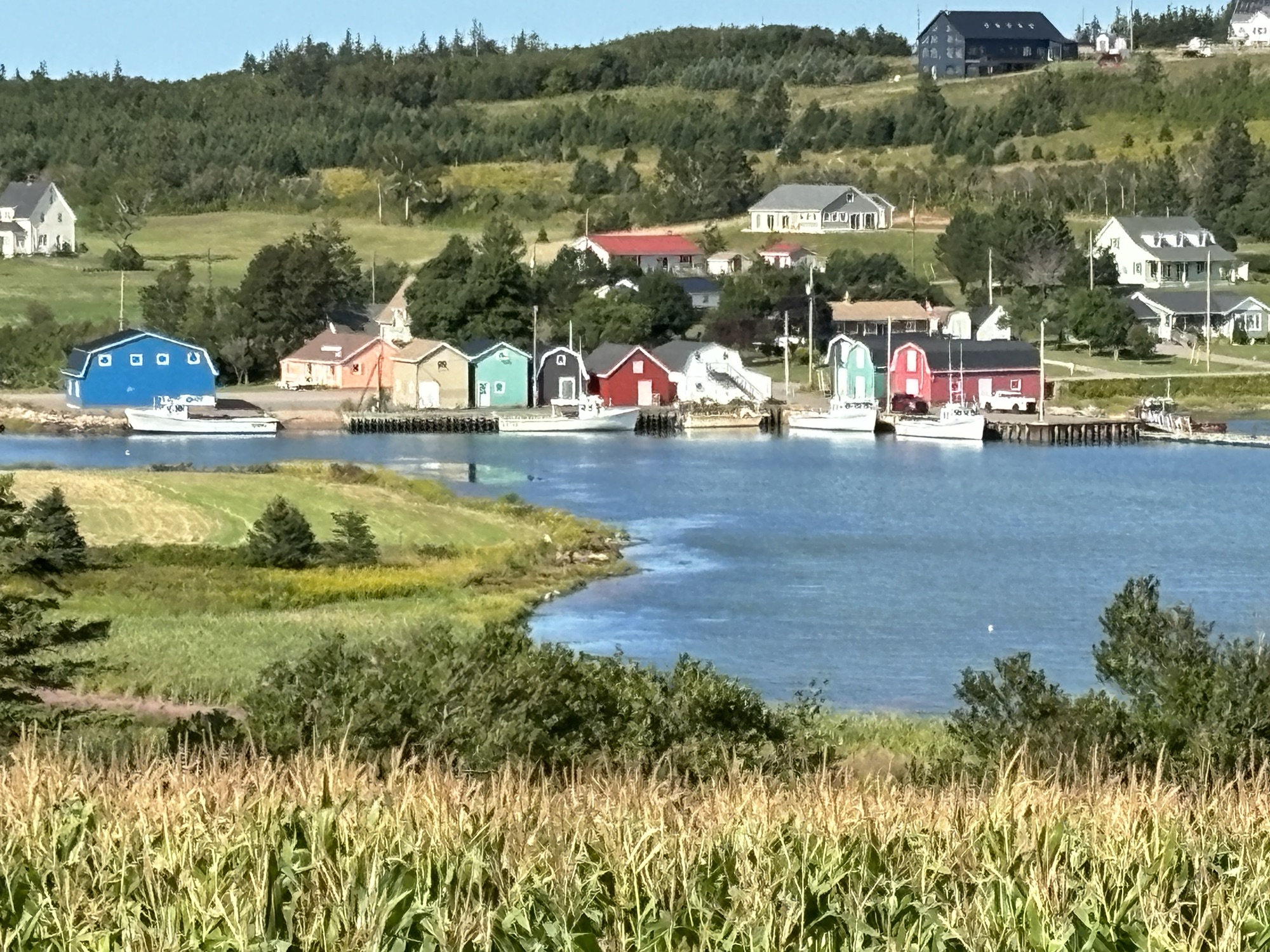
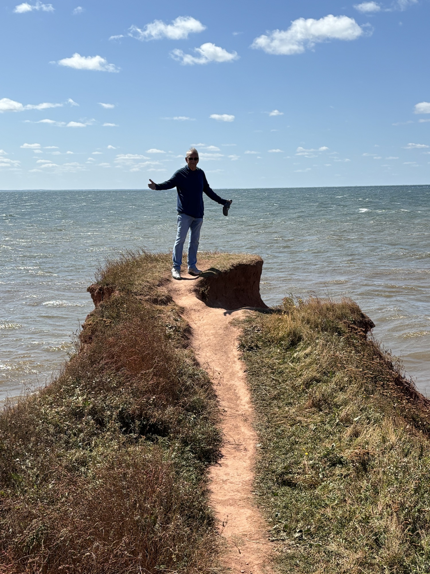
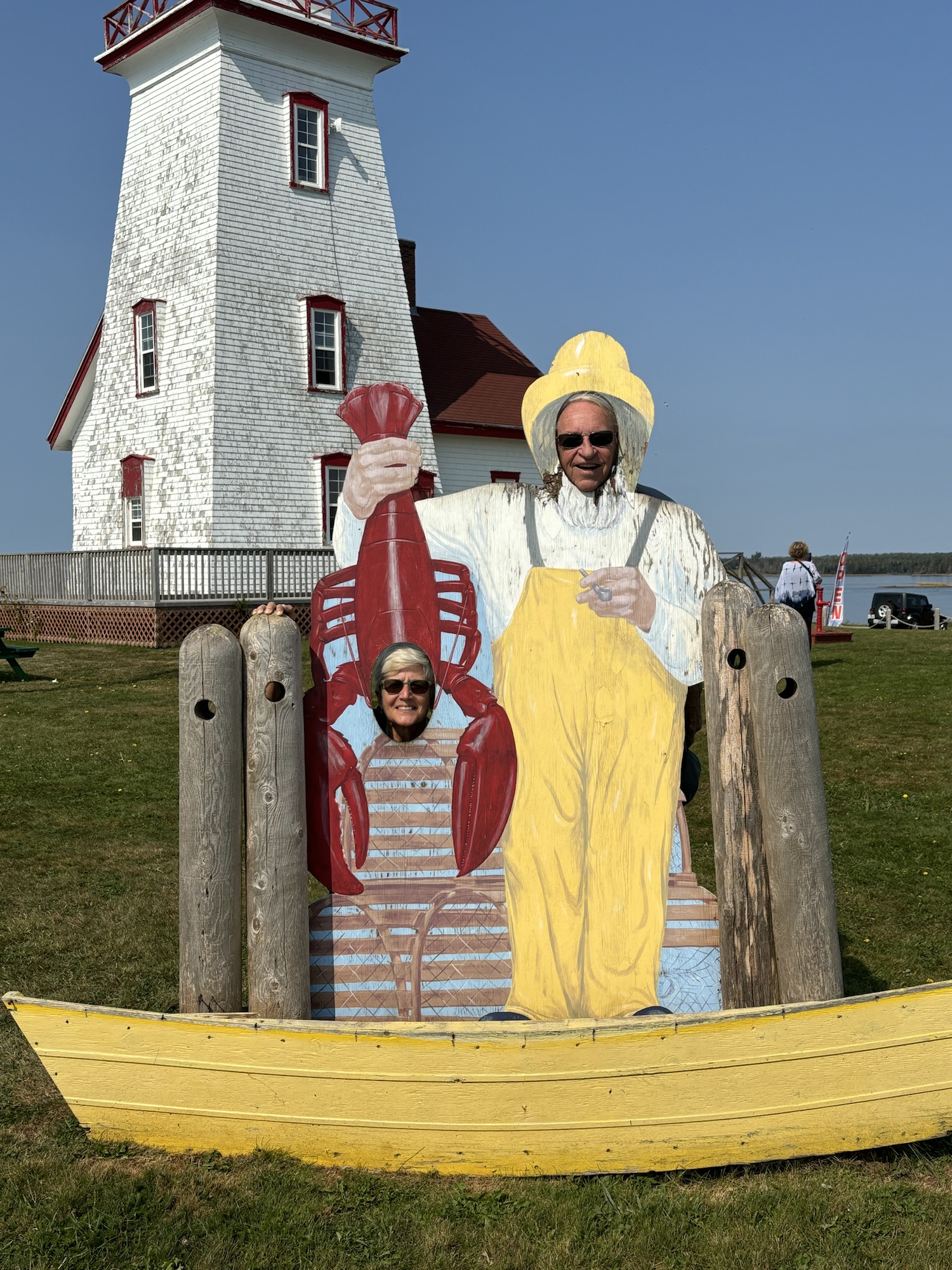
After getting hooked up, the first trip was to the north coast of the island to the East end of the PEI National Park (the only Canadian National Park on PEI) to see the red sands (and the first of many lighthouses)!
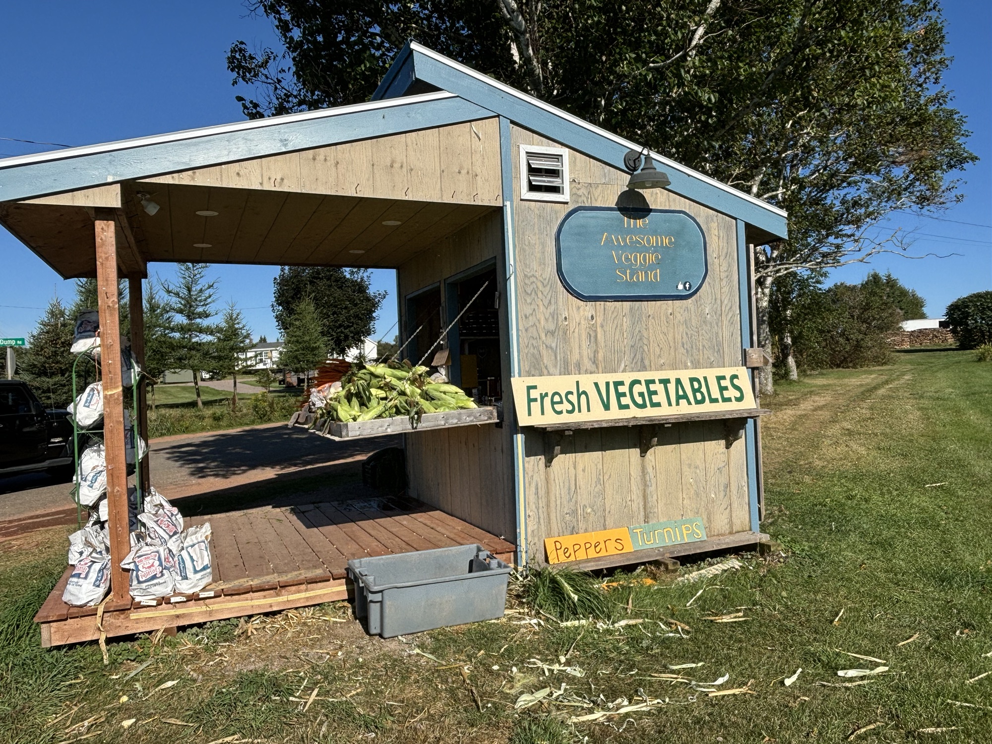
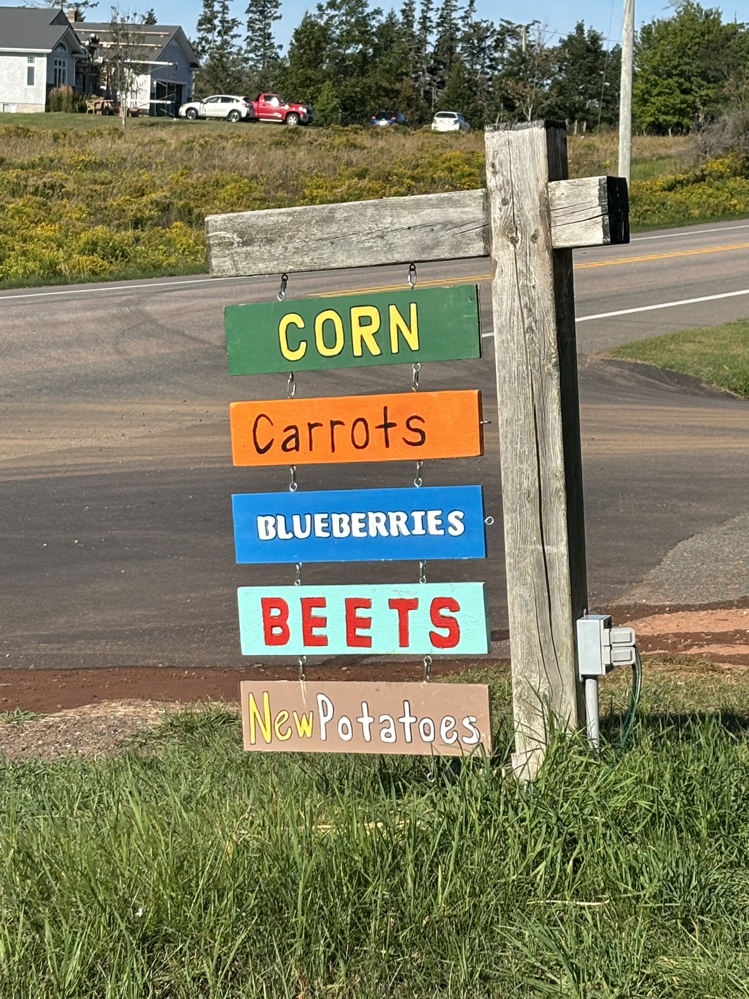
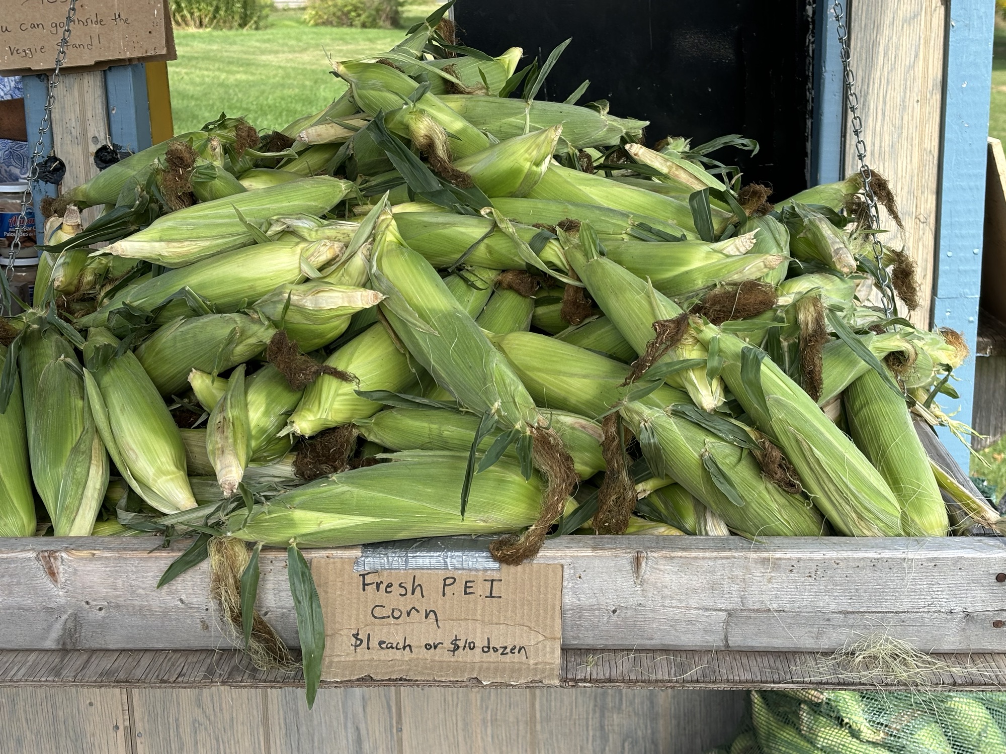
As we drove to the park, Gail noticed a small farm stand along the road call the Awesome Veggie Stand. She couldn’t pass it up. It was an honor system stand with everything out on display. It was pretty awesome. She picked up some fresh corn on the cob and plums (as we had just been to the store). But a fun place and typical of the island.
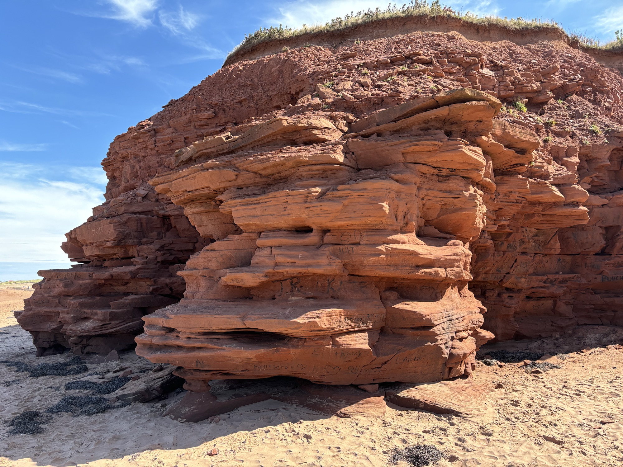
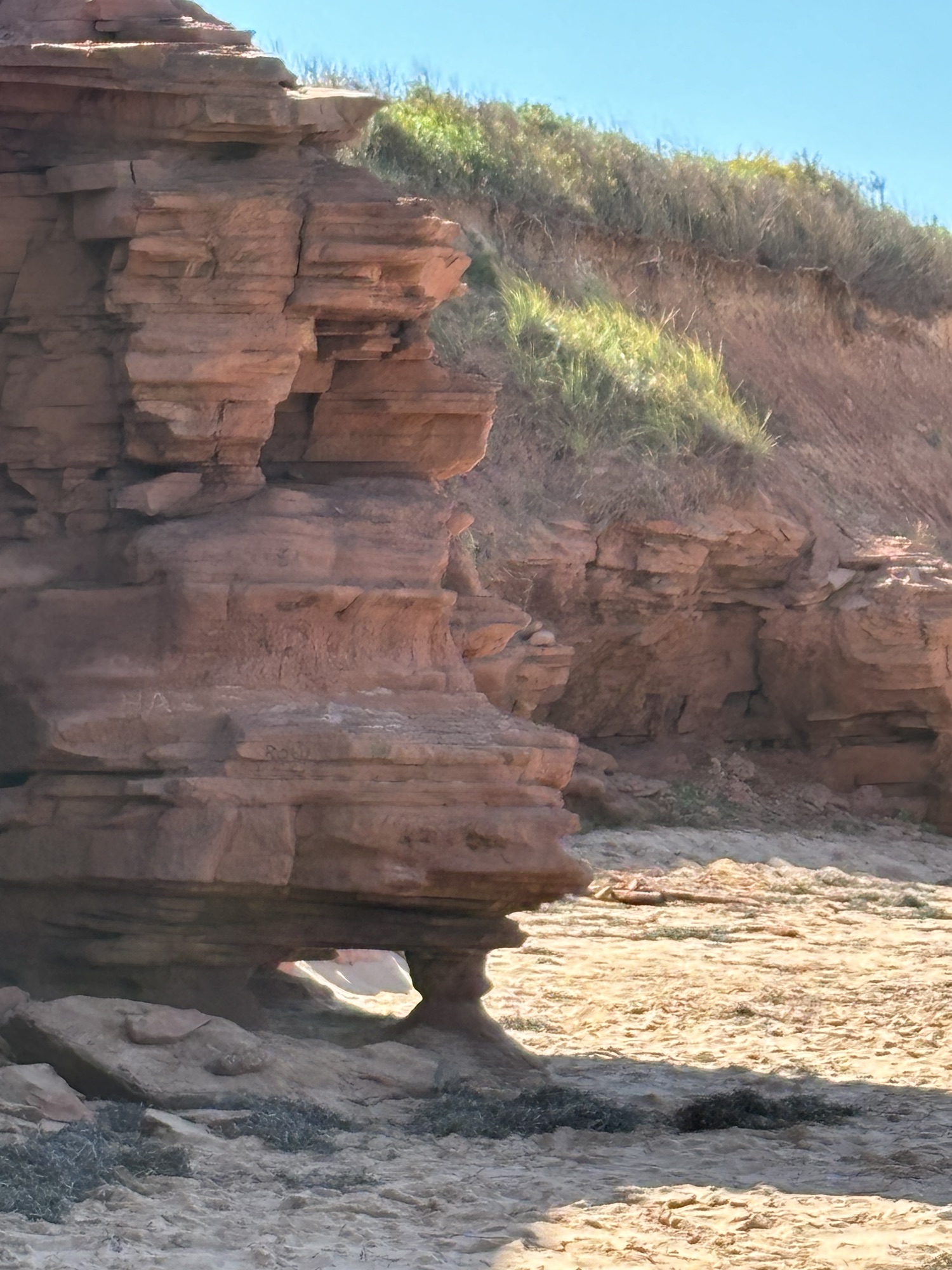
Back to the red sands. Those of you that know me know that I am color blind, so the “red” sands did not impress me that much. But Gail assured me that they were definitely red! The sand on the beaches came from the sandstone cliffs that erode onto the shore. The cliffs were more impressive to me, and we would see more of both in the coming days.
We noticed a small beach eatery called Richards that was crowded with afternoon diners but did not take any special note. We later were given several “must go” recommendations from people we met during the week. So, it went on our list!
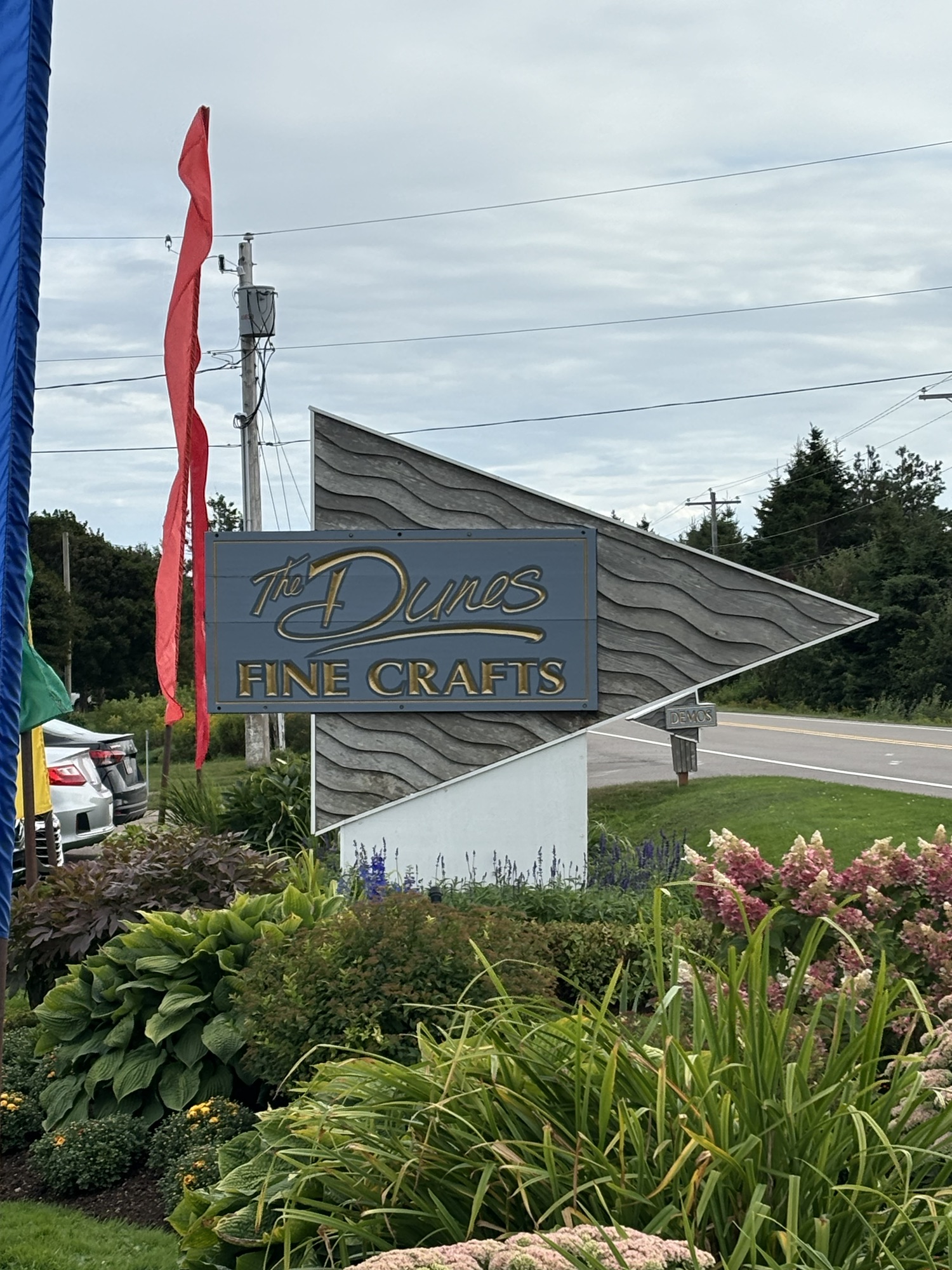
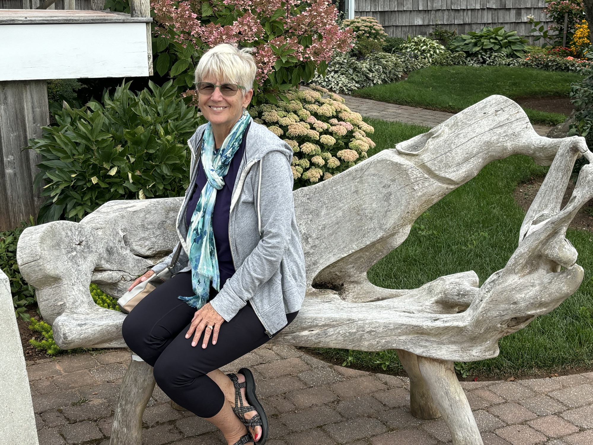
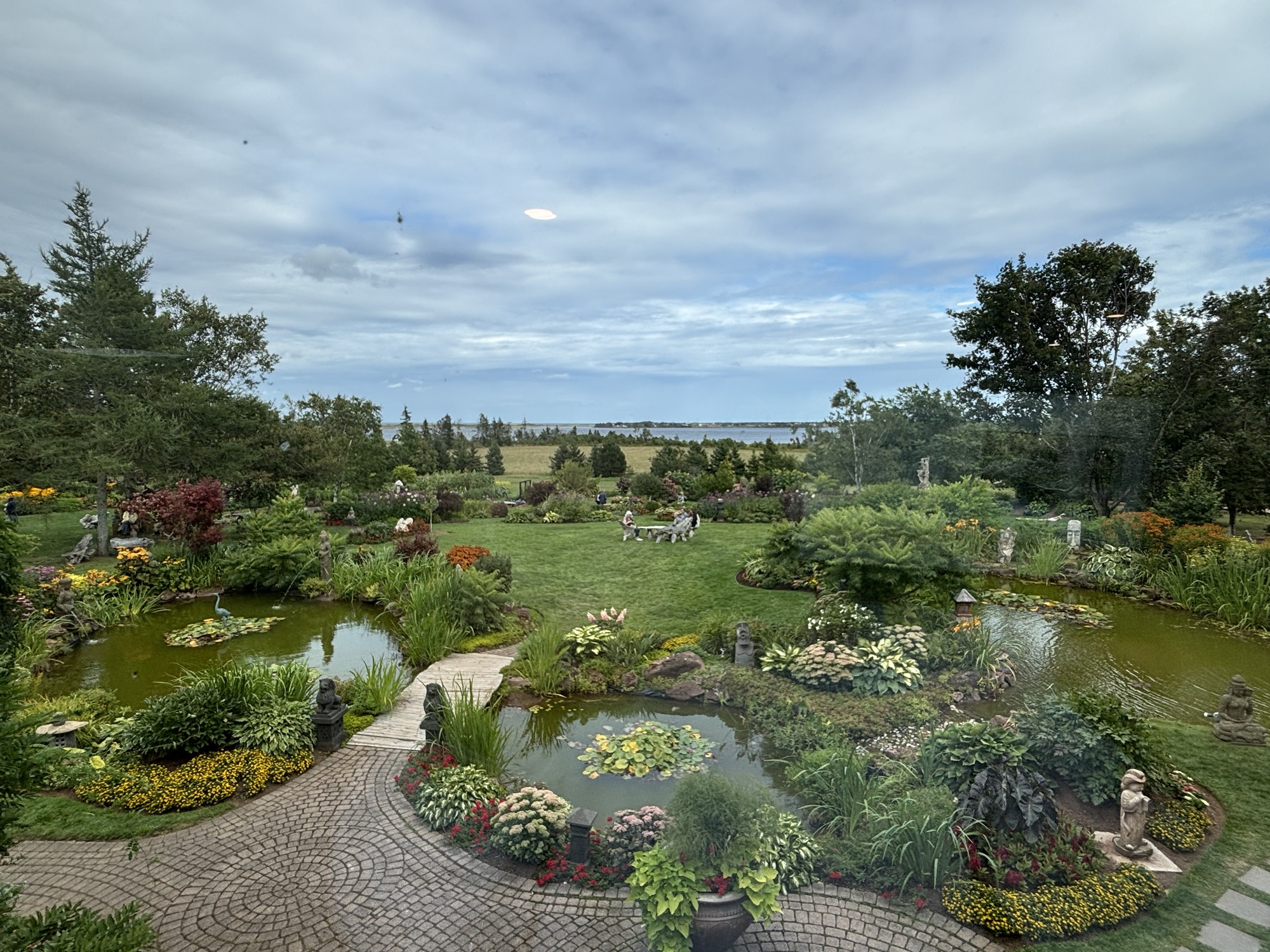
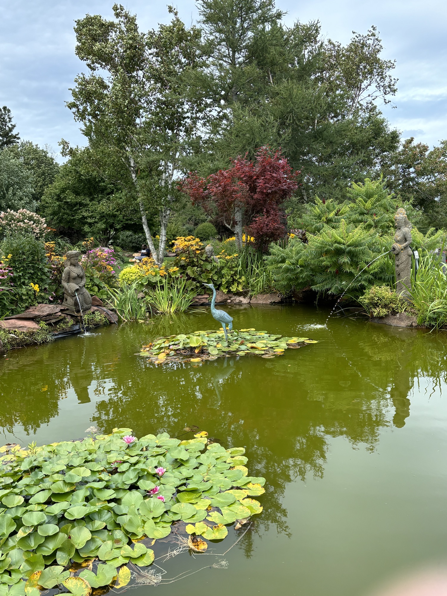
We also stopped at a few of the local specialty shops. The Great Canadian Soap Company where we met Dave the owner and saw a few of the goats that they breed for their special goat soap. On to the Dunes Craft and Gardens. This was one of Gail’s favorites, crafts and gardens (and a restaurant) If you are out near the east side of PEI National Park it is worth a stop.
That evening we settled in with cocktails and a quiet dinner. We were relaxing and enjoying being at the same park for 6 nights. The next morning, we did laundry and worked on the last blog. Just about ready to hit Publish! After lunch, we headed out again to see some more red sand!
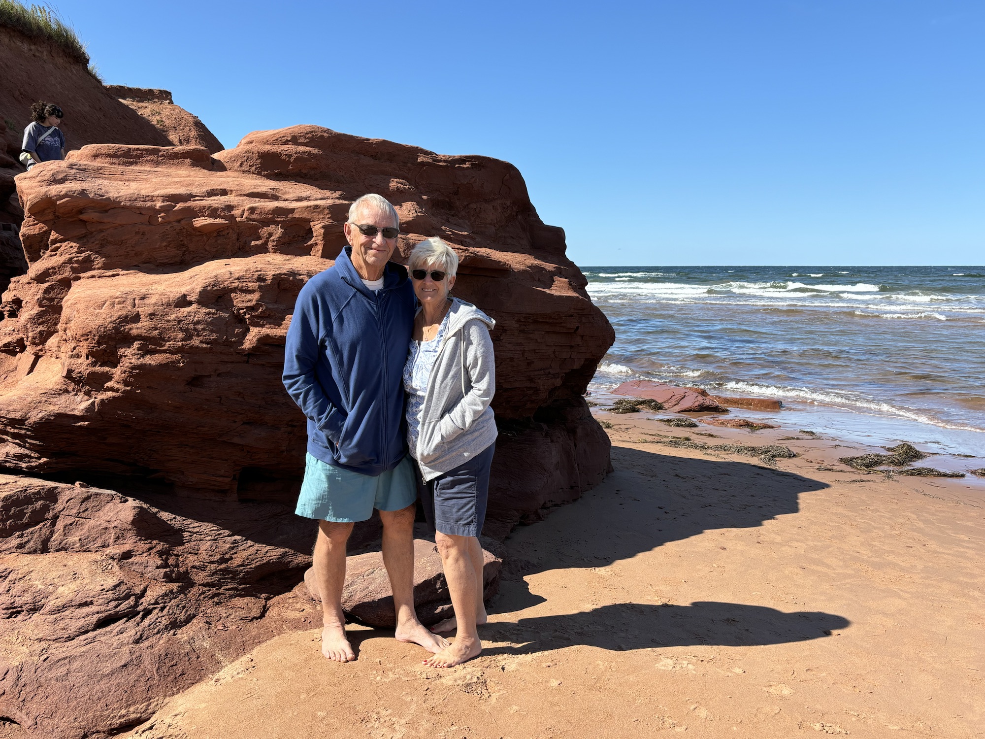
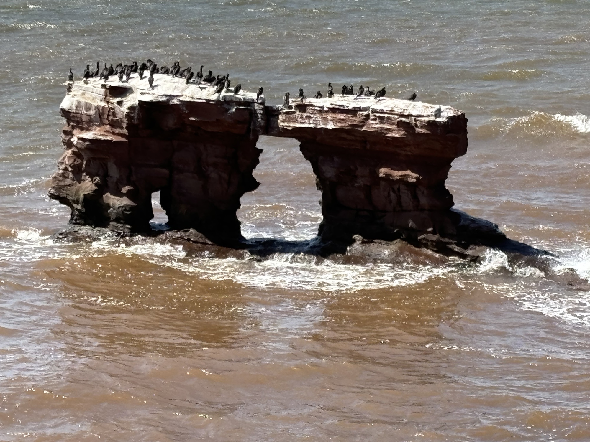
There was a famous beach called Thunder Cove which is known for its red cliff rock formations and red sands. On the way, we stopped at (you guessed it!) the North Rustico lighthouse. We drove by the many Anne of Green Gables historic sites that tell the story of Lucy Maud Montgomery and her life on the island and enjoyed the views of the villages and farms along the way. The cliffs were amazing the way they had been sculpted by the waves and wind. And so red, I think that I could almost see the color! Very nice. And the water was cold.
We picked up a bundle of firewood and relaxed again by a nice fire after dinner. Gail had marshmallows and it was a nice end to a very enjoyable day.
The next day we headed off to the west coast to see a special house, a couple of light houses, a wind turbine farm, and the Potato Museum. Can’t ask for a better day. Again, the drive was windy through the small towns and farms. Lots of green fields stretching the horizon. Full of potatoes?
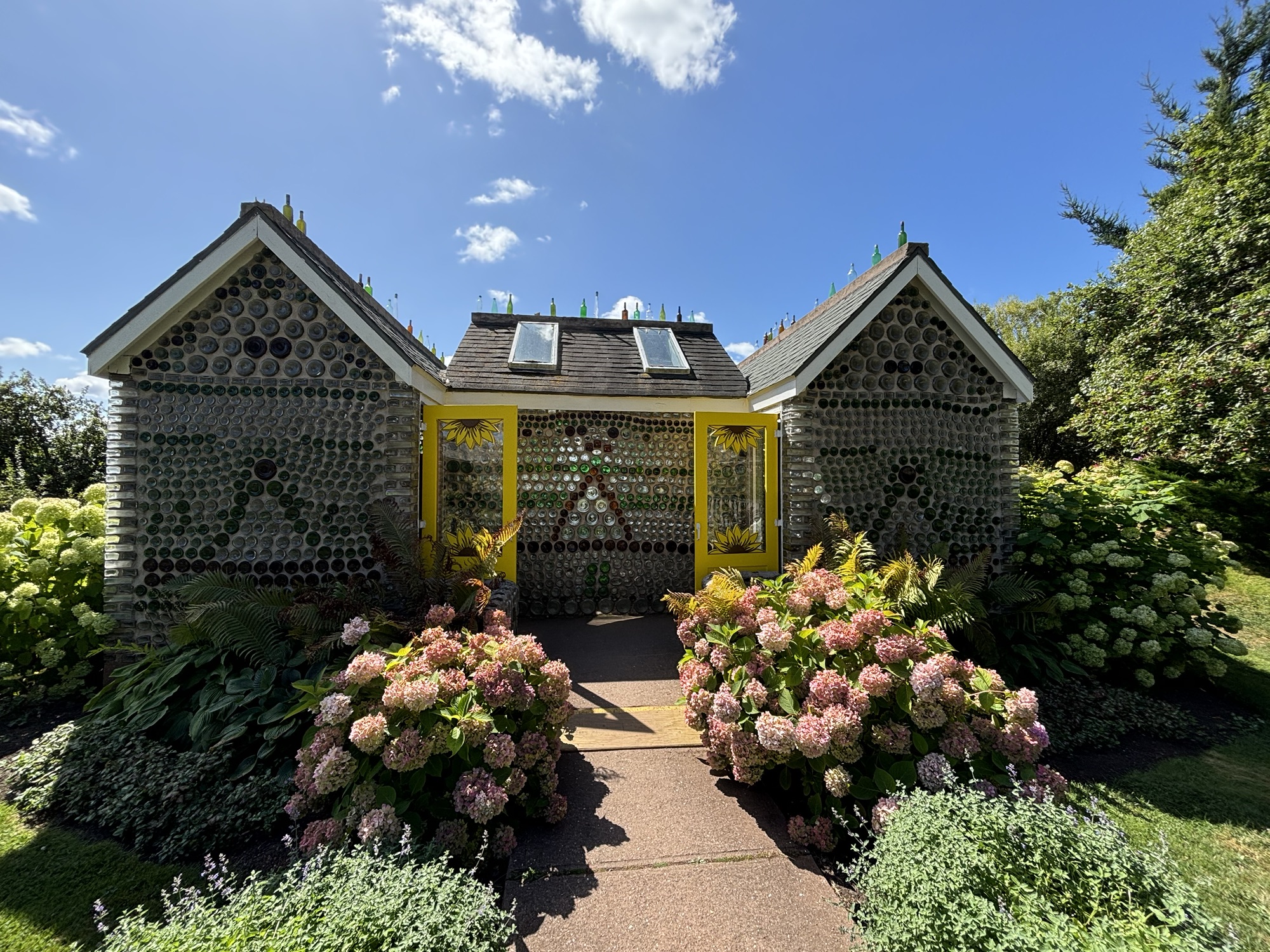
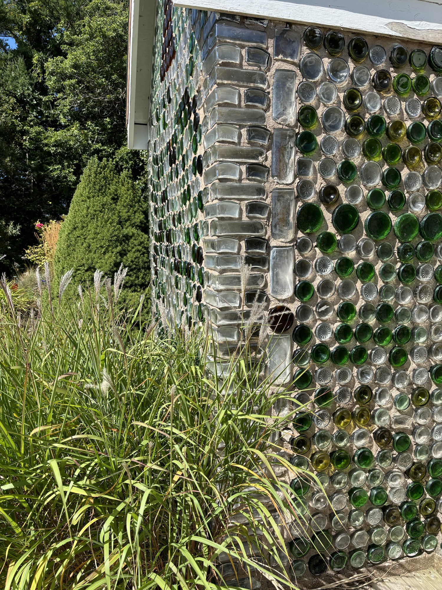
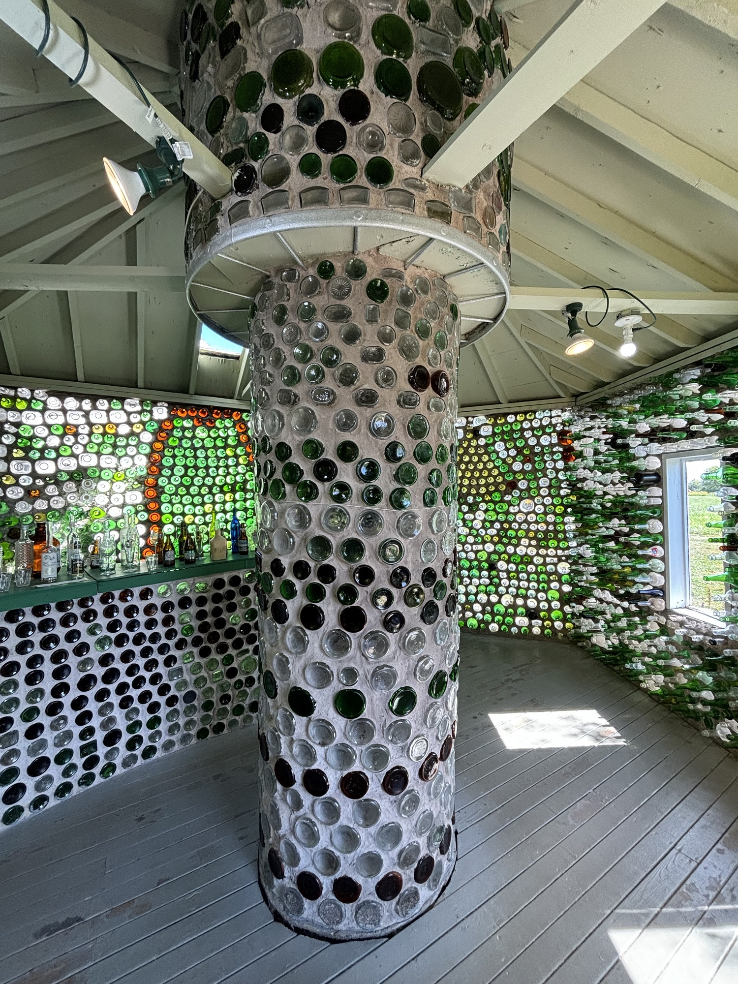
Anyway, the house (or couple of buildings to be exact) was made using glass bottles. The builder had done this over many years as a hobby collecting bottles, digging through the dump, and donations from friends. There is a chapel, a home, and a tavern! When he died, his daughter converted the hobby to a tourist spot and highlighted the art and uniqueness. Very interesting. We also stopped to see more of the famous sandstone formations.
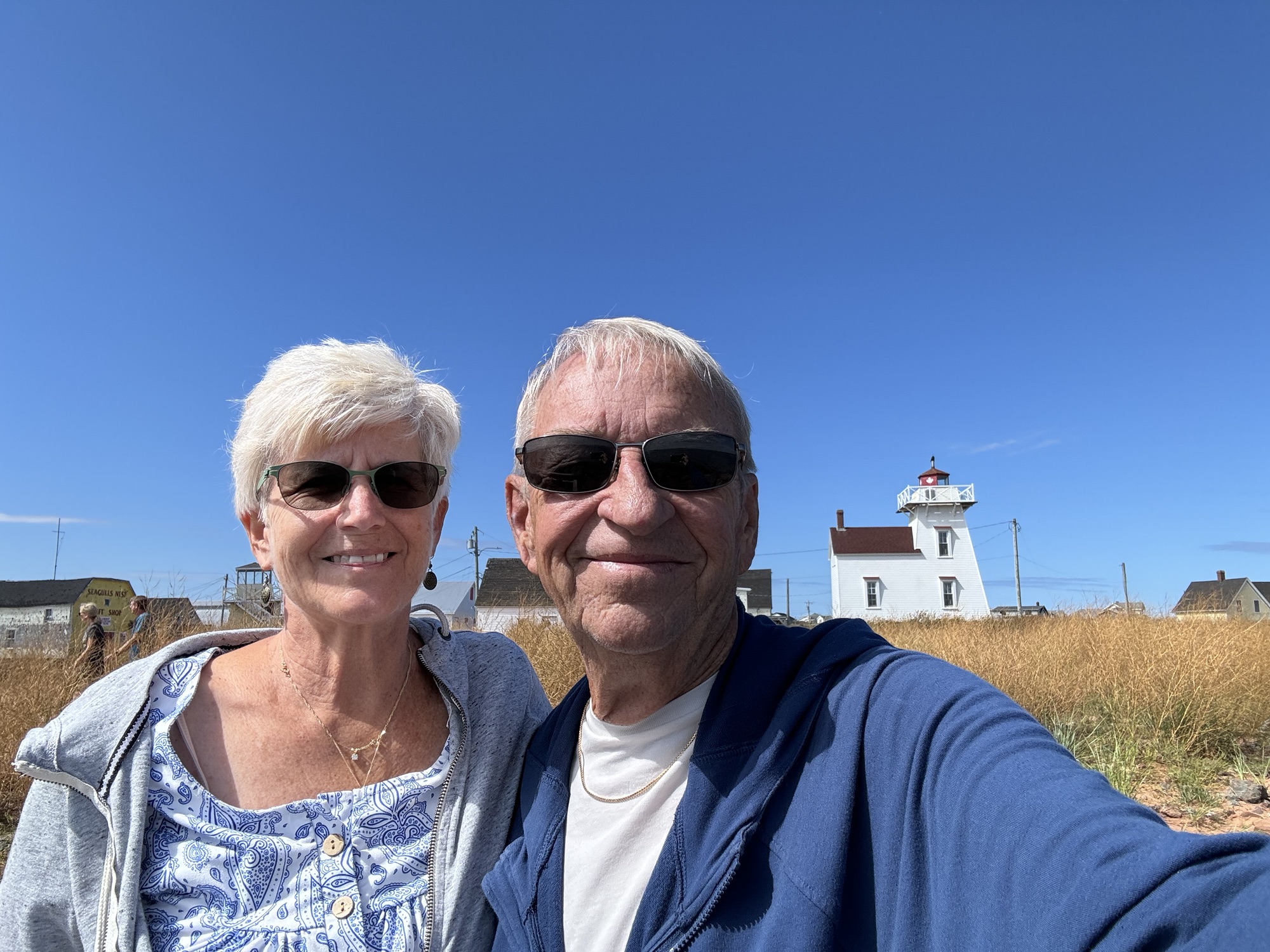
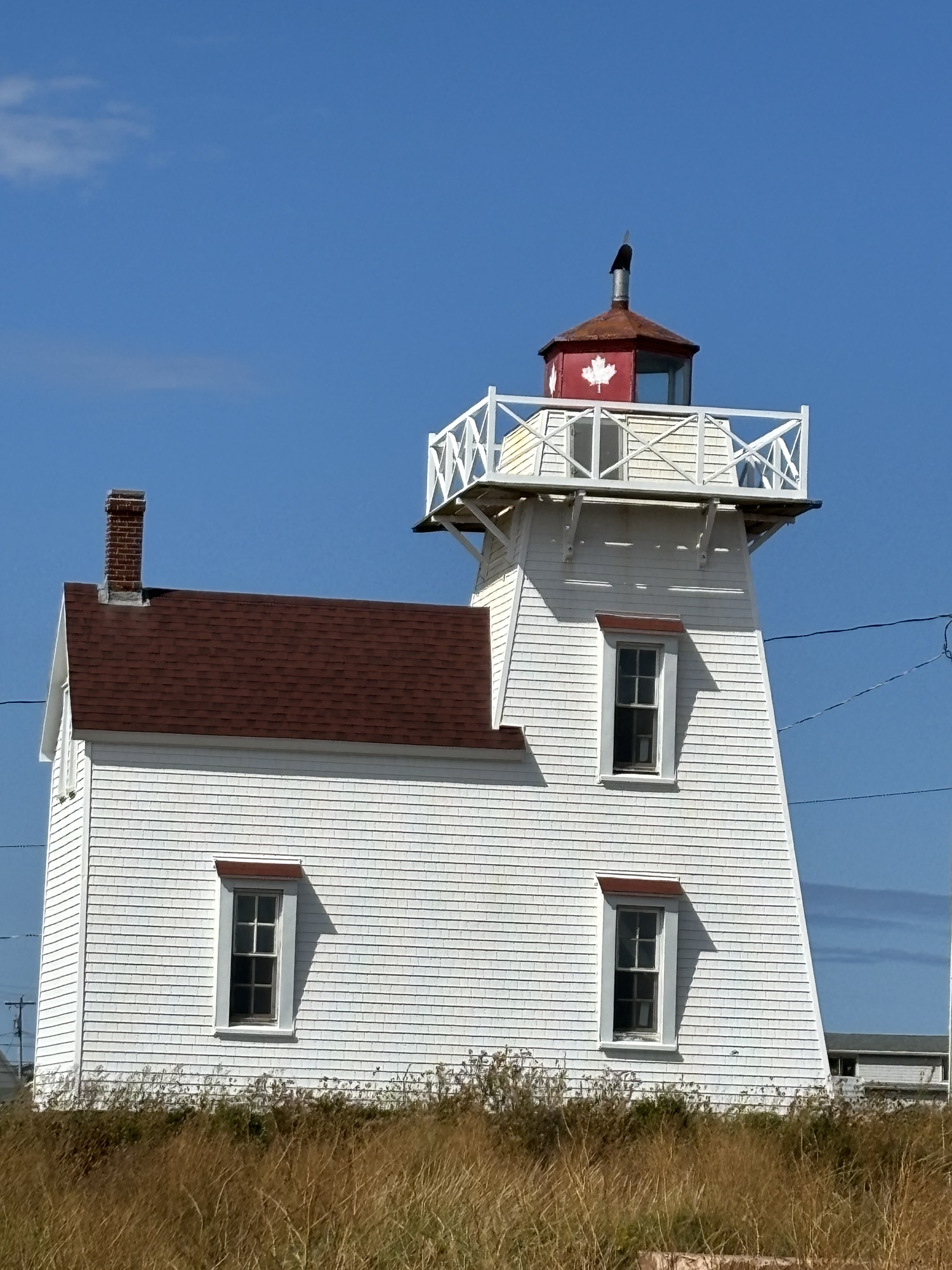
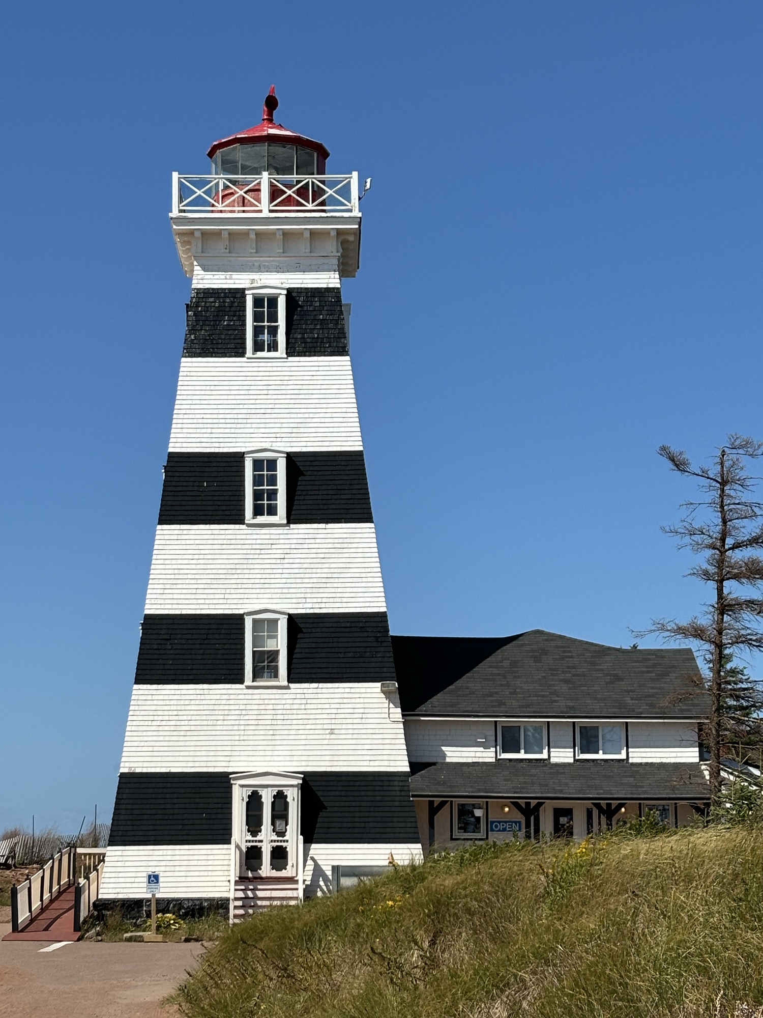
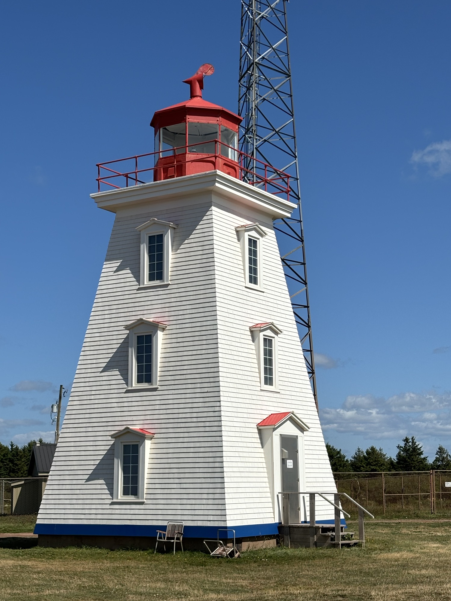
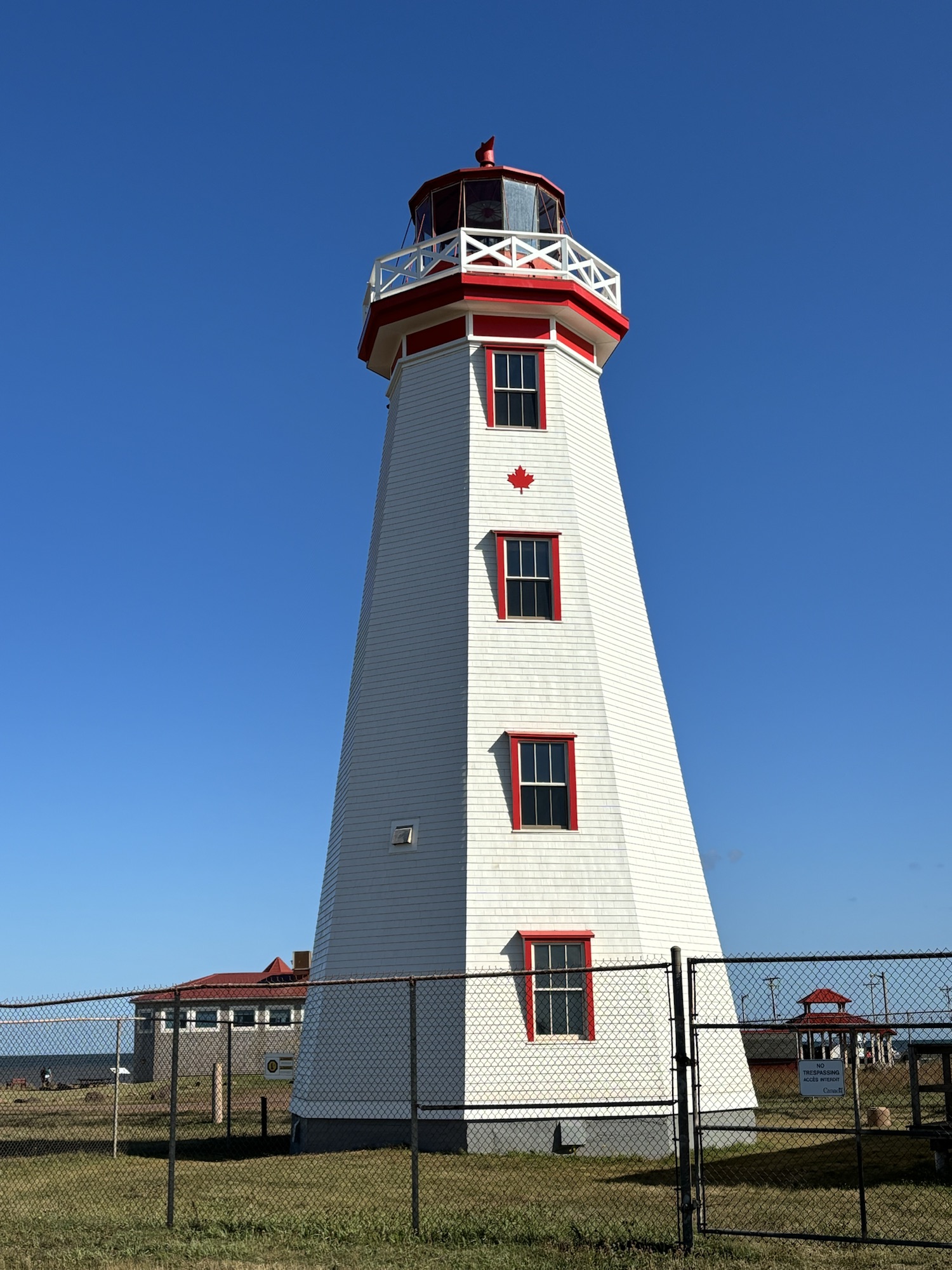
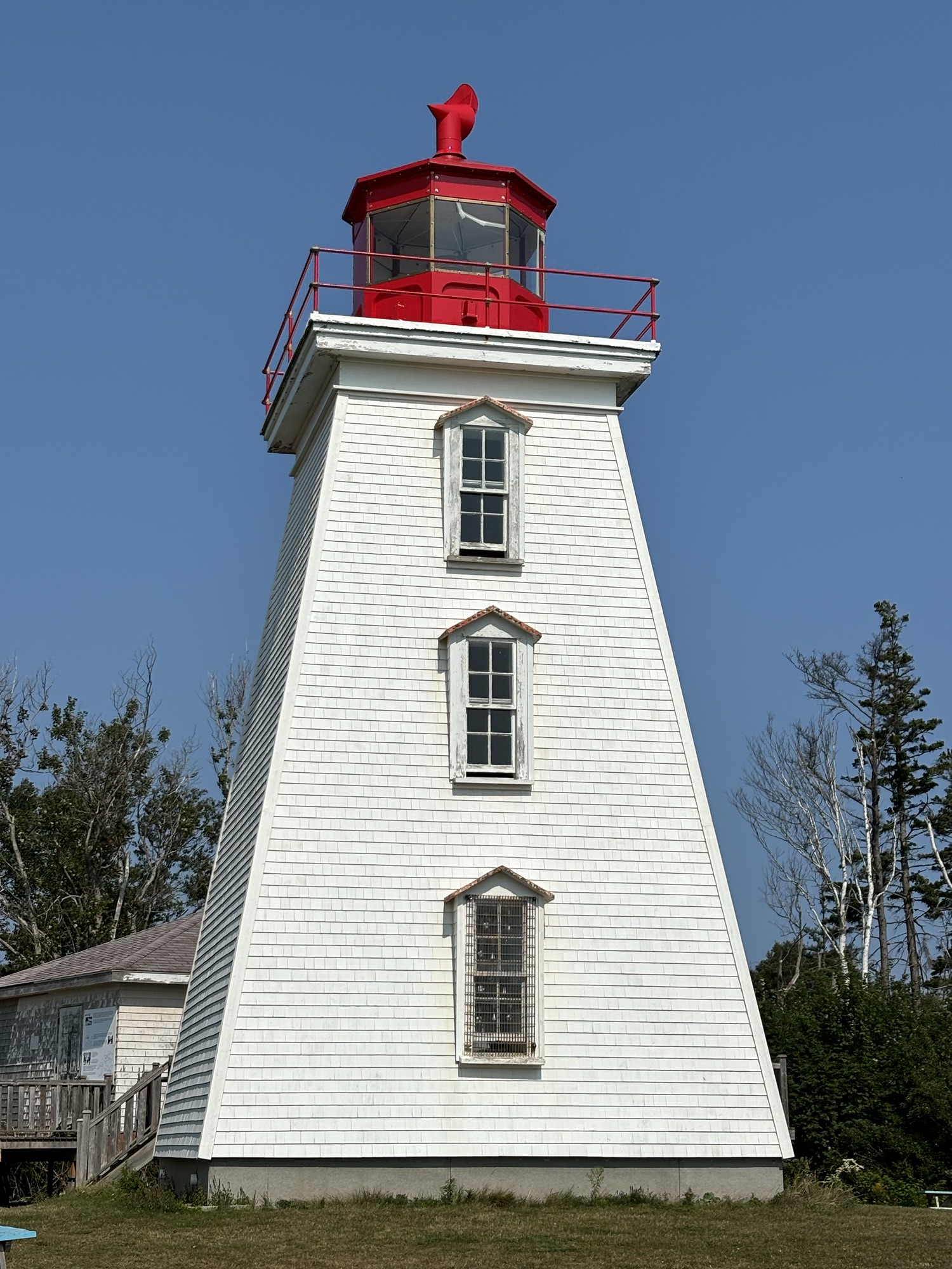
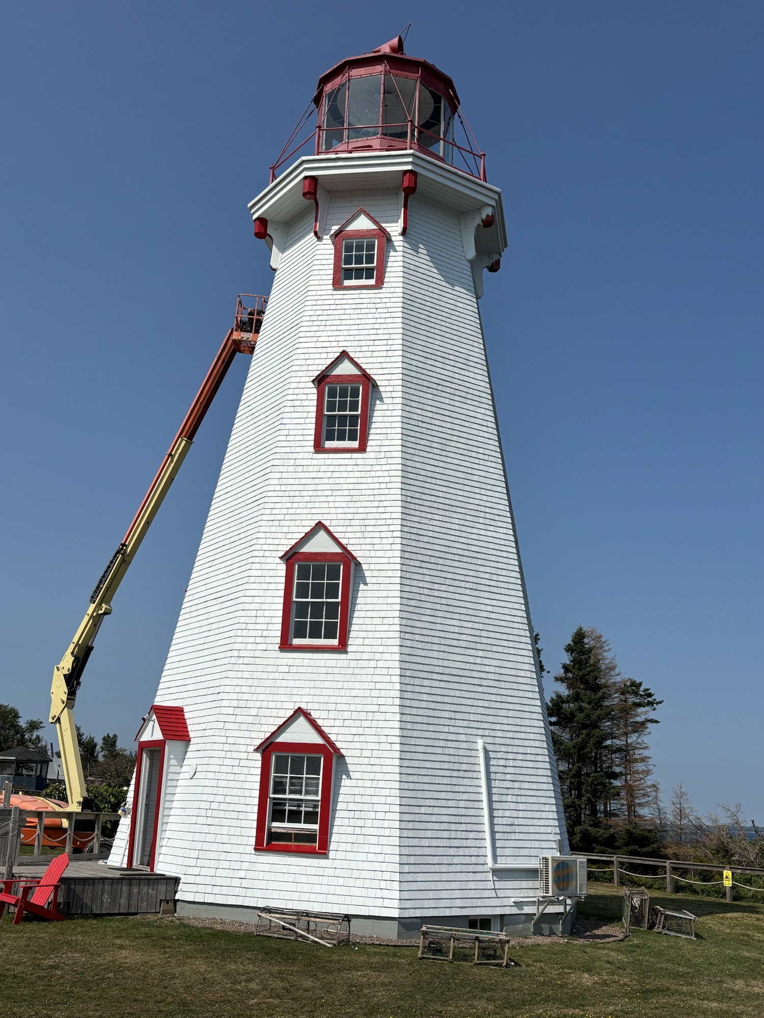
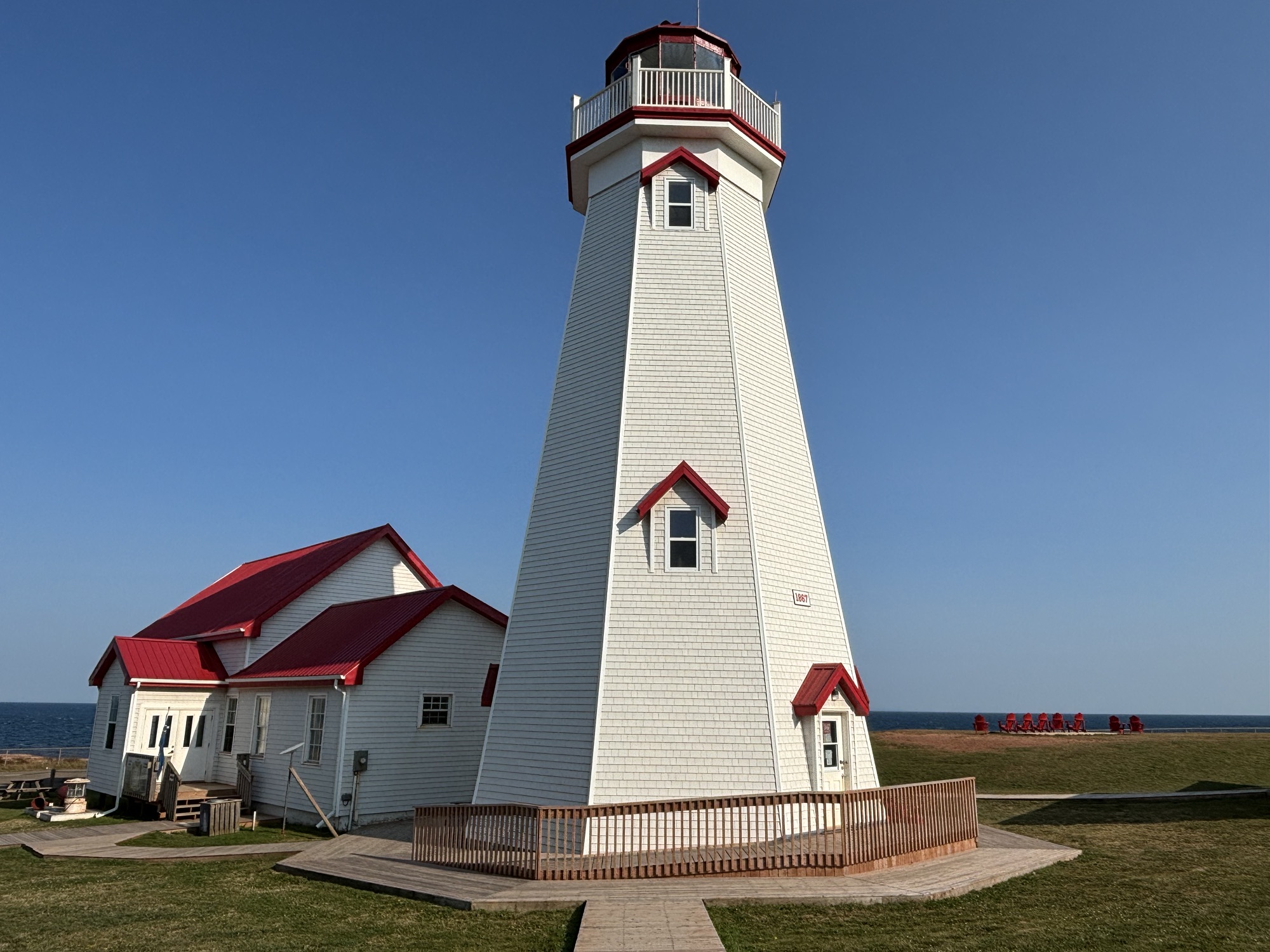
Further up the coast we stopped to see a couple of lighthouses, especially the famous one in West Point near the Cedar Dunes Provincial Park. It is unique due to the black stripes at several levels and the square windows in the stripes. There are 12 major lighthouses with over 60 total lighthouse or range lights on the island. Here are some of the ones we saw.


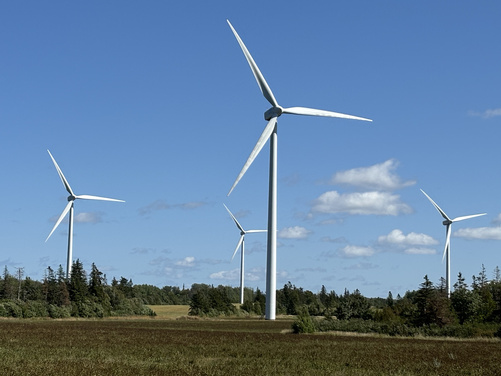
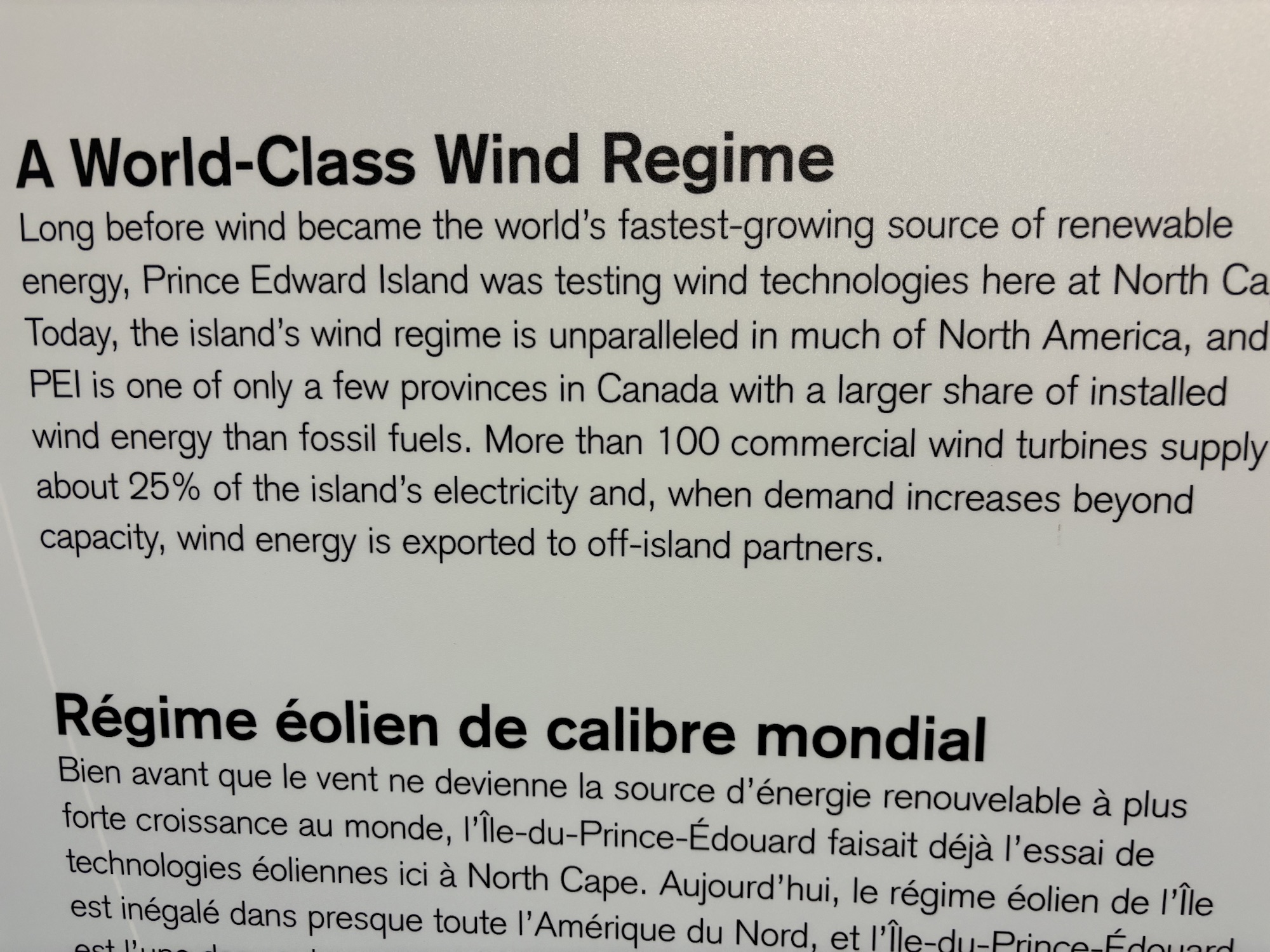
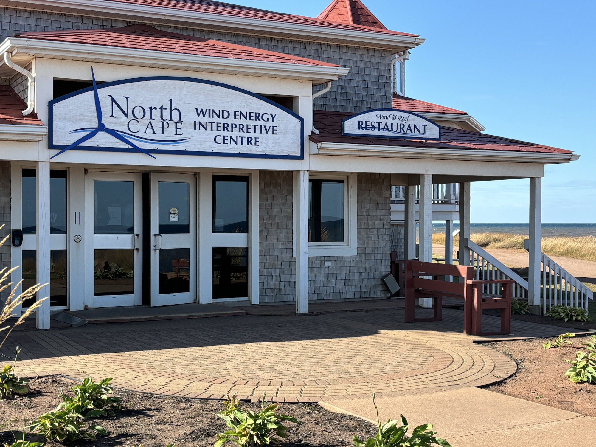
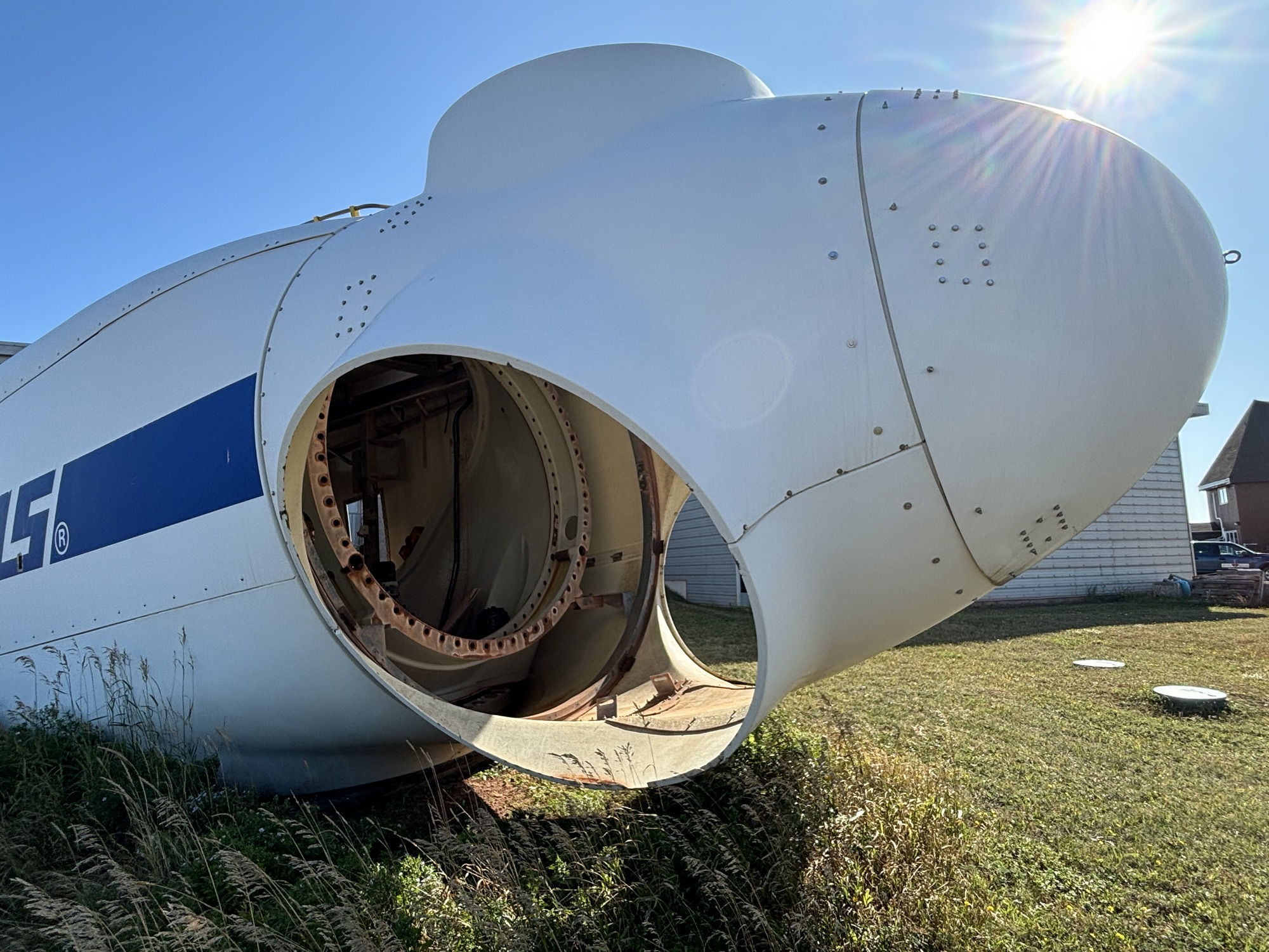
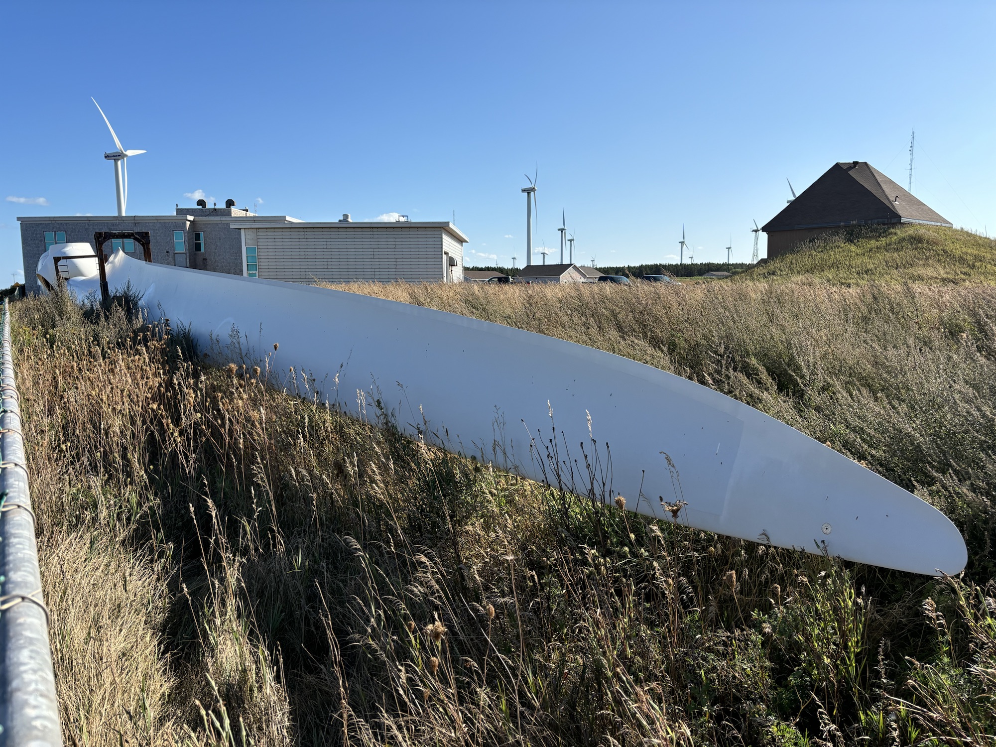
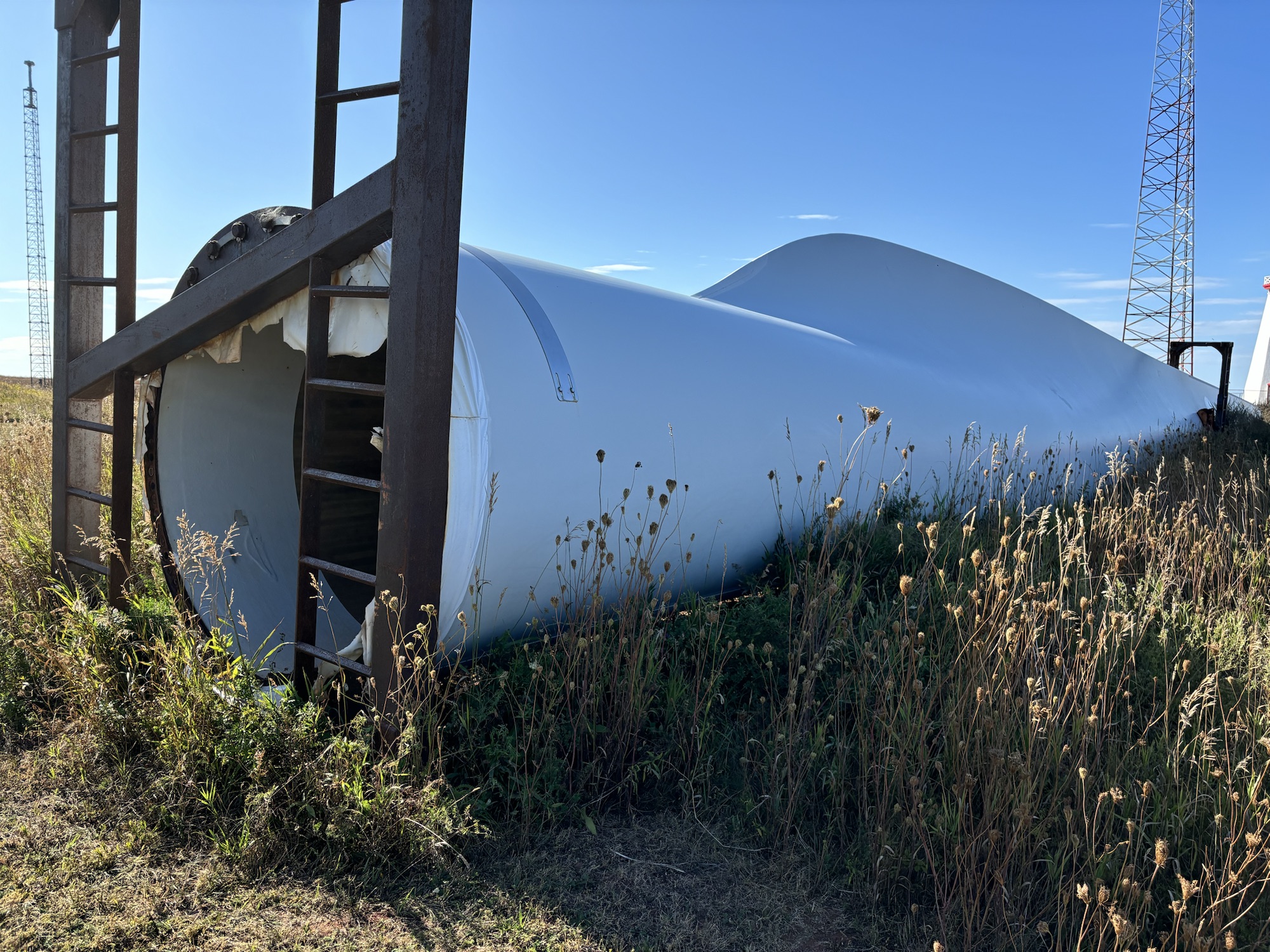
Next on the agenda was the wind turbine farm up on the very northwestern tip of the island in North Cape. The wind historically blows here enough that the area is associated with a research group that uses it as a testing ground for new designs and technologies. There are about 30 turbines there including the largest one at 410 feet tall. To see the blade and the nacelle up close really makes an you realize how big they are. There are about 5 other wind turbine areas around the island that you see as you drive around as well. They provide about 25% of the island’s electrical power.
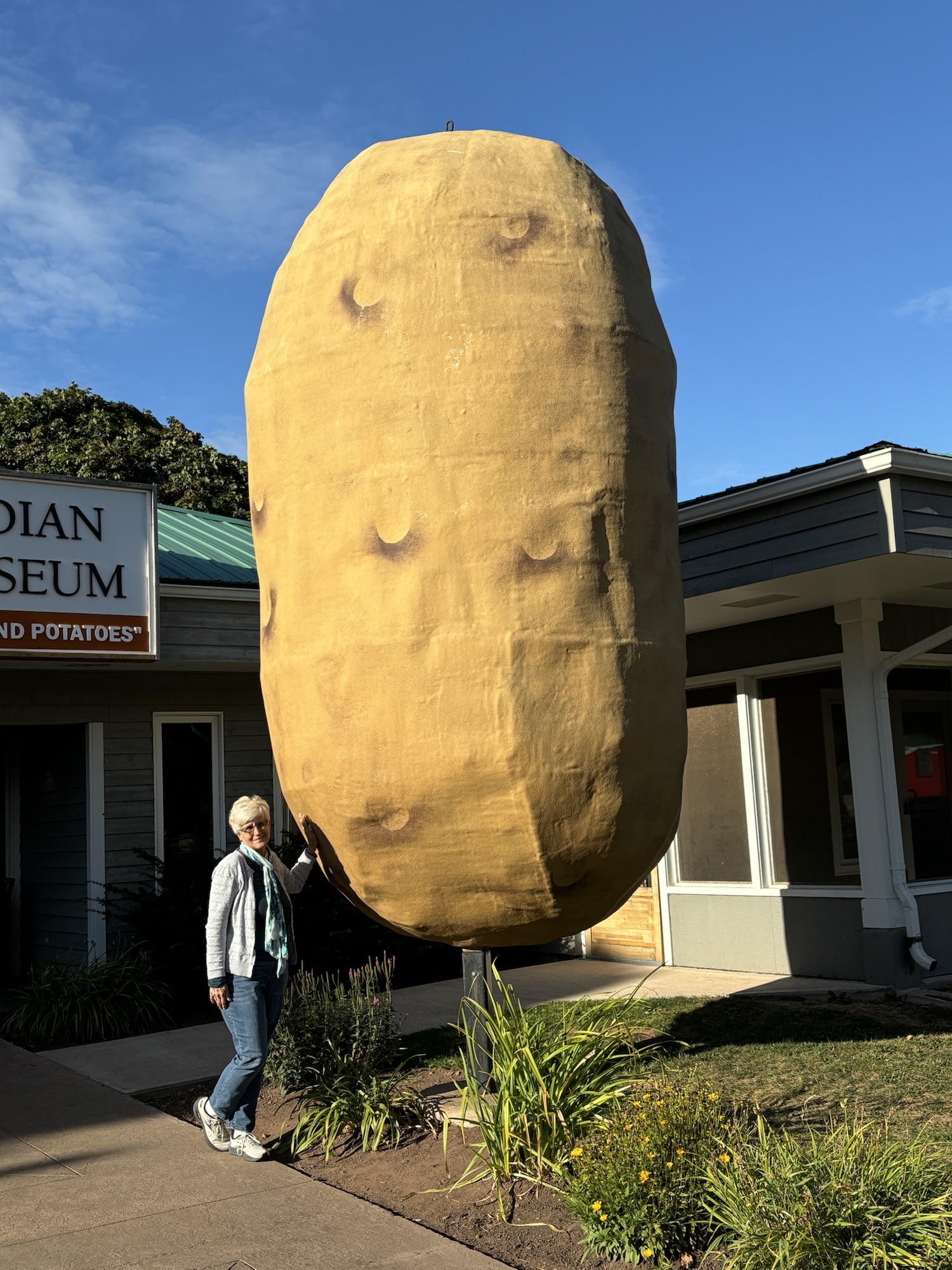
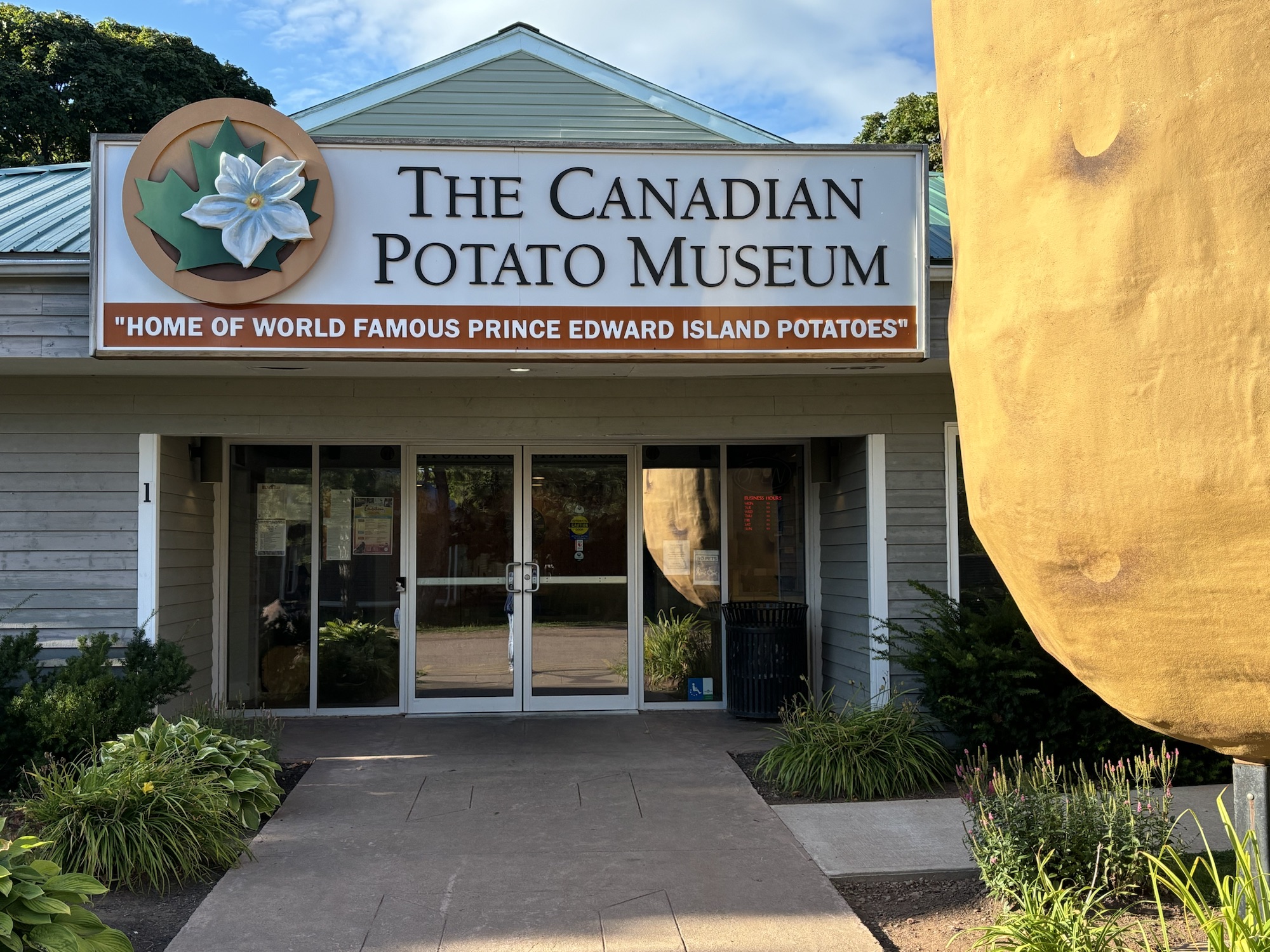
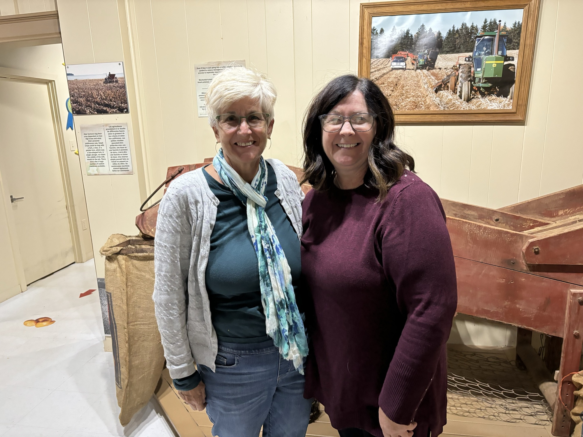
Finally, with minutes to spare, and with Gail driving, we made it to the Potato Museum in O’Leary. They were 10 minutes from closing, and we told them that we just had a few questions. The manager invited us into the museum, answered our questions, and showed us a quick review of the whole process. Very interesting! The rich red soil all over the island contributes to farming of over 100 types of potatoes. There is only one growing season per year and now is the time to harvest. They can only plant potatoes on a field every 3 years, so they alternate with soybeans or corn or hay the other years. I could go on more, but you get the picture. Lots of potatoes!
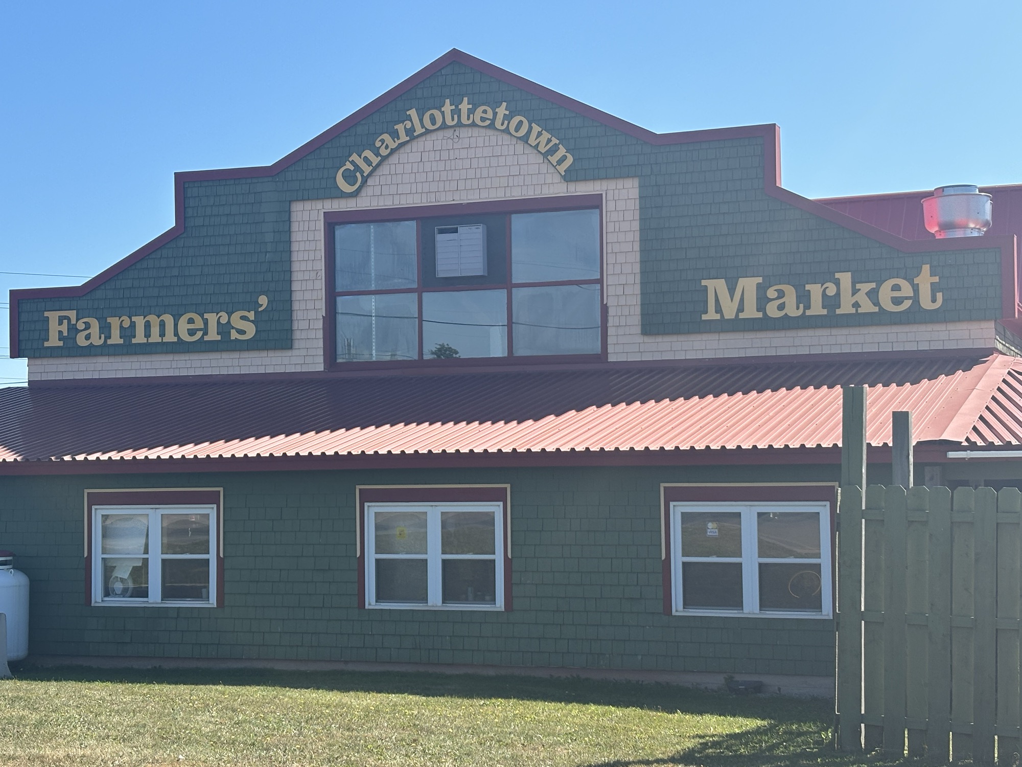
The next day we headed to Charlottetown, the capital. Our first stop was the Charlottetown Farmers Market which is opened on Wednesday’s during the summer. We caught the last Wednesday and were awarded with some freshly made donuts, fresh tomatoes and some new potatoes (of course)!
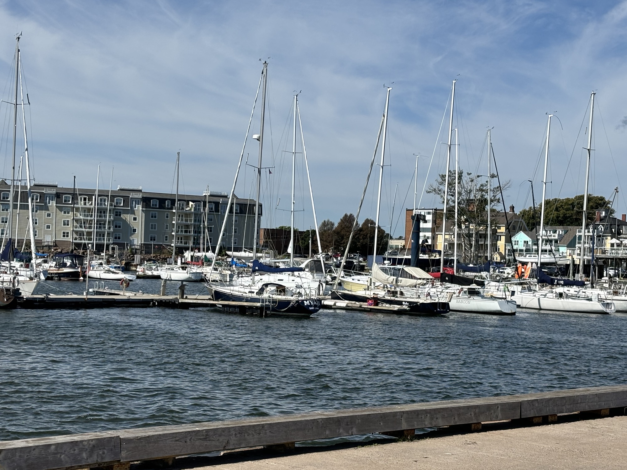
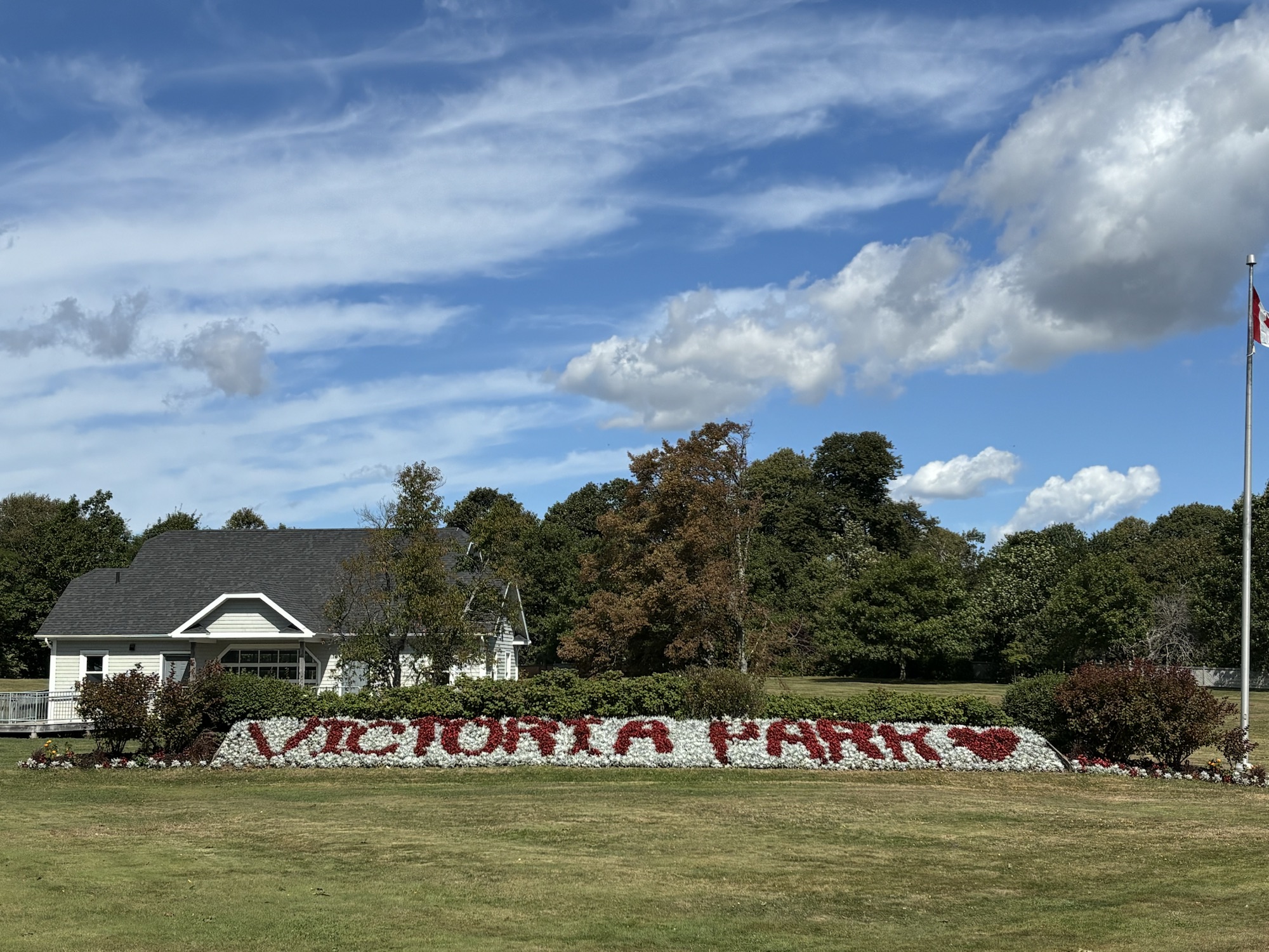
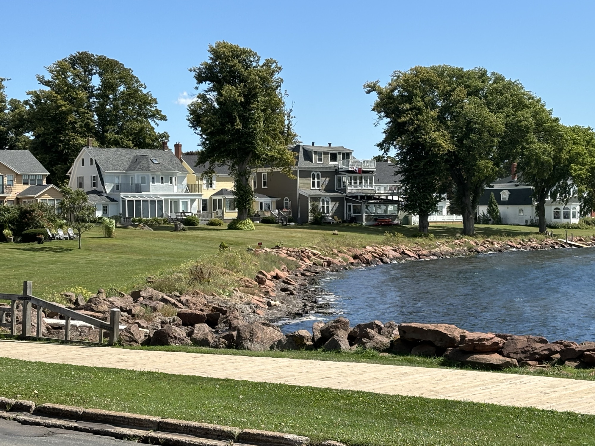
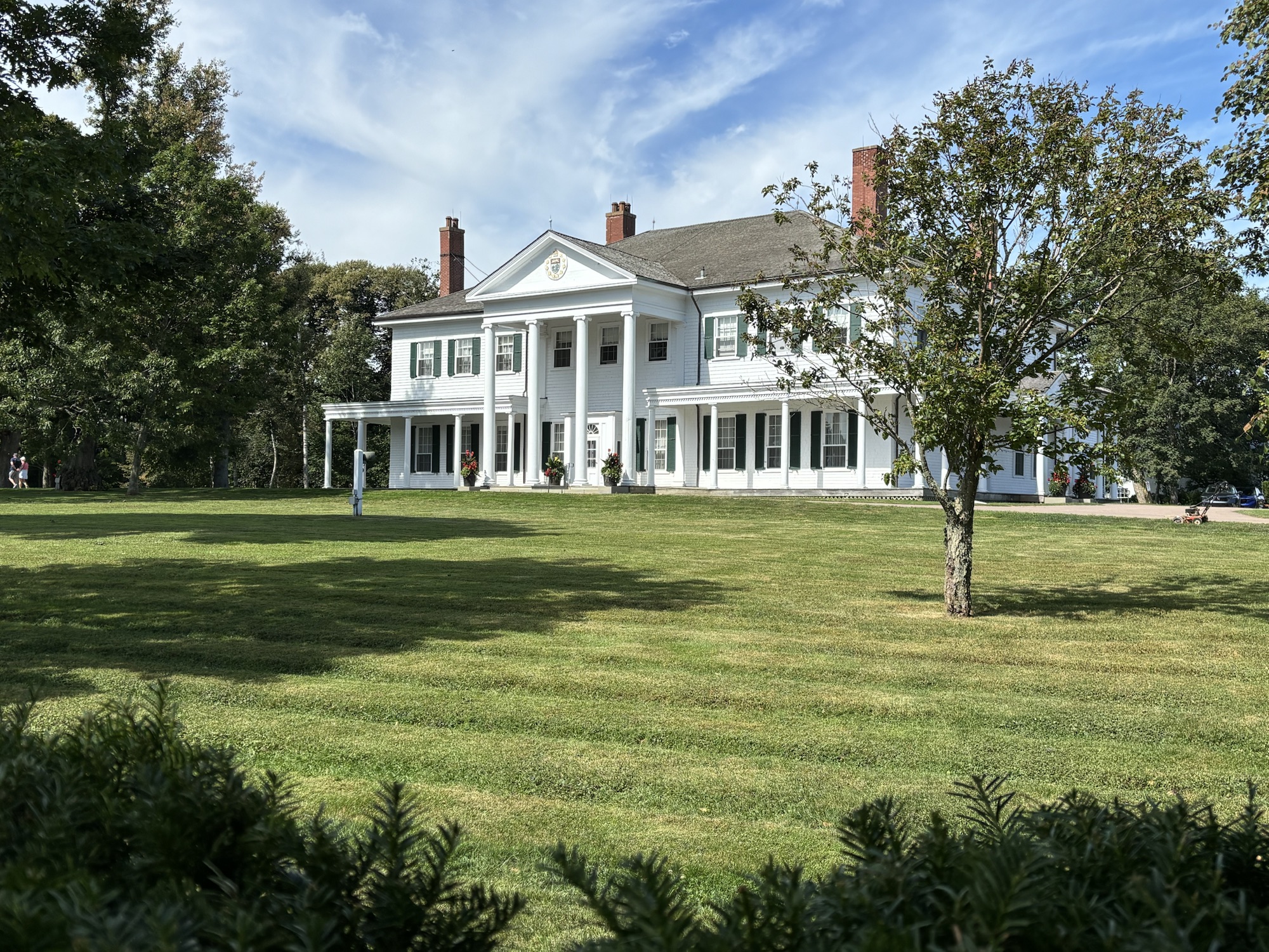
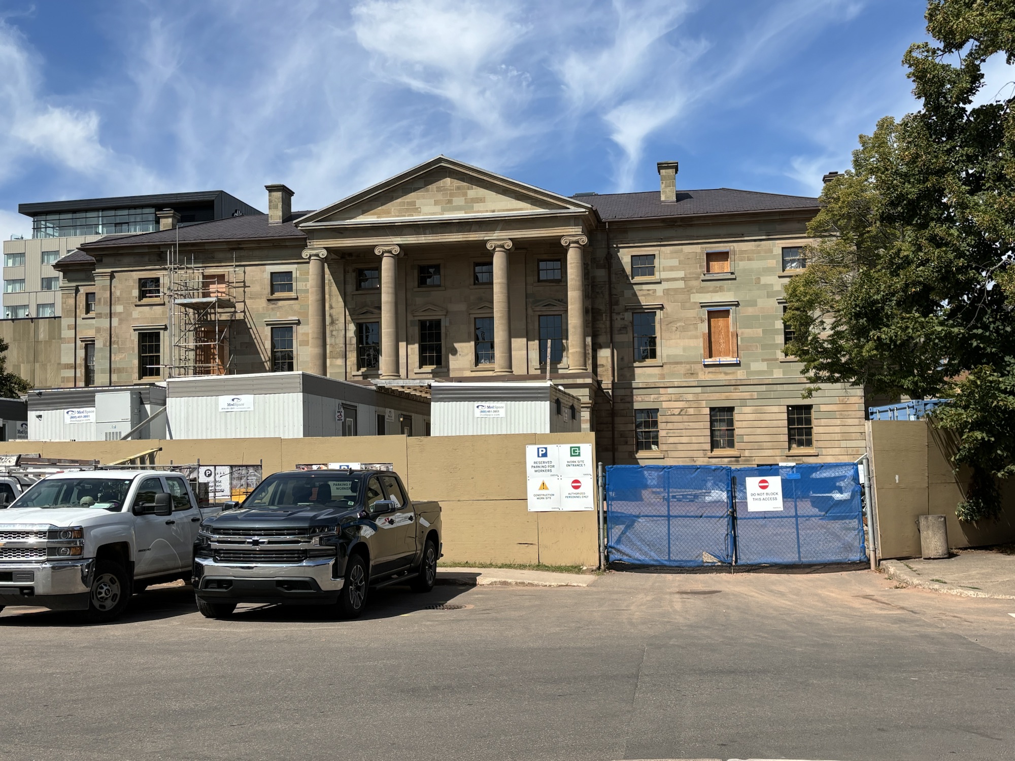
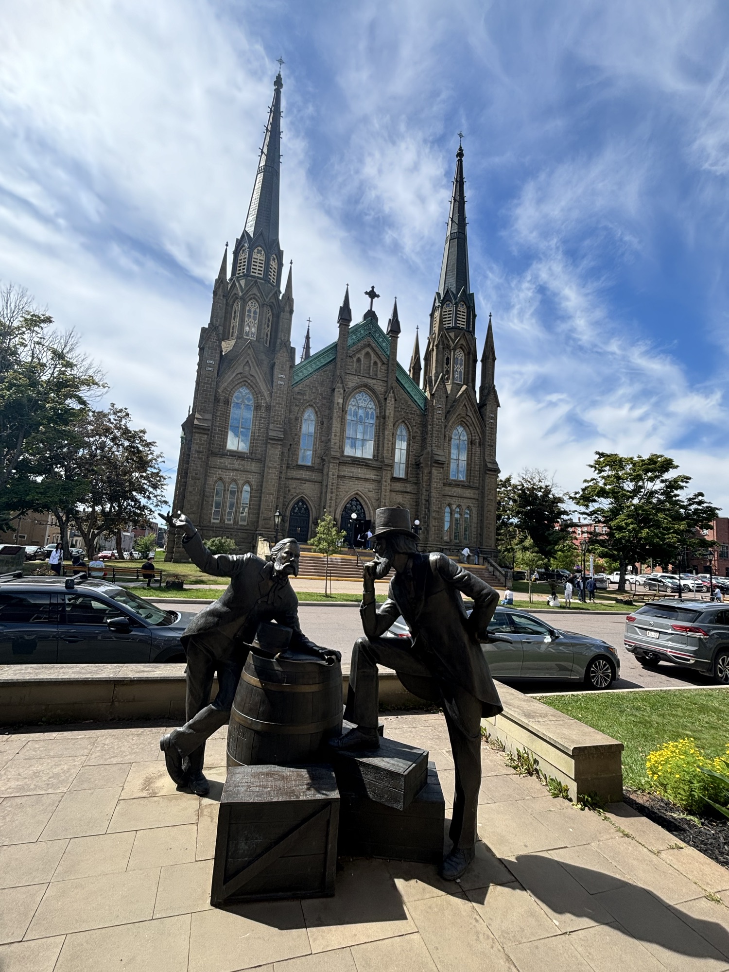
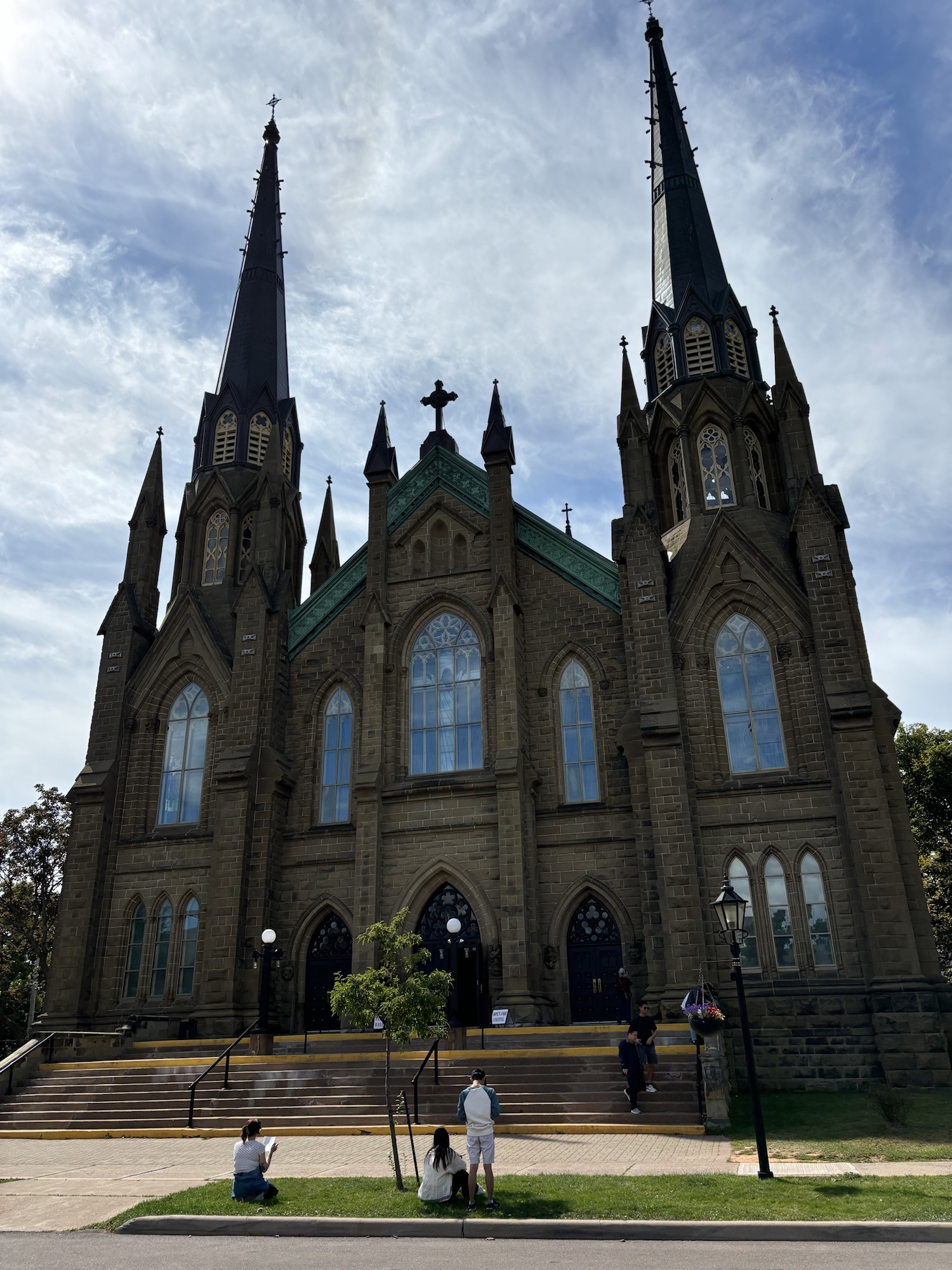
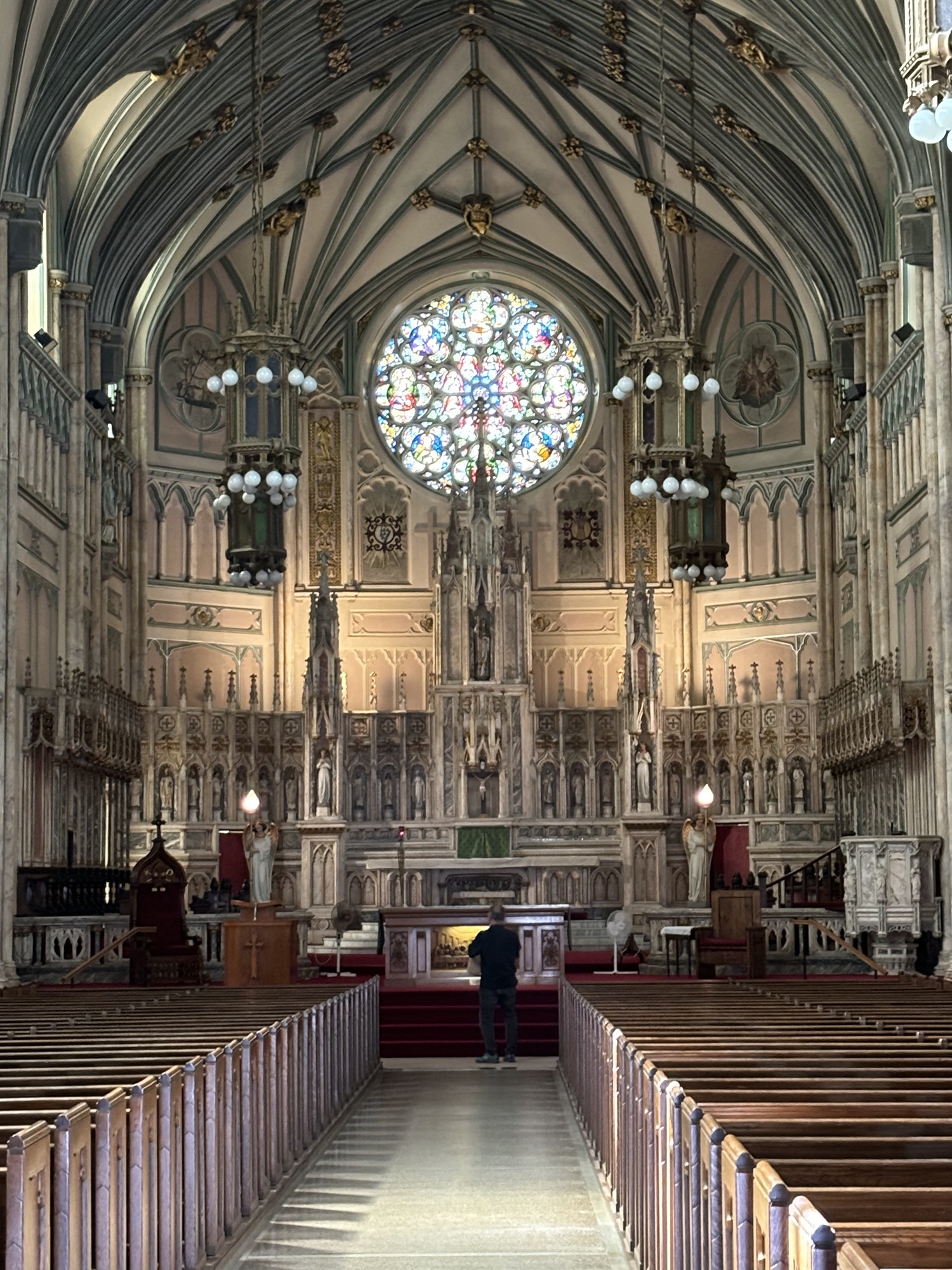
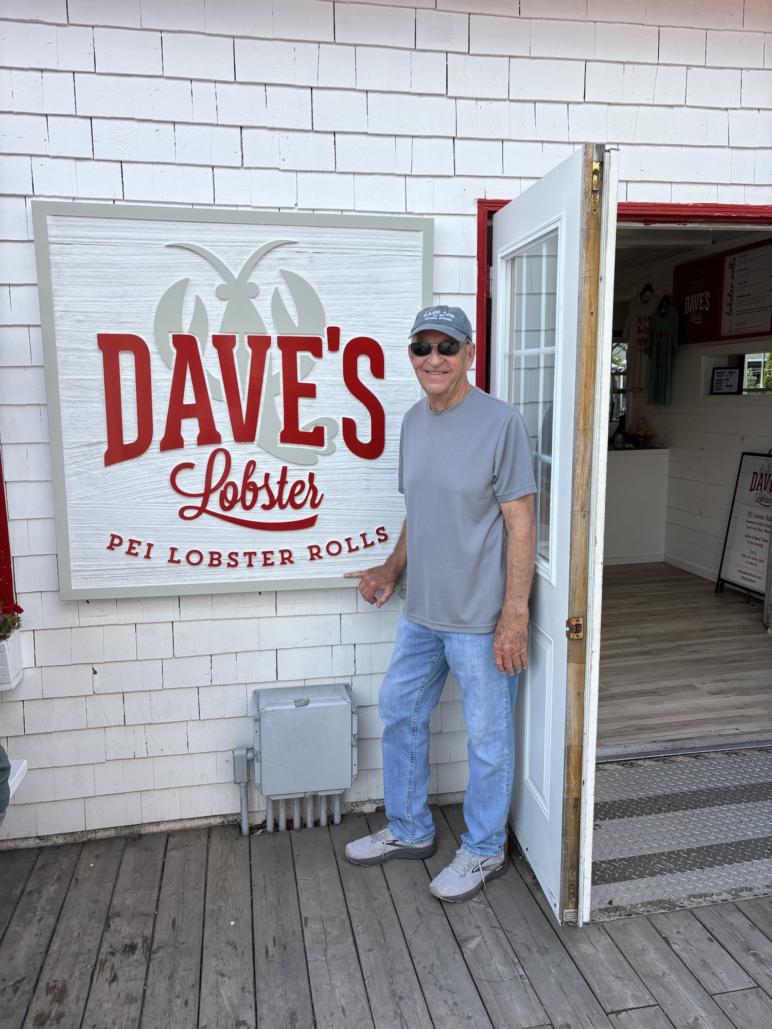
On to town and a walk around the harbor over to Victoria Park. Then a walk around the historic area. Charlottetown is known for being the birthplace of Canada as the meeting place of the province representatives to discuss forming the Dominion of Canada in 1864. The area around the capital and the capital building itself are still being renovated after the hurricane so we could not go in. Instead, we headed down the street to see the Cathedral and then back to the cruise ship docks for a lobster roll at Dave’s (not the best of the trip – but we had to try one there!) Our car was parked next to the Ann of Green Gables Chocolate shop, so we had to go in. We didn’t go to any of the other Anne of Green Gable’s attractions, but we did buy some chocolate!
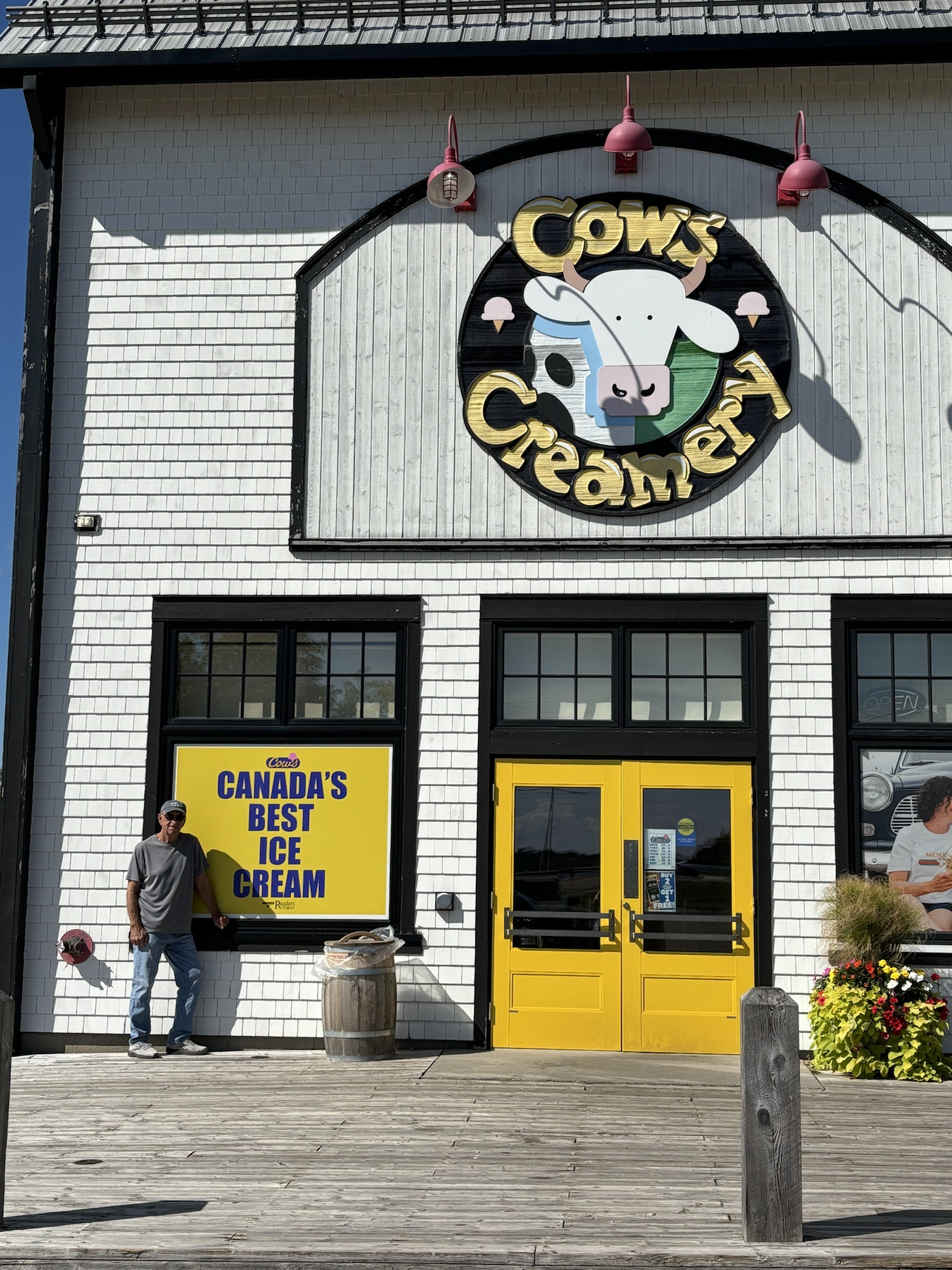
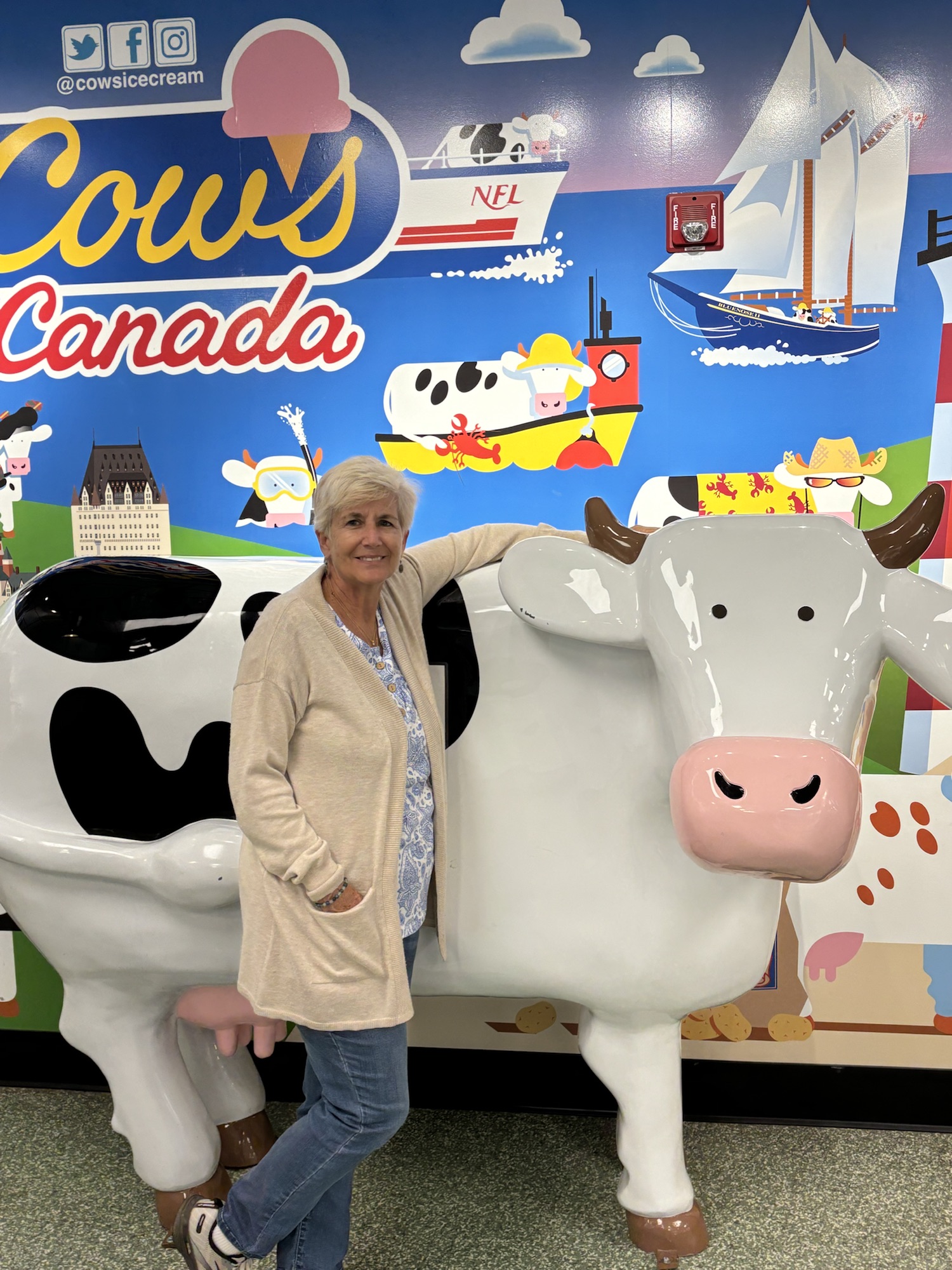
Then on to Cows Creamery. It gives Ben and Jerry a run for its money, especially with the marketing. And the ice cream is great! Too bad you can’t get it in grocery stores.
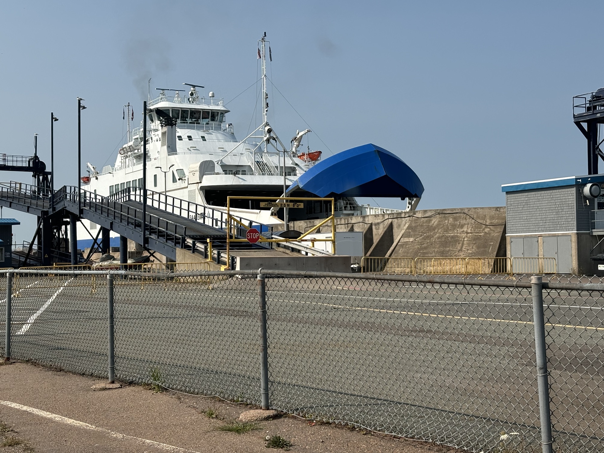
The next day we took off toward the southeast end of the island. More lighthouses and beautiful coastal views down by the ferry docks. The other way to get on and off the island is by ferry normally between Woods Island docks and Caribou, NS.
We made time to visit three other sites along the way north to the east end, the Singing Sands Beach in Basin Head Provincial Park, the final light house at East Point, and a stop at Richards for another lobster roll.
First, we could not get the sands to sing! We weren’t sure which “sands” to use. The wet sand by the water, the moist sand up the beach, or the dry sand further up. And we didn’t know how to make them sing. Skip across the sand, shuffle along over the sand, or what. So, we gave up and went to watch few kids jump off the bridge into the canal way water (which was clearly posted not to do!) But they survived and seemed to enjoy the cold water!
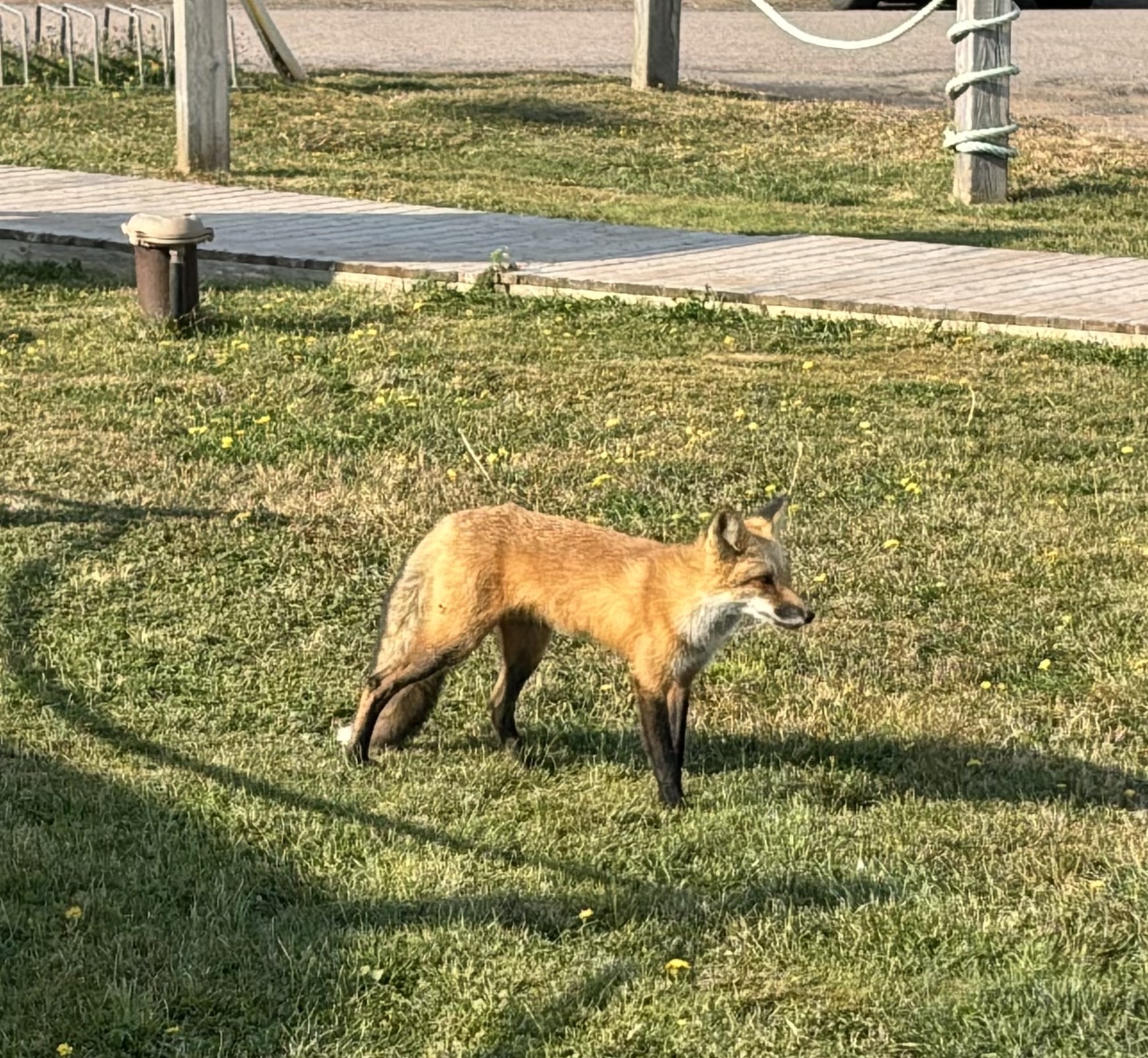
Second at the lighthouse, which was pretty typical, there was friendly neighborhood red fox! It seemed to know its way around and was just showing off to get his picture taken (which everyone there did!)
Finally, we joined the crowd at Richards, the place we had seen the first day, and got in line to order a lobster roll and some fish and chips. As we approached the counter, it was announced that they were out of fish. So, we ordered two lobster rolls and were happily rewarded as we had been told. In fact, we decided to return the next day to get the fish and chips and some fried scallops (which they were also out of the day before).

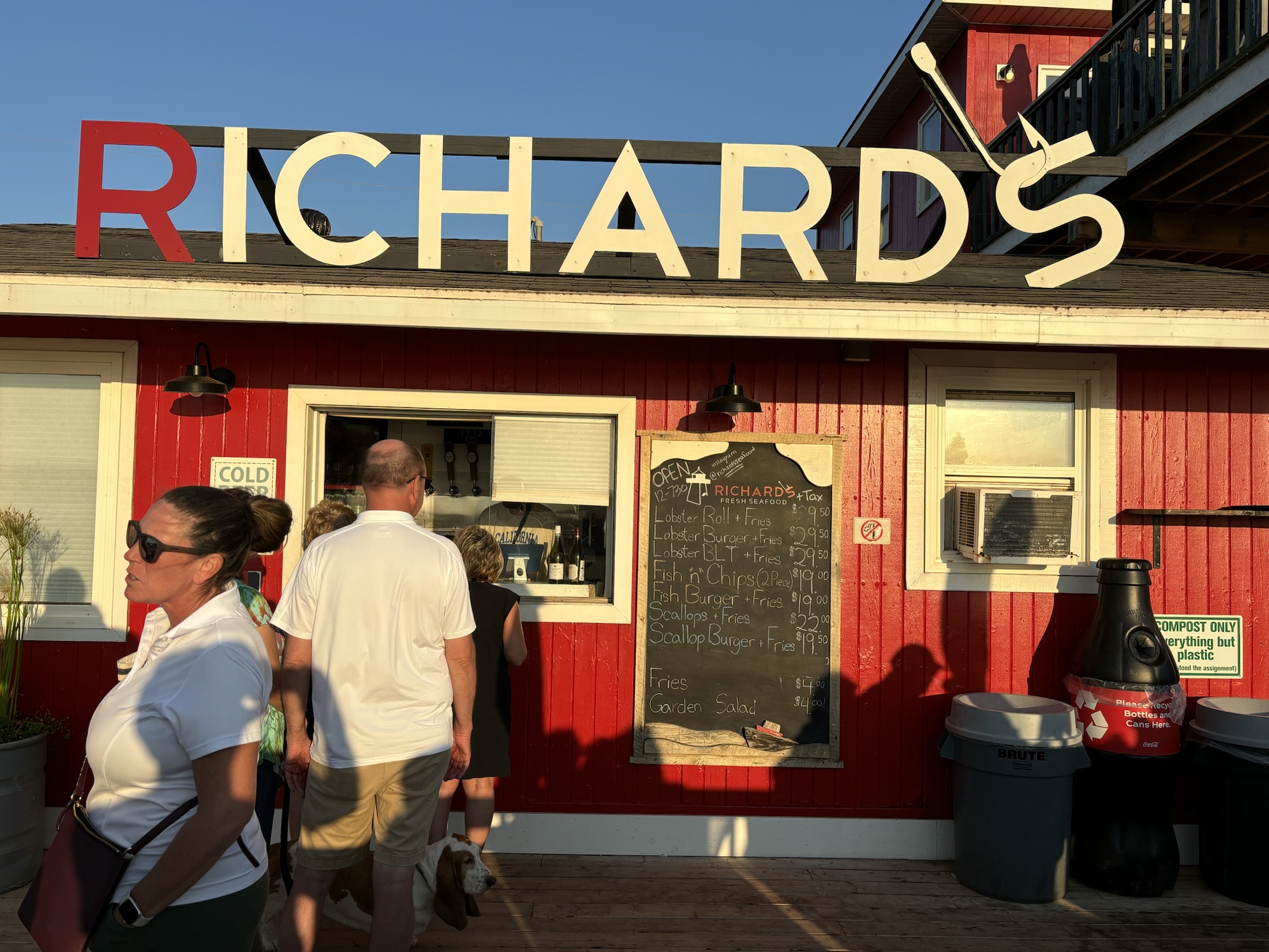
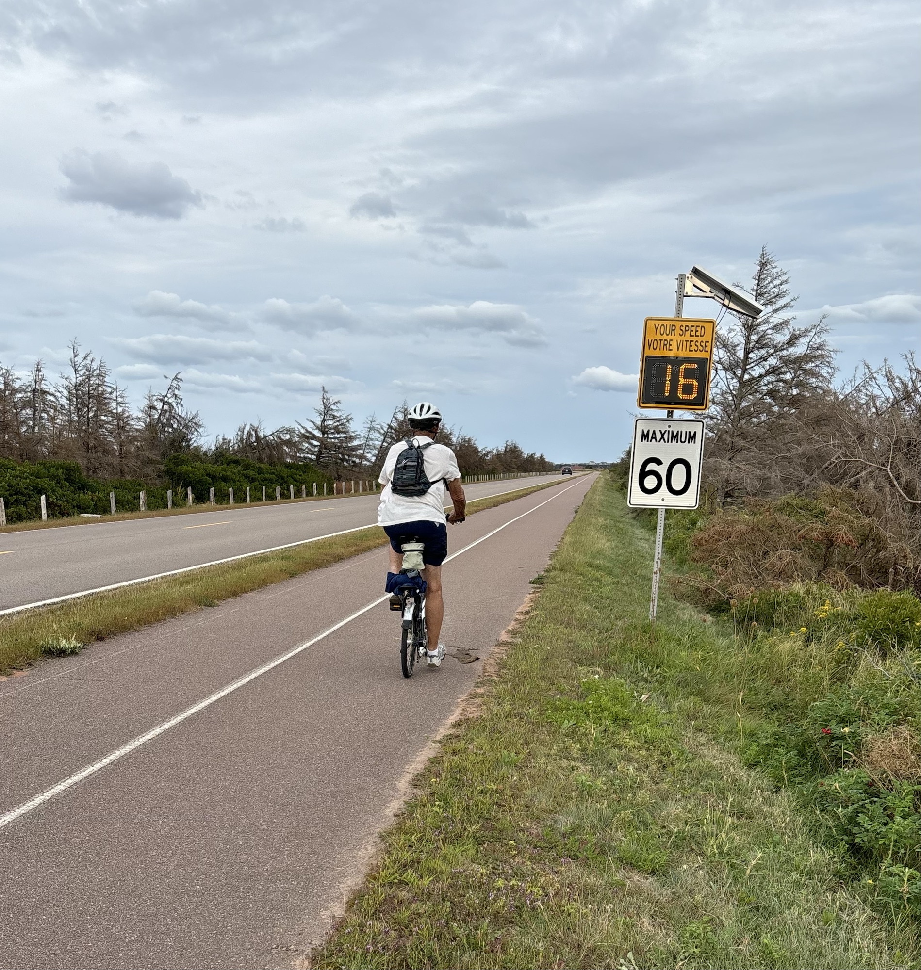
To get to Richards this time we pulled out the bicycles and headed back to the park. The road was flat and went along the beach where we had driven on the first day. We biked past Richards for a couple more miles, then turned around and headed back for an early dinner. This time they had both the fish and the scallops, and we were again rewarded with a great meal.
We were now ready to move on. We had stayed at the RV park for 6 days, longer than any other place so far. And we had driven virtually the whole island. We had learned more about potatoes than we could remember and that we still could not make the sand sing!
The next day we were ready to go back across the bridge, pay our toll, and head to another province. Come along with us!
