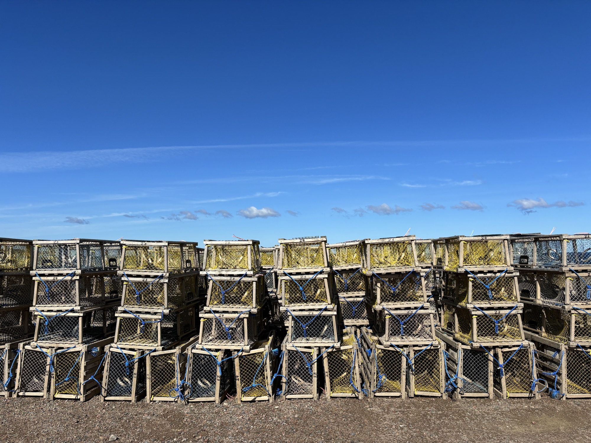
But before we left the larger Halifax area, we decided to go get a propane fill. We had checked for a company with propane and found one that sold construction supplies and had a large propane tank. The RV has a 40-pound tank permanently installed so we cannot take it out and get it filled. And this was going to be our first time to fill it. We had been traveling for over 4 months plus our earlier trips without any problem. We only use it for the hot water and the stove. There is a propane furnace, but we have not needed it yet. So, the propane had lasted all this time.
But now it was down to about 25% so we called, made an appointment and headed over for the fill. All went well even though we had to unhook the Jeep and pull the RV up close to the tank. He topped it off but only to 75% which he showed us was all it would take because of where the float was located. So now we have plenty and we learned a thing or two.
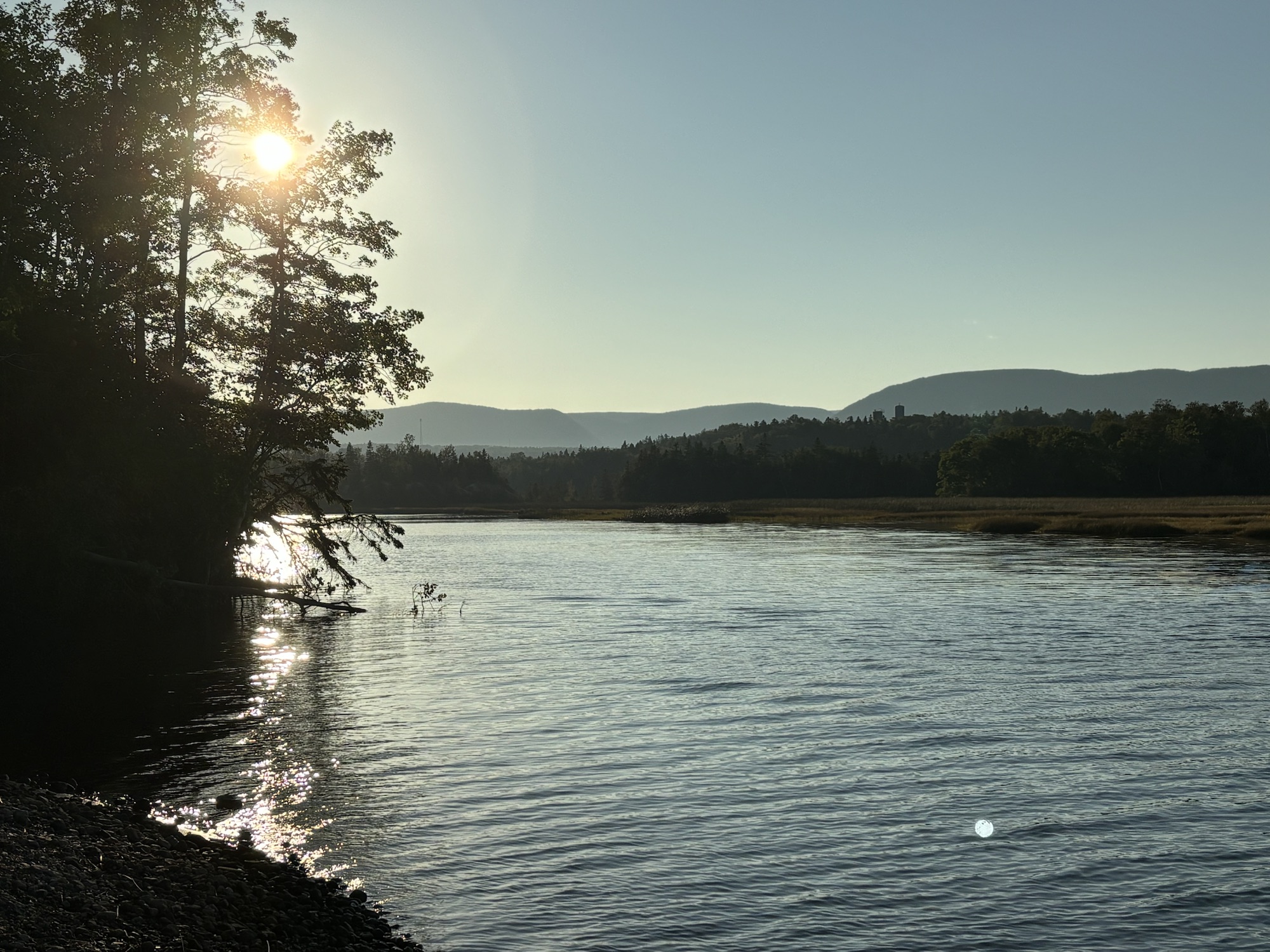
Then we headed out of town. From Halifax to the north island of Cape Breton, we decided to take the highway vs the coast road to make it easier. Highway 102 goes across the island to Truro following the Shubenacadie River course. Remember the Shubie River? Hwy 102 then connects to Hwy 104 going north to Port Hawkesbury and the southern end of Cape Breton. These two highways are as close to a US Interstate as we have seen recently, and we decided to take the smooth, faster route vs the coast road again. Turned out to be a good decision and we enjoyed the ease as well as the scenery.
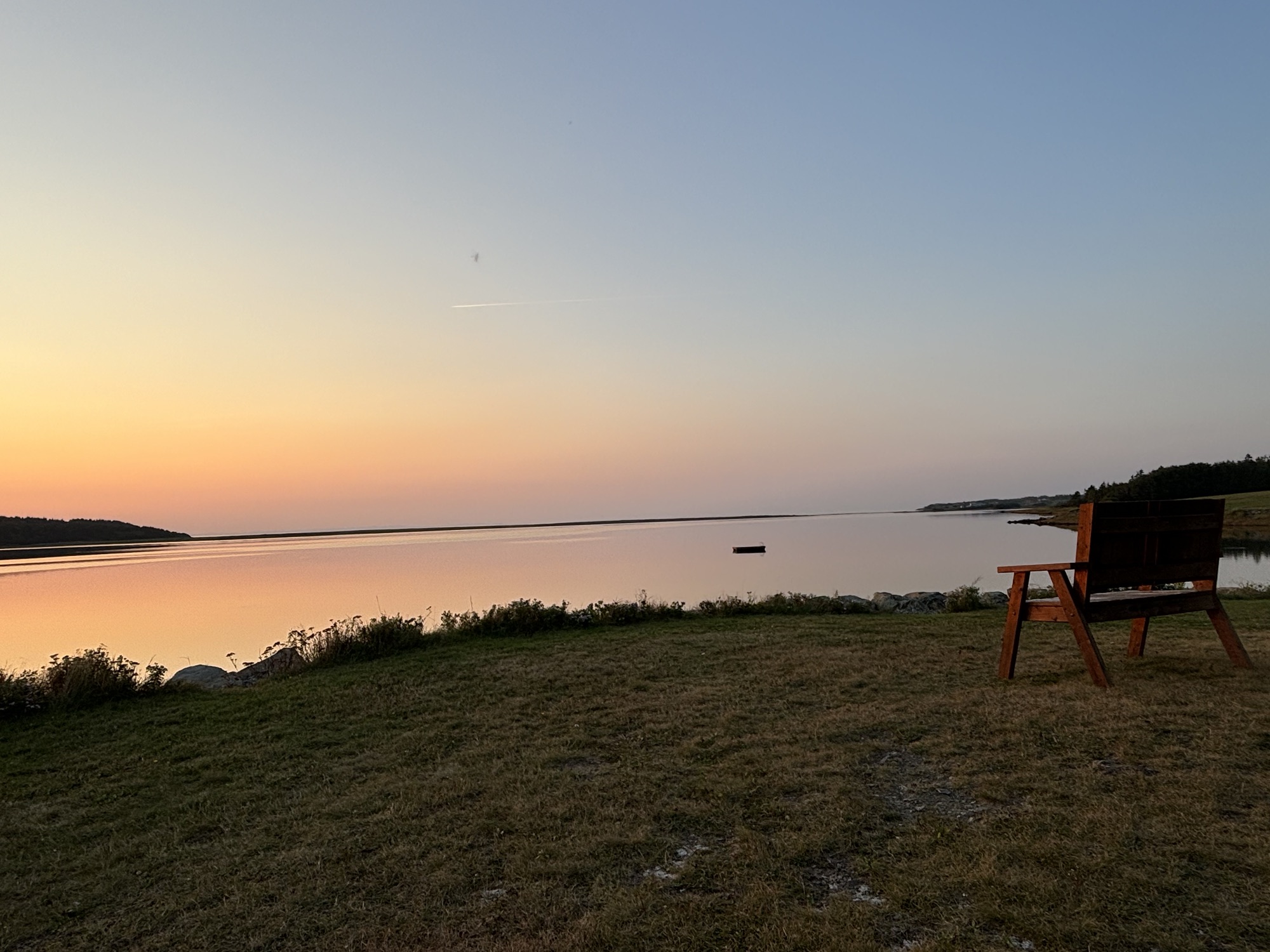
Our stop was actually in a smaller town called Harve Boucher at a very nice campground. It was a small park and only had one washer and dryer that we immediately took over and to catch up with the laundry. We met a group traveling together who invited us over for an evening campfire which was the first time on the trip for such an invite. And it was a very nice evening. They were leaving the next morning to drive the Cabot Trail in their Jeeps, so we talked a lot about our different plans.
We were up early and headed out for the north end of the park. We decided to make one stop along the way at the Alexander Graham Bell National Historic Site. He had lived the latter part of his life in Cape Breton and perfected some of his aviation and nautical inventions including participating in the first airplane flight in Canada in 1907.
Another interesting fact is that his grandfather and father had been linguistics and worked with people who had hearing loss which began his interest in voice and communications. His wife, Mabel, was one of his students and had lost her hearing. We recommend a visit if you are in the area.

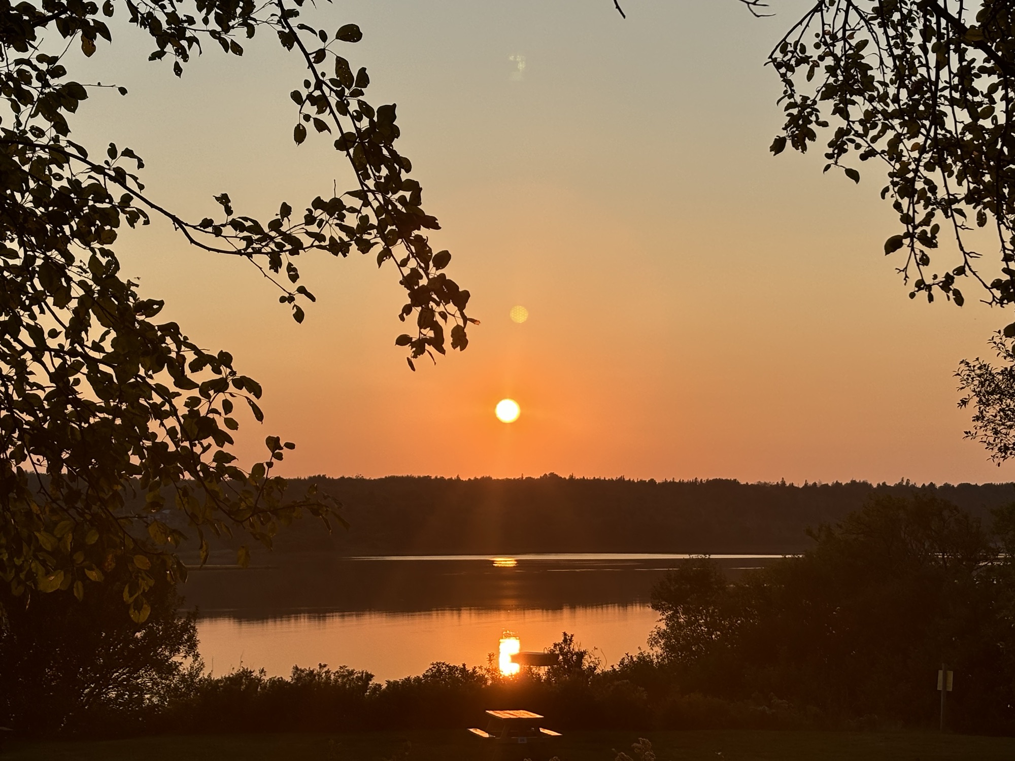
After Baddeck, we entered the Cabot Trail proper and drove up the road to our campground in Dingwall at the top end of the loop. One section of the road was very steep. We stopped at a lookout at the bottom of the hill and spent a few minutes stretching our legs a bit. Then we took off up the incline. About halfway up, we passed a couple of Jeeps going down and it was our new friends from the night before. They recognized us and waved as the went by! If we had not stopped at the bottom and if they had stayed at the lookout at the top, we would have seen each other there! Oh, well. So close.

The road was under repair in several places and the RV struggled to get through the rough roads and steep hills (both up and down!). But we made it and pulled into the campground for 3 nights. The plan was to stay there and use the Jeep to go exploring.
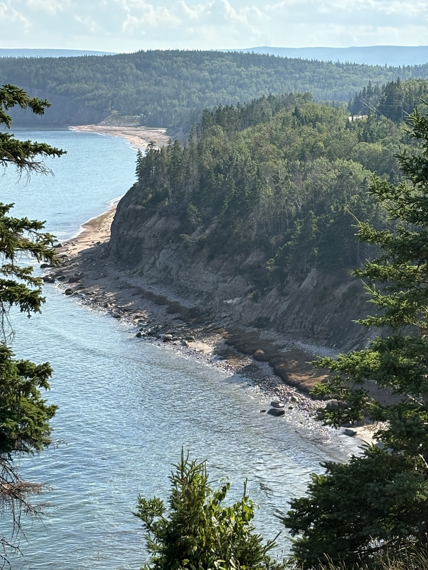
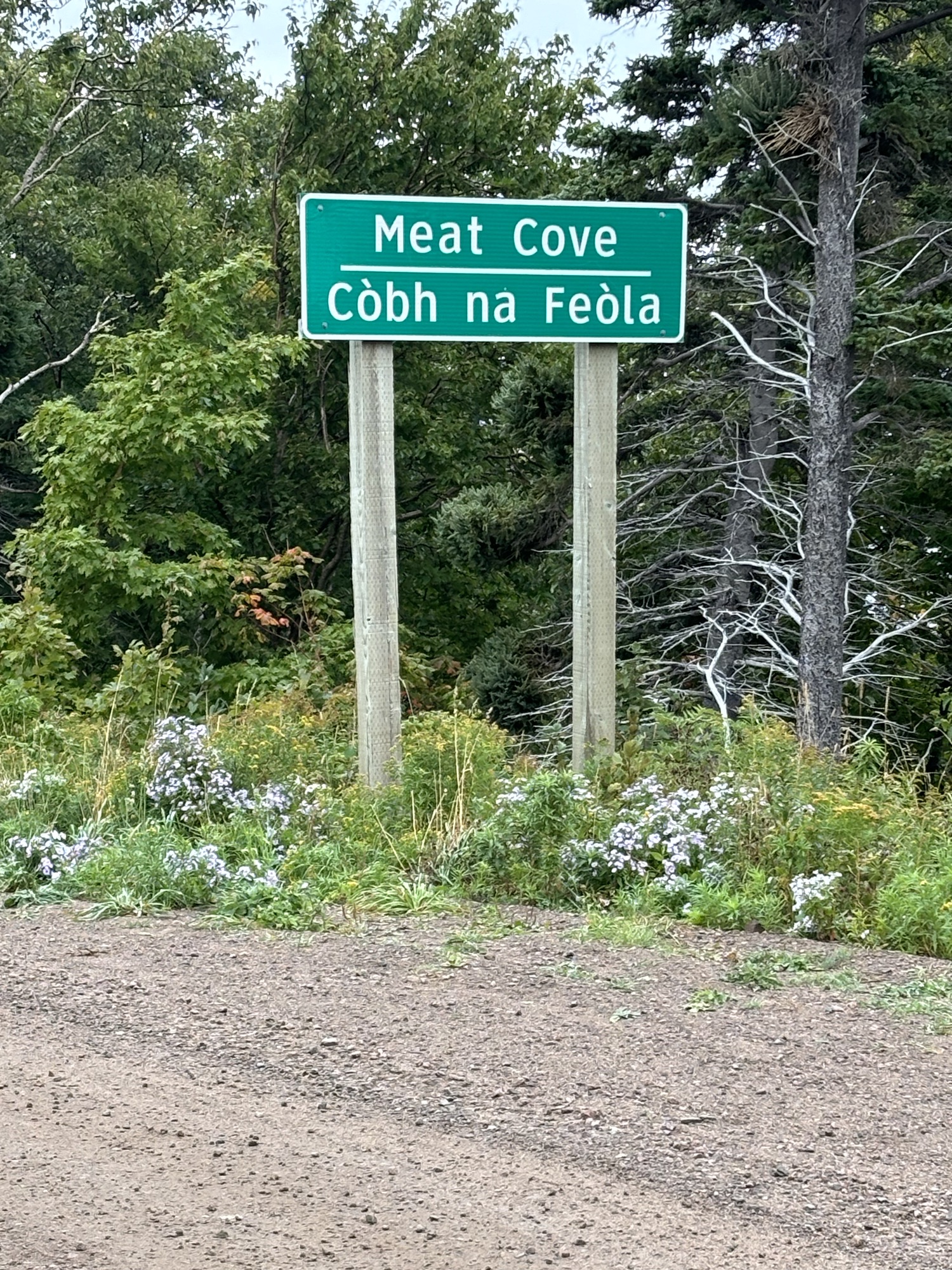
Our first adventure was to the northern tip of Cape Breton and Nova Scotia itself to a place named Meat Cove. The trip was only about 30 miles from the camp, but the last several miles were unpaved, and we were glad to have the Jeep. We used the 4-wheel drive even though we didn’t really need it in the end. There is an RV park at the end of the road, but I would not have even tried to take ours there!
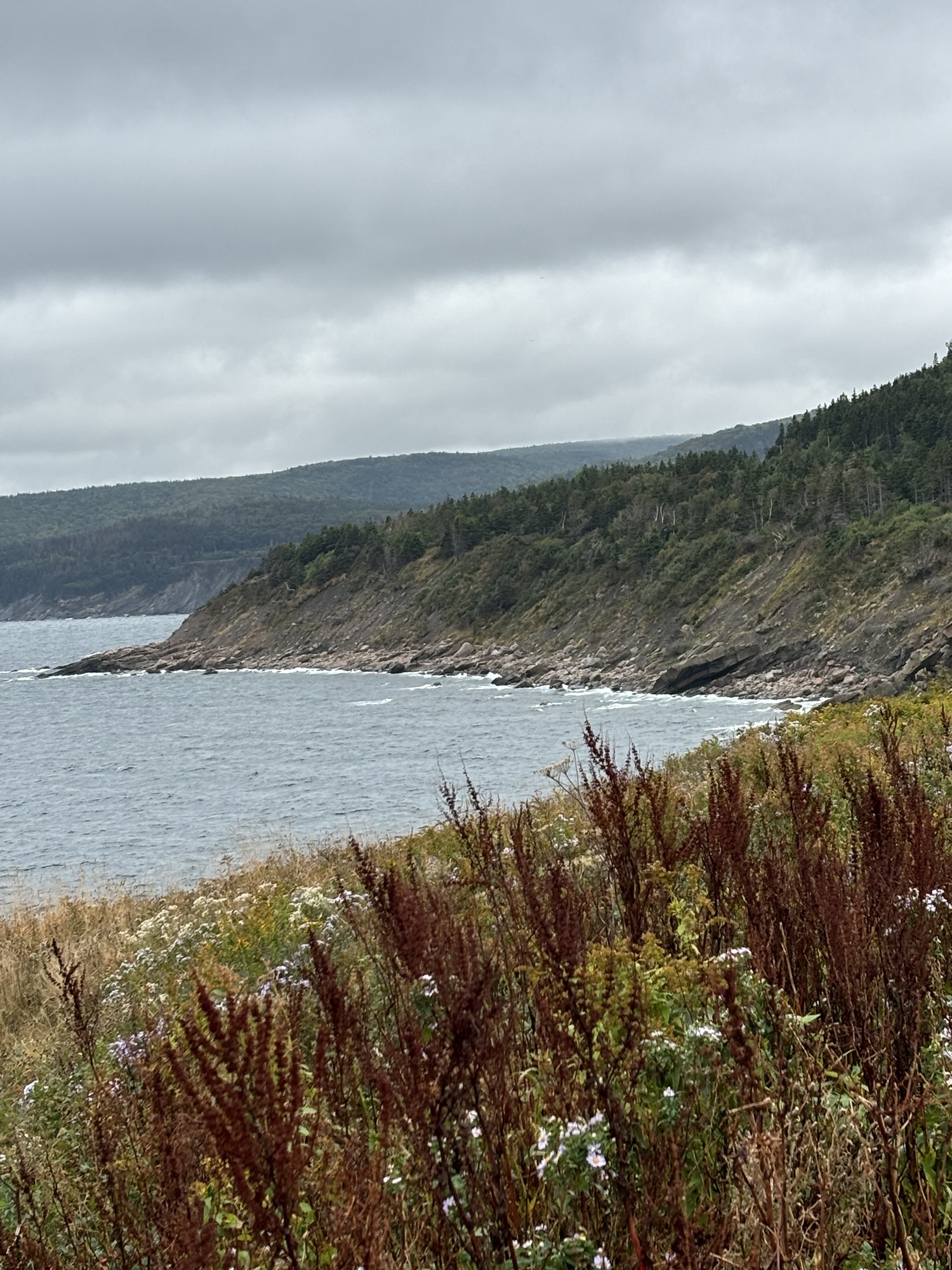
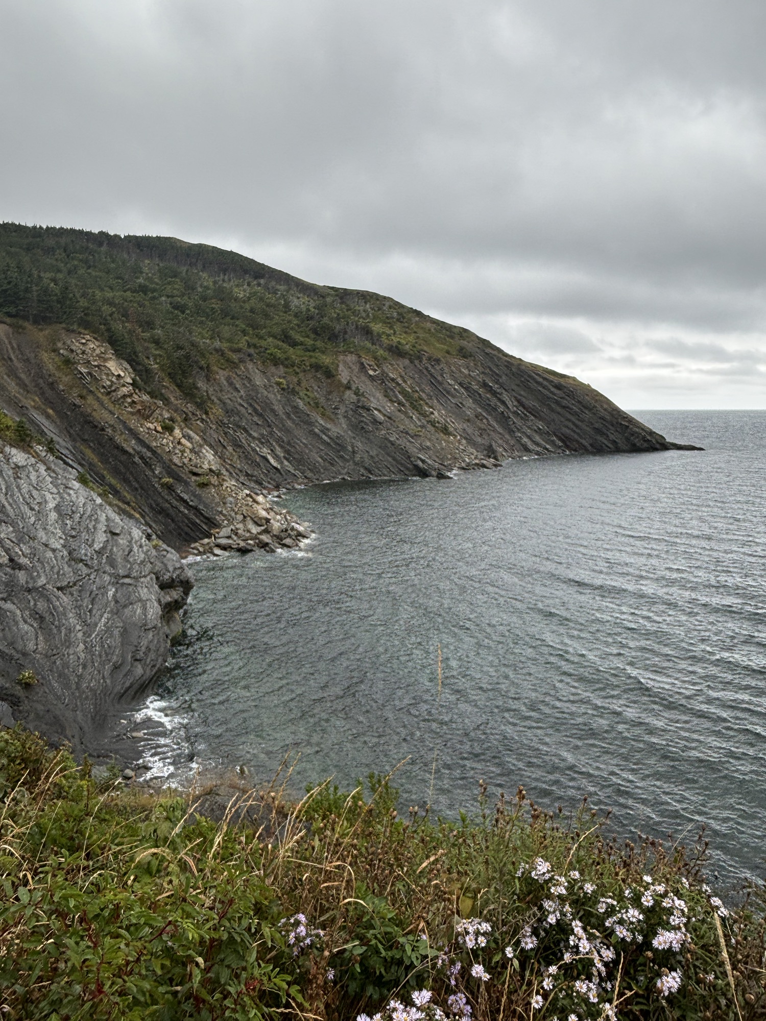
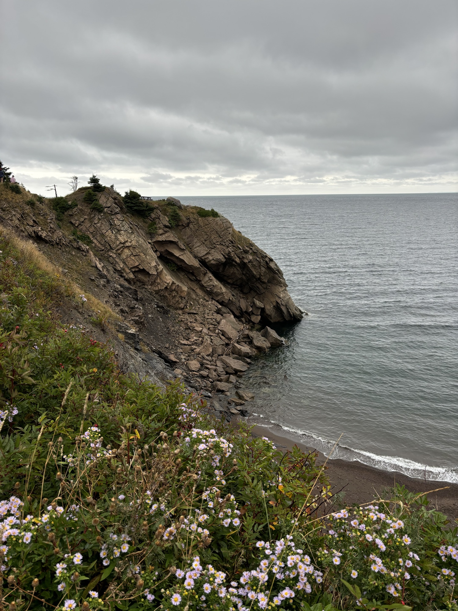
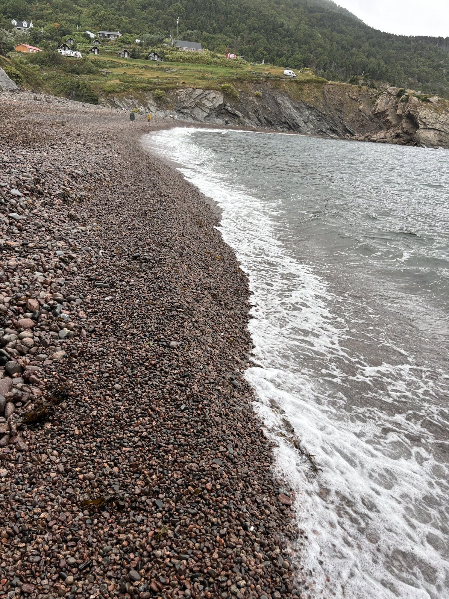
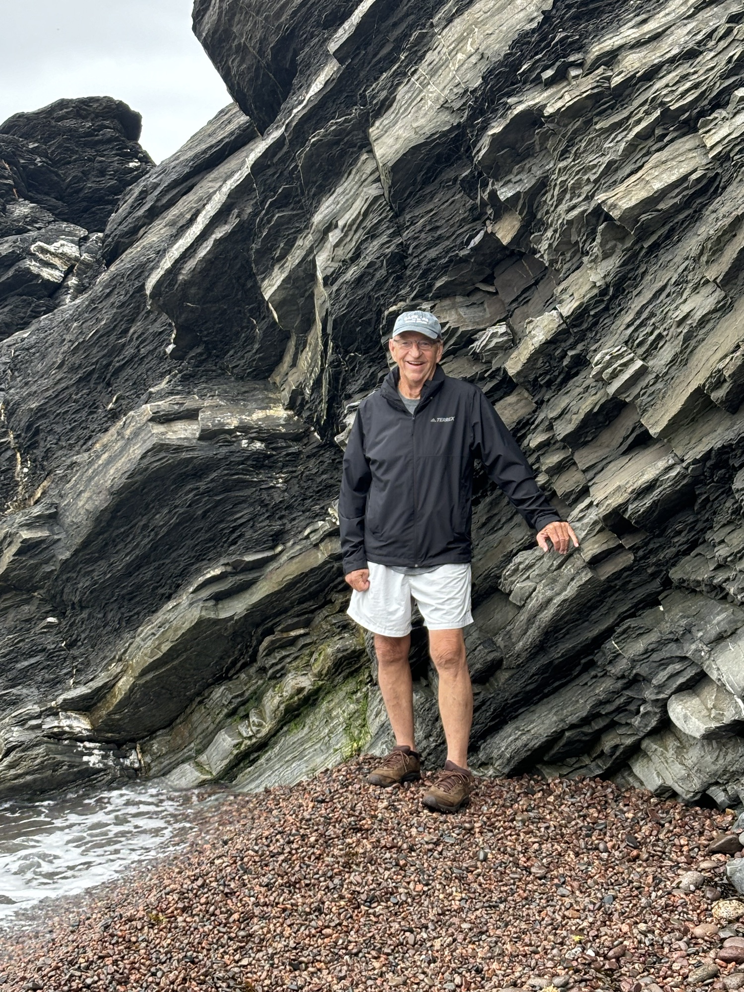
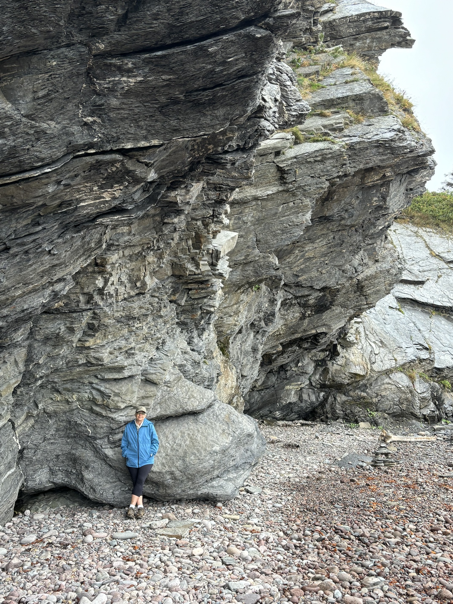
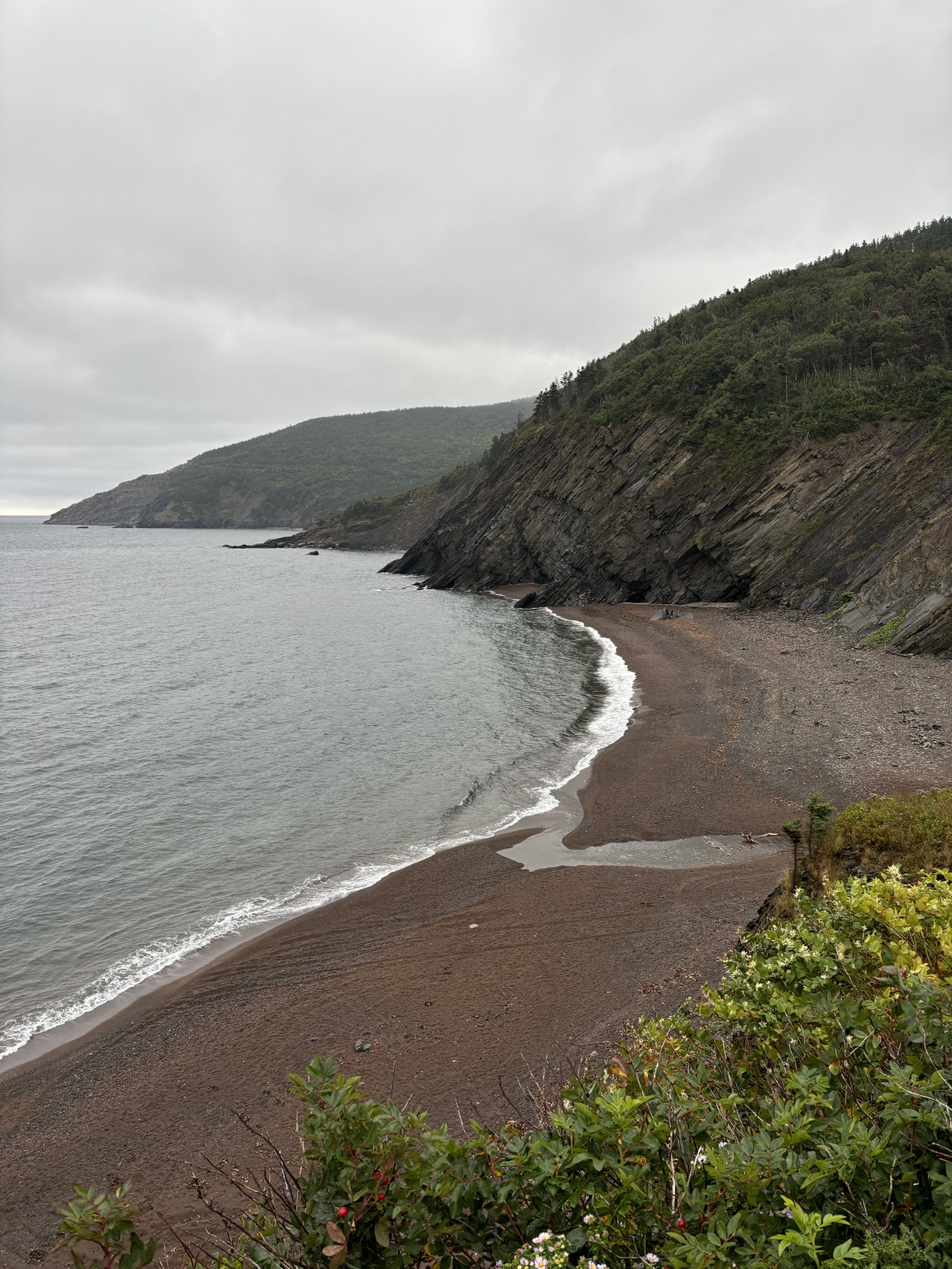
The view and the geography around the point are amazing. We spent time down at the beach and were surprised about the “singing” sound the waves made in the pebbles as the water rushed back out to the ocean. Pretty cool.
Also cool was the fact we saw our first moose out in the woods. It jumped out onto the road about 50 feet in front of us. Without antlers, we decided it was a female and she was big! It had been raining and road was slick. She made it to the other side and was preparing to climb the bank but slipped on the wet road, got her balance and disappeared! Unfortunately, it happened so fast, we did not get a picture, but so cool as well!
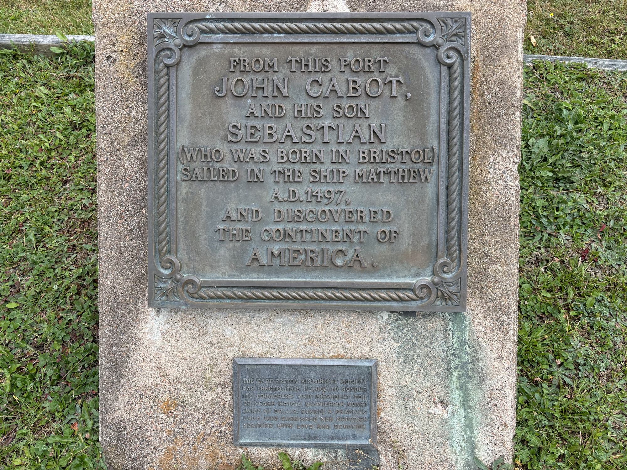
On the way back to Dingwall, we stopped at the John Cabot Landing Park. He is credited with discovering Nova Scotia and claiming the land for England. His actual name was Giovanni Cabota and he was from Genoa, but King George III had commissioned him to search for a way to Asia. He landed somewhere along the Cape Breton coast in 1497 and is credited with being the first to discover the continent of America. Didn’t remember that from school!
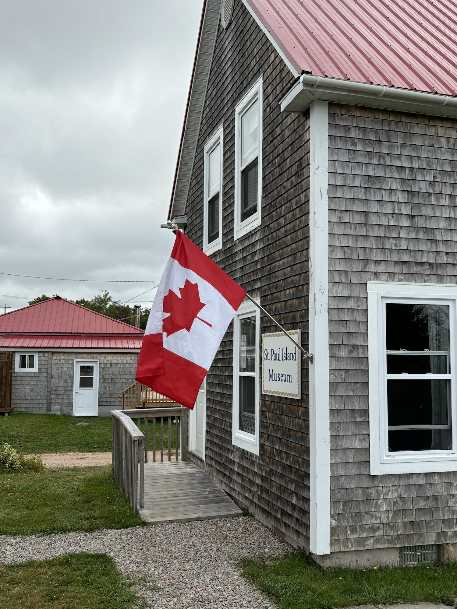
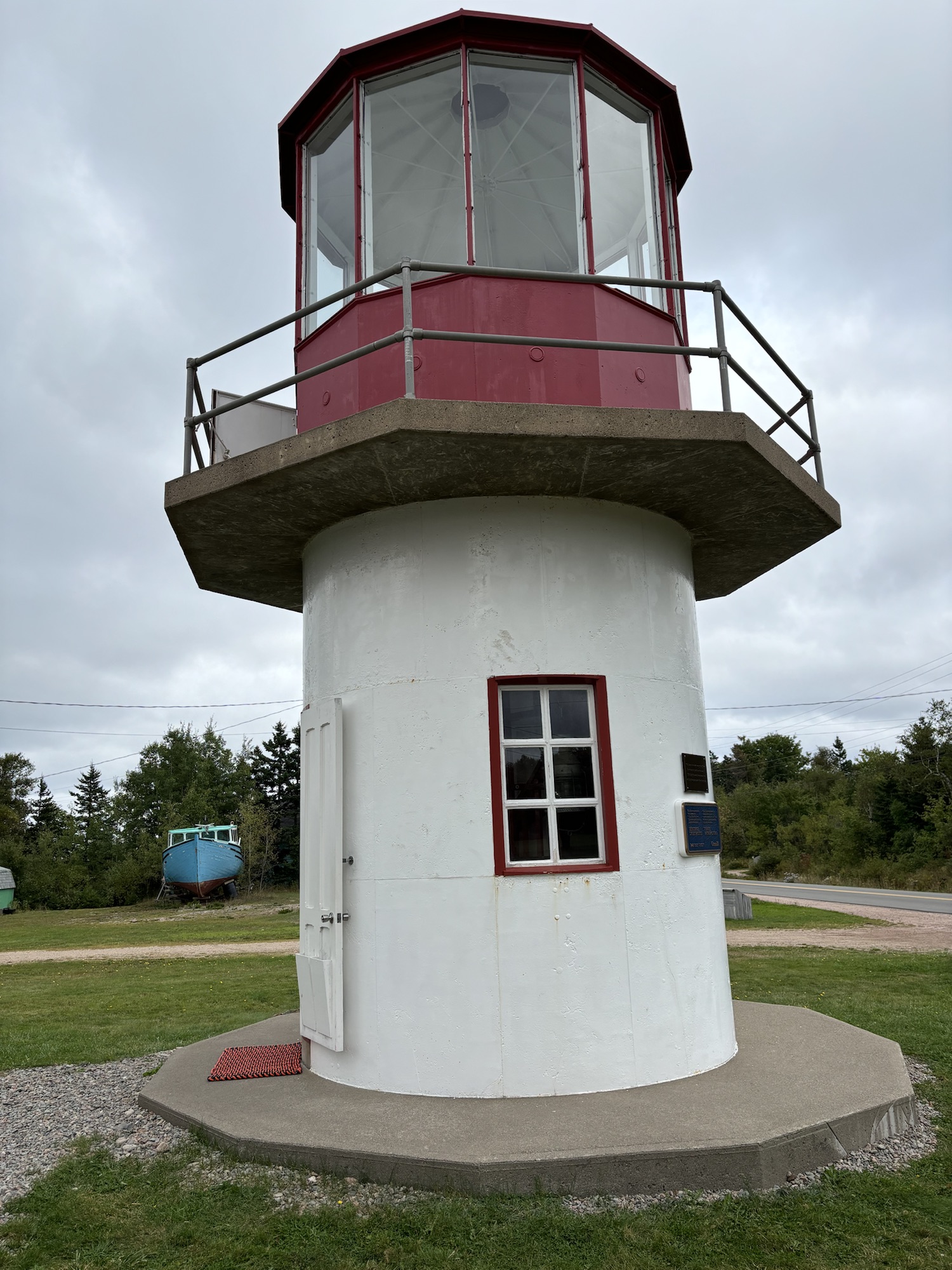
And finally, we went into Dingwall itself for a look around and found another (ready?) lighthouse. This was the St. Paul’s Island lighthouse that had been moved to Dingwall from the island (located offshore about halfway from Nova Scotia to Newfoundland) after it had been decommissioned.
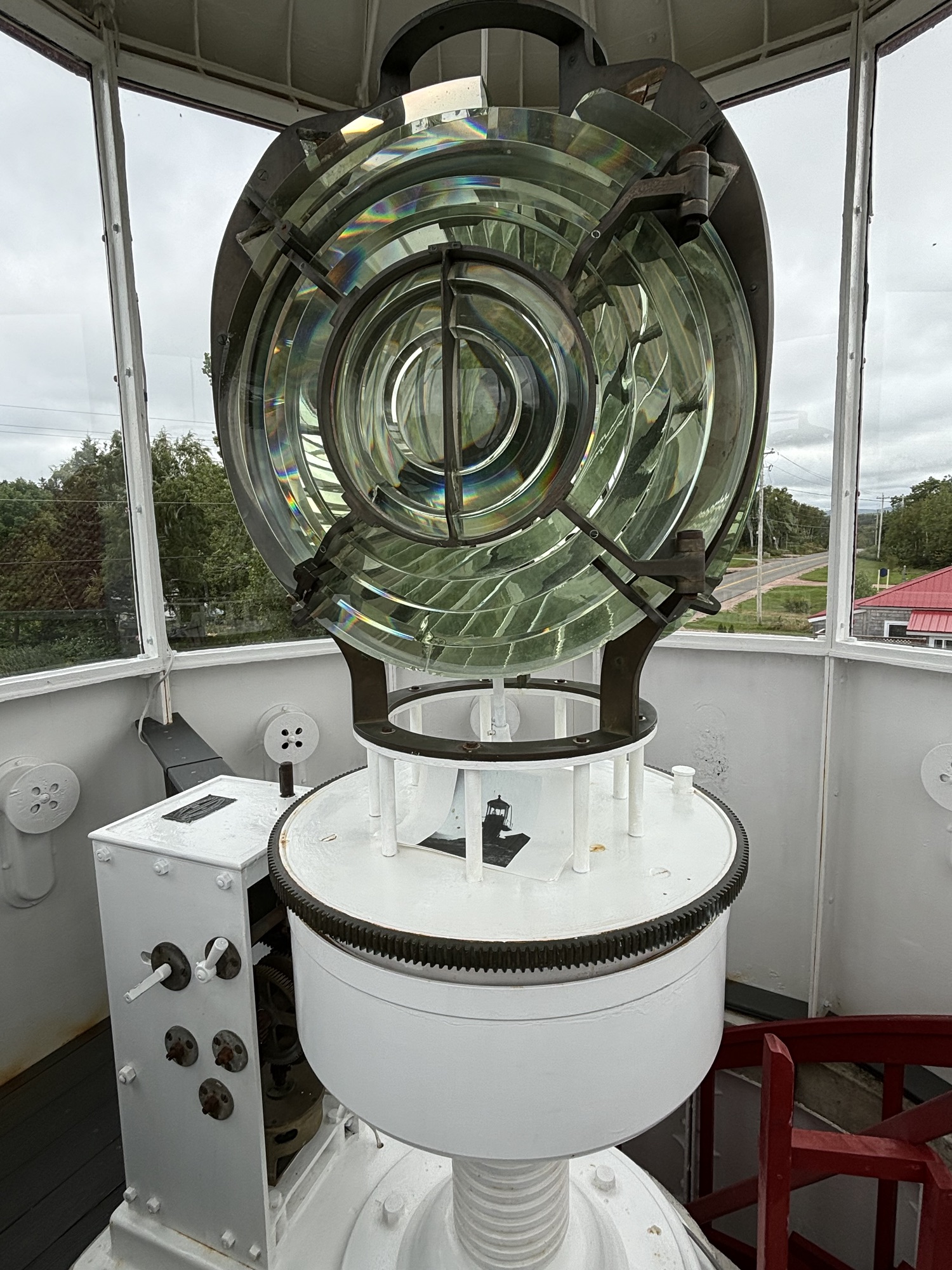
It was unique as it was the first cast iron framed lighthouse in Nova Scotia (other wood framed structures were subject to fires) and as we were told, the Fresnel light housing was floated in a bath of mercury. Interesting yes, but also considered why some lighthouse keepers were diagnosed with mental illnesses from both loneliness on the job and maybe exposure to the mercury.
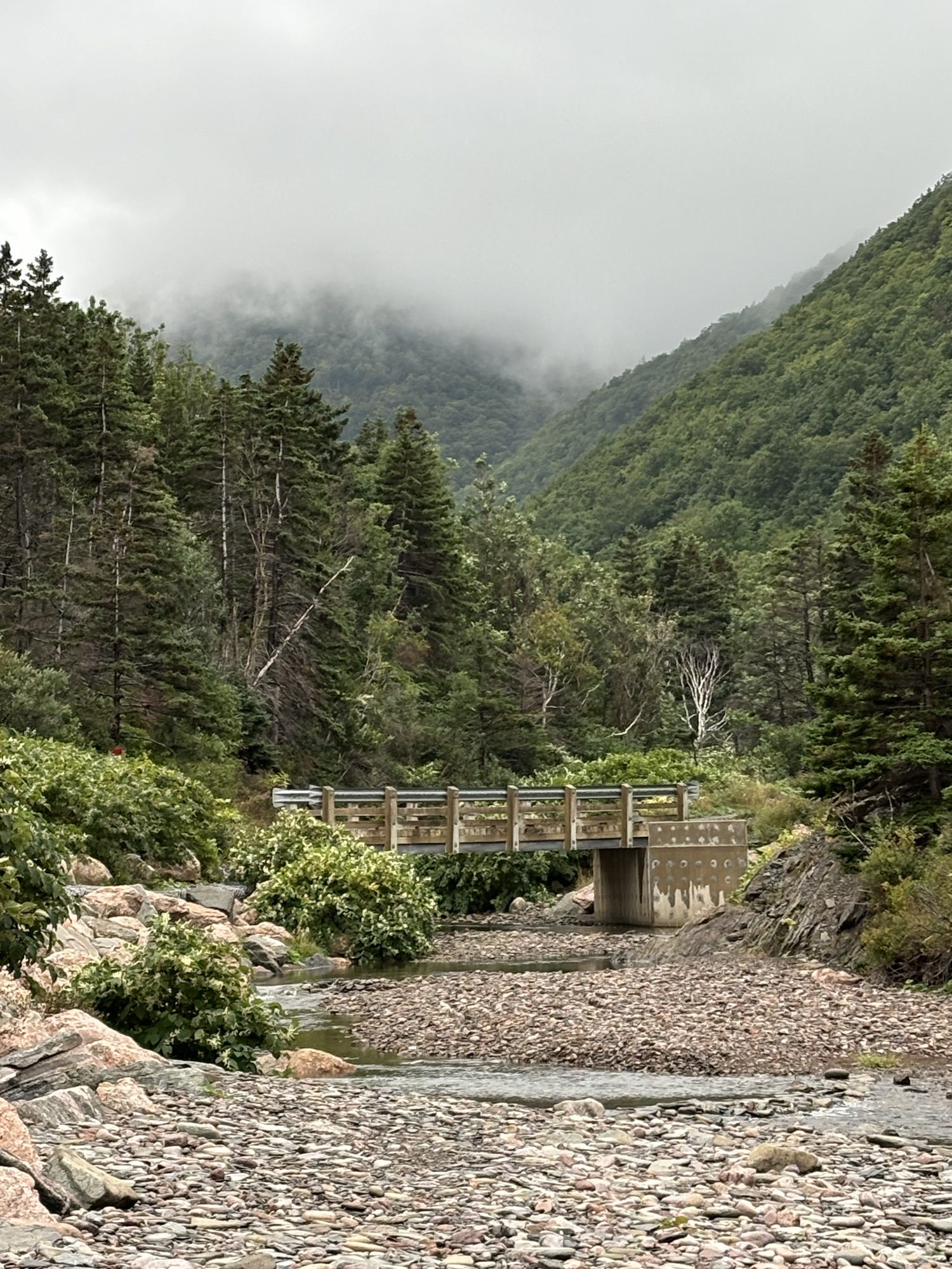
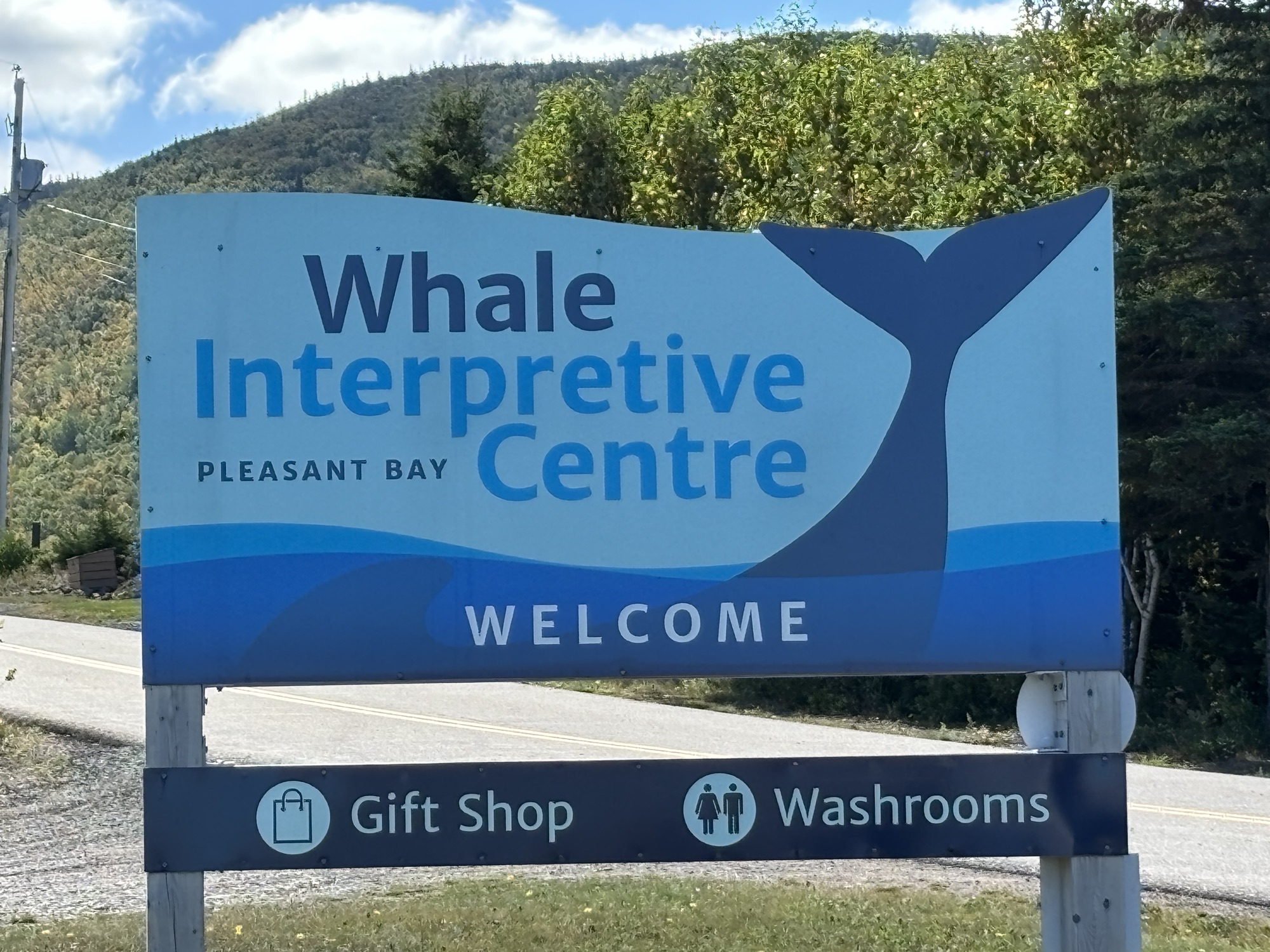
The next day we took the Jeep into the Park itself to do some hikes, see some waterfalls and visit the Whale Interpretative Center in Pleasant Bay. And to check to see if the roads were better than the other direction for the RV the next day. And in fact, once in the park proper, the roads were almost perfect! So that was the route for the RV even though it was the longer road.
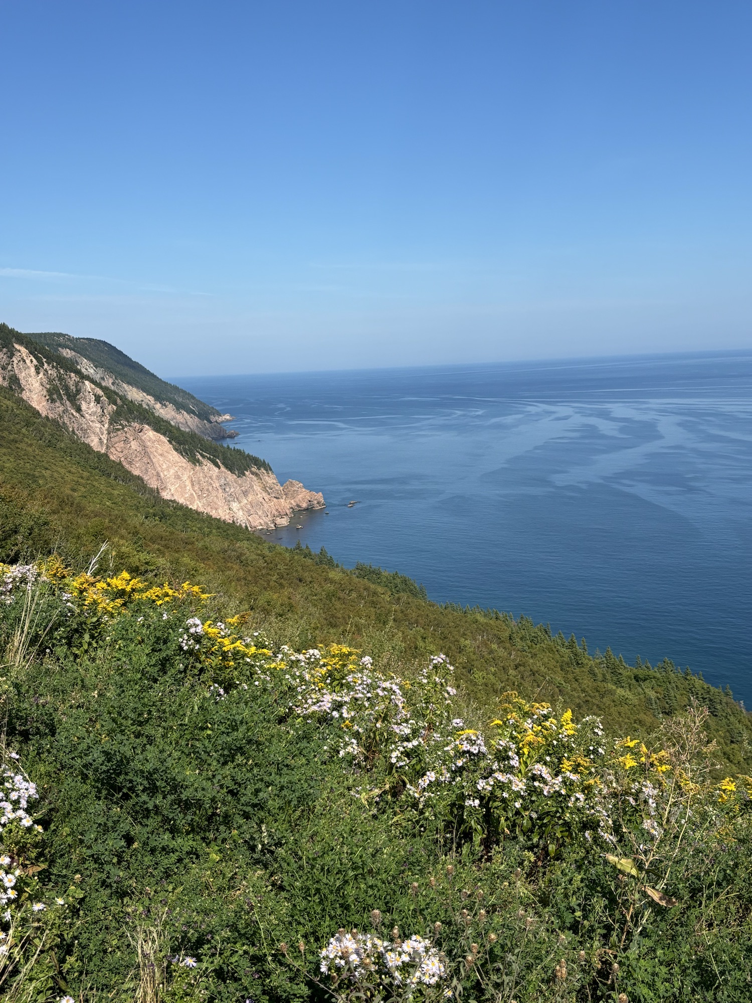
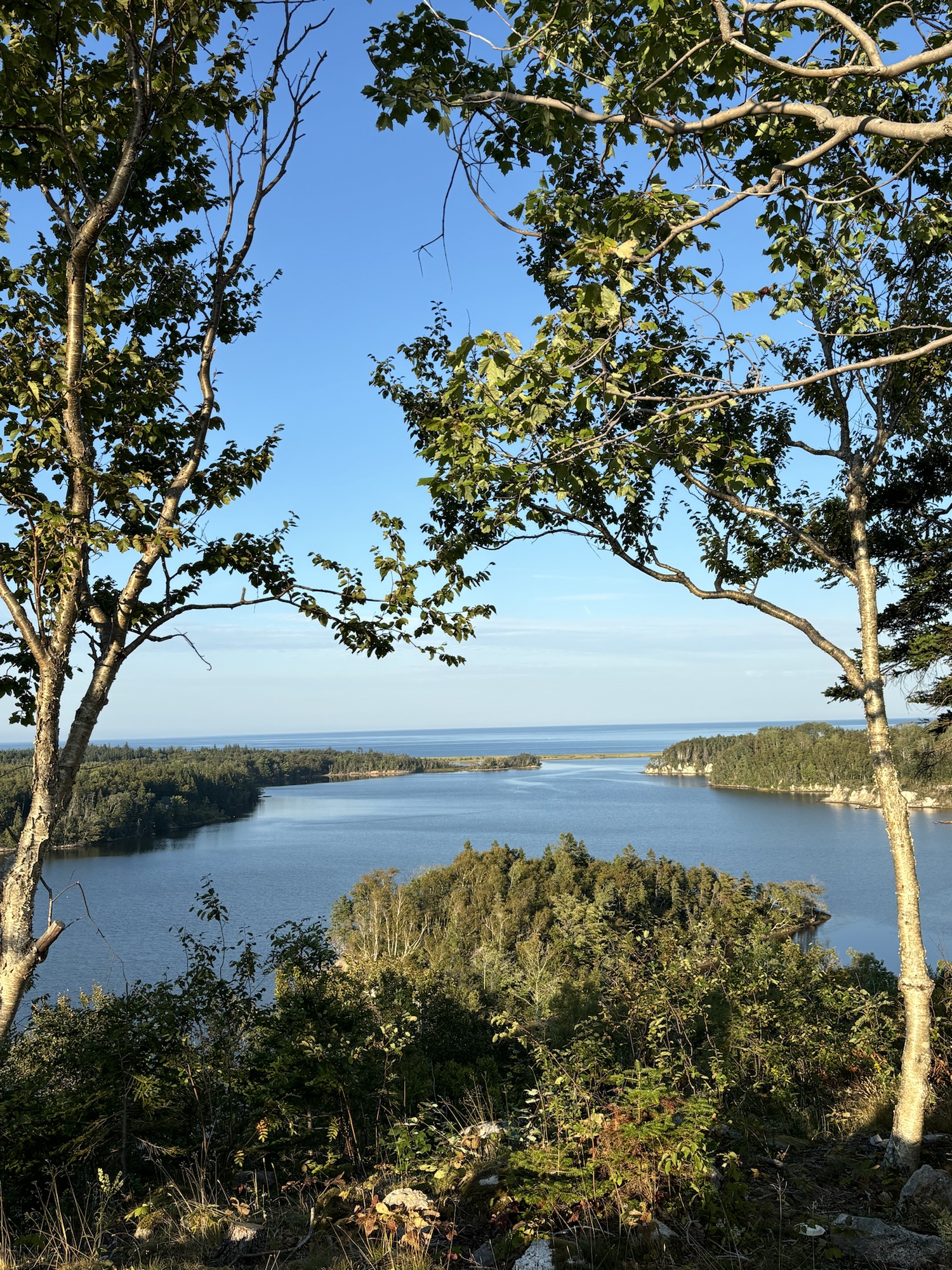
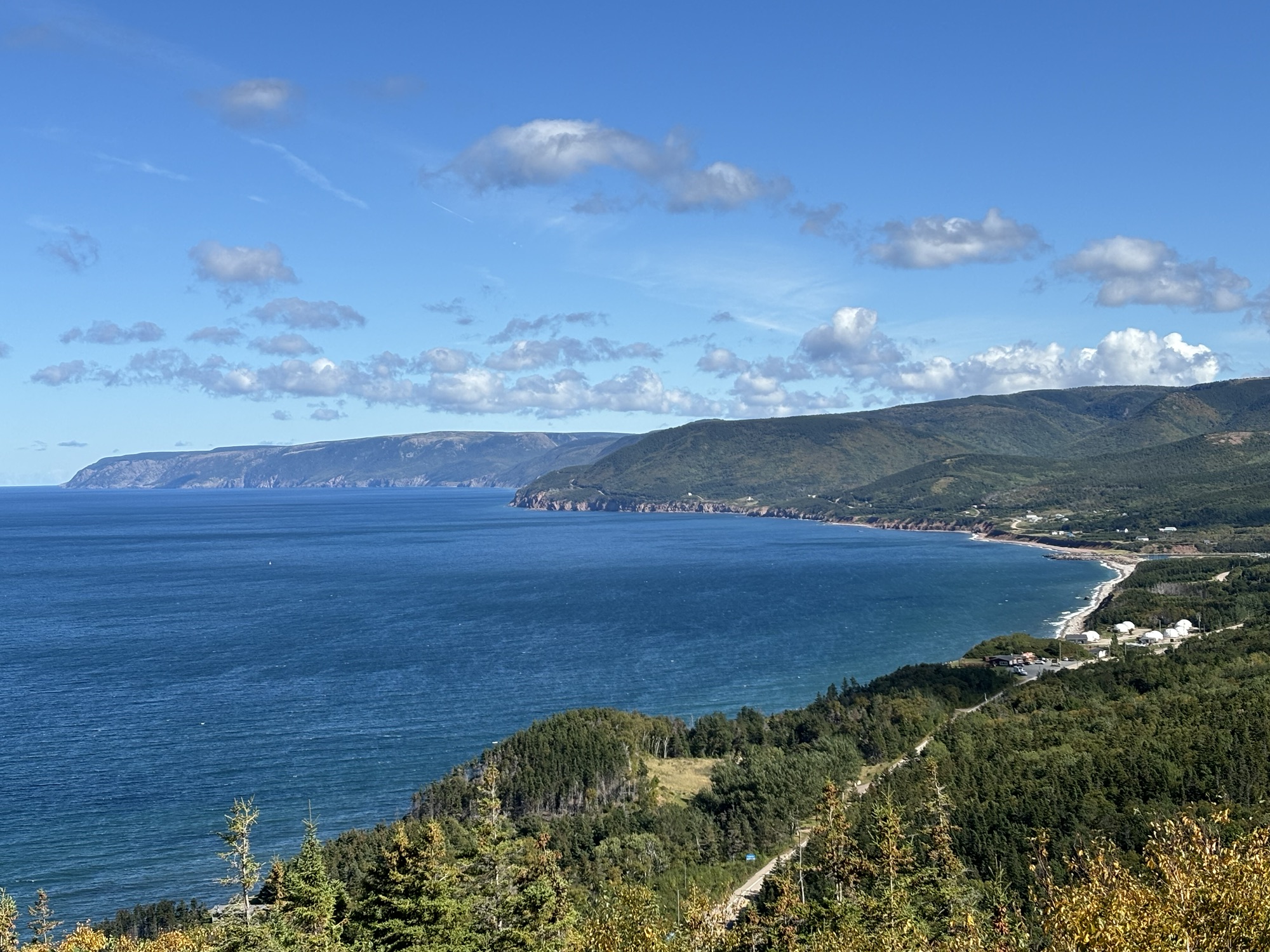
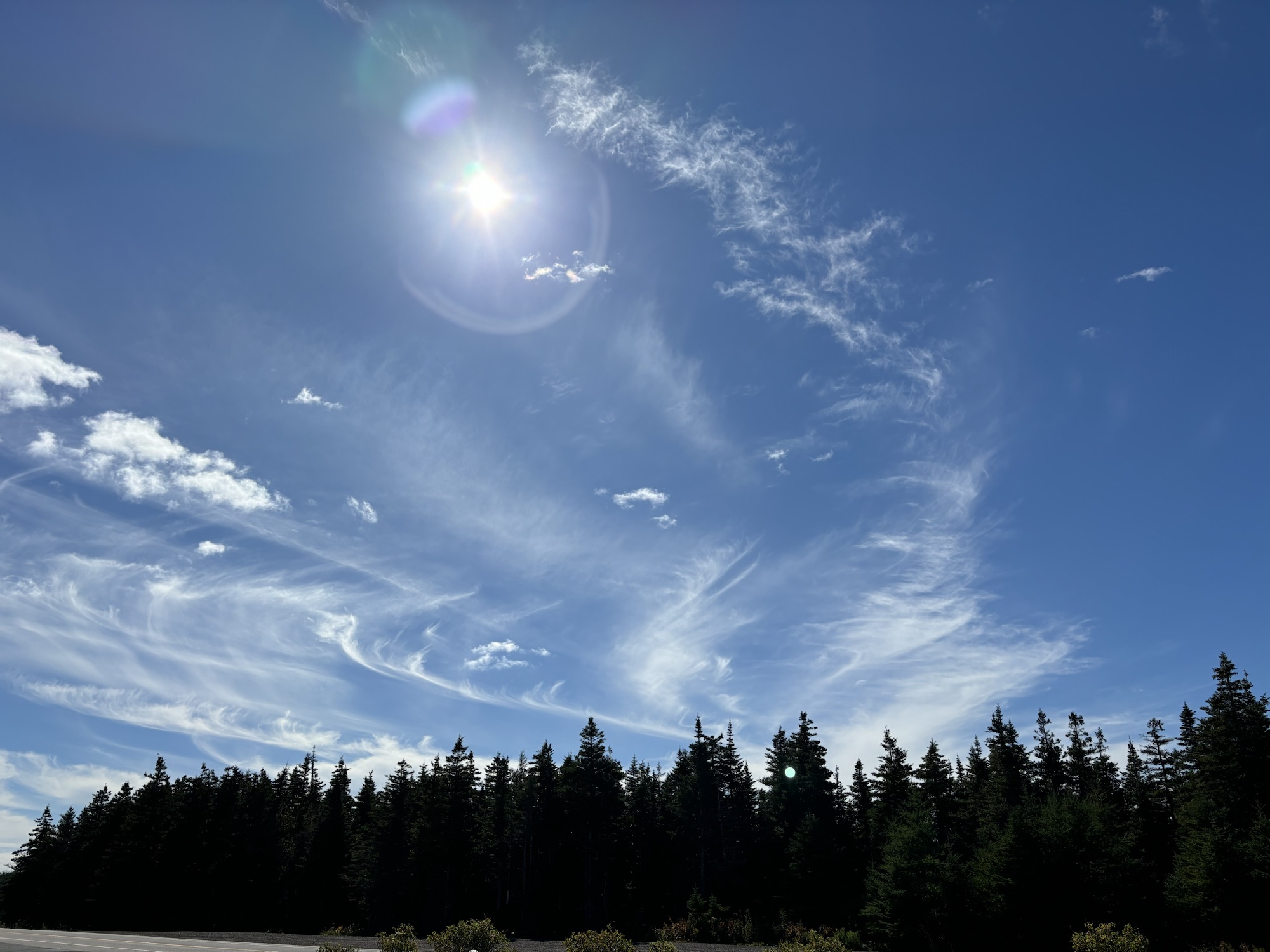
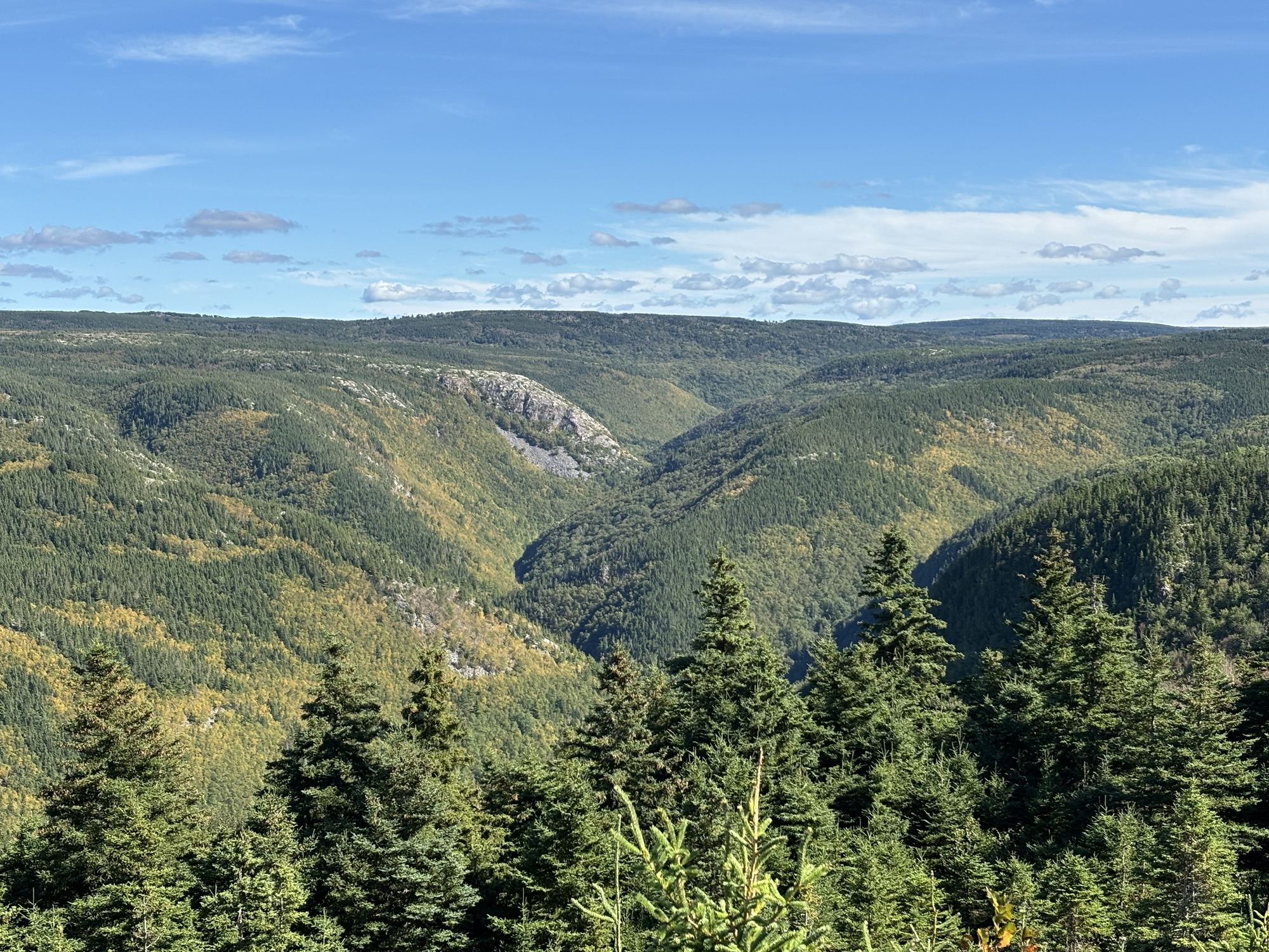
There were lots of steep hills and down slopes with tight switchbacks in the park going up to the plateau of MacKenzie Mountain at an elevation of about 1000 ft. Once up on the top, the road was smooth and the view down to the ocean was fantastic.
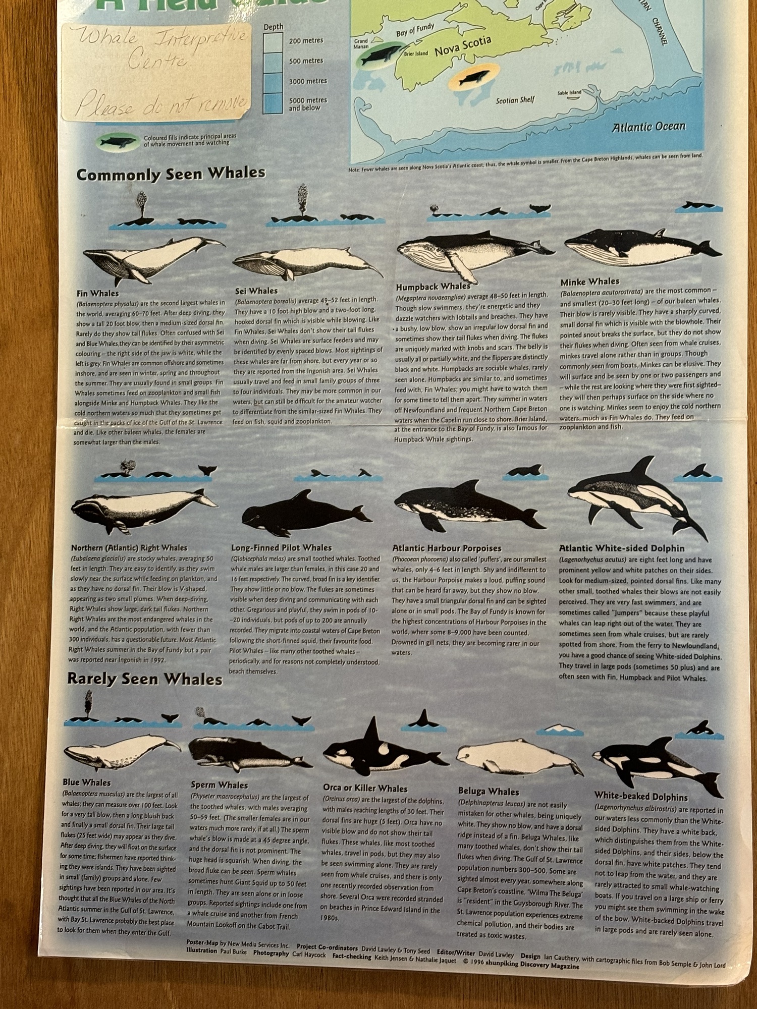
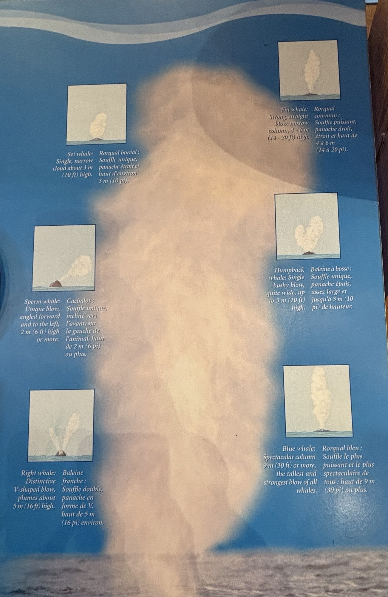
Our first stop was in Pleasant Bay at the Whale Interpretive Center. It is very common to see whales pass the area close to shore. The center gave a description of the different types and their identification especially the differences between the spray when they come to the surface to exhale. We also took time to watch a video about the history of whaling and the environmental effects of the current ocean conditions. It was very nice, informative, and worth the stop.
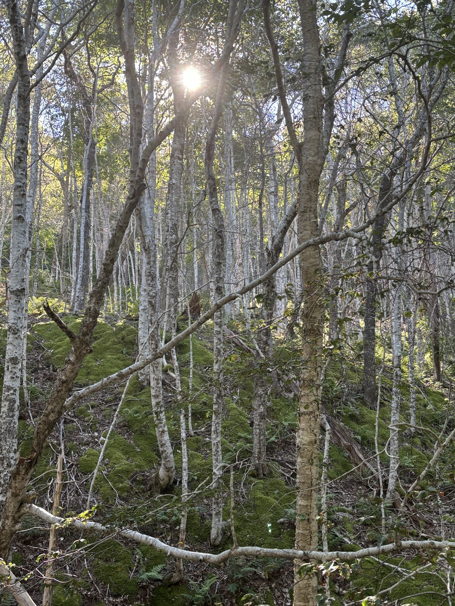
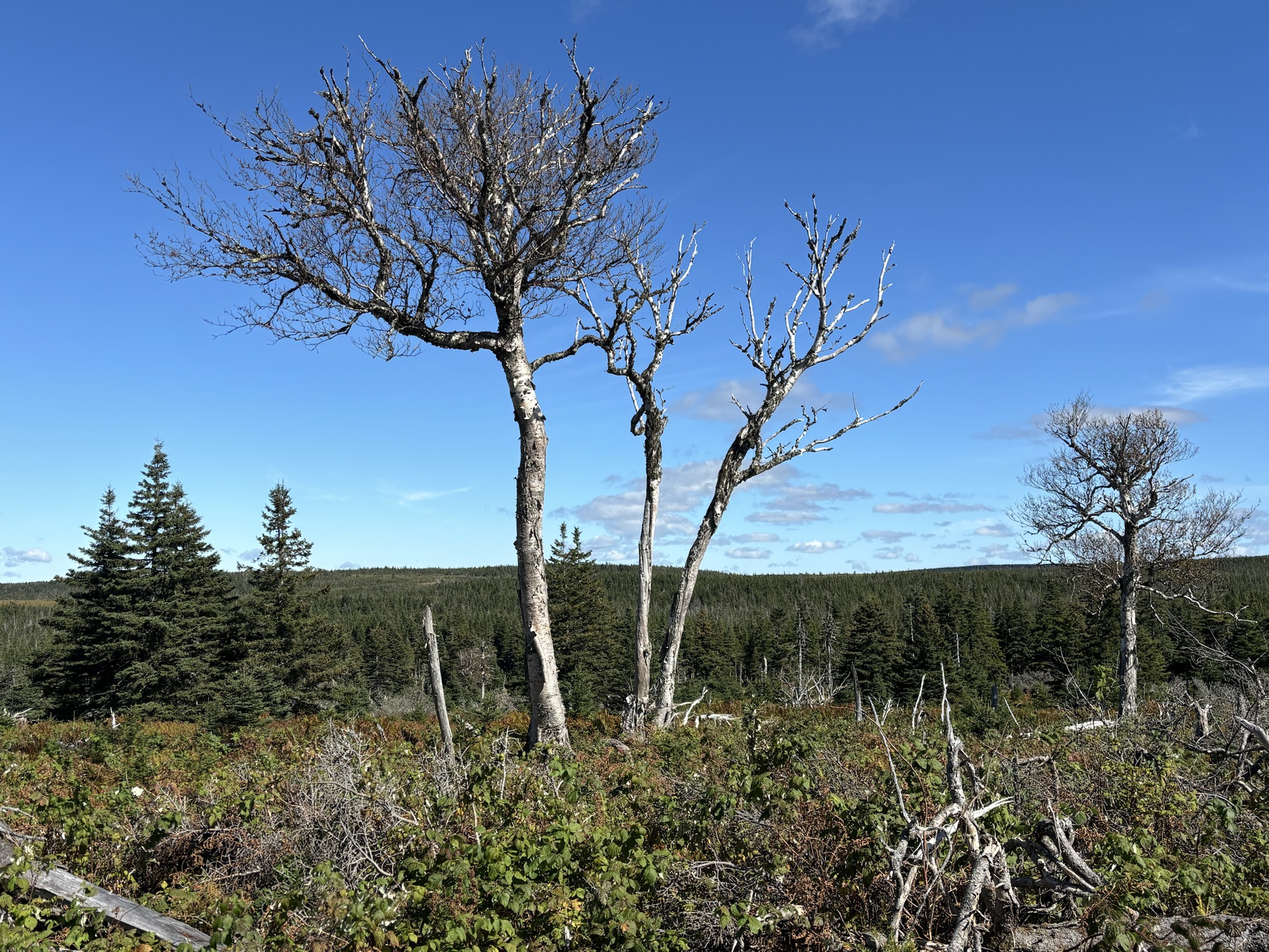
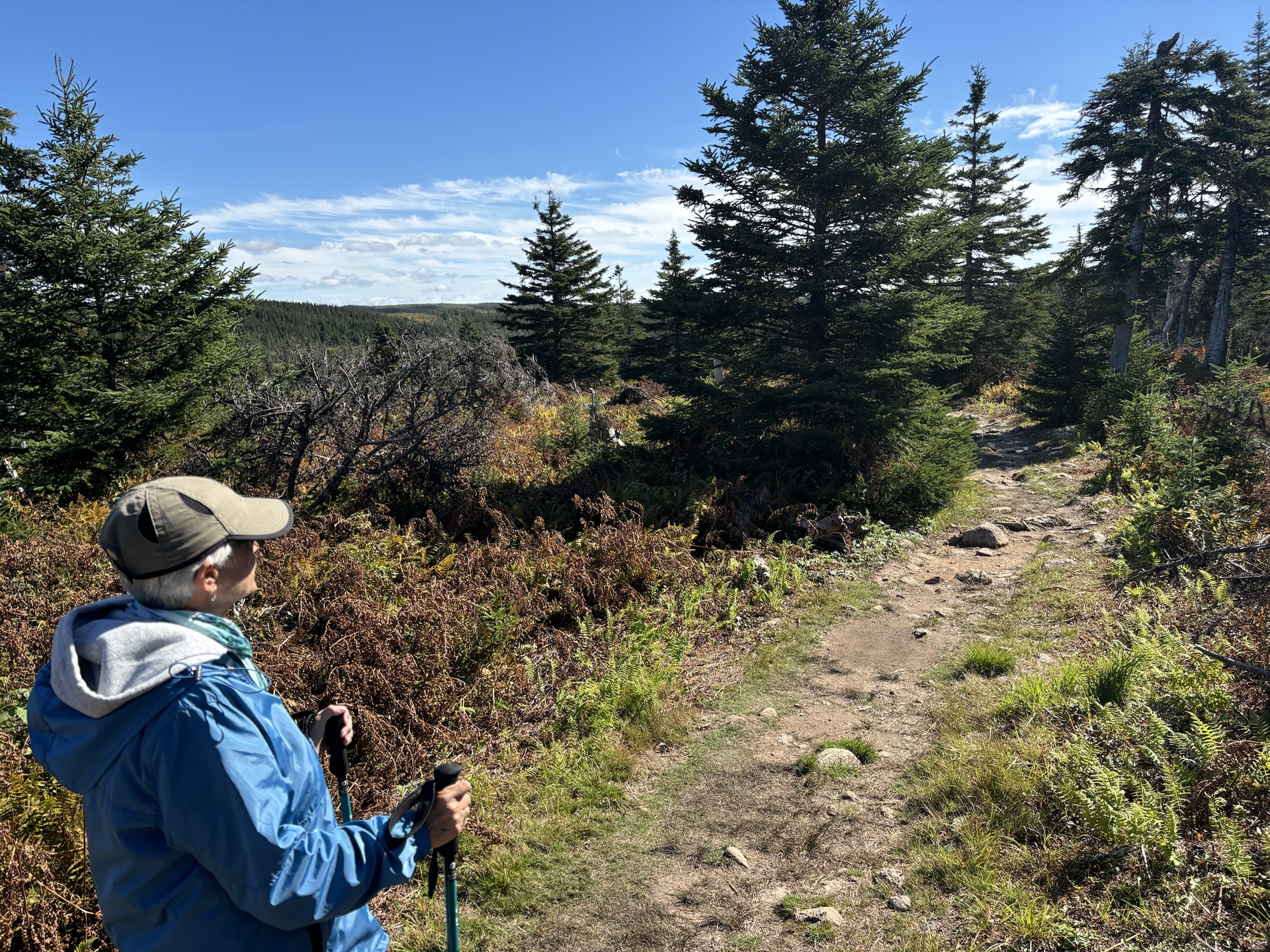
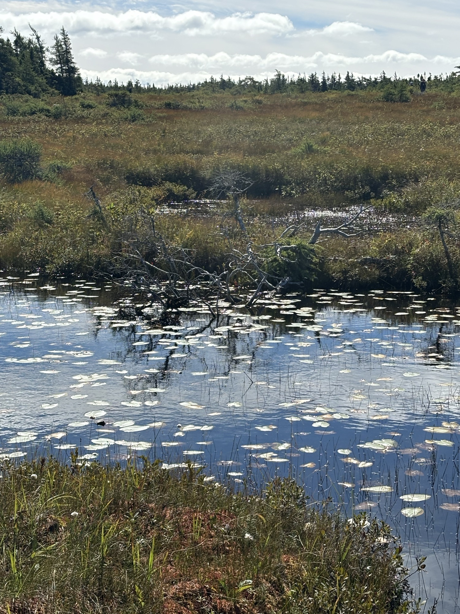
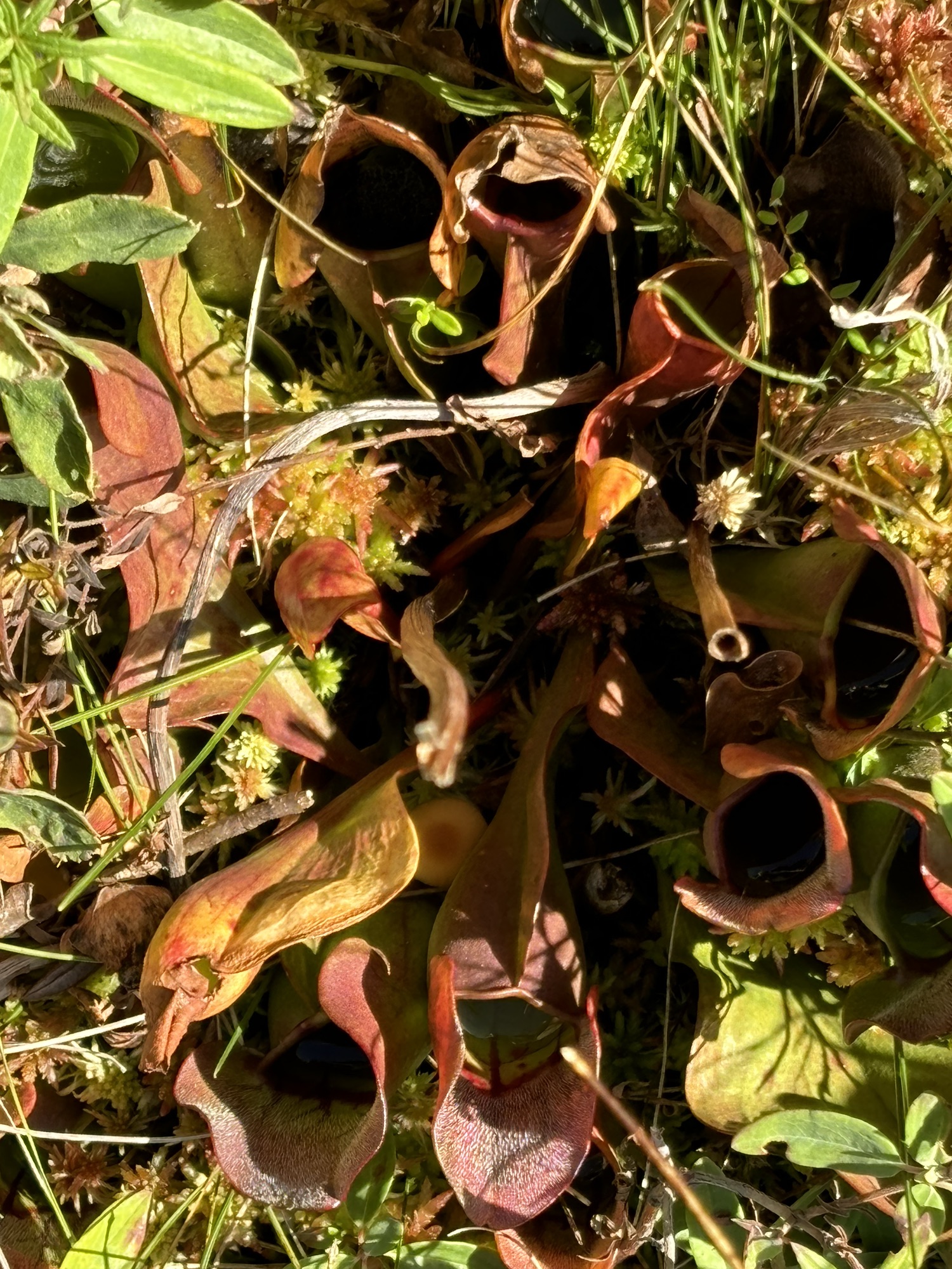
There were many hiking/walking trails in the park as well and we selected 4 to go exploring. The first was very short (easy to select this one!) and circled around a wetland bog with explanations of the flora and fauna that tend to grow around the water at that altitude. Being late in the season, there was not a lot of flowering but there was sphagnum moss, some orchids, and 2 types of insect eating plants! Also advertised was the possibility of seeing moose in the area but not that day for us.
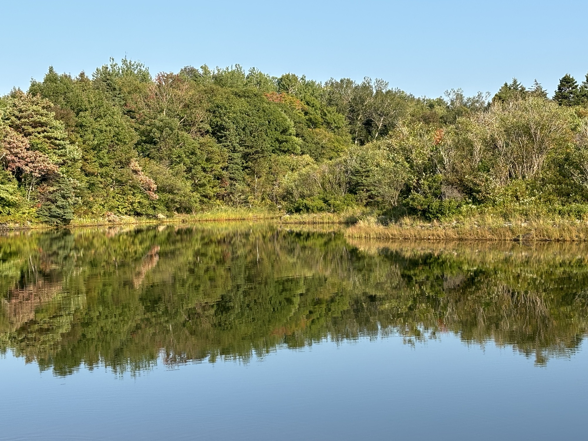
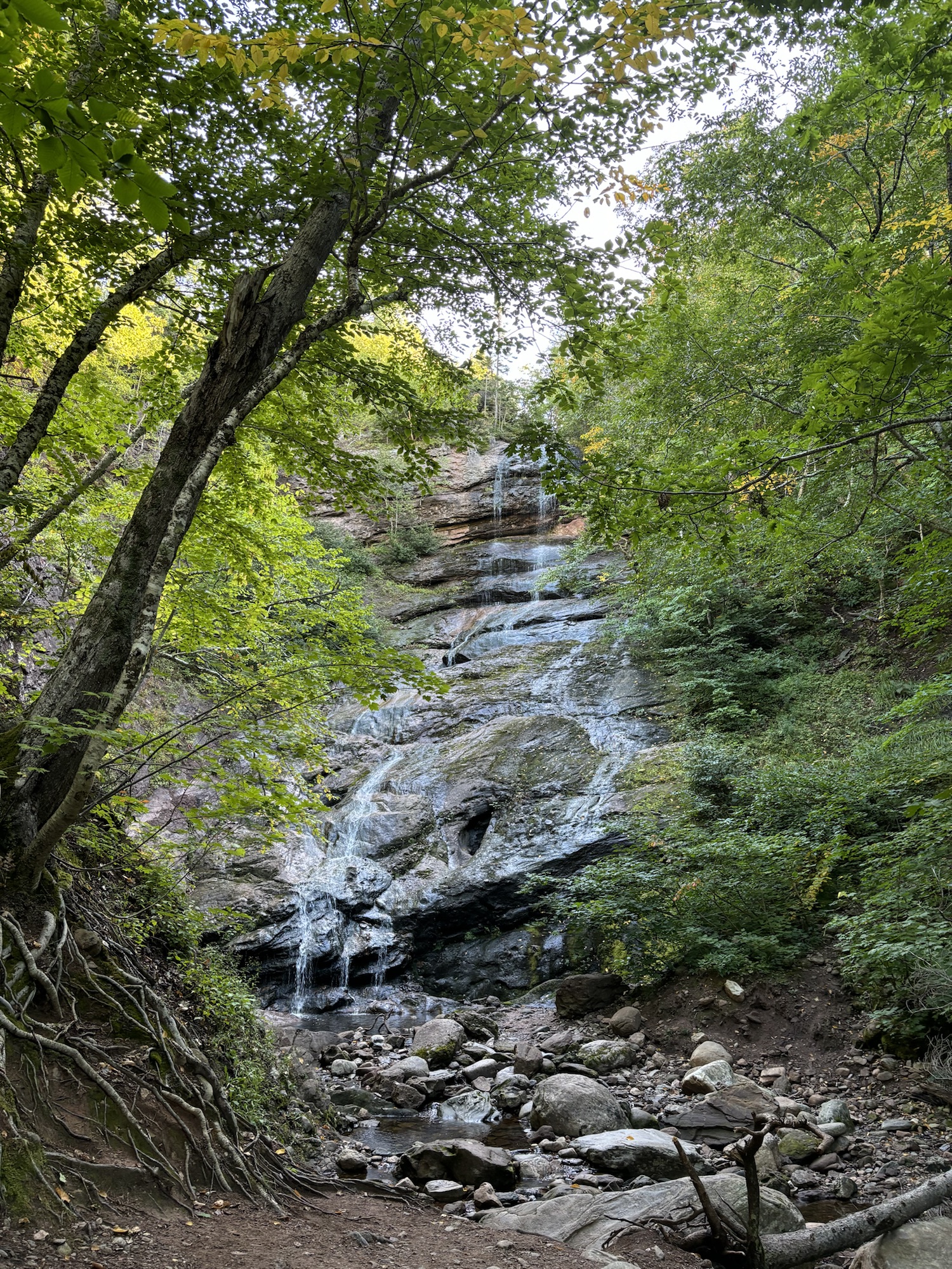
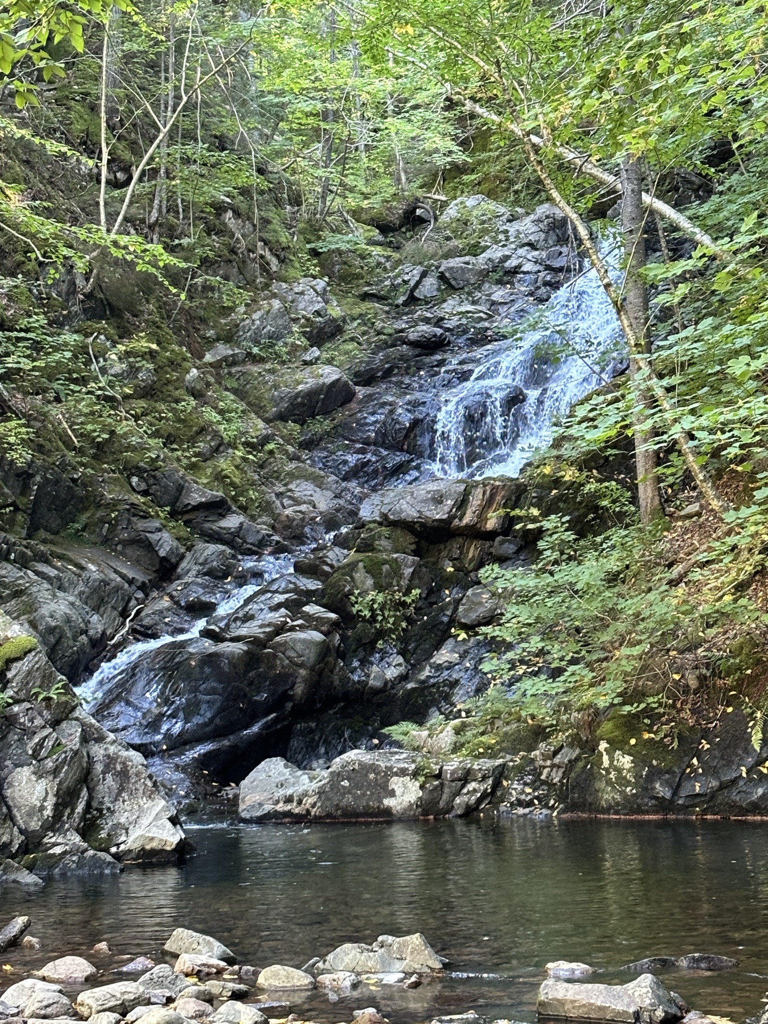
Two of the other walks were to waterfalls with one actually a drive up and the other a nice walk through some old-grown maple trees. And finally, a longer walk through the woods to a nice lake.

We headed back to the park and got ready to head to Newfoundland. The last leg of the adventure for this year. We are very excited to make the crossing and explore. Follow along with the next posting.
