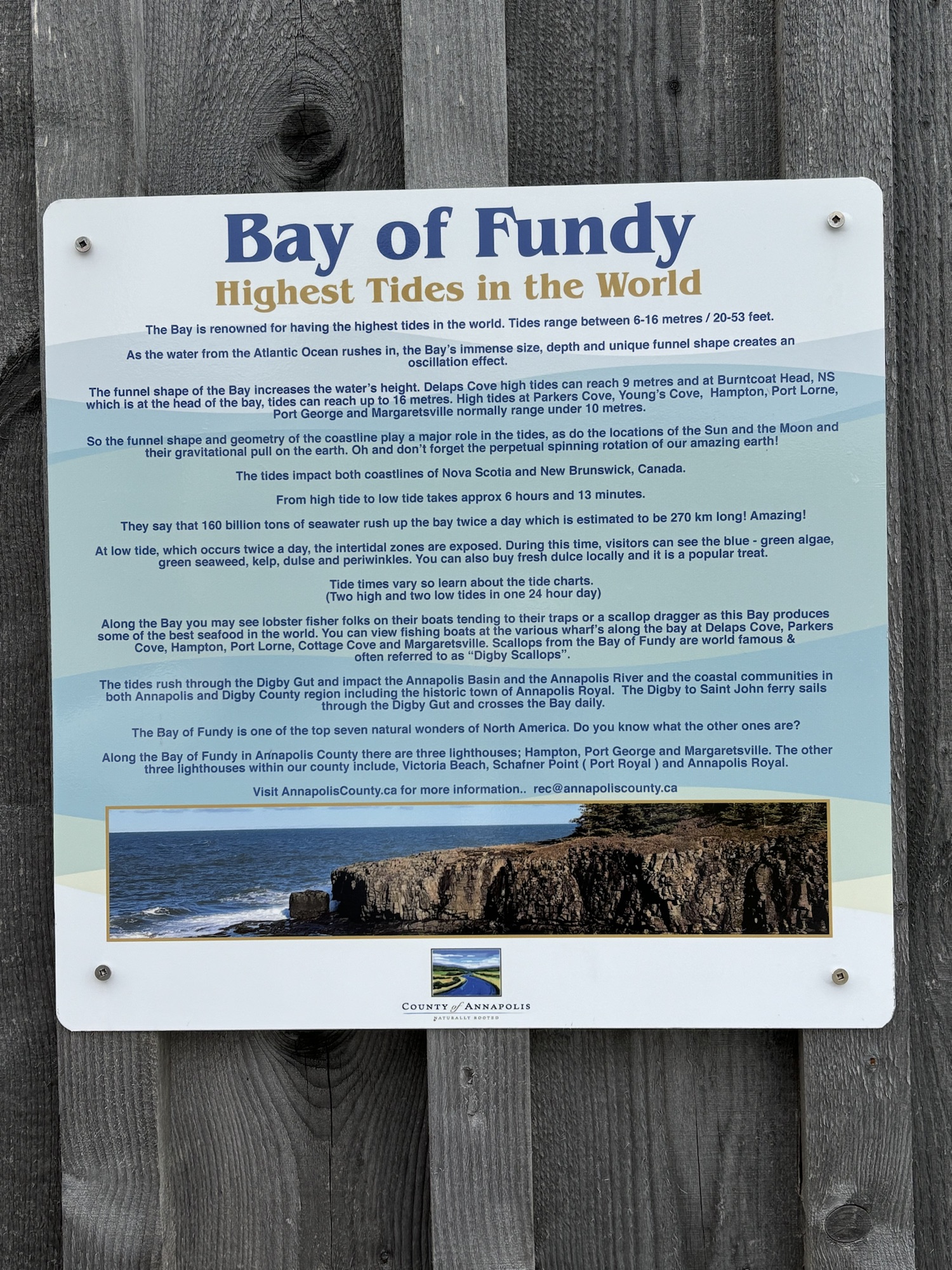
After the fun in the Bay of Fundy, we settled into a day-by-day trip down the northern coast toward Yarmouth and then up the other side to Halifax. We broke the 470 miles into 5 legs. We picked the stops more for ease and spacing than what to see. But we ended up seeing a lot more interesting and famous places than we had anticipated.
Our first stop from Maitland was just down the coast and on the the Bay of Funday itself. We stopped for the night in a small town called Wilmot and a park called Jeff’s Hideaway. The first thing on the agenda was laundry. After the tidal rafting, there were a few things that really needed washing.
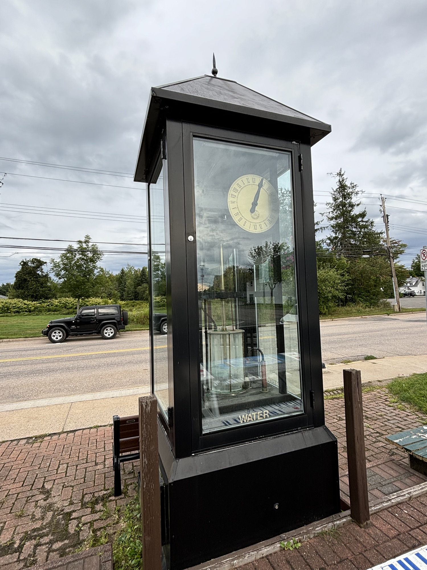
Then, while searching nearby for interesting stops, we found a reference to a water clock located in the next town of Middleton. Historically, the water clock concept went back to about 1400 BC by the Babylonians to replace the sundial. And it was used in many countries of Asia and Europe until the mechanical clocks were developed in the 14th century. And there are only 3 known water clocks on display in North America now, and one is in downtown Middleton. So, we went to check it out. We found the clock, but it had not been well maintained and was not working. However, we could see the basic principle of operation and it was still interesting to see.
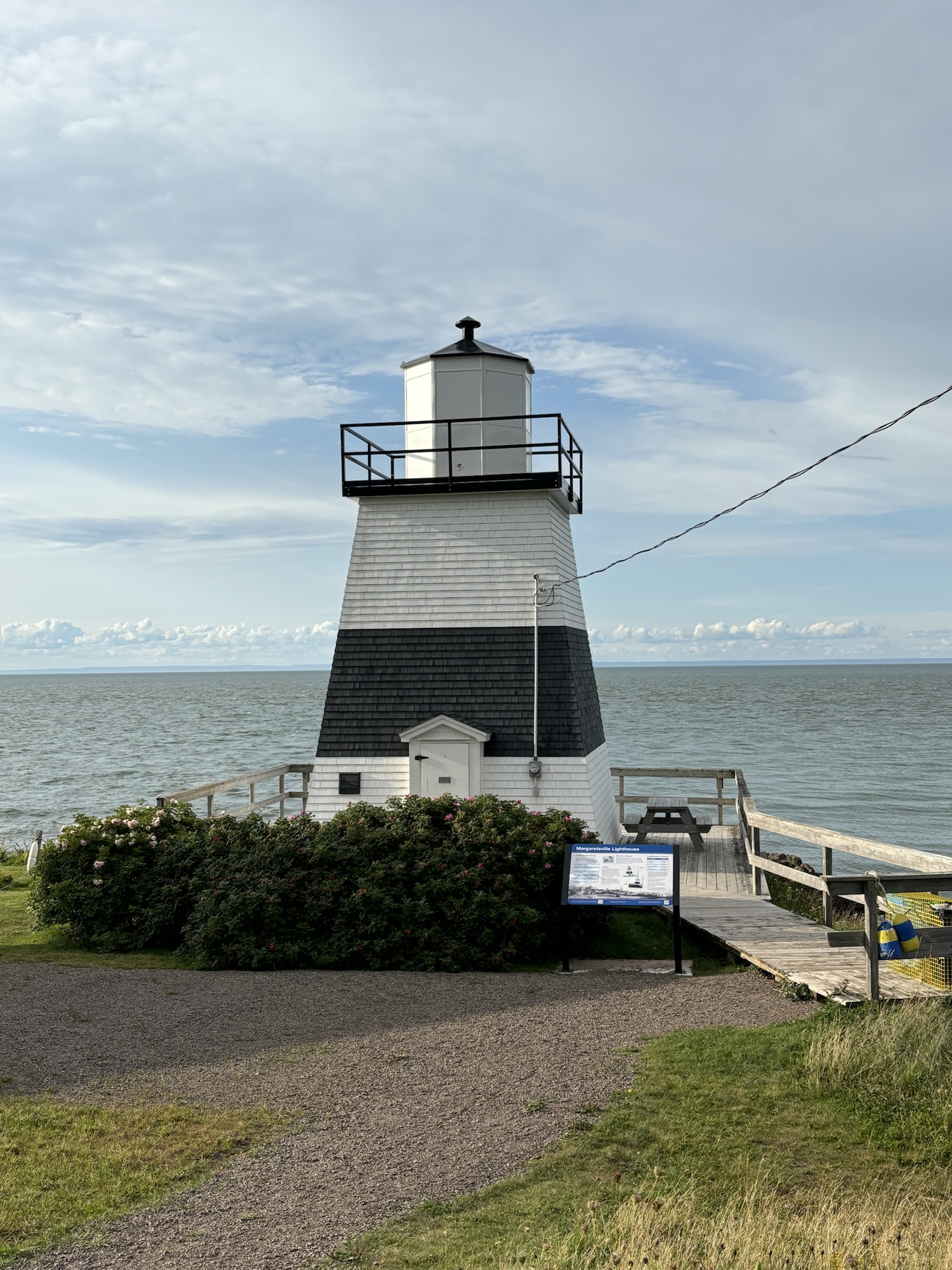
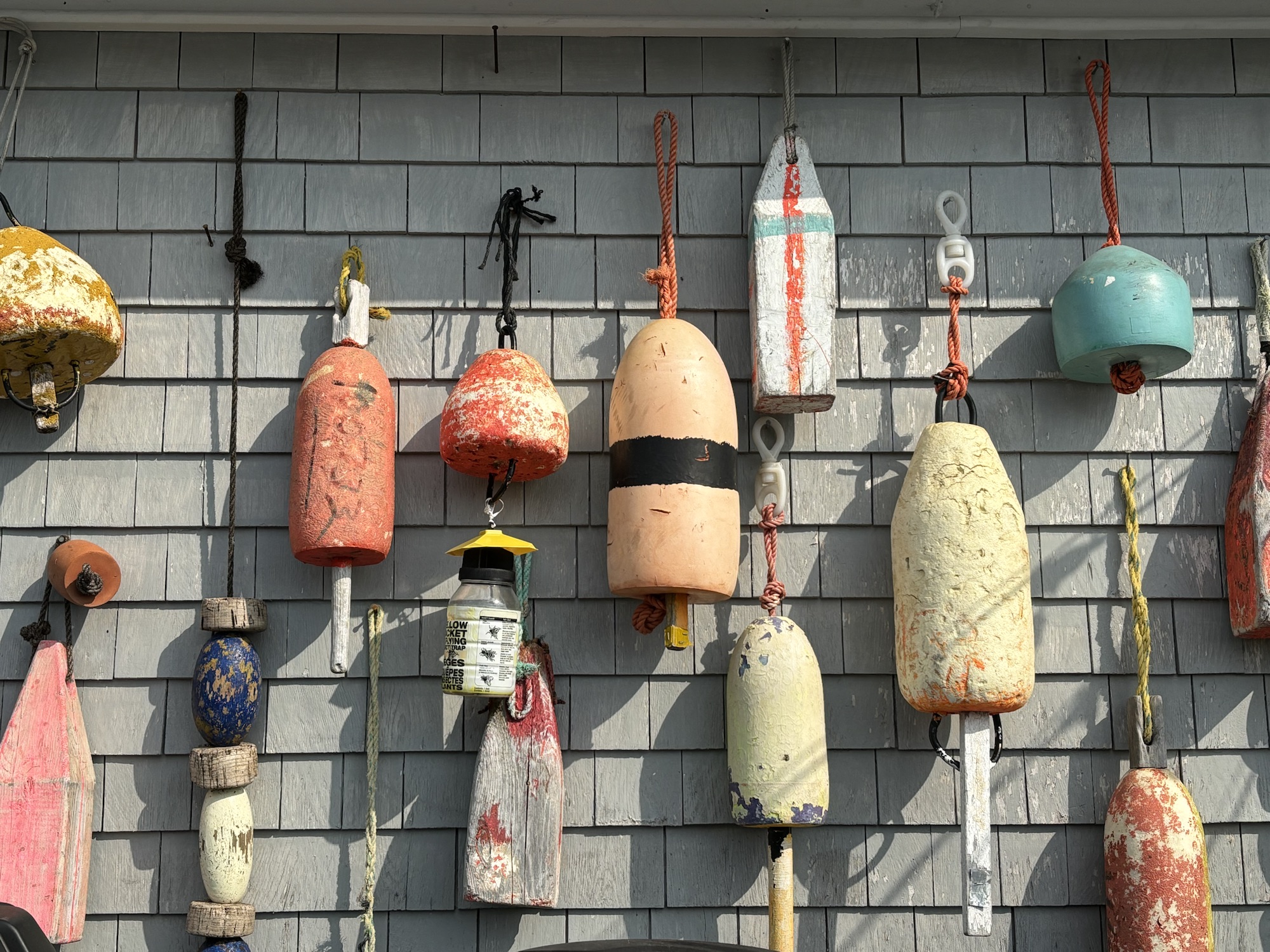
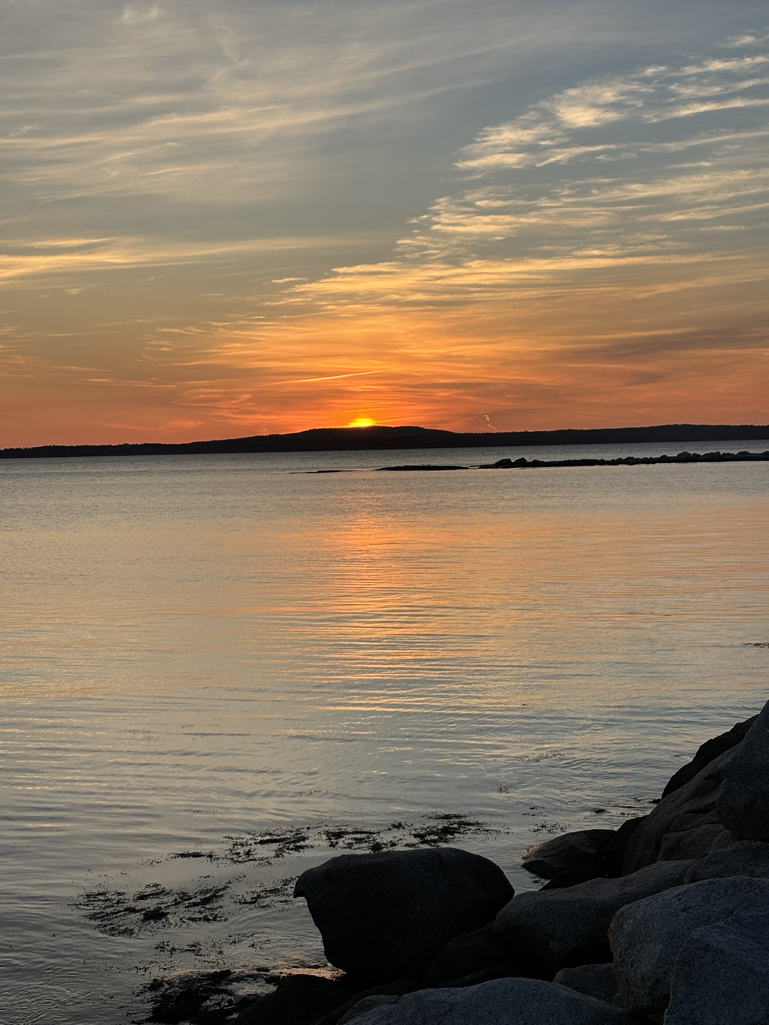
Then we wanted to see the actual Bay of Fundy and headed to the coast at a town named Margaretsville. No, not a Jimmy Buffet resort. Not even close. Just a similar name. Anyway, it was good to finally see the Bay as it spreads out between New Brunswick and Nova Scotia, and to check out the little fishing village on the Bay.
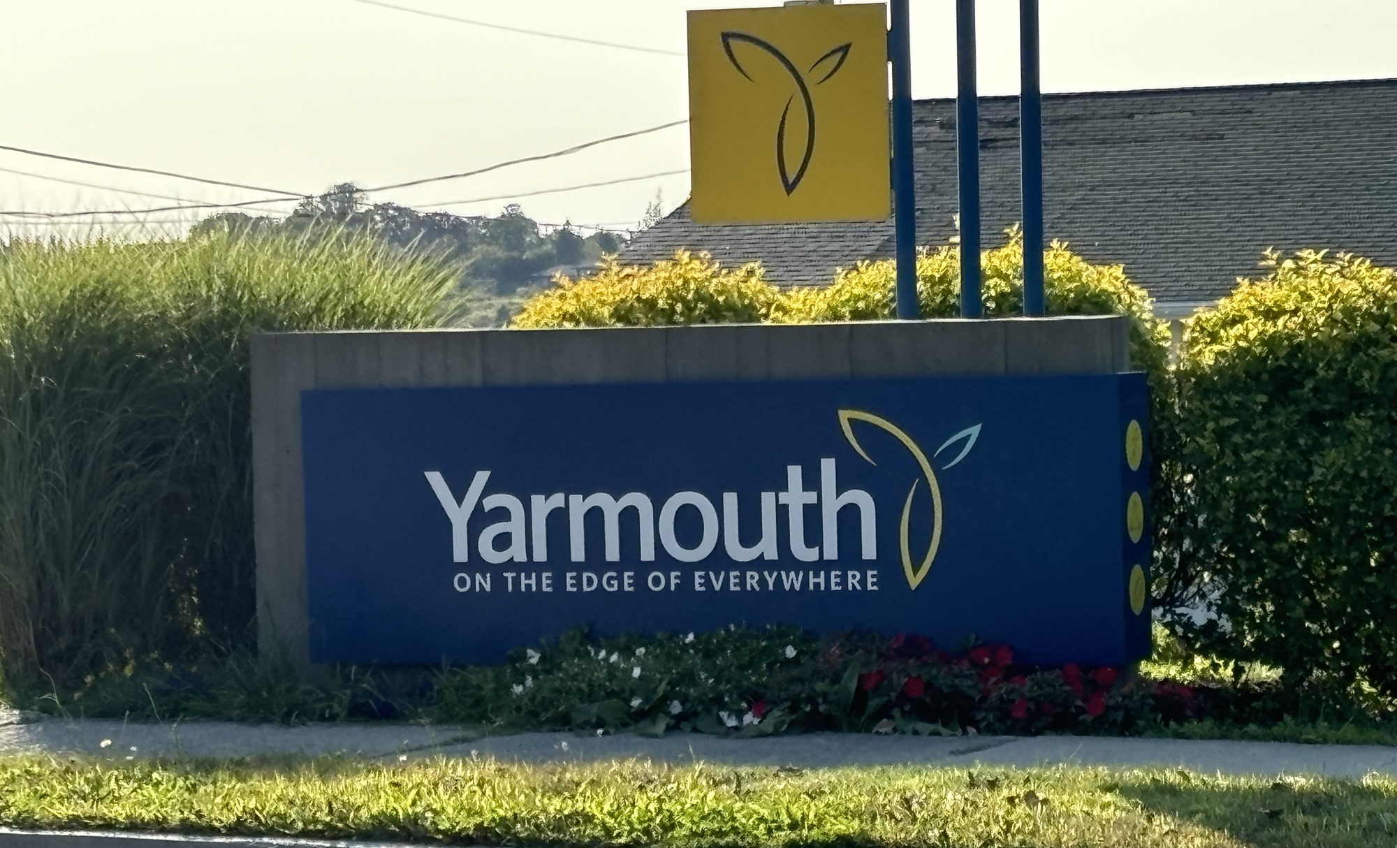
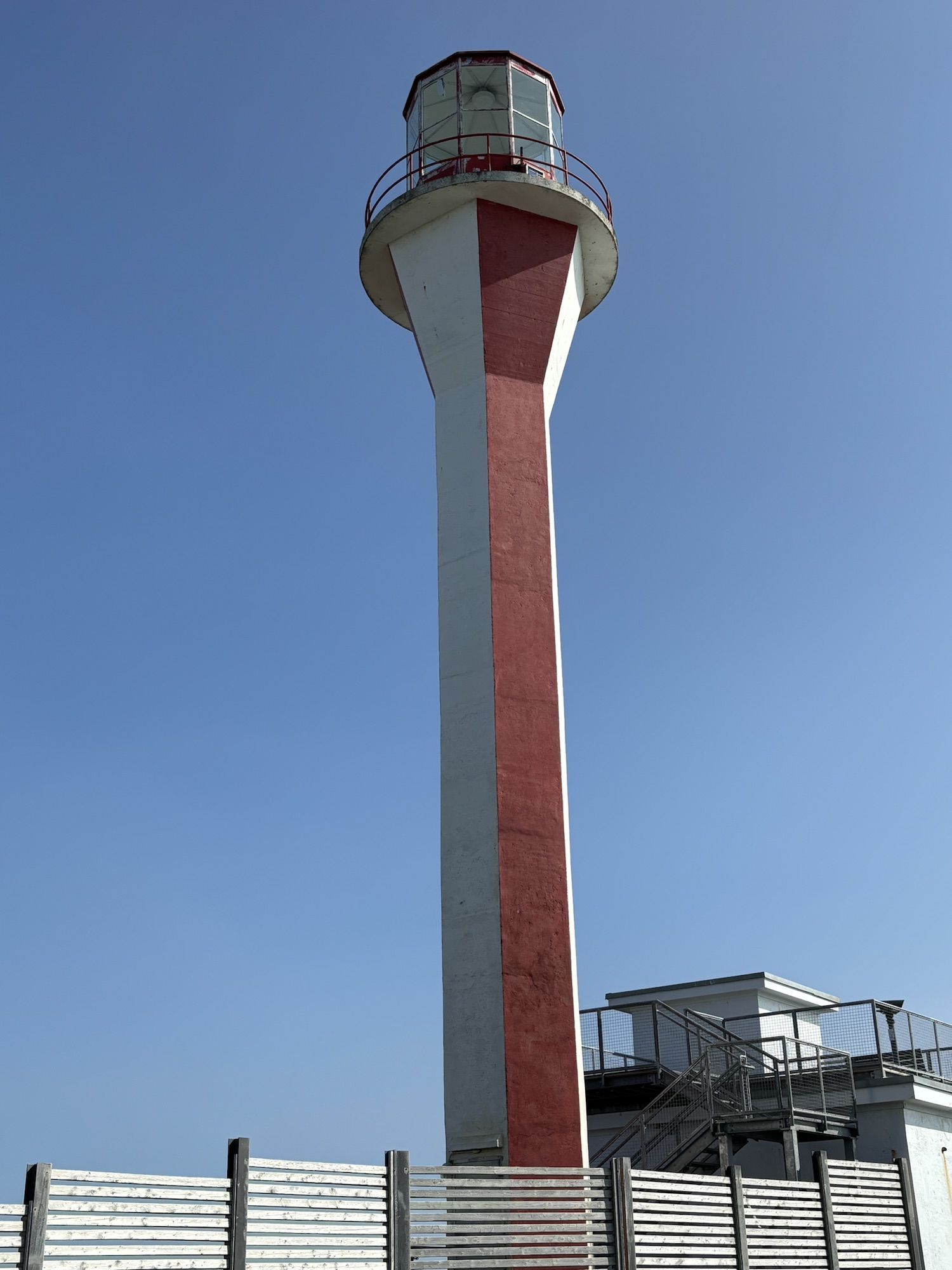
Next, we drove down the coast to the southwestern tip of Nova Scotia and to the town of Yarmouth. Some additional history here is that Yarmouth was once a major shipbuilding and fishing port. And its proximity to the US coast (Maine) made it a large trading stop for goods going from the US to Europe. The town is still famous for fishing and the famous lighthouse on the tip of Cape Forchu. The lighthouse has an unusual design called Apple Core because of the narrow tower with the light at the top.
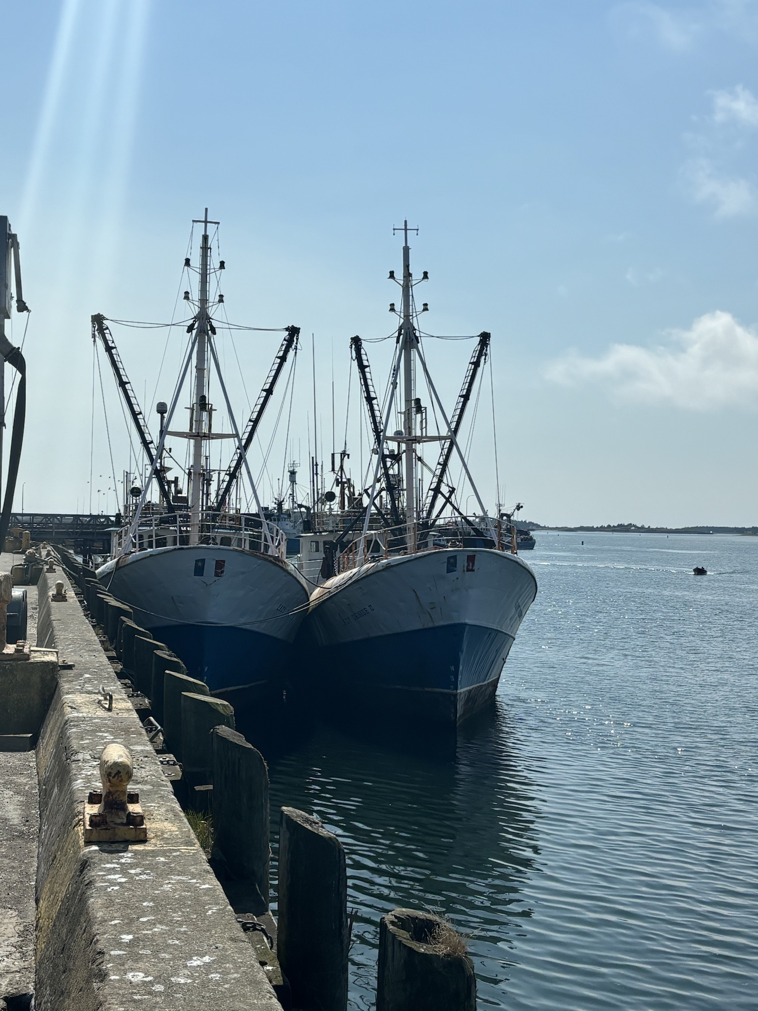
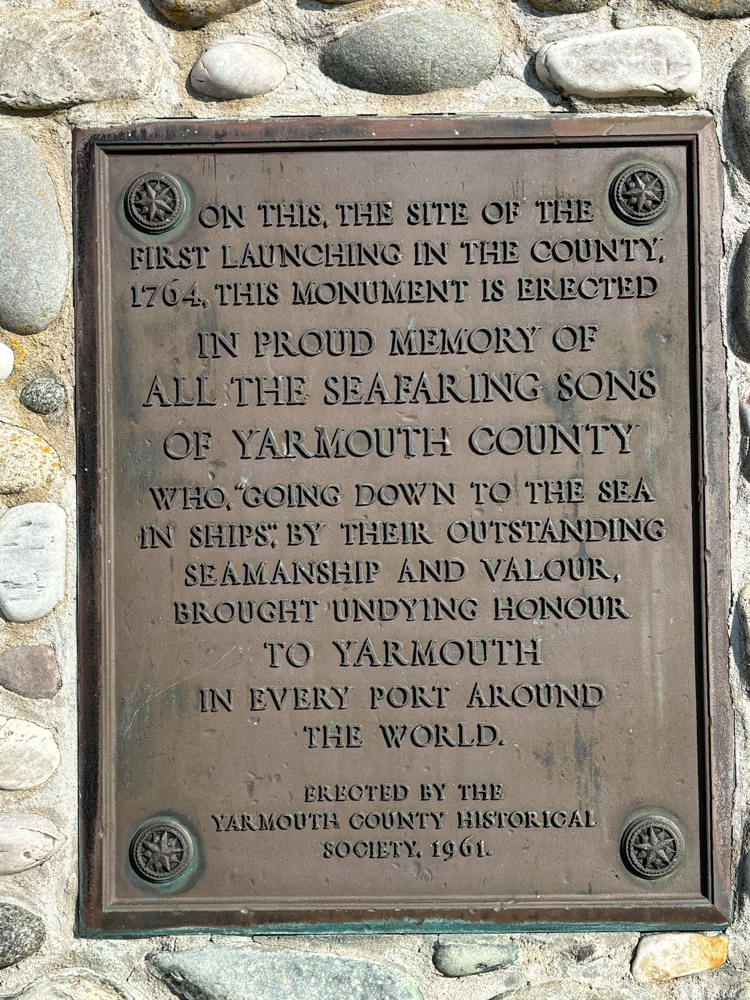

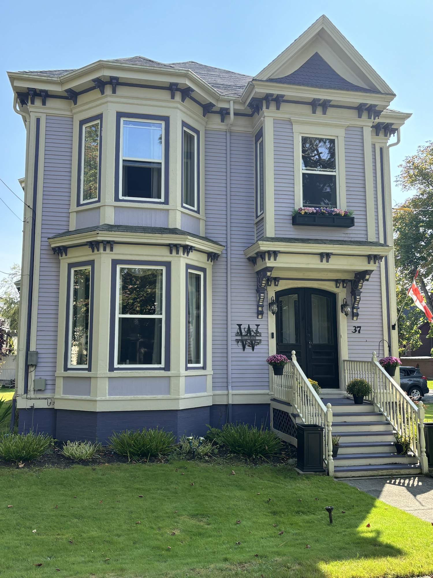
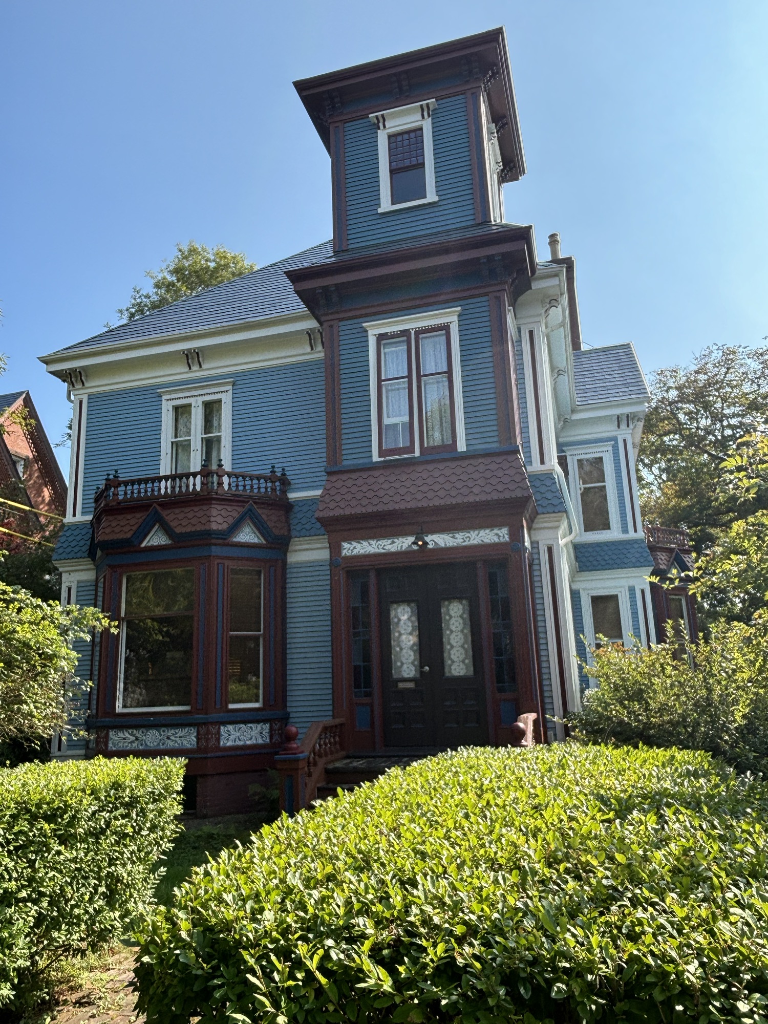
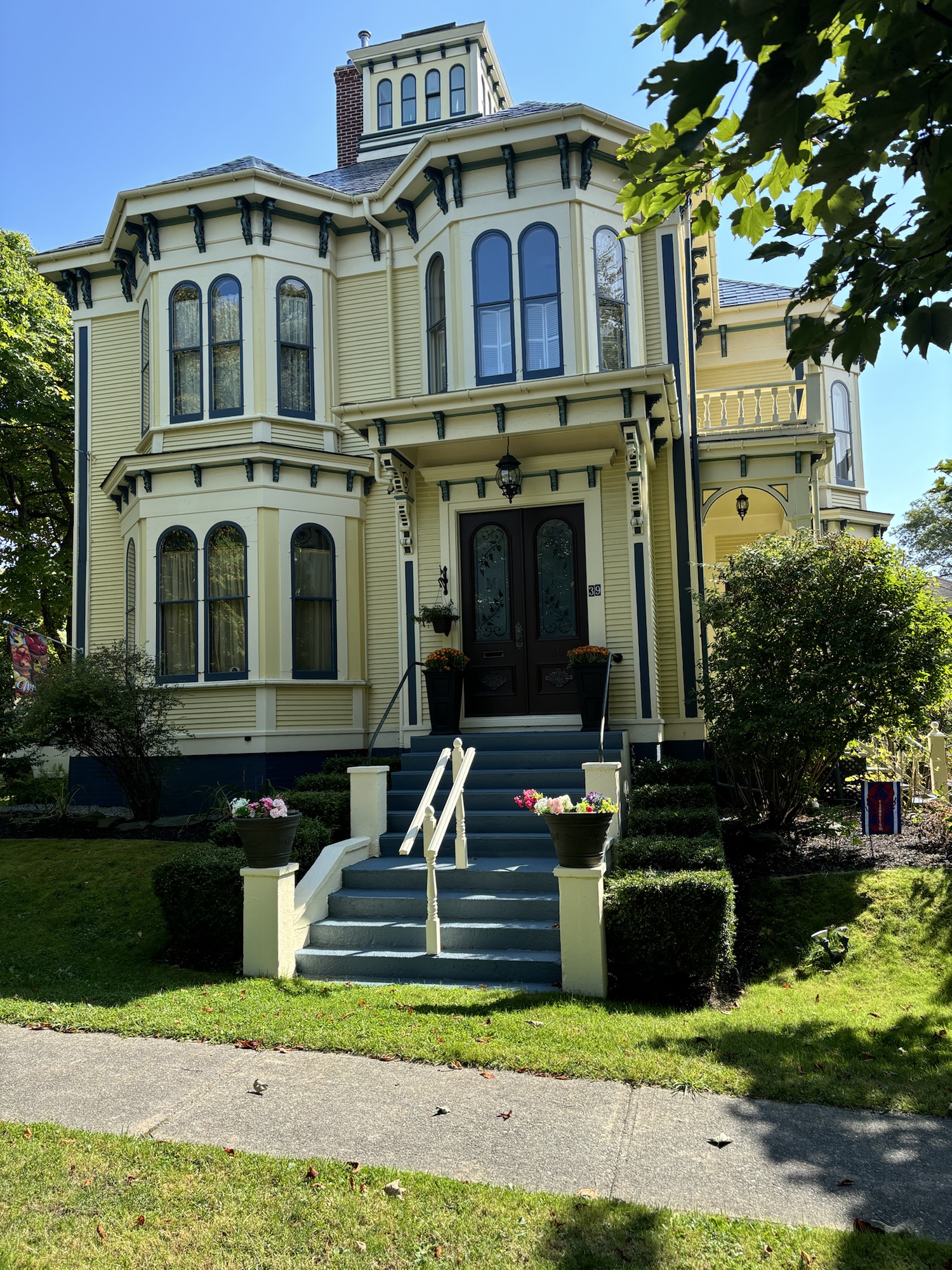
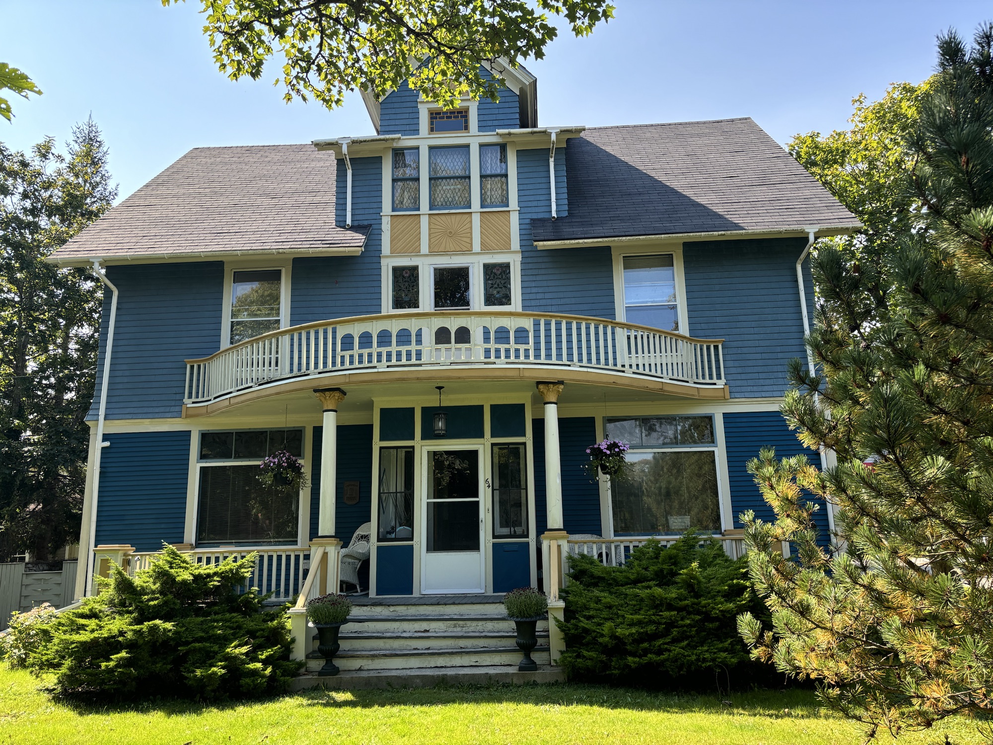
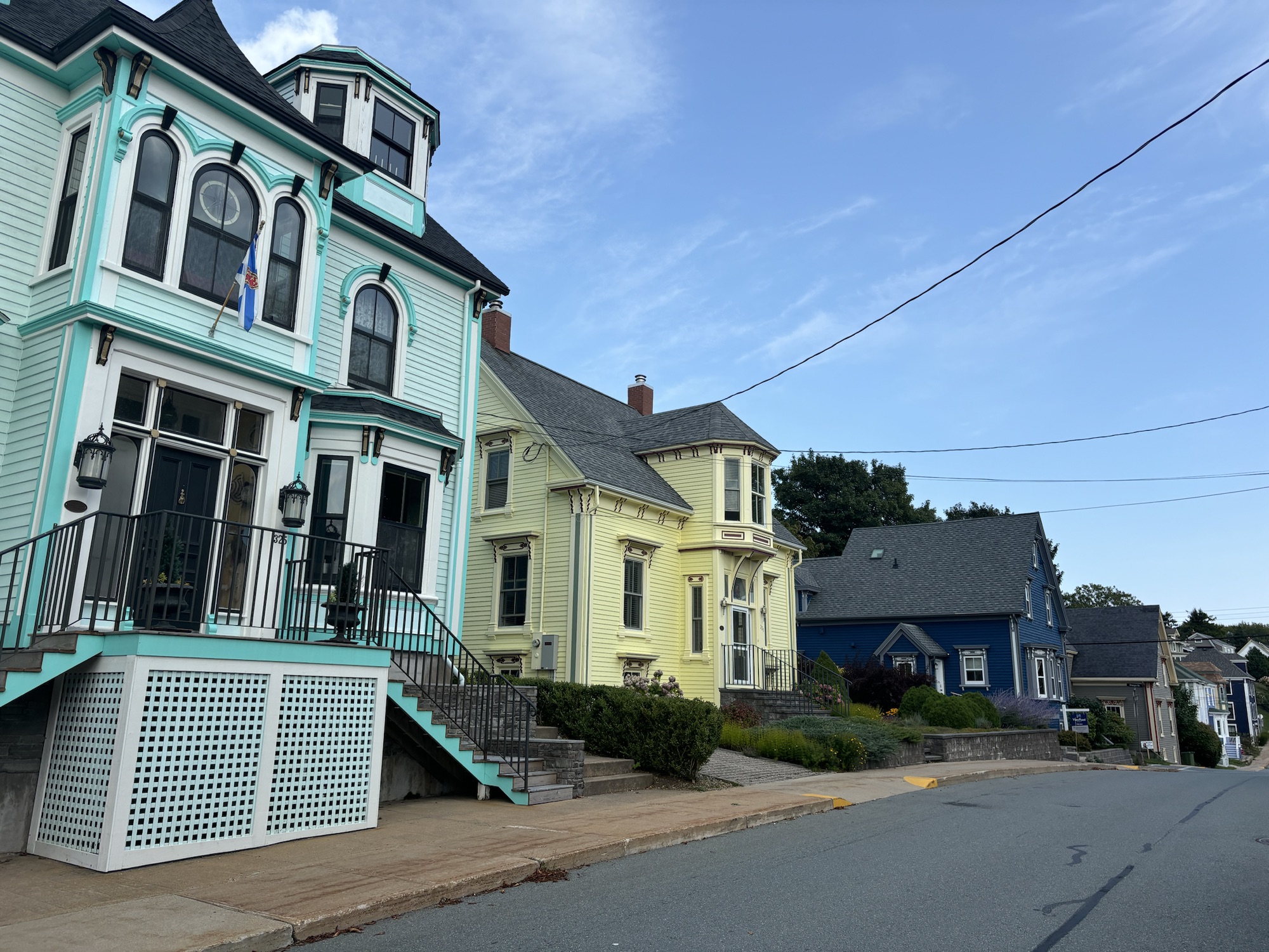
We also spent quite a lot of time strolling the streets of old houses and the port. There are numerous historical placards describing the history throughout the town and a self-guided tour of the homes.
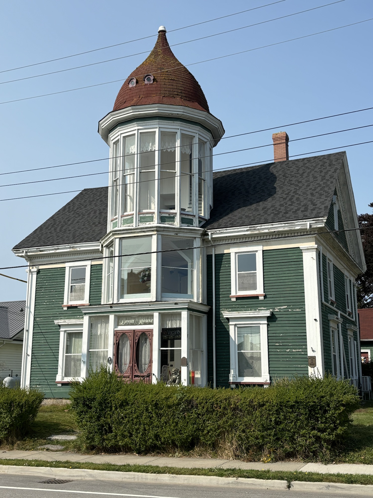
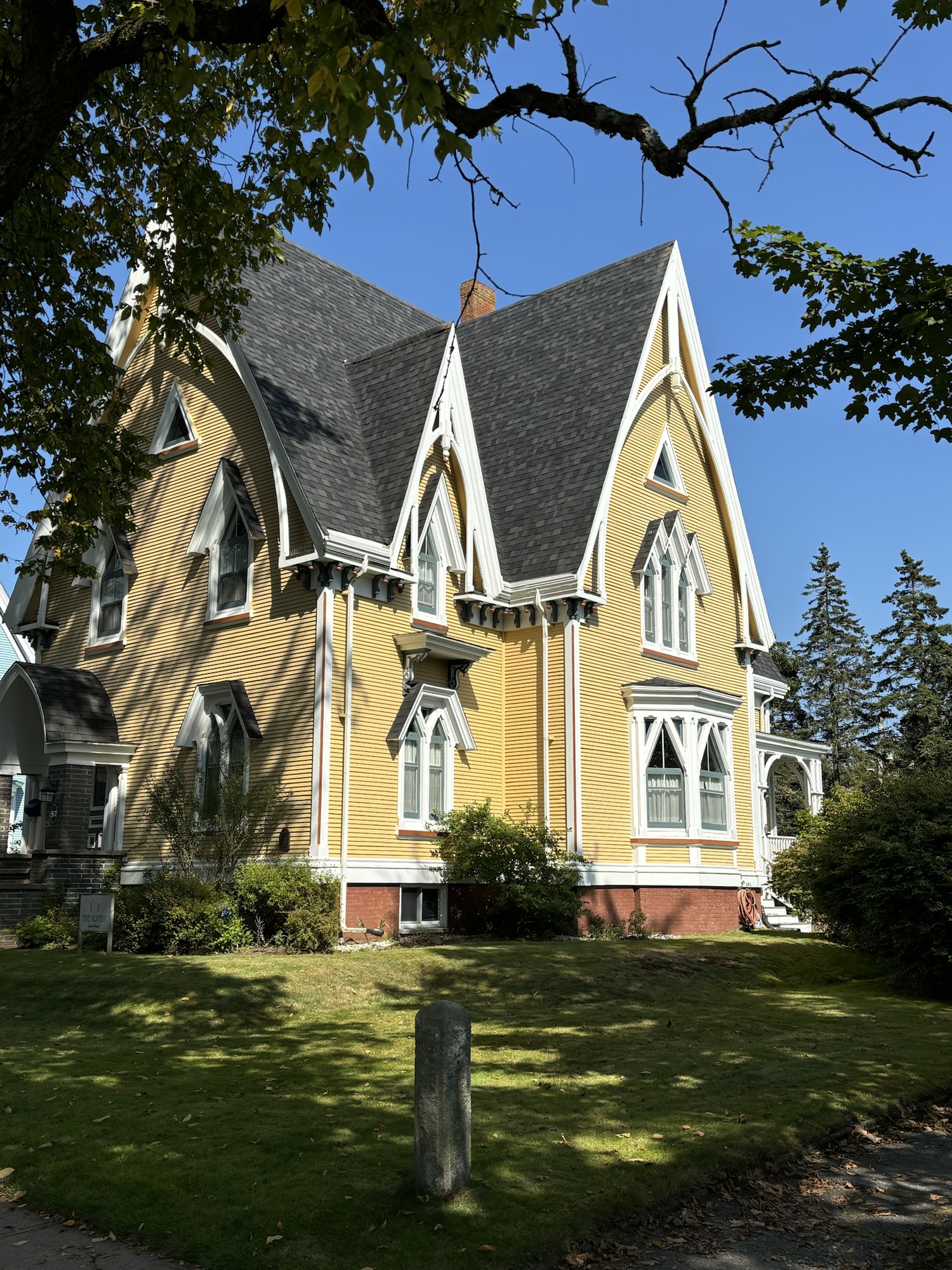
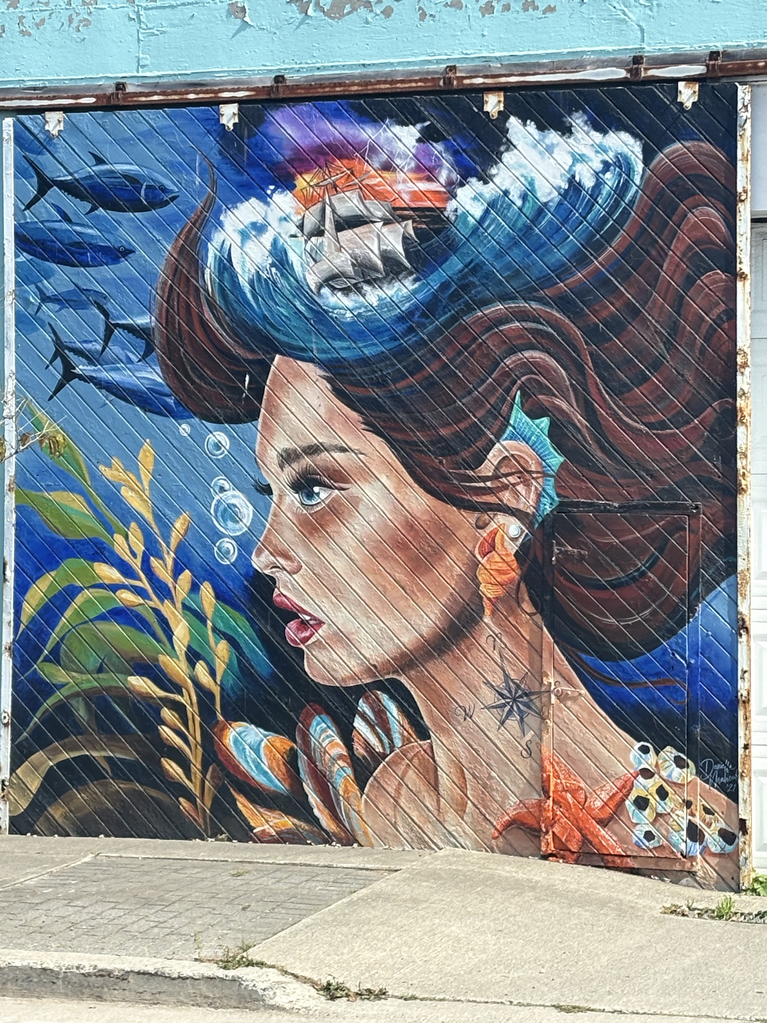
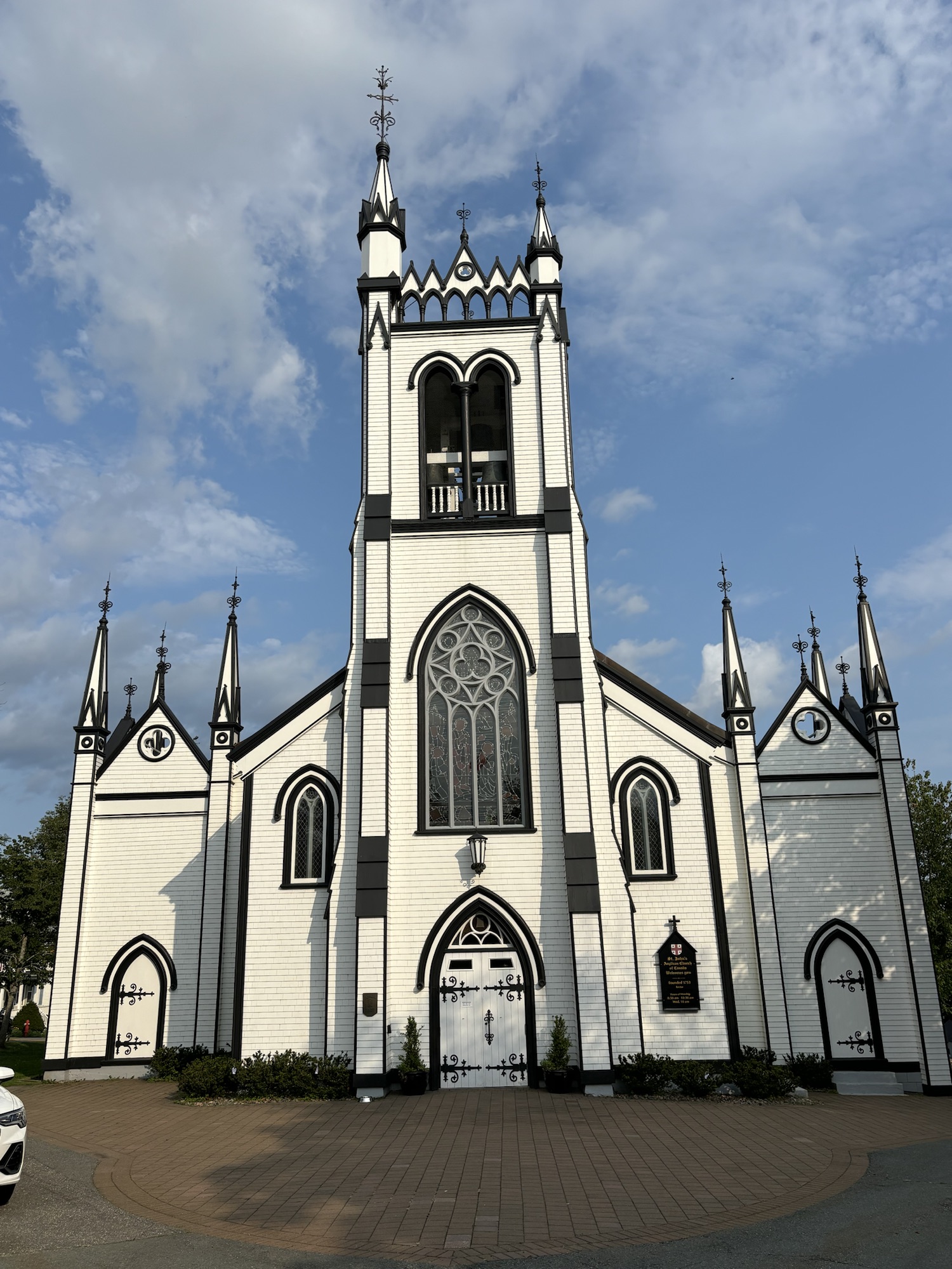
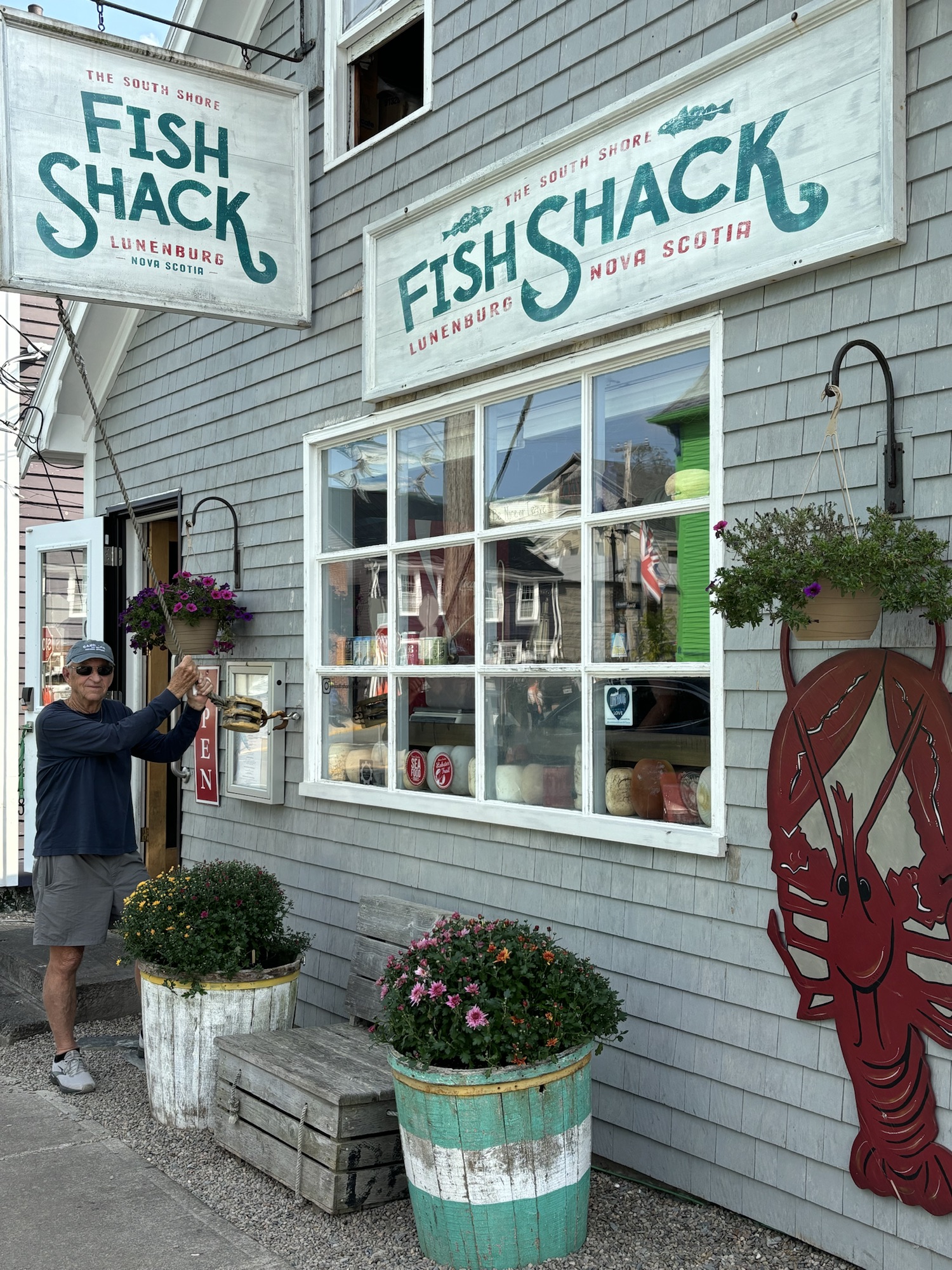
Next up the eastern coast was the town of Lunenberg which is a UNESCO World Heritage Site due to the layout of the town in the original fashion of the British settlements to satisfy the King. As one info panels stated, the town was set up with identical lots sizes and straight streets but independent of the topography of the town which leads to some really steep streets! About 75% of the buildings are original as well and with colorful facades. It is so attractive that they bring bus loads of people from the Halifax cruise ship docks (about an hour drive away) to see it!
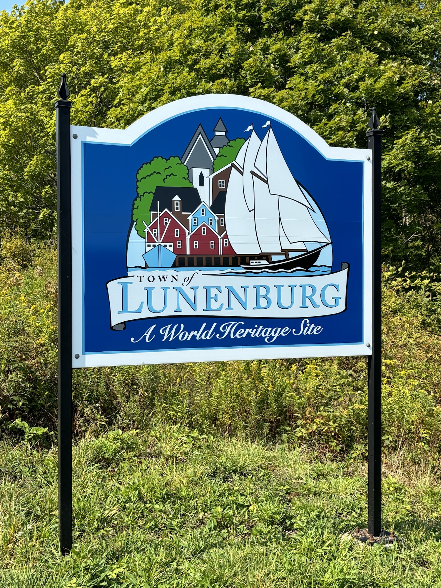
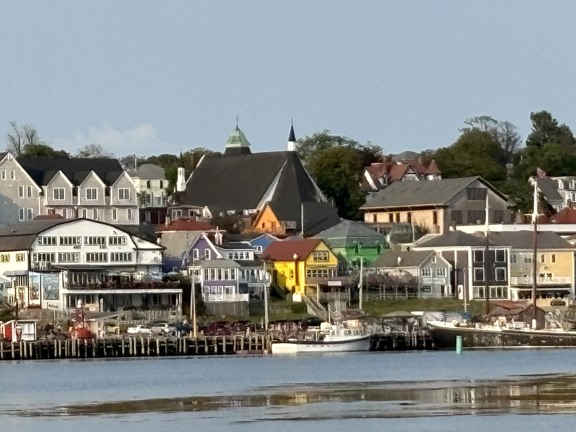
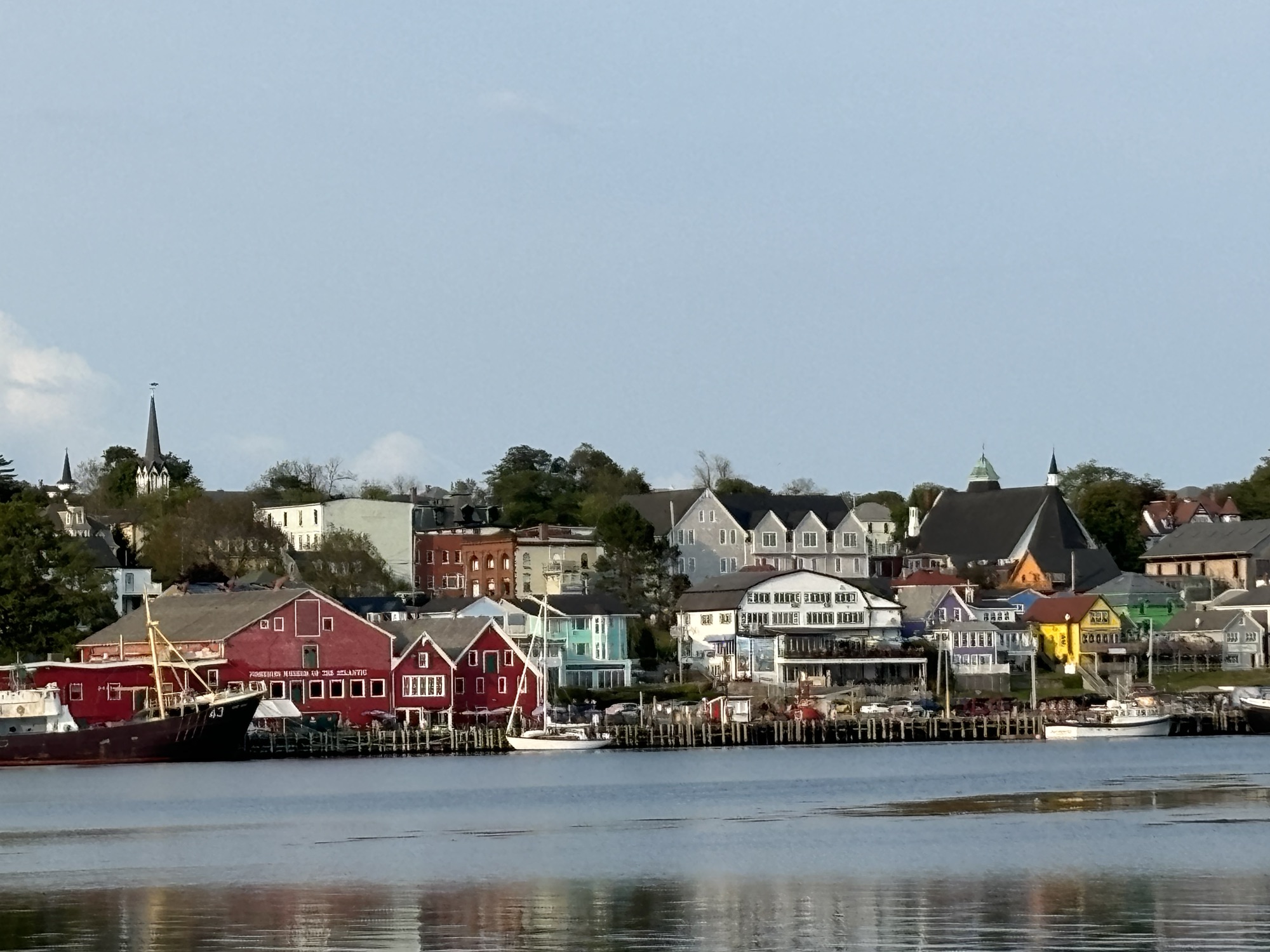
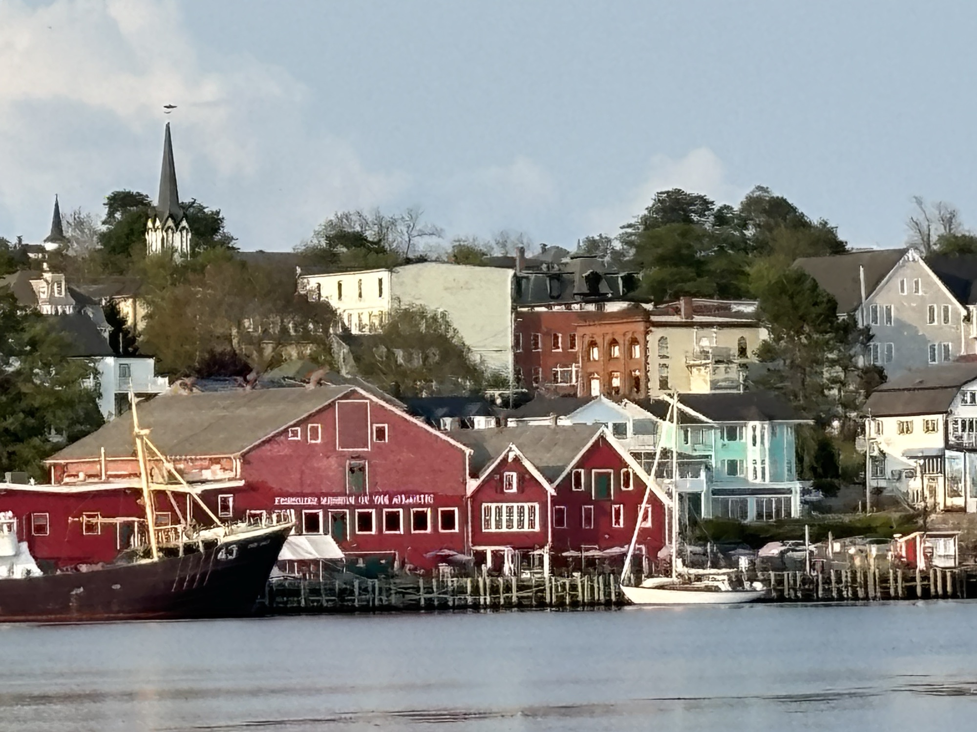
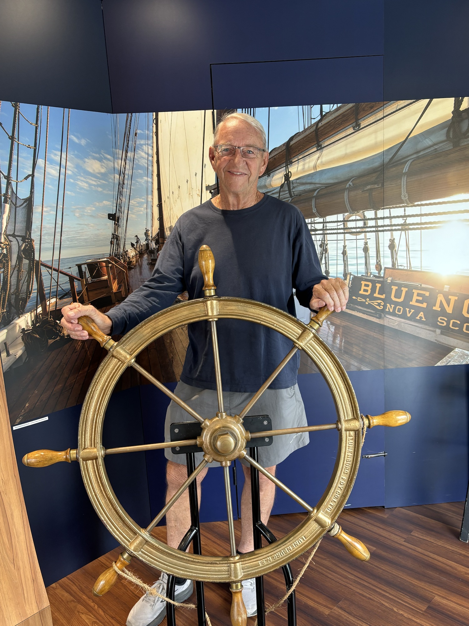
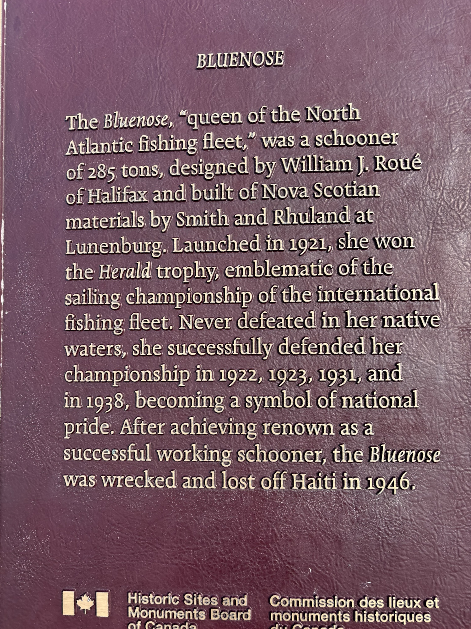
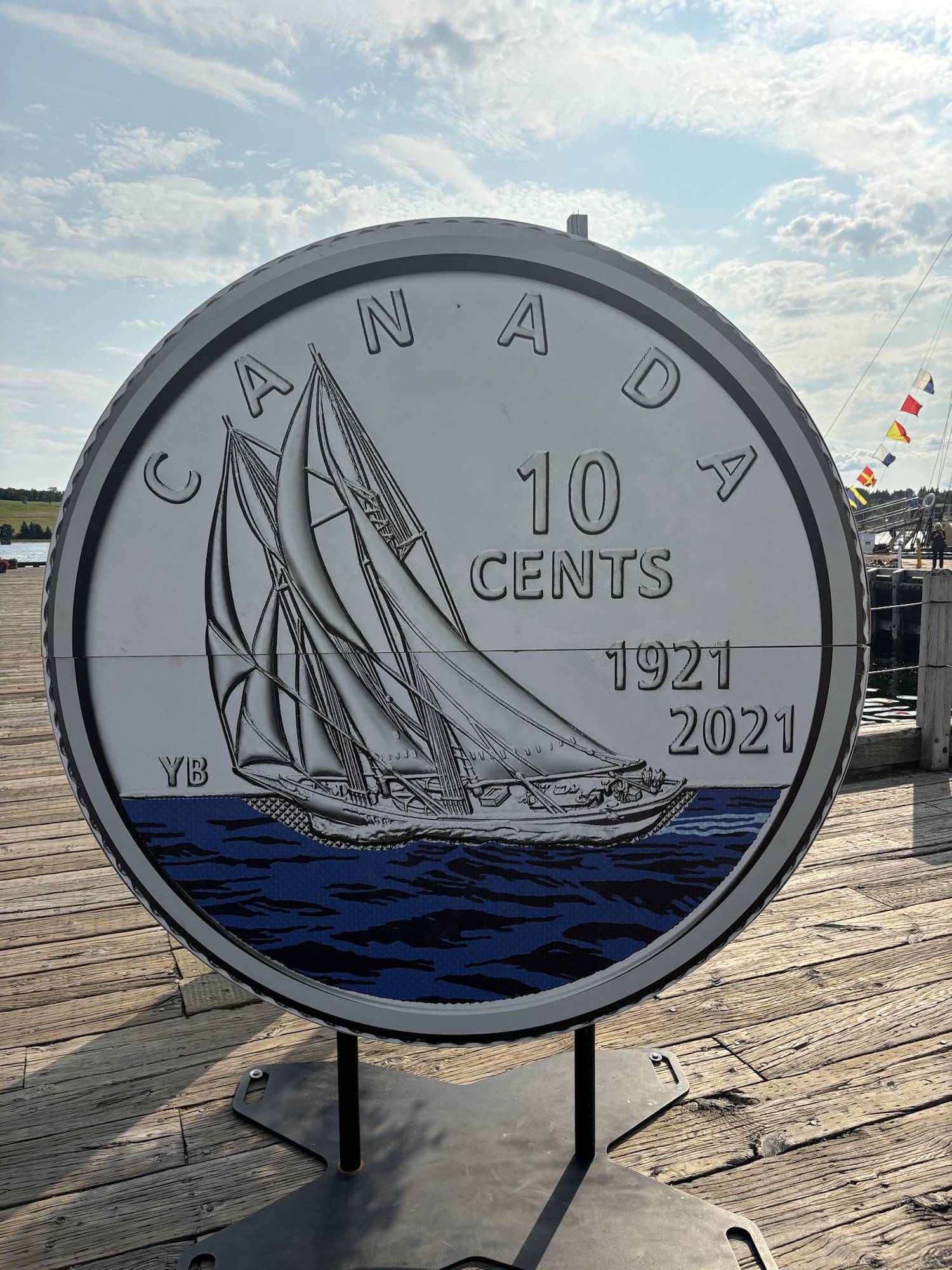
It is also known as the home of the famous schooner named Bluenose II, a reproduction of the original Bluenose that was lost at sea. The Bluenose was famous as both a working fishing boat and the winner of 4 International Fisherman Cup Races. It looked familiar to us as we realized that we actually have a model of it on our bookcase at home. (Thank you, Pete Clancy!) And it is seen on the Canadian dime and many other posters as an icon to Canadian sailing.
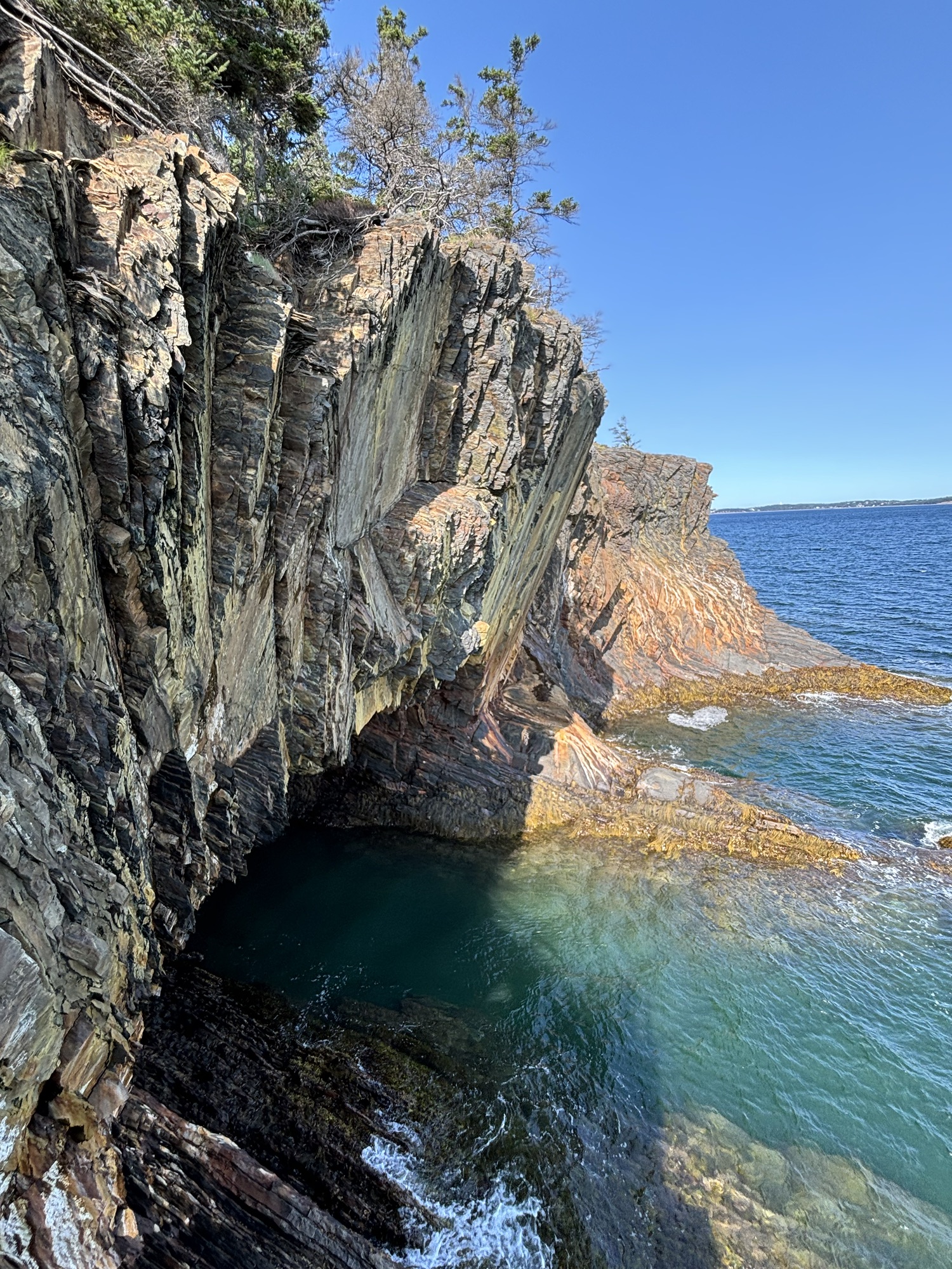
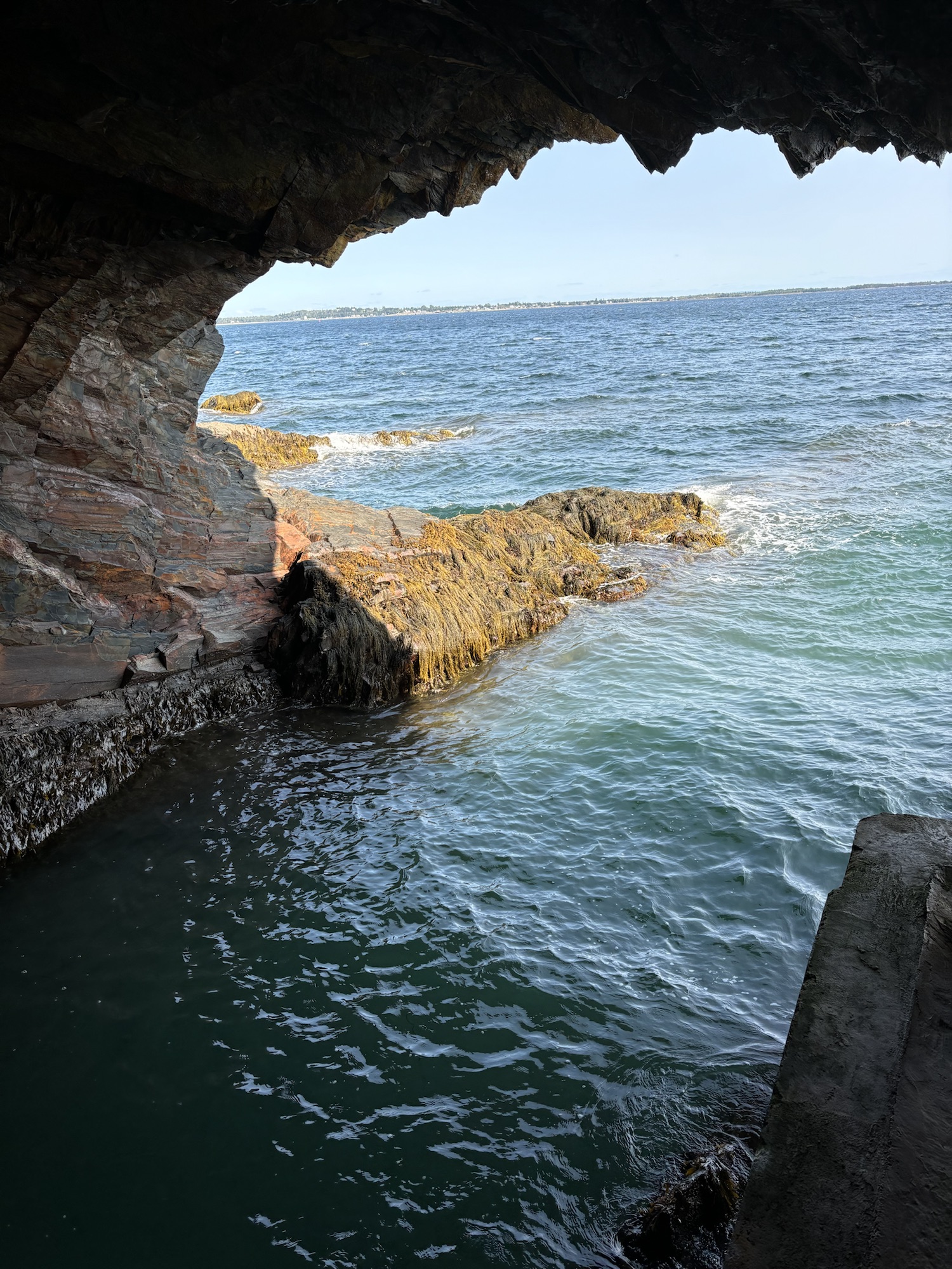
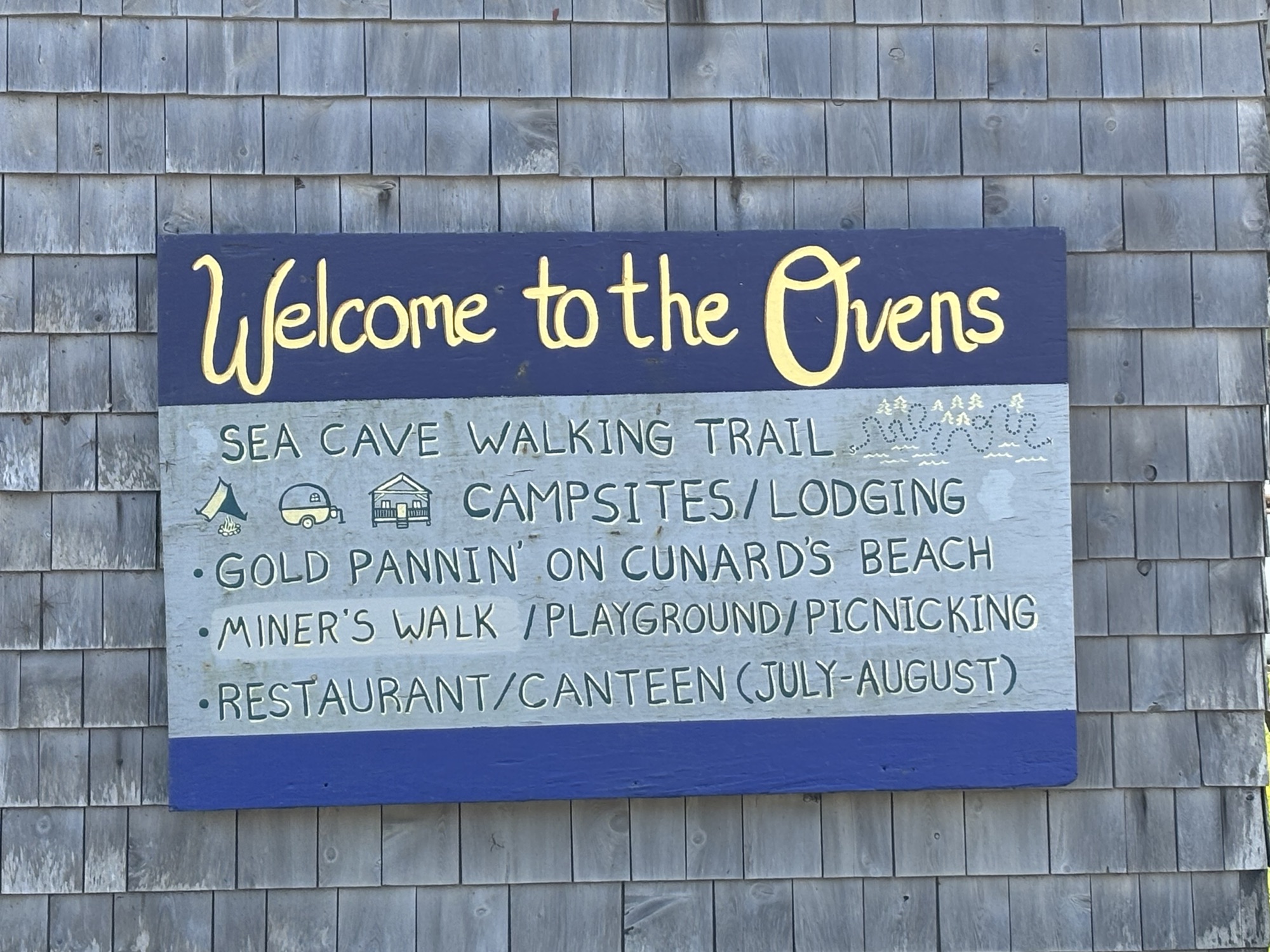
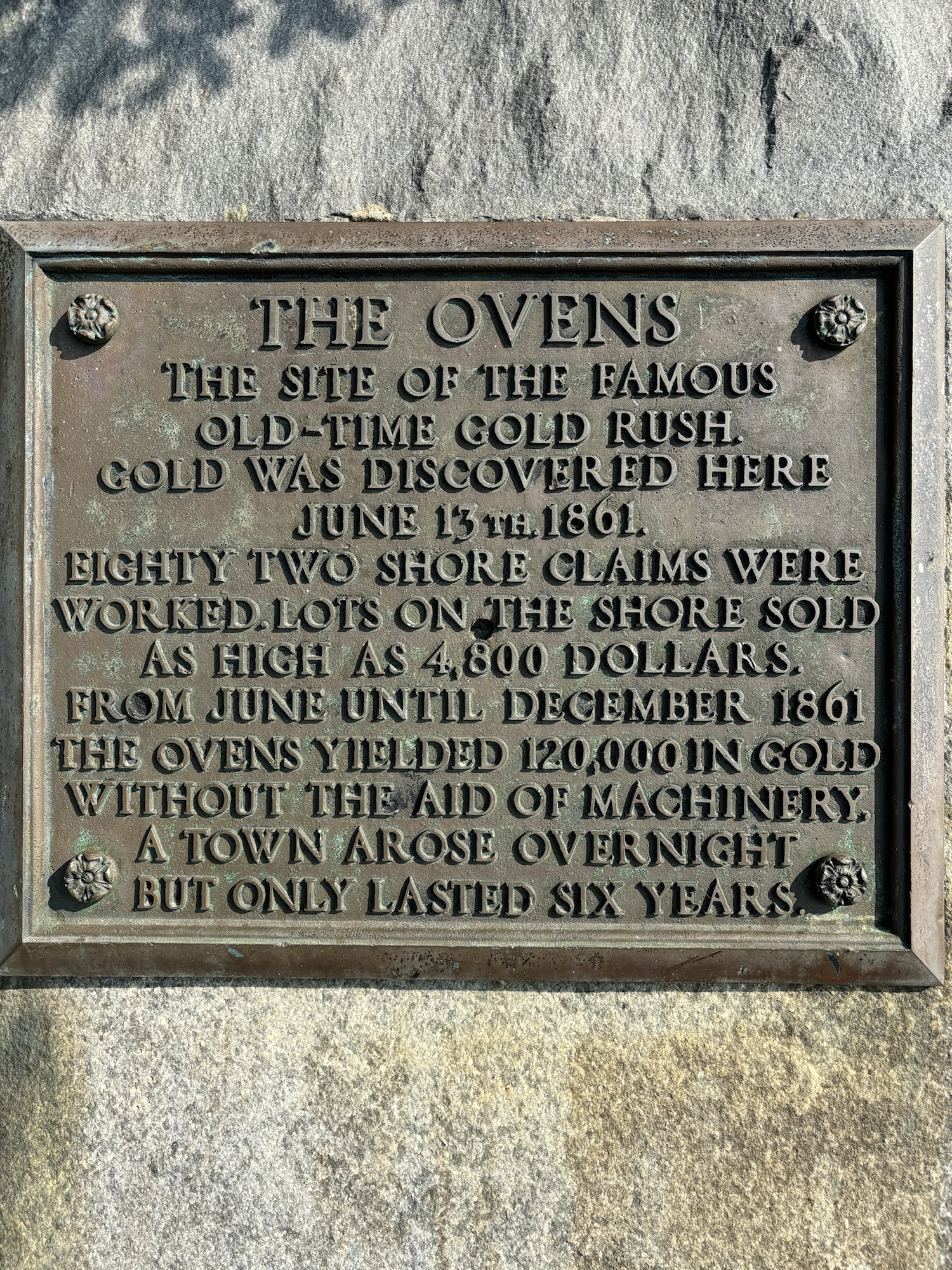
And just before we left the next morning, we took a few minutes out to go to The Ovens. It is a series of caves in cliffs at the water line that are physically located currently as part of an RV/camping park. They are famous as the area where gold was discovered in 1861 and set off a small gold rush of their own. The actual gold rush only lasted a few years as there was little gold recovered and one man (a member of the Cunard family) began dredging the beach off shore and shipping the sand to Wales for processing. An interesting story, but the geology and topography is even more interesting and we are glad that we made the stop.
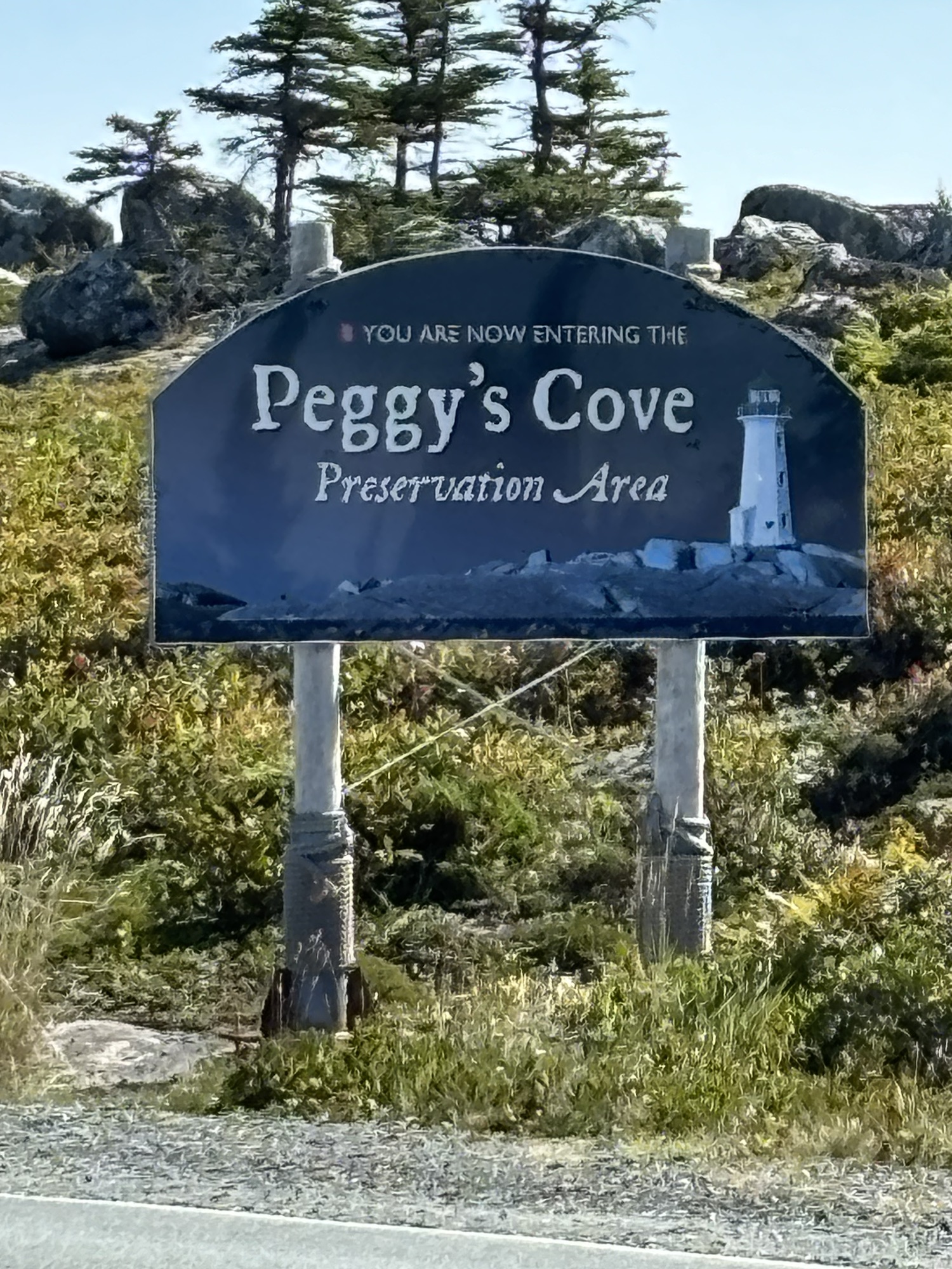
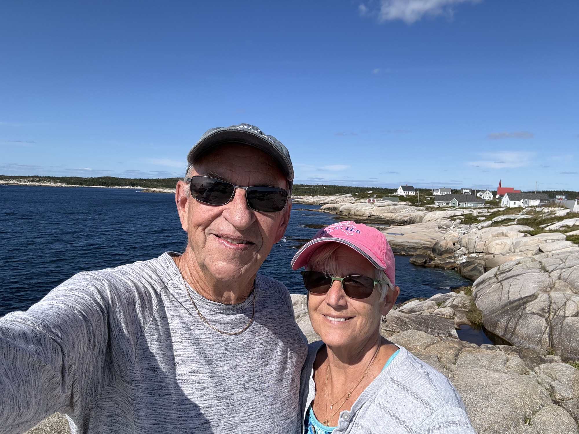
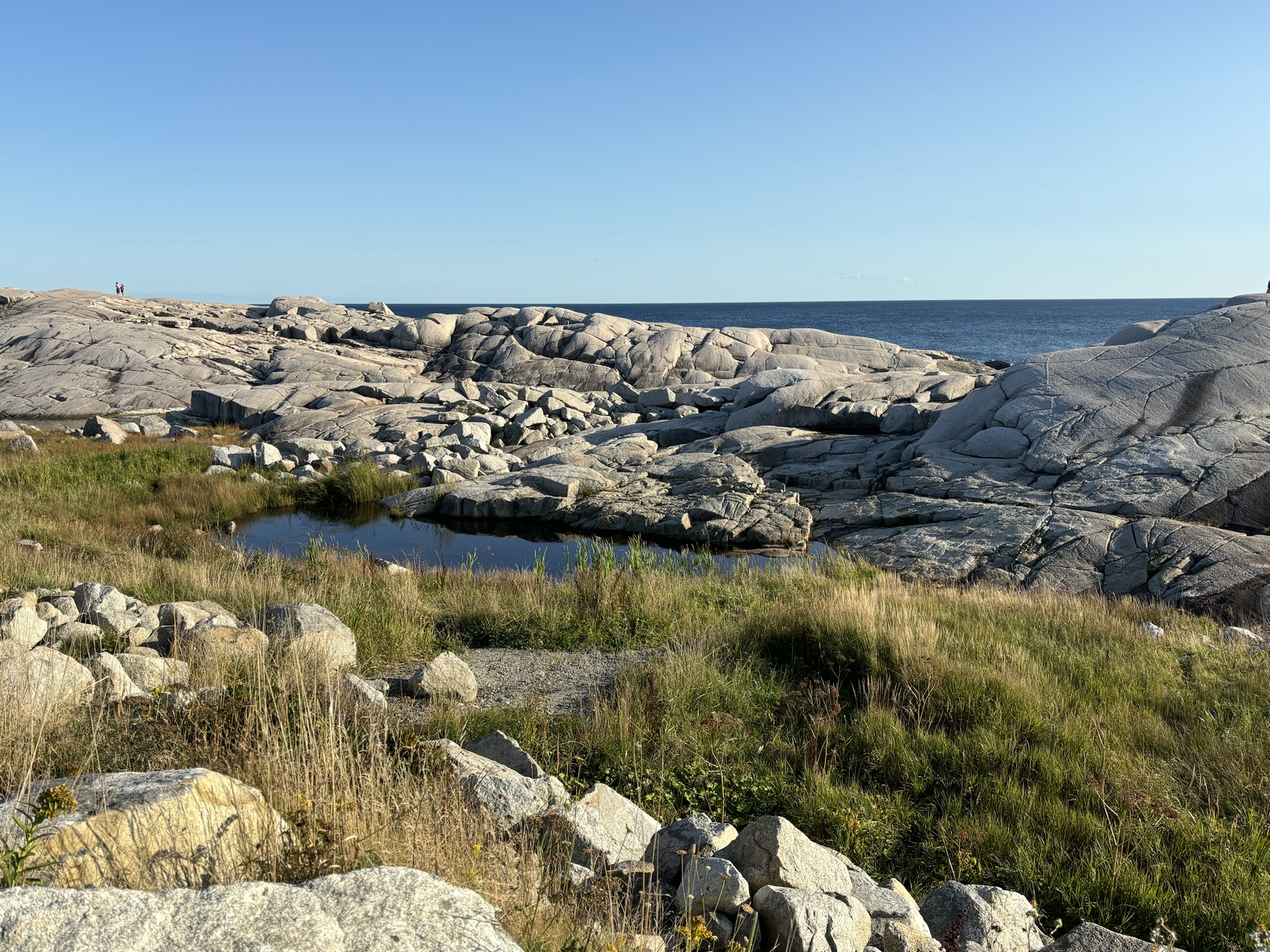
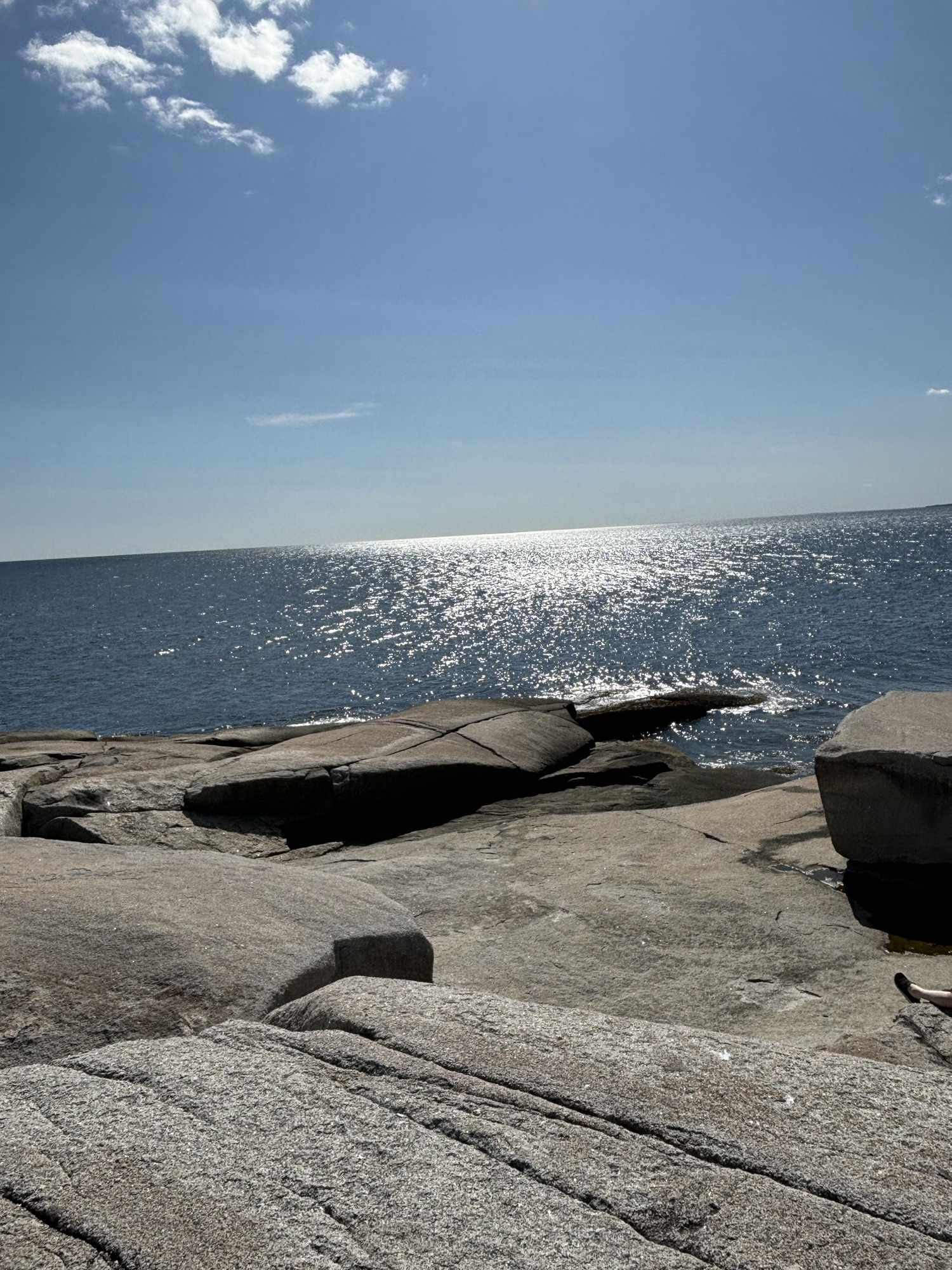
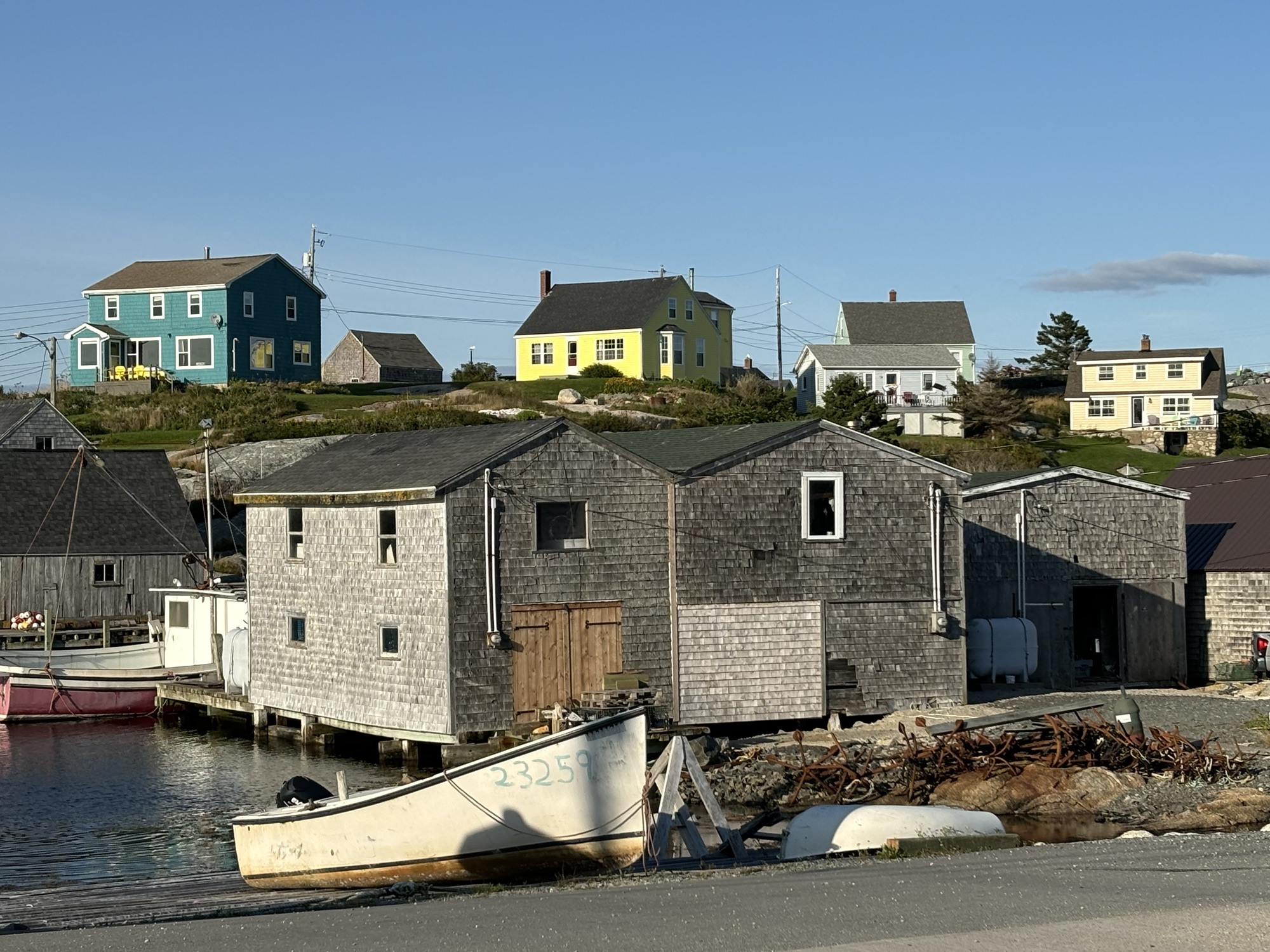
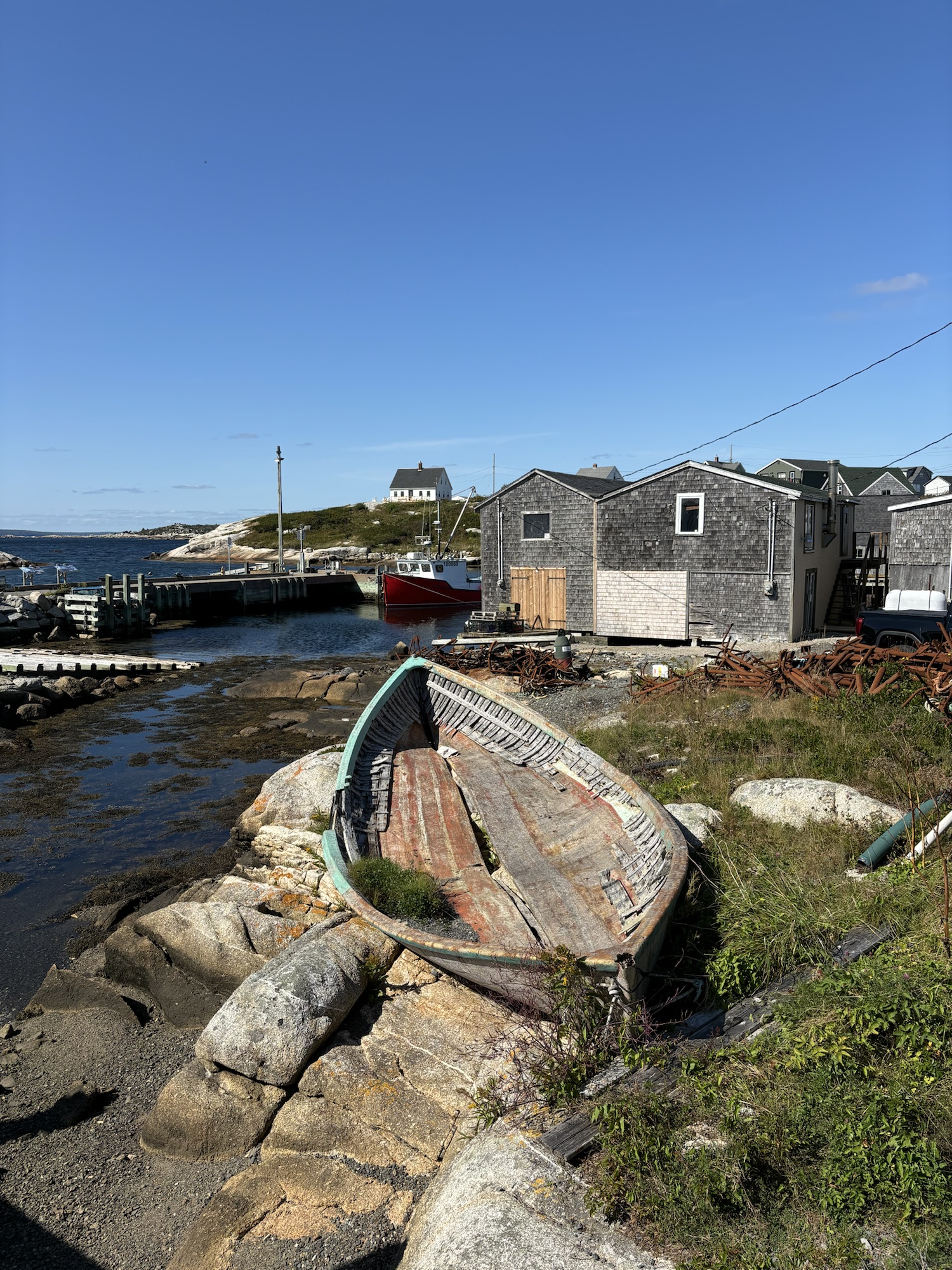
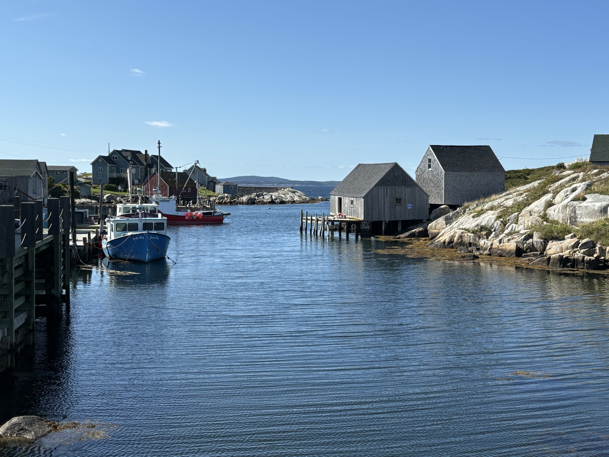
And again speaking of tour buses, there is another more famous site up the beach and closer to Halifax that attracts even more people, including us. That is the Peggy’s Cove lighthouse. It is so famous that I saw a photo of this lighthouse on my computer screen over a year ago. I googled the location and found it on our planned route. So, I added it to our itinerary back then. I just didn’t realize what a big deal one lighthouse could be especially after seeing so many other lighthouses on our trip already.
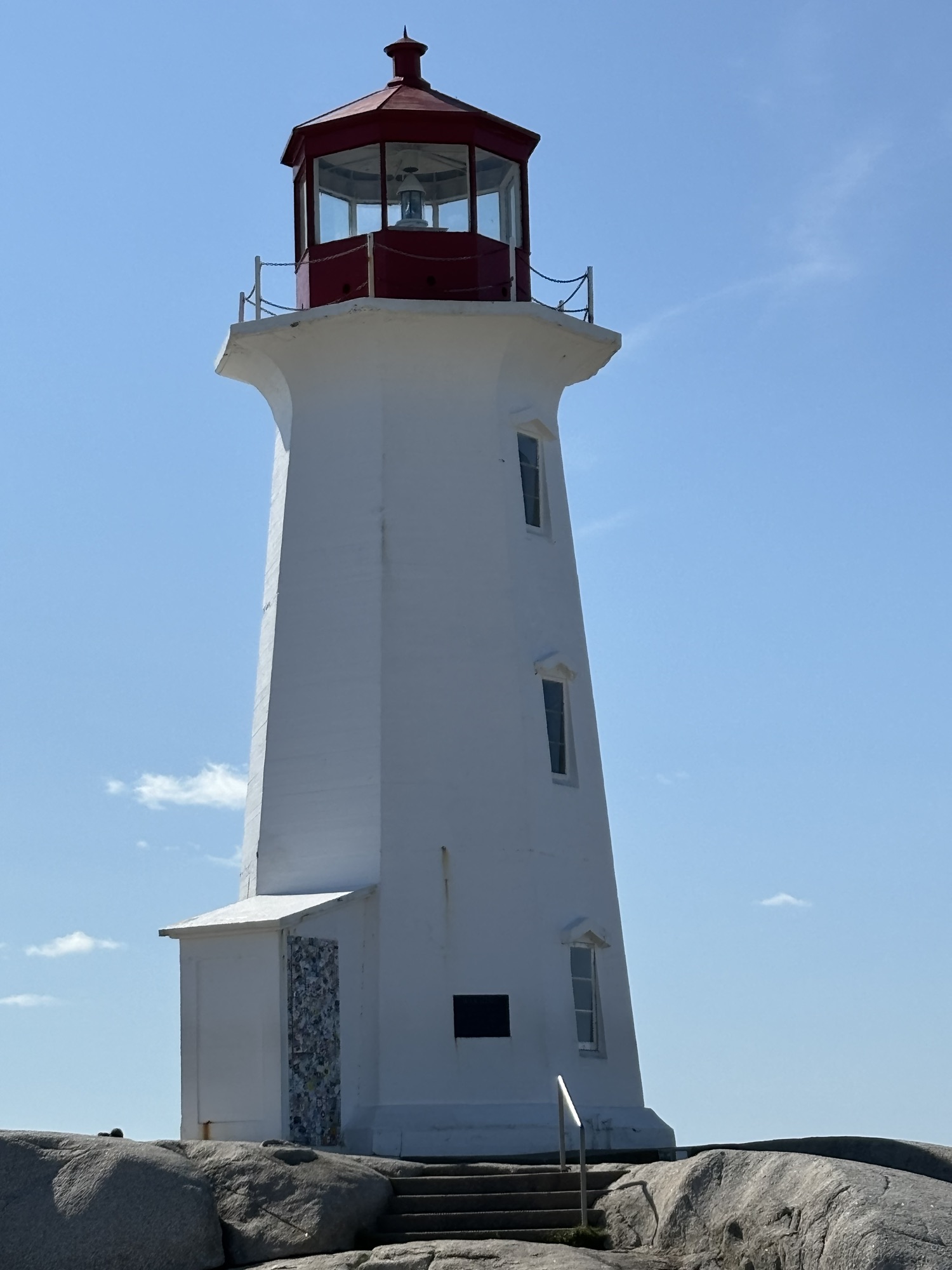
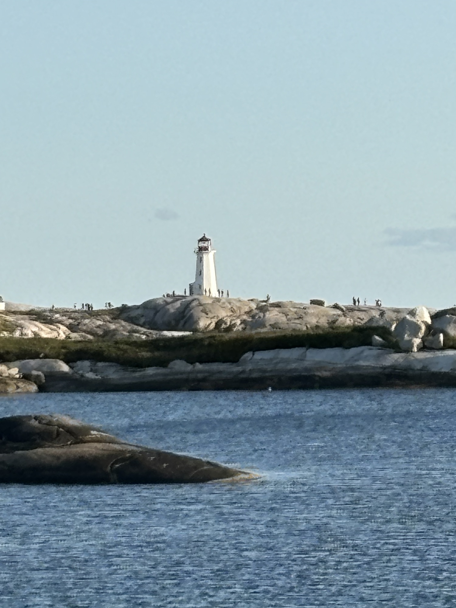
But we went with the flow. And to be honest, it is an amazing location in a very small town that revolves completely around this lighthouse. It sits on a rock base that projects out into the ocean. The majesty of the lighthouse and the quaintness of the village both contribute to its allure. We waited long enough to get a photo or two with no one else in the picture. The joy of being a tourist!
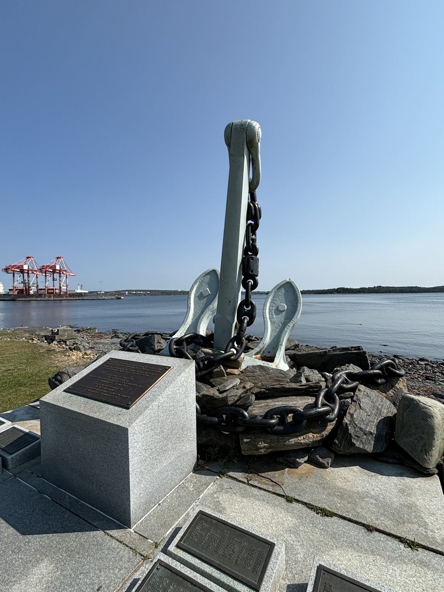
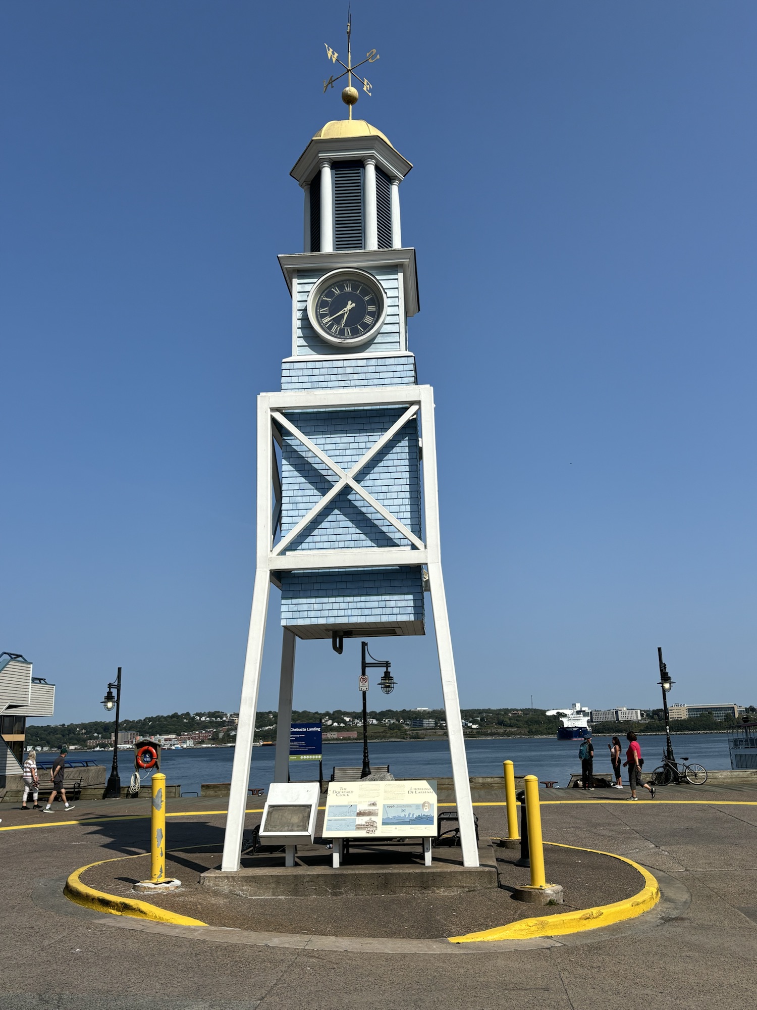
Finally, on this leg was Halifax itself. We stayed across the bay in Dartmouth but close enough to go back and see the city. Halifax is the capital of Nova Scotia; a major seaport and a major cruise ship stop. So, lots more people, even if a lot of them are on buses going to Peggy’s Cove and Lunenburg!
We went downtown and picked the southern point park called Point Pleasant to go see first and get in a nice walk. The park is a Canadian provincial park and dedicated to the actions of people in Halifax during the two world wars. Being so close to Europe, Halifax became a major port for supplies and troops to support the war efforts. Very nice park with many memorials.
Another interesting fact was that the park had a mostly off-lease policy for the dogs. Don’t see that much at all. The rules are very strict as you might imagine but the dogs really seemed to enjoy it!
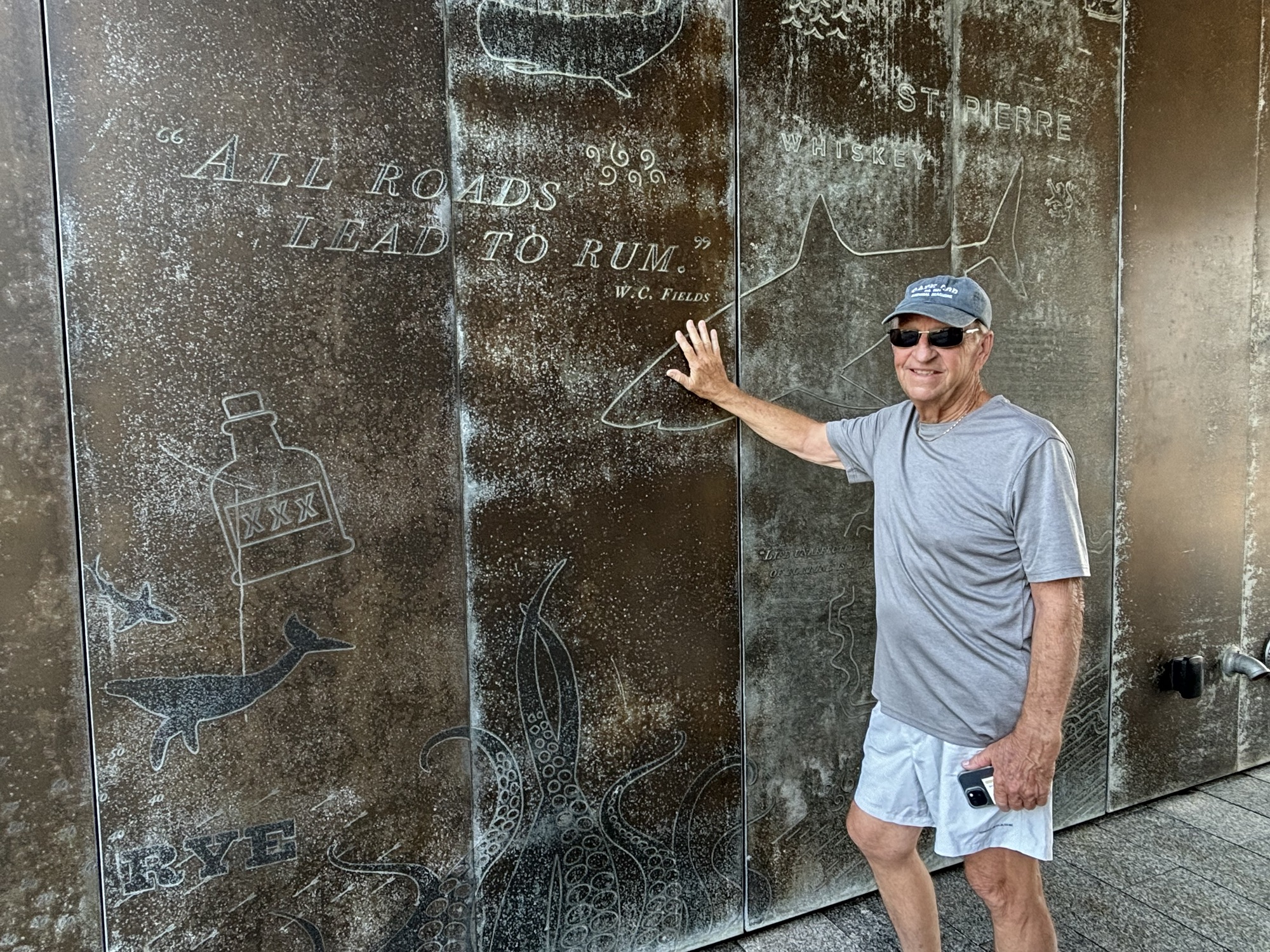
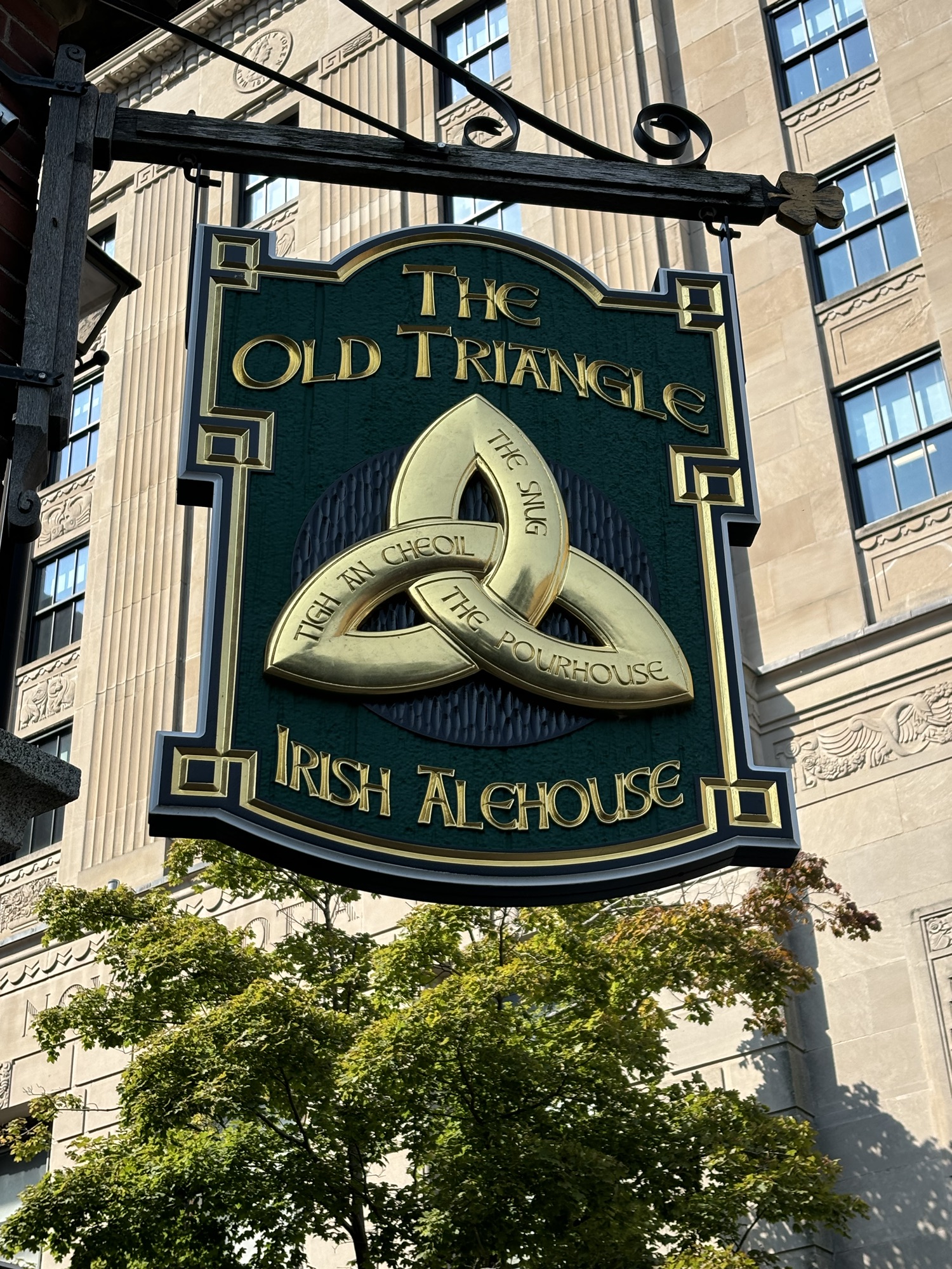
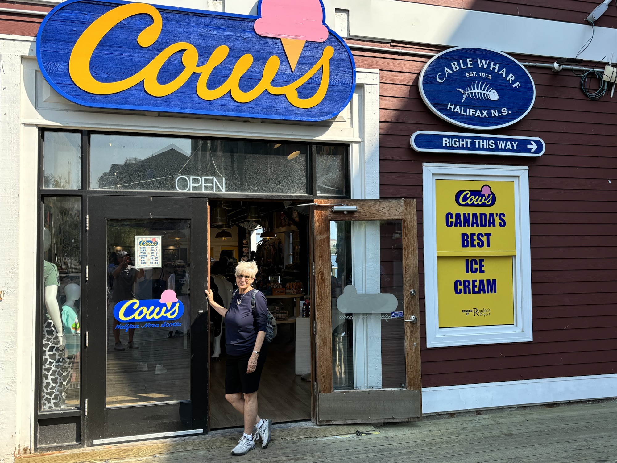
Finally, a trip down to the docks to mingle with the tourists again. We found a nice Irish Pub for lunch and a Cows Ice Cream shop for dessert!

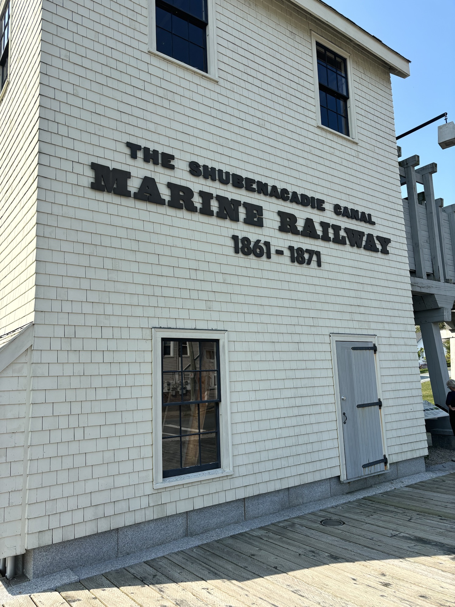
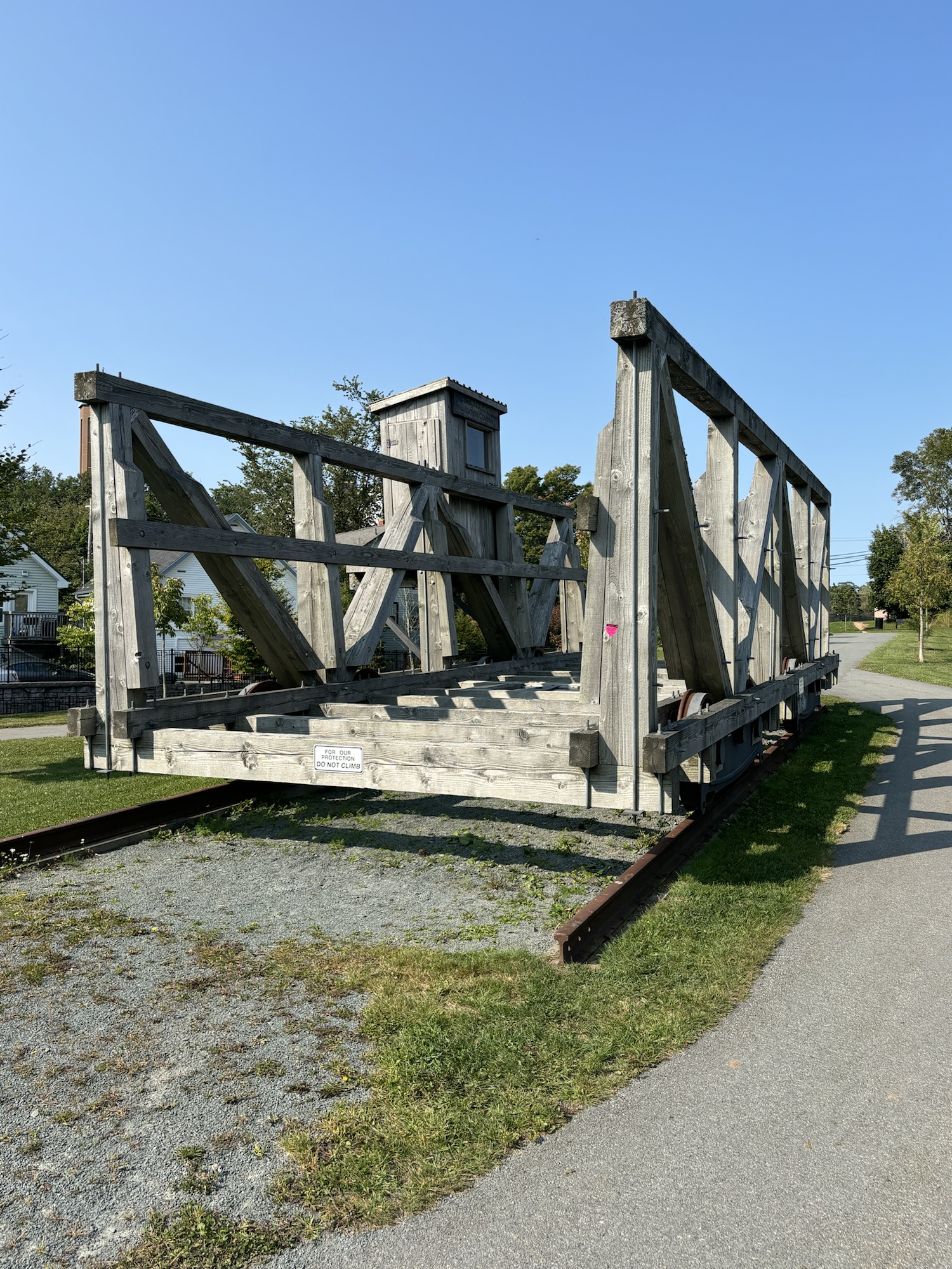
On the way back to the RV we stumbled onto a small park/museum that was showing how they had used a small train car to haul barges up to a canal using a water powered turbine to turn a huge pully and line. The most interesting part though was the fact the canal was part of the Shubenacadie River system. Remember the Shubie River on the other side of Nova Scotia? Well, look at a map and see that the river runs completely across the narrow part of the country. The canal allowed for transport of good from one side of the province to the other using the Shubenacadie River.
The native tribes had used the river for centuries but had to portage their canoes from the bay near Dartmouth to the Micmac Lake. In the 1800’s Scottish and Irish workers dug a canal from the lake to the bay. And later they installed this lift system to haul the barges eliminating 5 of the locks on the canal.

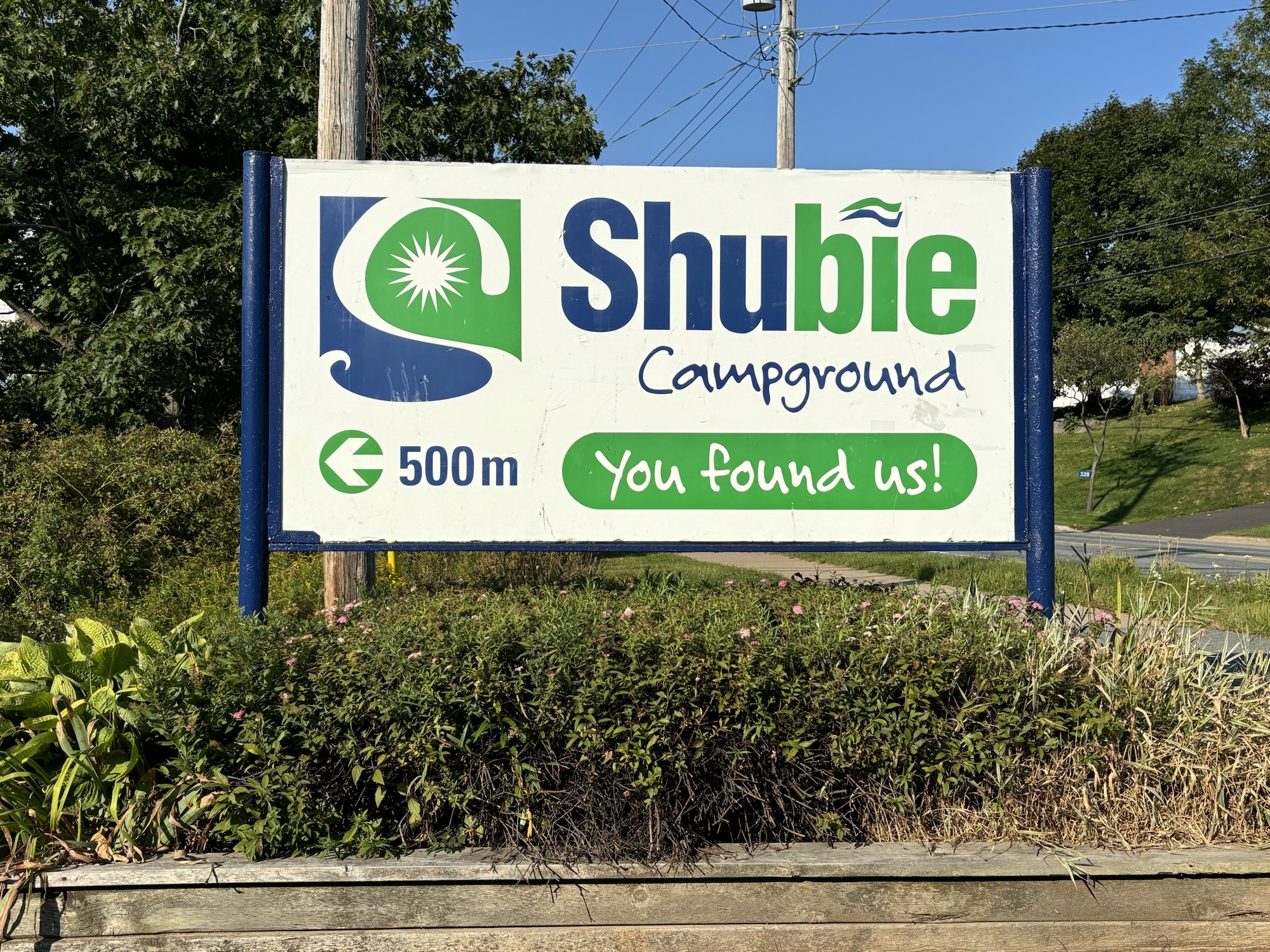
We had seen both ends of the river. And just to close this chapter, our RV park in Dartmouth was called Shubie RV Campground and was next to one of the canals. And so now you know the whole story! Now we were ready for another must do! Follow along.
