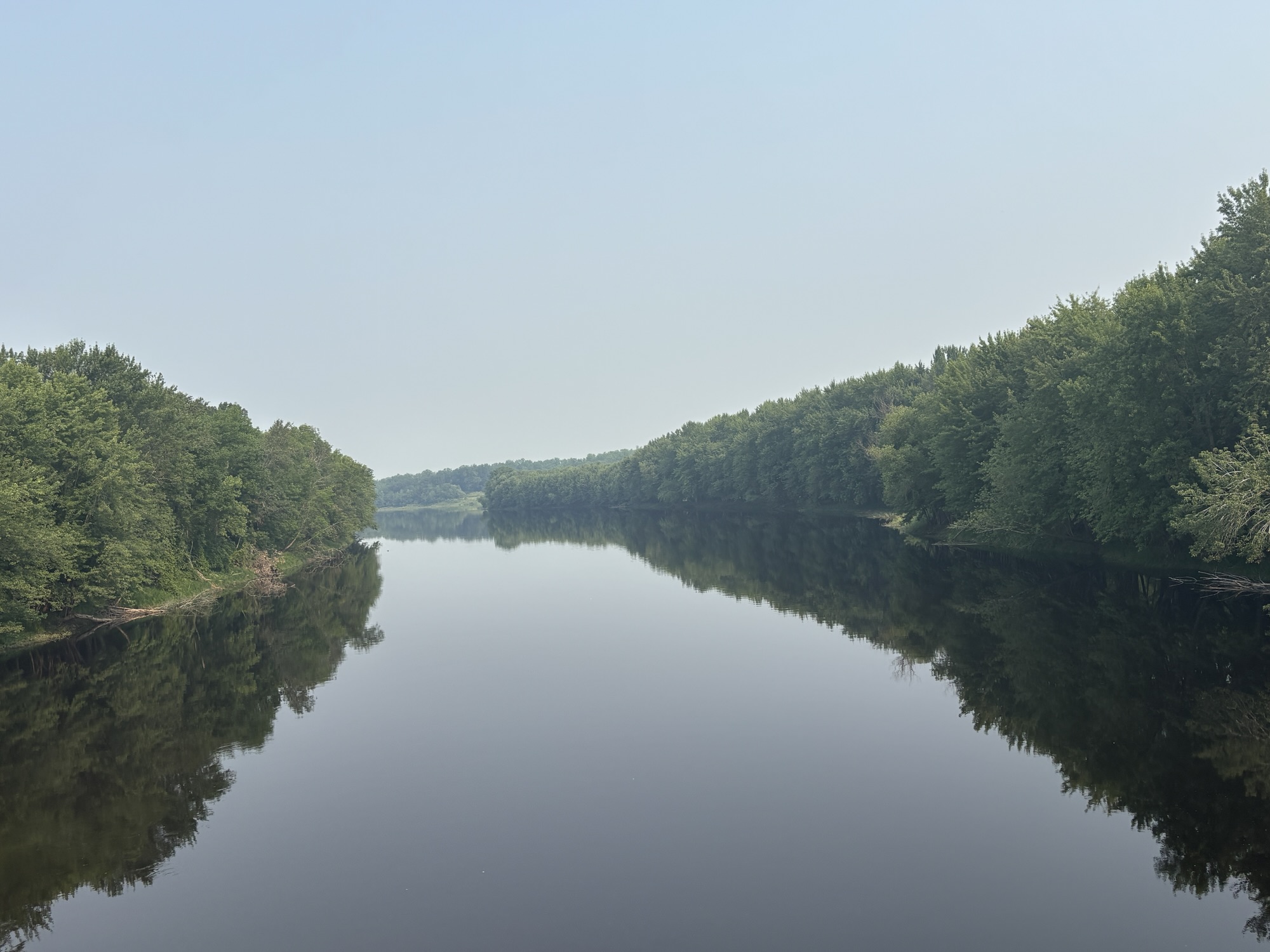
We left International Falls, MN early and drove along the Rainy River west. The river makes up the border with Canada at this point and the road snaked along the river as well. At most points you could not actually see Canada through the trees but there were also times when the homes and farms across the river were clearly visible. It was a nice scenic drive.
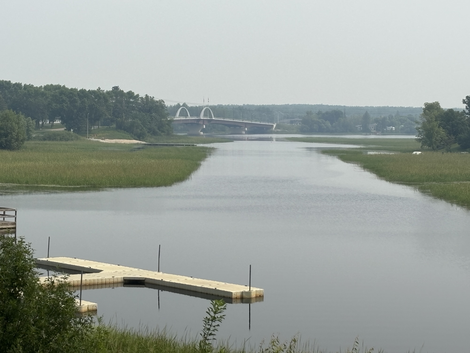
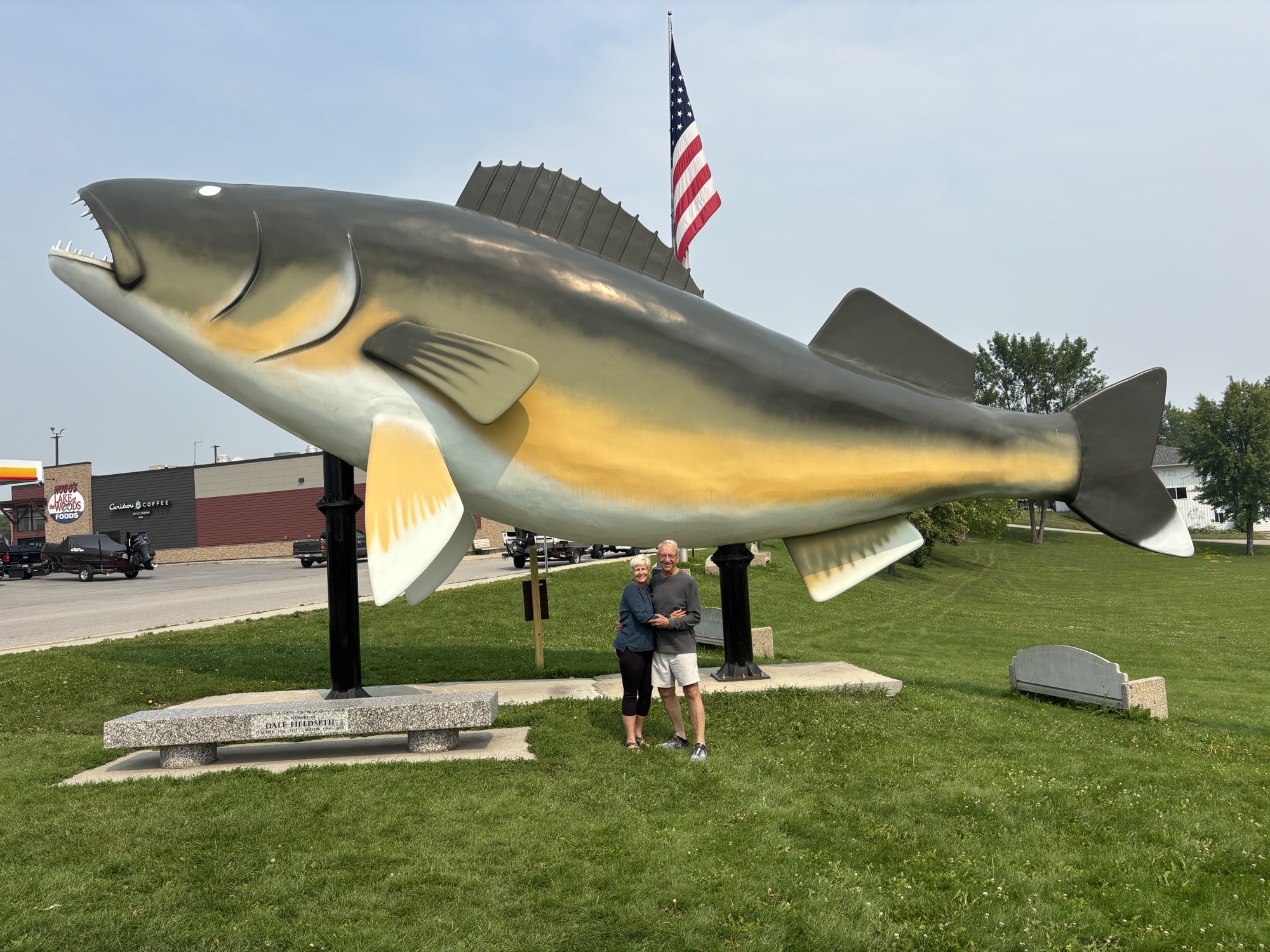
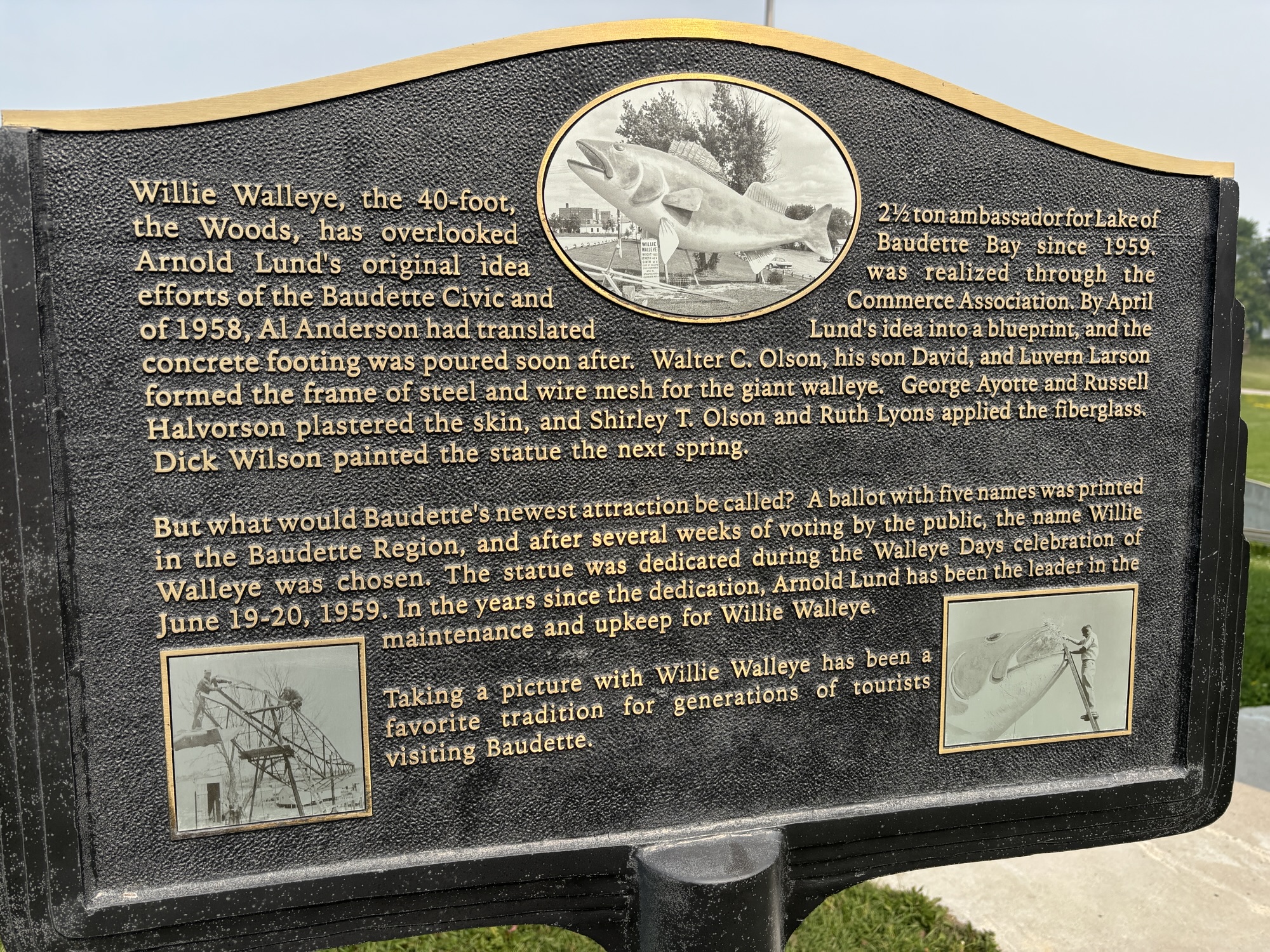
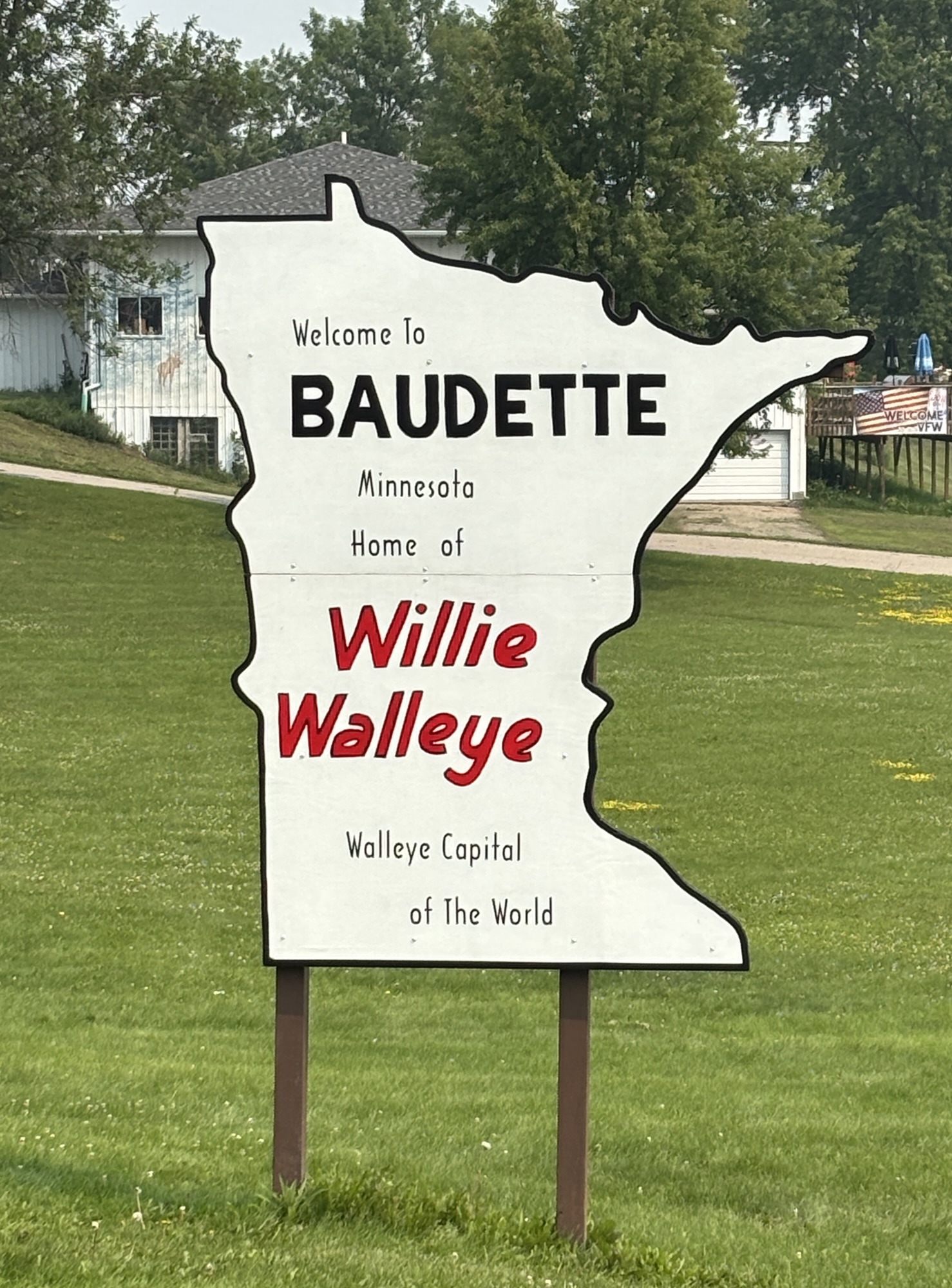
The river drive and the portion of the border runs out as the river connects to Lake of the Woods. The major town at this junction is Baudette, MN known as the Walleye Capital of the World and is famous for the giant statue of Willy Walleye. You just have to stop. The Rotary Club even put a tripod and camera holder in the park for people to take selfies with Willy. Check out the link for the whole story.
We actually took our pic the old fashion way by getting someone to take ours and then taking their photo in return!
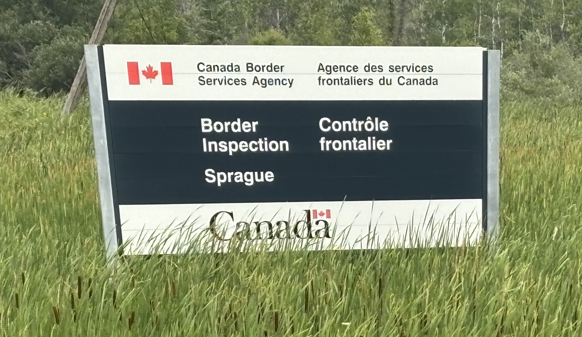
Then on up Hwy 11 to the town of Warroad, MN and north onto Hwy 313 to the border crossing into Canada. The guard came out to the RV, and I showed him our passports. He asked a couple of questions and let us through. Not too busy a crossing as you might expect. Easy.
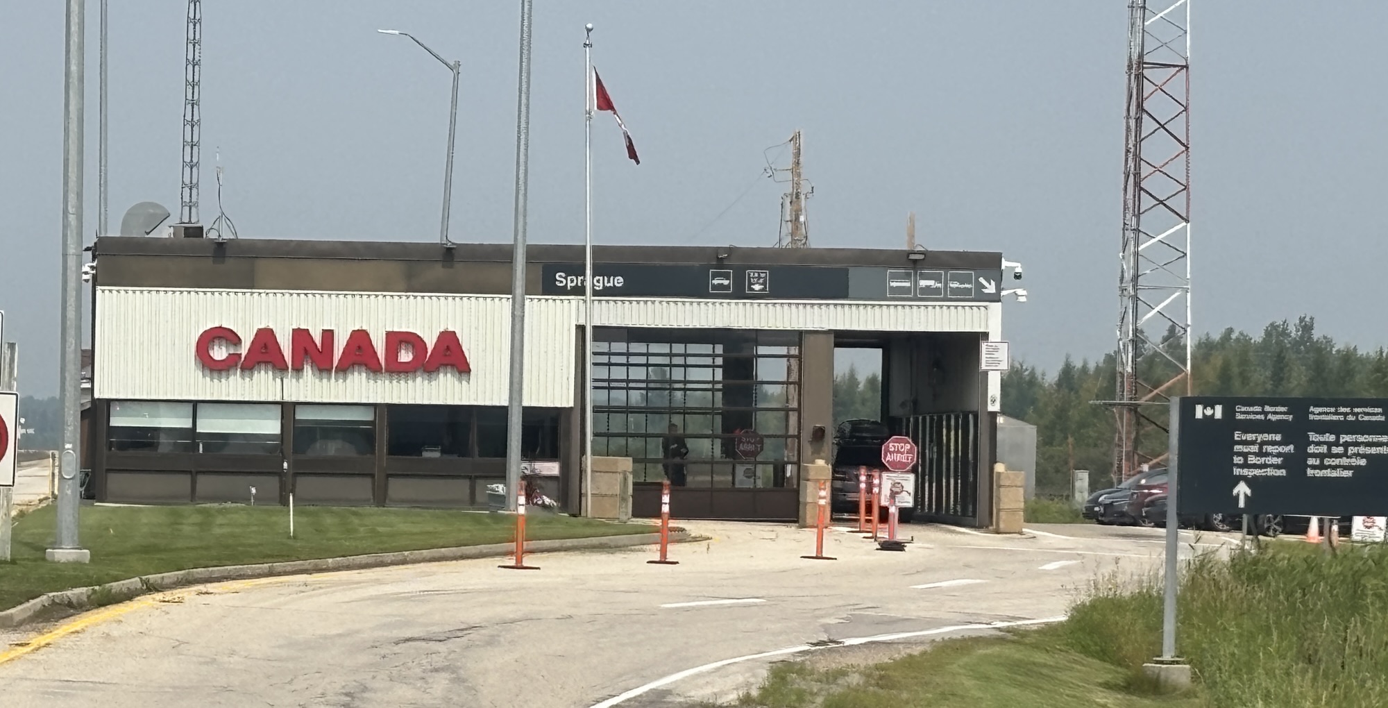
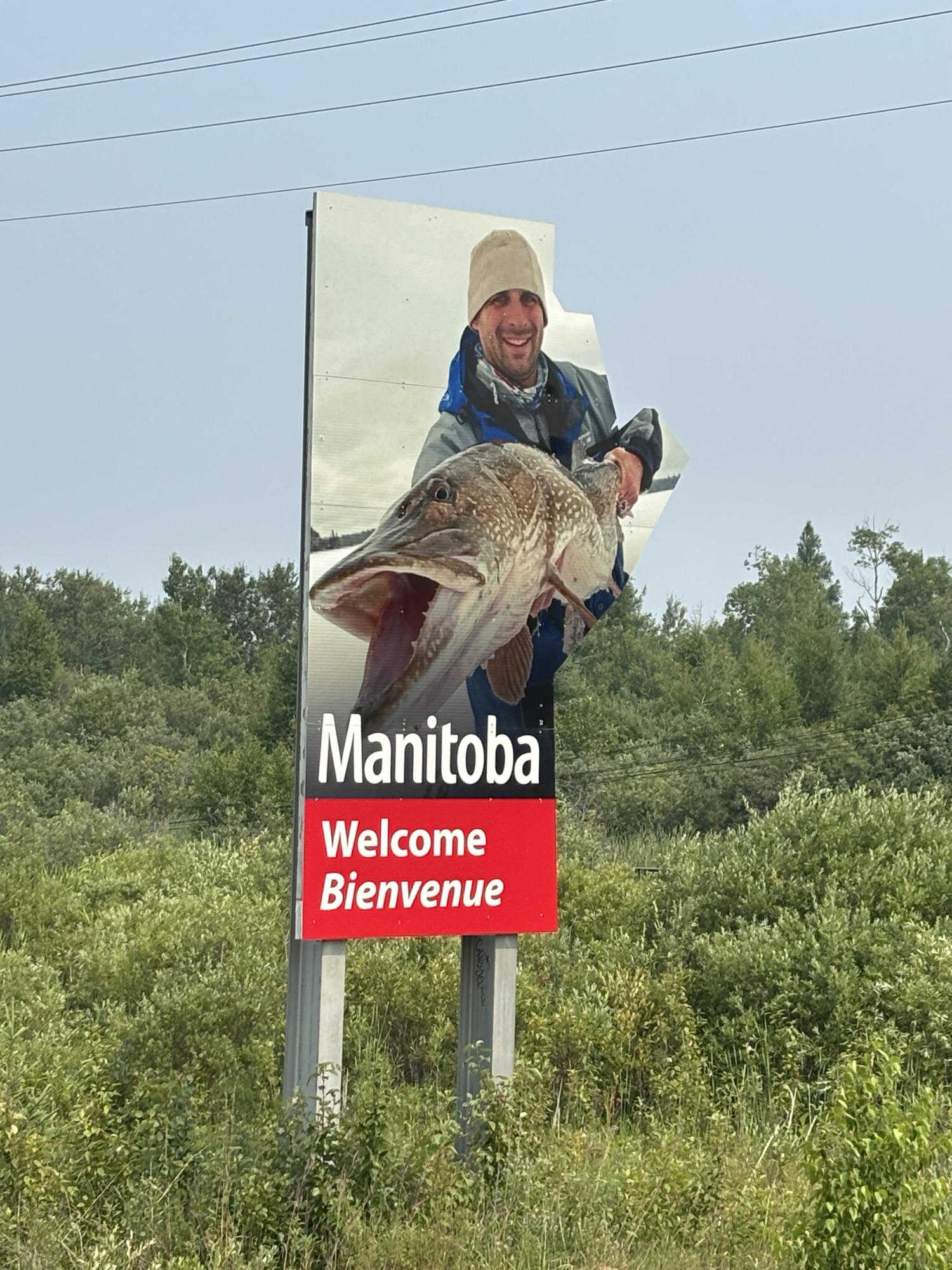
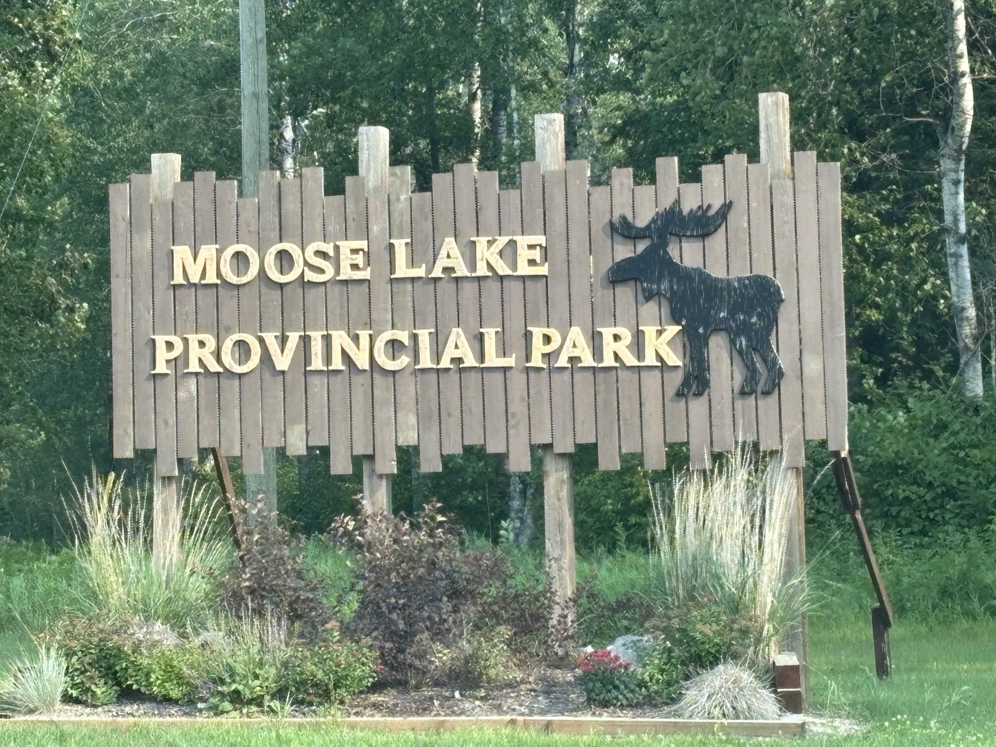
We headed to our campground just a few miles passed Sprague, MB, the first town you come to in Manitoba (and a new province for us). We had booked a spot at the Moose Lake Provincial Park for one night. Got checked in, headed to the pad and unhooked the Jeep.
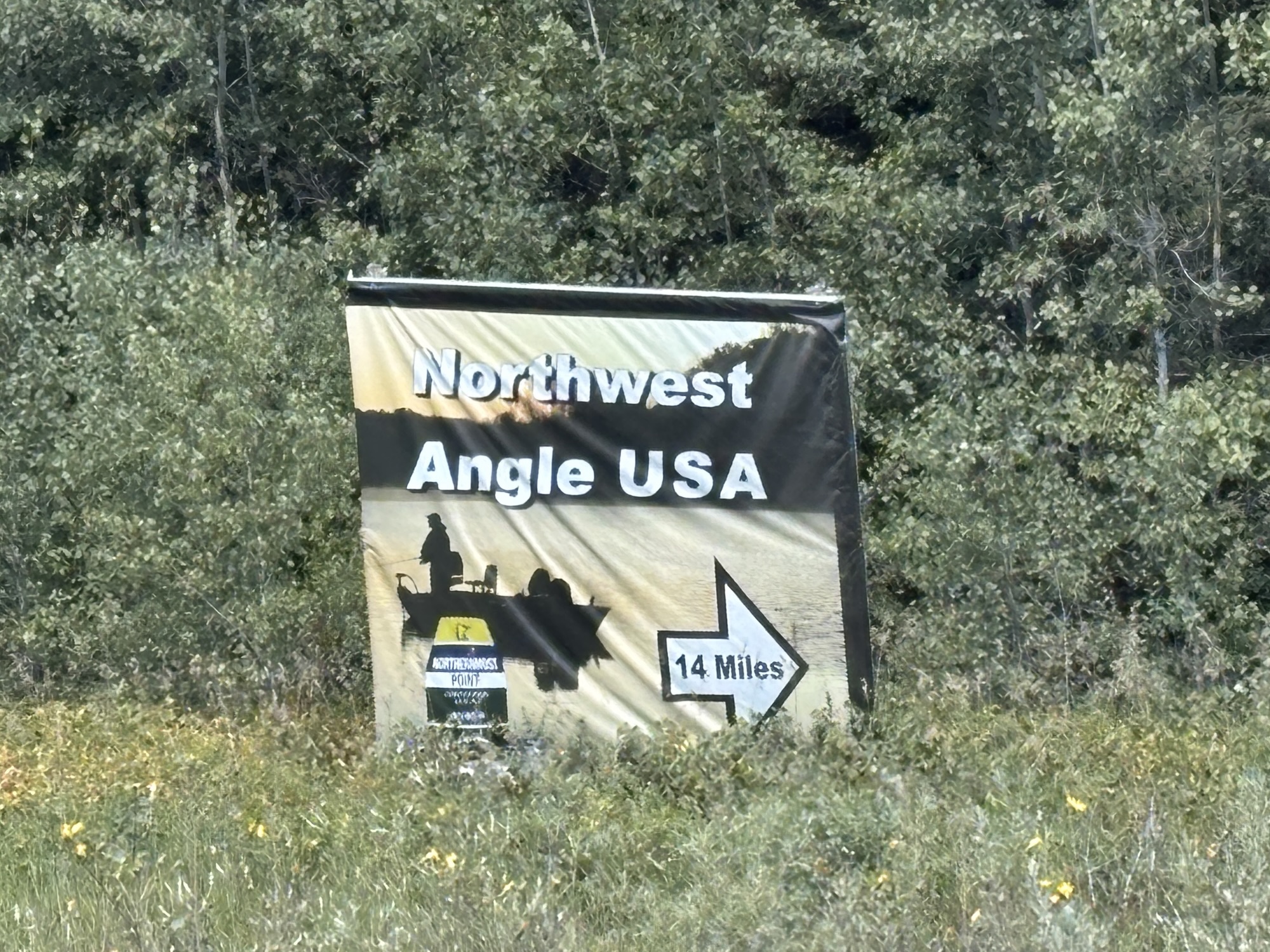
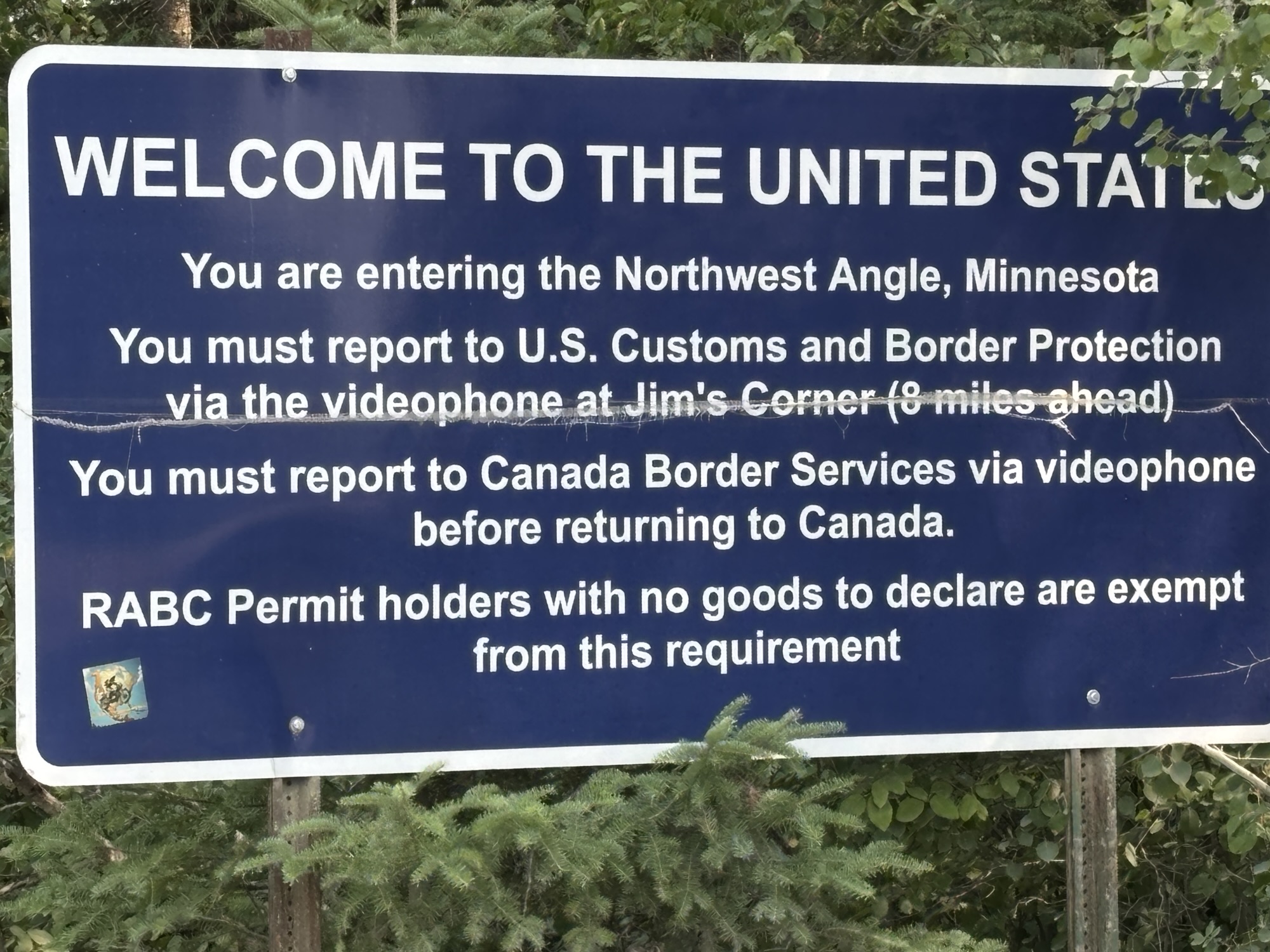
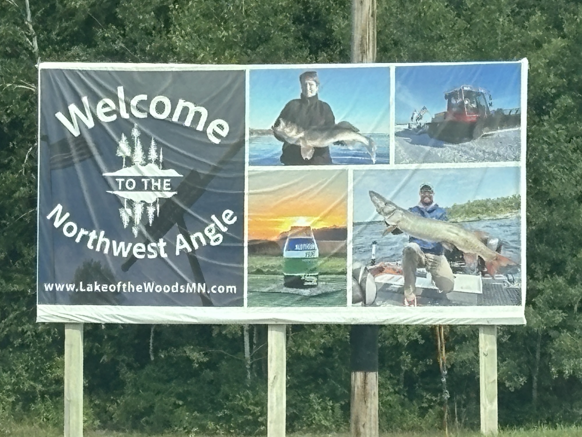
Since we only had brief stop planned, we hopped into the Jeep and headed to Angle Inlet, MN or as it was called historically, Northwest Angle. That’s right. And where is Angle Inlet?
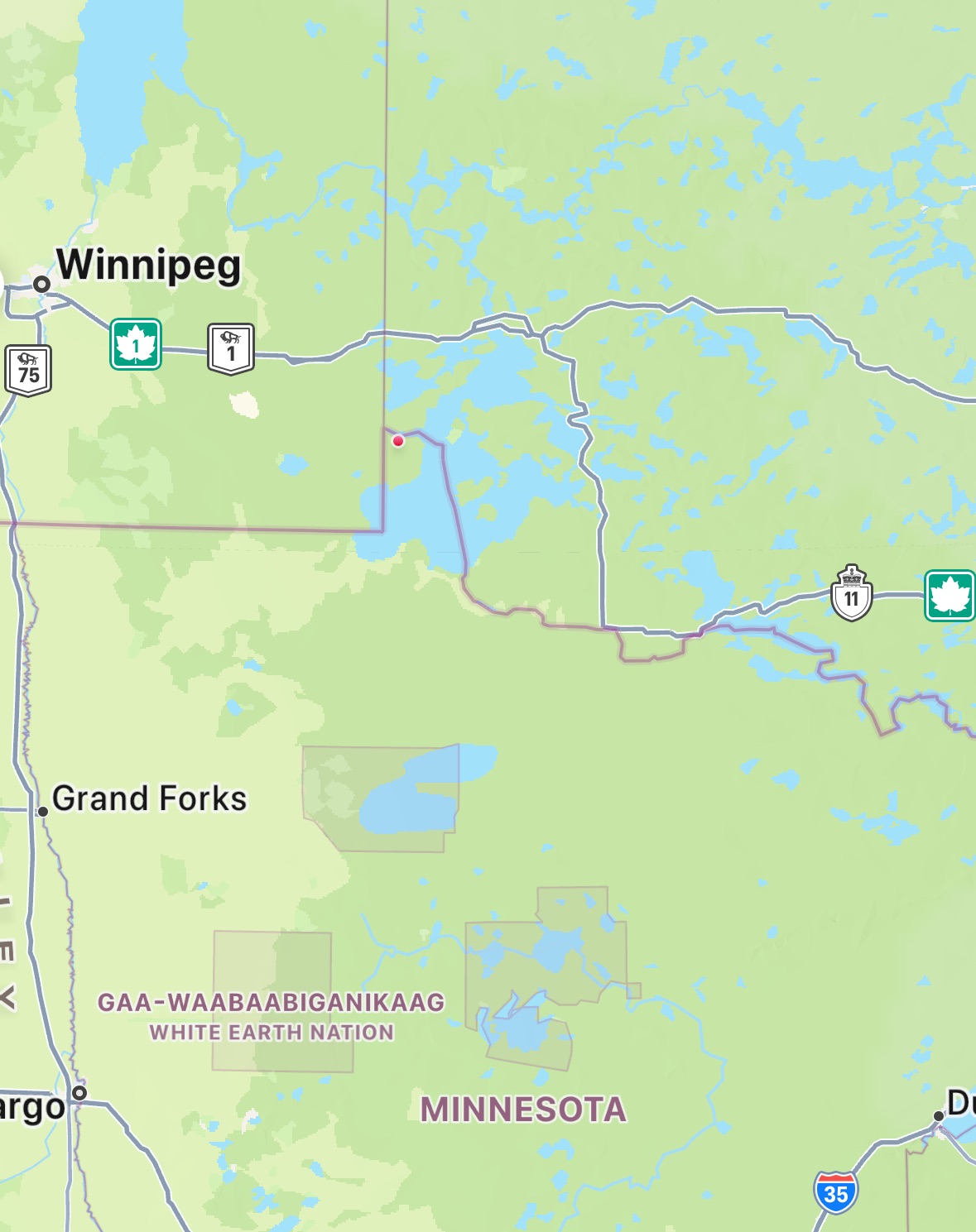
Angle Inlet is in the US but separated from the border by Lake of the Woods. Remember, the Rainy River runs into the Lake and the border extends up through the middle. But there is a spit of land that, by the original border placement agreement, is north of the lake but inside the US. Check the link for more information.
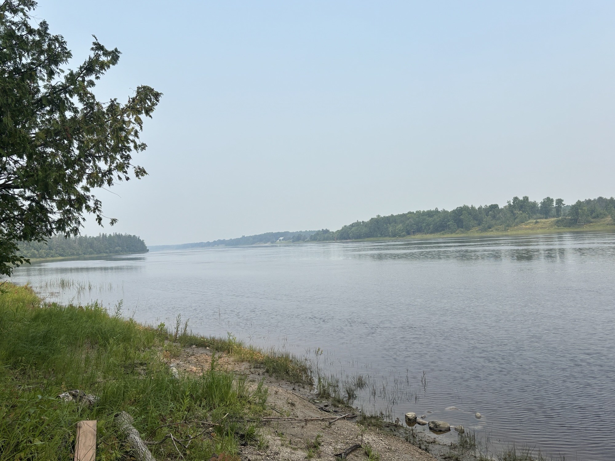
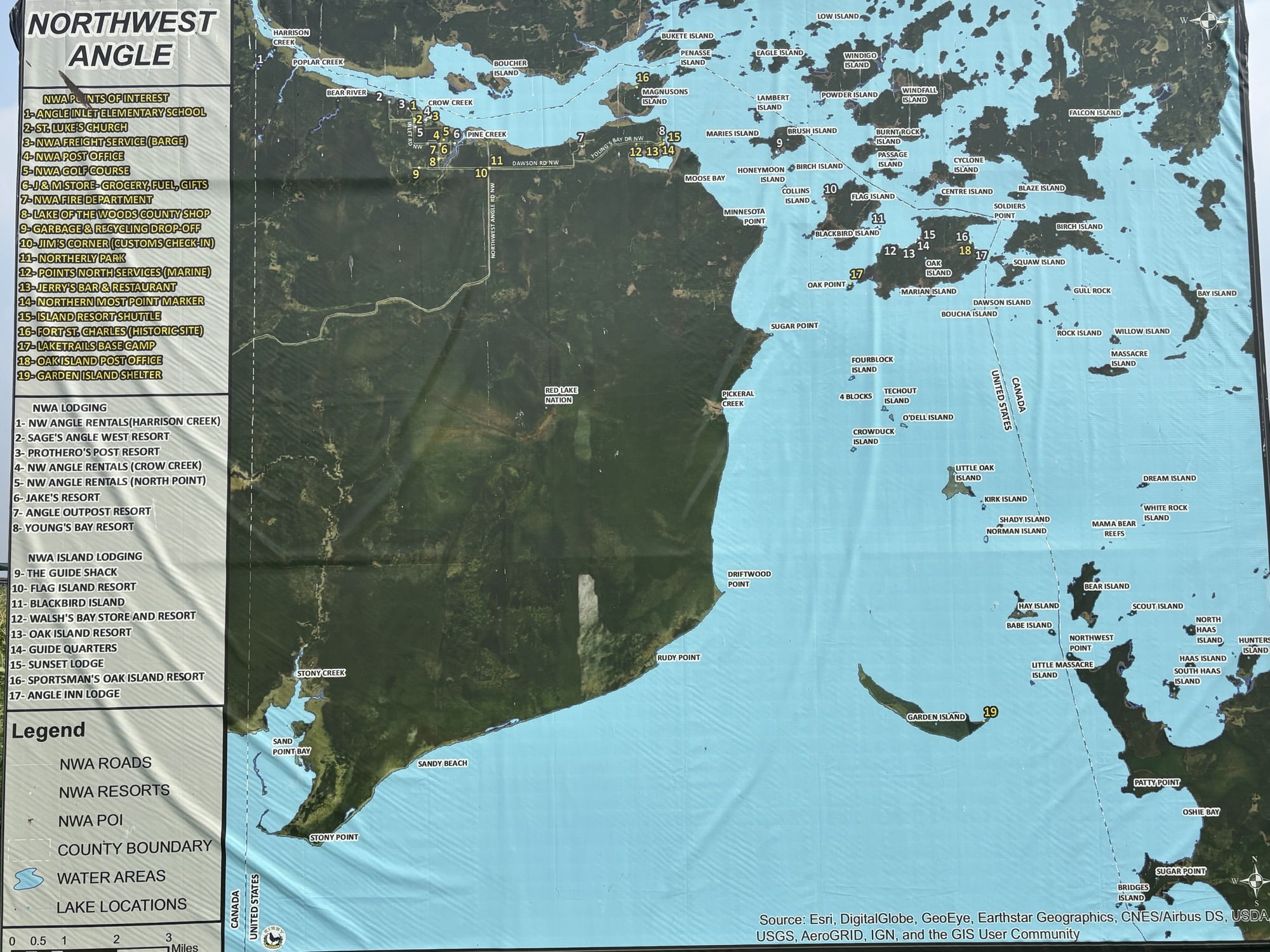
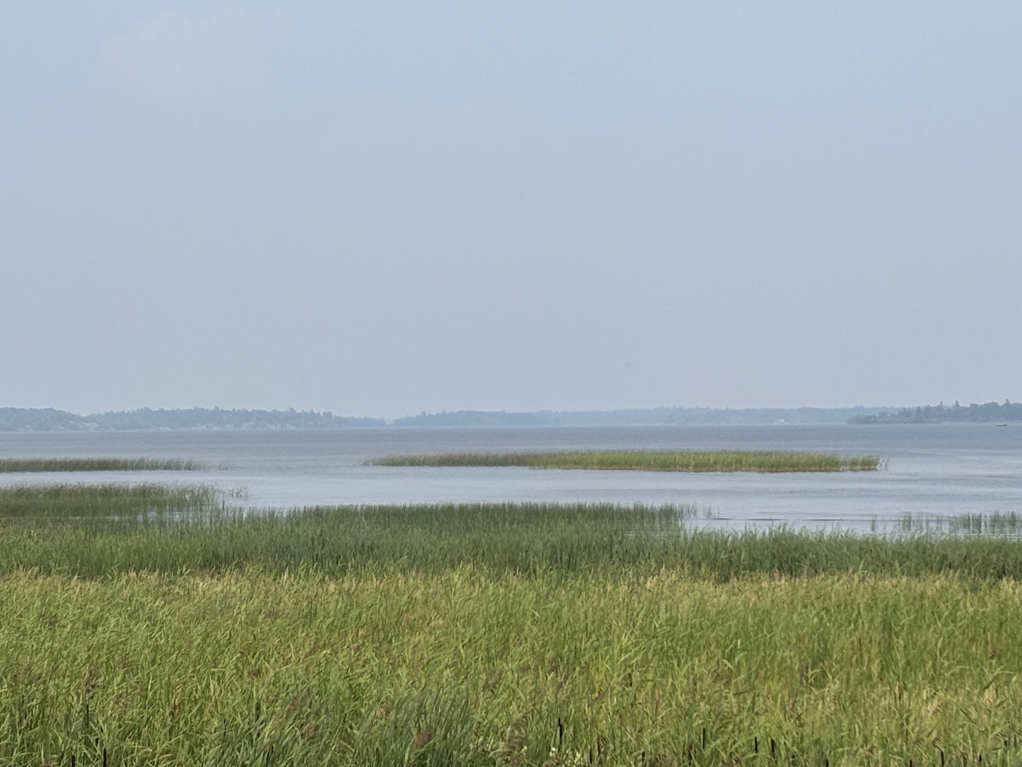
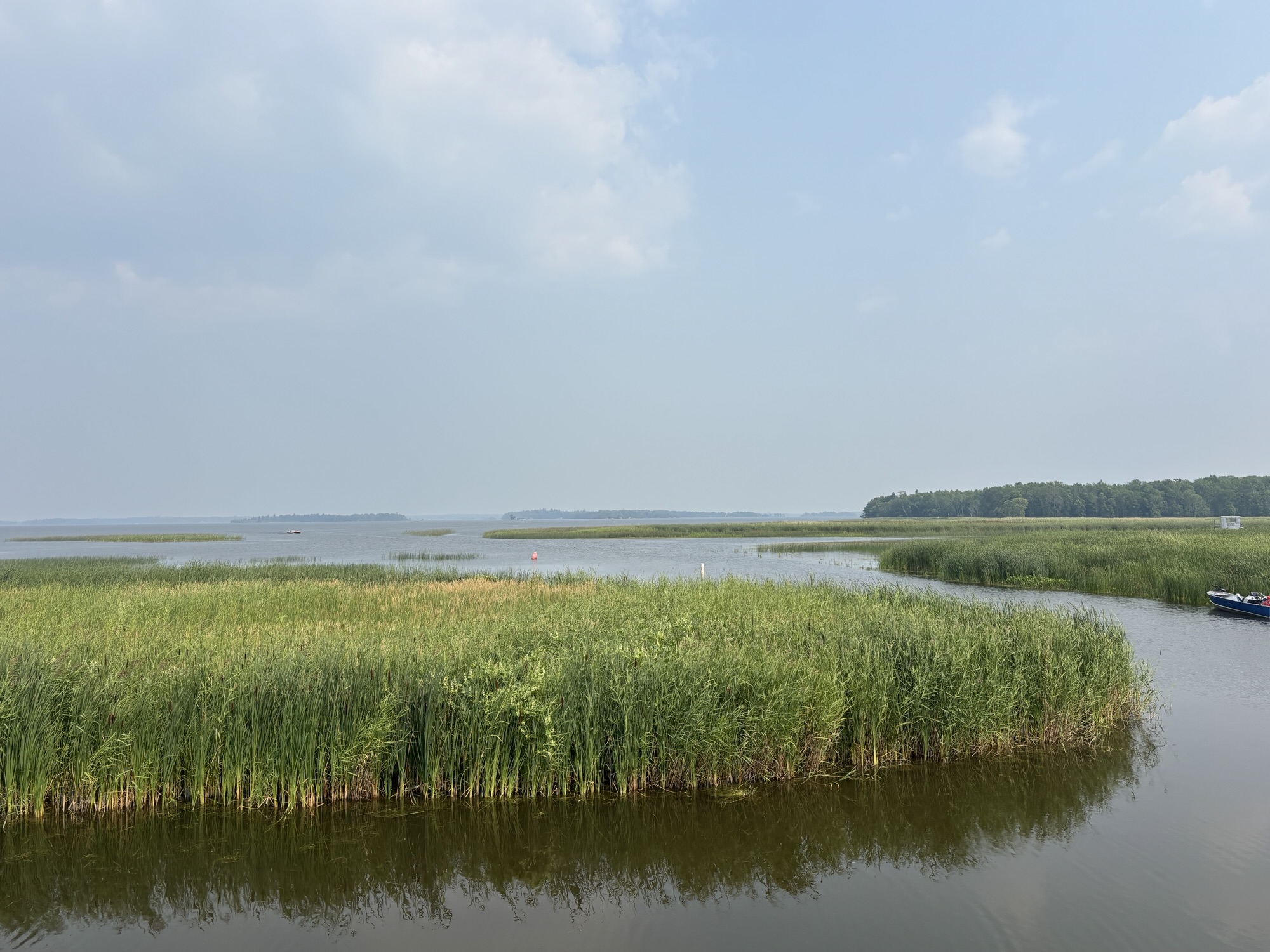
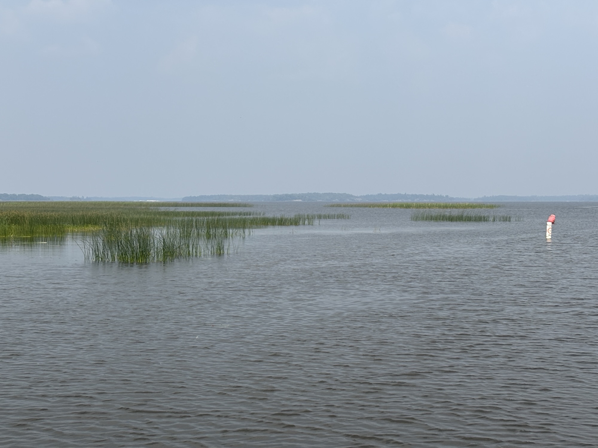
This area is a major fishing spot as you might expect and there about 900 islands between the Canada and US portions of the lake.
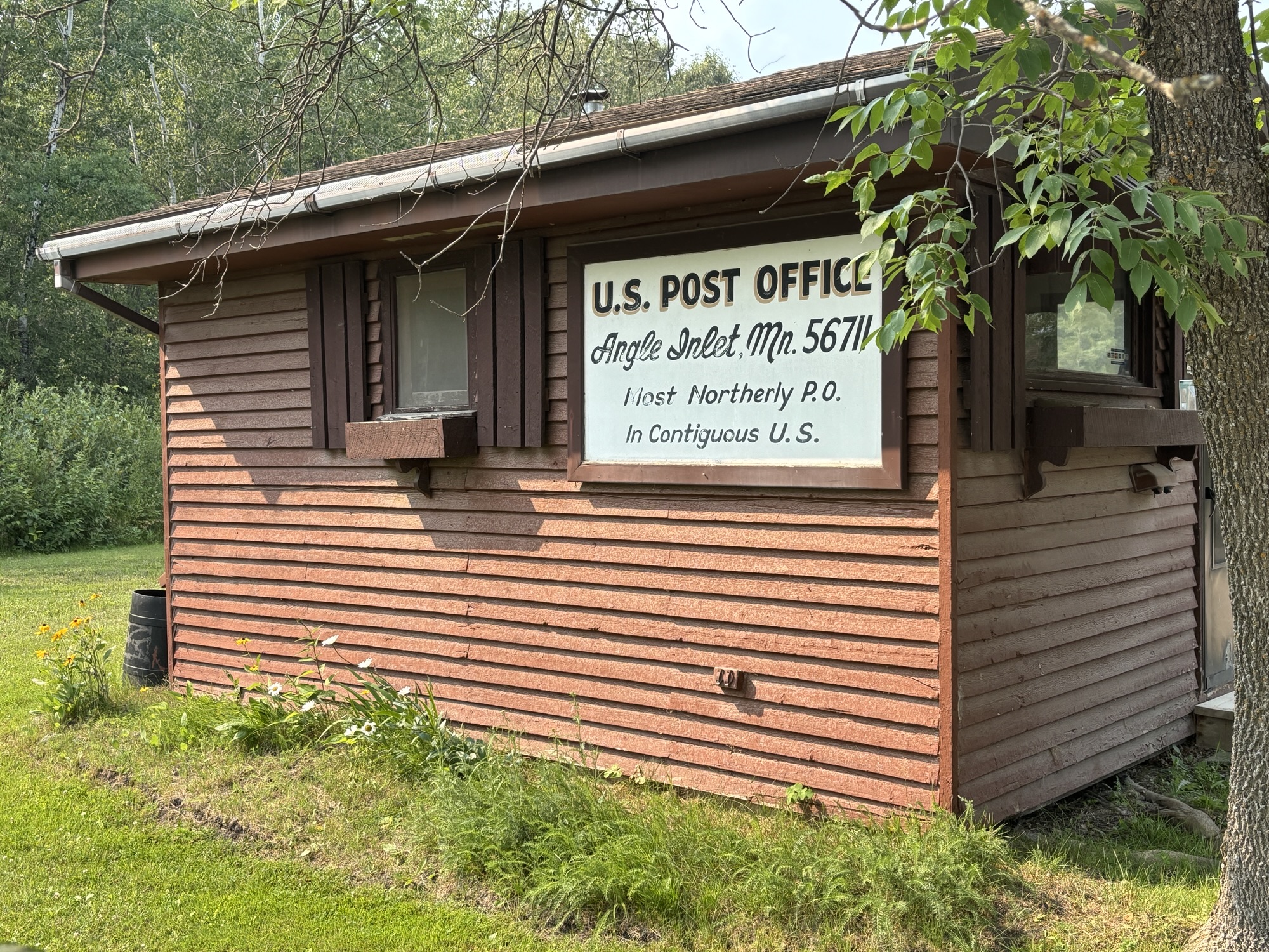
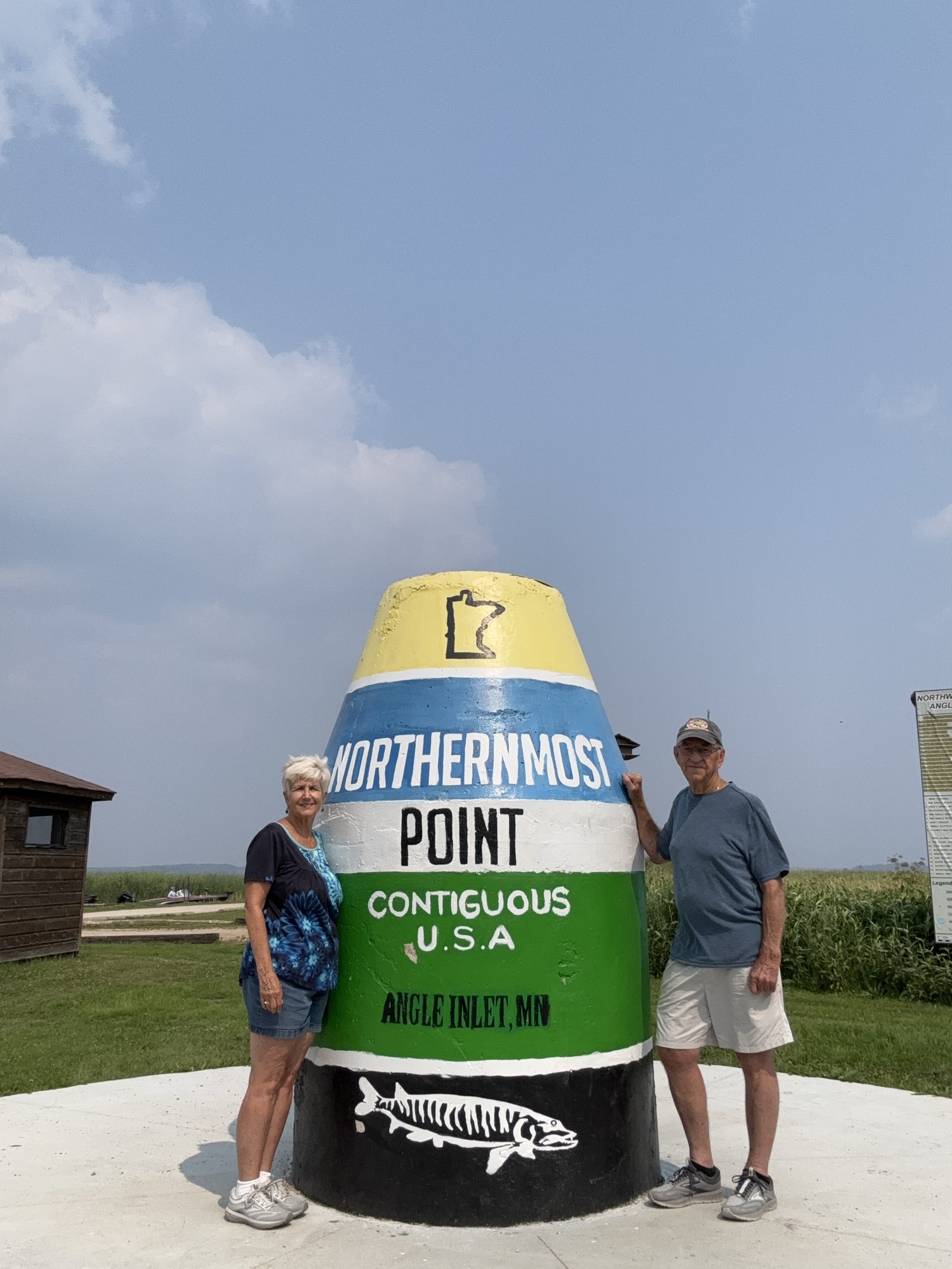
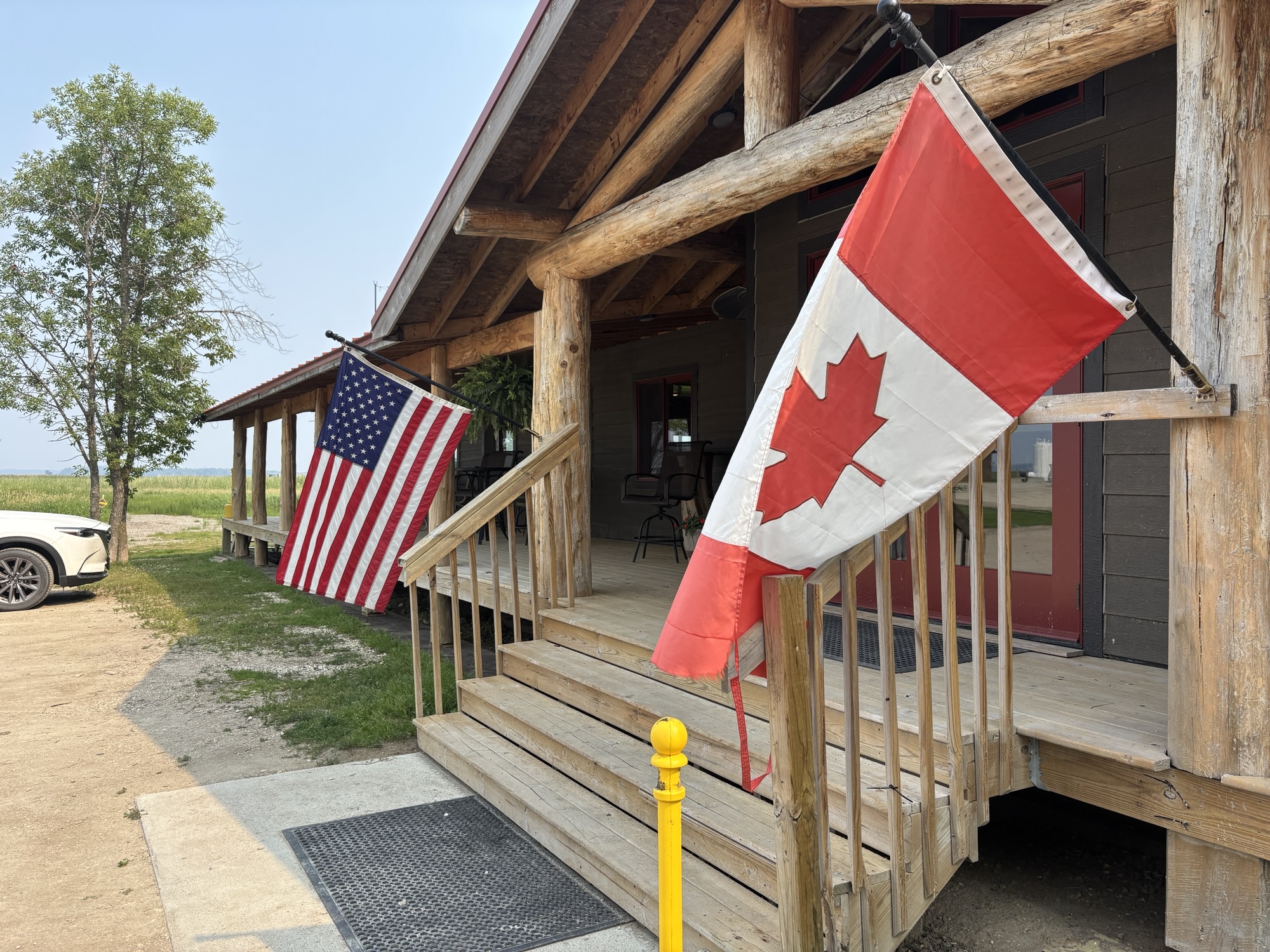
And there is a special monument, shaped like the buoy one everyone knows in Key West, FL, that you see on TV during all the hurricane coverage, that declares that Angle Inlet is the most northern point in the contiguous United States. And it is simply because there are no other towns located above 49 deg N latitude (except of course in Alaska, but that’s not contiguous) which are located the northern border latitude between the US and Canada. But there is a post office!
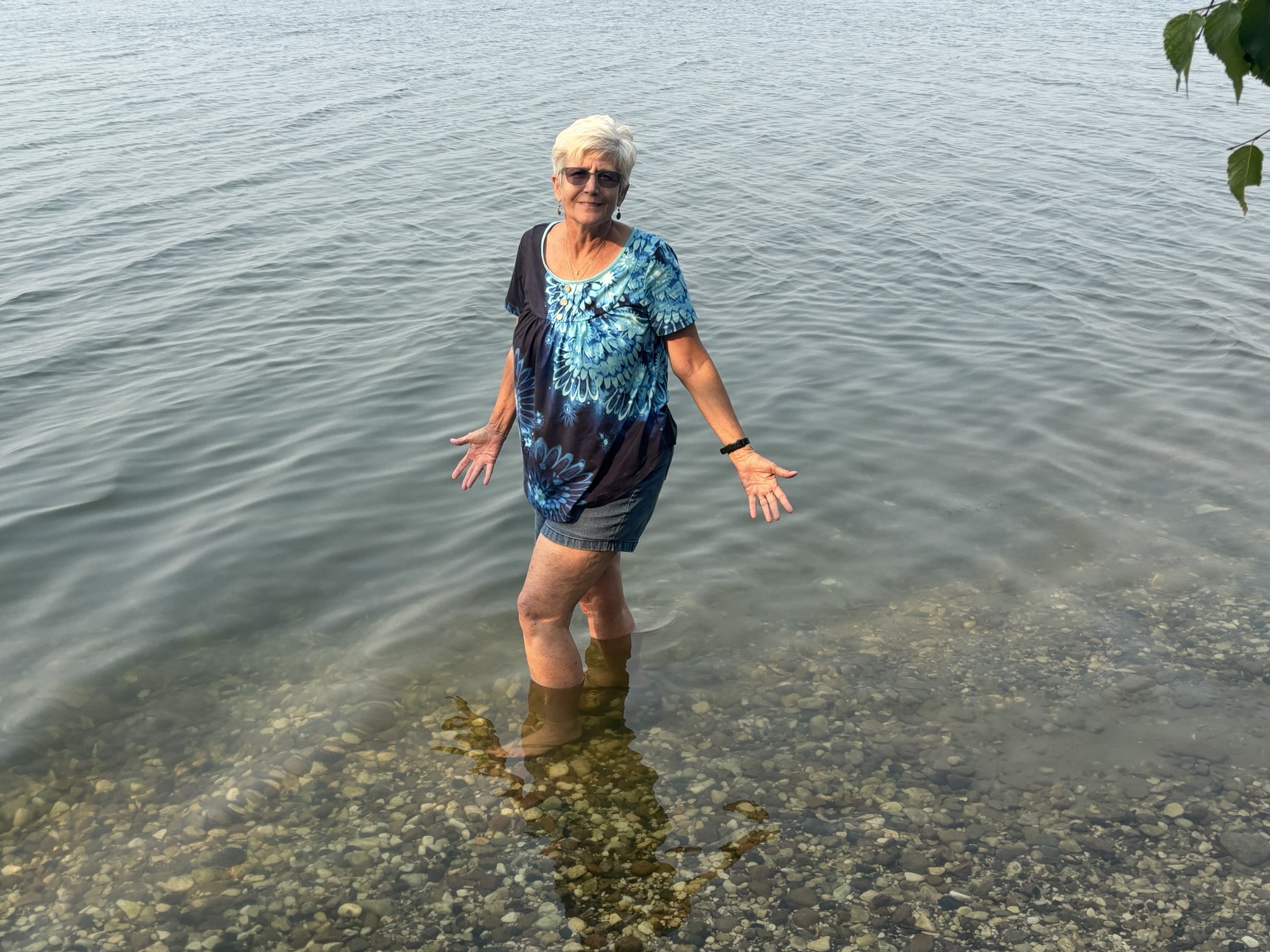
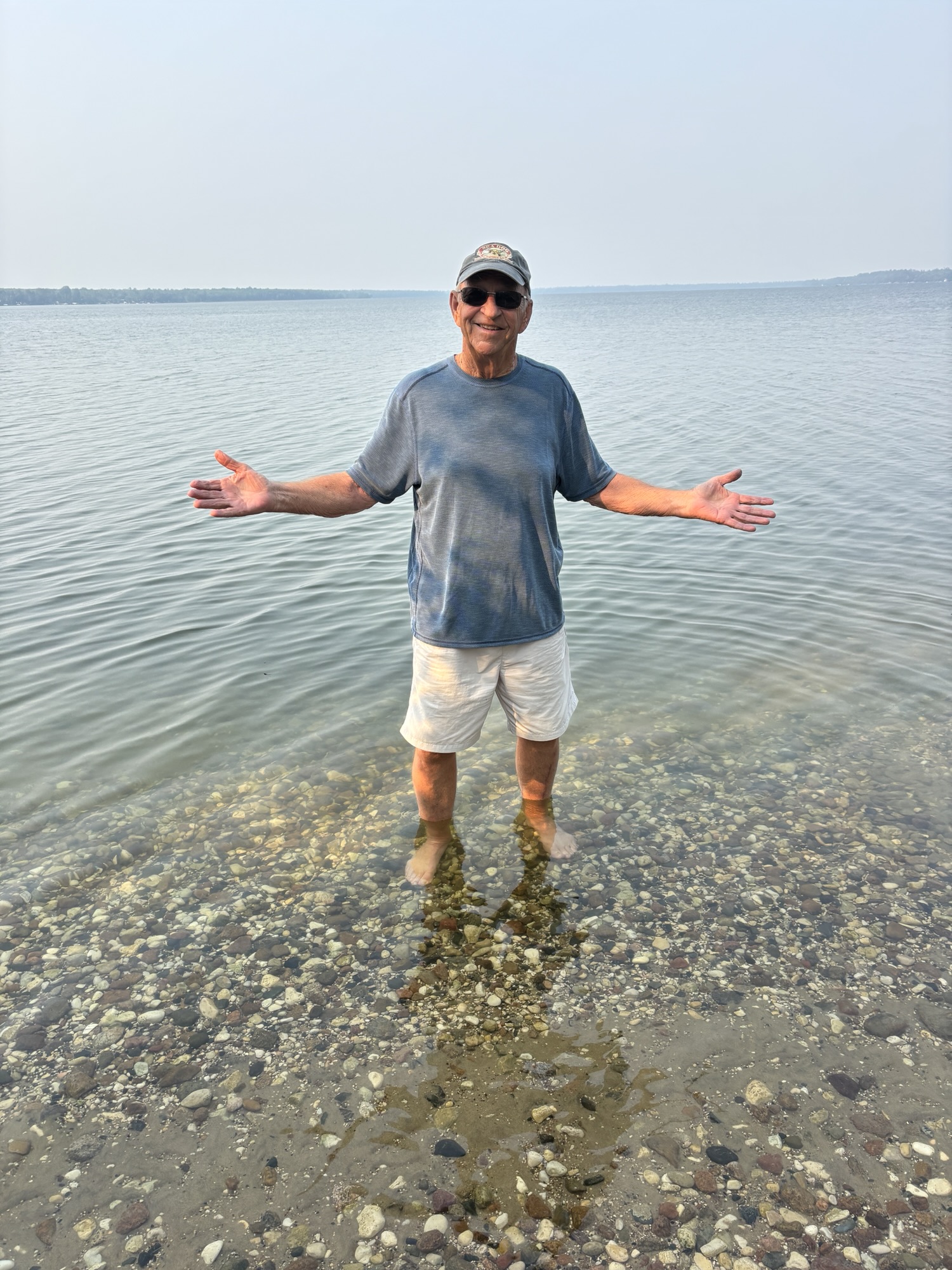
So, like going to Key West to take a photo at the southernmost point, we wanted to do the same thing here at the northernmost point.
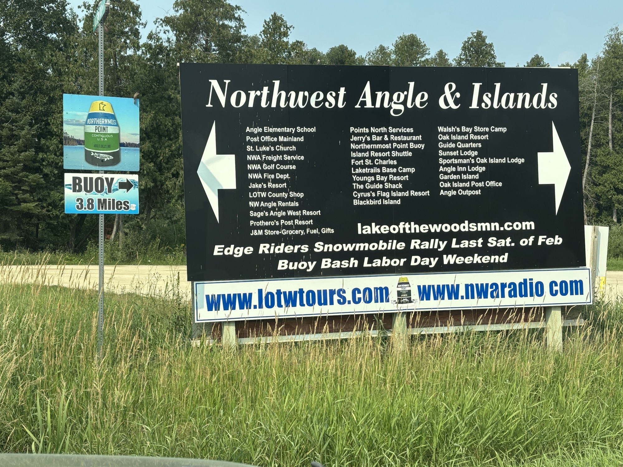
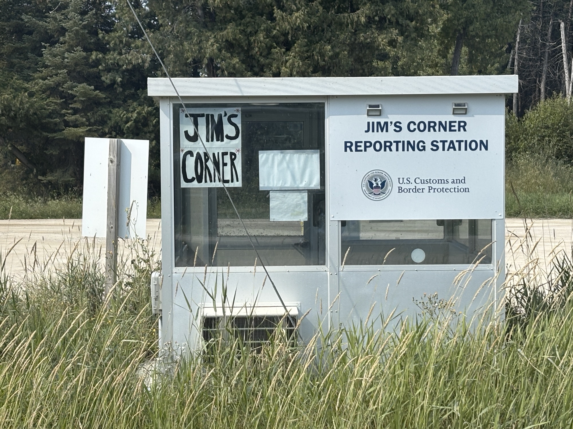
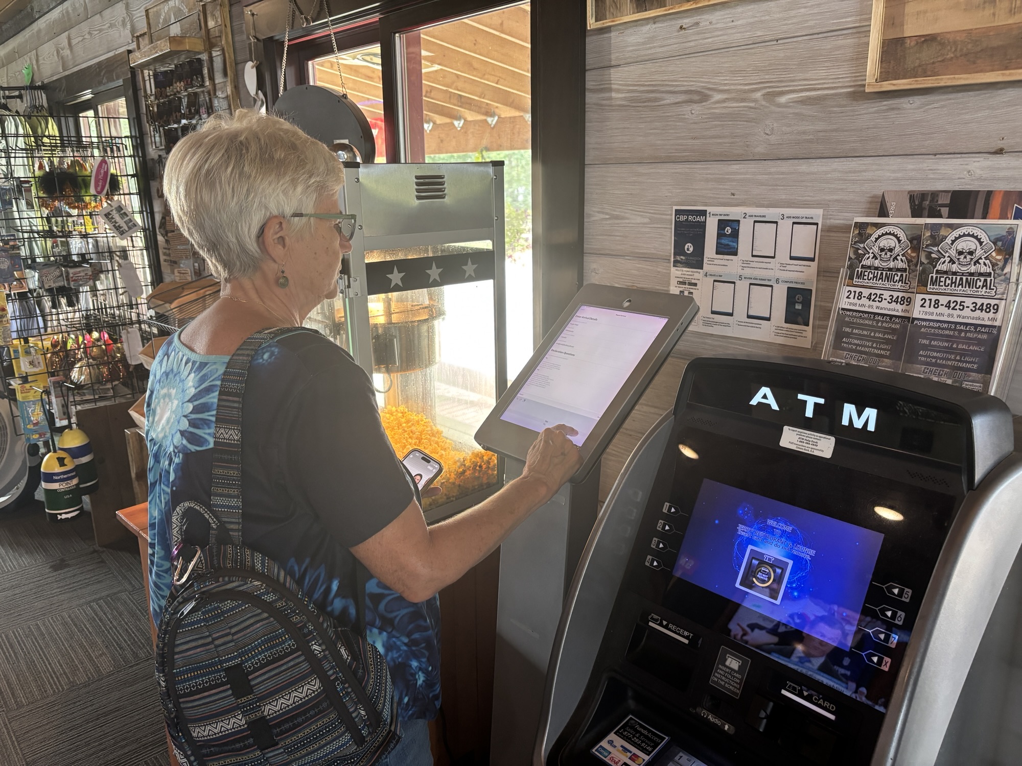
But….to get there you go north from the RV park for a few miles then travel about 14 miles on a gravel road. And when you arrive, you must “clear in” with US immigration. The first stop is Jim’s Corner, a booth at the intersection of the main roads. There is no manned booth, of course. There is a log in process, but the system was not working. Gail had the CPB Roam app on her phone but there was no phone service. So, we drove further to the Young’s Bay and, at the restaurant, found the CPB iPad and did it manually. We were legal again and back in the US even though we had just “cleared out” about an hour ago.
We took our photos (really cool), checked out the marina, talked to a few people about fishing and life in the area and, after an hour or so, we were ready to go.

But now we had to “clear in” to Canada again even though we had just cleared out about an hour ago. So… We found the phone booth with a direct line to Canada Immigration and called. We got a very nice agent on the phone who proceeded to ask us all about our travel plans and itinerary! More than anyone had ever asked. But in the end, he welcomed us, and we headed back down the dirt and gravel road to the RV park!
When we got back to the RV, we decided to drive through Moose Lake Provincial Park which is a long narrow park along the lake and then on out to Birch Point Provincial Park which is about 10 miles down yet another dirt road. The park is on the Lake of the Woods, but looked unused.
Next day we were off to Winnipeg, MB and the rest of the southern Canada prairie. And we felt good about checking out this little (and little known) town in the US. Pretty amazing!
So come along now for our discovery of Manitoba and Saskatchewan.
