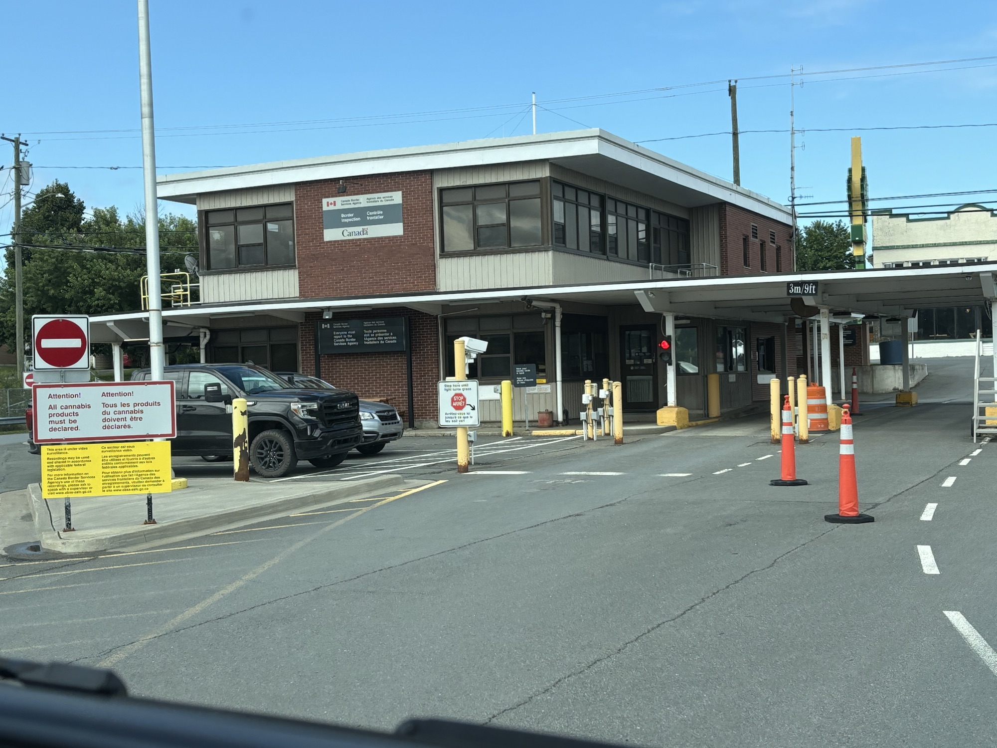
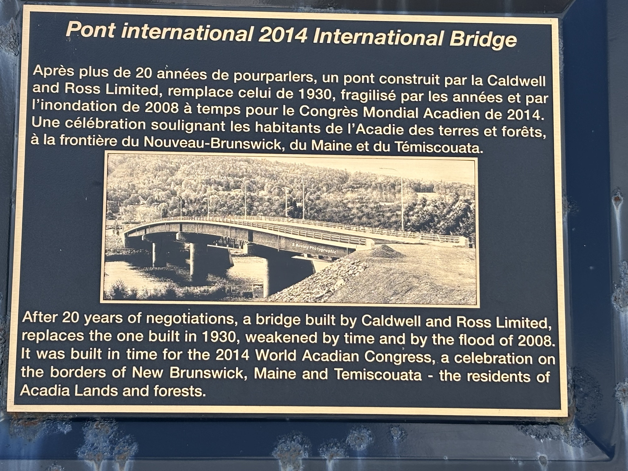
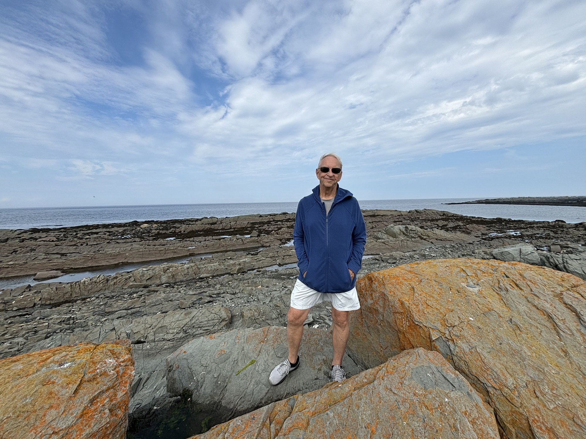
Having seen the end of US1 and the International Bridge, we knew where to go and what to do to clear into Canada. We took off early and made it to the bridge with no problem. In fact, we were the only ones there. We couldn’t fit under the drive through, so we parked to the side, got out and walked to the window. We answered a few questions, showed our passports, and the agent said, “Welcome to Canada”.
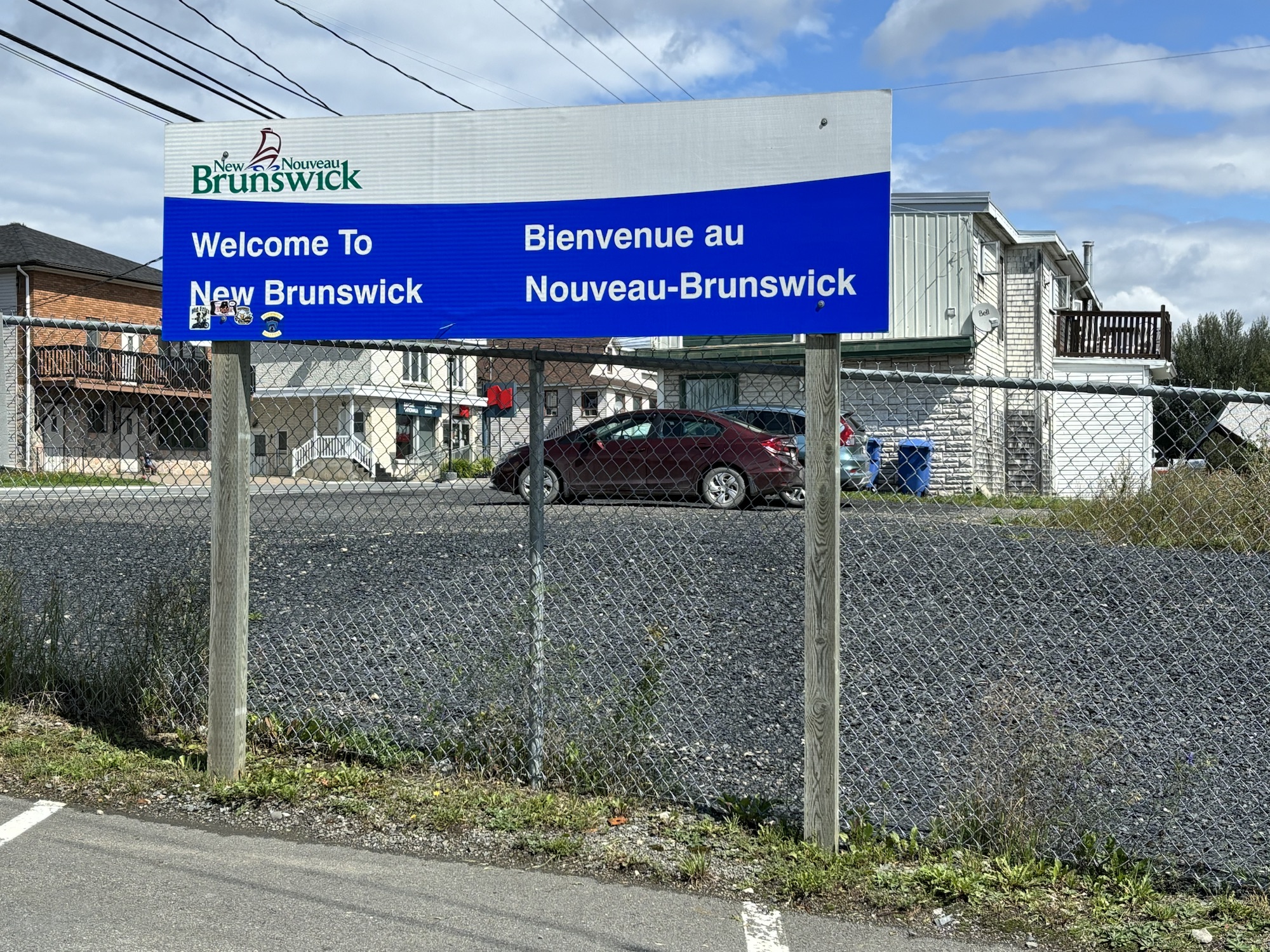
We headed out due north. The first town is Clair, New Brunswick but it is small and soon we were out of town. In fact, of the soon we were also out of New Brunswick. The small neck province is only about 20 miles wide and it is in the Atlantic Time Zone (which was a bit of a surprise!) But in 20 miles we had made it to Quebec and back to Eastern Time Zone. And everything was now in French.
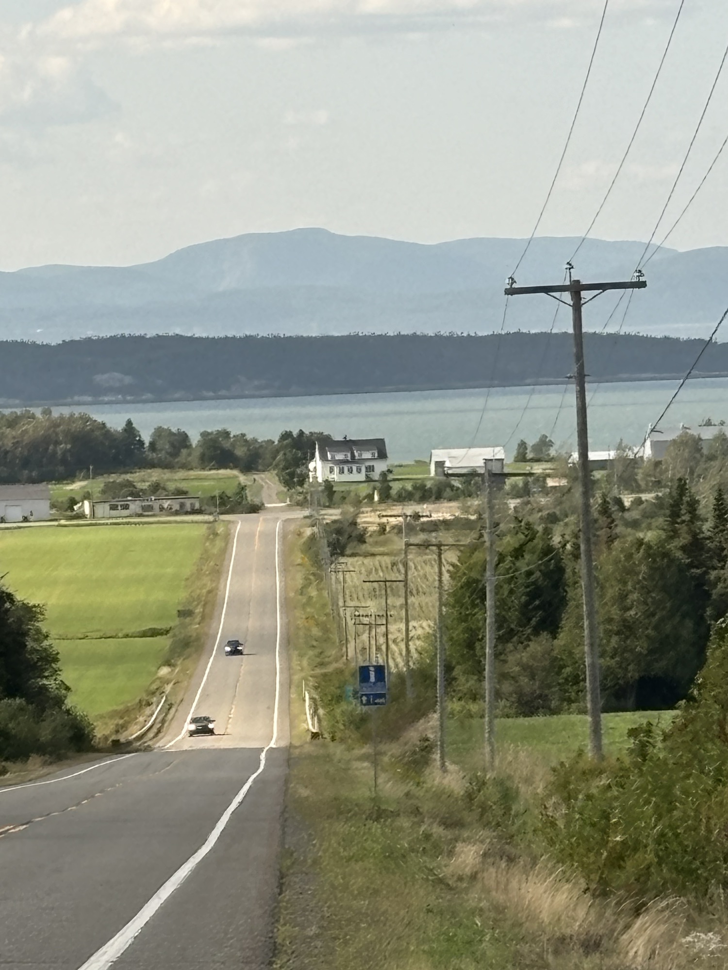
We were planning to drive the entire coast of the Gaspe Peninsula and had picked a small town and RV Park to start. The town was Saint Alexandre-du-Kamouraska (doesn’t really sound French, but..) and it was smaller than its name! The larger town next door is Riviere-du-Loup. The RV Park was nice. We had a small problem with the power breaker but all was fixed quickly and we went to get some Canadian dollars, go for a walk on the water front and restock on some groceries. Good start.
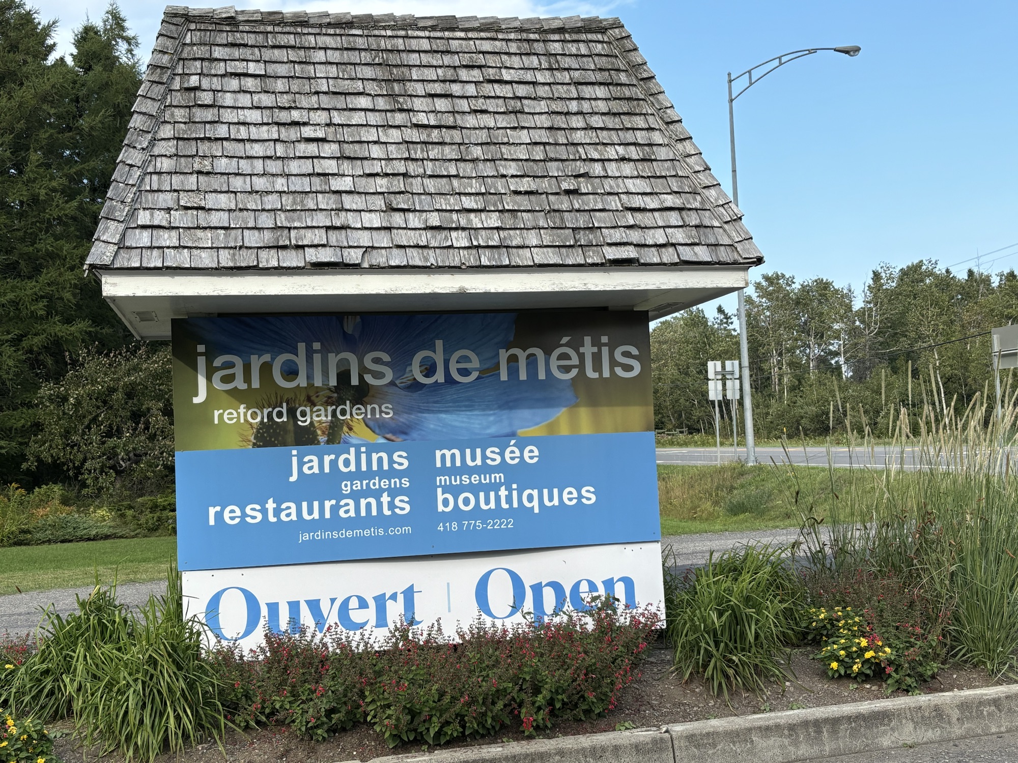
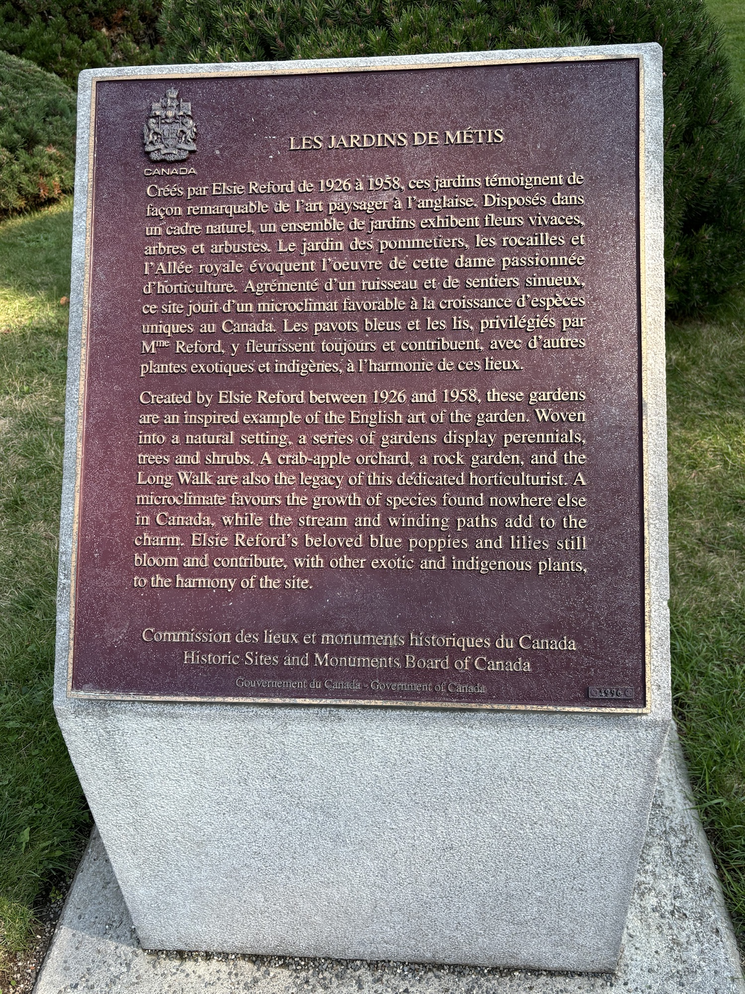
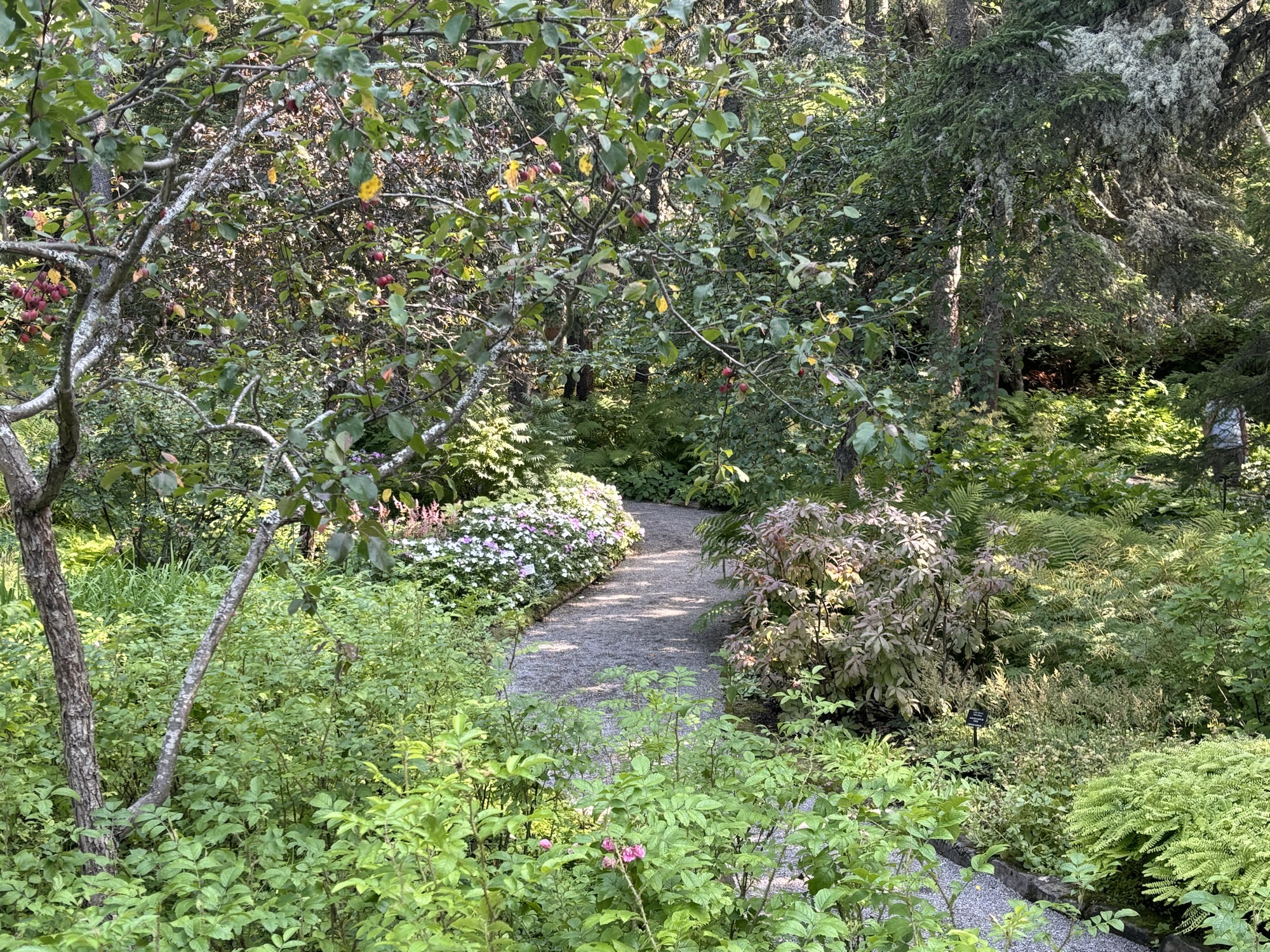
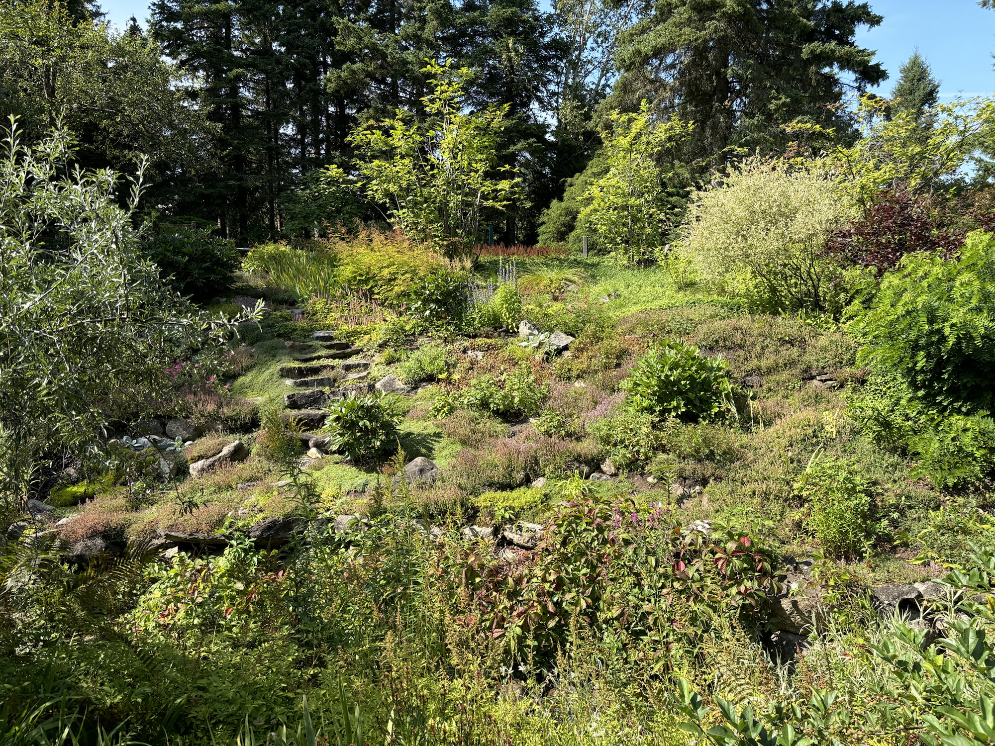
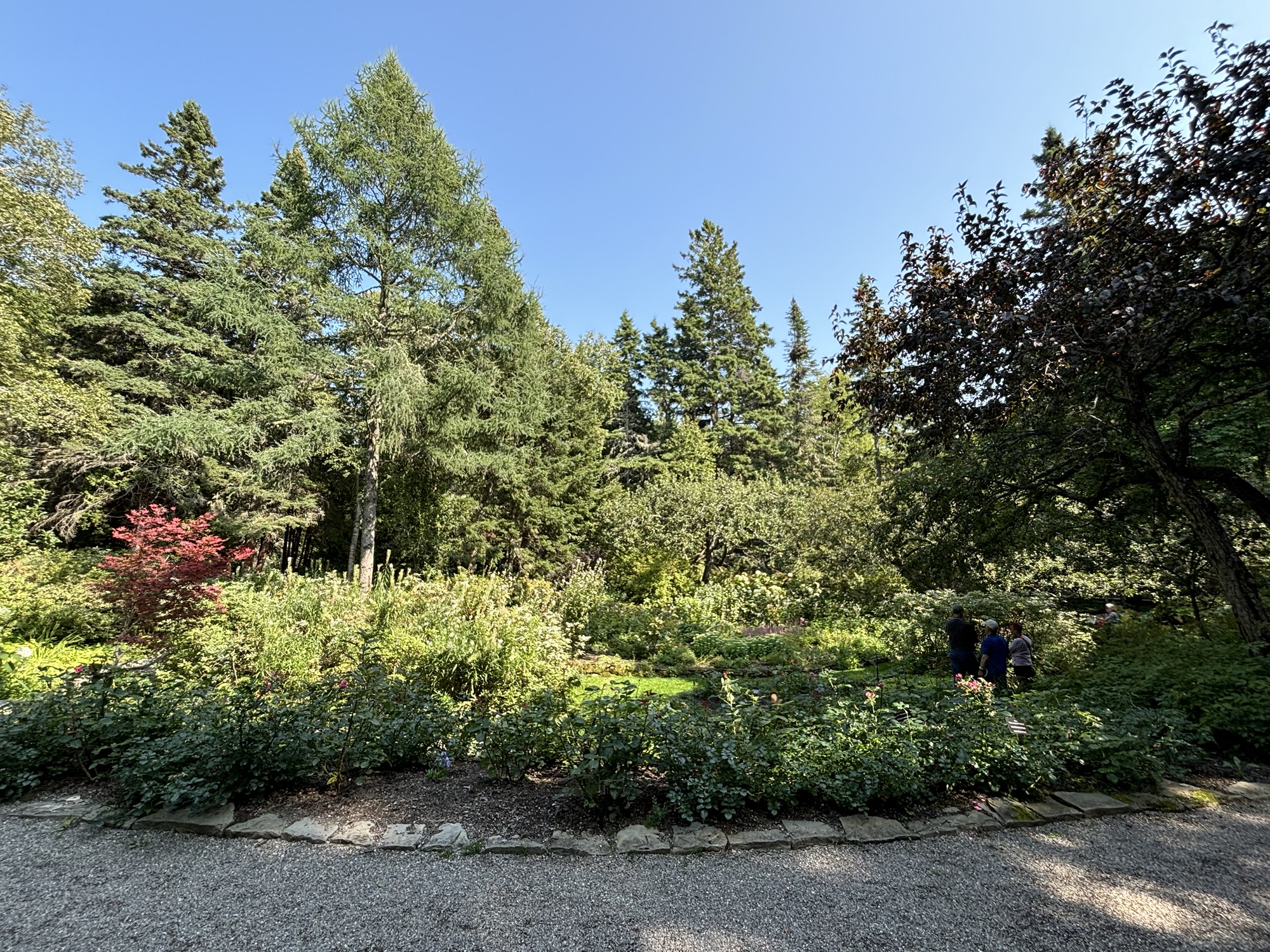
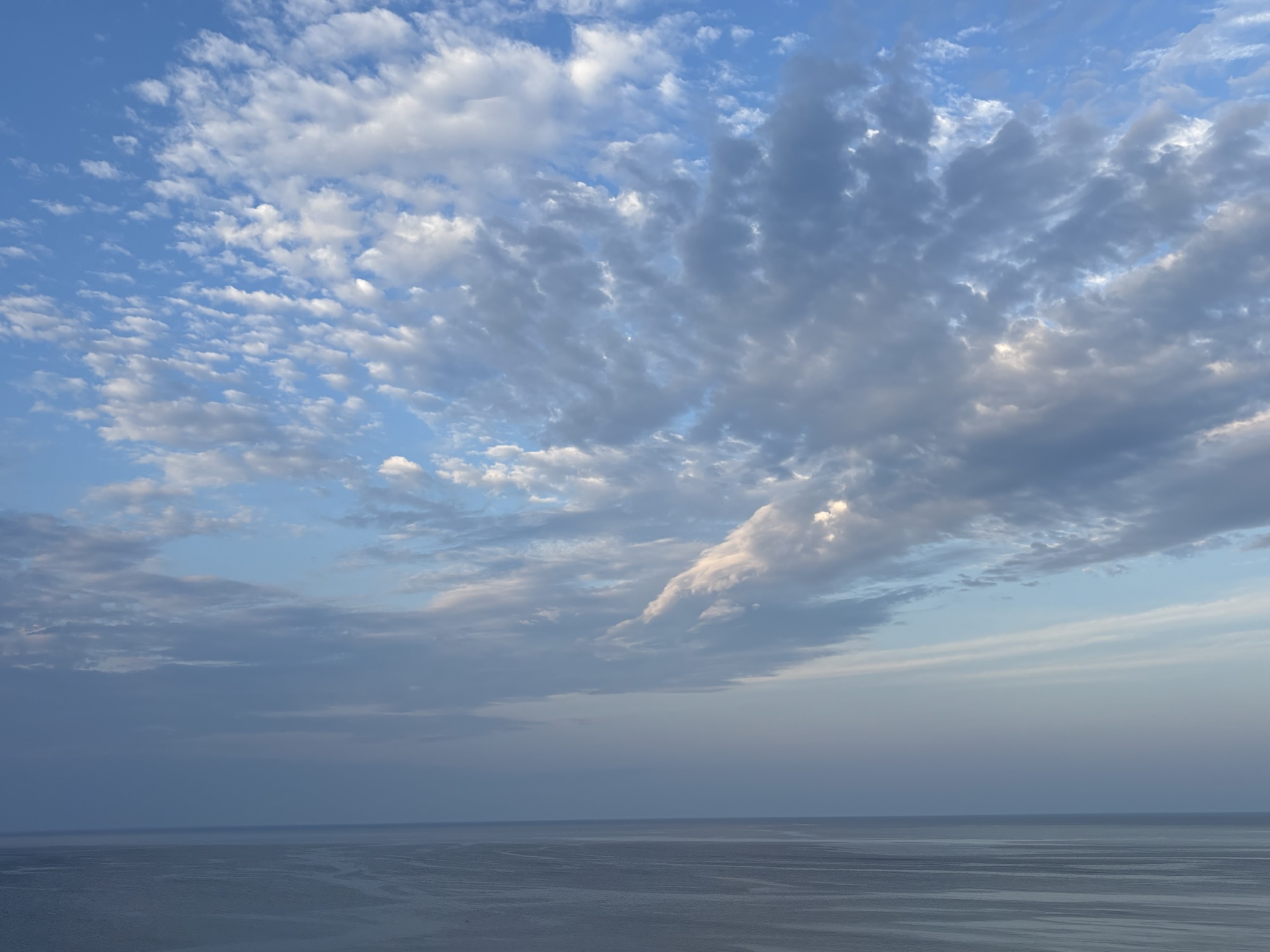
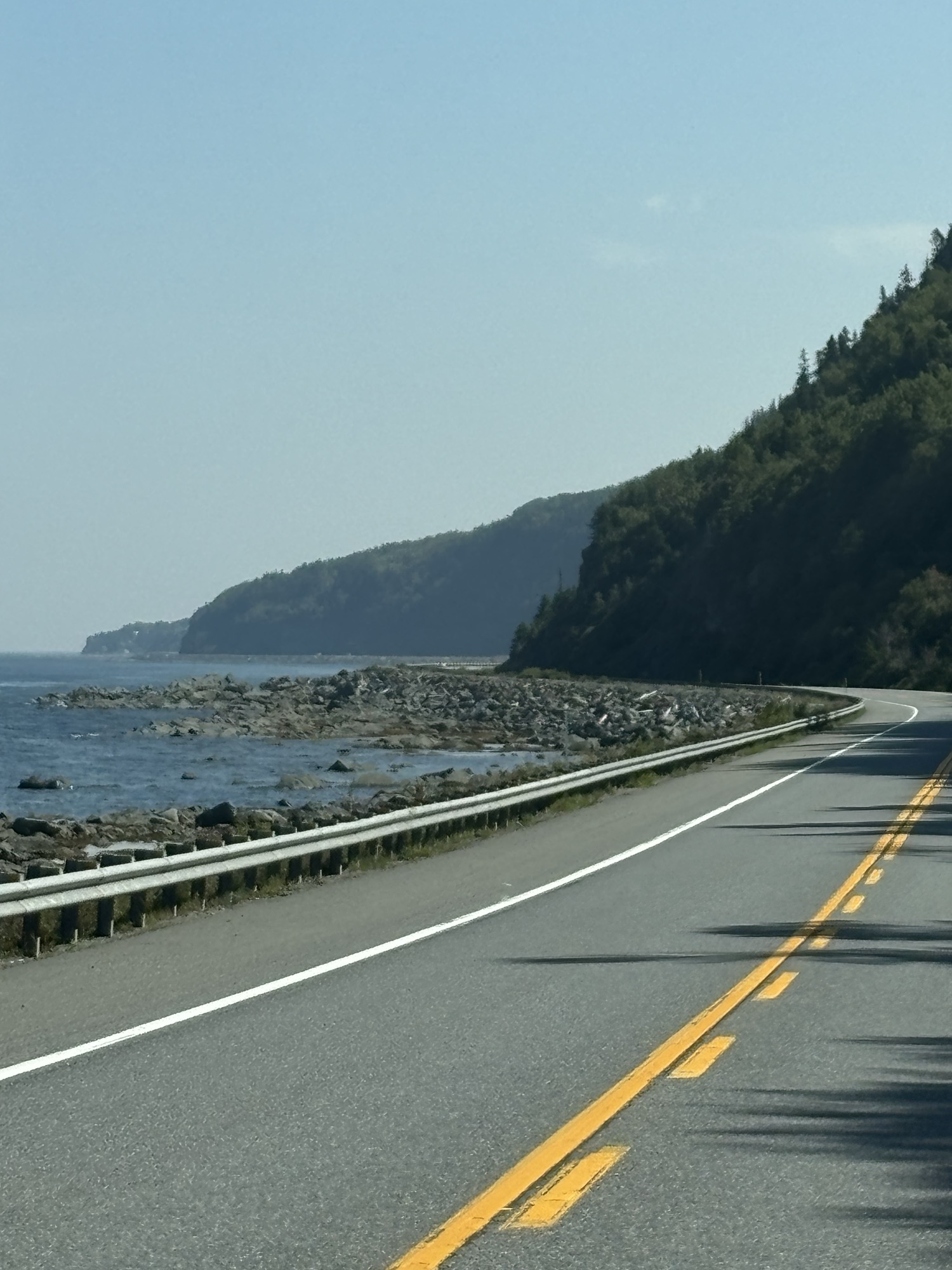
Second day, we drove east along the shoreline on Hwy 132 (which was to become a good friend as it was the road all the way around the cape). The day had turned out to be one of the best in a while and we drove the 100 miles easily if not a little bumpy in places. Our next stop was in Metis sur Mer and the recommended Redford Gardens. It was our 40th Anniversary so we wanted to have a special day.
Once settled in we headed out and spent almost 3 hours at the gardens and the grounds. The property was large and went down to the seaway. Gail always enjoys finding a new flower or two.
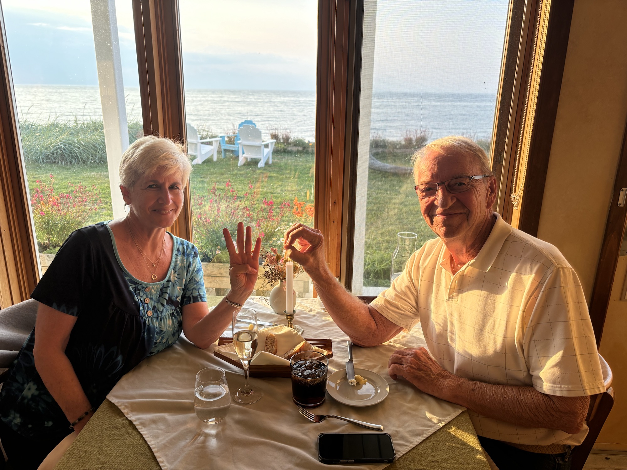
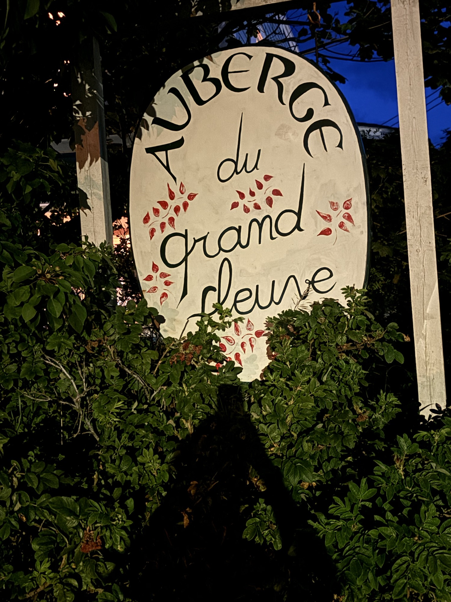
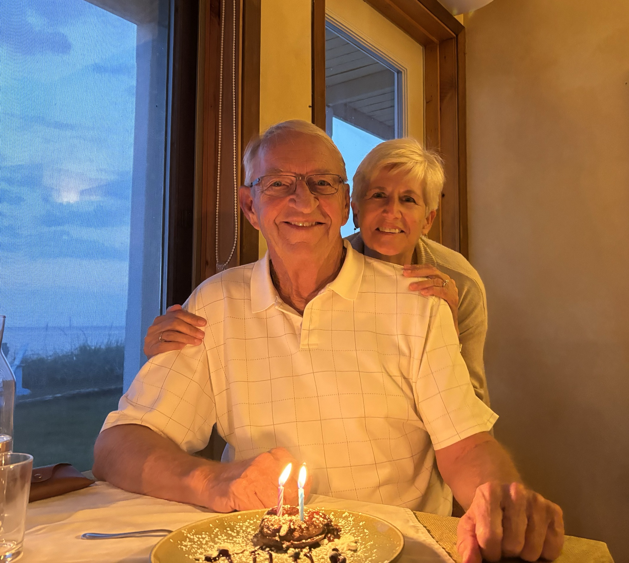
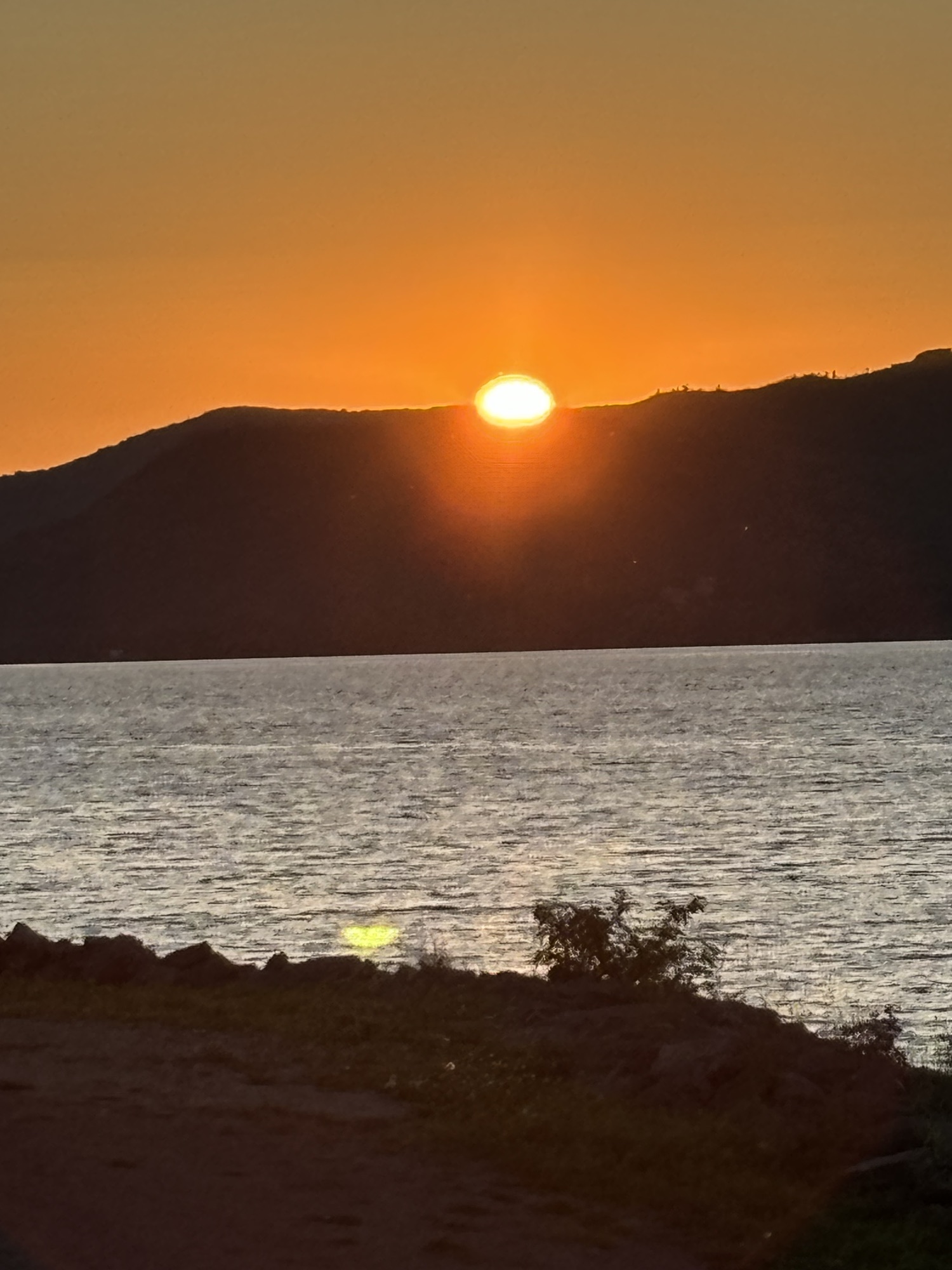
We went back to the RV and changed for dinner. Nothing formal but definitely not shorts and T-shirts! We were looking for a place fit for the occasion with a view of the water. We drove along the beach road until we found one of the small places that was on our list and decided to stop at Auberge du Grand Fleuve.
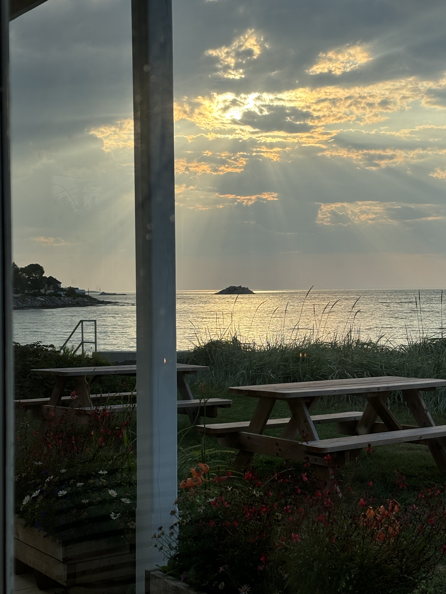
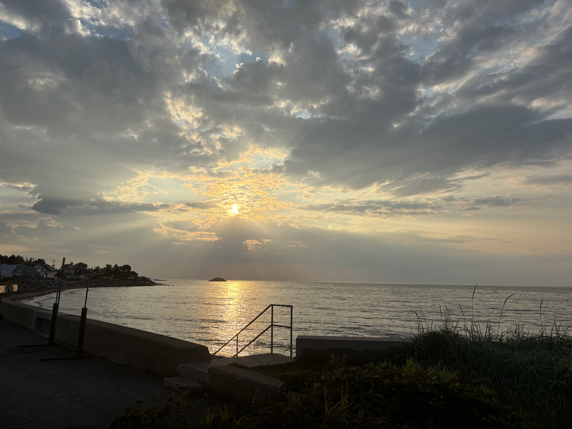
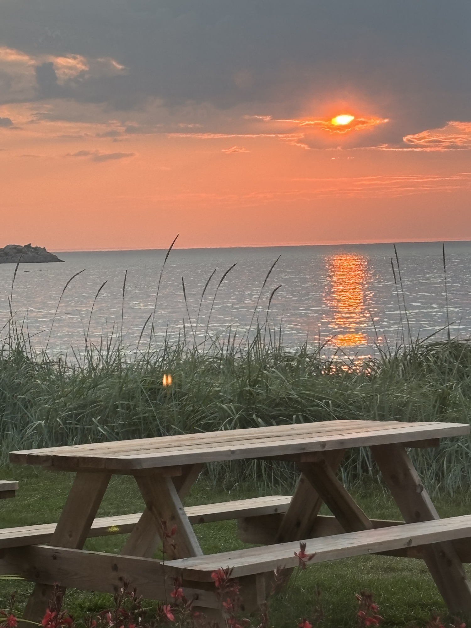
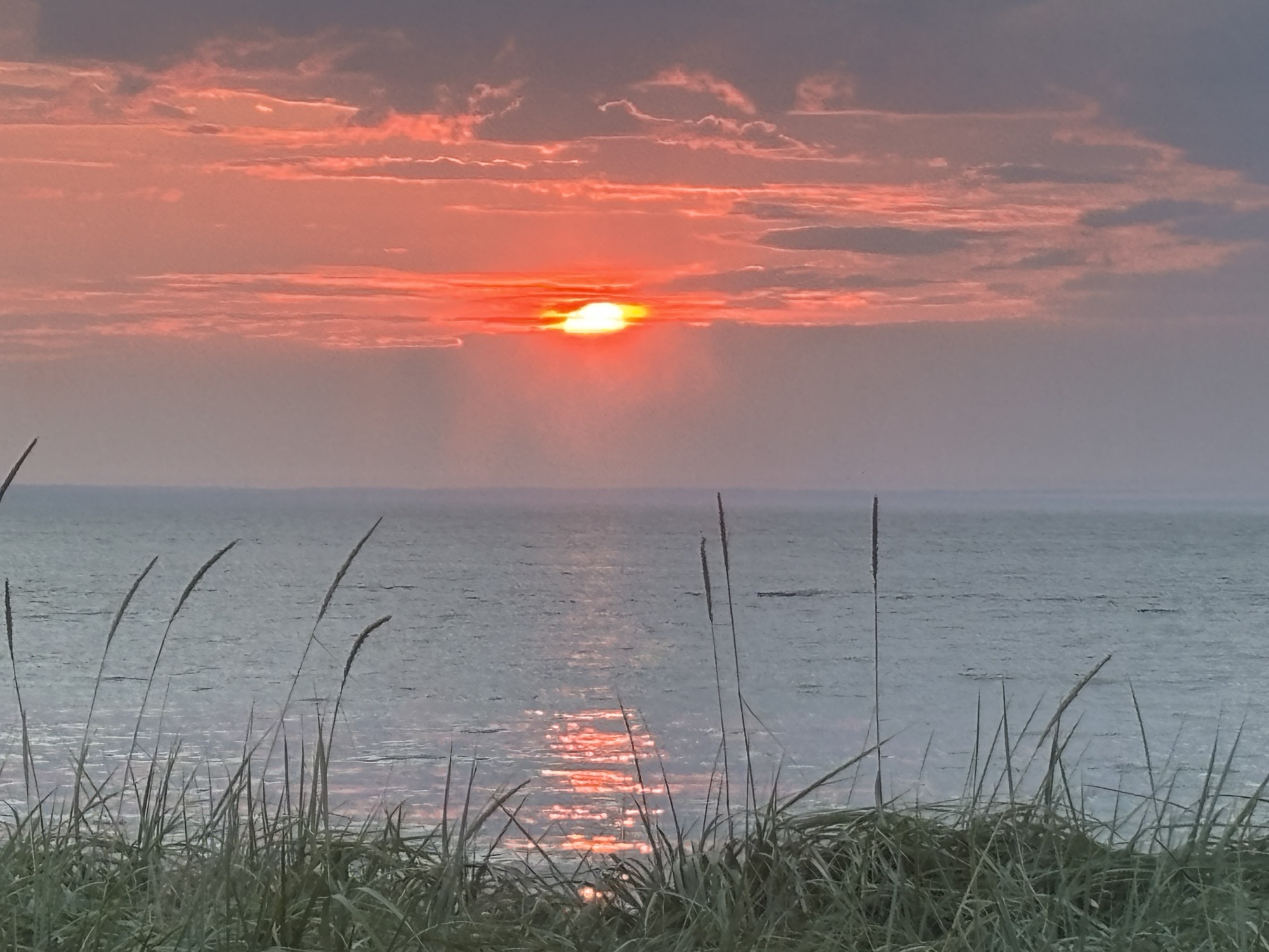
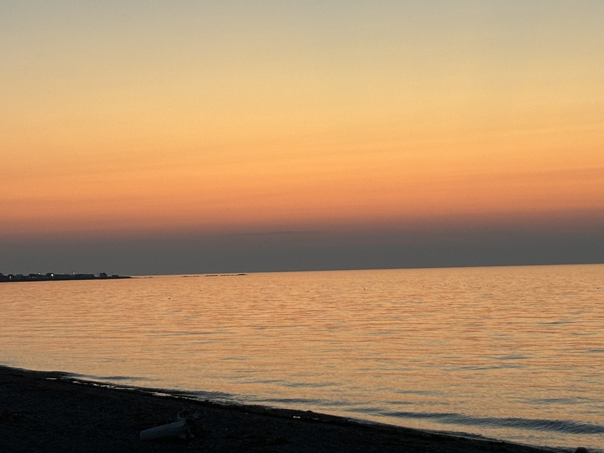
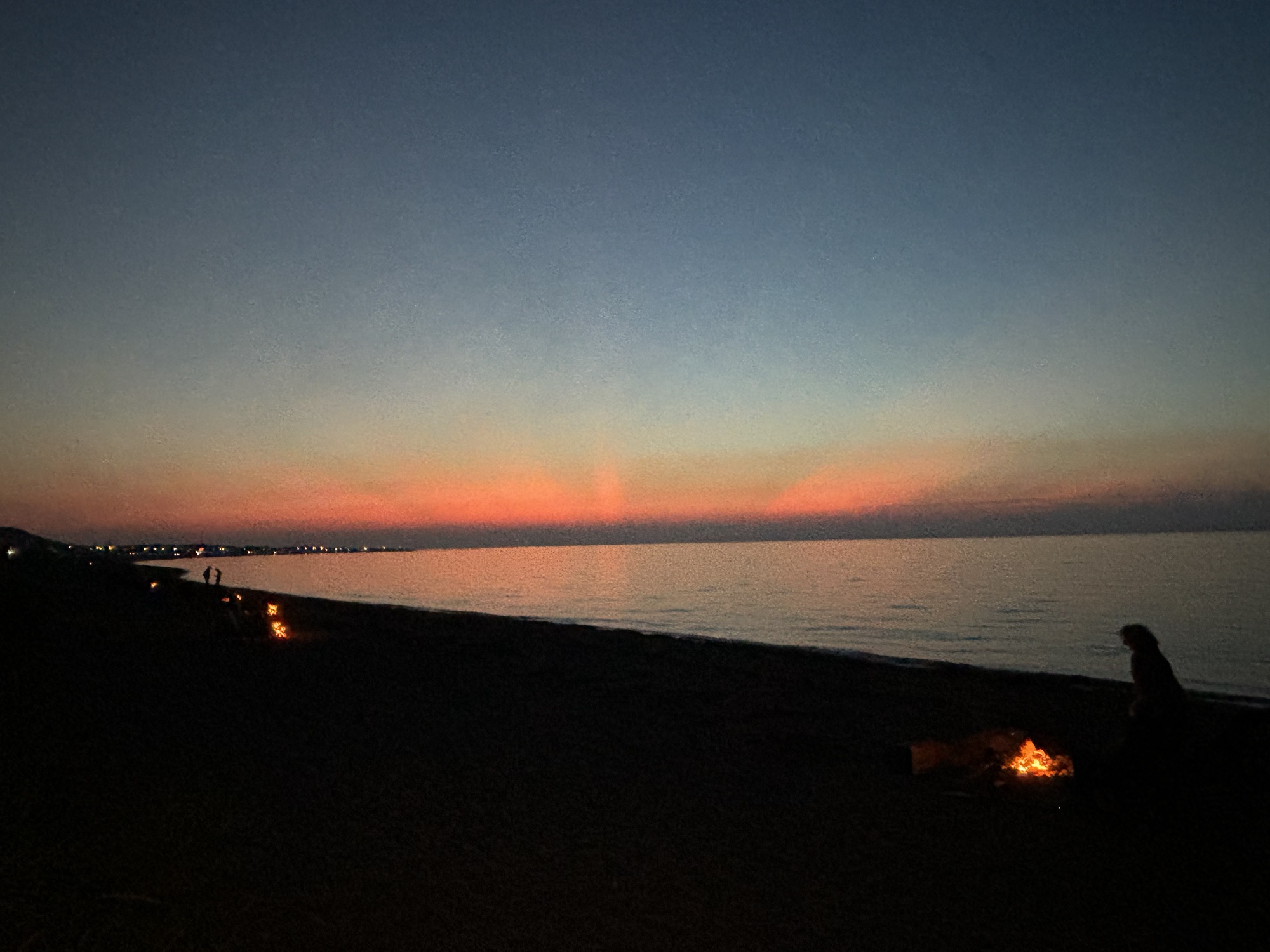
It was 5:45 and they did not open officially until 6. But the waiter (Fares, kinda’ like in Bueller) said he could work us in and to go pick a table. And since we were the first in the room, we picked the one right next to the window looking out on the water! He brought Gail a Prosecco and made me some kind of rum and coke cocktail that was really pretty good. We struck up a conversation about the restaurant and his 10 summers in the area. The menu was a fixed price 4 course meal, but he let us order one and add an extra appetizer which was perfect for us. And he brought the dessert special with candles for the occasion. Both Gail and Fares took photos of the sunset over the water which turned out great! The evening turned out to be a very nice and special celebration. One we will remember.
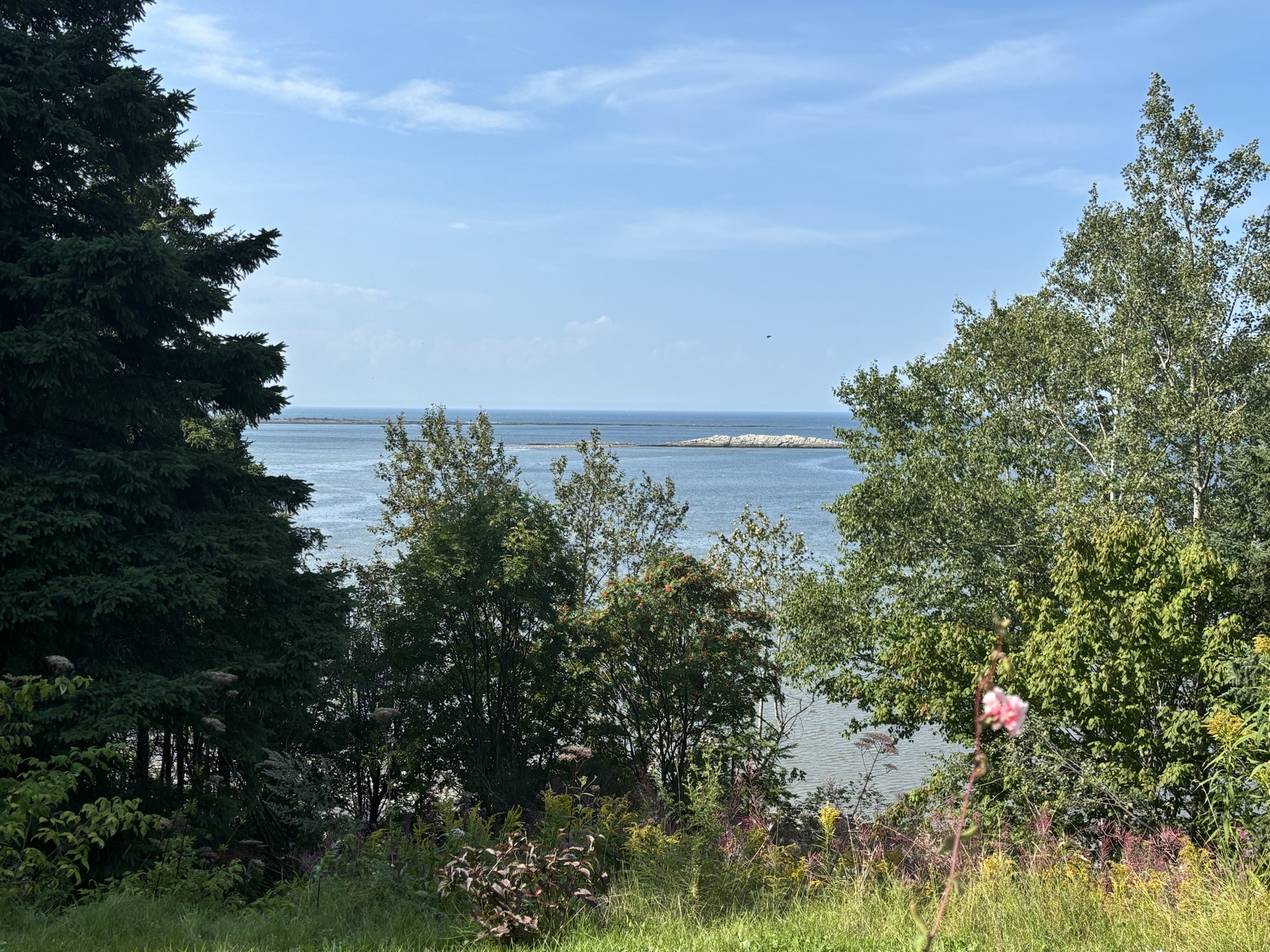
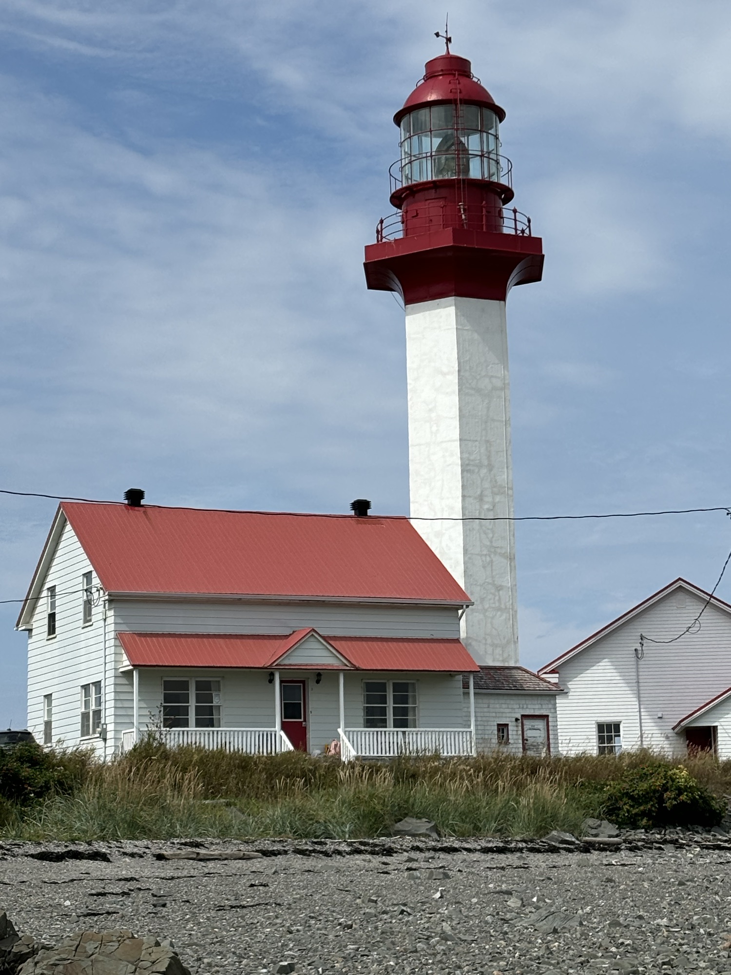
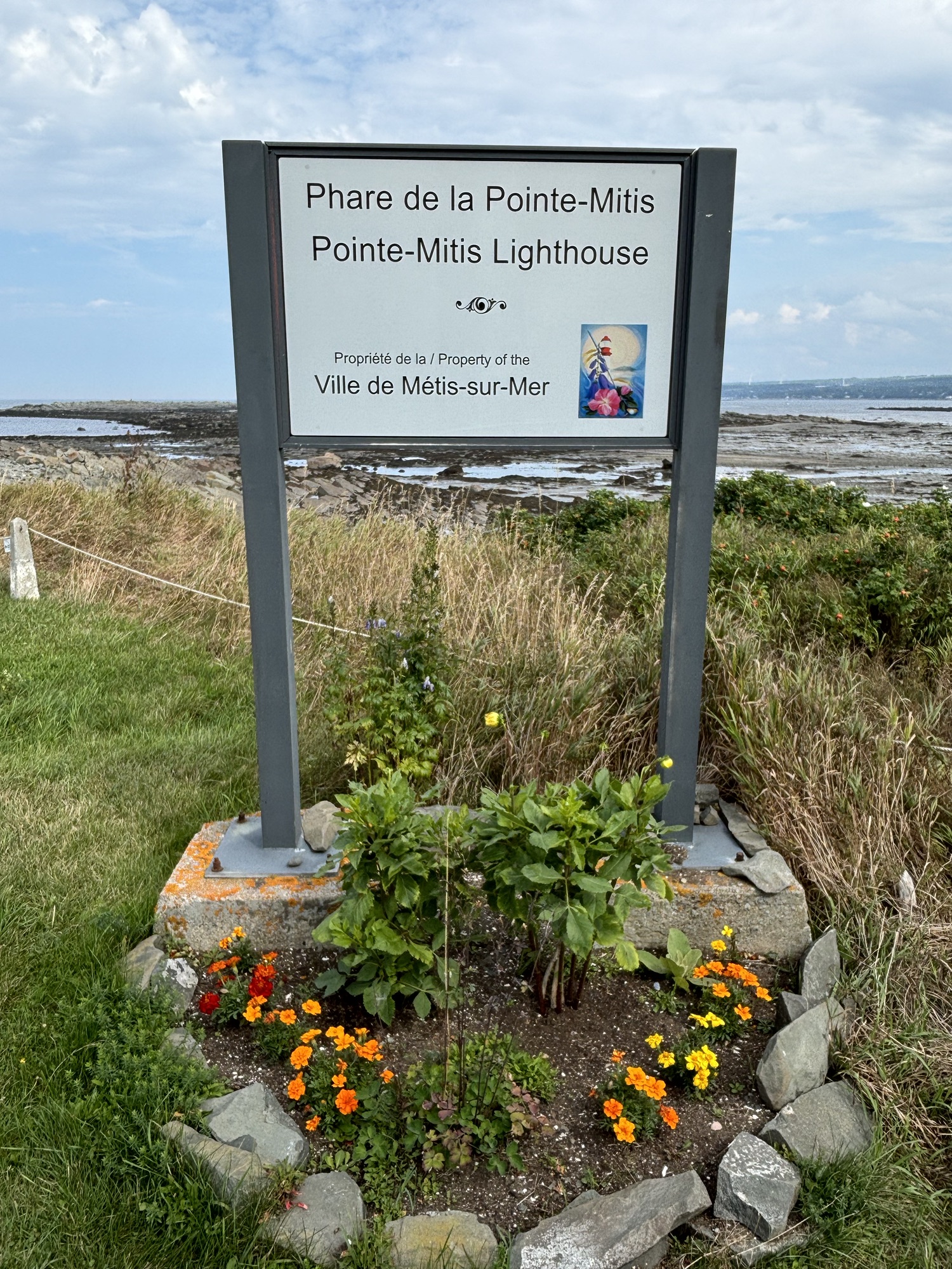
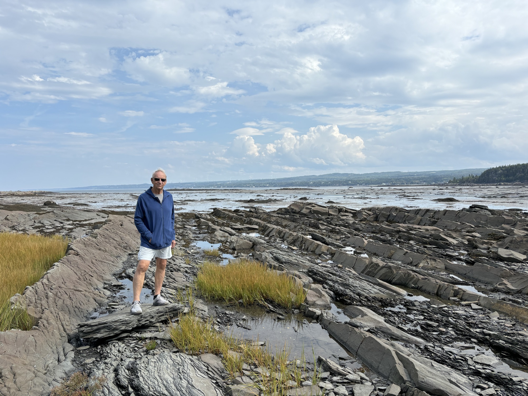
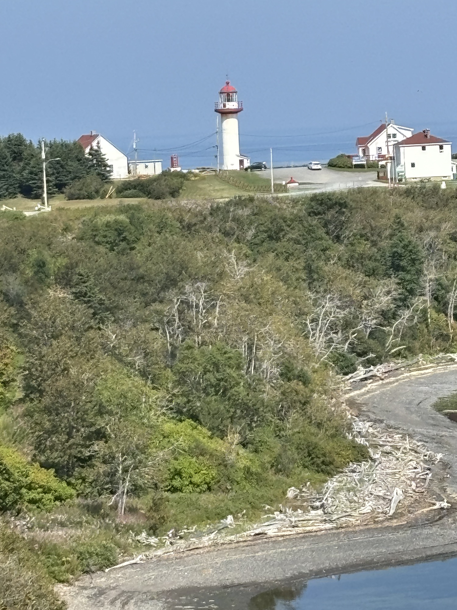
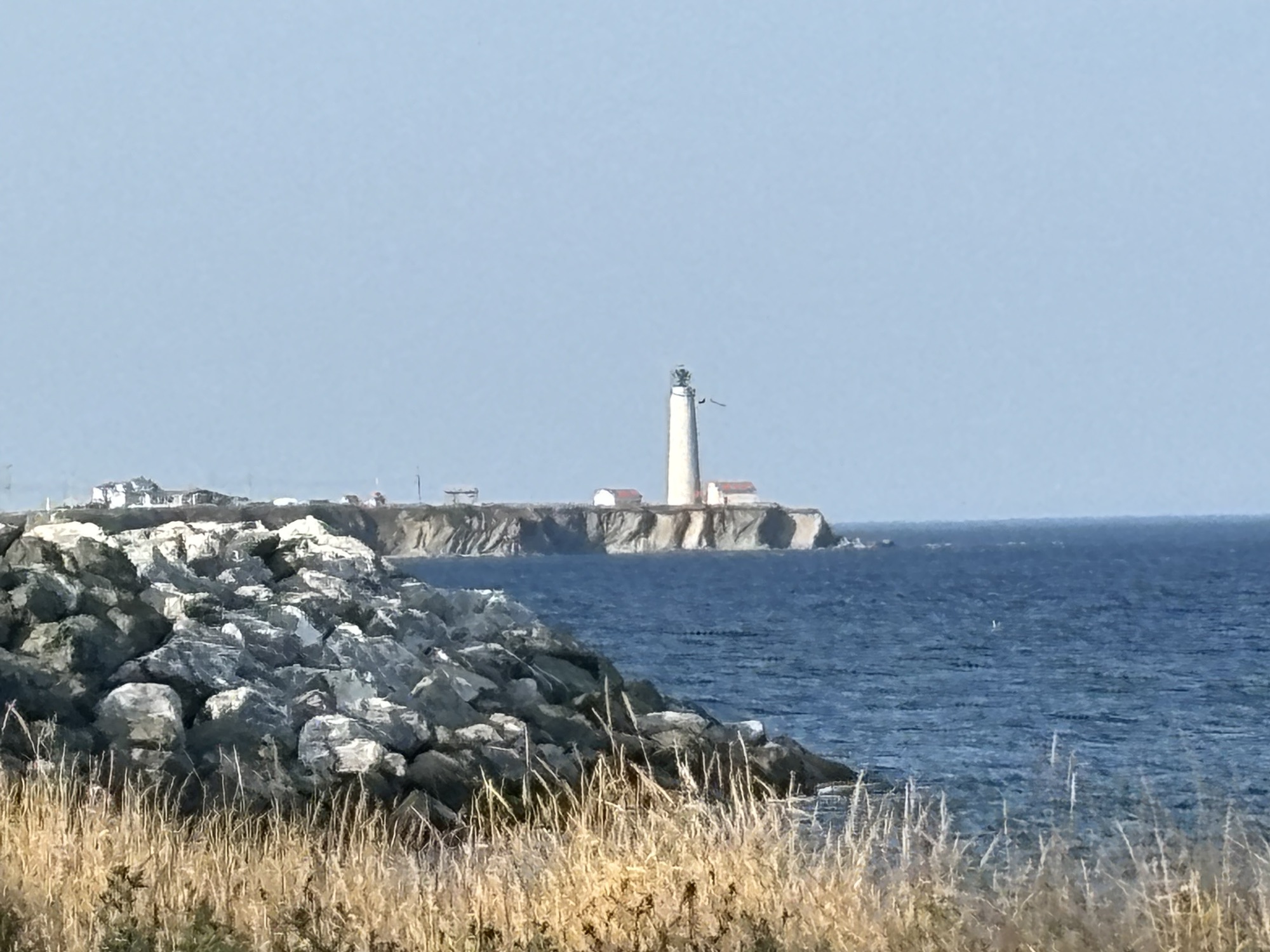
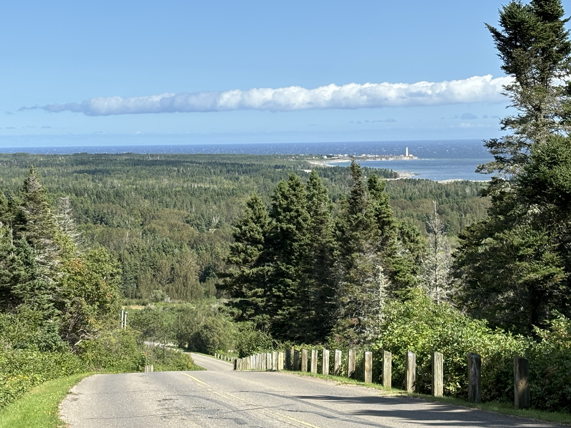
The next morning, we stayed in for a late breakfast and went out for another drive around noon. This time we stayed close to the park and hiked out to the Point Metis lighthouse. We could see it working from the restaurant last night with its unique 3 flashes every 10 seconds. We met a man from Calgary that comes to his house here every summer and back to Alberta every winter! He said we could walk on his beach to the lighthouse which turned out to be very challenging but also interesting since the tide out was out.
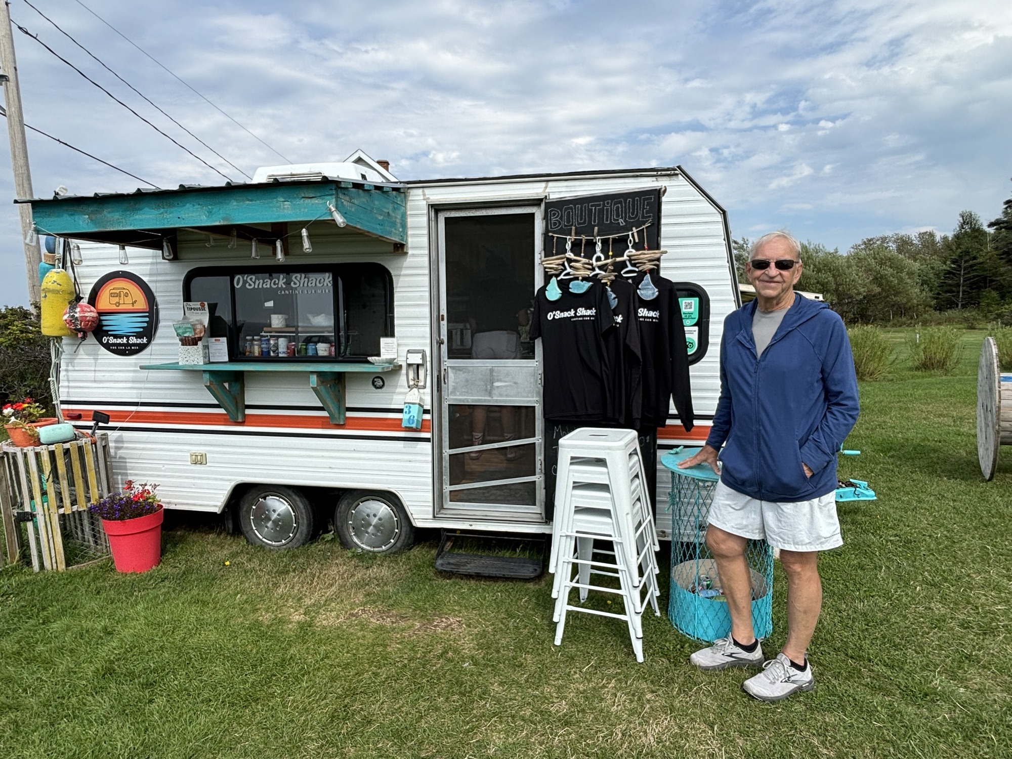
We then drove again on another section of the shoreline drive and found O’Snack Shack in Baie de Sables. It was a small trailer with a big menu! And a great shrimp roll for lunch. Then back to the RV for the evening and to work on the blog some more.

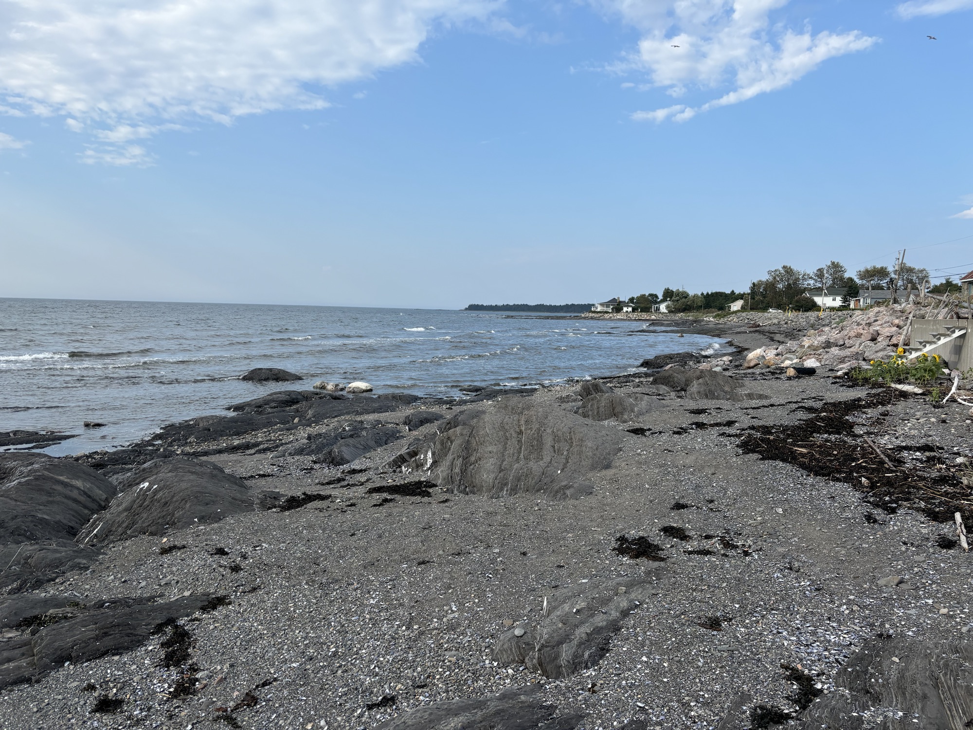
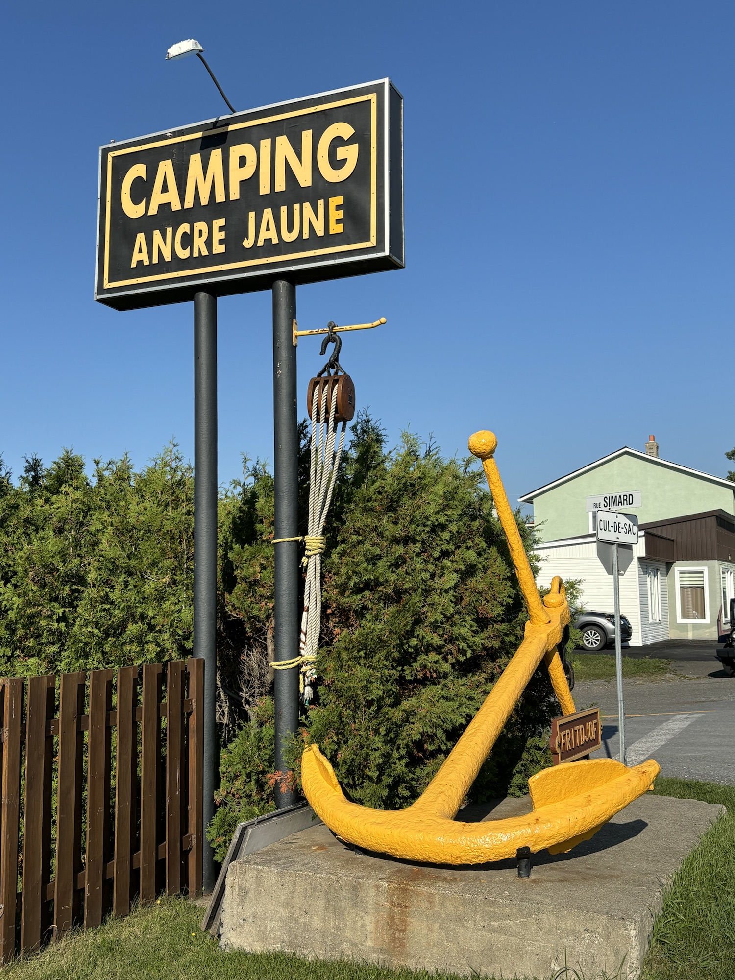
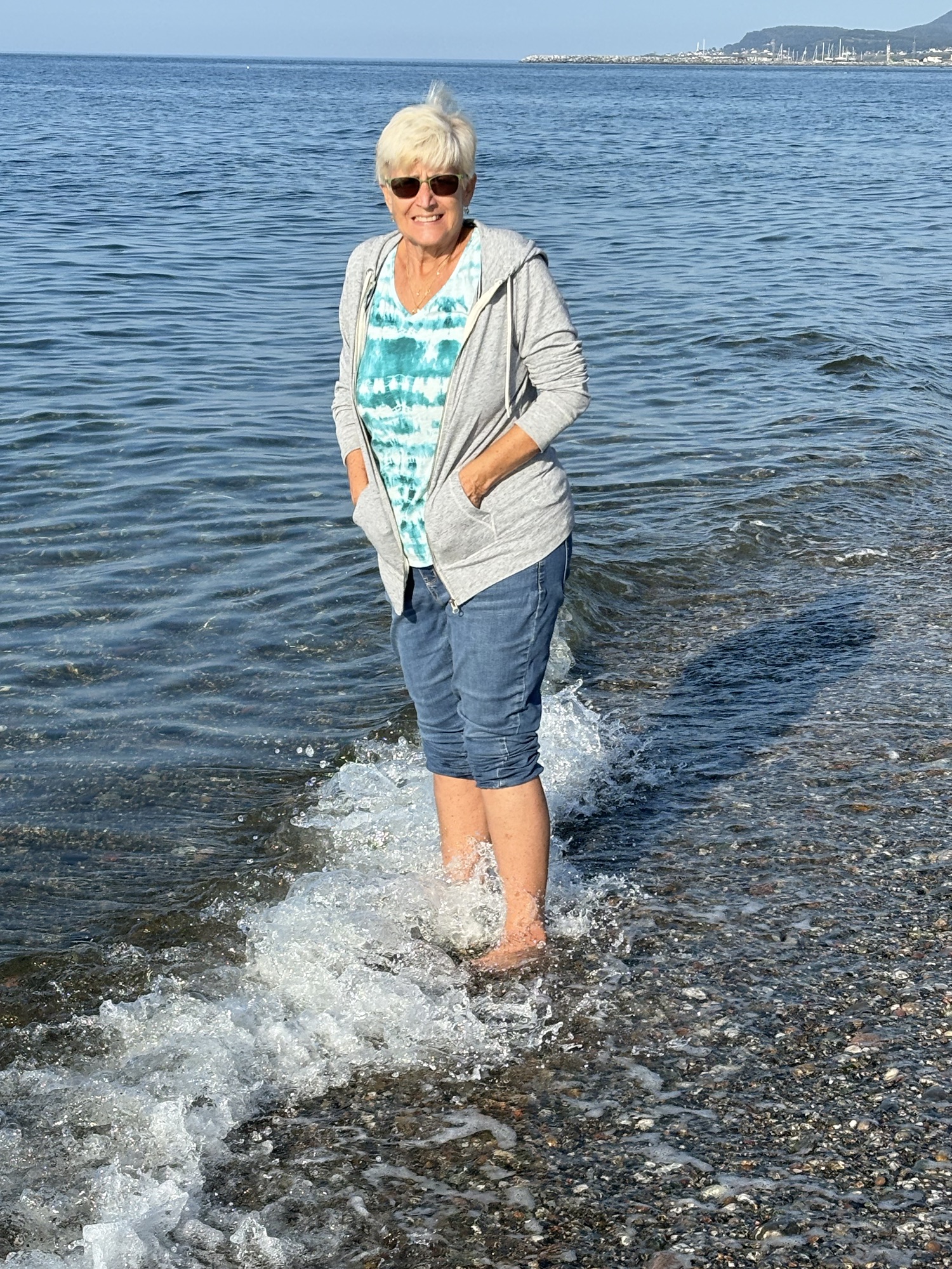
We were off again the next day for another 80 miles or so to Ste. Anne des Monts and another small camp named Camping Ancre Jaune (the Yellow Anchor) right on the beach. We had a good spot just one row back from the beach itself. After getting hooked up, we went looking for a carwash to clean the Jeep. It had been several weeks, and it needed it! There was a self-service high-pressure wash close by and it did an okay job but far from a complete cleaning. We dried (sp) it the best we could and off we went. She looked better than when we got there!
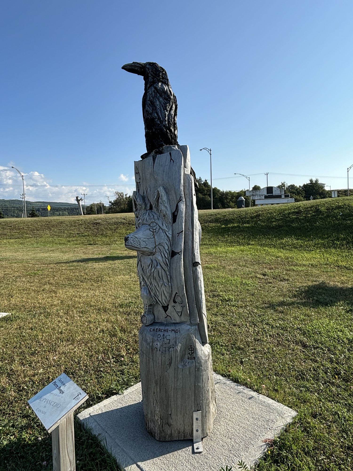
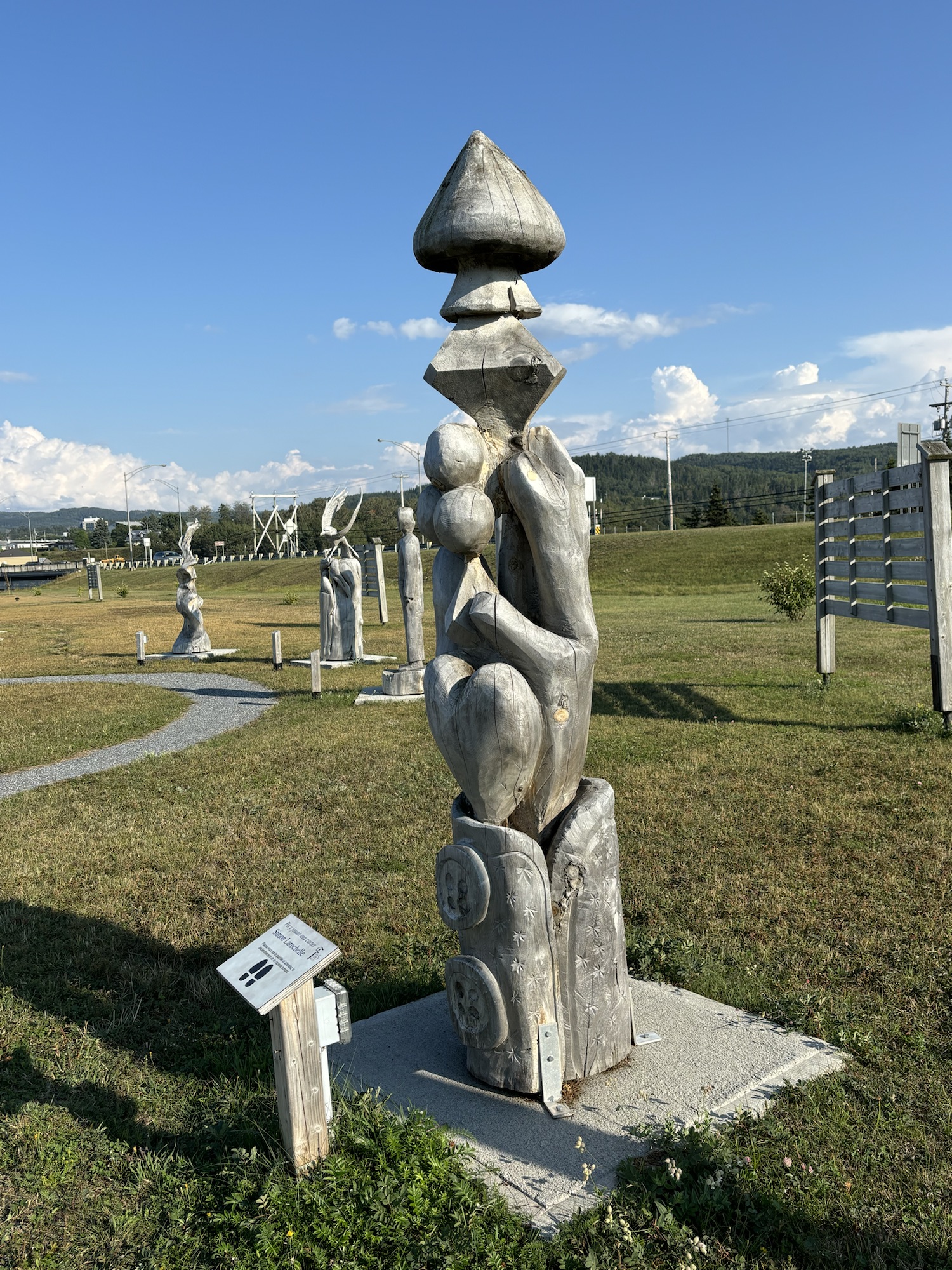
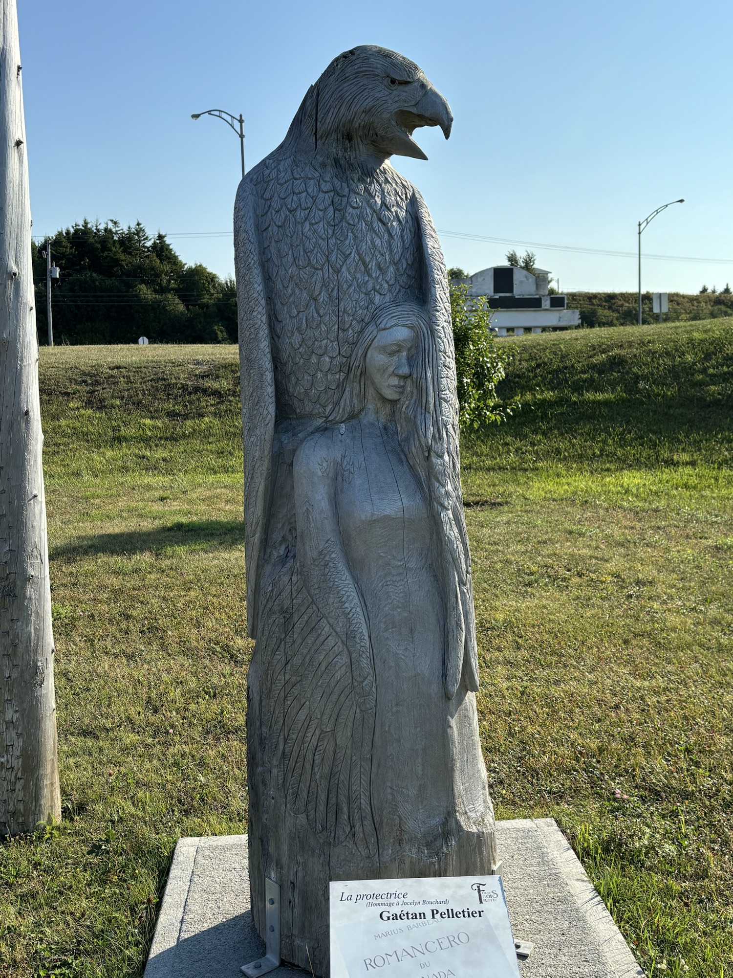
We drove by the town marina and fishing pier on the way back and talked to a local fisherman there who explained the problem. The seals watch you and if they see you reeling in a fish they go after it! We saw several seals around the pier, and they all seemed to be waiting! We also stopped at a large park with sculptures made from single logs and denoting a different subject each year. Very interesting. (See the photos)
And we ended up on the beach sharing a fire with a couple from Galveston! Gail went to the RV for some marshmallows to roast, and we got some great info from them about Newfoundland.
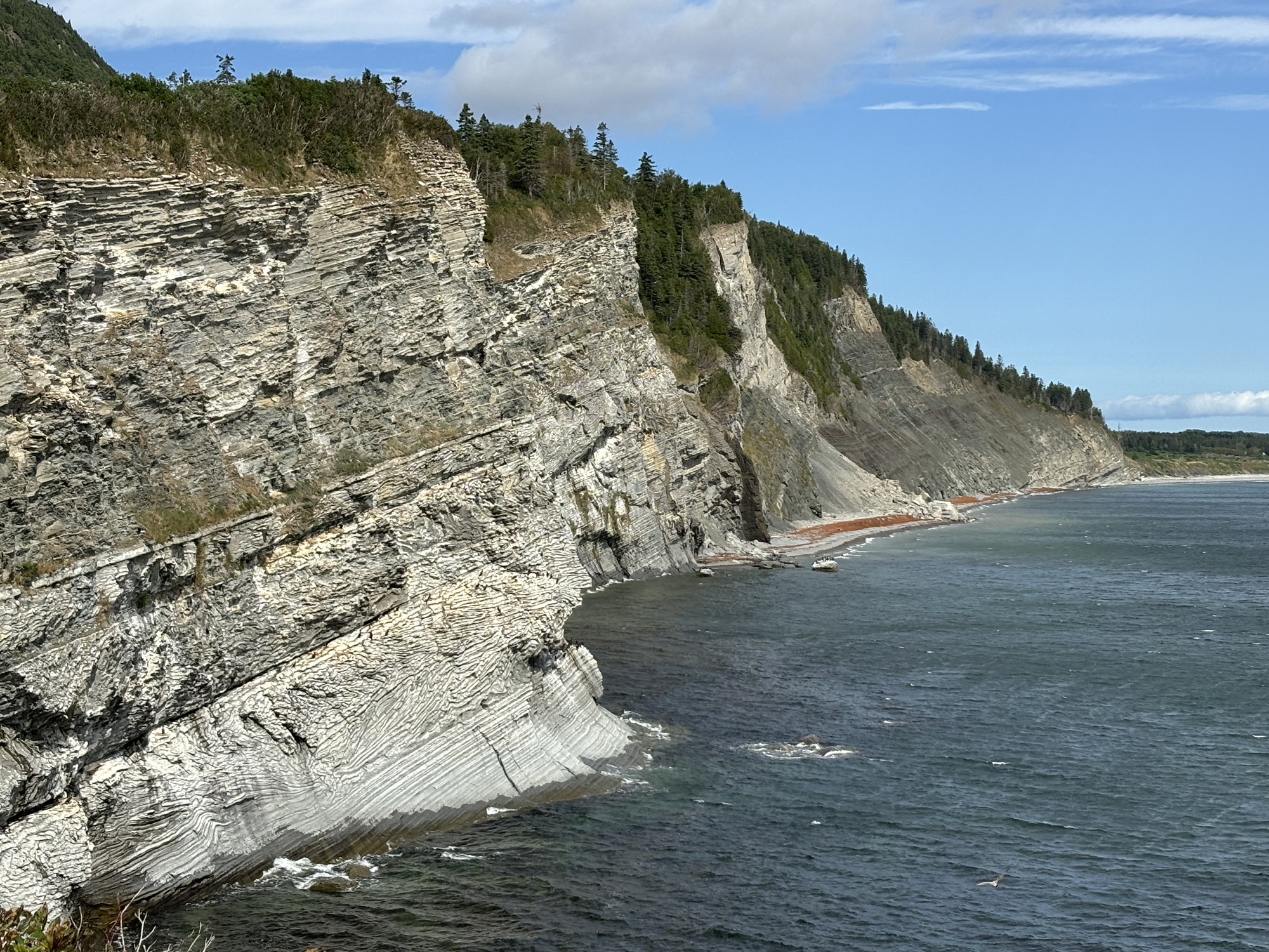
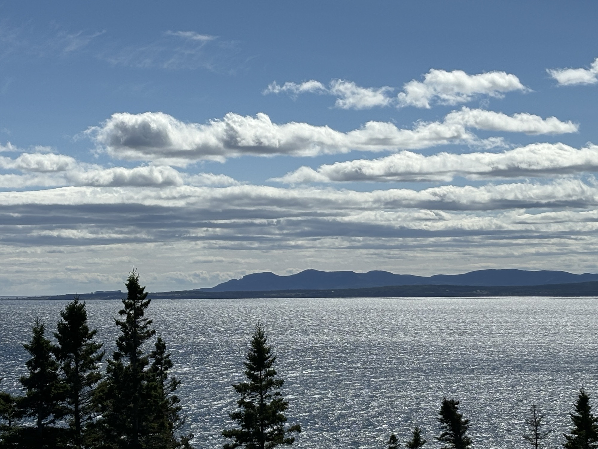
Our last stop on the peninsula was out at Anse au Griffon near Gapse itself. We finally saw two ships on the Seaway. A cruise ship going west and the other a freighter going east. After getting settled, we drove out to the visitor center of the Forillon National Park to get information about the park and watched a nice 30 minute video about the park’s geological features. We also did a couple of short hikes around the center.
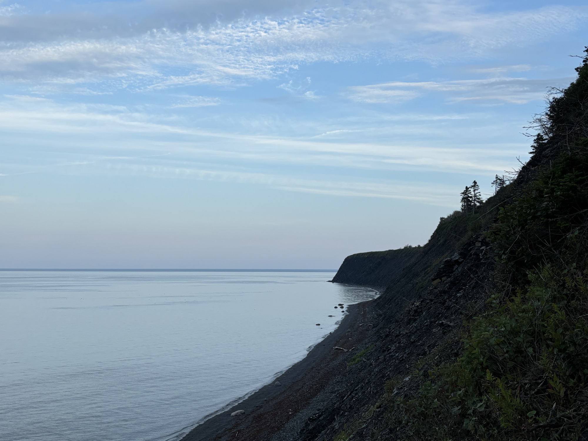

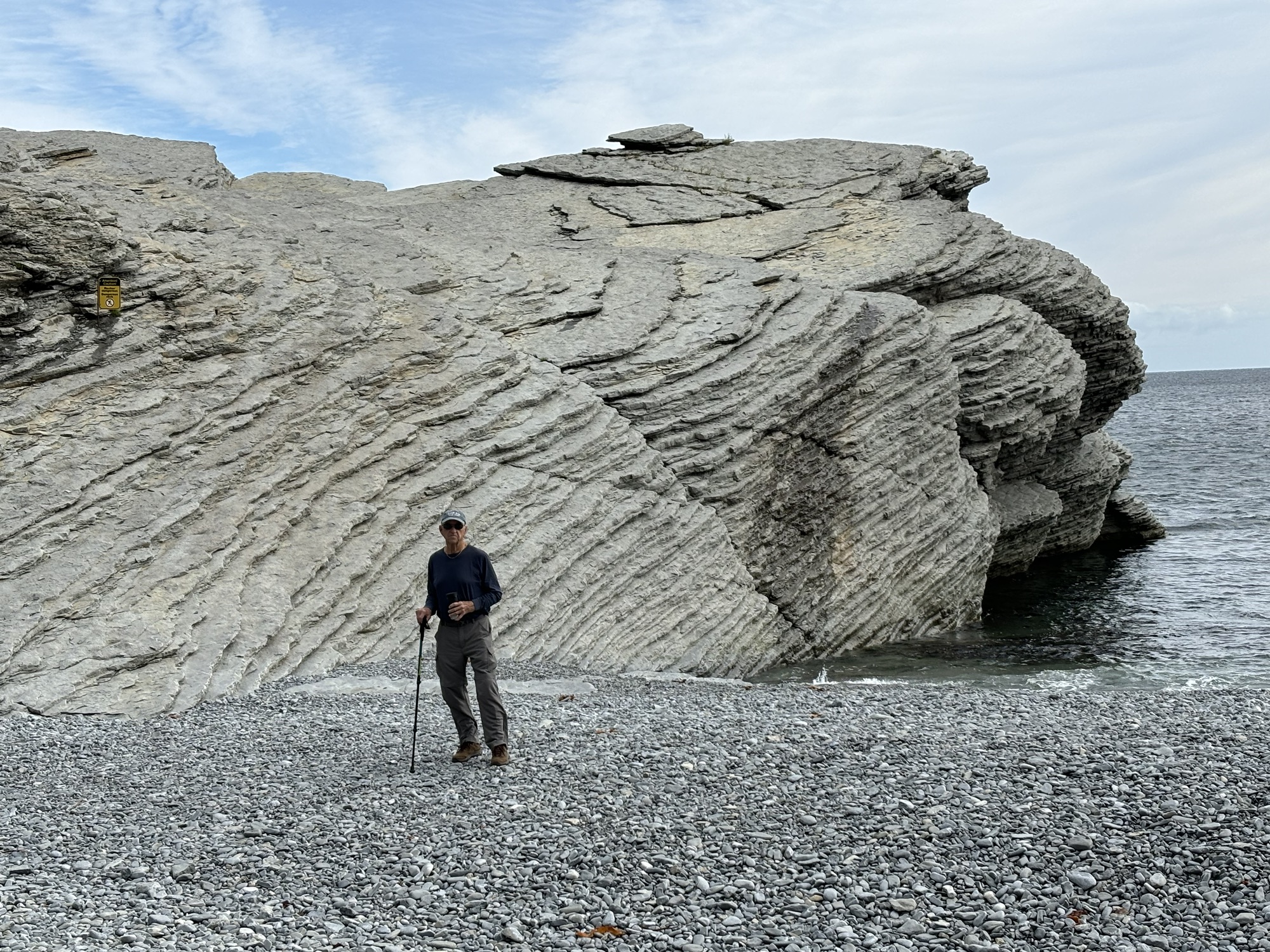
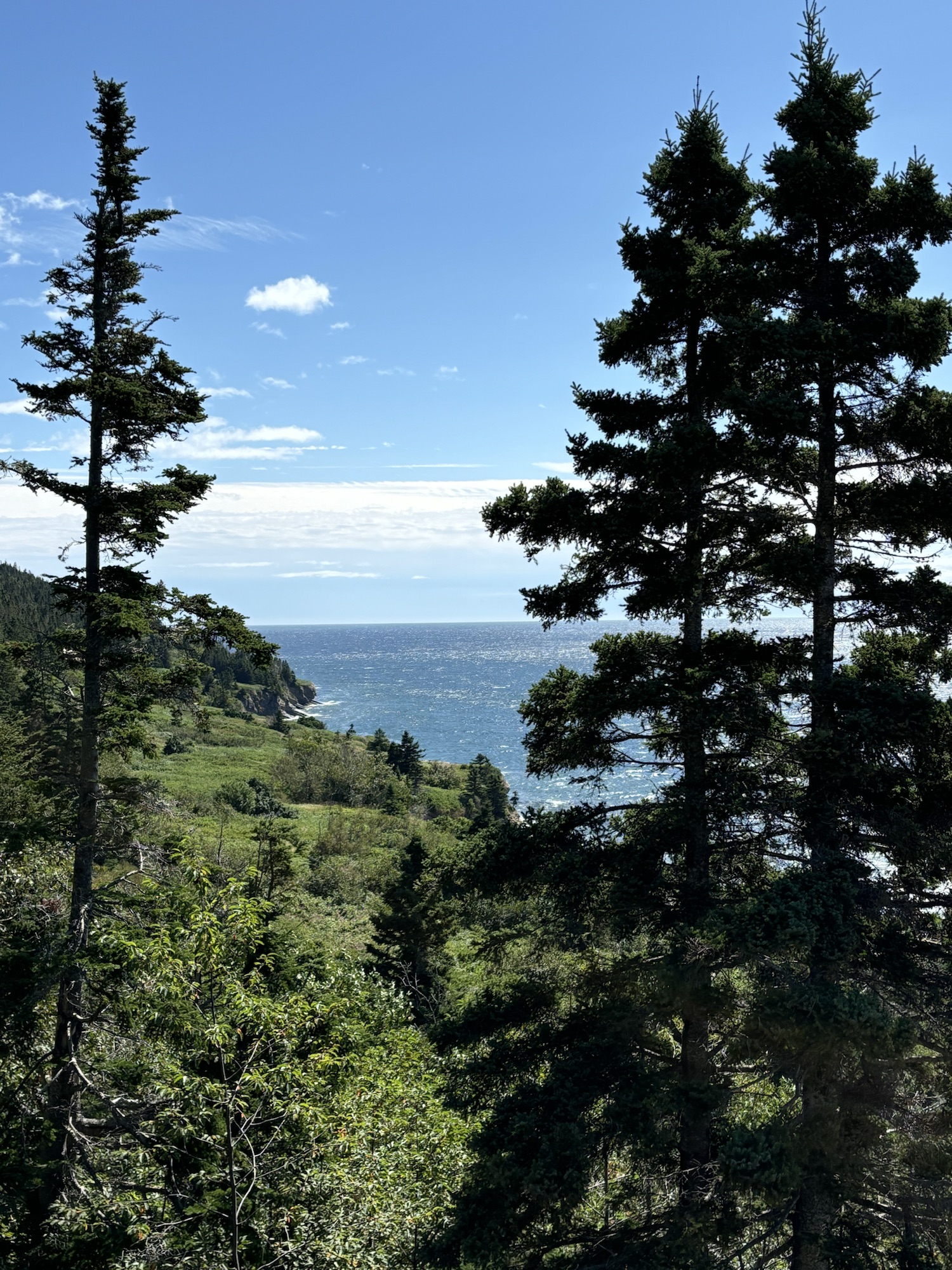
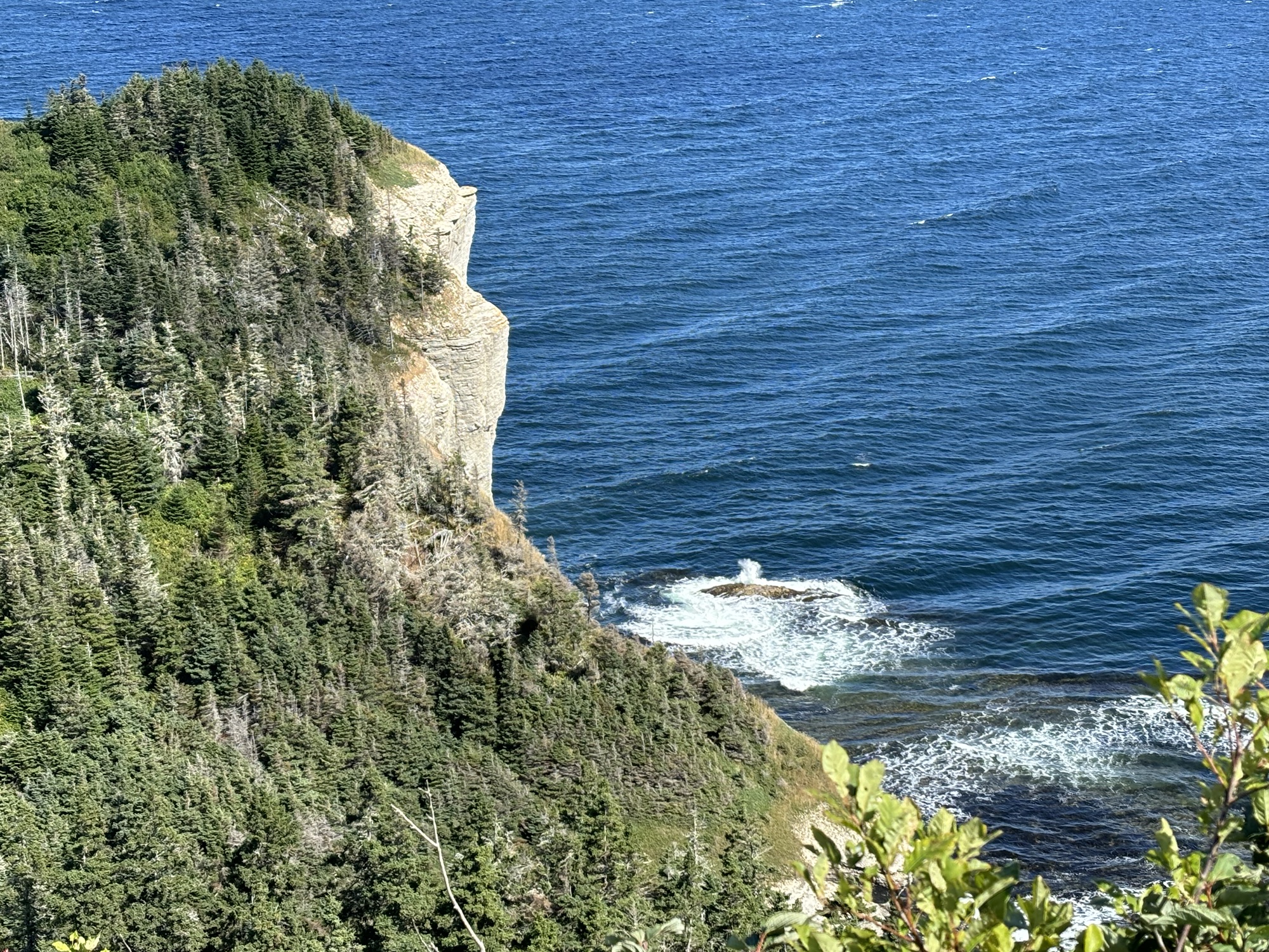
We decided that tomorrow we would do a few “easy” hikes in the park. We did a short walk on the north side of the park to see the cliffs close to the beach and the birds nesting. There are thousands during the summer as they come to roost. Not too many there now but still a very beautiful and interesting place.
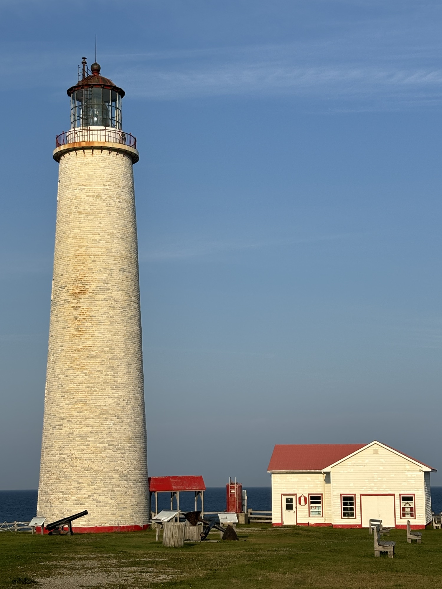
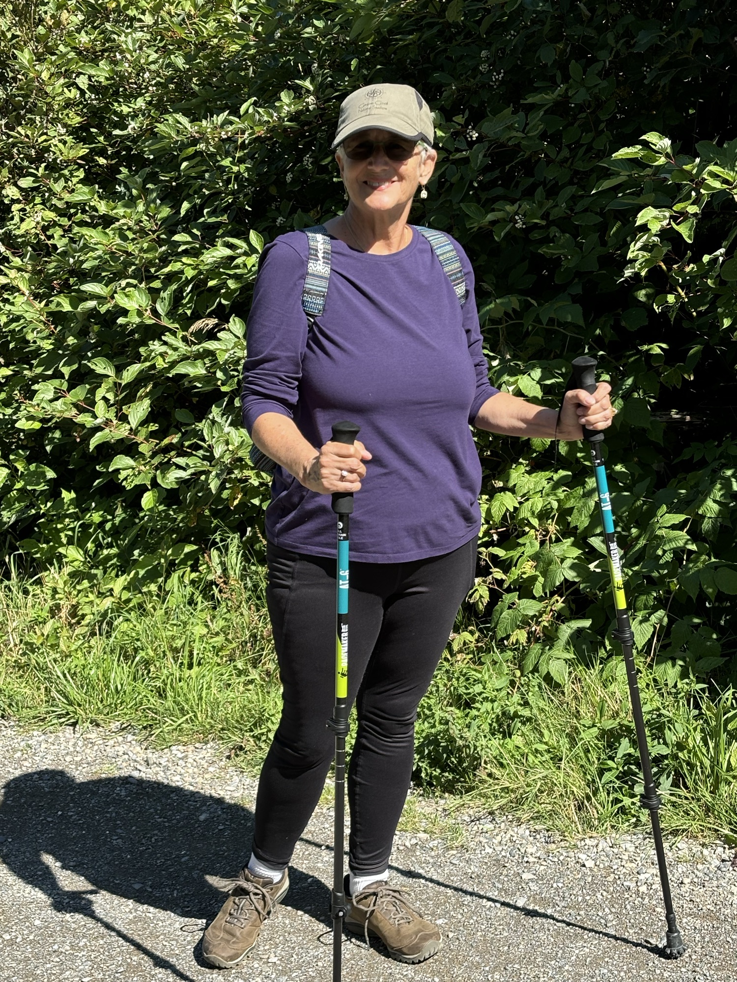
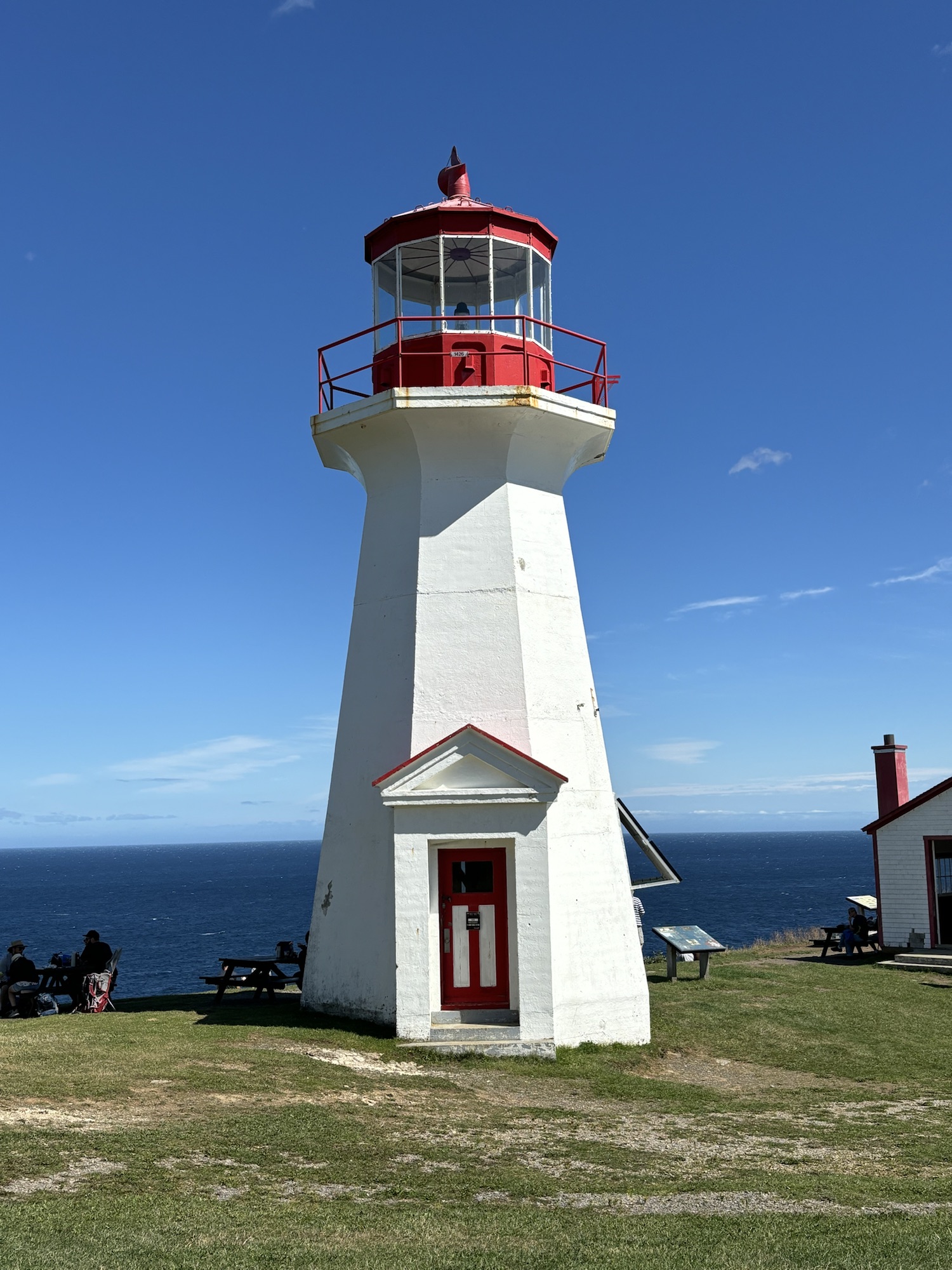
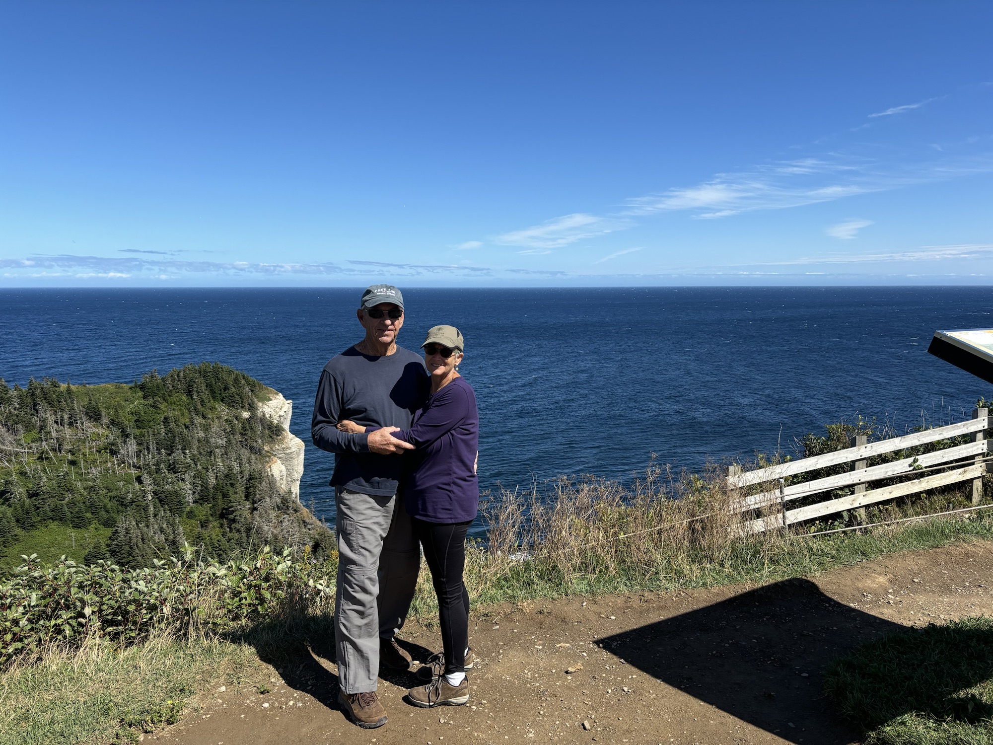
Then we drove to the south side to do the hike up to the Cape Gaspe lighthouse. After parking, we took the “easy” gravel road vs the hike through the woods, and soon found that the “easy” might have been exaggerated a bit. Although not terrible, the steep inclines rising up in various stages to 280 ft made it challenging. Gail used her new hiking poles (Thanks Chris Buck!) which helped her especially on the aforementioned inclines. We made it to the top and the view was amazing. Again, the cliffs and beaches below were fantastic. And we saw a fairly large pod of seals below playing in the waves.
And the lighthouse is the head of the GR-A1 rated trail connecting Forillon Park to Matapedia, a trek of about 390 miles, through the Gaspe National Park and Mount Jacques-Cartier, the highest summit in Southern Quebec. (I’ll let others tackle that!)
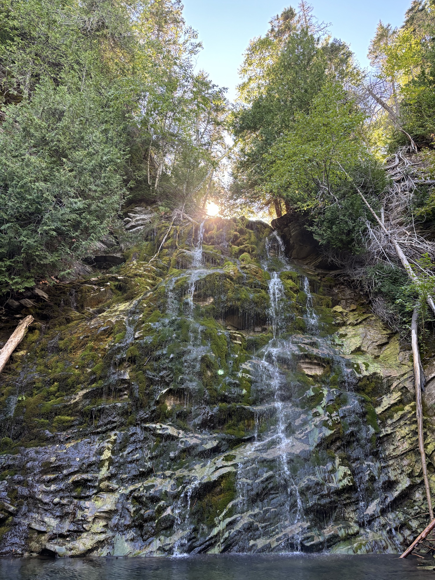
As a final treat for the day, we went on another short hike to find a waterfall called The Chute. Again challenging but worth the effort. For the day we did over 7 miles hiking.
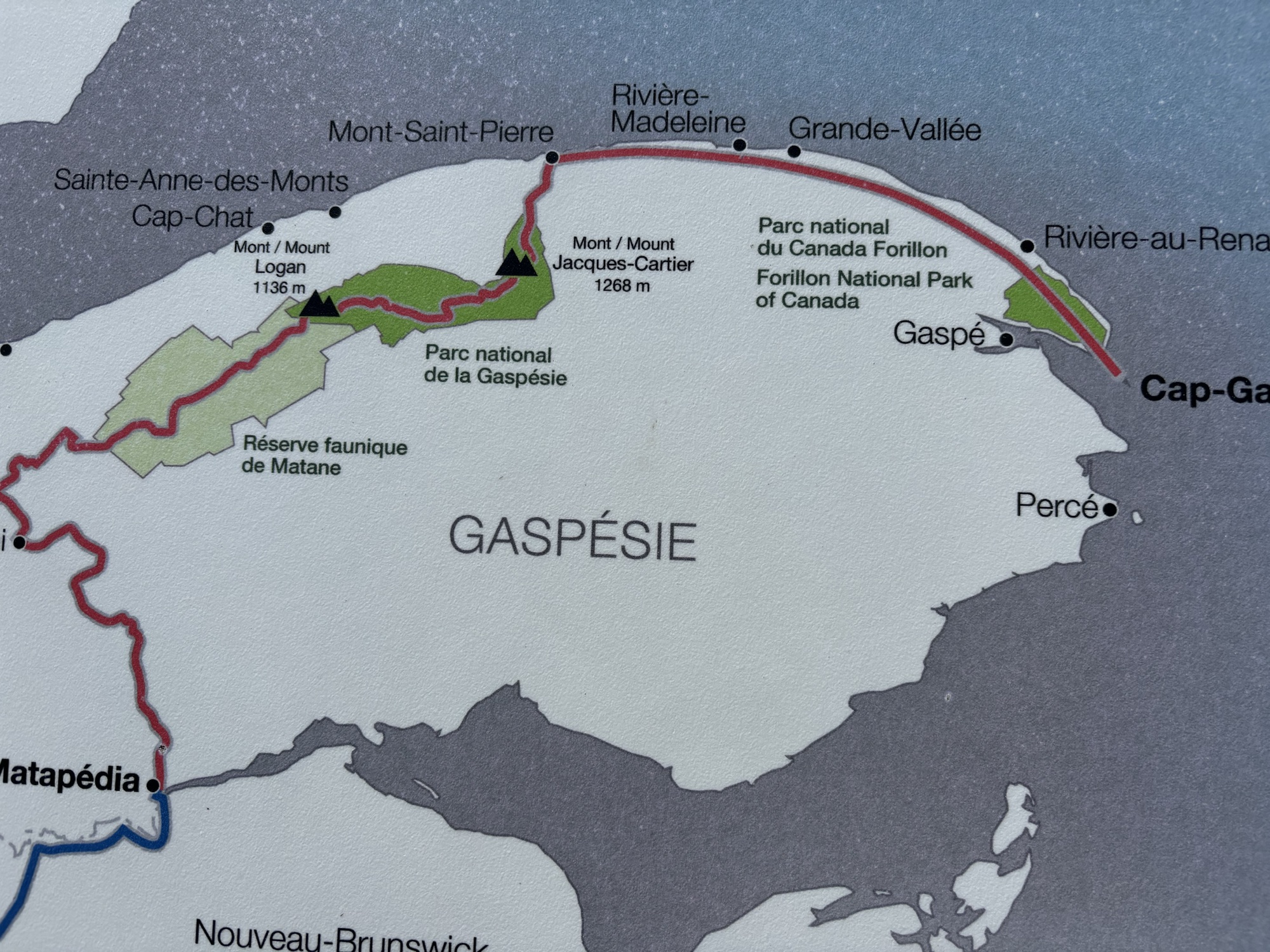
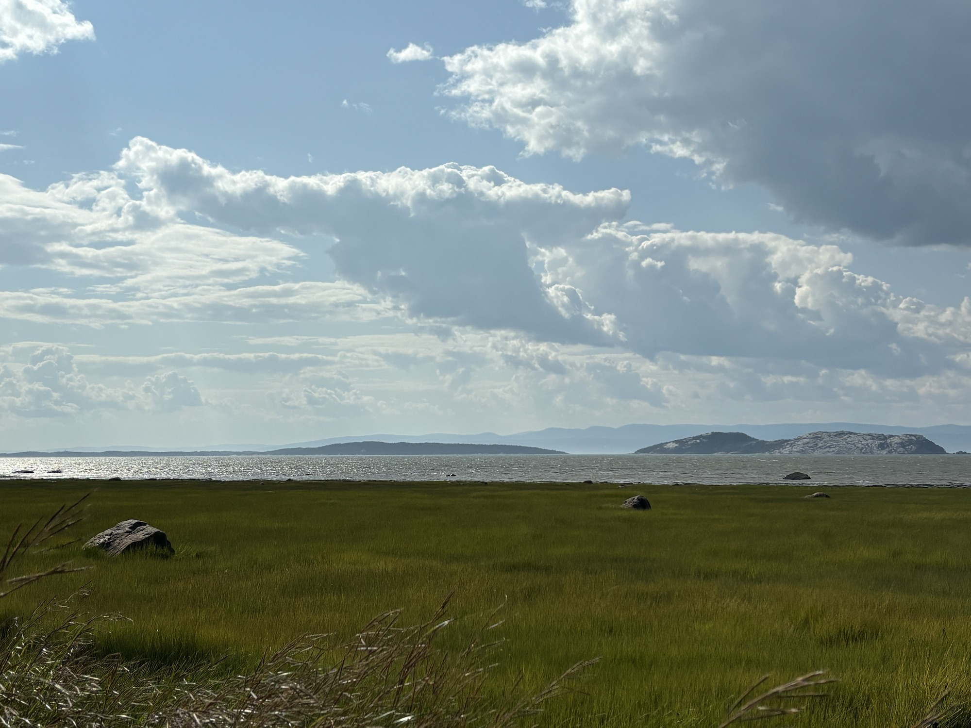
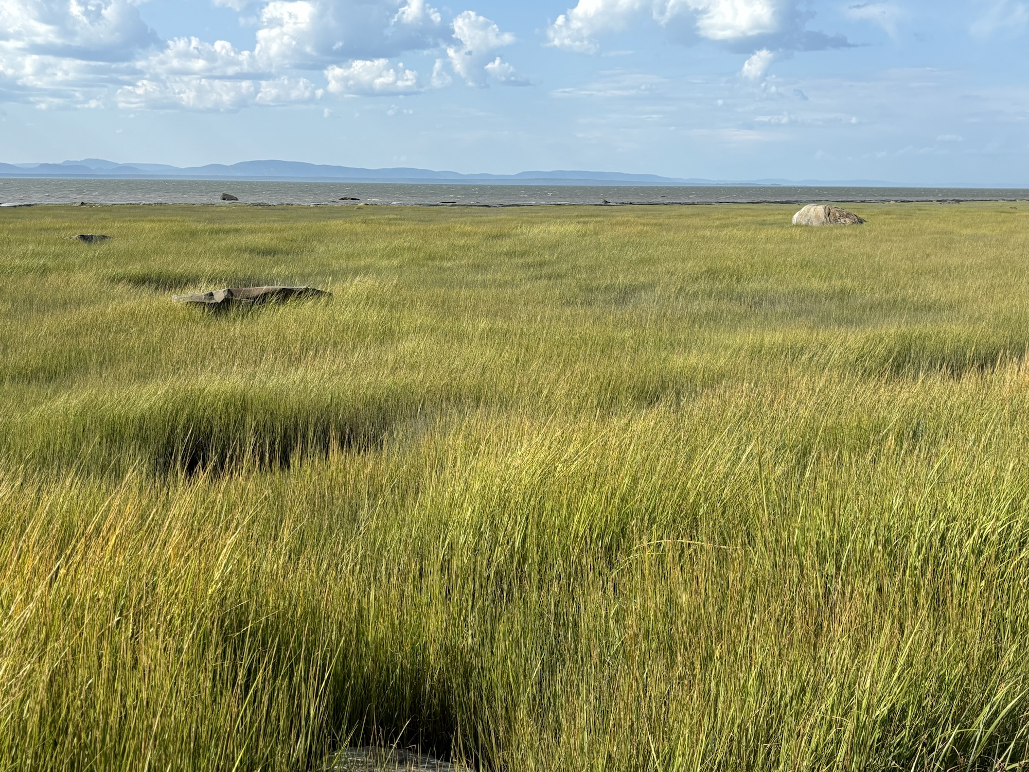
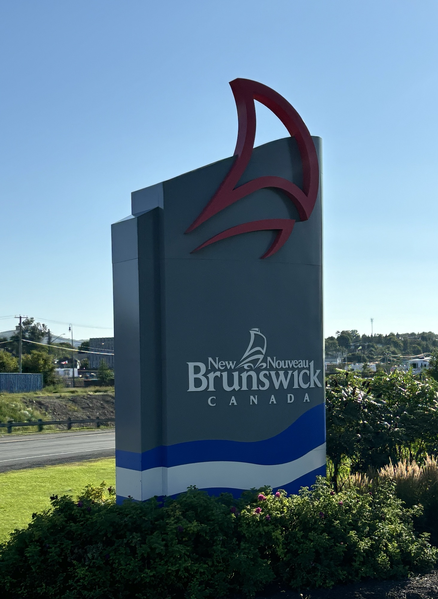
Finally, our last leg of the peninsula was a 200 mile run around the eastern end and back west along the northern coast of Chaleurs Bay to the border again with New Brunswick at Campbellton. The drive was different than the St Lawrence side but still full of vistas and beautiful landscapes.
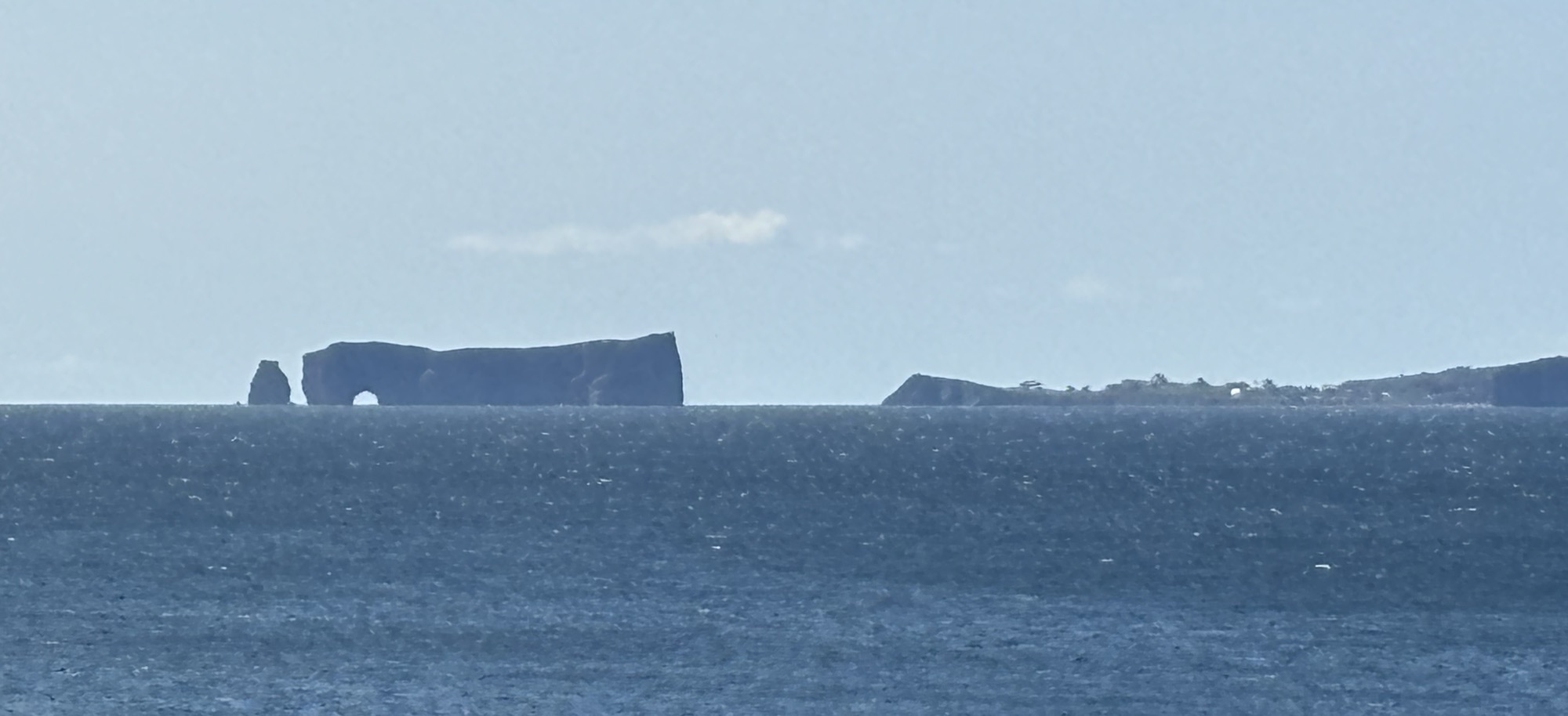
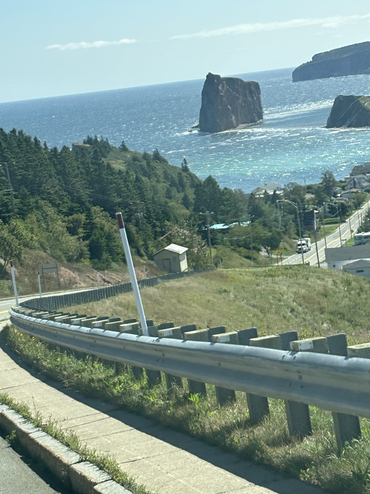
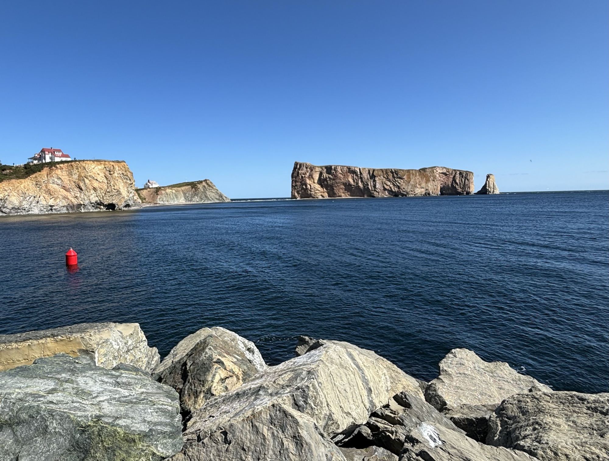
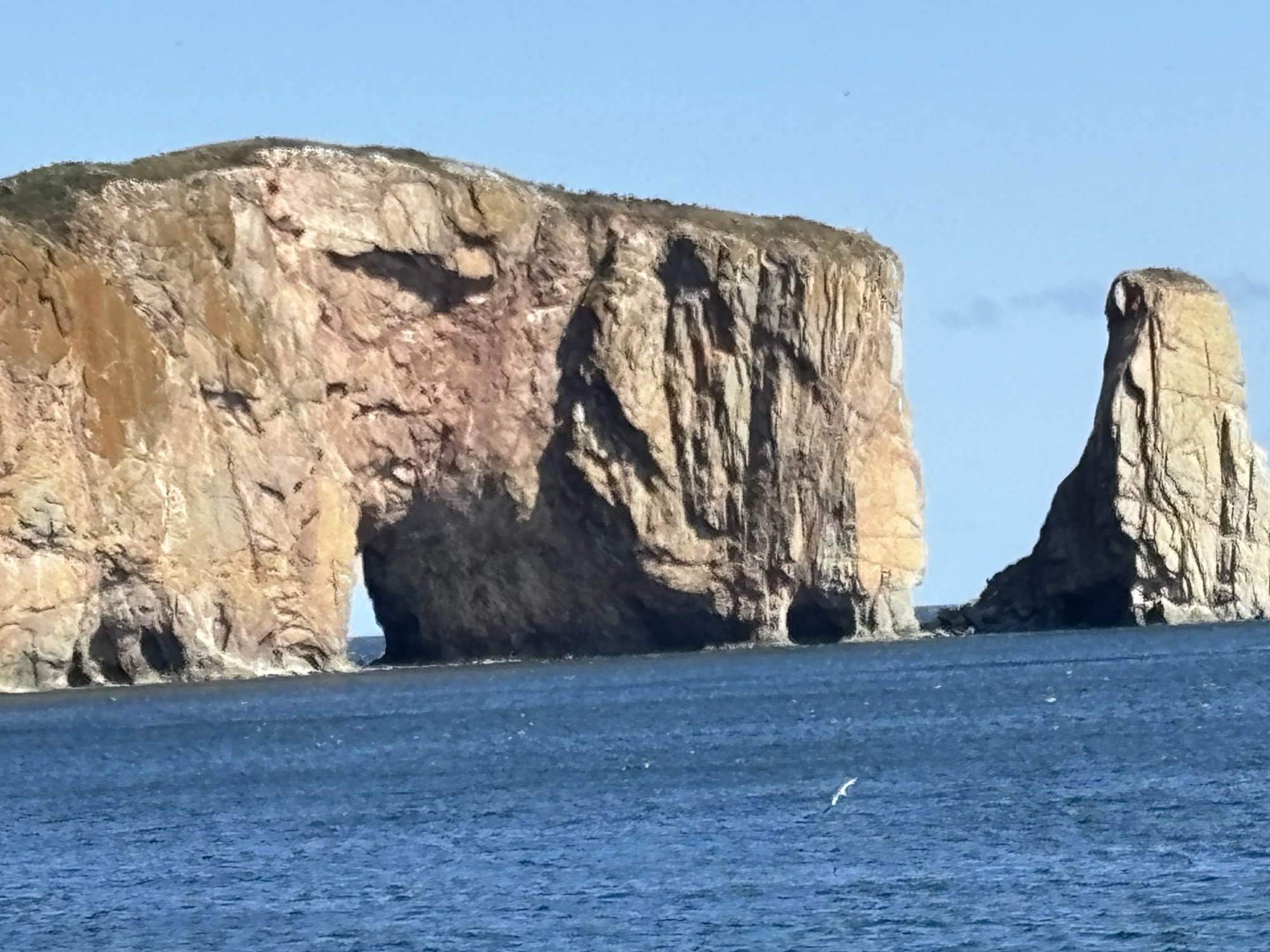
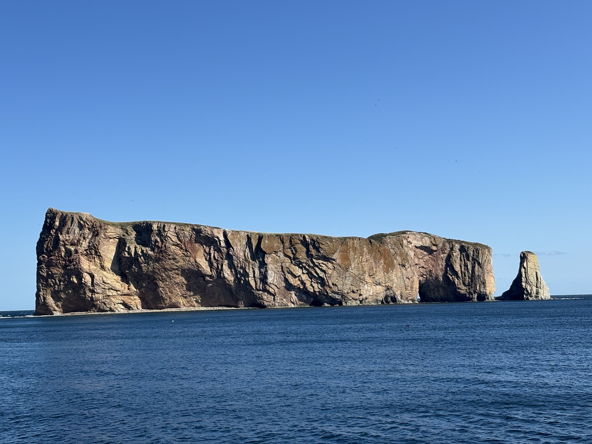
We stopped in Perce to see the famous Perce Rock. It is a small national park with the large rock (almost an island) just offshore. The whole town revolves around the rock. We saw the rock and went into a few shops and then hit the road again.
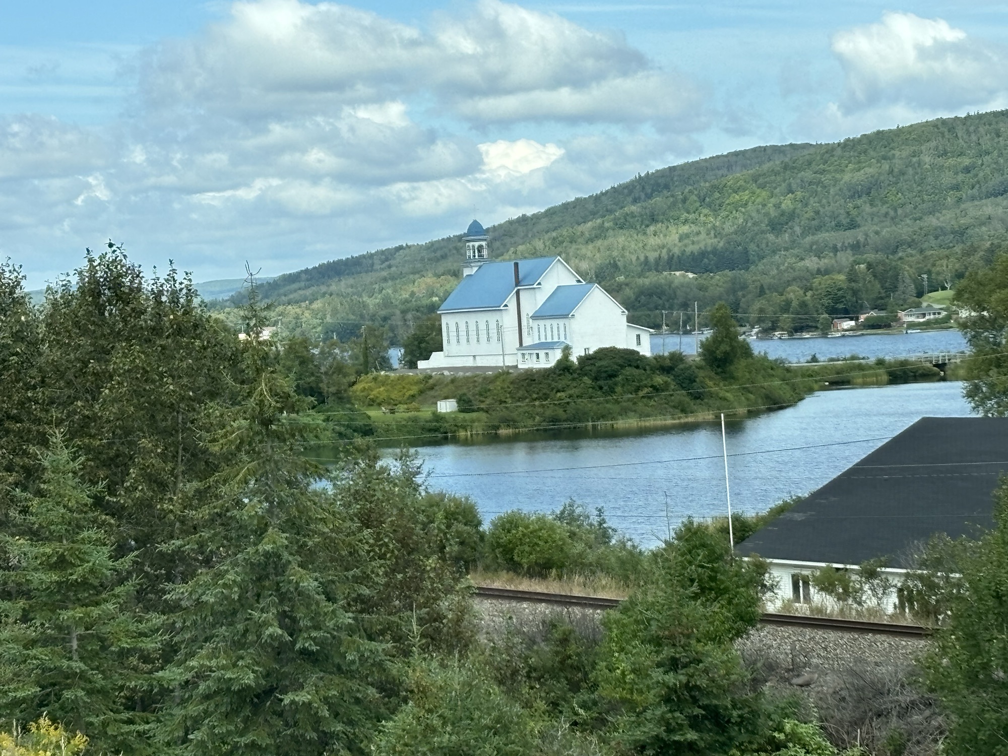
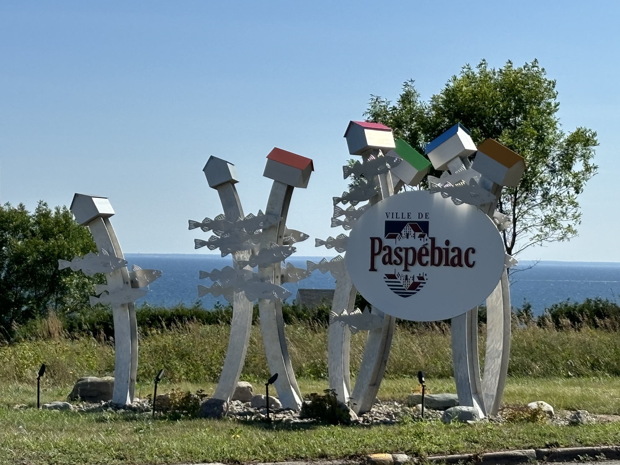
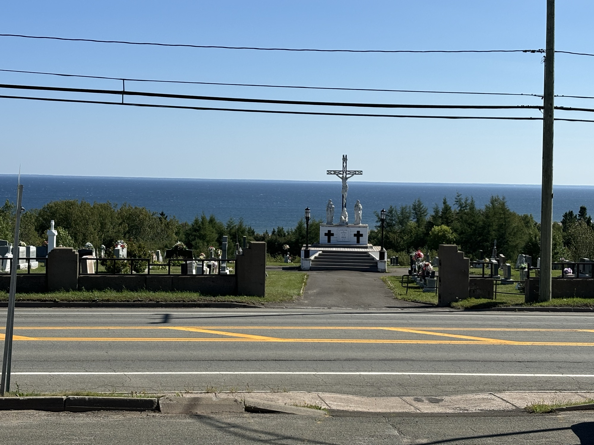
Our other stop was in Pasbeciac for a quick look. It is only of interest as my sister Diane’s second husband’s family was from there. We did a stop at the main intersection with the church and cemetery right on the waterfront. Then headed out again.
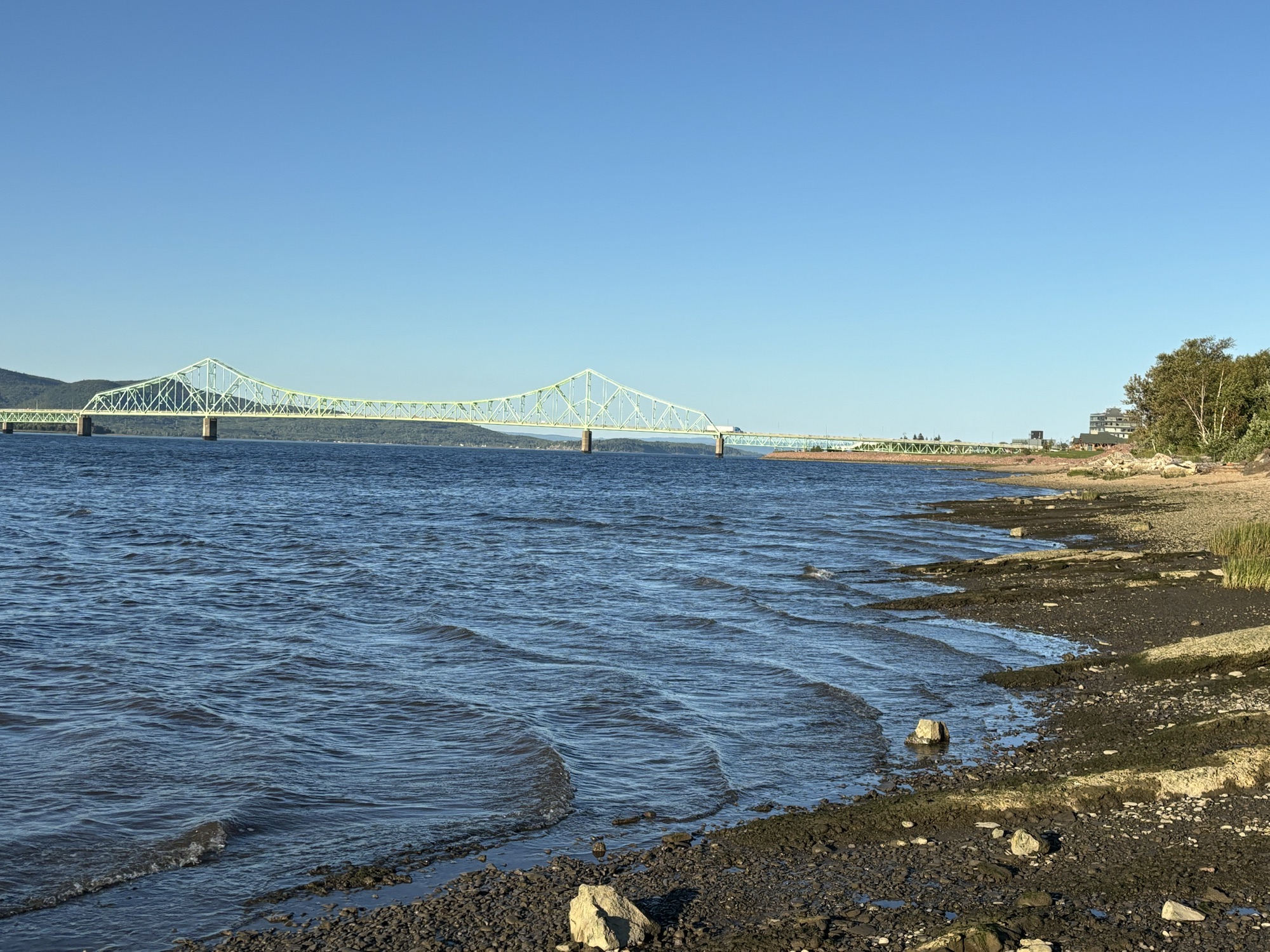
Our final stop for this leg was in Campbellton, NB at a large park right on the river. It was easy in and quiet for the night. We hit the Dollarama store for a few items, the ATM for a bit more Looneys, and settled in for a rest before going on to more of New Brunswick and then Prince Edward Island.

But also, there was a bit of a surprise in store. Check the next blog!
