
Crossing the border south of Val Marie, SK, was easy. I think the immigration guards were actually glad to see us. Probably glad to see anybody. We cleared and headed south then east to Glasgow, MT. It was not a “must see” stop but was still about a third of the way to the next stop. And it appeared to be an easy drive as well.
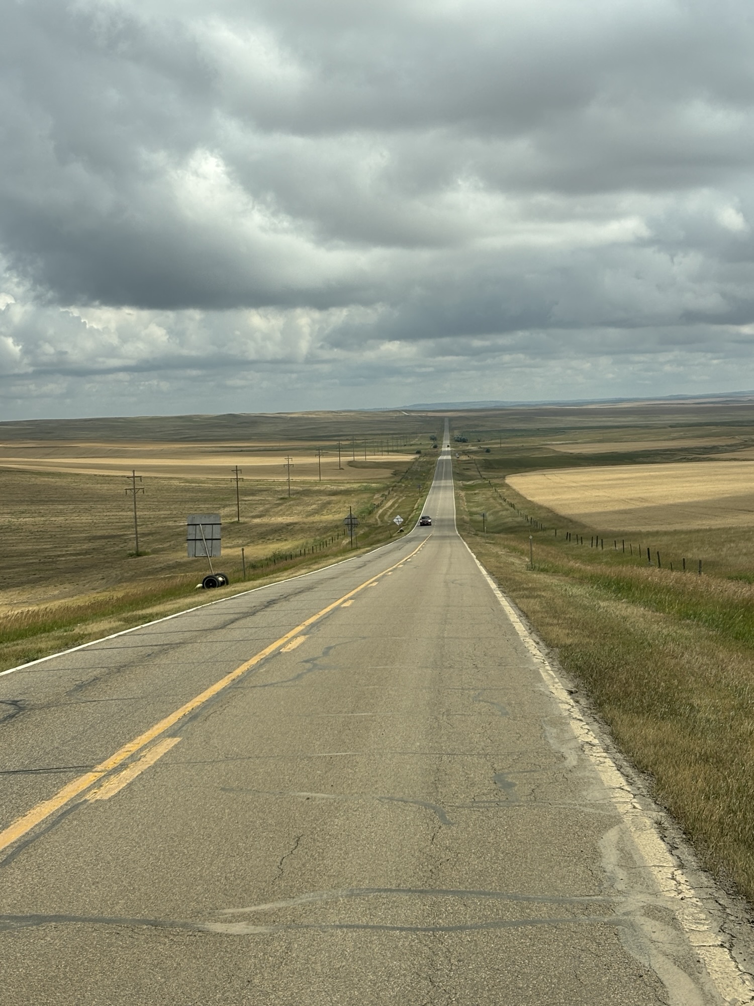
The topography didn’t change much either as we crossed. Large fields of wheat but very minimal canola. Maybe that’s a Canada crop and not so much of a US crop. But the fields were still amazing to me as they stretched to the horizon.
The town of Glasgow is right on Hwy 2. The first time we saw Hwy 2 was when we were in Houlton, Maine where it crossed with Hwy 1 and again in St. Ignaus, MI, where it started a second westward stretch to the ocean.
Glasgow proudly claims to be “The middle of Nowhere”! Can’t argue about that although we have seen some other places in the past 2 summers that could claim the same! Maybe more! Anyway, it is a small, cute town.
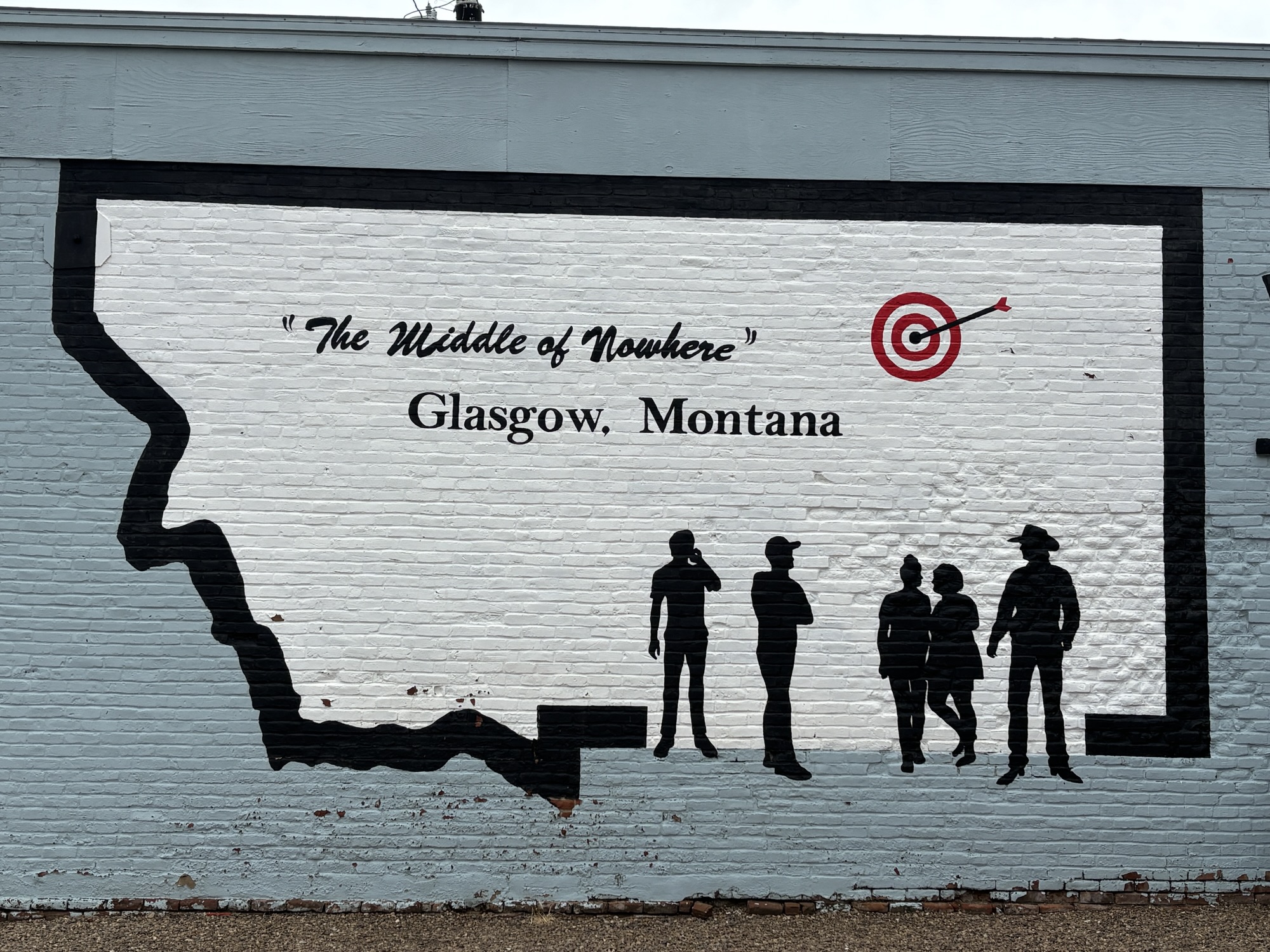
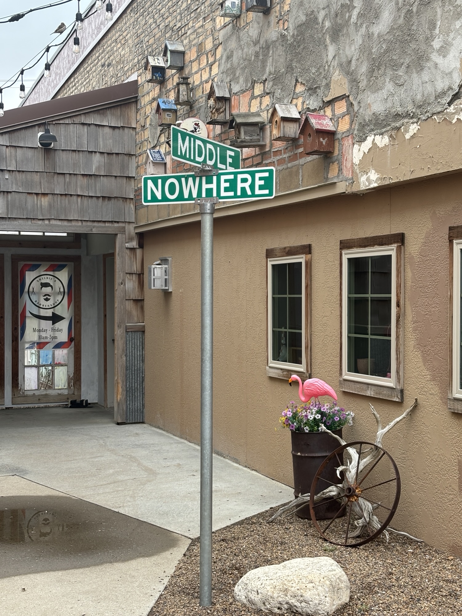
We made it to the campground and got settled. Nothing special except we were back in the US and could use our Starlink to watch our DirectTV. That’s another story!
Another long story involves closing on my mother’s estate property in Austin. My Mom died in February and had one piece of property in her trust. It had belonged to her father before, so it had been in the family for over 80 years. My younger (and middle) sister was the original executor, but she passed away in May naming me the next to take over. So here I am in Canada trying to work on this long distance.
We got an early and legitimate offer for the property, accepted it, and the closing was now. We signed all the paperwork on-line with a remote notary. Technology these days! The process was easy as the notary walked us through the process with digital signatures. It didn’t take long and was much better than signing docs by hand over and over as in the past!
Gail got me to go into town for a walk and some quick shopping. We bought a new outdoor thermometer, some hand cream and Huckleberry muffins! After a quick trip to the Albertsons and her finding her coffee creamer (yea!), we headed back and got ready to cross the border again the next day.
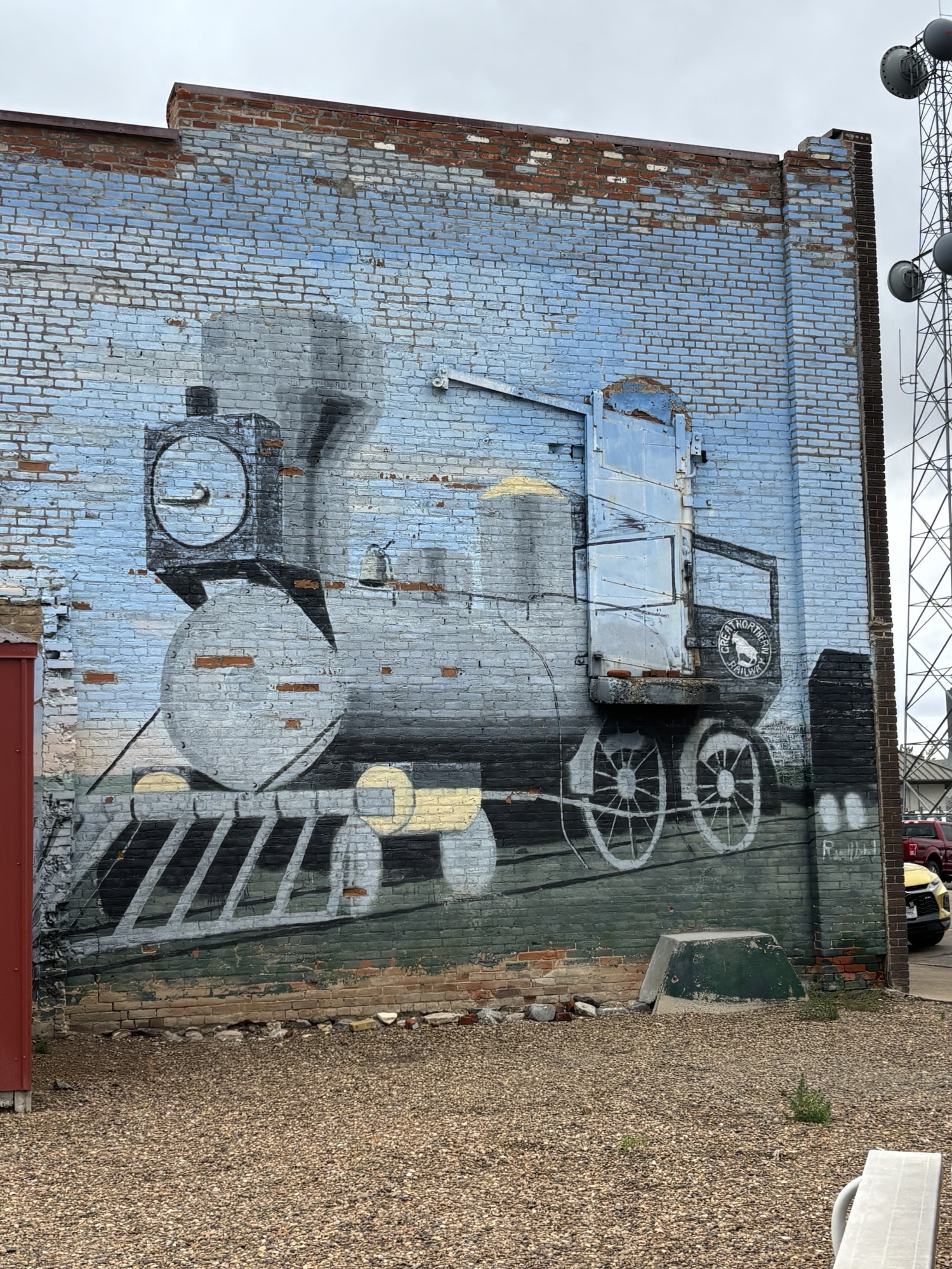
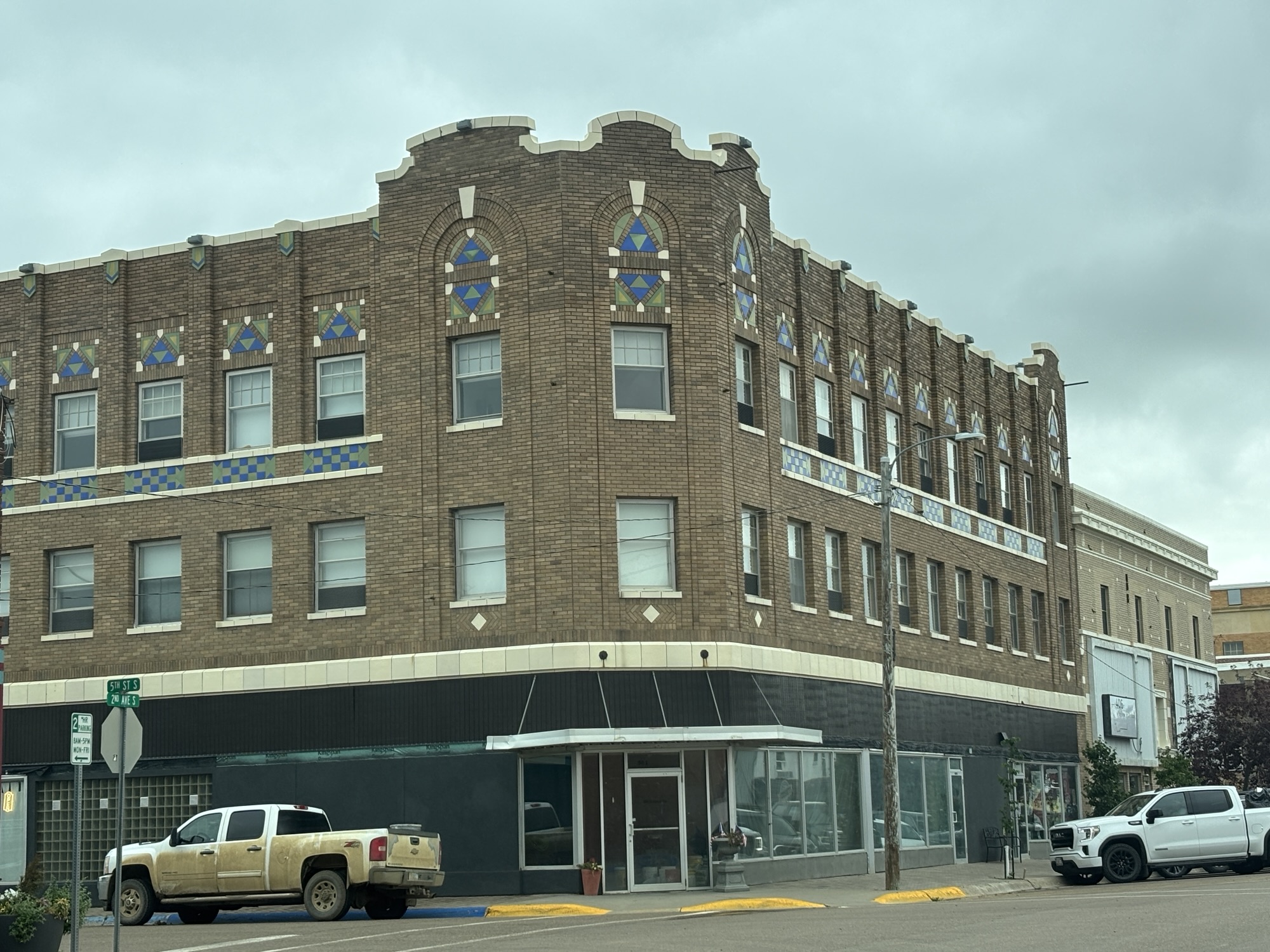
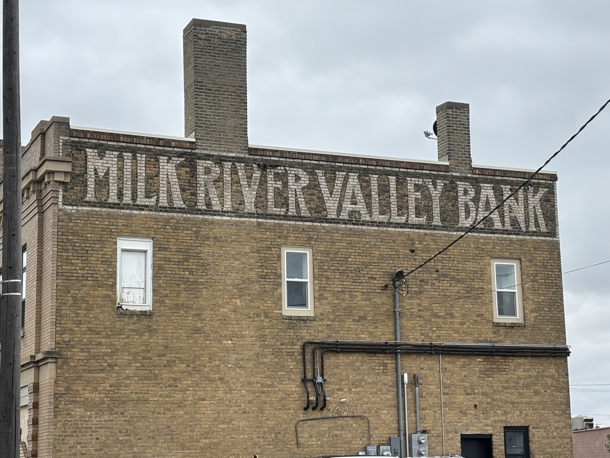
This time the border was not guarded as we crossed into North Dakota. I had been in the state about 66 years ago when our family took a summer vacation from our home in Rapid City, to Winnipeg, Manitoba, over the 4th of July weekend in 1960 (or maybe ’61 – I was only about 11). But this was a new state for Gail and her 44th overall.
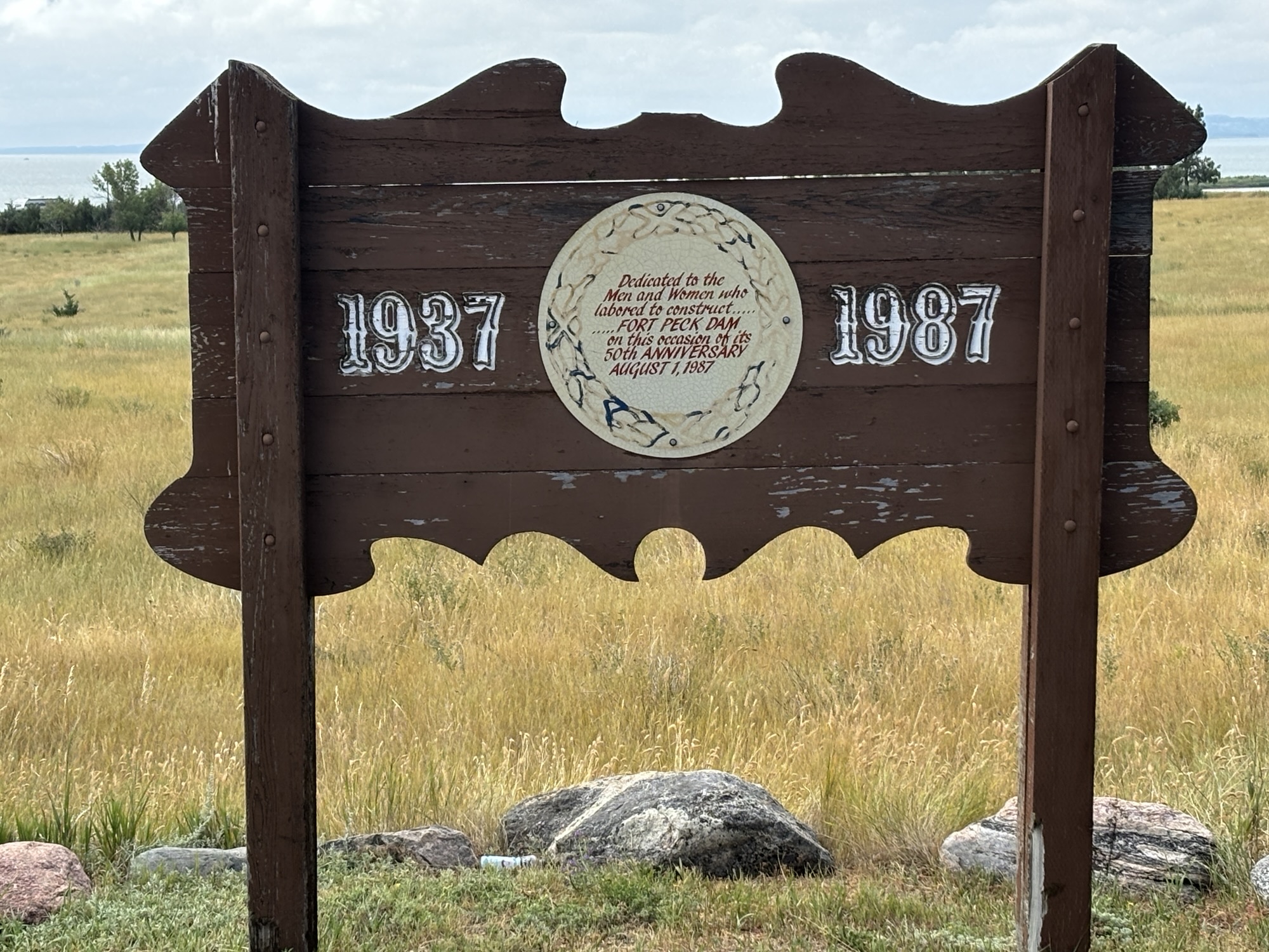
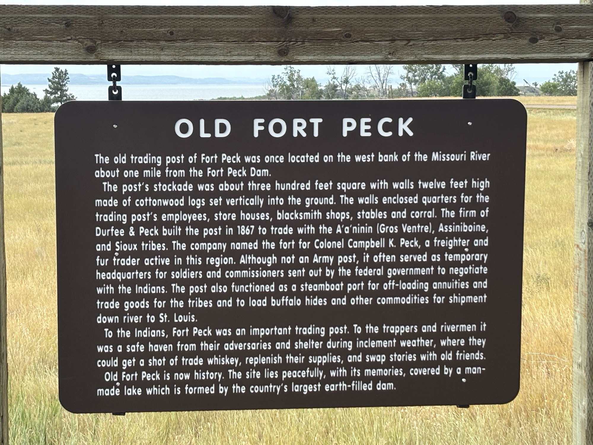
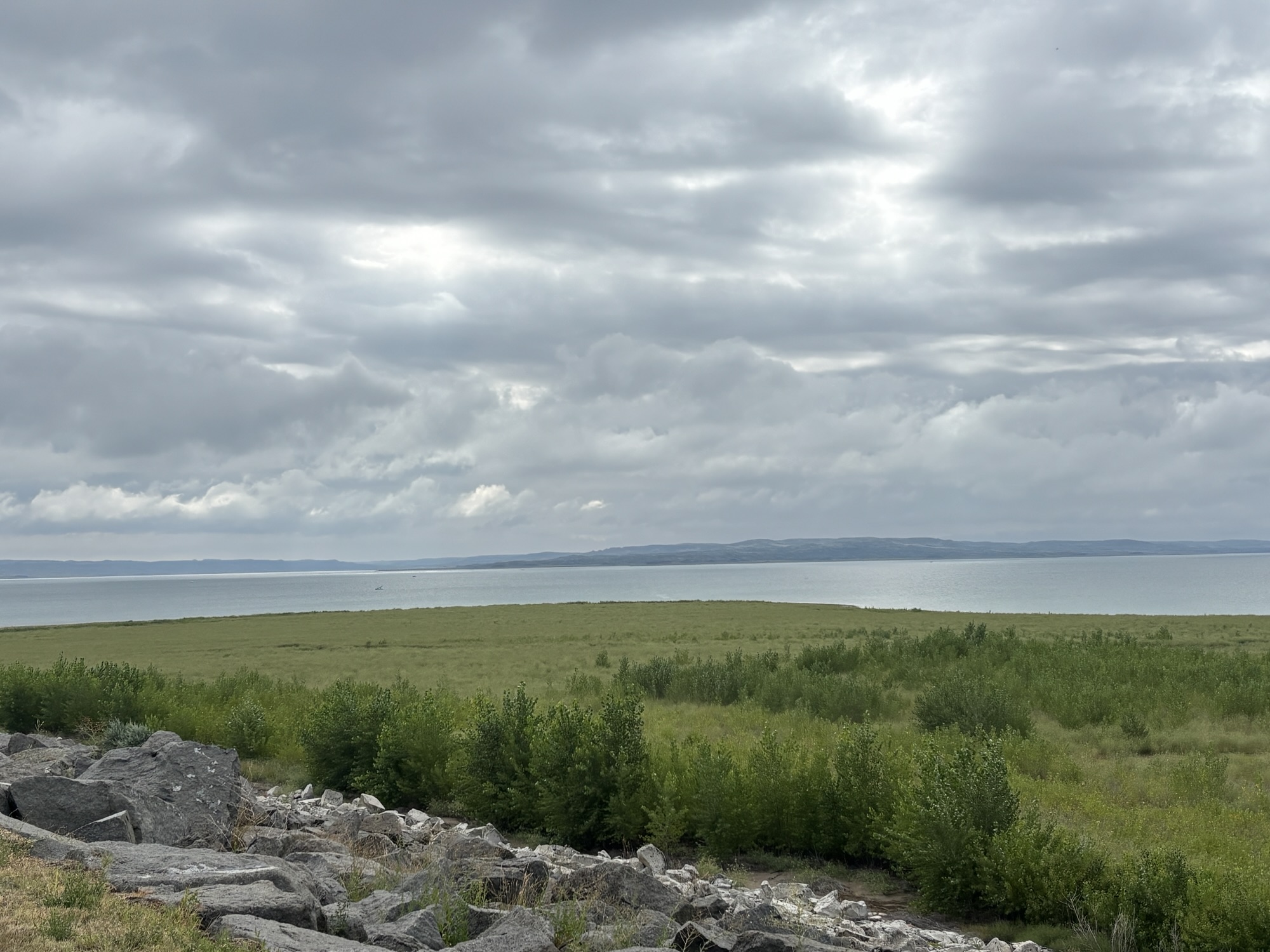
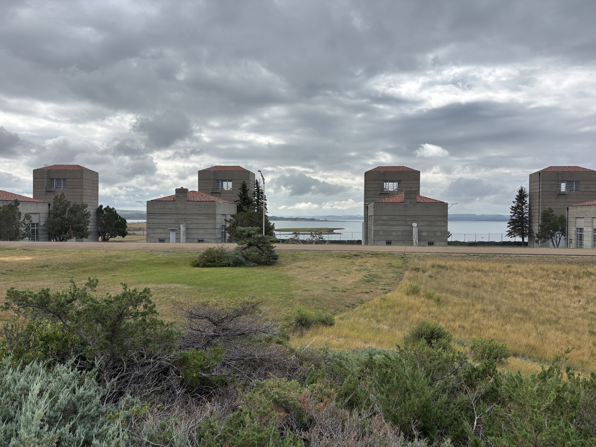
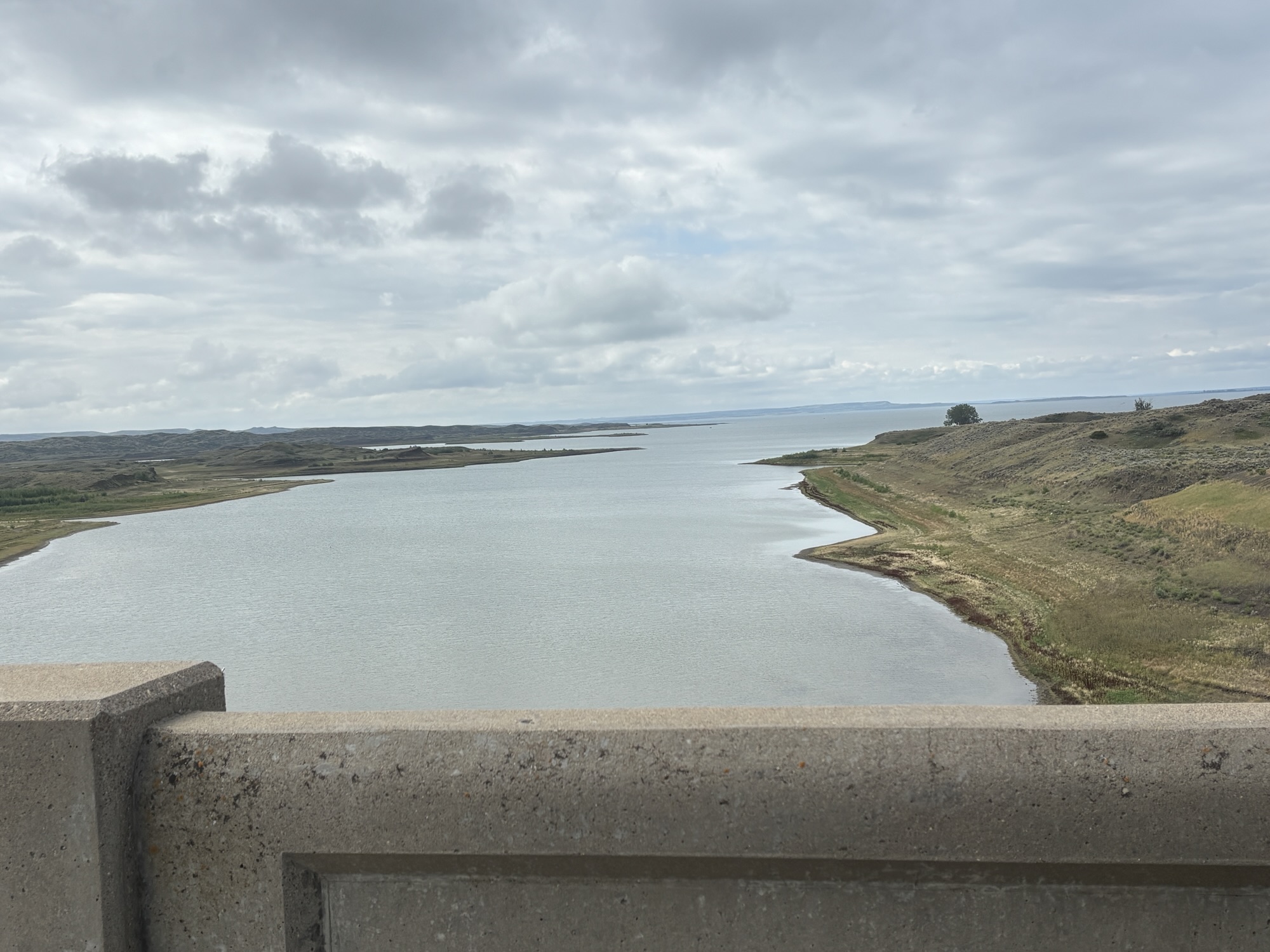
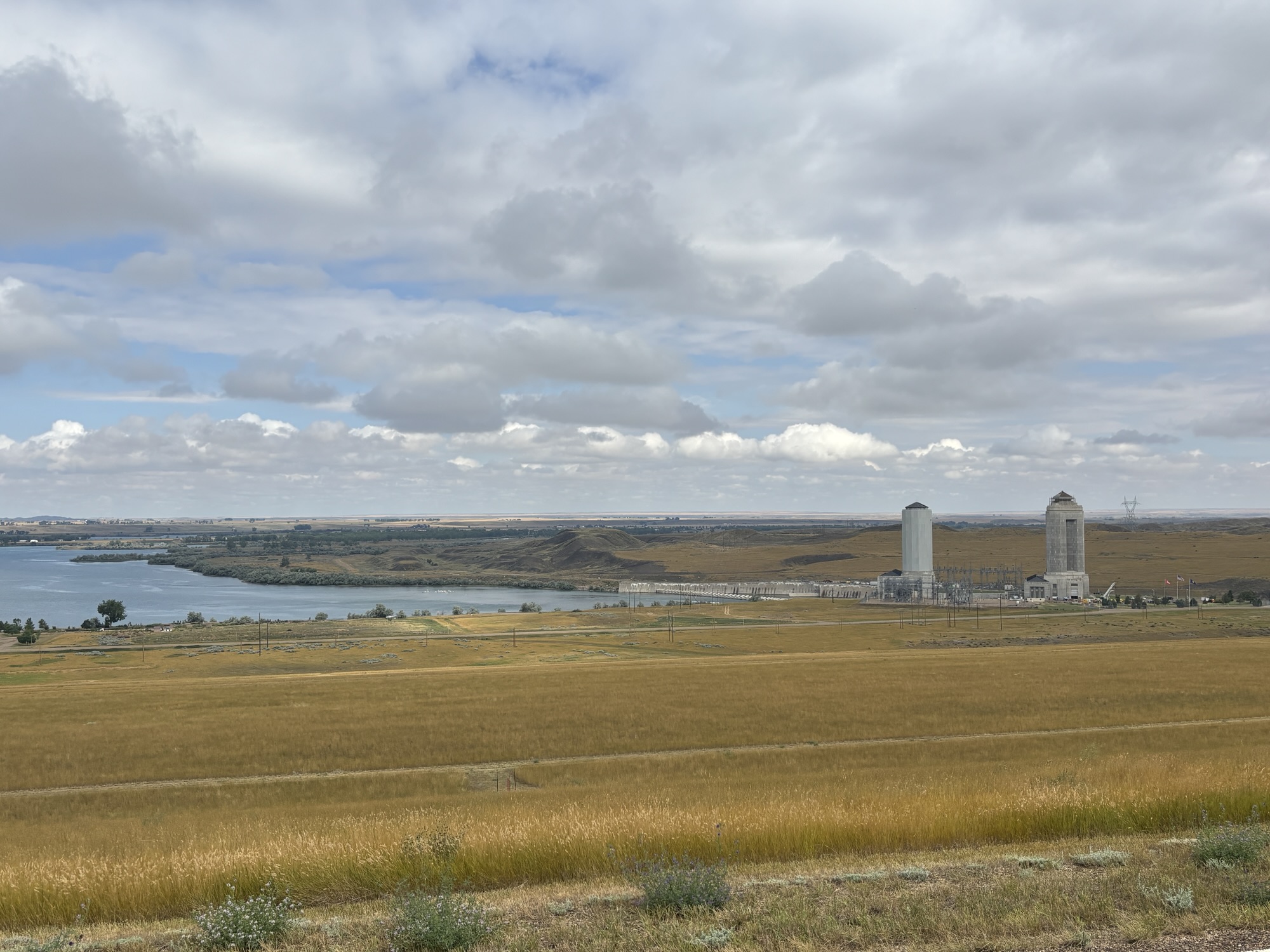
Our destination was the town of Medora, ND and the Theodore Roosevelt National Park. We headed out on Hwy 42 and then Hwy 24 to go by Fort Peck Dam and the lake. The dam has a very interesting history as it was built in the 1930’s as a CCC project and was one of the largest employers in the WPA projects. And it created the 5th largest manmade lake in the US. It is still a major hydroelectric dam and huge recreational lake.
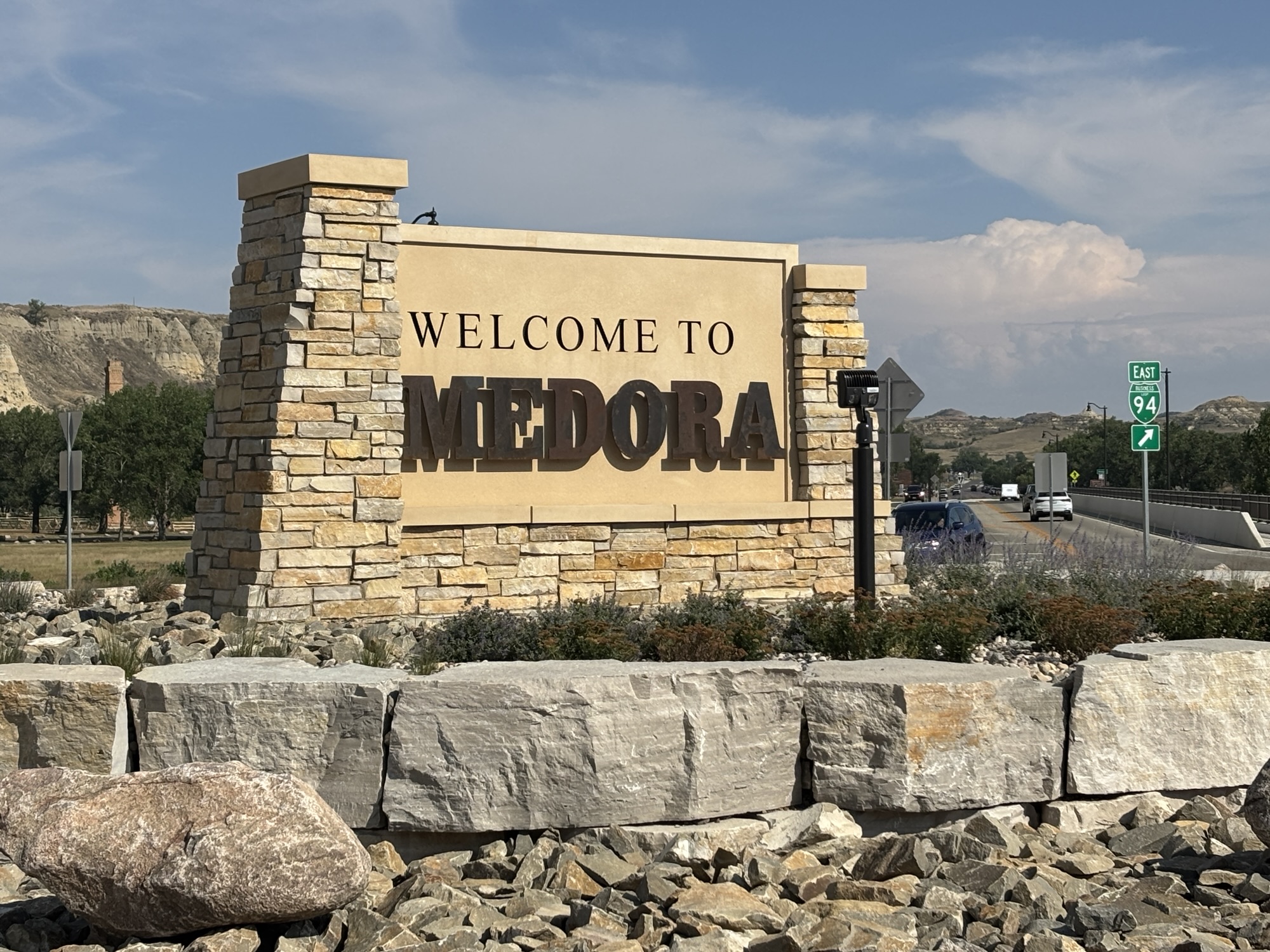
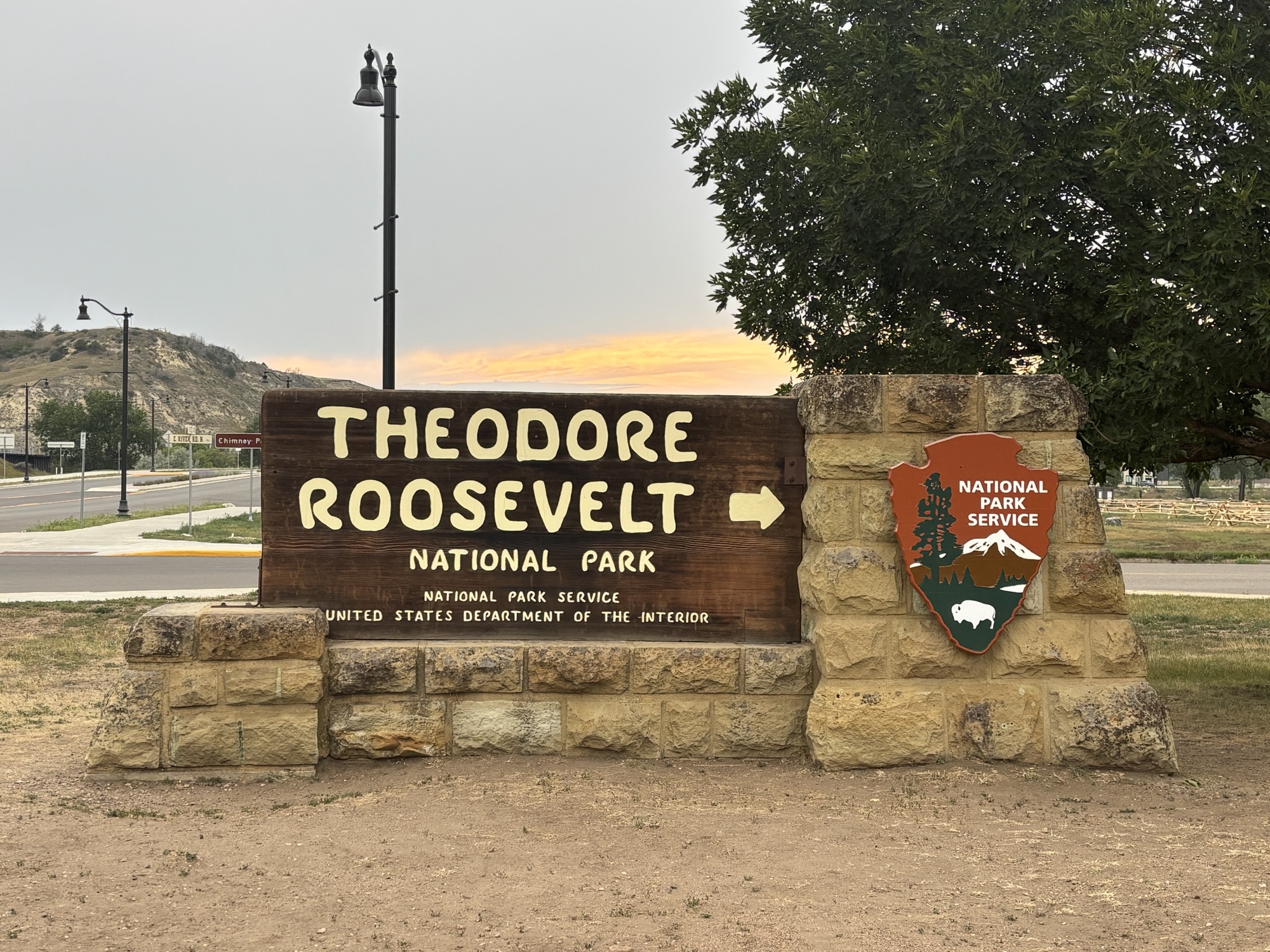
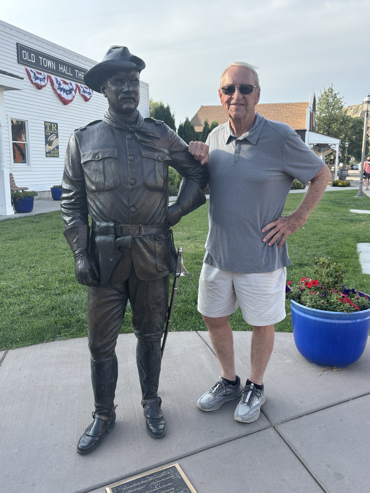
After only about 30 more miles after we crossed into North Dakota, we reached Medora and the Medora Campground. We knew that Roosevelt National Park was there, but we didn’t know much more. Basically, Teddy Roosevelt came here as a 25-year-old kid from New York in 1883 to hunt a buffalo. You can imagine how he was greeted by the local cowboys. City kid with glasses. But he made himself welcome and proved his capabilities. He even bought a ranch and thus began his love for the wide-open plains. He gives much of the credit to the area for his later presidency.
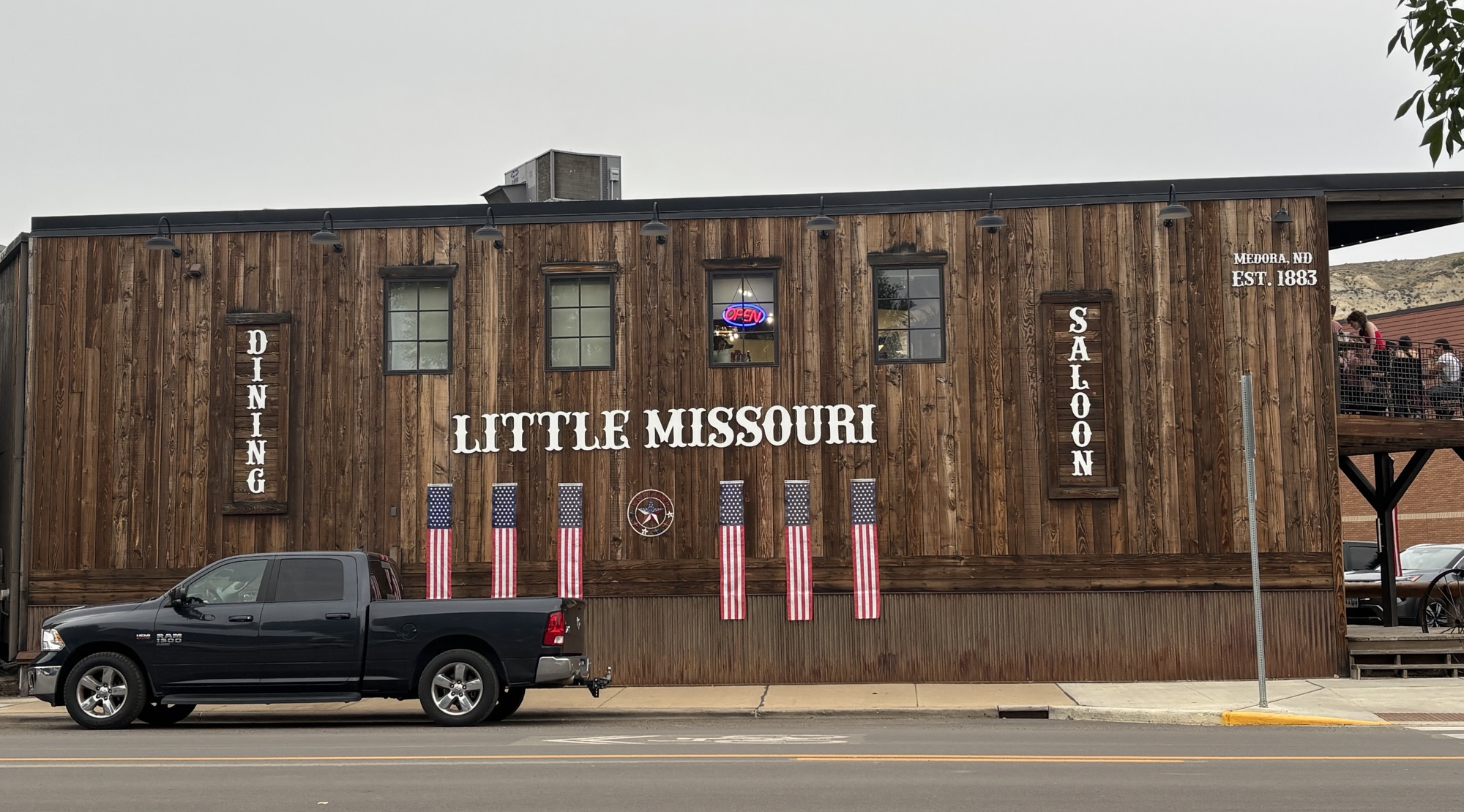
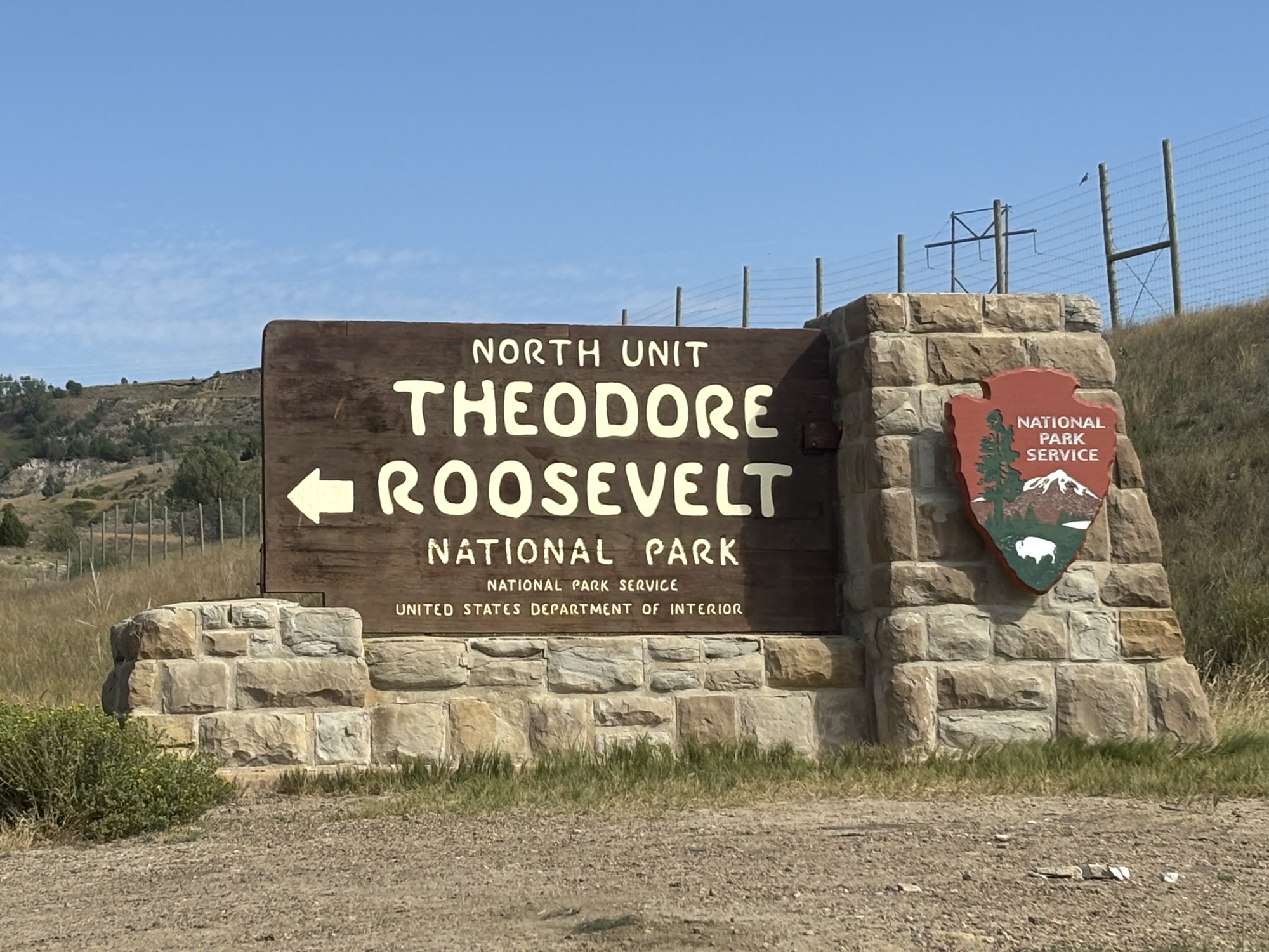
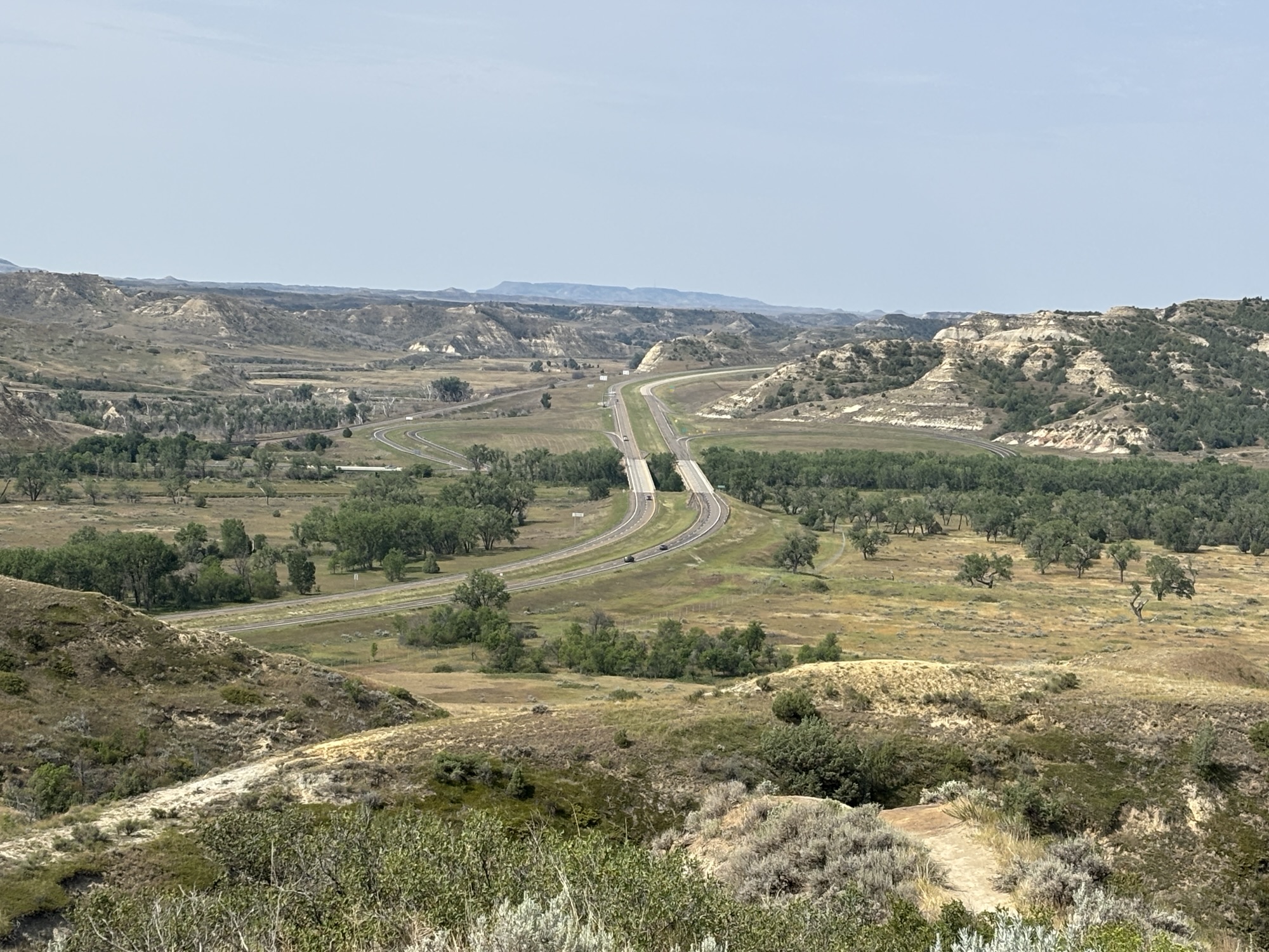
The park is divided into two sections about 60 miles apart. The town of Medora is where Roosevelt first visited North Dakota and is the entrance to the southern part of the park. The town is definitely geared to tourists, but it’s small enough to not be too touristy. The northern unit is much more remote and was added a year after the original area to protect a separate, highly rugged, and remote section of the Little Missouri Badlands.
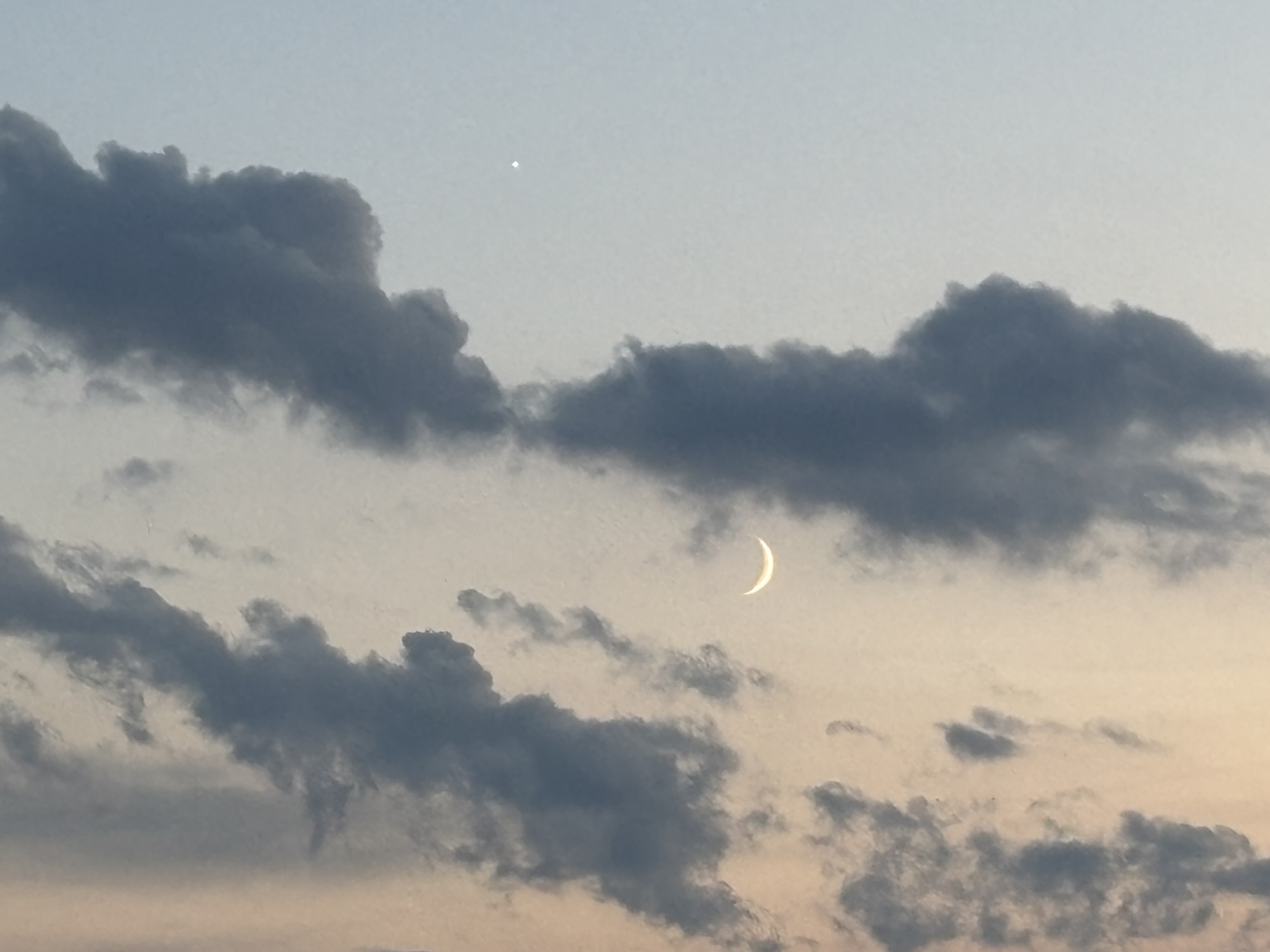
The first night we were there, we noticed at the visitor center that the rangers were hosting a star gazing program in the park close to town but out of the city lights. We decided to drive out and see if we could finally see some stars. There were about 15 telescopes being set up by a local astronomy group and were in the process of calibrating them and looking for specific planets, stars, quasars, and nebula.
It finally got dark enough to see some things in the telescope lens, but we wanted to see more of the sky and not necessarily minute things magnified. We left the group but stopped several times along the road back to town to see the sky and the constellations. Nice!
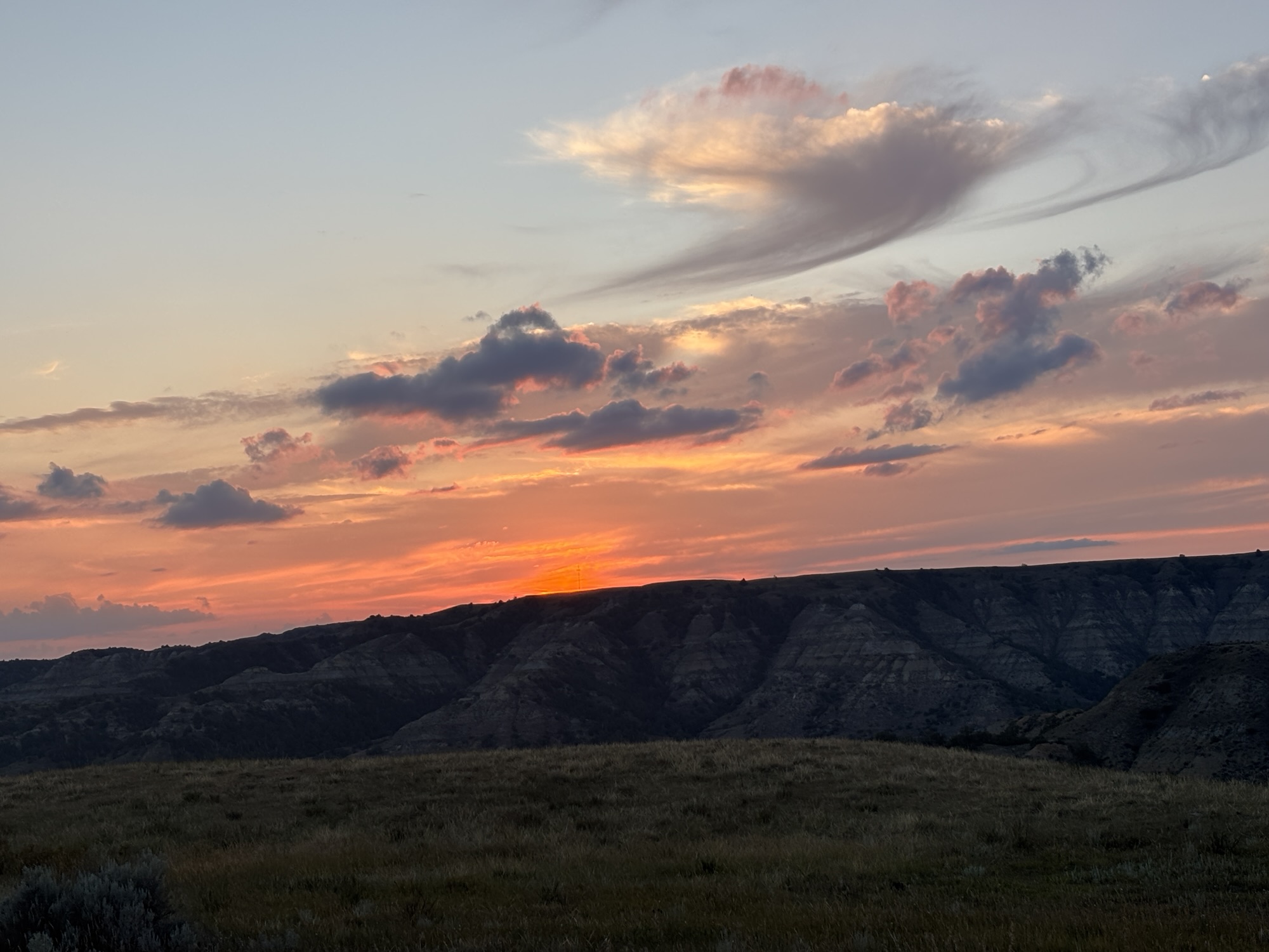
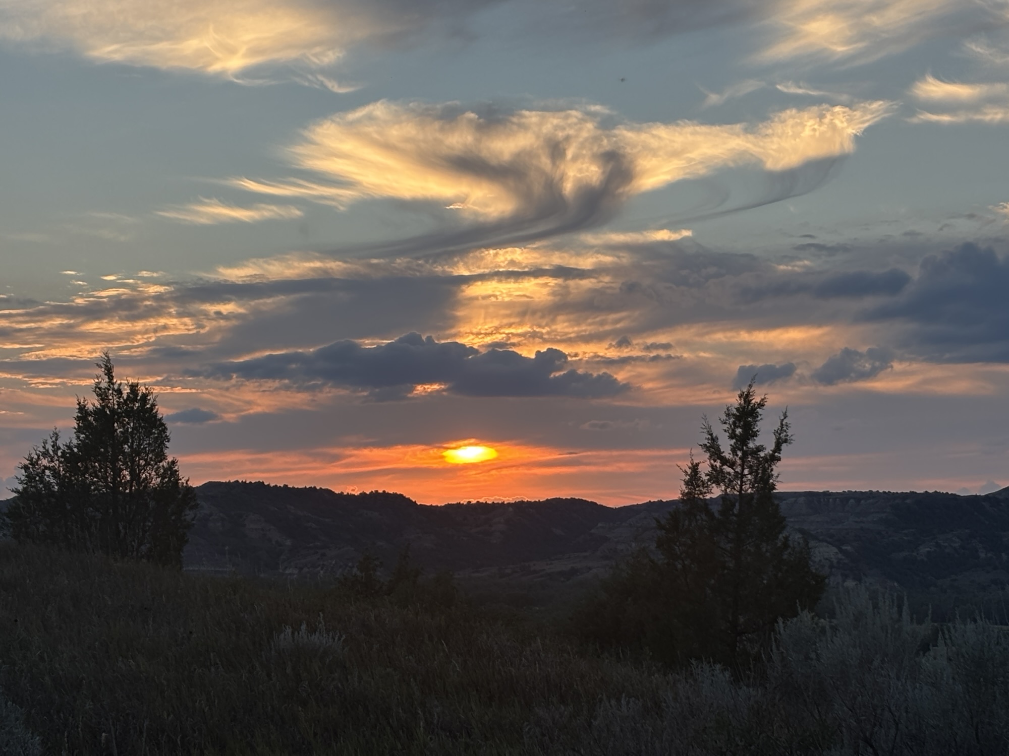
The next day we drove up to the northern unit. Being Sunday, we felt it might not be as crowded as the main park. The drive up goes east on I-94 for about 15 miles then north up to the park. The road up was under construction for most of the way. But being a Sunday, the equipment was quietly sitting beside the road and not out blocking the road! We do think it was the most dump trucks we have ever seen parked in a row along the road. It was slow but we made it and stopped at the visitor center for some guidelines.
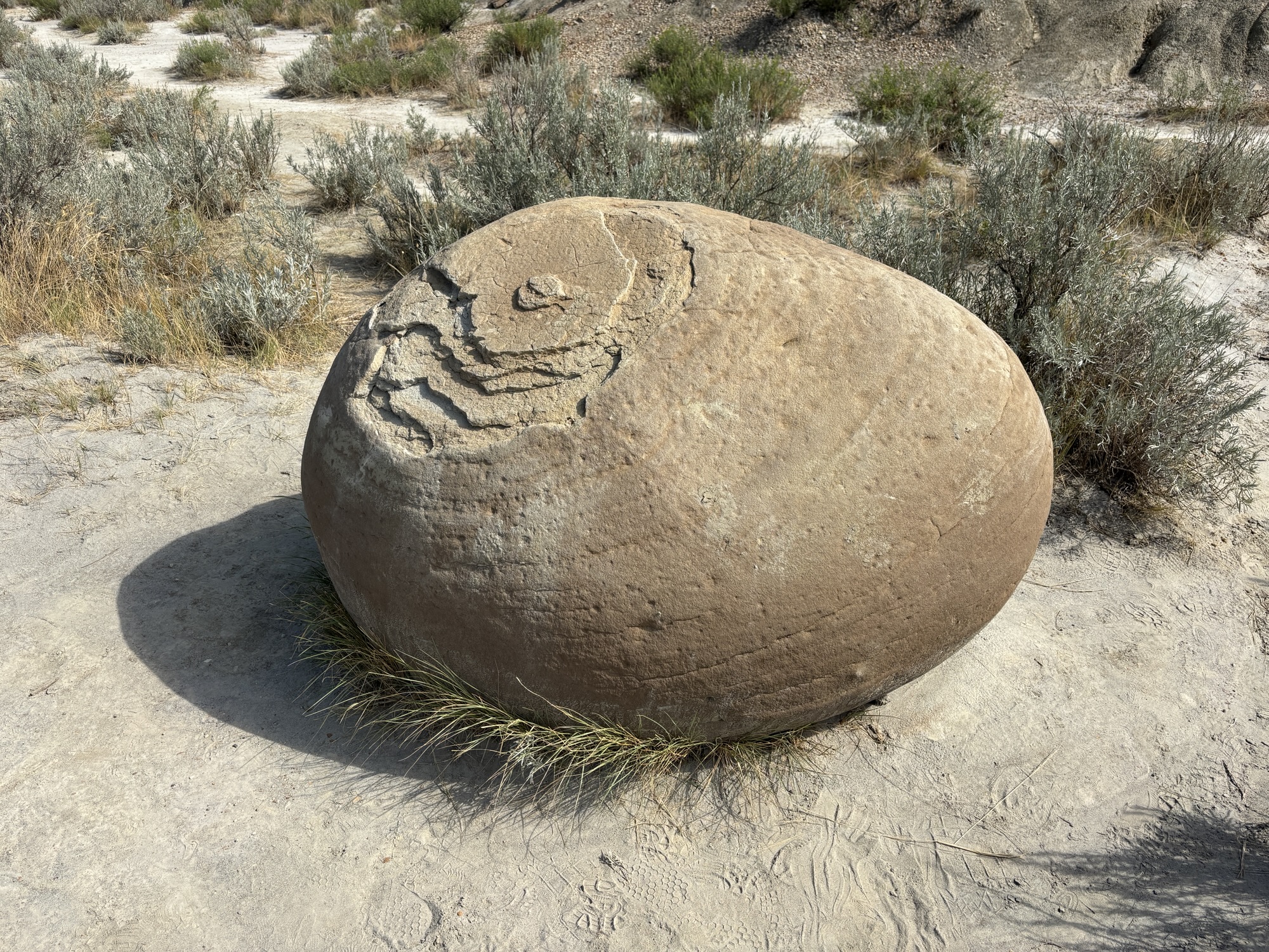
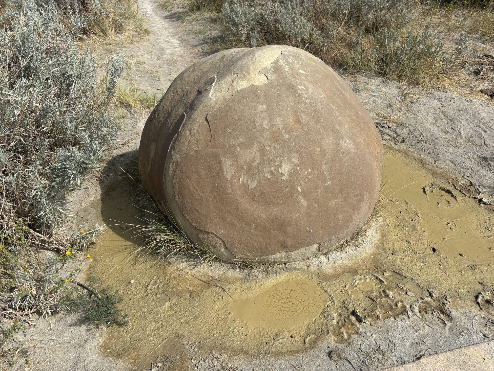
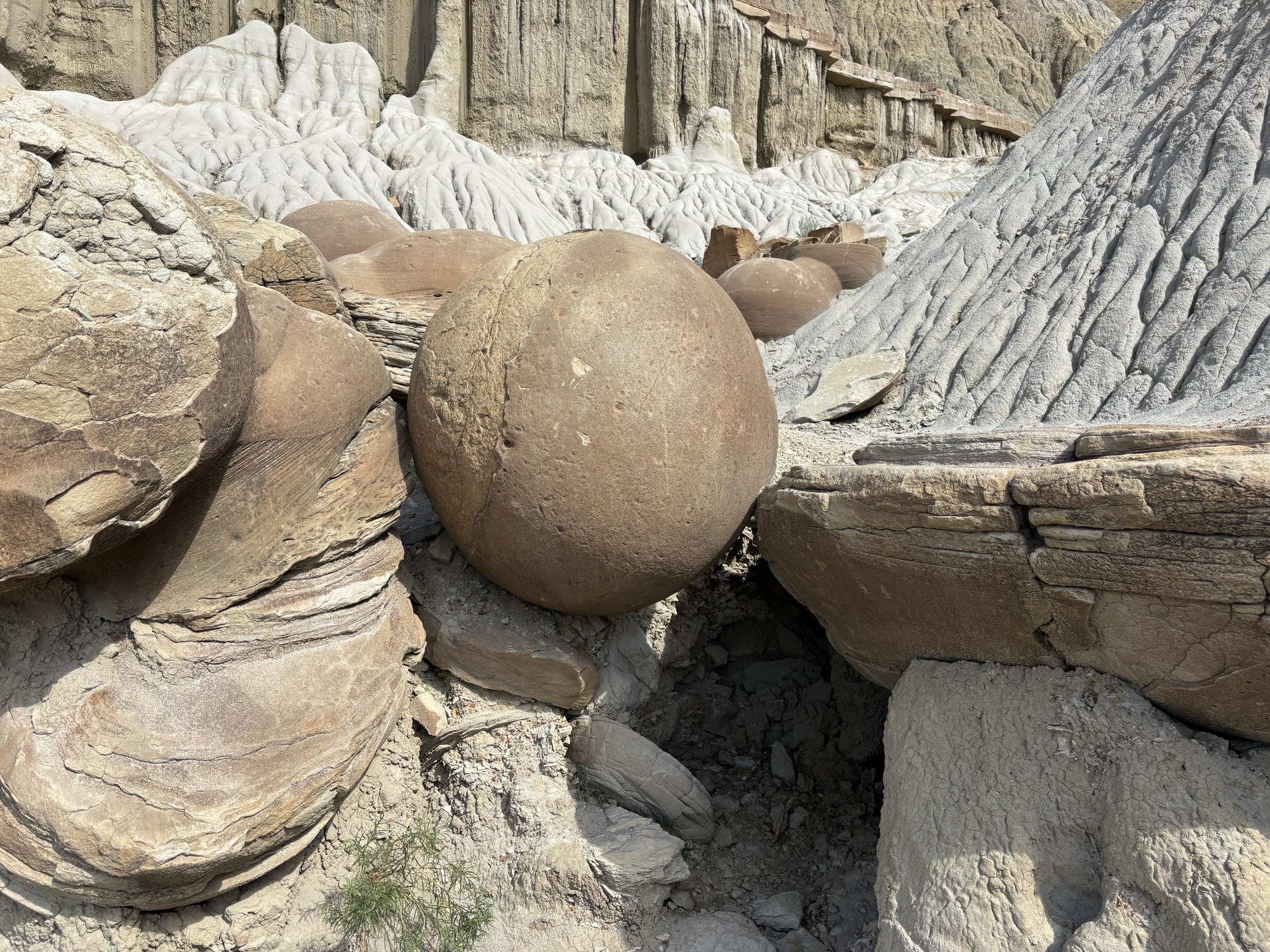
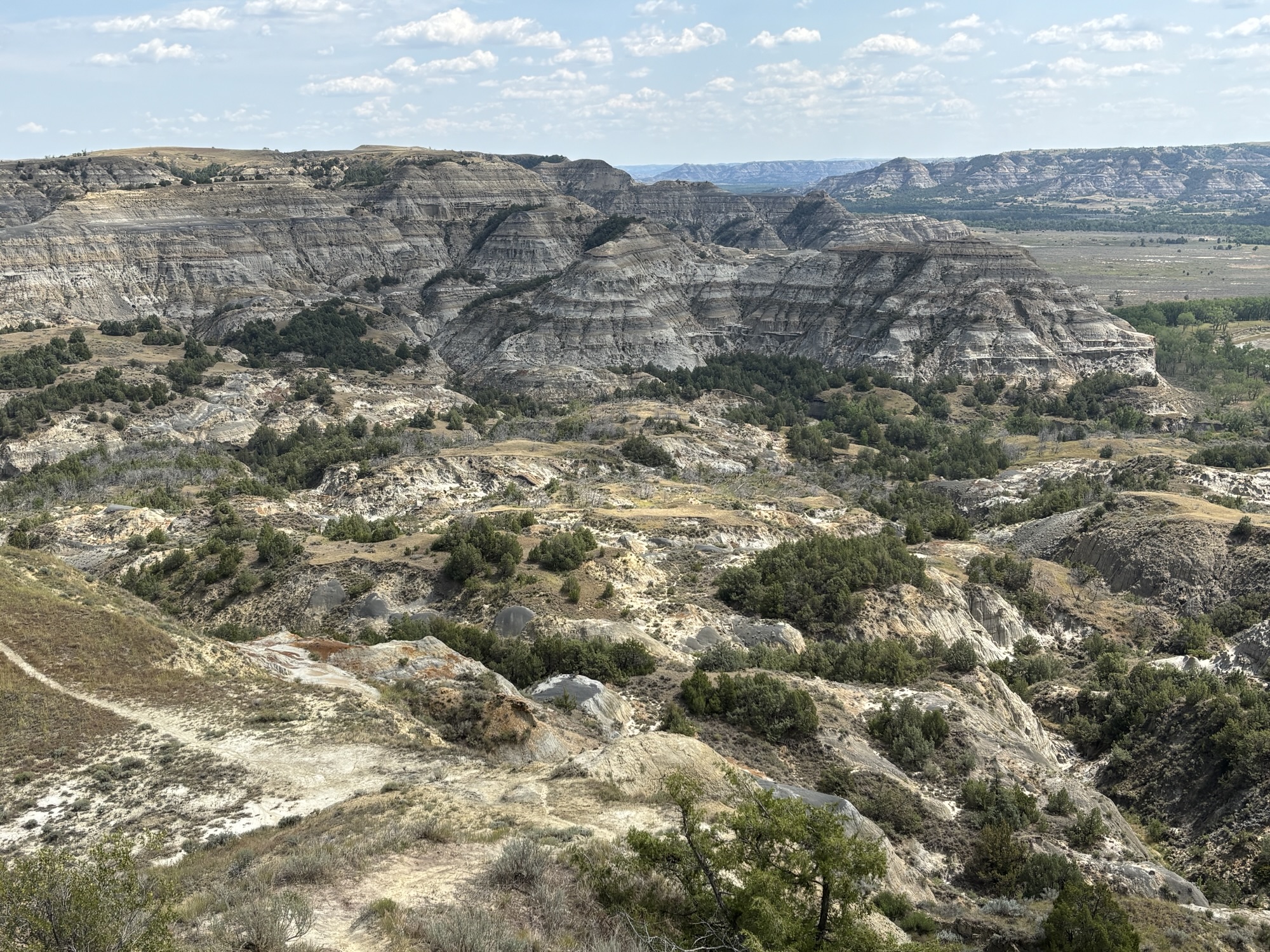
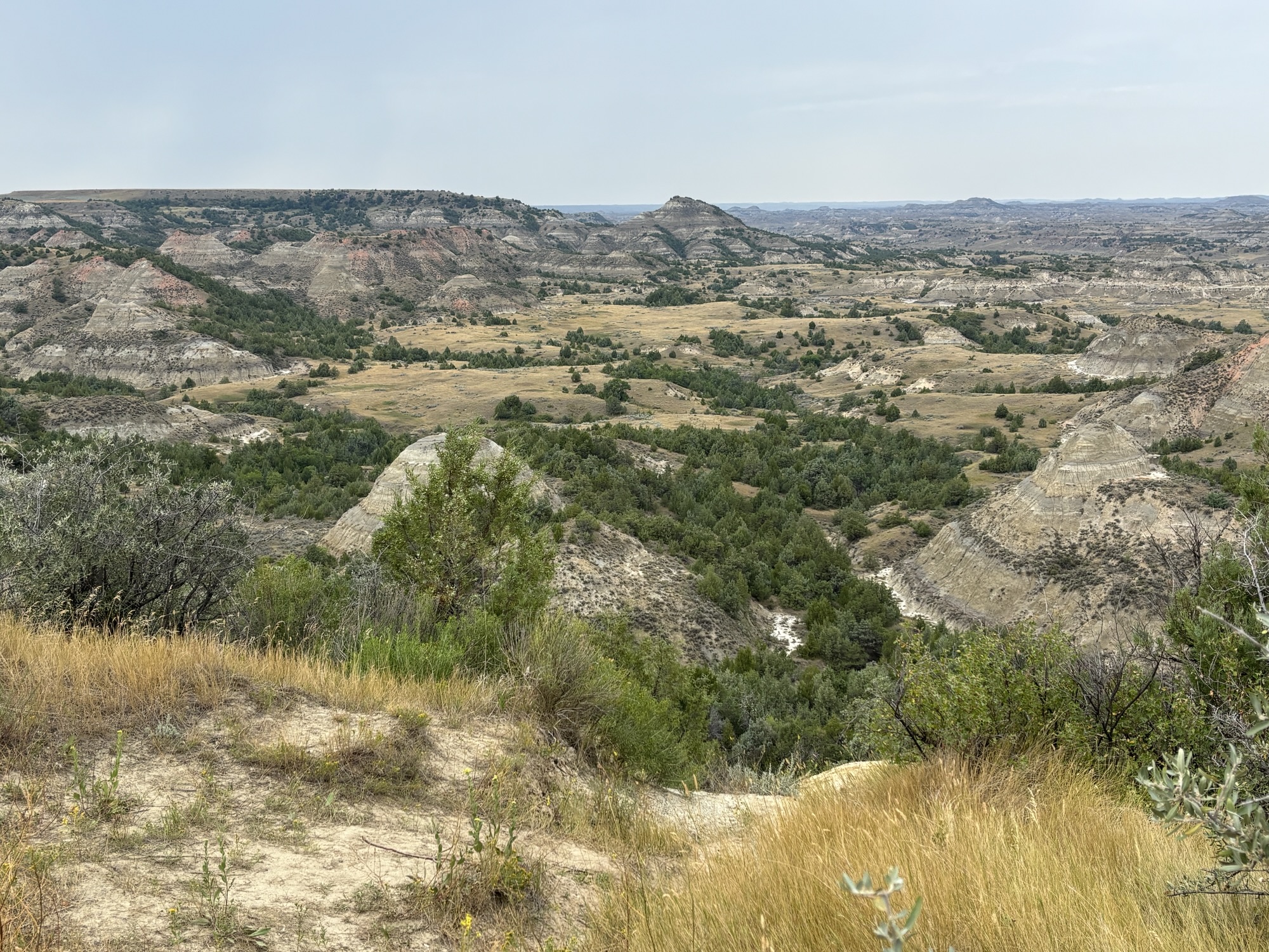
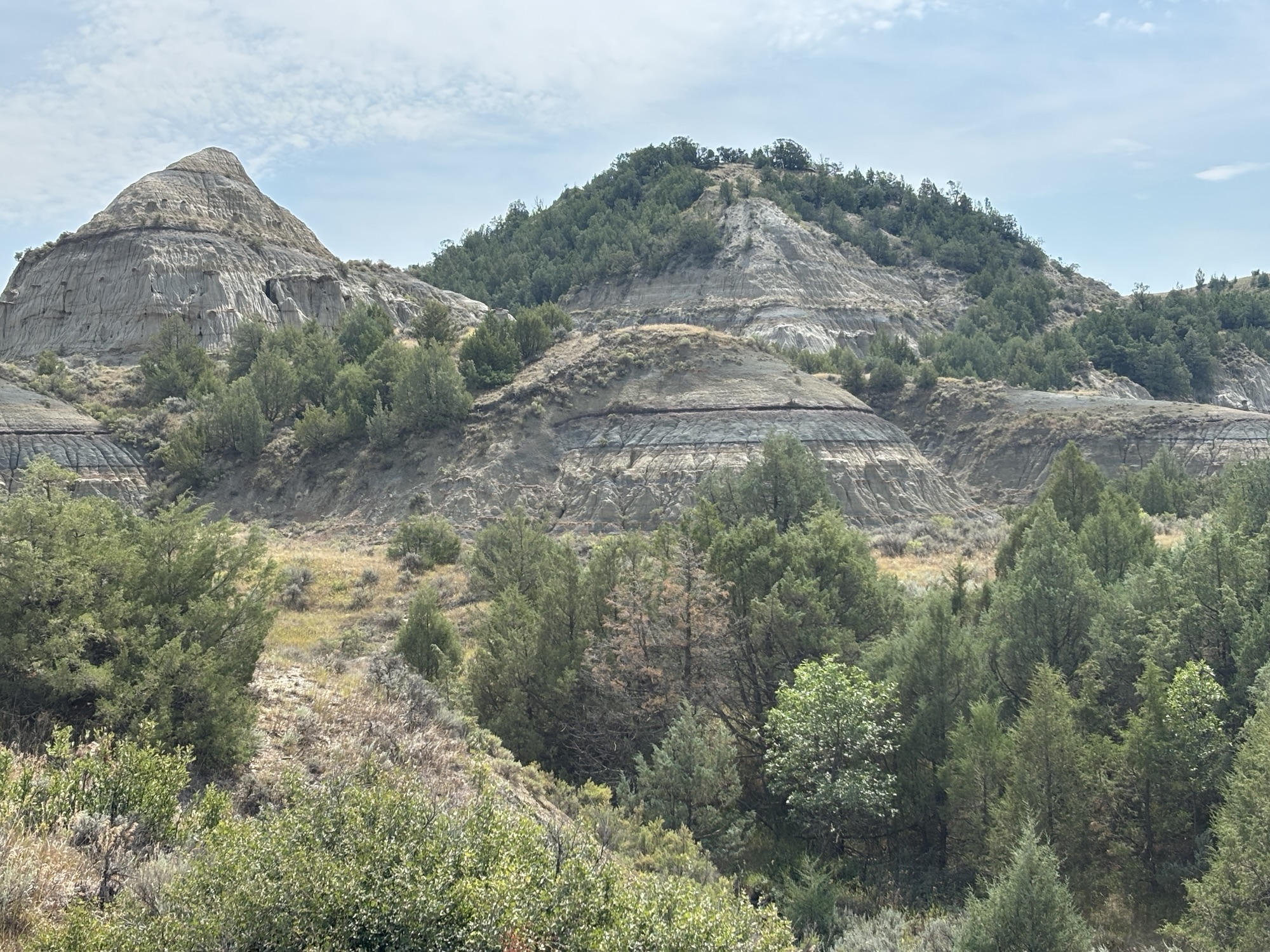
The park road is an out and back 28 miles round trip along the badland valley. The drive was scenic and we stopped at the overlooks until we got to the end. Most interesting were the “cannonball” formations that are round rocks left behind as the softer layers are eroded away.
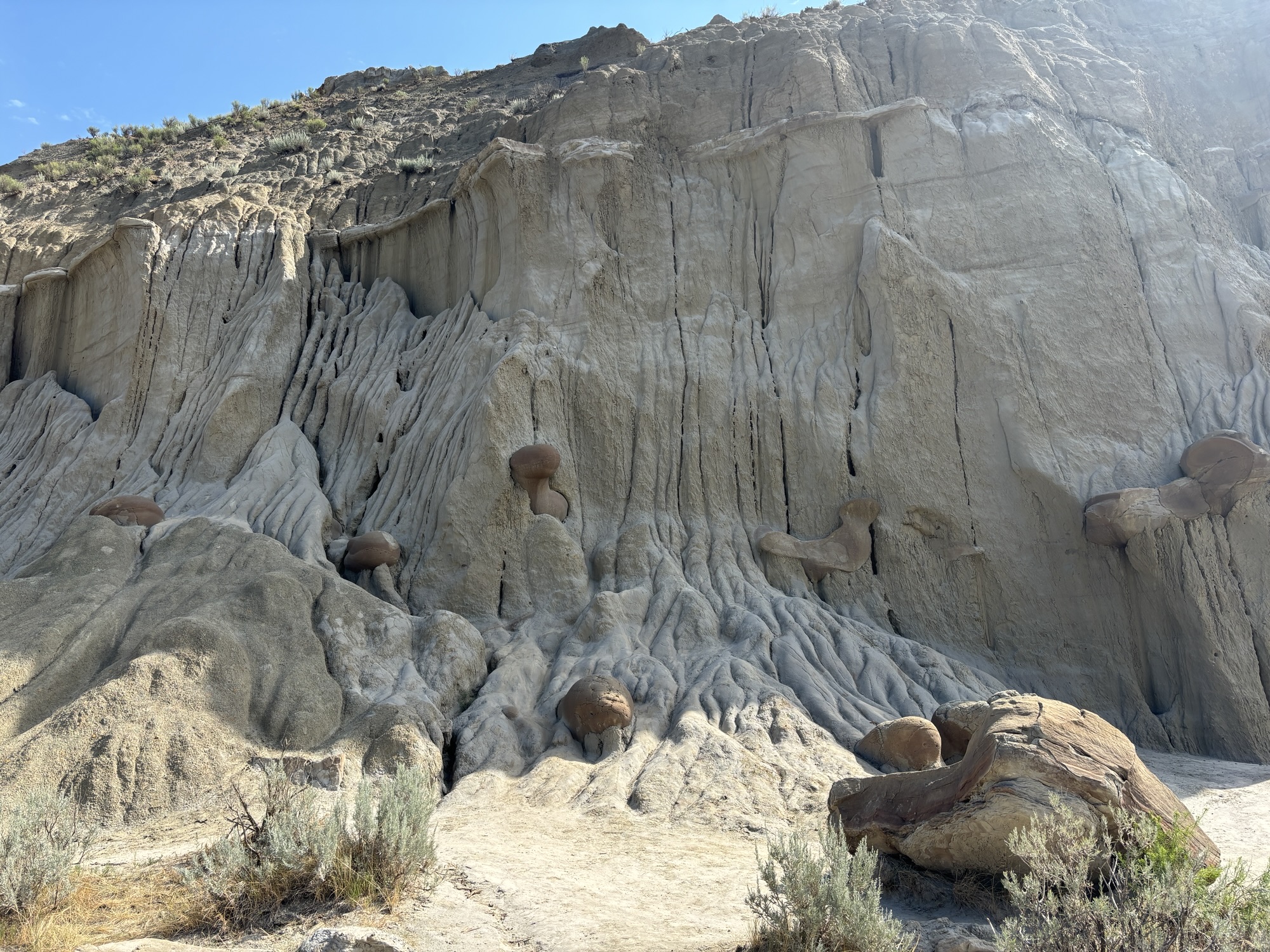
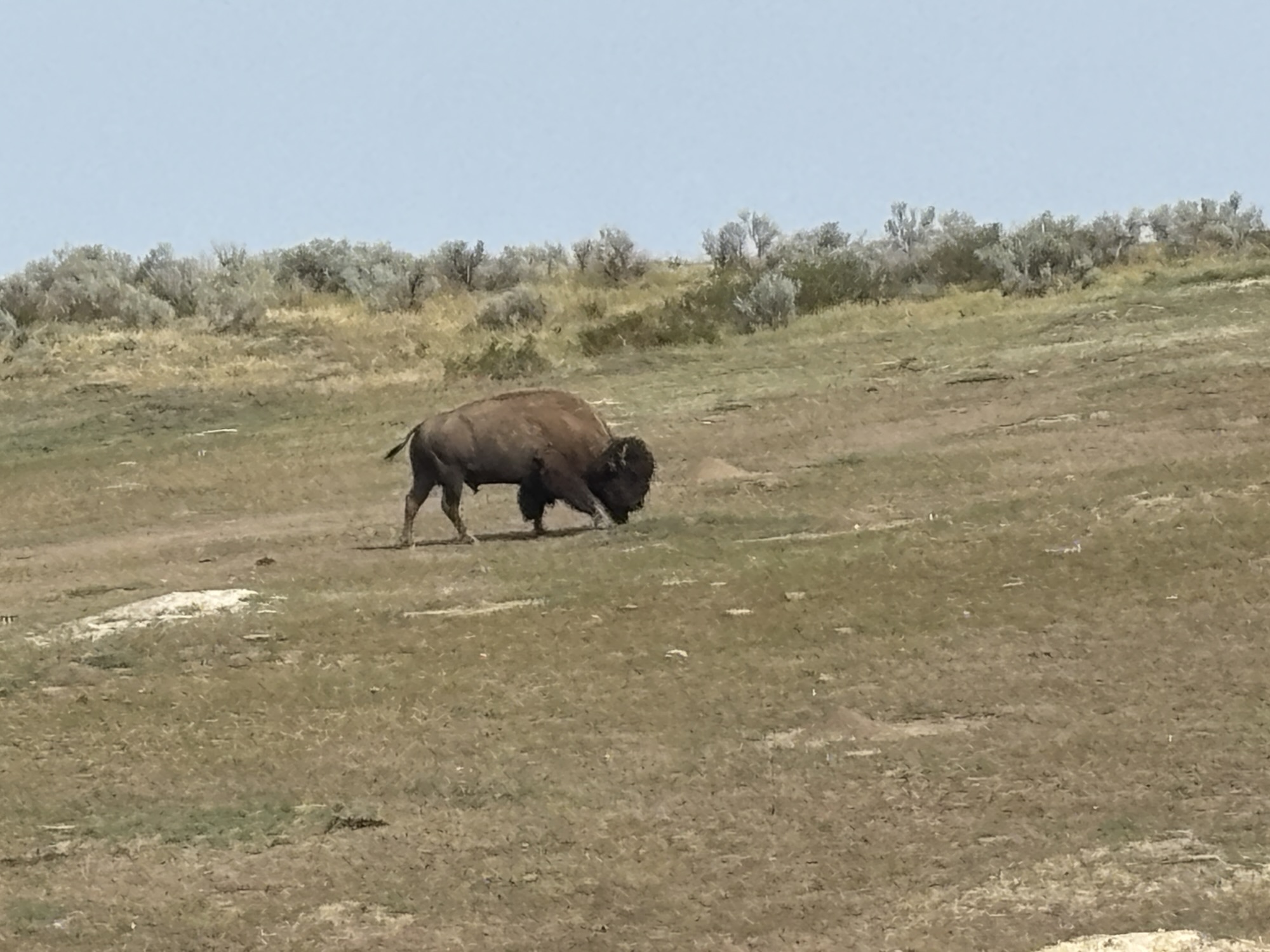
Then the fun began. We had another encounter of a single buffalo walking down the road like at Elk Island. With the tops off the jeep, Gail was able to get another close-up video!
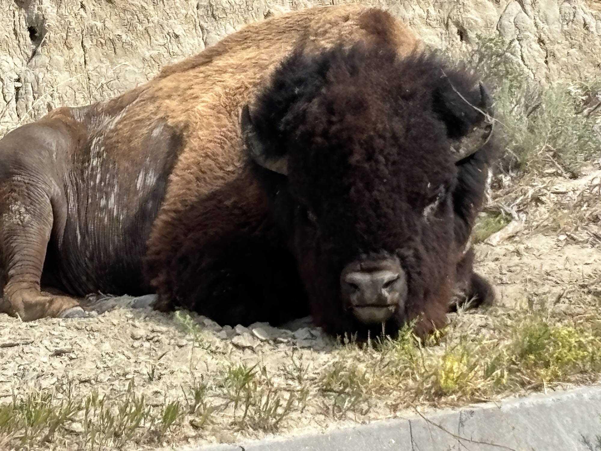
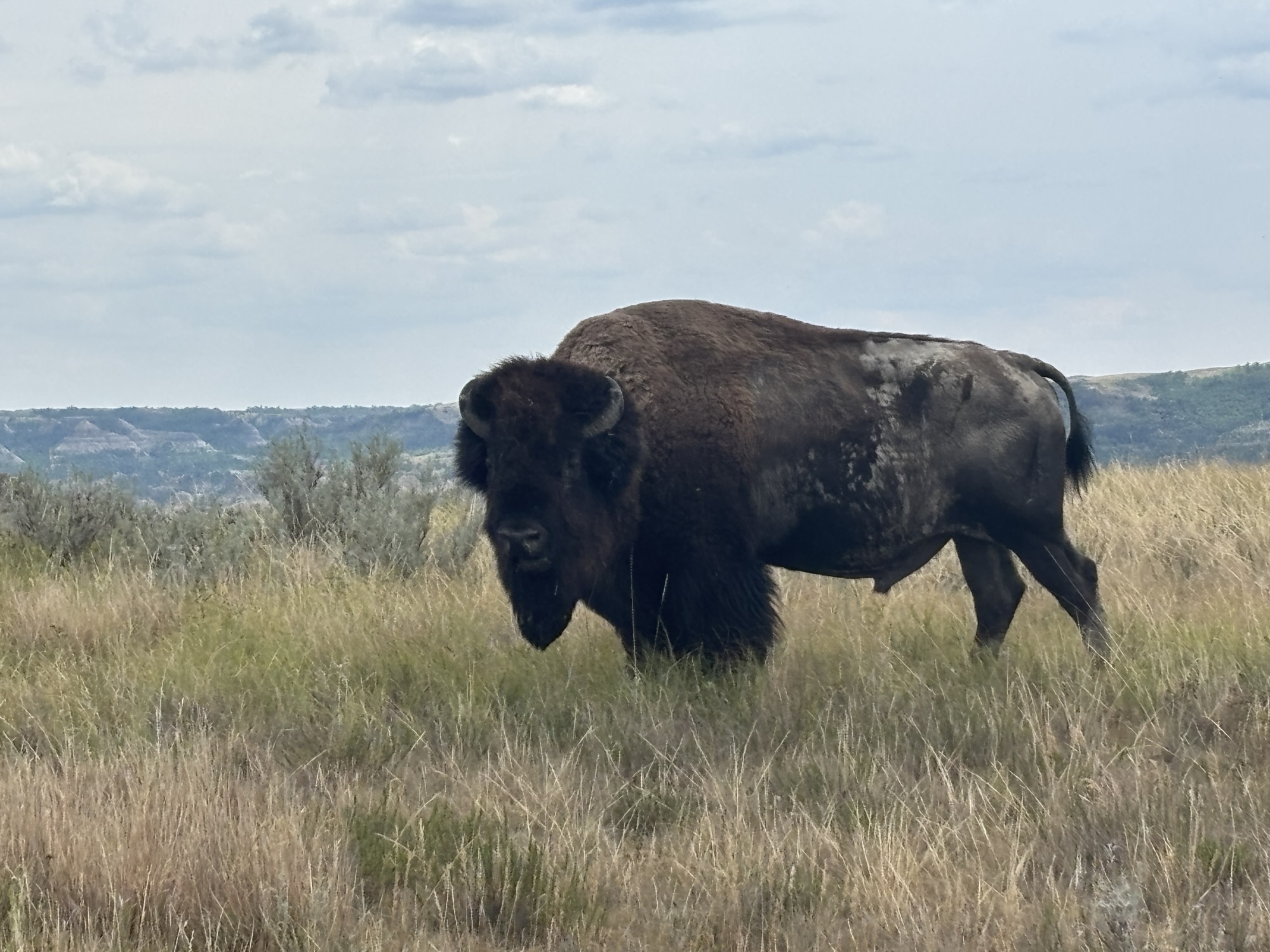
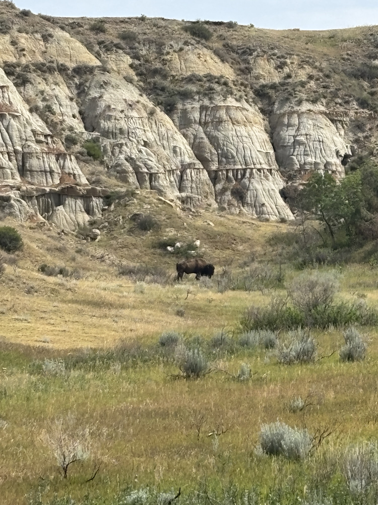
A little further on, Gail spotted a group of buffalo coming up a hill next to the road. We stopped to watch and took some photos. About 25 head came up and then onto the road directly in front of us as we were the first in line. We watched as they all walked slowly(!) up the road. After a few 100 yards, they headed back off the road and up a longer hill where two other groups of buffalo were already grazing. As the last ones were clearing the road, a large bull turned, glared(?) at us, and started walking back toward us. I guess he was just checking that there was no one left behind and he turned back to join the group.
By this time, we had about a dozen cars behind us. So, we slowly headed up to the overlook and the large parking lot. This was the turnaround point for the drive. Everyone was getting out now to see the herd and the views (now maybe 50-60 as they all joined up).
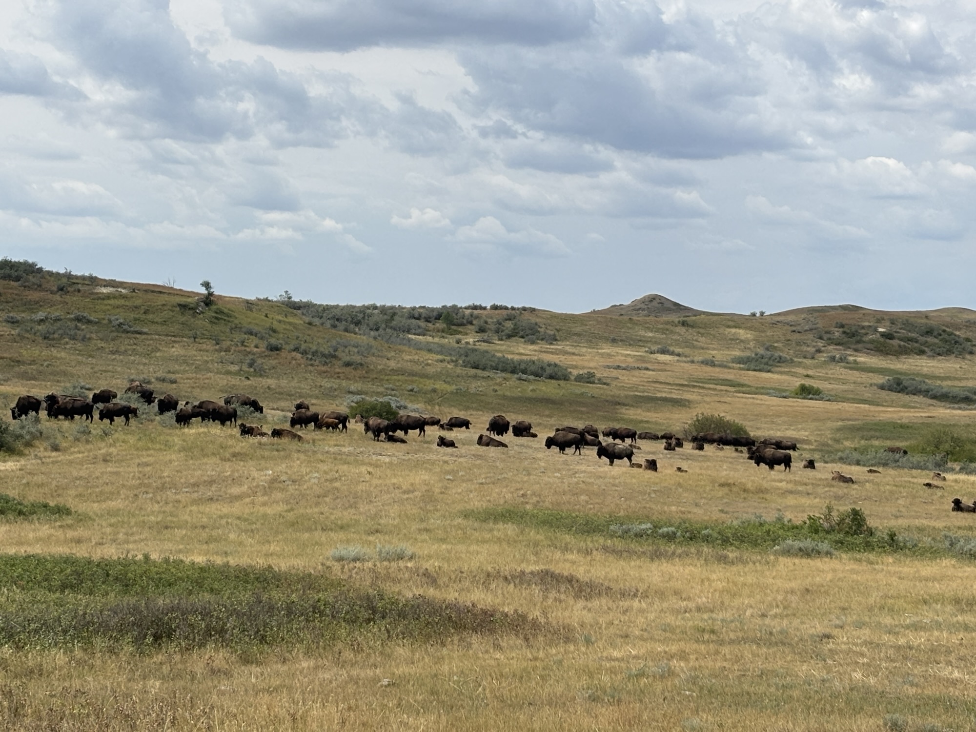
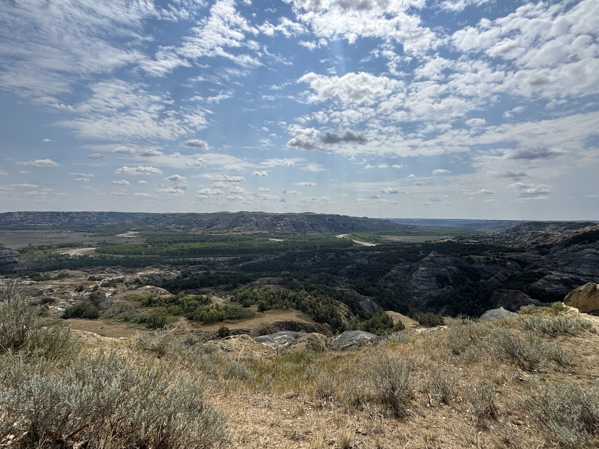
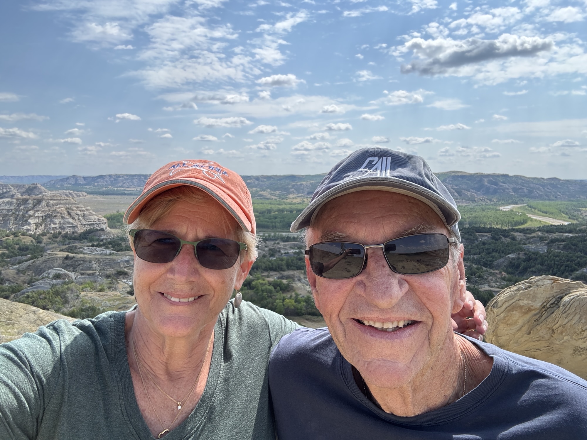
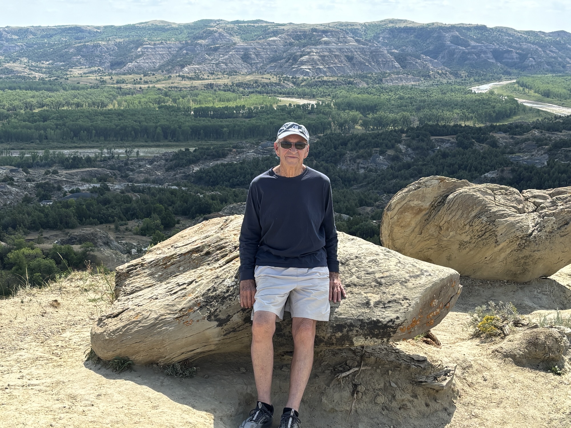
Then we headed back to the entrance. We stopped at several more turnouts looking for other wildlife. We did spot the 3 big longhorn bulls lounging back in the trees away from the road. It’s another story about why they are here. But Hook Em’ anyway! It was an exciting drive, and we headed back the same way to Medora.
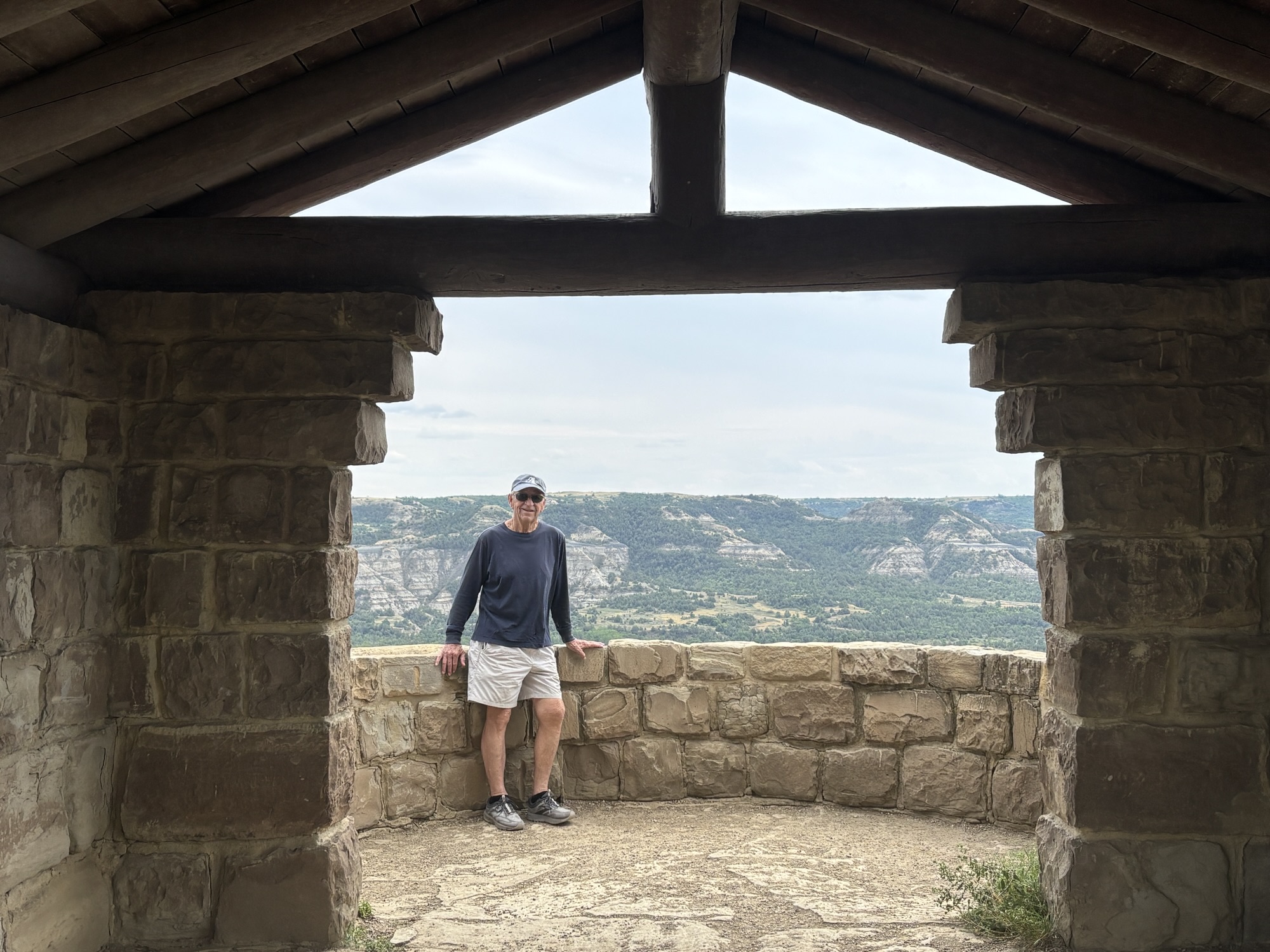
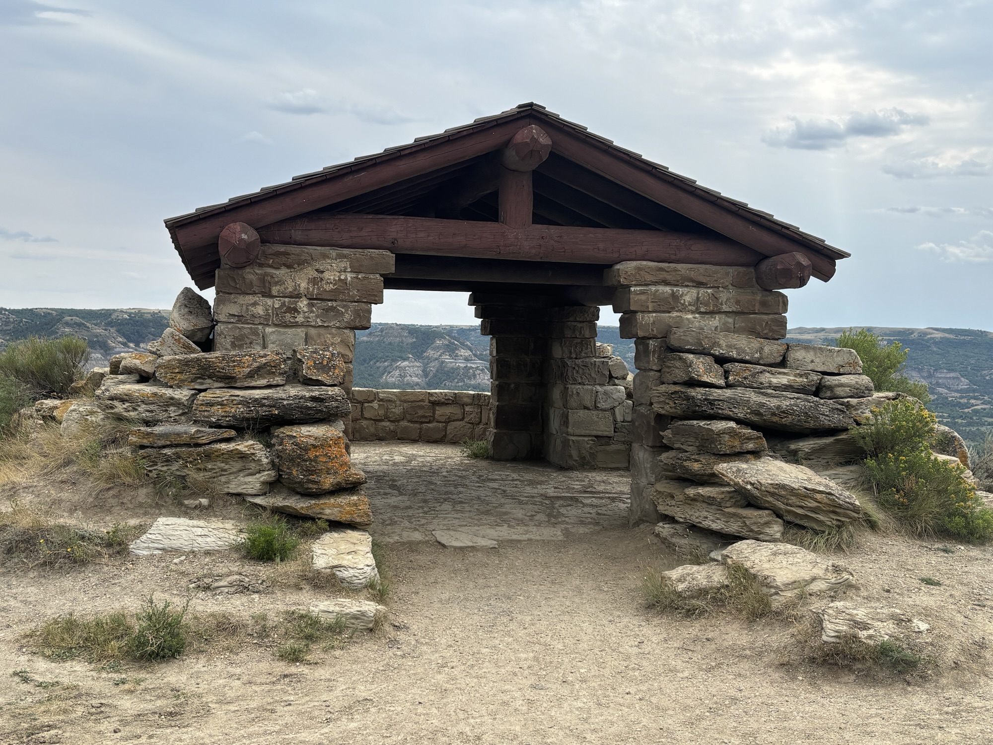
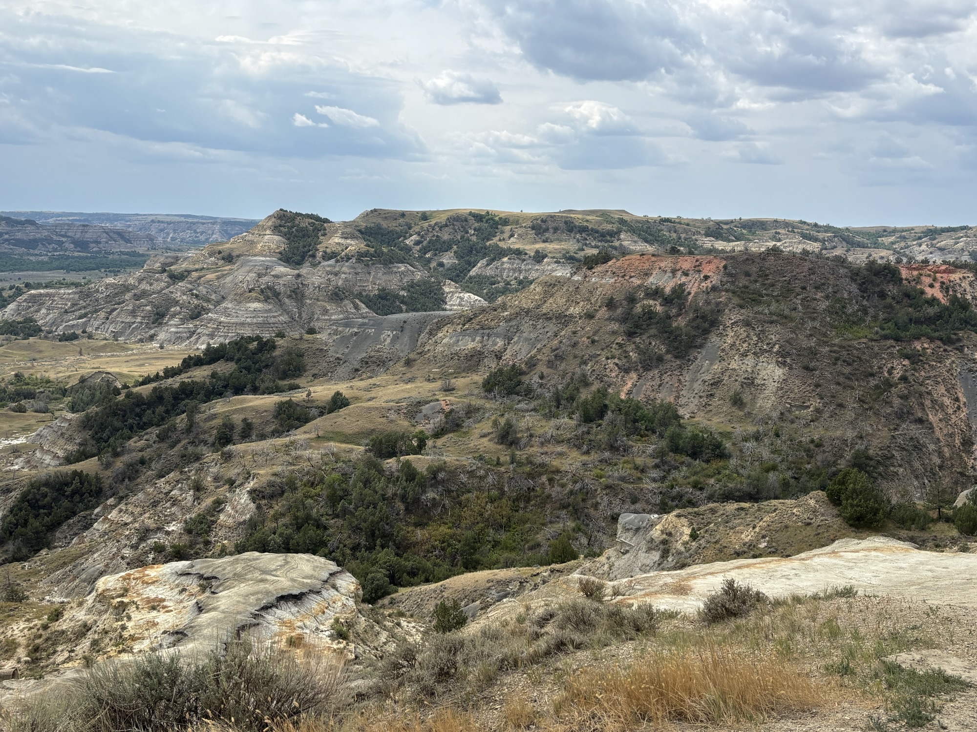
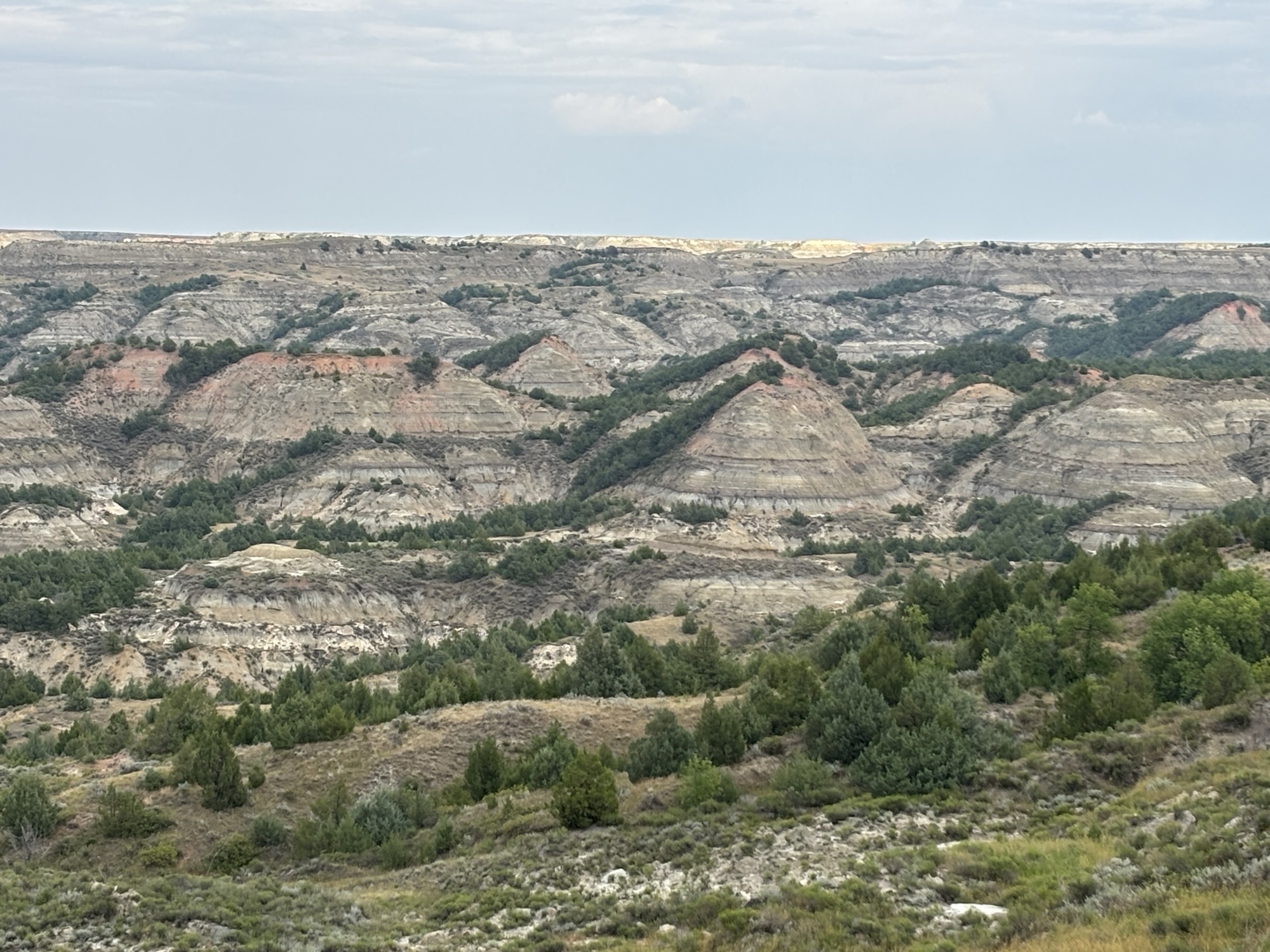
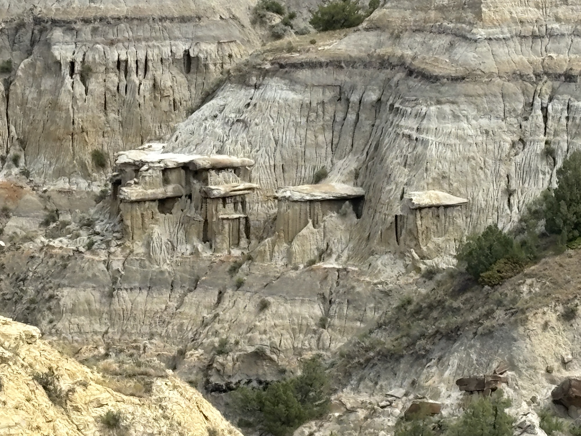
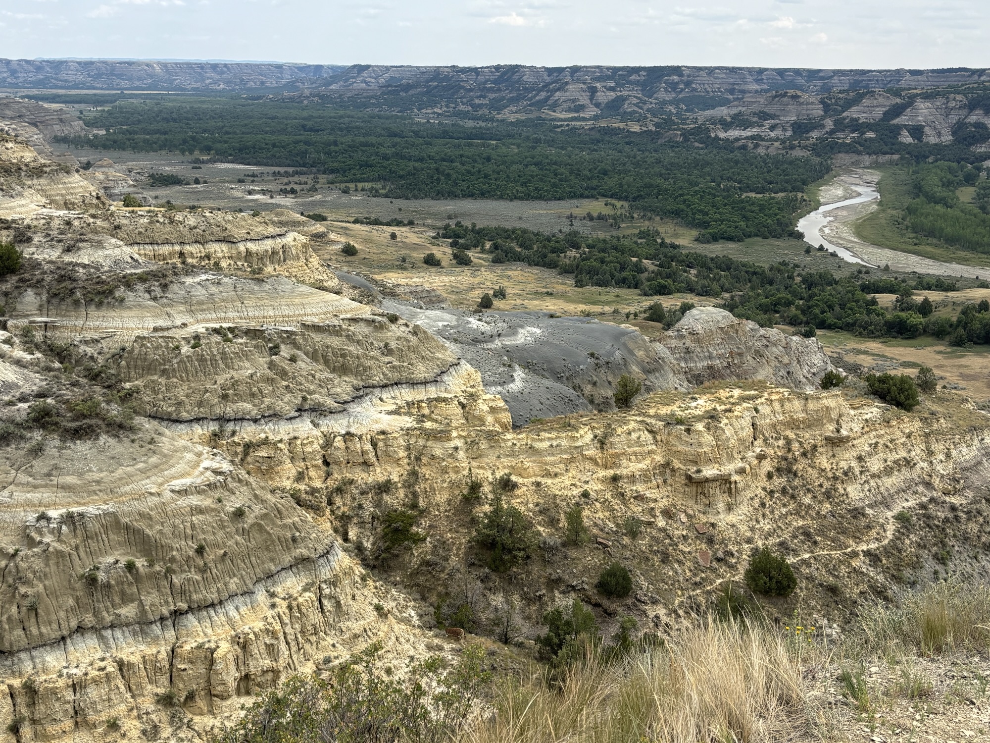
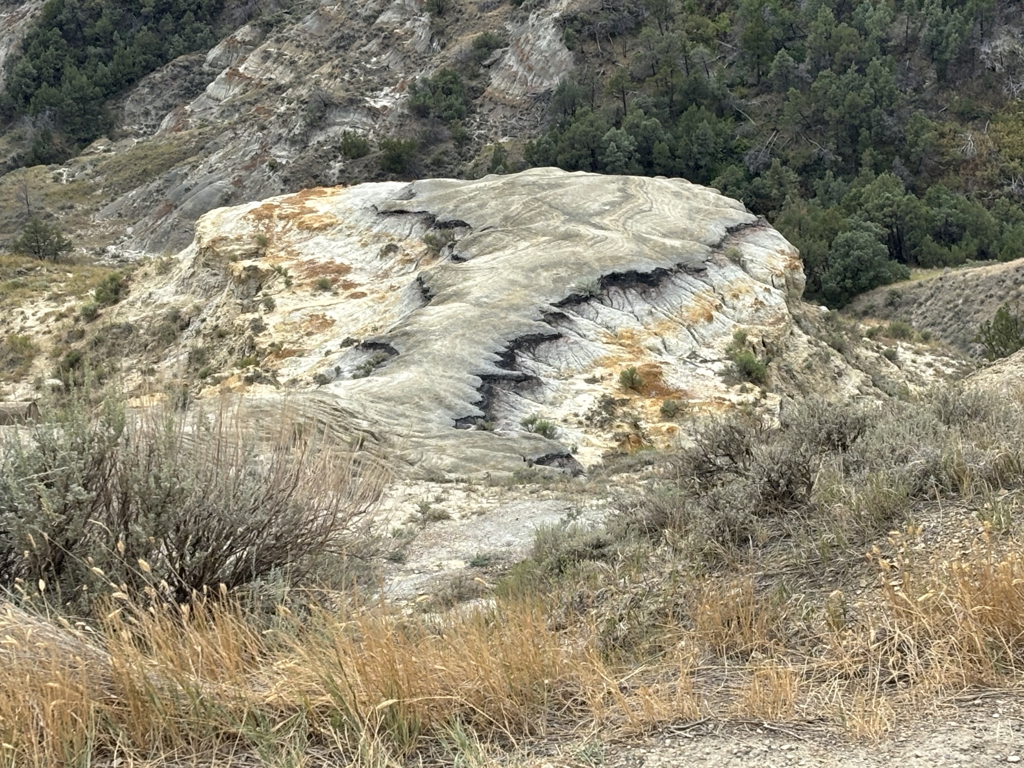
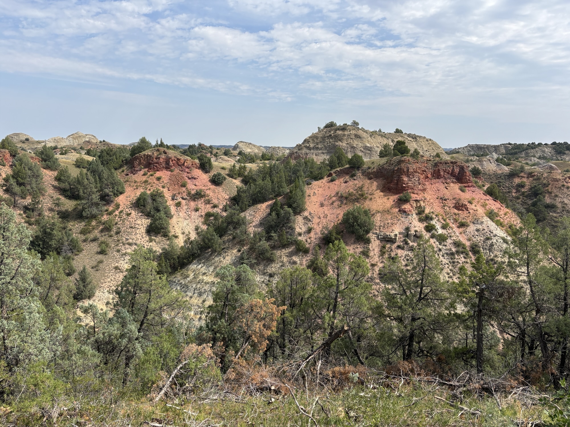
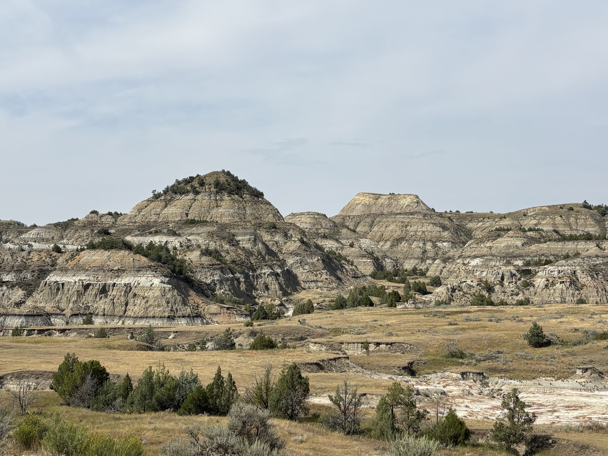
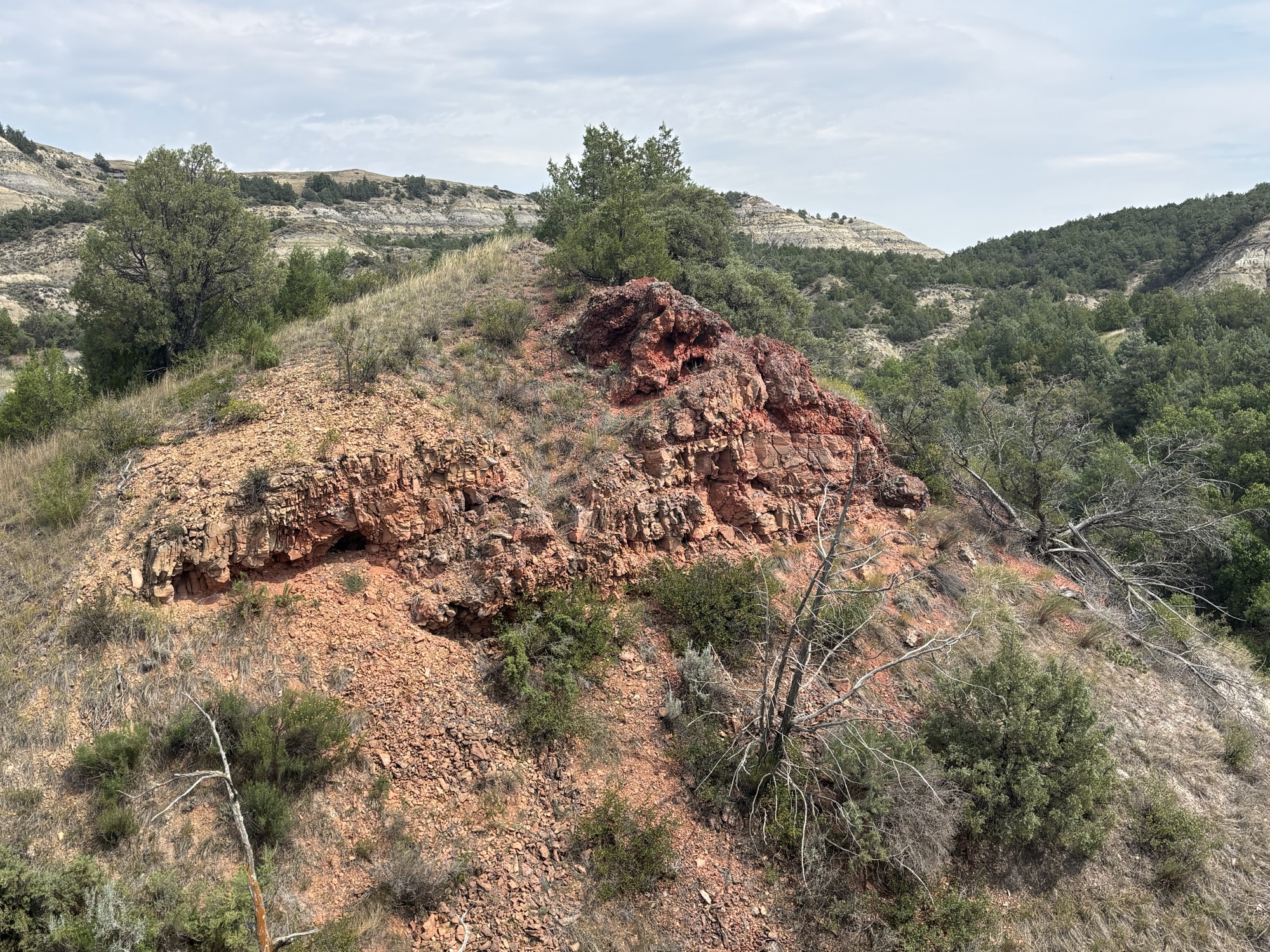
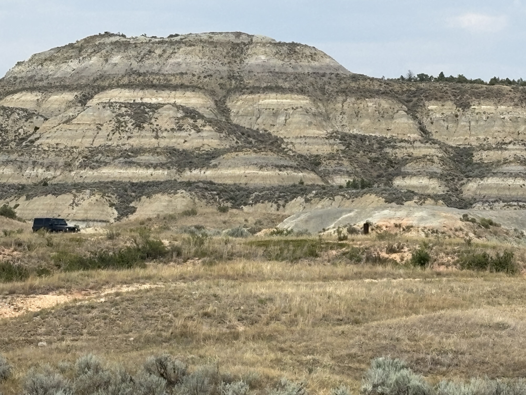
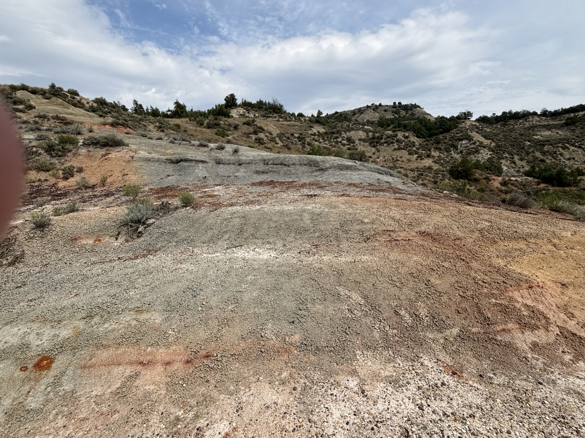
The next day we drove the 36-mile southern unit loop. This road goes along the edge of the valley and has several overlooks. We also added some of the hikes. One was where there had been a coal fire area that burned underground for about 25 years from 1951 -1977. In the strata you easily notice a distinctive black line that is the coal layer formed about 65 million years ago when the land was a virtual garden and very marshy! The decay and pressure of other layers formed the coal.
There are two other active coal vein fires in the park now. We didn’t see any evidence but were informed with signs that the park knew they were active and we didn’t need to report them if we did see anything.
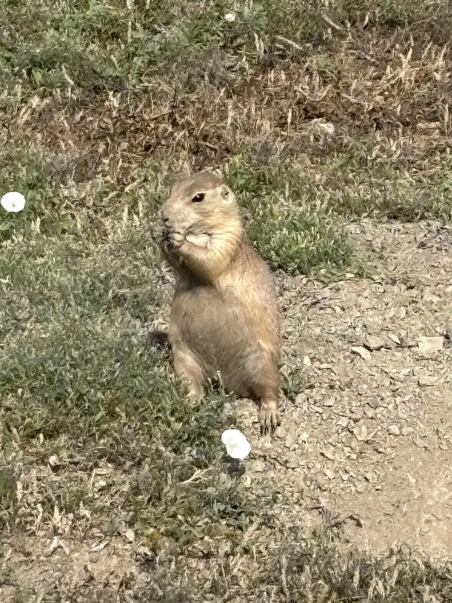
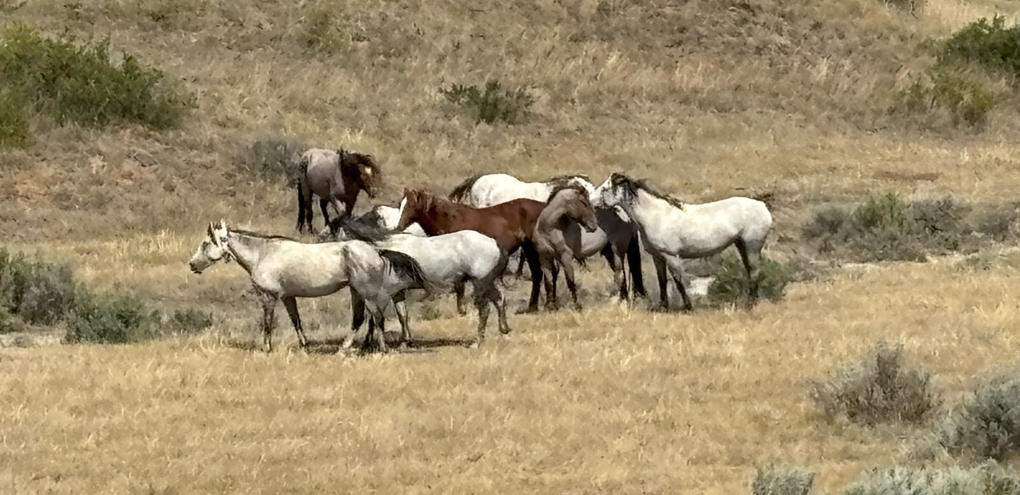
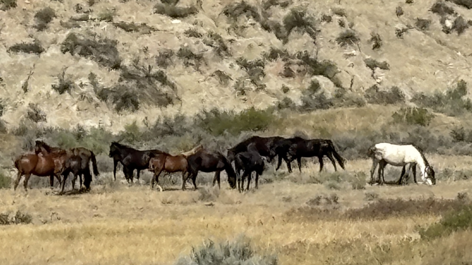
The other cool stop was to see wild horses! On the road into the Coal Vein trail, we spotted one or two of the wild horses. So, we were watching on the way out to see them again. To our surprise there were 2 groups of horses grazing. Maybe 10 in each. And while we watched, the 2 dominant stallions began having a heated and physical discussion about something. I think it might have been over one of the mares! But they must have come to an understanding, and the aggressor turned tail and went back to his own herd!
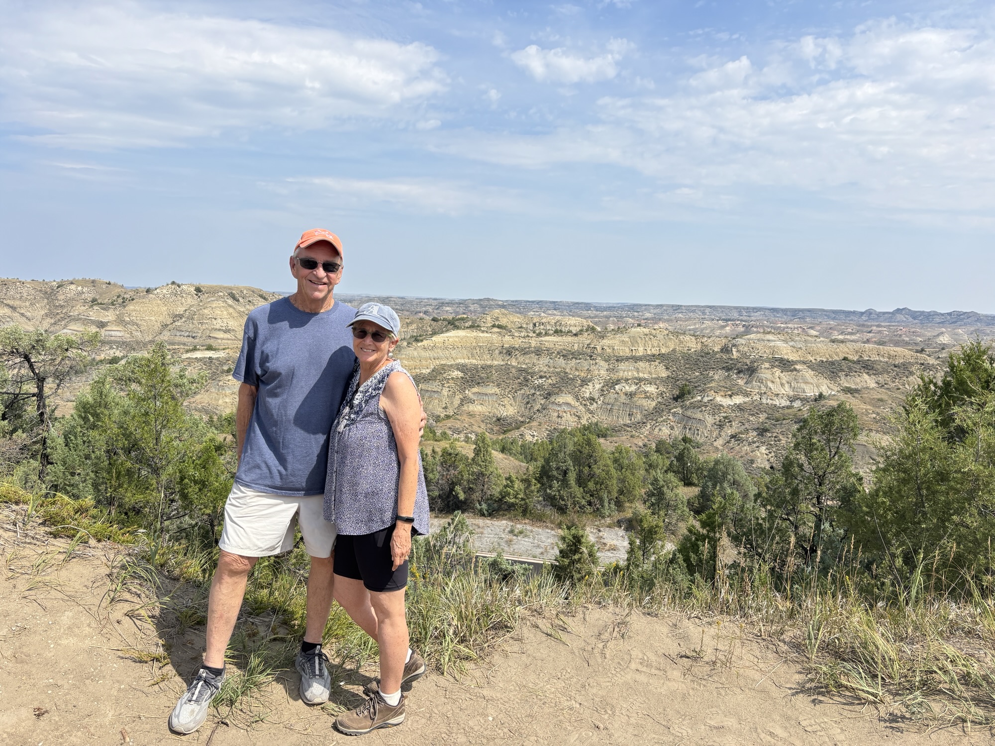
Another good but strenuous stop was the Buck Hill Overlook. This is the highest point in the park, and the hike up was probably the steepest walk we have done in our years of traveling. (Except for the hike up St. Marteen in 2012 and in Cascade, ID last year) At least it was fairly short! And the view at the top was excellent.
Finally on our last day before we headed out, we had a reservation to see the new Roosevelt Presidential Library. When we checked into going, we found out that you needed a reservation and it was booked up until then. But the timing fit our schedule.
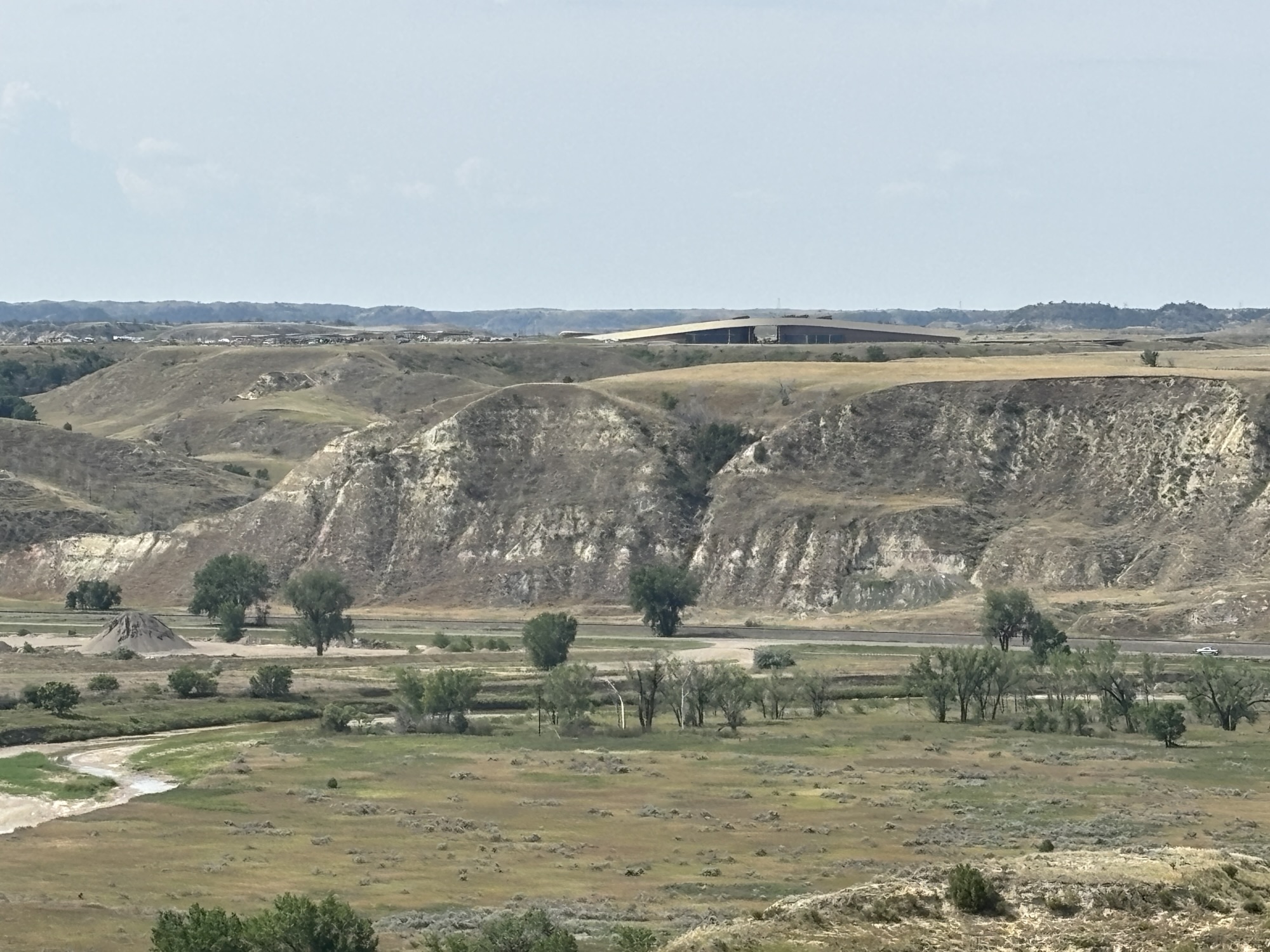
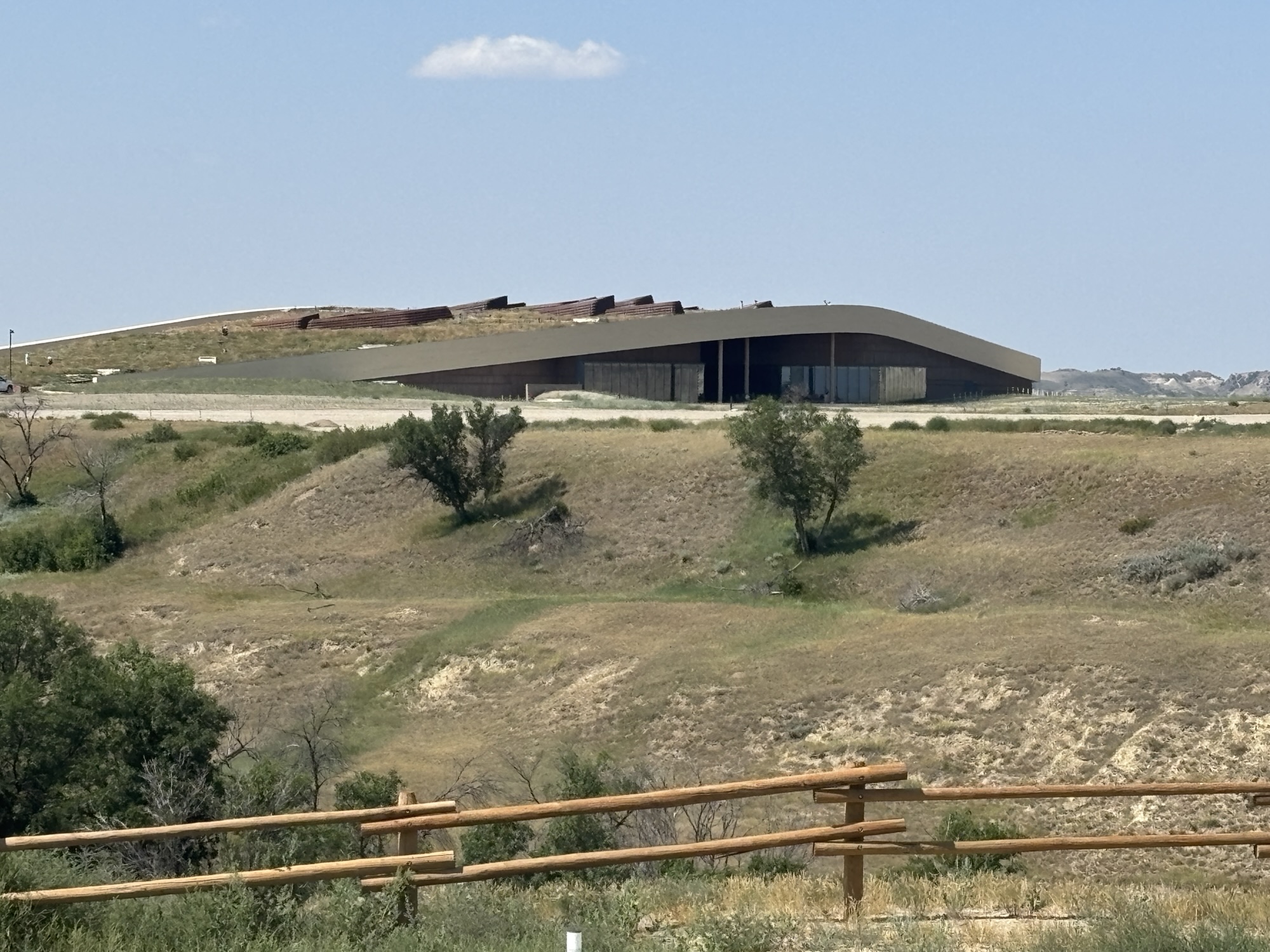
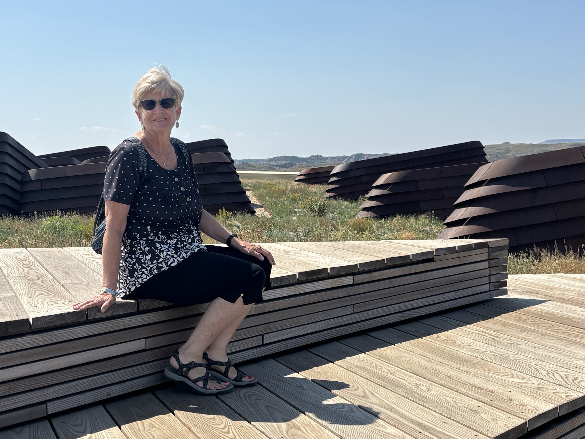
He had never had an official library until now and it was just opened on July 4th this year. The architecture is unique but designed to fit the region. The sloping roof features a grassland of its own with flowers and grasses and a walking trail. We had seen the library from one of the overlooks across the valley the day before.
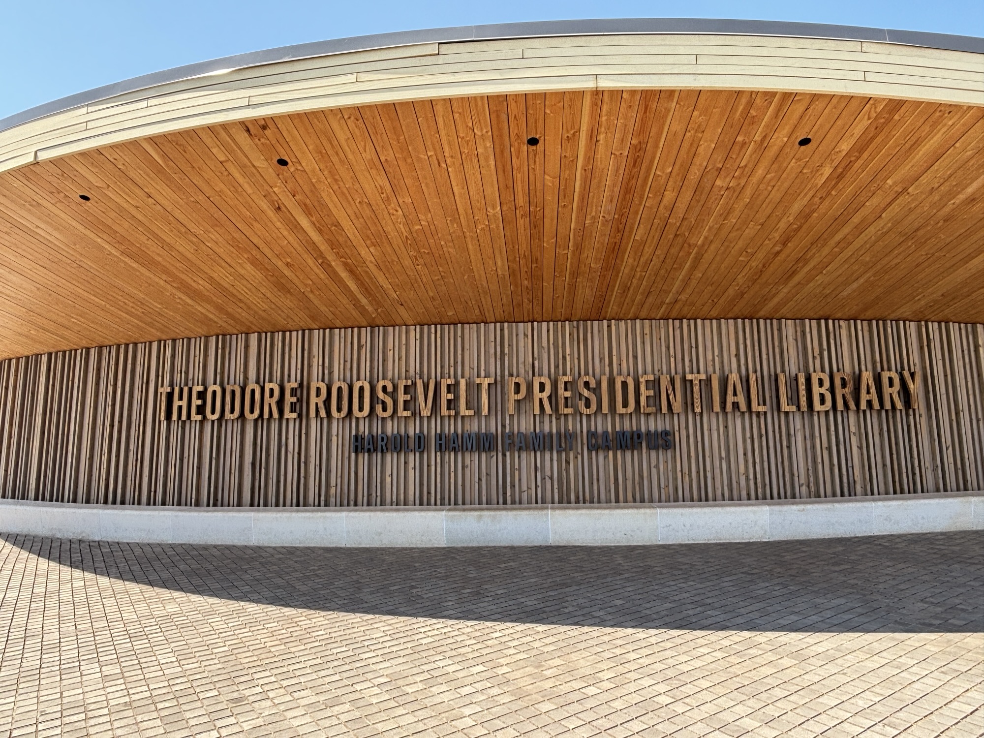
Not to go into a lot of detail, but the library uses new computer graphics and AI technology to enhance your visit. This includes a personal digital photo stop at the entrance where they record your appearance. Then, as you wander through the library, there are photo kiosks where you can have your “photo” taken and overlaid into a photo of that particular period of his life using the proper dress for the time and specific activity. At the end, they send the photos to you as a reminder of the visit. I particularly liked the one when I was president (at the desk!) And here are Gail’s favorites too.
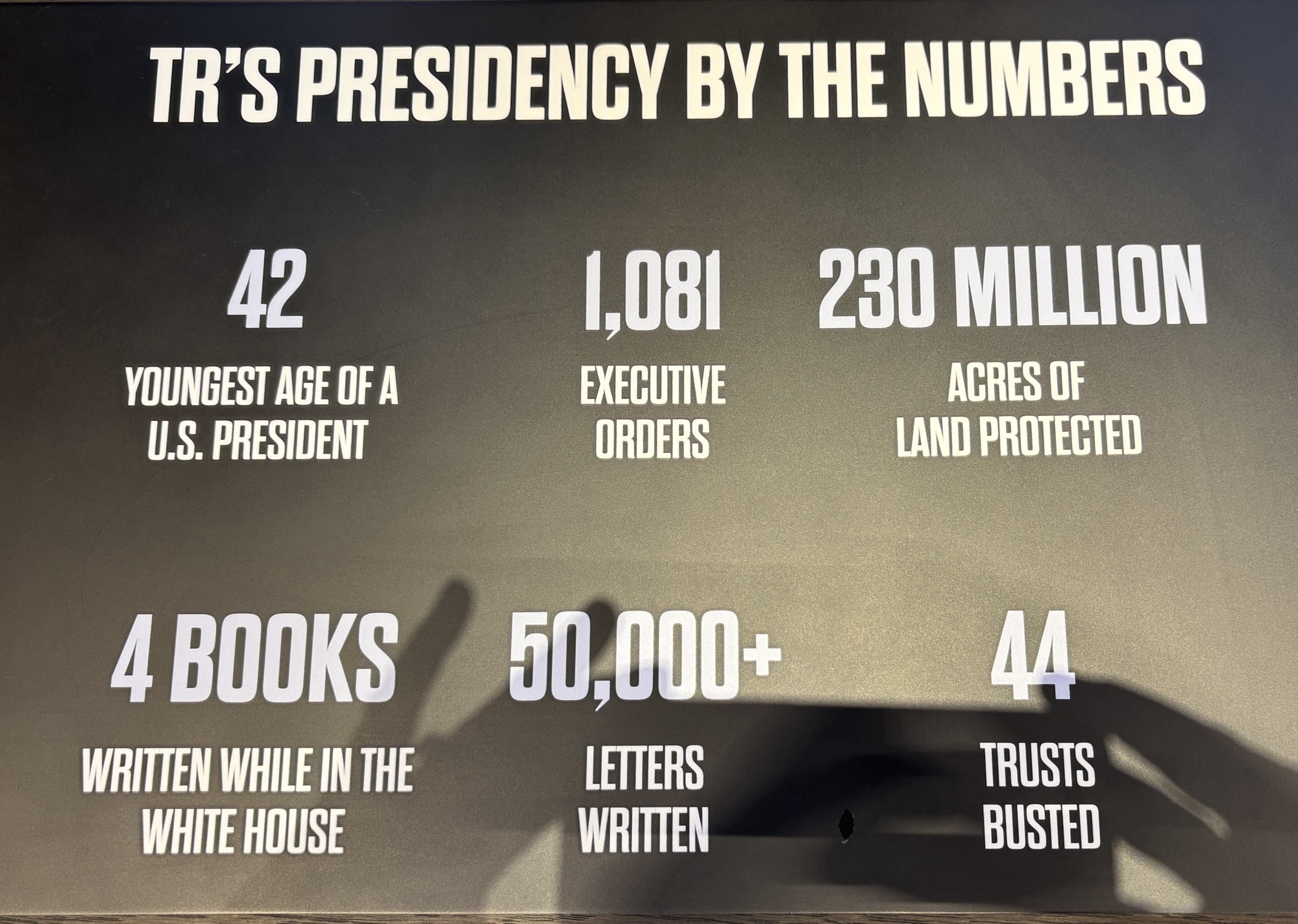
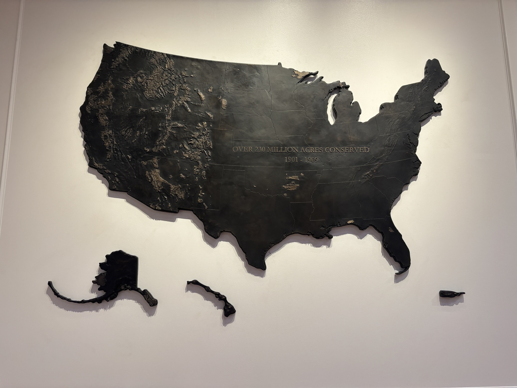
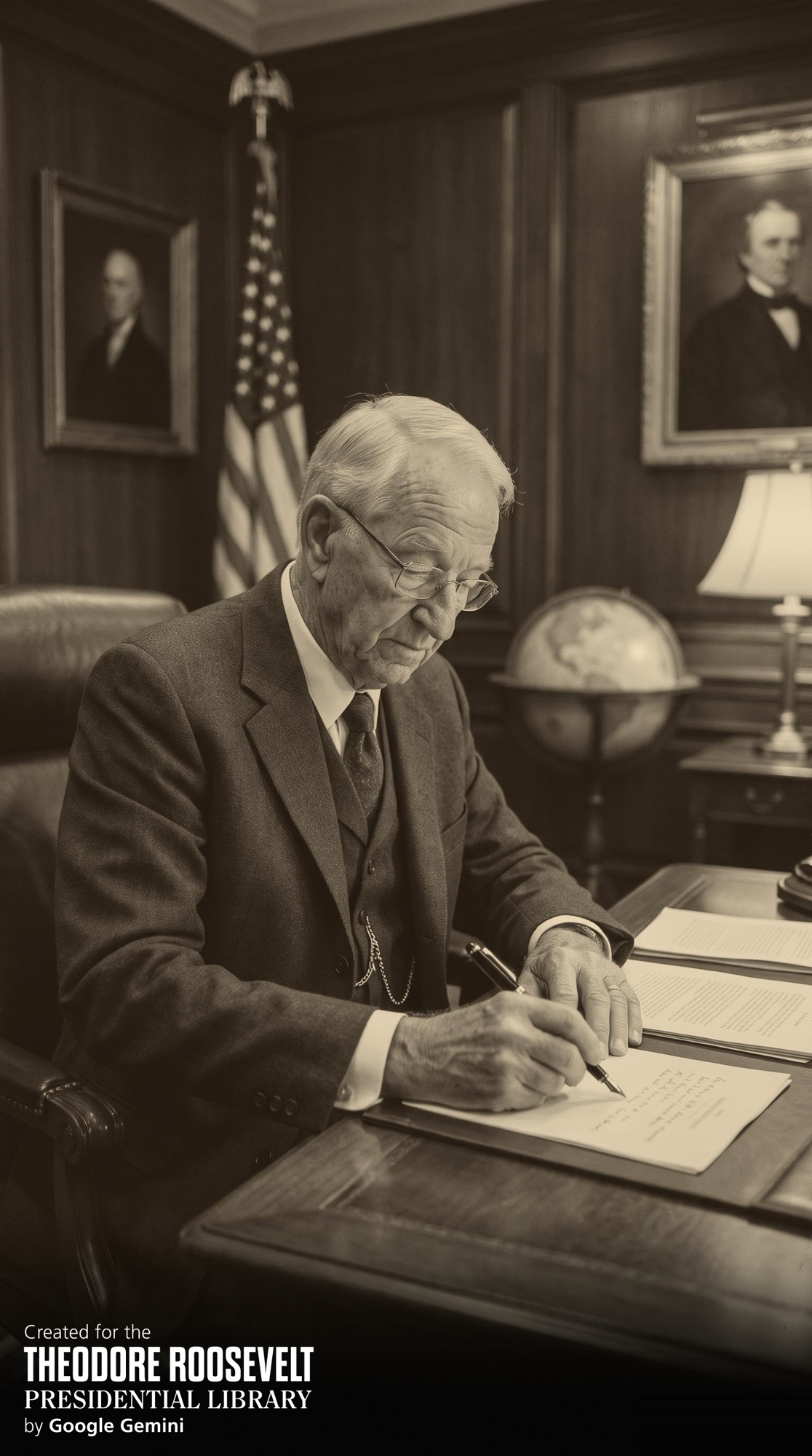
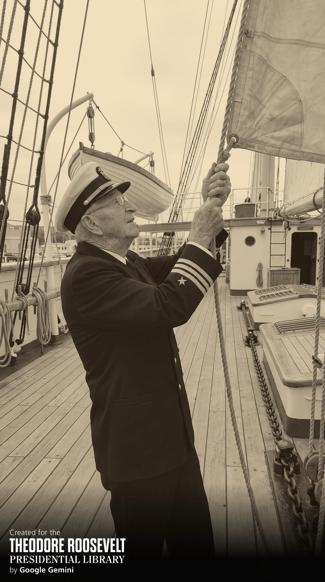
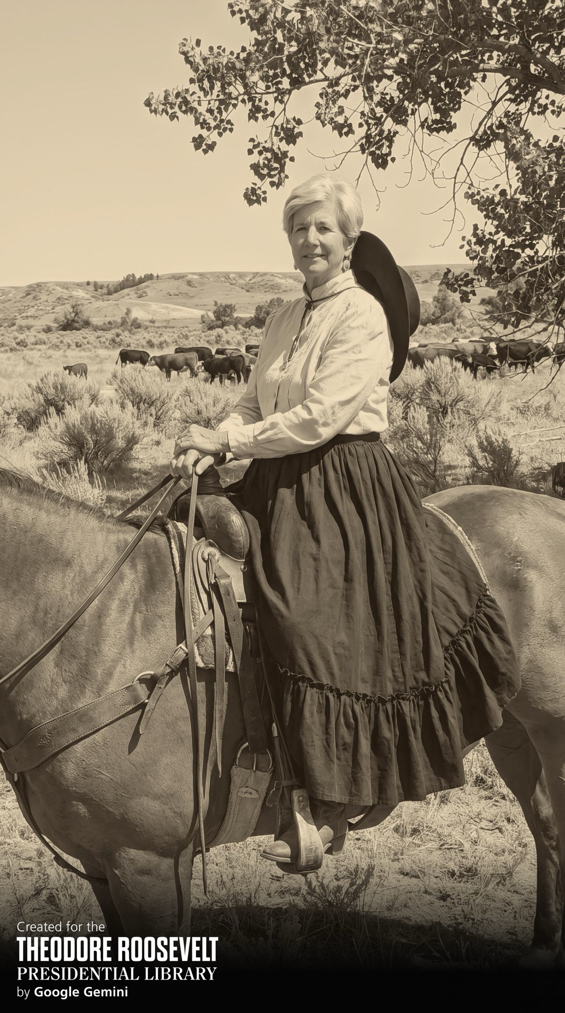
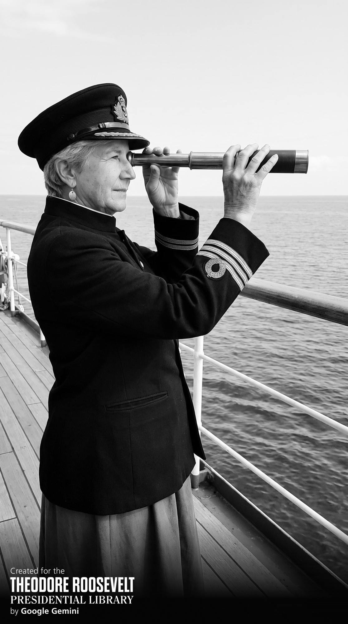
Basically, he was an amazing figure (remember “speak softly and carry a big stick!”), a good family man who lived through two early tragedies, a leading conservationist, a leader in the military, and a good president. And the library reflects all of the traits. We recommend a visit if you are in western North Dakota!
Now on to Bismark and more of the state. But that is saved for the next chapter!

