The Blue Ridge Parkway is a National Park Service roadway started in the 1930’s with the intent to connect the Shenandoah Skyline Drive in Virginia to the new Great Smoky Mountains Park in North Carolina and Tennessee. Ashville, NC won a contest to get the Parkway routed thru that city and the construction was on. It was a time of the depression, so they required that the workers had to be hired locally to build the road and the depression public works organizations like WPA, CCC, and ERA were used to landscape and other do work. Due to many factors, the whole 469 miles were not completed until 1987!
But I digress. We have friends that live near the entrance (actually the southern end is the “end” of the parkway at MM 469) and others that live near Banner Elk at MM 306. So, the plan was to go from Georgia to Bryson City, camp for a couple of days, meet up with our friend there, then enter the parkway at the “terminus” and drive to Banner Elk, stay there, and drive the rest of the way with 2 stops along the way and another at the “beginning”, our end.
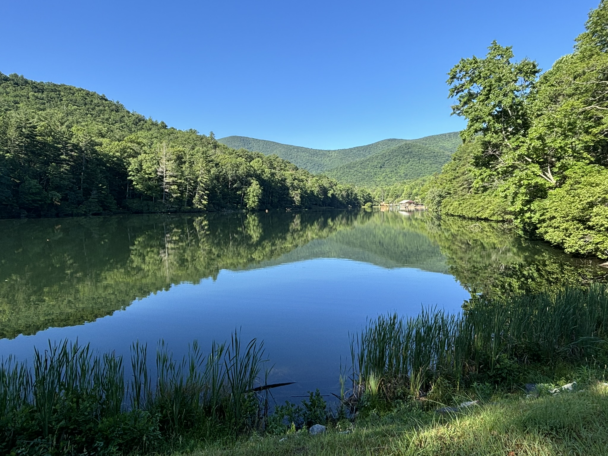
After a quick walk around the lake and finding another water fall close by, we packed up from Vogel State Park in north Georgia and made the quick drive to Bryson City, NC in just a couple of hours.
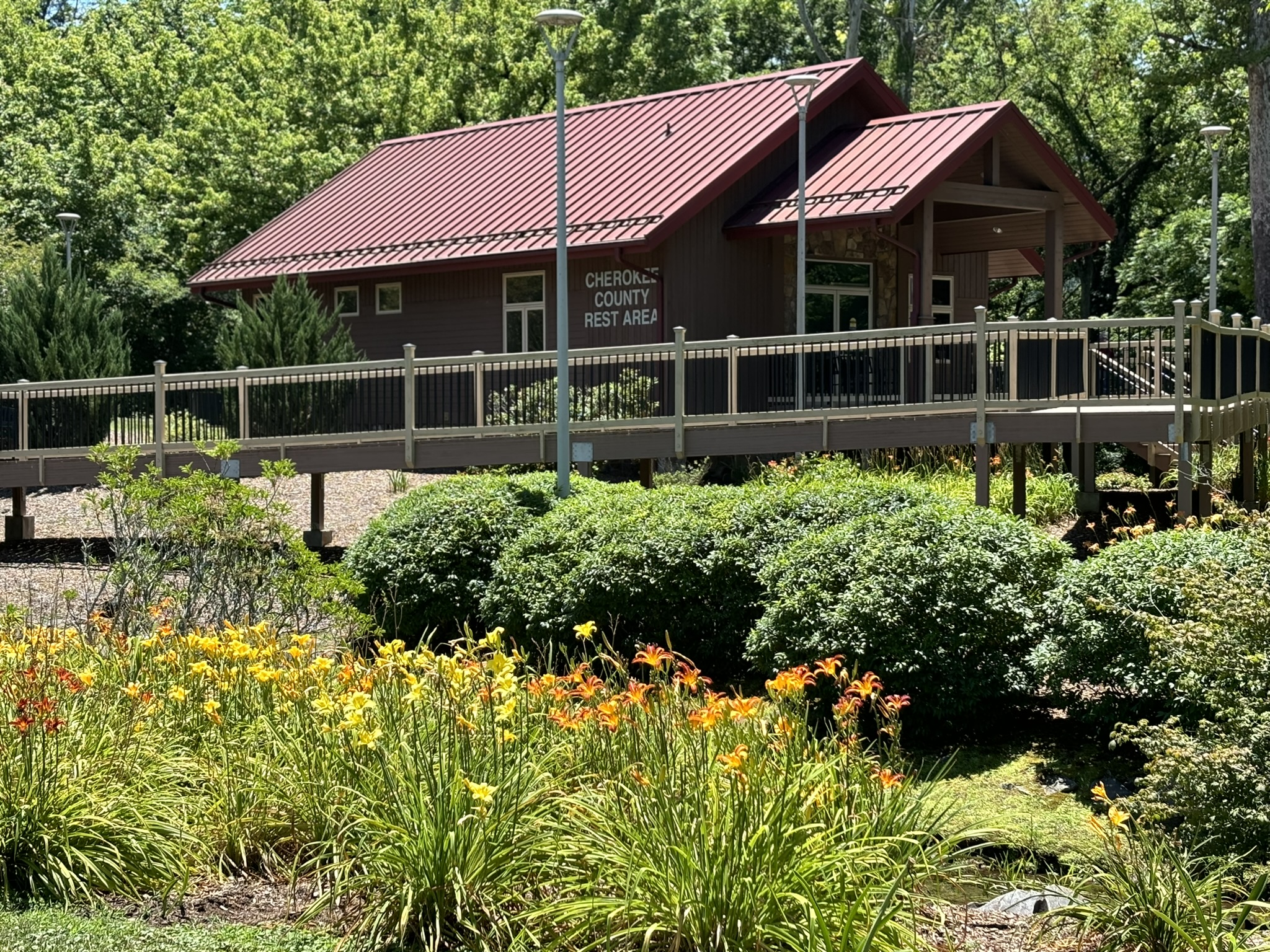
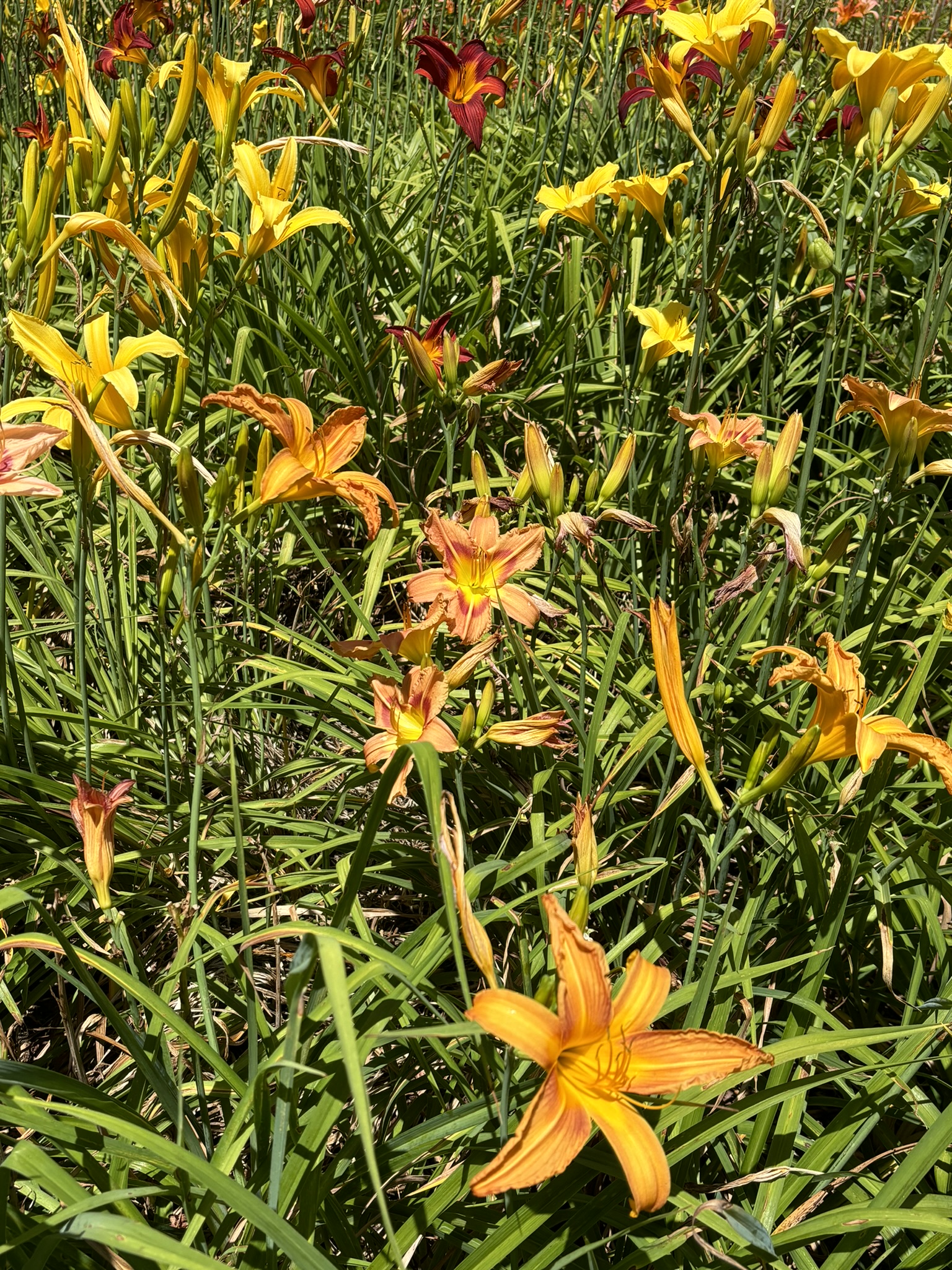
As we entered Cherokee County, NC we stopped at a roadside rest area. You might be wondering – so what? We are mentioning it, because it was the nicest one we have ever seen. We even sent an email to the county clerk’s office to express how much we enjoyed it. (Especially the daylily garden!)
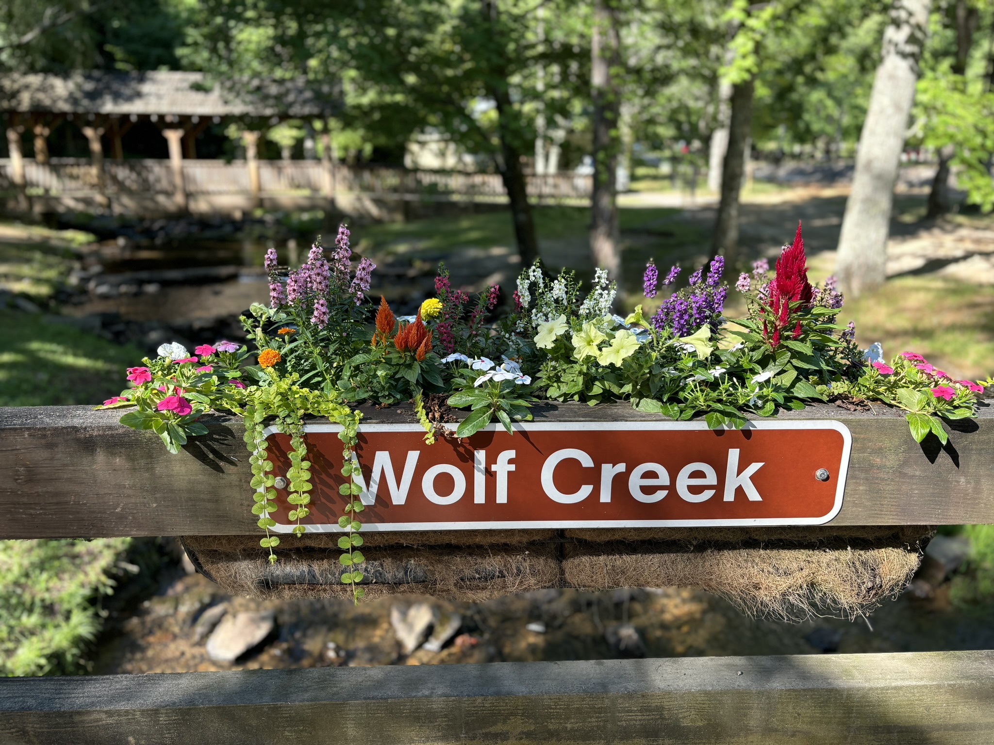
Our RV park was called Grumpy Bear Campground and located along a nice river on the outskirts of Bryson City and on the way to the town of Cherokee and the Great Smoky Mountain visitor center. Never discovered why the bear was grumpy!
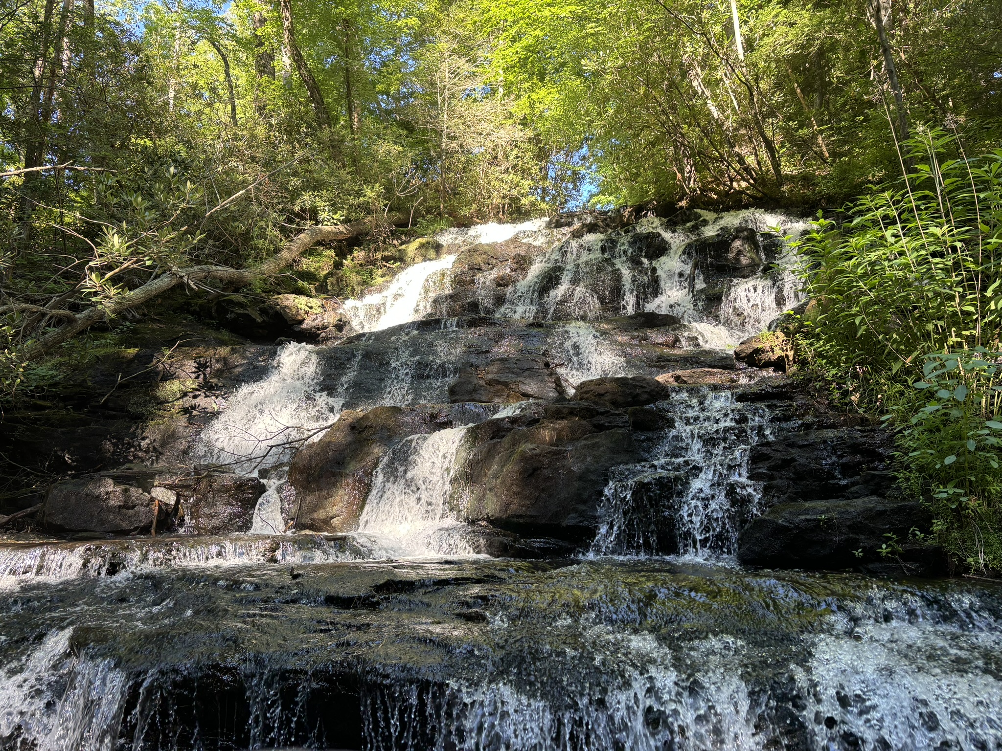
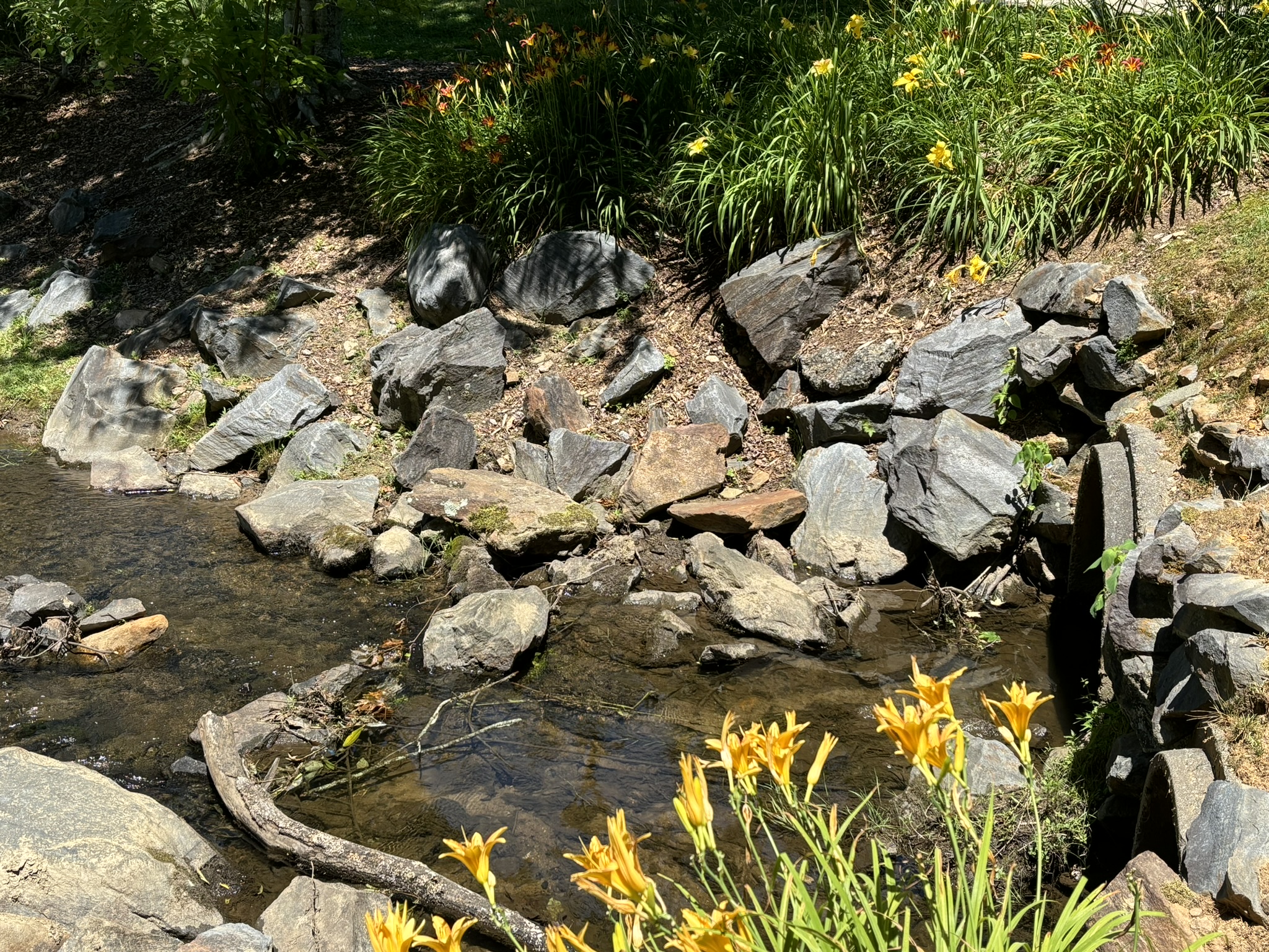
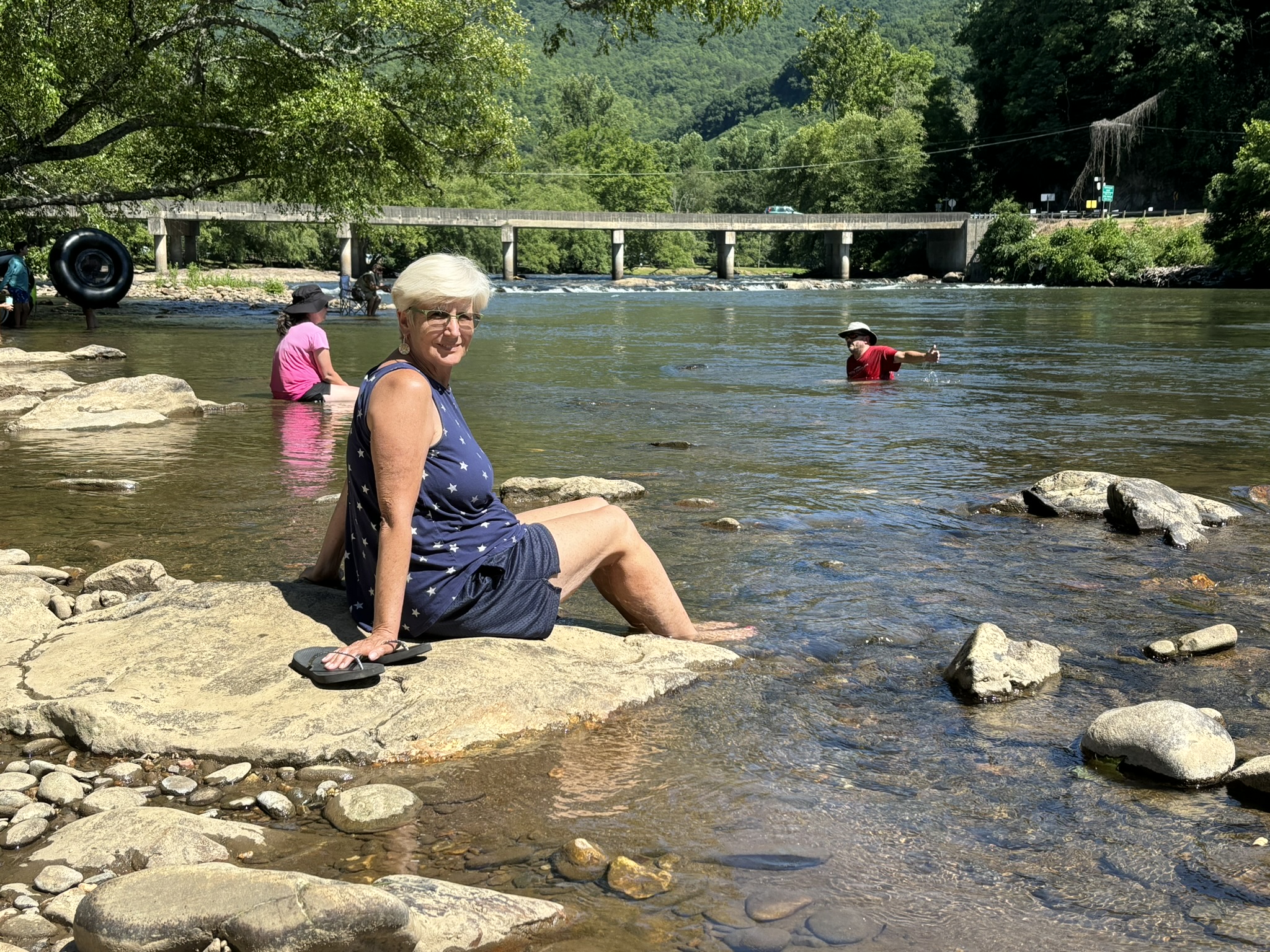
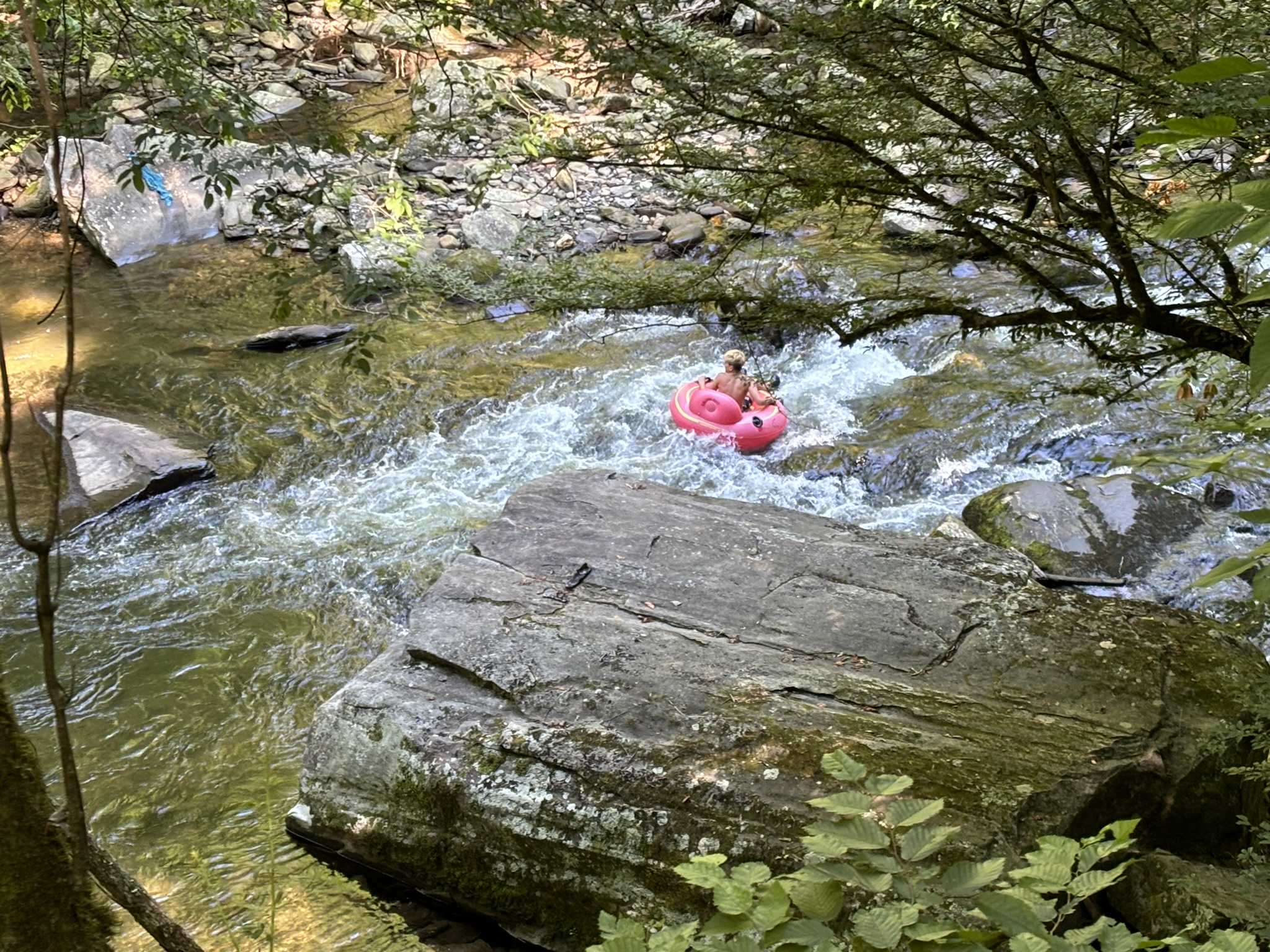
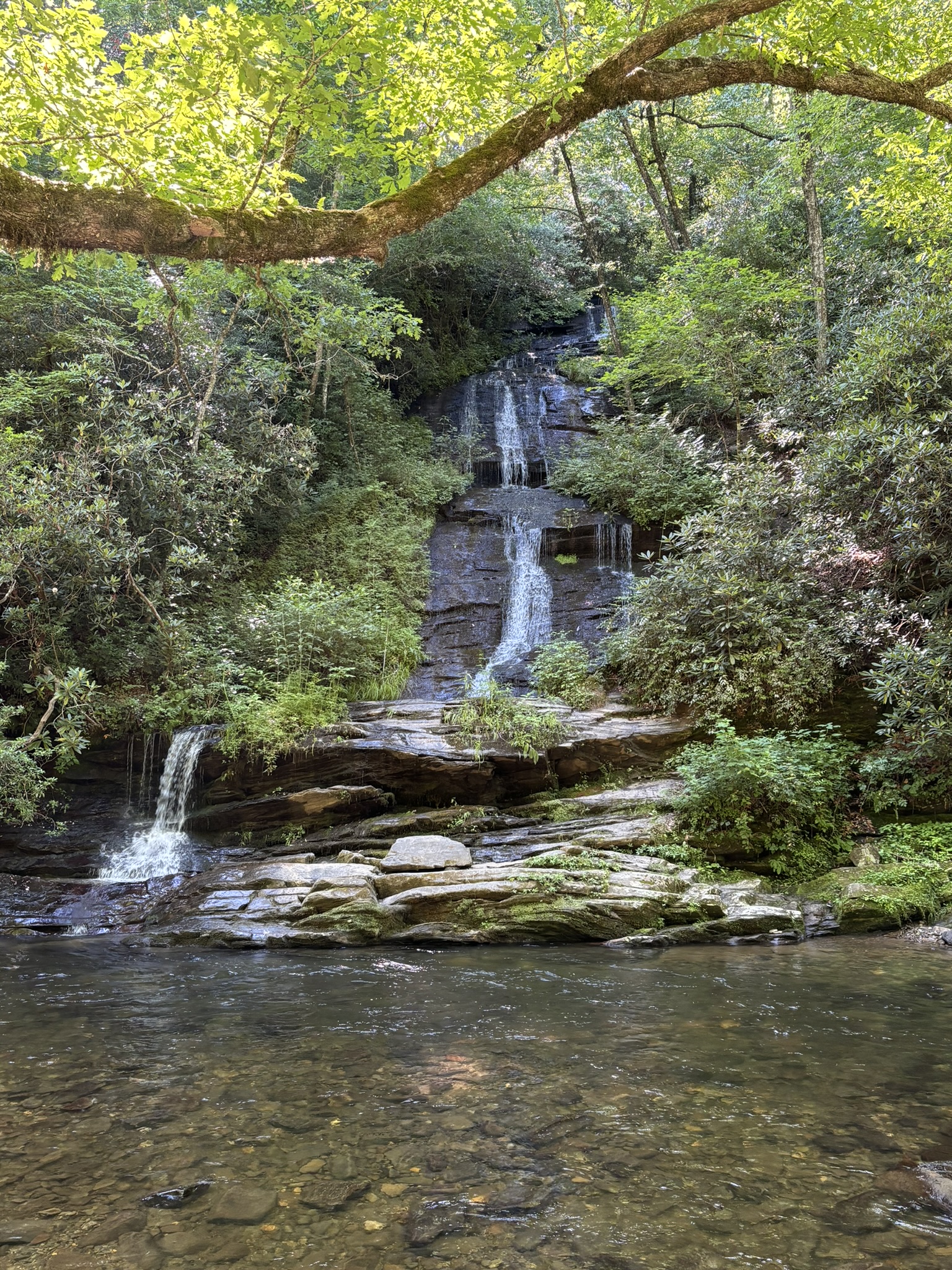
We spent two days checking out this area and finding even more waterfalls. Because of the falls and many rivers around, tubing is a major sport! There are tube rentals everywhere.
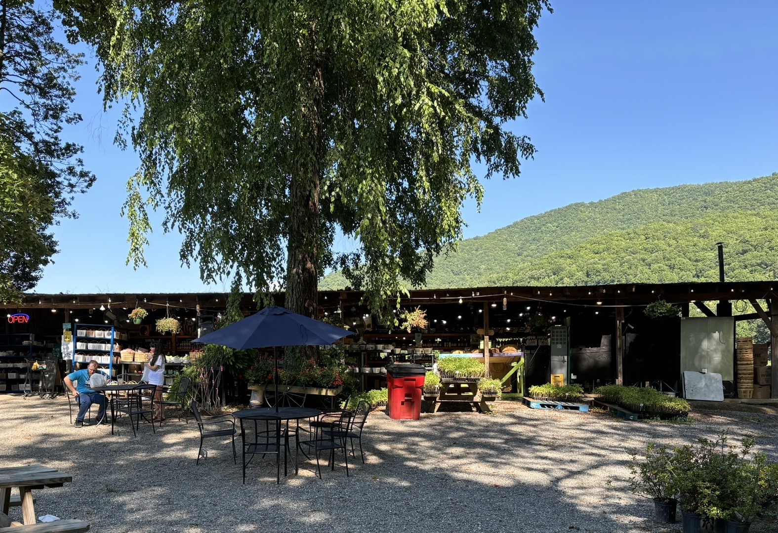
The first day we visited the large produce market called Darnell’s across the road from Grumpy Bear. We bought a few items and had to relax with a sampling of their famous Dreamwhip (like a soft serve ice cream but ice based instead of milk) treat. I had a Cocoa with chocolate, marshmallows and whip cream. What else? Gail’s was a Blackberry with blackberries!

We finished off the day with a walk in old downtown Bryson City and found, among other things, a store with Kudzu Blossom Jelly. This is a major revelation for those of us that know Kudzu. For those who don’t, Kudku is a vine that can grow about a foot/day (yes!) and is covering the whole of the southeast US. The joke is to plant Kudzu you just throw it over your shoulder and run as fast as you can! Anyway, it was explained to us that there is actually a flower under the leaves that can be used to make jelly. We bought a couple of jars but have not tried it yet.
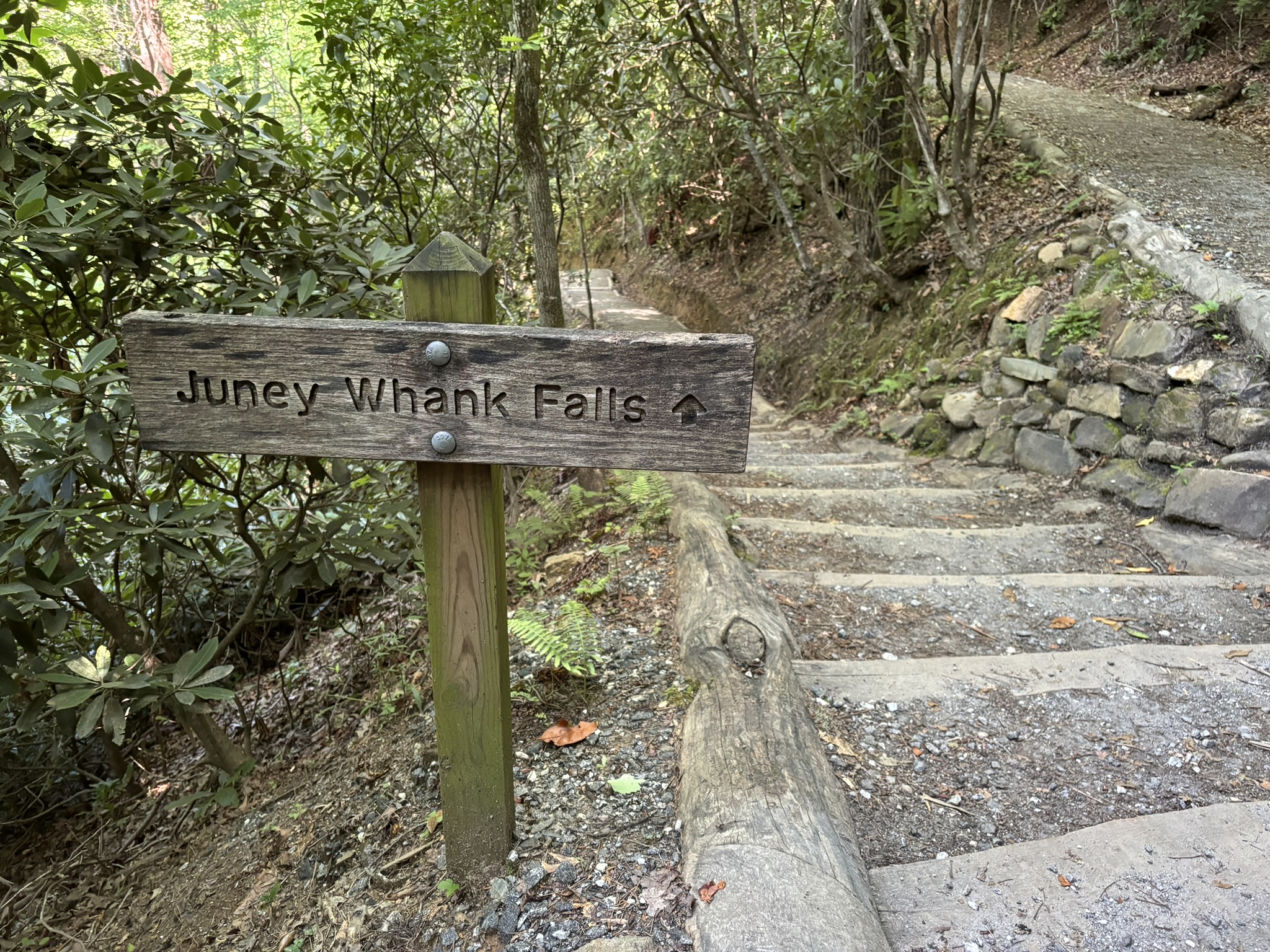
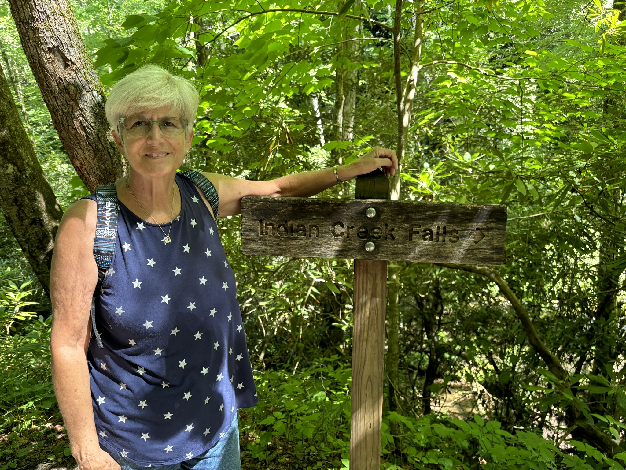
Next to the falls. The first falls were at the Deep Creek Trailhead close to the RV park. There were two ways in. We took Galbraith Creek Rd since it was close to the RV park. But interestingly, about half way to the falls parking, it turned into gravel and narrow with a sign saying no towed vehicles beyond that point. And a guy with a big 5th-wheel RV trailer was trying to back out and turn around without much luck. We tried to help but he needed some time to calm down and assess the situation, so we passed him with just enough room and headed on. If he had gone about a ¼ mile on the gravel, there was a turn off, used by locals with big horse trailers, large enough to pull in and head back! Oh, well. Never found out what happened as we left on a different road after visiting the falls.
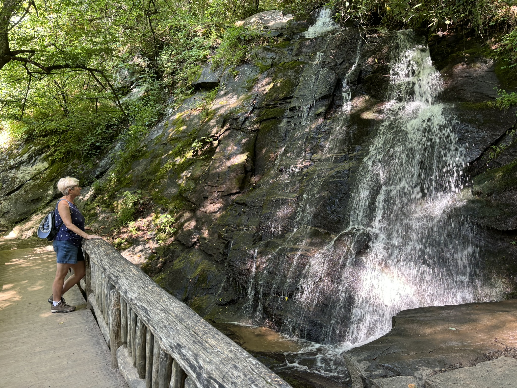
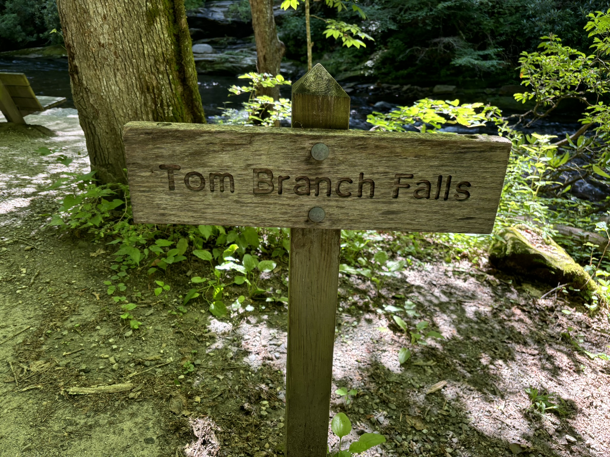
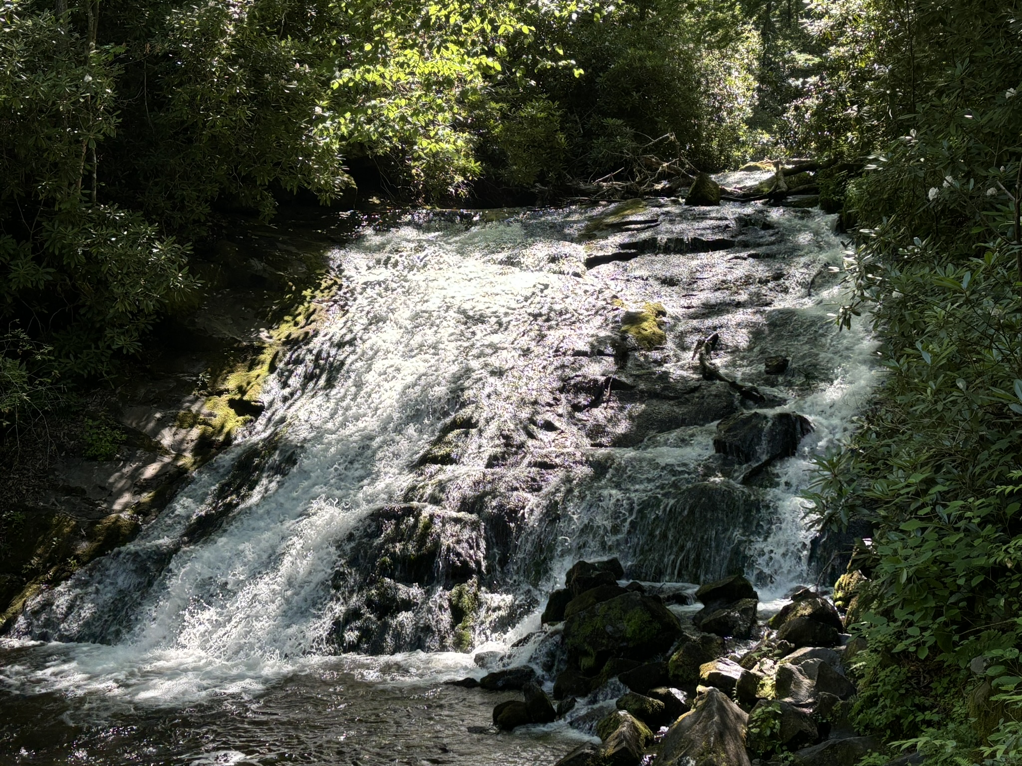
The falls parking was almost empty as we were up early. The first falls trail said it had a moderate elevation change but their definition and ours is quite different! Overall, it was doable, only about .5 mile and the result was very nice. Called Juney Whank falls (meaning “where bears cross”). Coming down was steep but easier, and it took you to where the path is wider and, as we would soon discover, where all the tubers hike up to their launching point! We found the other 2 falls after a nice relaxing hike and headed back to the parking lot.
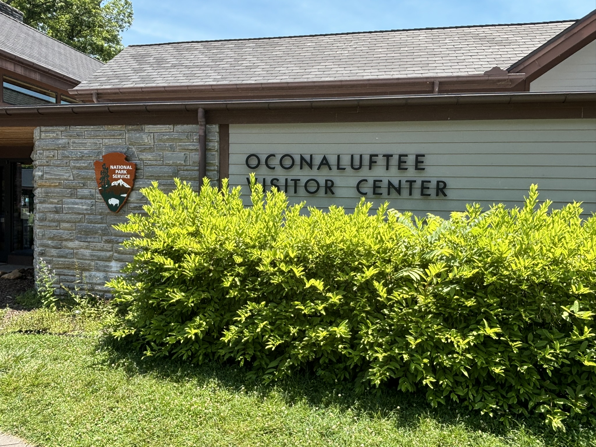
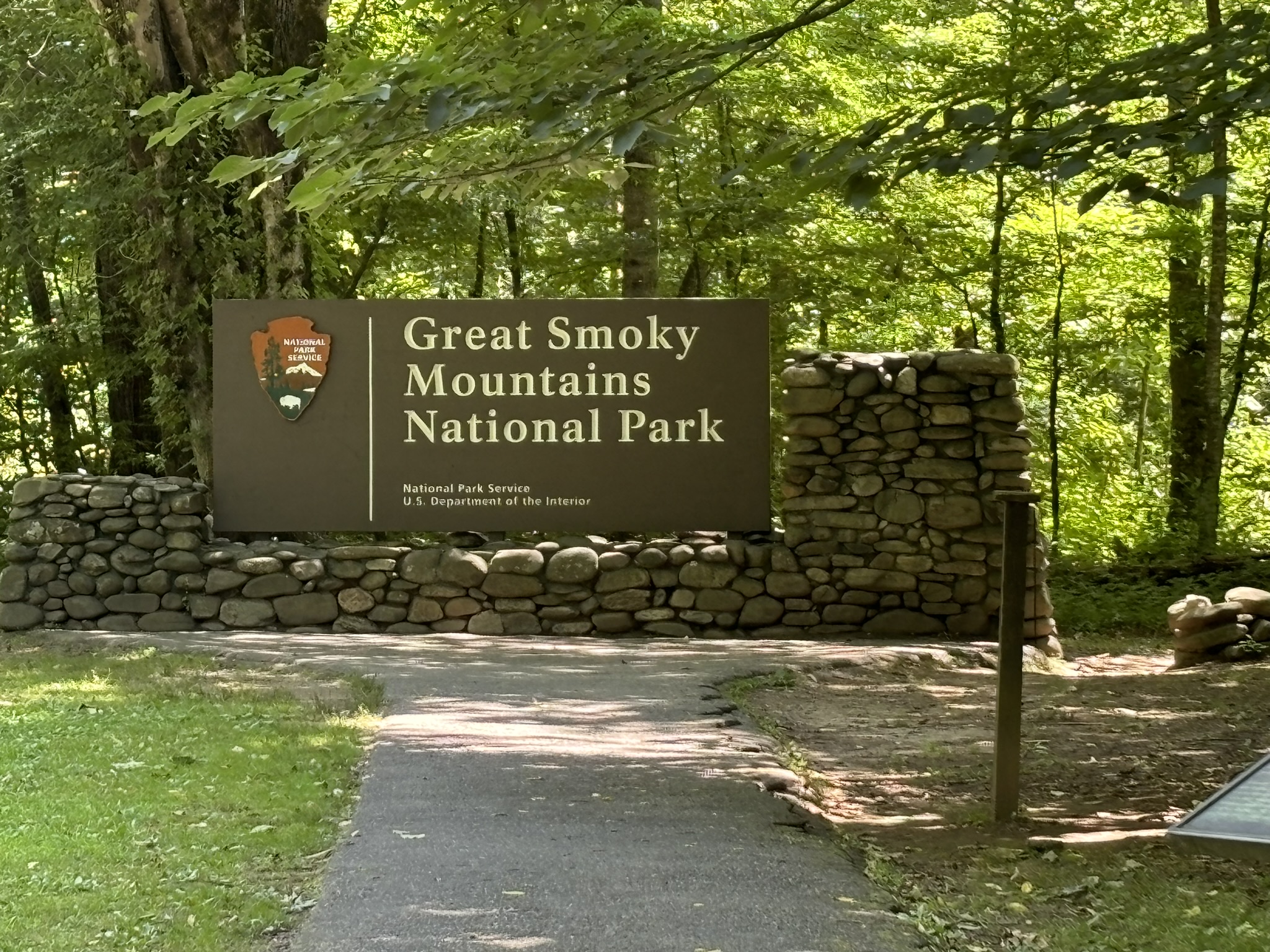
Next, we chose to visit the Great Smoky Mountain Visitor Center in Cherokee and also find where the end of the Blue Ridge Parkway starts for our drive the next day. The visitor center was full of information on the area and in addition had an example of a working farm from the 1800’s along the bank of the Oconaluftee River.
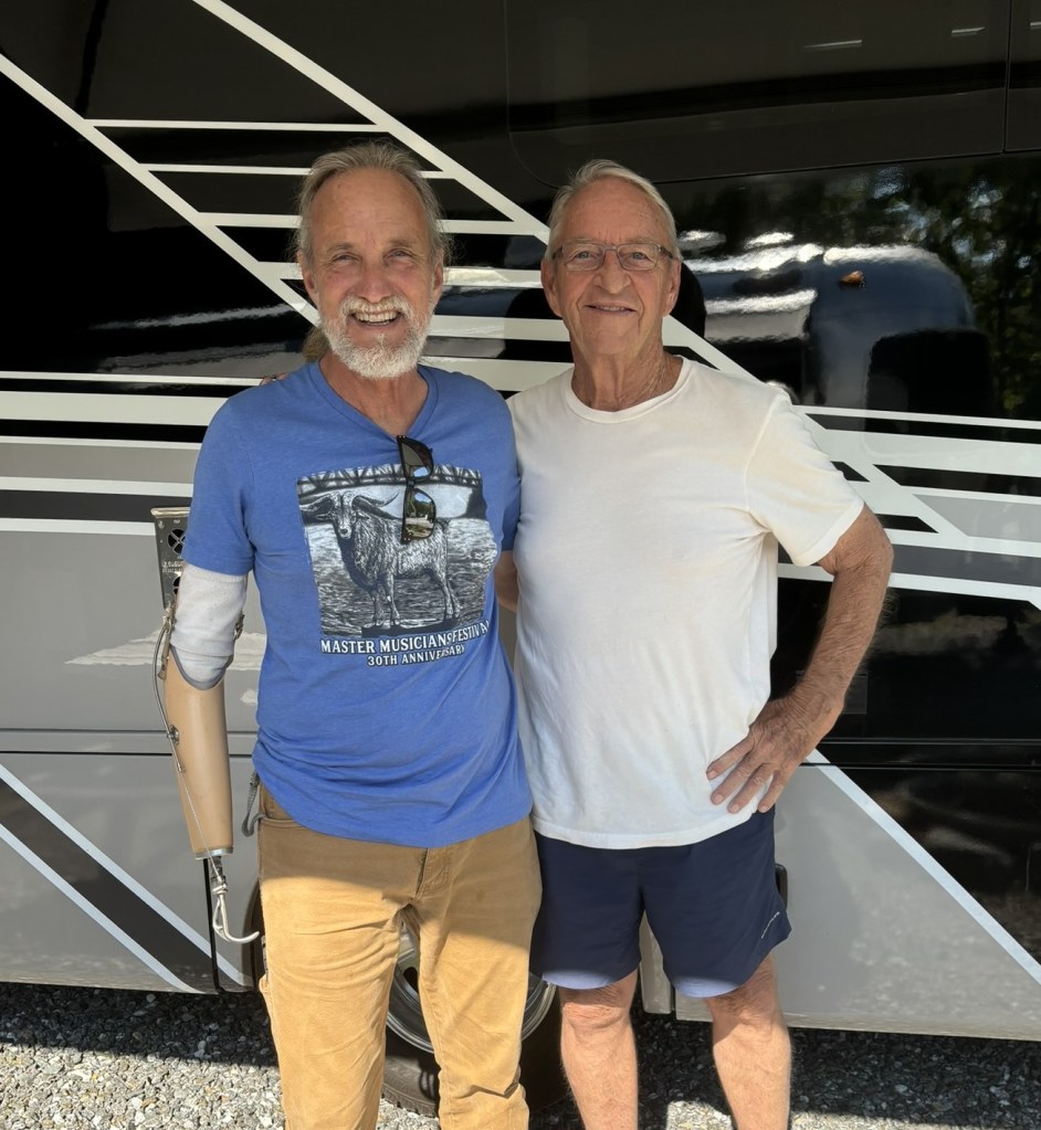
Later that evening our friend Zip Robertson came by the RV park to visit. We have known Zip for many years in Miami. I sold him a sailboat that he lived on with his black lab, Major, and we became good friends. Zip also played guitar in several bands over the years and especially at the Coconut Grove Sailing Club in our neighborhood. Zip had retired and with his sister had bought some land just outside Bryson City and he is now living and playing there full time. We hashed over some old history and discussed RVing and life in general. Great to catch up.
The next day we went back to Cherokee and started the 469 mile drive up the parkway.
