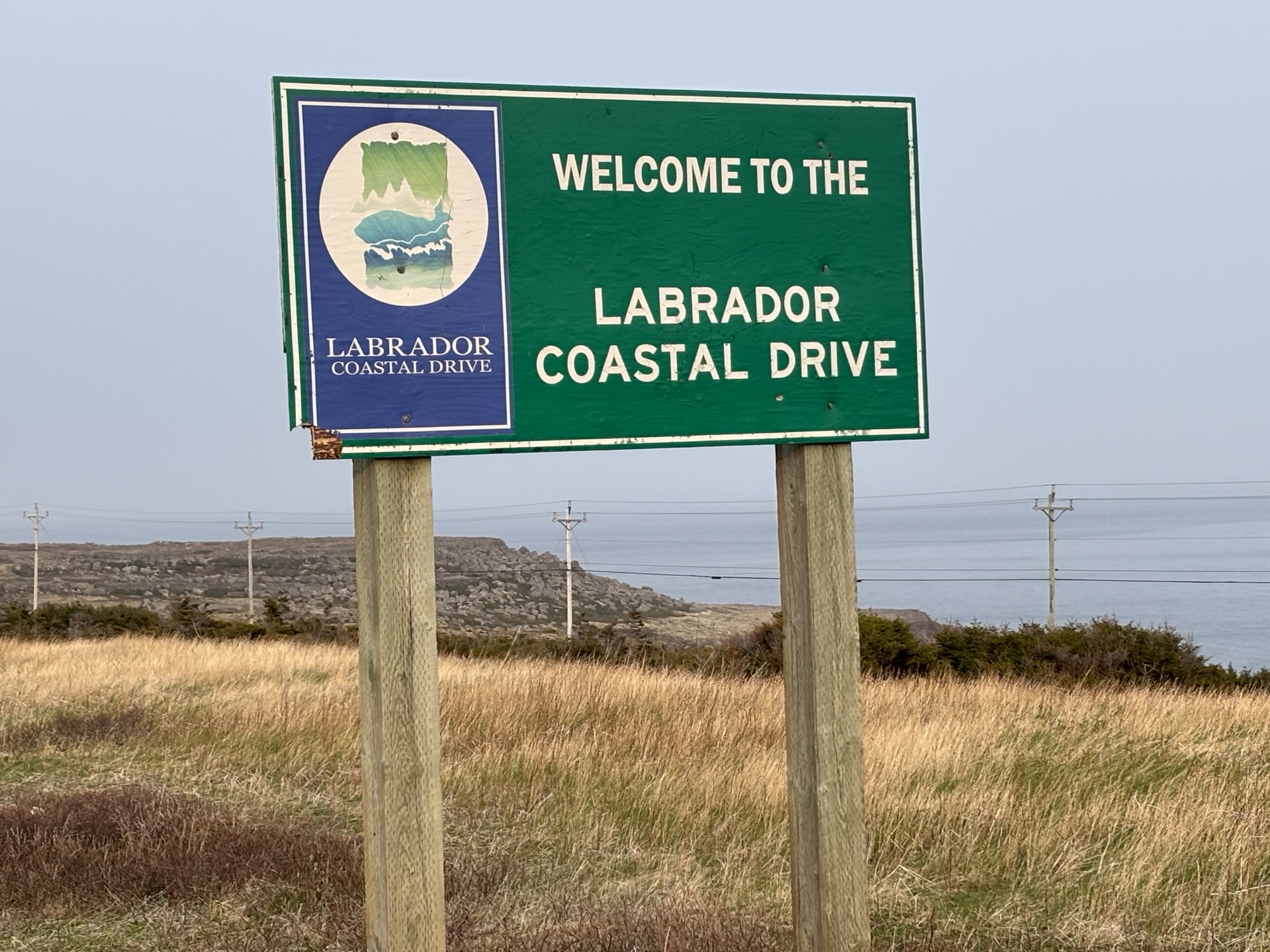
The Trans Labrador Highway (or TLH) is about 700 miles long and goes from the border with Quebec at Blanc Sablon to the border of Quebec at Fermont. Check the photo. At Fermont, it connects to Quebec Hwy 389 and goes south to Baie Comeau for about 350 miles. So, about 1000 miles through some big country. We plan to do the whole length.

We pulled into an RV park in St. Barbe, NL that is located across from the ferry terminal to go Blanc Sablon, QC. We were leaving on the morning ferry the next day. The park was basically a fenced-in grass field with hookups for maybe 30 RVs around the perimeter. Most were like us, transient. Either waiting to leave or just arriving back to stay at the closest RV park from the ferry. Nothing fancy at all, but a good quiet place to prep.
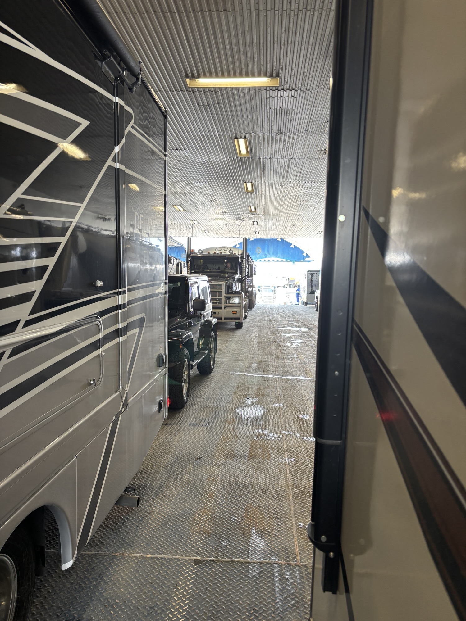
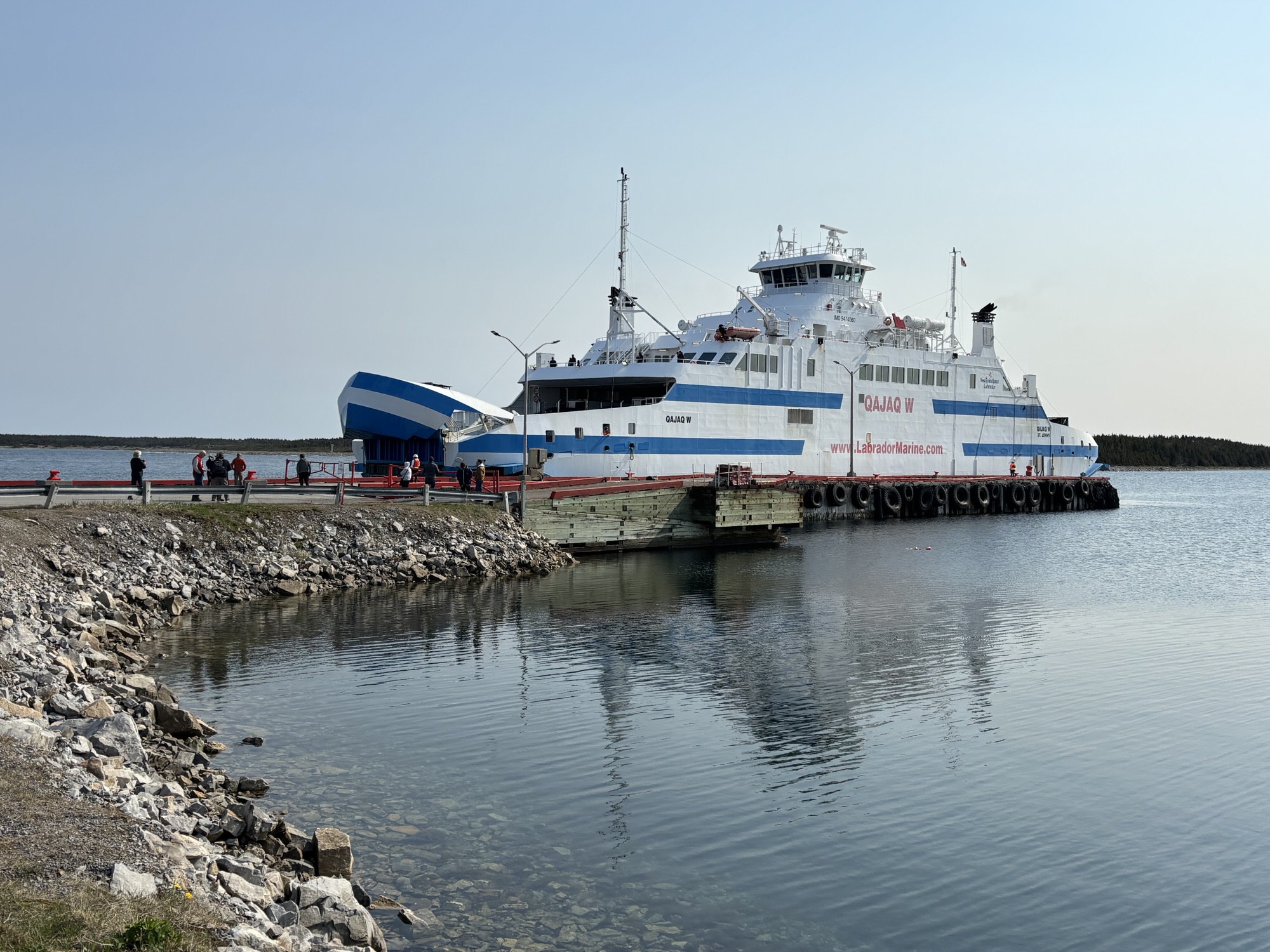
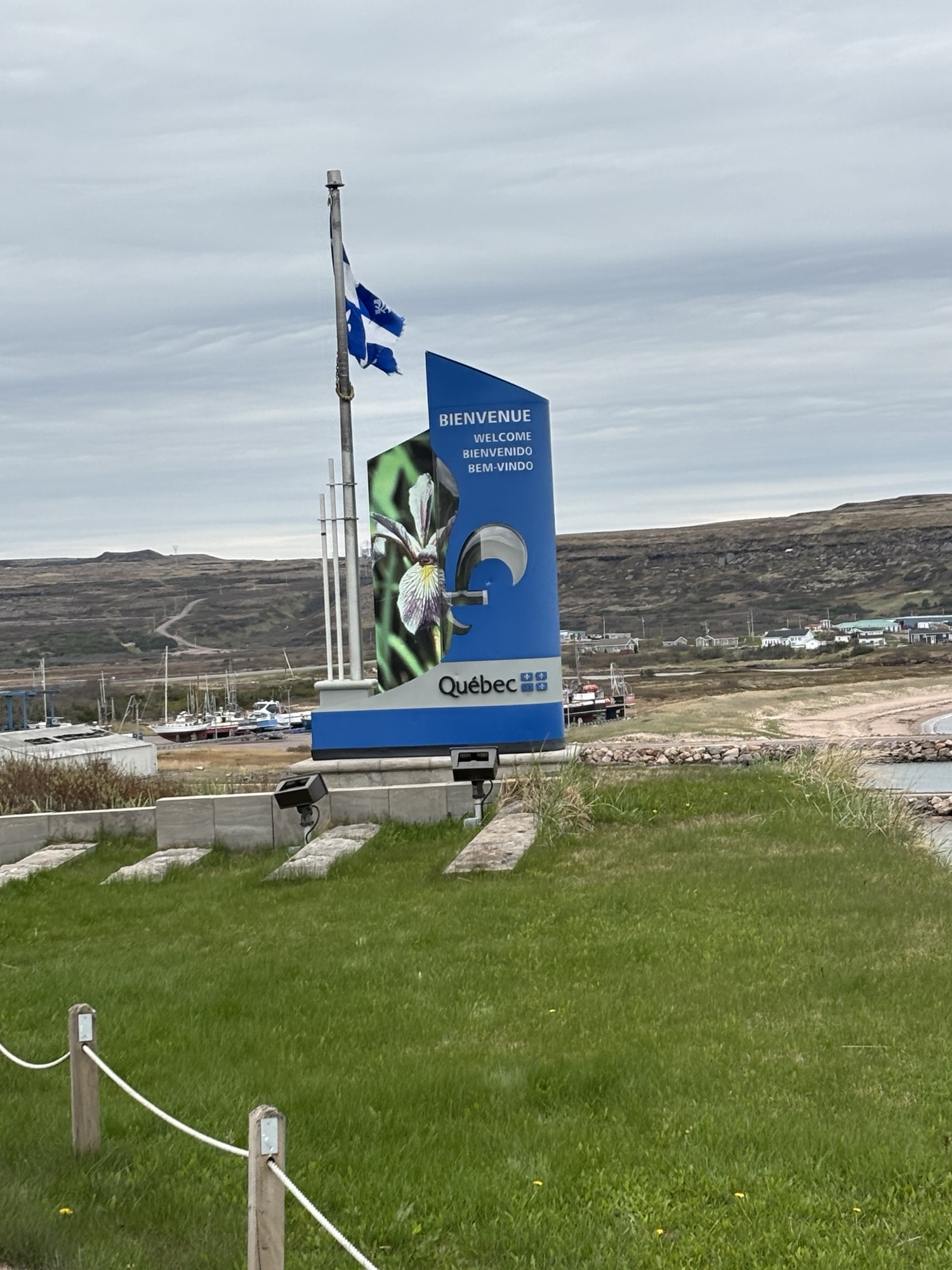
The next morning, we were off early to get in line. They allowed us to stay hooked up since the ferry was “double ended”. Unlike the ones at Fogo Island, this ferry had ramps at both ends so you could drive straight through! And since we were 45 feet long, they put us with the semi-trucks, and we boarded almost last. That also meant we were going to be off near the front!
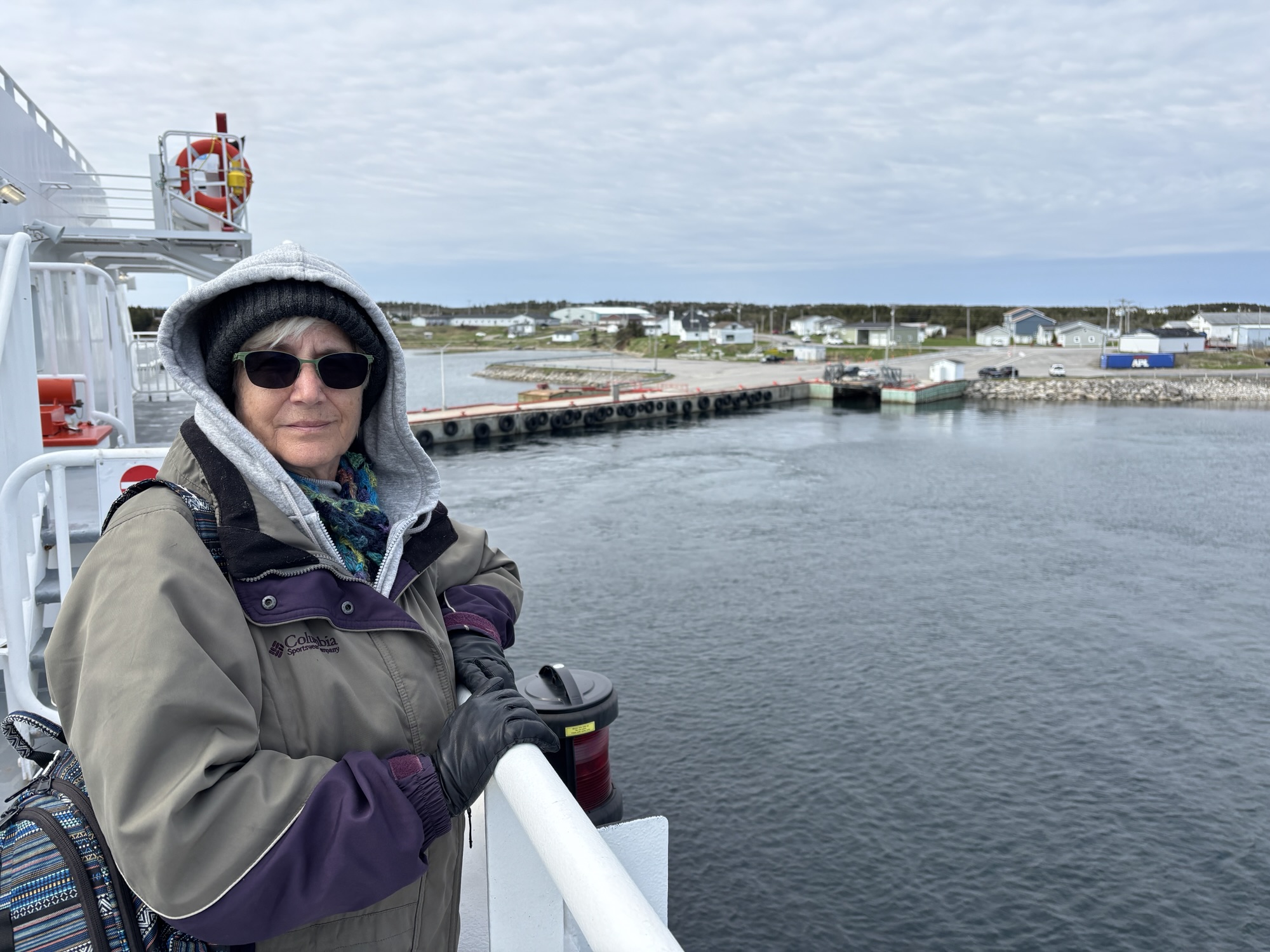
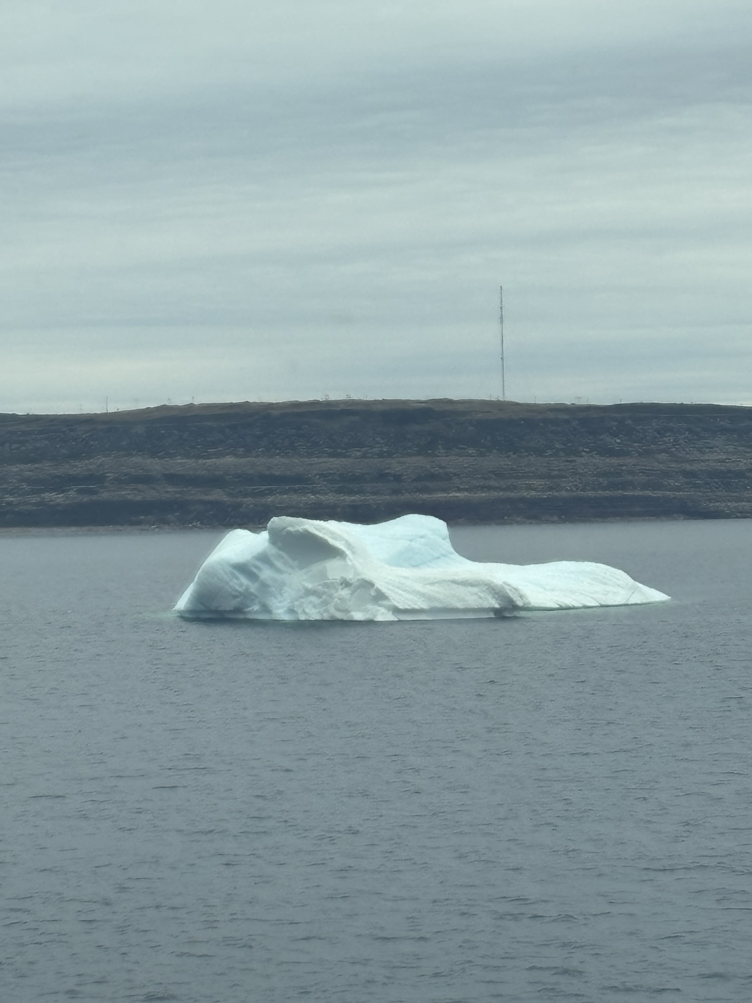
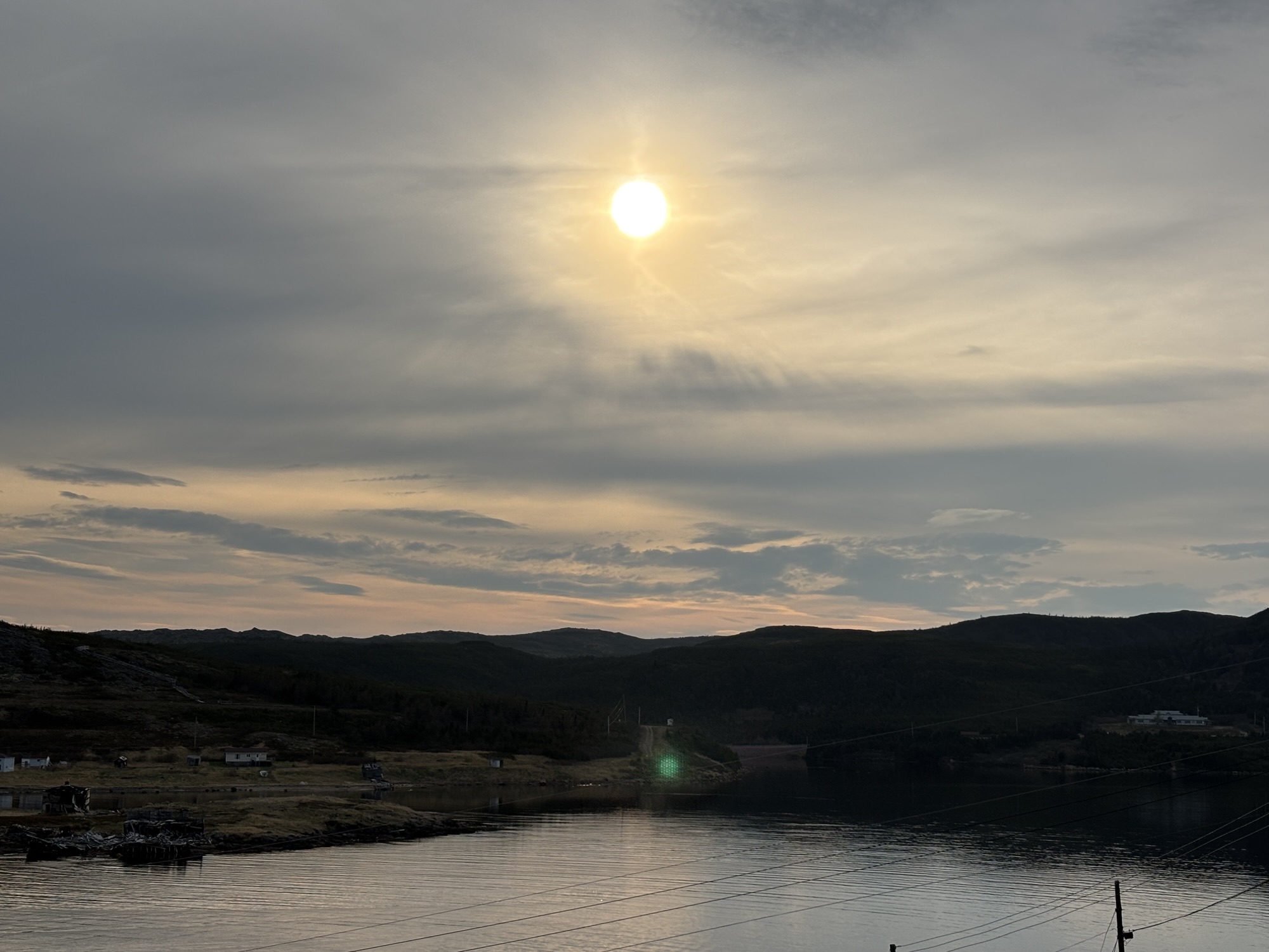
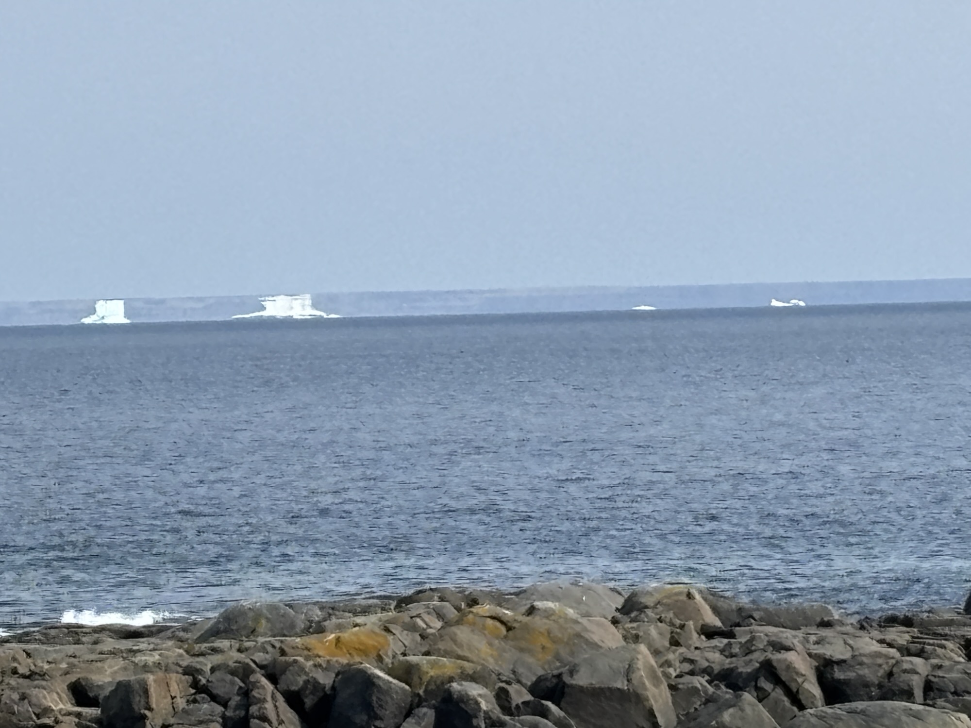
The trip across the Straights of Belle Isle and the Gulf of St. Lawrence was about 1 hour and 45 minutes. The seas were very calm and at the north shore, there was a nice sized iceberg and a small whale (yes, our first whale – we think?), waiting for us. Easy off and only 7 miles to the border of Labrador and our next stop.
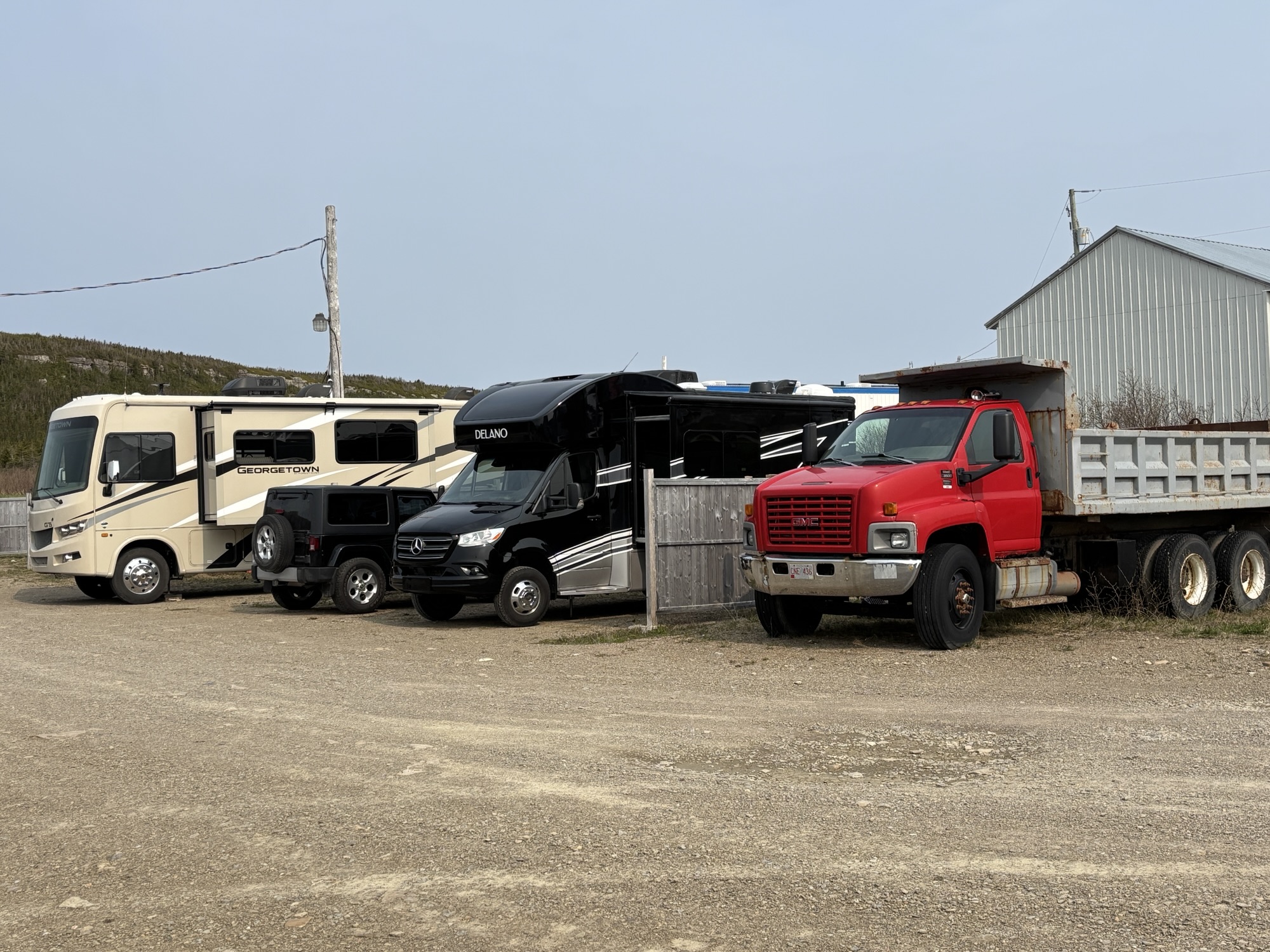
This park was even more sparce than the one we had just left. It was part of the Northern Lights Hotel and behind a row of cabins across the street from the hotel. We parked next to a dump truck that I assumed was used in the winter to spread sand and salt. Not sure, but it had that rusty look! The park was small and nothing great and similar to the one in St. Barbe where people arrived from the ferry or came to wait! But it had the full hookups that we really needed.
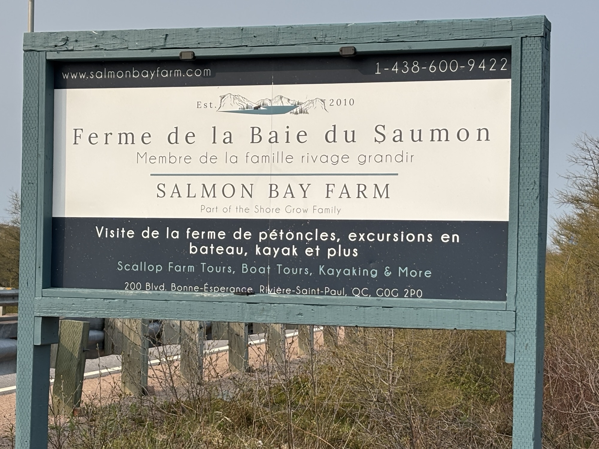
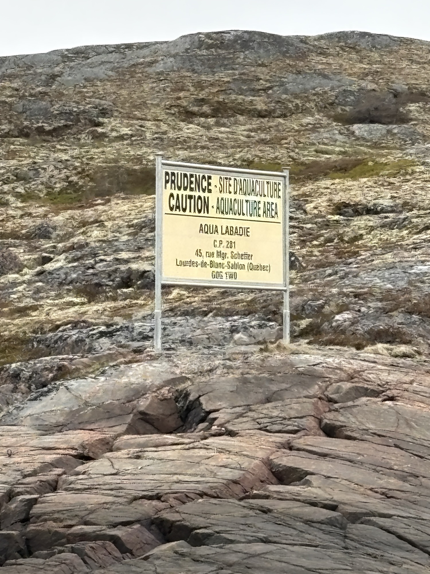
With our afternoon available, we decided to check out a scallop farm that had been recommended. It was back west of the Quebec border about 30 miles past the ferry dock and located on the Salmon River and the community of Bonne Esperance. We had been to oyster farms and seen mussels in the past, but this was very different.
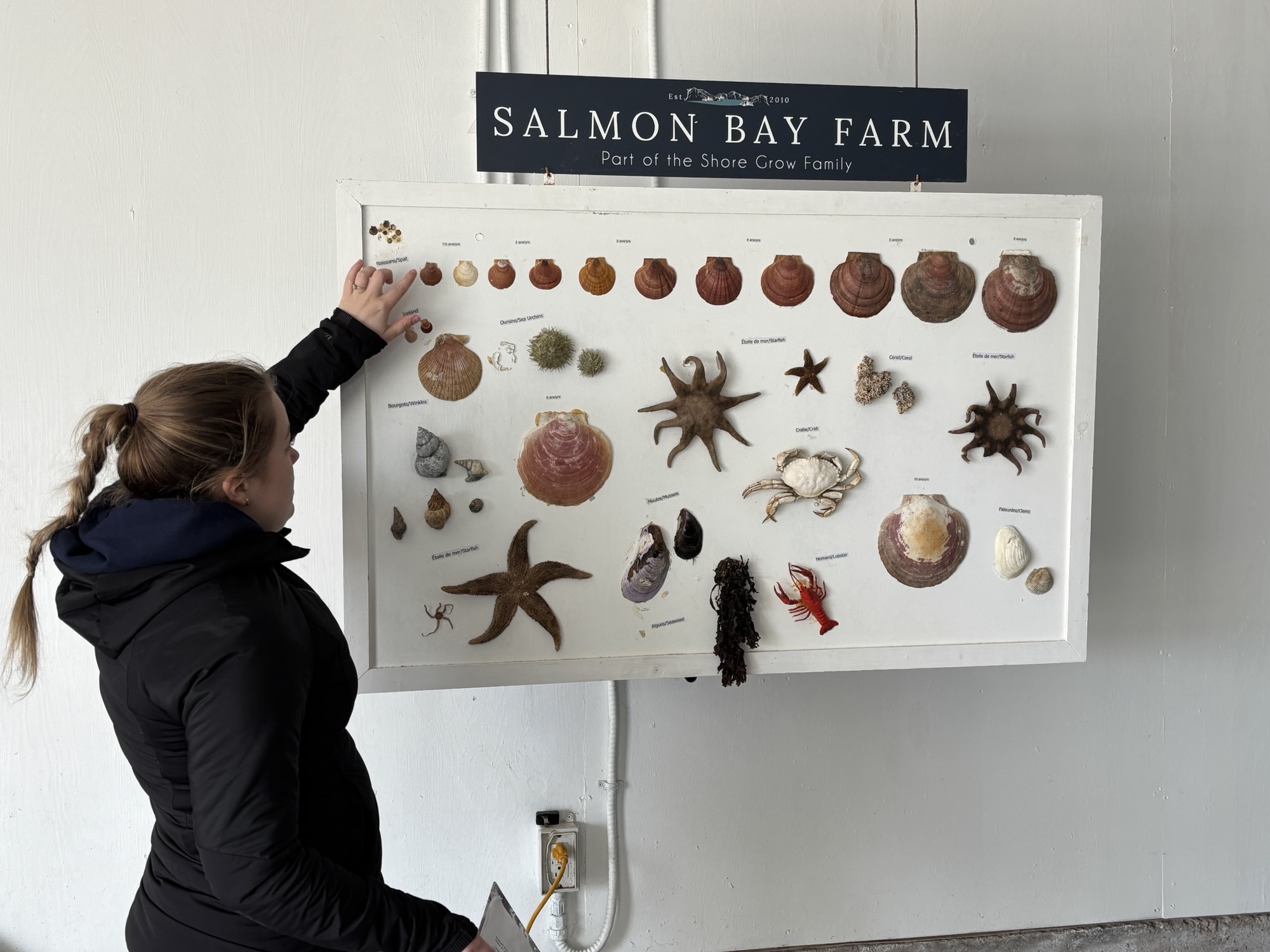
It was purchased recently by a couple and their family with plans to expand the business. We first took a pleasant (and chilly) boat ride on a nice pontoon boat around their property on Salmon Bay. Then we had a presentation about the process of growing scallops, starting with capturing the young “spats” and helping them grow to maturity without being eaten by predators like starfish! It is a very manual and tedious job! After 3-5 years, if they survive, they are large enough to harvest and sell. The larger and more mature may be 8-10 years old and are more expensive (of course)!
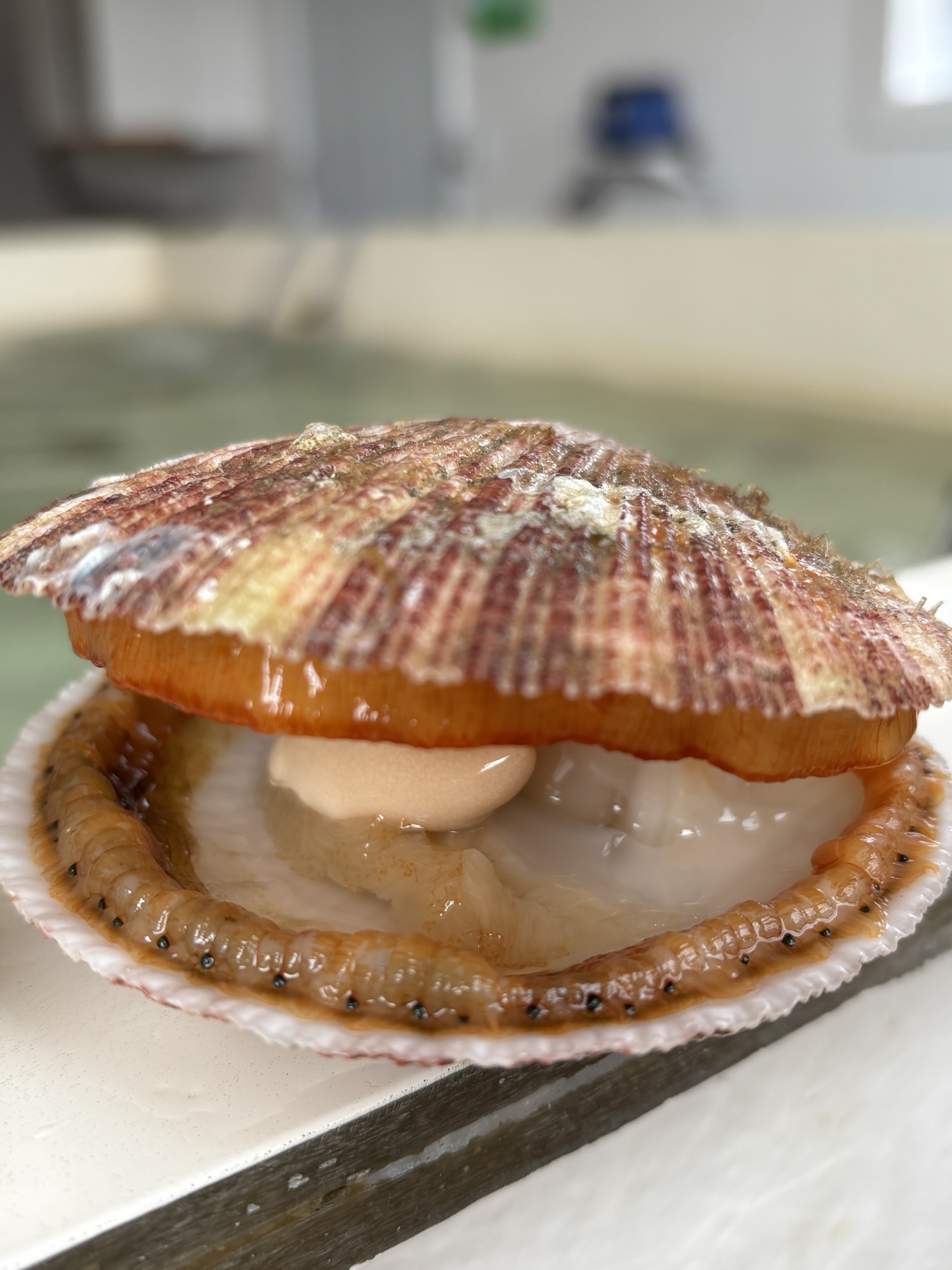
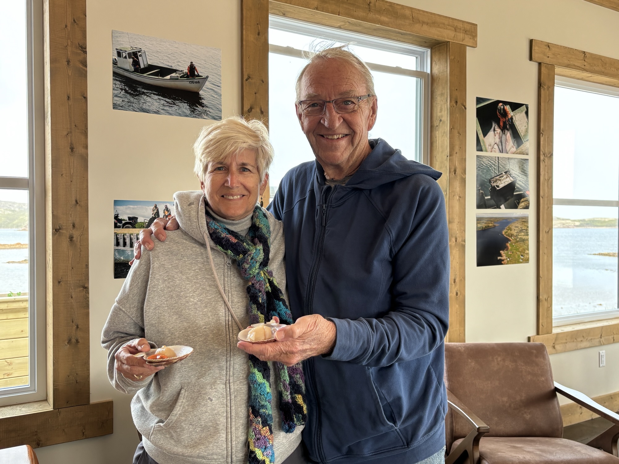
Then we got to select 2 from the tank which we took to the dining room where they were opened and cleaned for us to enjoy with a nice glass of wine! One happened to be a boy scallop, and the other one was a girl. Both were very fresh and with a good texture and flavor. All-in-all, a very interesting and informative trip.
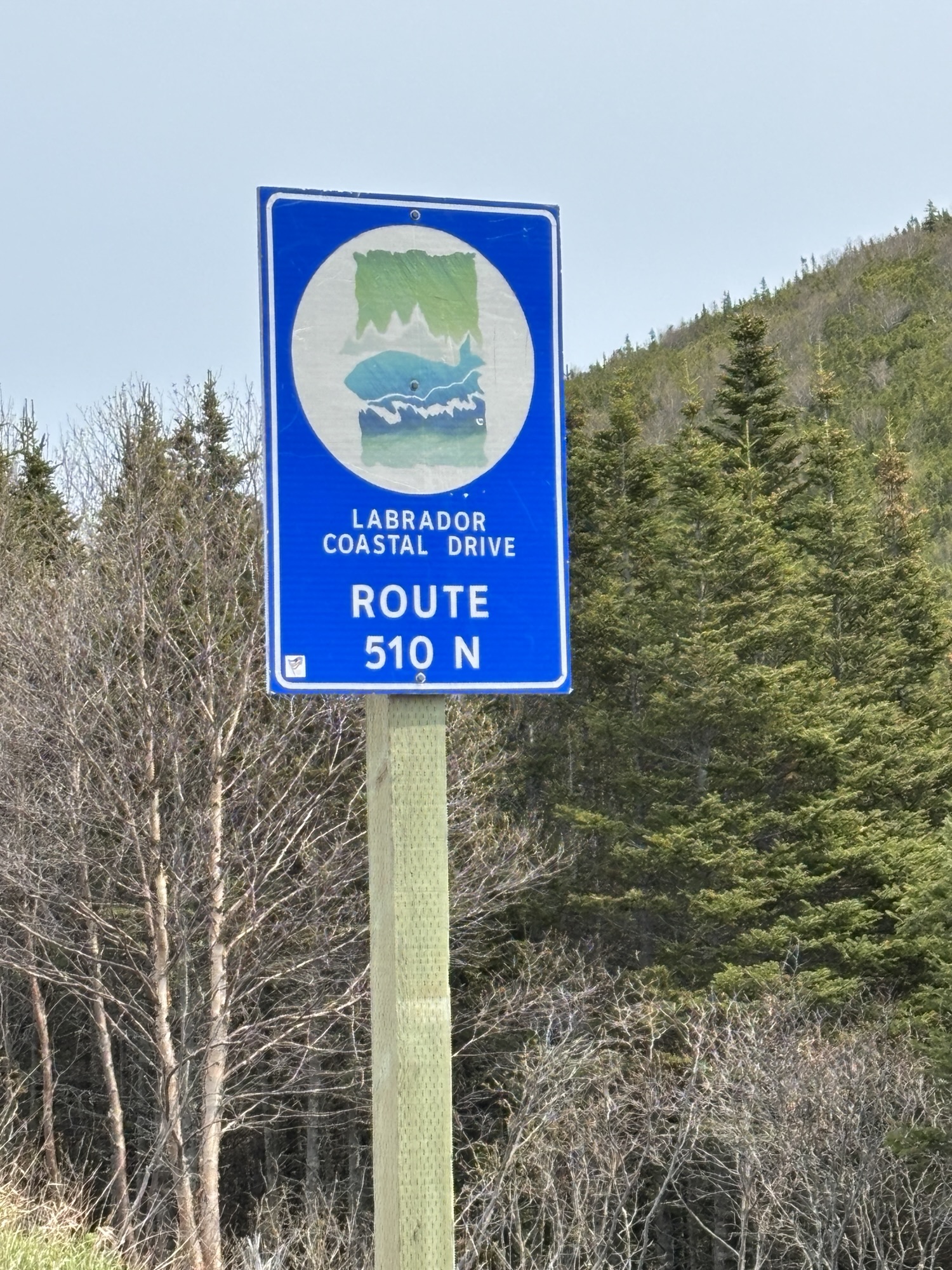
Back to the RV and a nice evening before we took off for our trip around Labrador and the Expedition 51 route the next day. Expedition 51 is Hwy 510 and the road around Labrador from L’Anse au Clair to Happy Valley/Goose Bay where it connects with Hwy 500 and on to Labrador City. The entire dustance was finally completely paved in July of 2022. There are only about 6 places to stop along the route of any significance, and we have them all on our schedule.
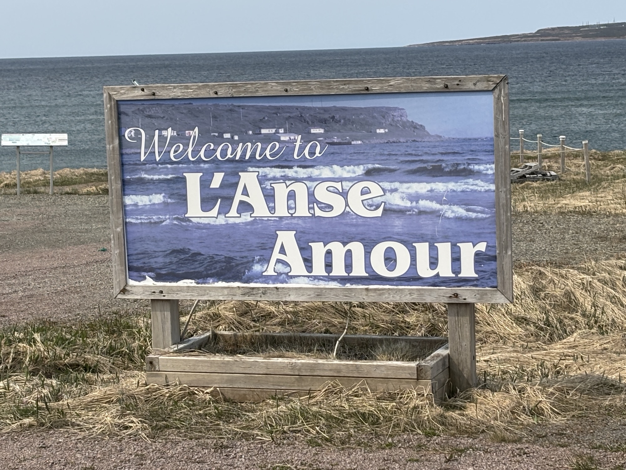
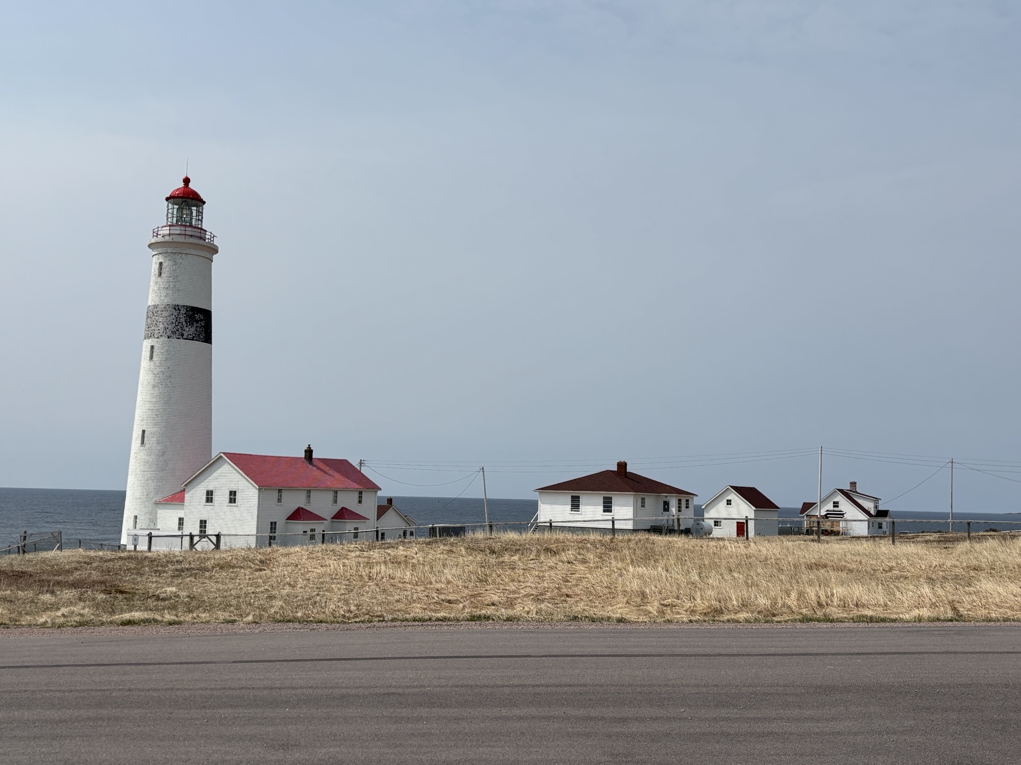
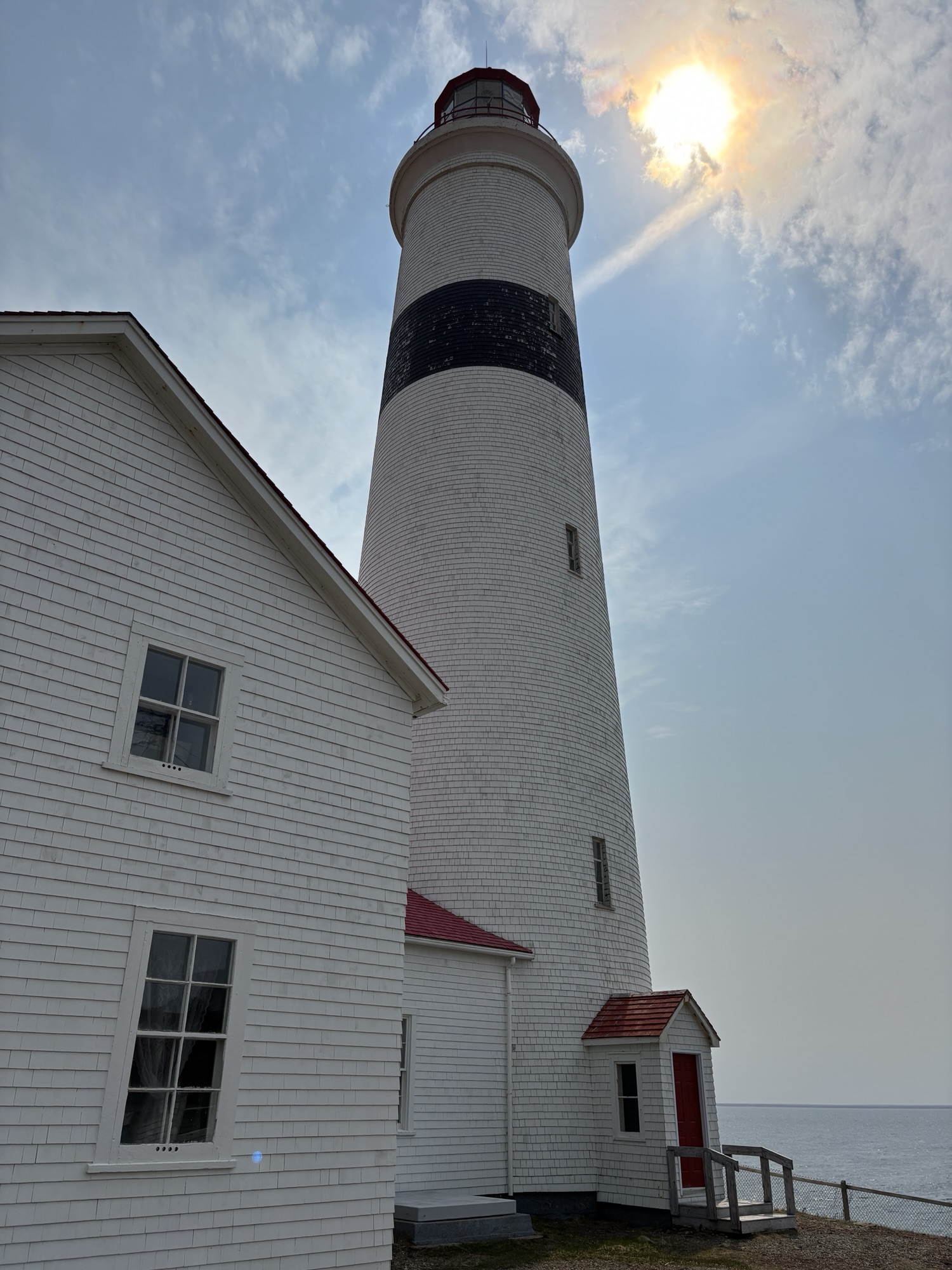
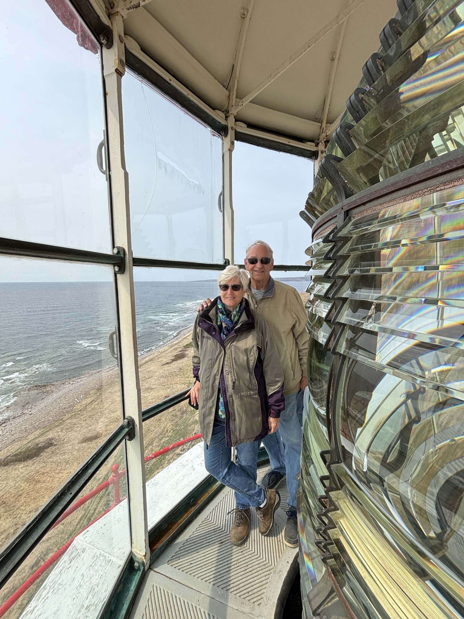
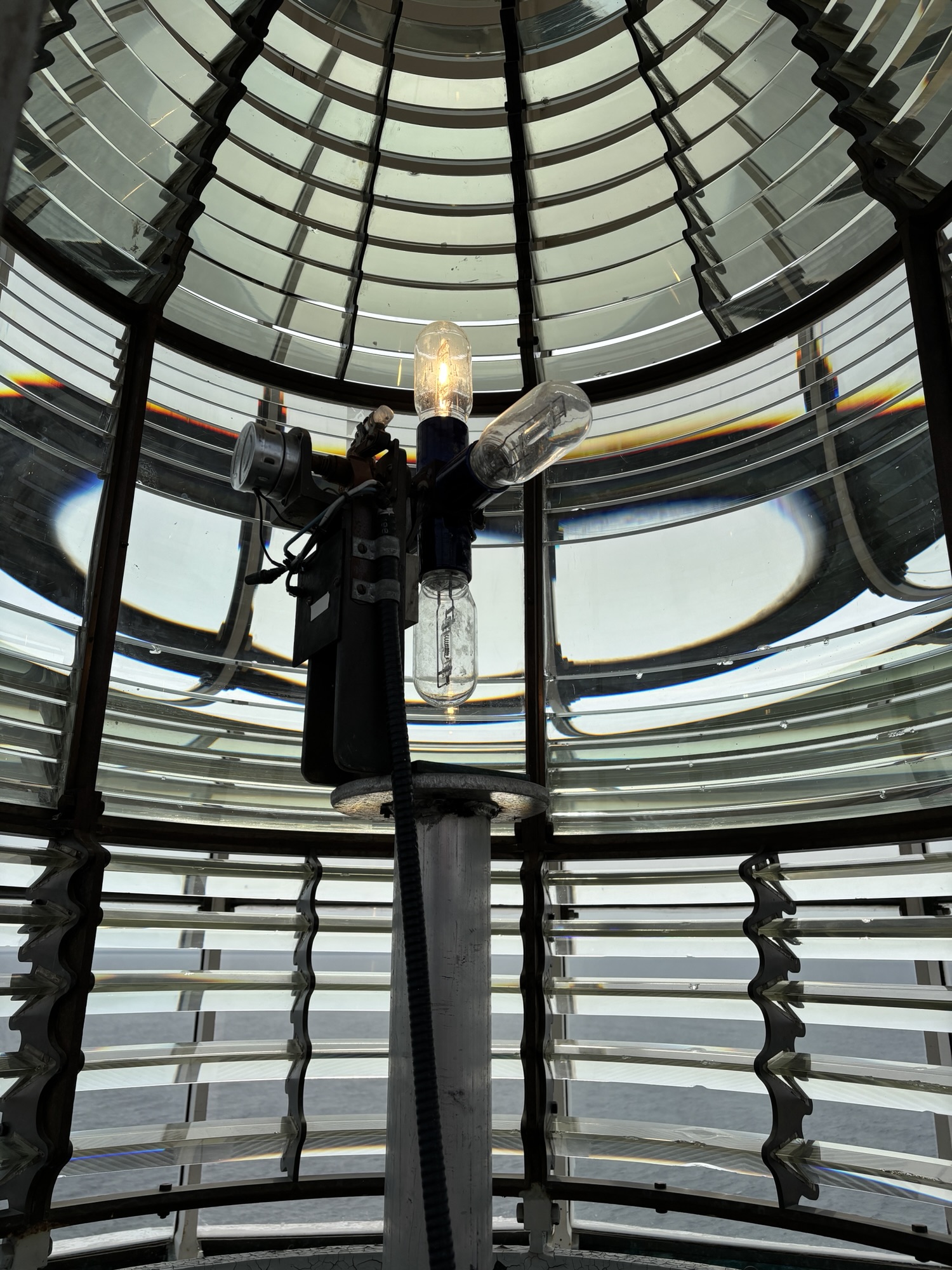
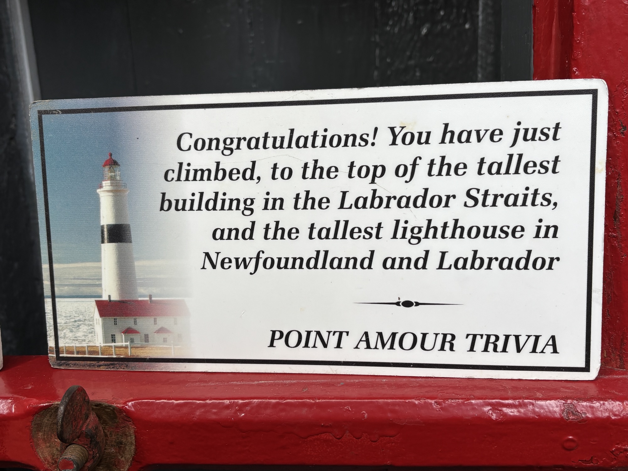
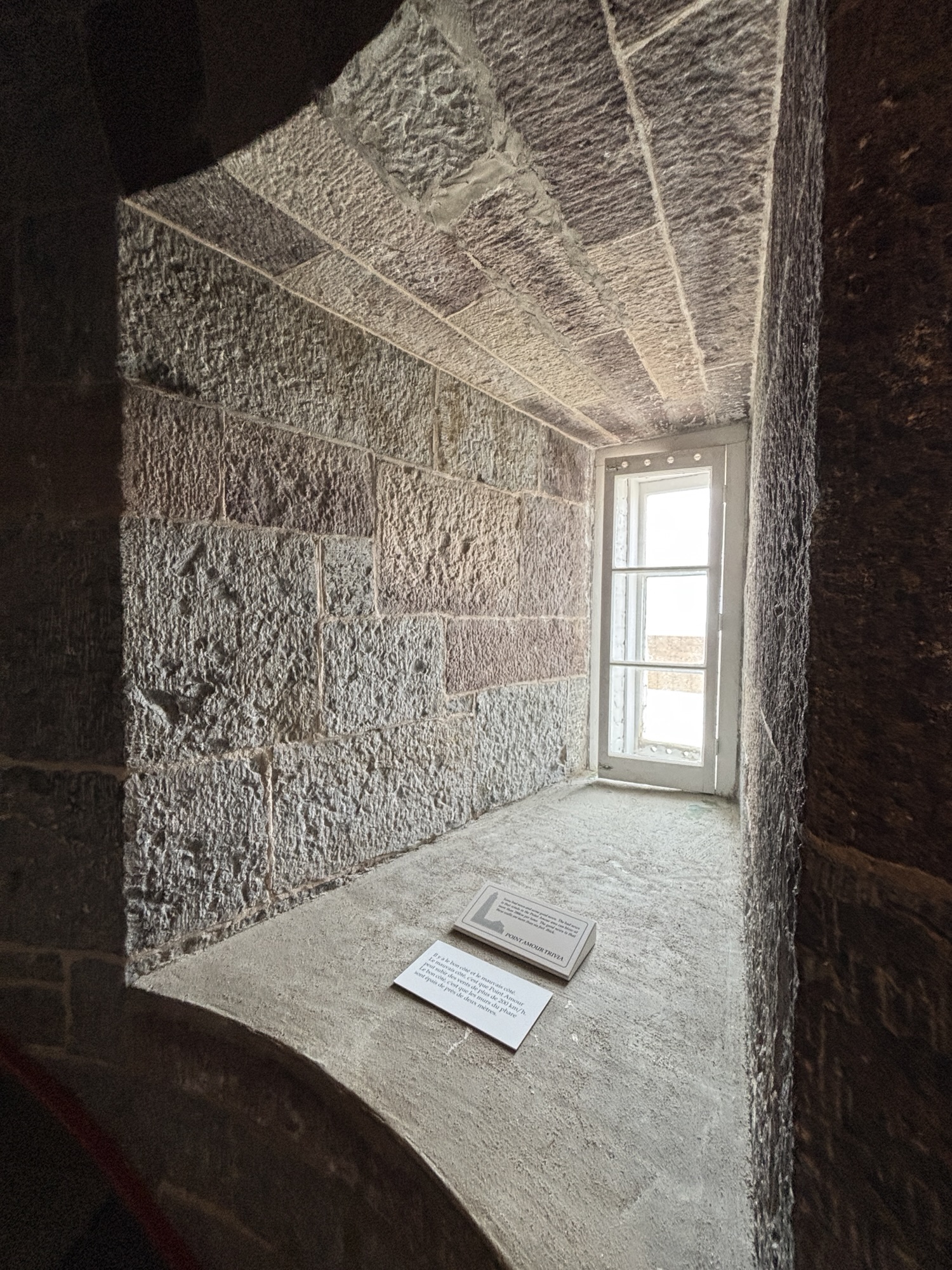
The first was only about 10 miles along Hwy 510 to L’Anse au Amour to see the Port Amour Lighthouse. It is the tallest in the Atlantic Maritimes and is available to tour to the top. The construction is very sturdy to withstand the winters. The caretaker’s house is now a museum with memorabilia and documents of its history. Very nice.
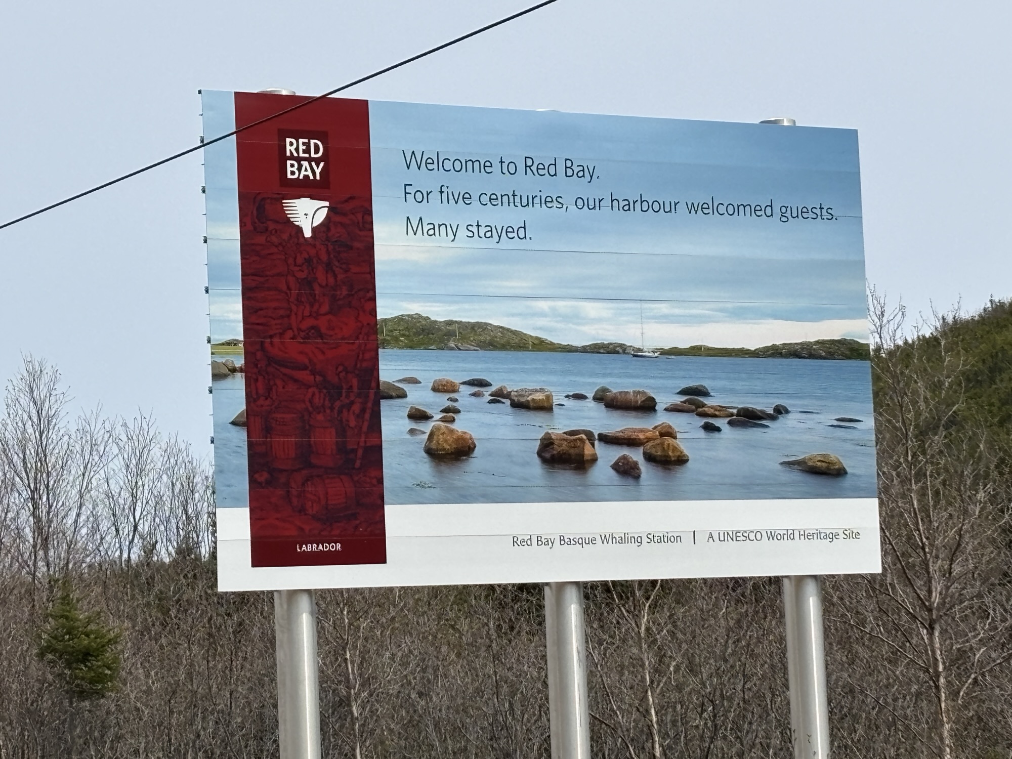
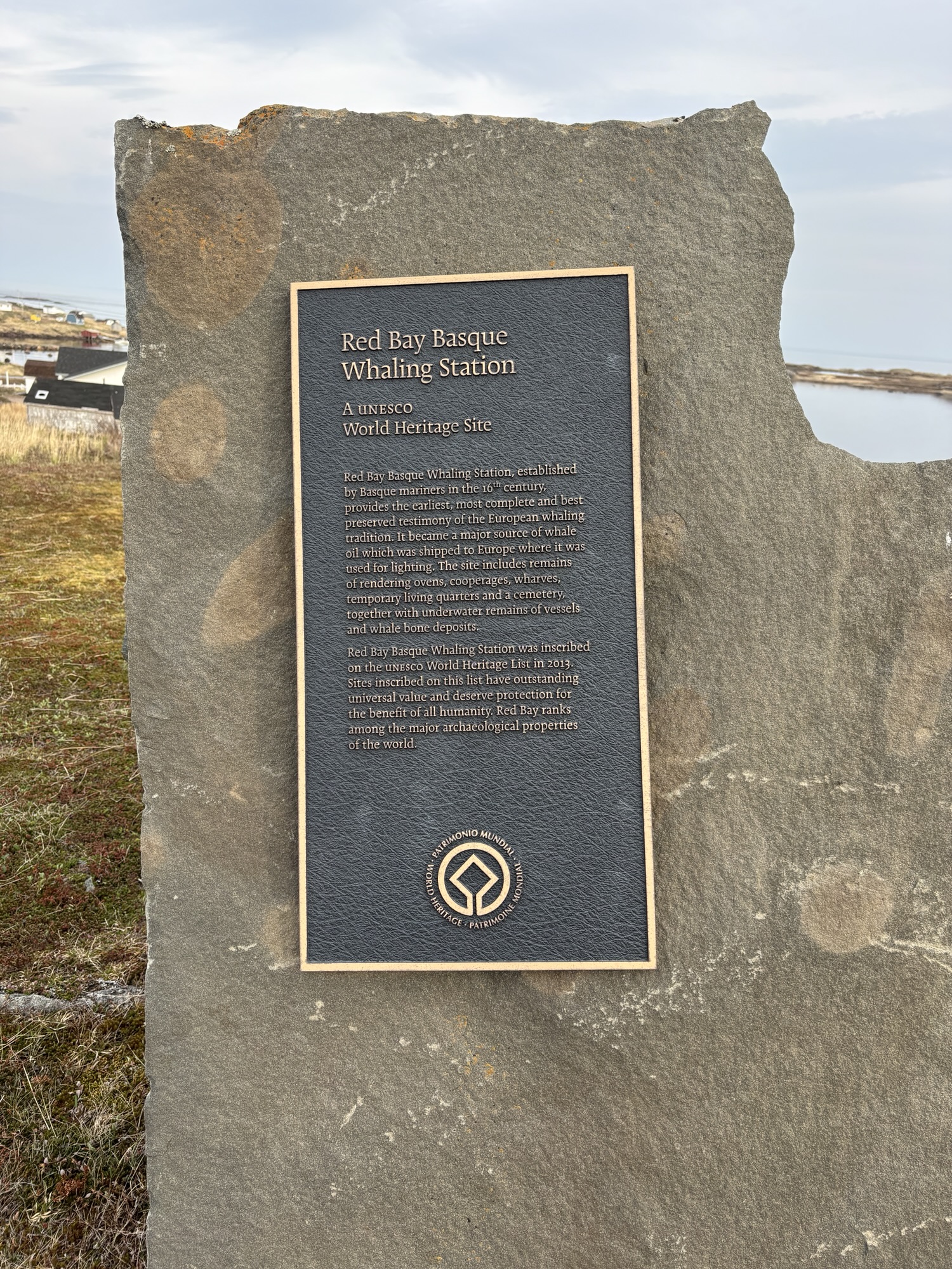
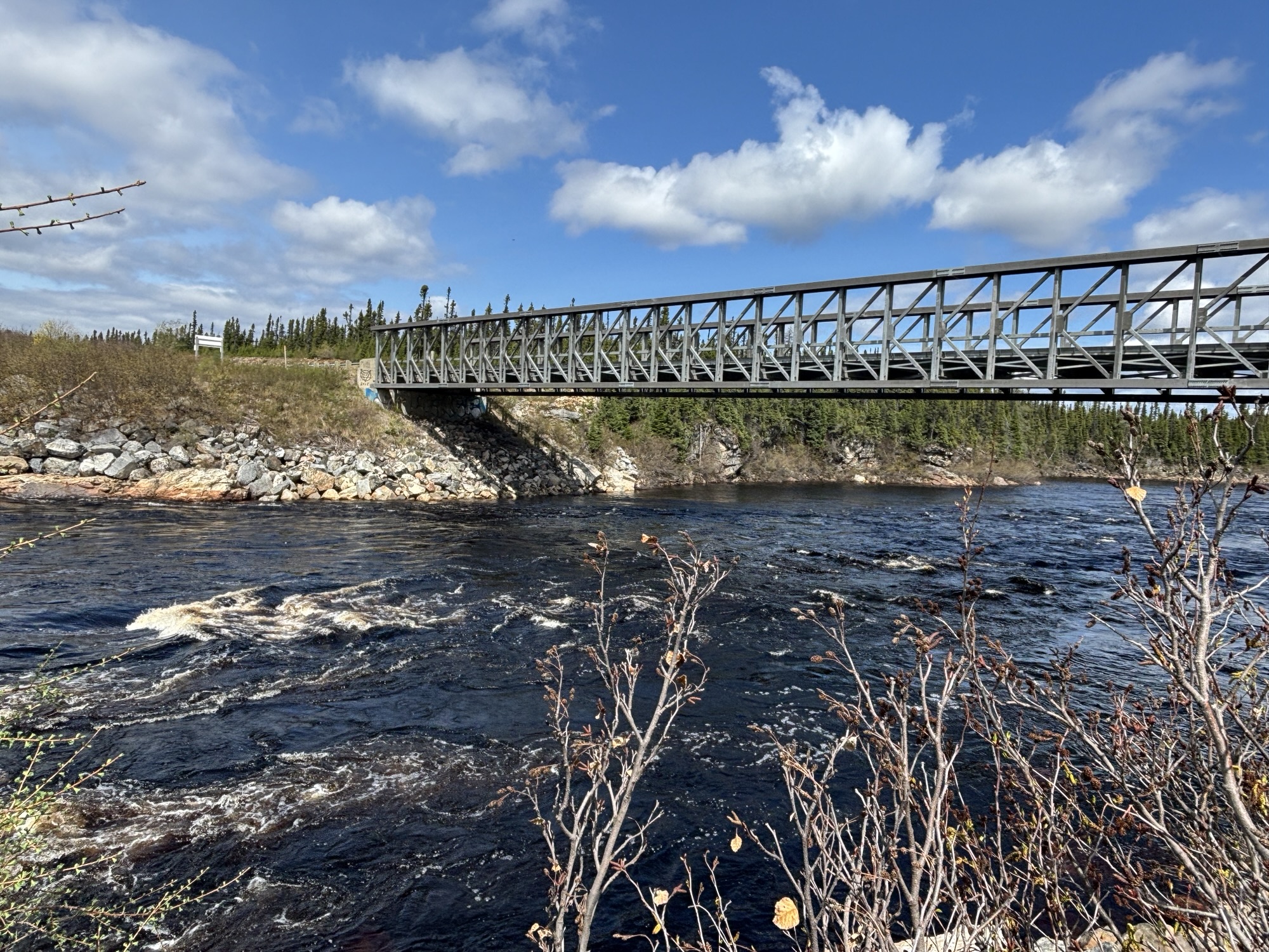
Then on a few more miles to see the Red Bay Basque Whaler’s Station Historical site. It is a UNESCO site and one of the only excavated sites where the Basques lived and worked to collect whale oil for Europe over more than 400 years ago. The site on Saddle Island in the bay was explored during the 1980’s and is now being surveyed with more modern equipment. The visitor center is new and there is a recovered and restored whale boat (or “Chalupa”) on display. We took the walking tour of Saddle Island and learned more about the process of getting the oil and preparing it for shipment.

But the problem was where to stay for the night. The gas station/RV park out on Hwy 510 was closed permanently. So, in researching the town for the trip, I decided to call the new Red Bay city clerk. He promised to find us a place and said to call as we were getting close. Well, he was out of town when we arrived but, as fate would have it, we met the Mayor at the Visitor Center. She said that we could park at the center and hook up to the power as well. Everyone we met was so welcoming and friendly. We will never forget our short time in Red Bay.
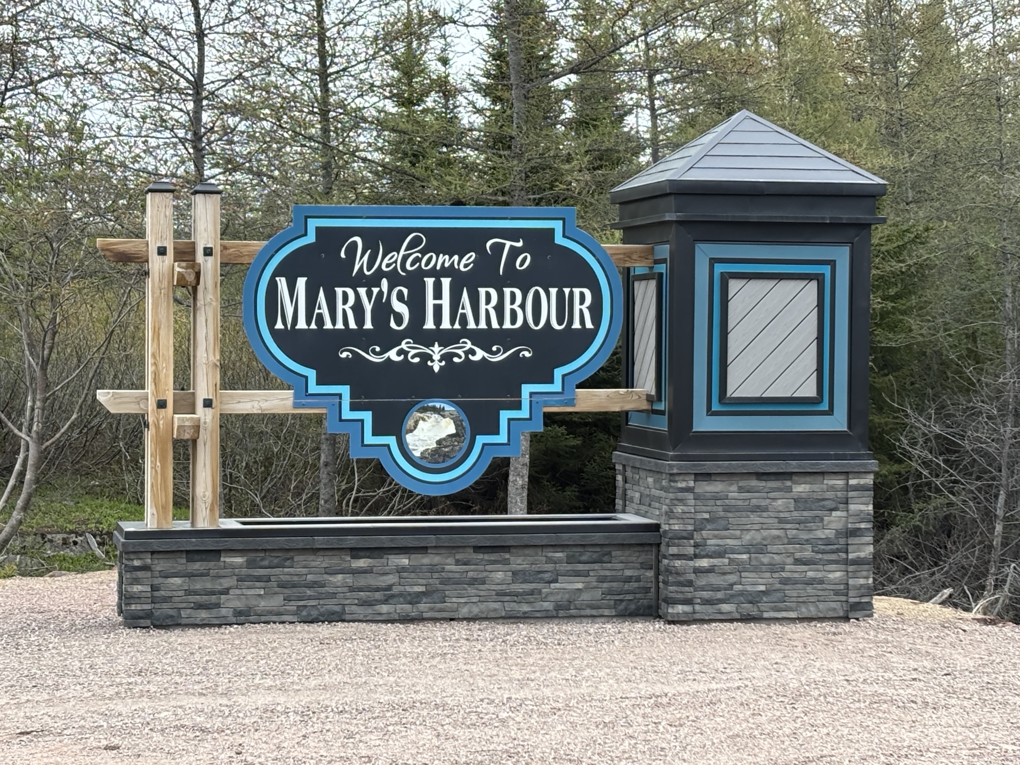
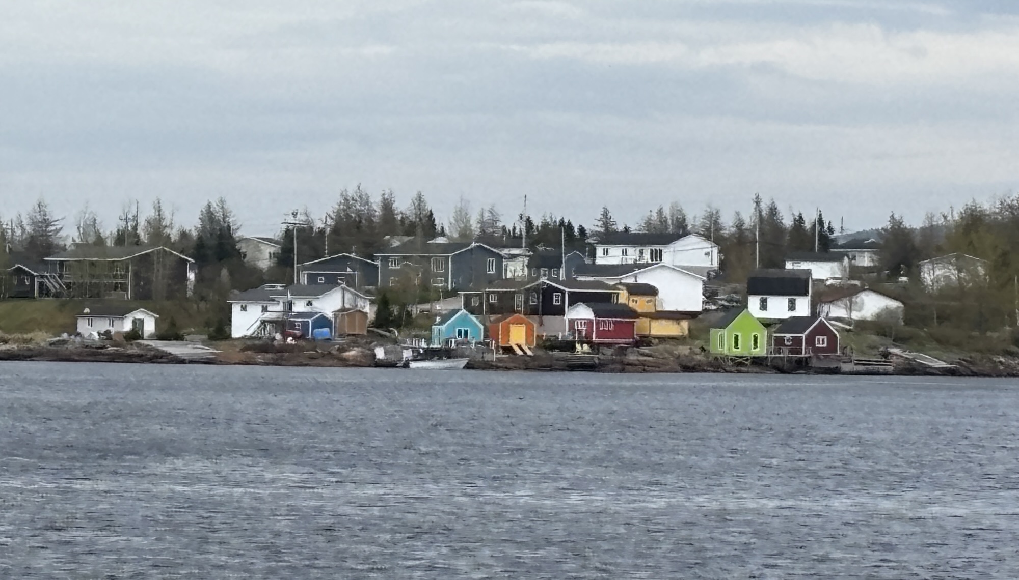
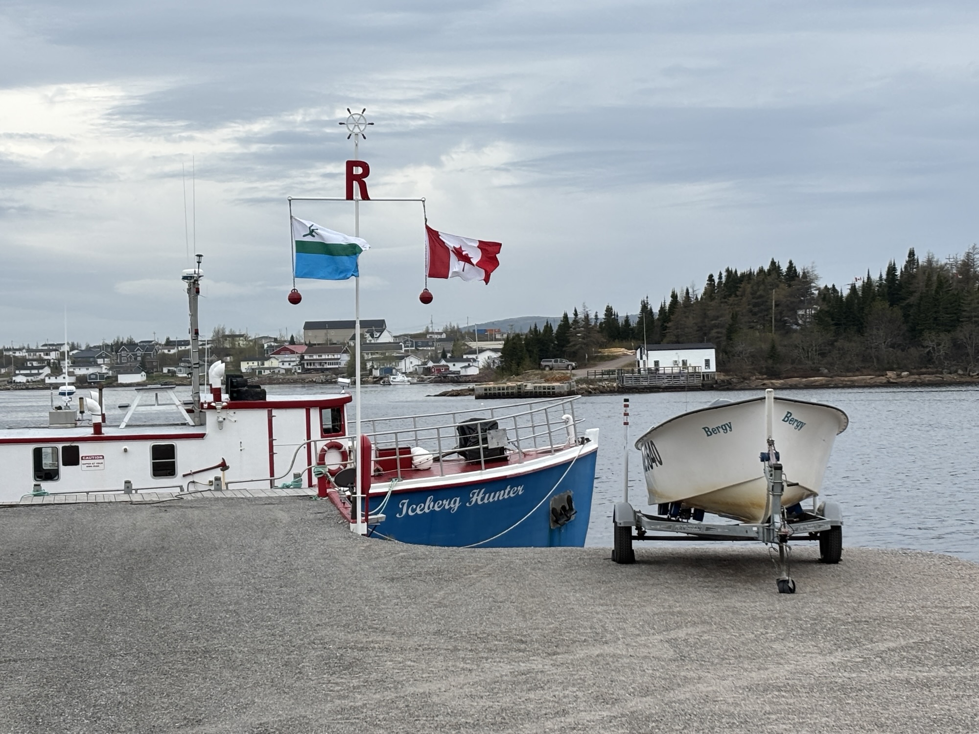
But off again. The next morning, we were off on Hwy 510 again toward Port Hope Simpson about 80 miles away. But there was a planned stop along the coast at Mary’s Harbour about halfway. This little community is the port for visitors that want to go out to the island of Battle Harbour to see the 1700’s fishing village recreation. But the 3 hour round trip boat ride did not fit our schedule.
The town was not paved and the roads were pretty rough, so we looked for a spot to park the RV and unhook the Jeep. We pulled into the empty parking lot at the school. As we were unhooking, a car pulled up and said you are in the bus lane. Thinking that school was over for the year, I was obviously surprised. But he reassured us that school was still in session and that mothers would be coming to pick up the kids for lunch soon! We reparked the RV down by the playground, out of the way, and we decided to find a hiking trail that was noted on Mary’s Harbour website.
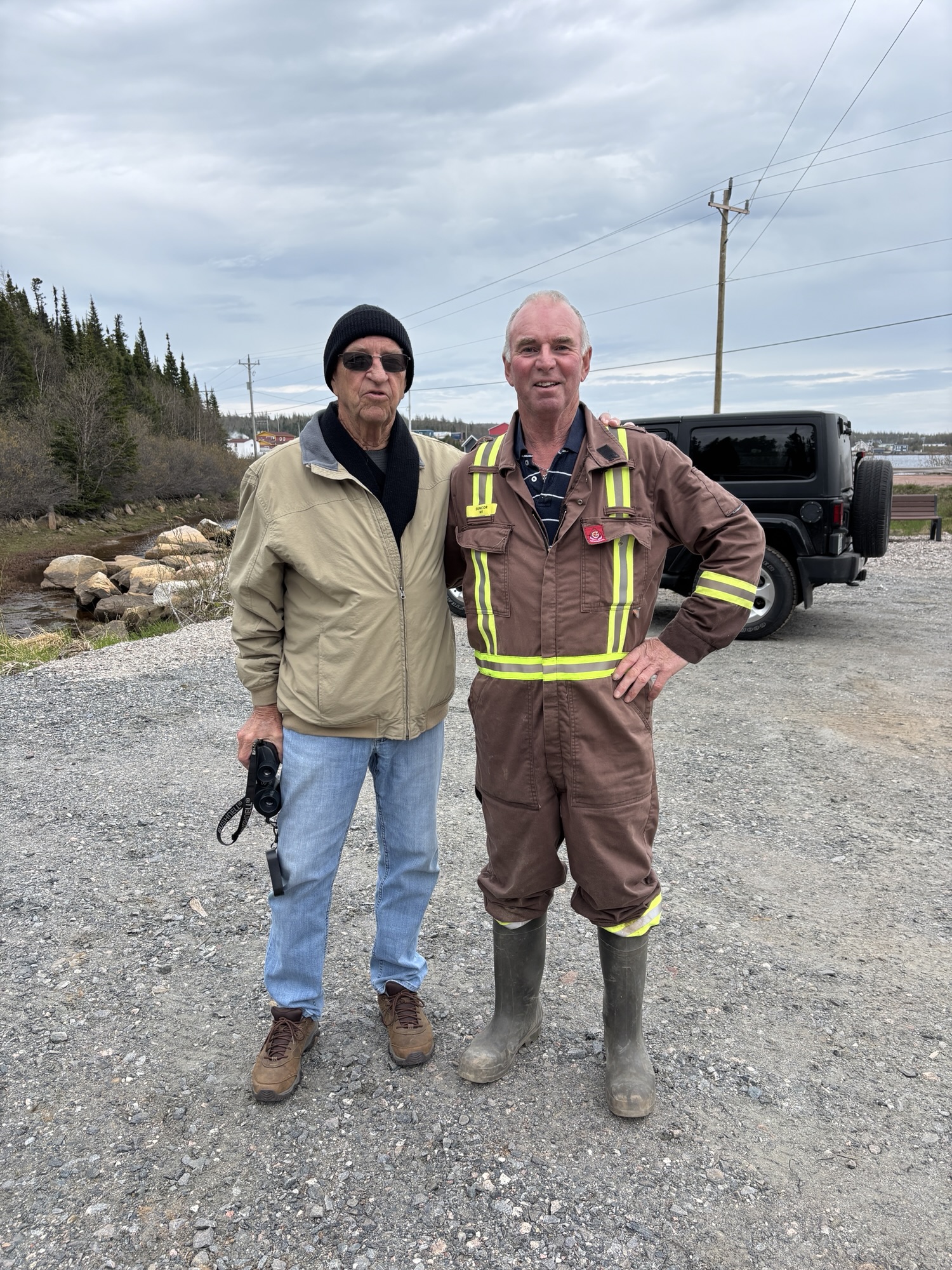
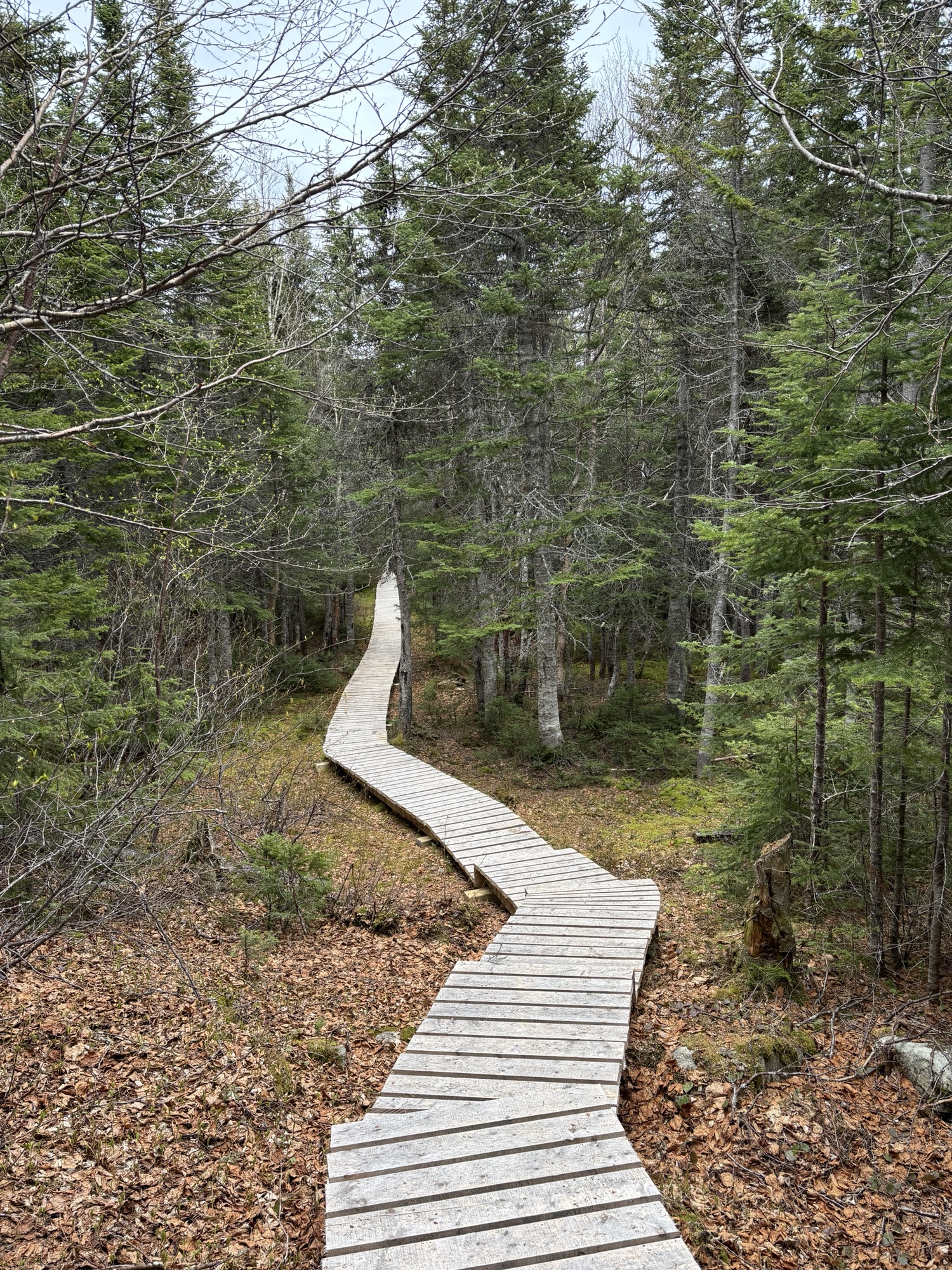
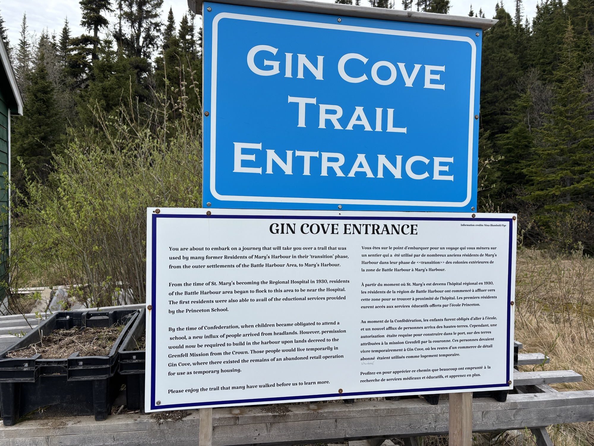
Called the Gin Cove Trail, we found the parking lot and got ready. In the lot, there was work being done to clear the ground for several garden plots. A man overseeing the project came by to say “Hi” and we discussed the plots and the usage, etc. We talked a little about out trip and meeting the Mayor in Red Bay and he replied, “I’m the Mayor of Mary’s Harbour”! It is so interesting to meet two Mayors in two days! (And our 4th for the trip!)
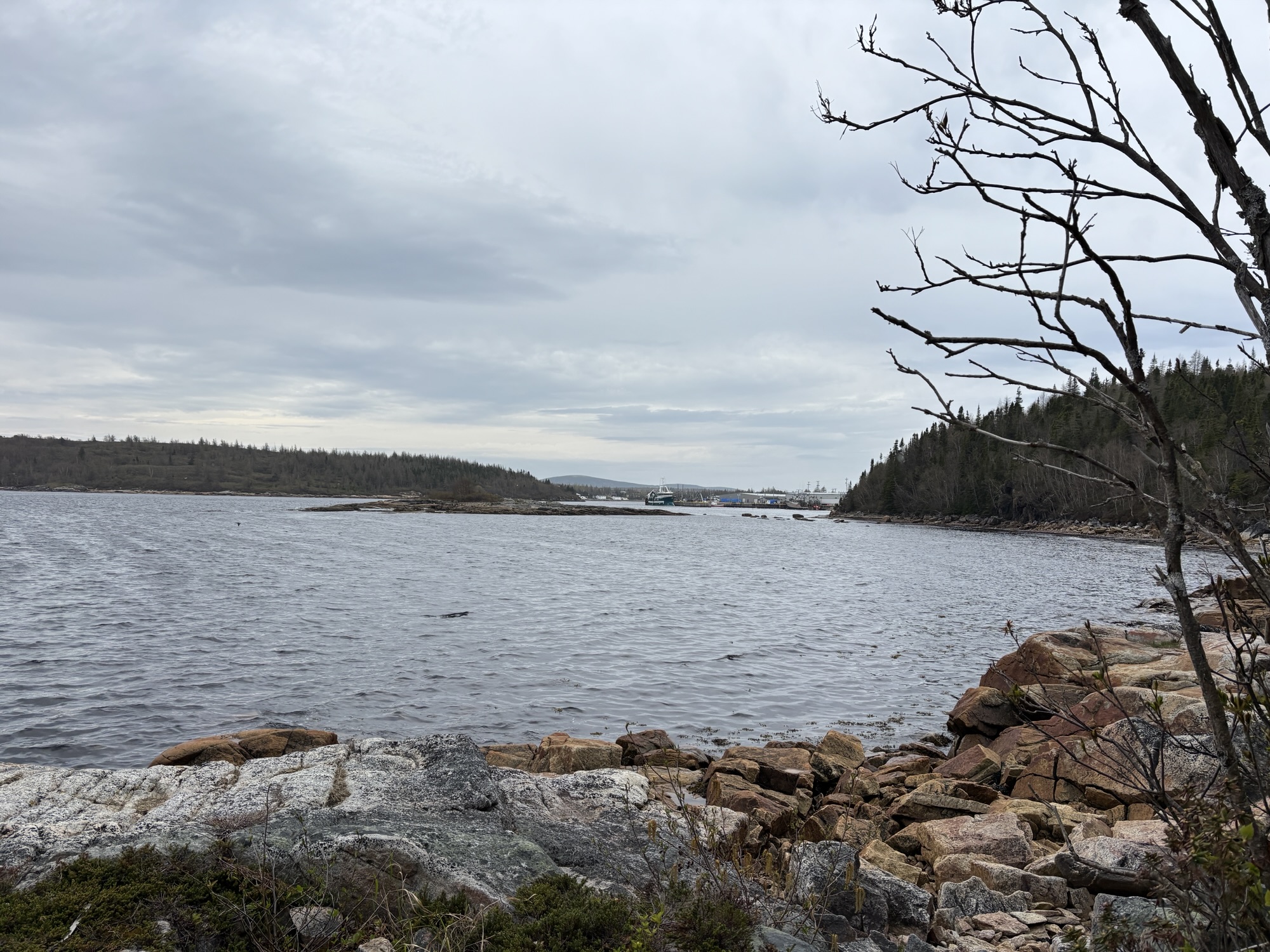
The hike was straight up some very nice stairs to an observation gazebo at the top. Then straight down more stairs and a board walk to the cove. History was that this had been a small village, but nothing remained. After a few minutes and a few photos, and as it was starting to drizzle, we headed back up and back down to the Jeep! As we were leaving, it began to rain more in earnest! And the Mayor was gone, so we didn’t get to say goodbye.
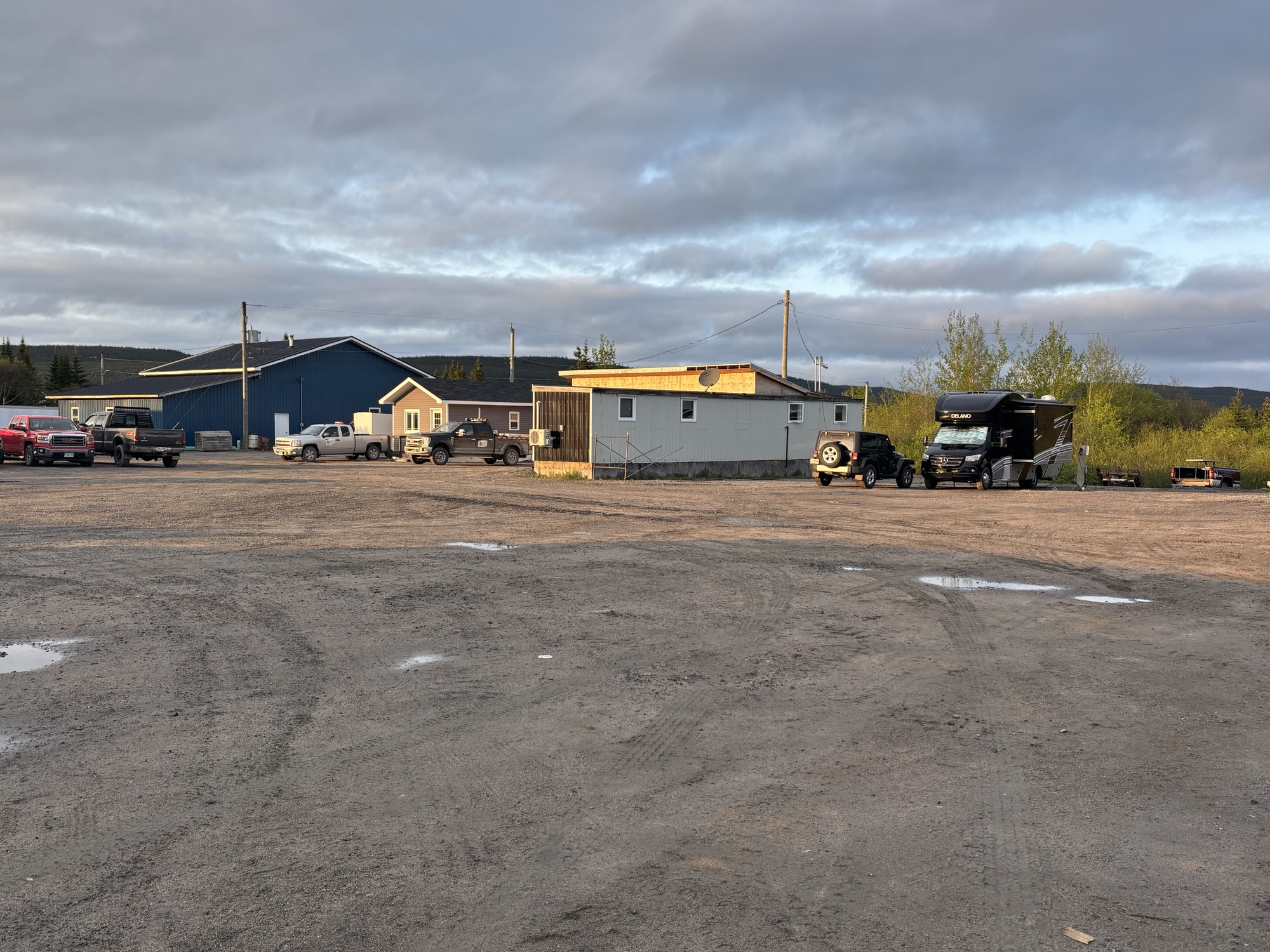
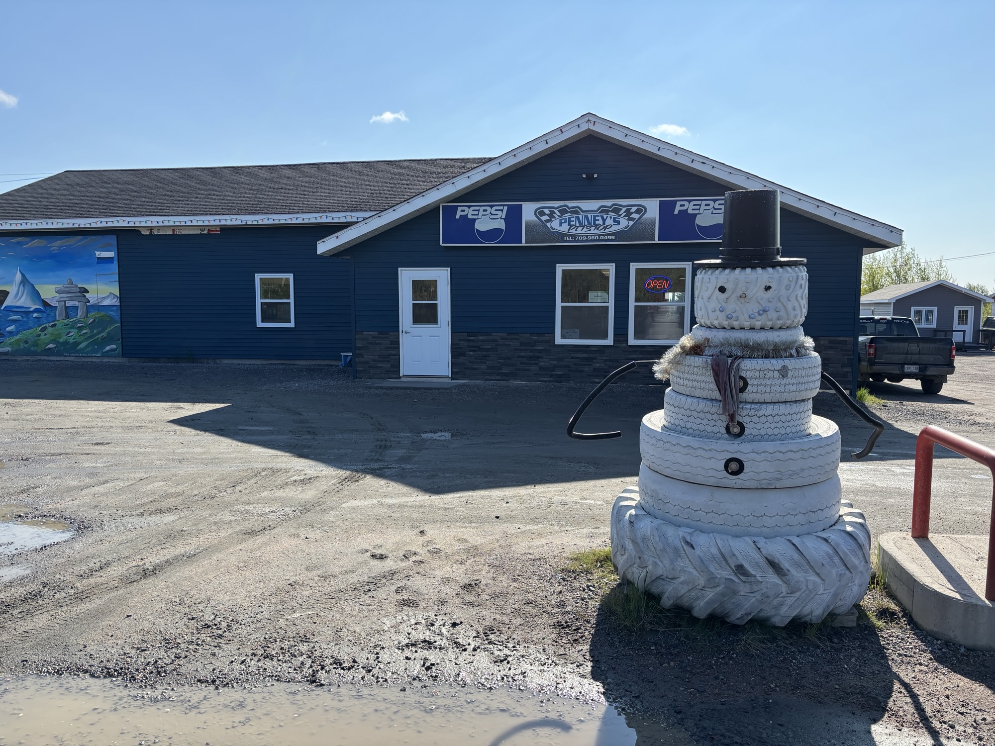
Back to the Jeep, and in the rain, we hooked up again and headed to our next stop about 30 miles away in Port Hope Simpson. The stay was a Penny’s PitStop right on Hwy 510. Penny’s is the first gas station you come to as you enter the town. Convenience store, hotel, truck parking and RV hookups. Power, non-potable water, and pump out is extra $10. Plus, the diesel was $5.55/gallon! We couldn’t get the power to connect. It showed reverse polarity on the surge protector. So, their tech threw a 100’ extension cord over one of the cabins and we were good to go!
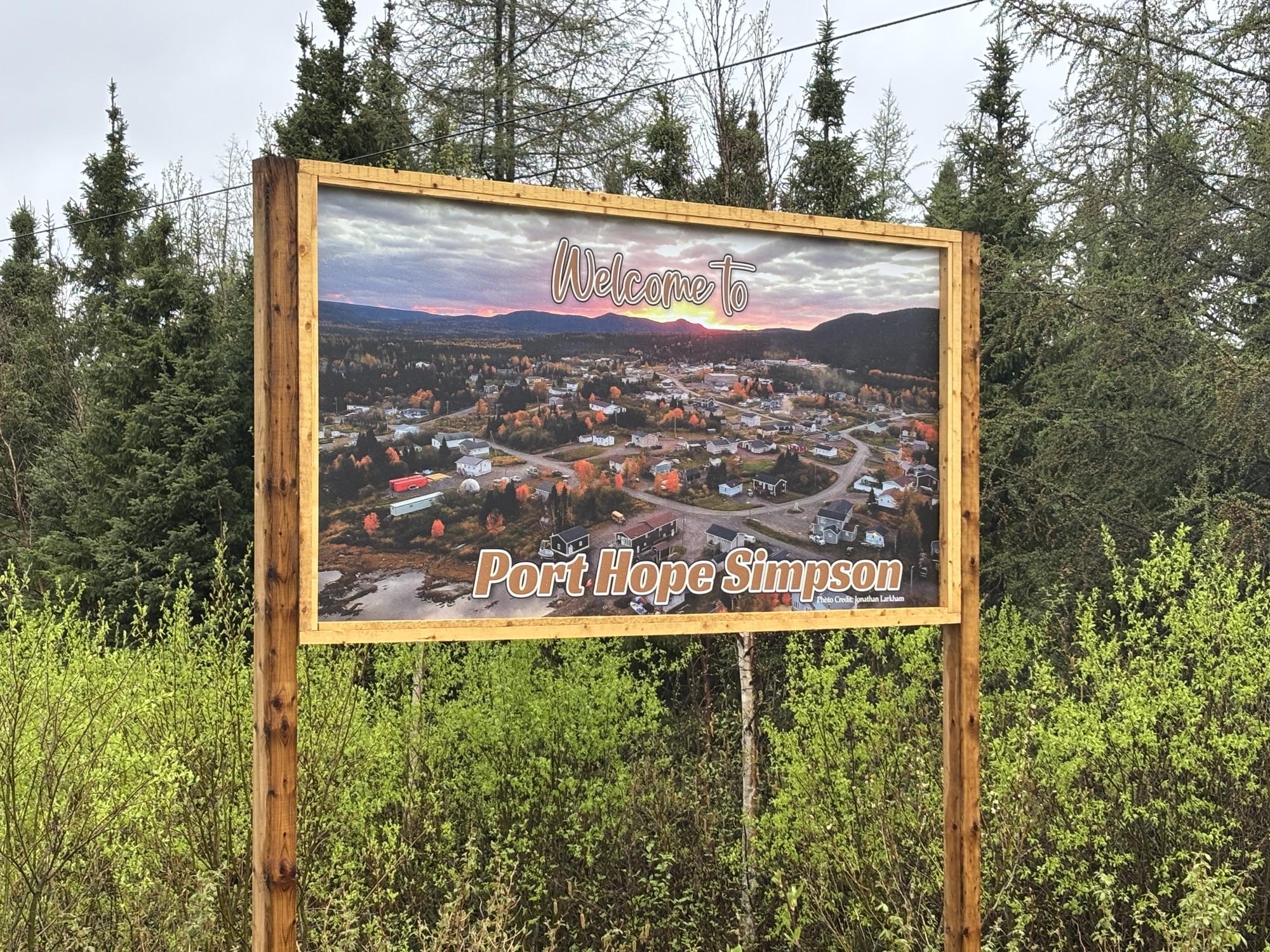
Port Hope Simpson was not a major stop or even a minor one. But we had agreed to check the sat phone in and then re-check it again to be “legal”. The Alexis Hotel was the stop, and we got the receptionist to agree to the deal. We drove around town and then settled in for the night as the only RV in the lot!
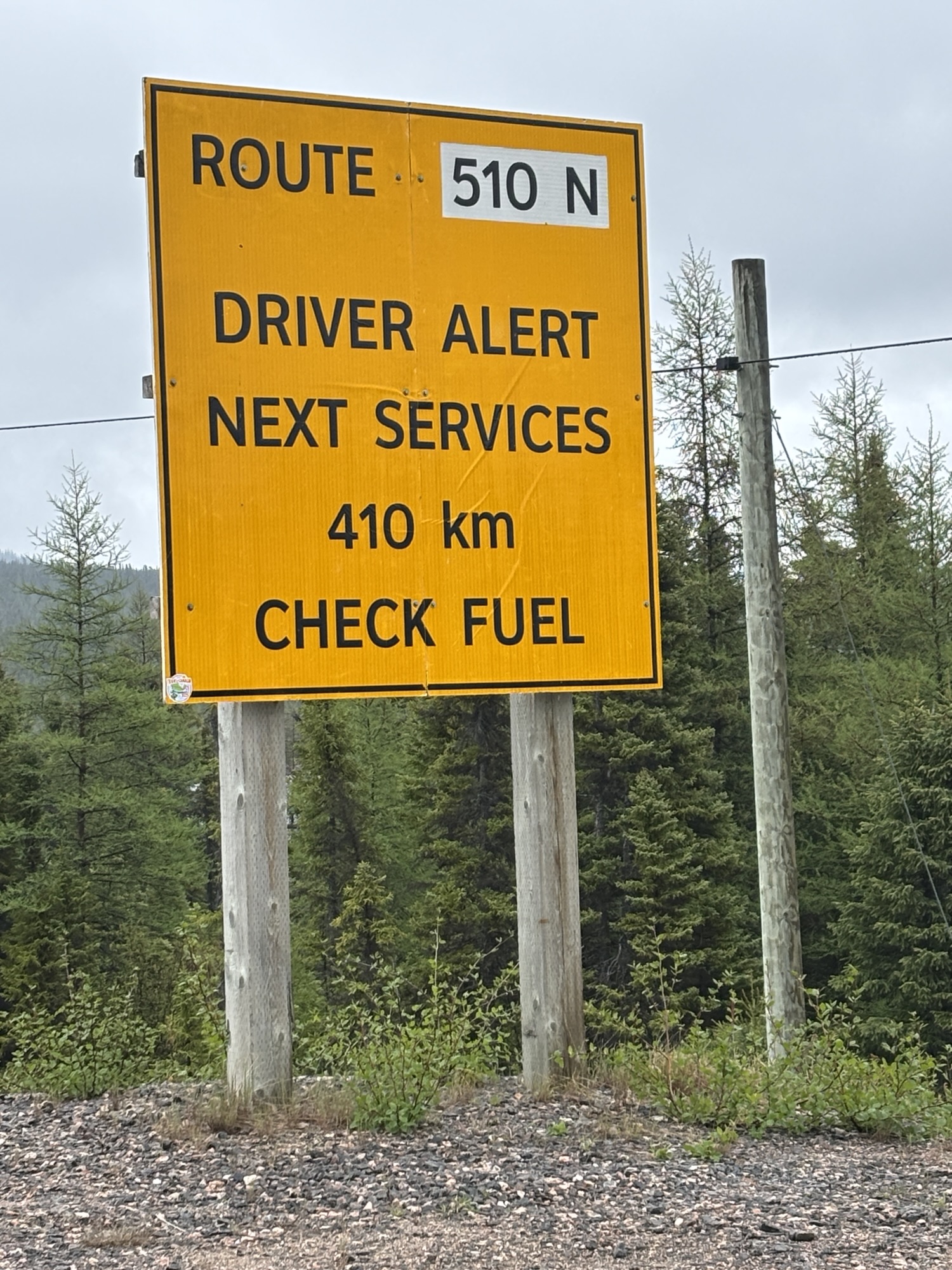
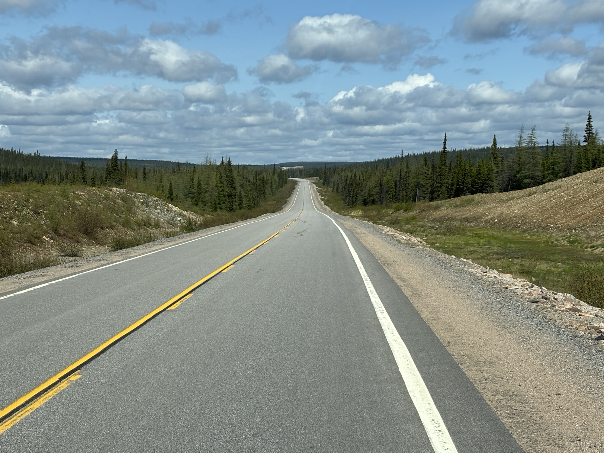
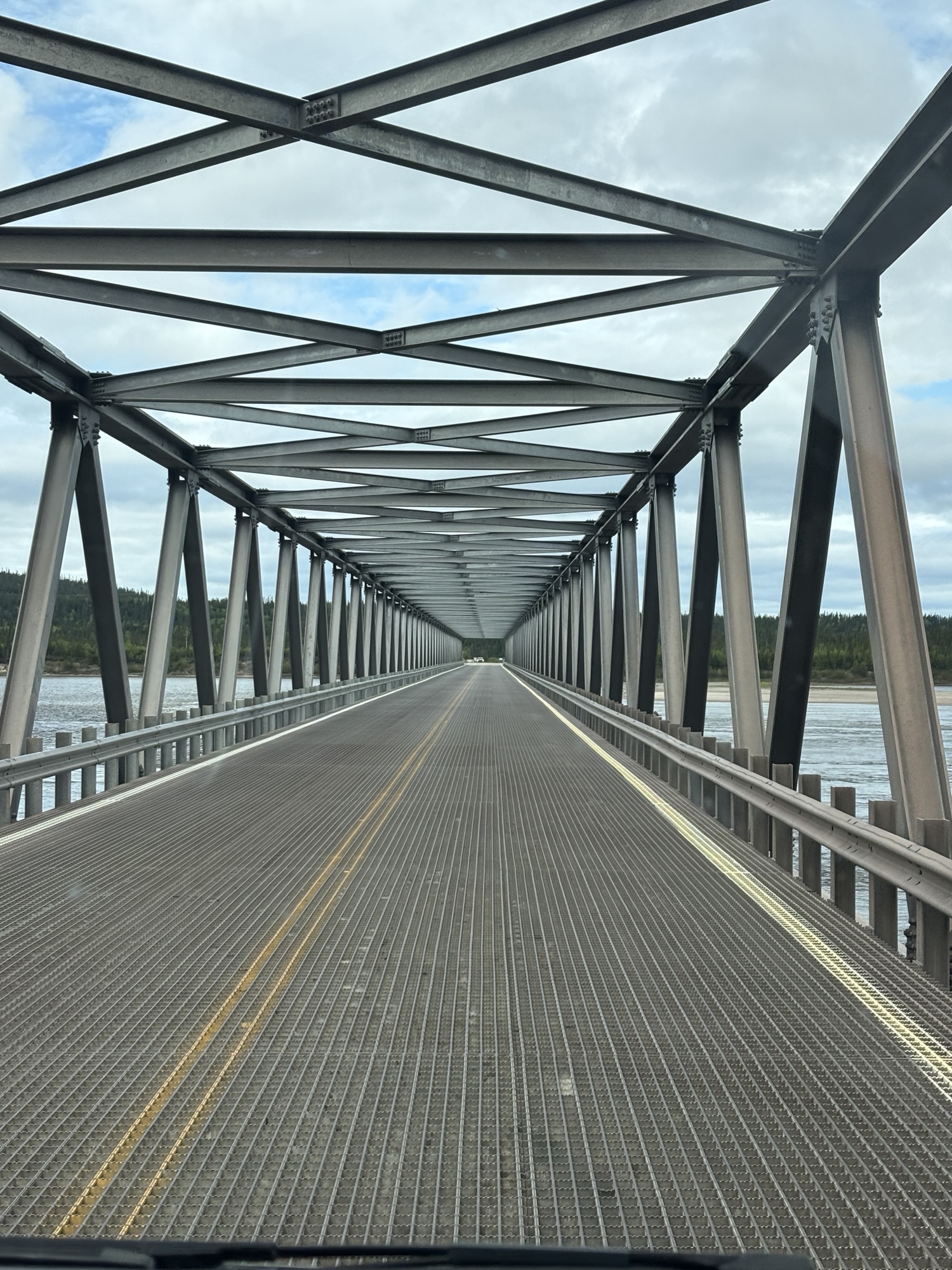
The next day was the long drive to Goose Bay/Happy Valley. The road paving was recently completed all the way covering about 240 miles. There is nothing in between. No gas, no toilets, no traffic. There are a few pullouts that I guess the work crews used during the construction. But basically, you are on your own with no cell service whatsoever. Hence, the sat phone loaner. It is not usable except to call the Royal Canadian Mounted Police in case of an emergency. Along the way we did see a truck in the ditch and thought about using it, but realized the truck had been there for some time.
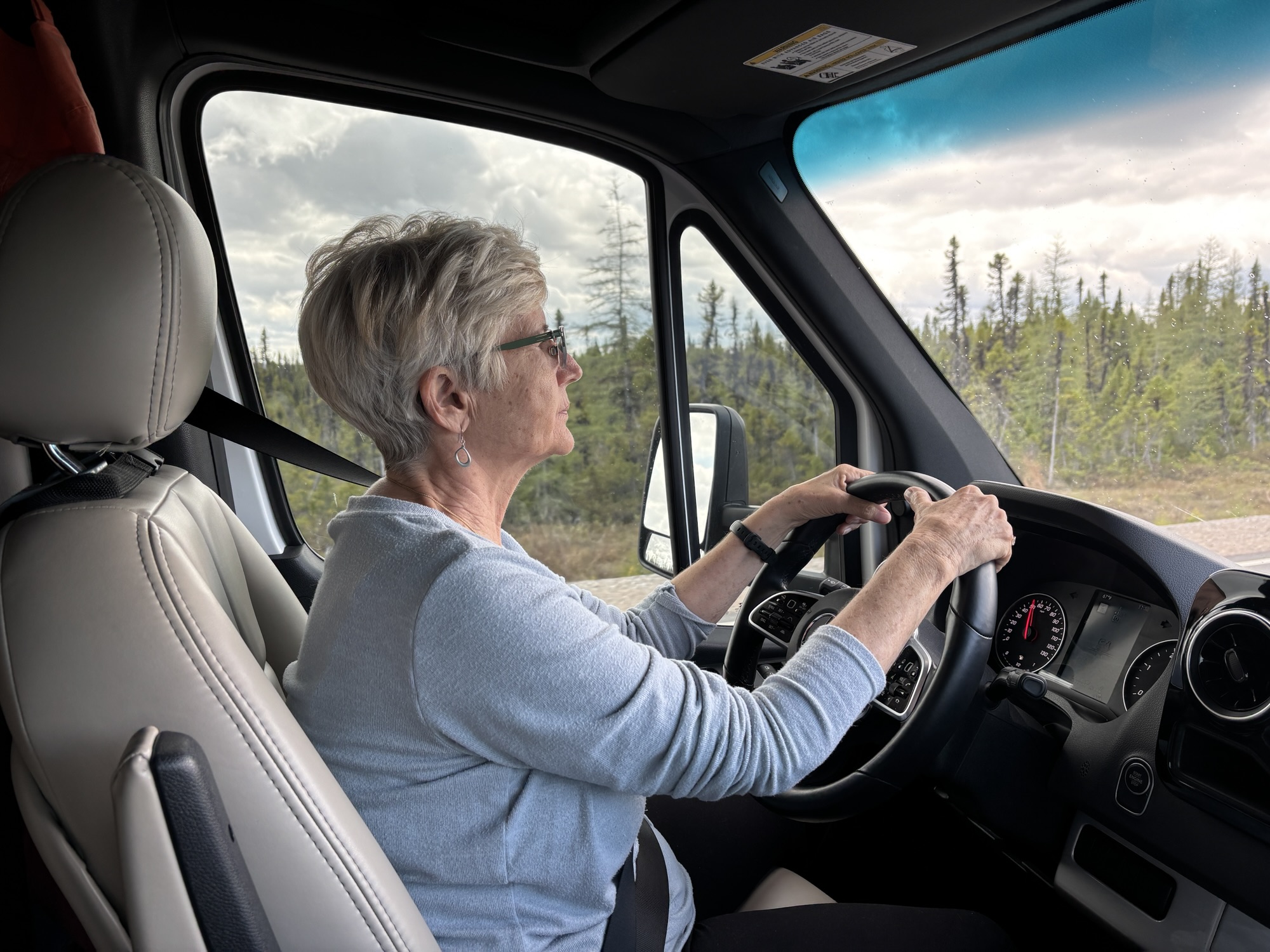
Anyway, we took off and had no problems. The road was one of the best we had driven in weeks! No potholes, no bumps, no gravel, nothing! Smooth for 240 miles. Lot’s of scenic vistas and stops. Gail took the helm of “The Boat” for over an hour and handled the hills and curves like a pro! The road was straight for miles at times and passed through only “trees, rocks, and water” as one RVer we met called it. The traffic was light. We counted 5 vehicles that passed us going west in 240 miles. We guessed over 30 or so going east and that was actually more than we had expected.

Anyway, after about 6 hours, we got to Goose Bay Happy Valley or GBHV as they call it and found our campground and settled in after a long day.
I am going to separate this blog into 3 parts instead of just 1 as it had more good stuff than I expected. So, bye for now and check back for part 2!
