
From Jackson, WY there are basically two ways to get to Idaho. You can take the southern lower elevation route on Hwy 26 to Alpine and then north again to Swan Valley. Or you can take the more direct route on Idaho 31 across the Teton Pass to Victor then south to Swan Valley. (This is the route that the commuters take but, in the morning, they would be coming east, and we would be going west!) Of course, we are the adventurers so let’s go over the pass! It’s shorter and closer to the RV park. And more exciting even with the RV and towing the Jeep.
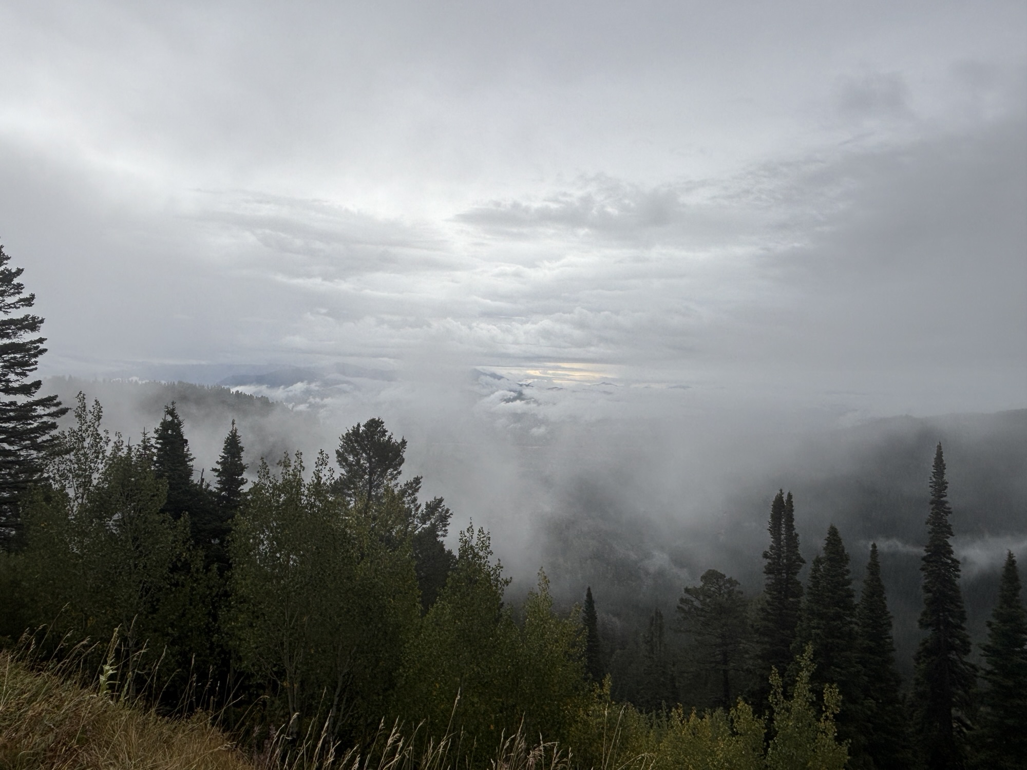
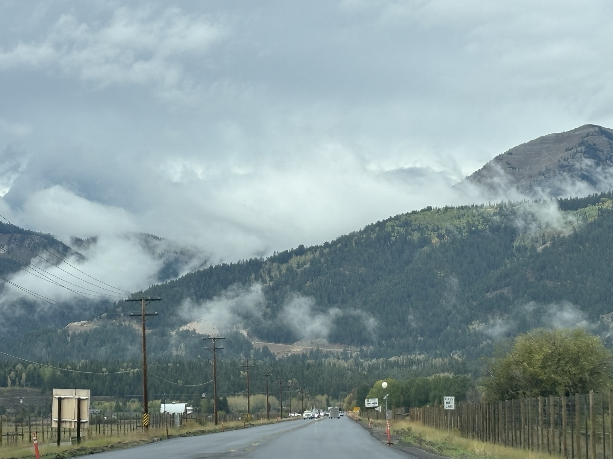
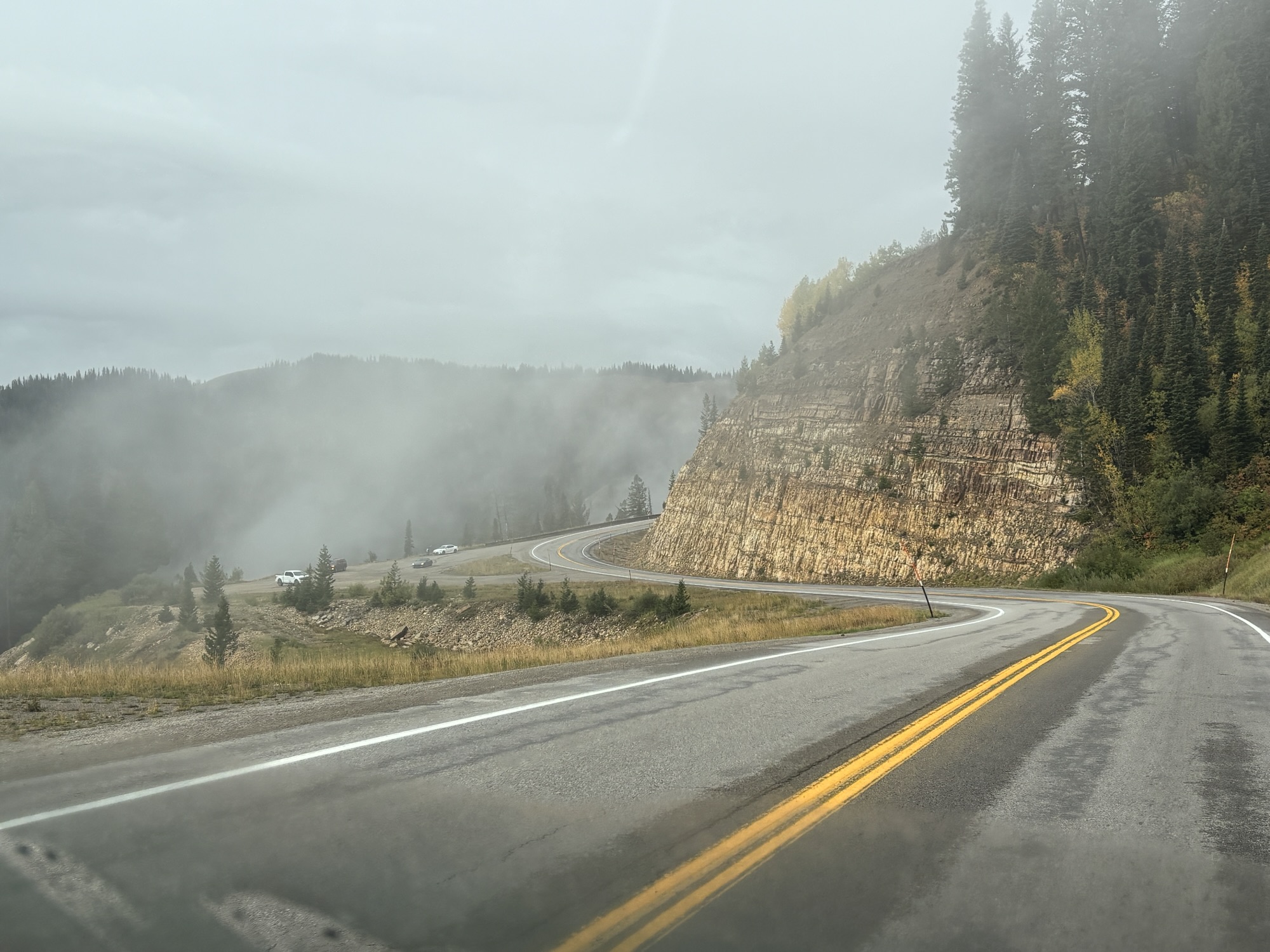
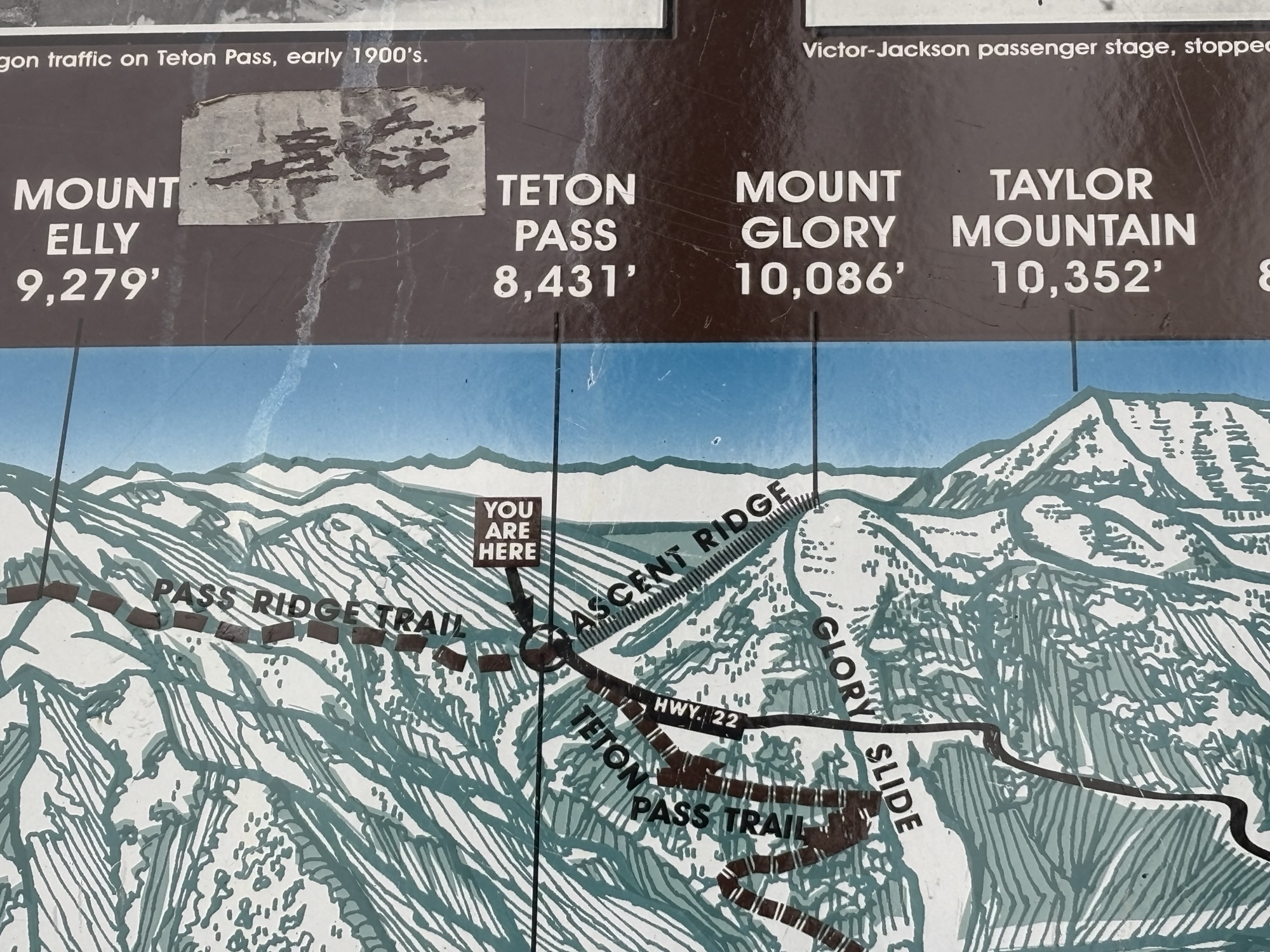
We hooked up and headed out into a light drizzle. The clouds were lower than the mountains and there was a beautiful view as we almost immediately started up. The road was at about a 10% incline, and we were going slow but stayed over in the passing lane. We did stop a few times to take in the sight and again at the summit! The signs showed 8451 ft elevation.
Then with the same 10% decline on the other side, we stopped a couple of times to let the brakes cool off. But we did it! I checked the elevations at the top and the bottom and determined that we had come down about 1800 ft in a very short distance!
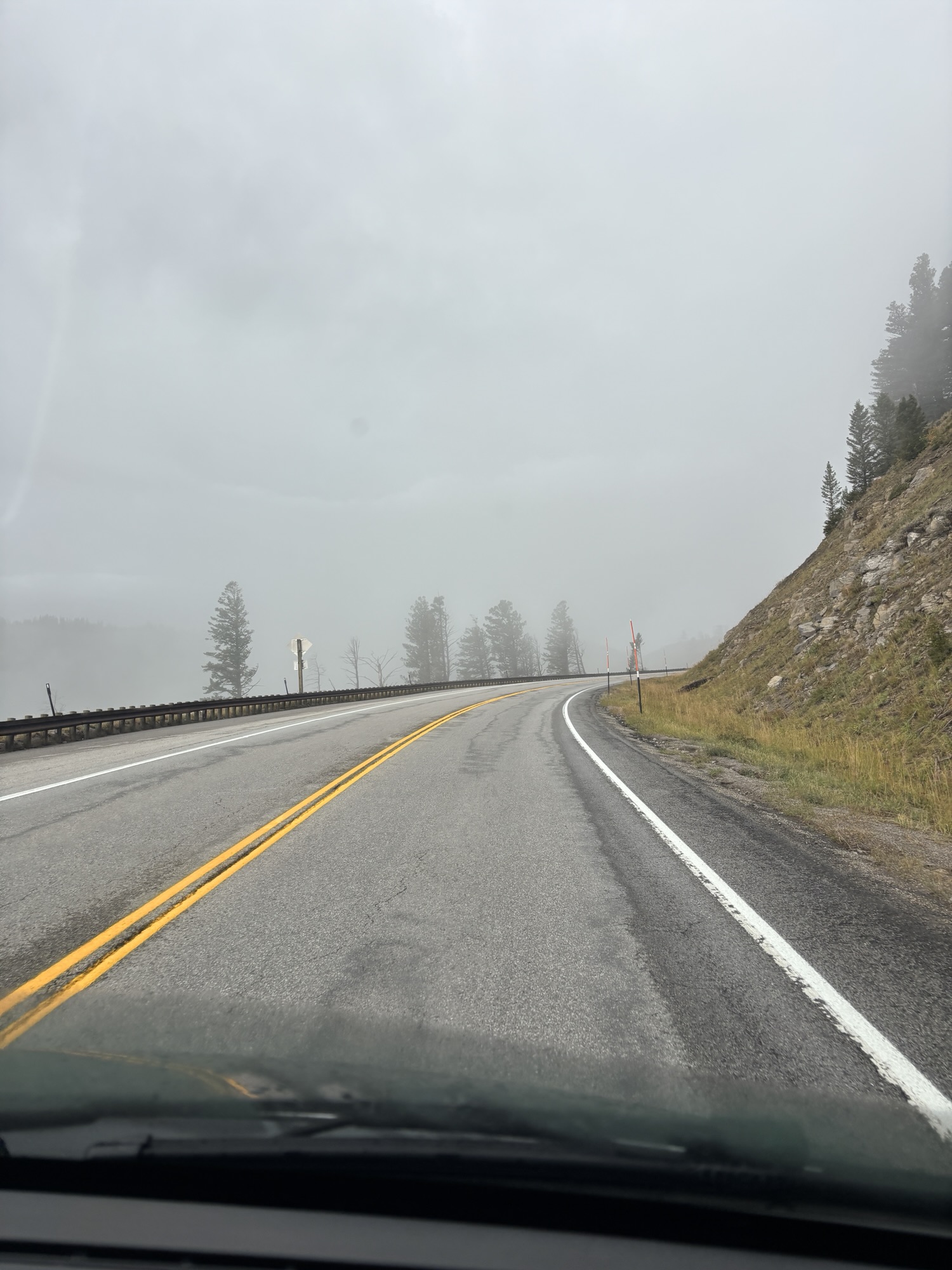
Within 7 miles past Victor, we had another pass to cross. In the Caribou-Targhee National Forest, you have Pine Creek Pass at about 7550 ft. At the summit, there are roads into camping grounds and hiking trails in the park. But we kept on trucking!
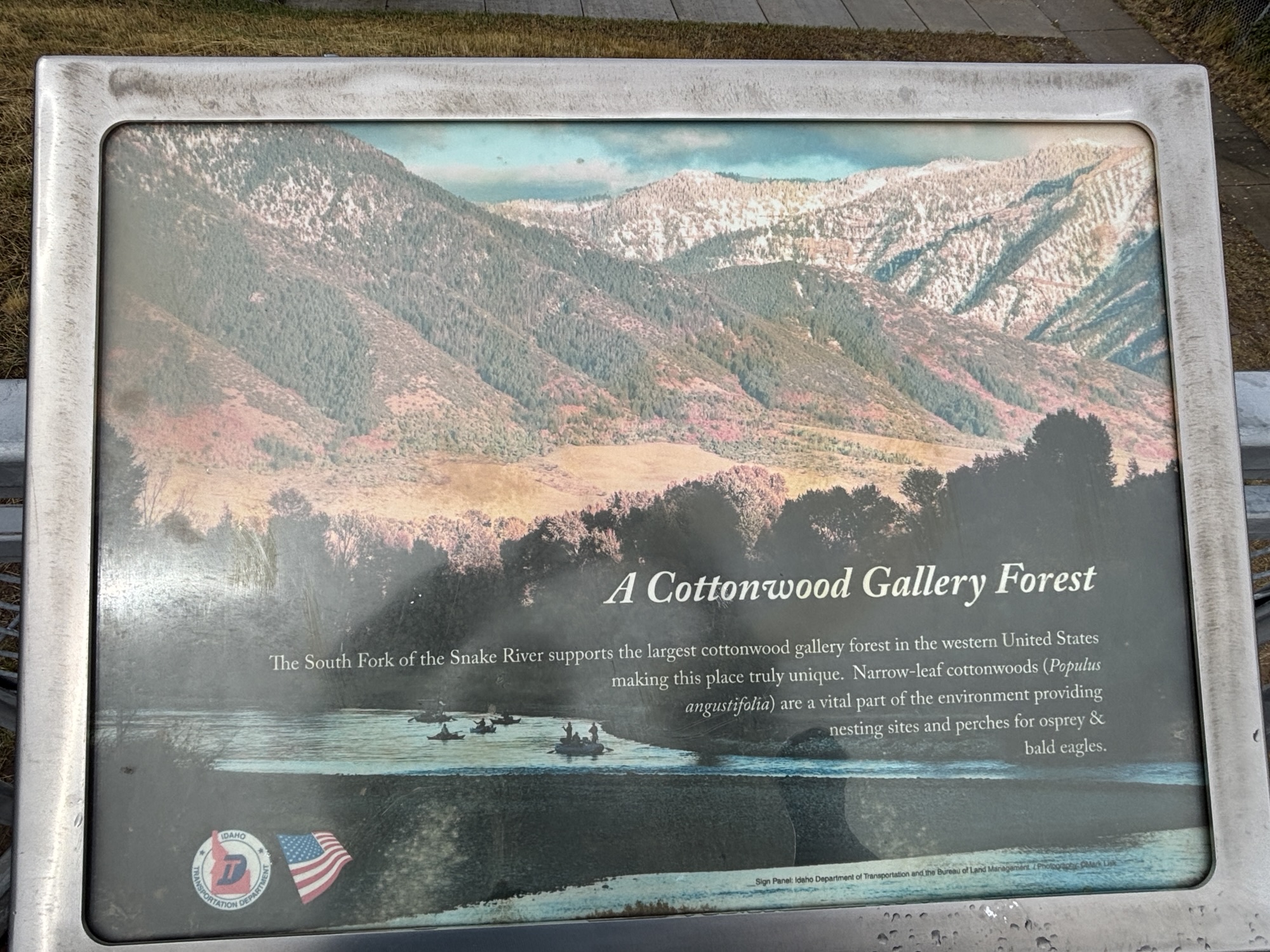
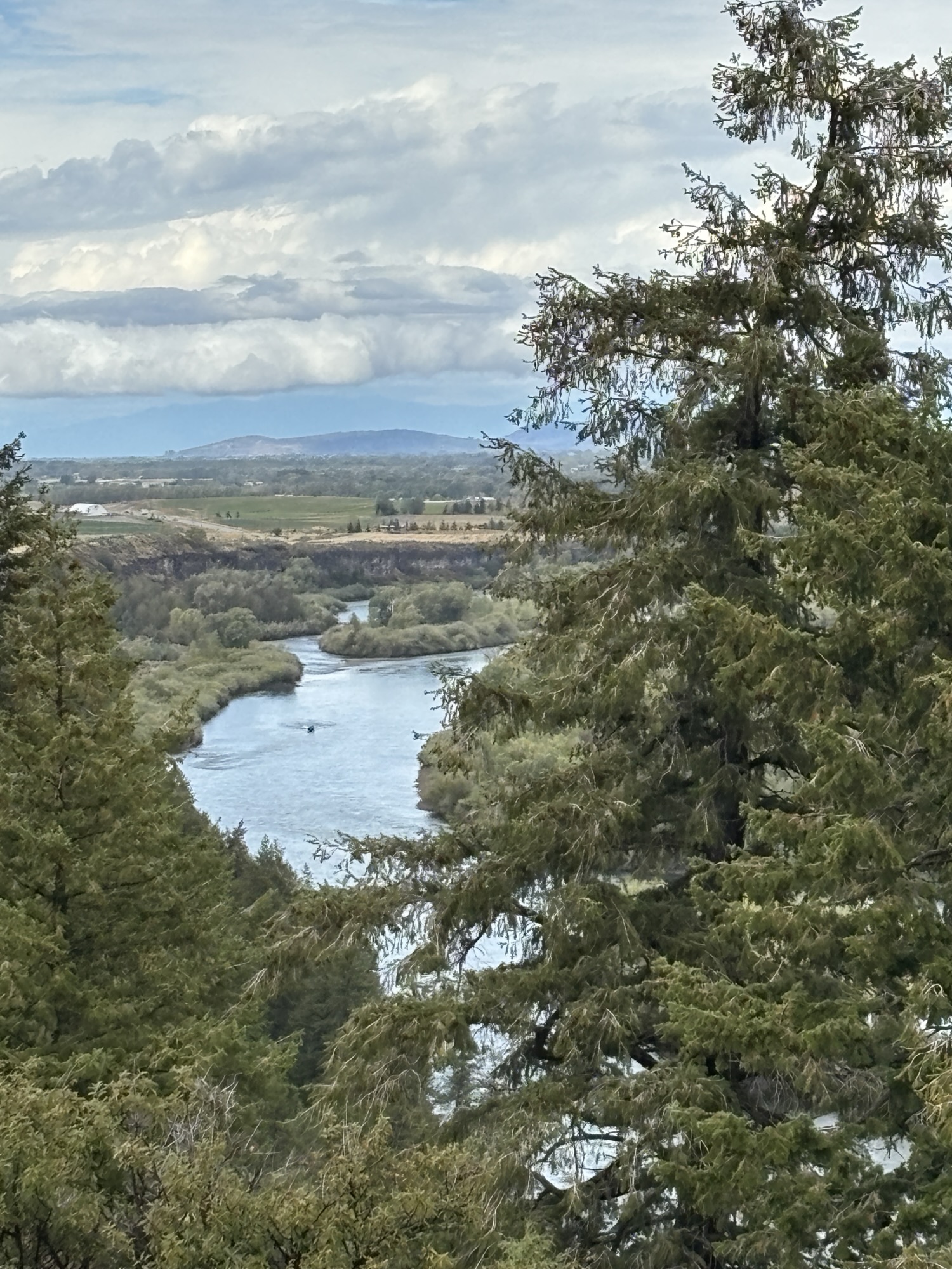
We were following the Snake River again but now into the prairies and farmlands. There was an interesting turnout at the Cottonwood Gallery Forest on the river. A sign indicated it was the largest of its kind in the western US and is home to eagles and osprey.
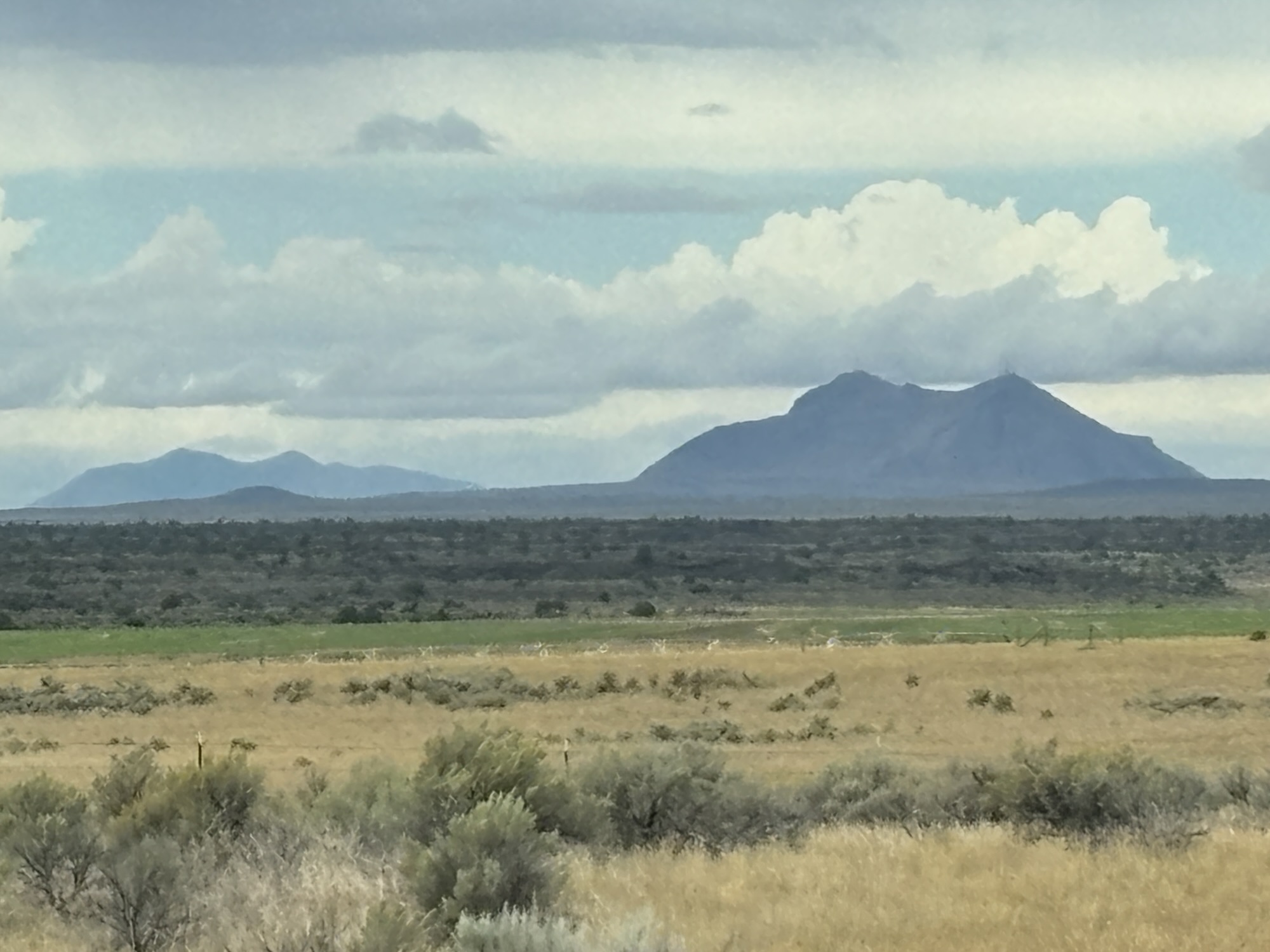
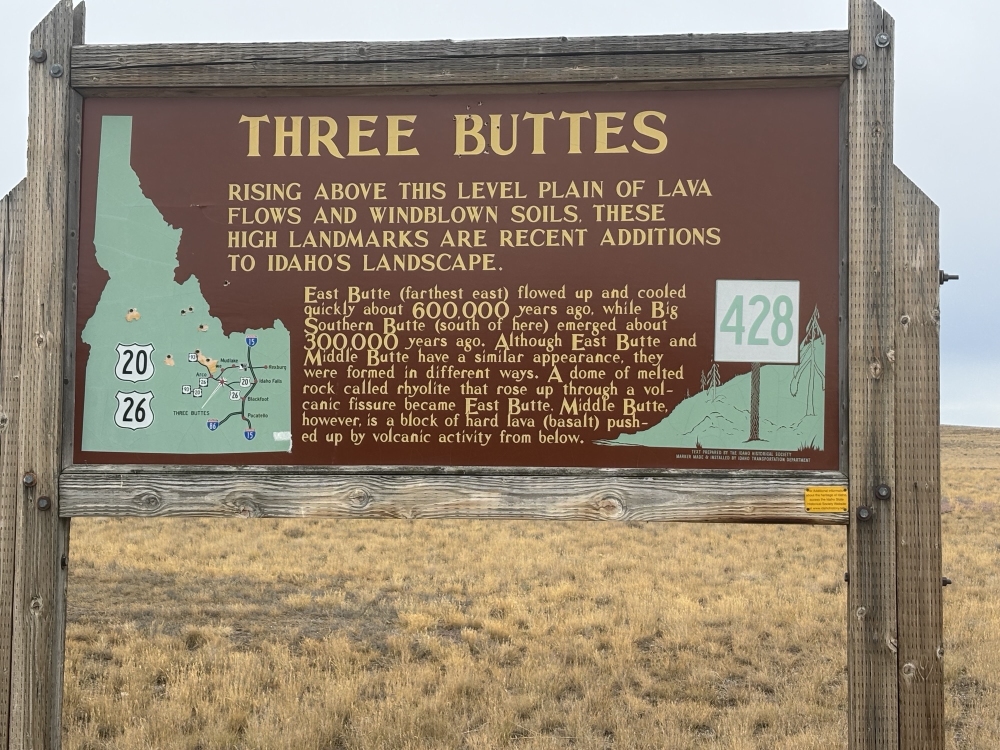
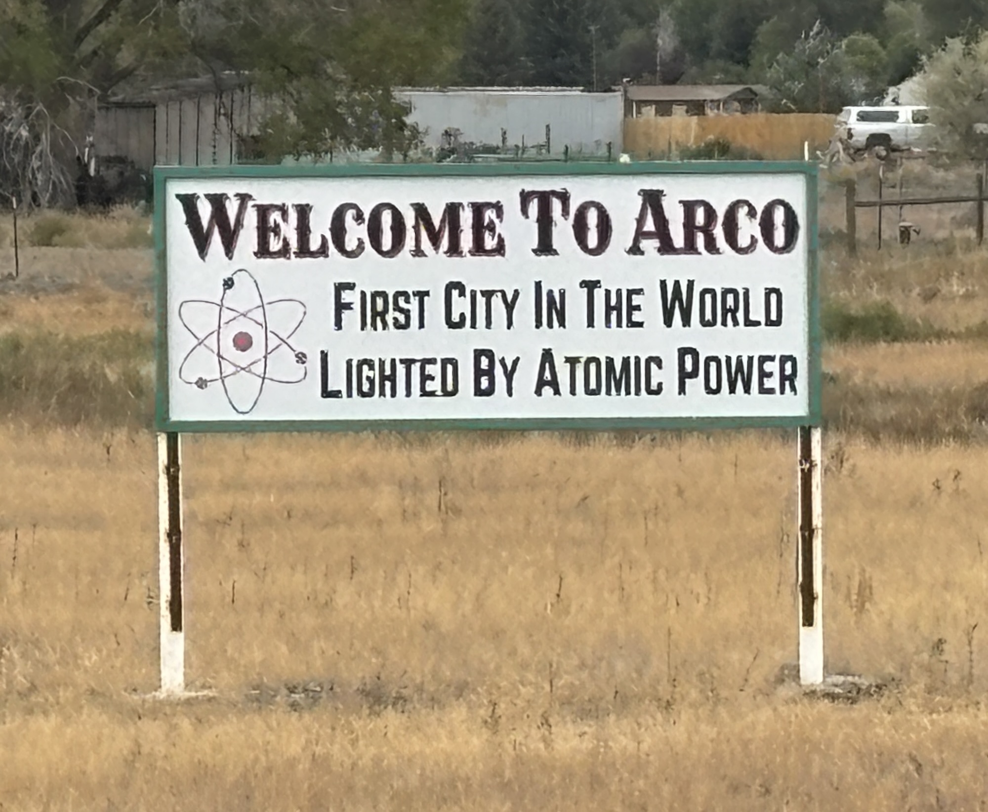
The next town was Idaho Falls, but we had other stops planned so we continued west on Hwy 20 to Arco, ID and The Craters of the Moon National Monument and Preserve. This is where our geology lessons come back into play. If you remember our posts from Bend, OR and near Redding, CA earlier in the spring, we saw a lot of evidence of volcanic eruptions. The geologists tell of a major fault that has moved eastward across the area and is now in Yellowstone (and still active). But it left a lot of evidence, including lava flows and craters, in its wake!
And this is what we found outside of Arco. Miles of lava fields from only about 2000 years ago! Not millions or hundreds of thousands, but you might say, recently! The national park is relatively small if you consider the entire area that is covered in the lava.
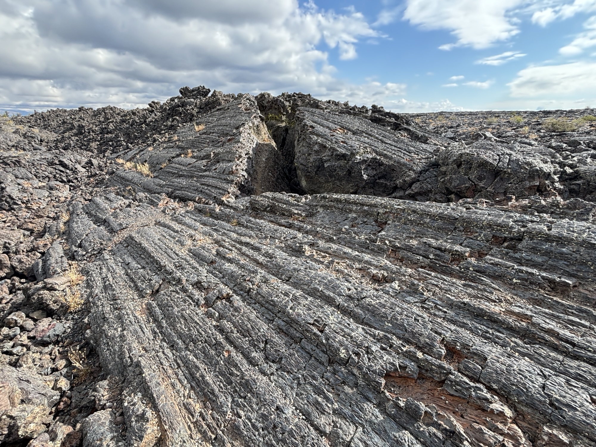
We got to the RV park and then headed to the visitor center about 20 miles from Arco. The lava fields started showing up about halfway there. Just outside the visitor center, there is a short boardwalk trail among some examples (some huge) of different kinds of lave formations. We learned about Cinder Cone fragments, more fluid looking lava called pahoehoe. It was a good start for our plans for the next day.
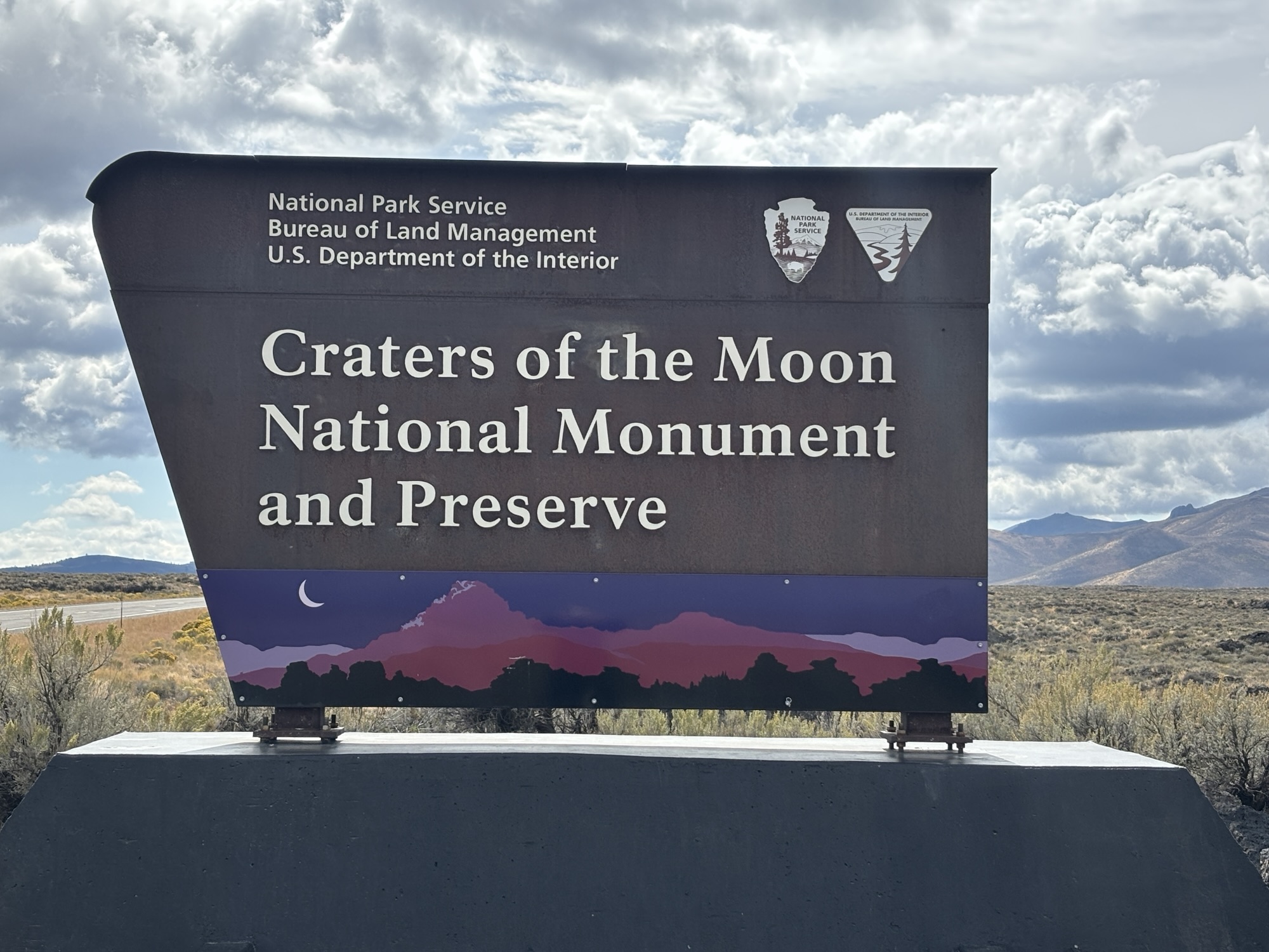
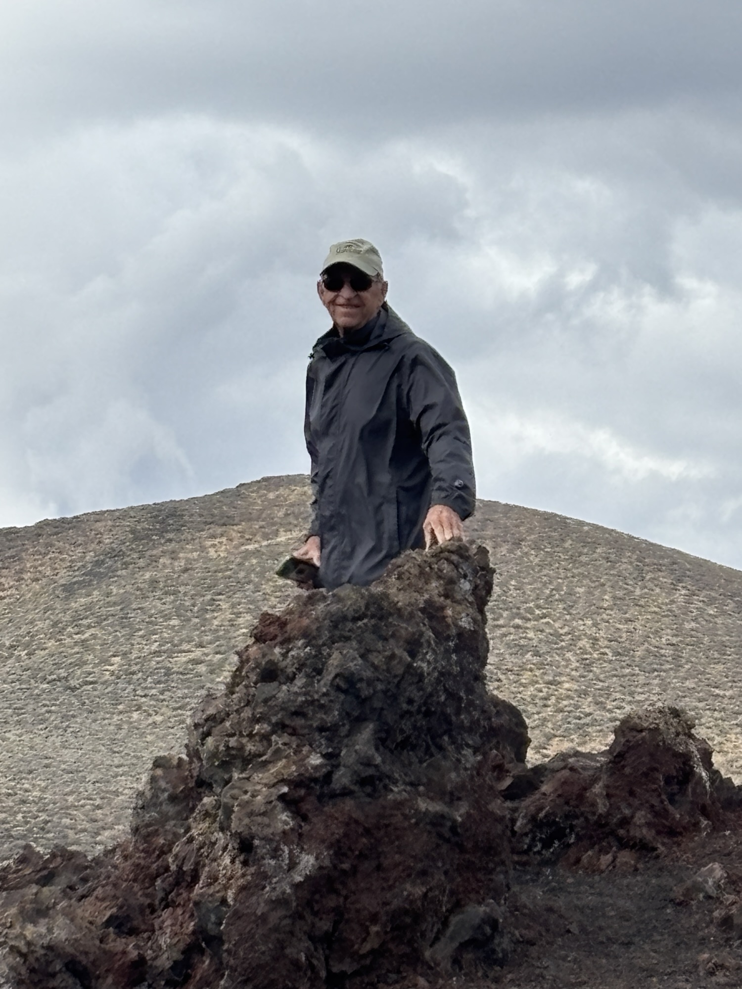
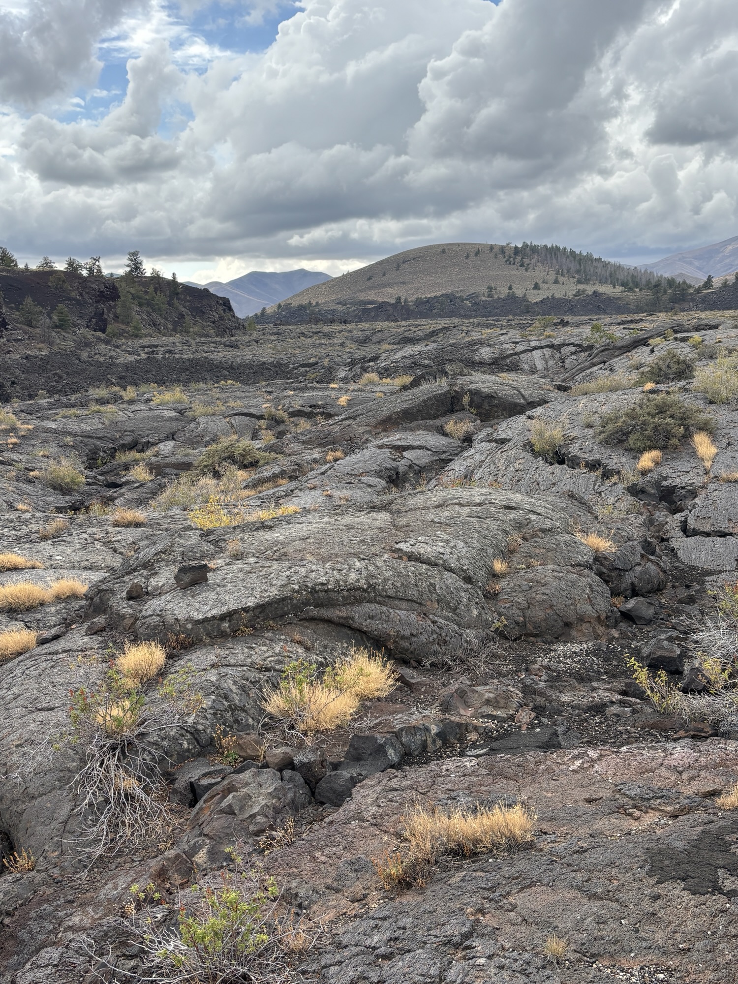
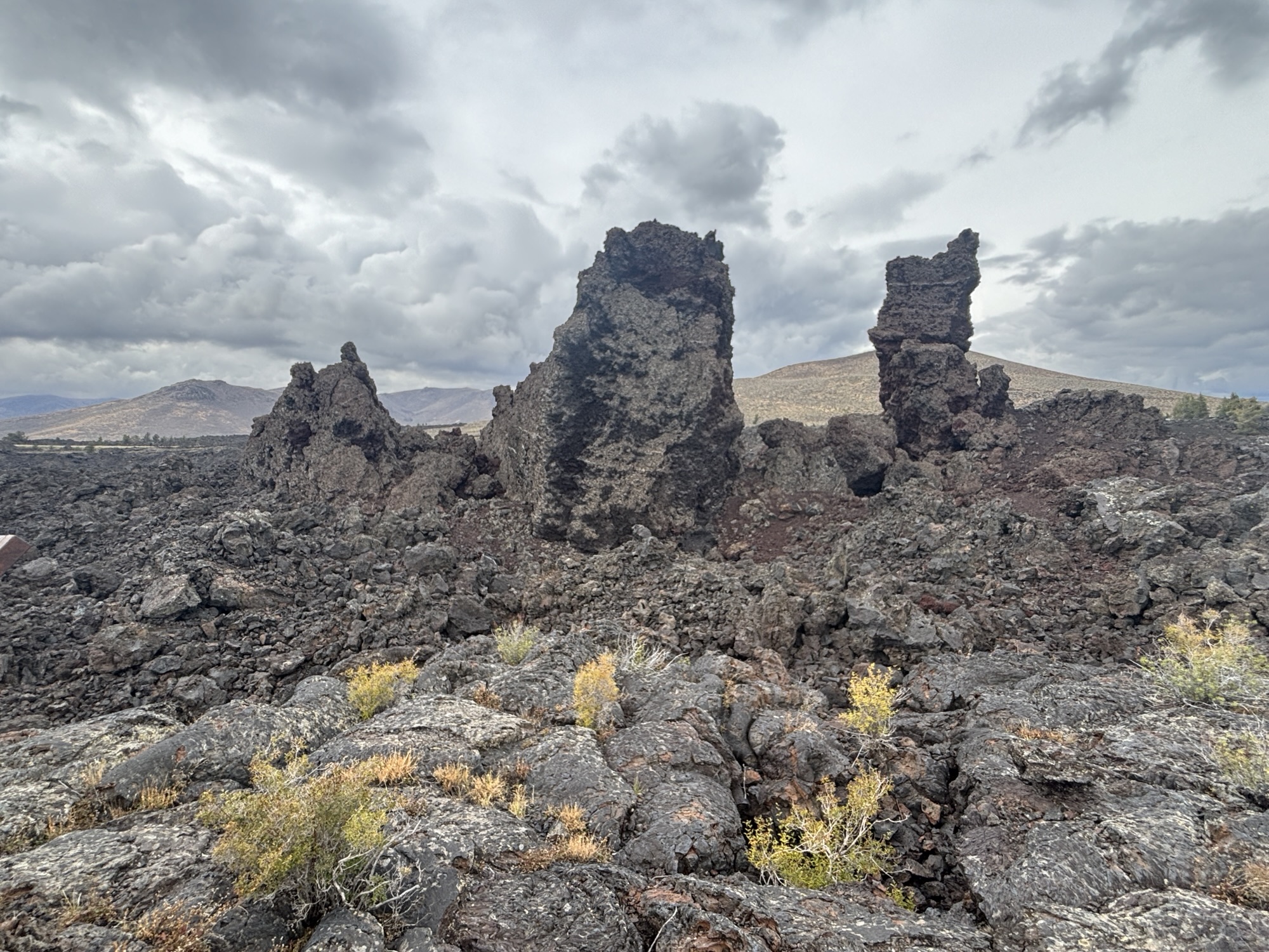
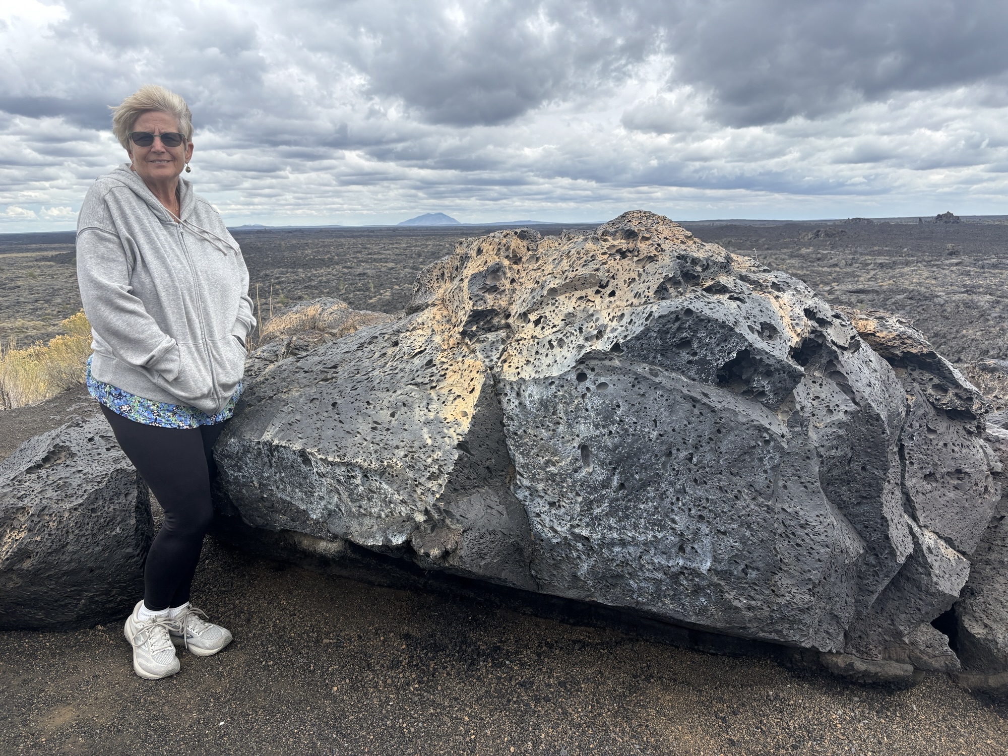
Frist thing to do the next day was get our caves entry pass. This was basically a couple of questions to make sure you had not been in other caves recently to protect the park bat population. And to make sure you were capable of the rough terrain in the caves. Then we were off to explore!
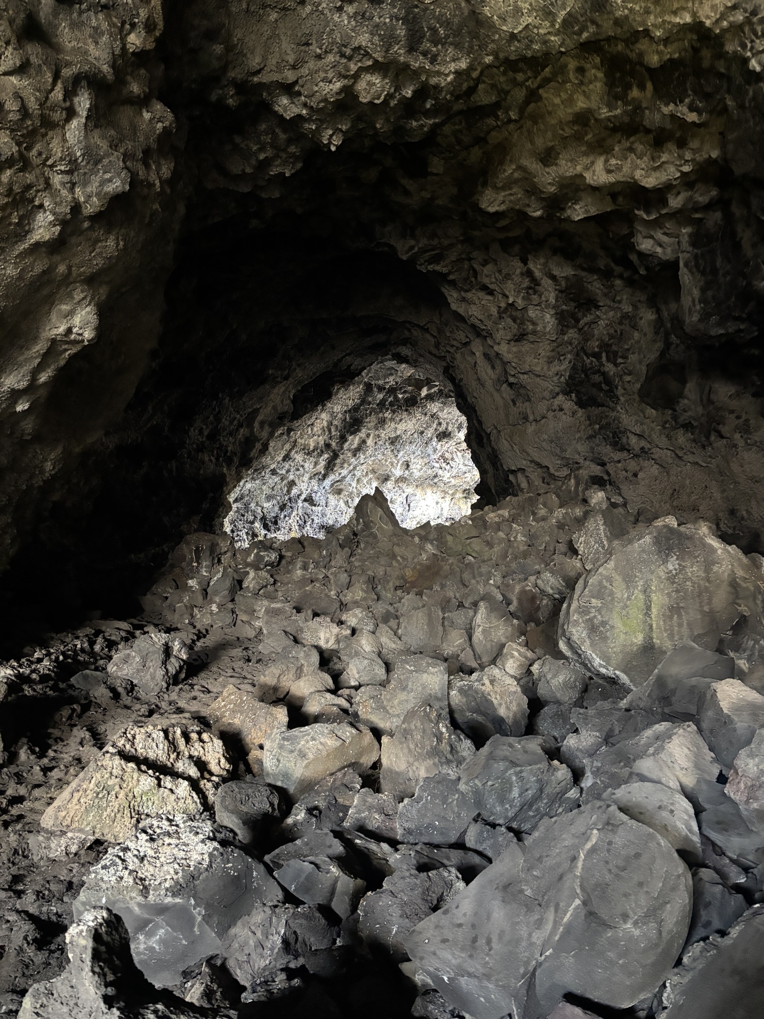
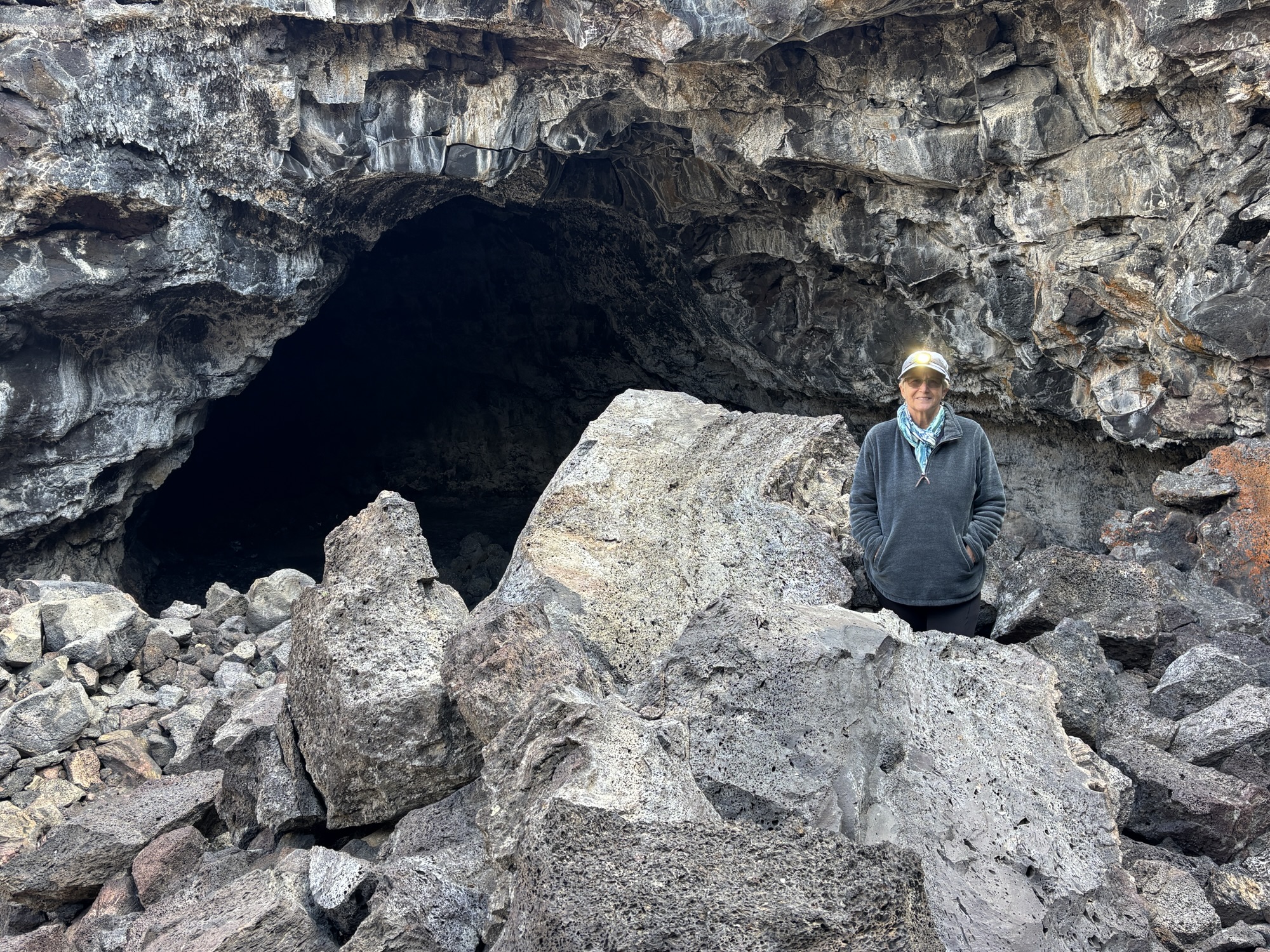
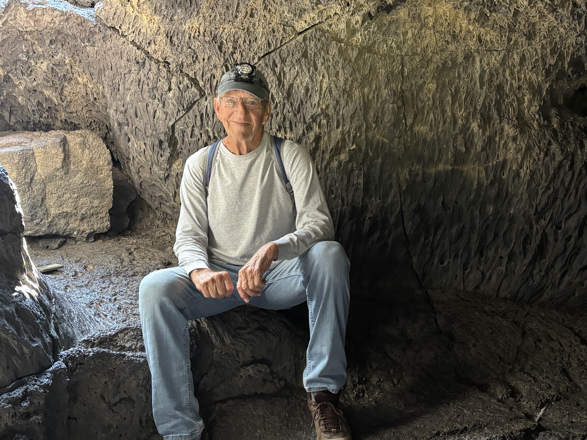
The caves area is made up of Lava Tubes. These are formed as the outer lava cools and the interior lava continues to flow out. And over the years, this leaves a cave or tunnel called the tube.
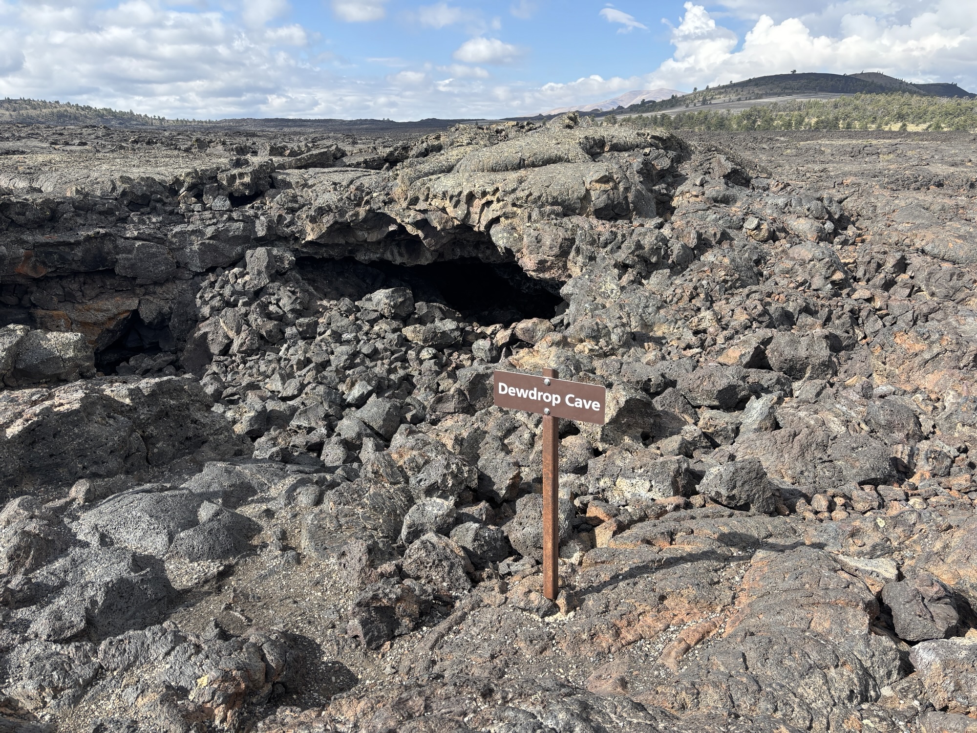
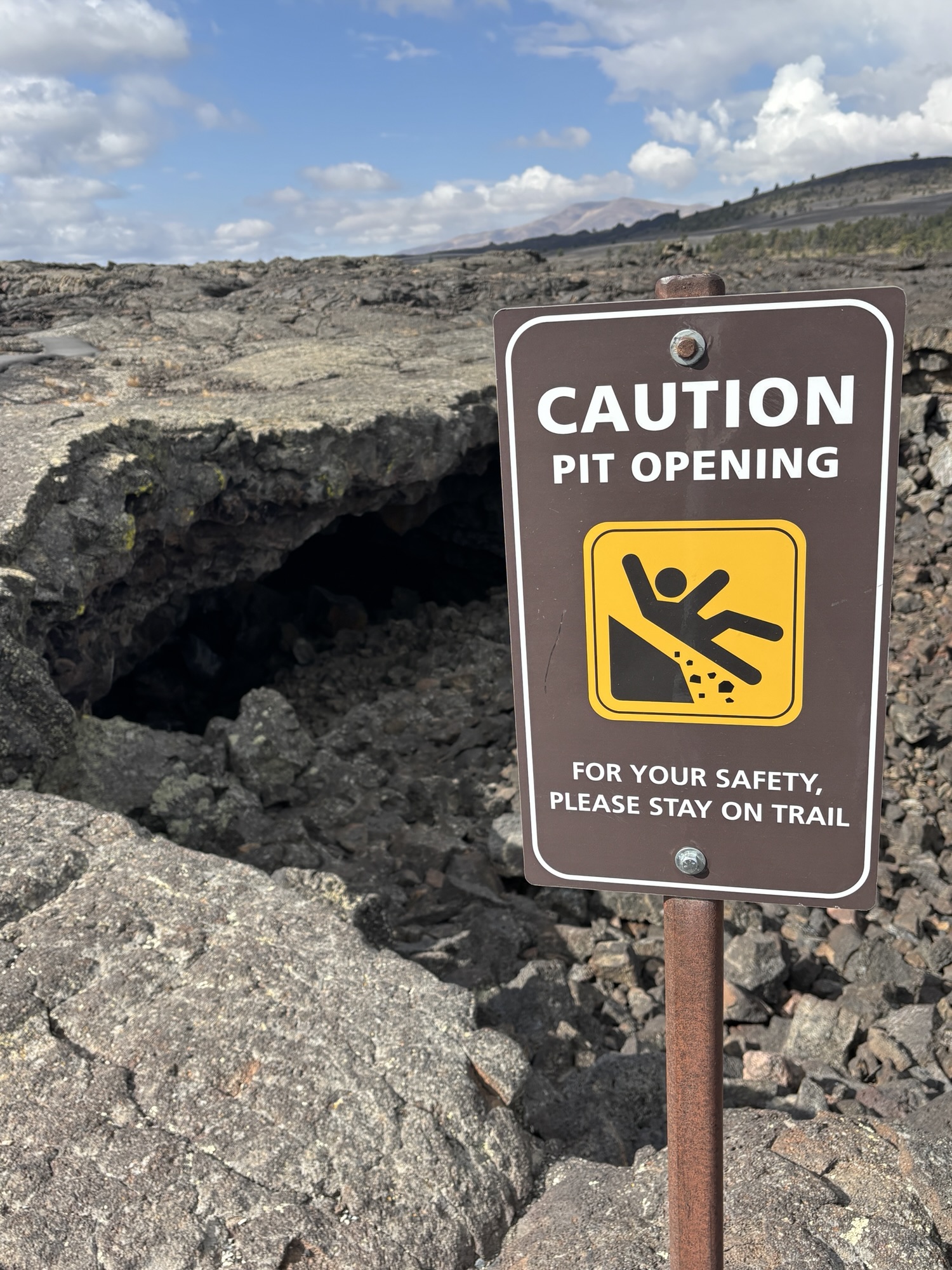
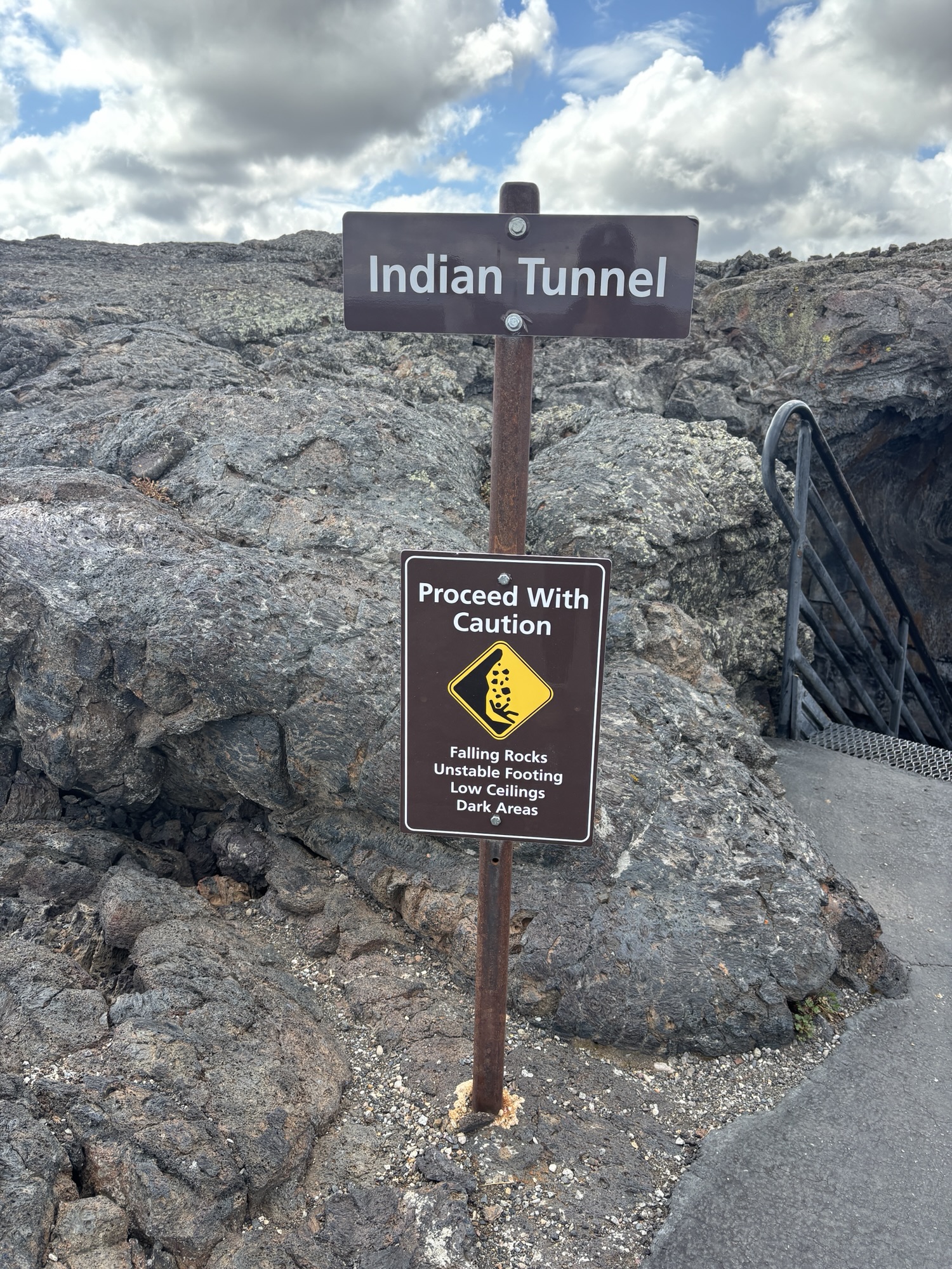
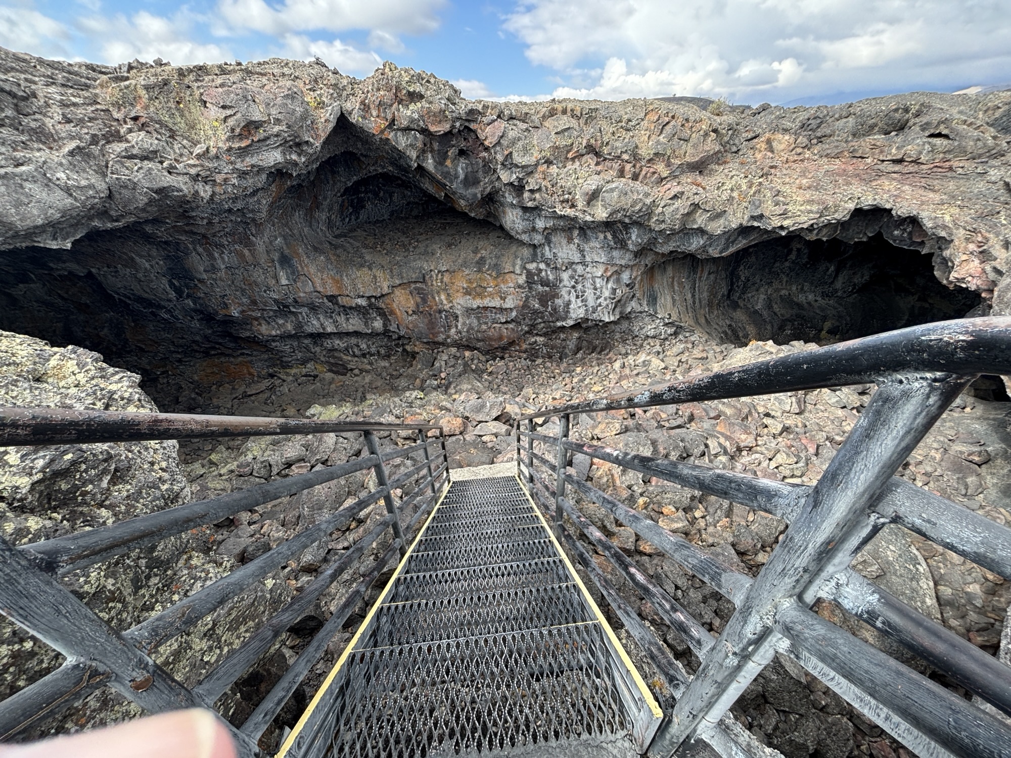
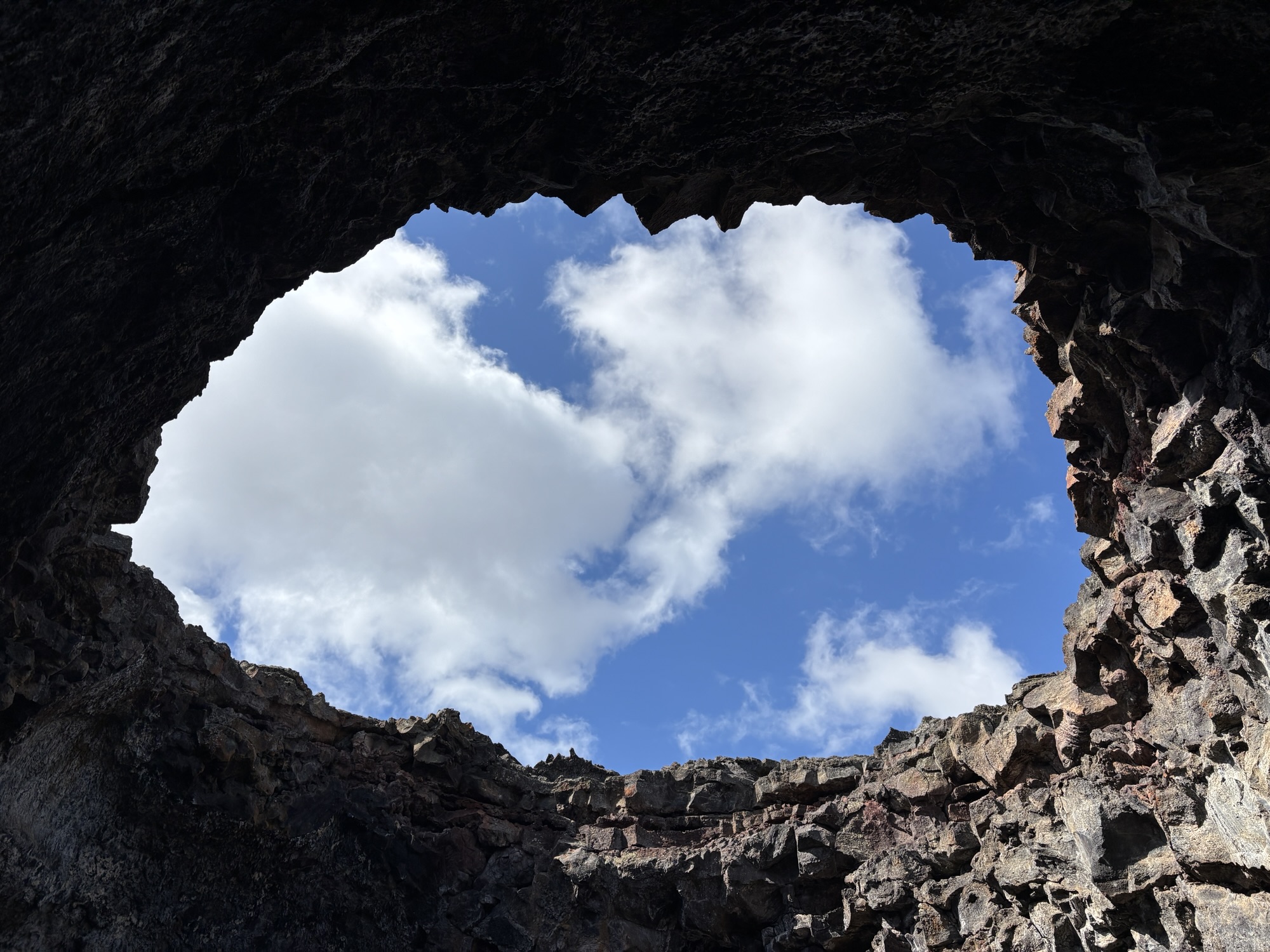
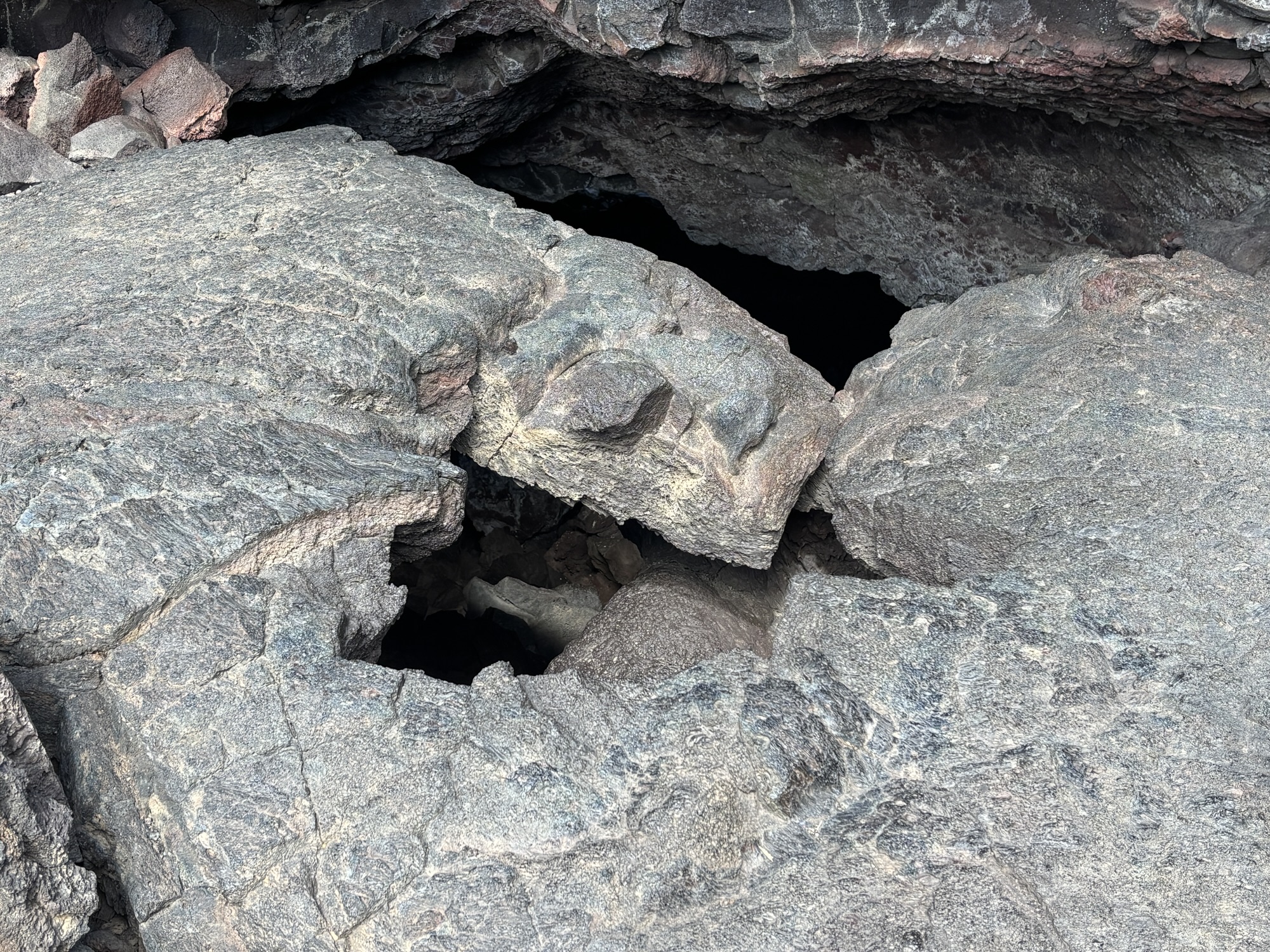
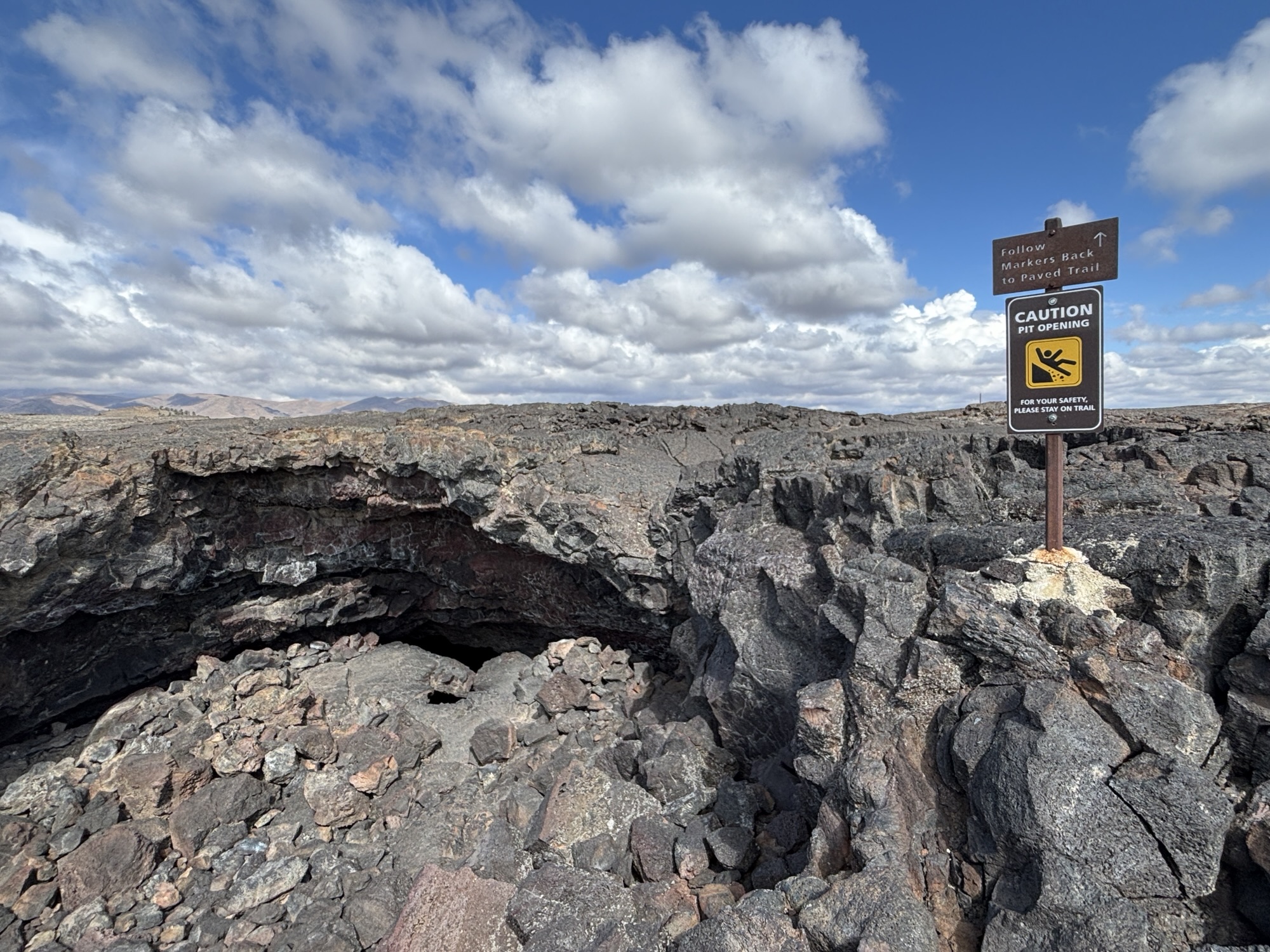
In the caves area of the park, there are several tubes that you are allowed (with your pass) to explore. We passed up the Dew Drop Cave and went on to Indian Tunnel. The entrance is located at a large open space where the roof of the tunnel had collapsed. There is a set of steel stairs that take you down into the cave and the scattered rocks from the original roof.
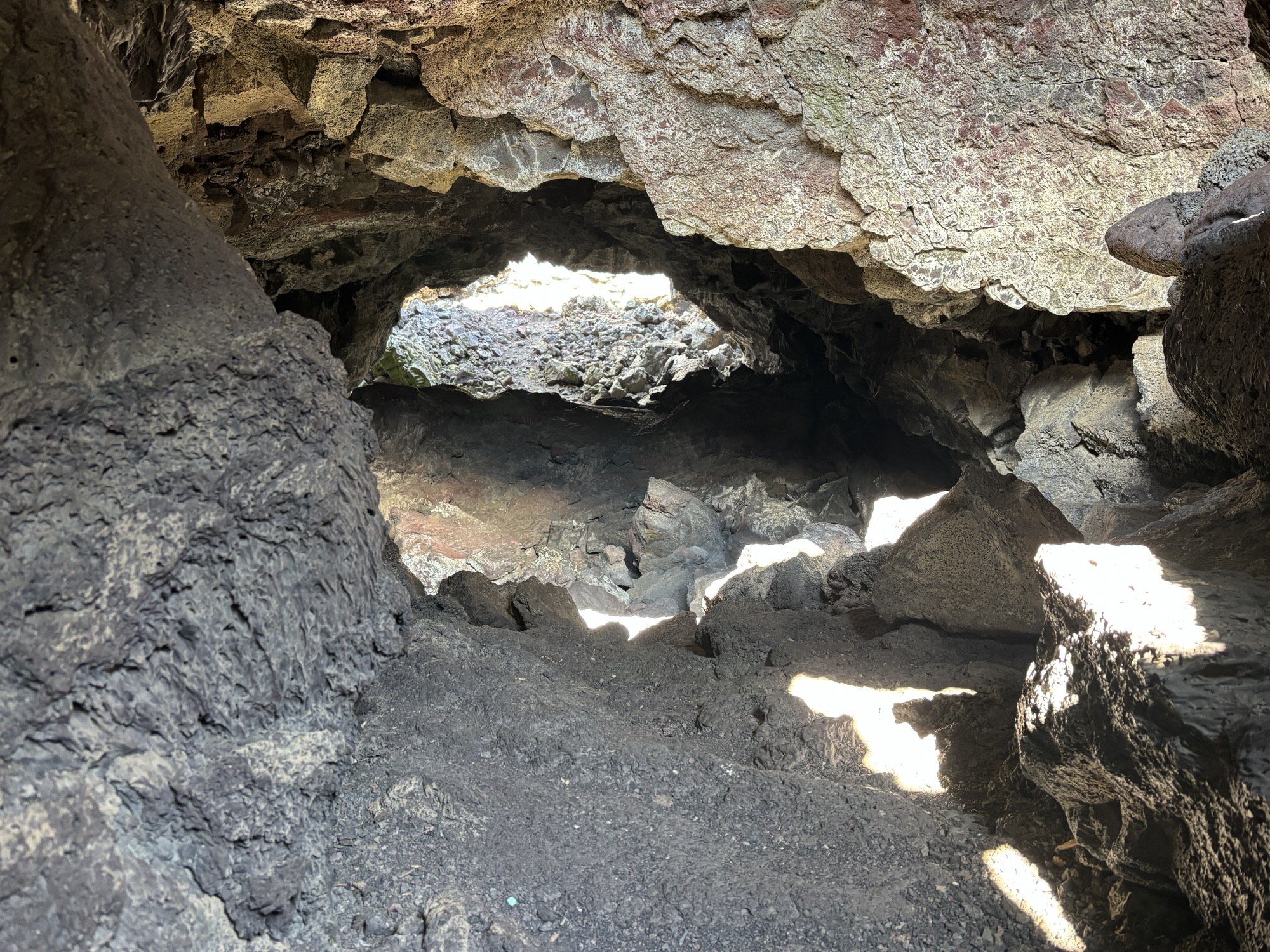
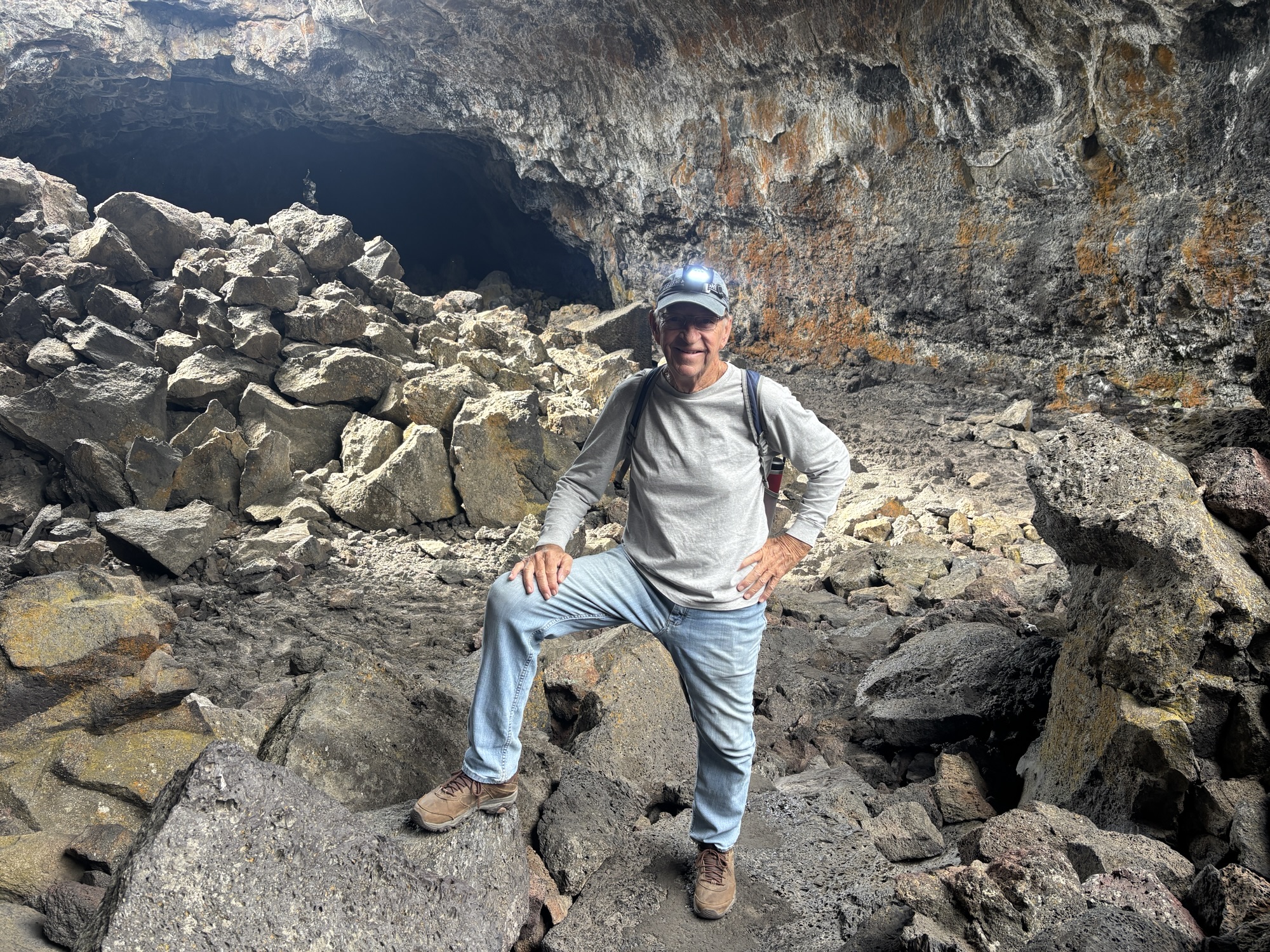
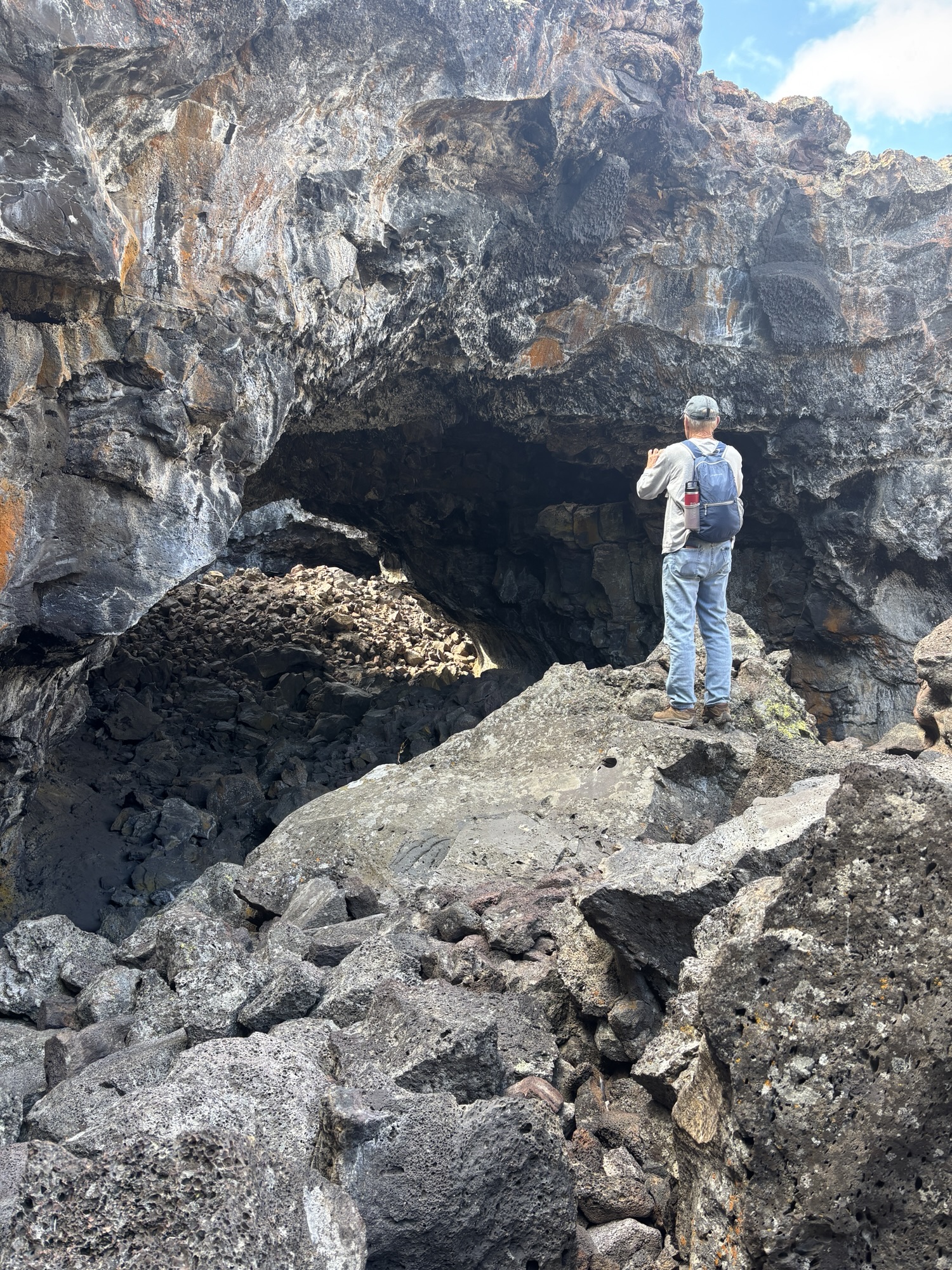
There is no real “trail” but you can see where people have taken the easier (?) route into the tunnel. We had brought our head lamps with us as recommended but, along the way, there are 4 other places where the roof had caved in so there is plenty of light. There was also a lot of climbing over and through the rocks and boulders to make it more challenging! But we had a great time. And the thought of what we were seeing and the idea of the lava flowing that made the experience much more interesting.
After what seemed like forever, but actually only about 800 ft, we found the exit and squeezed our way to the surface. There were some trail markers to show the way back to the entrance and the trail out. We stopped at a couple more of the caves then back to the Jeep to see more of the park.
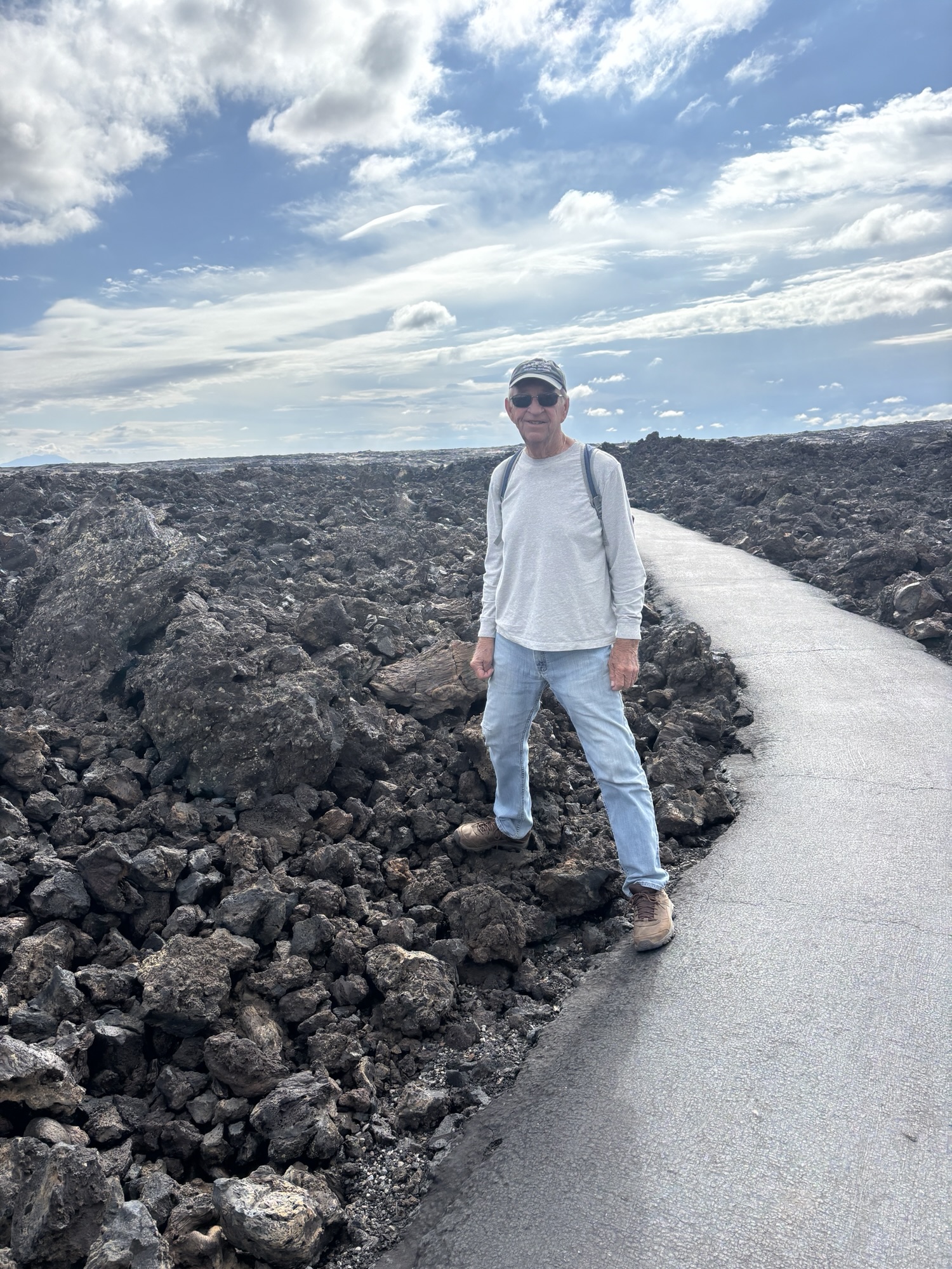
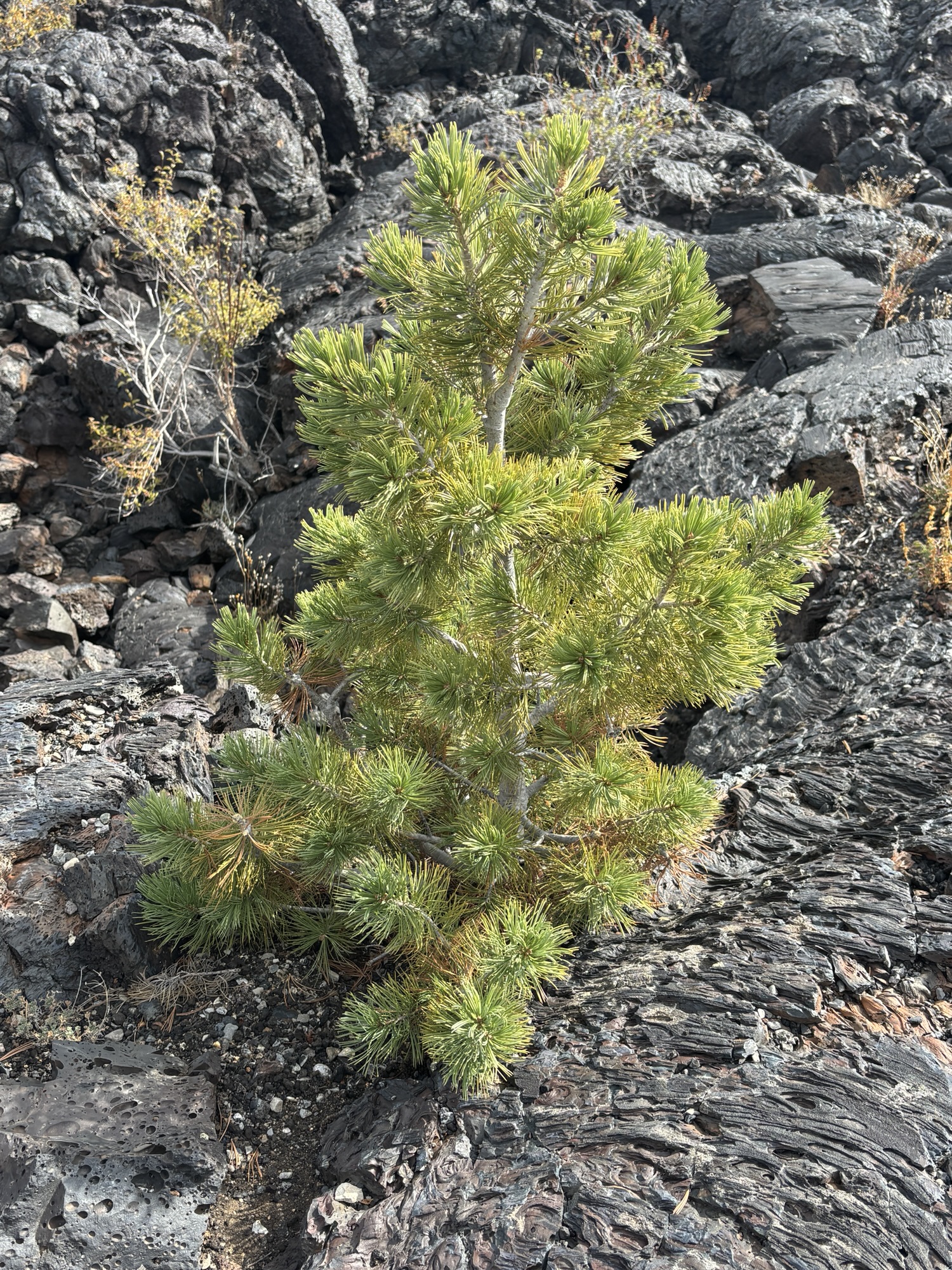
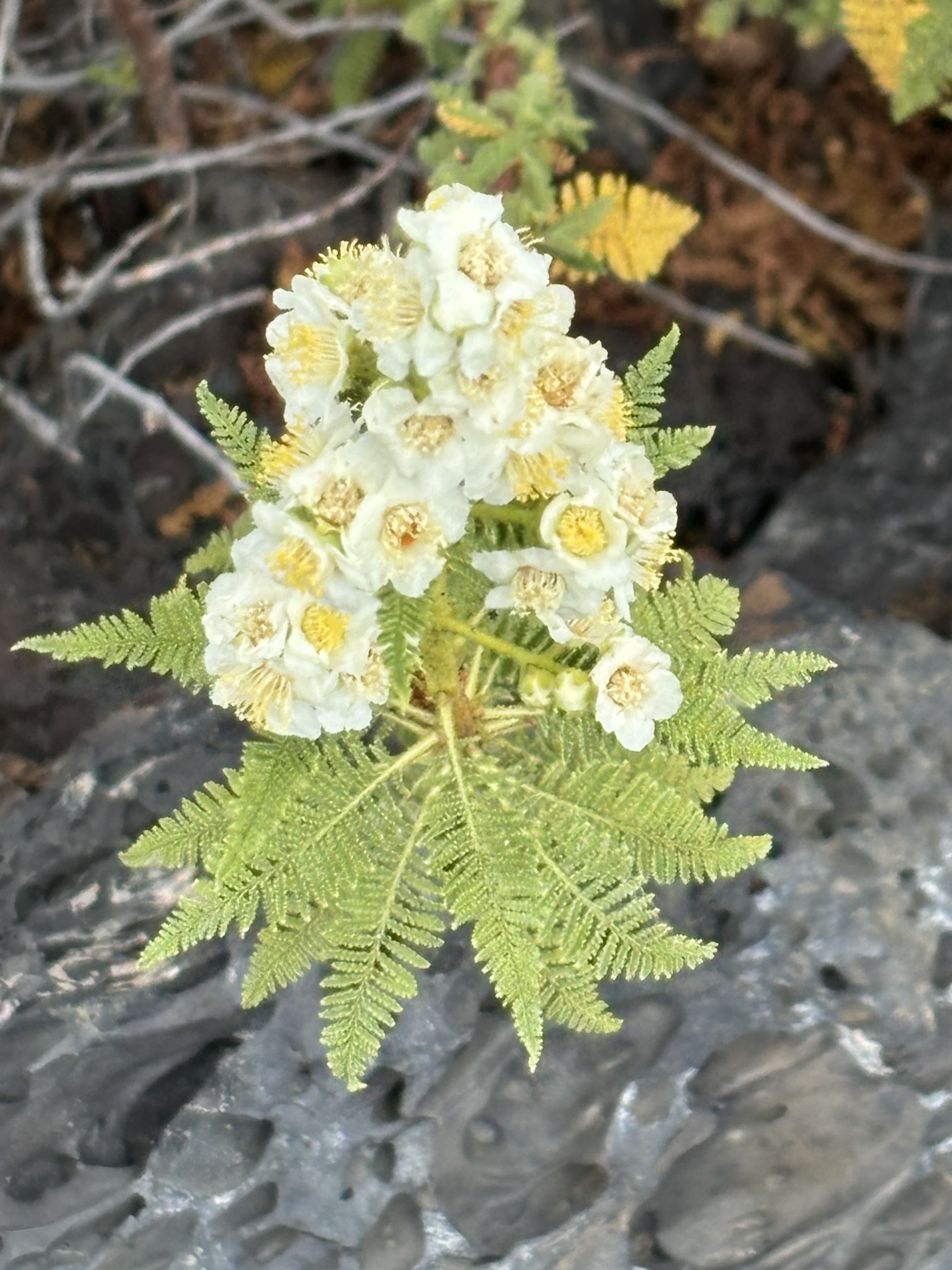
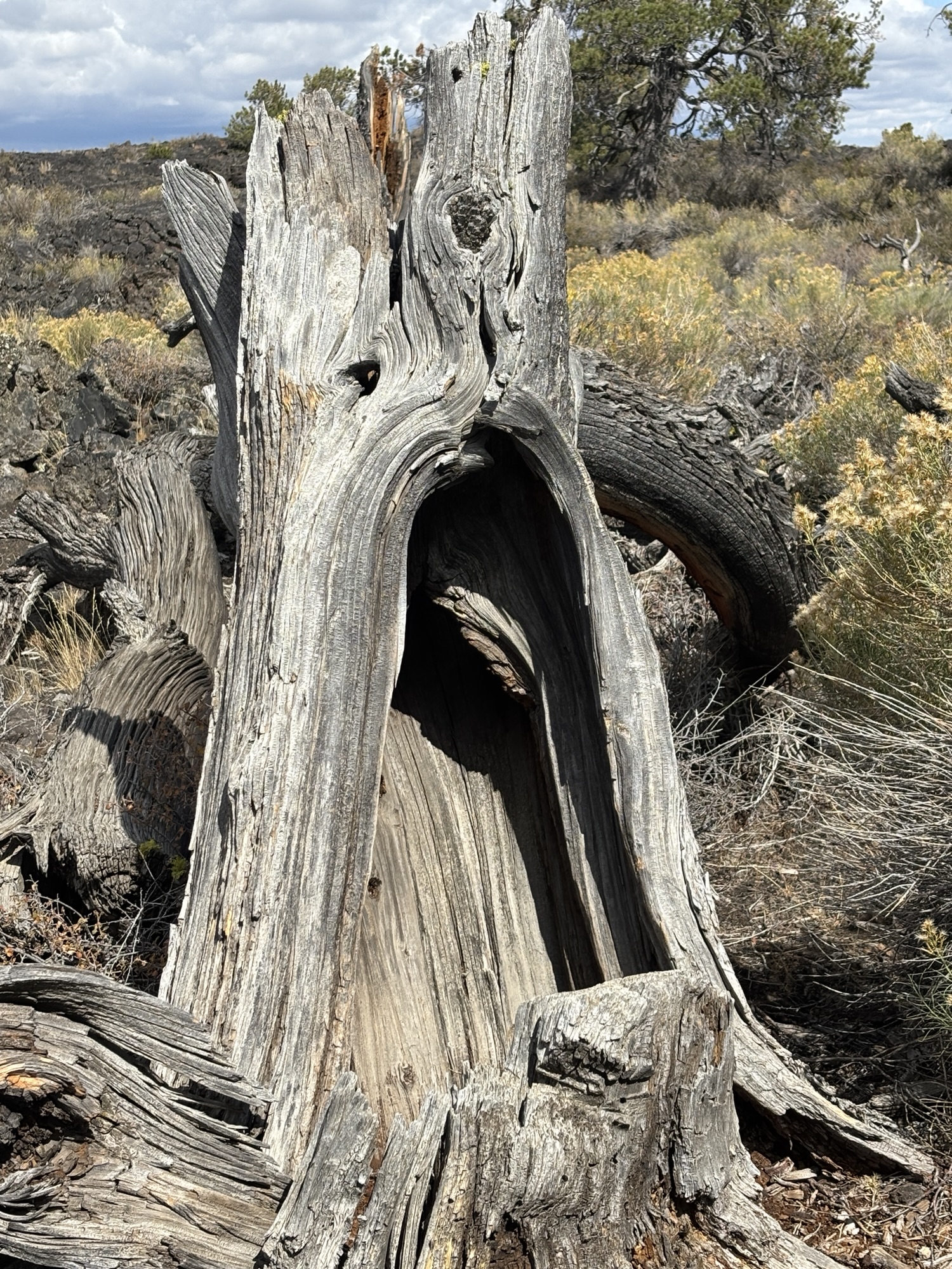
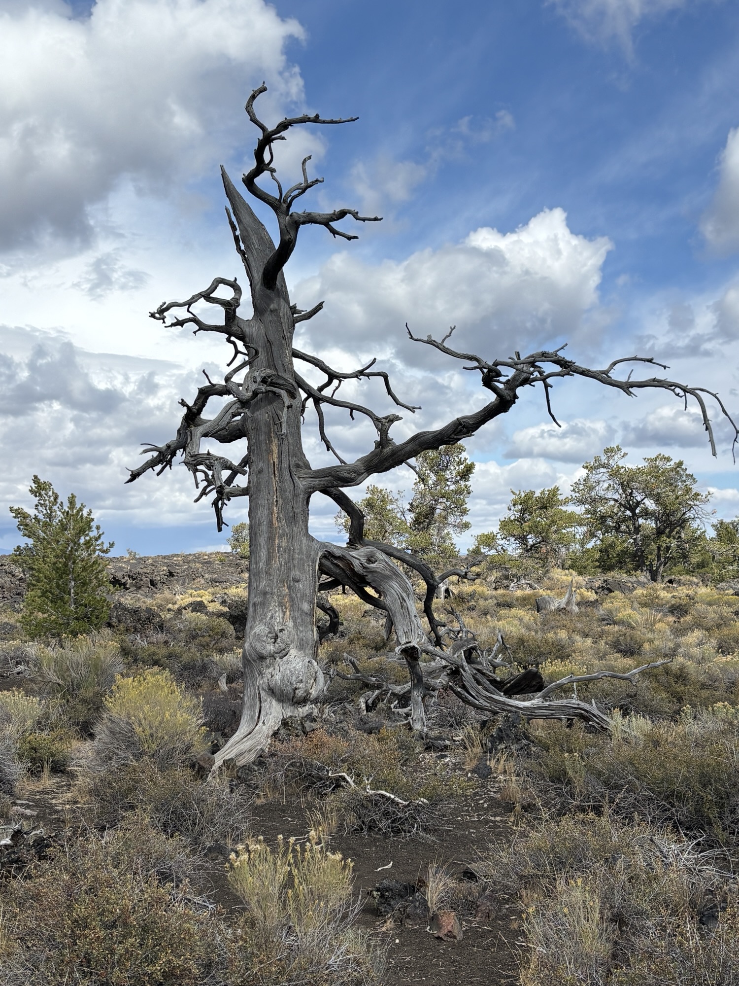
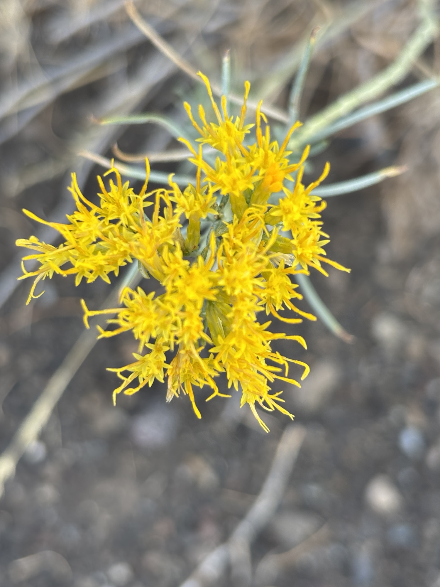
One other thing stood out to us as we drove and walked through the park. There seemed to be one tree and one bush type that were prevalent in the lava fields. Gail did her Seek app and found they are white pines trees and fern bush plants. After a little more searching, we discovered this was not coincidence, but that these can survive in the lava beds and flows with little moisture. And the pines, living up to 700 years, can assist the archaeologists in the dating process. Interesting!
Back at the RV park, there was a special dinner offer of prime rib in the little restaurant! So, we treated ourselves and it turned out to be delicious (and about 20 oz). We couldn’t remember the last time we had prime rib! And we took a big piece of their carrot cake back to the RV for dessert.
Interestingly, as we left Arco and went past the Craters of the Moon visitor center, the lava fields seemed to go on forever. Mile after mile you could see the remains of the lava flow. We couldn’t quite figure out where or which direction the flow came from, but it was amazing. My thoughts were comparing this to what we see recently of the volcano flows in Hawaii and Iceland and how they will look in 2000 years!
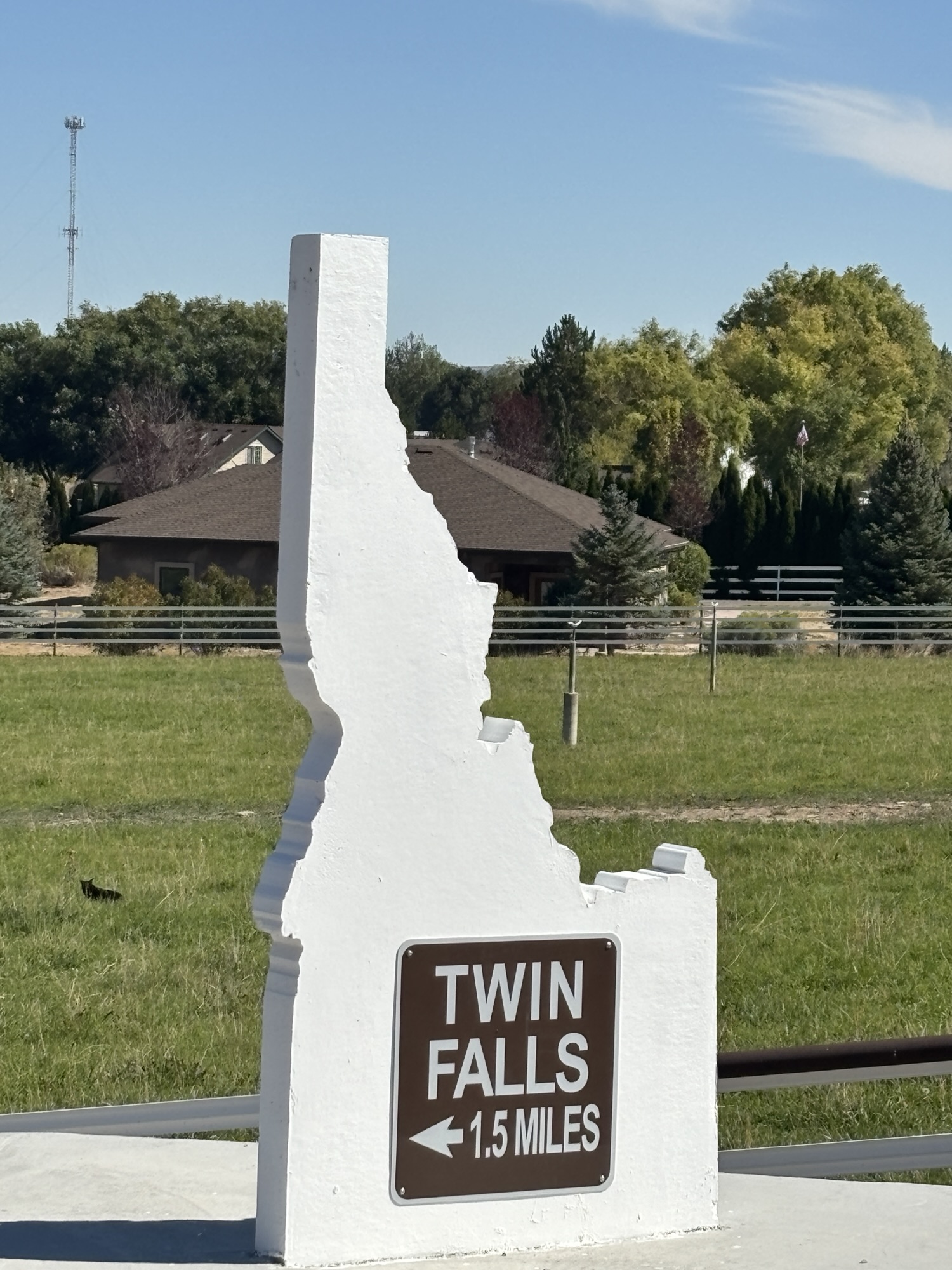
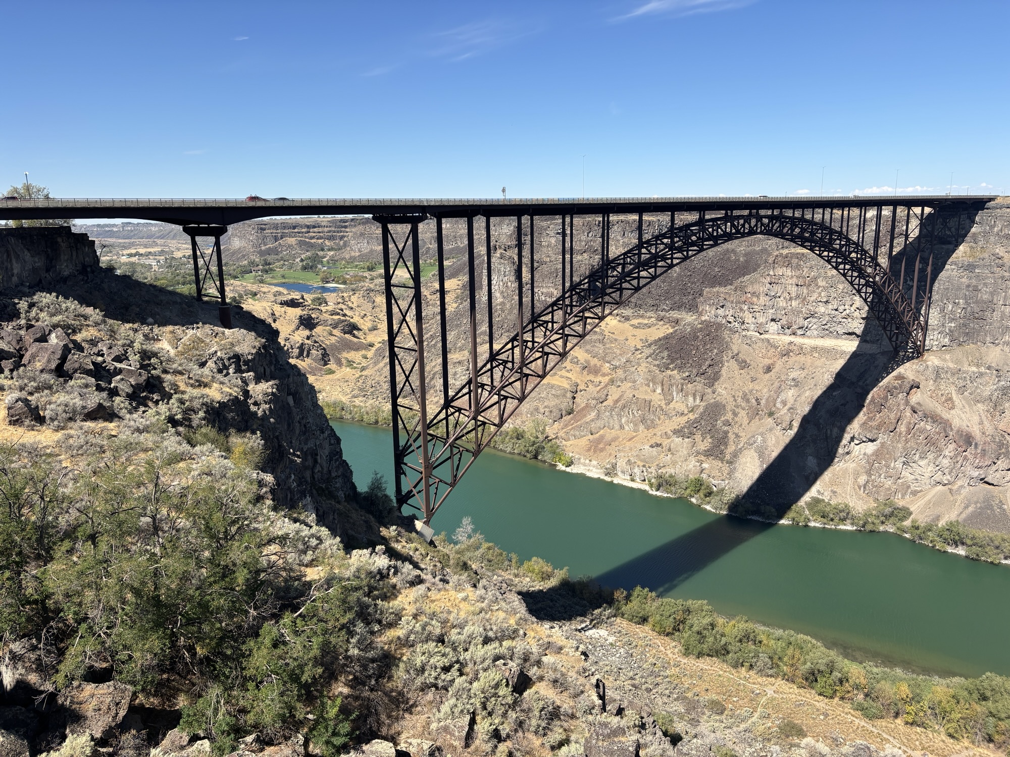
We had one more stop on the trip before getting back to Boise. About half way was Twin Falls. And since we like to go hunting for falls, it seemed like a perfect last stop. We took Hwy 26 down to Shoshone and then Hwy 75 right into Twin Falls. And the Snake River bridge, named the Perrine Memorial Bridge, things got real interesting and we could see our plans for the next day come into focus!
But first, we made it through town and onto the west side in Filer at the Twin Falls 93 RV Park. I had marked a spot to visit near the park last spring before we had started the trip as a must-see place. Since we had the afternoon off, we decided to go check it our first!
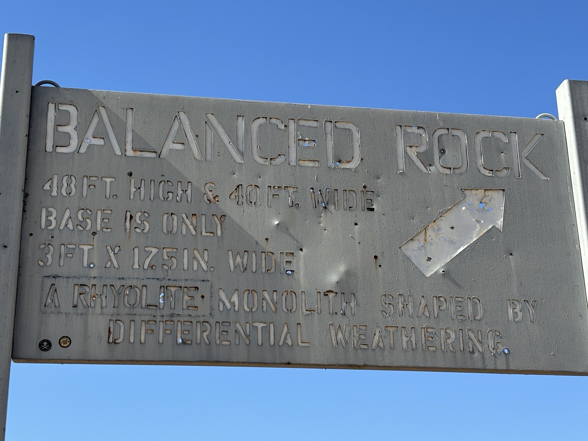
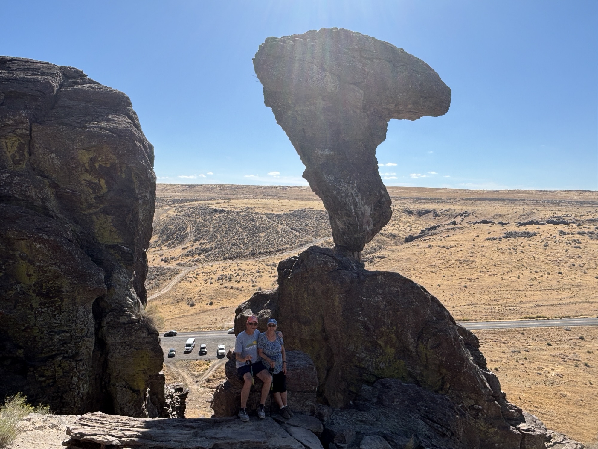
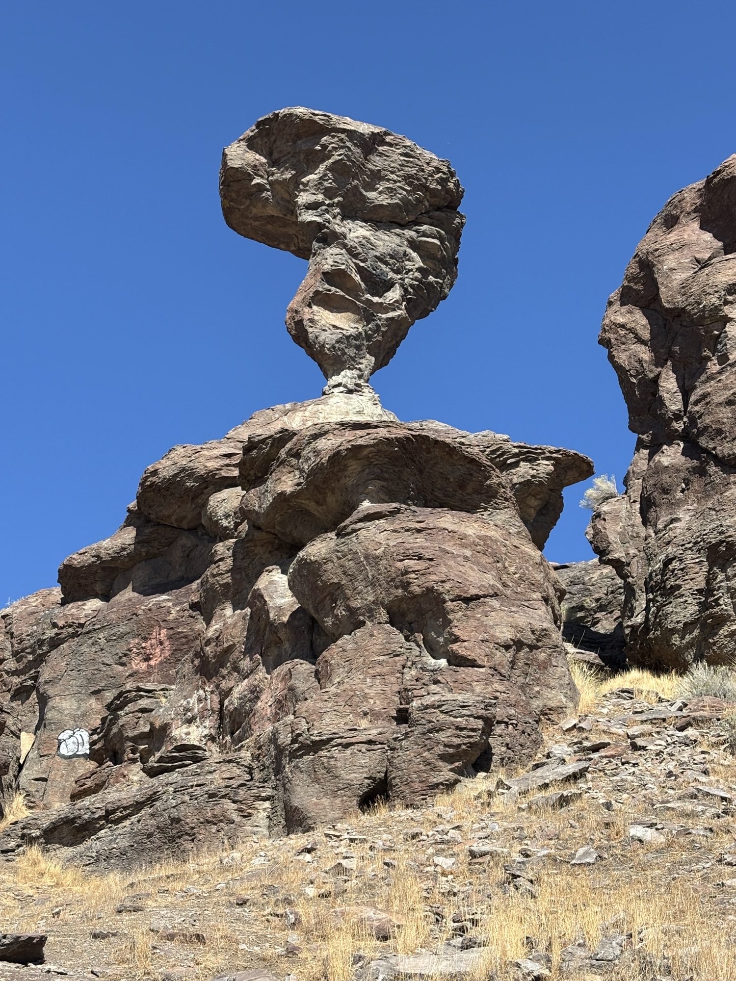
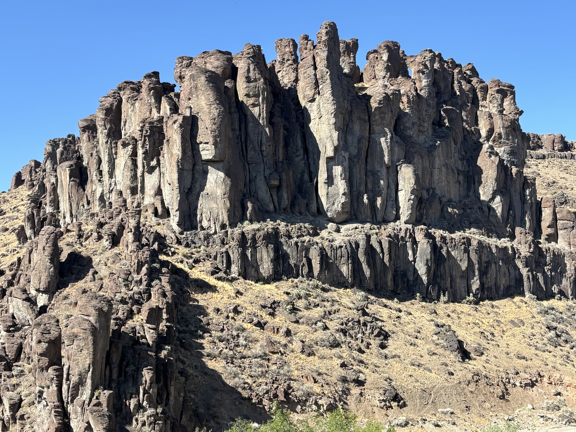
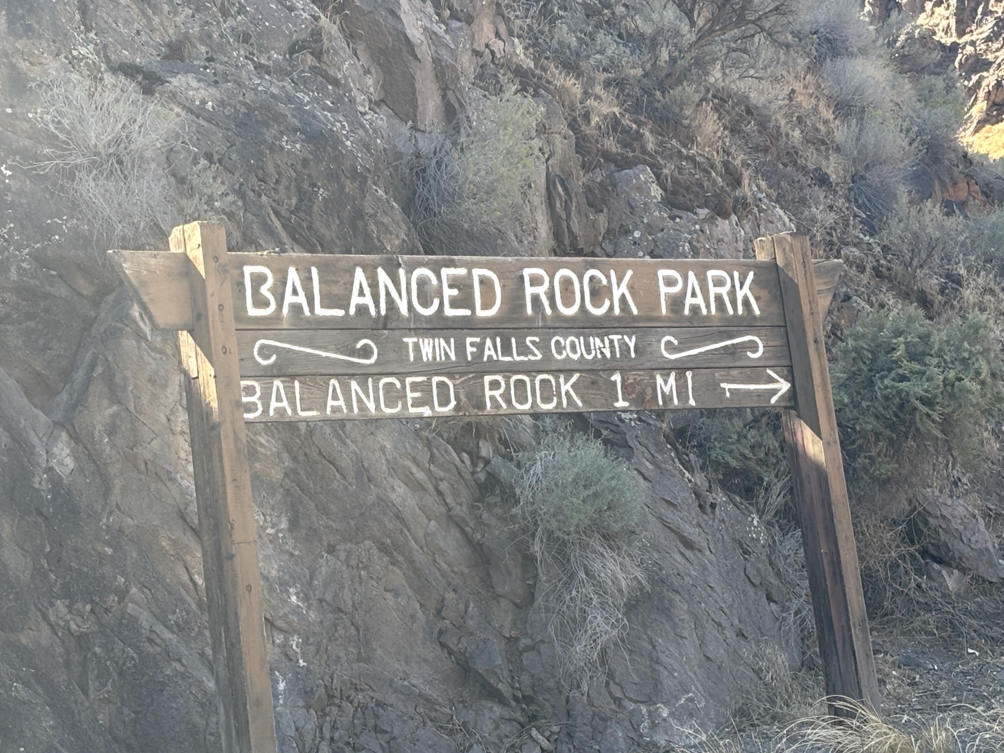
It is called Balanced Rock. It’s about a 20 mile drive out in the country and past lots of dairies! Then, all of the sudden, you are in cool, steep Salmon Falls Creek Canyon and you see this huge boulder/rock seemingly balanced on a small spindle of rock. The rock itself is 48 FEET tall and weighs 40 tons (8000 pounds)! The dimensions of the support are listed at 3 feet x 17 INCHES! The third dimension (or gap height between the pedestal and the rock) are not quoted in any search that I made but I guess by looking at the photos, it would only be about 3-4 feet?! It is made of rhyolite lava from about 15 million (there’s that date again!) and shaped by wind and weather to its current shape and position.
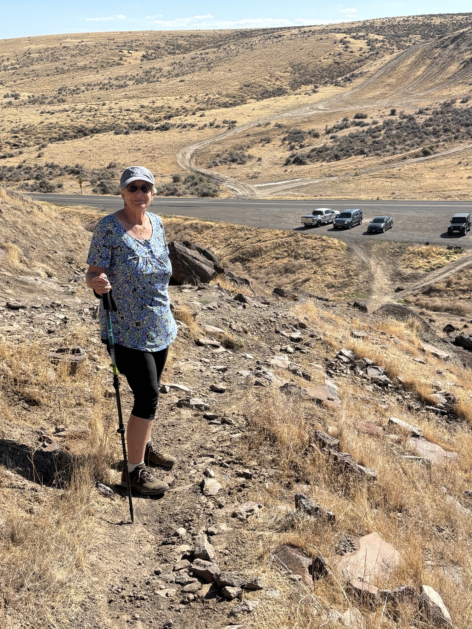
It doesn’t seem possible. But it is there. And there is a steep but doable hike up to get a closer view. And get some better photos!
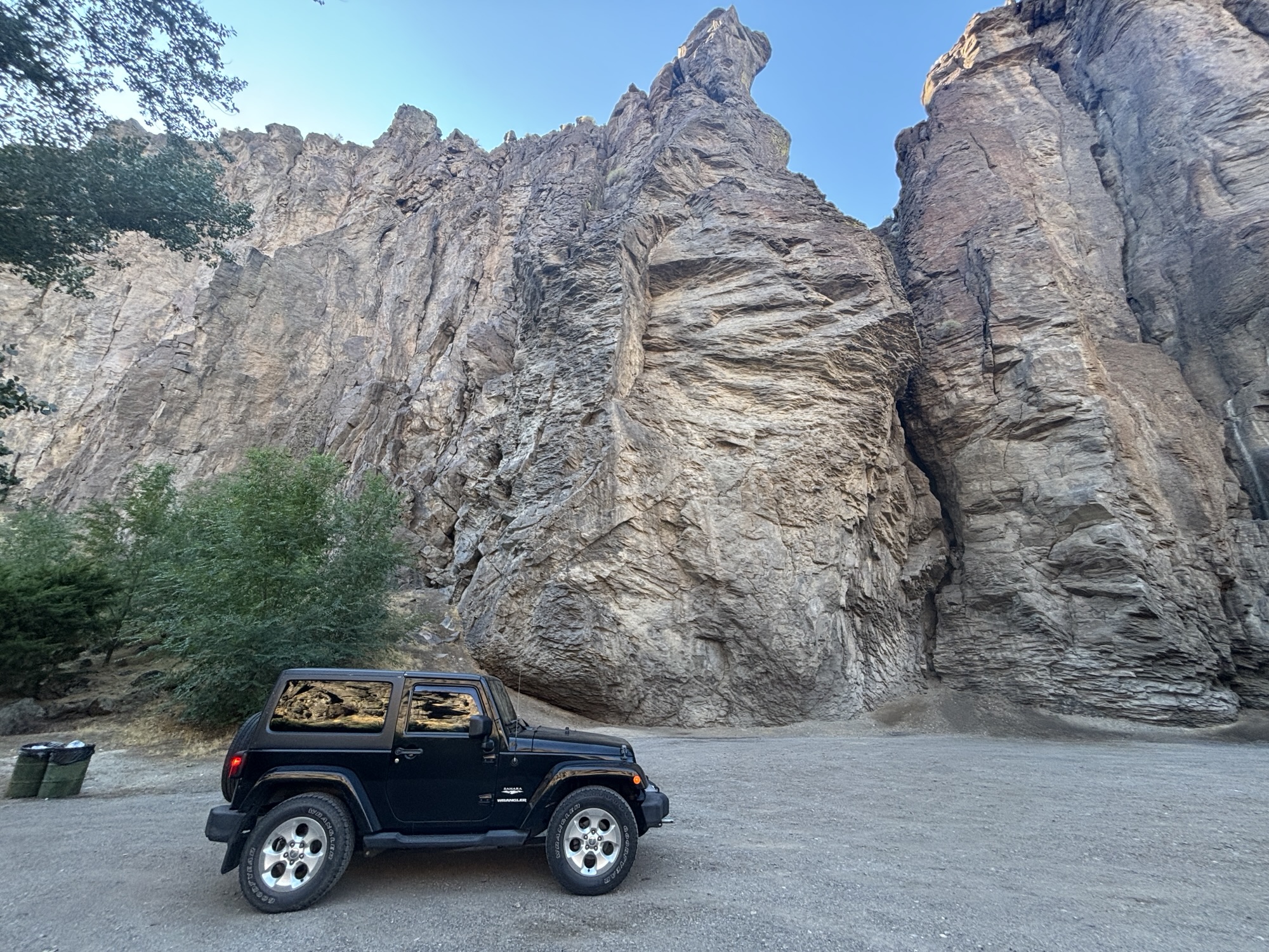
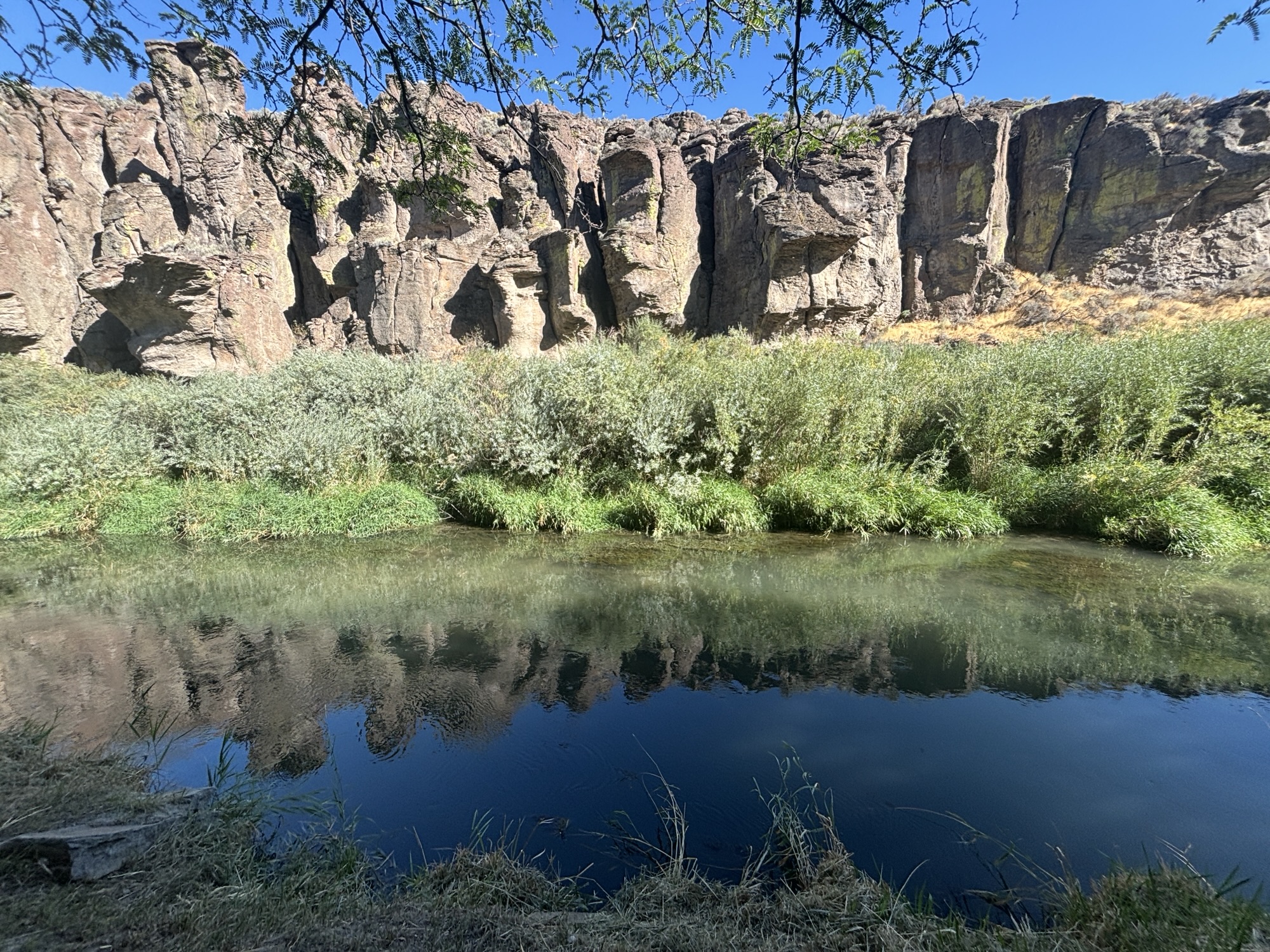
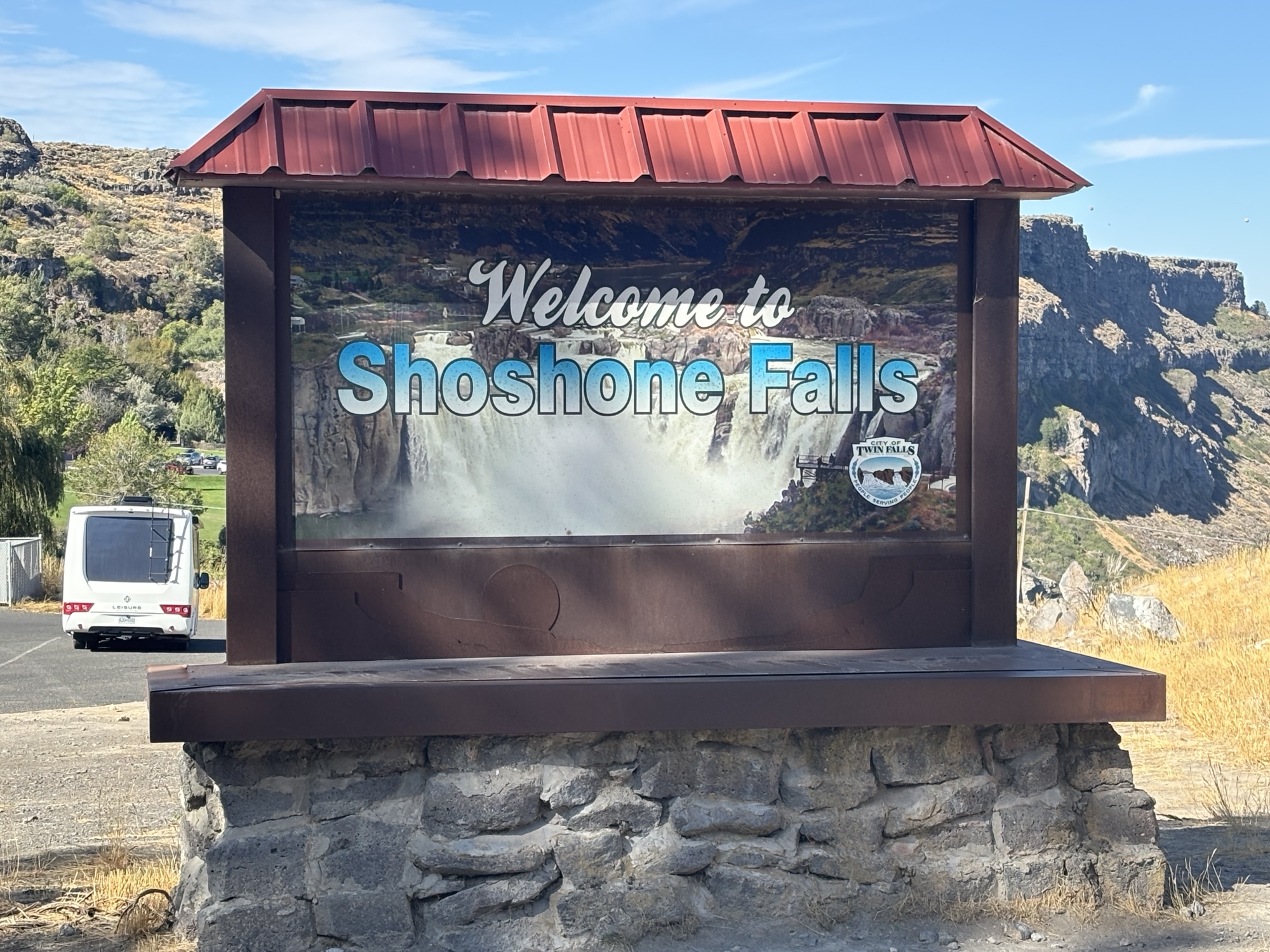
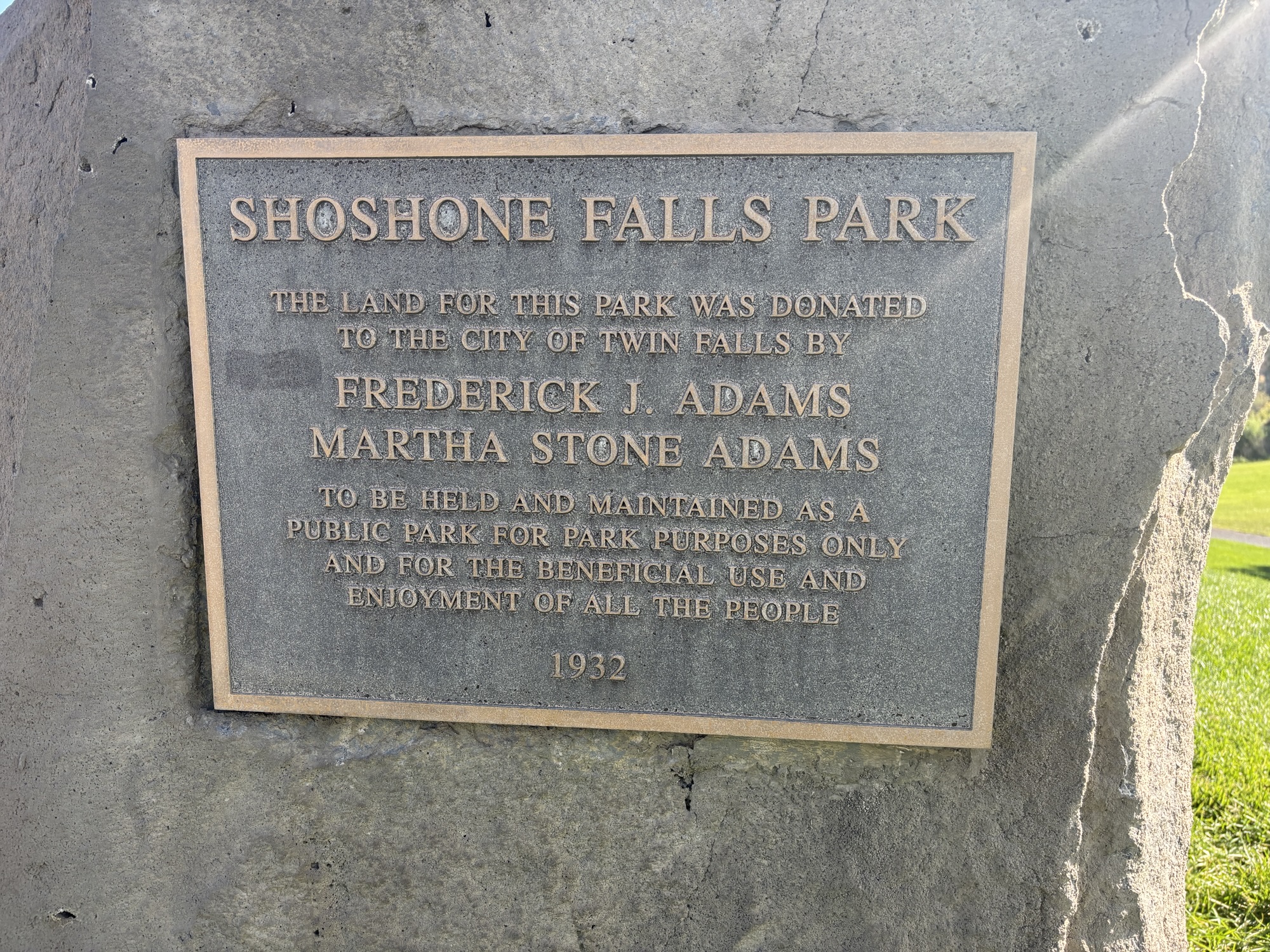
The next day we explored downtown and searched out the real ‘twin falls” that the city was named after. The first falls to visit are near the visitor center and called Shoshone Falls and are labeled the Niagara of the West coming in at 212 ft high (36 ft higher than Niagara) and 900 ft wide. The viewing platform is an overlook so you can get the whole picture. Unfortunately, being the summer season, and with the lack of snow melt and rain along the Snake River, the volume of water over the falls was not too spectacular today! But you can definitely imagine the falls when flowing!
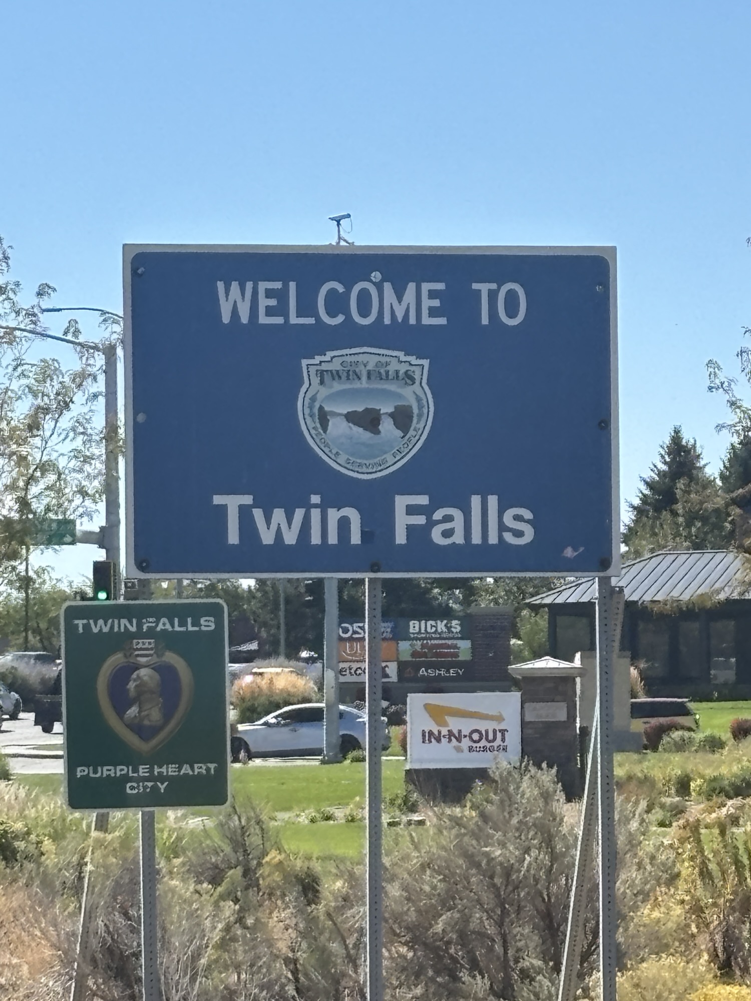
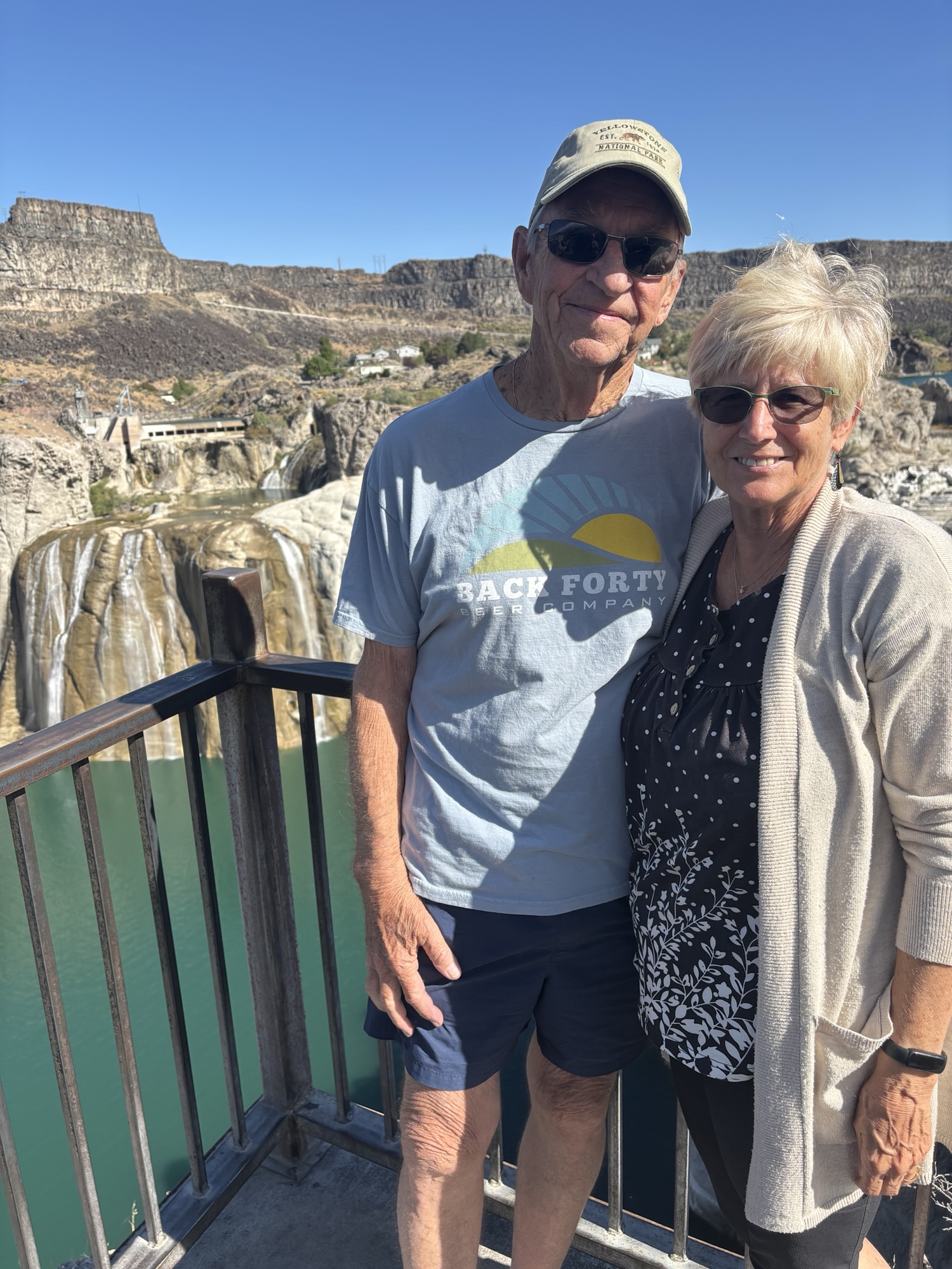
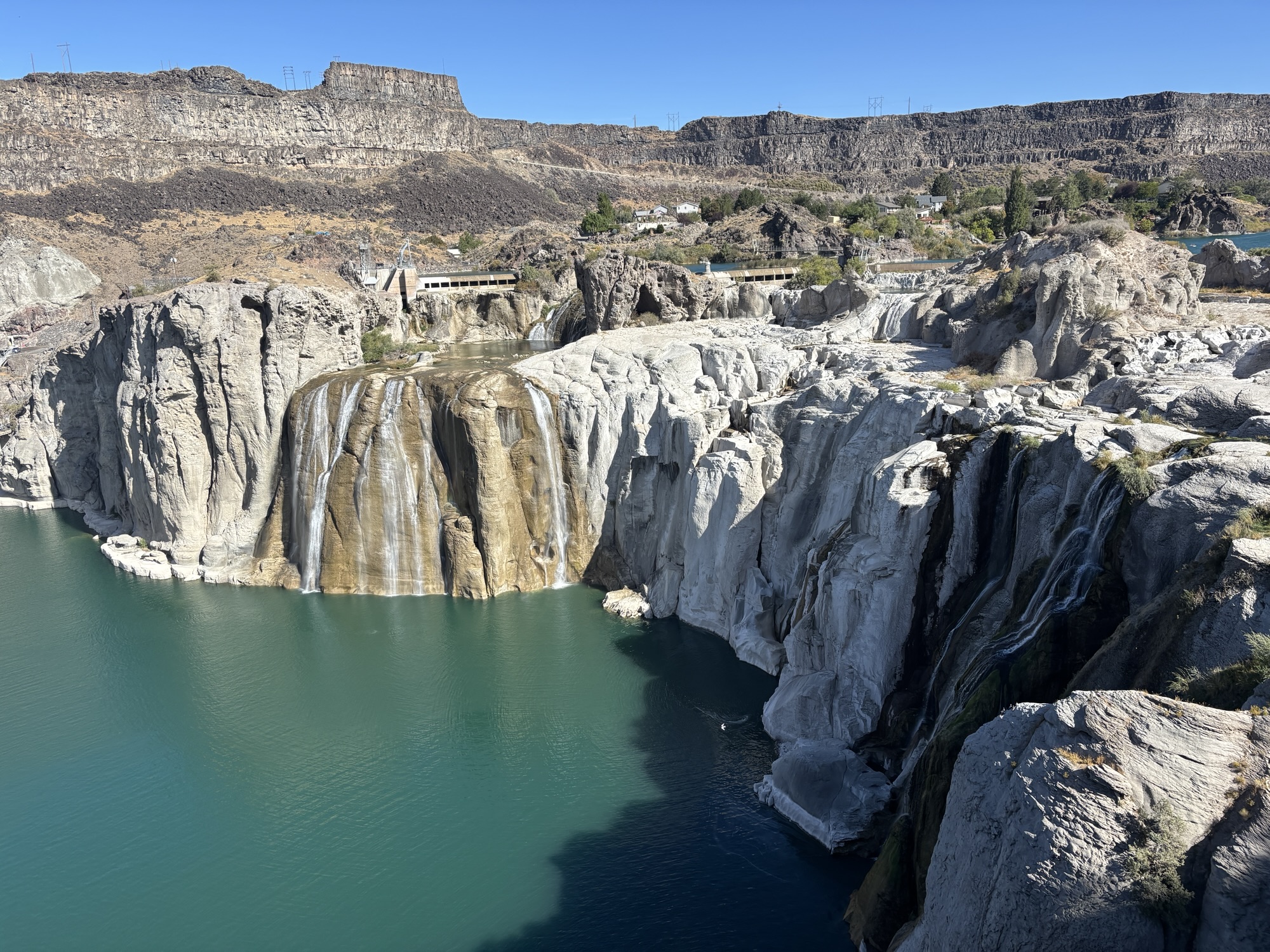
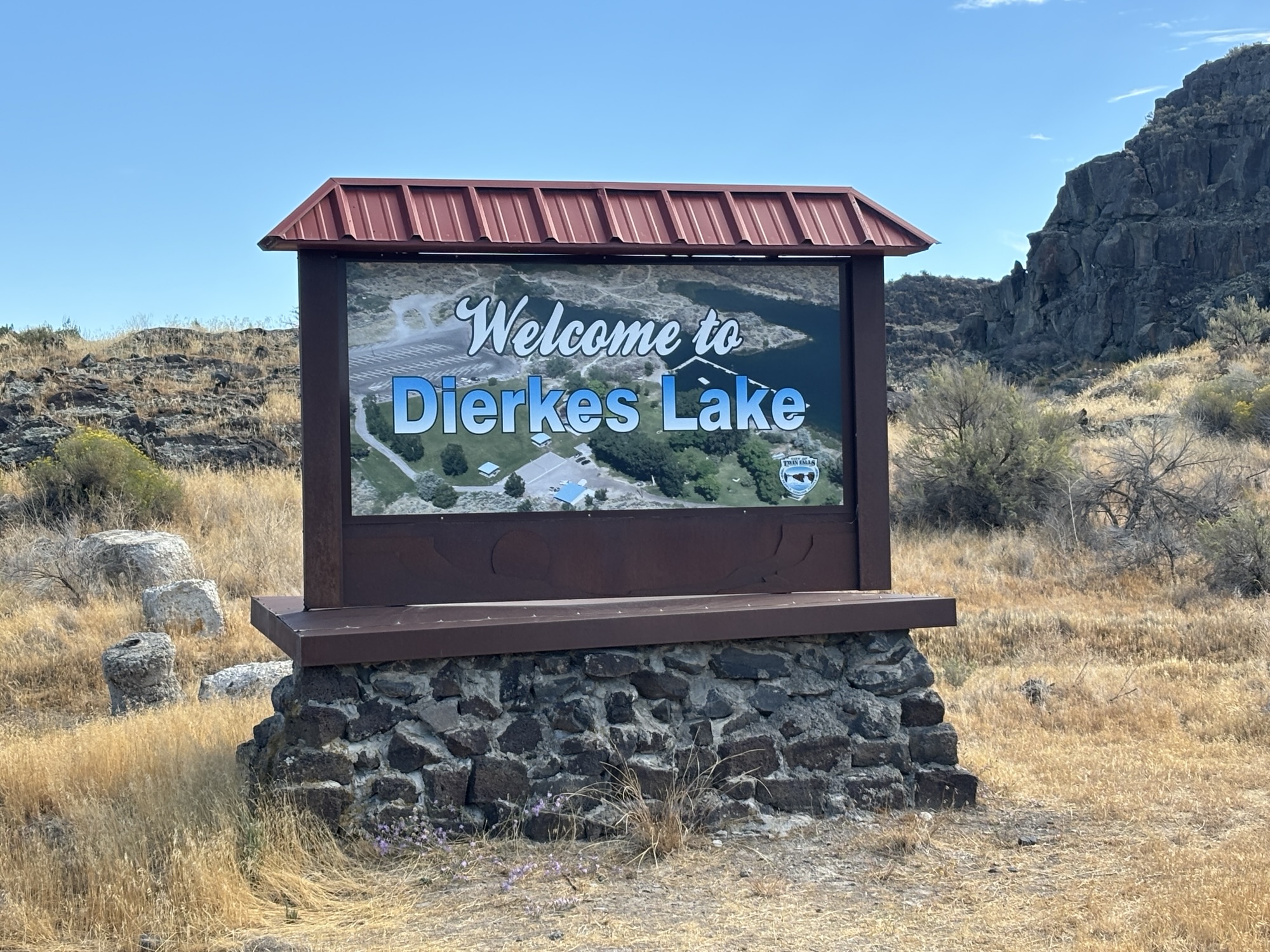
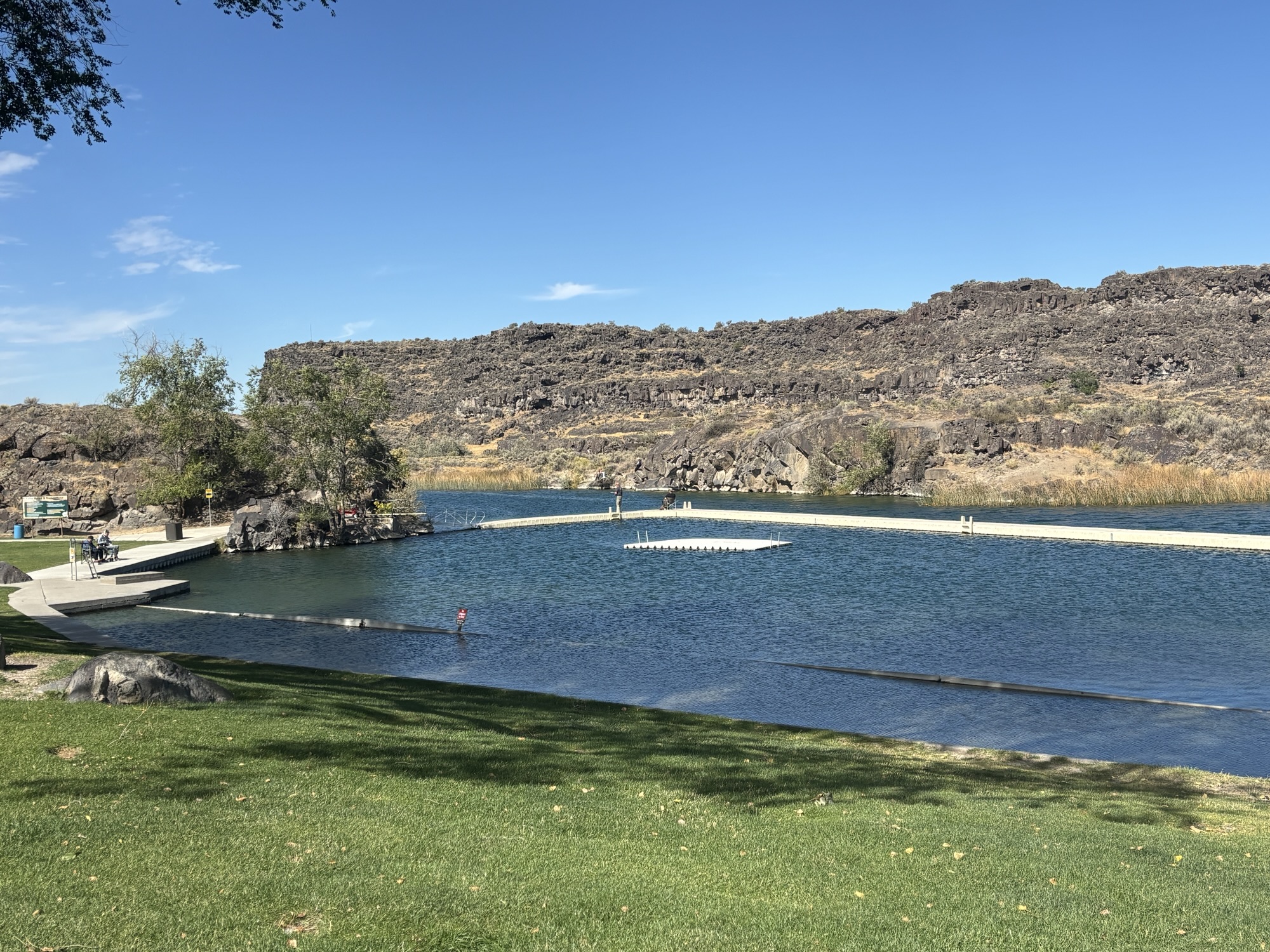
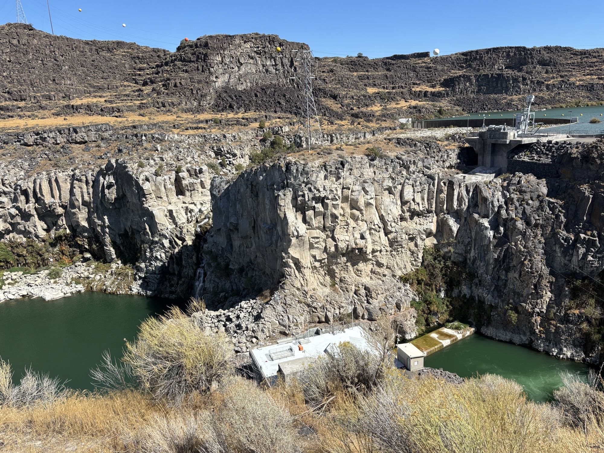
After a quick stop near the overlook to see Dierkes Lake and a little hike around, we headed to the REAL Twin Falls. These were discovered in 1811 during an expedition by Wilson Price. They are about 5 miles further upstream from the current city, and they were actually two waterfalls split by a huge basalt pillar. Hence, “twin falls”. But in 1935, Idaho Power built a hydroelectric plant that blocked the southern falls. And now with a low flow of water, the remaining falls are a mere trickle. We are thinking about returning to Twin Falls next Spring check out the falls again before the summer flow reductions!
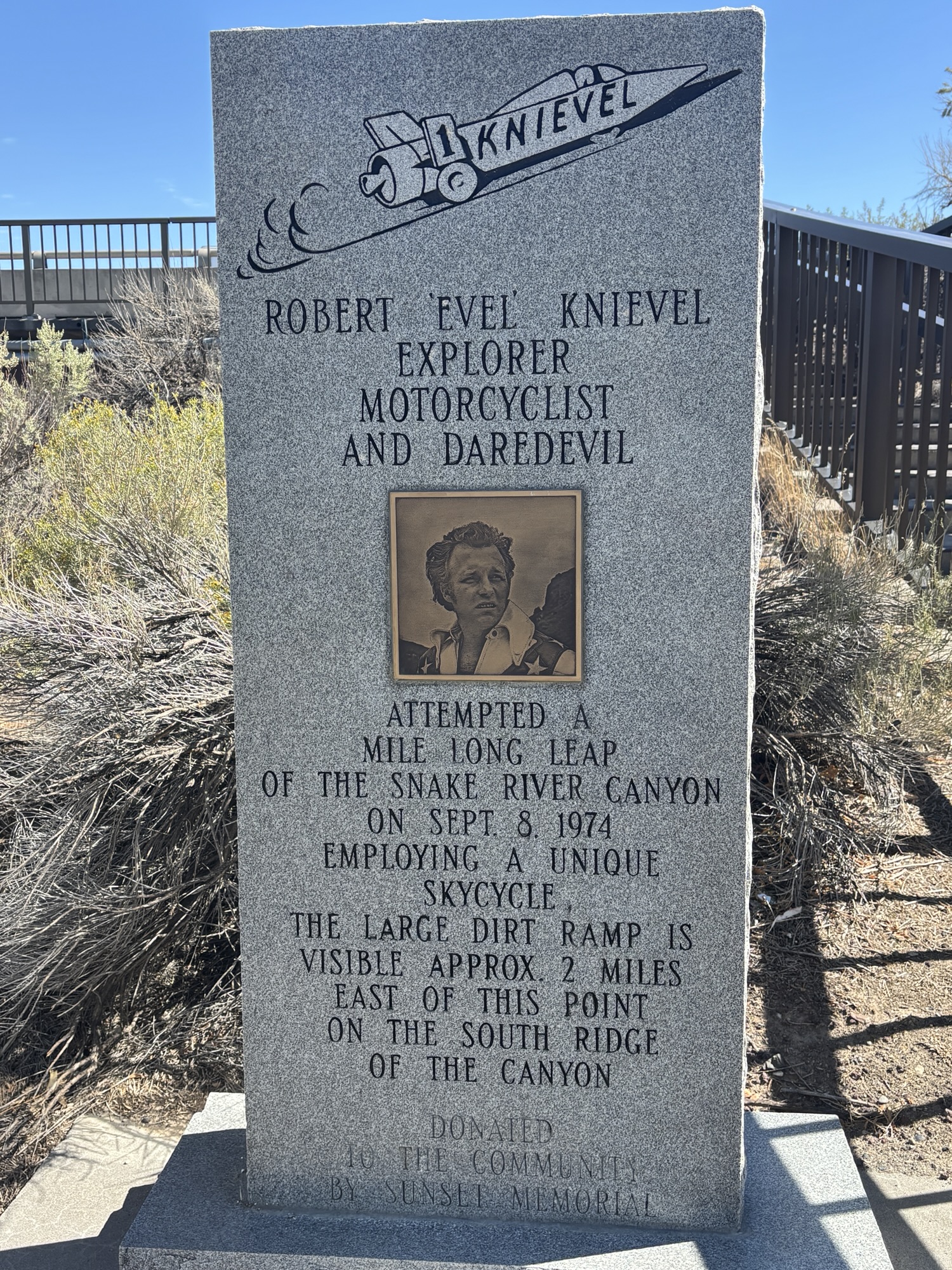
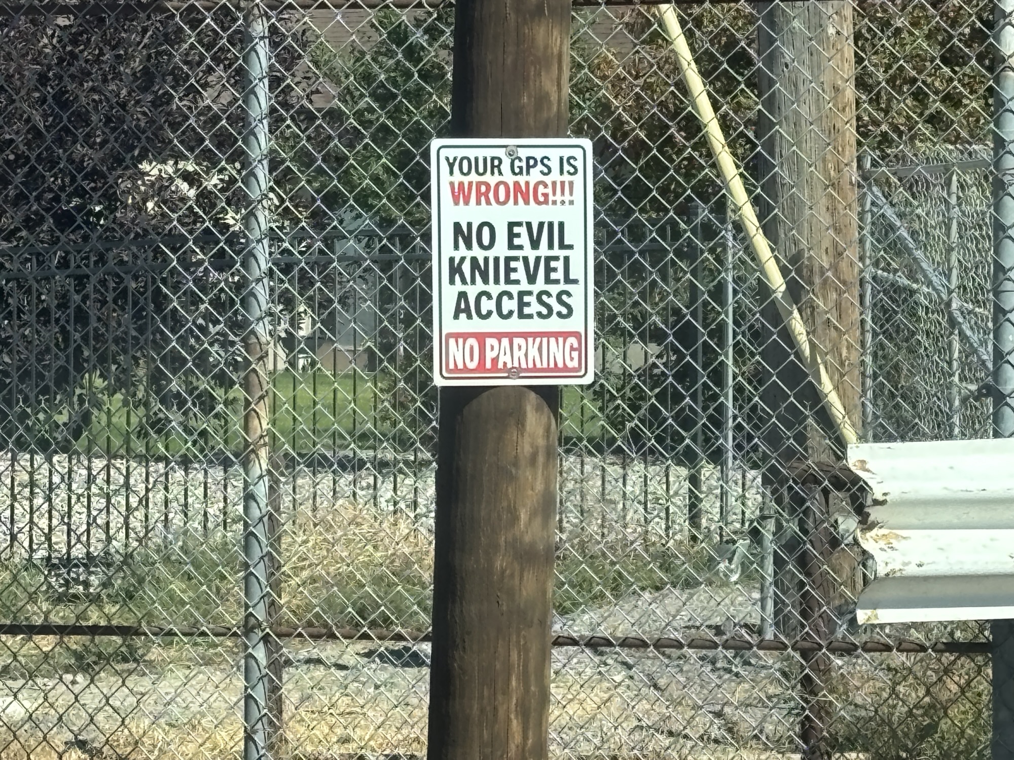
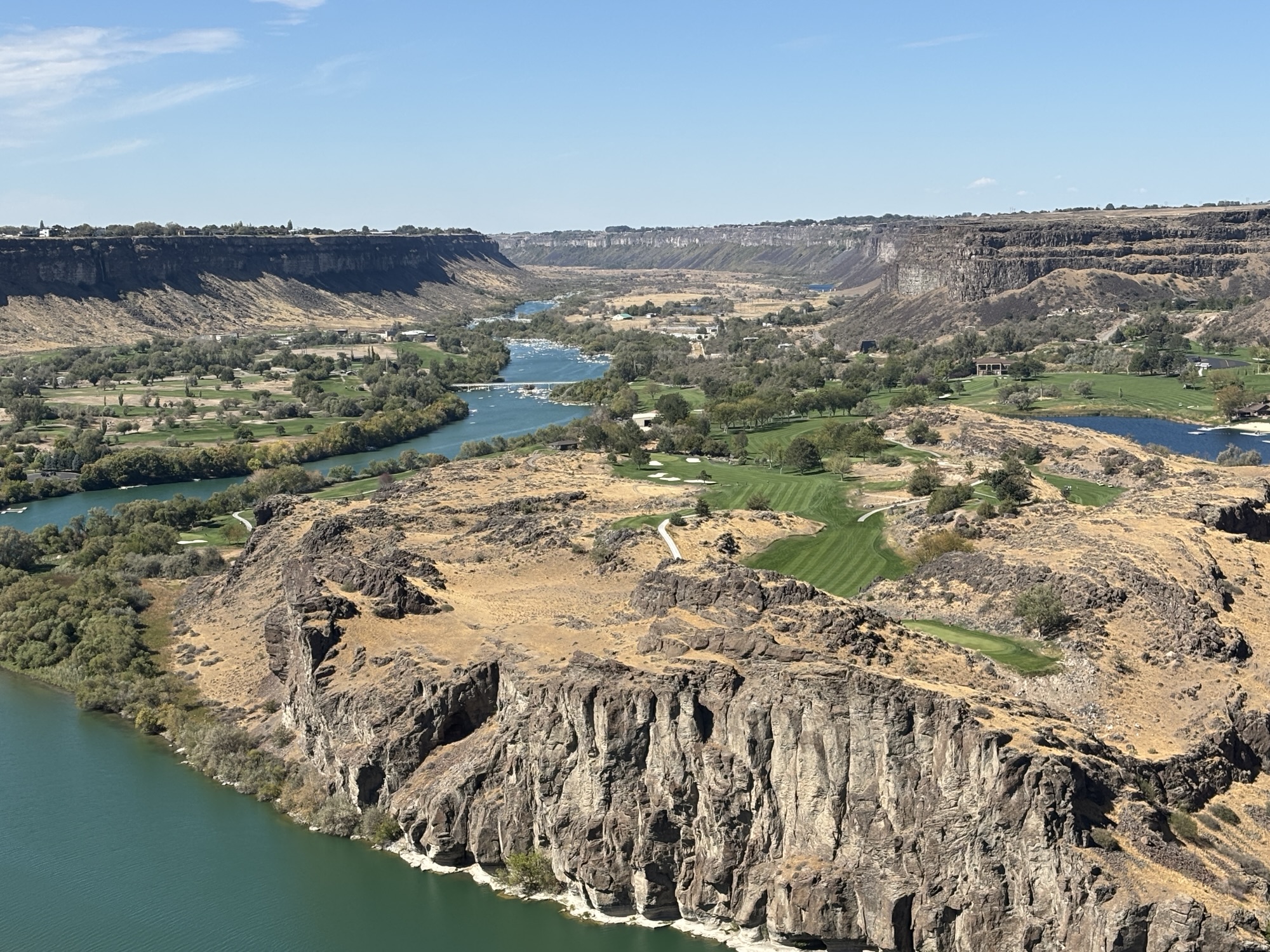
We had two more stops after a Taco Bell lunch! First, we wanted to find the launch platform for Evel Knievel’s attempt to “jump” the Snake River here in Twin Falls in 1974. You youngsters won’t know about this. He had a special steam powered “motorcycle” called the “X-2 Skycycle”. The 1730 ft jump attempt failed when the parachute opened on takeoff and the cycle ended up below the launch site in the rocks. He was okay but had a broken nose. Now the launch ramp is all that is left but we couldn’t find it. The closest we came was a dead-end street with a sign that said your GPS was wrong!
PS – in researching some facts, I found that Eddie Braun, a stuntman and a big fan of Knievel, completed the jump in the exact place and in a similar steam powered rocked named “Evel Spirit”. It proved that Knievel’s calculations and designs were valid! Didn’t know that!
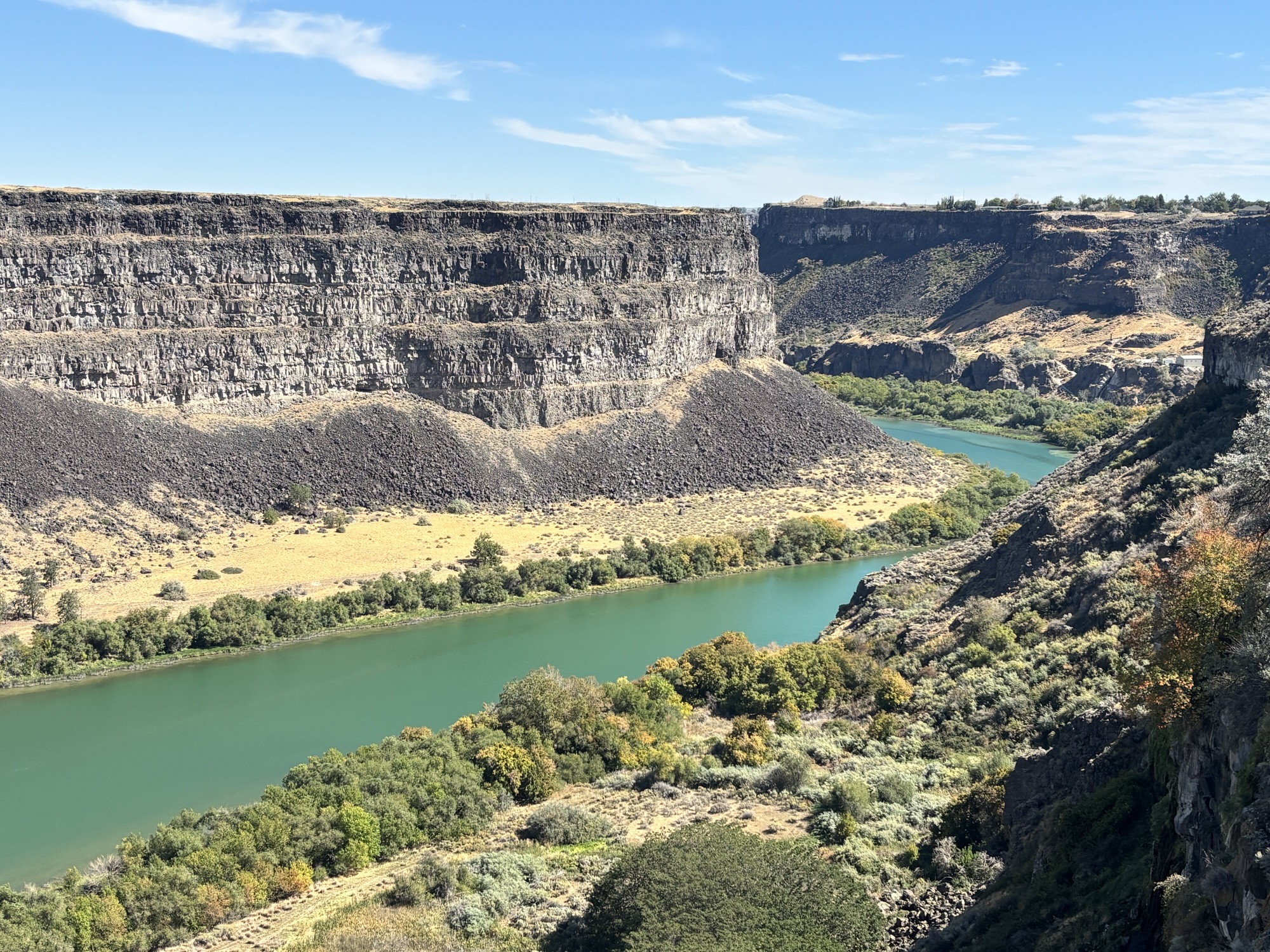
Back to town one more time to find Perrine Coulee Falls. It’s a bit hidden off the road down to the river and on a sharp hairpin turn. But we backtracked and parked. There is a walk to the area behind the falls for s spectacular view (and loud sound of crashing water). It drops over 200 ft.
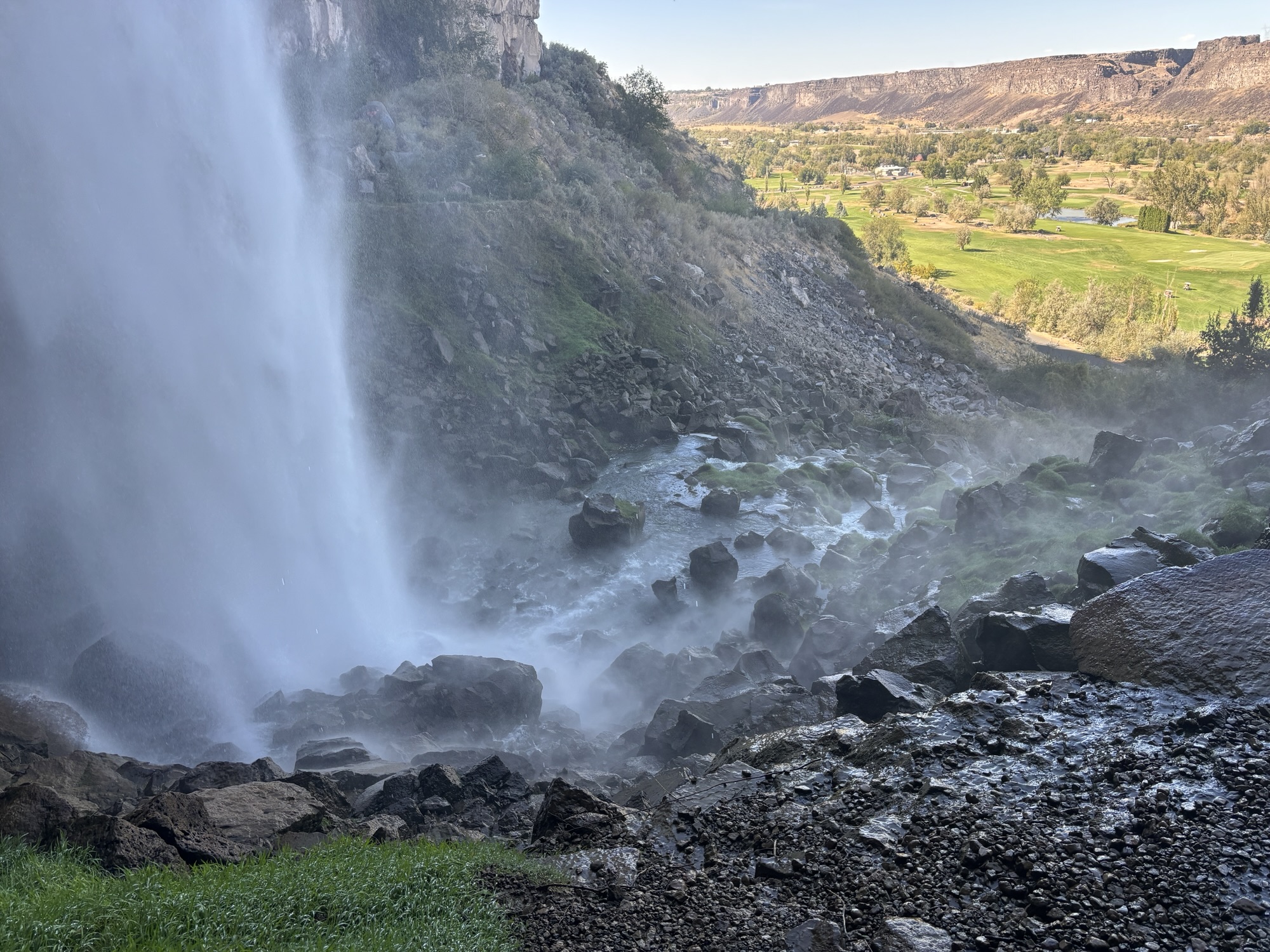
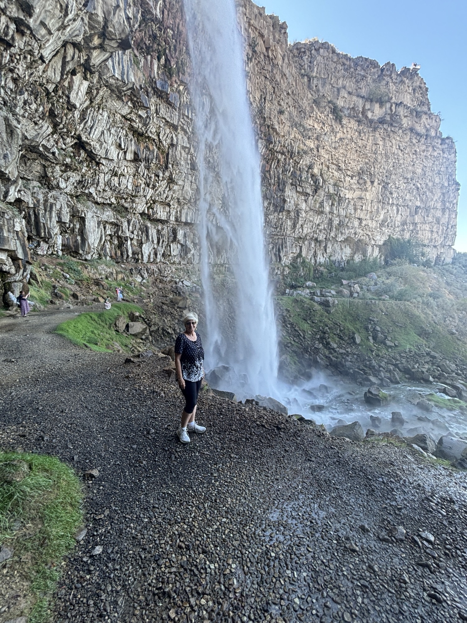
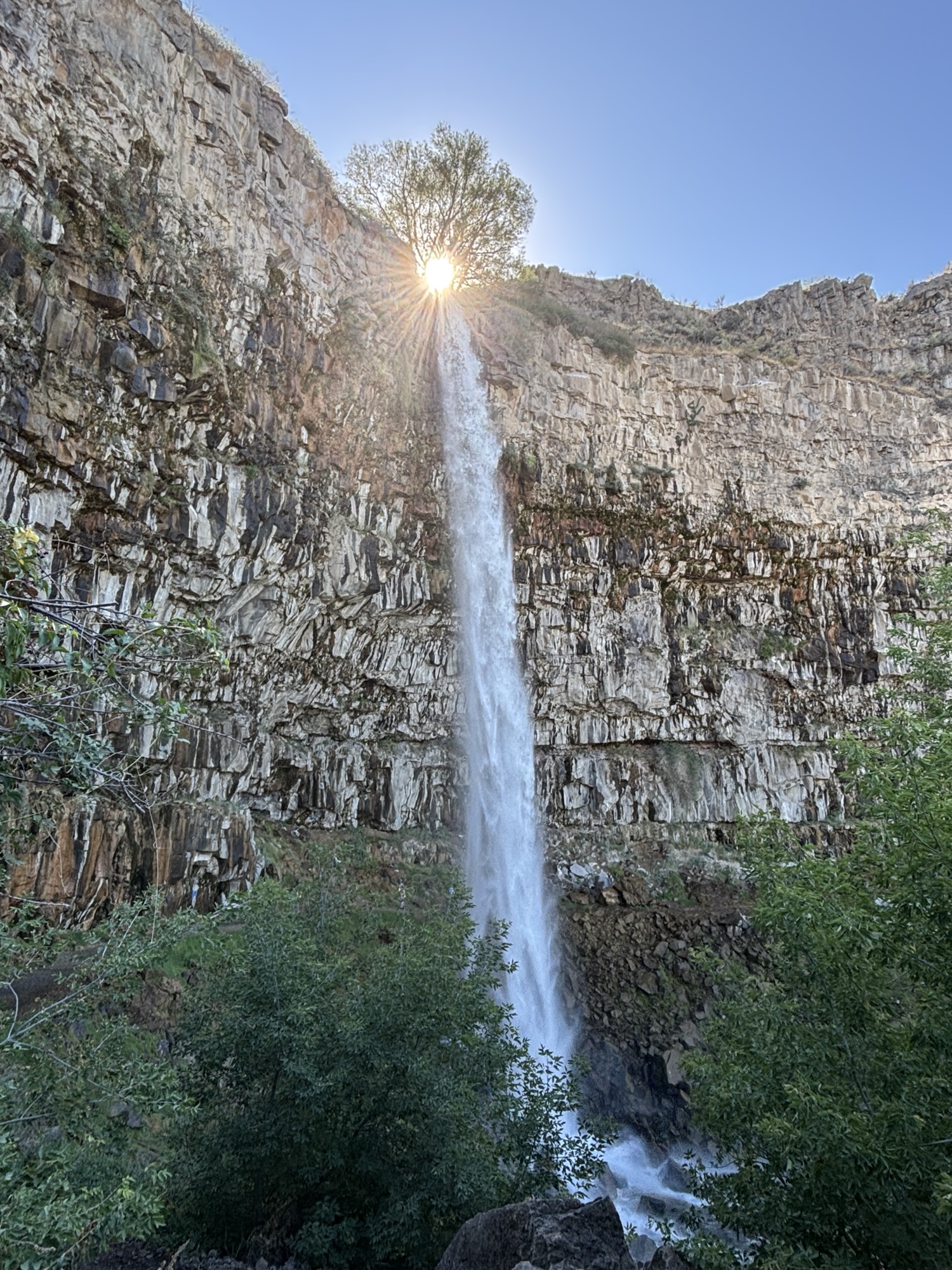
What a great way to end a spectacular summer traveling. We were done. The next piece was to hop on I-84 and head to our old friend, the KOA in Meridian, and get everything prepped for the winter storage back at Precision RV again for the winter! We made arrangements to get a tech to look at a couple of things on the RV and get her washed!! And discussed some service issues on the Jeep with our new friendly mechanic, Matt, at Alltech Auto. And delivered food and Goodwill items to Lisa and Lance. Thank goodness for friends and good people who are always there to help.
Flew home few weeks ago. With so much to do, we just couldn’t finish the posting any sooner. So, until next year —Fair Winds and Blue Skys! See you in the Spring, 2027 for more Adventures with David and Gail.

