
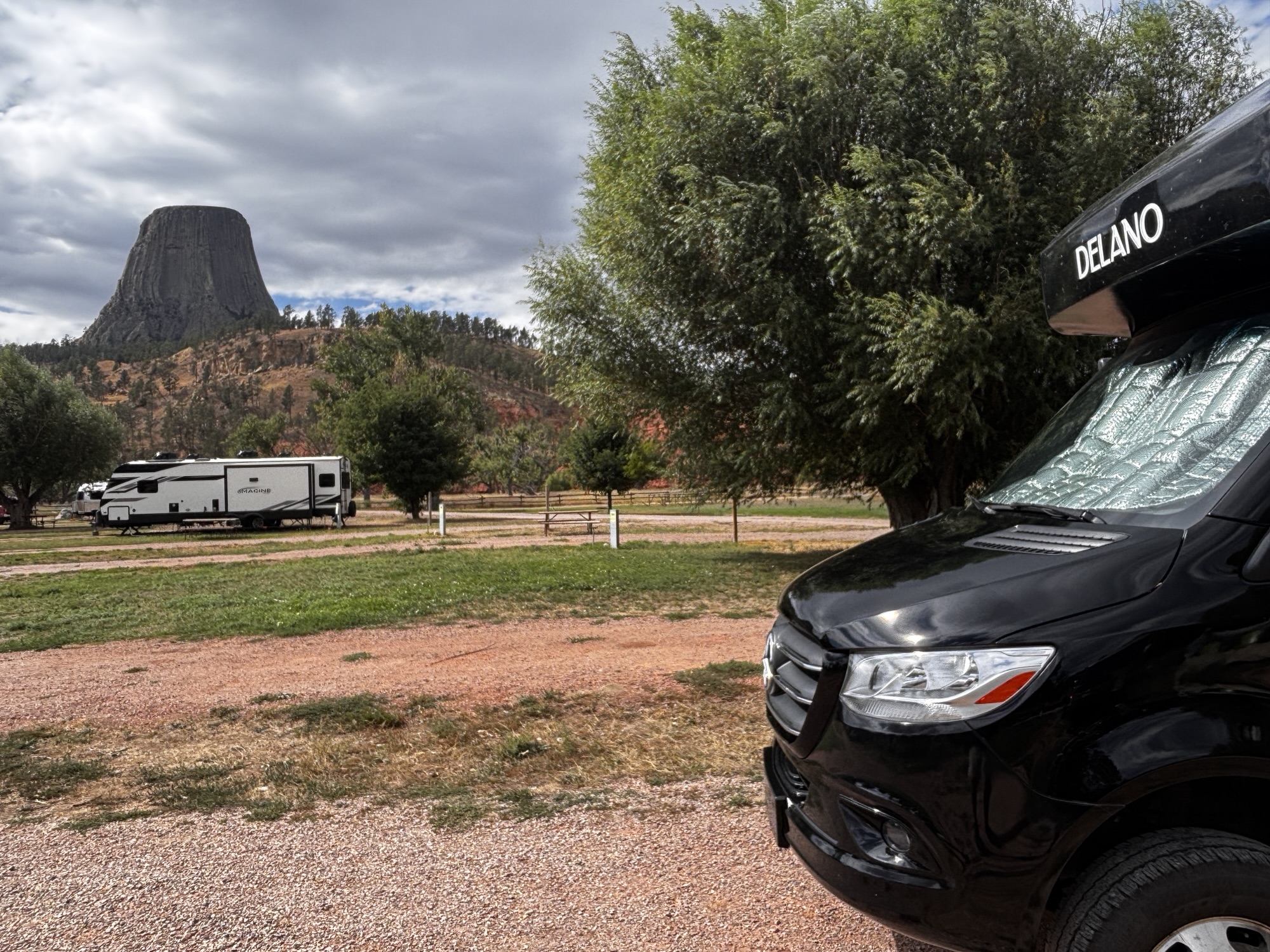
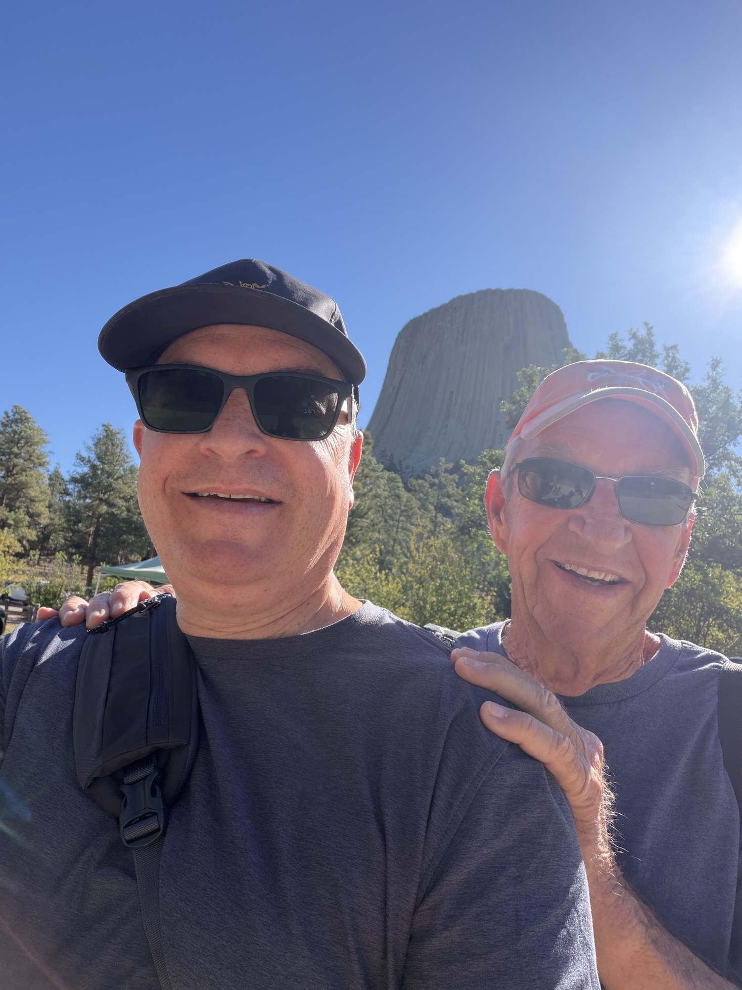
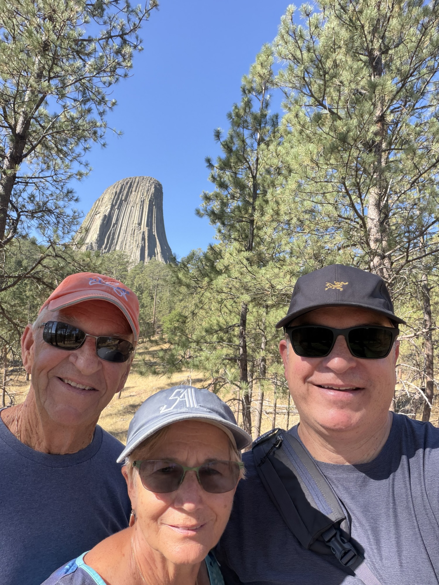
We left Deadwood and headed across the border to Wyoming. This would be Gail’s 46th state so we are counting them down. And our next stop was only 78 miles away. We were stopping to see Devil’s Tower National Monument. Again, going back to when I lived in Rapid City, my family drove over to see the tower. I think was at scout camp, so I missed it and have always had it on my “must see” list all these years.
And, to top it off, my son, Joey, adjusted his schedule to come visit. It has been on his “wanna’ see” list and Wyoming would be his 50th state.
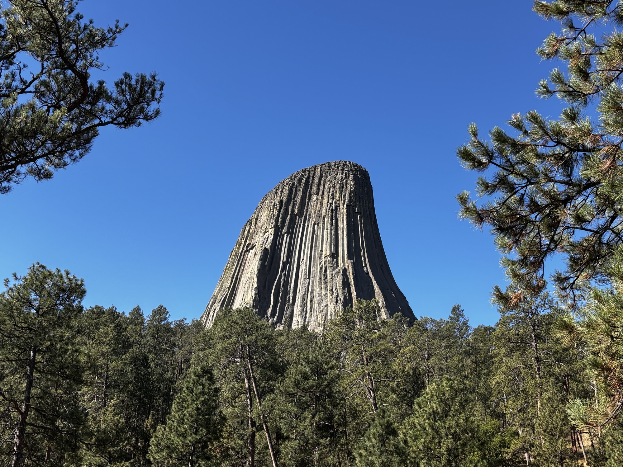
Devil’s Tower (the park) was the first United States national monument, established on September 24, 1906, by Theodore Roosevelt. Although not in South Dakota, it is still considered part of the Black Hills.
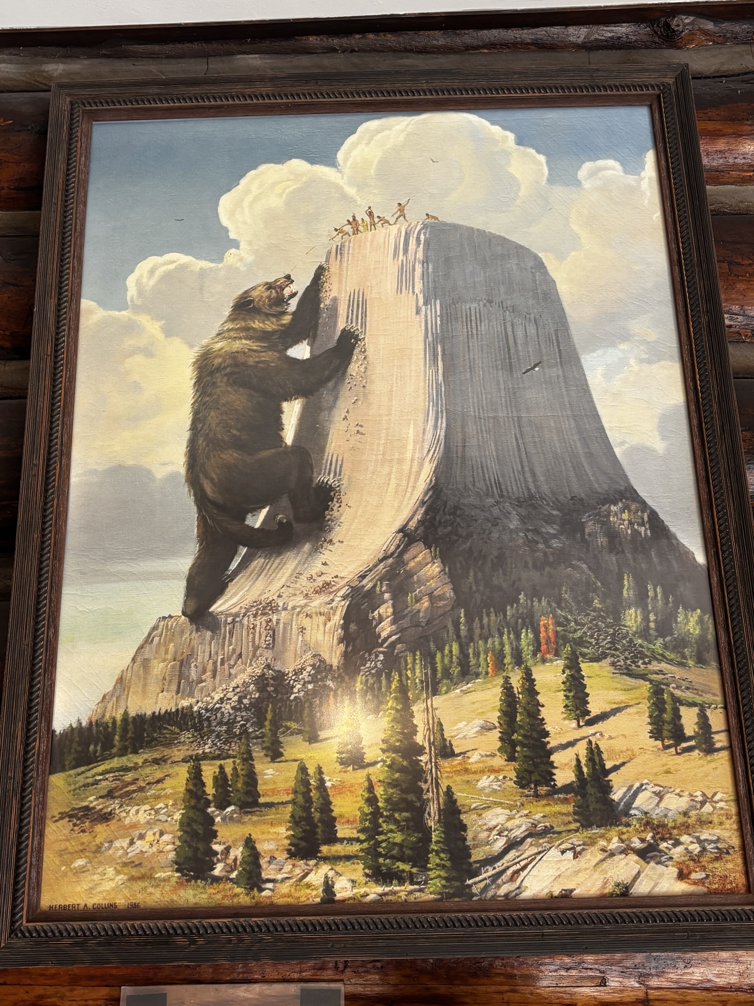
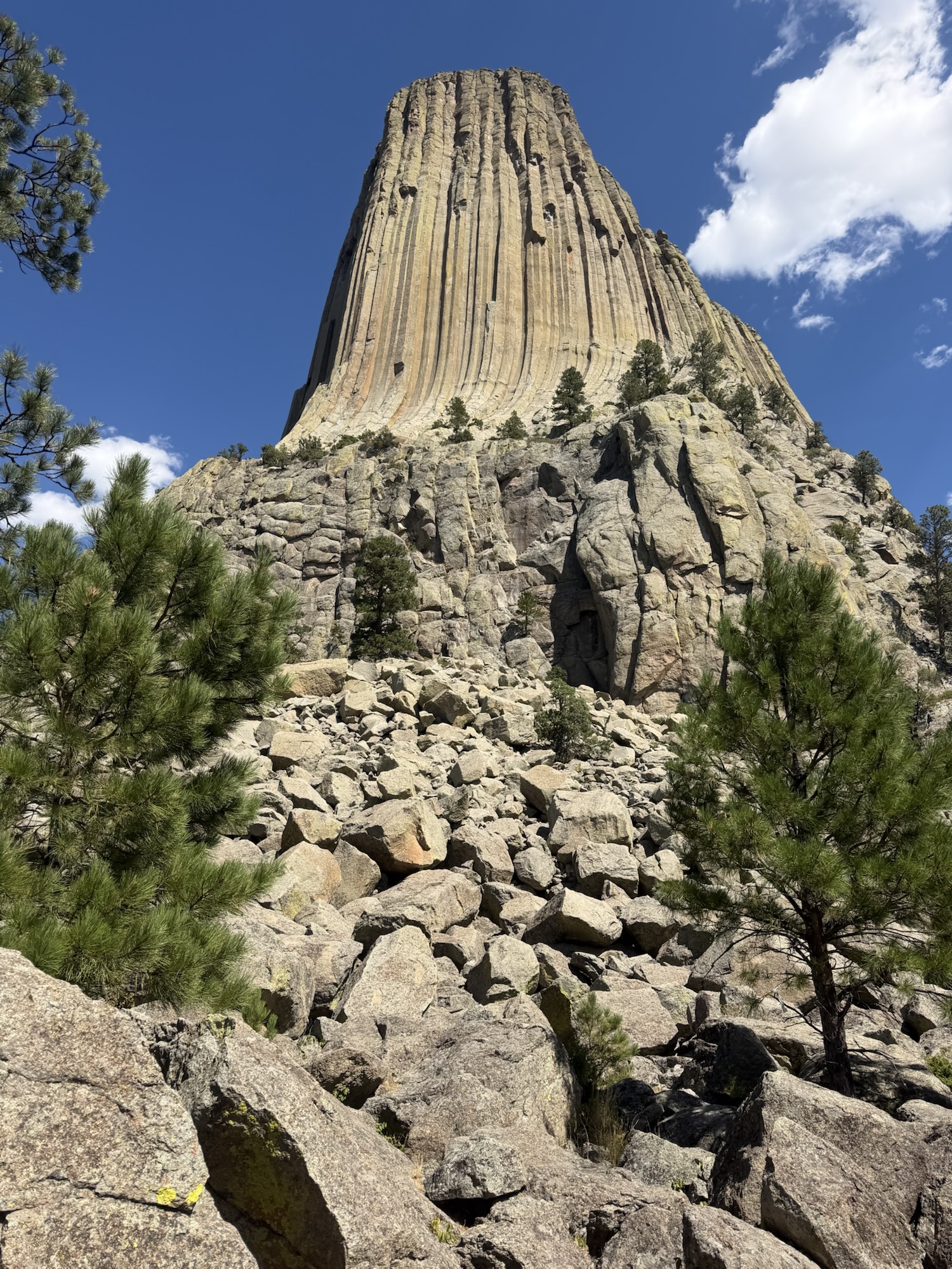
One of the original stories (simplified of course) of the formation told by native tribes was that a huge bear was chasing them and they asked the spirits to help. Slowly the ground began to rise and the bear, with its huge claws tried to climb the wall and scraped gashes in the rock. The warriors were able to slay the bear, but the claw marks remained.
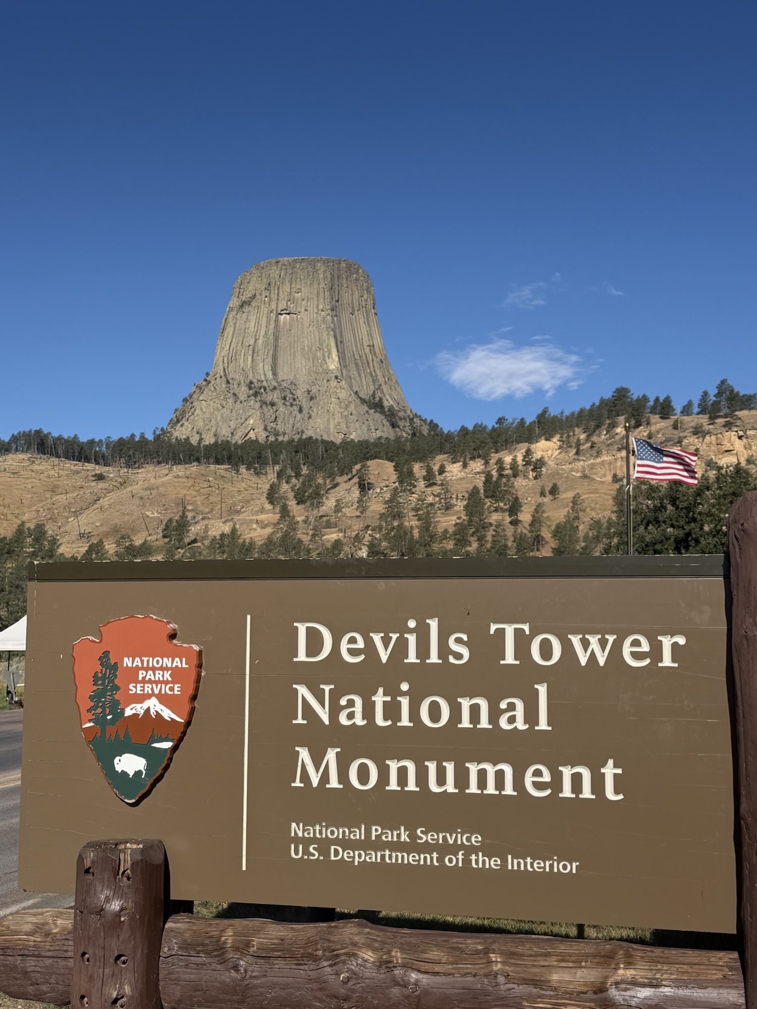
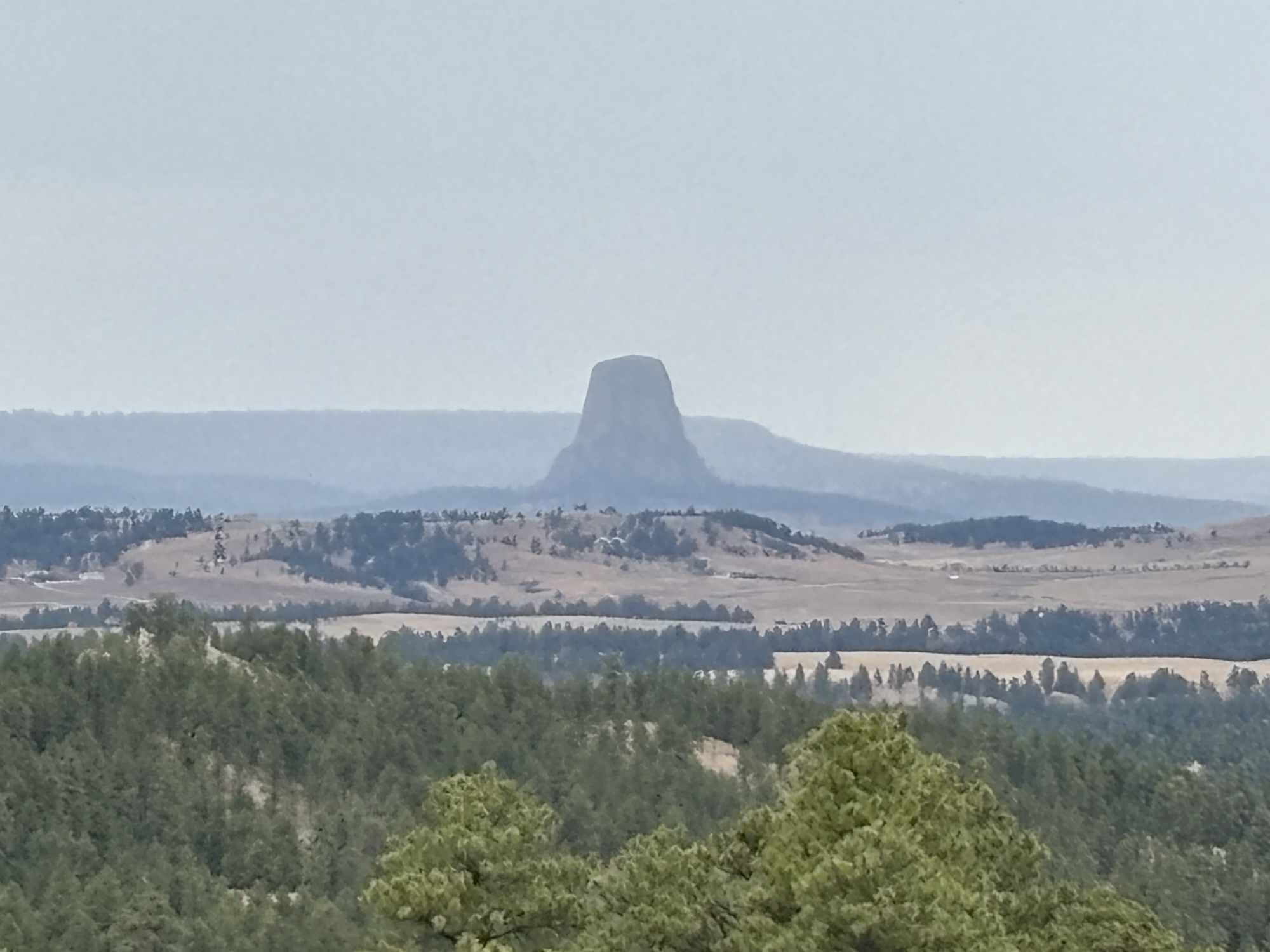
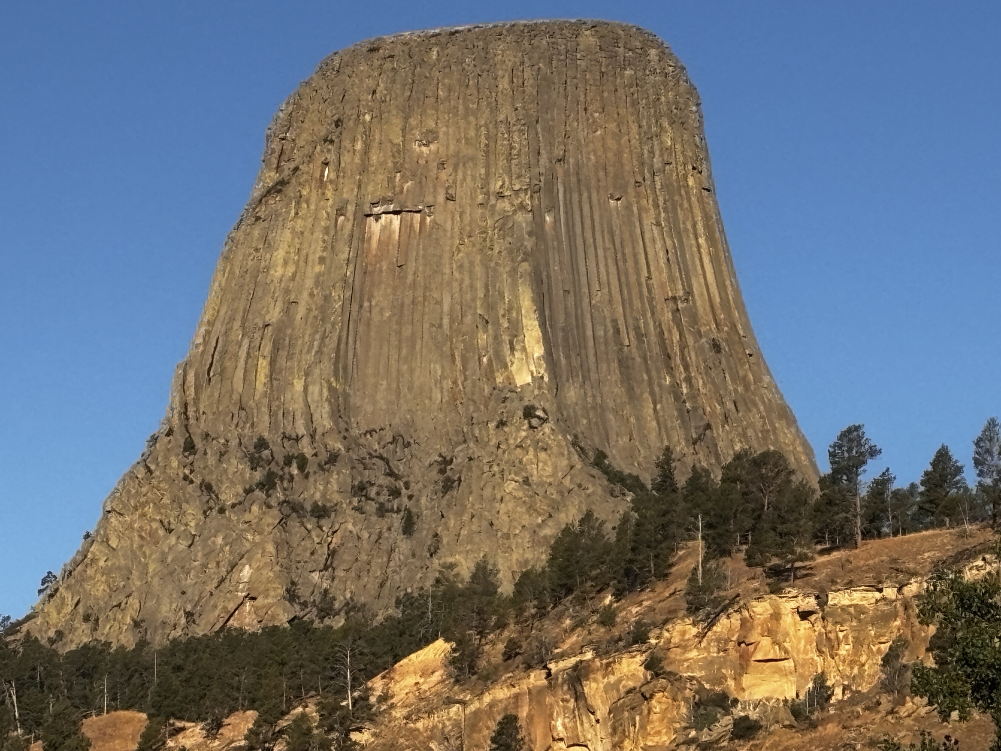
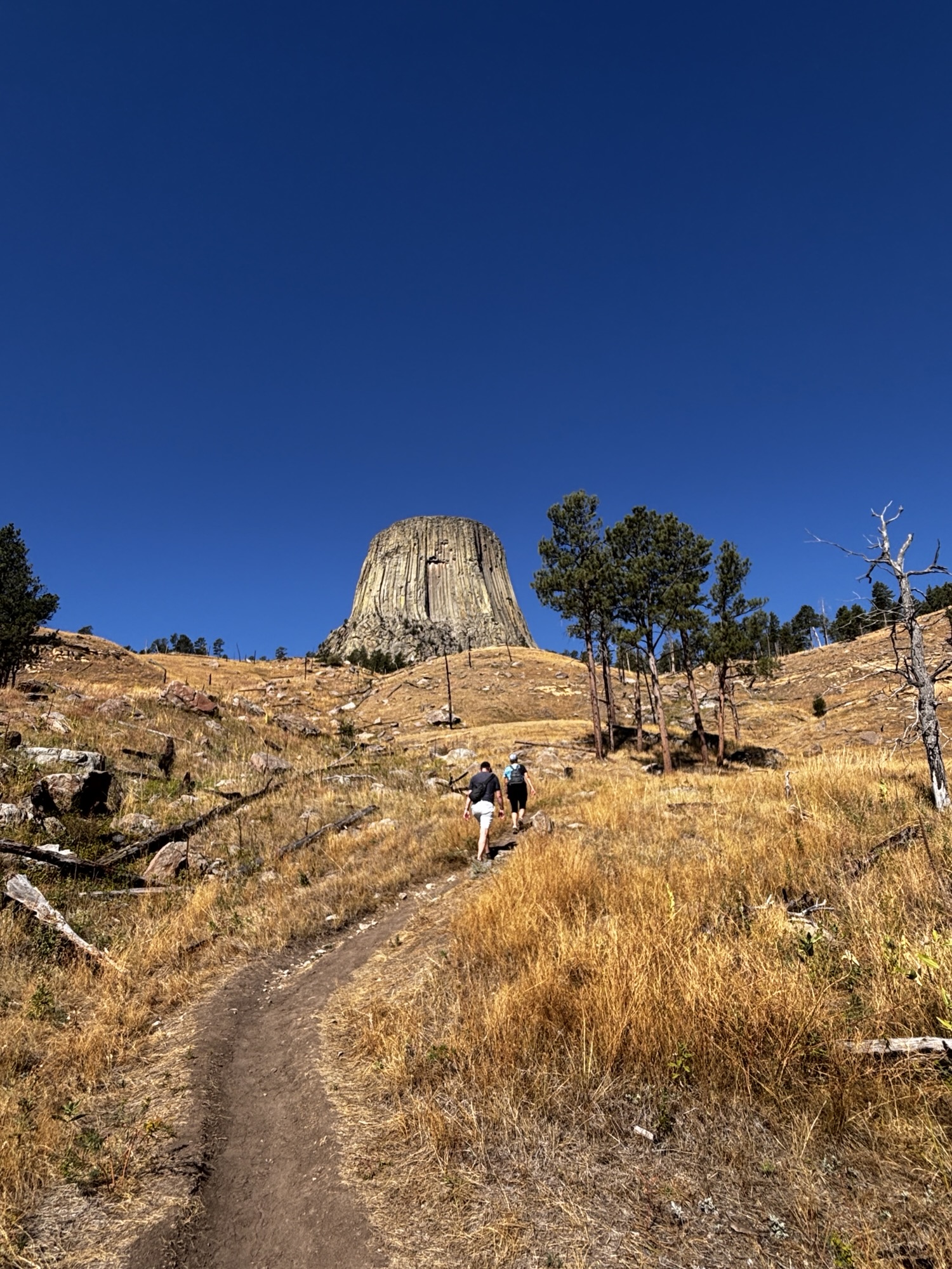
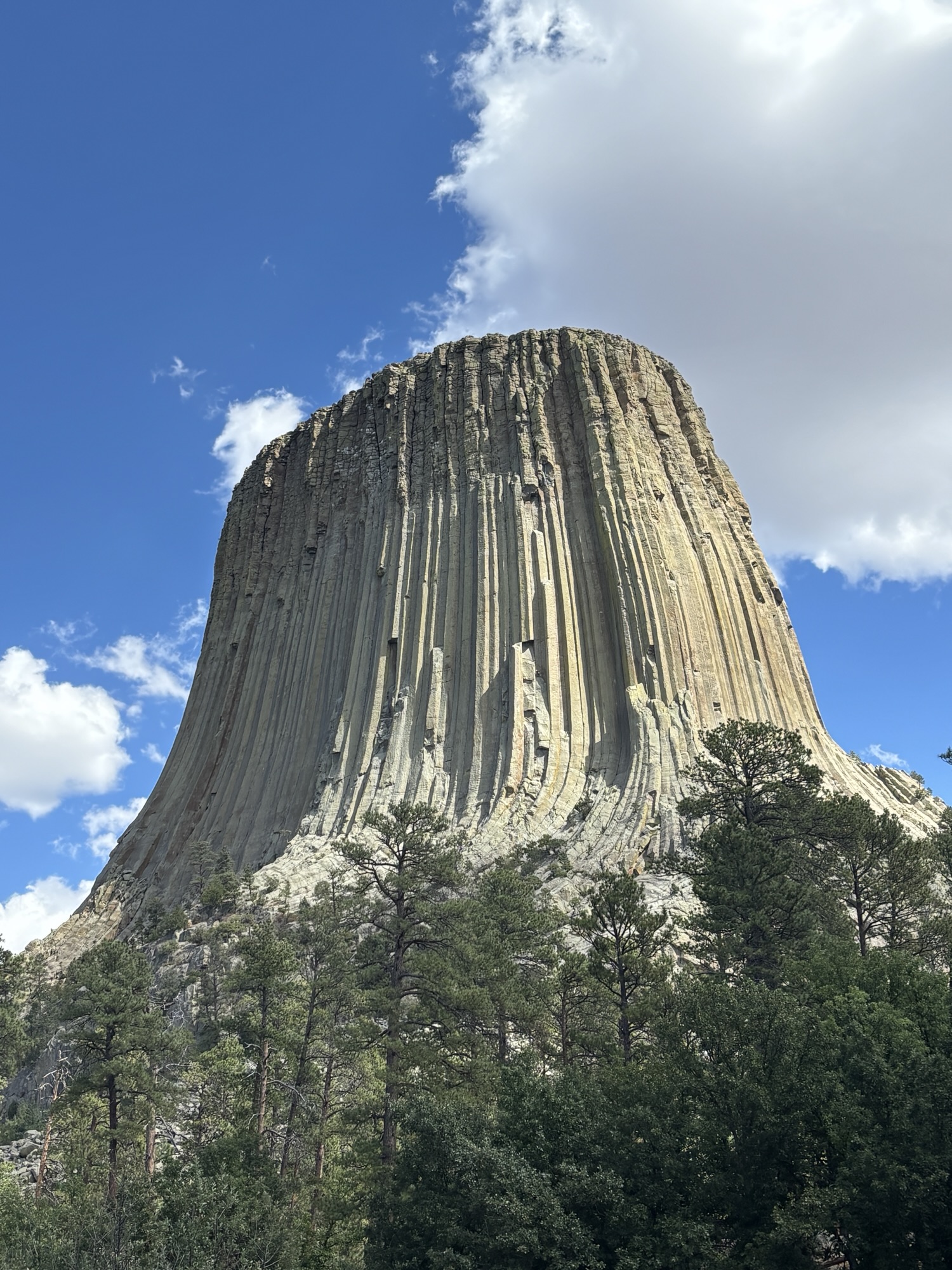
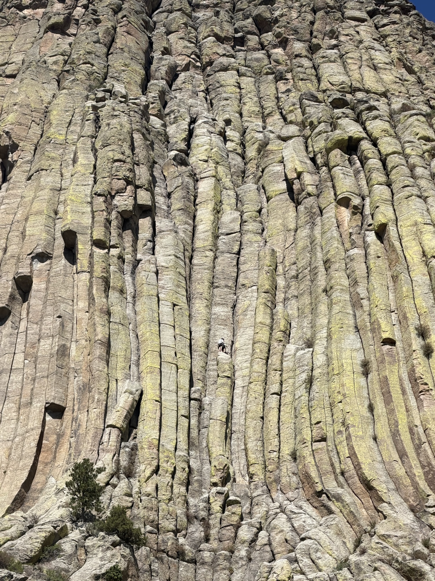
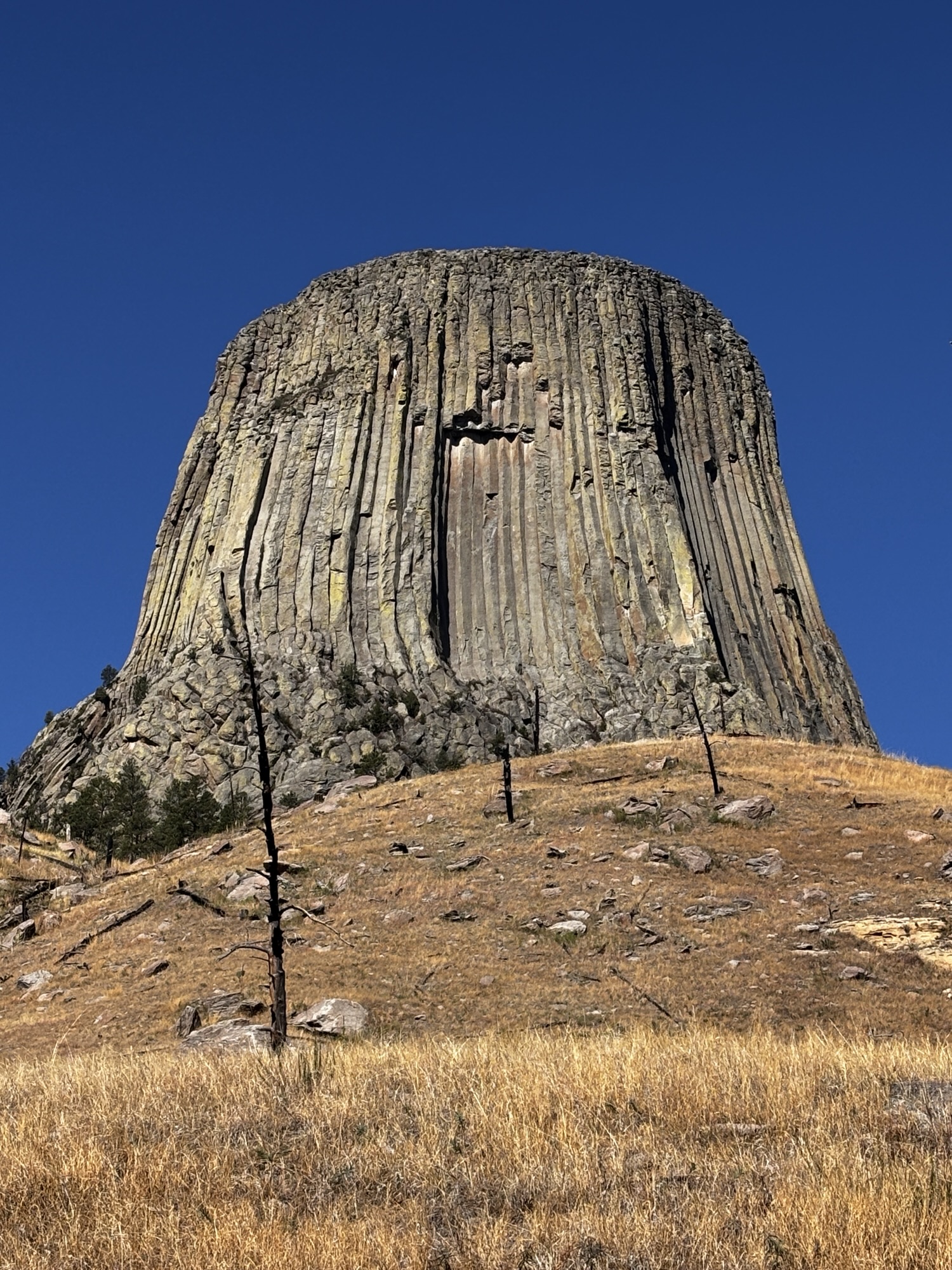
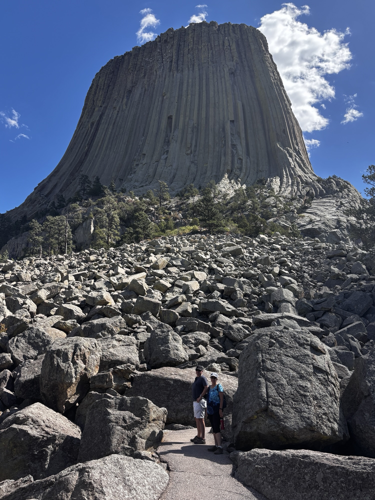
The tower itself was actually formed as an upward magma flow that never made it out of the volcano cone. So, the lava solidified and over the years the surrounding soil eroded and left the tower standing. At 867 ft, it is 1 ½ times taller than the Washington Monument. It is an imposing natural structure.
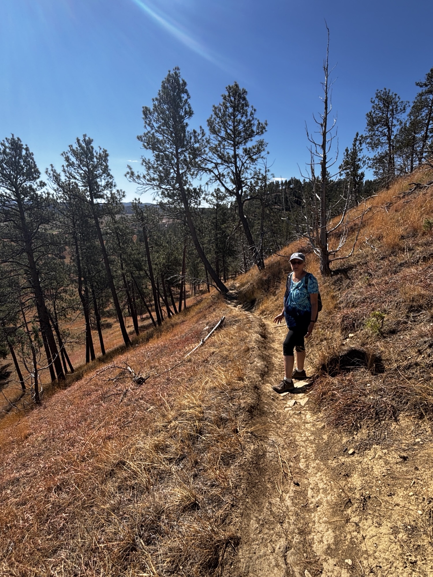
At the tower, you can hike around on two trails. One is longer at 2.8 miles, and the trail goes lower so you get a wider view and see the rock piles, the base structures and the red clay layers. The shorter one is 1.5 miles and is right up to the base, so you look up to the top. We decided to do both. And you are allowed to climb the tower. We saw several climbers on their way up and some on the way down. It is breathtaking to watch them while you take in the tower itself!
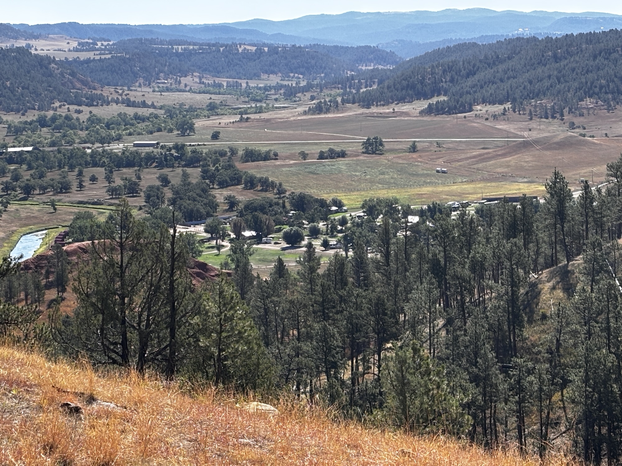
After having a great dinner out with Joey, we settled in the RV park which is located near the tower. We had asked for a pad with a view of the tower but got a great view of a big tree instead. We did get the RV positioned as best as we could so that we could get past the tree to see the tower and took our photos! Joey left before sunup the next day to make his flight back from Rapid City and we left later in the morning for our next stop. It was great to have the time to visit and do the hikes together!
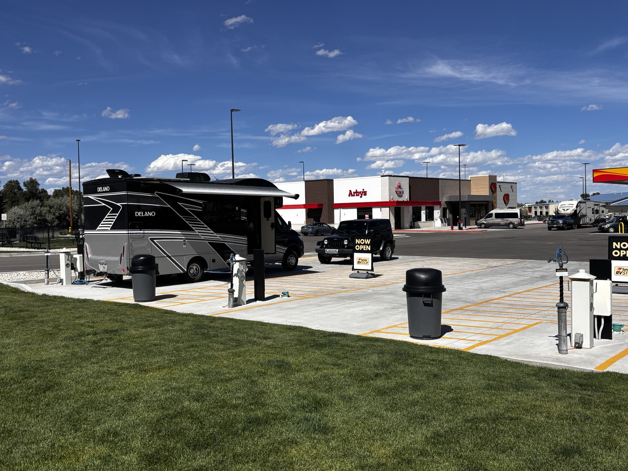
Buffalo, WY was our next stop for just one night. And it was to be a somewhat unusual stop as we had a reservation at the new Love’s Truck stop along Interstate 90. We had never stayed at any truck stops so far but this one was about halfway to Cody, convenient and unique. It had full hookups for 3 RVs and a concrete, level pad. And as it turned out, it was quieter than you might think although some of the trucks were noisy with their engine braking and big exhaust pipes! The diesel though had just gone up over $6 per gallon so that wasn’t expected!
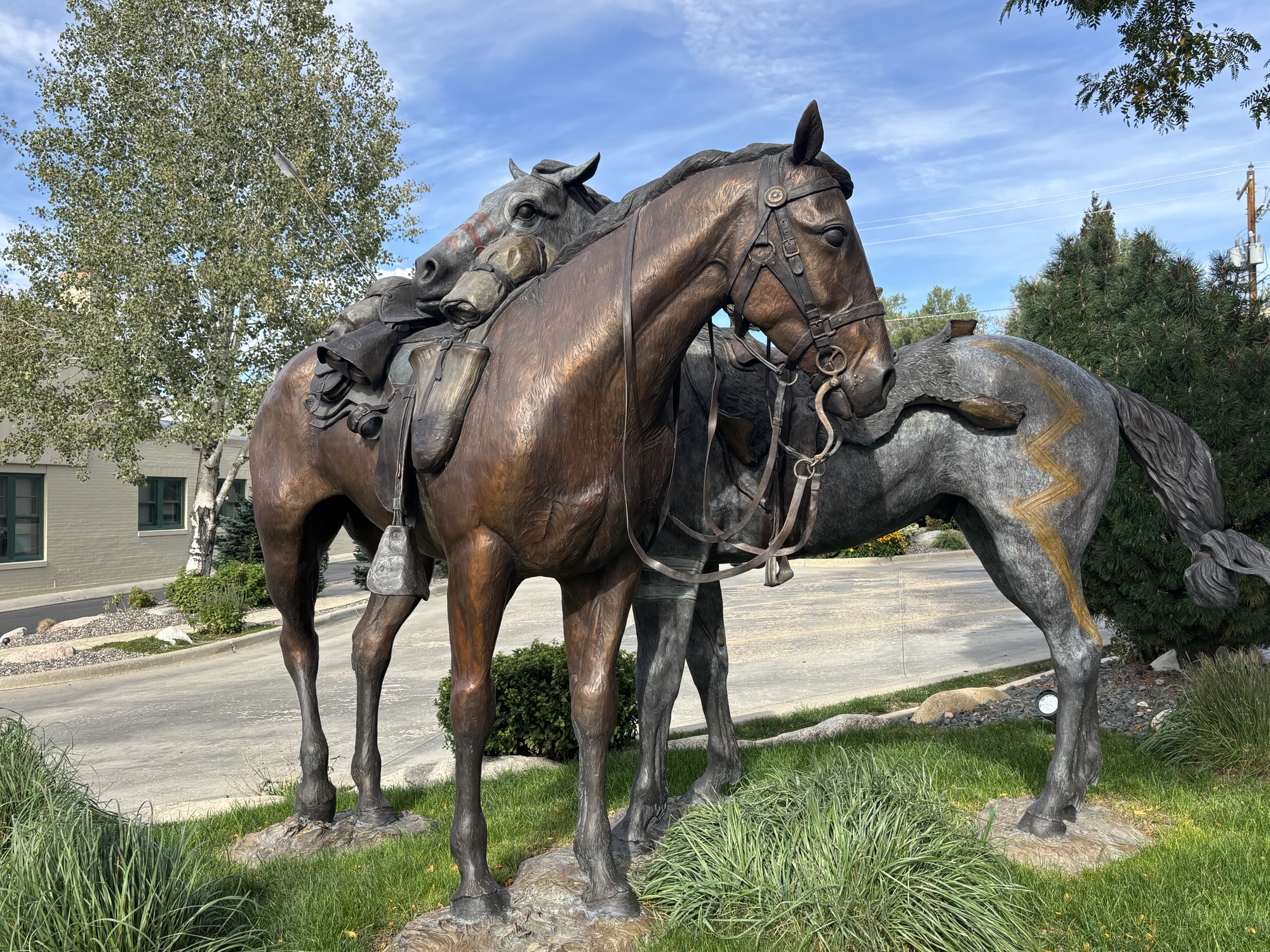
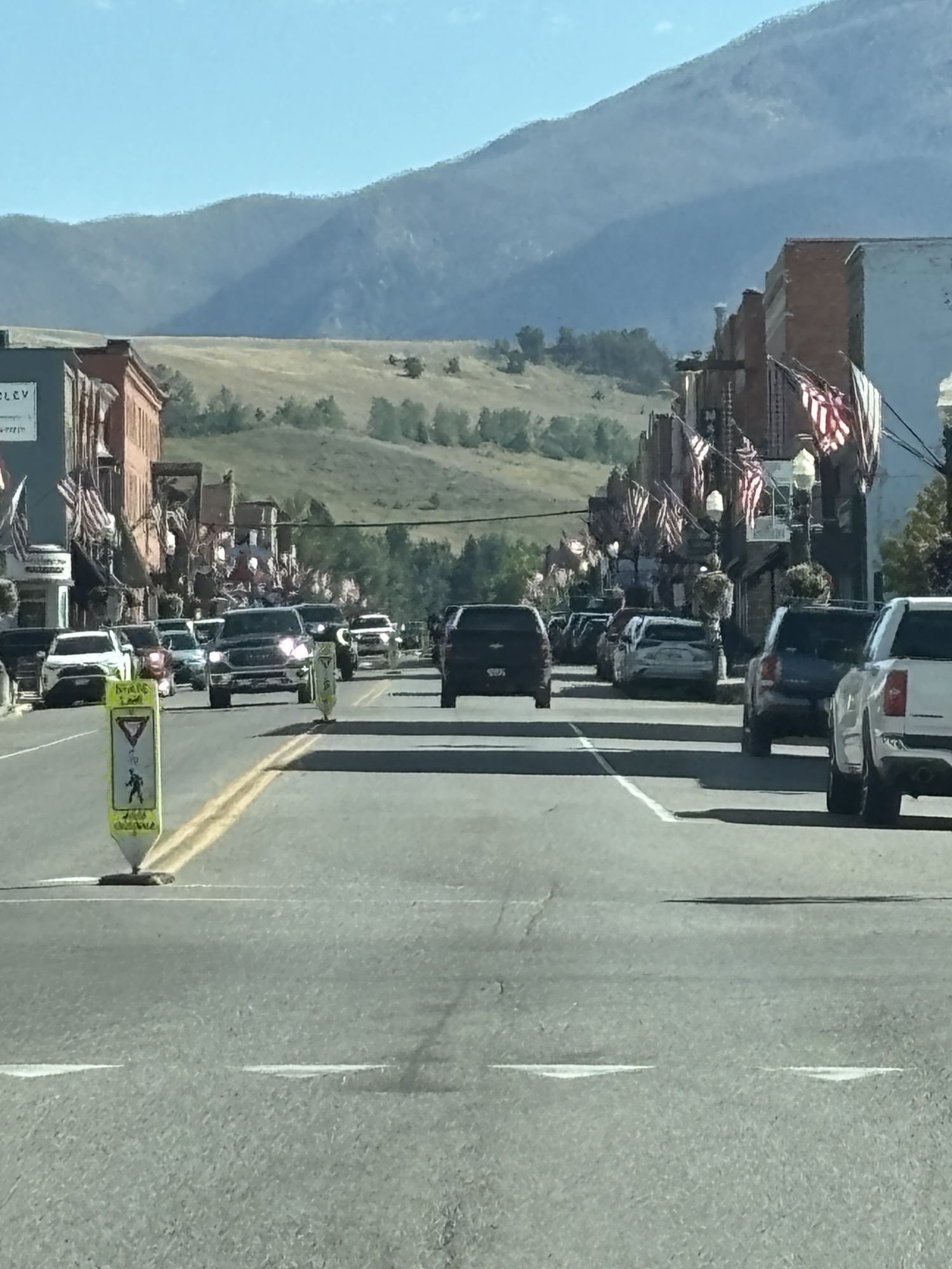
Oh! The electricity was out in that part of town when we arrived for some reason. So, we turned on the trusty genset (which we almost never use!) and at least had A/C until the power came back on after about an hour! With some extra time, we went into downtown for a looksee! Gail did some shopping and we took pics of some of the murals and sculptures. All in all, a nice stop and very nice and clean Love’s!
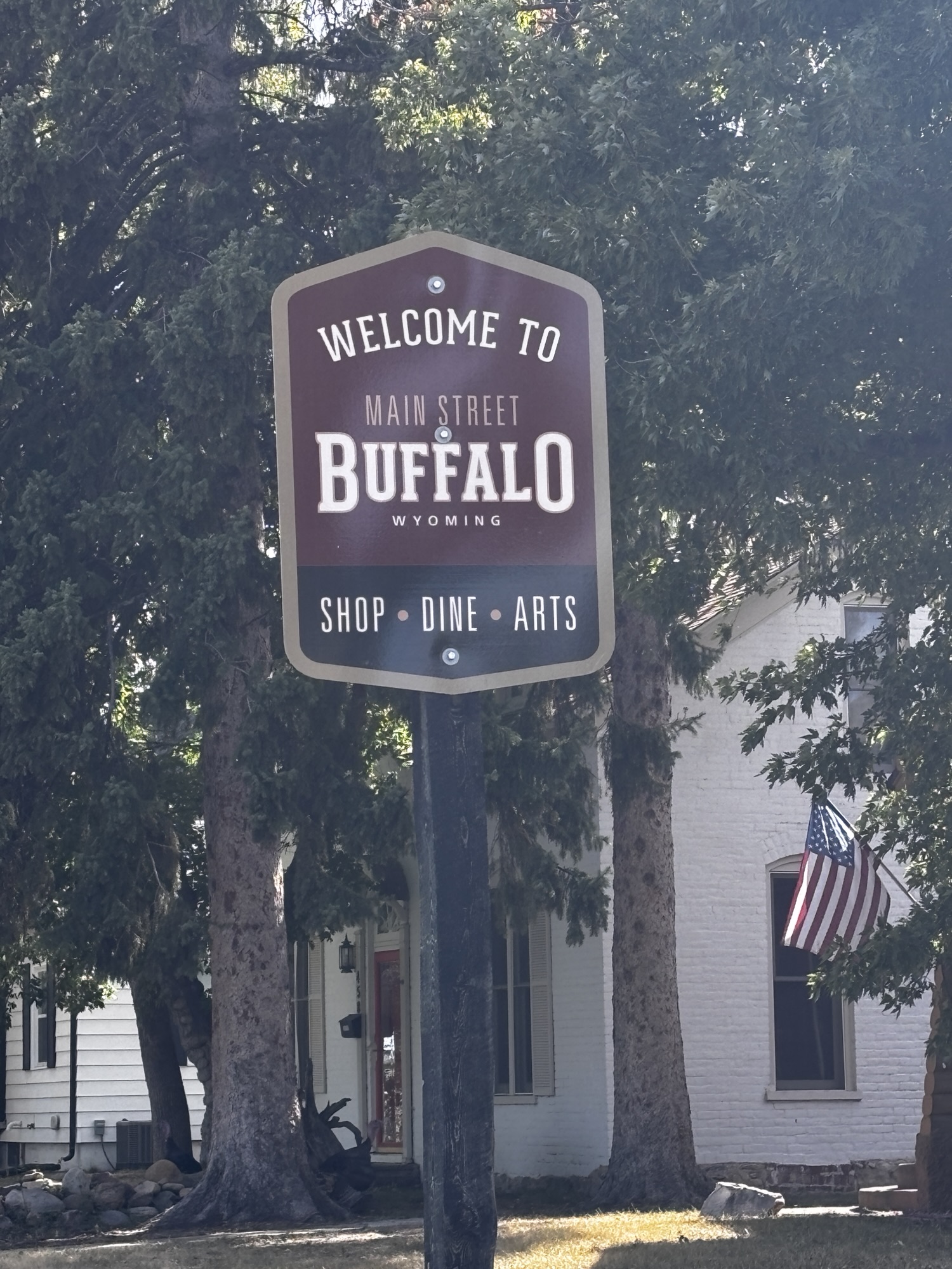
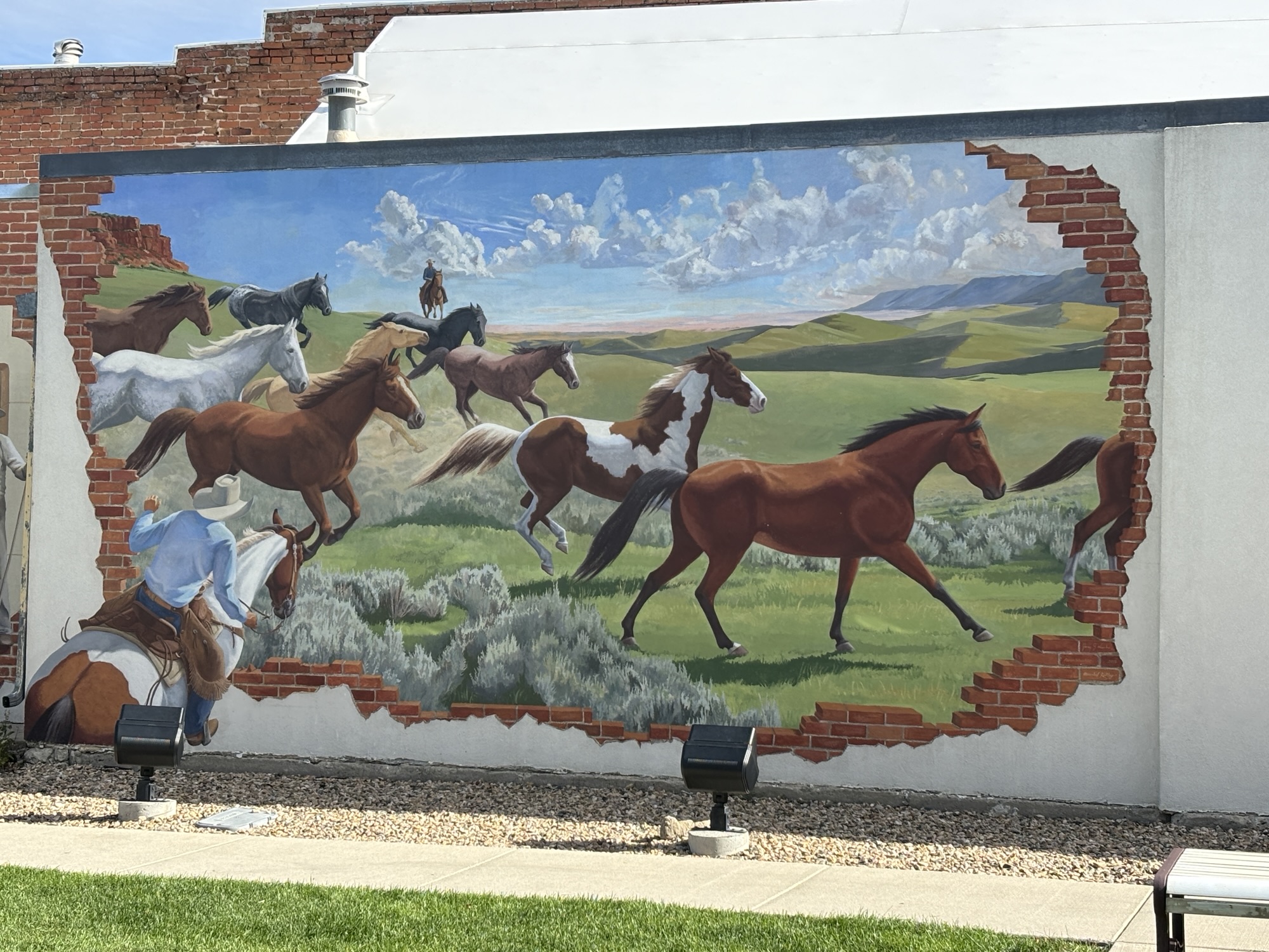
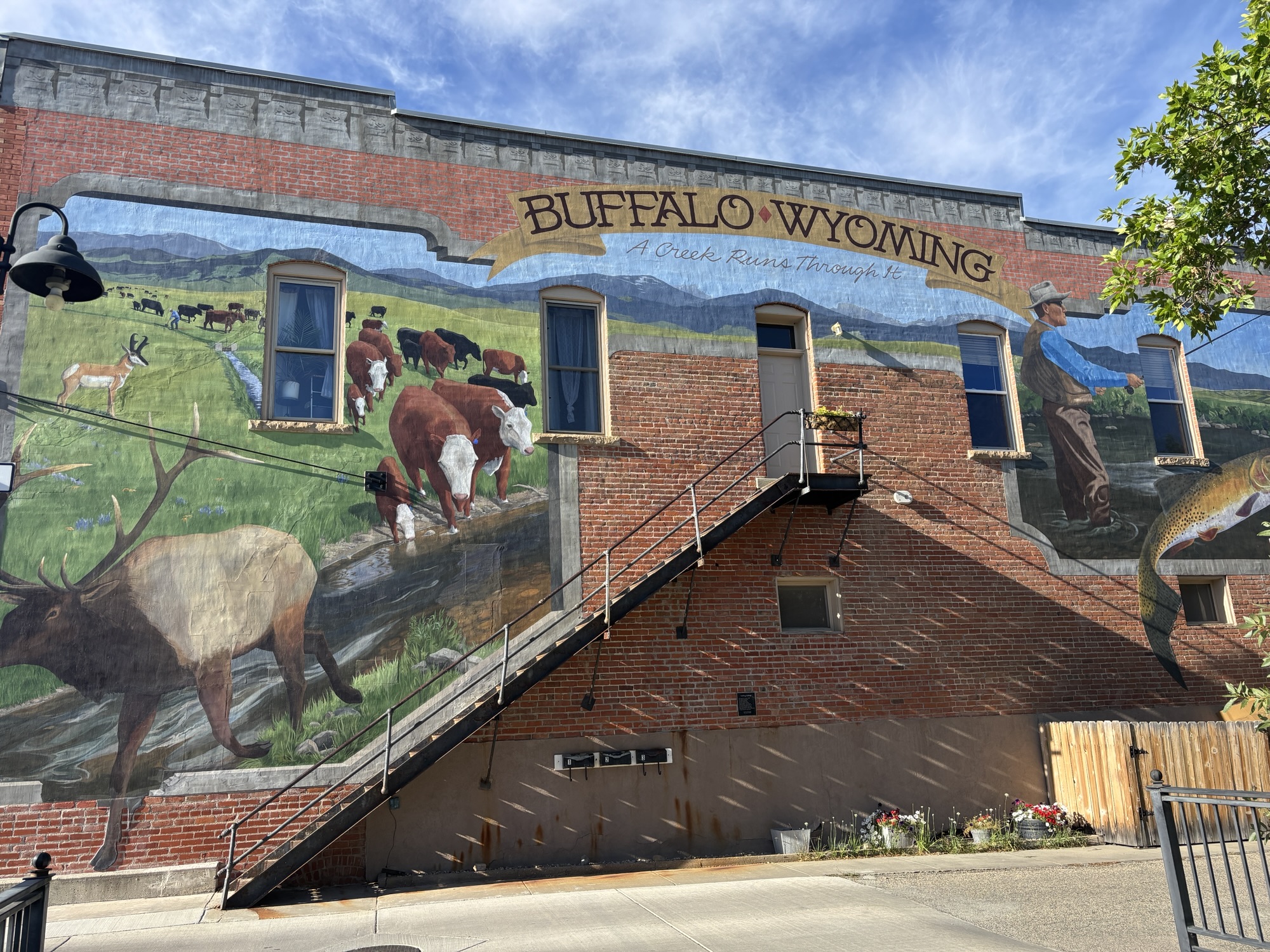
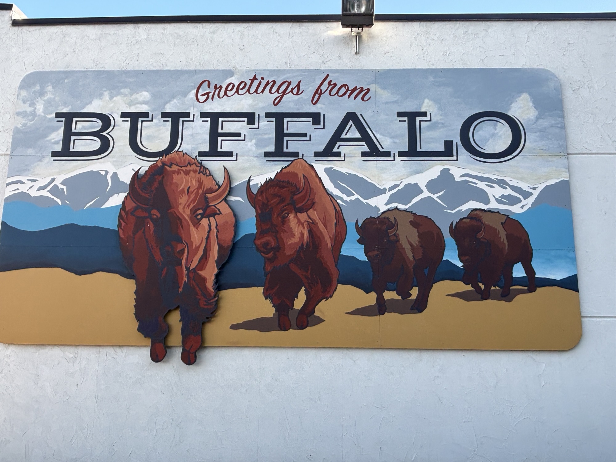
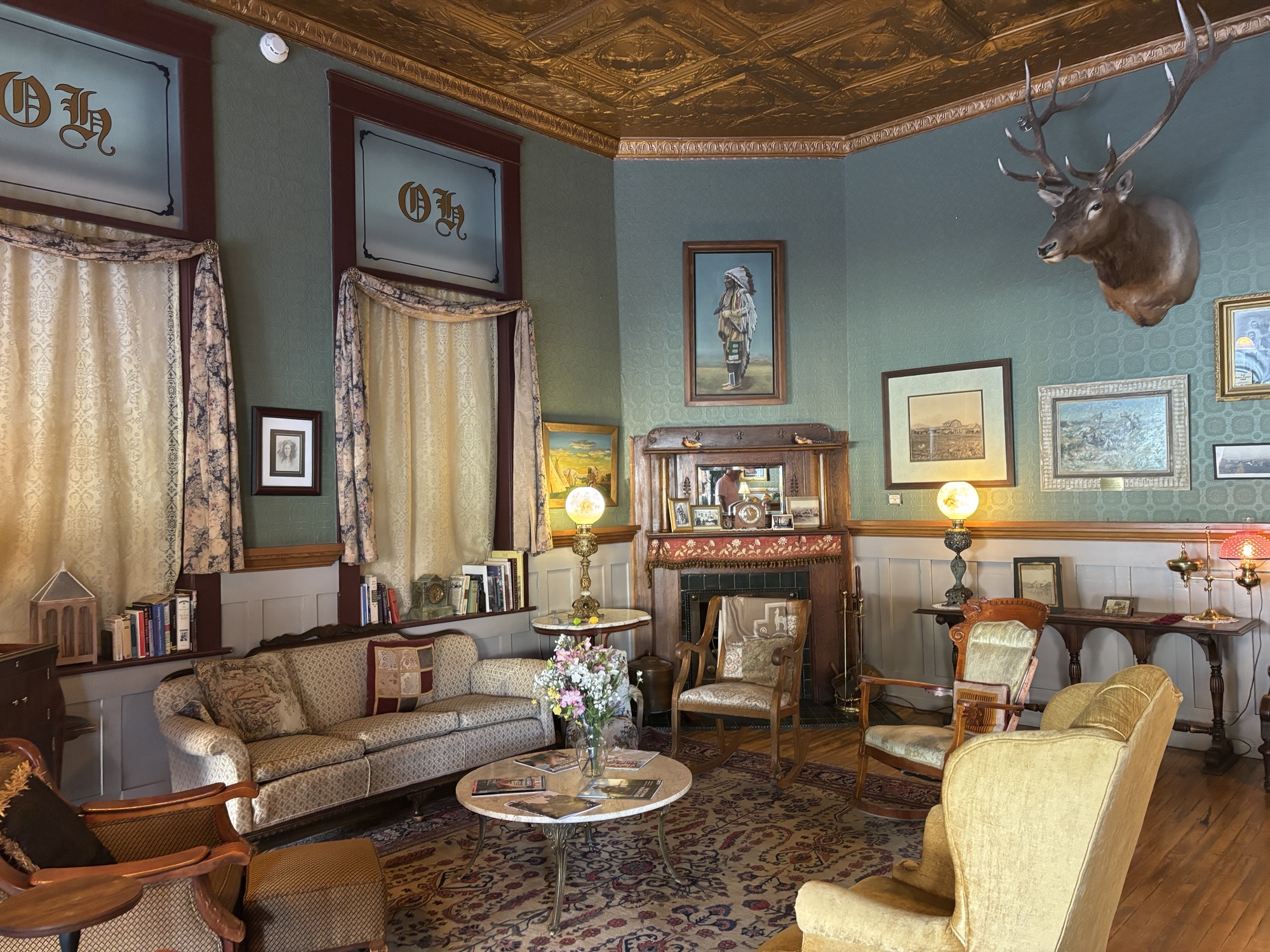
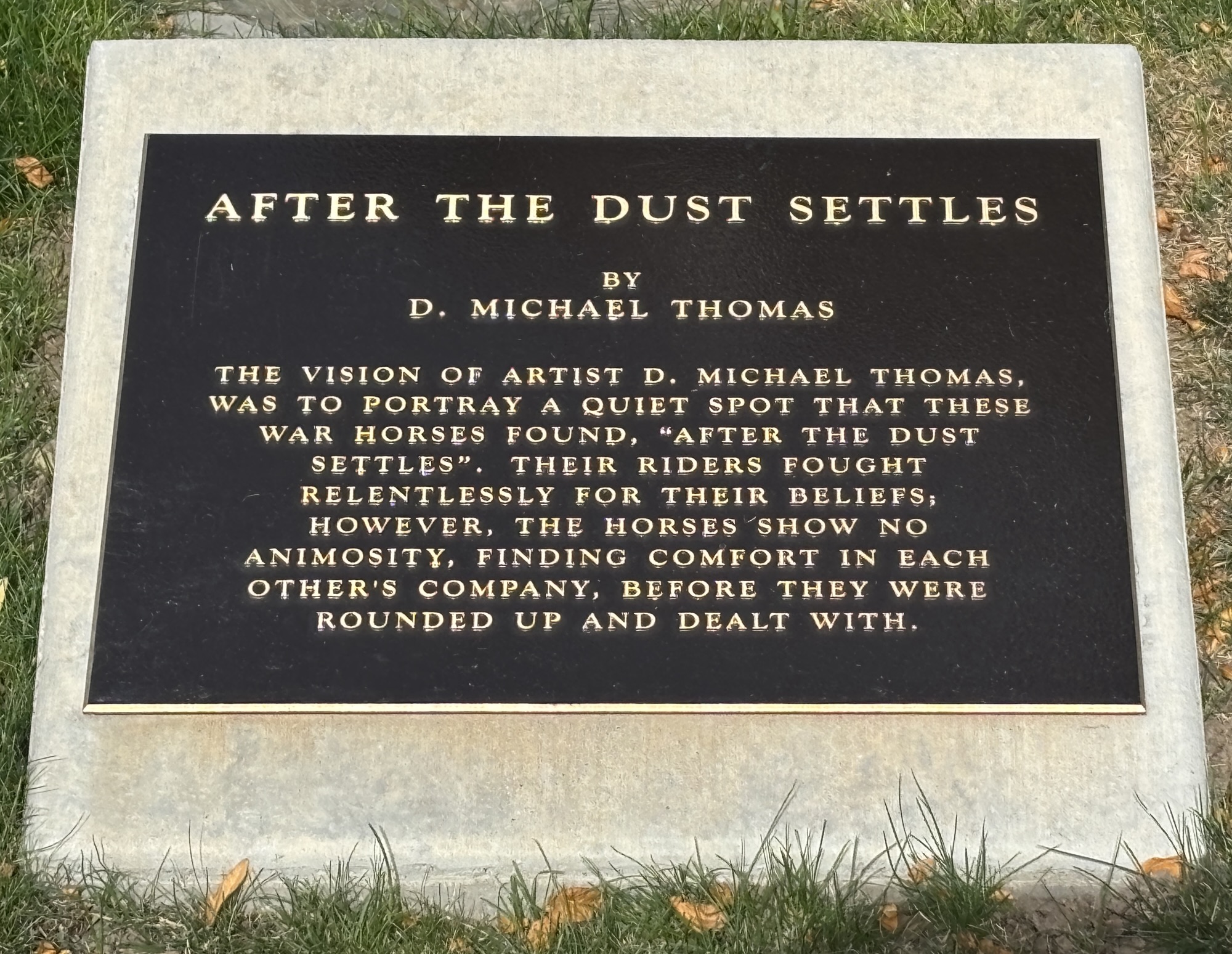
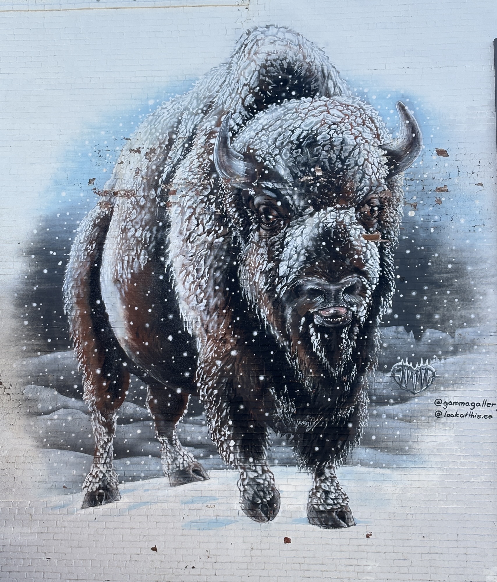
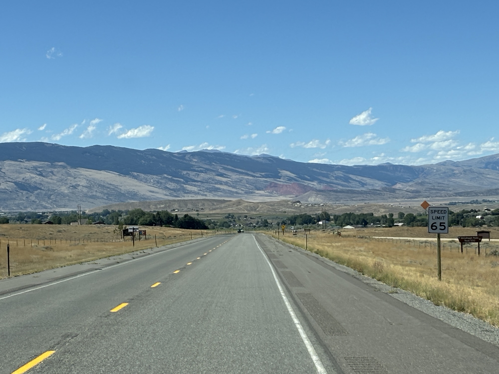
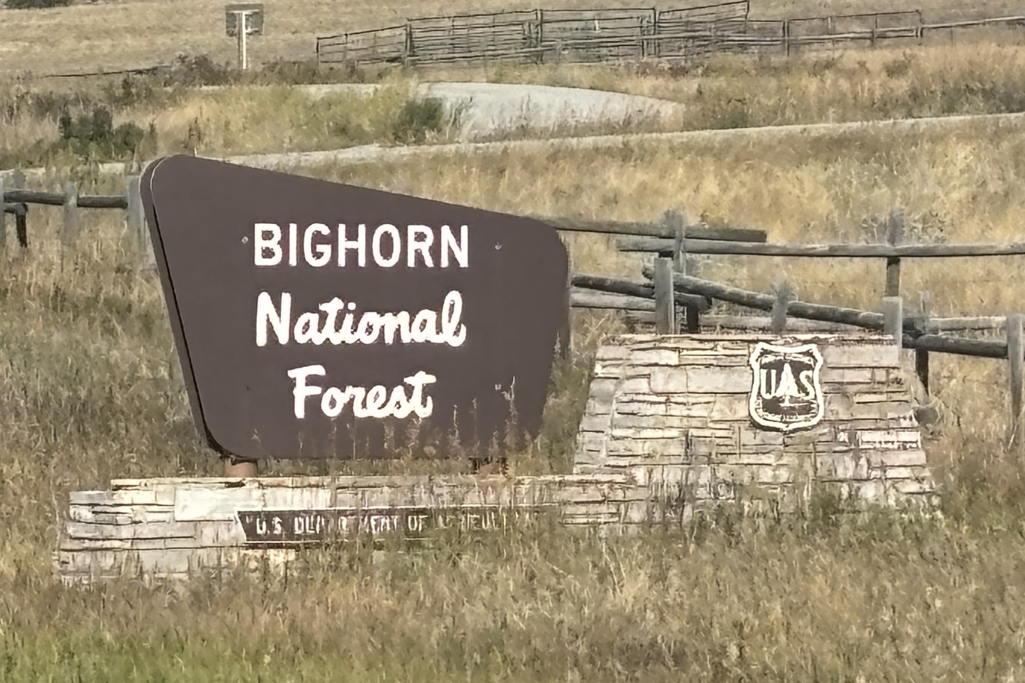
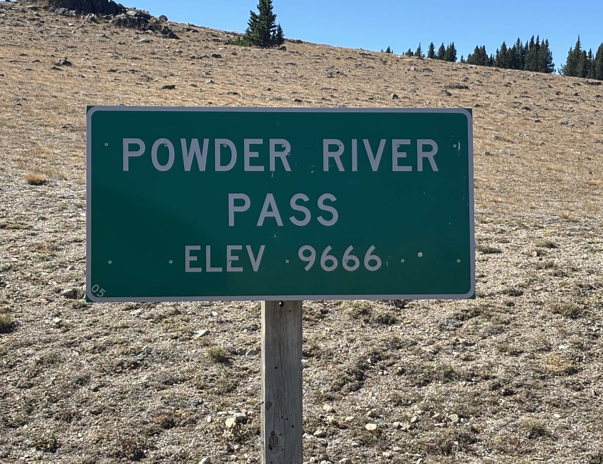
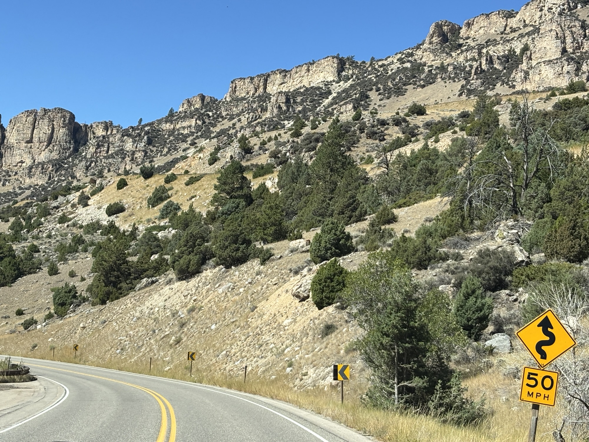
The next morning, we were off again on US-16 headed toward Cody, WY. Immediately we were climbing up the road into the Bighorn Mountains and National Forest. The summit is called Powder River Pass and, at 9666 feet, it the highest point on Hwy 16.
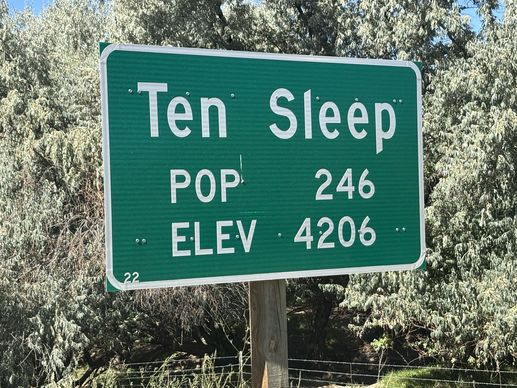
An interesting town we passed was called Ten Sleep. We had to Google the origination of the name. The story is it derives from its location being about “ten sleeps” from other key places. I chuckled when I was reminded about driving distances back in Texas where some people referred to a long drive by the number of beers it took, as in “six beers”, to arrive!
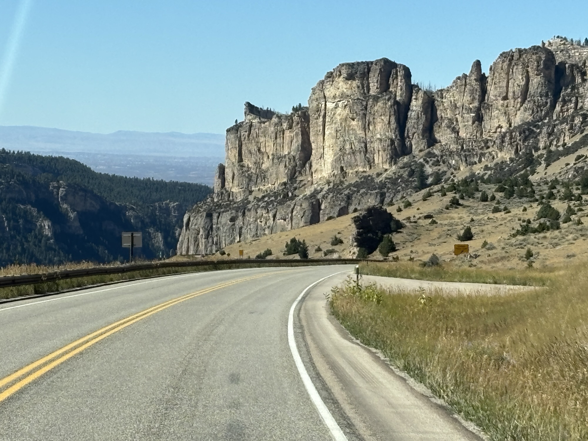
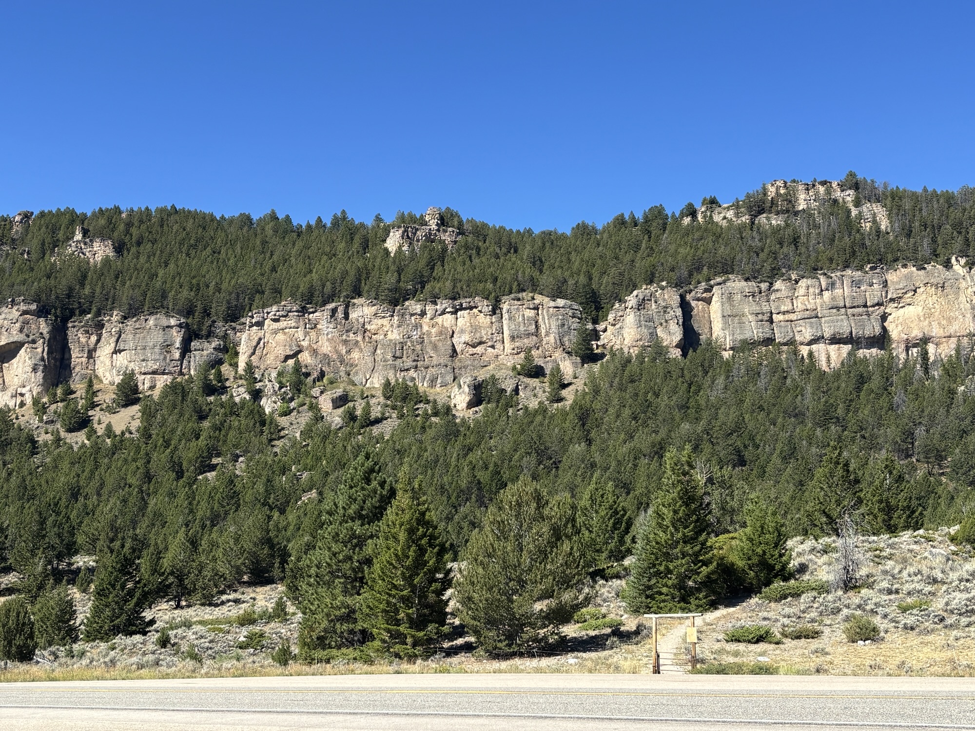
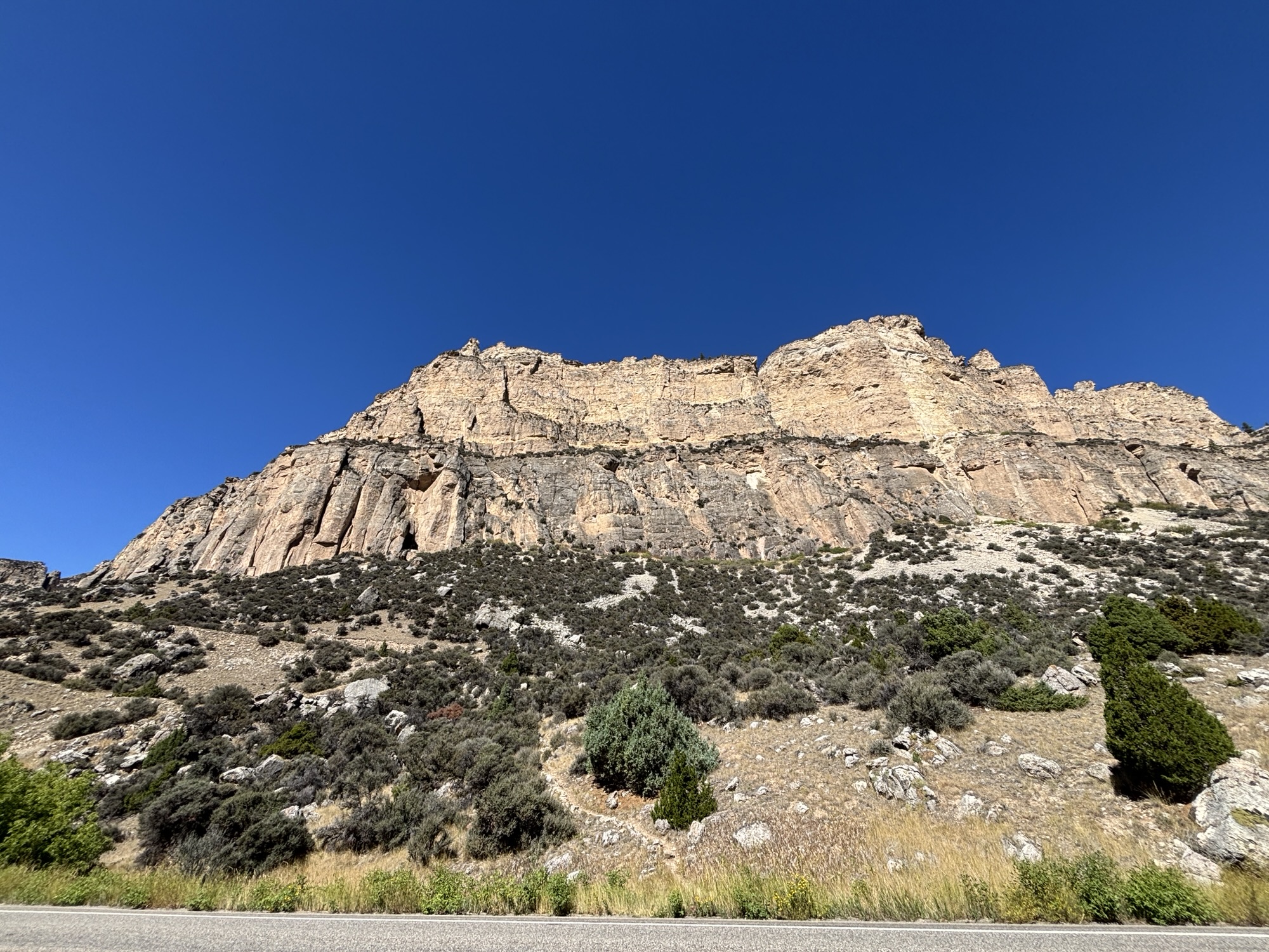
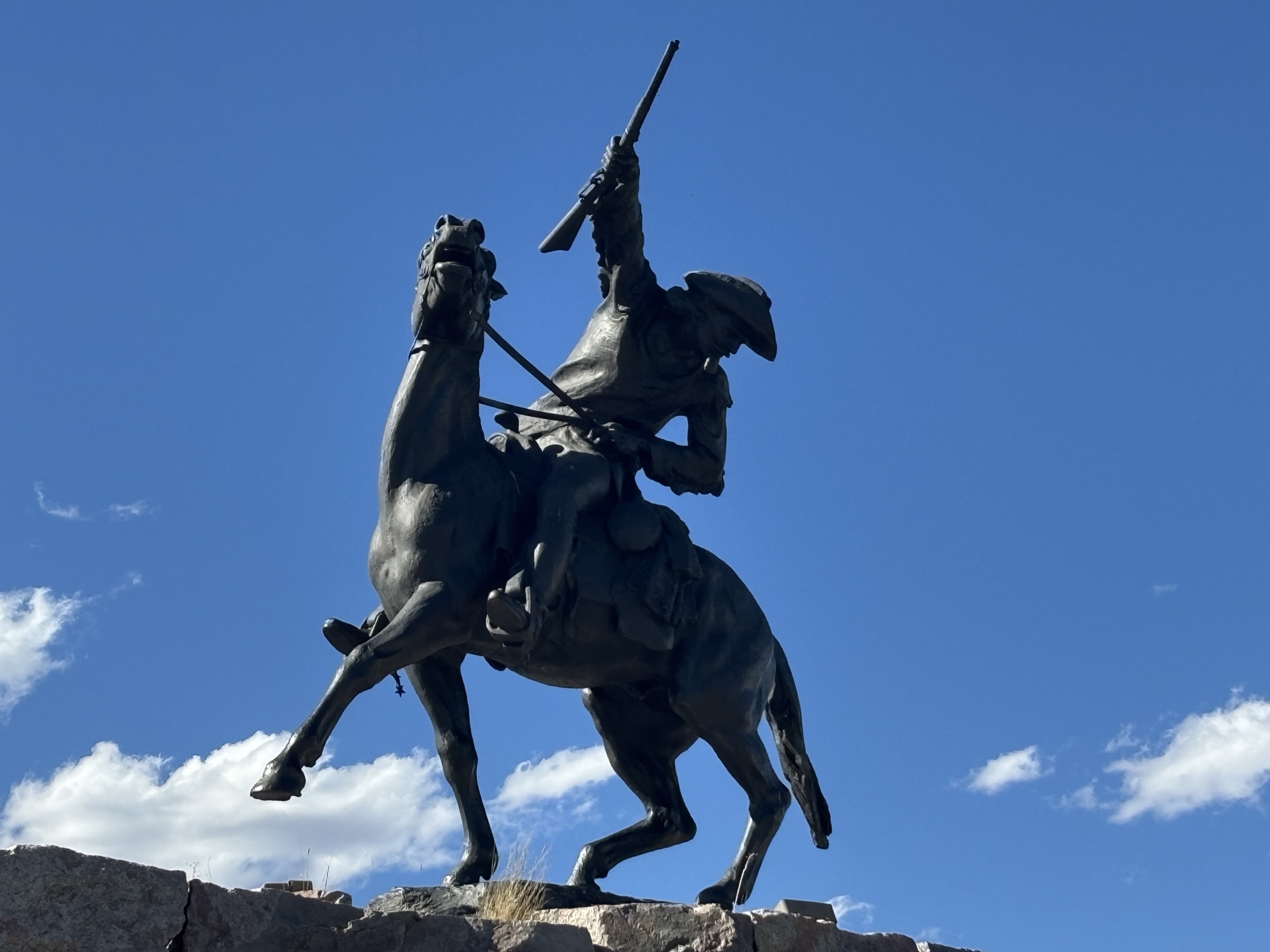
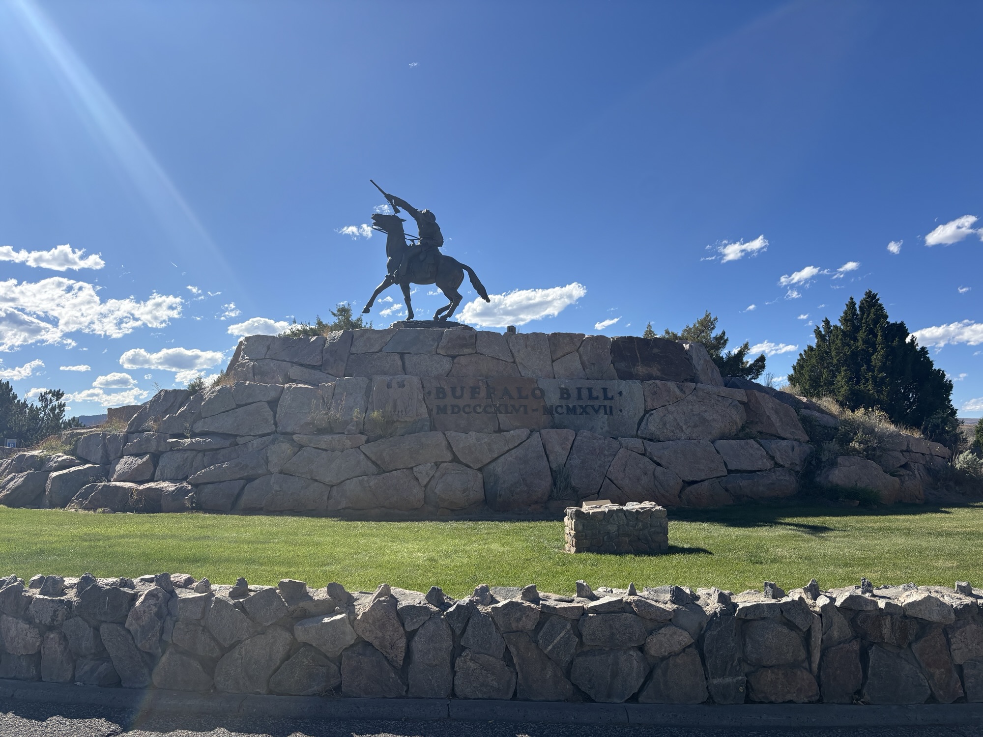
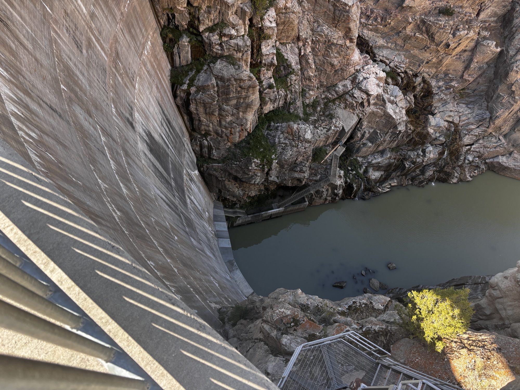
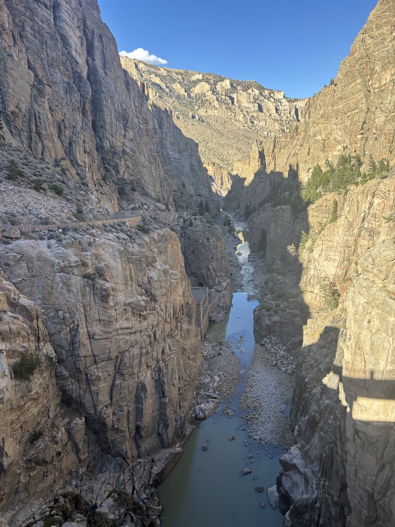
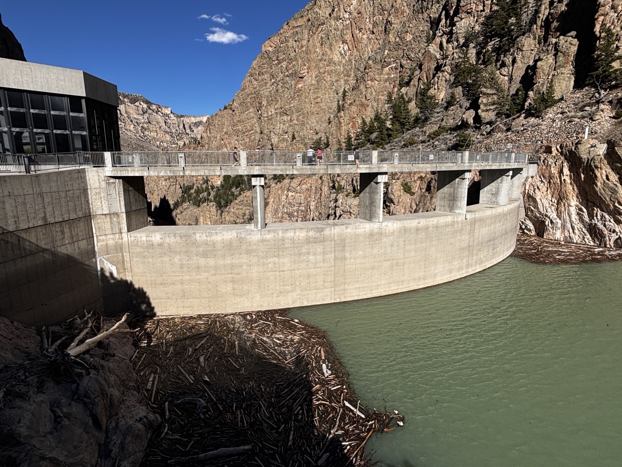
Even though we didn’t count beers, we arrived in Cody and got hooked up. With some of the afternoon left, we drove through town seeing many references to Buffalo Bill Cody, the wild west cowboy, but didn’t have time to go into the museums. We did go out to see the Buffalo Bill Lake Dam and hydroelectric plant stopping to see the Shoshone River Canyon on the way and driving through the longest tunnel in Wyoming.
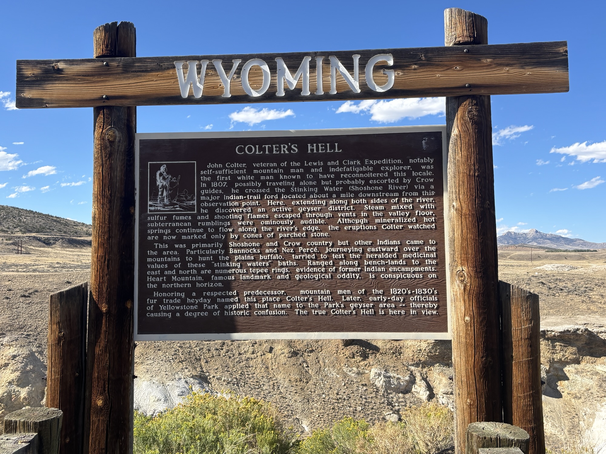
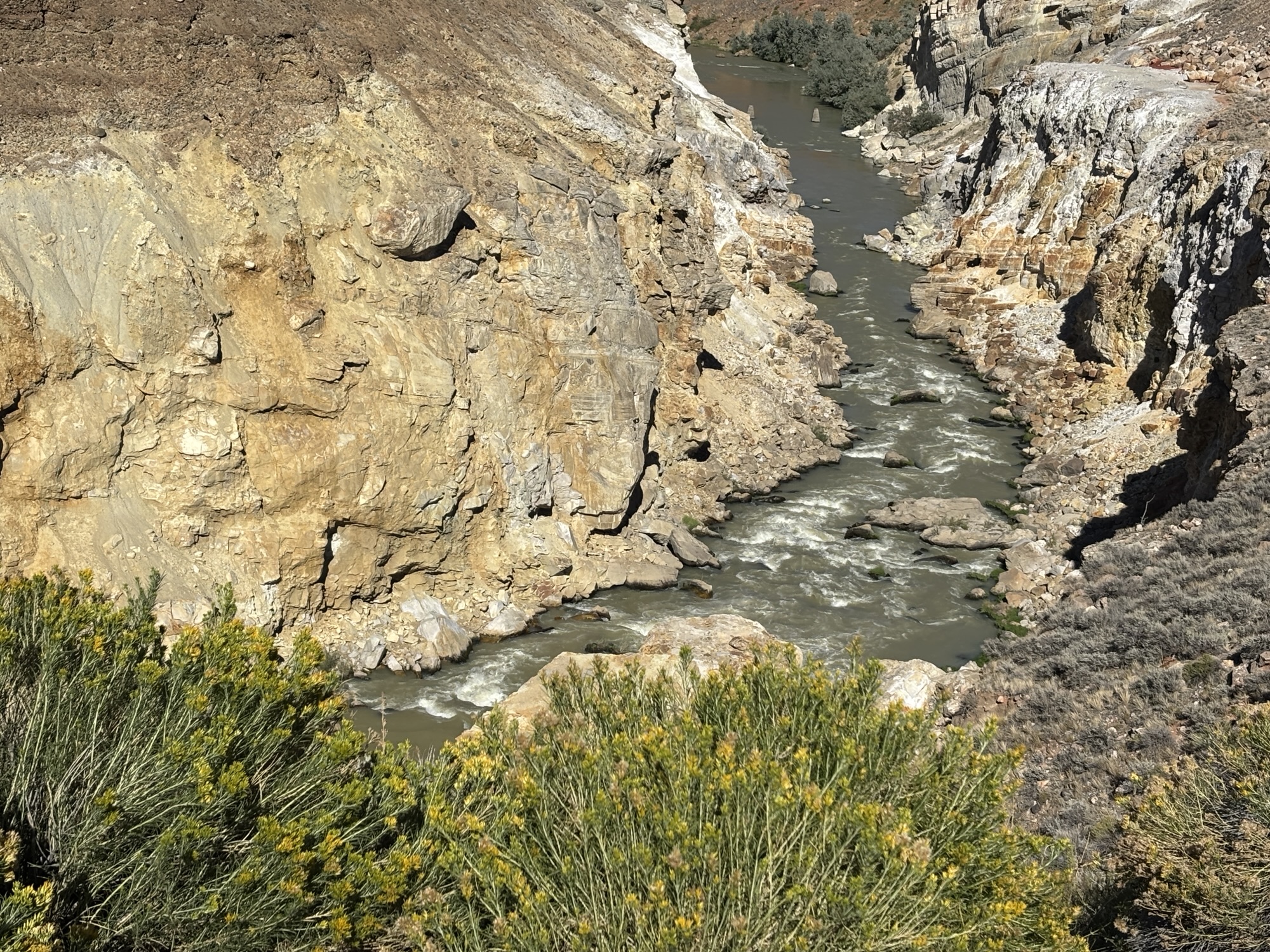
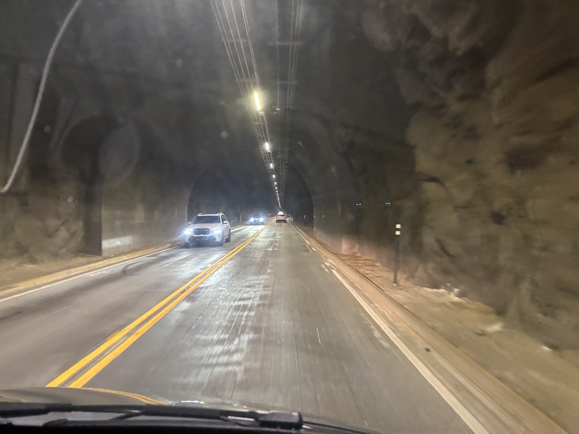
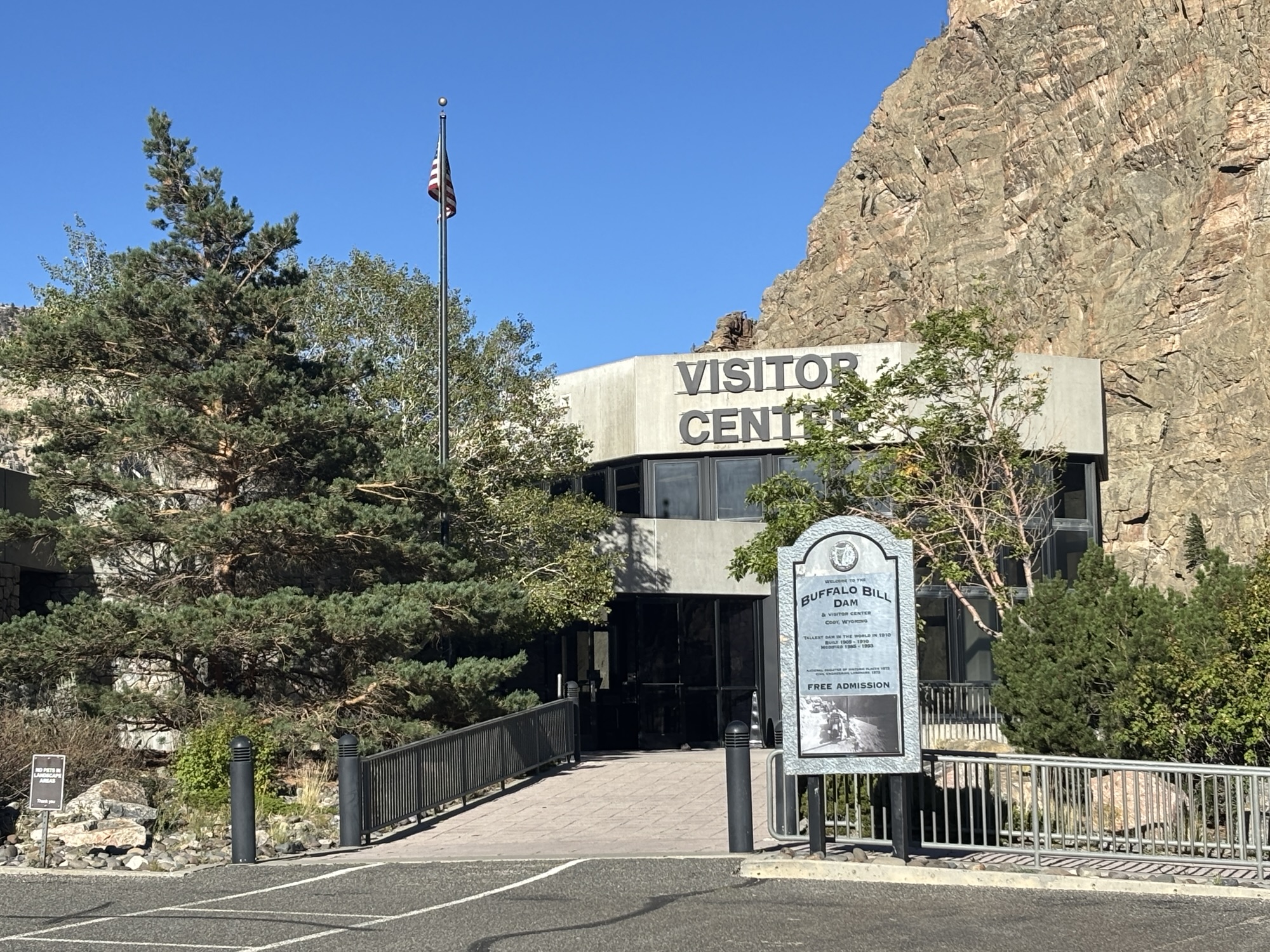
The story of the dam is a result of lots of failures from river flooding, blizzards, engineering, design changes and contractor bank ruptures. And limited by the available equipment to do the work in the early 1900’s.
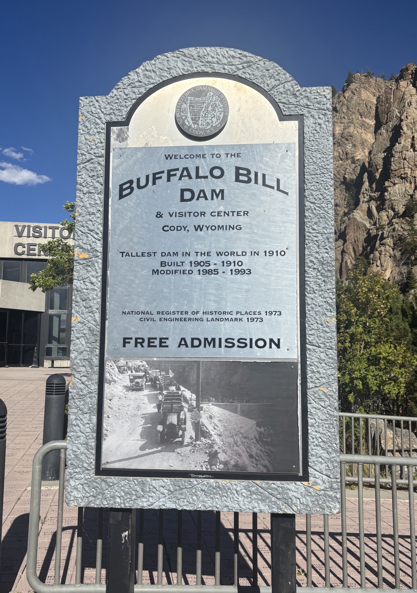
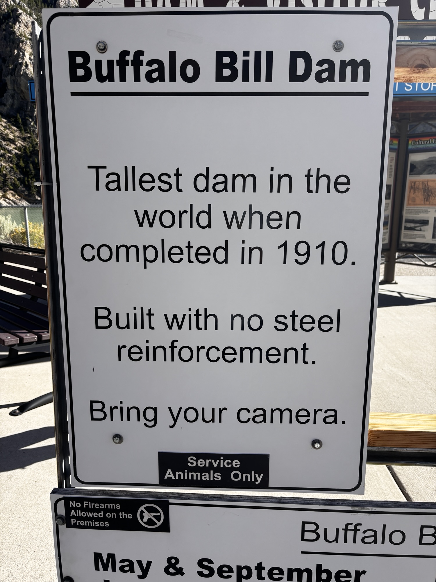
The site selected was a canyon between two close rock walls on the North Fork of the Shoshone River. So, the distance across is not too large, but the height was the issue. And it was all built without steel reinforcement in the concrete! And remember, this is Wyoming so they could not work in the spring because the snow melt flooded the river or in the winter because of, well, winter!! The third company to work on the dam finished it in 1910 after 5 years. And at the time it was the tallest dam in the world at 325 ft. It was upgraded in 1985, and an additional 25 feet were added in 1993 along with a new spillway and visitor center. A very interesting and educational visit.
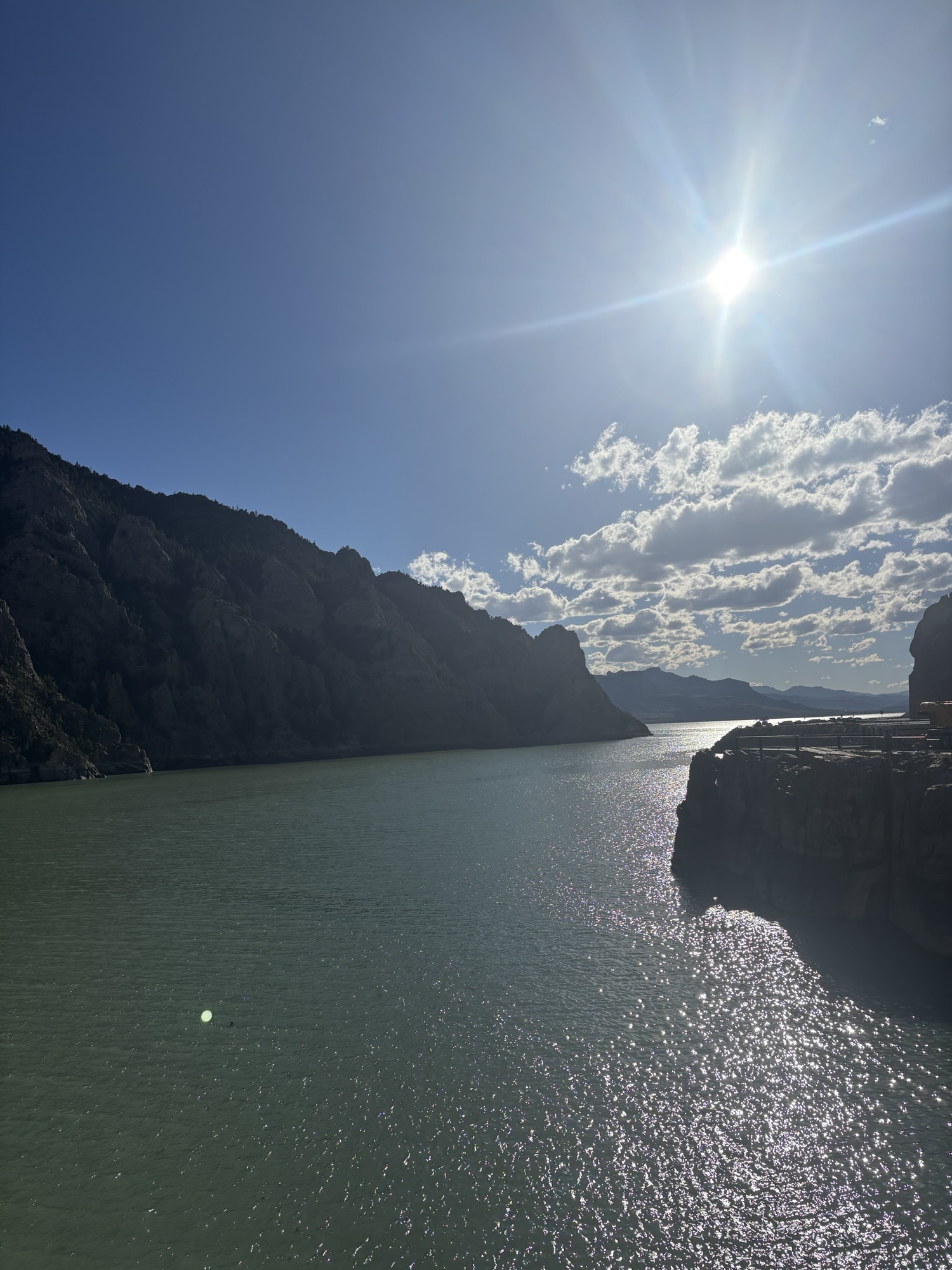
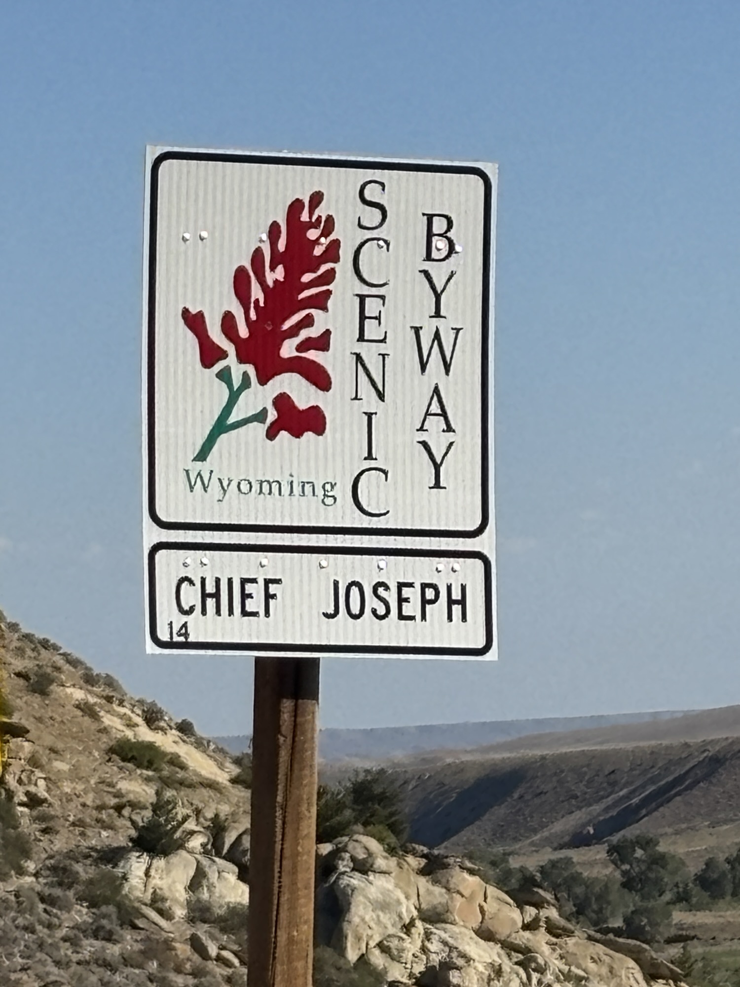
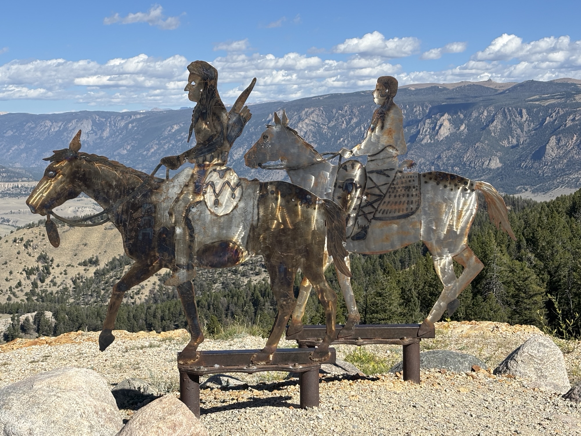
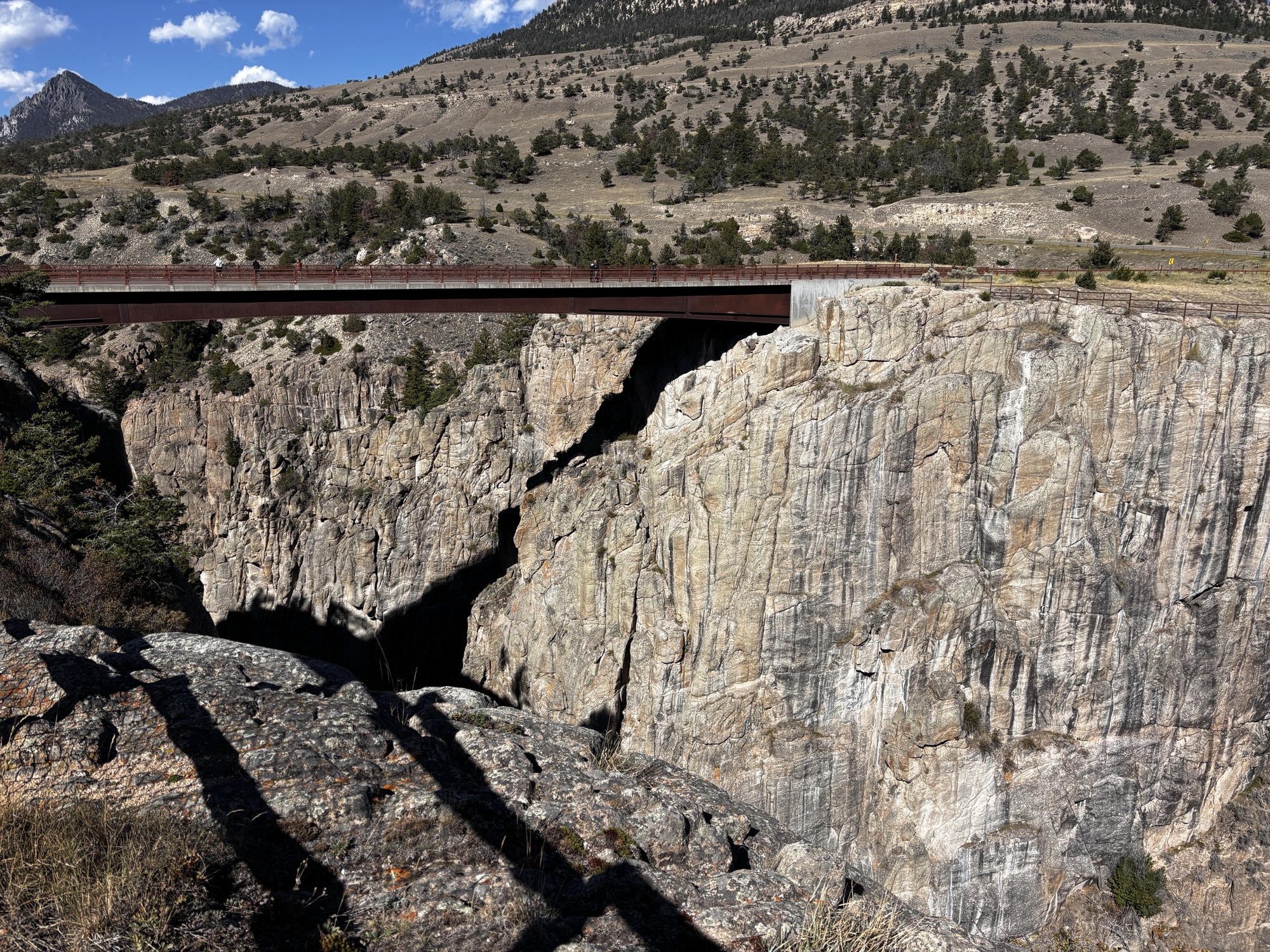
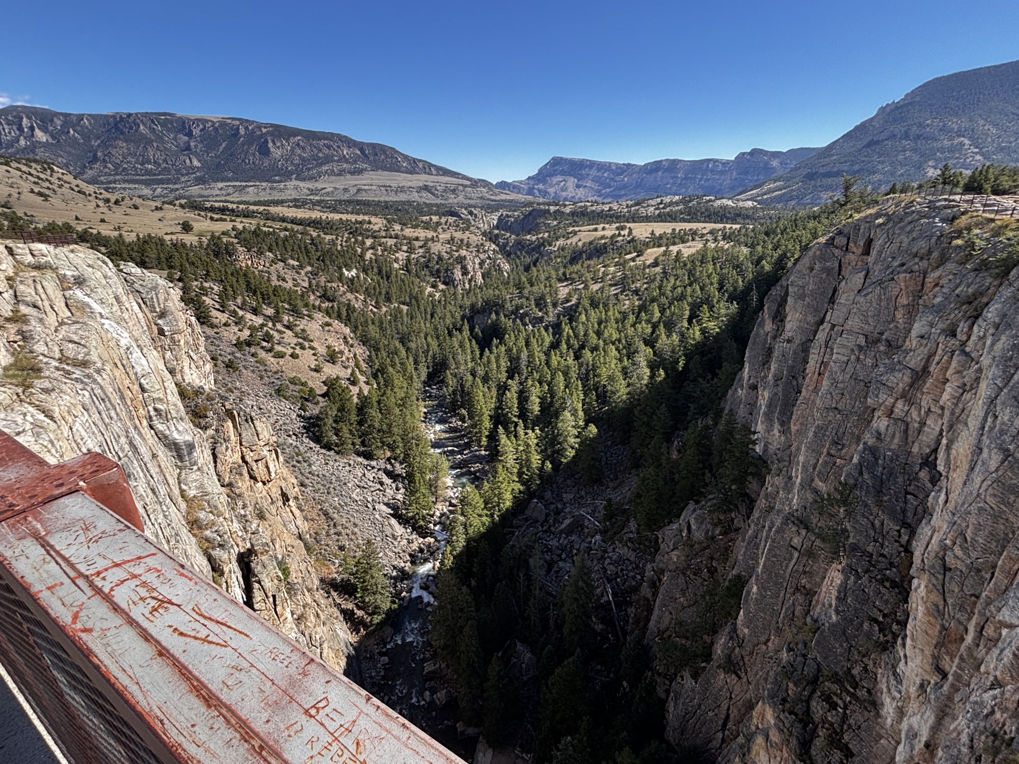
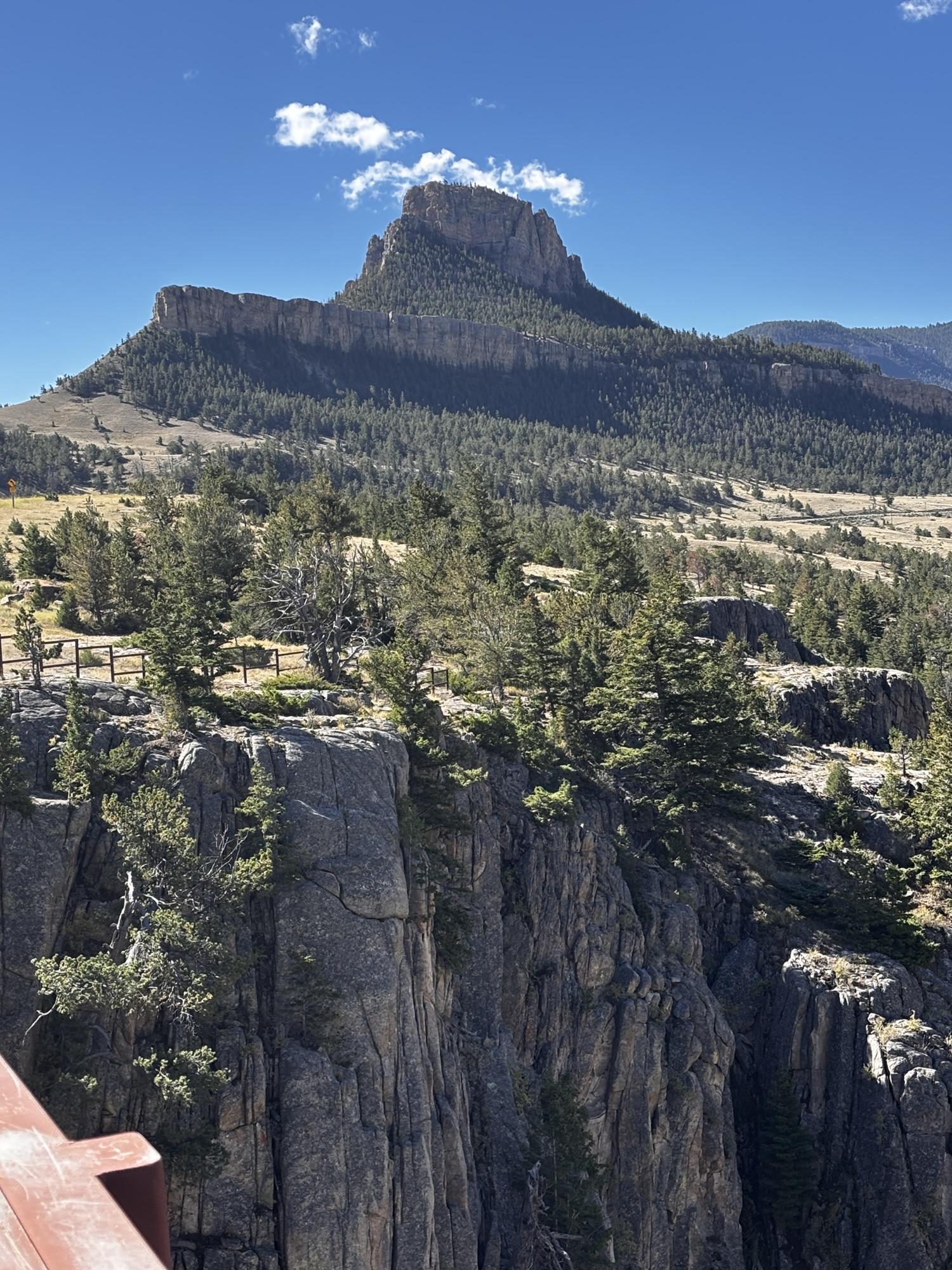
Our main goal of the Cody stop was to drive the Beartooth All-American Road, but after some additional reading, we added driving the Chief Joseph Scenic Byway (I’ll call it the CJSB for short) as well. We took the tops off the Jeep for better visibility and headed out. About 15 miles NE of town on WY Hwy 120, you turn off onto CJSB heading to the junction with Beartooth. The road is part of the original Nez Perce Historic Trail that was used in 1877 only once by Chief Joseph to lead is tribe of about 1000 people to Canada and away from the US Cavalry.
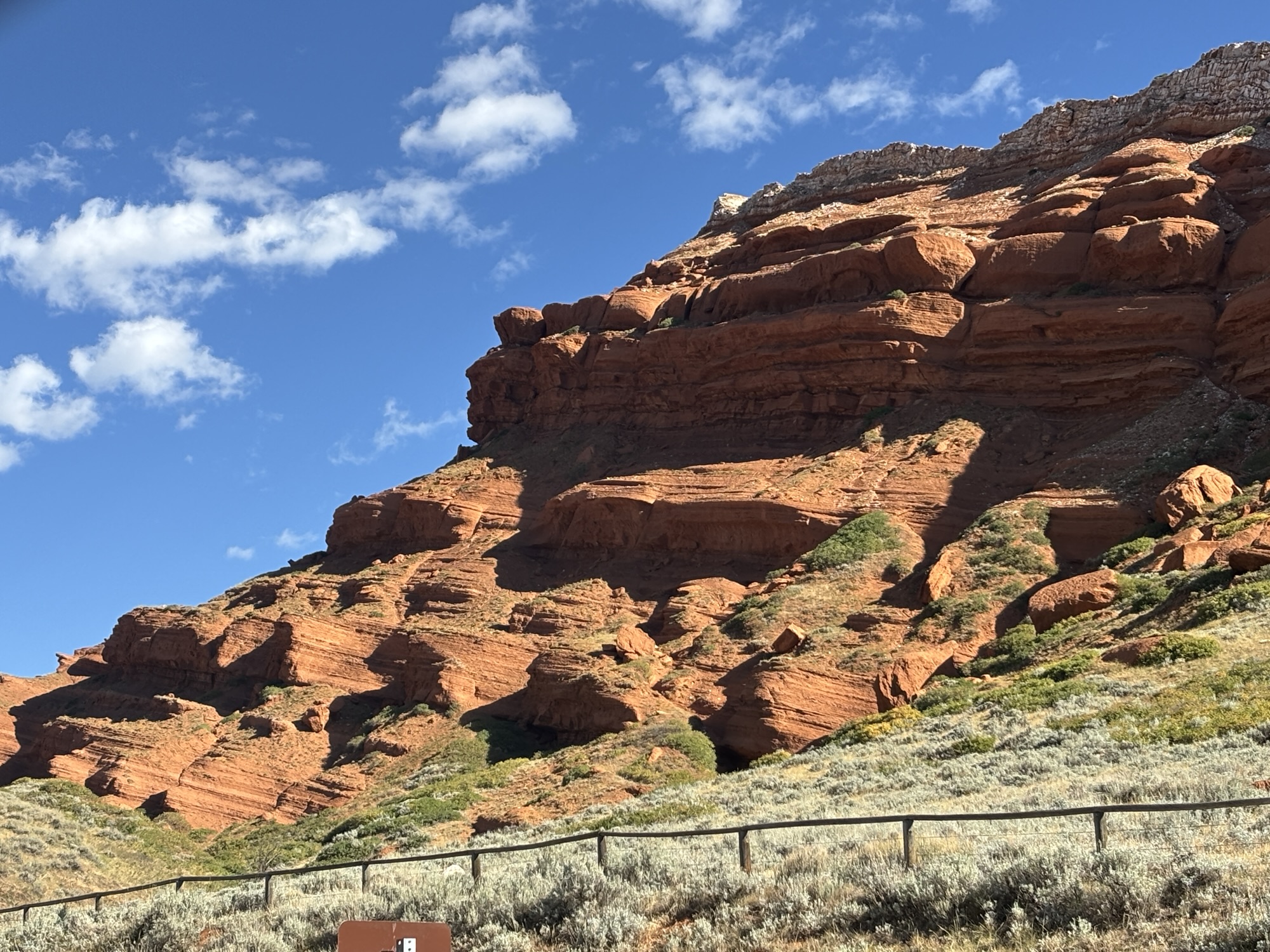
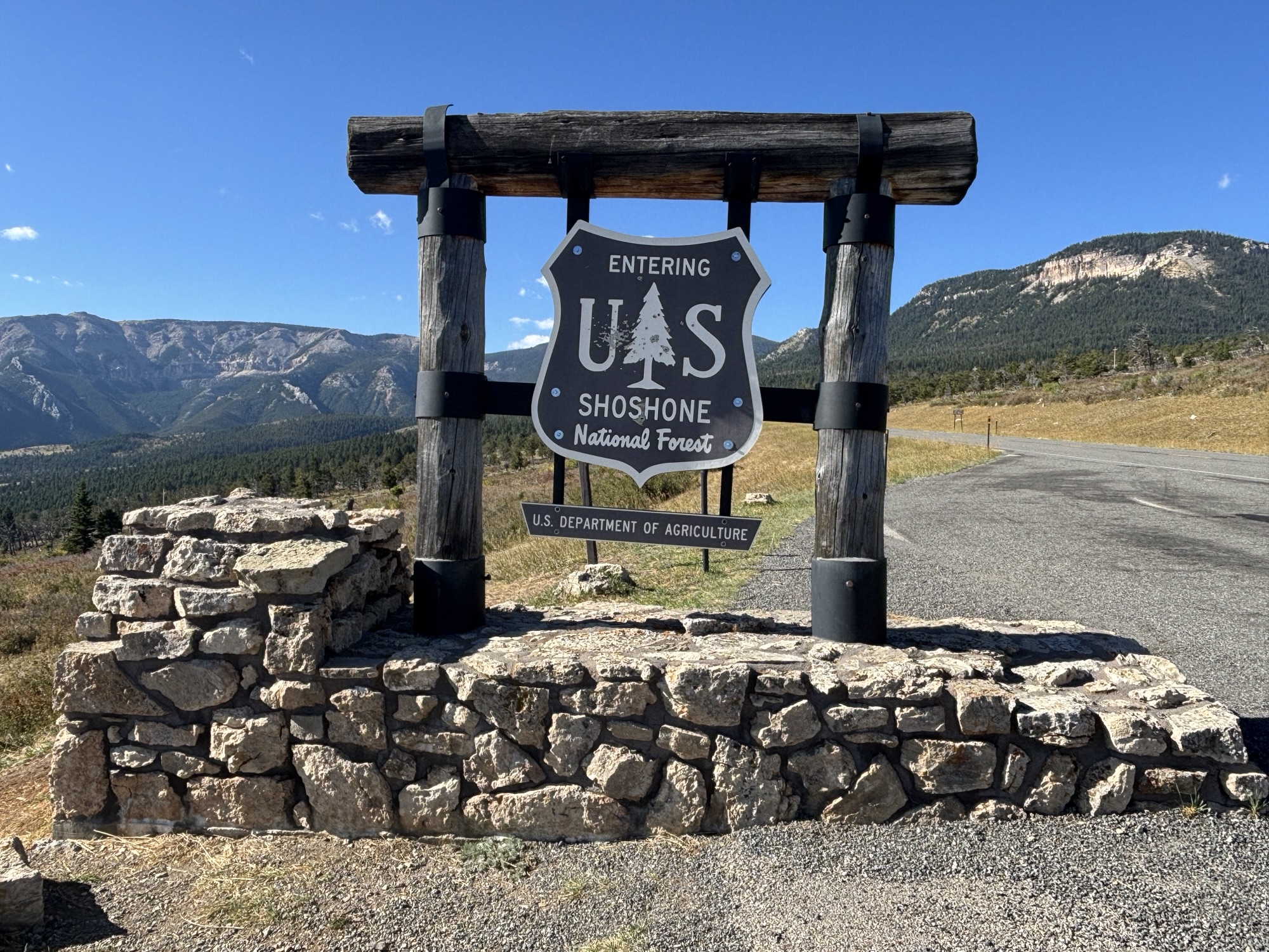
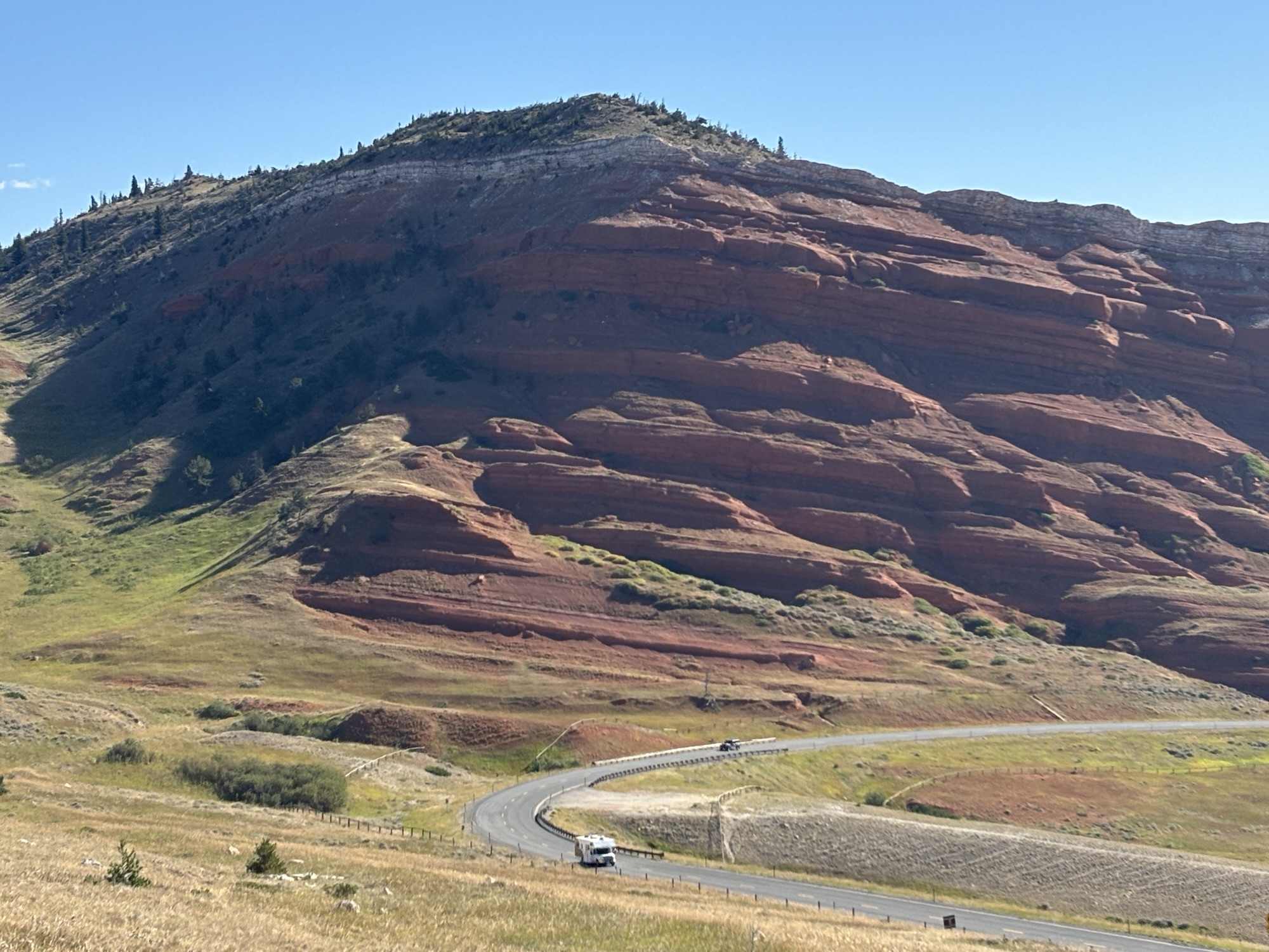
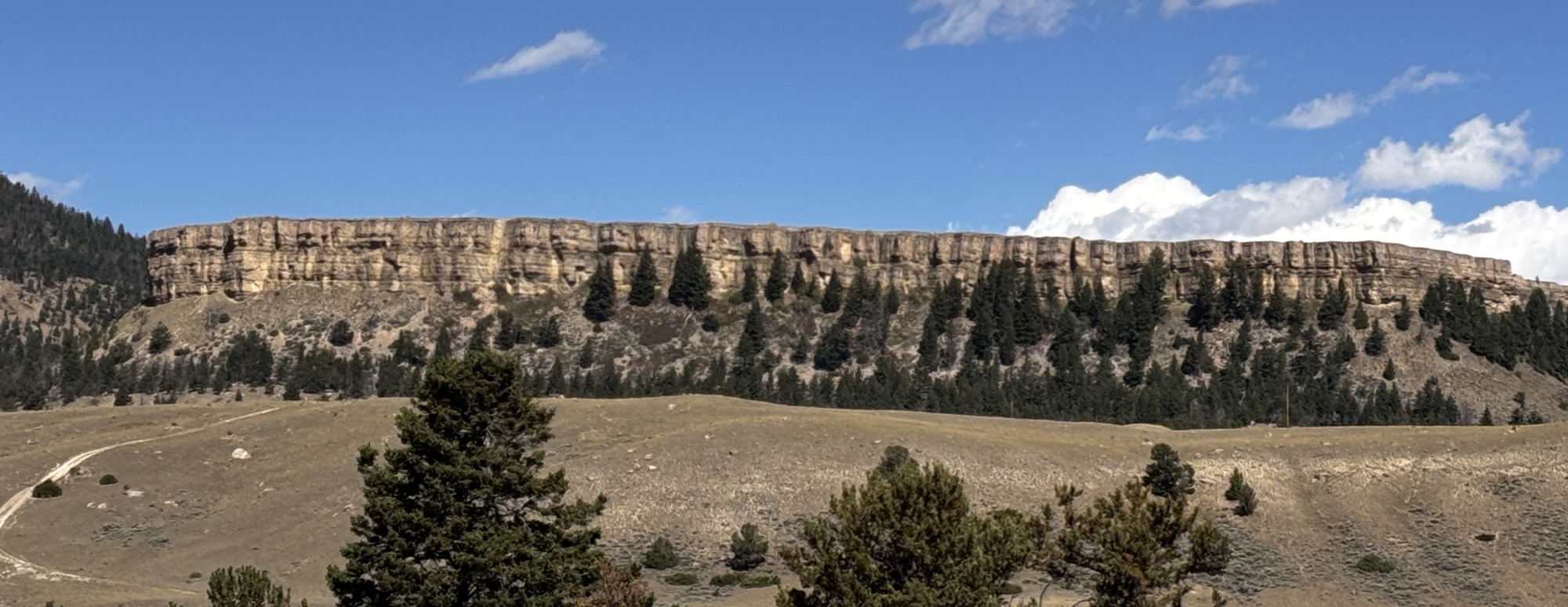
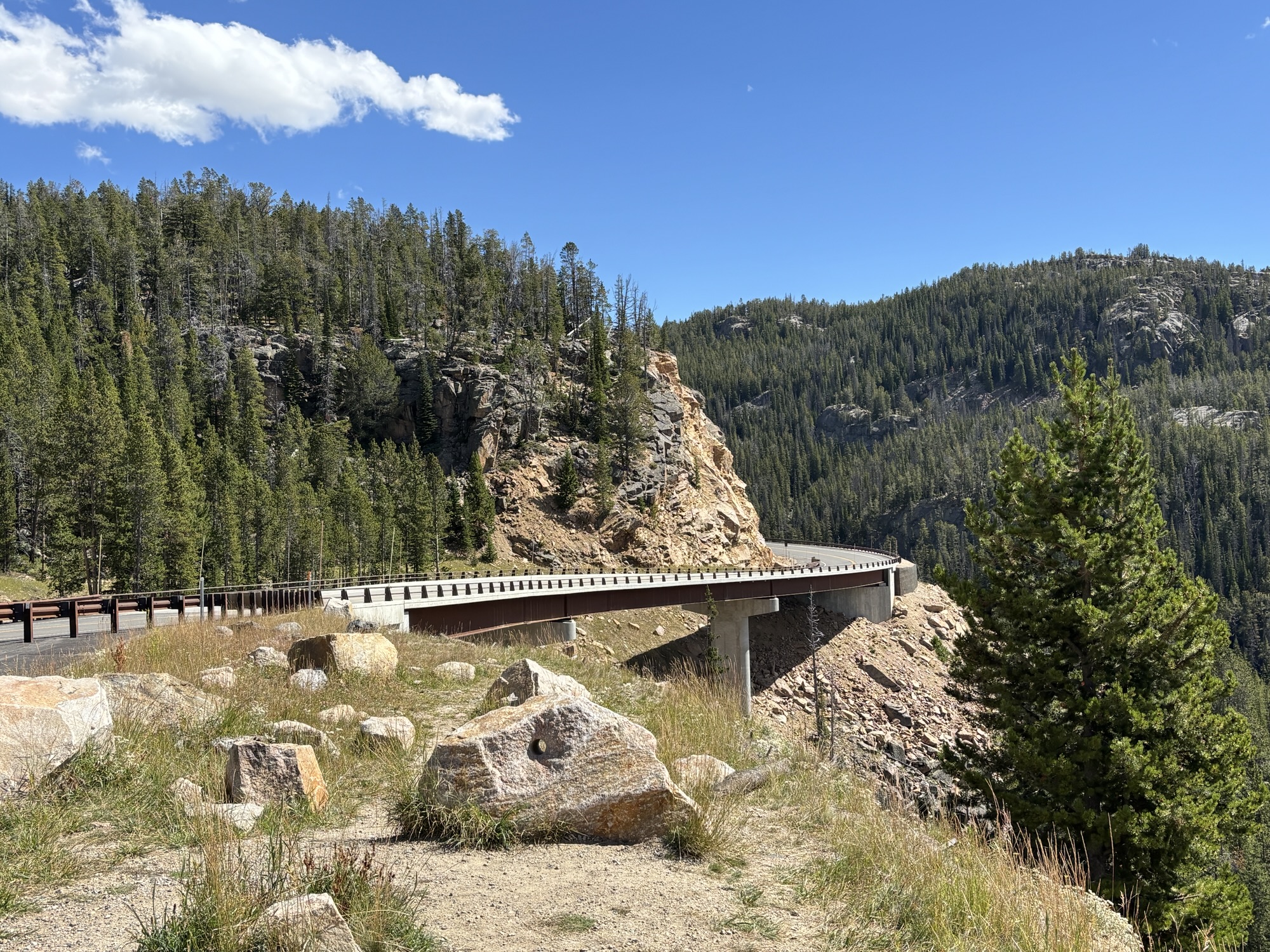
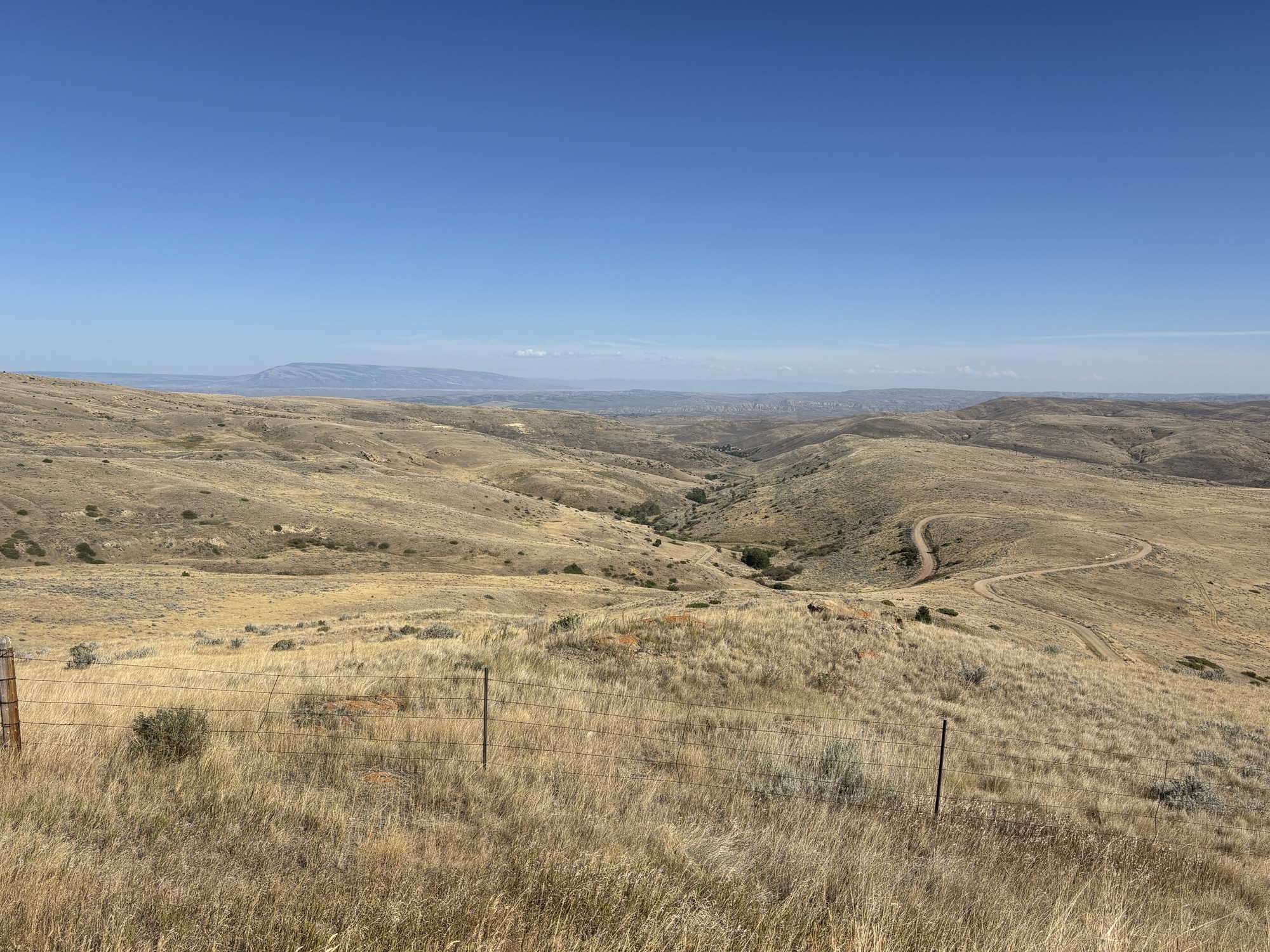
The scenic landscape is much like the lands we saw in the Badlands of South Dakota with cliffs and washes in a reddish terracotta color until we reached the rise into the mountains. The road crosses the Shoshone National Forest on the way to Clark’s Fork River Valley.
We stopped at the Dead Indian Hill Summit Overlook at 8000 ft. The story of the name is that one warrior of the tribe stayed back during the trip north and he as killed in the process. But his name was never recorded so they just name the pass as Dead Indian.
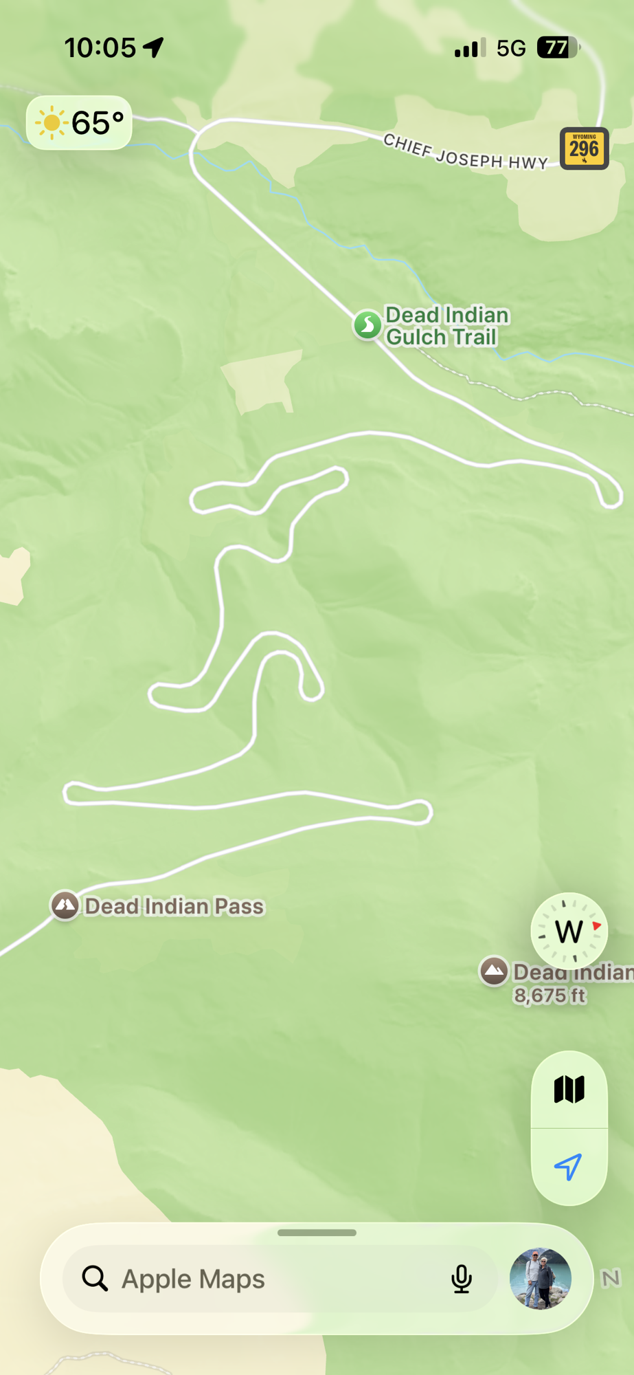
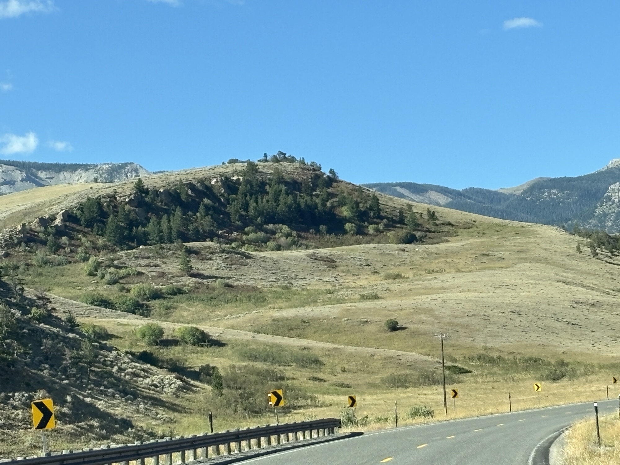
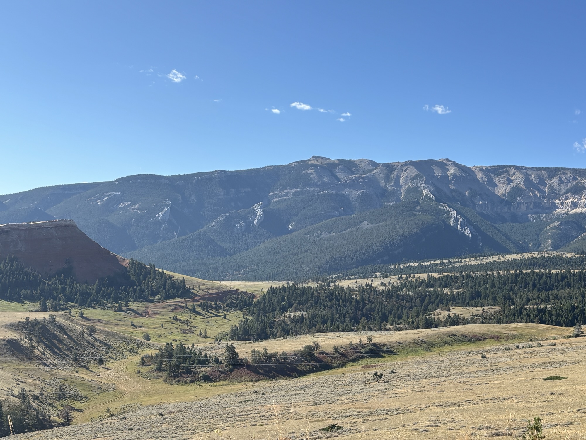
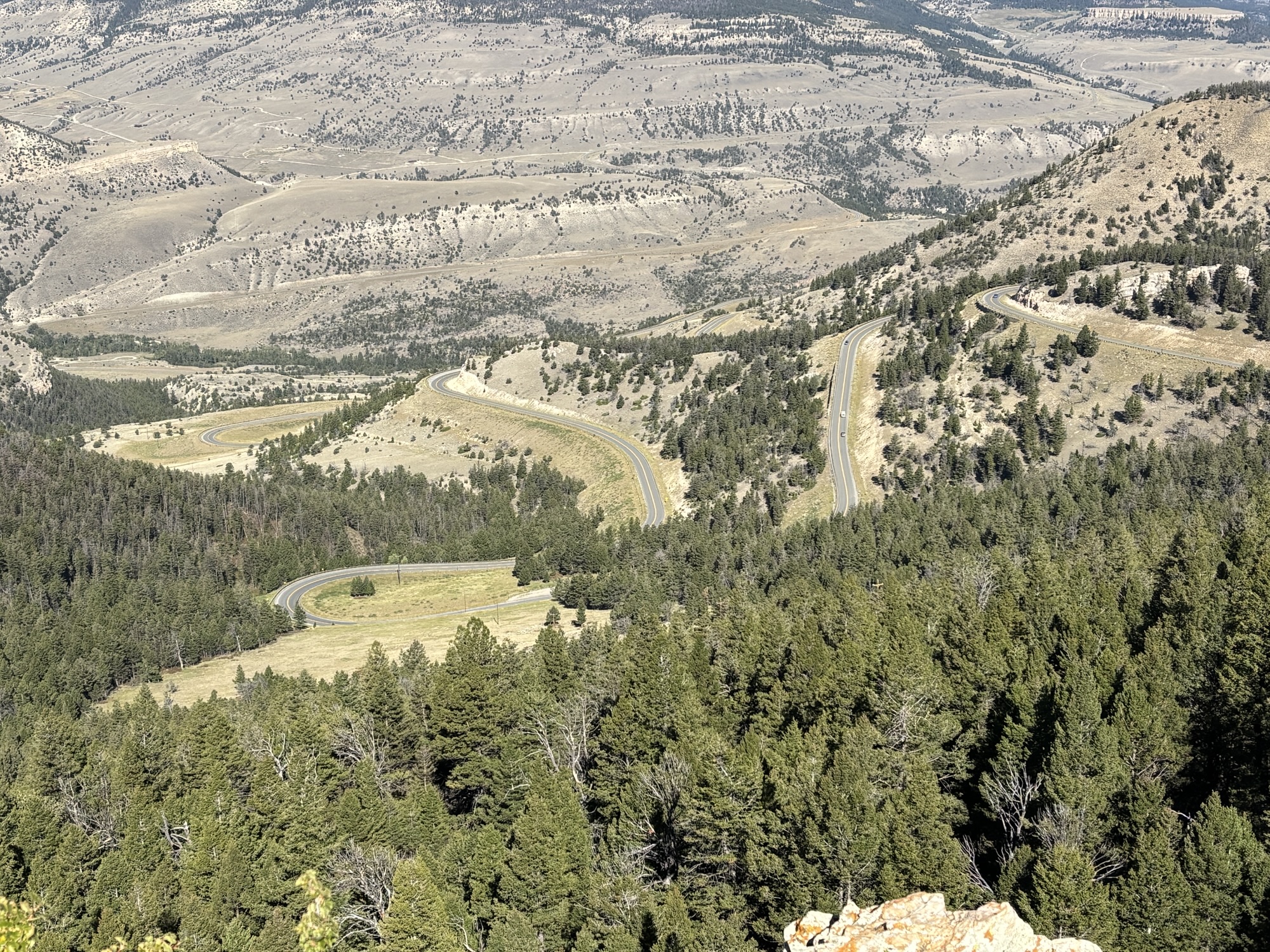
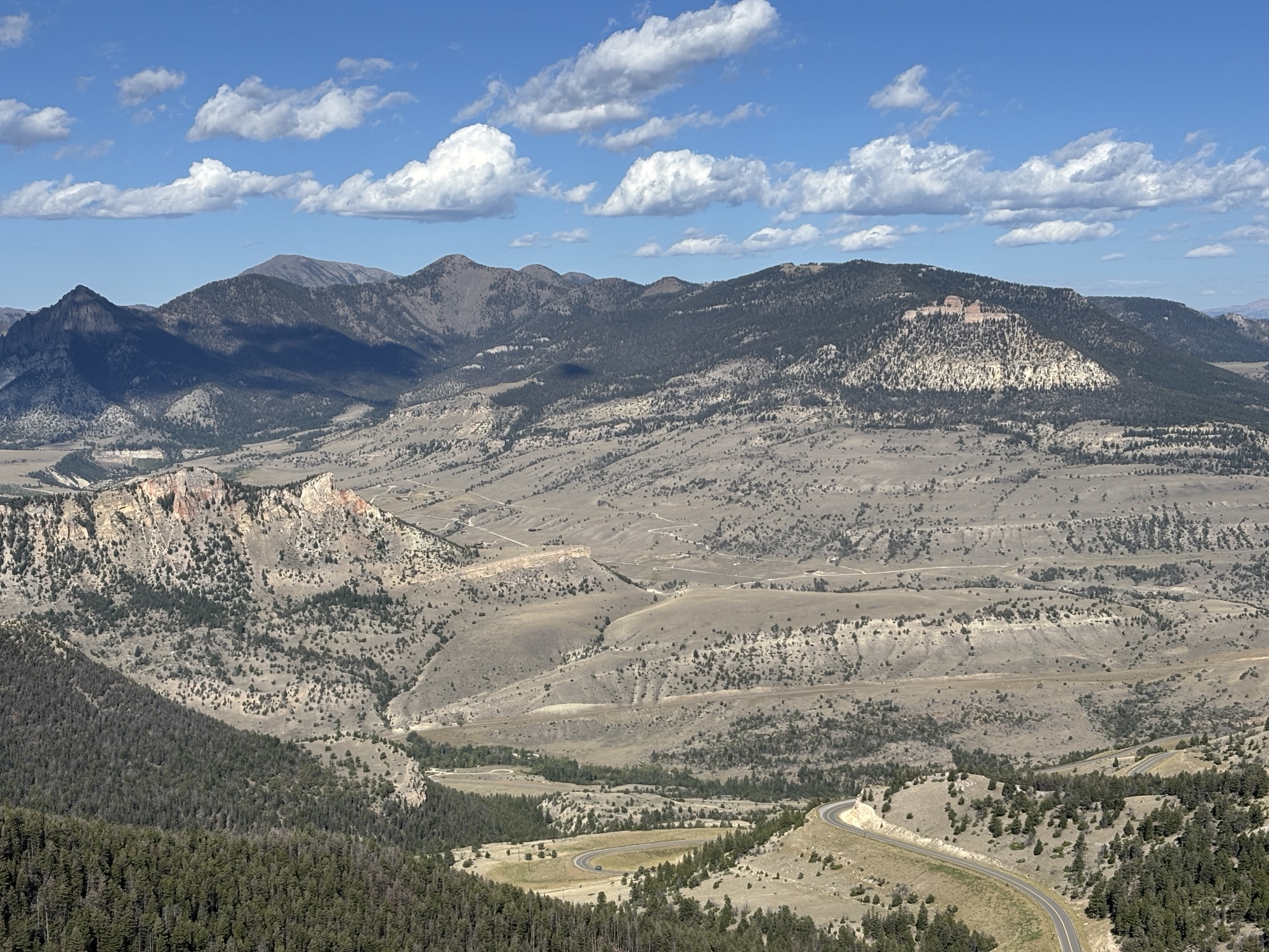
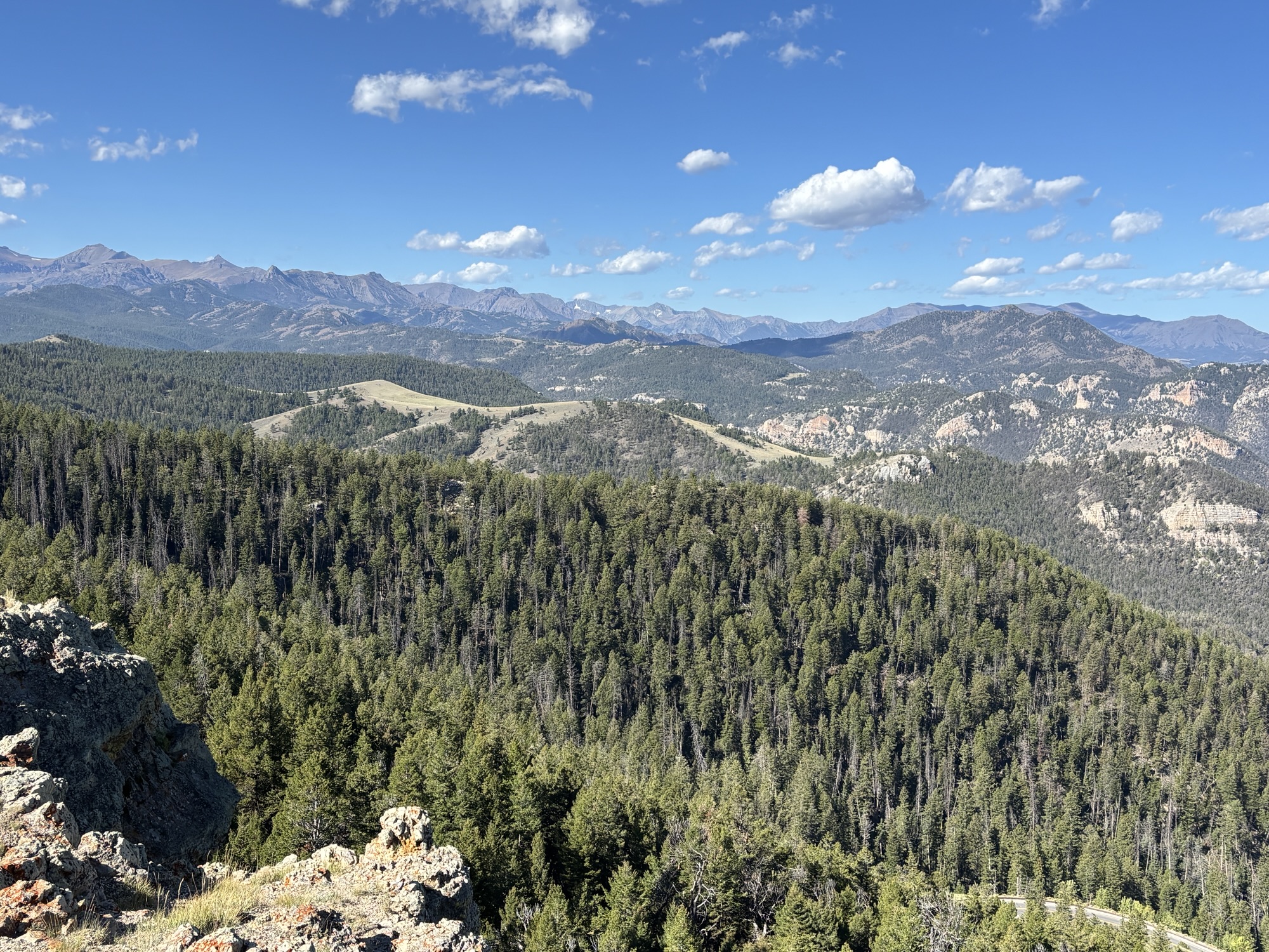
The turnout there revealed a spectacular view of 25 other peaks rising more than 12,000 ft and the road switchbacks going down the other side. The steep decline and curves were intimidating but nothing like what was to come later.
Coming down to the river valley, we stopped at one more turnout to see the Clark’s Fork River Overlook. The river is one of the Shoshone National Forest’s key features. Named after Capt William Clark of the Lewis and Clark Expedition who was the first to write about the river. And in 1990, the 20-mile section of the river was named Wyoming’s first National Wild and Scenic River.
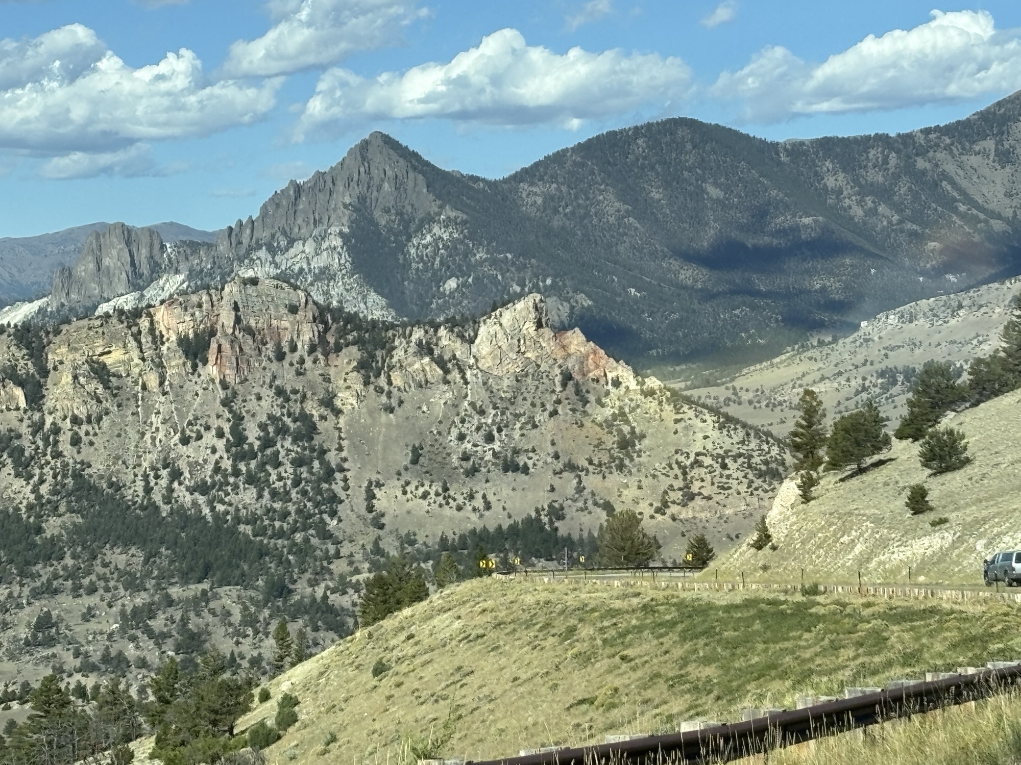
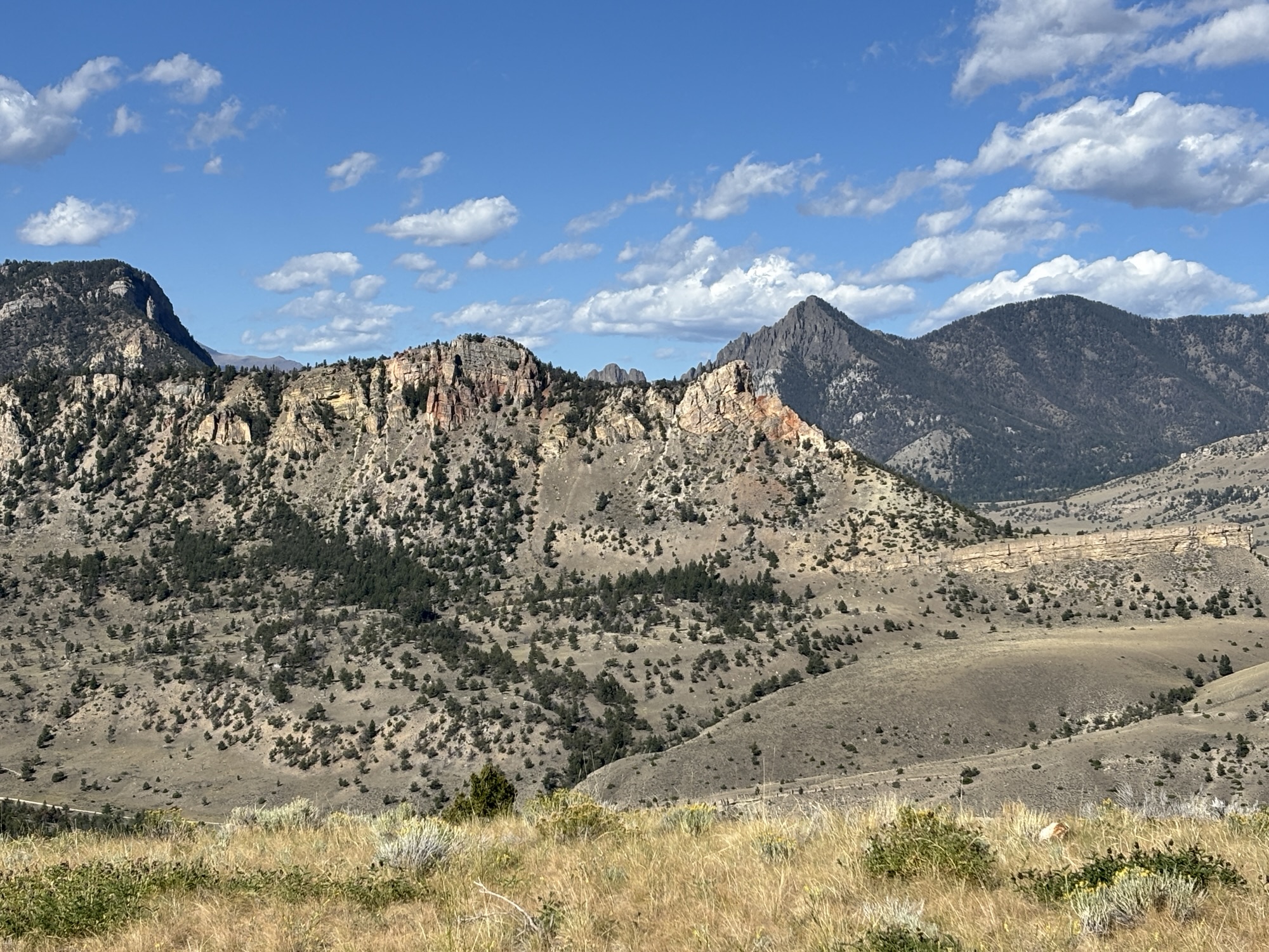
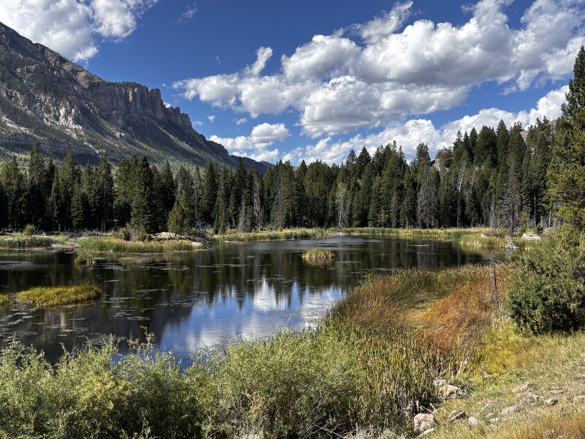
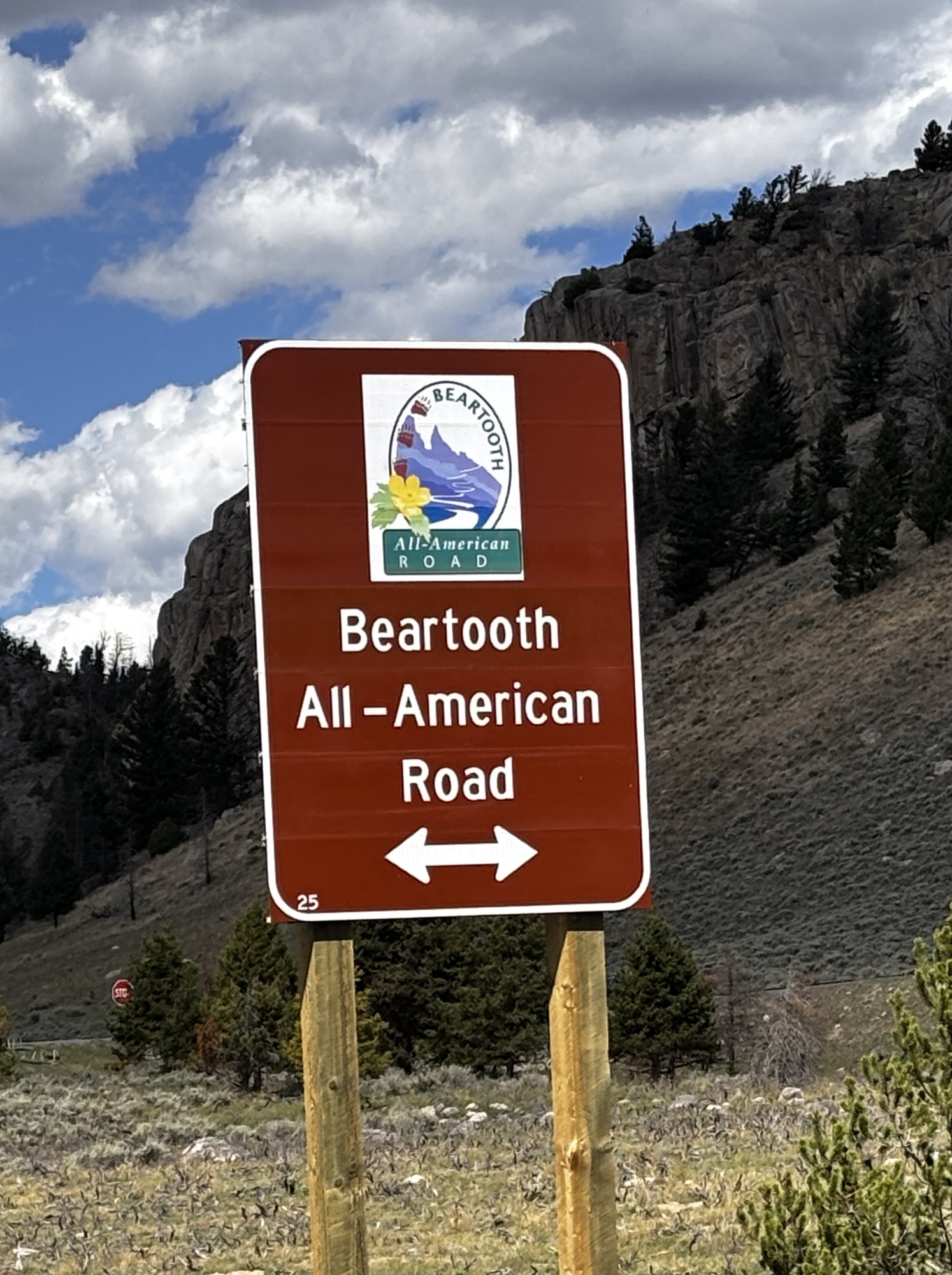
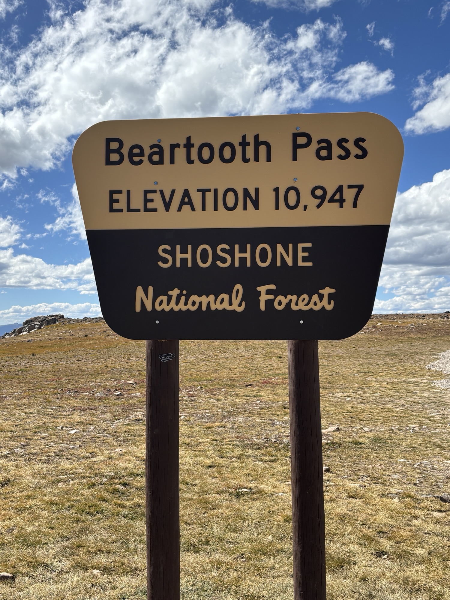
After 47 miles we came to the intersection with the Beartooth All-American Road and turned right toward Red Lodge, MT. This road is the highest paved road in Wyoming with a peak height at 10,947 ft. The section from CJSB to Red Lodge is only a part of the road that extends further to the eastern entrance to Yellowstone NP.
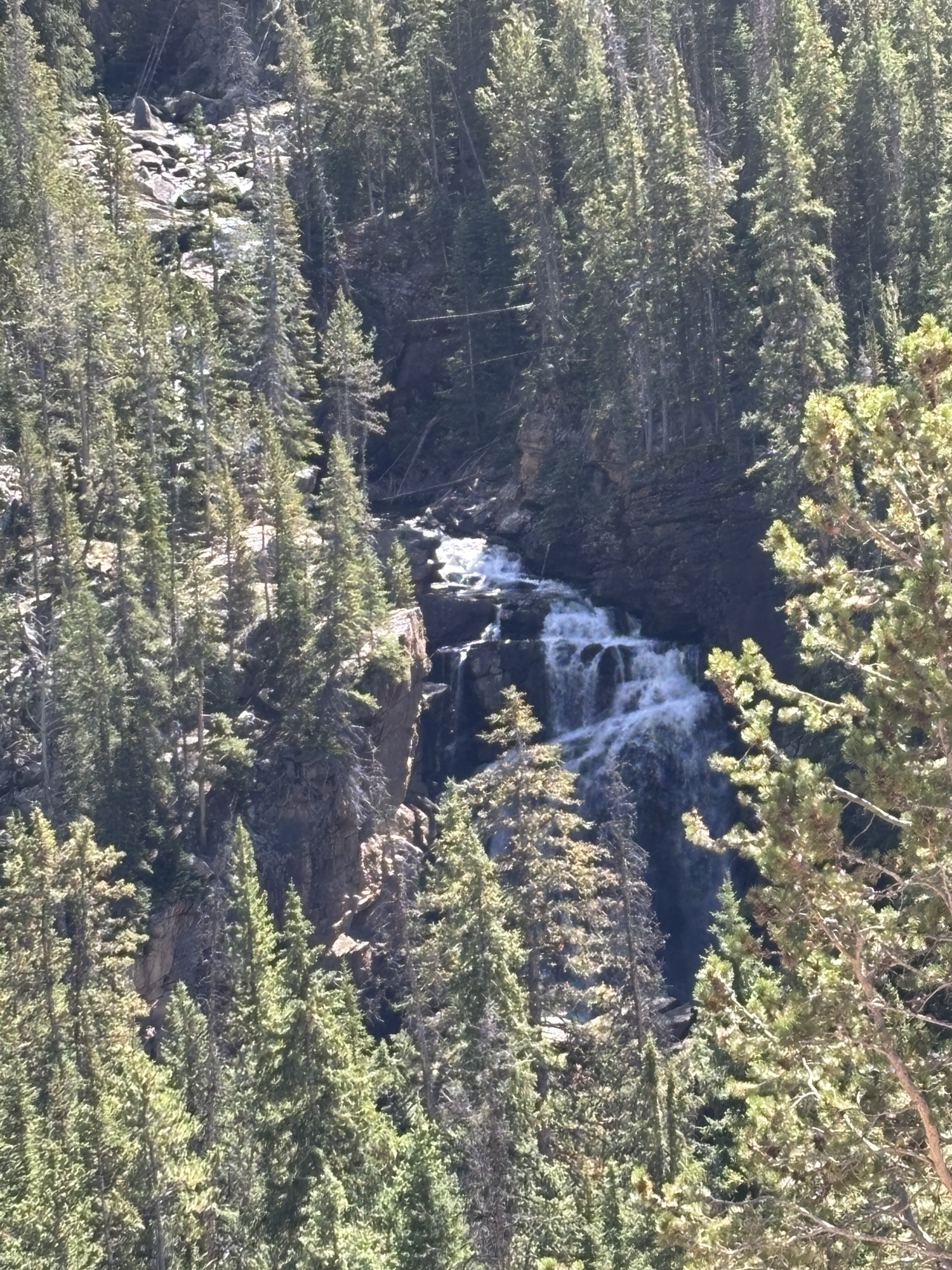
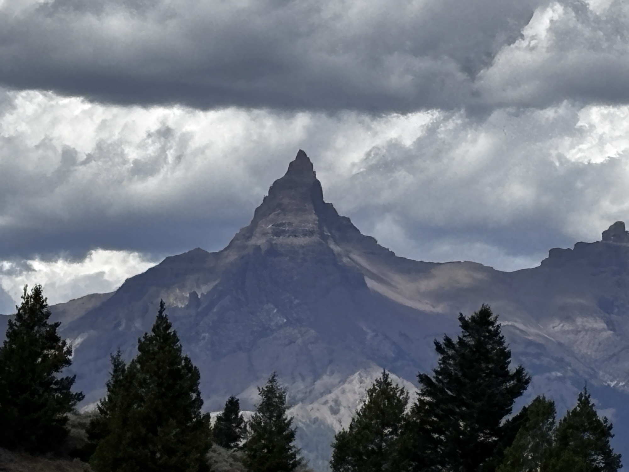
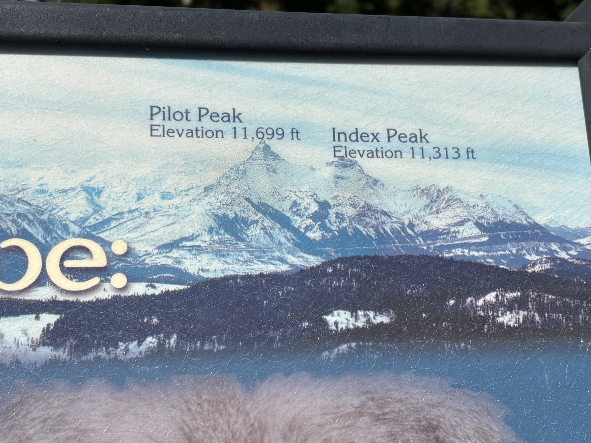
Almost at the beginning, it crossed the Lake Creek with a hike to the falls. It was an okay waterfall but the trail we picked was the big challenge. We took an easier route back. We made other stops at Pilot and Index Peak outlook. We had originally thought that maybe Pilot Peak was the Beartooth but that came later. The view across to the peaks was the main reason to stop. Then on to Beartooth Lake where we took a break for a picnic lunch and some relaxation.
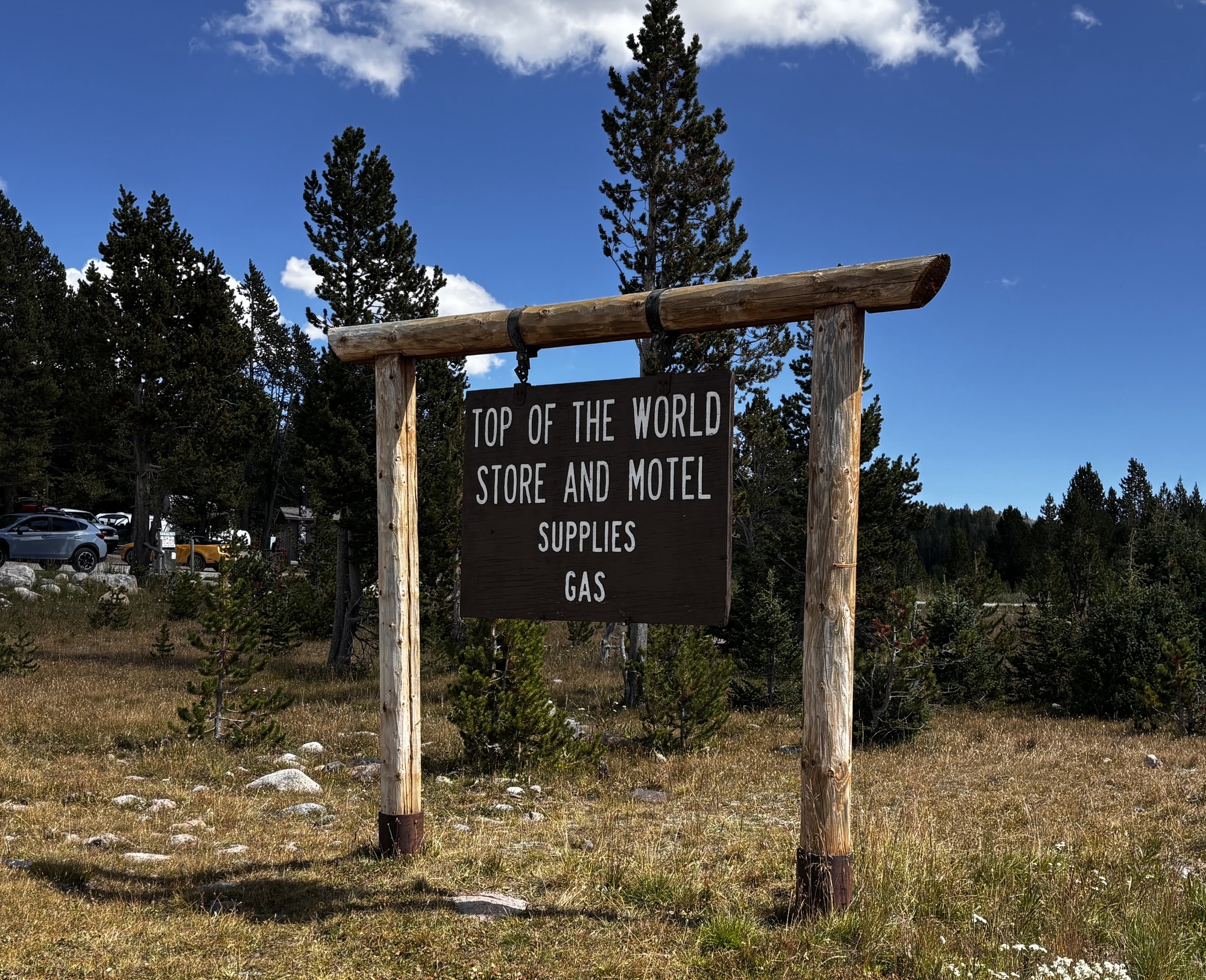
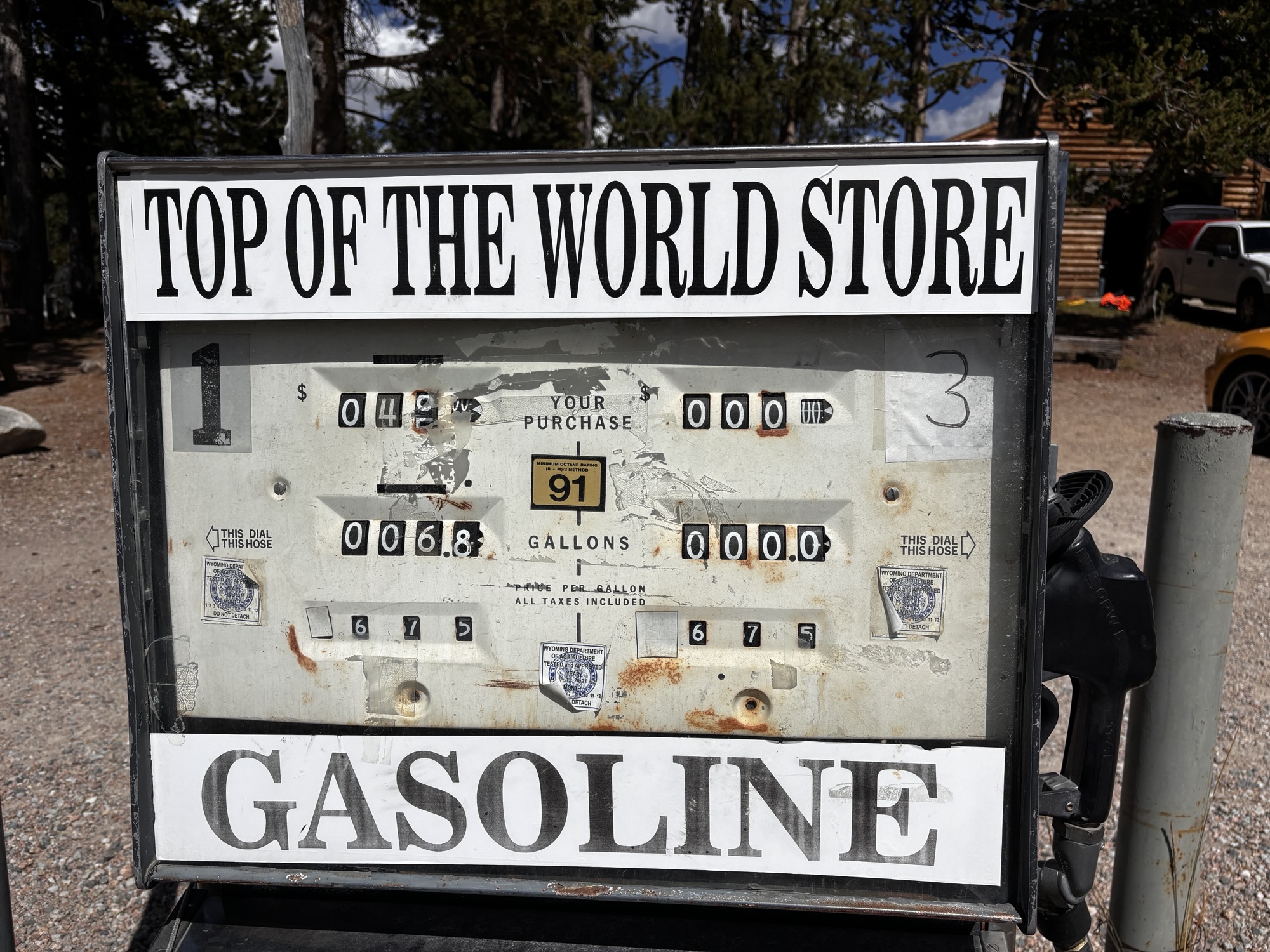
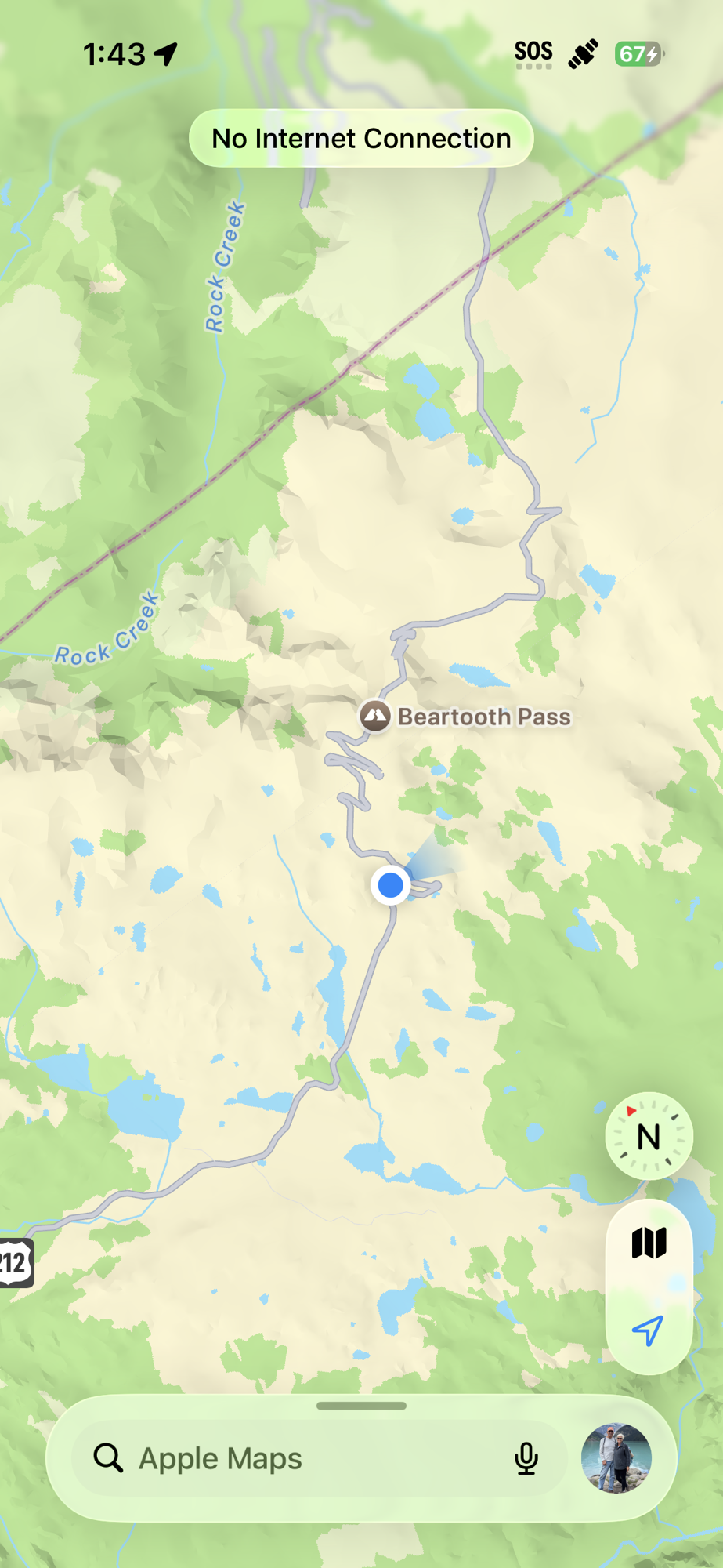
Then near the peak is the Top of the World Store and Motel. I checked my compass and found that Its altitude is actually only 9340 ft even though they still advertise the summit height on everything they sell! Of course, everyone stopped and the place was very crowded. And, being the only show in town, were also very proud of their gas price at $6.75 per gallon! We took some photos and bought some water and then headed on.
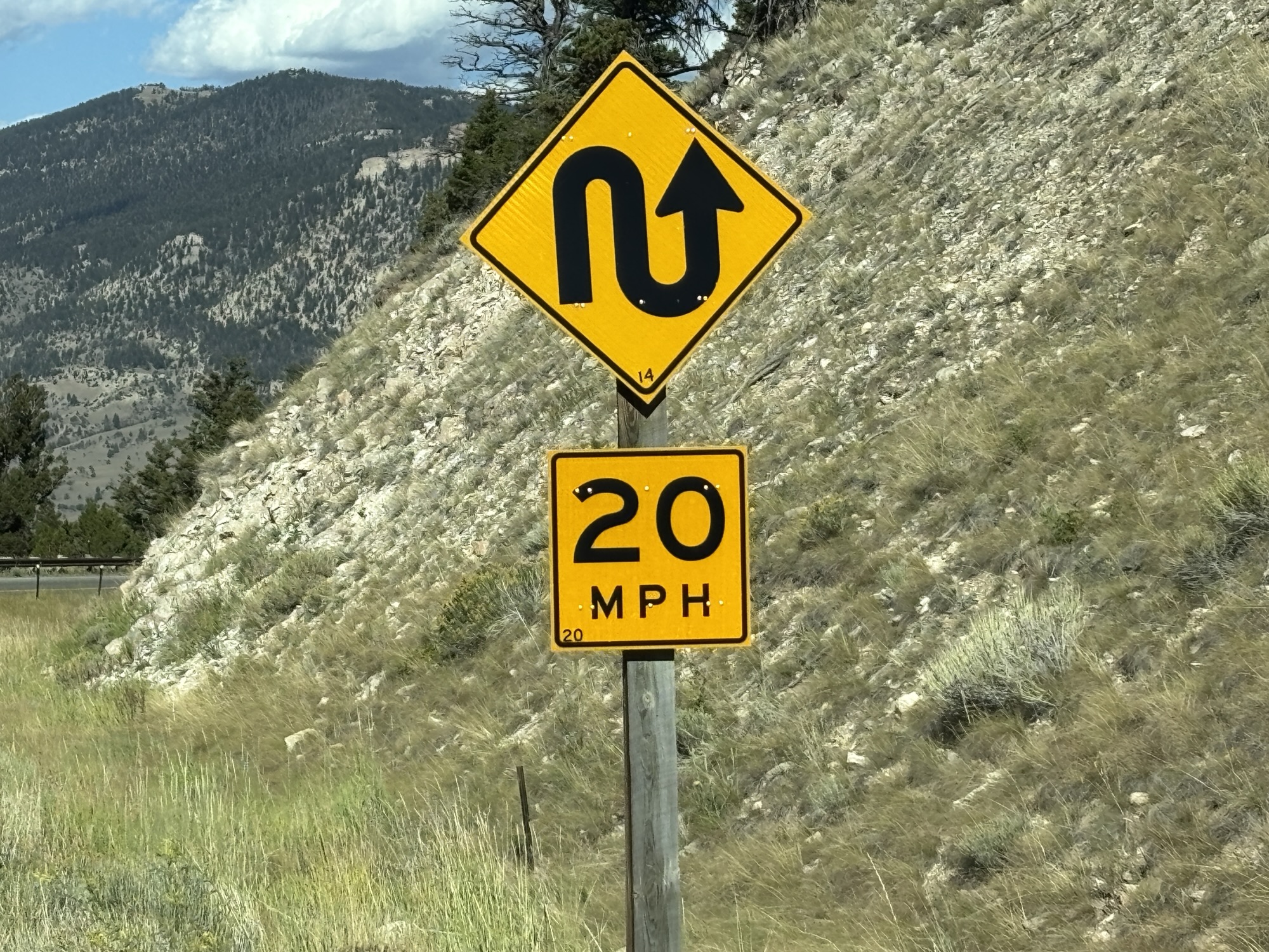
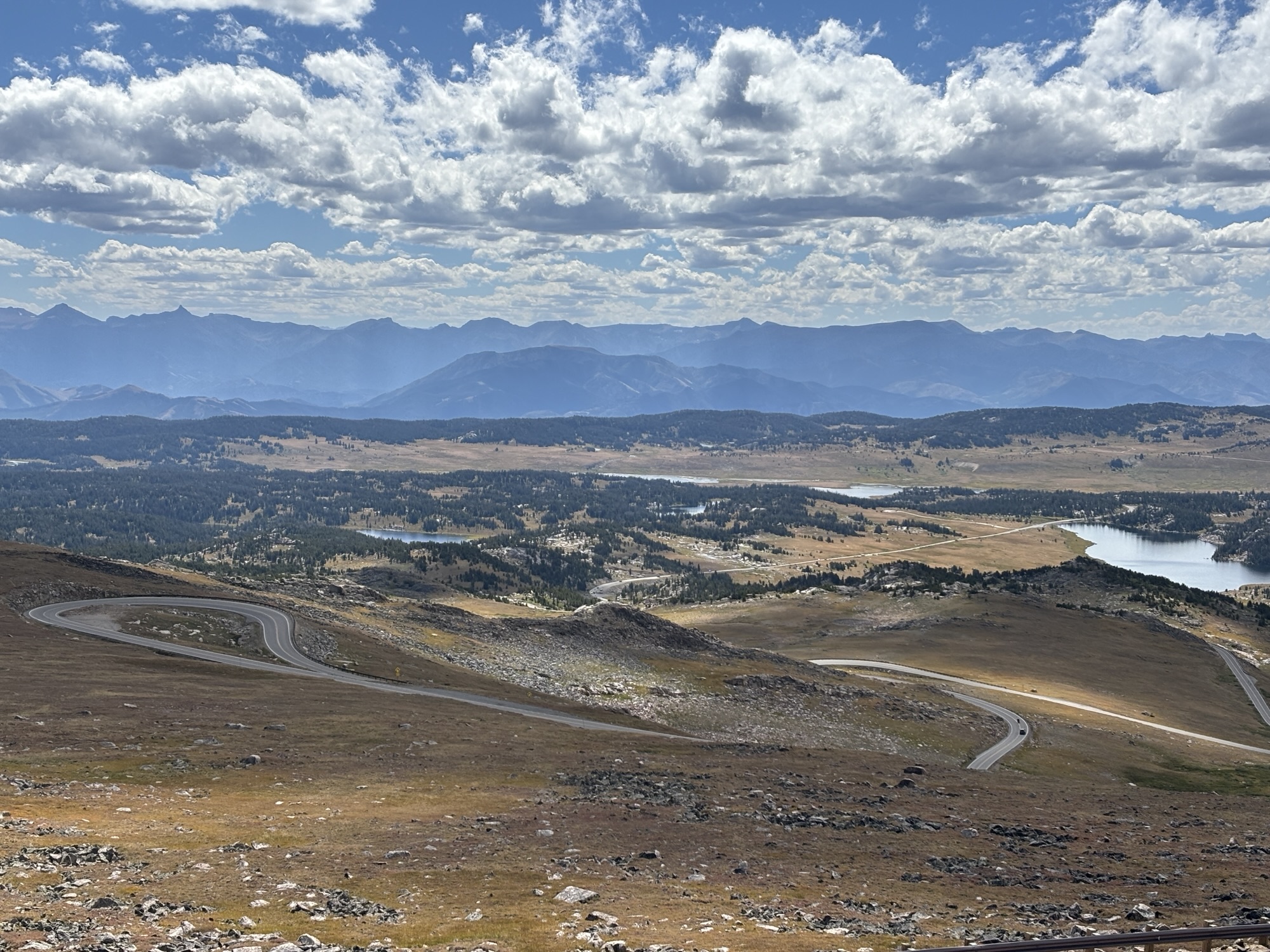
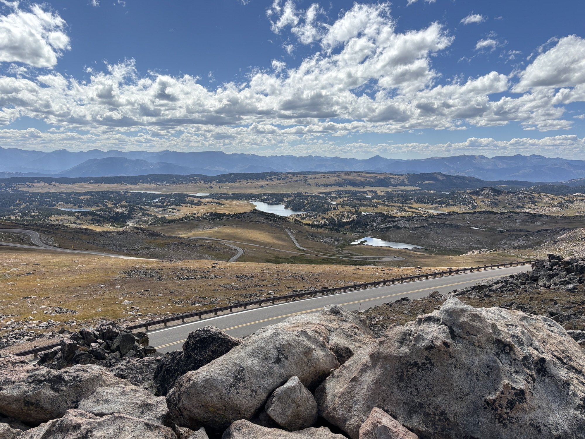
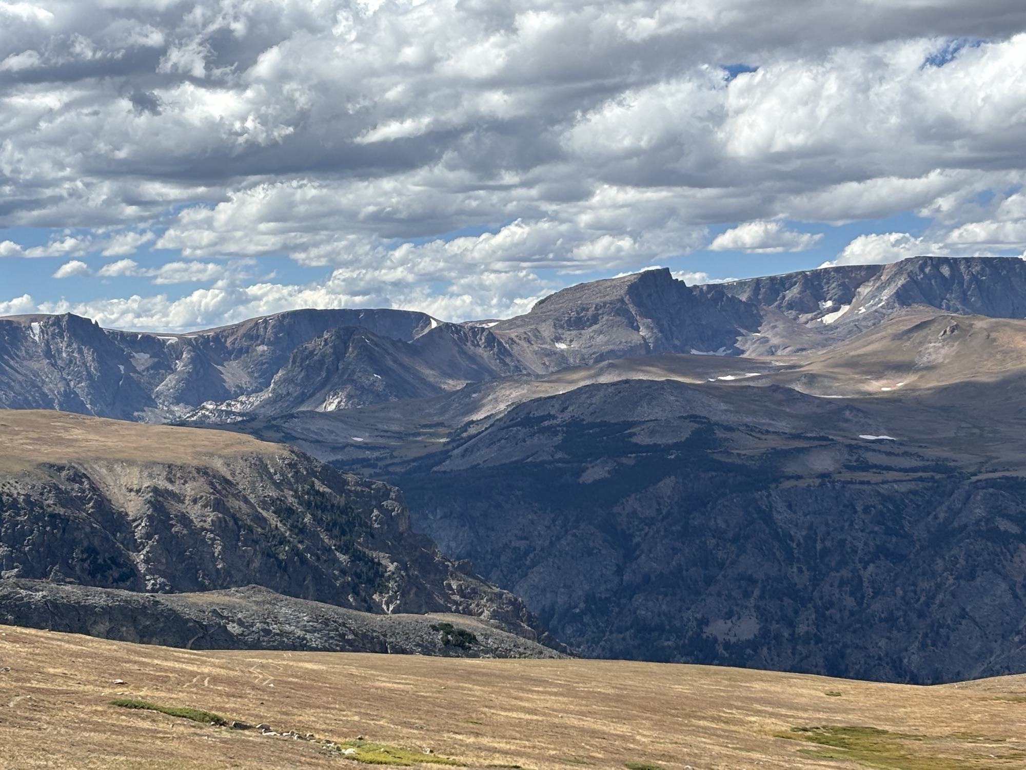
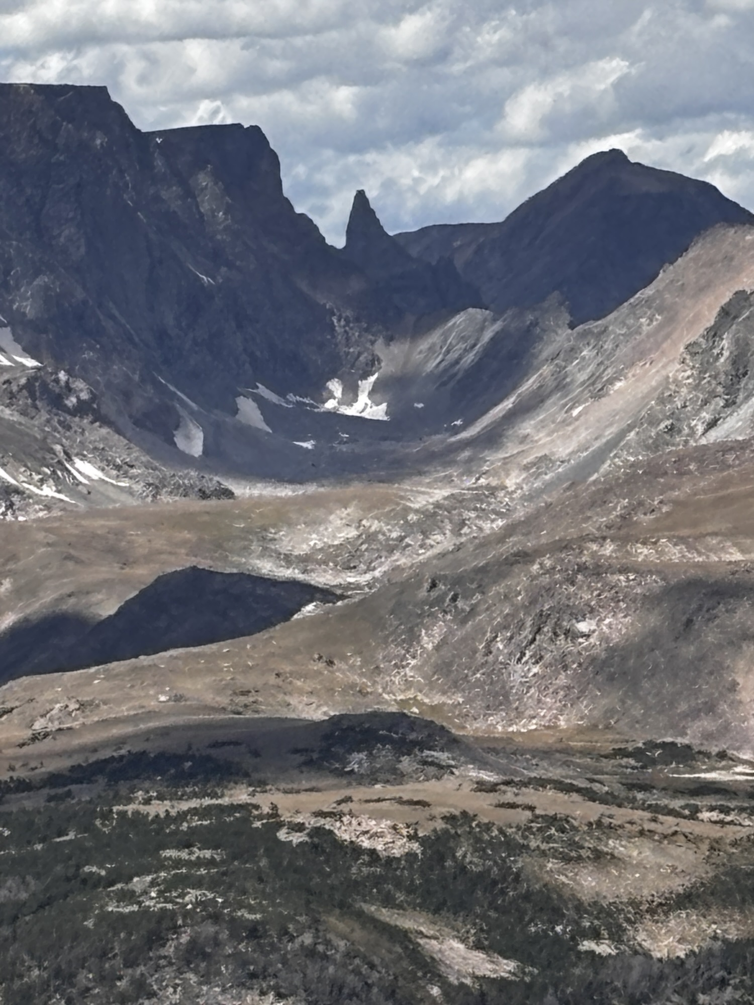
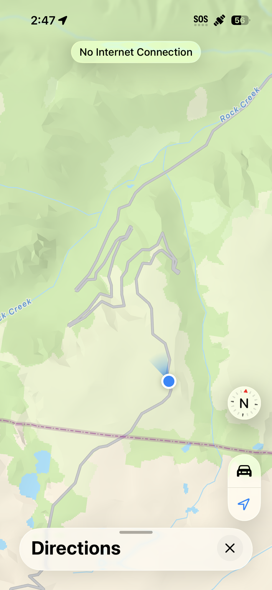
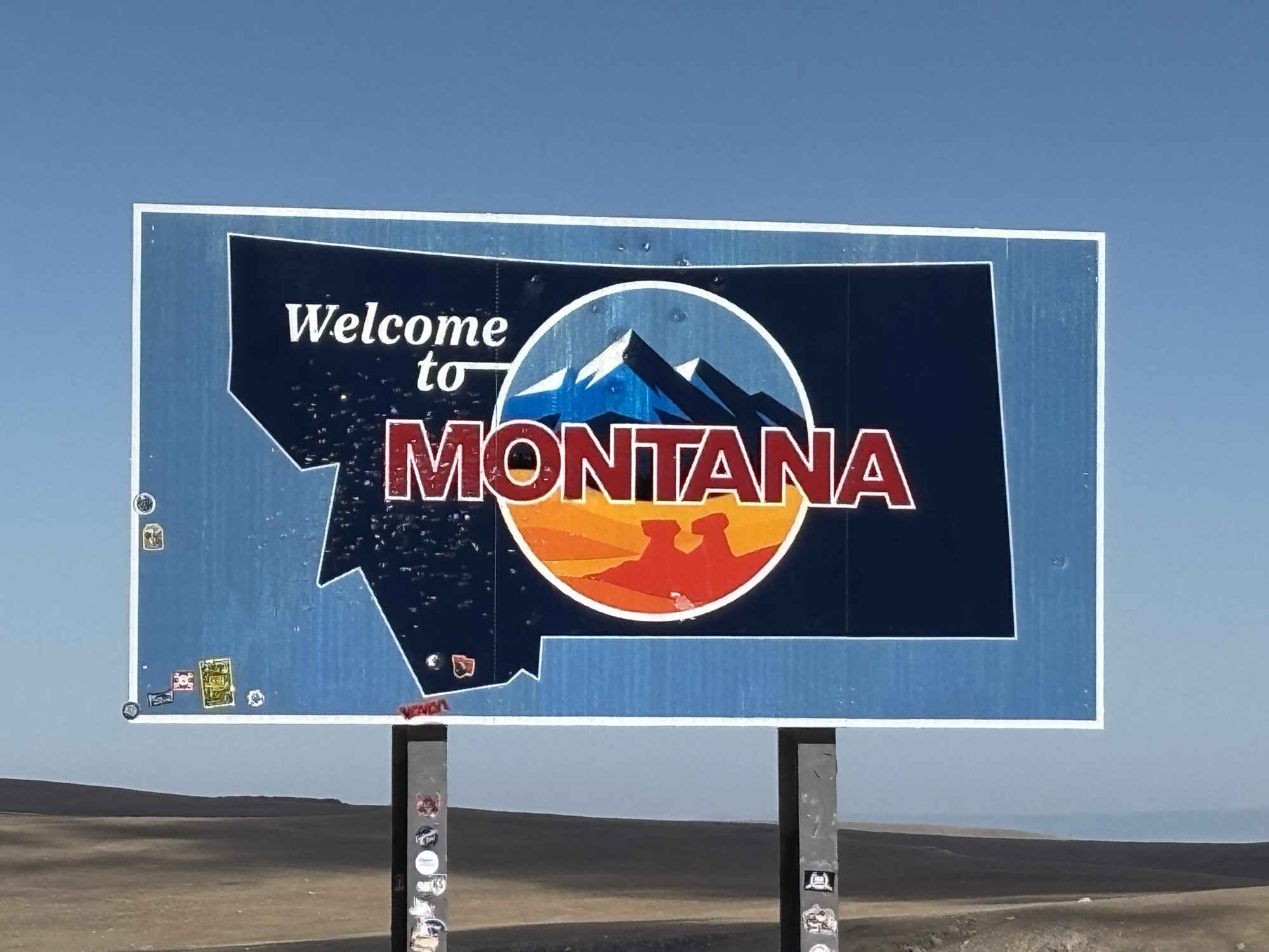
Next on the tour was the turnout at Beartooth Pass. This was also one of the areas that had major hairpin turns going up and then on the way back down. But everyone stopped to admire the view. The view down to the road with all its switchbacks and hairpins was also amazing to think we had just come up that road. And we still had to go back down the other side! And we did while also crossing into Montana on the way!
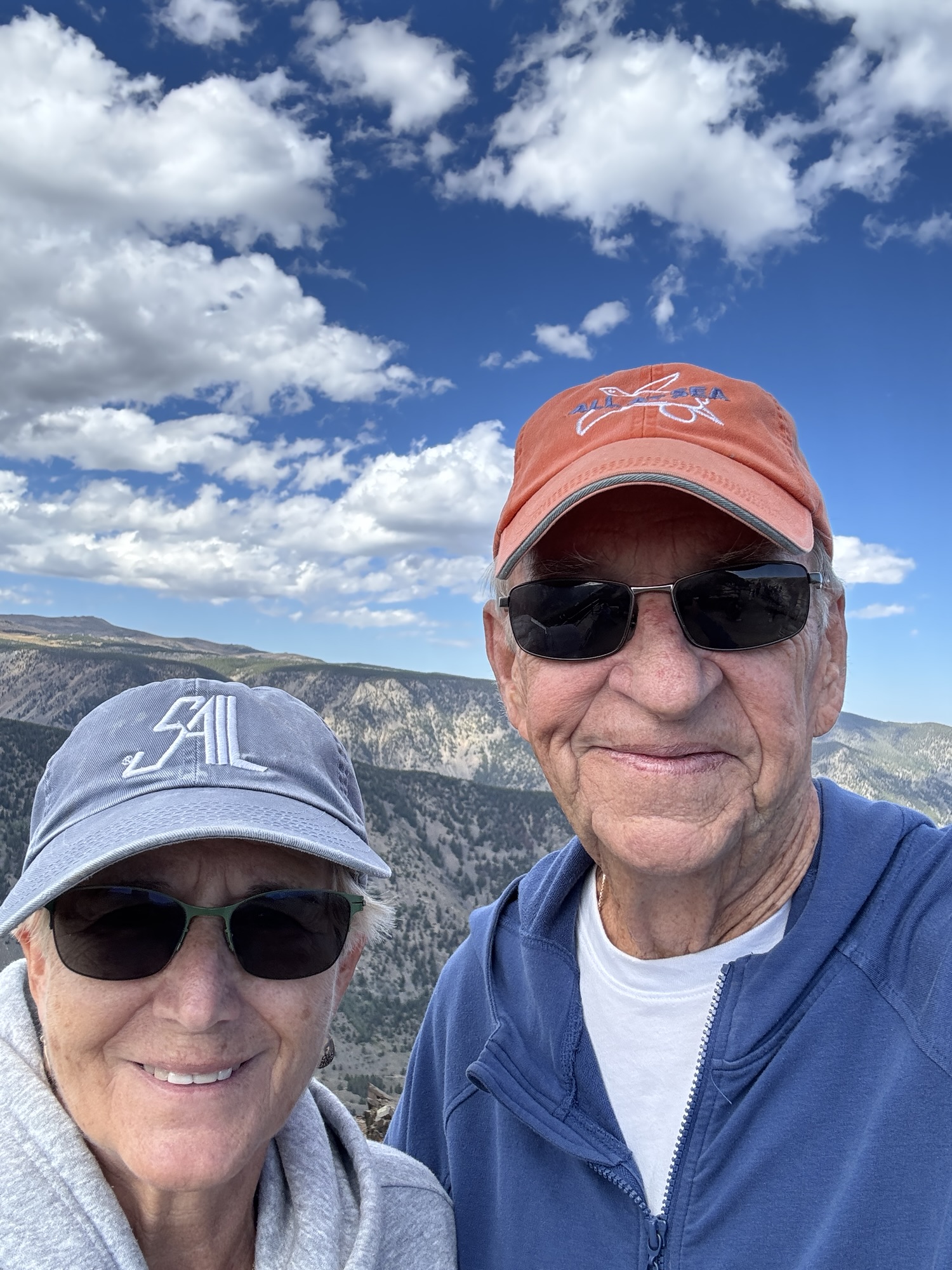
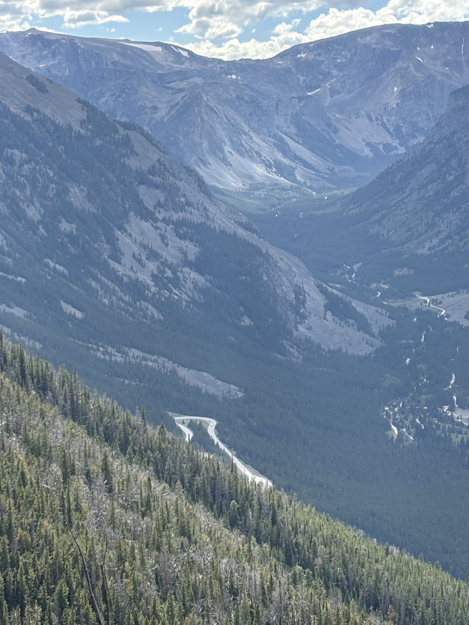
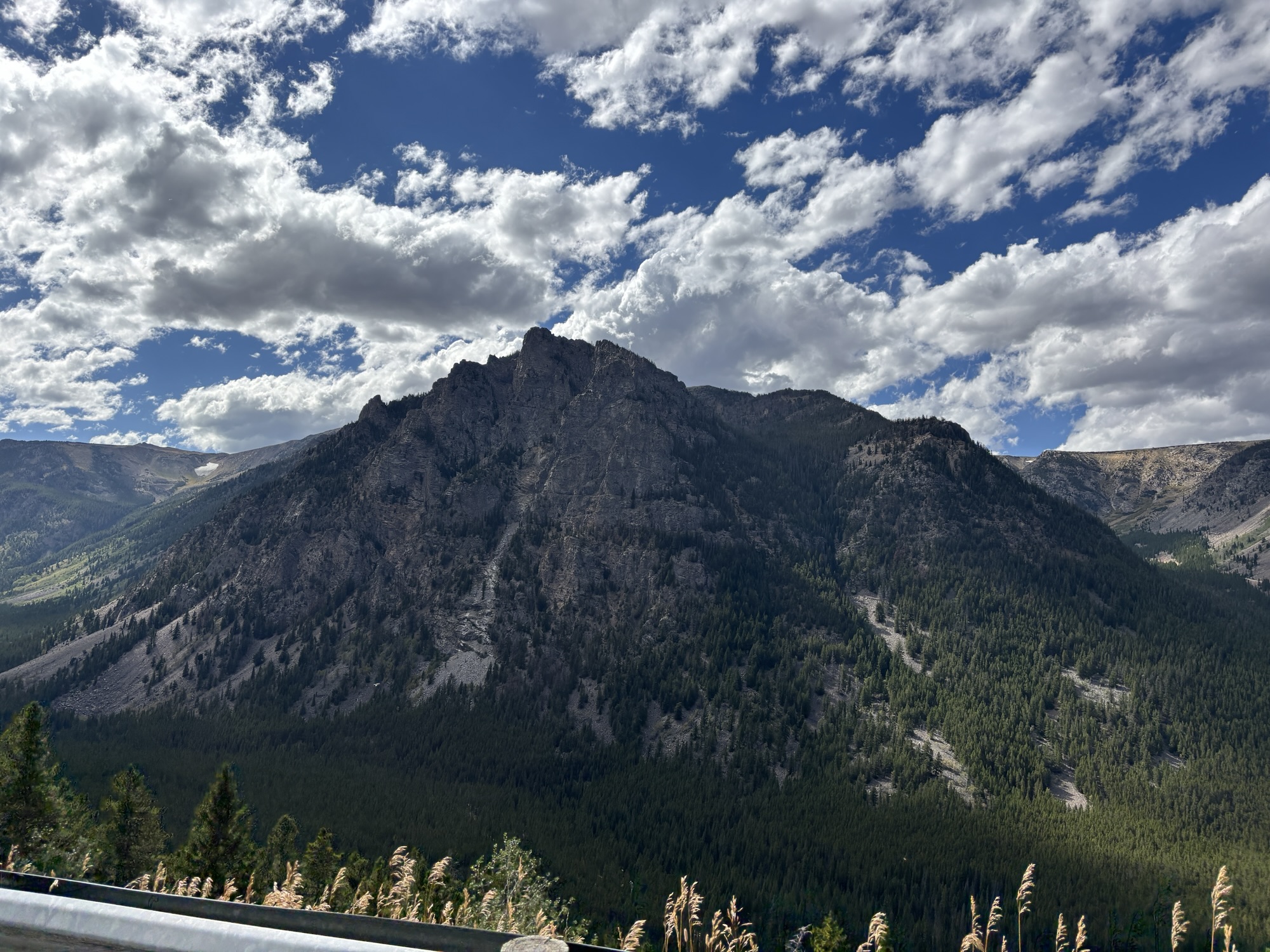
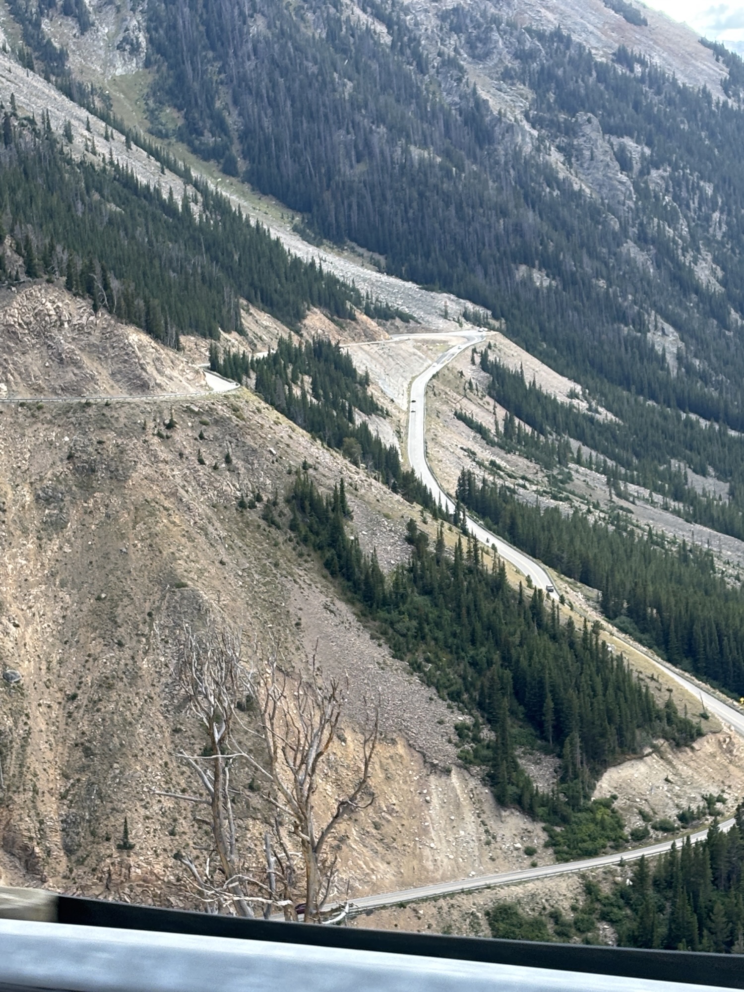
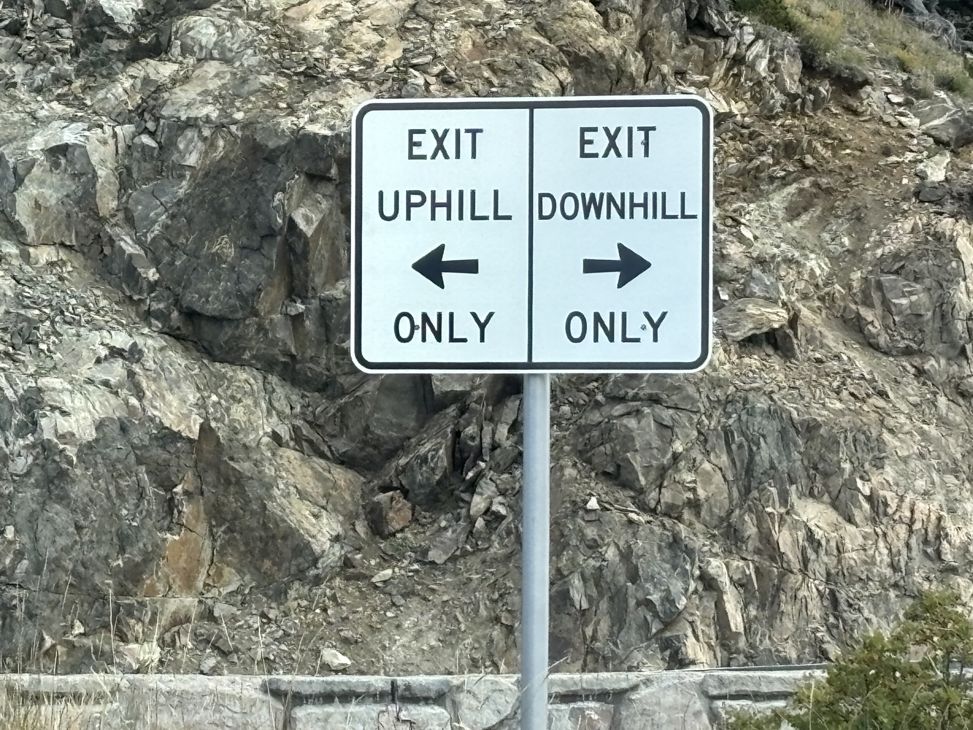
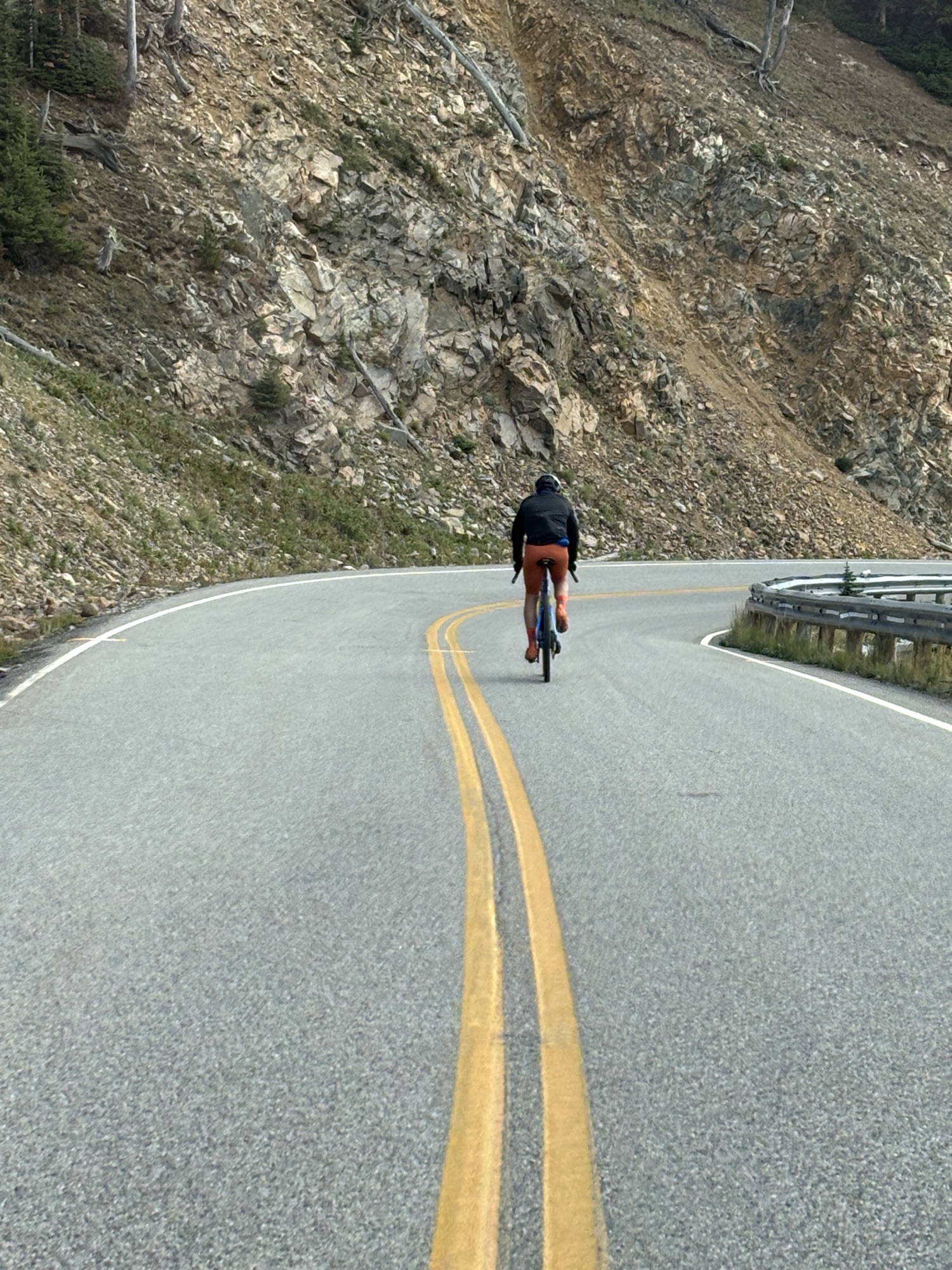
We also did it partway following a guy (probably in his 60’s) on a bicycle! I stayed right behind him and clocked him at about 25-30 mph! He had ridden up the road earlier and was now headed back! Just to think about both the effort to go up and then the danger to go down that road on a bike was inspiring. Gave the guy a lot of credit. But he knew what he had to do! Kudos!
At Red Lodge, we turned back toward Hwy 120 and our route back to Cody. So, two famous roads with lots of views, history, beautiful scenery, wild road turns, and great memories. We only drove about 100 miles, but it took all day!
So, our trip across Wyoming was just about done as was our whole summer. But we still had two really big national parks to go before heading to Boise. Know which one? Follow along to find out if you are right! “Til next time.
 Grove Yacht