
If you have read our previous Summary posts, you have seen that our normal driving day averages only about 130-150 miles. But these next two driving days will be much longer, because 1) there is not much reason to stop, and 2) we have a timetable coming up soon for a quick trip home. From Smithers, we headed east to Prince George and then to the border at Dawson Creek.
And taking an unusual route for us, we were on Canada Hwy 16 all the way to Prince George. This road is as close to an Interstate in the US as you can get with 4 lane divided highway. But if you look at the map, there is really no other way across the middle of British Columbia. We got up early and headed out!
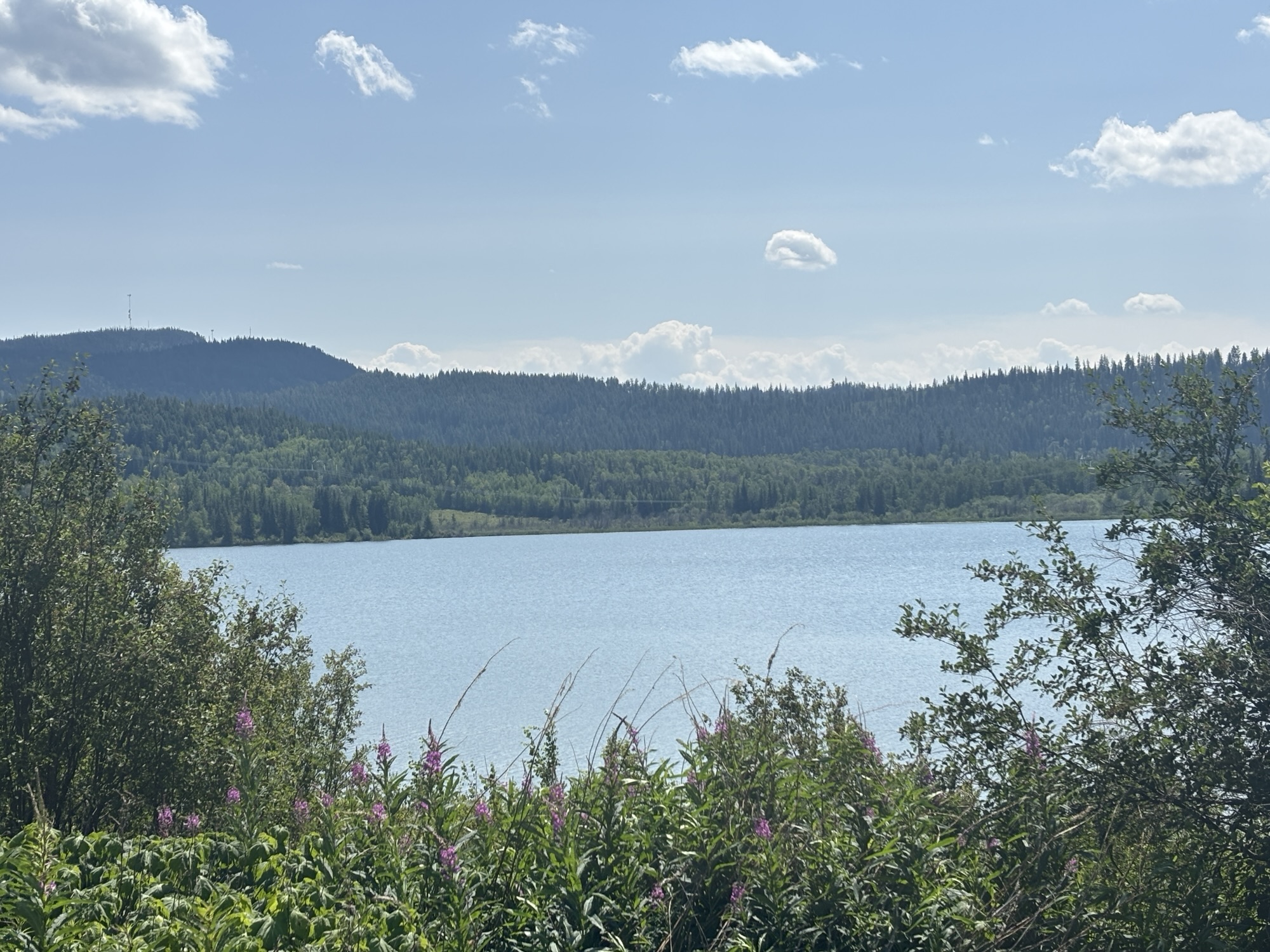
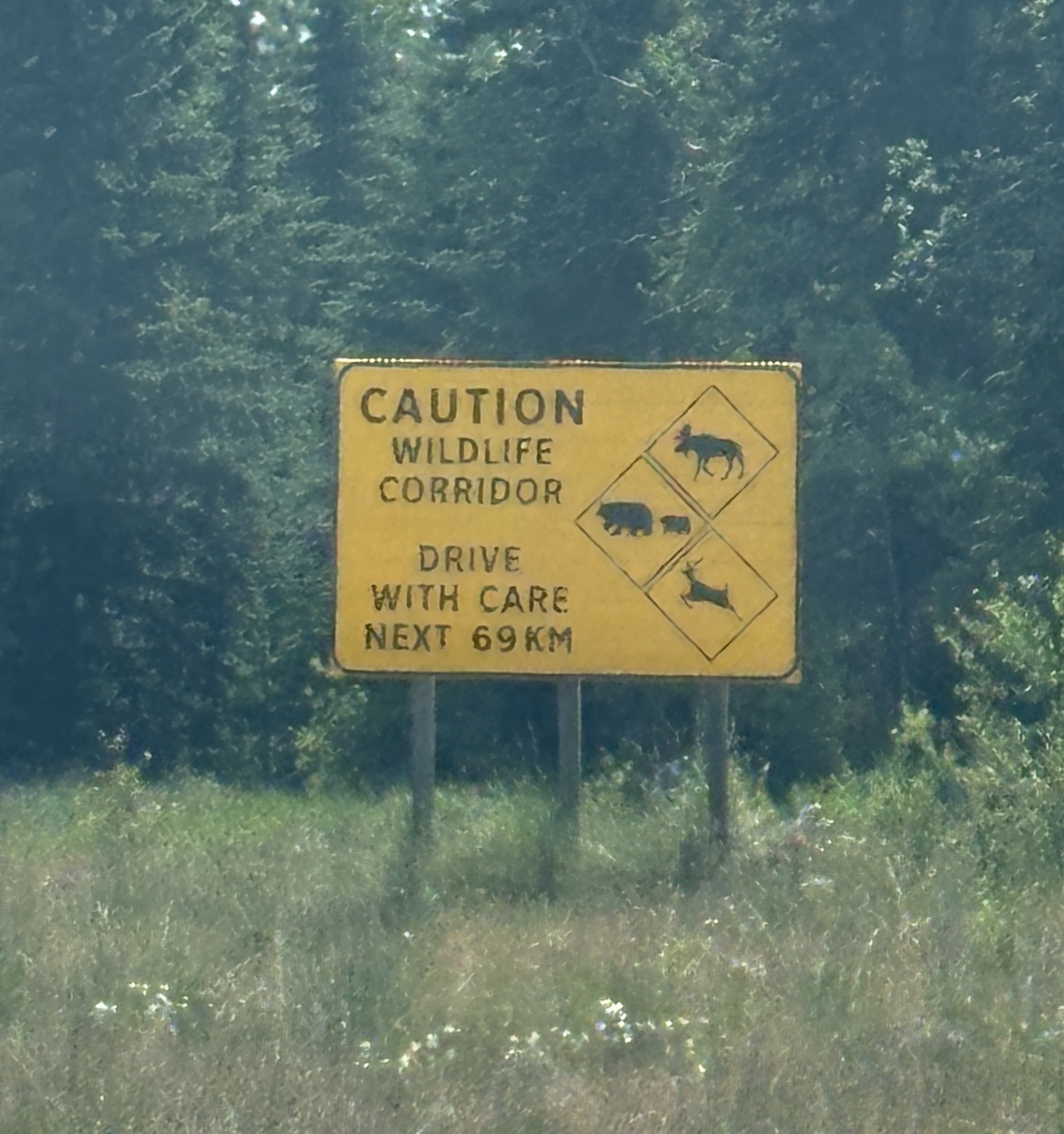
On Hwy 16, it was a nice drive to Prince George with a stop for lunch at a turnout overlooking Drywilliam Lake. Then a few more miles down the road we came to Vanderhoof whose claim to fame is being the geographic center of British Columbia! Wasn’t sure how that is measured but I took their word for it!! Along the way, we saw lots of signs to watch for wildlife on the highway, but we didn’t see anything to take photos of. Then on to the big city of Prince George.

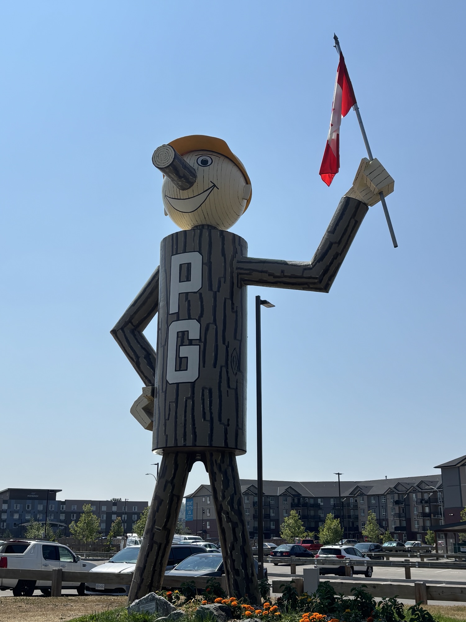
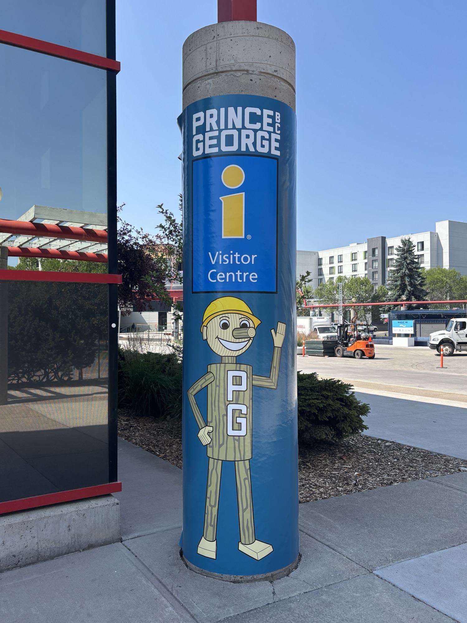
Our RV park was just north of the major intersection of Hwy 16 and Hwy 97 and the location of the statue of Mr. P.G! Built in 1960, he is the mascot for the city and used to promote the forest industry in and around Prince George. You see his image all around the city and on souvenir items.
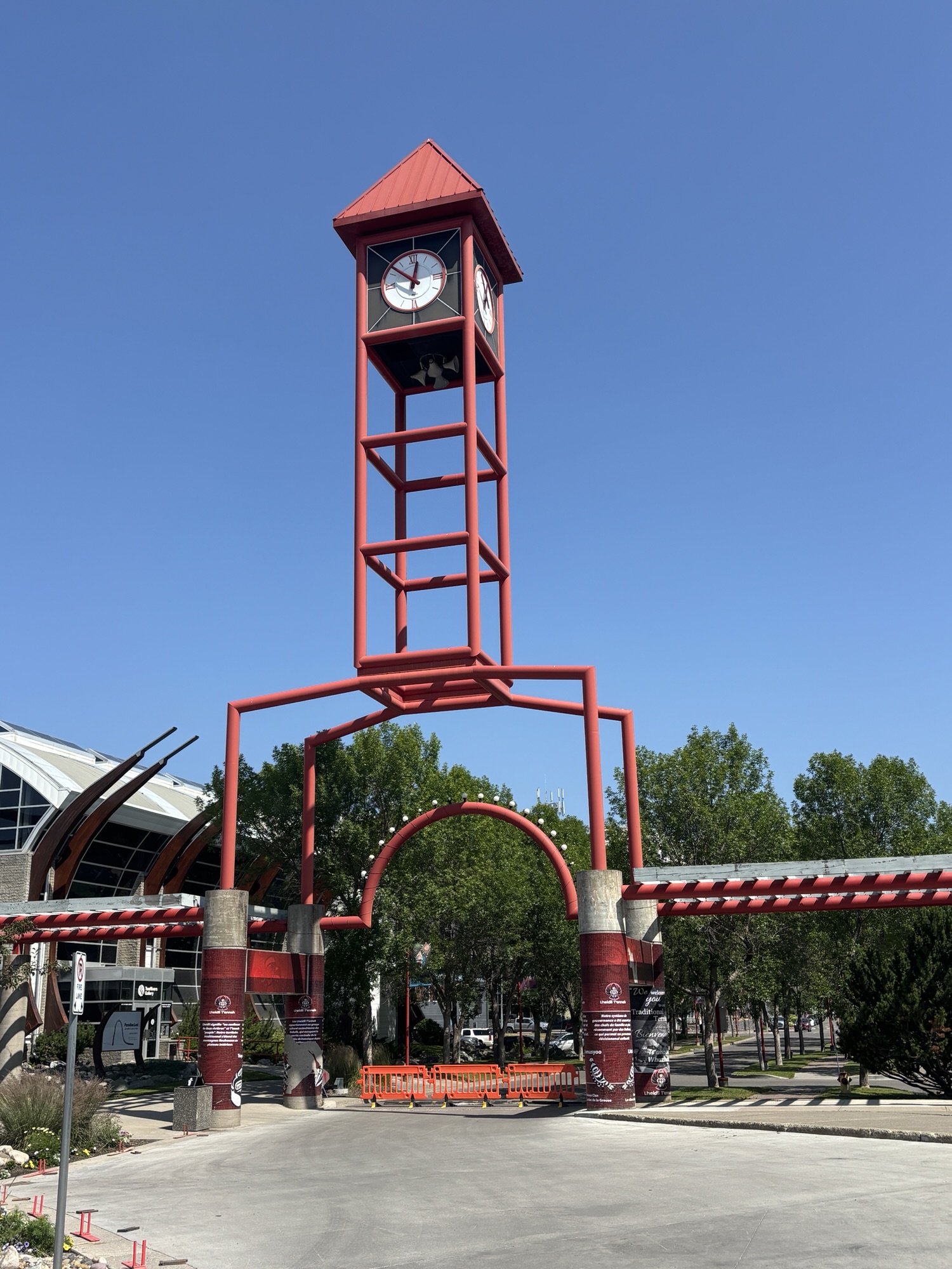
As usual we started out the next day looking for the visitor center. It is located in a large complex and park that was the venue for Prince George to host the 2015 Canada Winter Games. Large arenas for hockey, curling (of course), figure and speed skating and regular indoor sports plus one you might not know called ringette. Look it up. There was no ski jumping event, maybe because there are no hills close by.
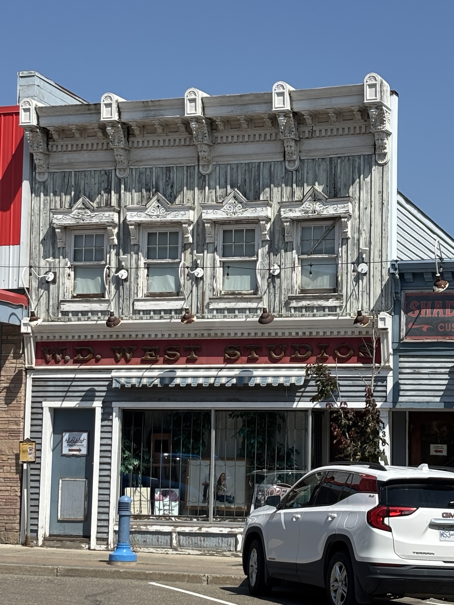
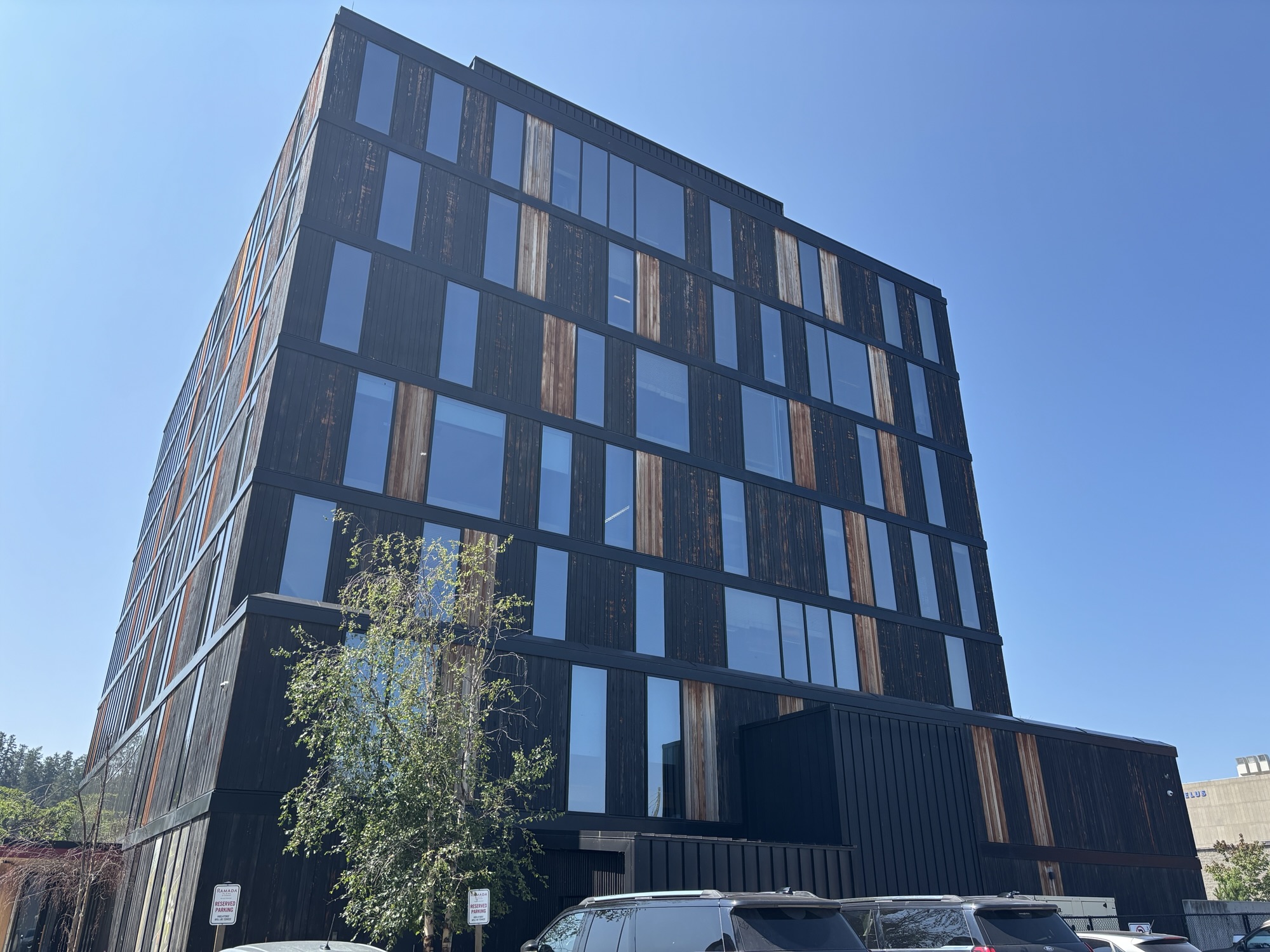
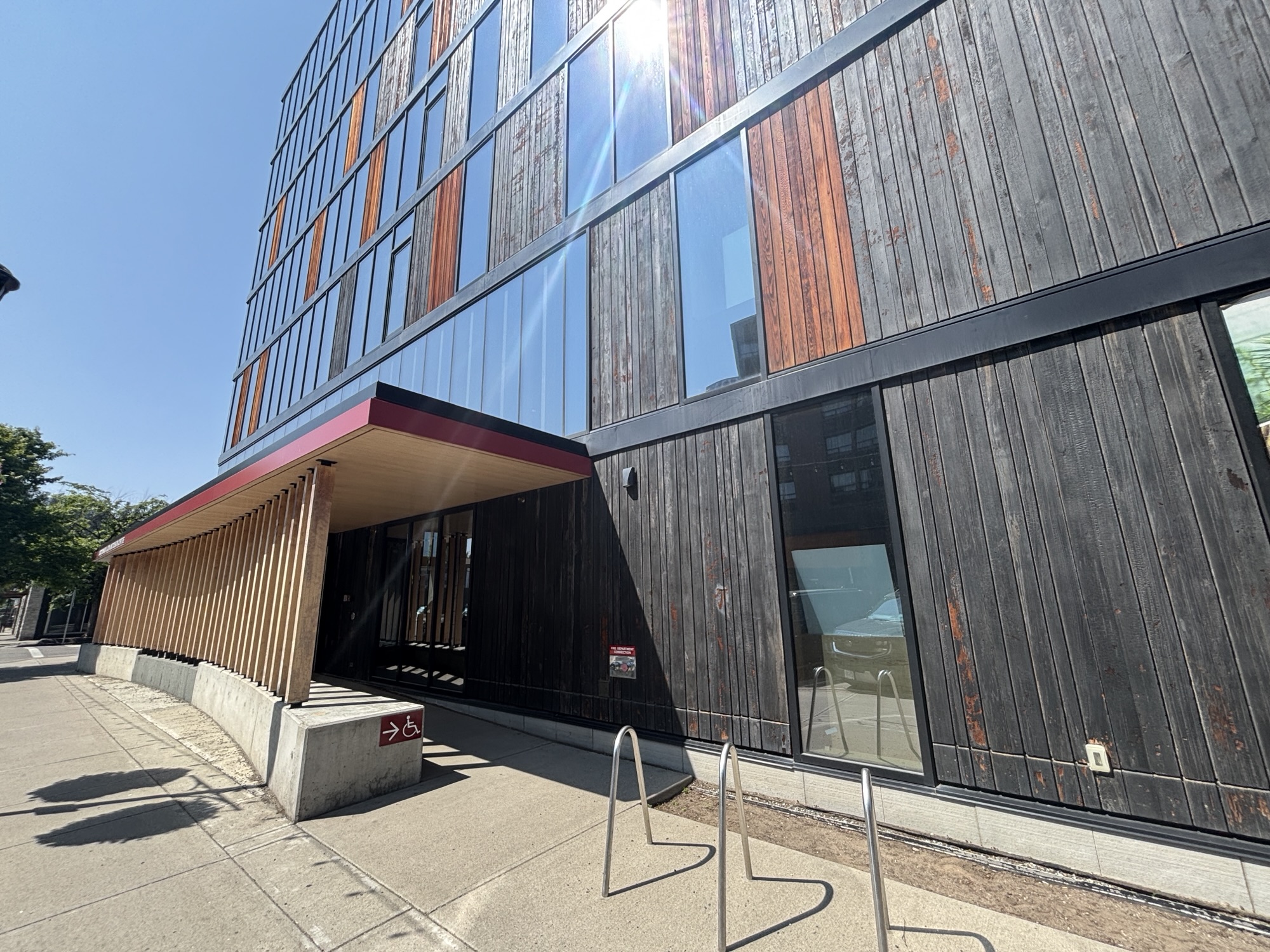
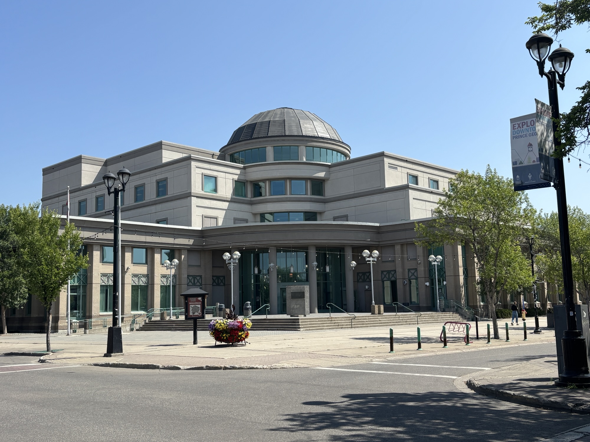
We found directions for a short walking tour around the downtown with descriptions of mostly what the buildings used to be. Although the WD West Studio, founded in 1946 and the first photo studio to offer one day photo processing, is still there and active. The other interesting building was the Wood Innovation Design Center. It was the tallest contemporary all wood constructed building when it was completed in 2014. Very interesting design.

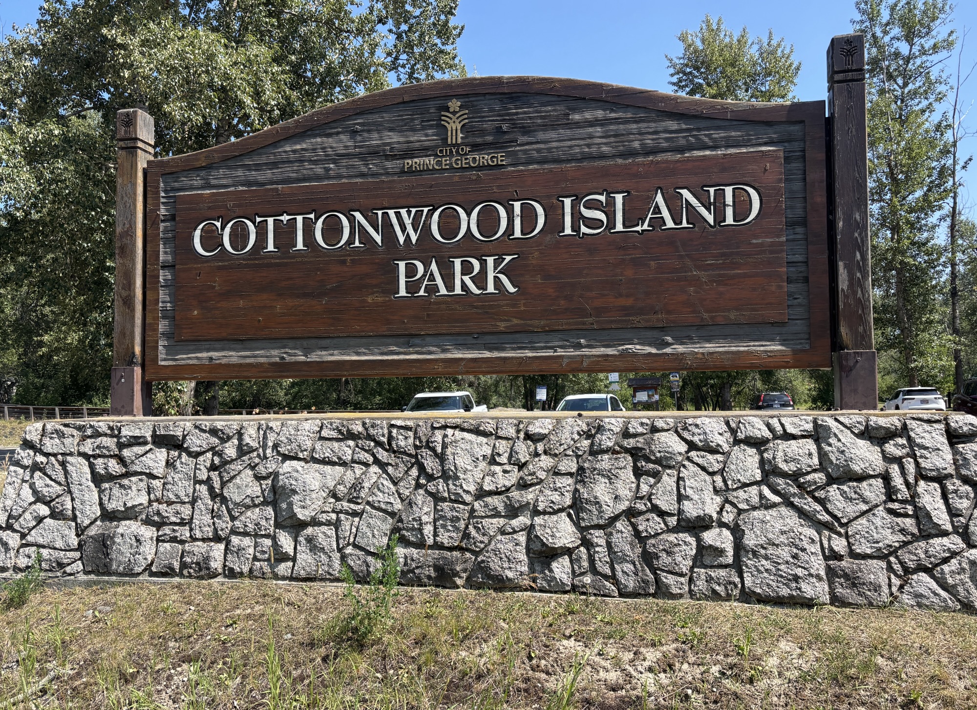
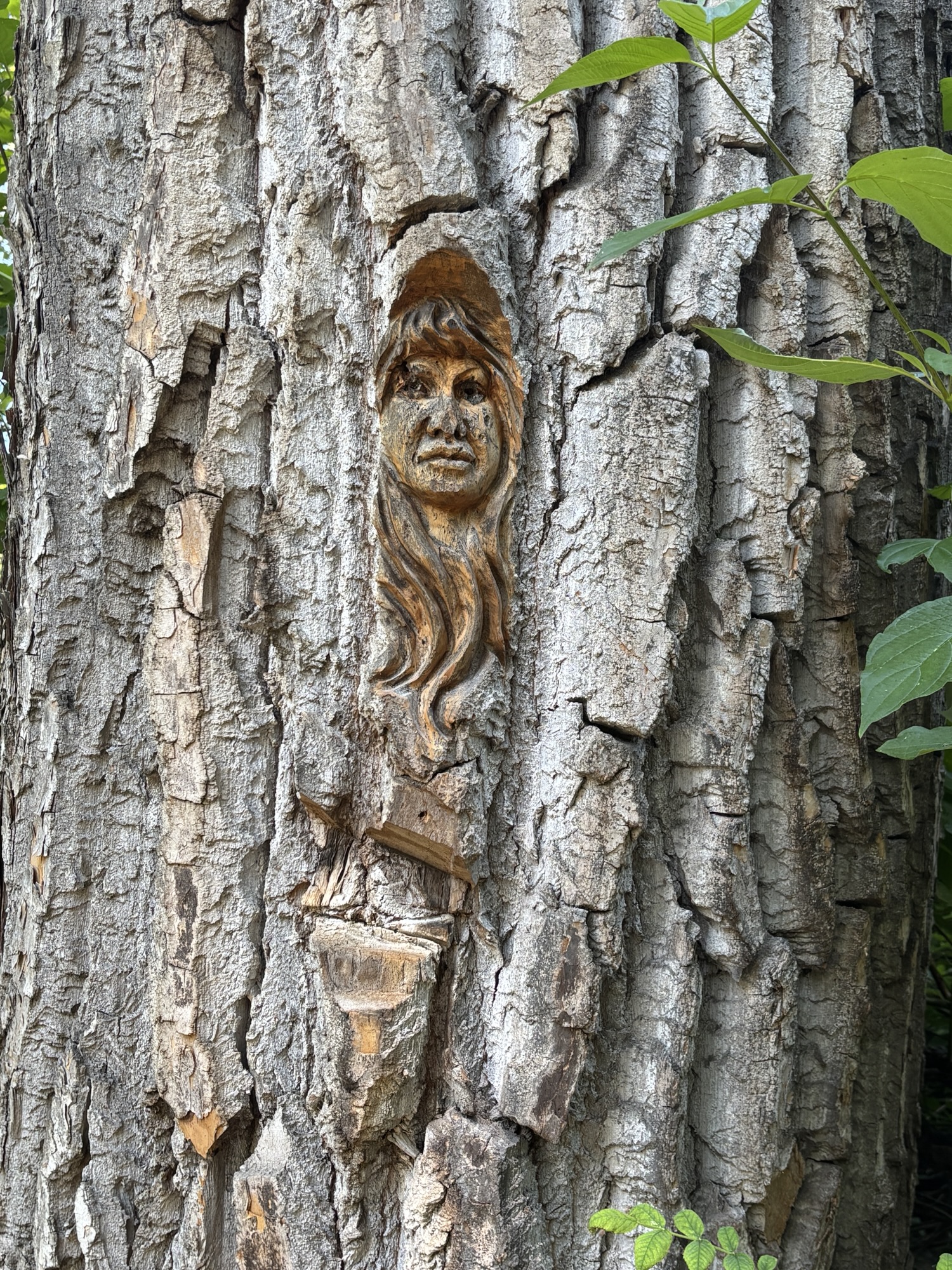
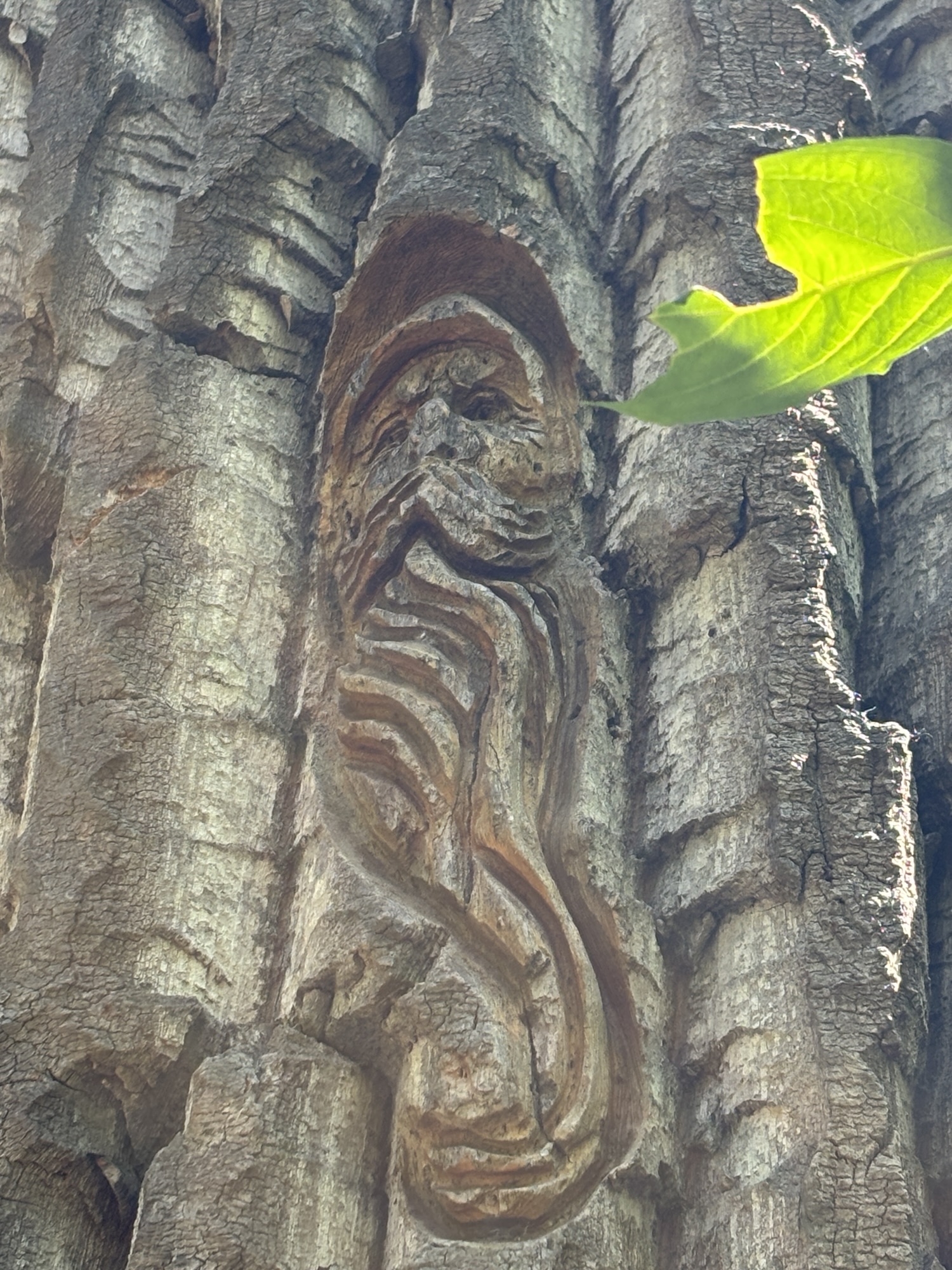
Next was Cottonwood Park. We started the walk and found a few of the carvings (like on Ferry Island in Terrance) but the mosquitoes were attacking so severely we cut that walk short. We picked up a sandwich and went to hike the trail at Forests for the World park. This park was created in 1986 to commemorate the city’s 70th anniversary and to celebrate its participation in Expo 86. It area was designed as a demonstration forest to showcase various forestry management techniques and the diversity of local flora.



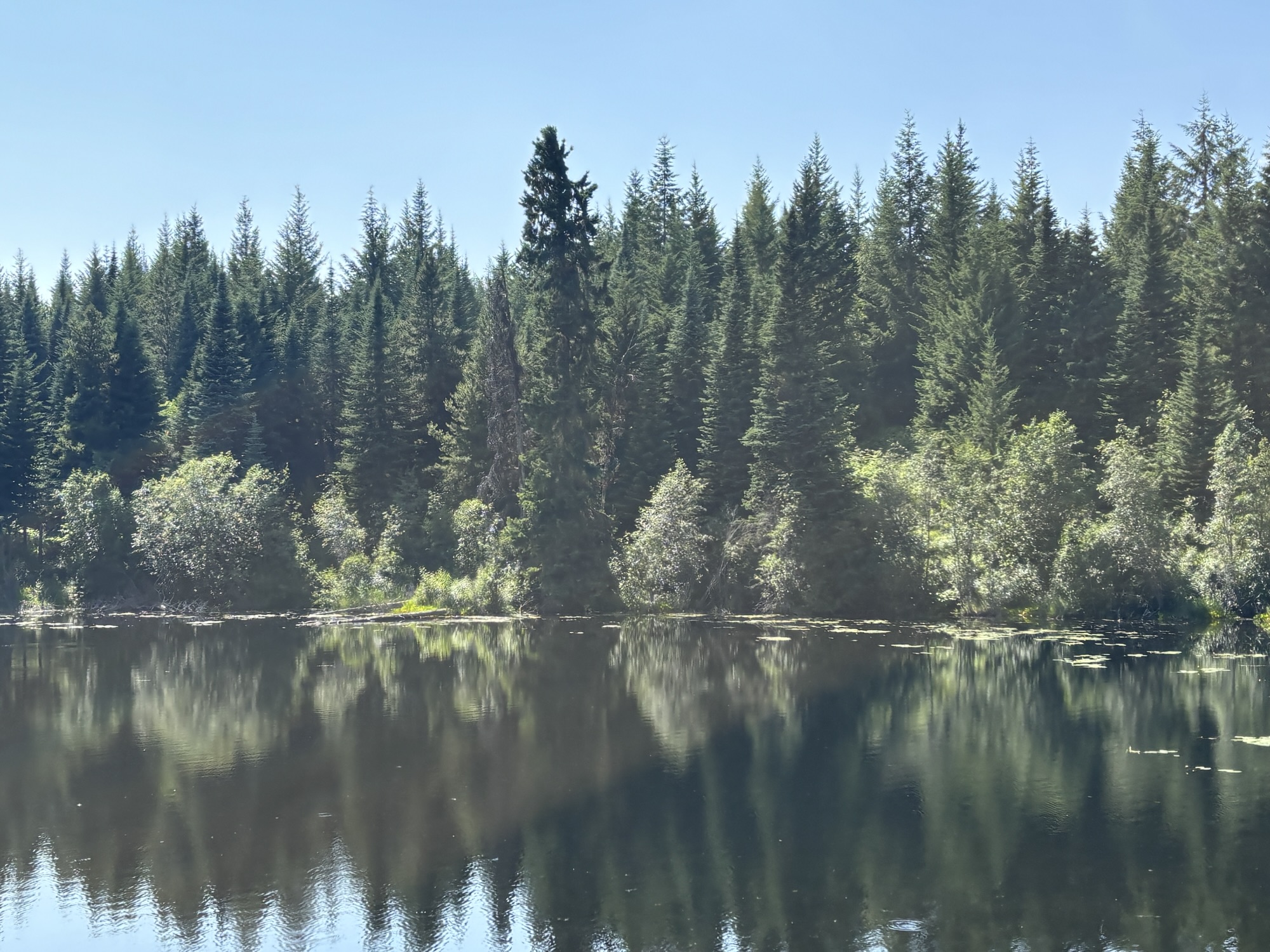
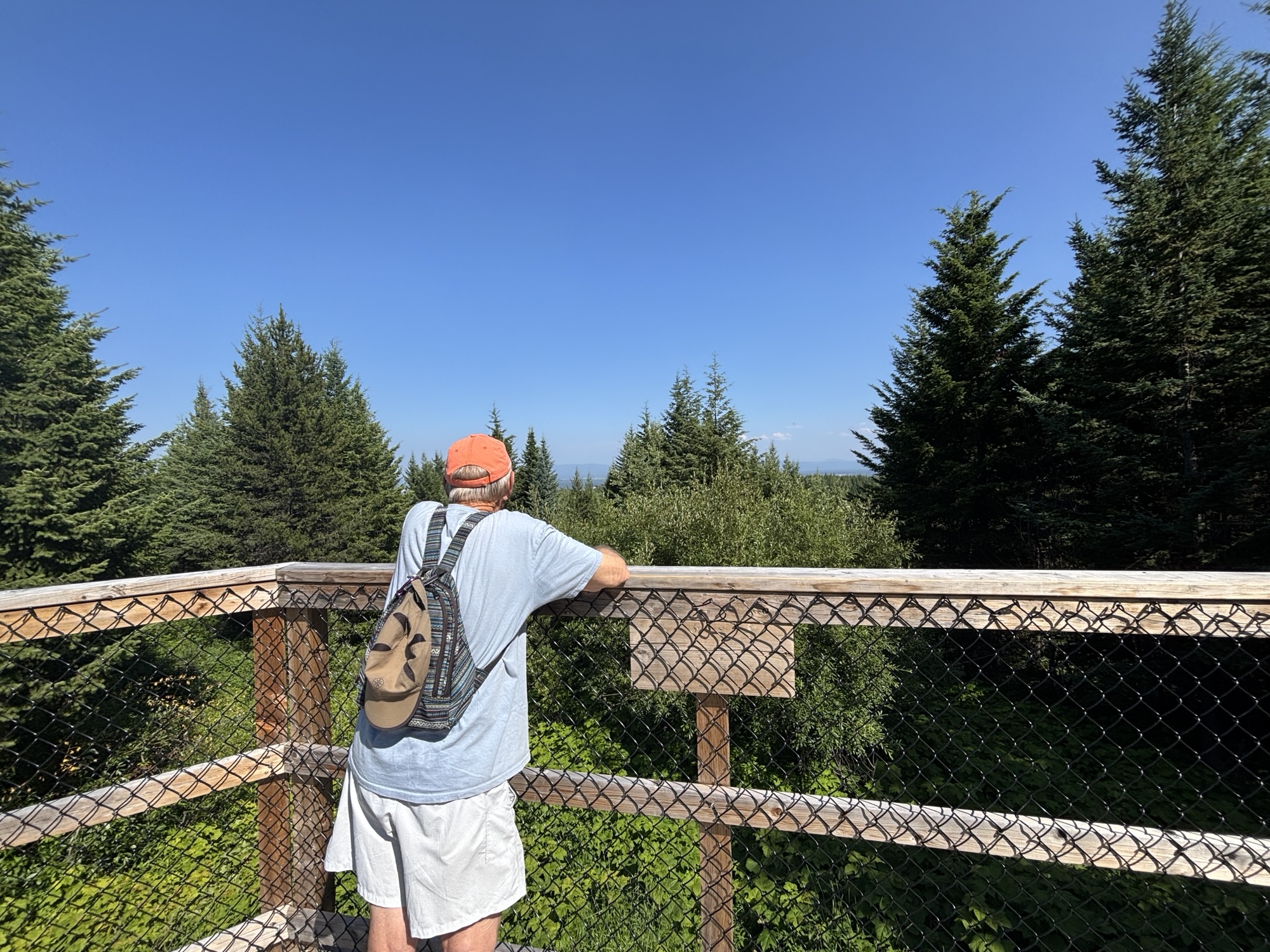
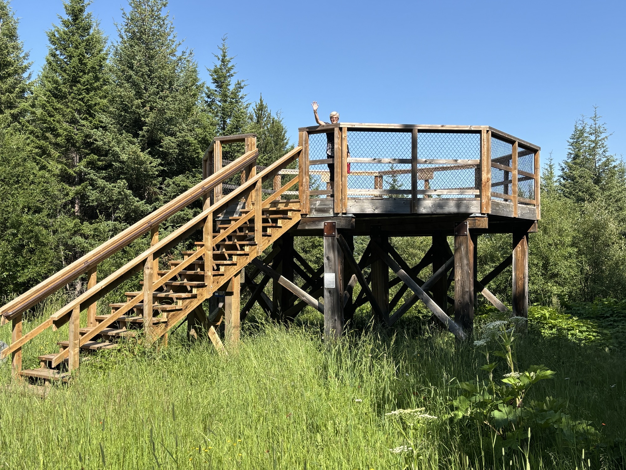
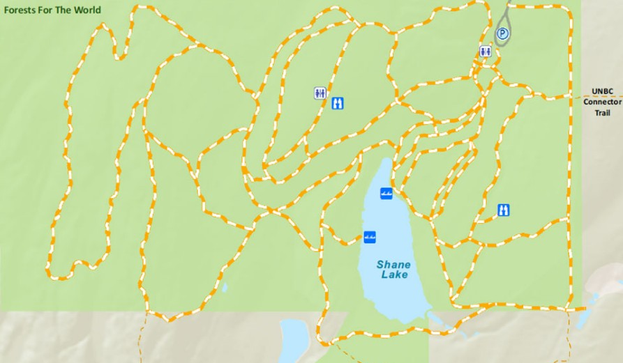
This time we took the bug spray with us and did a short ½ mile hike to Shane Lake where we enjoyed the sandwiches. Then we took a longer trail up to the lookout overlook platform. Unfortunately, there were a lot of tall trees close to the platform, so the view was not great. But the hike was nice and we were happy to stretch our legs. I had to include the park layout to show that the trails were a bit confusing!! So glad that Gail has All Trails app on her phone and we had phone service in the woods! But we still had trouble deciphering the directions in the park!!




To give you an idea of where we were in Prince George, if you look at a map, and keep going southeast on Hwy 16 for another 230 miles, you will have crossed into Alberta, will be back in the mountains and back in Jasper. We visited there last summer in mid-August almost a year ago. So, we have made a big circle. But this time we are going to head northeast.
Now we had another long drive for the day up Hwy 97 from Prince George to Dawson Creek. We were amazed at seeing so many logging trucks that passed us heading back toward Prince George. So, we decided to count them. Over 20 in the first hour and 37 for the entire drive. I was in awe of the drivers and their loads of logs. The trucks were interesting too. Some had one long trailer loaded with long logs. Maybe 40-ish feet long. Some had two trailers. One was semi-long and the other shorter. And some had 3 short trailers loaded with short timbers. And the drivers were driving like they had done that road before!!
(A few days later, I saw a posting on Facebook of one of the long log tractor/trailer rigs overturned back at the intersection of Hwy 16 and 97 in front of Mr. P.G. – Not really surprised as the loads and therefore the weight is so high. Could have even been one that we counted! But the location was the surprising part to me!)
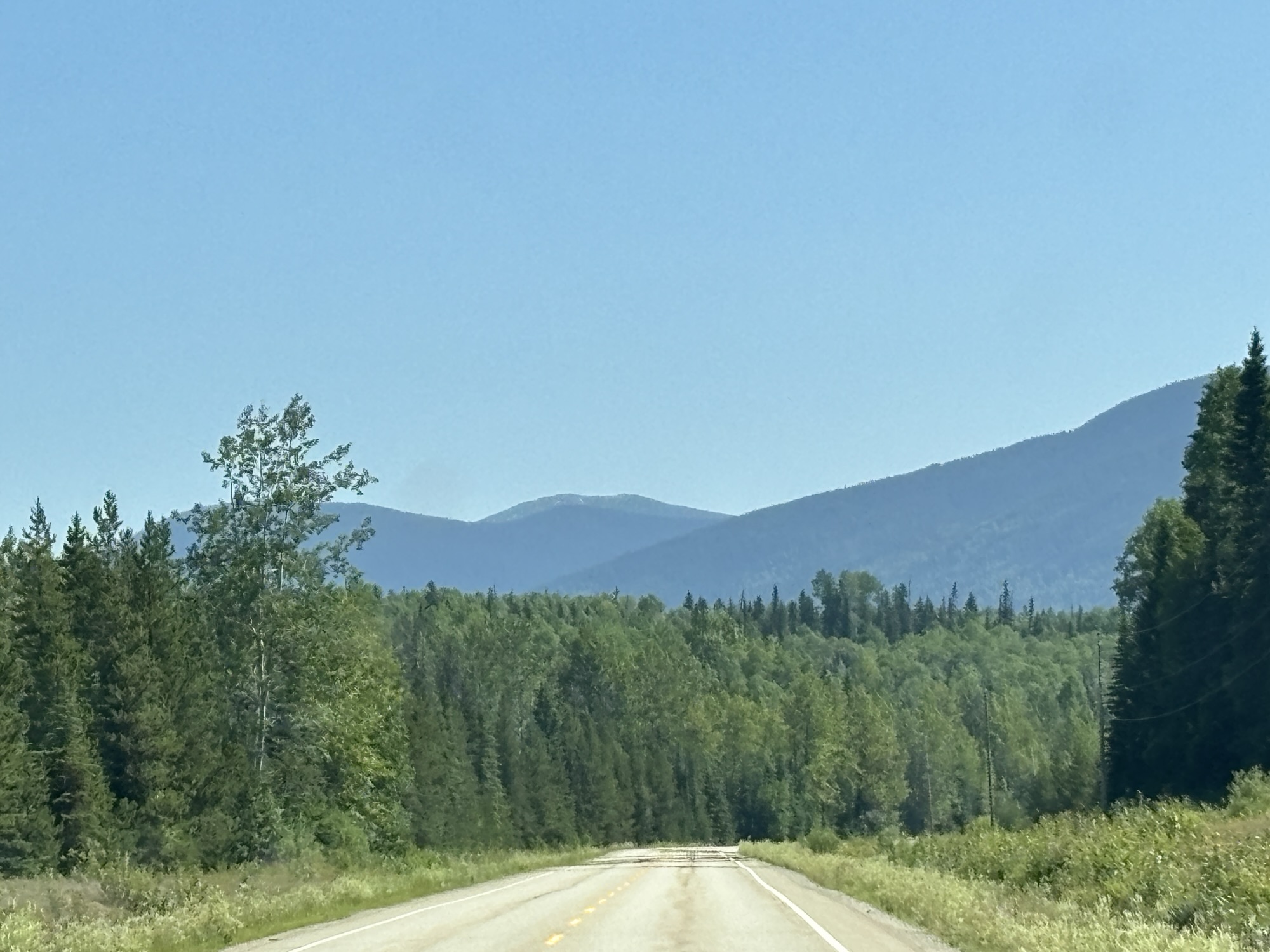
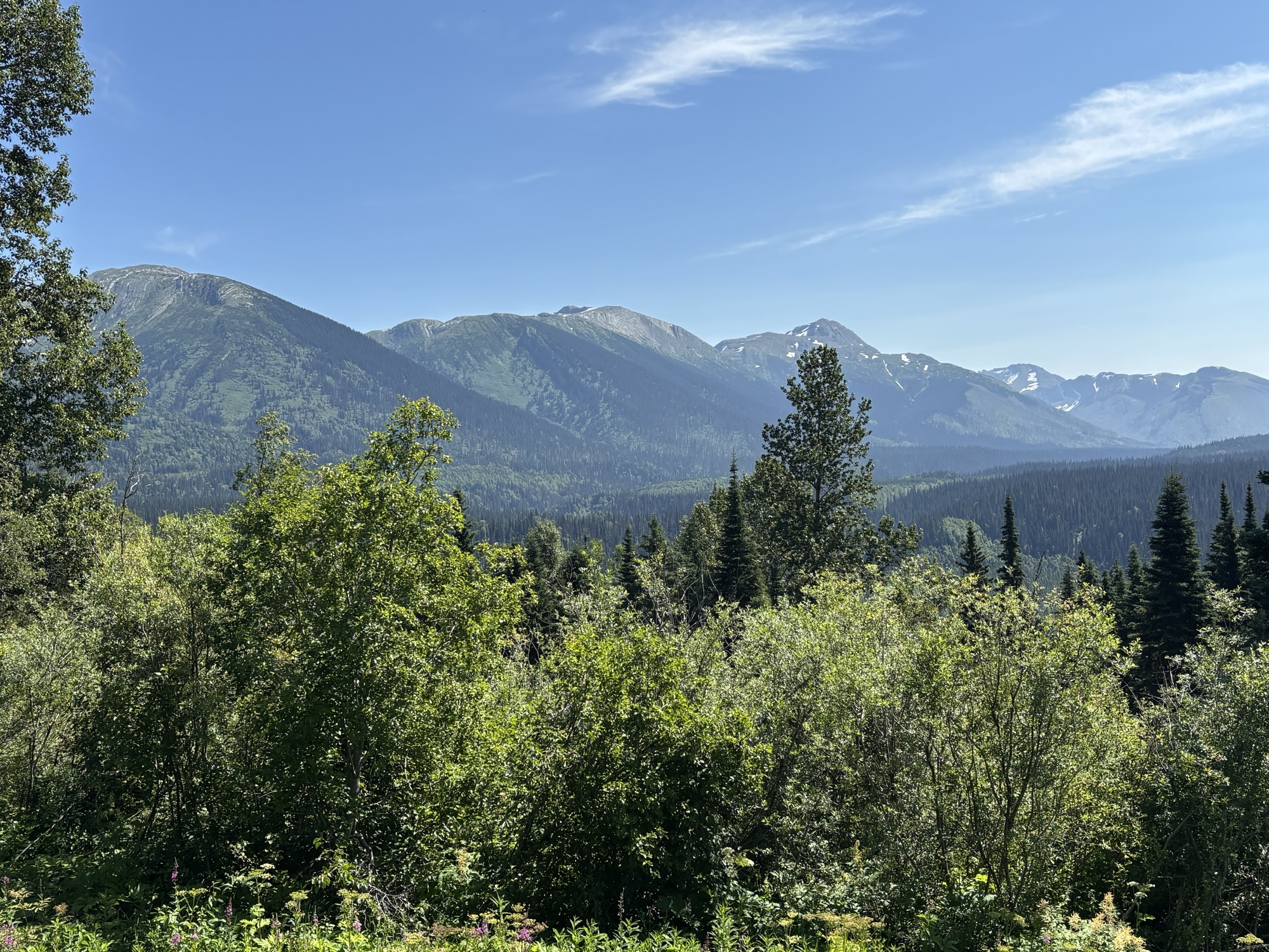
The first part of the drive was into the mountains and lakes region. There was a smokey haze in the sky from of the forest fires further north, but the drive was pretty and uneventful. Then about 2 hours in we came to an accident. A semi and trailer had gone off the road and into a ditch. It was not a new accident and there were just a few official-looking people around the scene. We didn’t stop but commented that in the 3 summers of driving the RV and over 24K miles, we had not come across any accidents. But that changed again in just a few more miles.
As we came around a curve, there was a group of about 30 Harley bikers frantically parking, getting off and checking a new accident. One of their group had skidded into a pickup and hit the driver’s side front tire. He went into a ditch across the other lane and some of the bikers were attending to him. The pickup driver seemed okay. We were the first to come across the accident, left room well behind the pickup, and began a long line of cars behind us.
On the two-lane road there was nowhere to get by. I think we were about 30-ish miles from any town of any size in either direction. And there was no cell service in the area! We tried to help a little with the Starlink but weren’t getting any service with it either. Short story, we found that the biker was injured but talking. The guys cleared the road of broken parts, and after 30 minutes or so the traffic began to move. We heard that someone had reached 911 and, although we did not see any emergency vehicles for some time, eventually we did see 4 heading toward the accident. We have tried to find more information but have been unsuccessful. Hope all turned out okay.
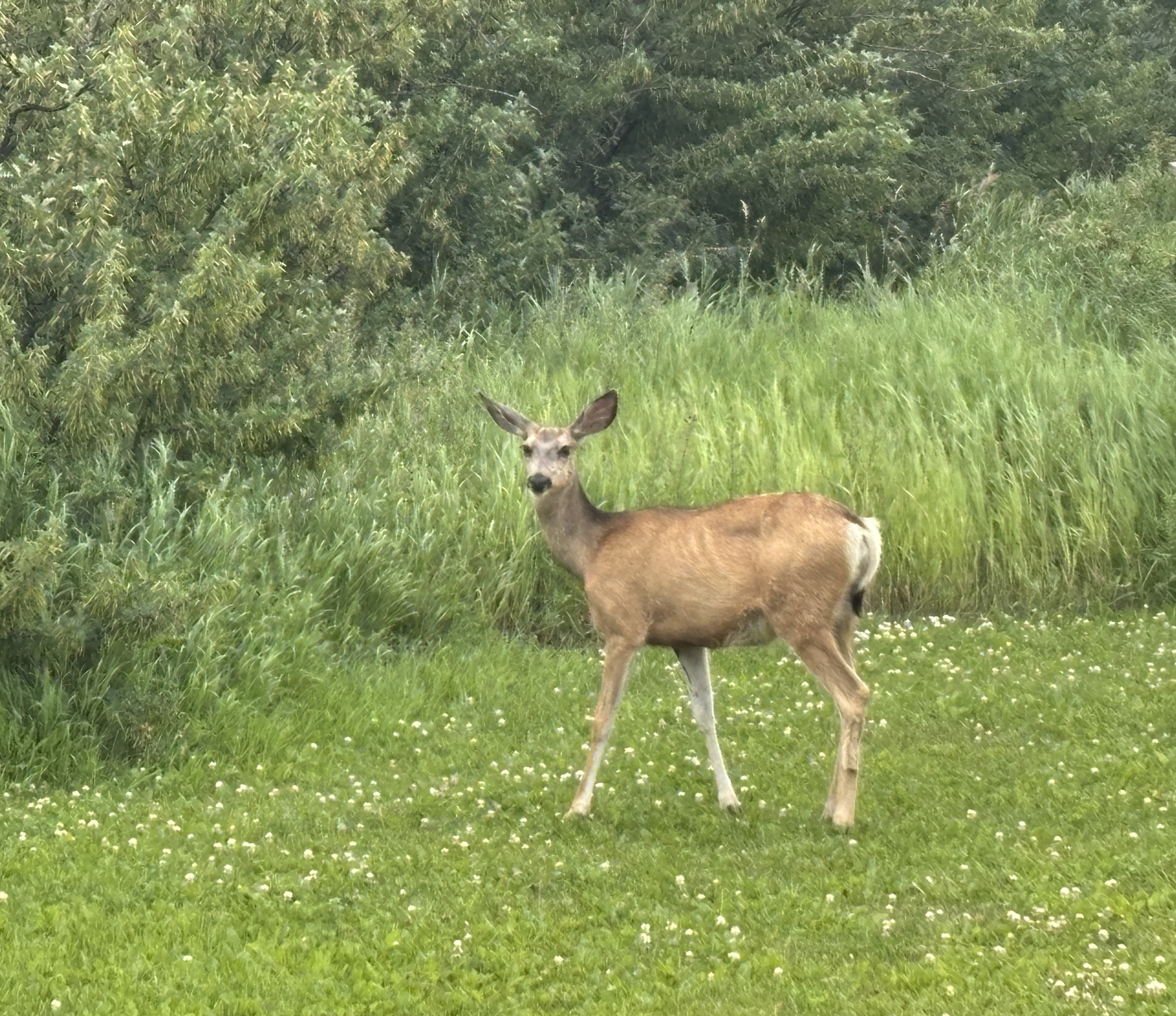
On a brighter note, we did see two more small black bears on the way. One crossing the road and one in the high grass along the side. Brief sightings but still exciting. That makes 6 for the week!
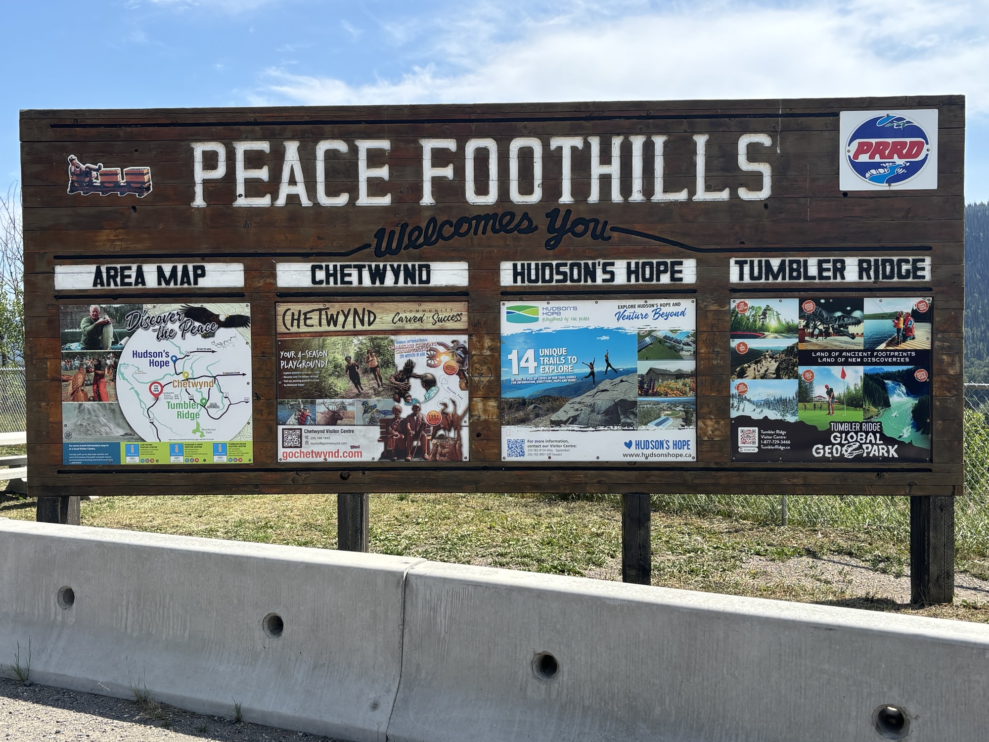
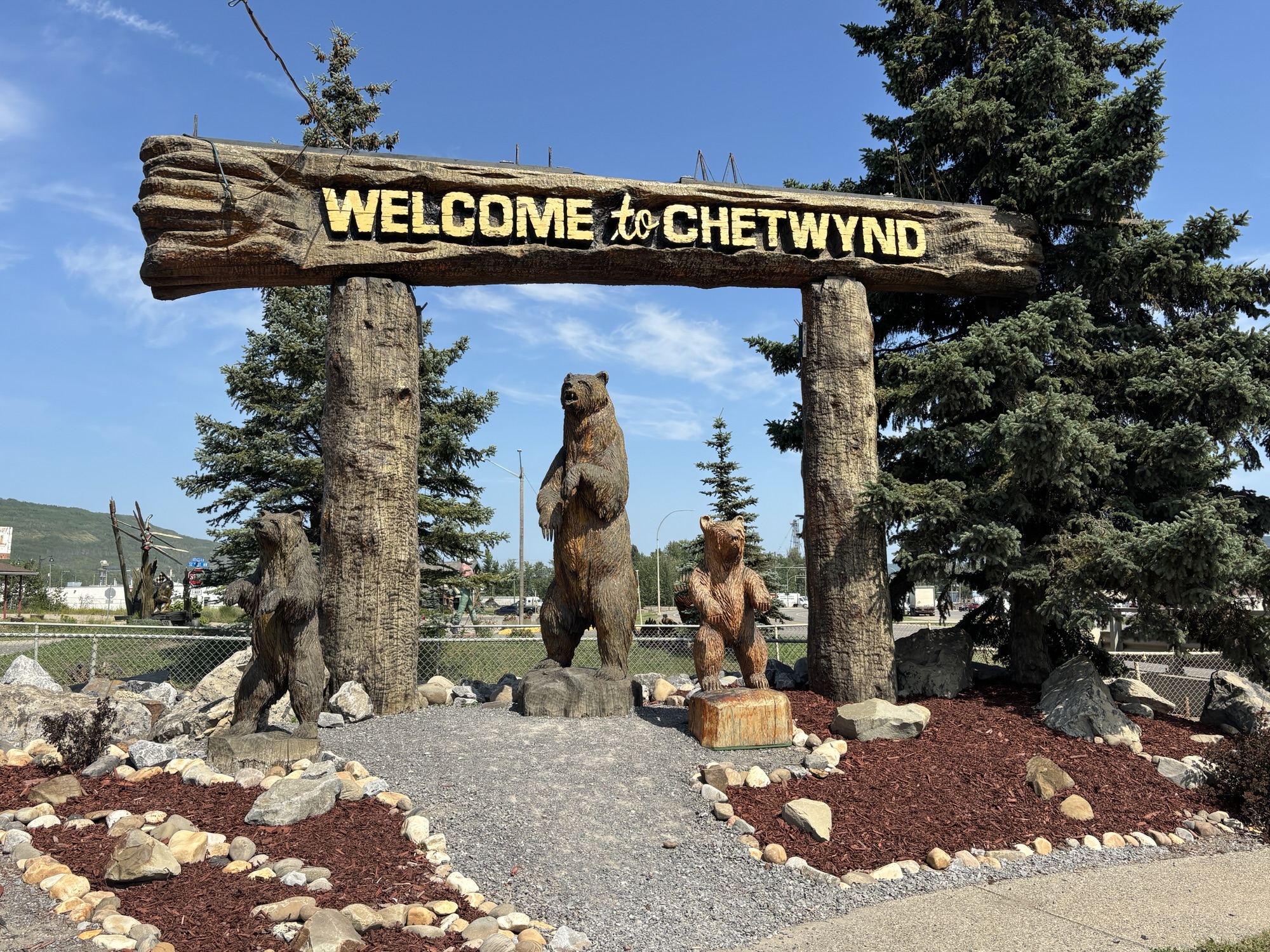
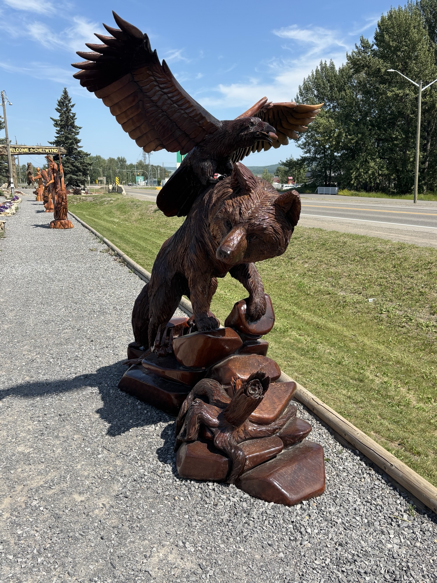
The next town is Chetwyn and that is probably where the ambulances came from. We pulled over there to get out and stretch our legs. Chetwynd is famous for hosting the chain-saw carving championships! And there are examples of the works on both sides of the road. Of course, we could not take photos of all of them but the ones we got are very representative! Then on to Dawson Creek.

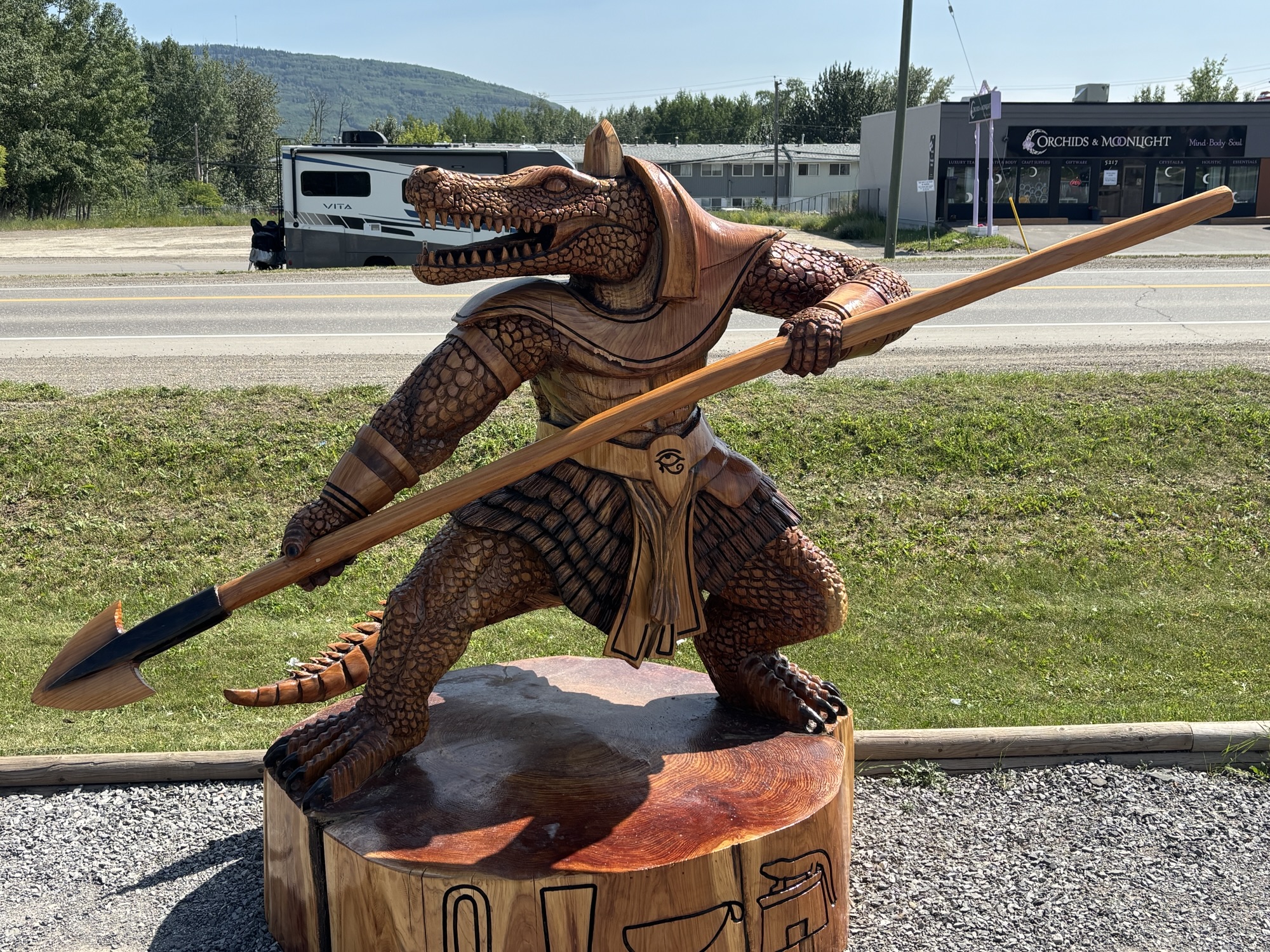
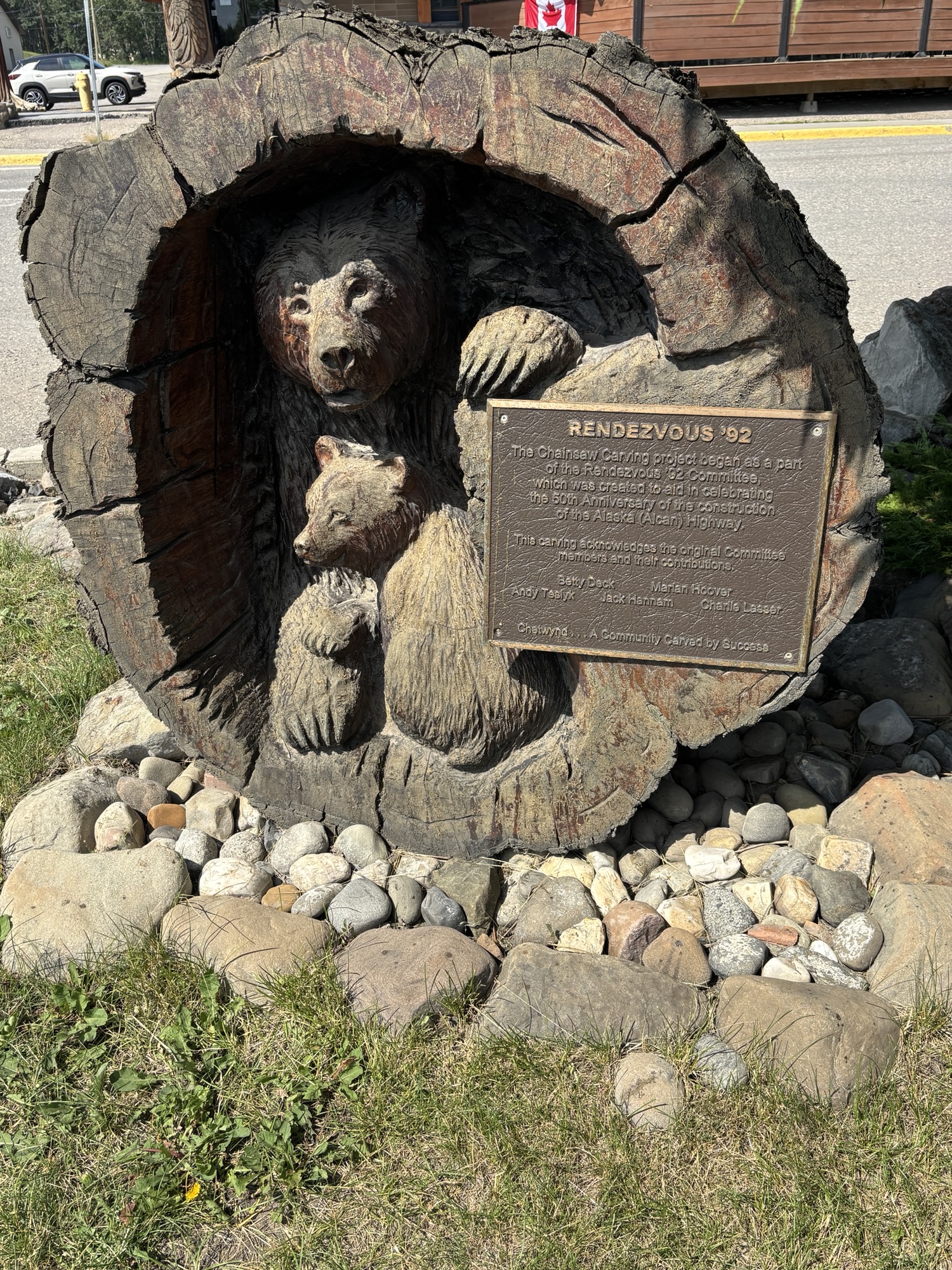
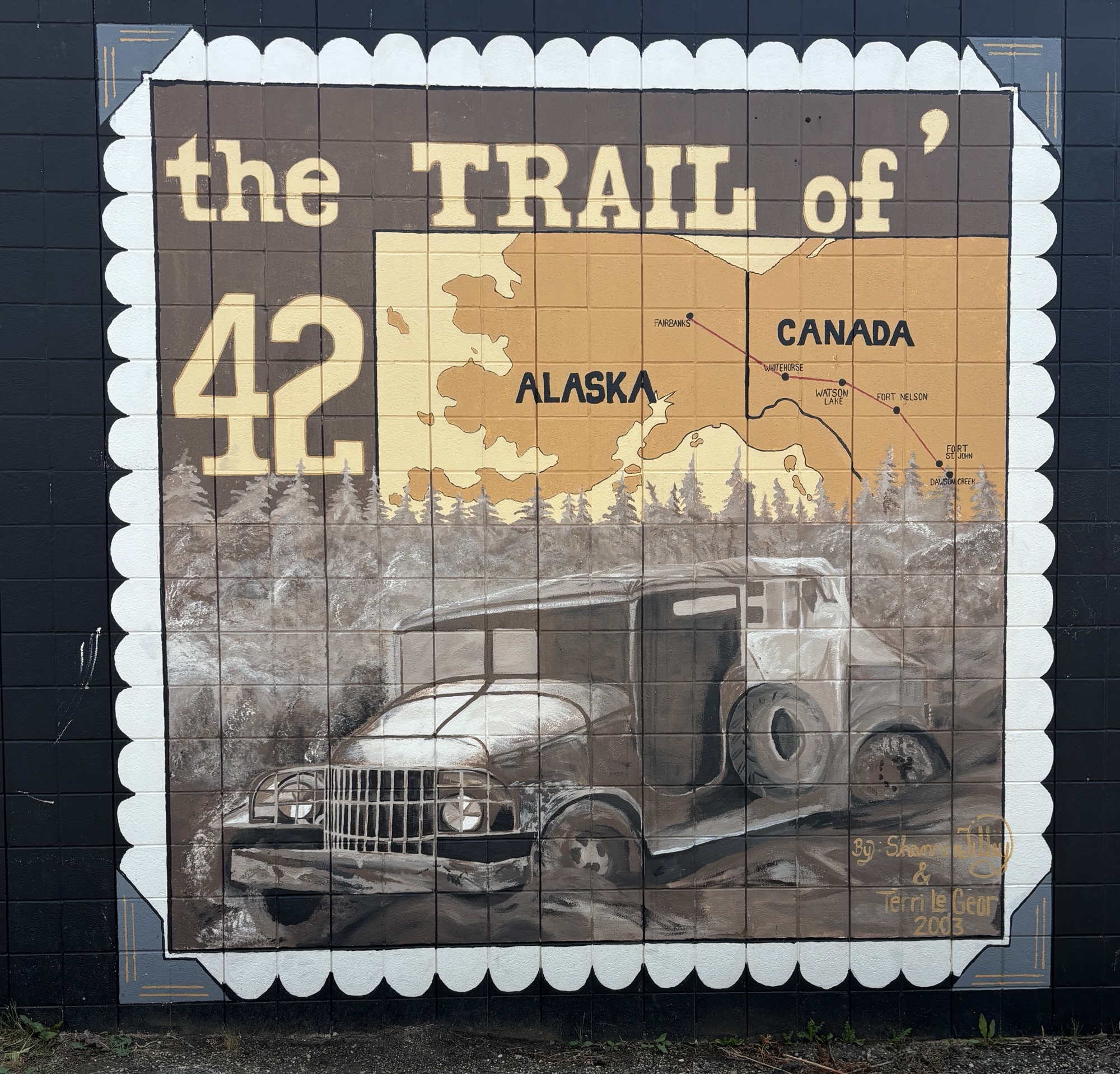
Dawson Creek is right on the border with Alberta and the end of our trip across the Providence of British Columbia. It’s most famous for being Mile Marker 0 for the Alaska (or ALCAN) Hiway. Here Hwy 97 makes a big left turn and heads northwest 1400 miles to the official end of the highway in Delta Junction, AK just 96 miles short of Fairbanks. There are advertised “Caravan” RV group trips for the drive that gather in Dawson Creek. And as we pulled into our park, one group had just left and there was another was due to arrive the next day! You can drive it yourself of course, but the group sponsors take care of all the arrangements, making it attractive to more people.
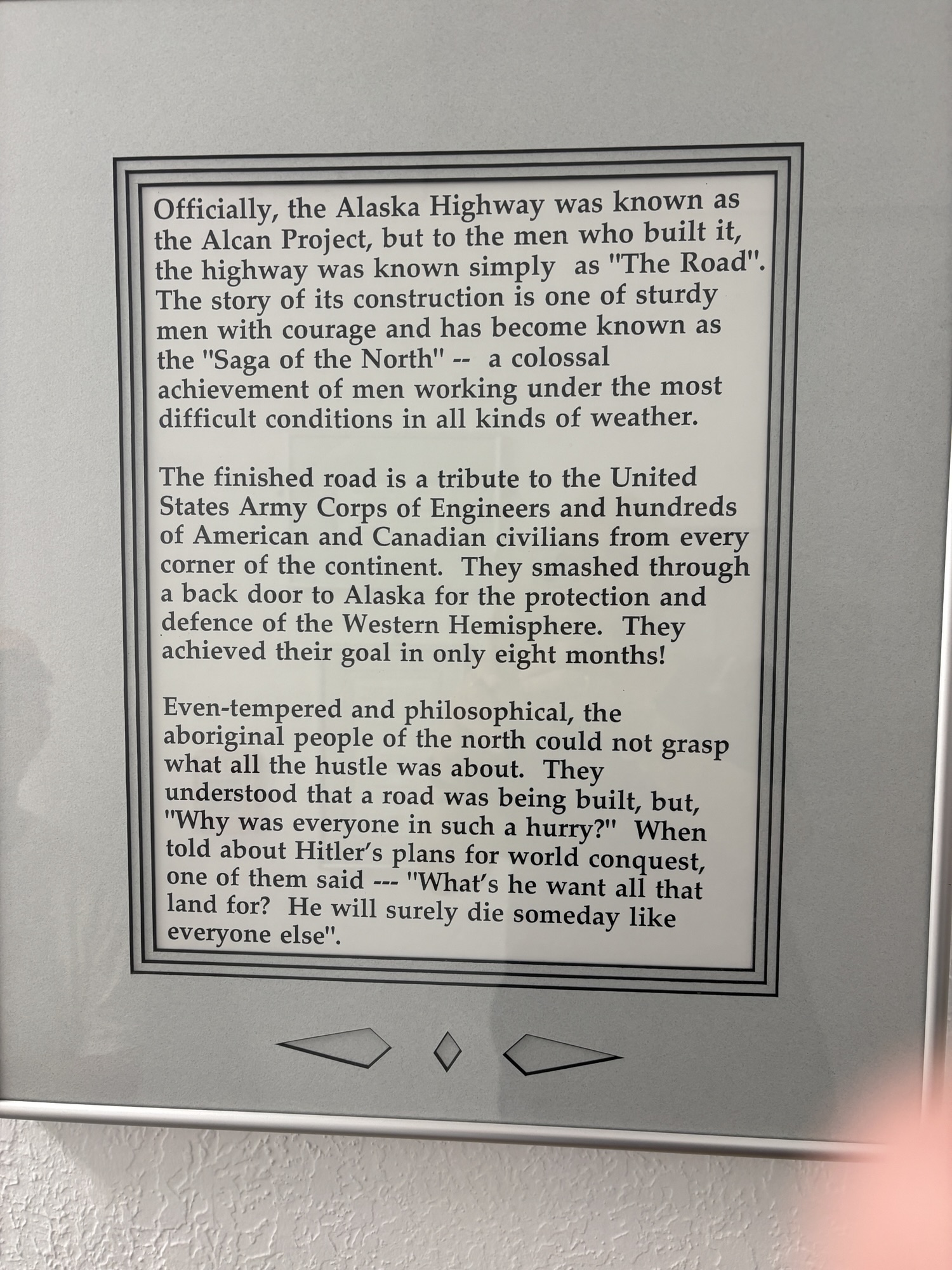
The Alaska Hiway was built in 1942 during WWII by the Army Corp of Engineers to transport supplies to Alaska but in the end, it proved unimportant because almost all the supplies eventually were shipped by sea. Part of the agreement between the US and Canada was that the road would be turned over to Canada after the war. It was originally a rough and challenging road but has since been straightened and paved (doesn’t always mean smooth!) the entire length.
We met several people in the caravan group the next day and got info about the options from their host in case we might want to try it next year. It is kind of a feather in the cap for a lot of RVers to do the trip.
We also met Herb and Shelly Booth who own a Tiburon RV like ours. We invited them to join the Delano/Tiburon Facebook Group and join us at the Rally next February in Florida. As they live in Sarasota, FL, they were happy to join up. I am sure we will hear more about Alaska at that time. Herb is also a professional photographer, and you should see his photos! Amazing. And he has made many upgrades and additions to his RV that he is willing and excited to share. They will fit right in at the Rally!!
Our tour of Dawson Creek started at the starting point! Of course. We went to the MM0 sign. Well, the replacement sign. The original one was only 4 ft tall and placed at the intersection where the ribbon cutting was and where the surveyor placed the first mark to start the highway. But it eventually got run over. So, they replaced the whole intersection with a roundabout and built the new sign downtown at 10 Street and 102 Ave a few blocks away that people use now. The roundabout has a statue dedicated to the surveyor. And the original sign was saved and is by the roundabout.
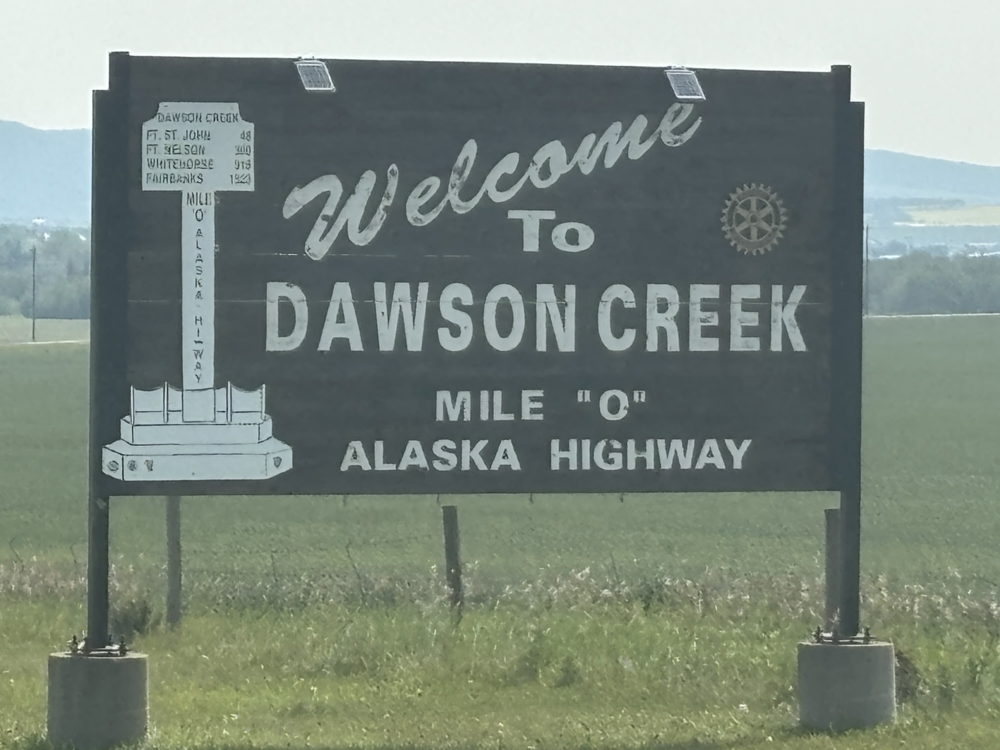
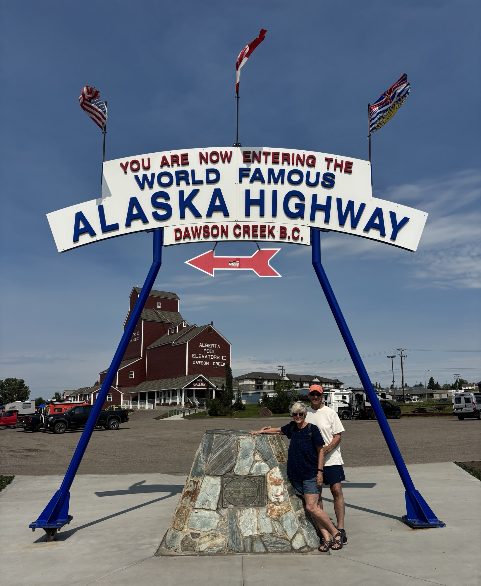

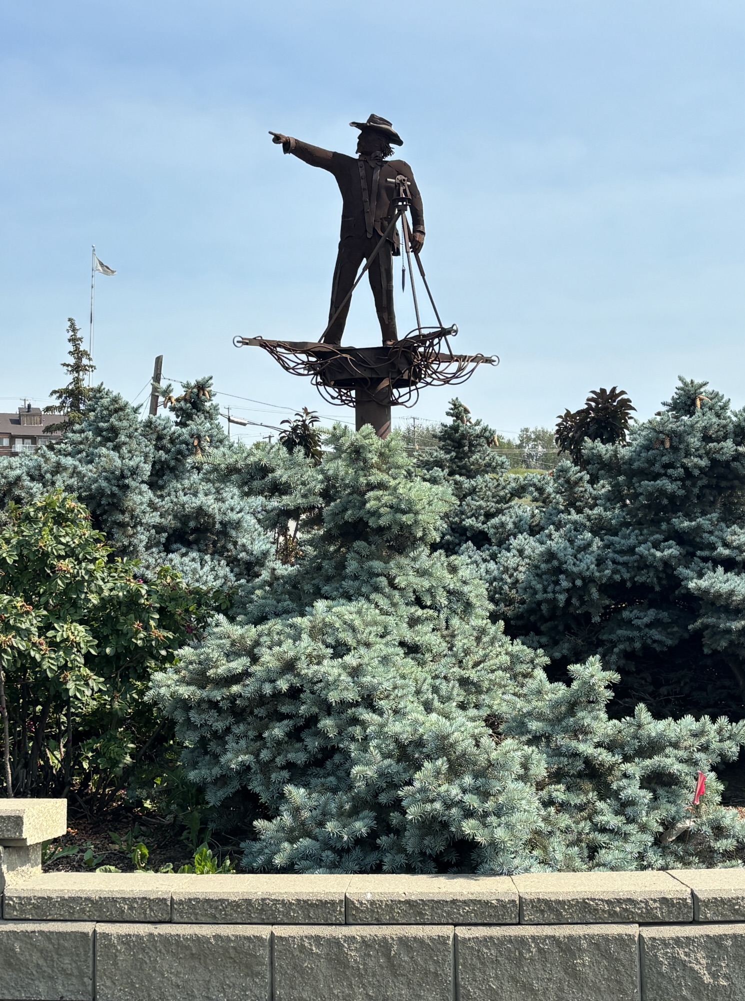
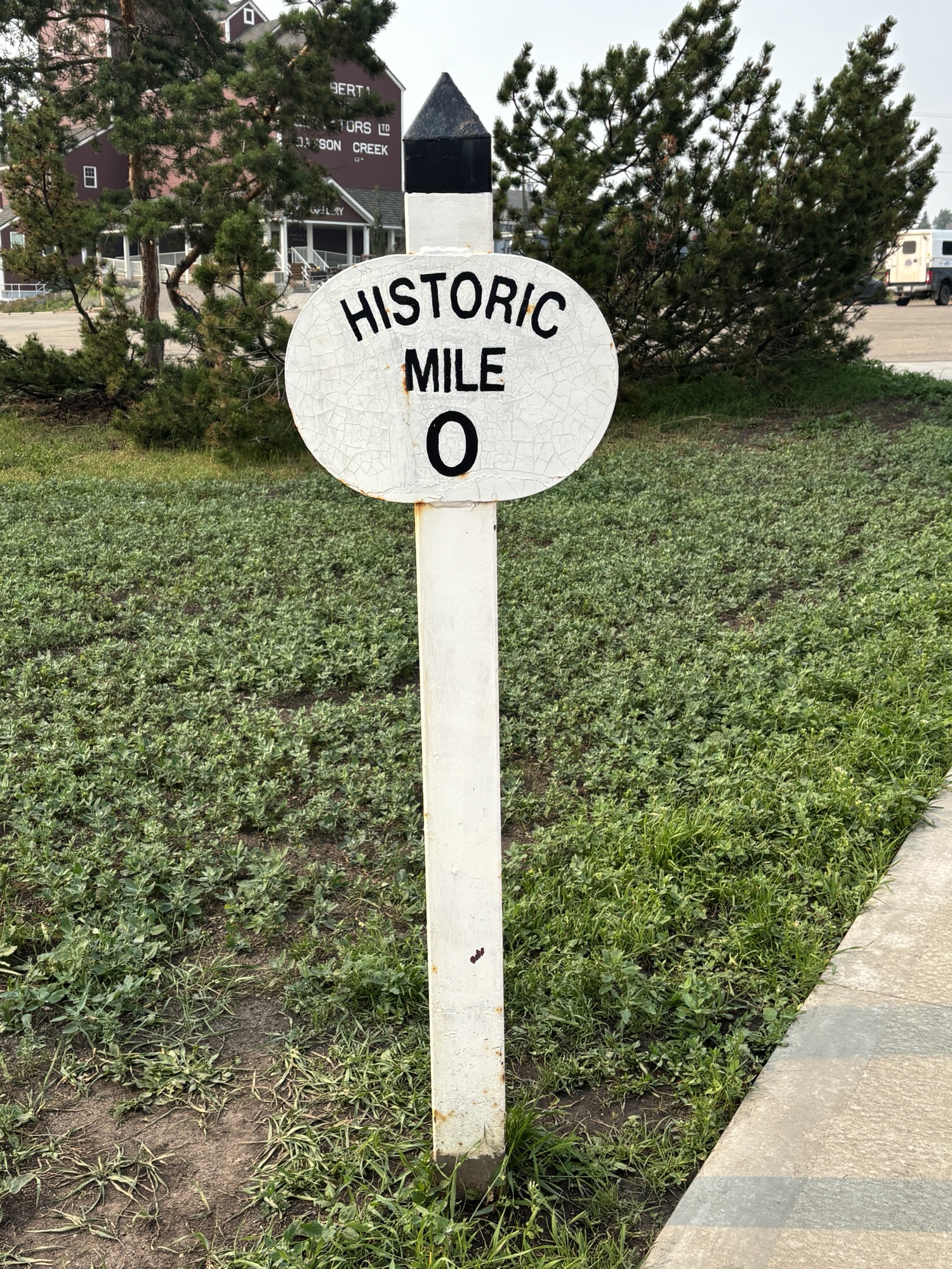
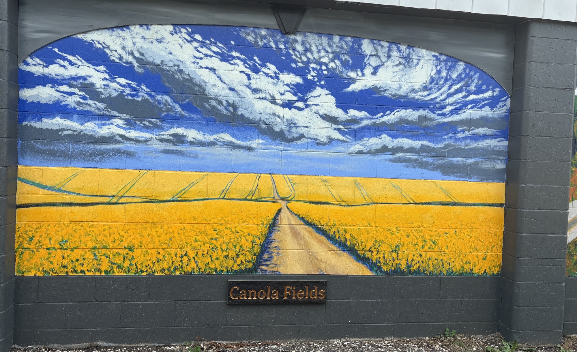
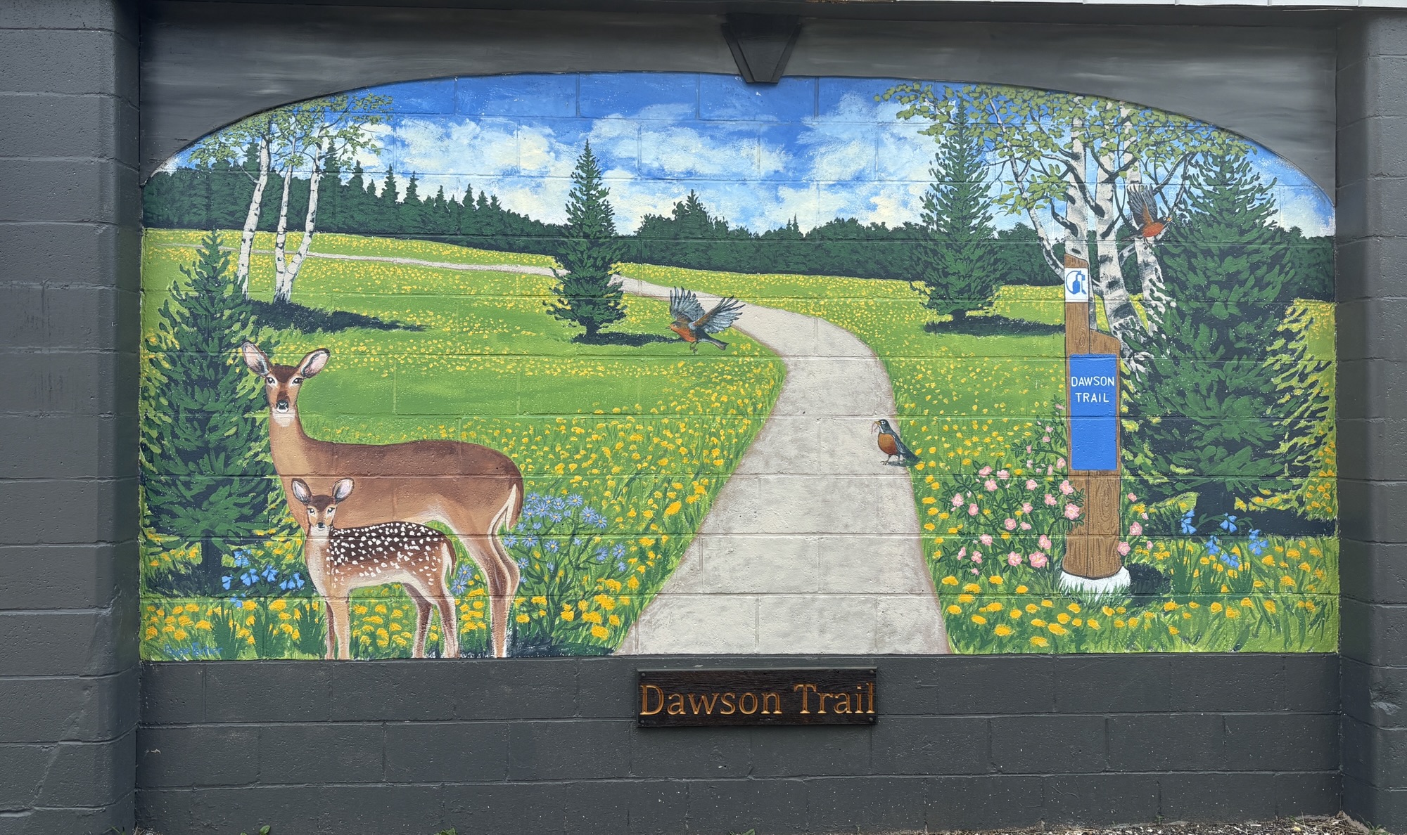
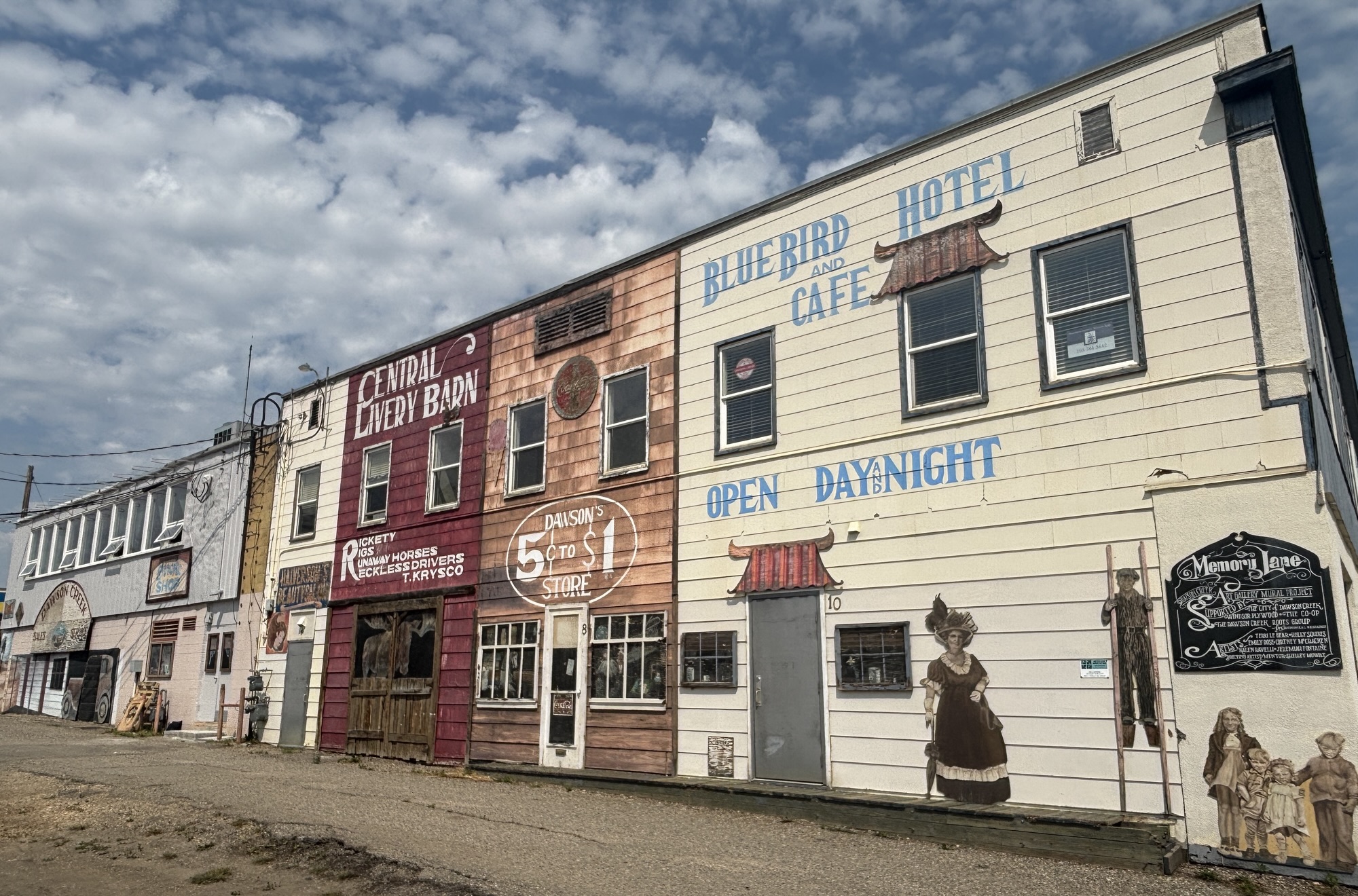
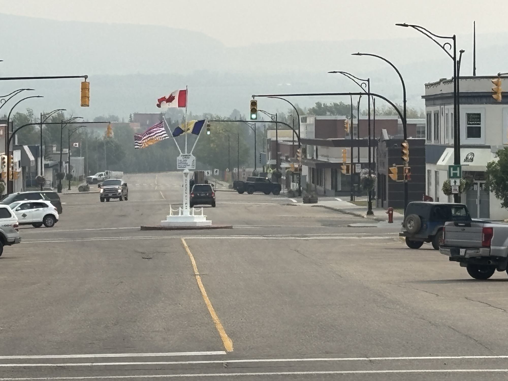
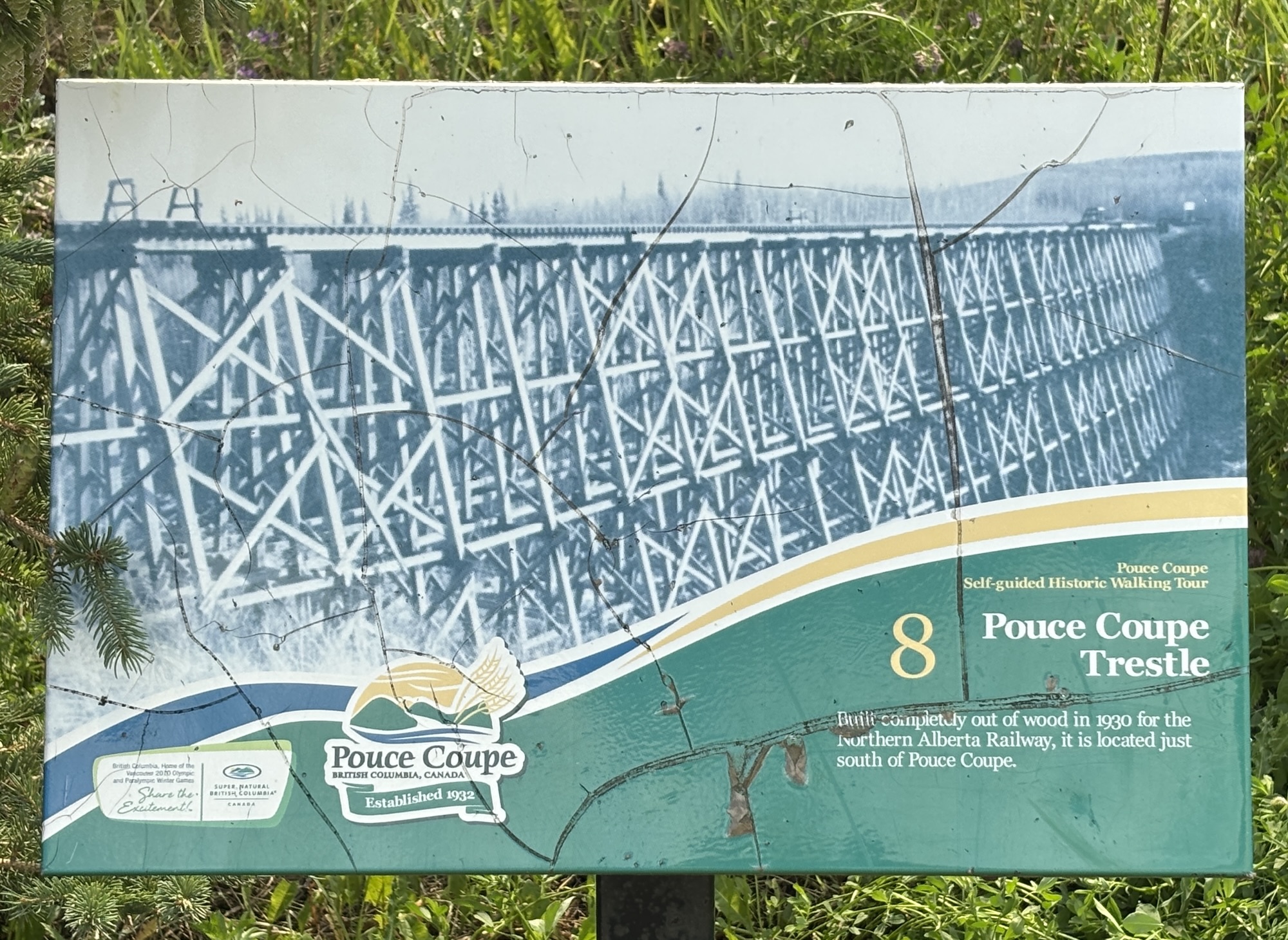
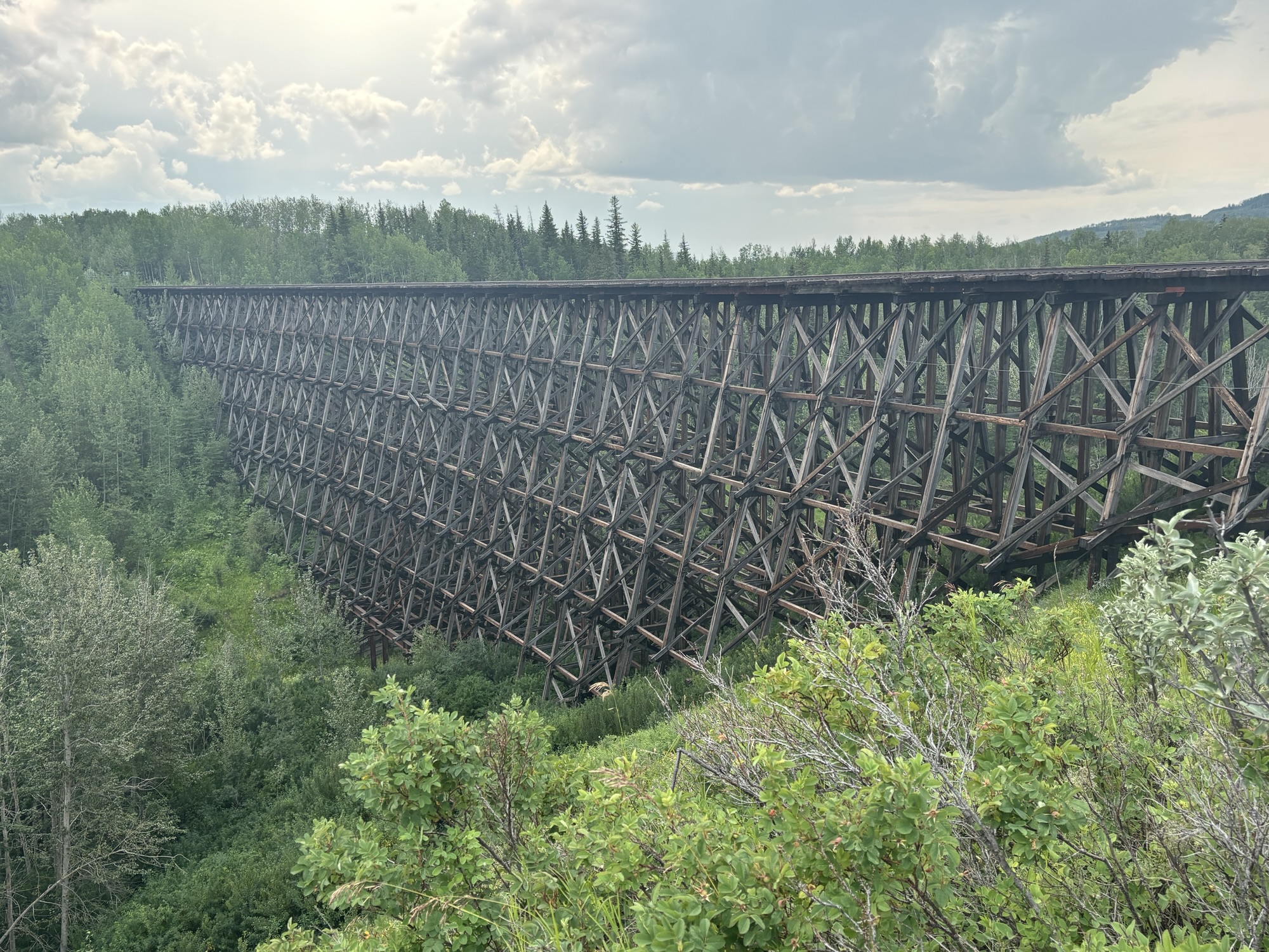
At the visitor center and the museum, there was a nice but small Farmers Market happening. I got intrigued by a different kind of caramel popcorn so bought one and peanut butter cookies while Gail got some jam and lip balm! Then a quick walk around town reading the historical markers and admiring the murals, and a visit at the Art Gallery before one more stop for the day. The small town of Pouce Coupe (pronounced “puce coupie” for us by a local – see the video) to see the old wooden railroad trestle bridge.
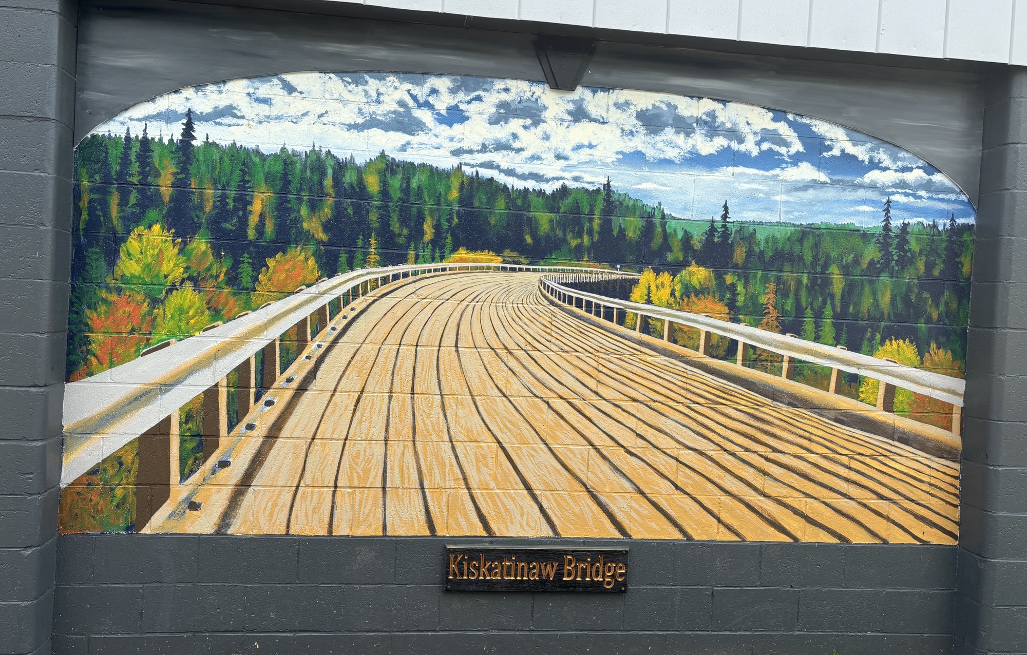

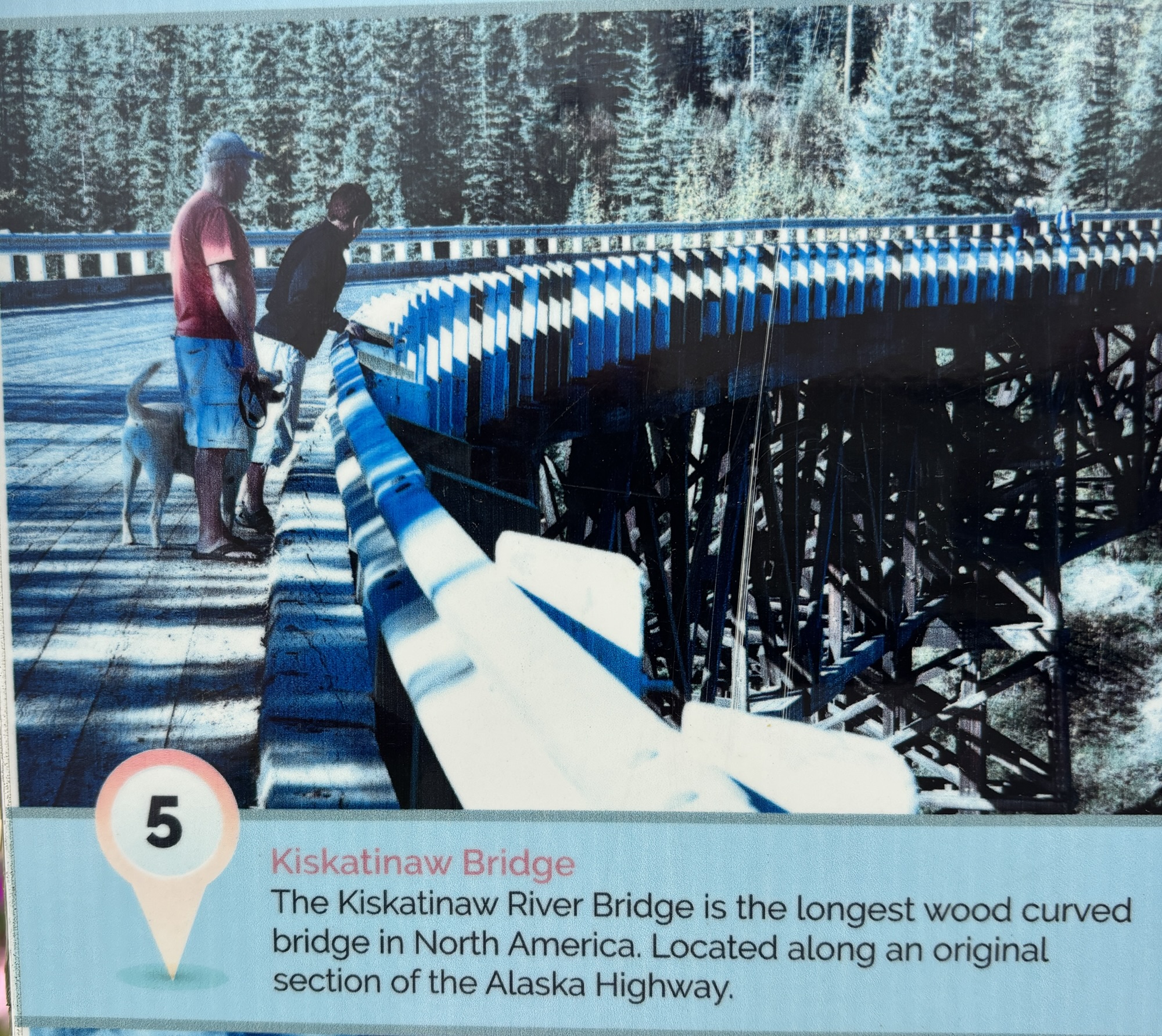
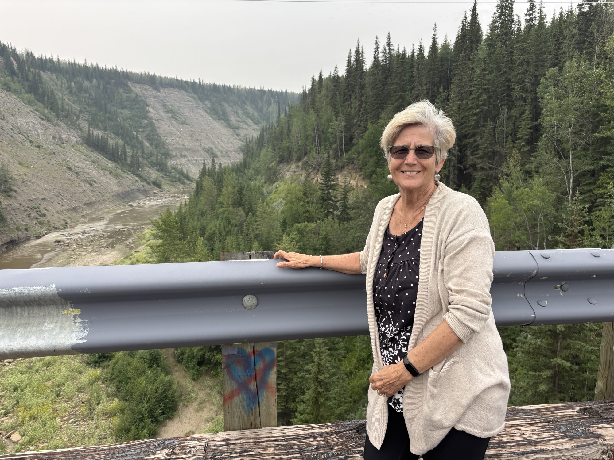
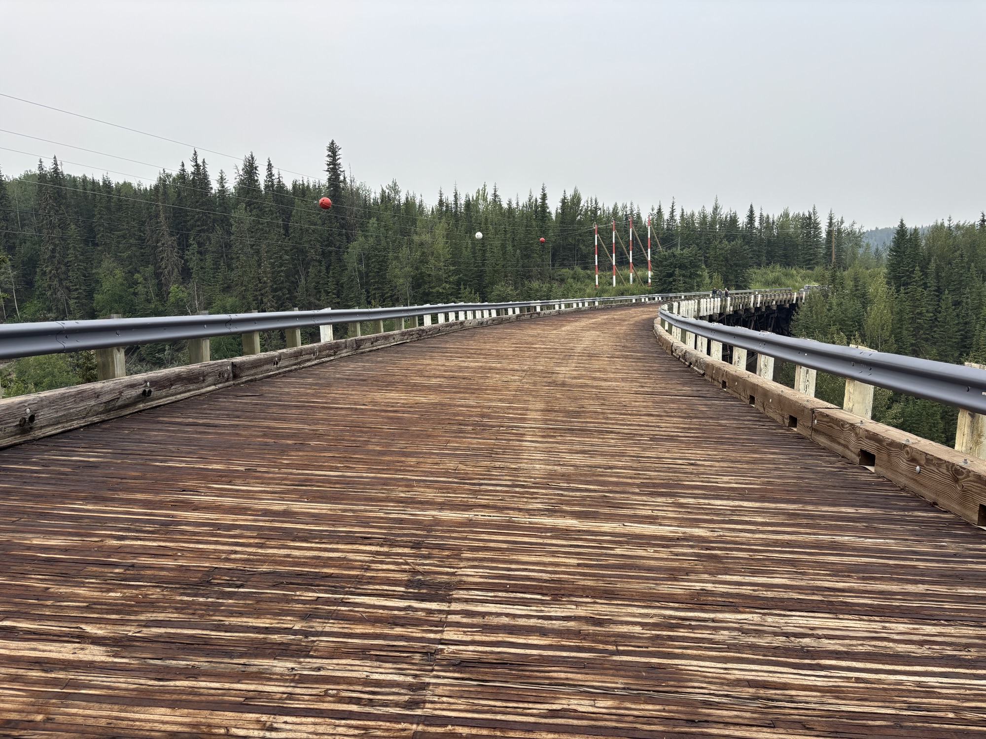
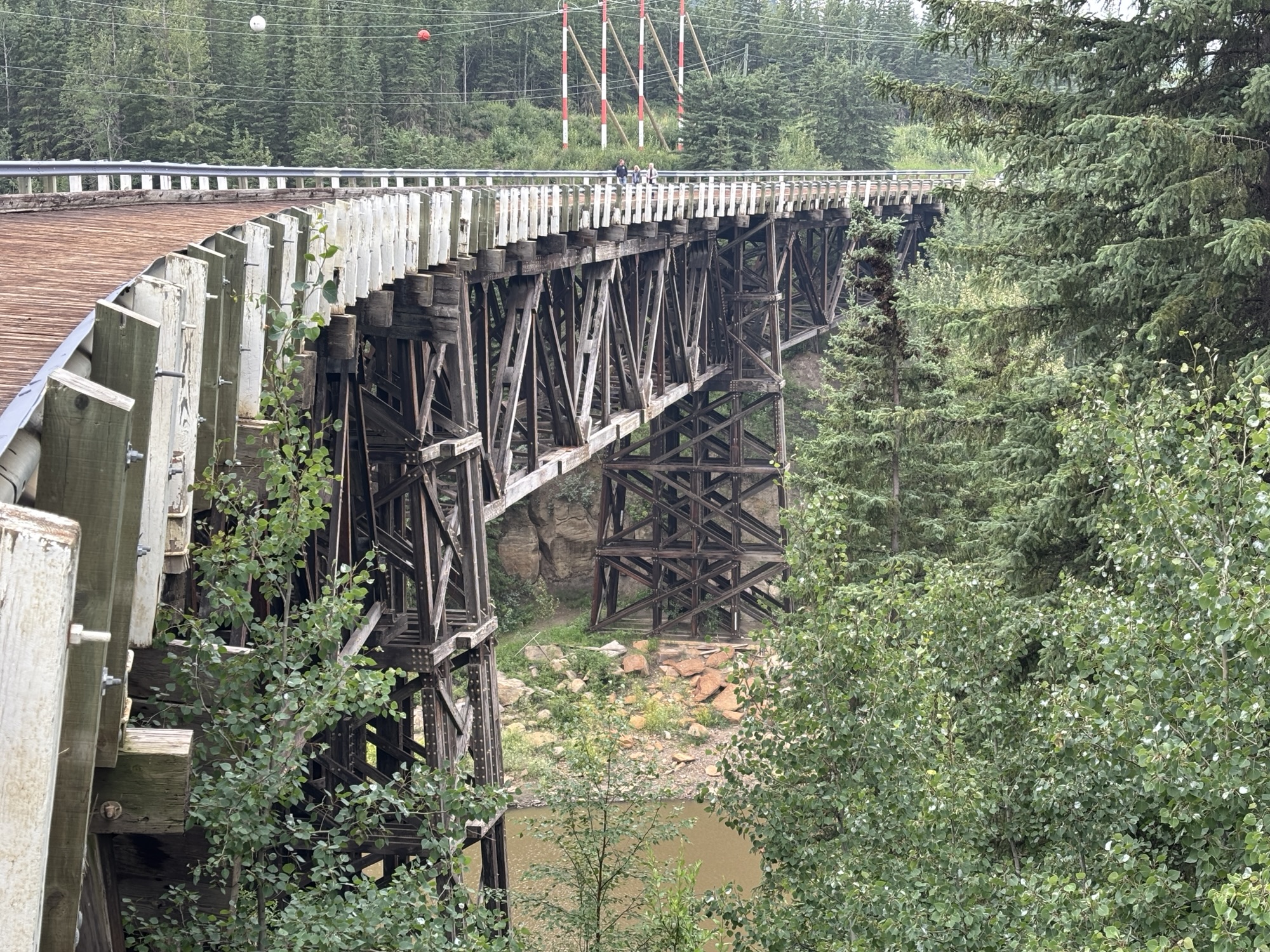
Finally, on our last day there, we made a trip 45-mile trip north to Ft. St. John and Charlie Lake. On the way we stopped to see the old Alaska highway Kiskatinaw bridge that is famous as being the first curved wooden bridge that includes a 9 deg banking in the curve. It had been used until about 5 years ago when one of the two trestles shifted and made it unsafe for cars. It is still open for foot traffic and is a very interesting piece of engineering. Many of the Alaska RVers were there as the site was suggested for them to see by their hosts.
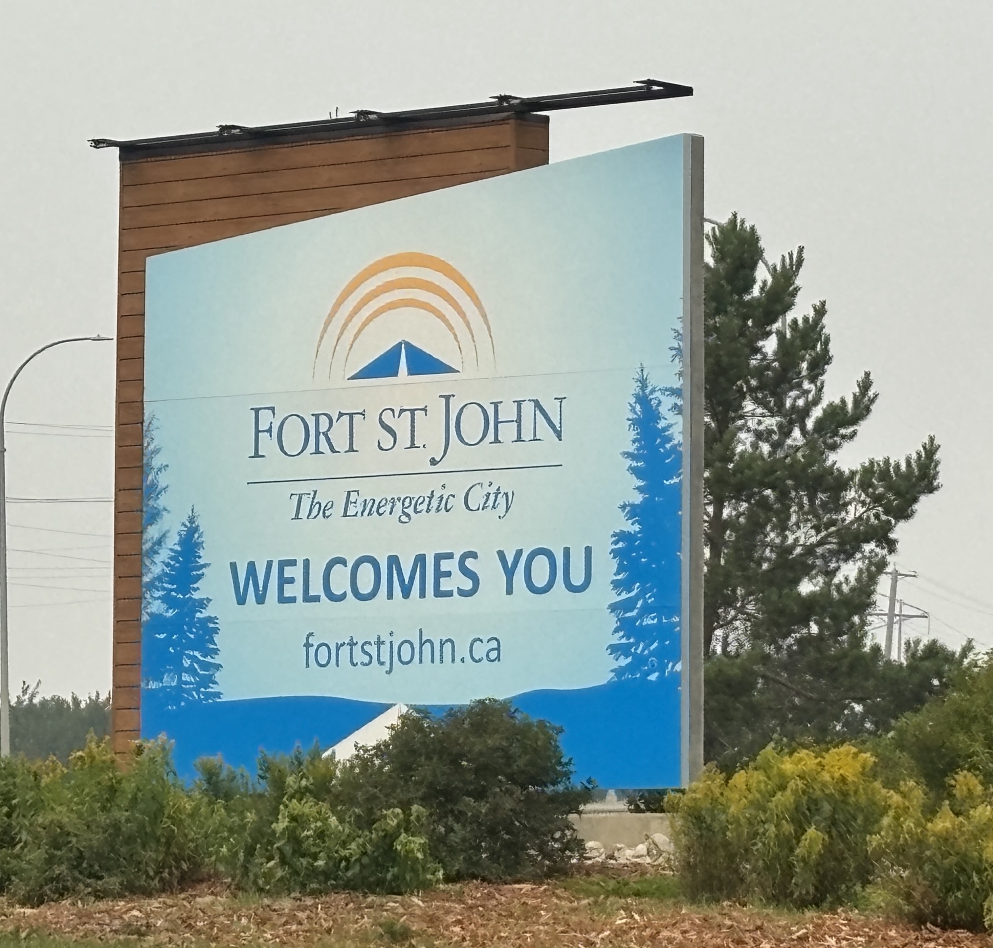
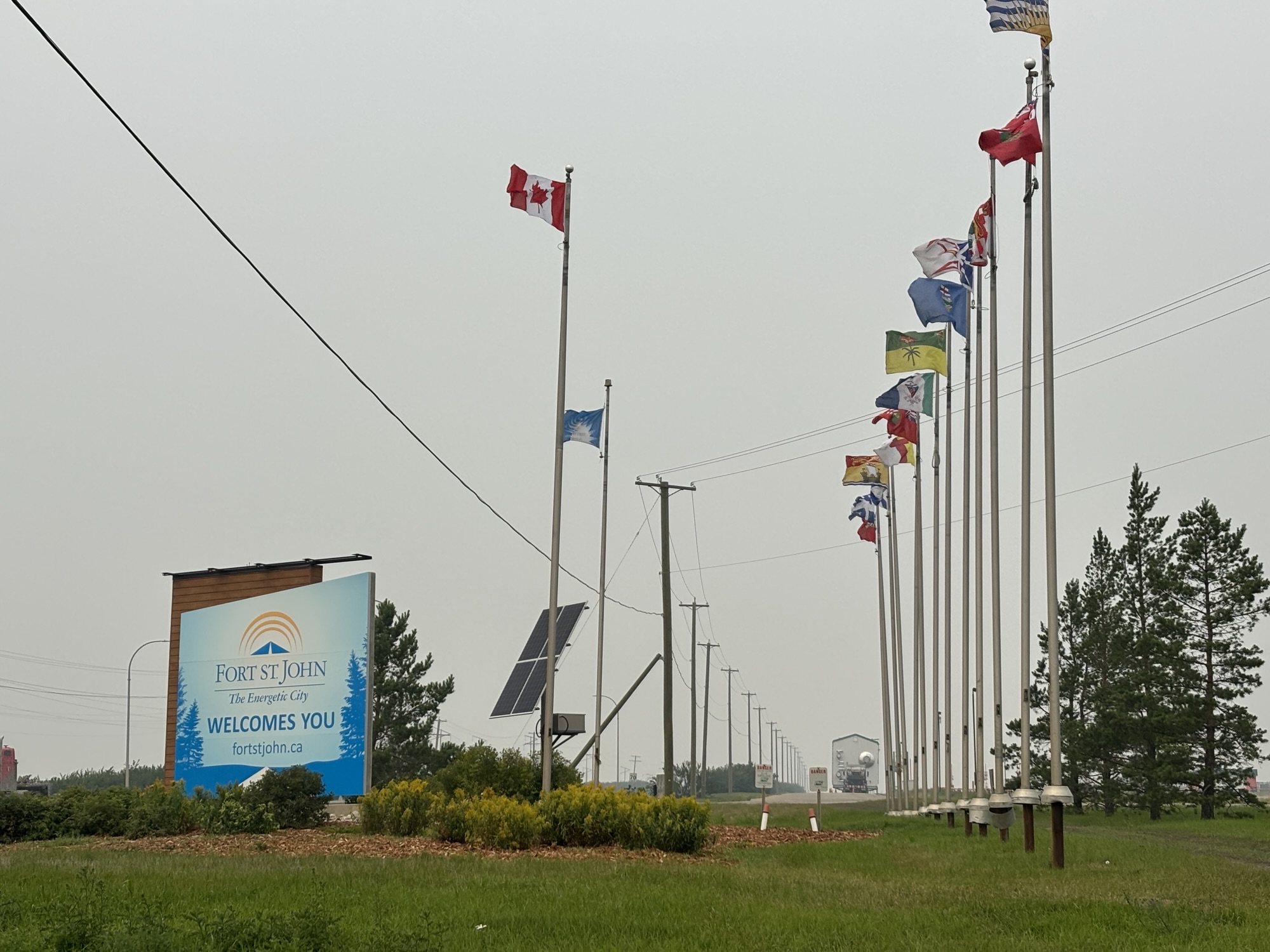
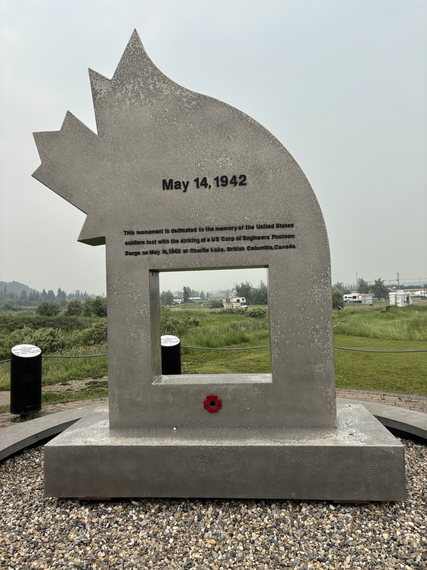
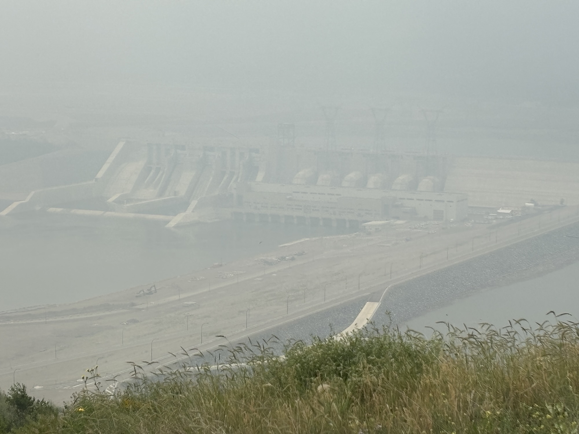
Fort St. John was not what we expected, and the lake stop was just quick enough to see the memorial to several soldiers who drowned during a storm that hit while moving supplies for the Alaska Highway across the lake. Then we stopped to see the Site C dam site overlook. It is the third hydro-electric dam built on the Peace River that just started generating in 2024. But the smoke in the air and the distance of the overlook to the dam so far away made it almost impossible to see.
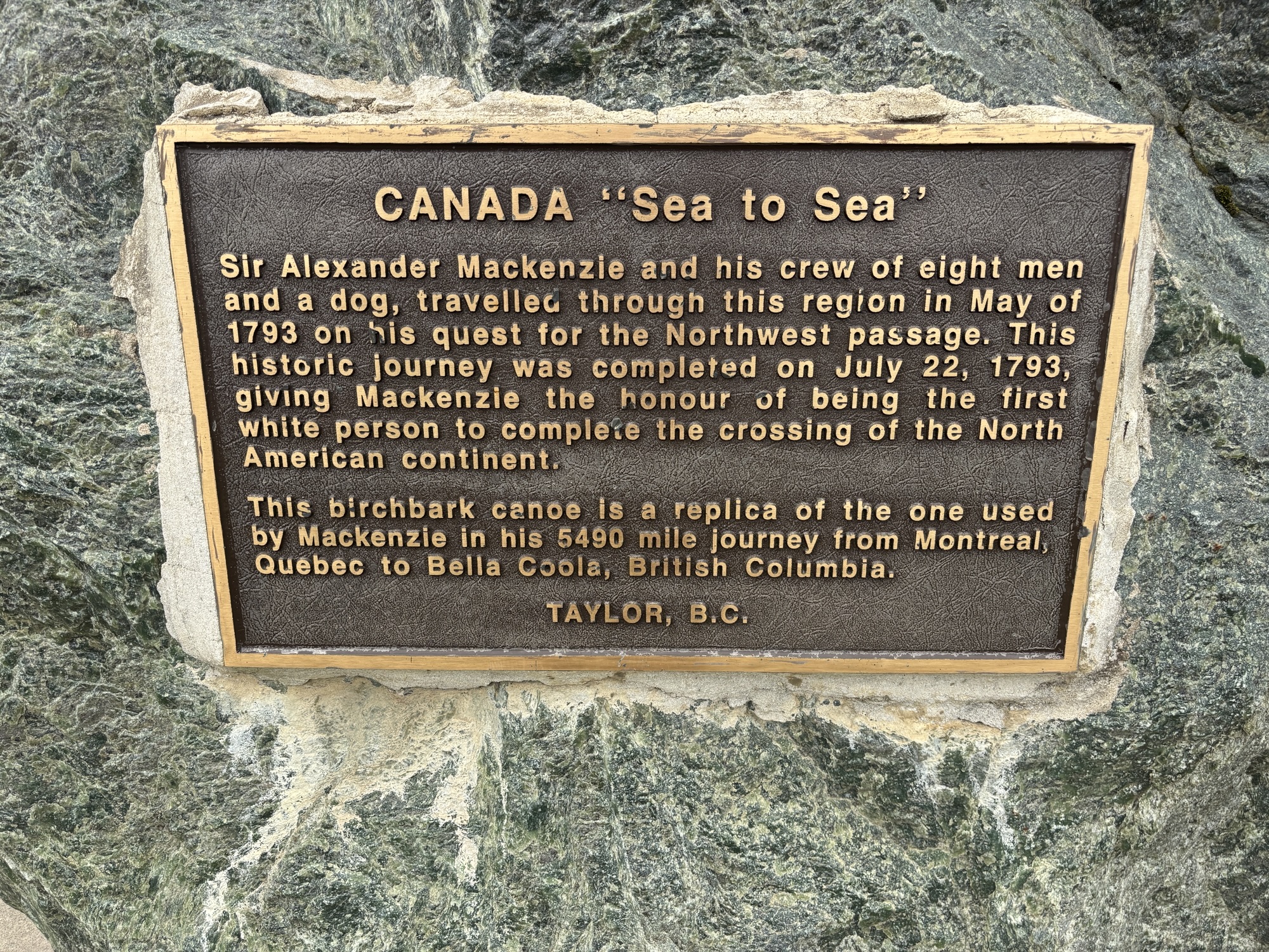
Lastly stopped at the visitor center in Taylor which is important as a major oil and gas pipeline distribution center. The first pipeline built from Canada to the US was built in Taylor in 1957 which began its place in the industry.

That’s enough for now! We did the crossing of BC and are at the end of Leg #3 of our trip. Next, we go into Saskatchewan again. And maybe see some familiar sites. Want to find out? We won’t keep you waiting too long!
 Grove Yacht