A little editorial here! Oregon has been great. And the plan to drive up Hwy 101 to see the coast was perfect except for one thing! I would recommend that if you wanted to drive it yourself sometime in the future, plan the drive from north to south. As we noticed while driving north, all the scenic overlooks and turnouts are on the southbound (ocean side, of course) side of the road. So, to stop and see them, we either had to cross traffic twice (over and back) or skip the lookout all together. And we did both several times. But with the RV and the Jeep, we needed timing and space to cross over. And to determine if there was even room for us beforehand. All without blocking traffic. So maybe not as bad as driving a car, but still easier just pulling off directly from your lane. Just saying.
Now on to Washington. As I mentioned in blog #7, the Oregon coast is about 340 miles long. Comparing that to Washington at 240 miles, the drive up just wasn’t going to take as long. And it seemed that Hwy 101 was going to go more inland without a continuous view of the coast. With all that in mind, we headed out to see what we could.
First thing, we had to finish with Oregon a little by going through Astoria and crossing the Colombia River bridge. Astoria is noted for being the oldest American settlement west of the Rockies. And there were two main things to see on the way through town and they are both together.
When we mention Astoria to people, their normal comment refers to it as also being famous as the setting for The Goonies movie and others that, since we never saw them, have no meaning to us!
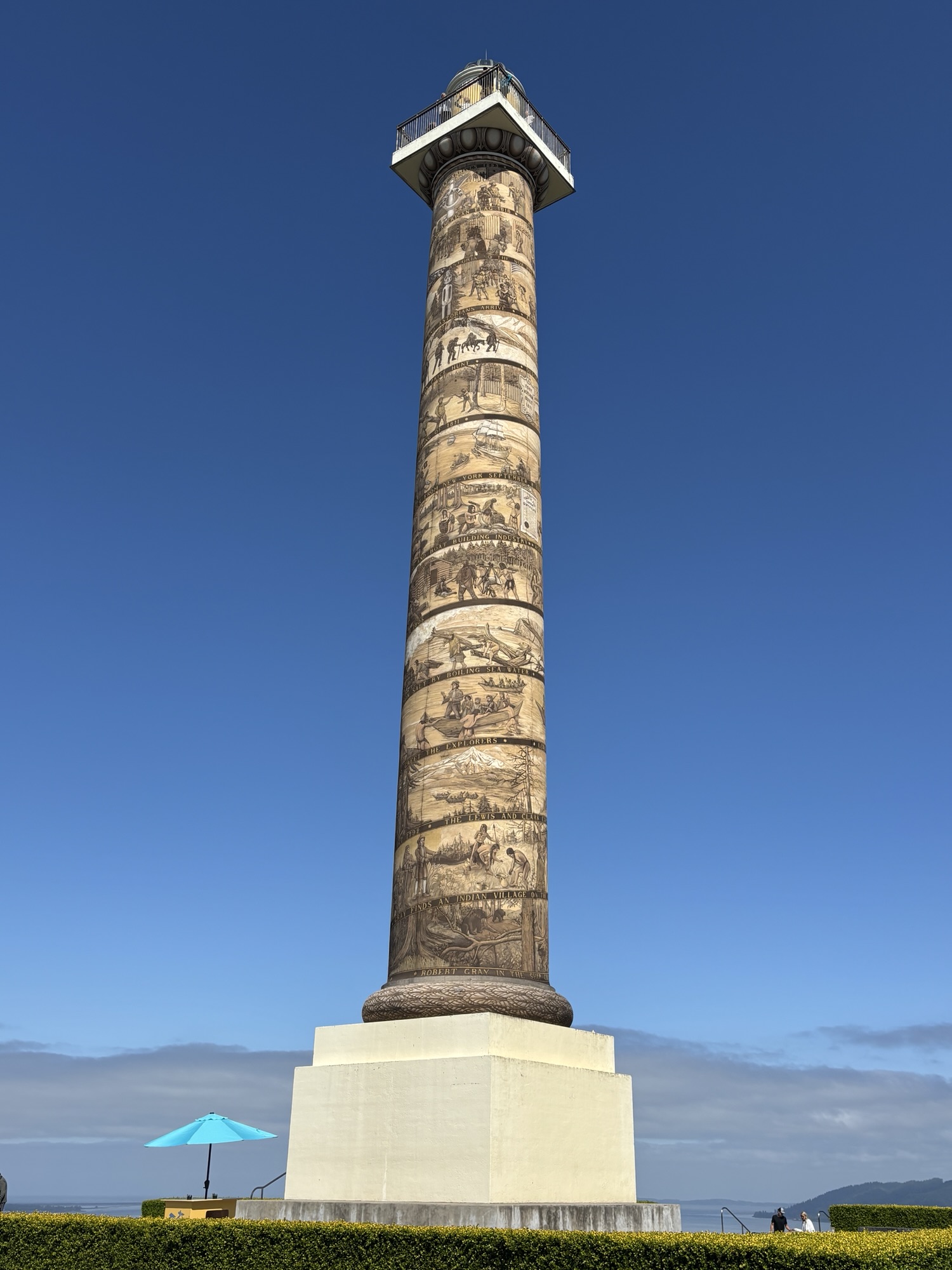
The Astoria Column is a historical tower built by Vincent Astor on Coxcomb Hill overlooking the Colombia River valley. It was built and dedicated over 100 years ago as a monument to the beauty and richness of the Northwest Pacific region and the people that settle there. It stands 125 ft tall and has 164 steps inside to the top. The exterior contains a spiral frieze depicting 14 significant everts in Oregon history. It is very impressive. But with our limited time, we decided to skip the climb and enjoy the view from the ground.
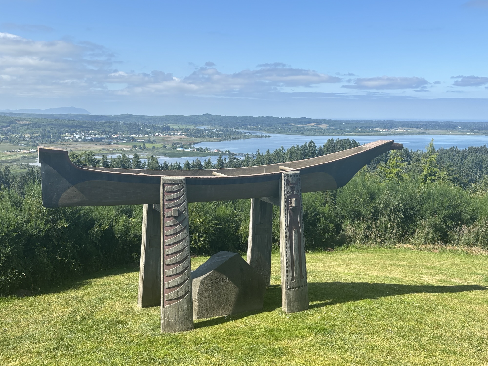
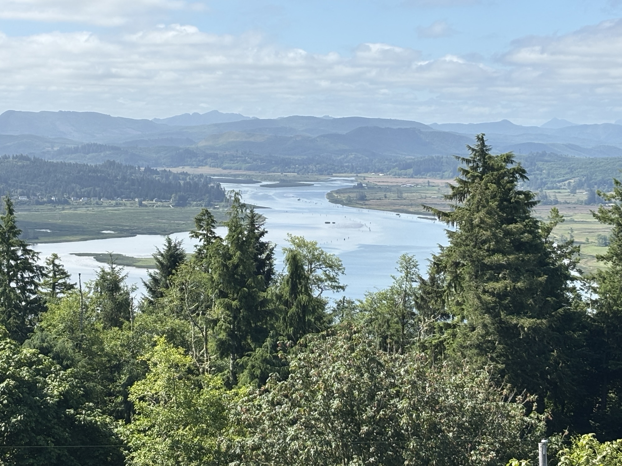
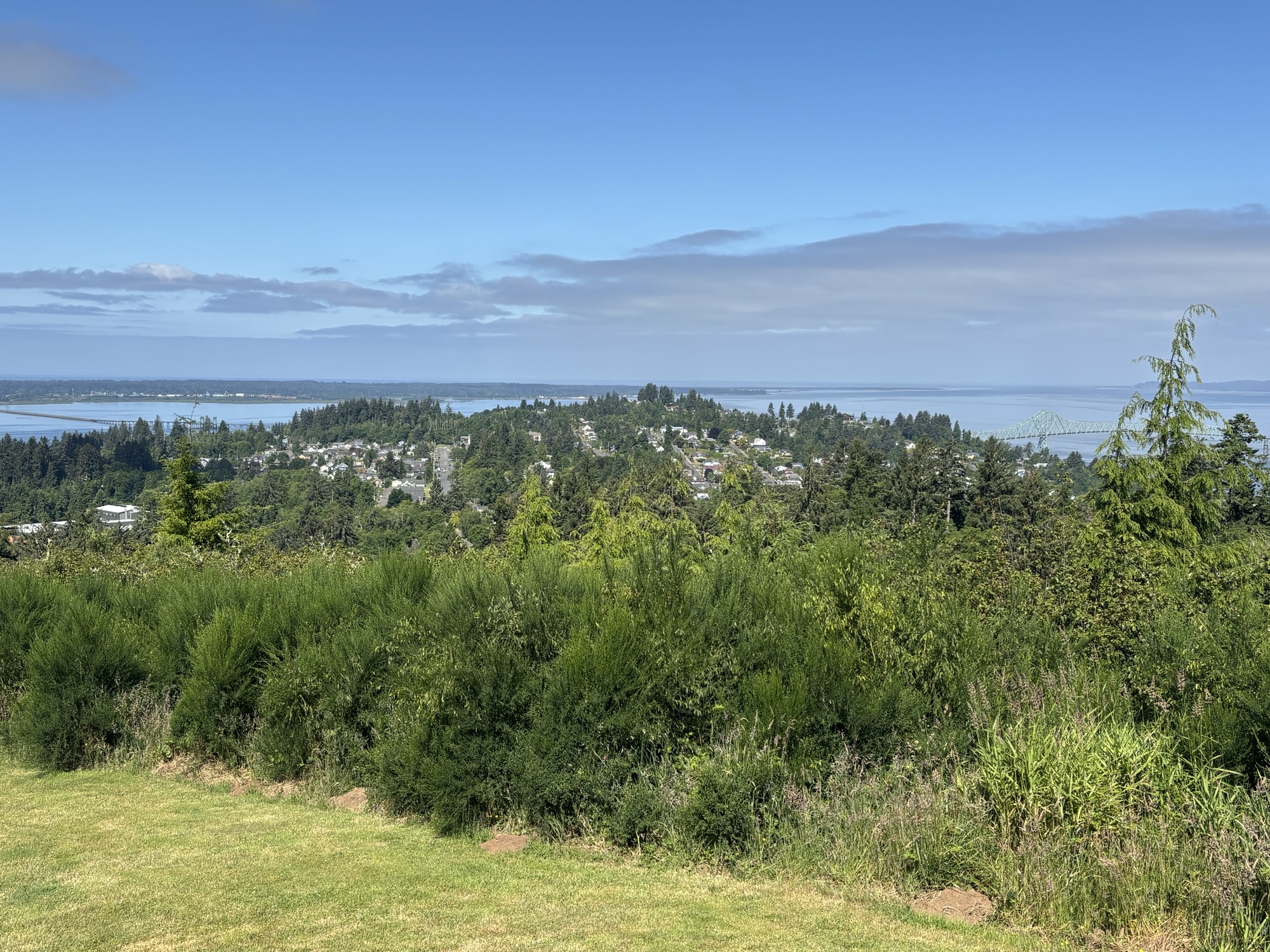
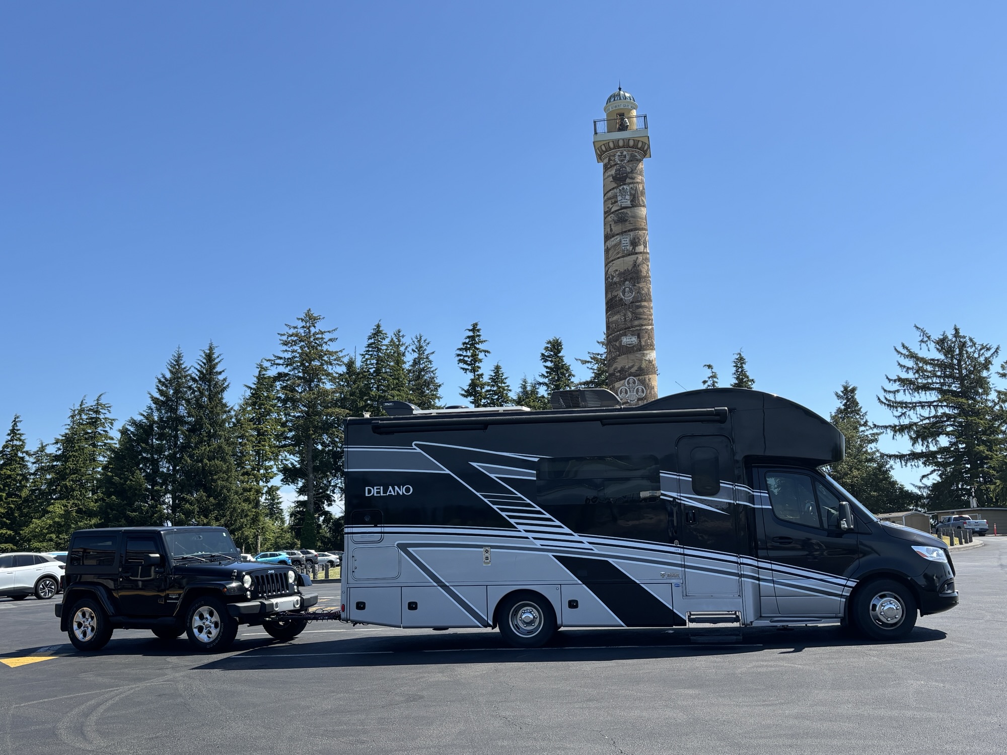
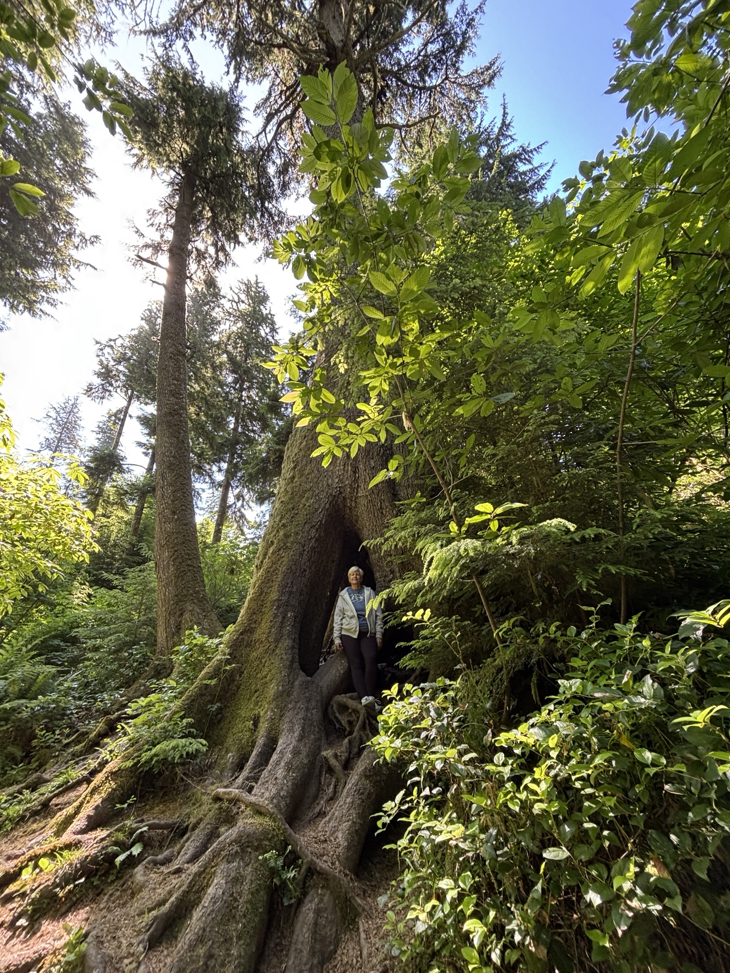
And we wanted to see the other feature nearby. It is called the Cathedral Tree, and the trail starts at the Astoria Column Park. It is about a 2-mile round trip to see the tree. It was a very nice day and we needed the steps.
The Cathedral Tree is a 300-year-old, 200 ft tall, more than 27 feet in circumference Sitka Spruce. Aside from its size, the tree is notable for large natural openings near its base, where it apparently grew up around a nurse log that has since rotted away. And it has the appearance of a church tower and hence the name.
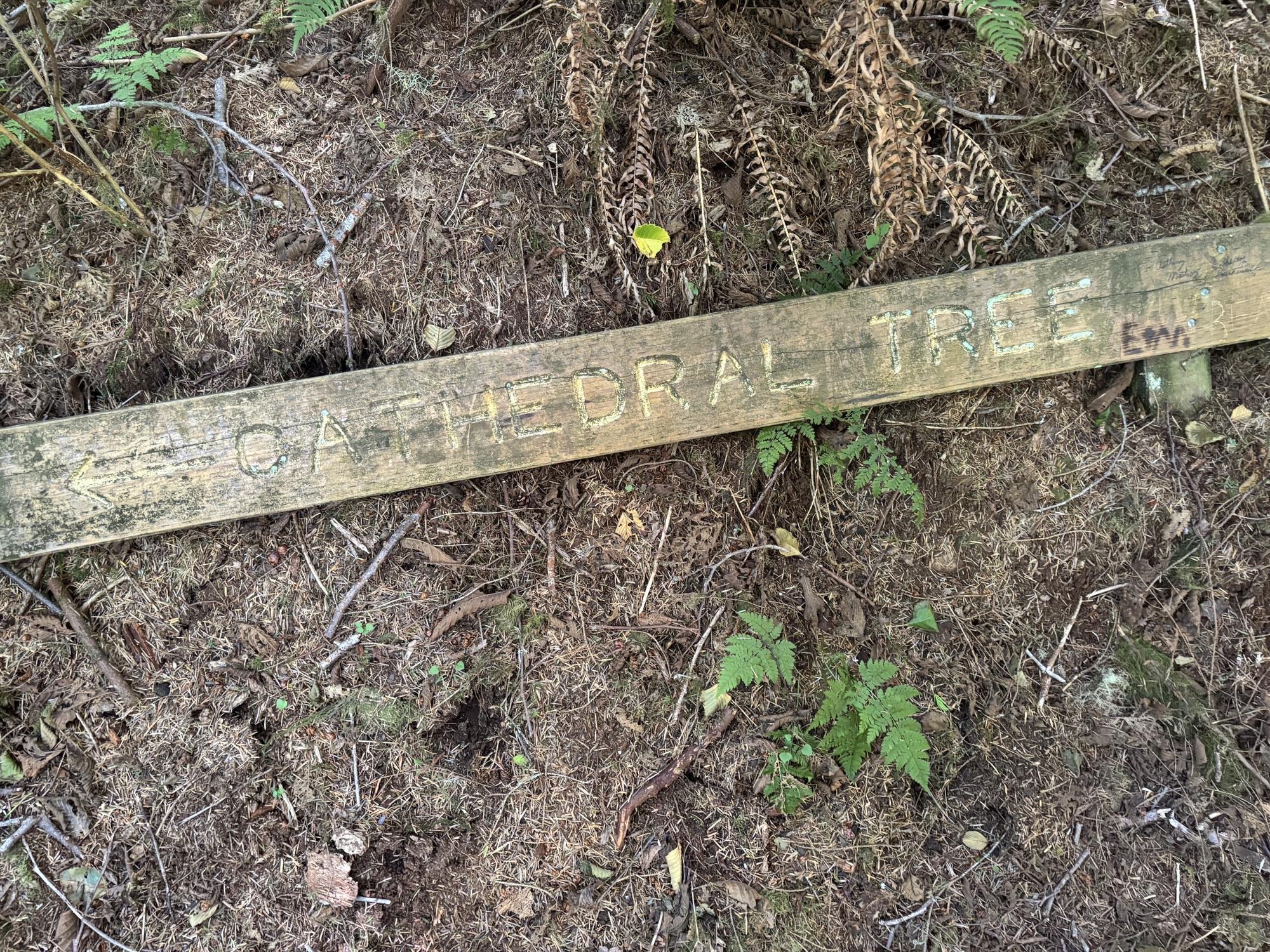
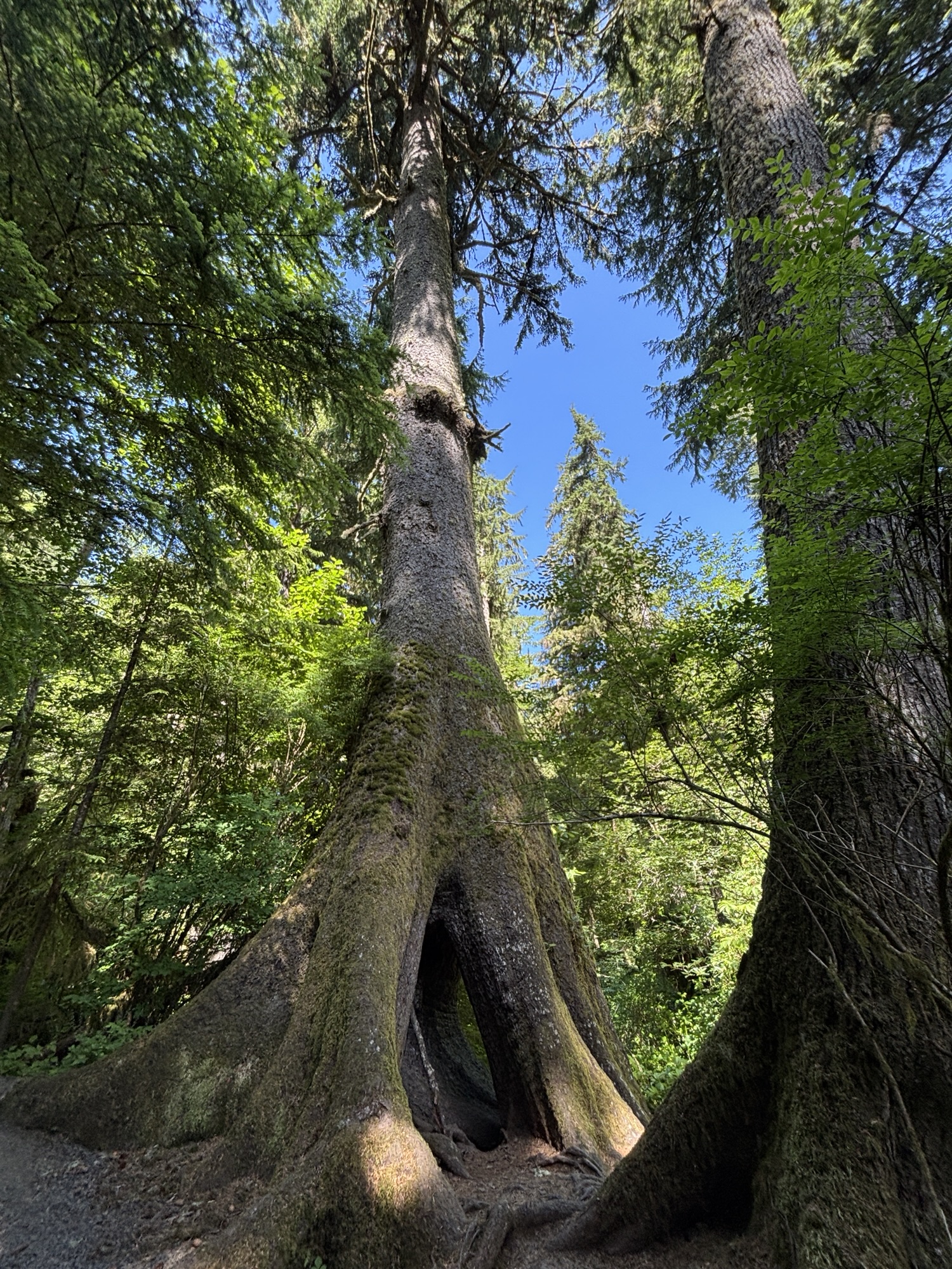
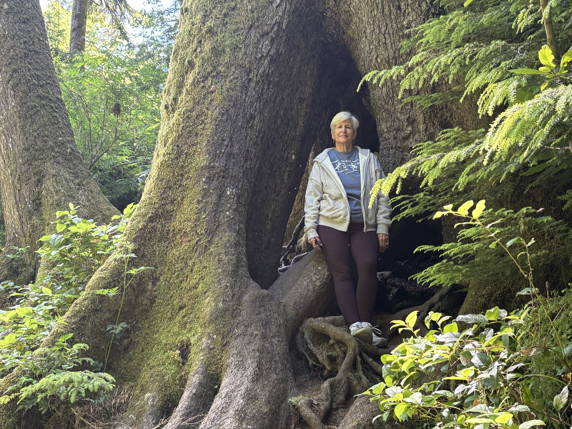
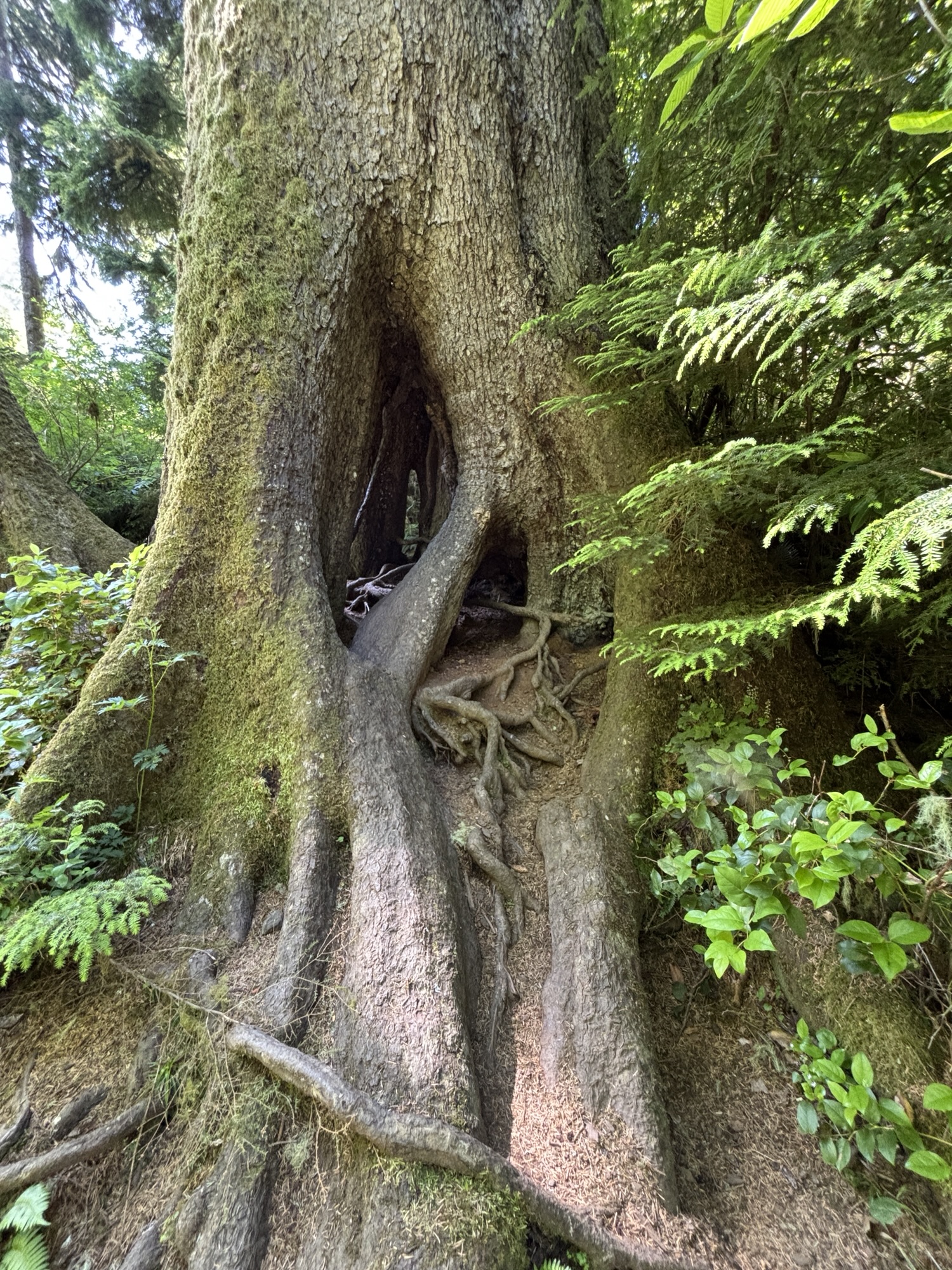
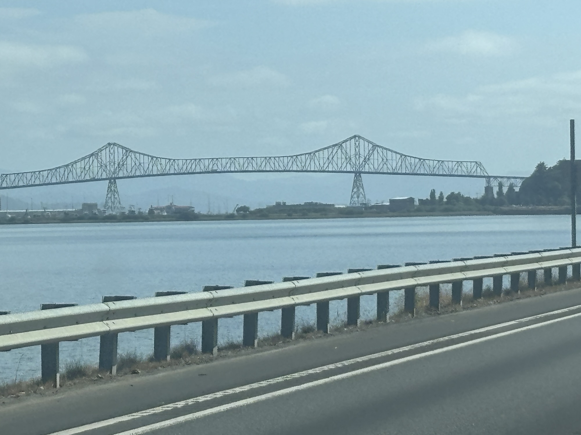
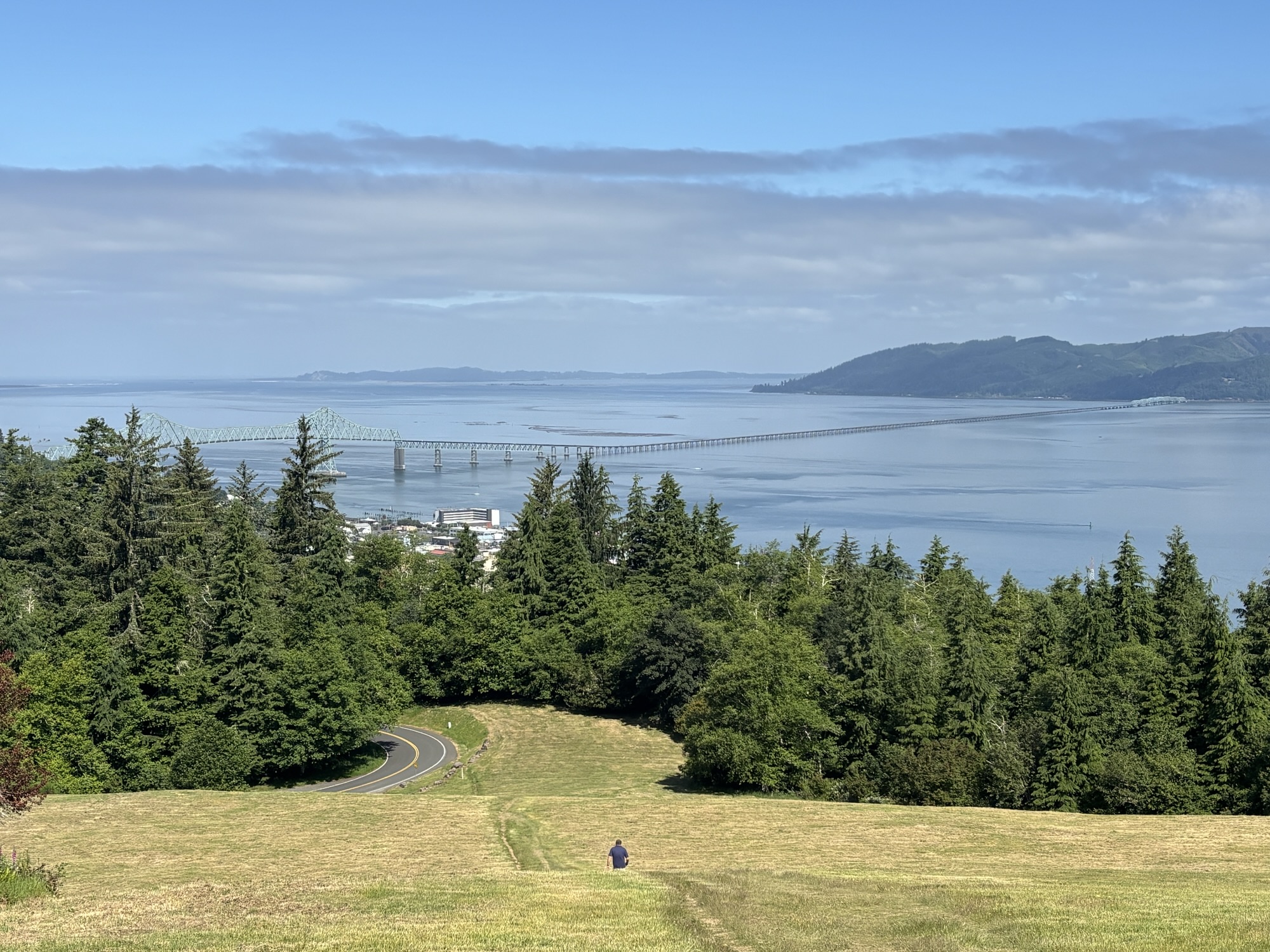
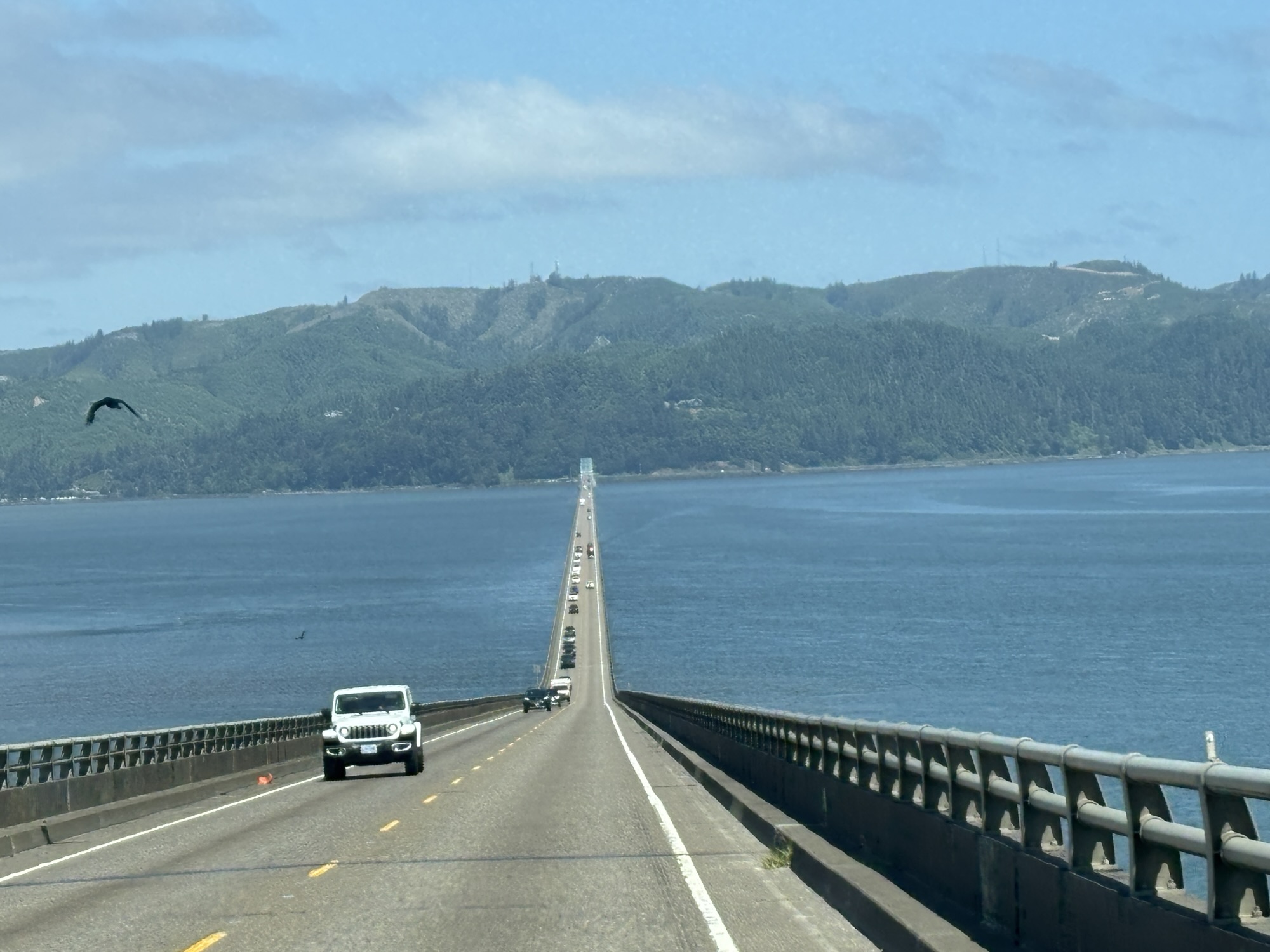
Back into town, we found our way to the bridge and the crossing over the Colombia River into Washington. The bridge is very imposing. The initial portion is an arched bridge then it lowers down to an uncovered long flat section to the other side. It is called the Astoria-Megler Bridge and at 4.1 miles is the longest single truss bridge in North America.
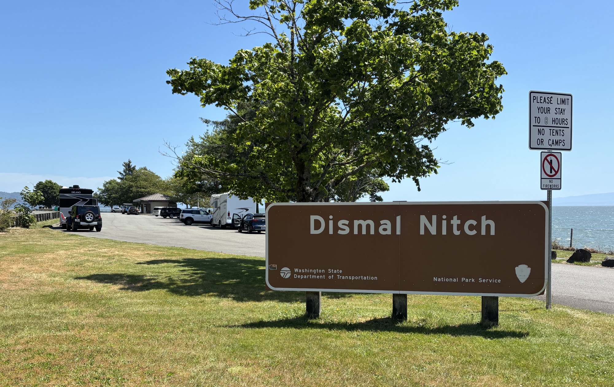
On the Washington side, there is a turnout that is called the Dismal Nitch. The plaques tell the story of a time when in 1805 part of the Lewis and Clark Corp of Discovery was trapped in the location for 6 days by bad November weather with little food and old, worn clothing. Captain William Clark called the place “that dismal little nitch” in his journal. Finally, the weather cleared enough for them to move on to a safer location. But the name stuck!
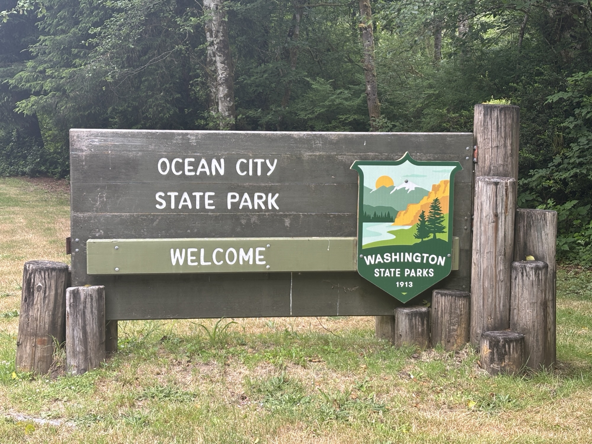
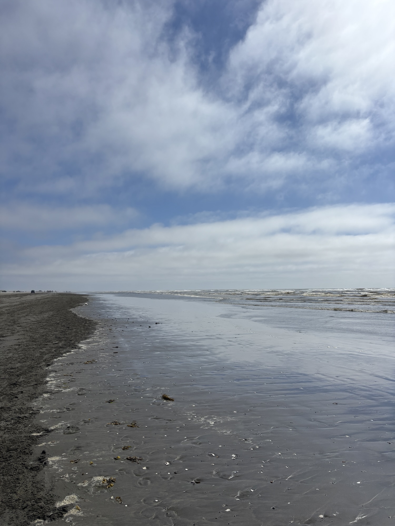
Driving up Hwy 101, we had a one night reserved at the Ocean City State Park. To get to the park, we took Hwy 109 from Aberdeen to the coast. It was our first real view of the ocean along the Washington coast. After about a ¼ mile walk from the park, and a hike over the dunes, we found a beach with no rock formations but there were cars, people, and horseback riders. Nice, quiet park and a quiet evening taking it easy.
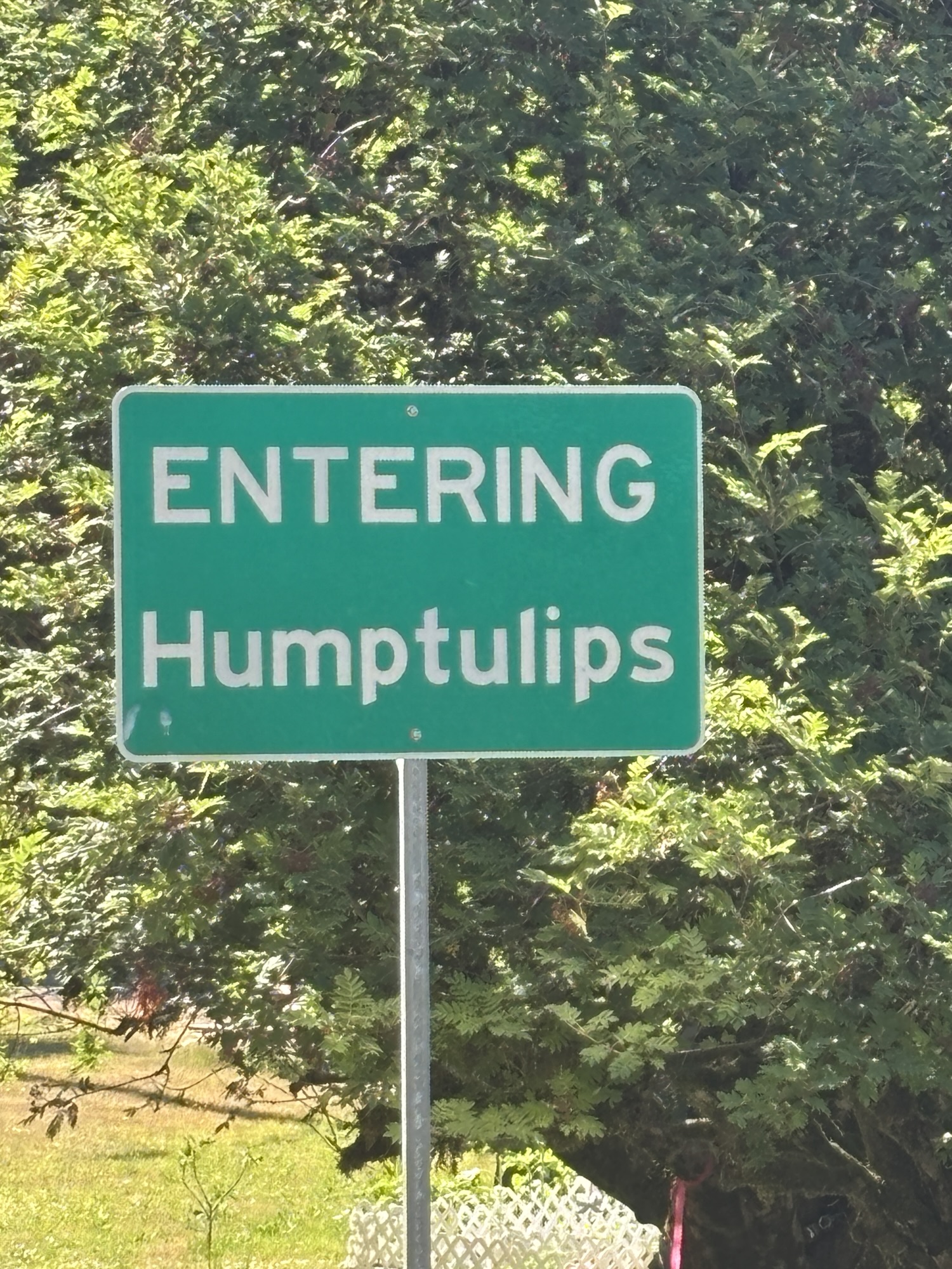
We were up early for a long drive to Neah Bay. It was about 160 miles to go. Back on Hwy 109, we headed north and came to the intersection of Hwy 101 again in the cute, little town of (ready?) Humptulips. We looked up the history of the name and found it is a phonetic English spelling of the Coast Salish Native American word – Ho-to-la-bixh – which translates to “hard to pole” describing the challenges of navigation of the river. And the search result also mentioned that it is commonly on the list of US unusual place names as you might expect!
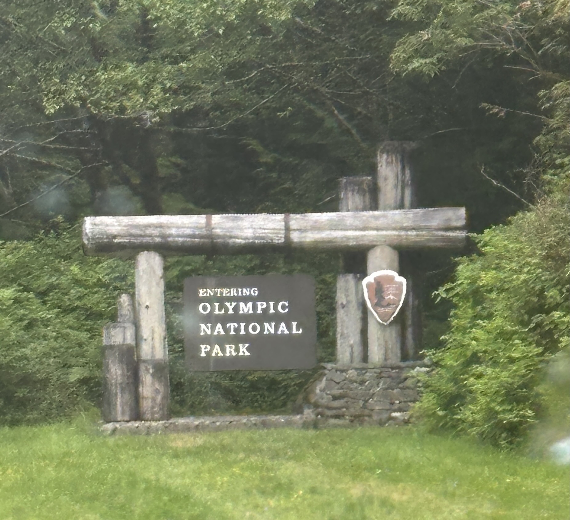
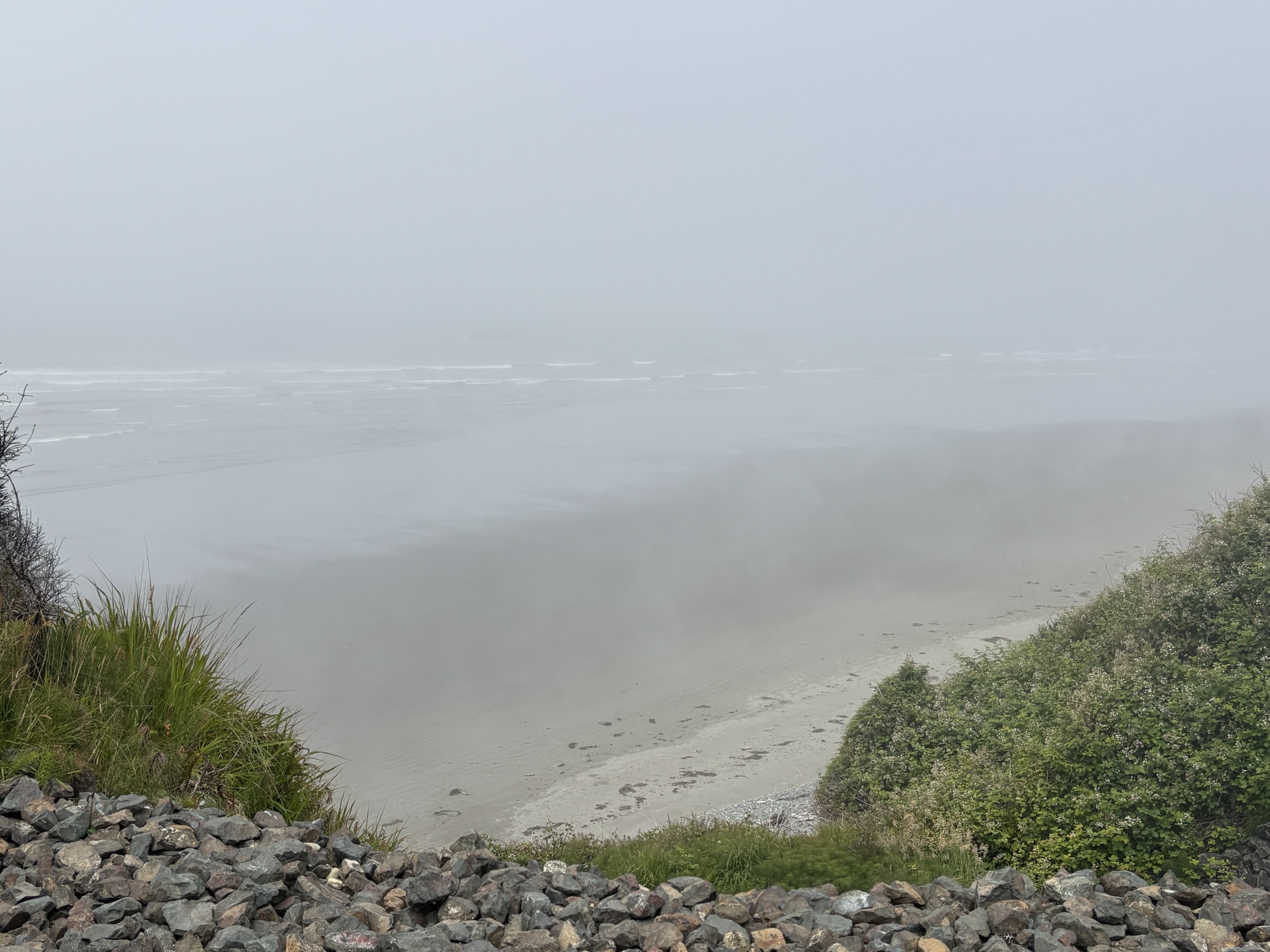
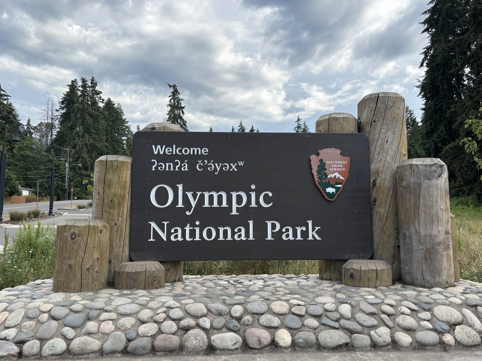
On up the highway, we stopped in the visitor center of the Olympic National Park to get my USNP Passport stamped! And check out the history of the park. But the weather was foggy and really couldn’t see the mountains clearly, so we took a few photos and kept going.
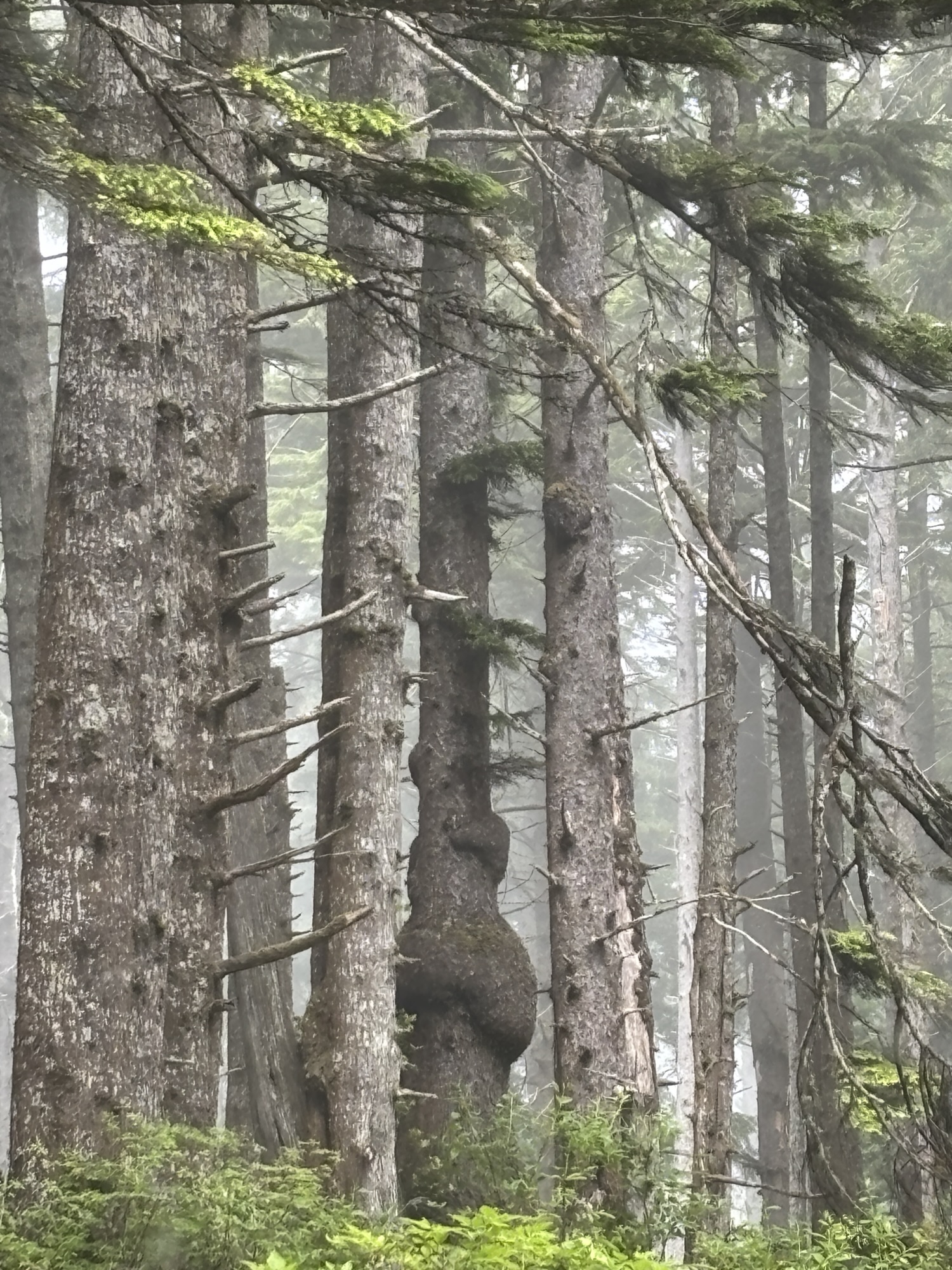
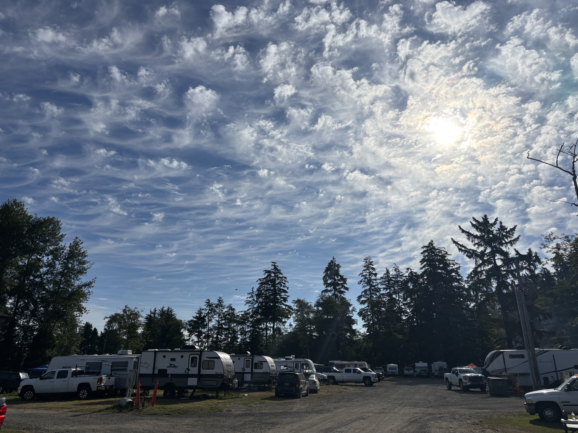
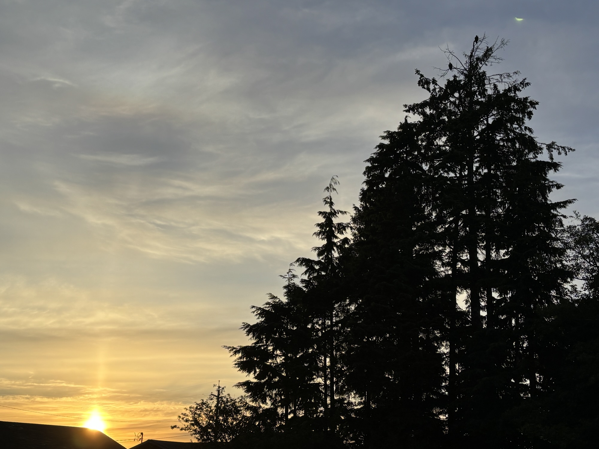
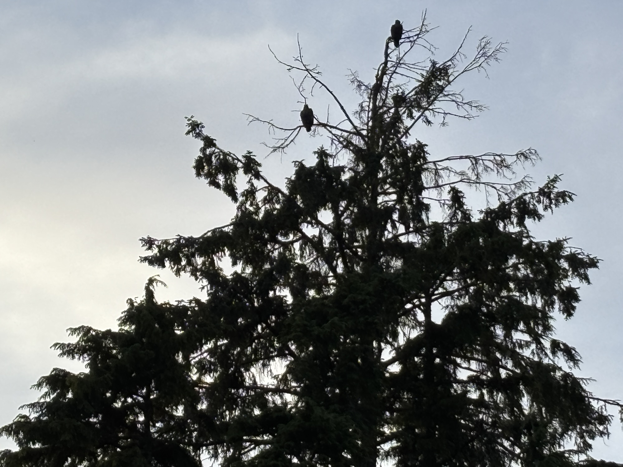
Soon we turned off the highway to a state road and headed to Neah Bay. The last few miles were very narrow, windy, and rough but we made it and got checked to the RV park. Immediately we noticed a Bald Eagle settled in the top branches of a tree right in the park. Had never seen anything like that before. A park resident next to us said that they are there all the time.
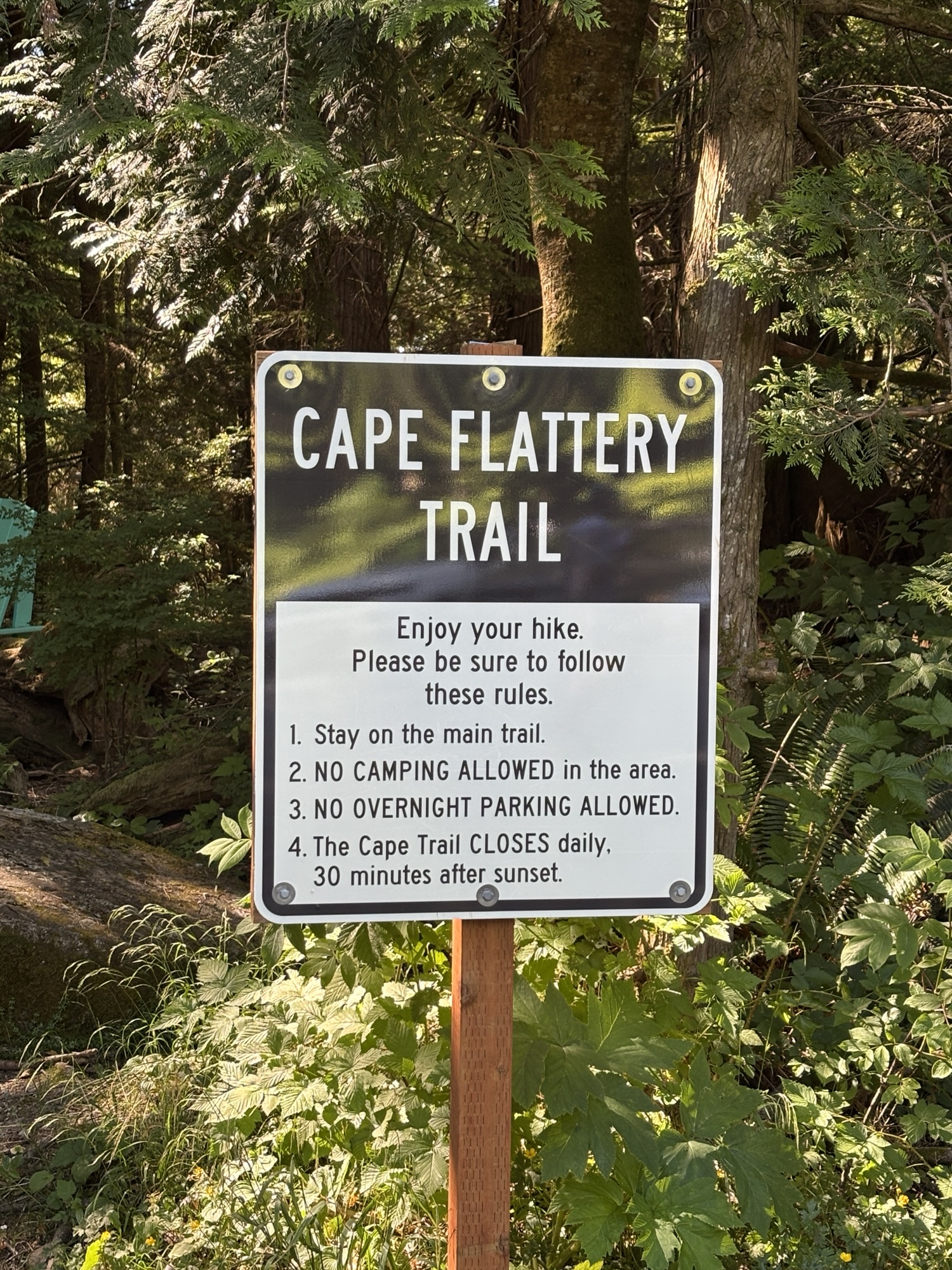
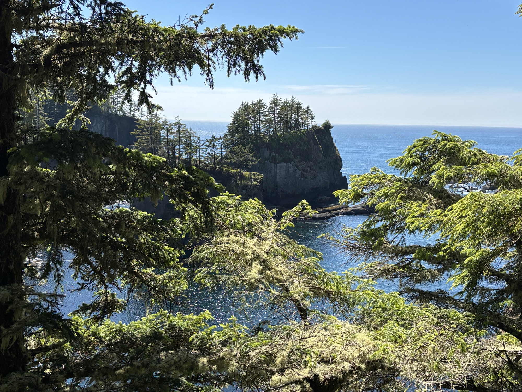
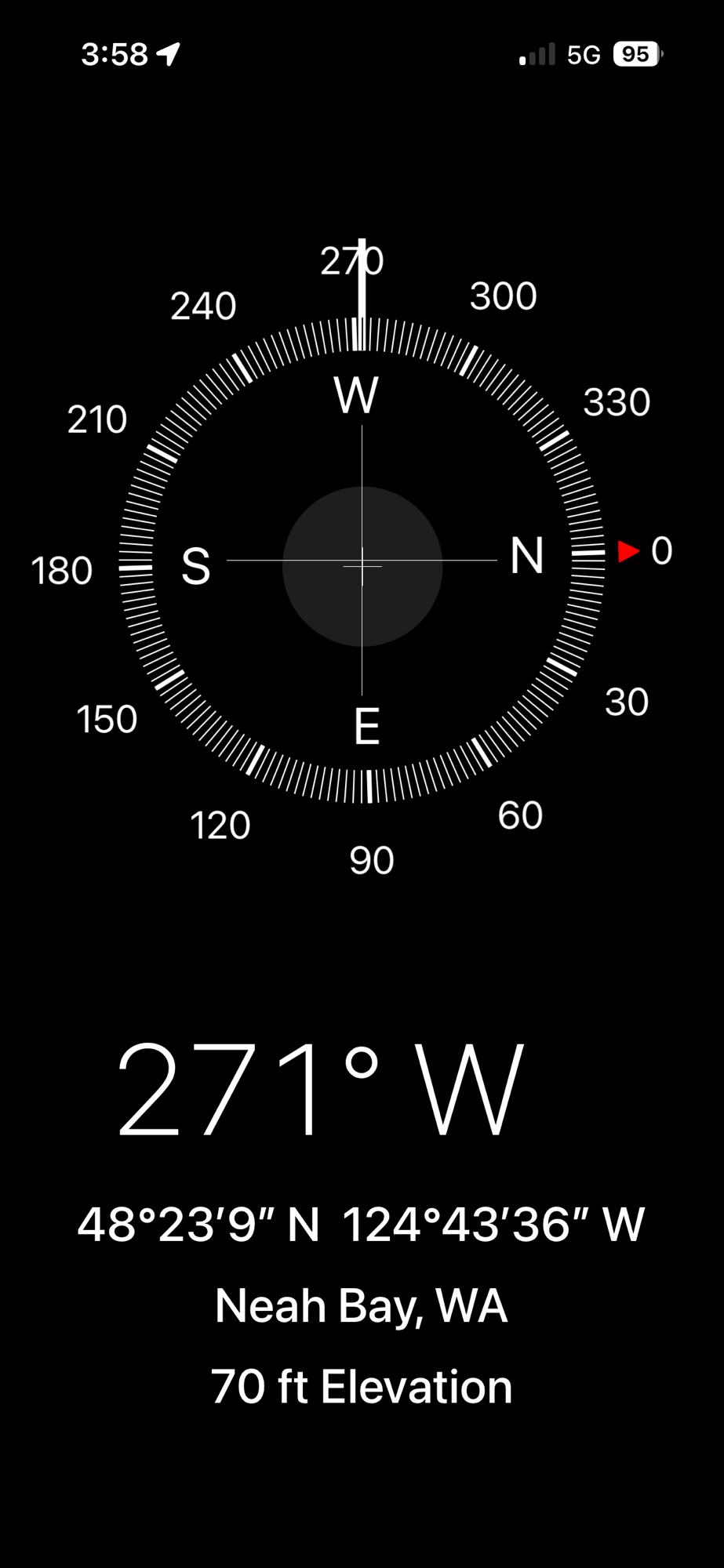
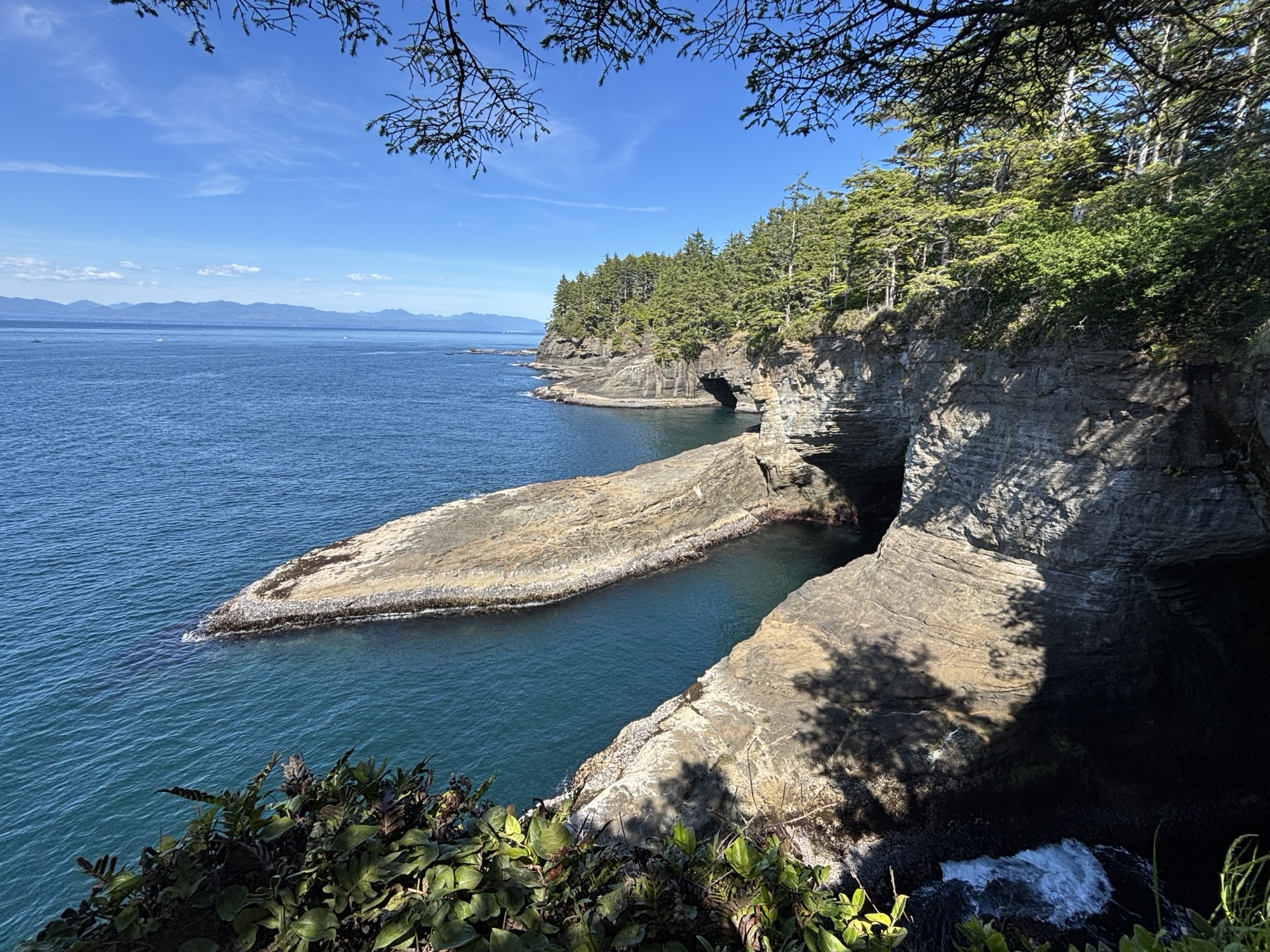
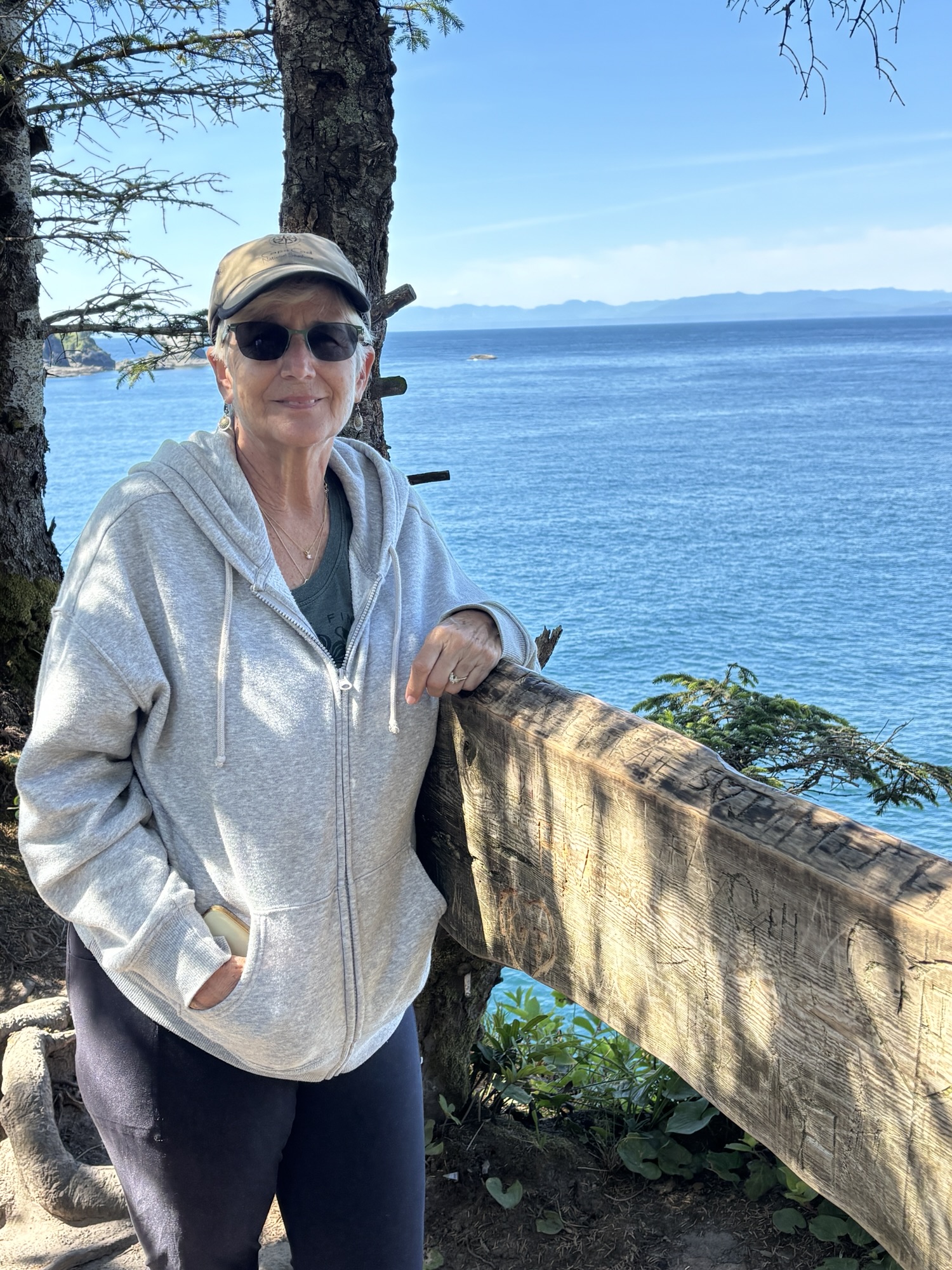
Because we only had one night there, we went directly out to Cape Flattery. It is noted for being the most northwestern point in the lower US states. So had to go there! After parking, we hiked the last ¾ mile to the overlook. It was a relatively easy walk and the views of the Pacific Ocean and the Straits of Juan de Fuca between the US and Canada were worth the effort!
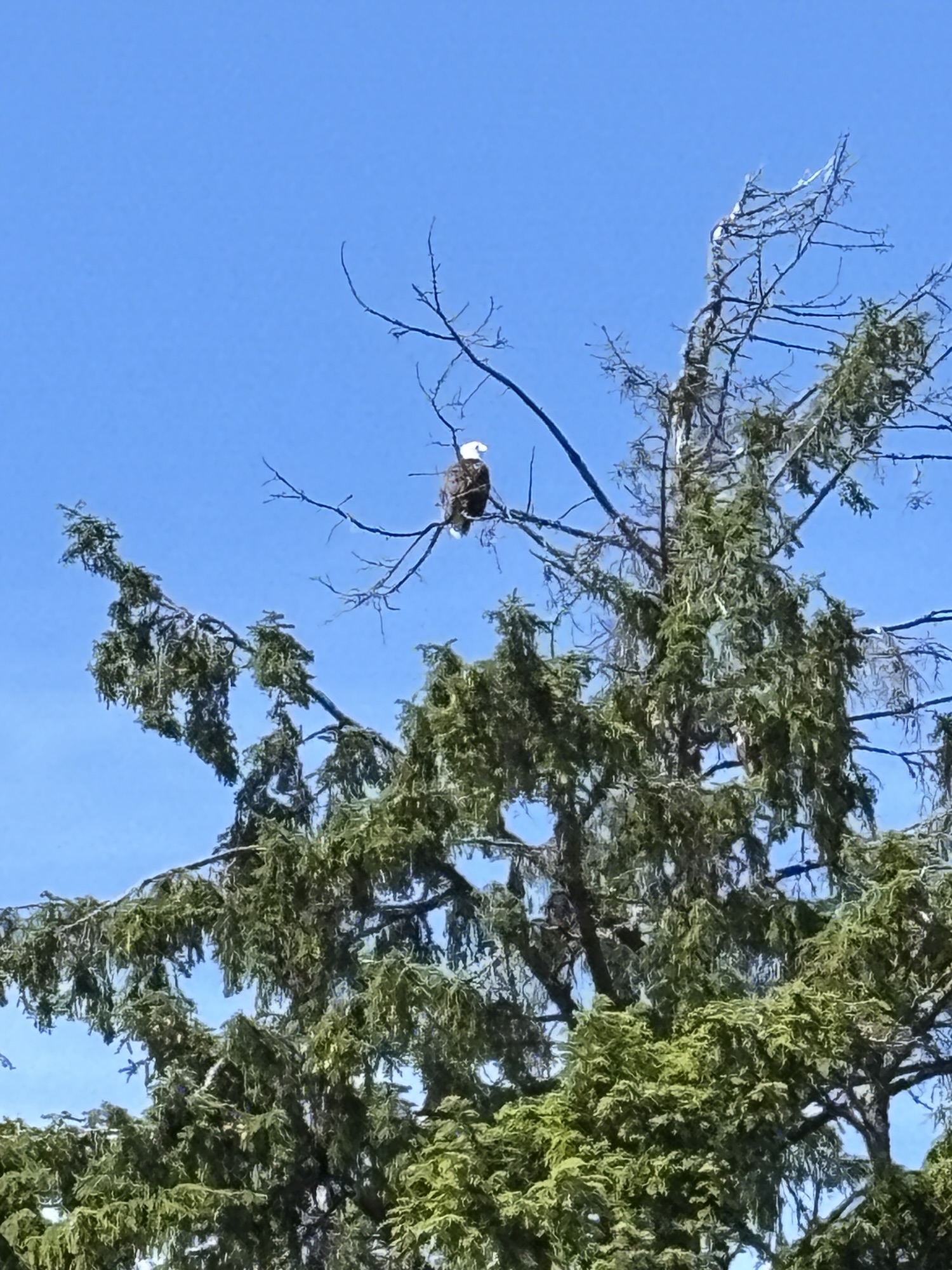
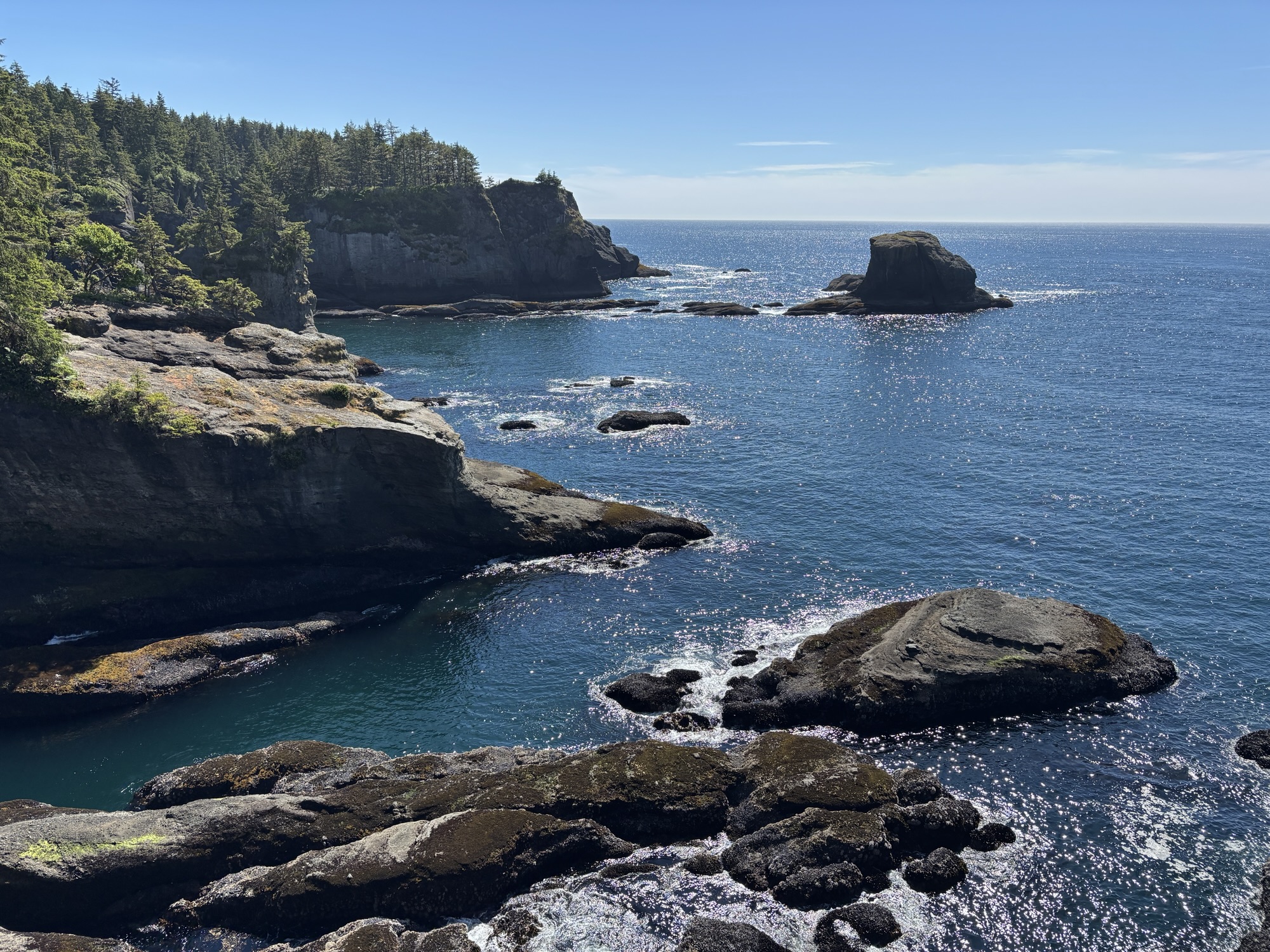
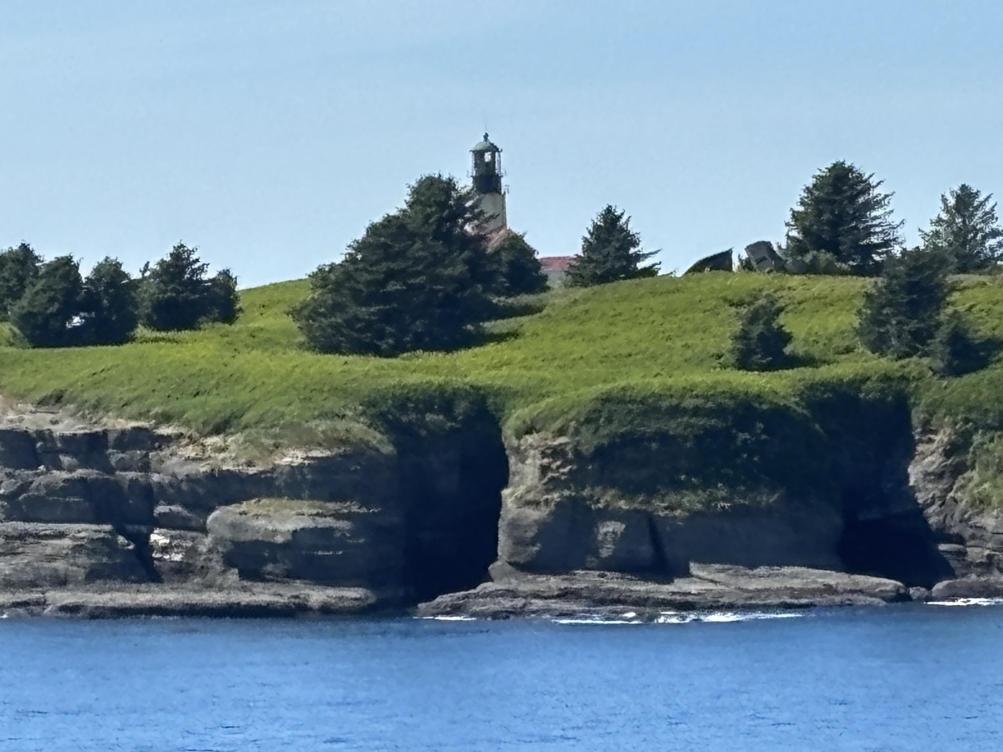
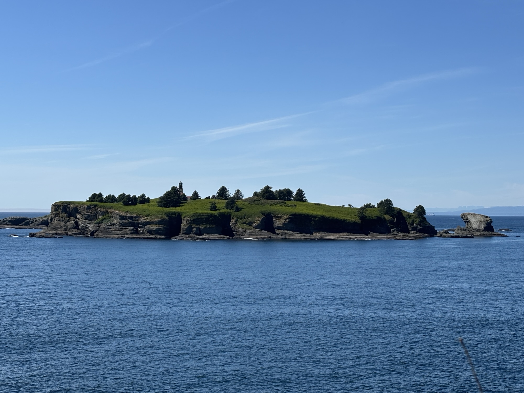
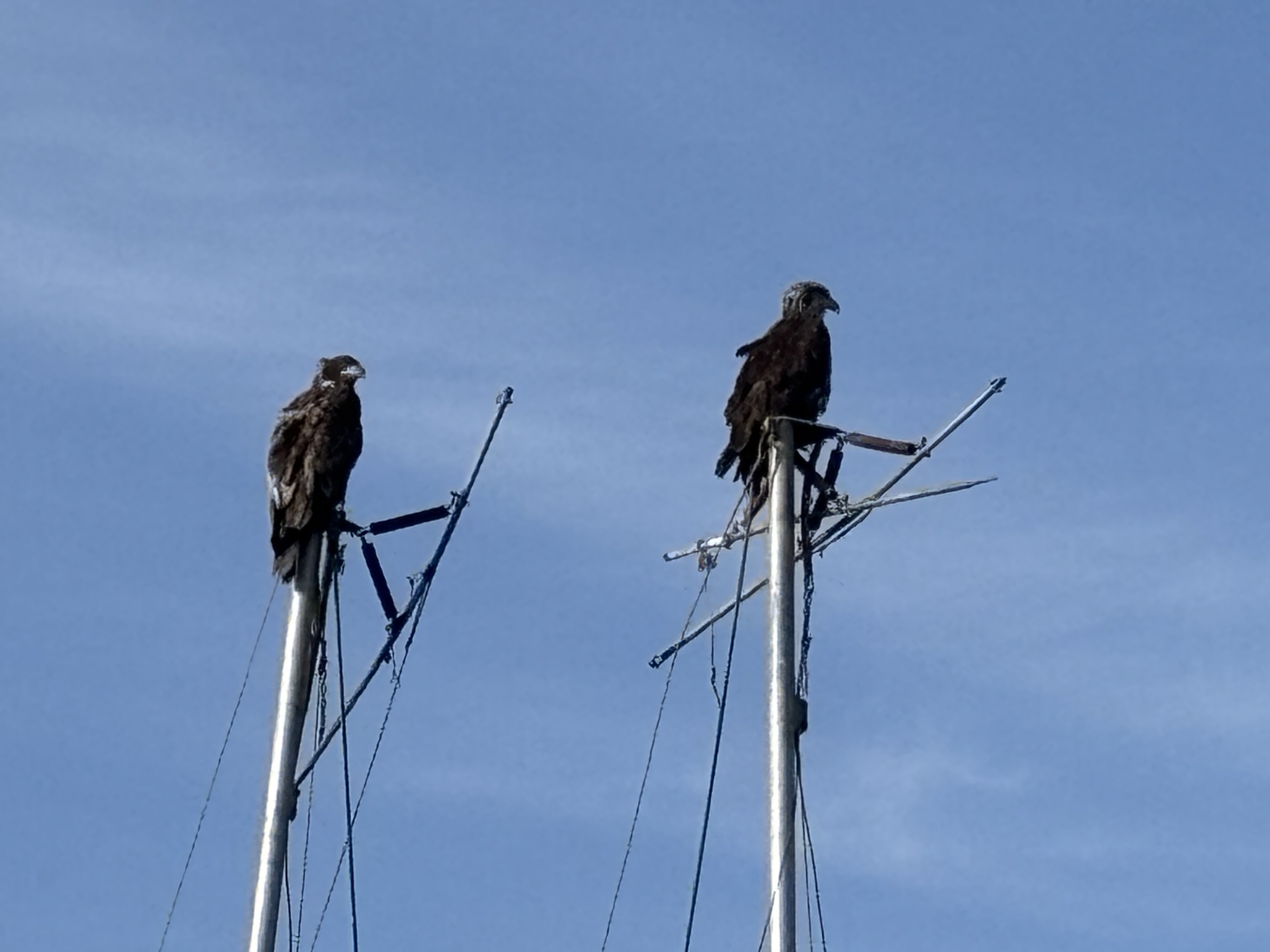
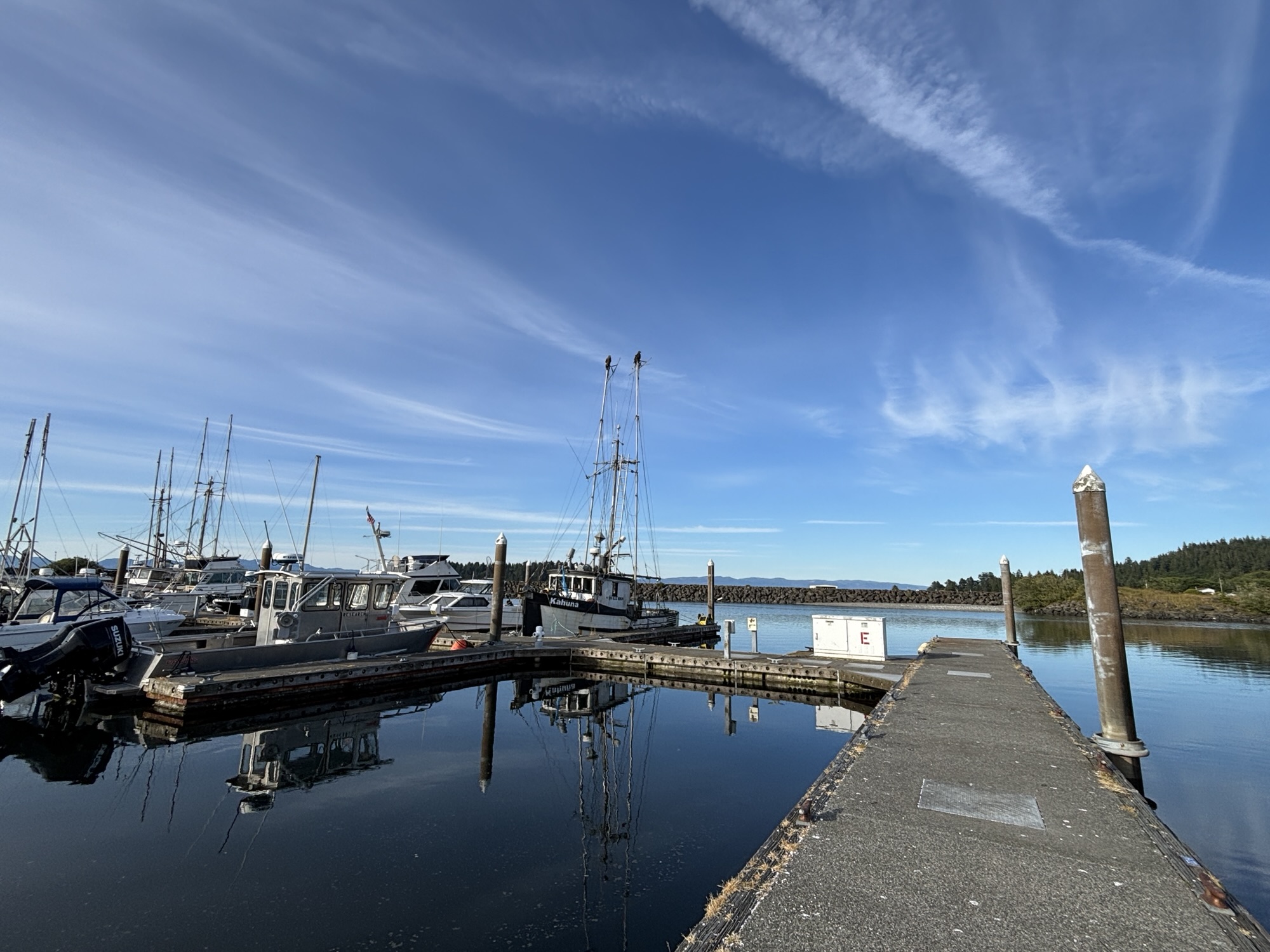
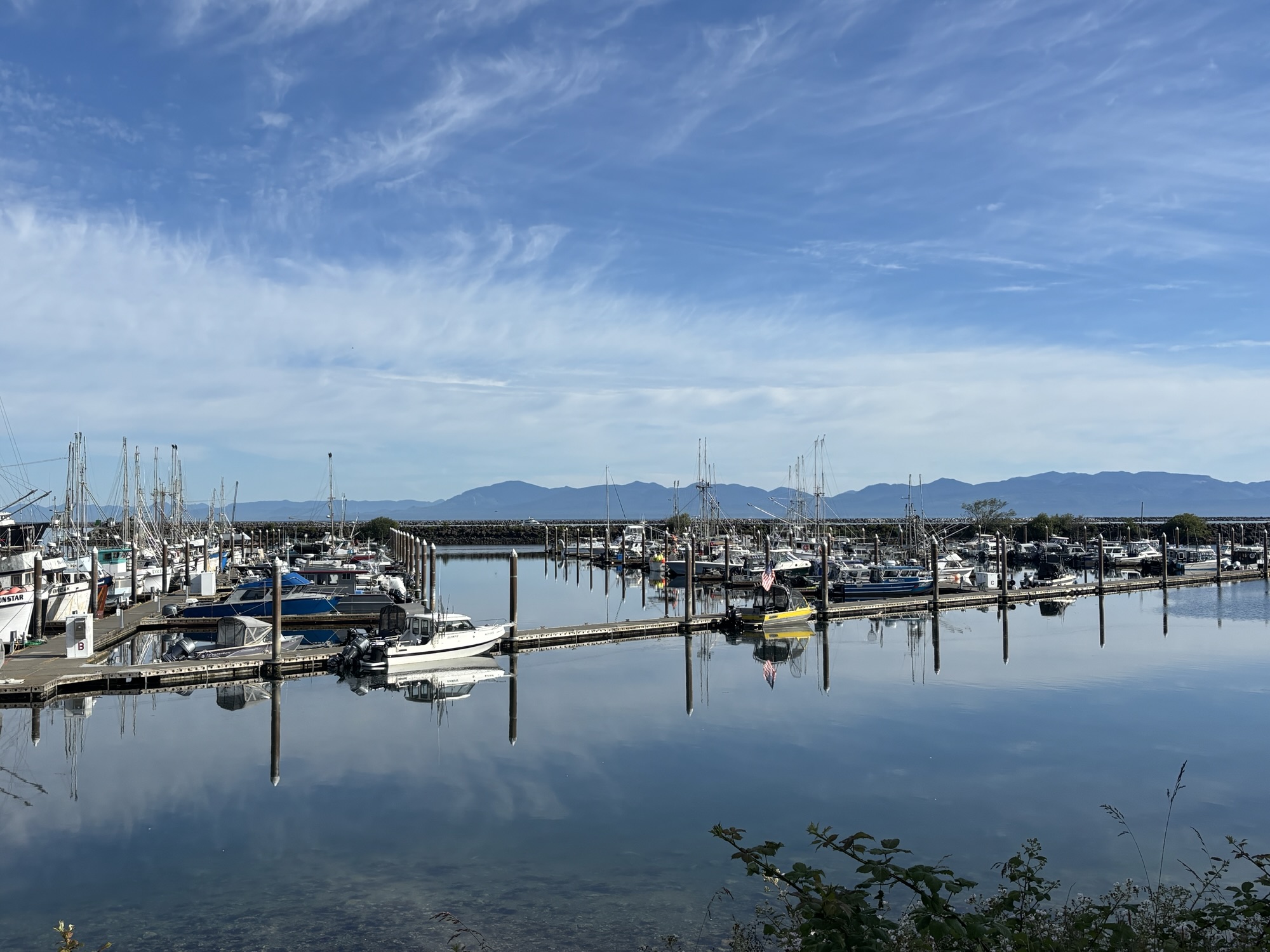
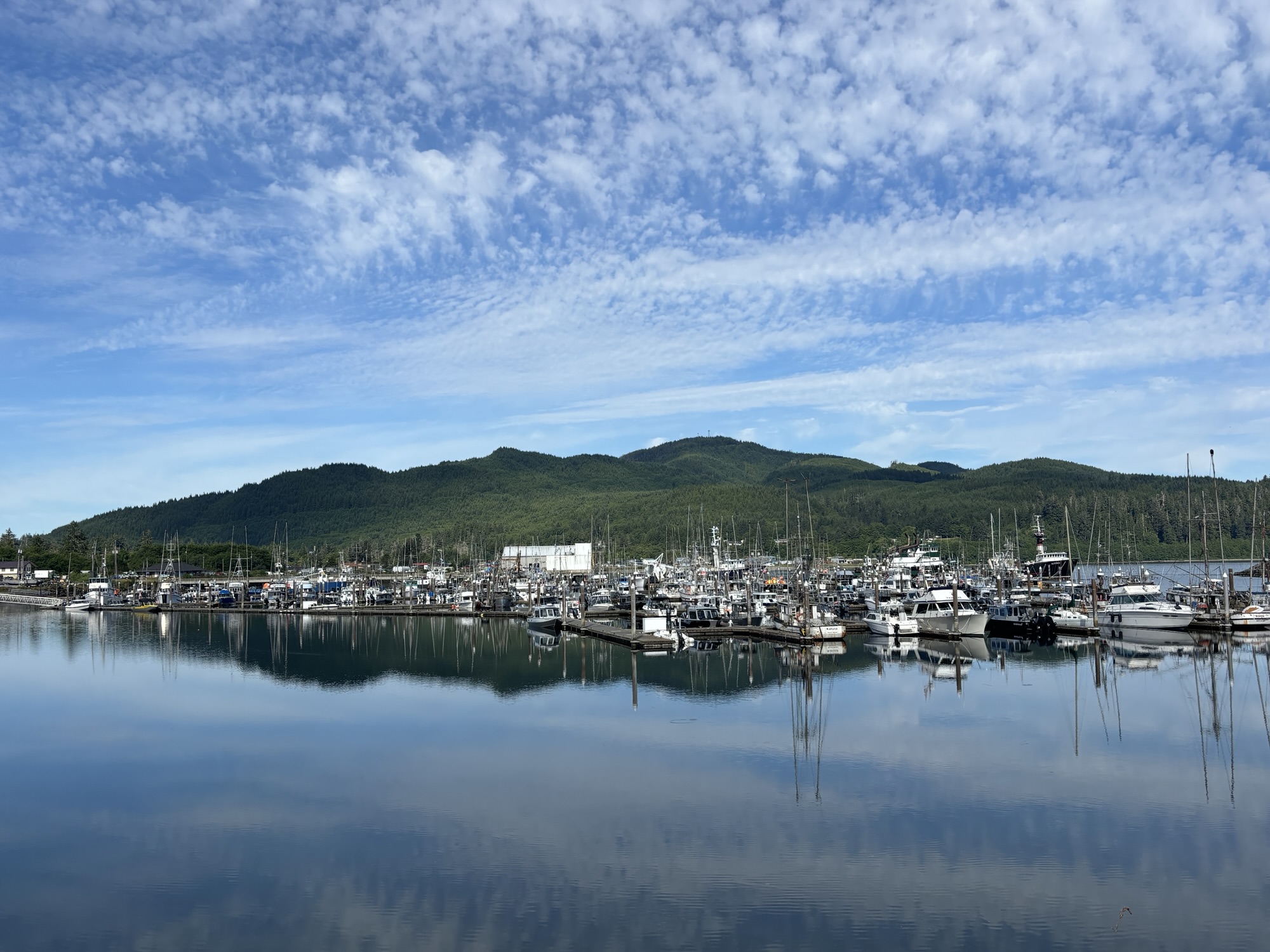
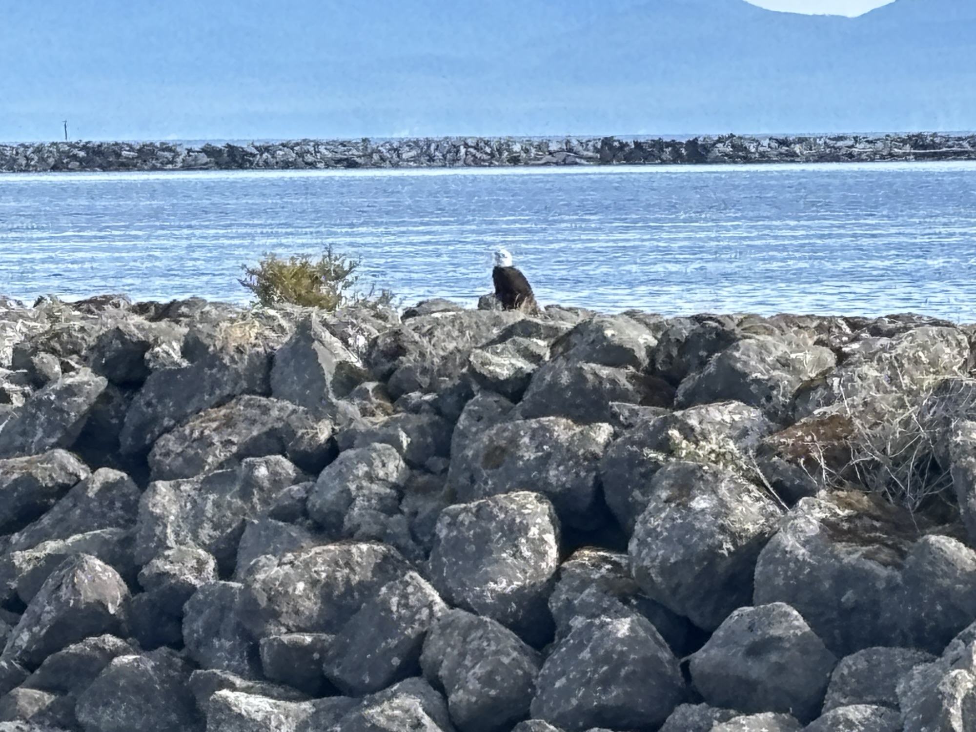
When we got back to Neah Bay, we walked over to check the marina and noticed more eagles sitting on the masts of several of the boats. We walked toward the boats to take some photos and they continued to just sit there. We also saw some harbor seals, but couldn’t get a good photo. Amazing!
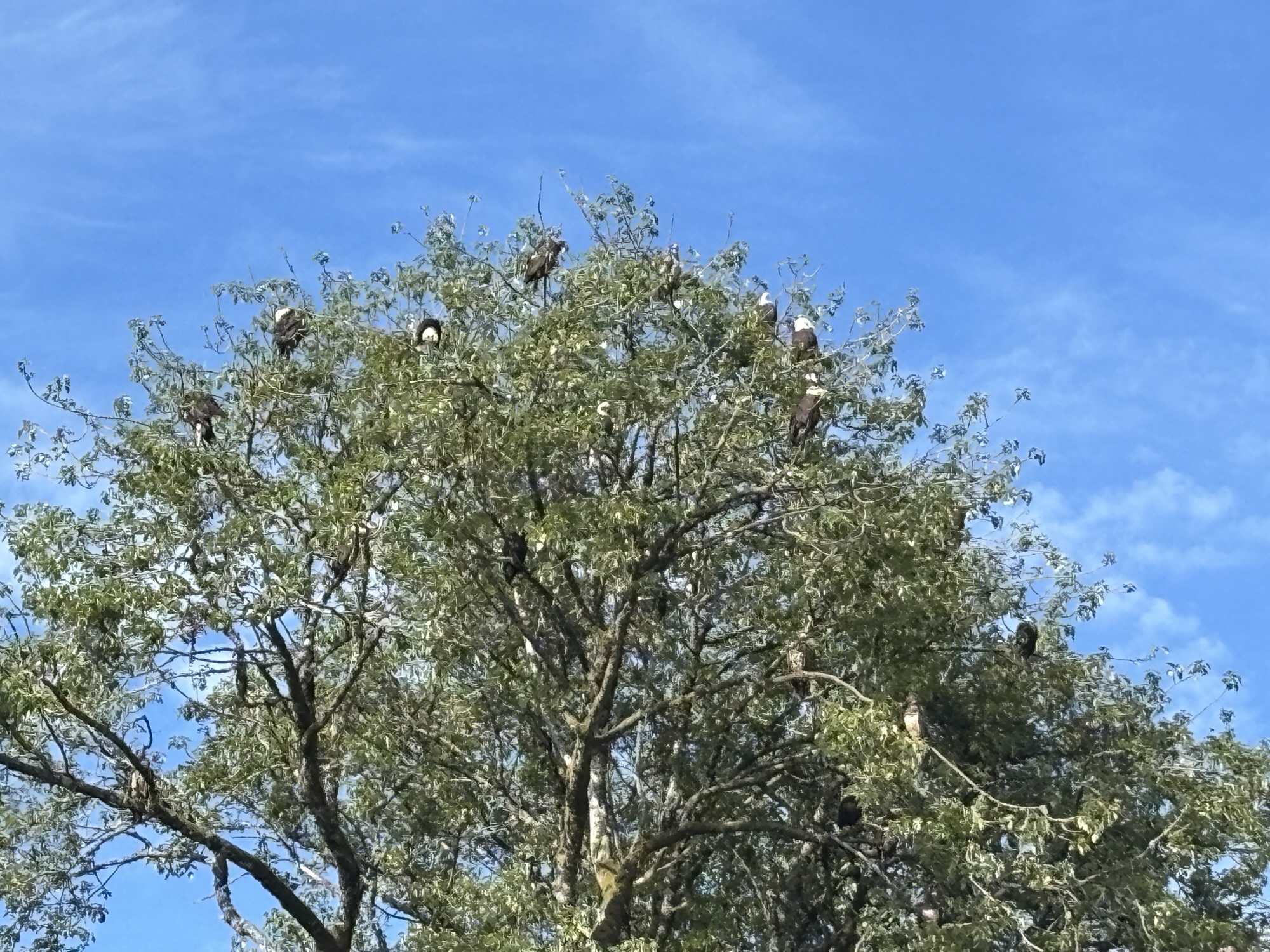
The next morning while walking through town, we noticed a tree with maybe 20 or so eagles! This was so unexpected. And we figured out how to tell the juveniles and the mature eagles. They are very majestic and it was such a surprise to see them!
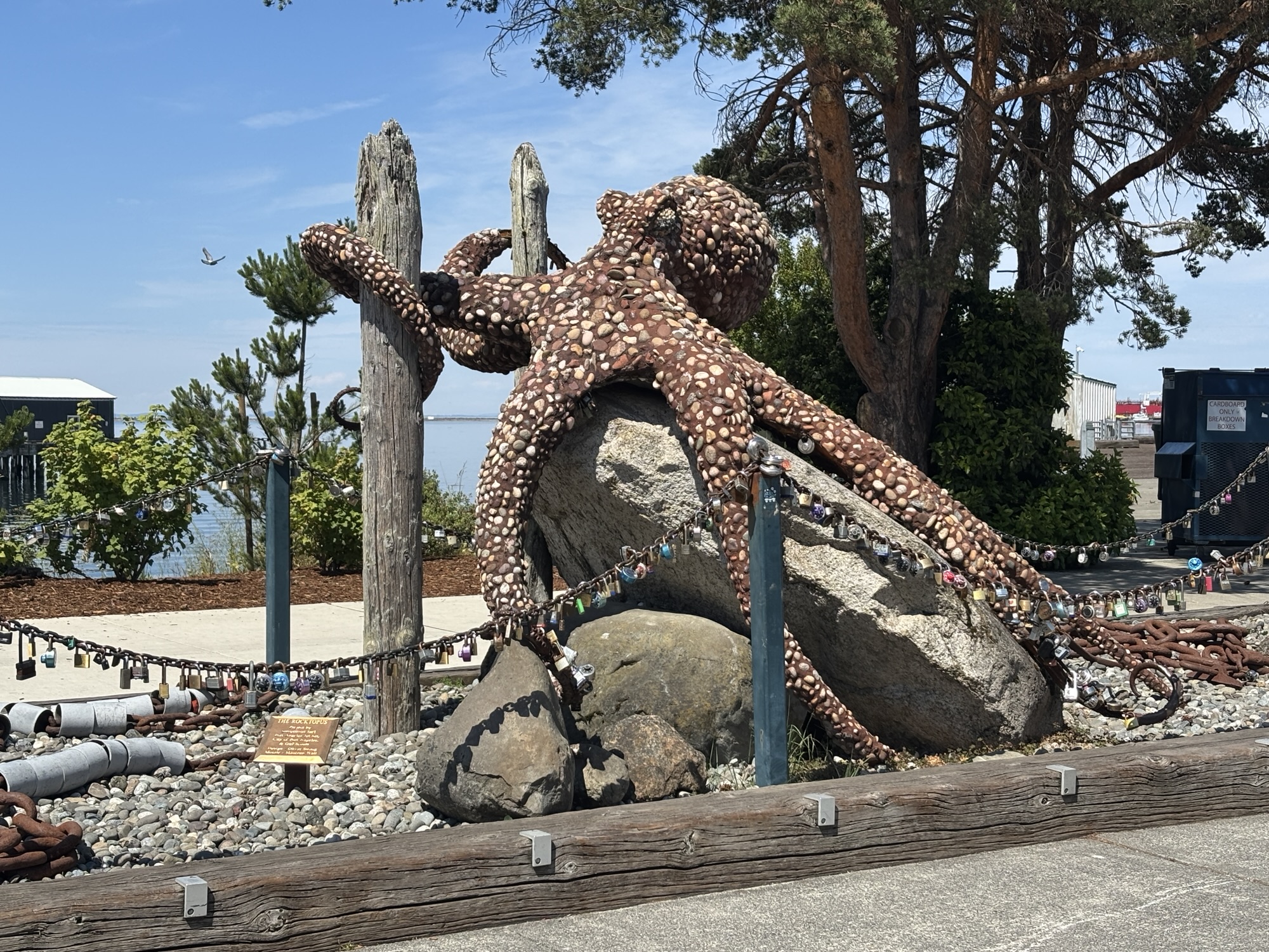
Finally, the next day we drove the short distance over to Port Angeles. This is the harbor town for the Black Ball Ferry over to Victoria, BC. We went first to the ferry office just to see what the check-in process was and find out about where to pull in. All very easy and we were ready for the next day.
We had all afternoon available, so we stopped by the Olympic National Park office here. It was much busier being in town, but we got more info and decided to do the 17-mile drive up into the park to Hurricane Ridge viewpoint. We took the tops off the Jeep for the view and headed up. The road is windy but a good, paved road with lots of turnouts.
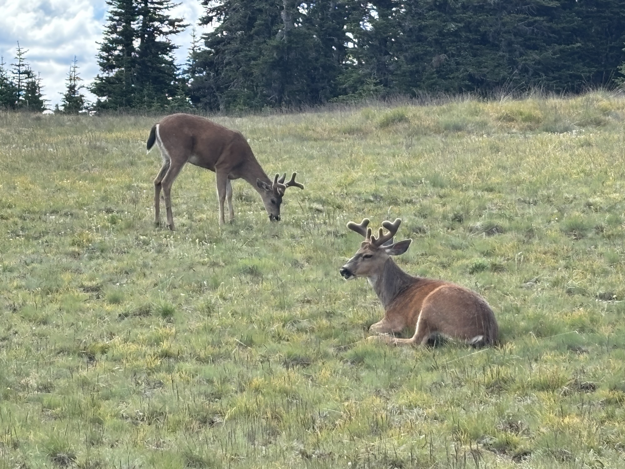
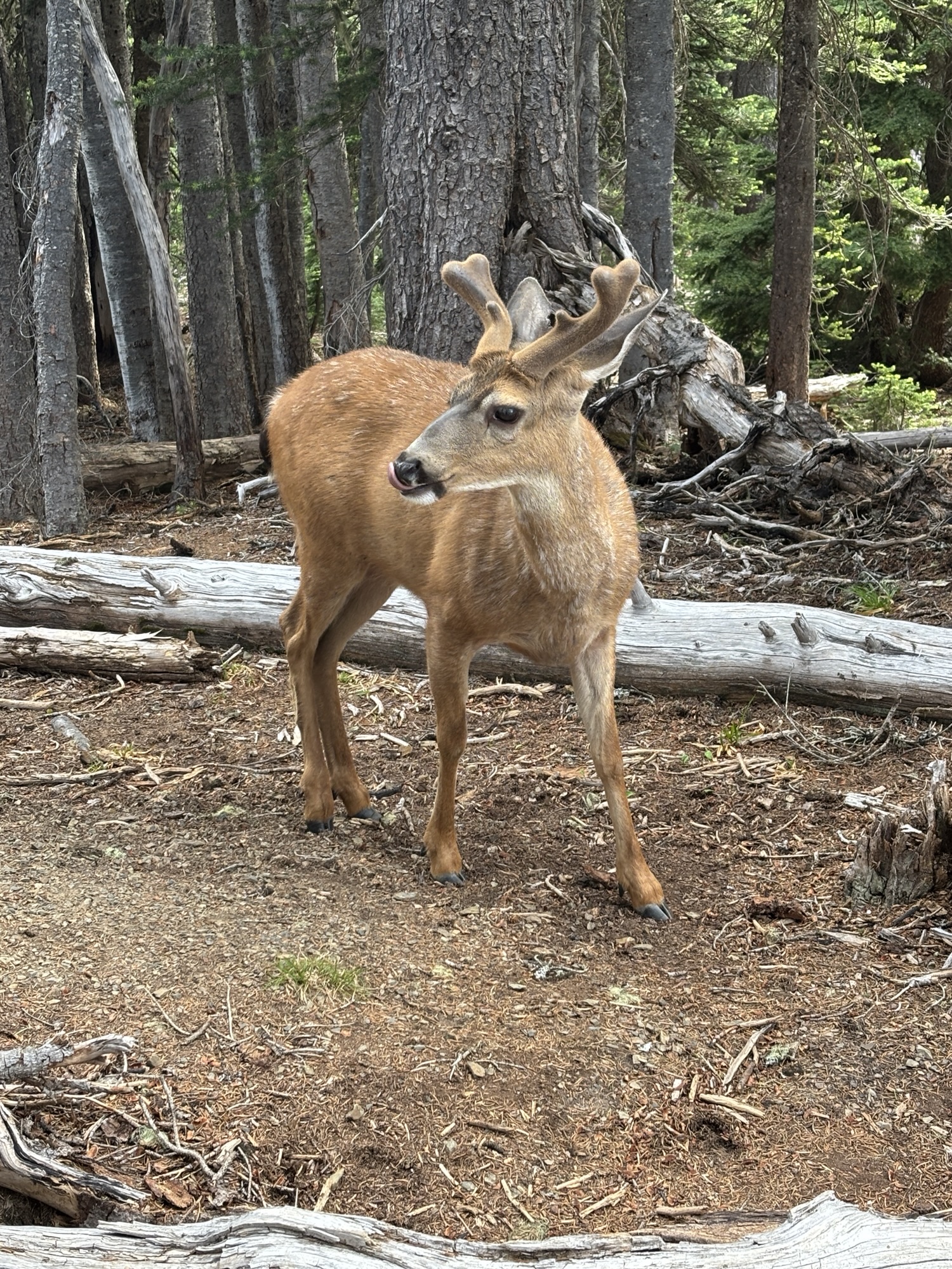
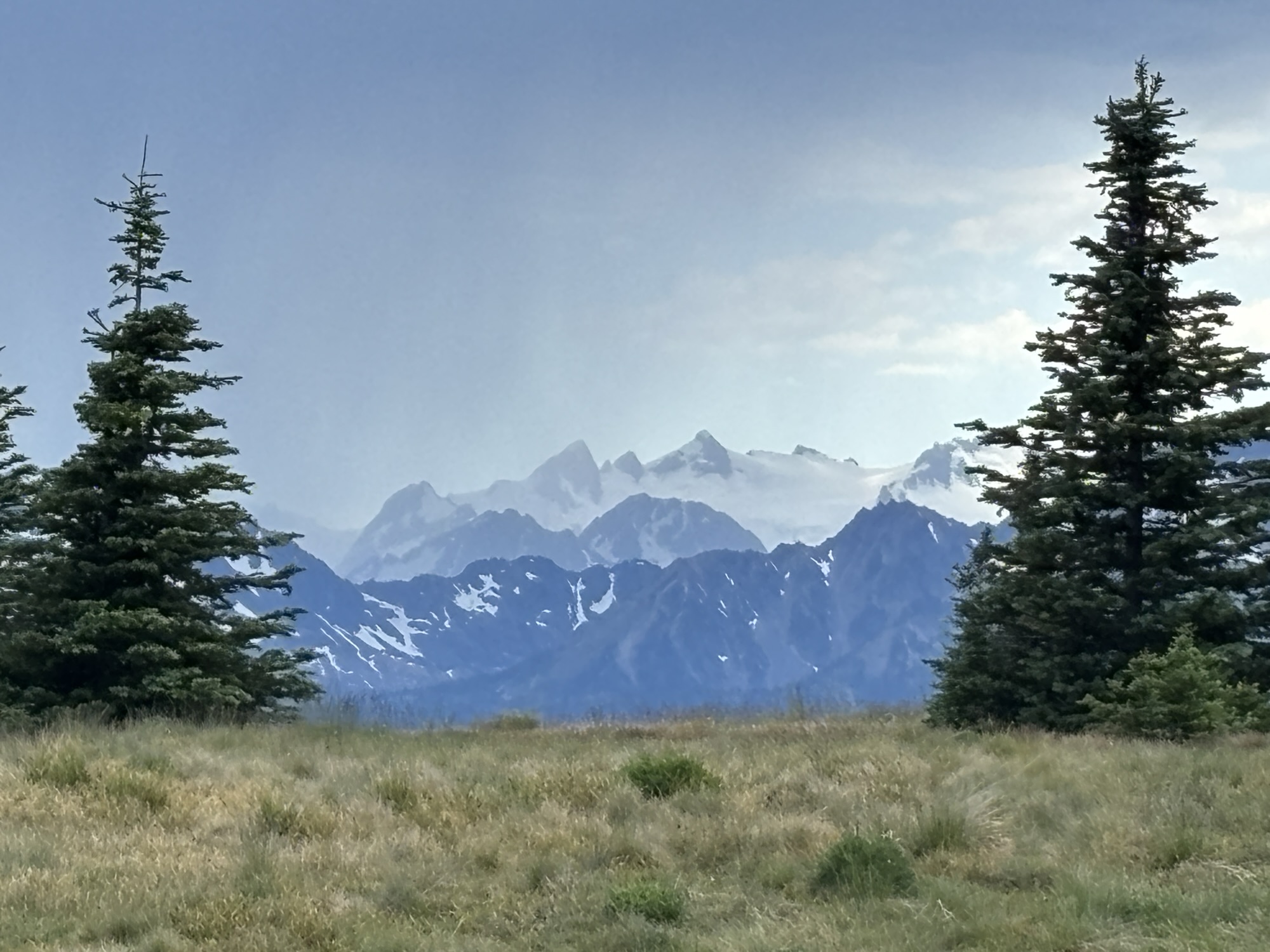
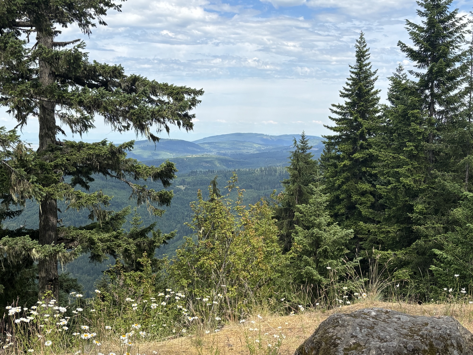
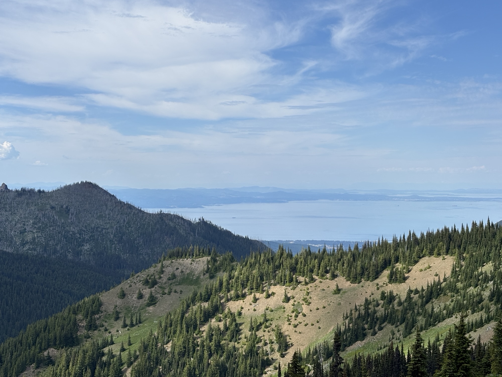
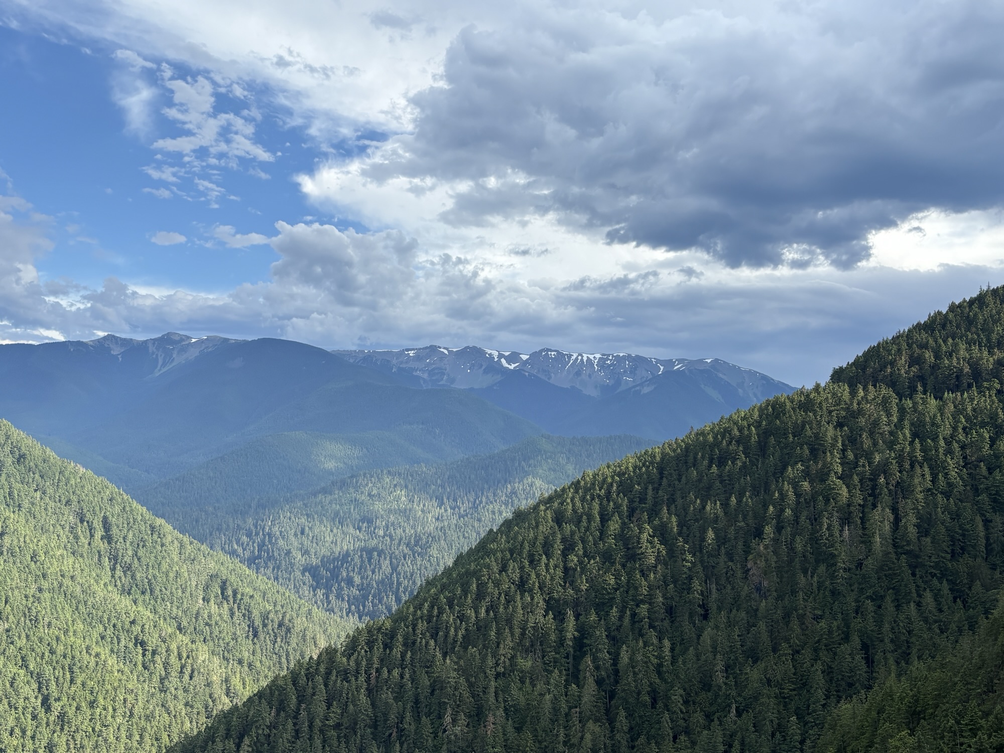
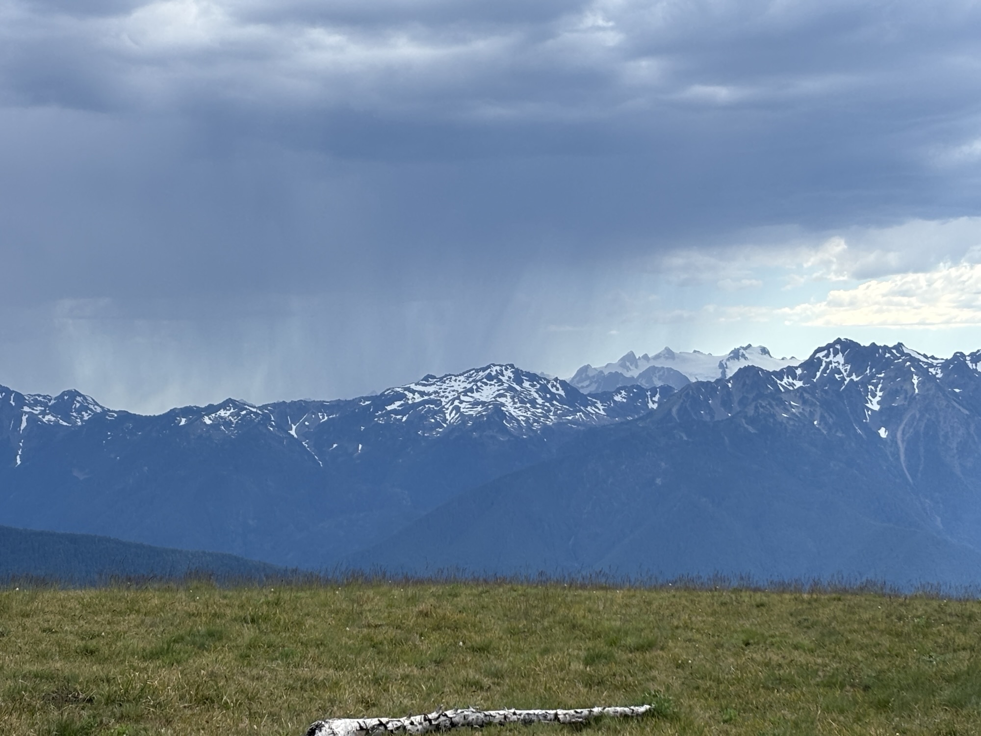
At the top, there is a large parking area and some hiking trails. The old visitor center burned down 3 years ago and has not been replaced yet. And the temporary sites were closing since we were late in the afternoon. But we took the hike around to the other side of the ridge. There were several ‘tame” deer in the area munching with apparently no concern for the crowd. Some you could almost reach out a pet! Great views of the mountains, the Strait, and even Mt. Olympus in the distance. Very dramatic.
Back down the hill and to do our prep for the short ferry ride over to Canada.
So that’s it for Leg #2. Next, we head to Canada and more adventures.

