From California and the Redwoods, we crossed back into Oregon at the town of Brookings located in the southwestern corner of the state and right on the ocean. From Brookings to Astoria and the border with Washington is about 340 miles. This is the distance from Dallas to Houston or even Miami to Ocala and we drive this in one day all the time. But we had 10 days and 5 stops scheduled to see as much of the coast as we could. As it turned out, we could have easily spent more time there.
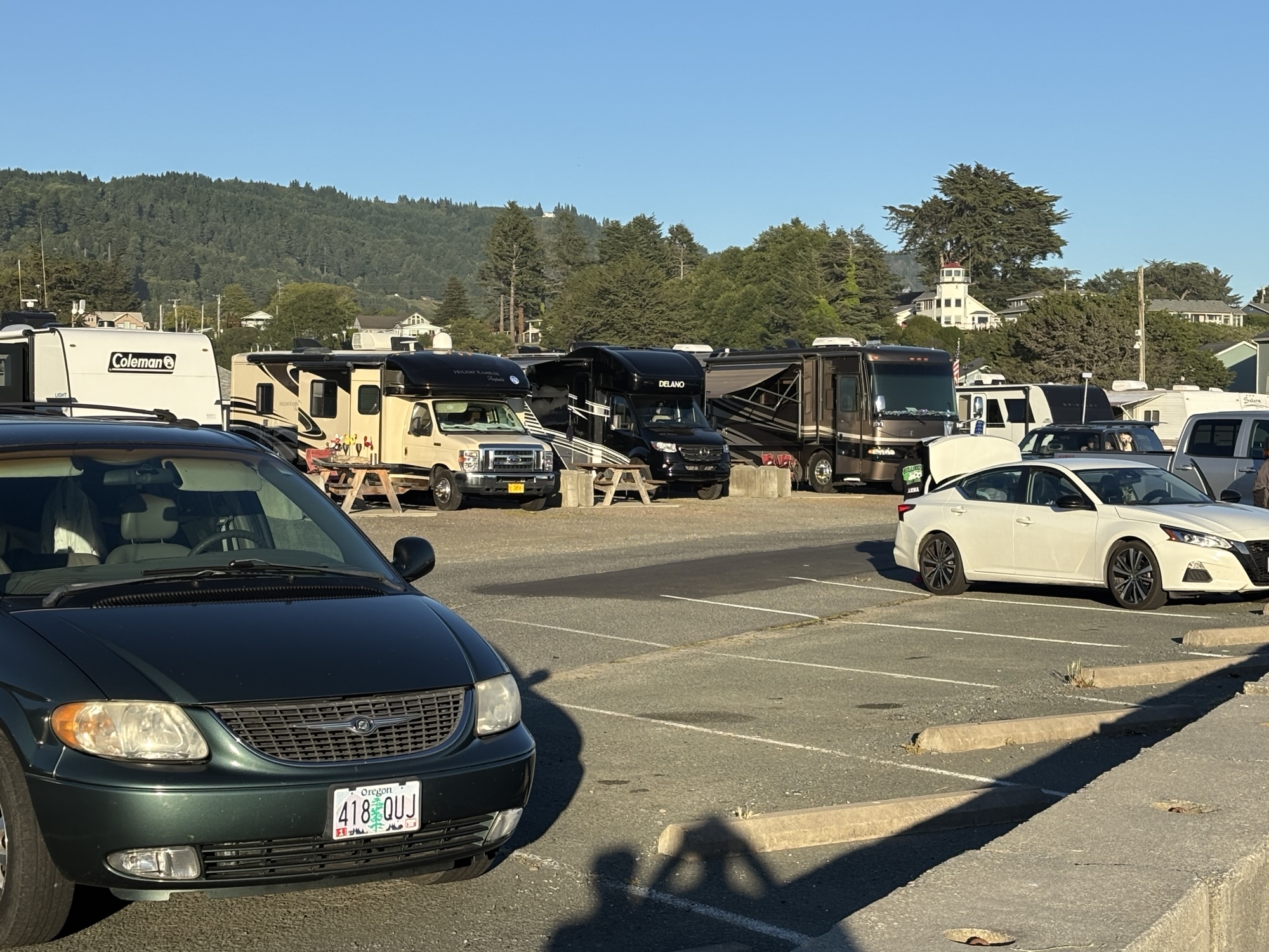
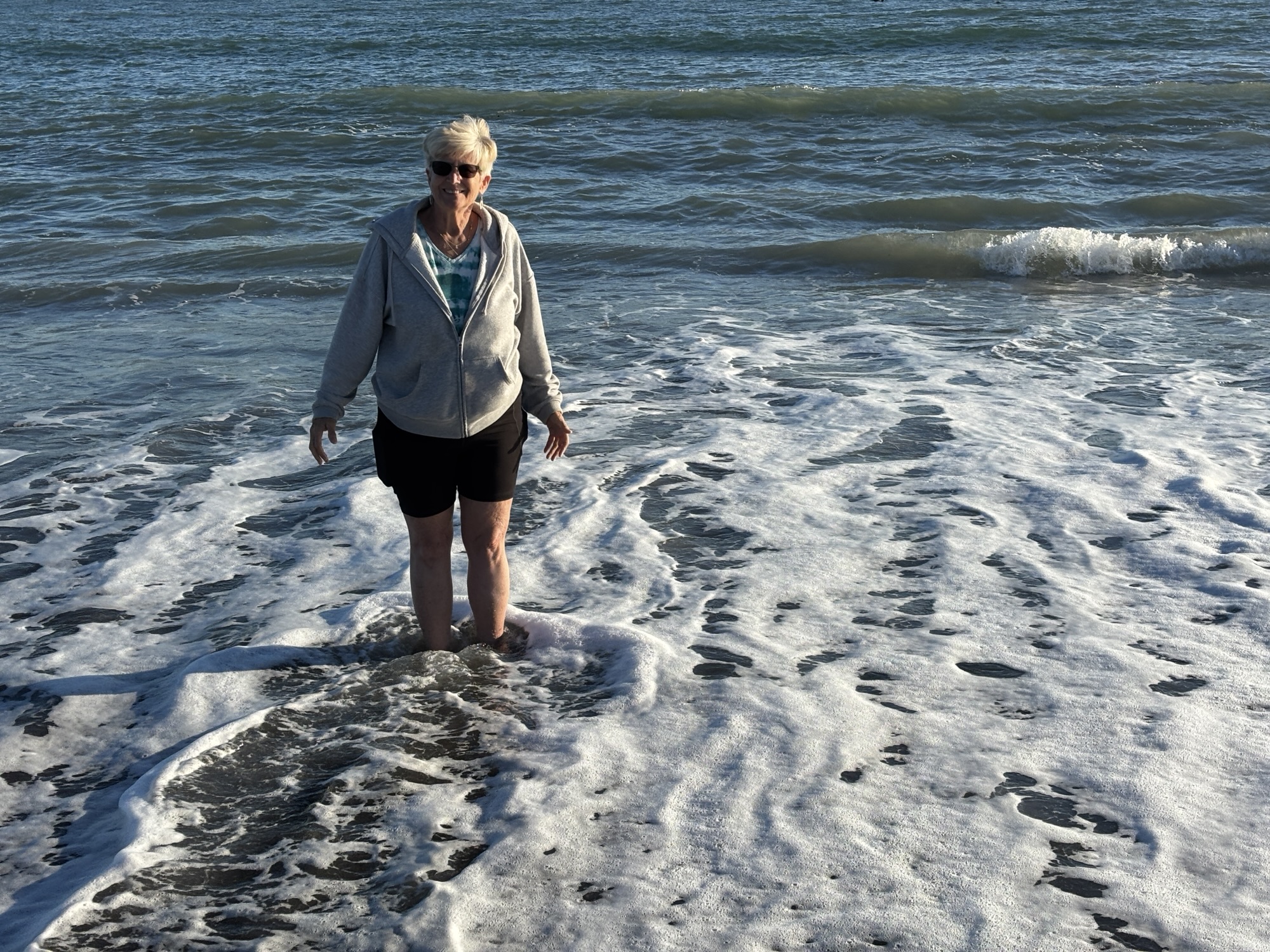
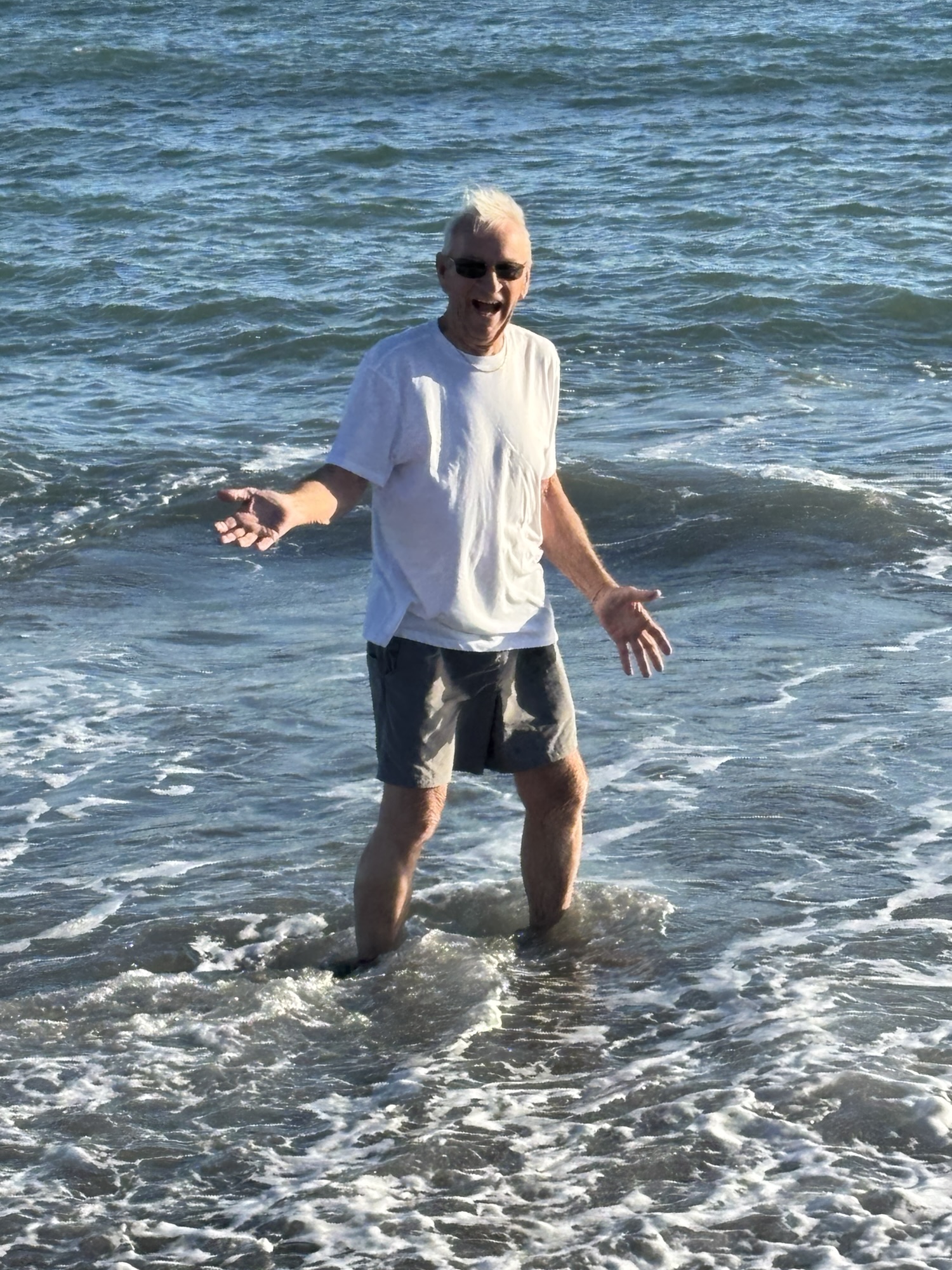
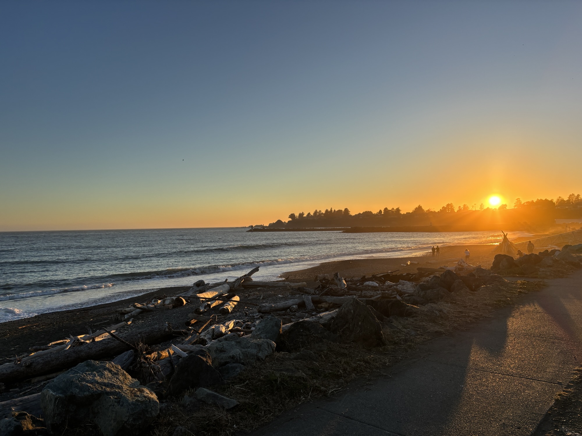
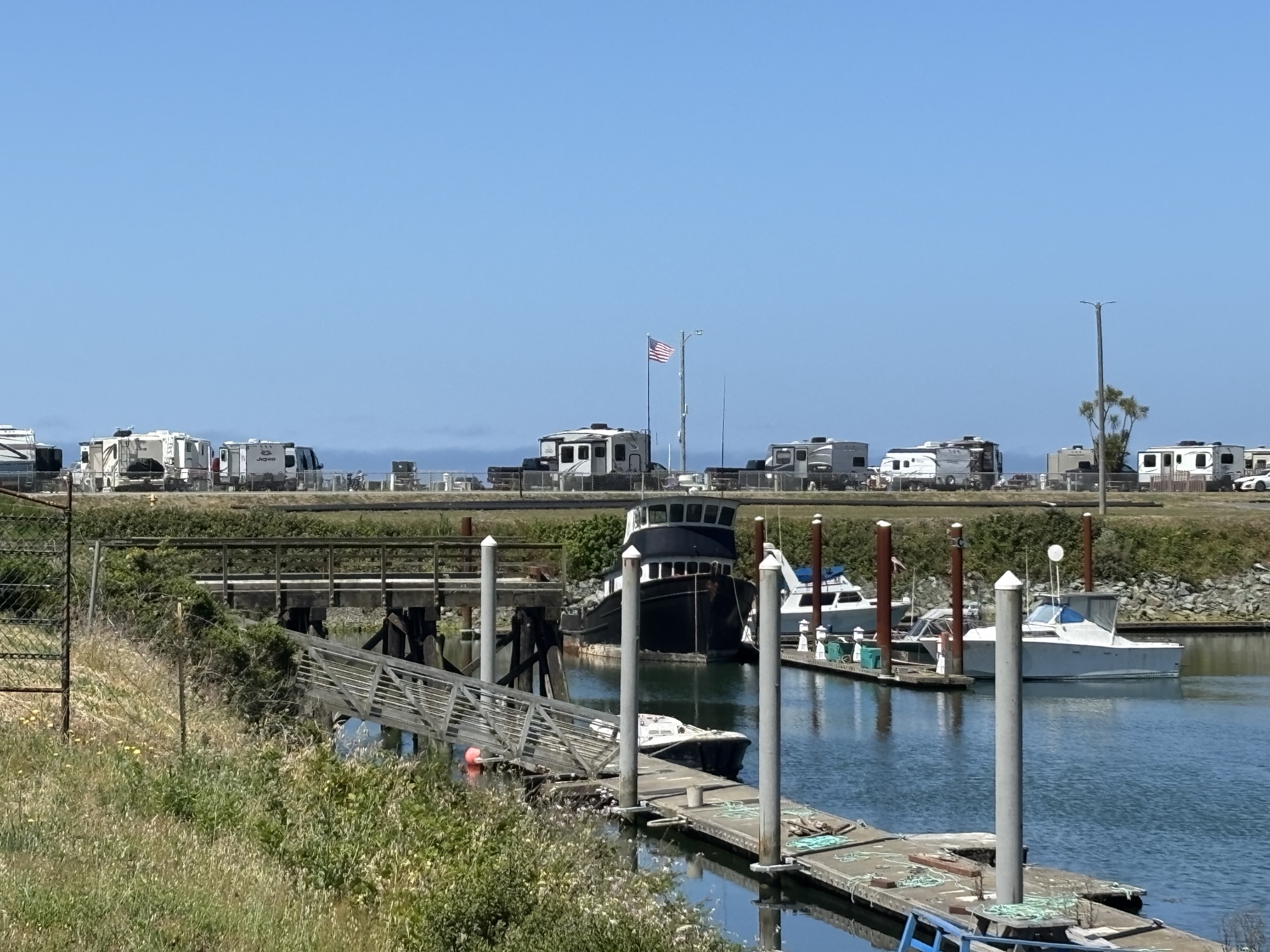
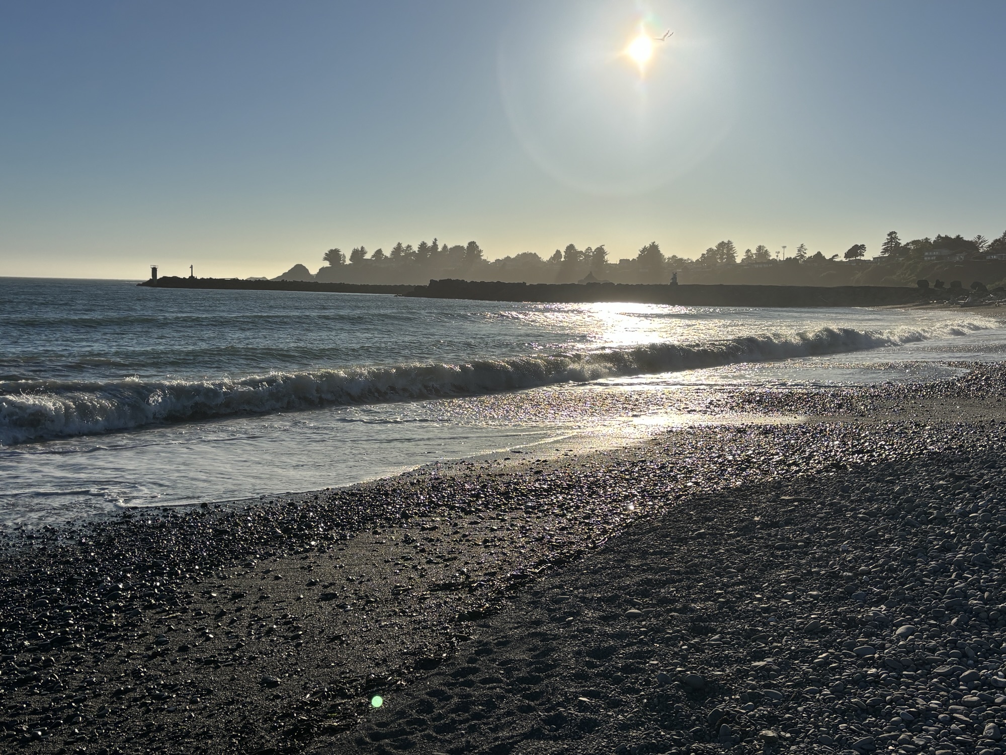
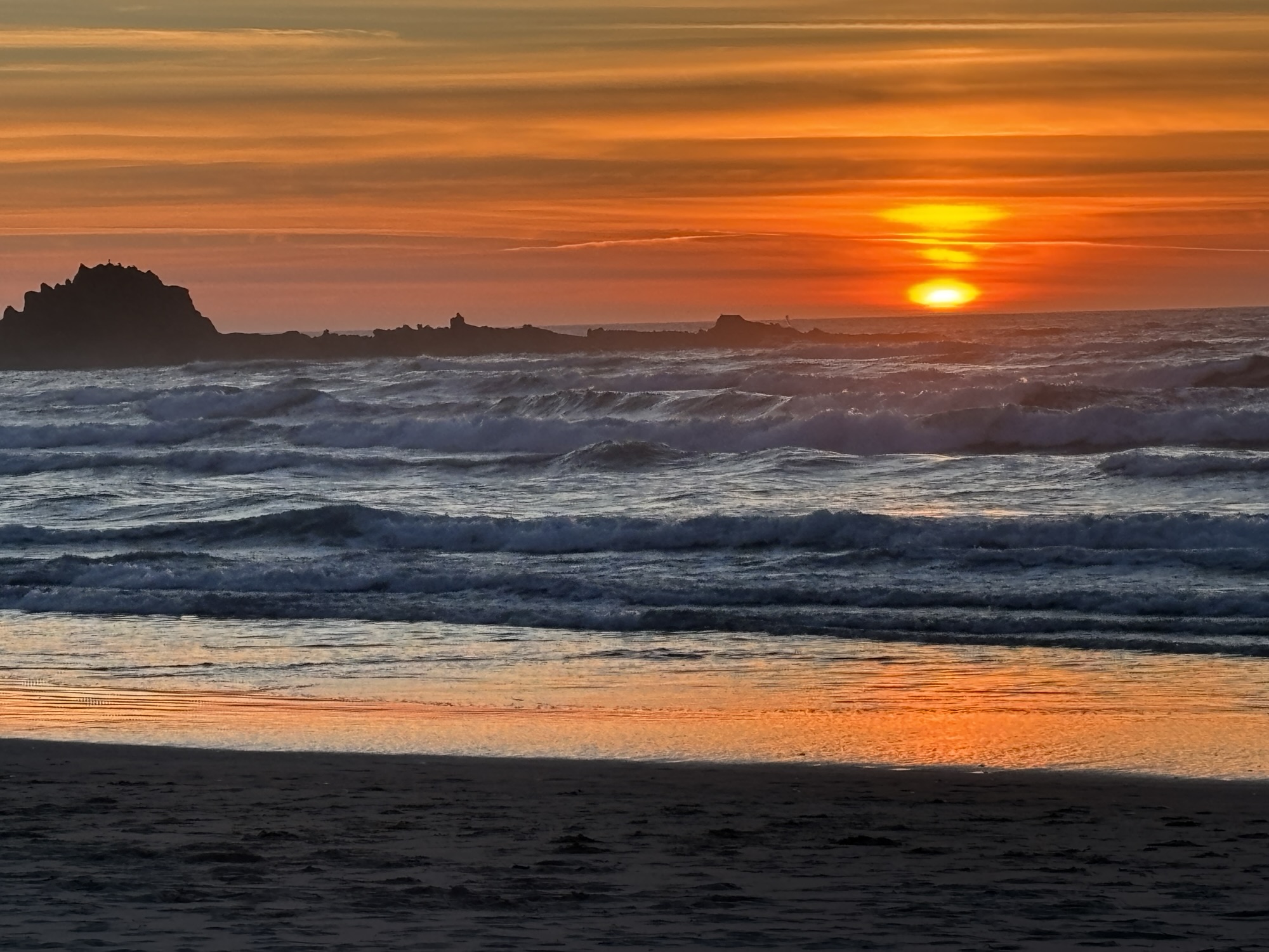
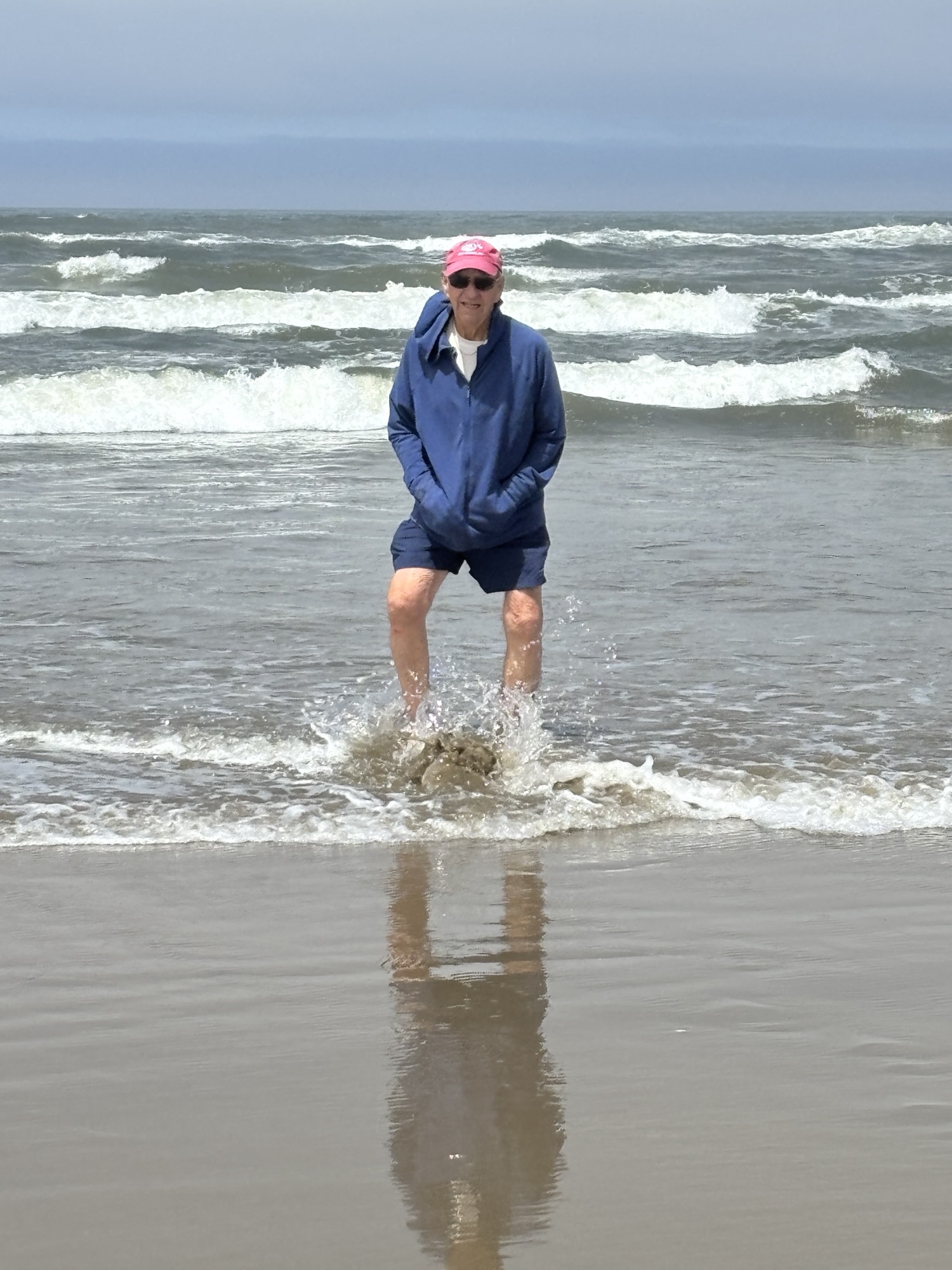
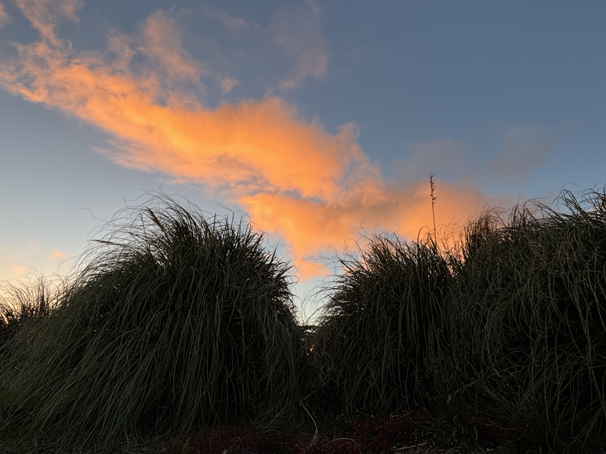
Our first RV park was next to the Port of Brookings harbor, and we could walk to the water from the campgrounds. After a quick trip to our new favorite grocery etc. store, Fred Myers, for some provisions, we settled in to see what was on the schedule. First, we checked out the water by getting in up to our ankles to test temp. It was definitely cold! And we also took advantage of checking out the sunset over the ocean. And it was definitely awesome!
The next morning, we went to the Visitor Center and found a list of highlights along the Oregon coast listed by mile marker! And there were so many, it was printed on the front and back. The forecast for a lot of coastal sightseeing was beginning to seem very real. We had never had this kind of resource to plan by and because of all the praise of the coast, it turned out to be very helpful.
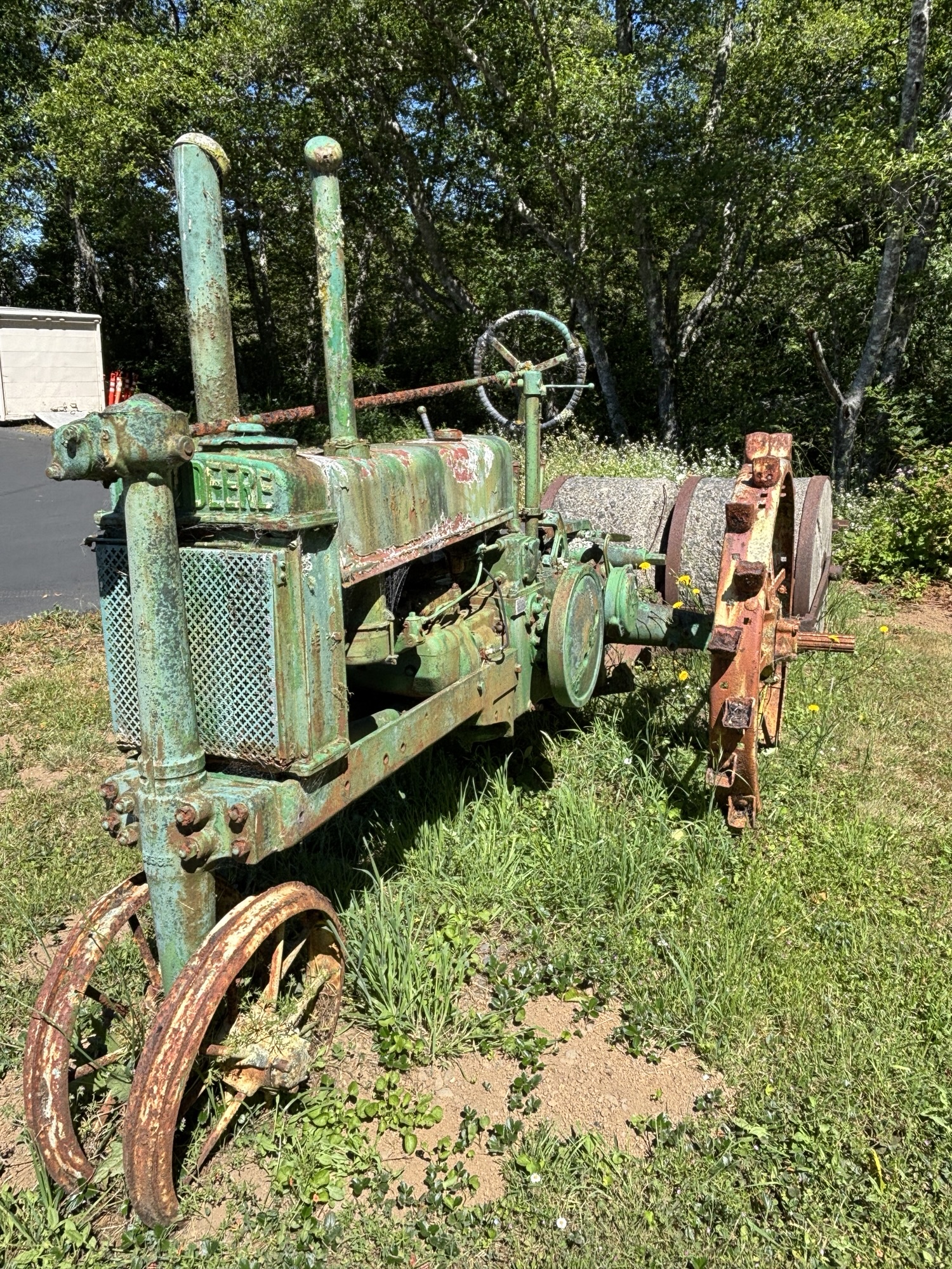
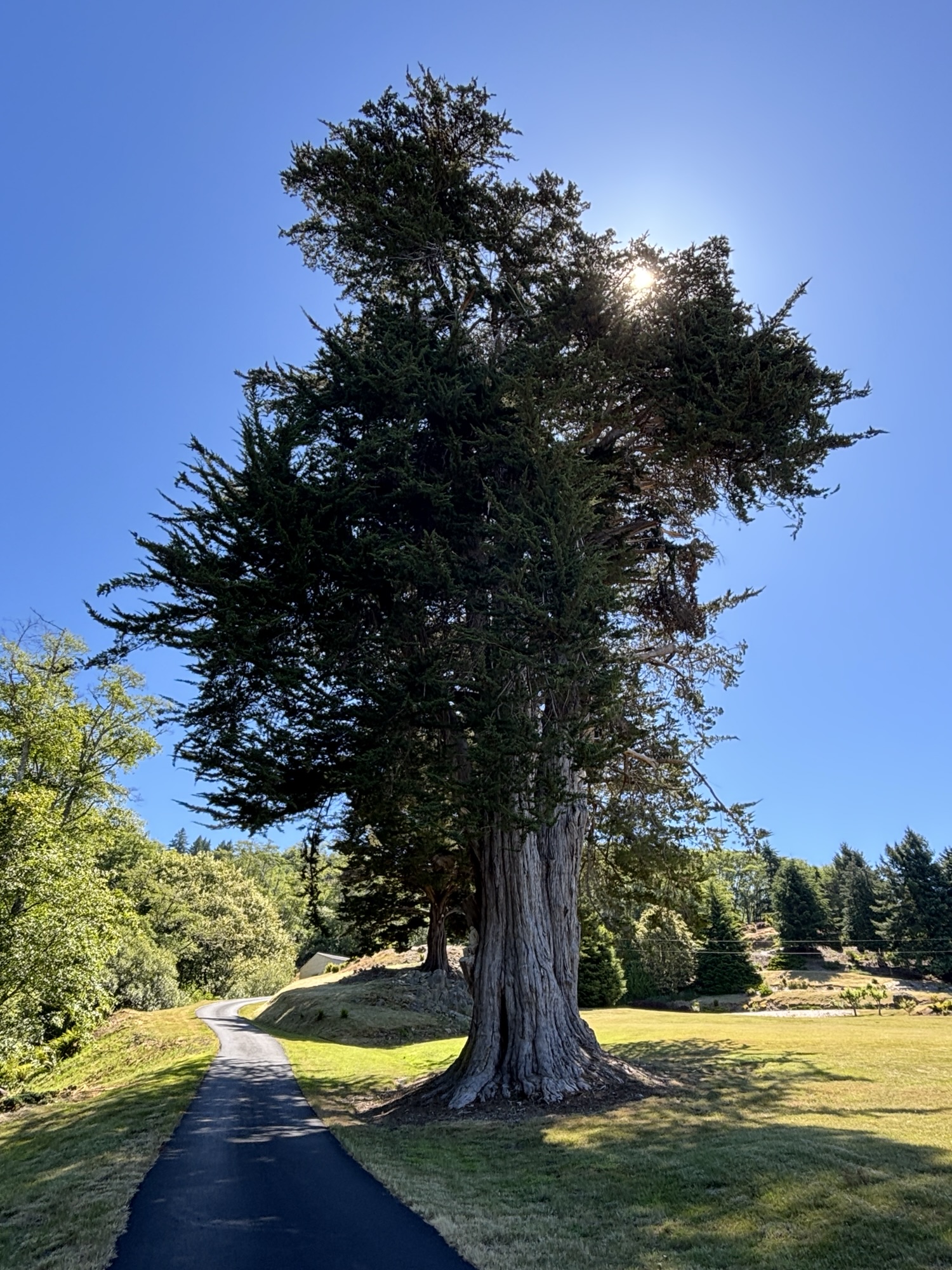
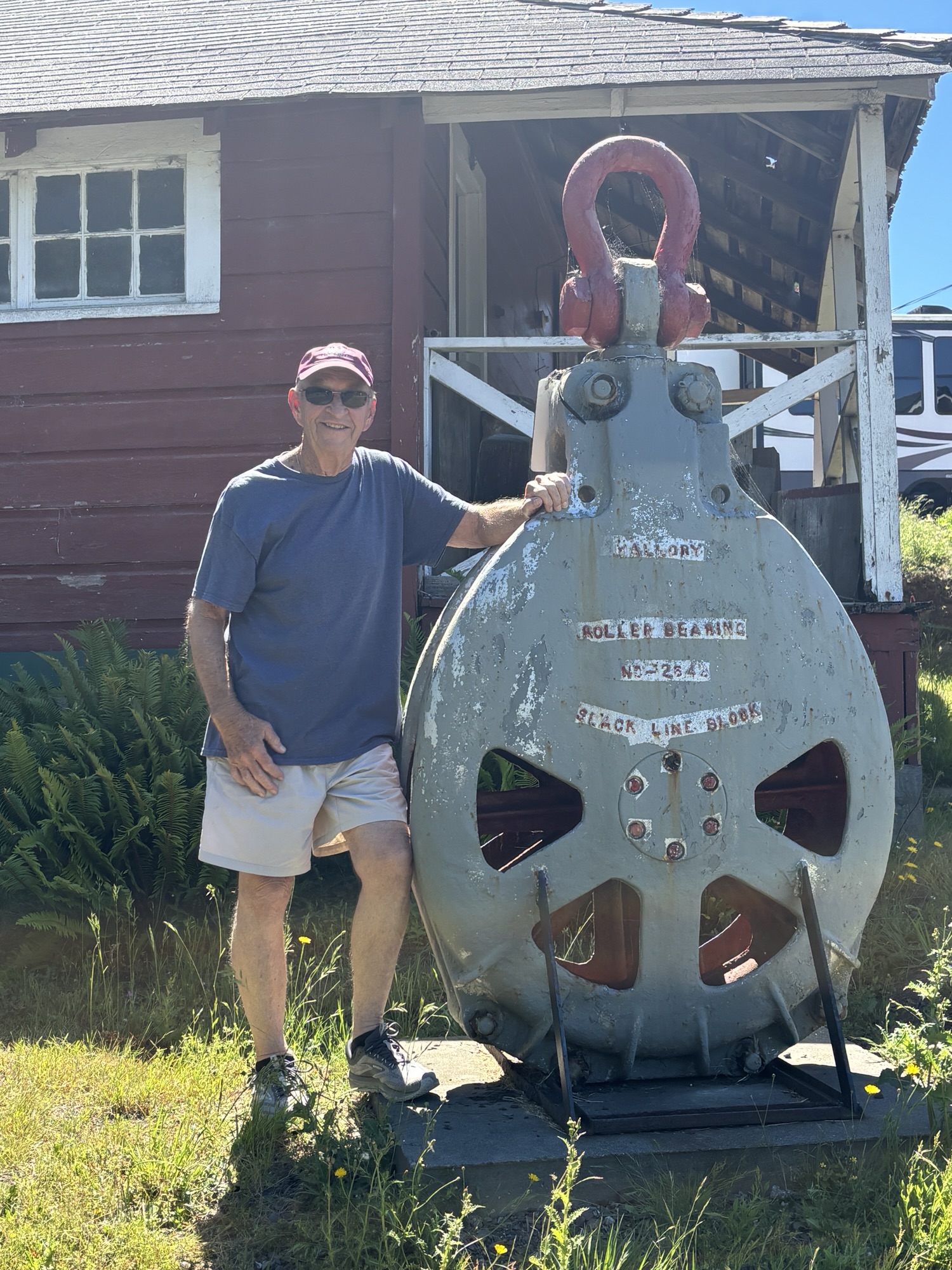
We headed out for the first item on the list which is Oregon’s largest Monterey Cyprus tree located at the Chetco Valley Historical Society Museum. The museum was closed but the grounds were open. Having been planted in the 1850’s, the tree was spectacular. There was also a very interesting antique block that was the largest I have ever seen. Not sure what it was actually used for, but the line or cable that it functioned also must have been huge.


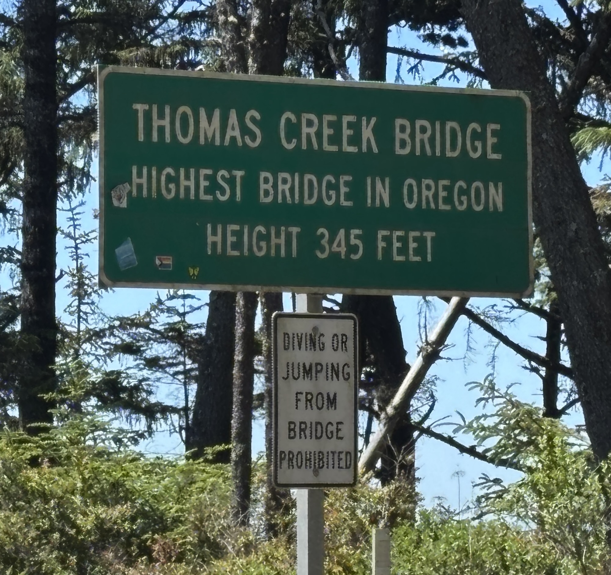
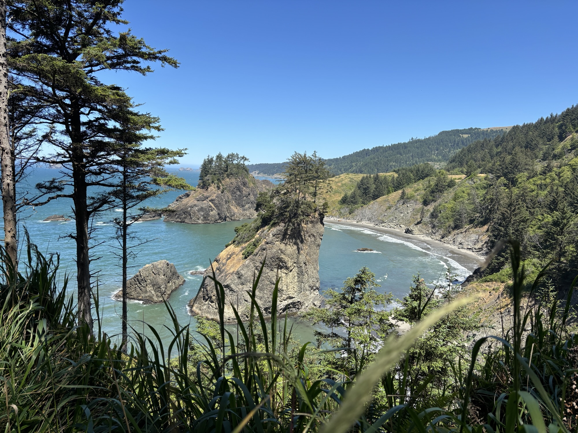
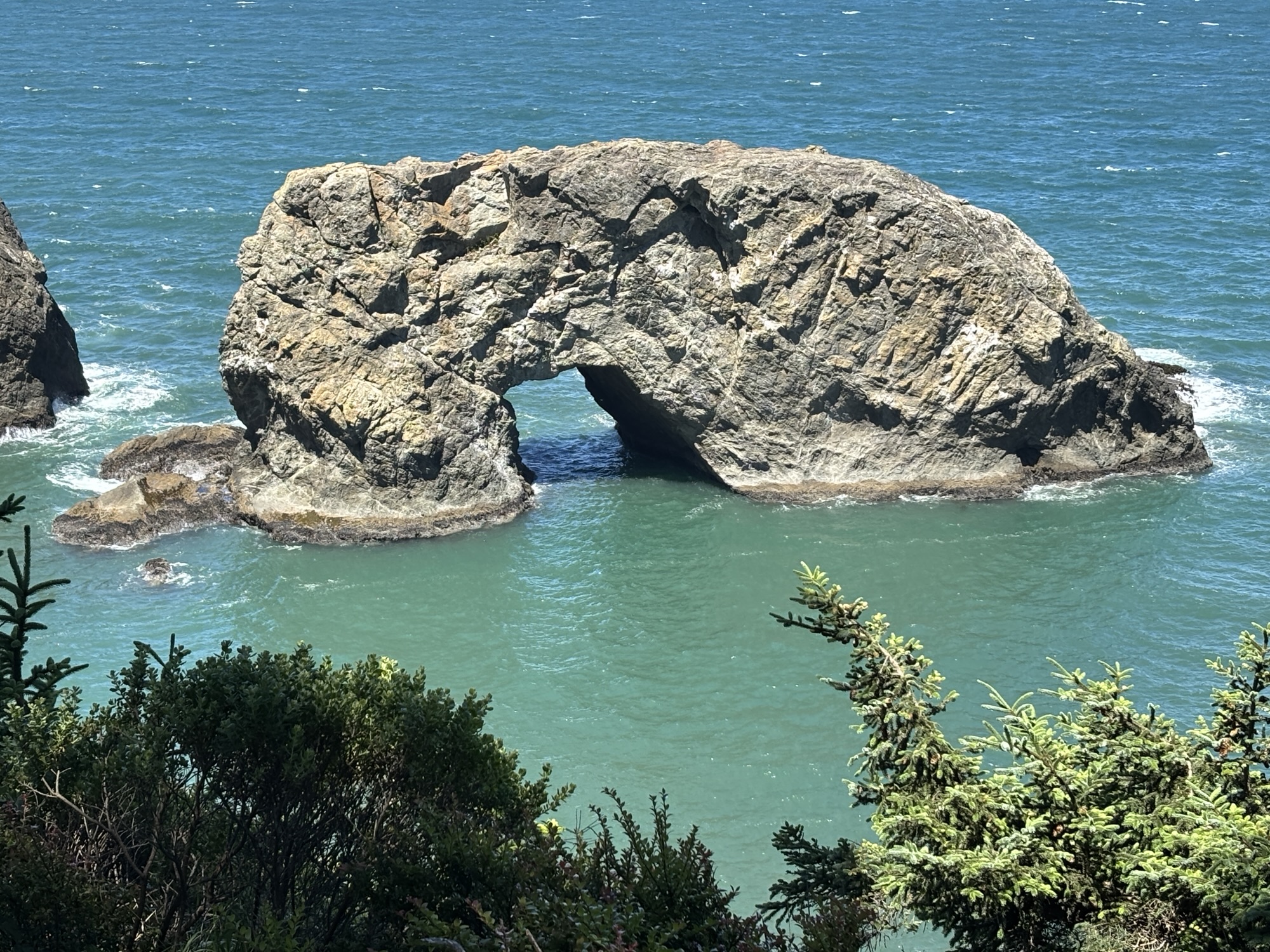
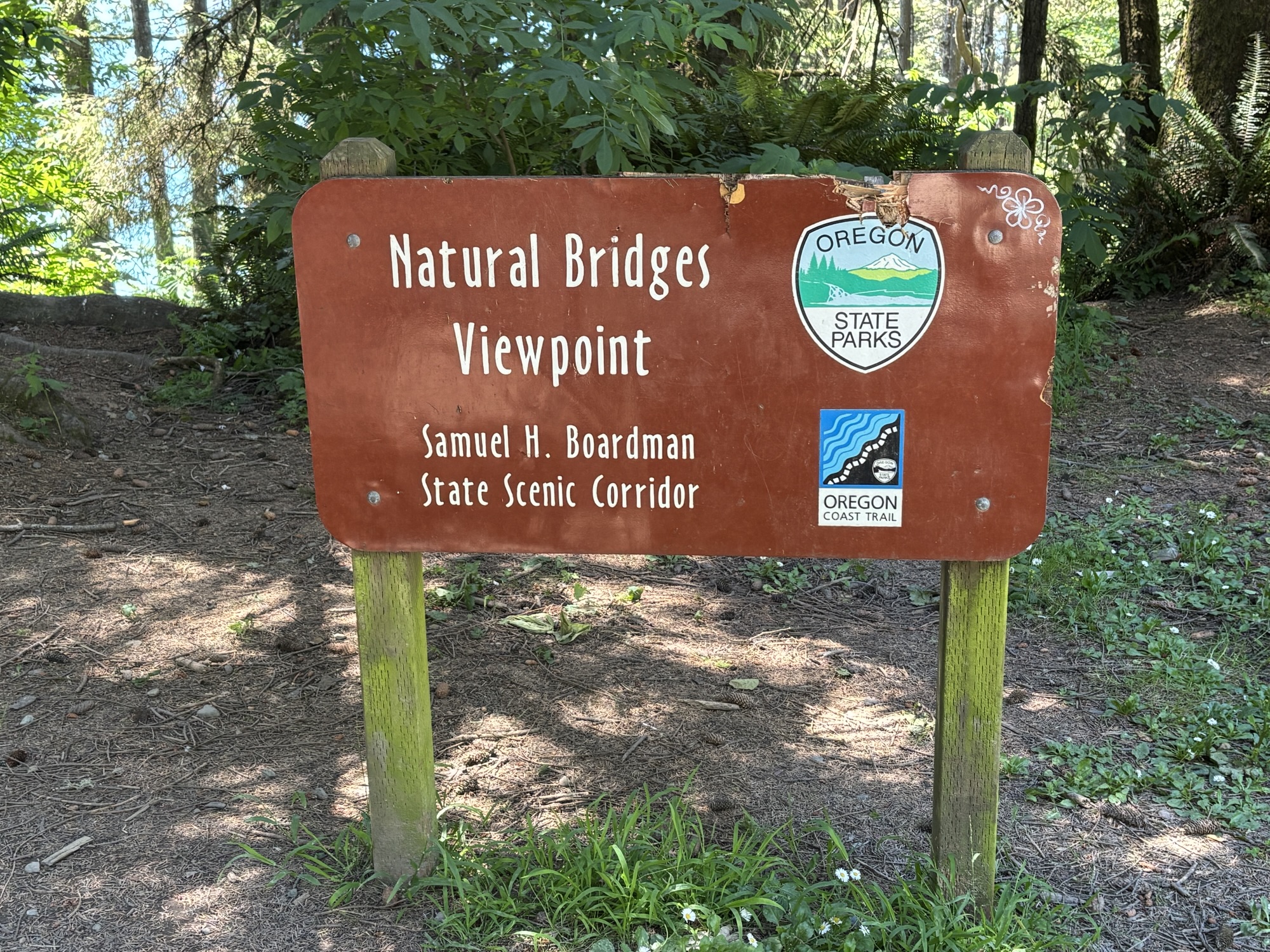
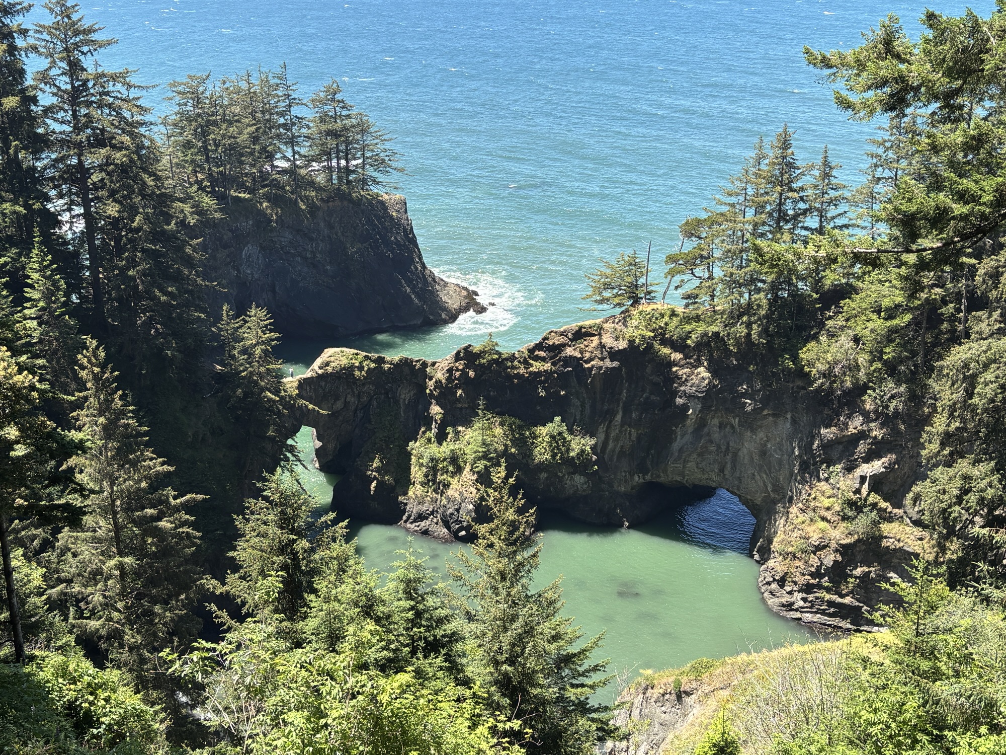
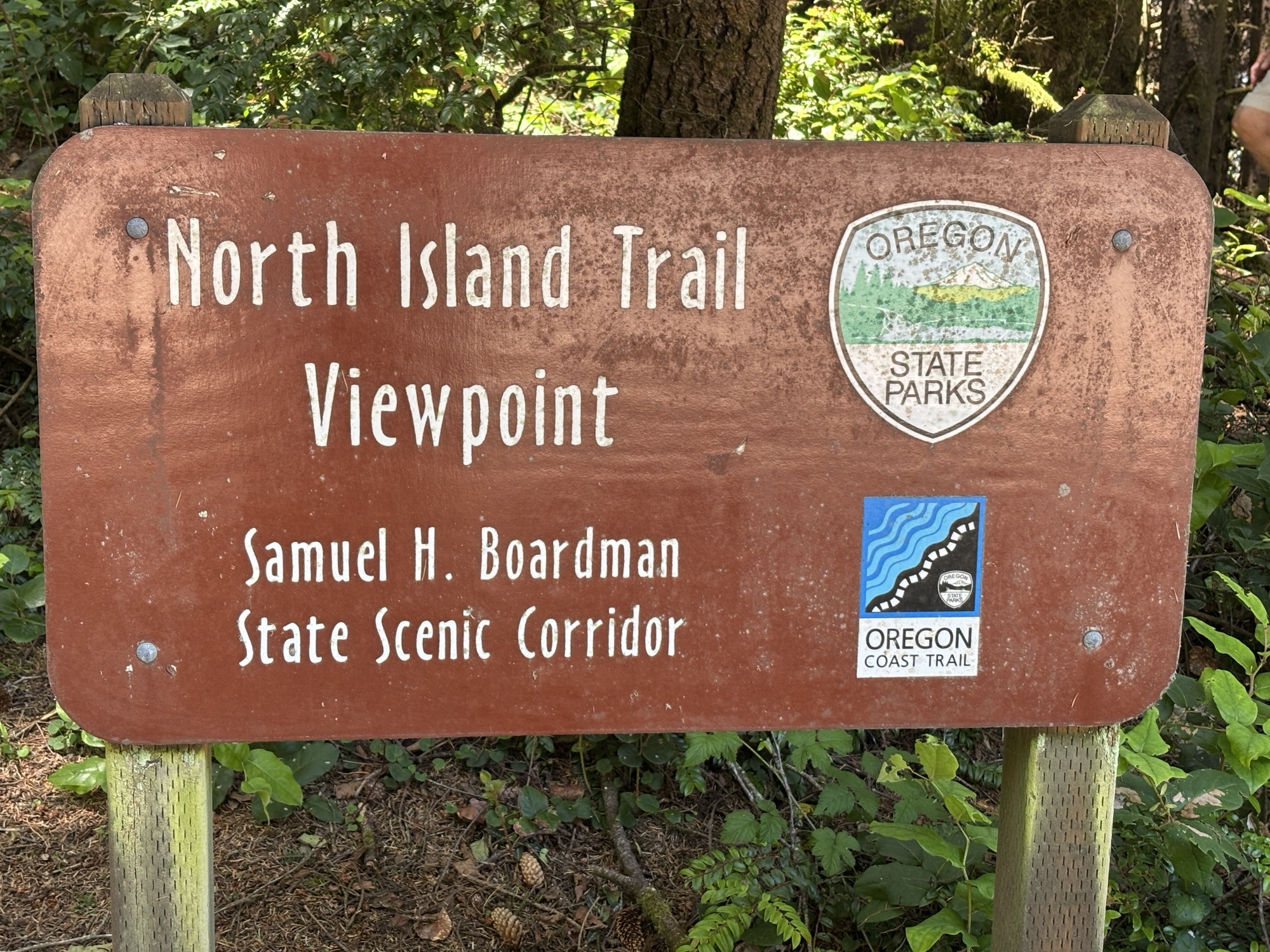
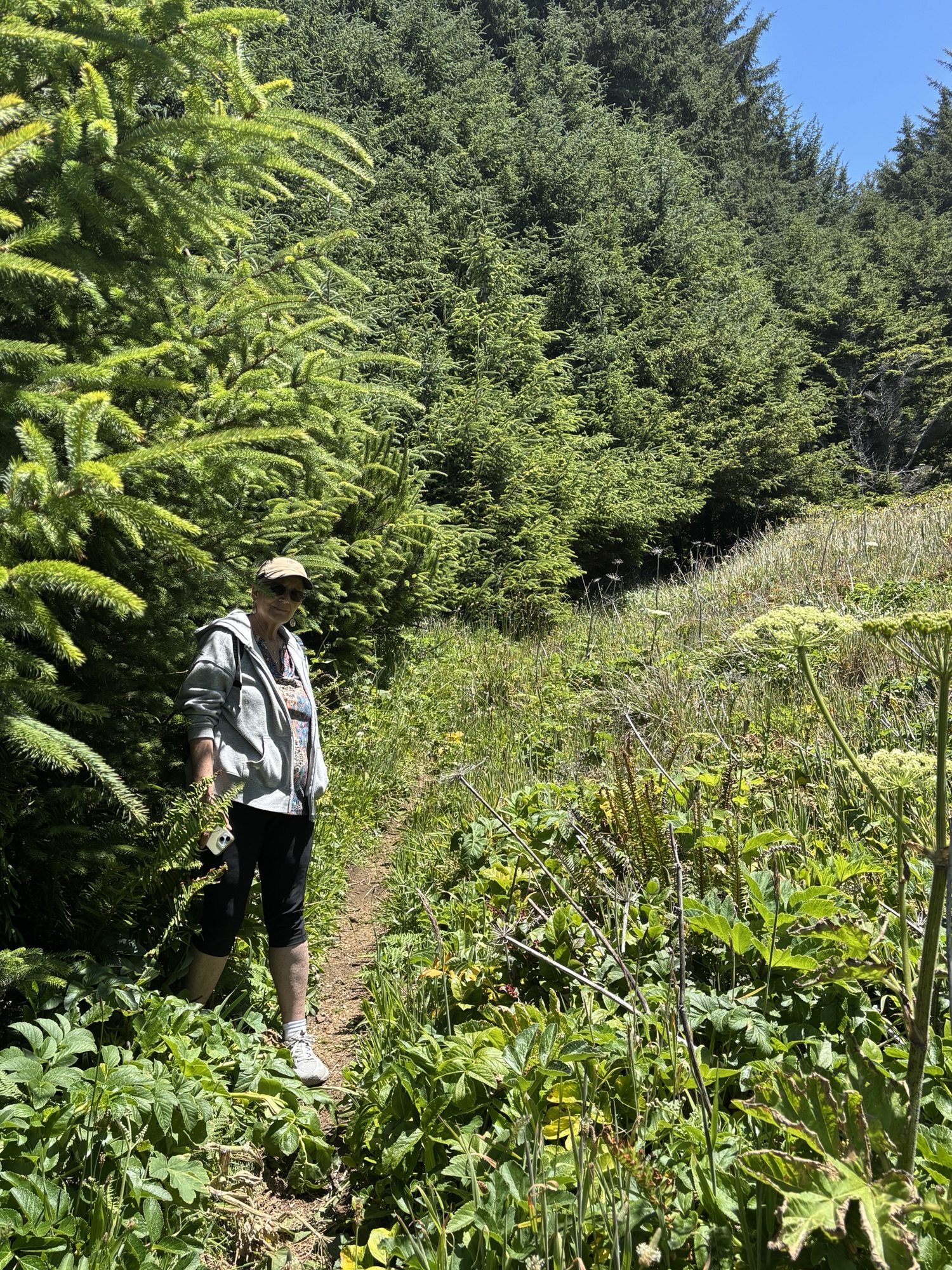
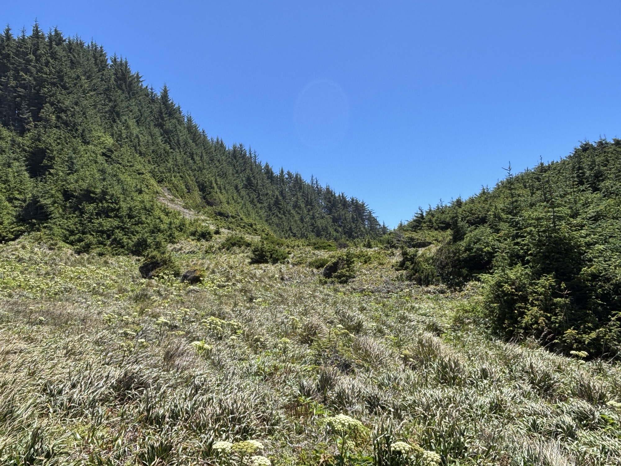
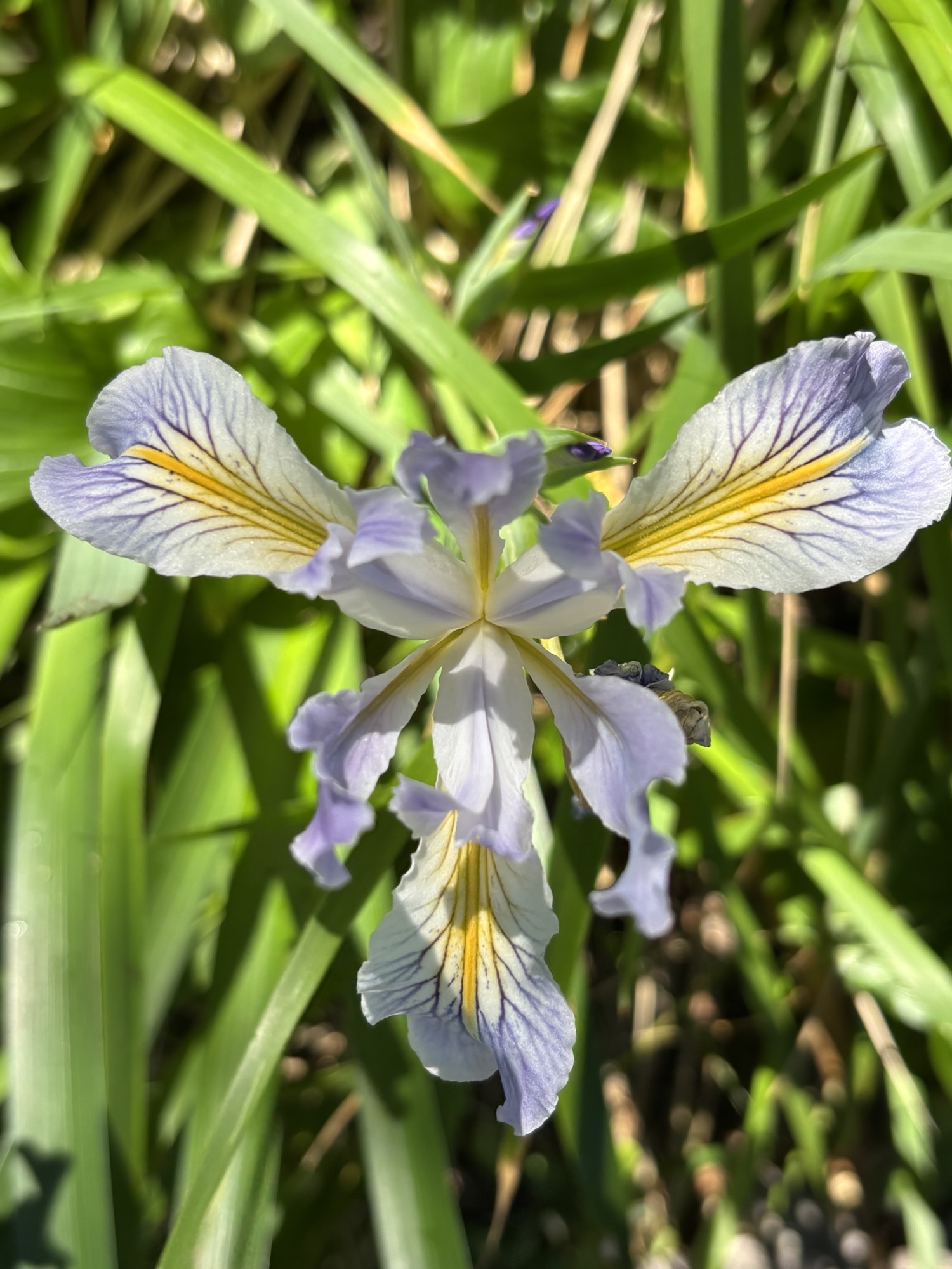
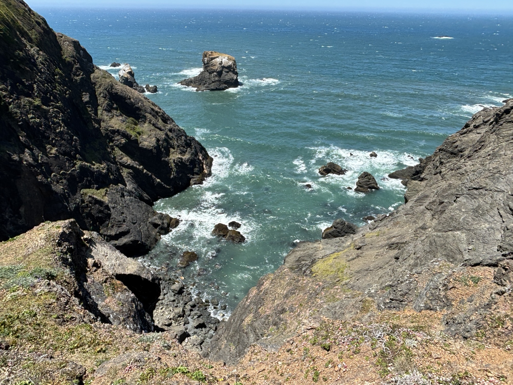
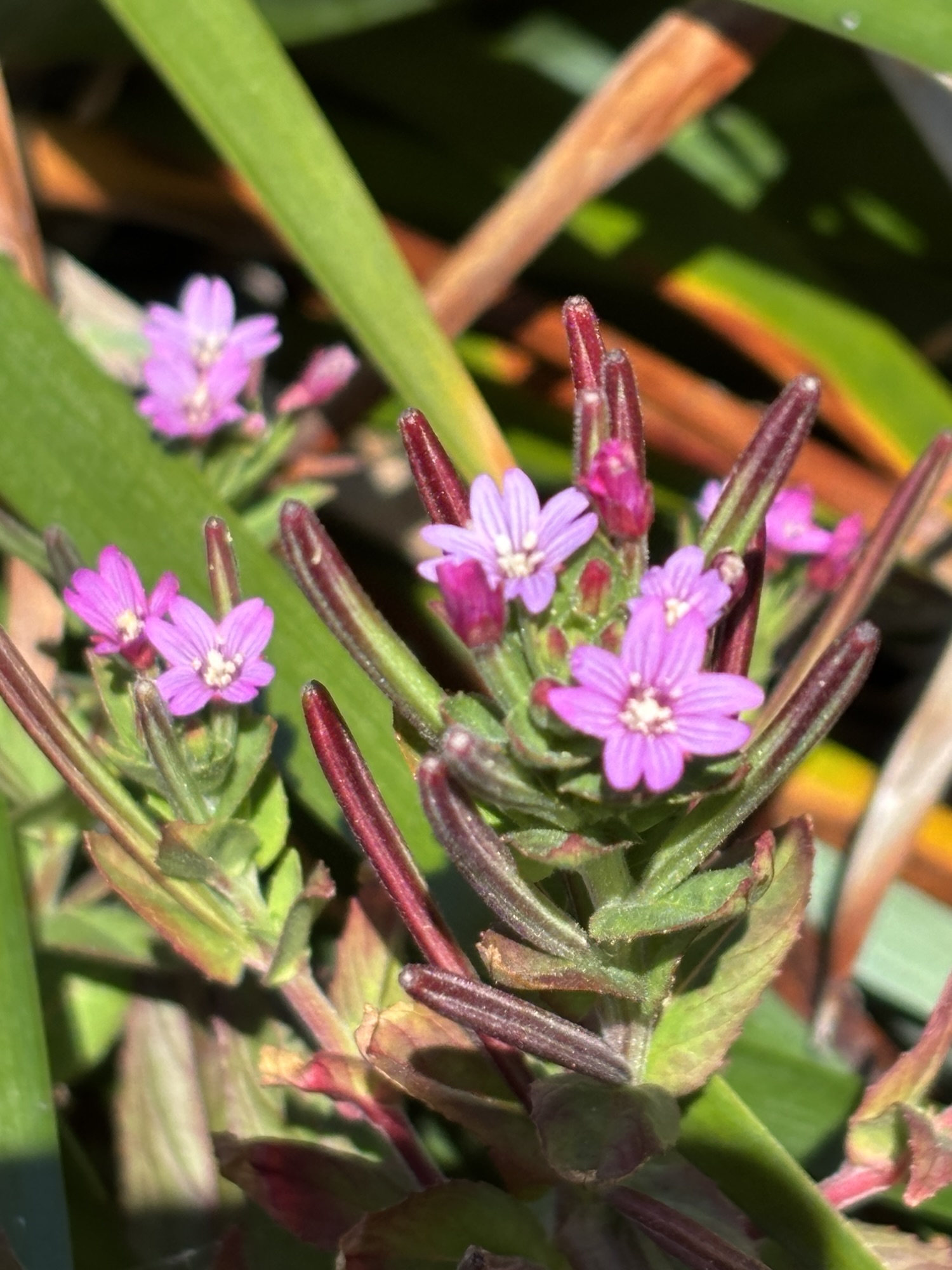
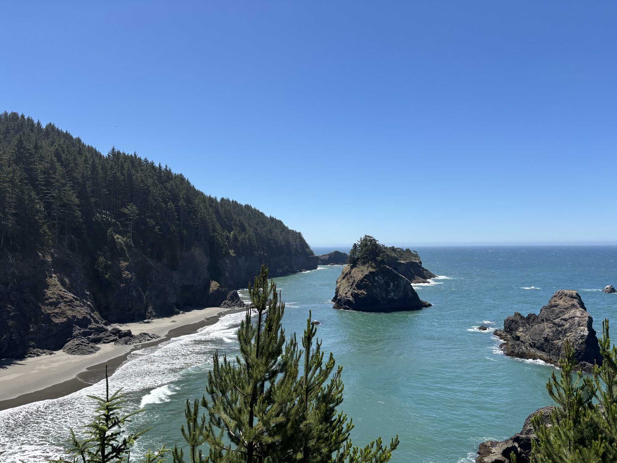
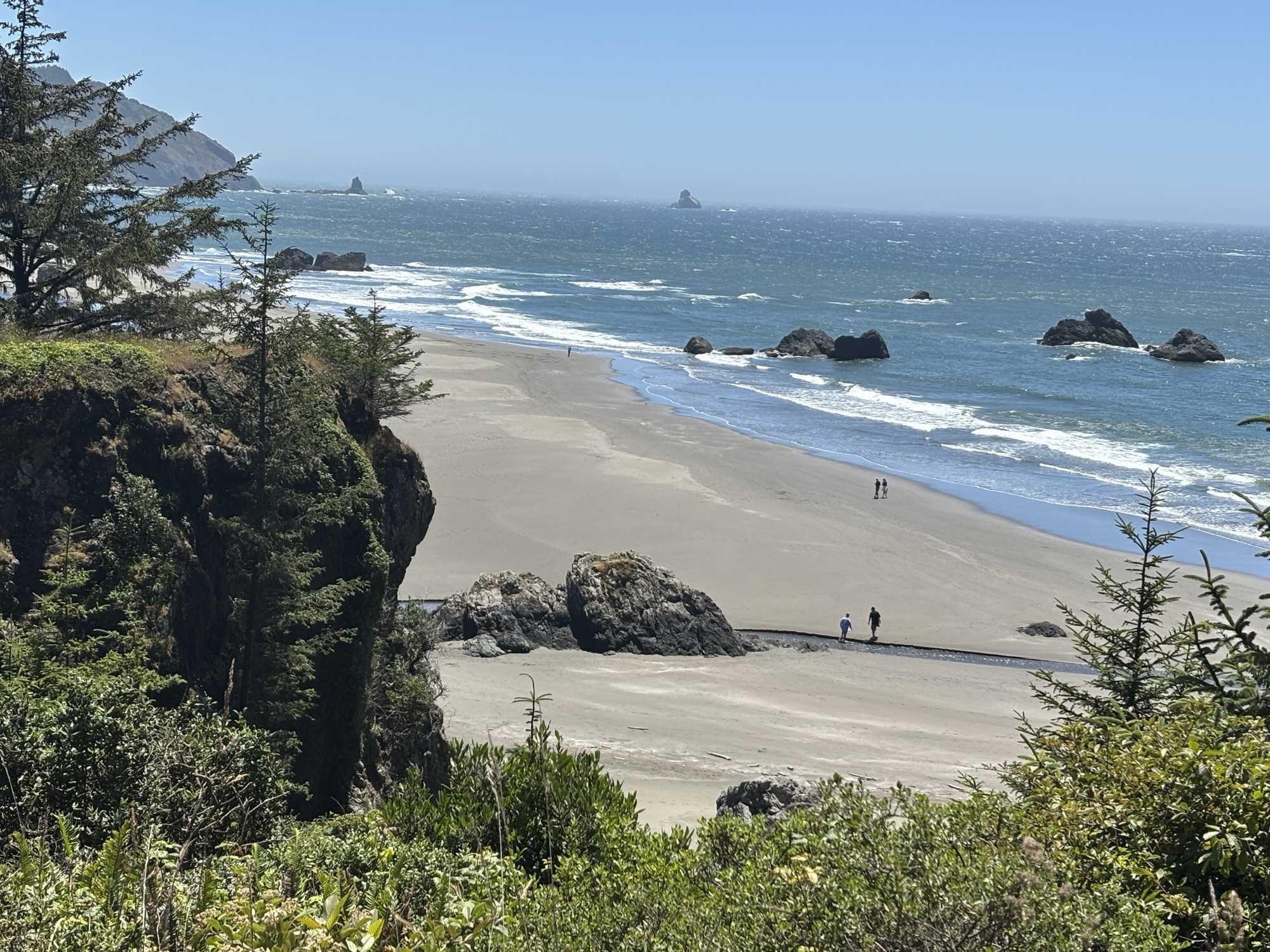
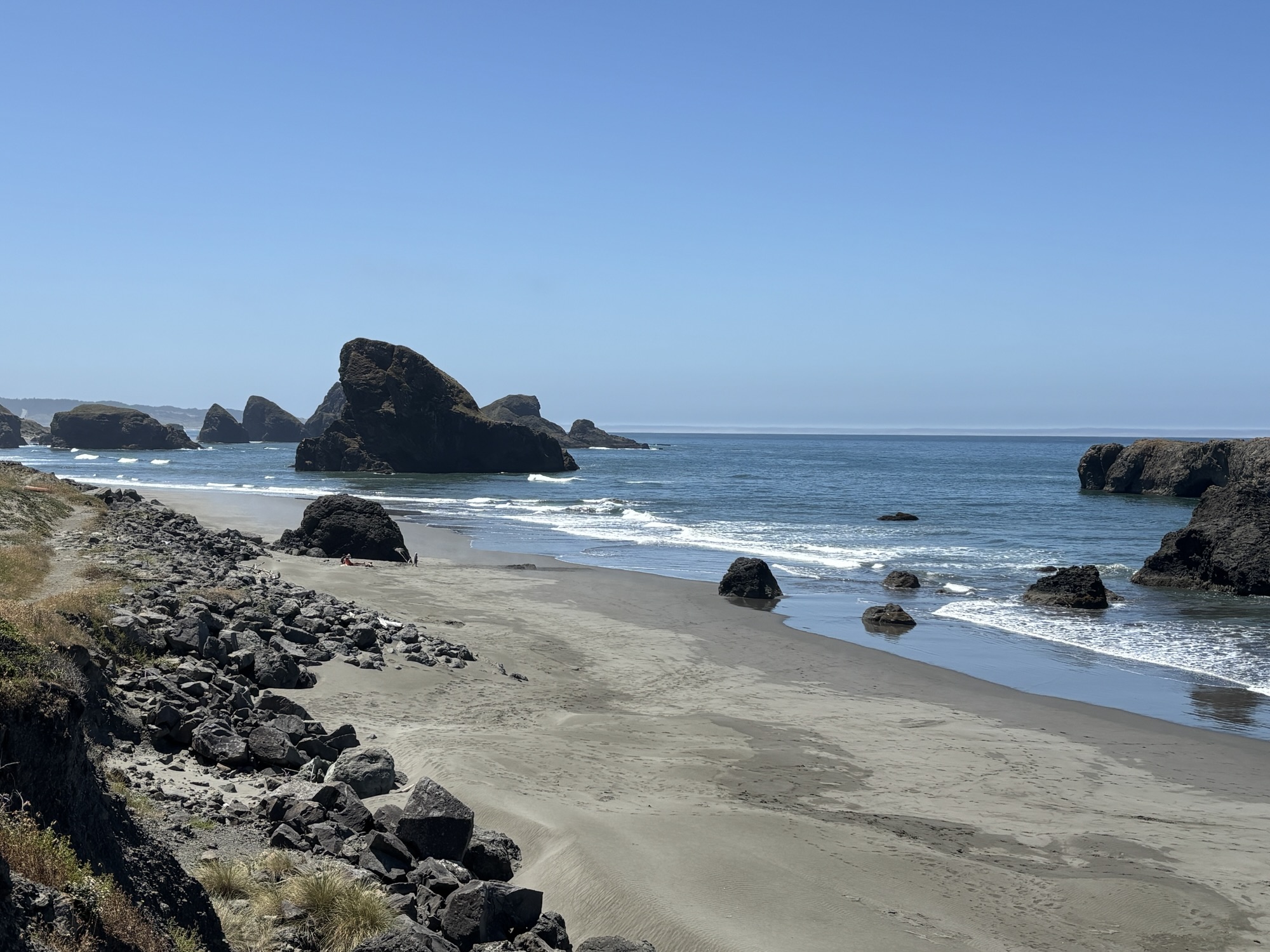
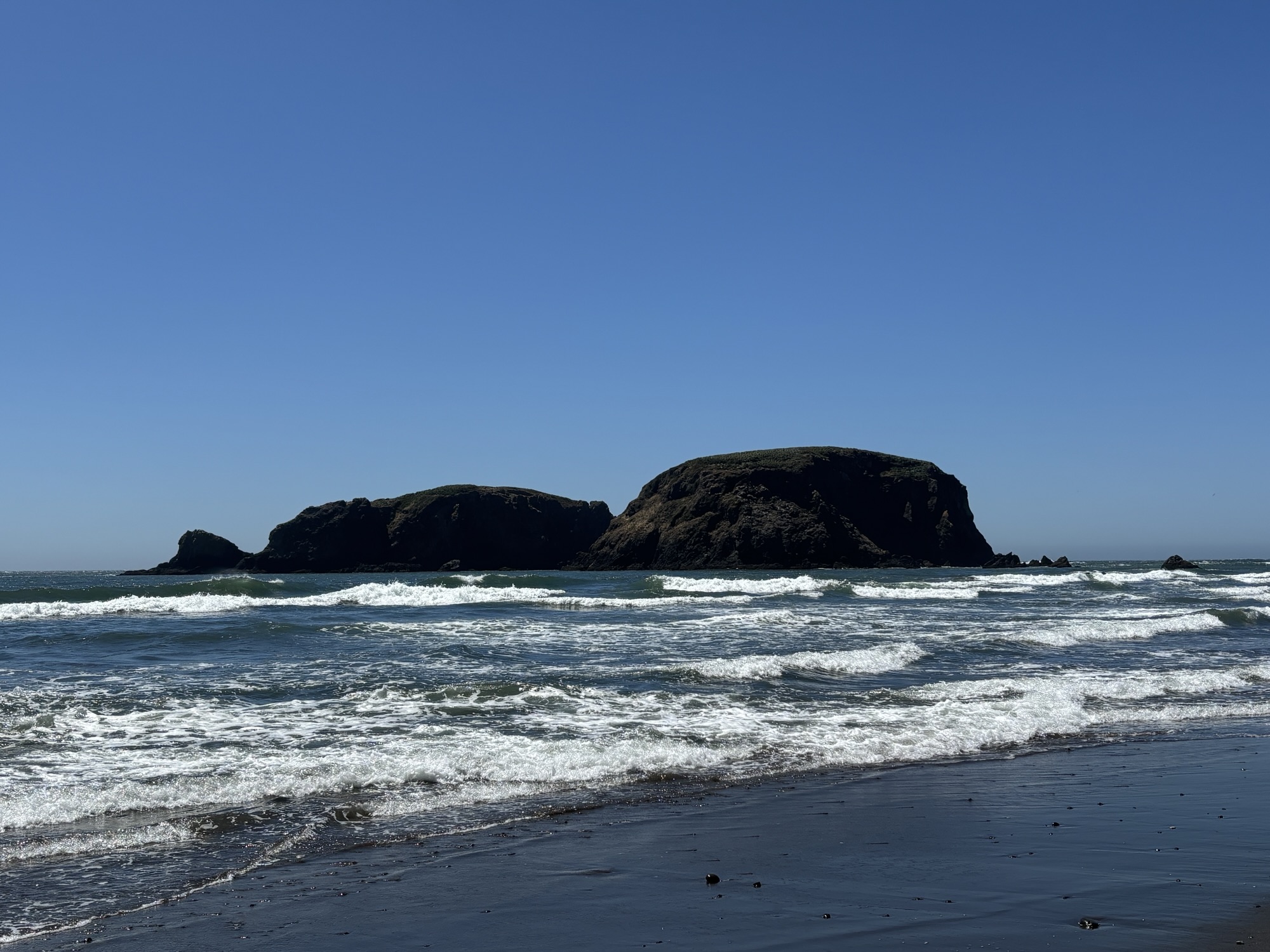
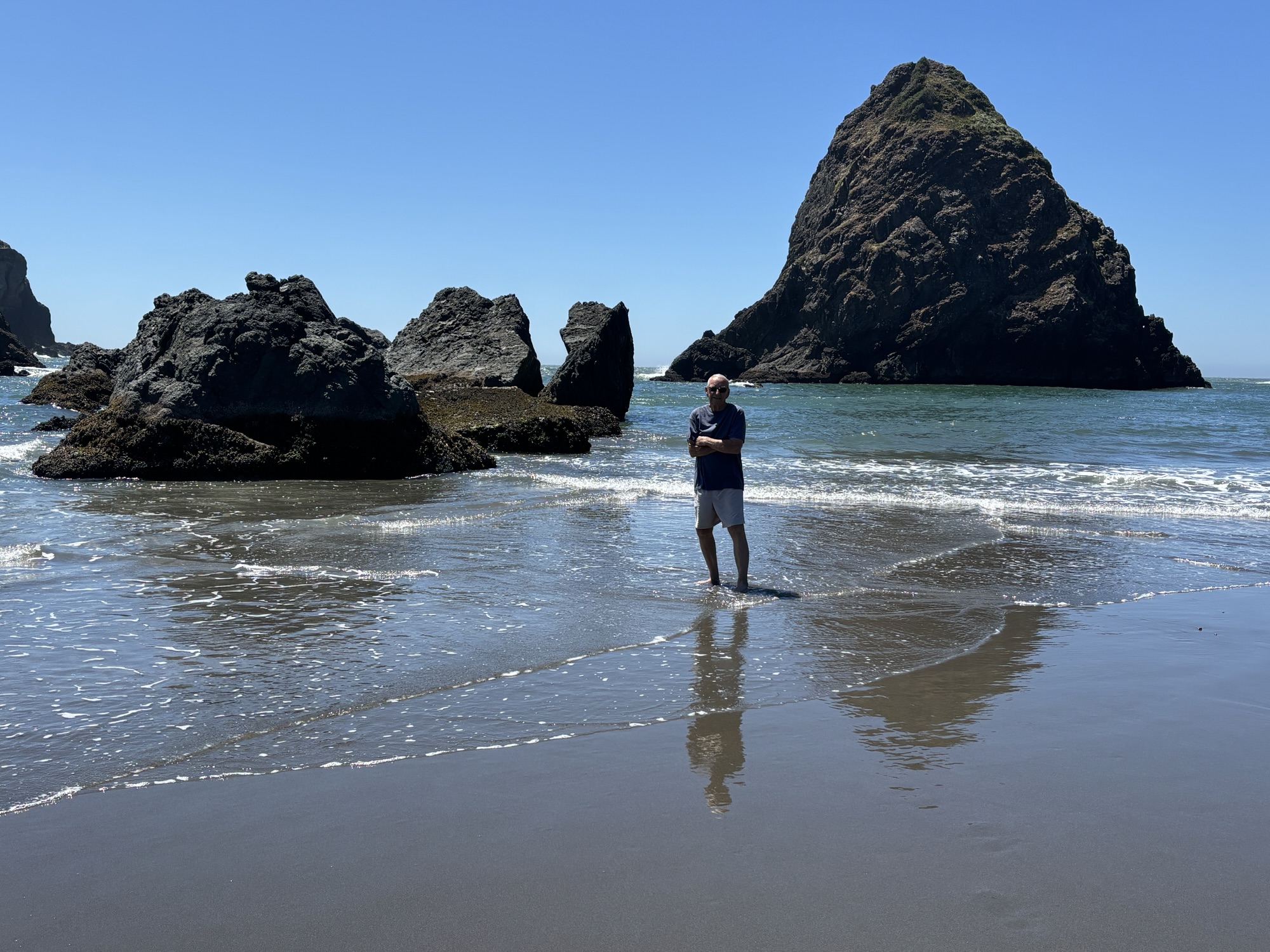
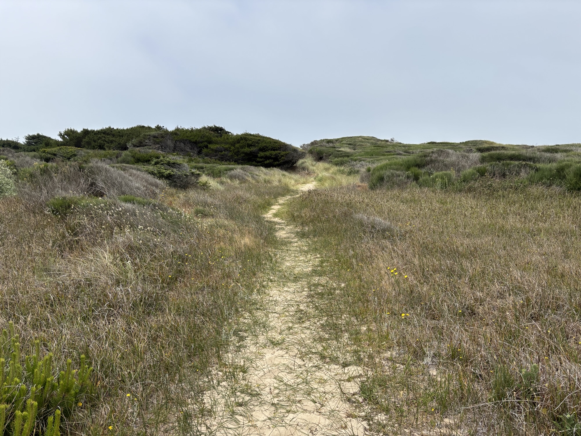
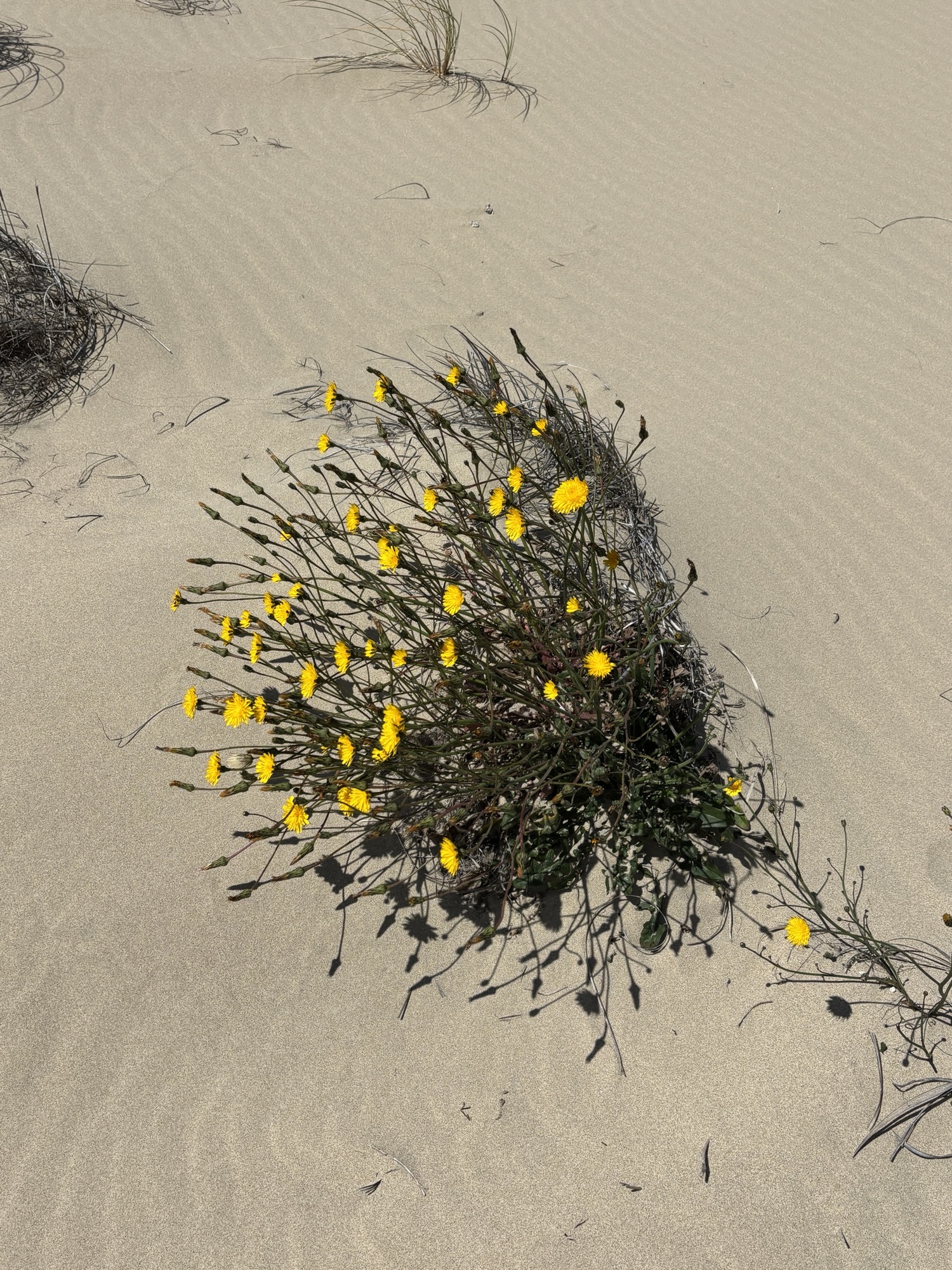
We continued up Hwy 101 on the Samuel H. Boardman Scenic Corridor. First, we crossed the Thomas Creek Bridge, the highest bridge in Oregon. This section of Hwy 101 is a 12 mile stretch that hugs the coastline with 12 scenic turnouts. We picked 4 of the most interesting, including the Arch Rock and Natural Bridge Scenic Overlooks, the North Island Trail and Whalehead Beach. Each one offered different vistas and/or hikes. And one hike was through a dense field of shrubs and flowers, and one was a long stroll on a long beach. There were other vistas turnouts and places to view the coast. Great way to spend the day ending with another beautiful sunset. And that was just the first stop.


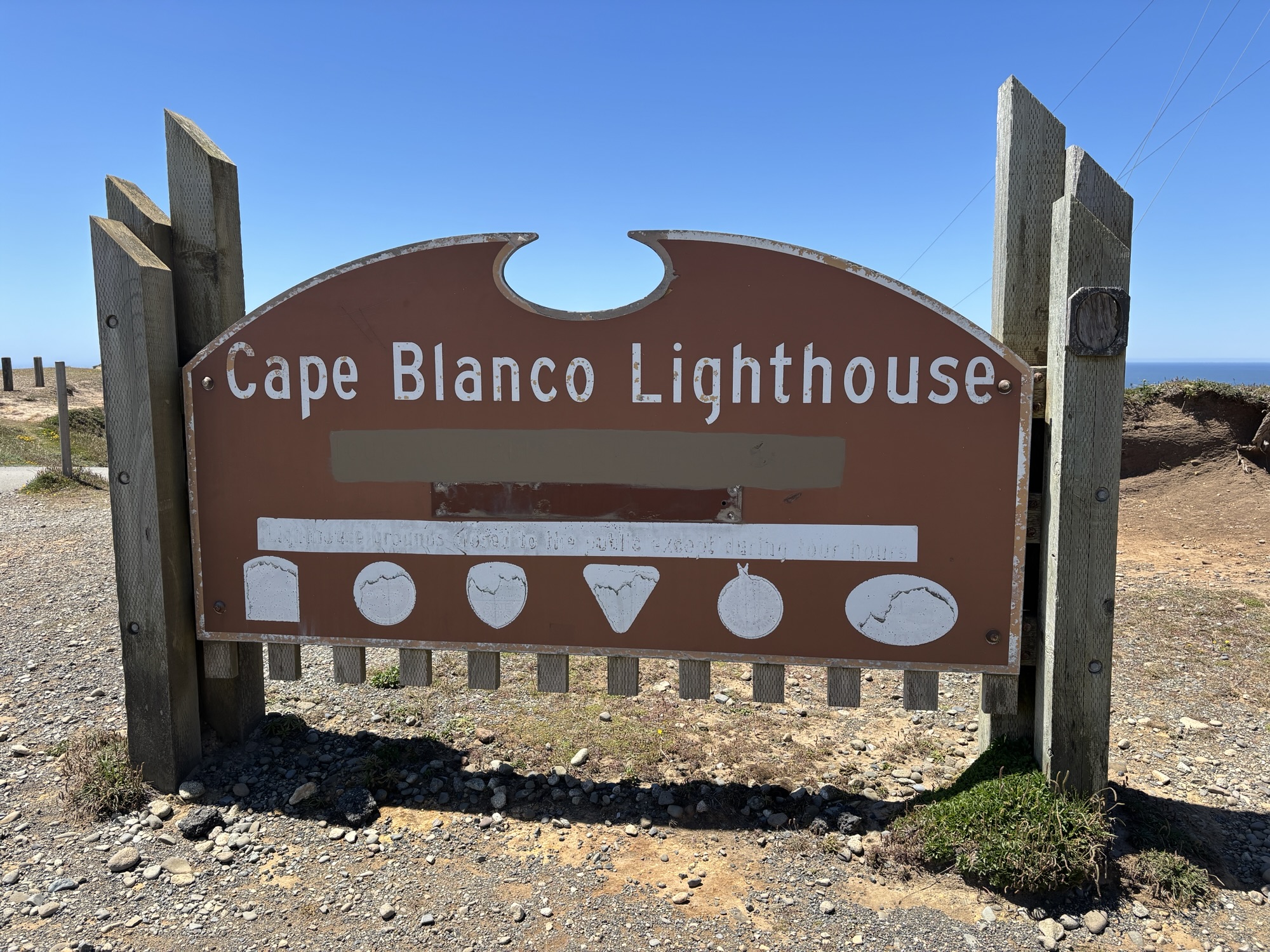
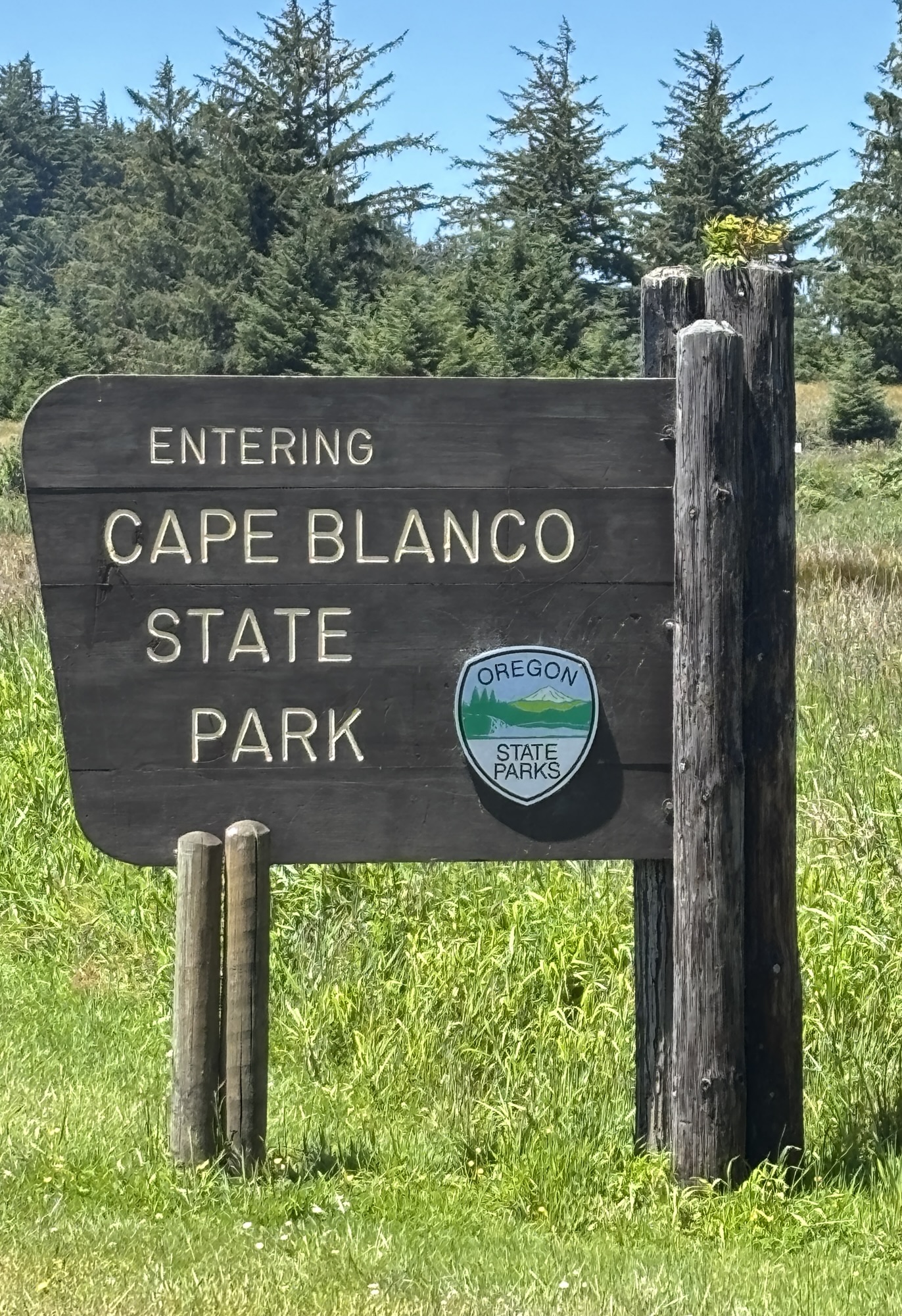
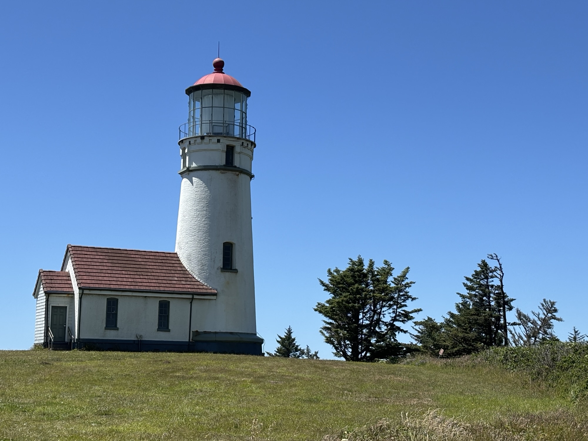
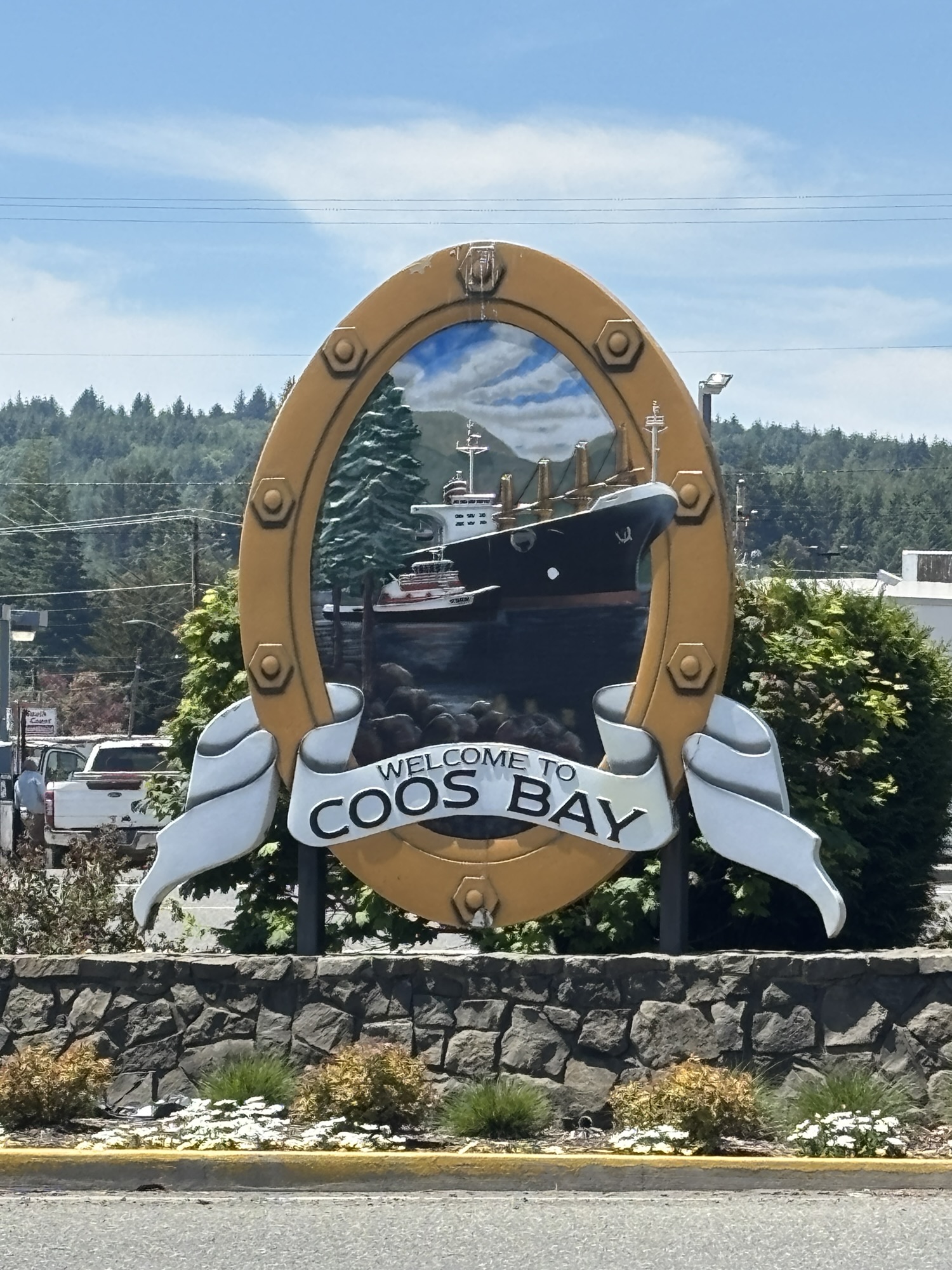
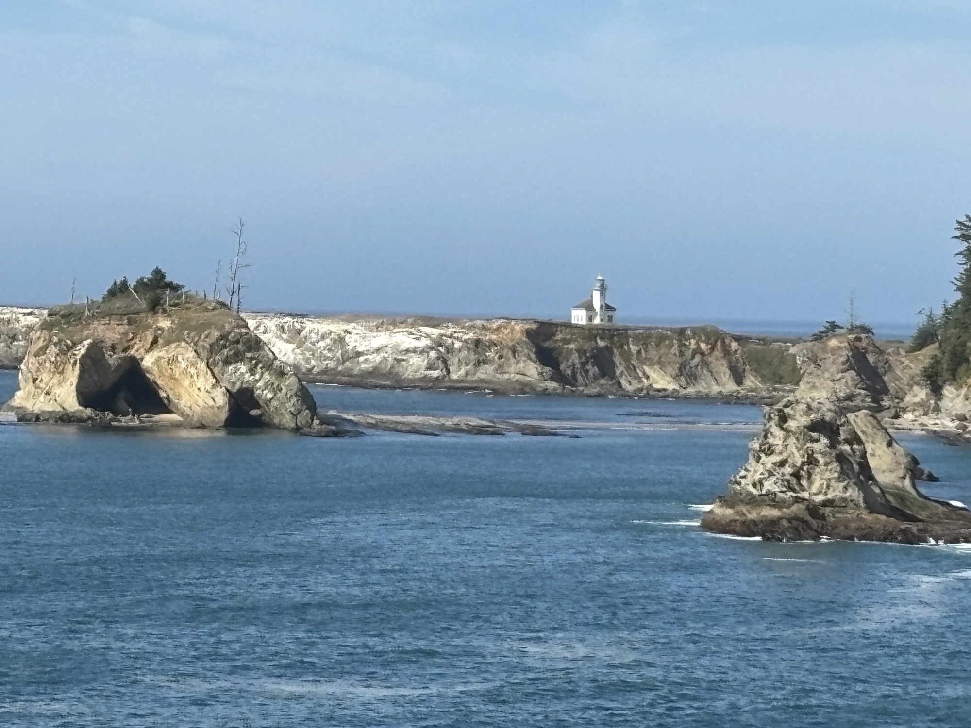
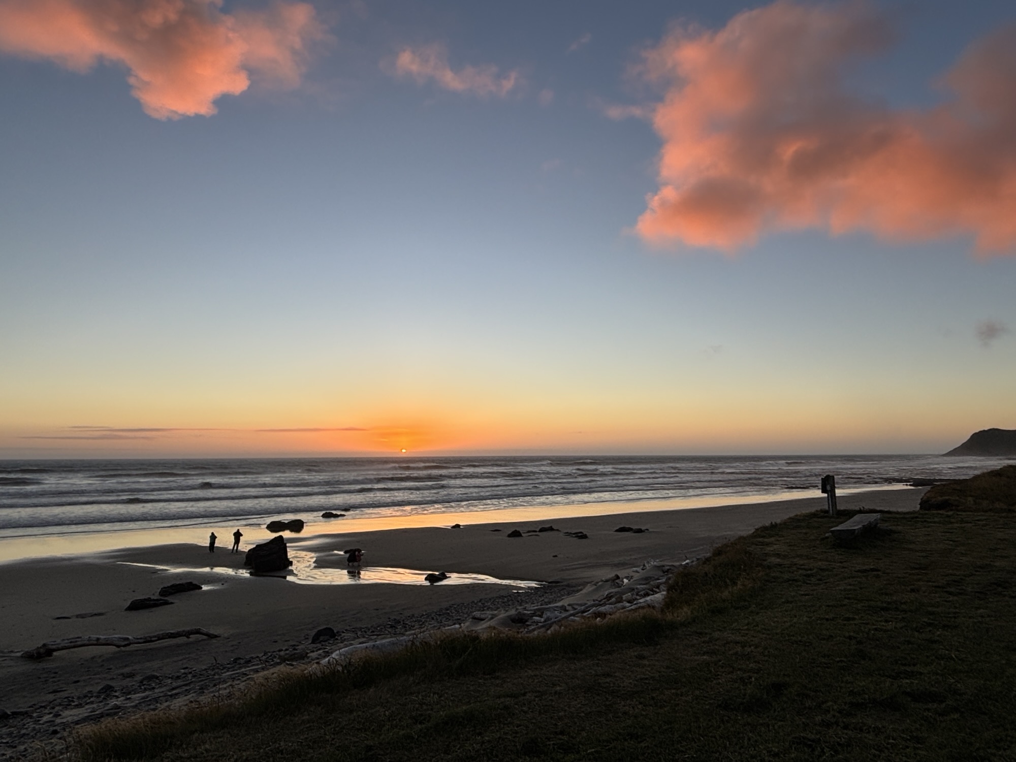
Next on the list was Coos Bay. It had been a tough decision between there and Bandon Beach as both were highly rated. But Coos Bay did not disappoint. On the way up we did stop at the Cape Blanco Lighthouse. We parked the RV and walked out to the point. Its claim to fame is not just the lighthouse but also, it’s the 2nd most western point of land in the Continental US. (Hint-the most western point comes later!) The walk was a nice break and then we were on to Coos Bay. After a nice dinner out and a short walk out to the beach, we were back to watch the sunset again!
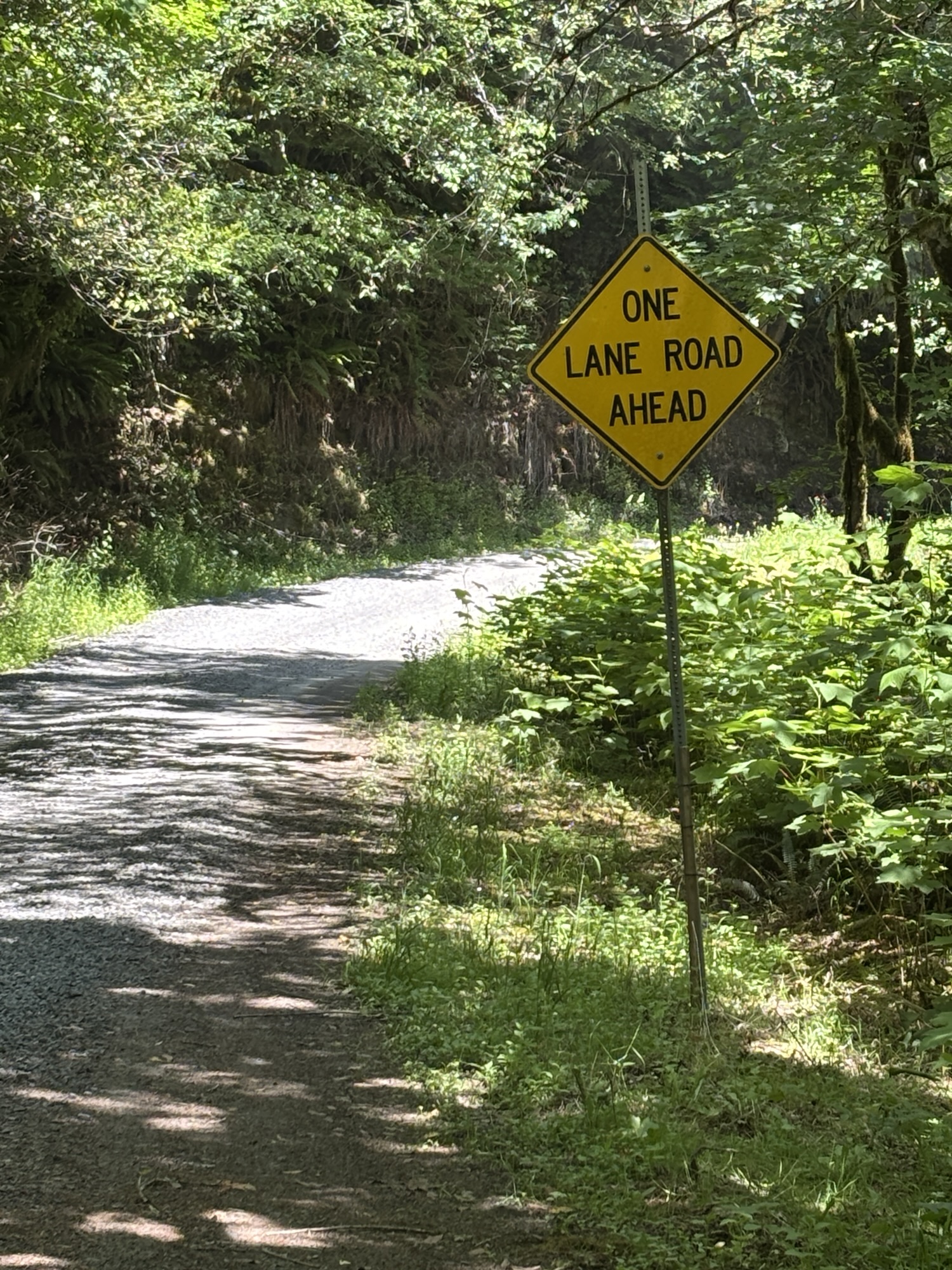
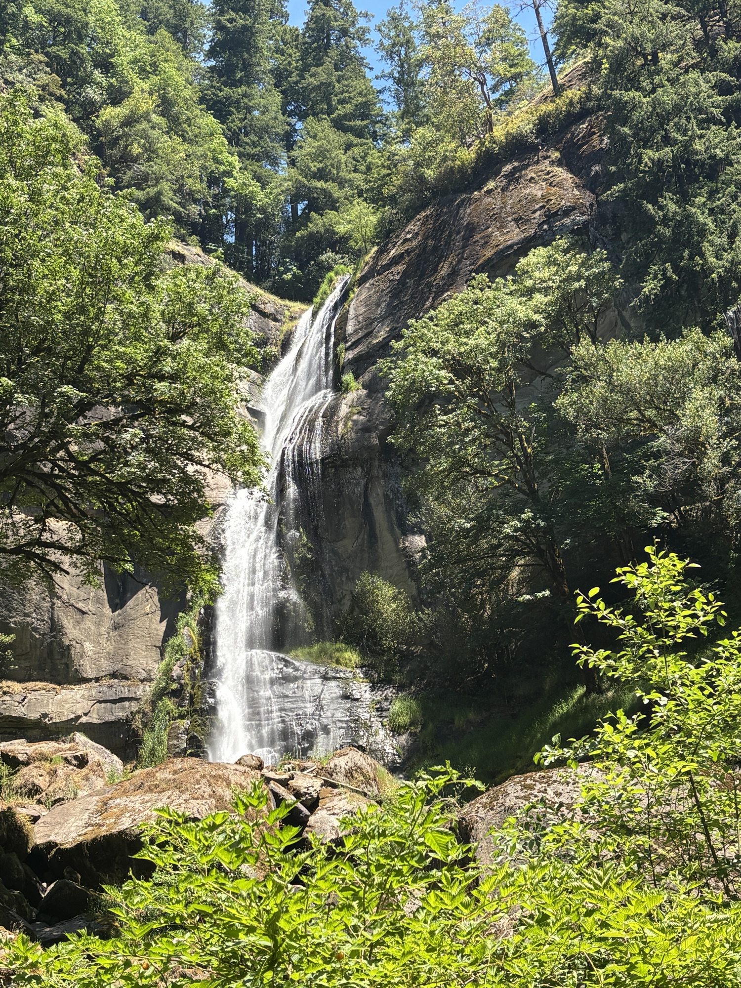
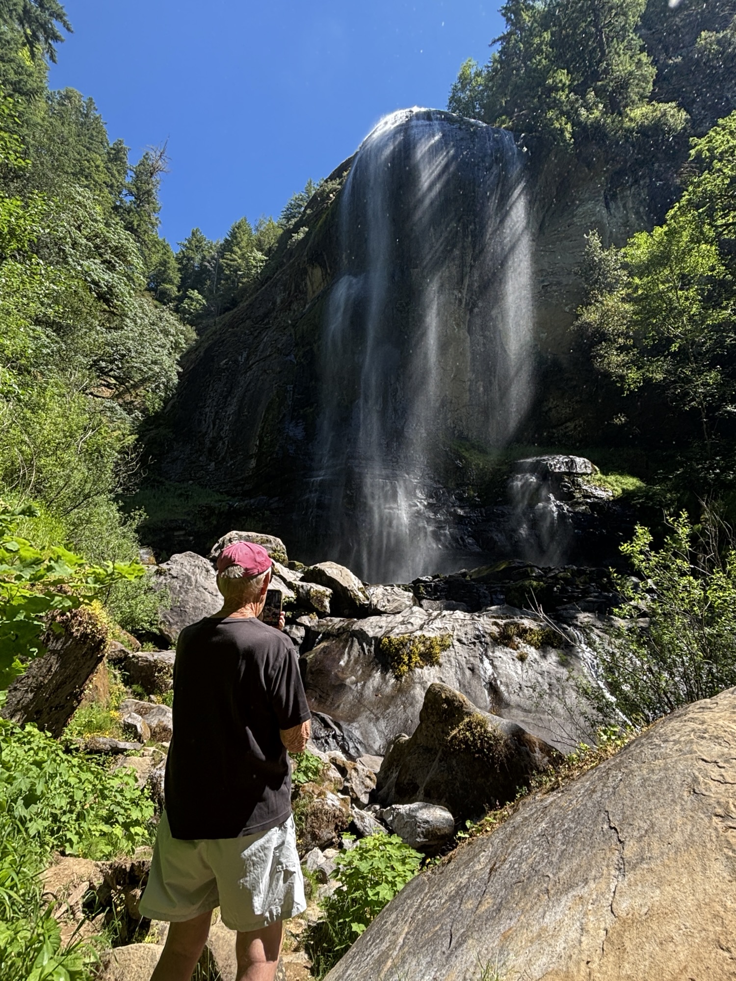
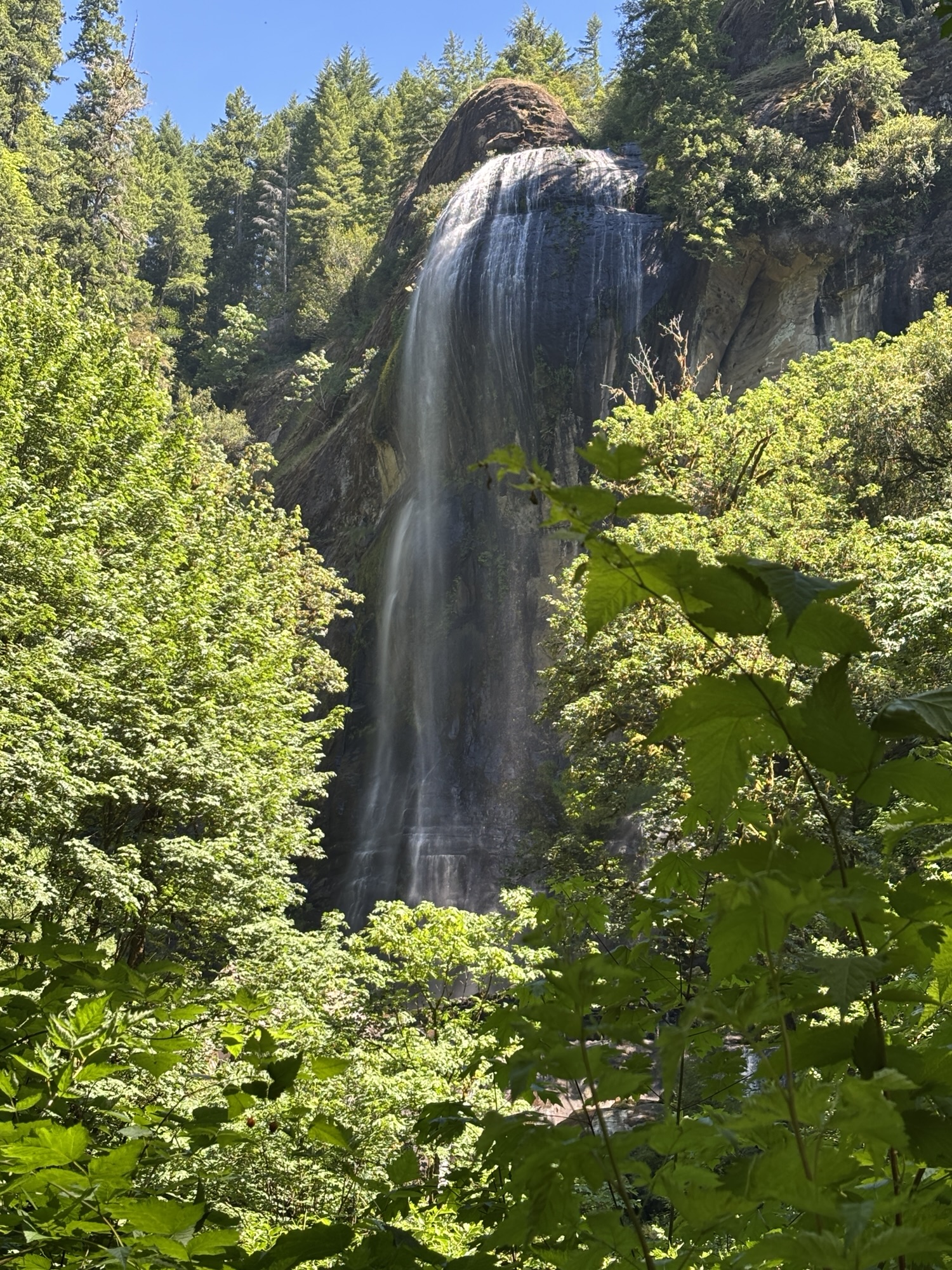
The next morning, we were up early to go waterfall hunting. The drive out was definitely Jeep country with about 6 miles of rough dirt road. We were hunting Silver and Golden Falls. The walking path was not too bad except for numerous areas of rocky passages. The first was Silver Falls which is a very high waterfall. A hike up to the top was not clearly marked and looked kinda dangerous so we headed back the way we had come in. Then went to find Golden Falls. After a lot more rocky spots, we found it and were quite impressed. The trip was definitely worth the effort.
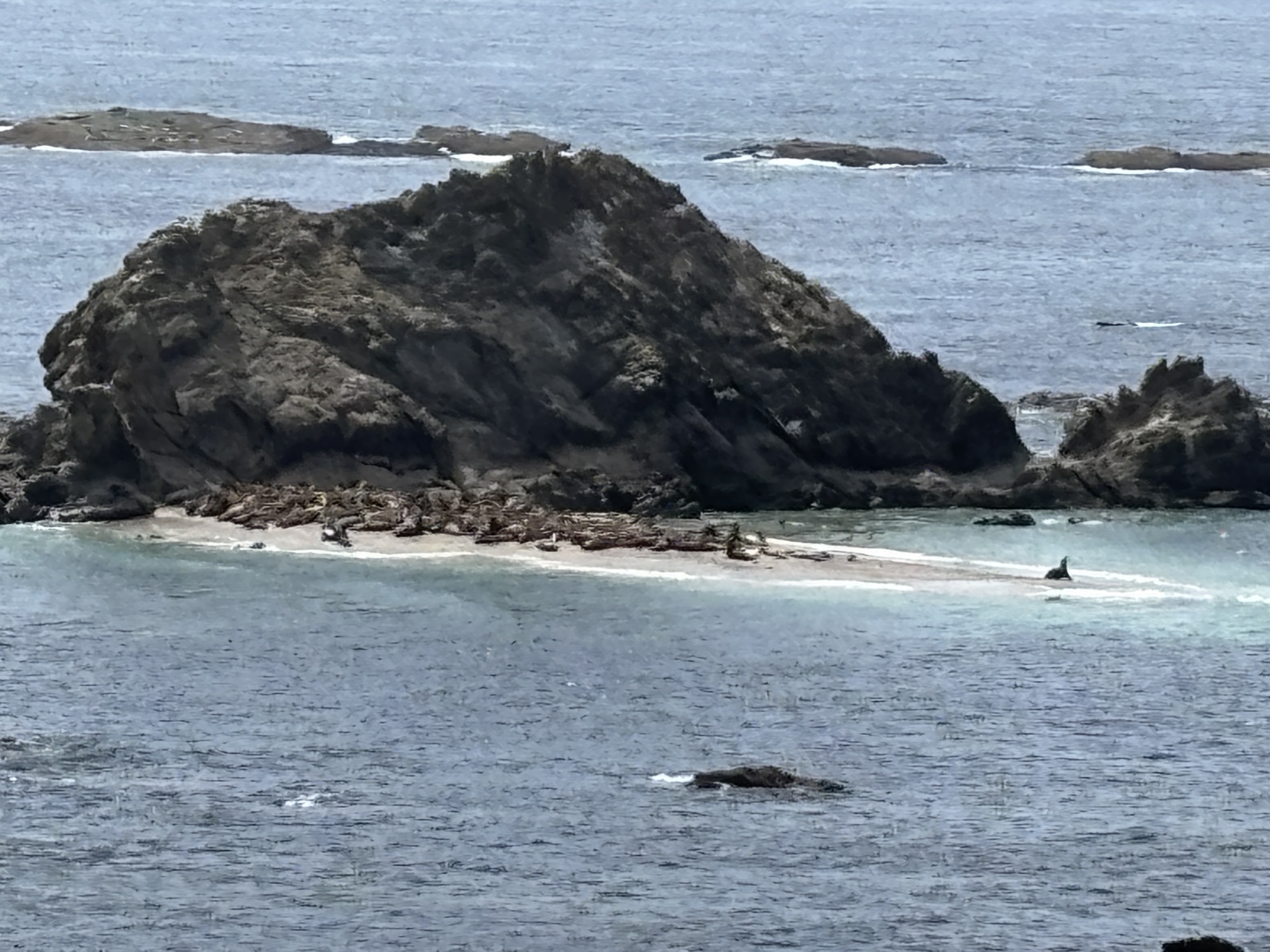
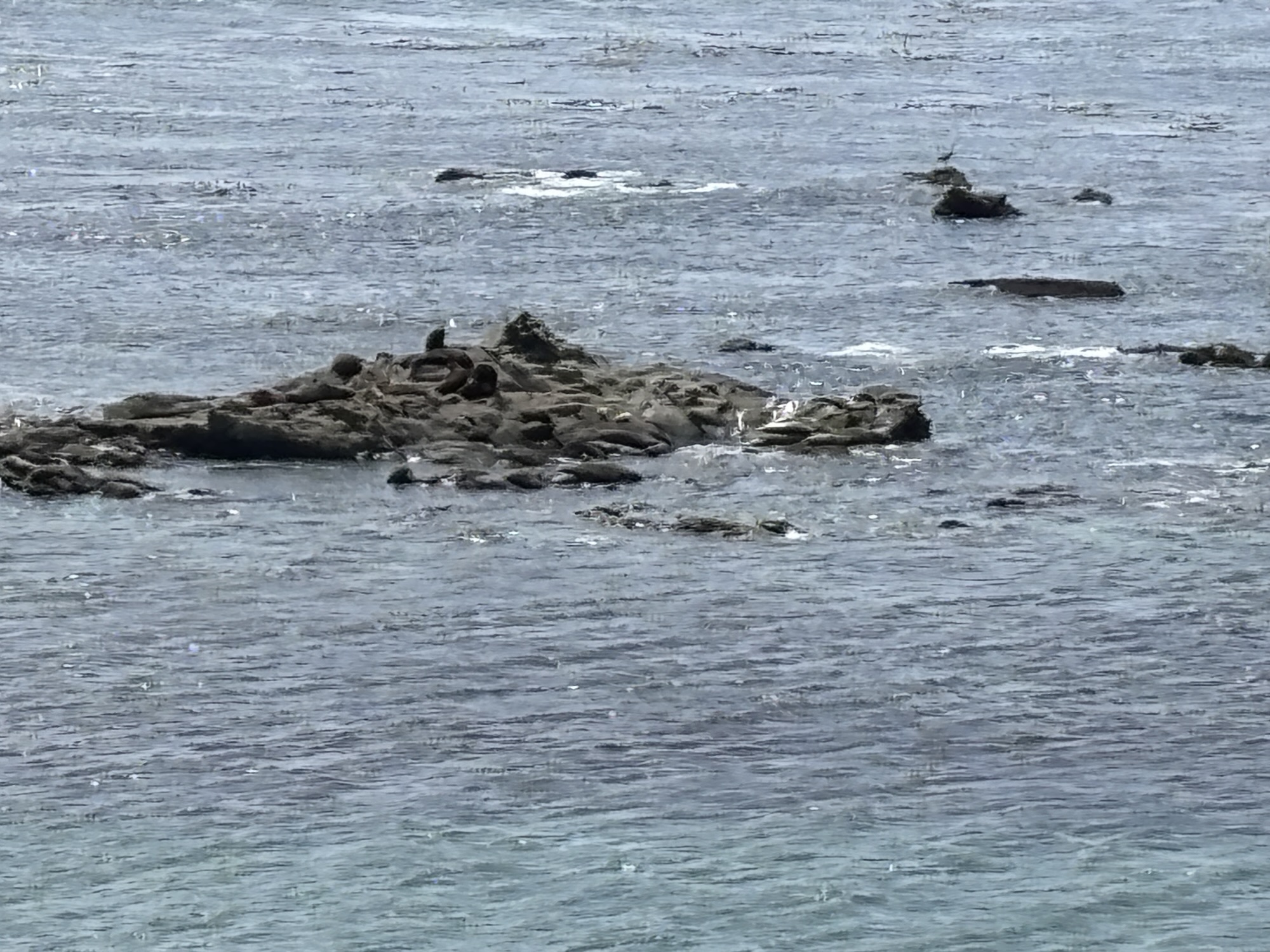
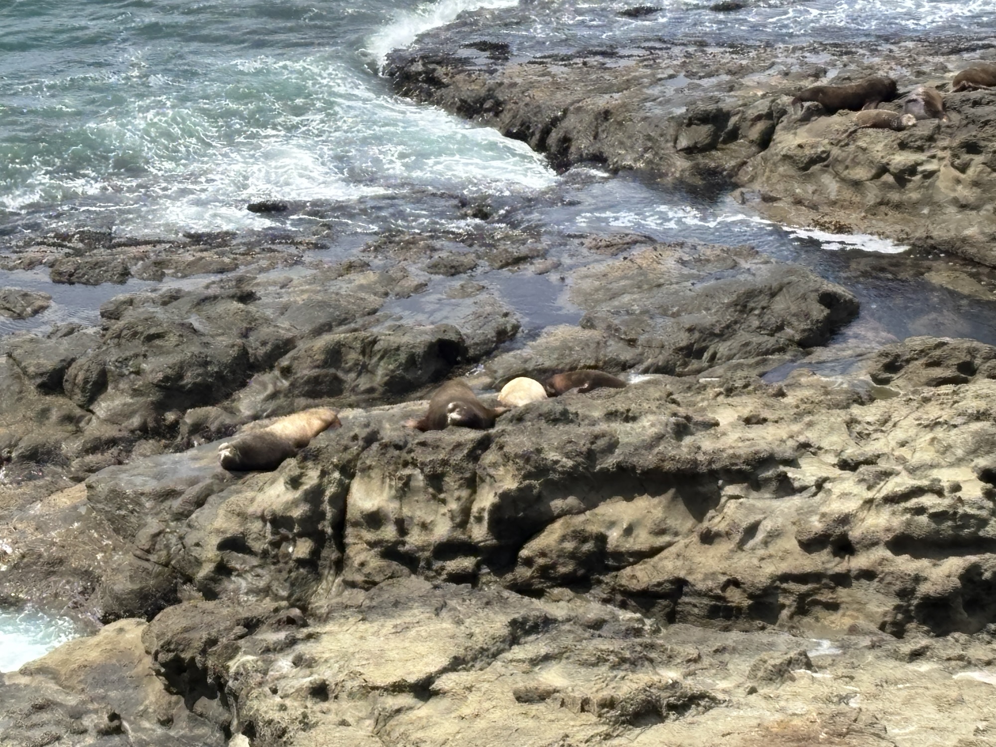
After returning to the RV for a quick break, we headed out to Cape Argo State Park to see some seals and another ocean view. Then to Simpson Reef where there were maybe hundreds of seals on all the rocks and in various lounging positions or swimming around. We did have the binoculars and they really helped. Finally, on to the Cape Argo lighthouse which was only visible from a distance and not very clear.
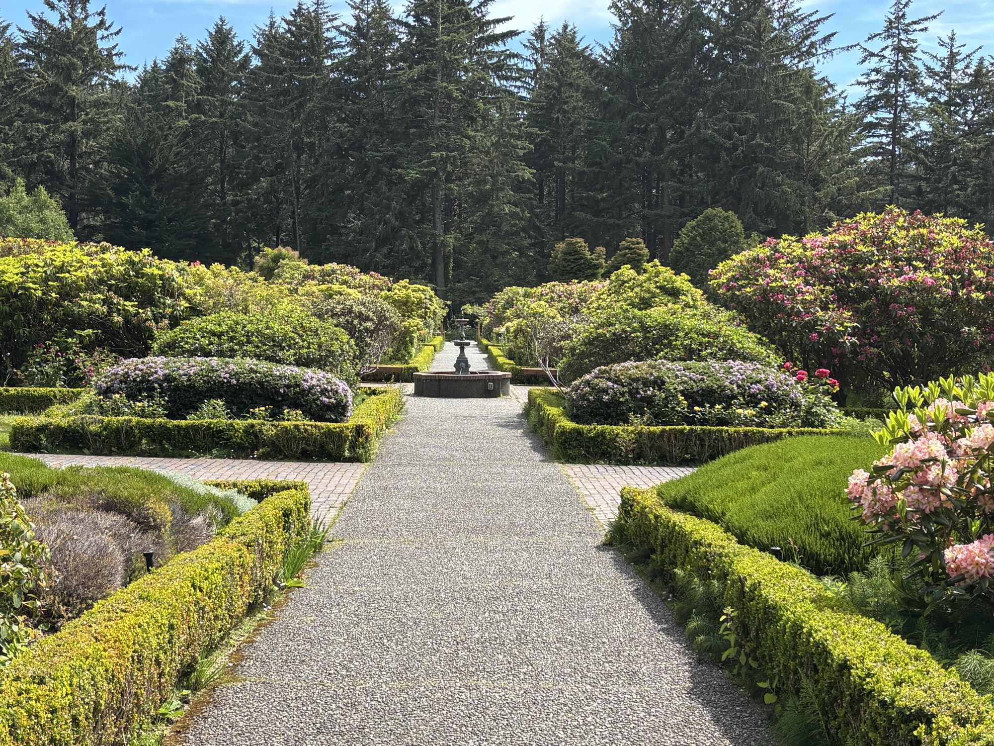
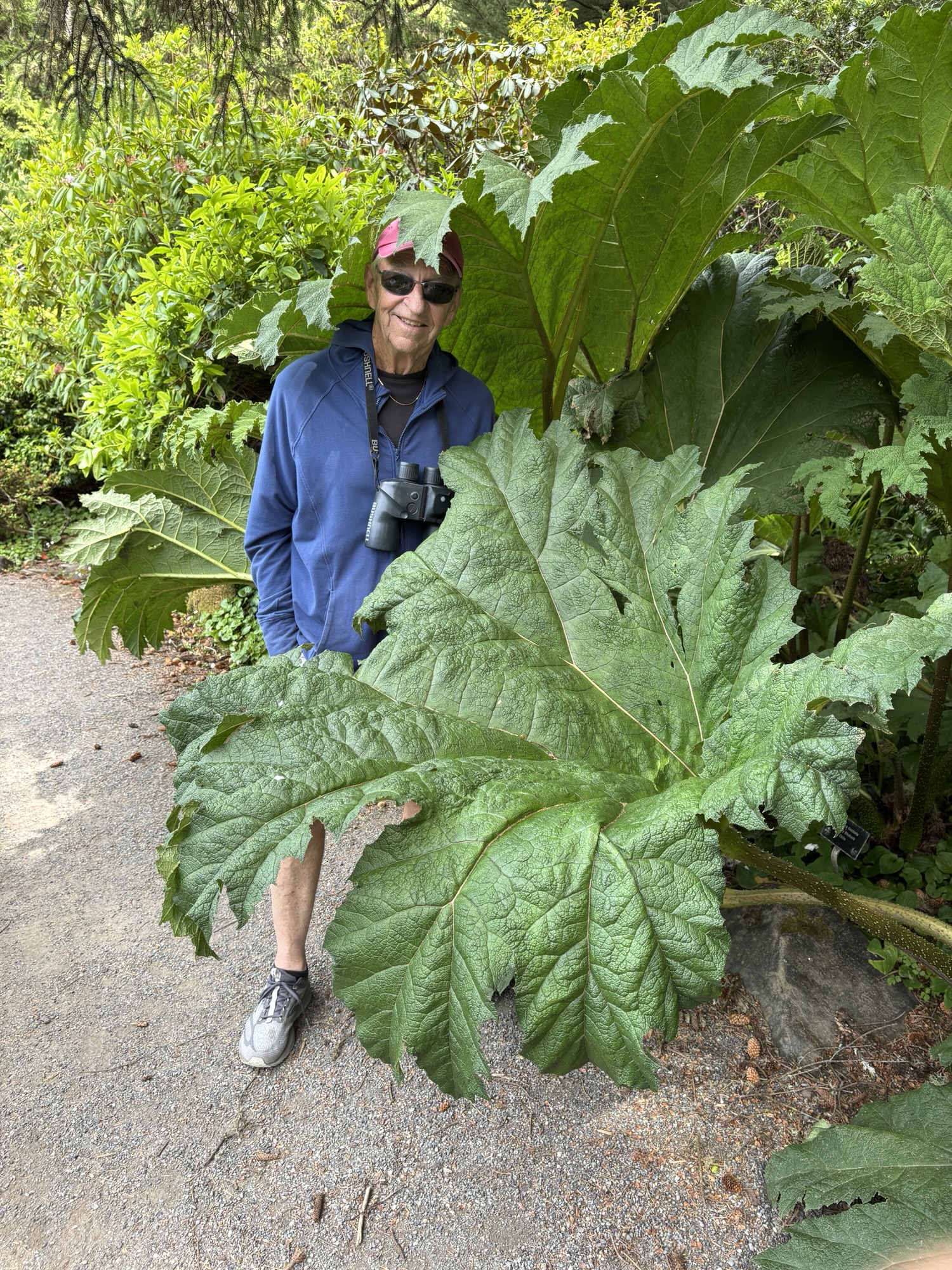
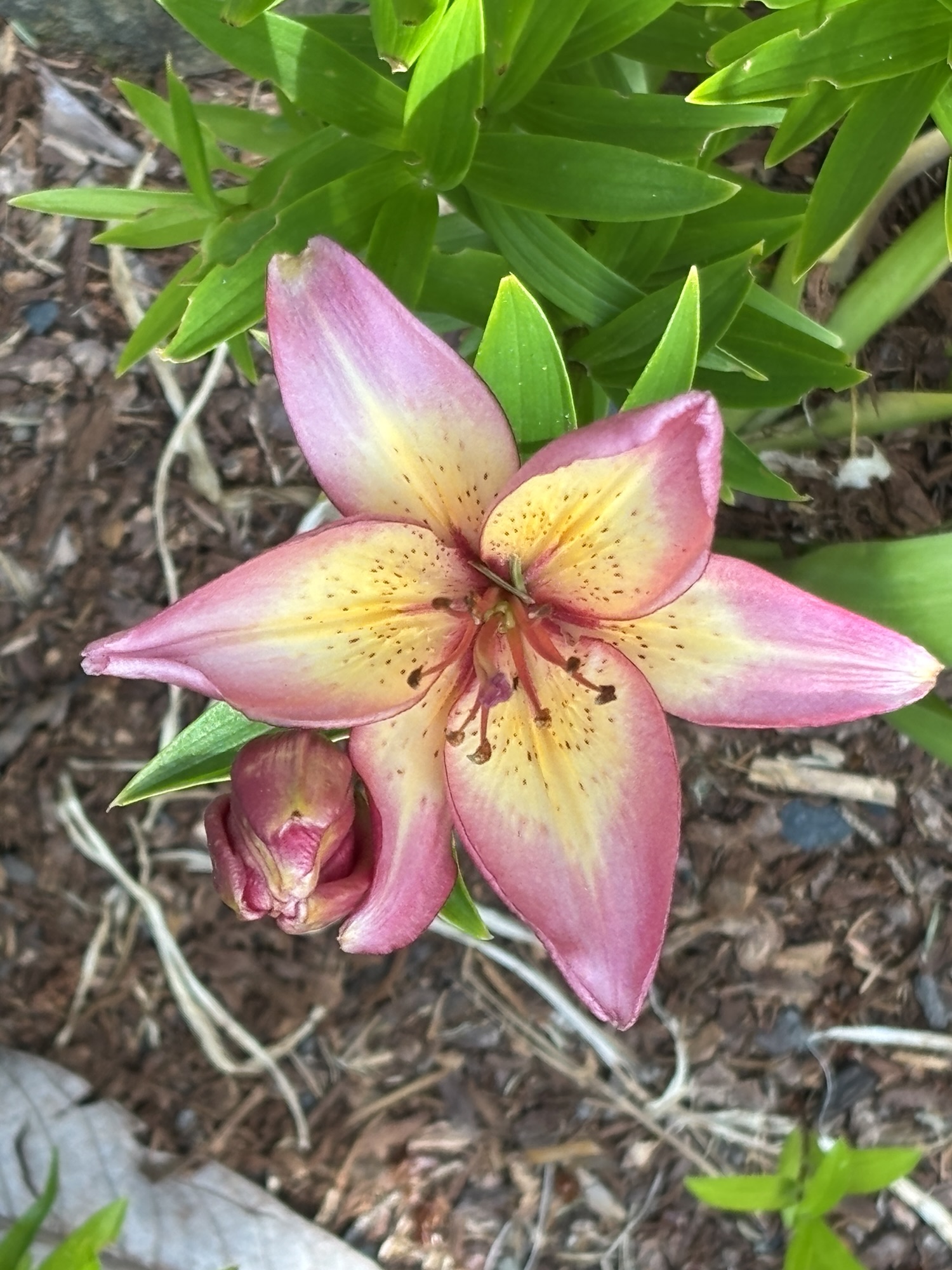
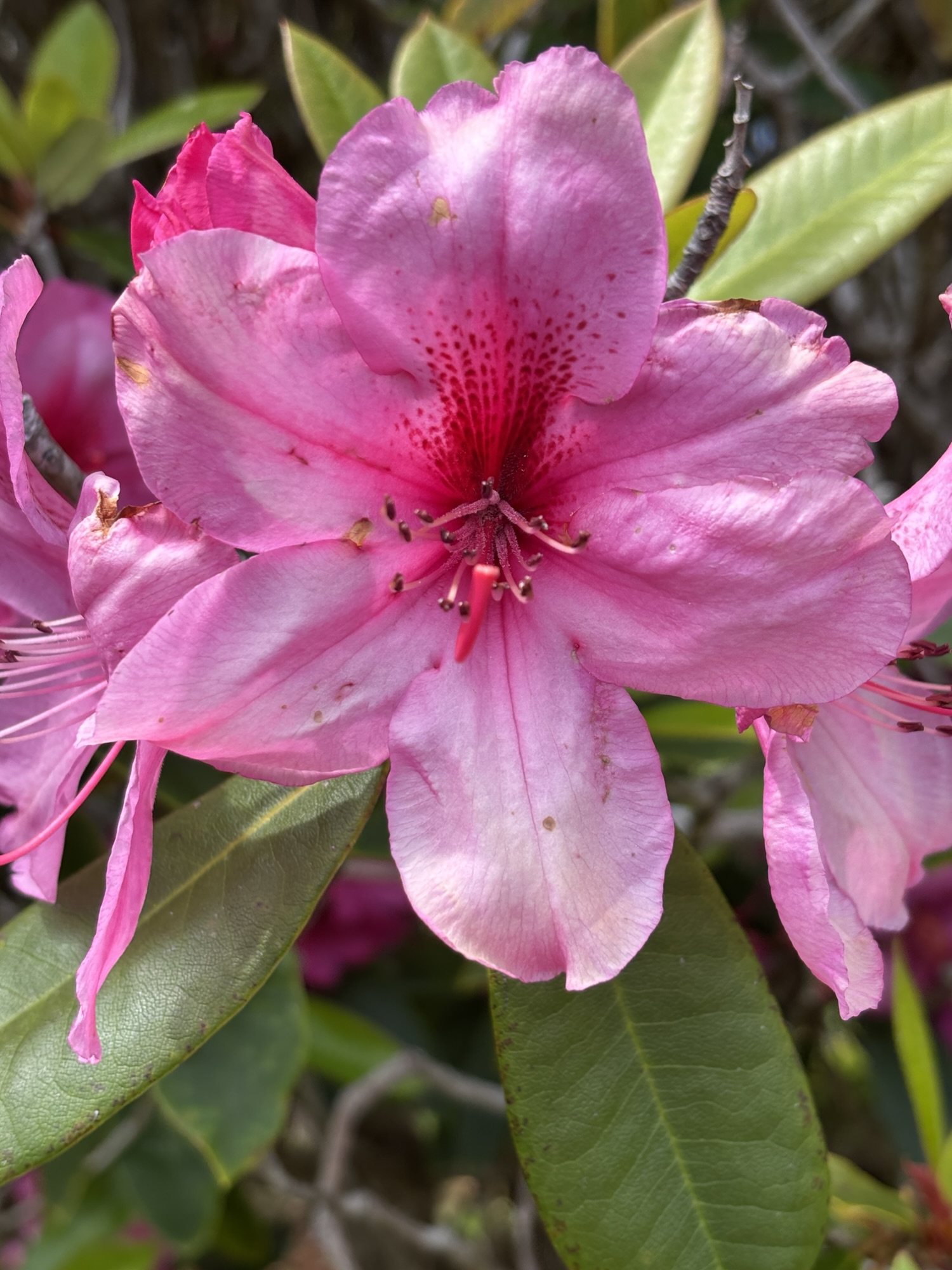
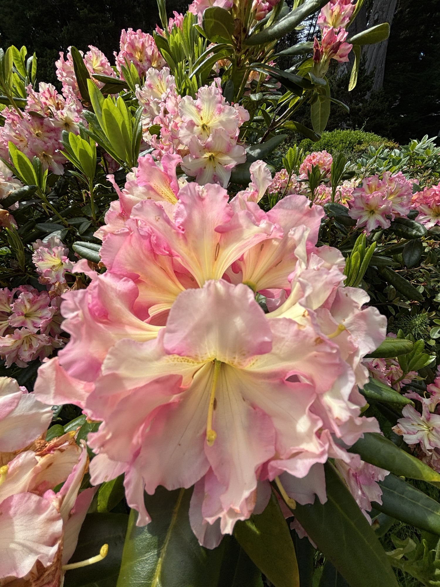
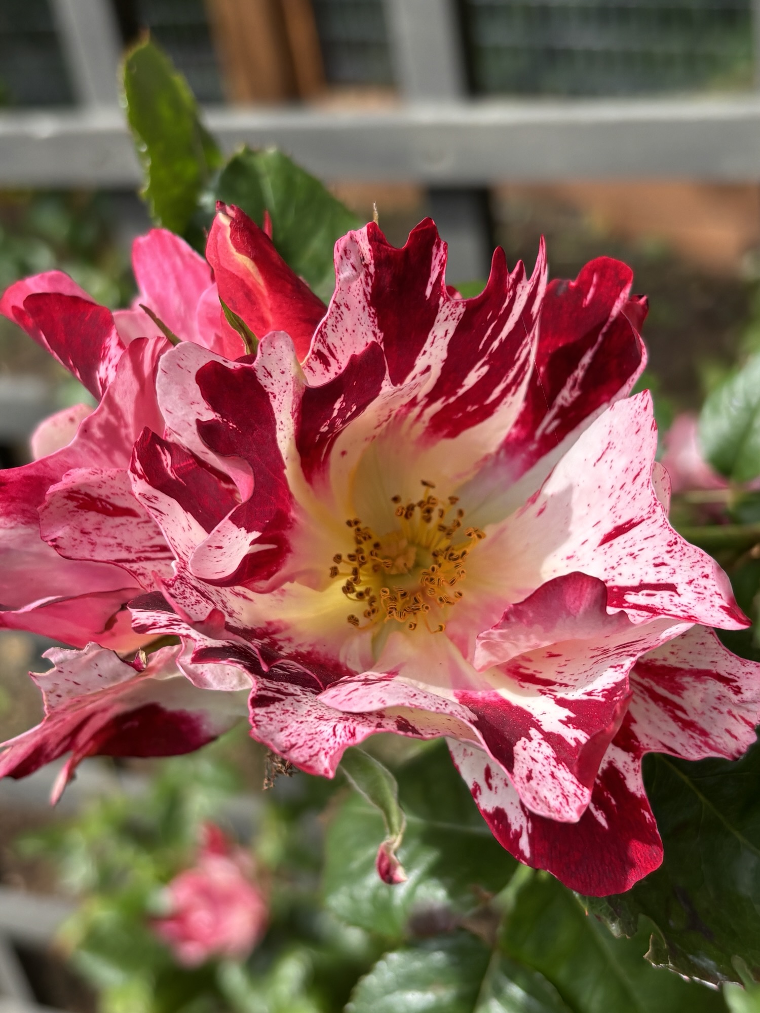
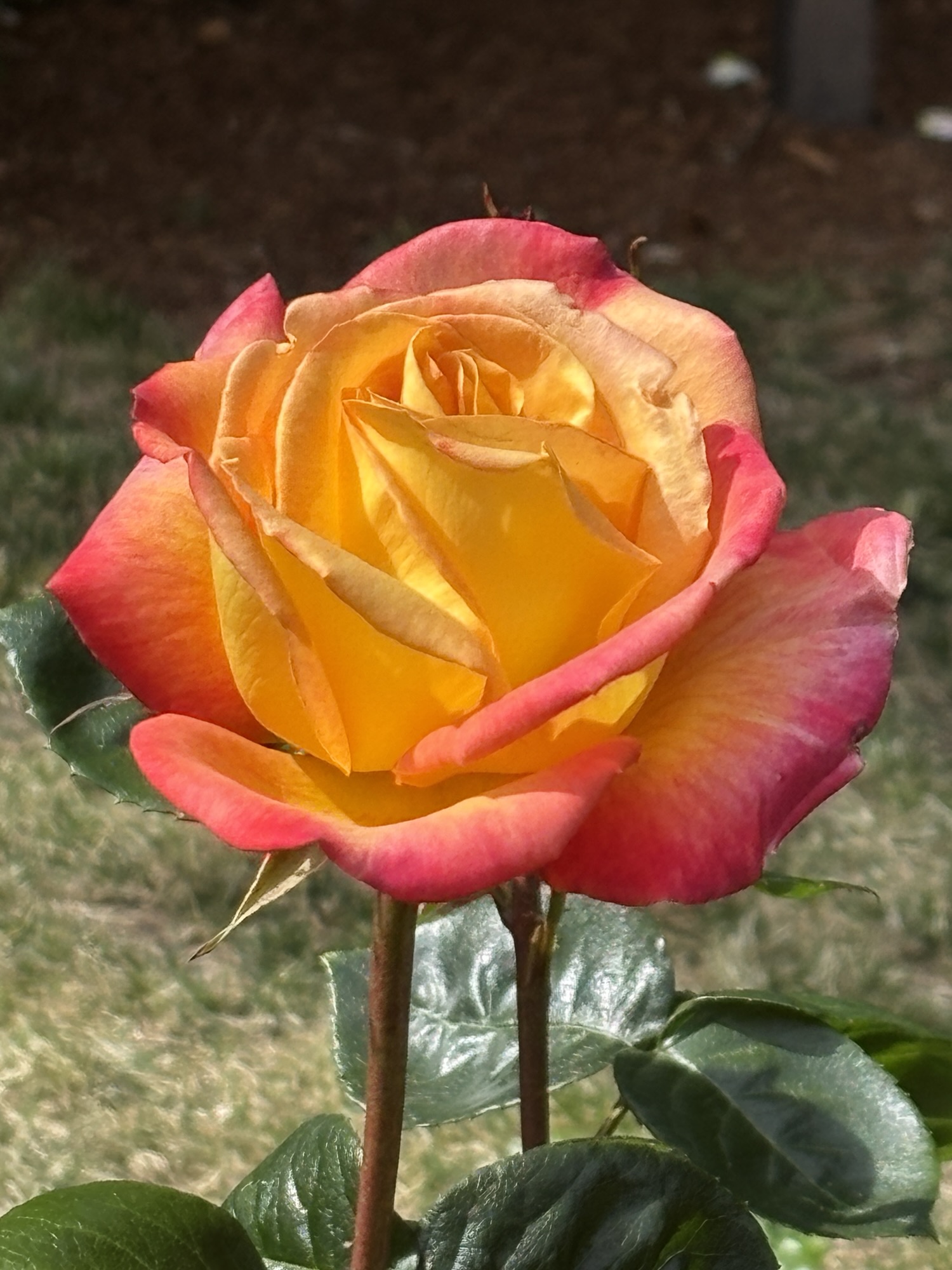
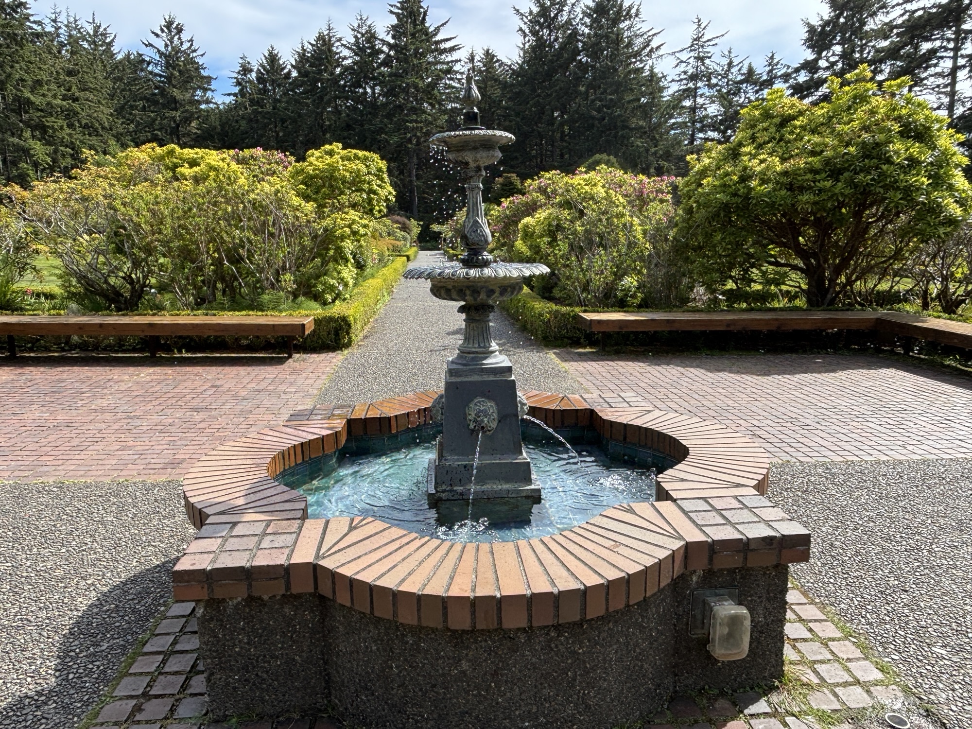
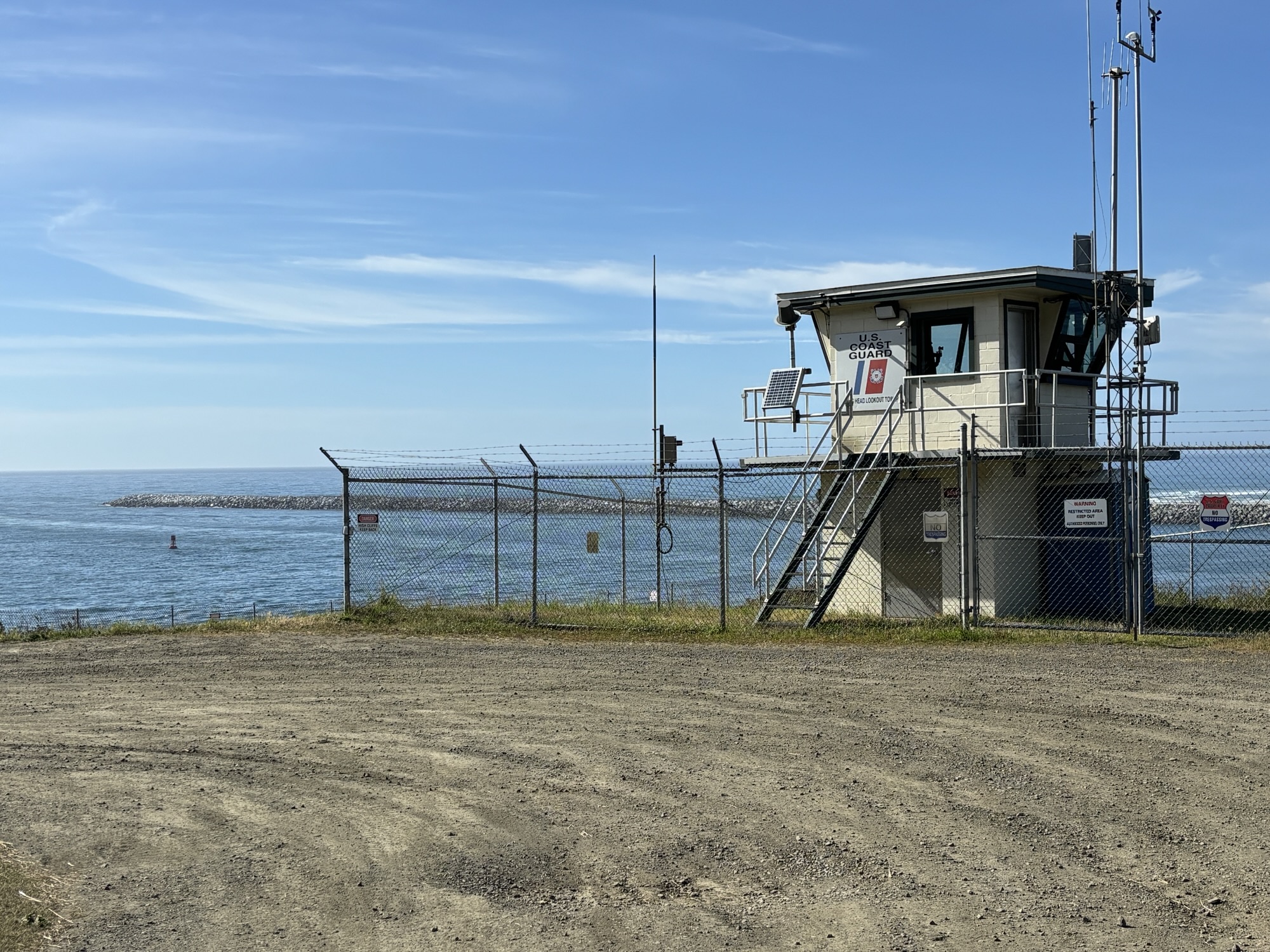
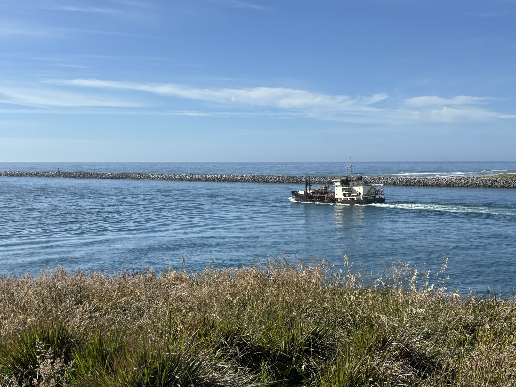
And two more stops in a busy day. First at Shores Acres State Park and Botanical Gardens! It was a small park but with lots of rhododendrons, azaleas, and many, many roses! Small but lovely park. Then on to Coos Head overlook. It wasn’t really marked and the road wasn’t maintained but we headed up. It ended at a US Coast Guard Station located above the harbor entrance breakwaters. To me it appeared to be a very boring place to assign a rookie coastie if he needed some time out!
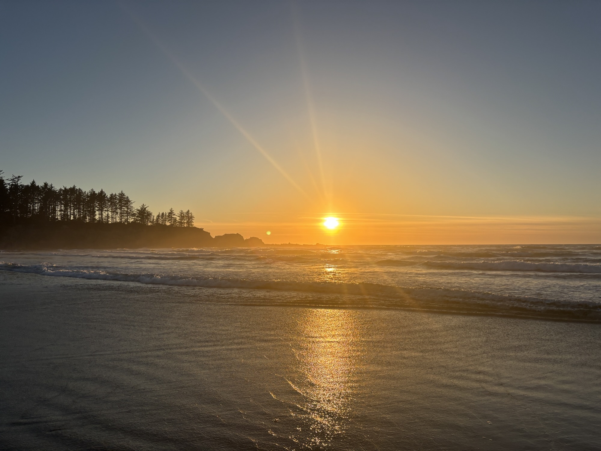
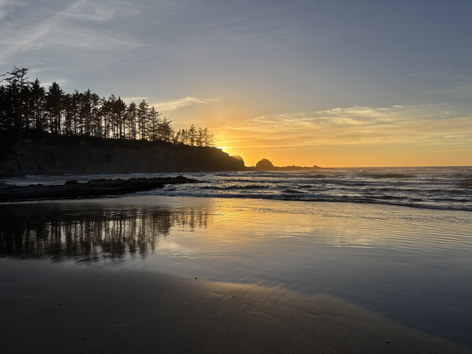
Ended the day back at the RV park for dinner, a walk on the beach and another sunset over the ocean!


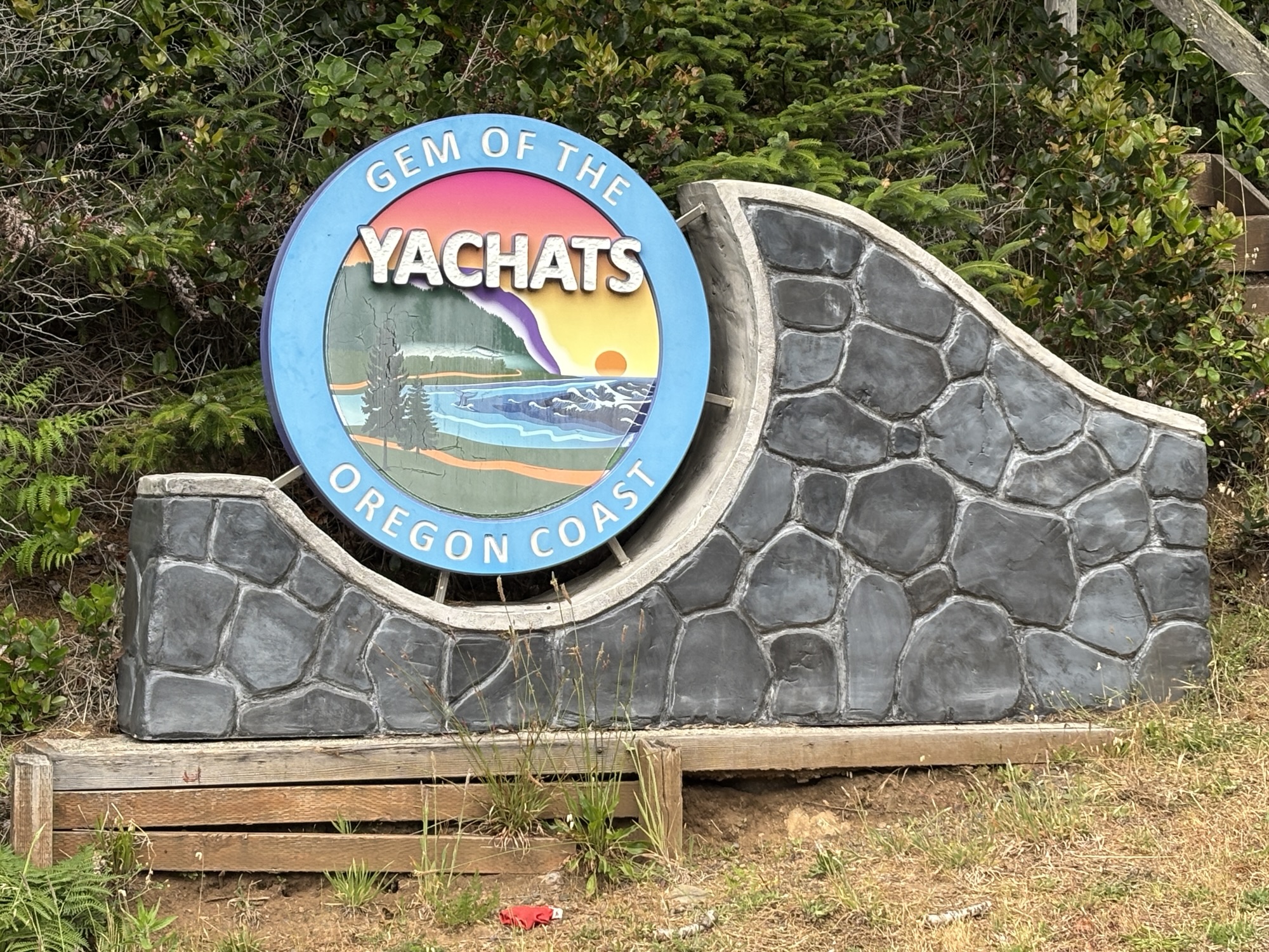
Our next stopping point was to be in Yachats, OR. For your info, it is not pronounced like a fancy motorboat! It is Ya-Hots! And it is another highlight on the list with a lot of other stops before you arrive as we found out. We did stop at some but there is no way to hit them all.
Our original plan included meeting up with a work friend of Gail’s who lives inland from Yachats but she ended up having car troubles and couldn’t get it resolved in time to make a day trip over. Both of them had been really looking forward to the visit. Maybe next time or another chance in the future.
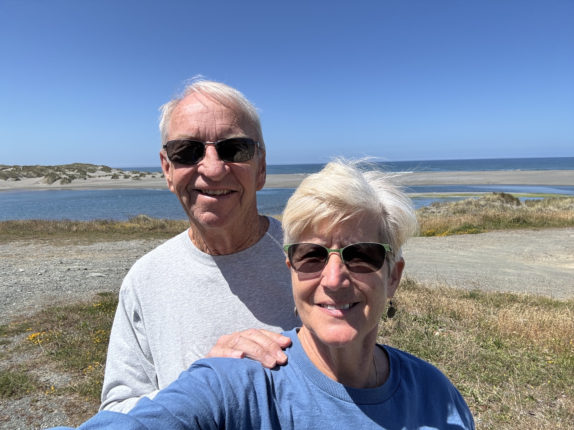
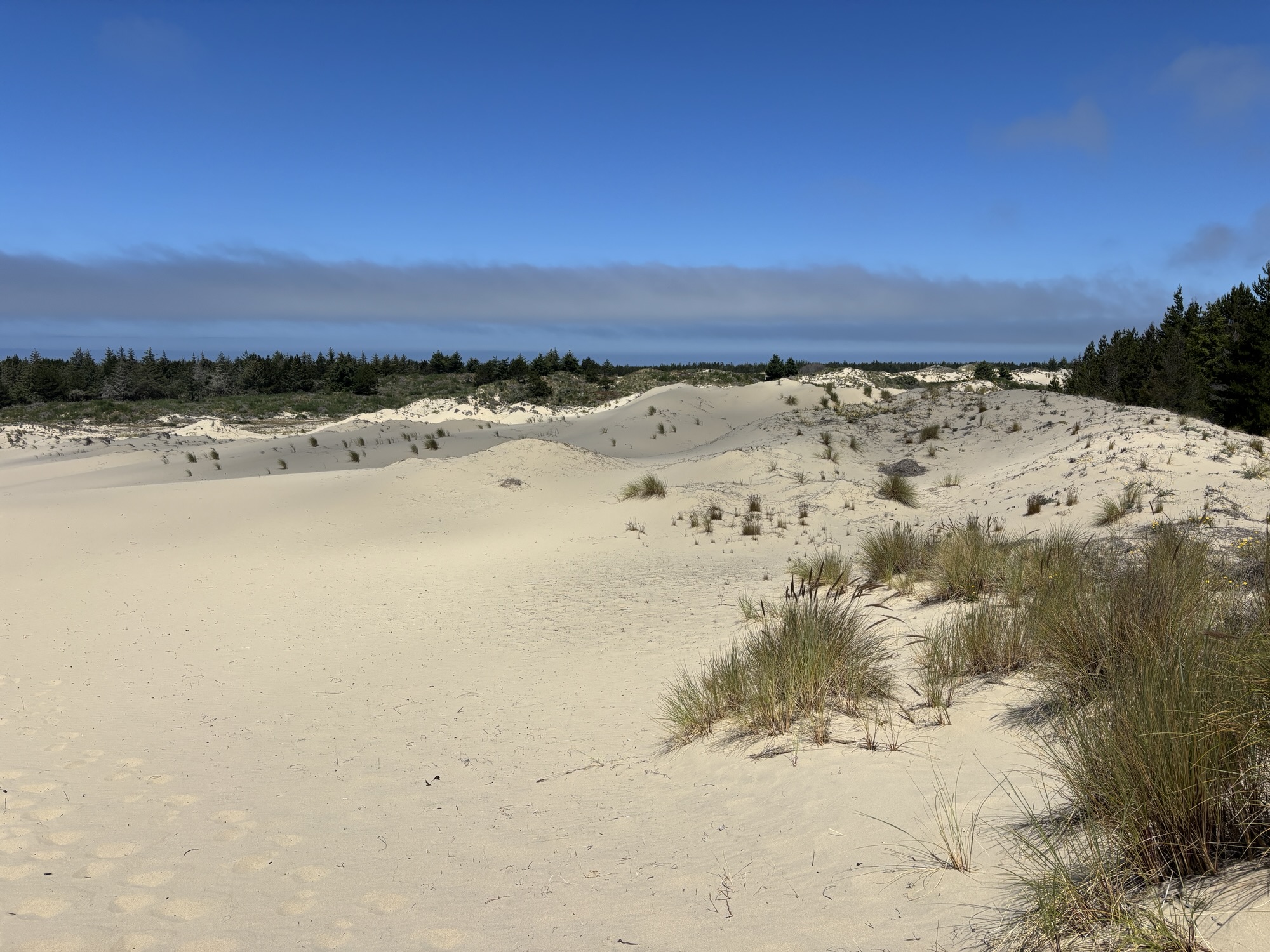
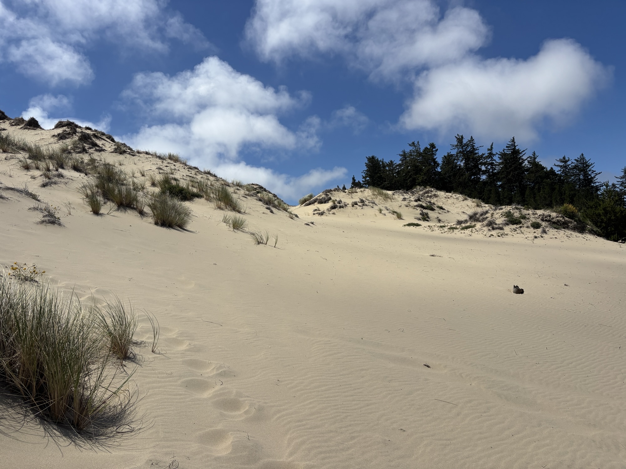
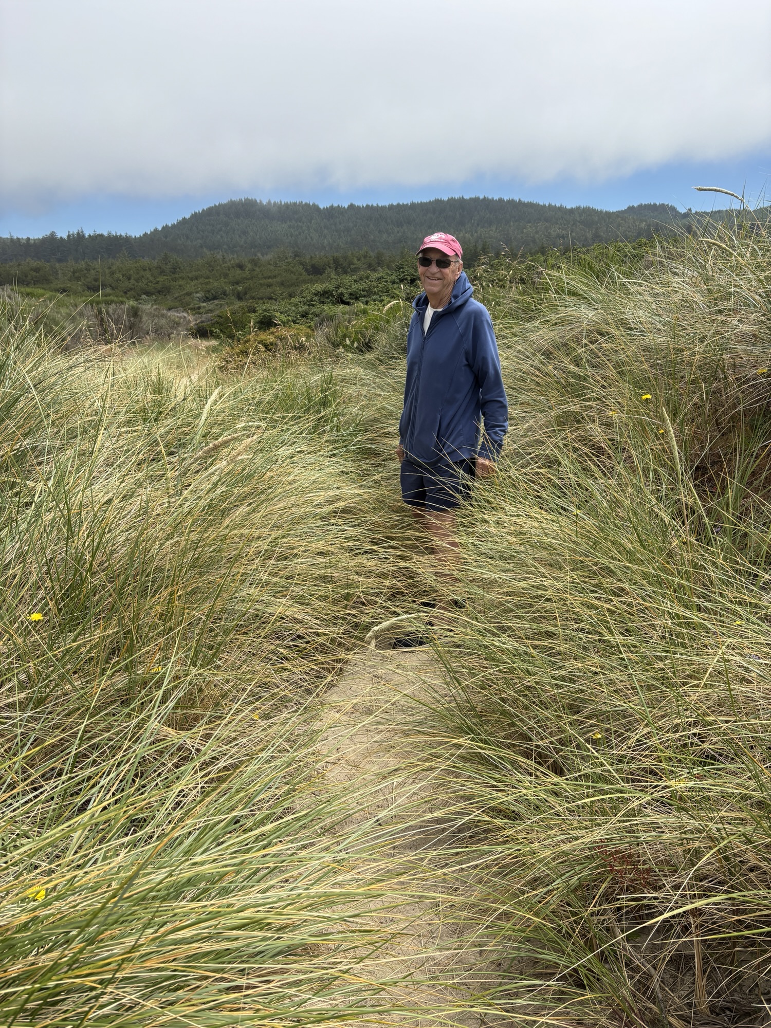
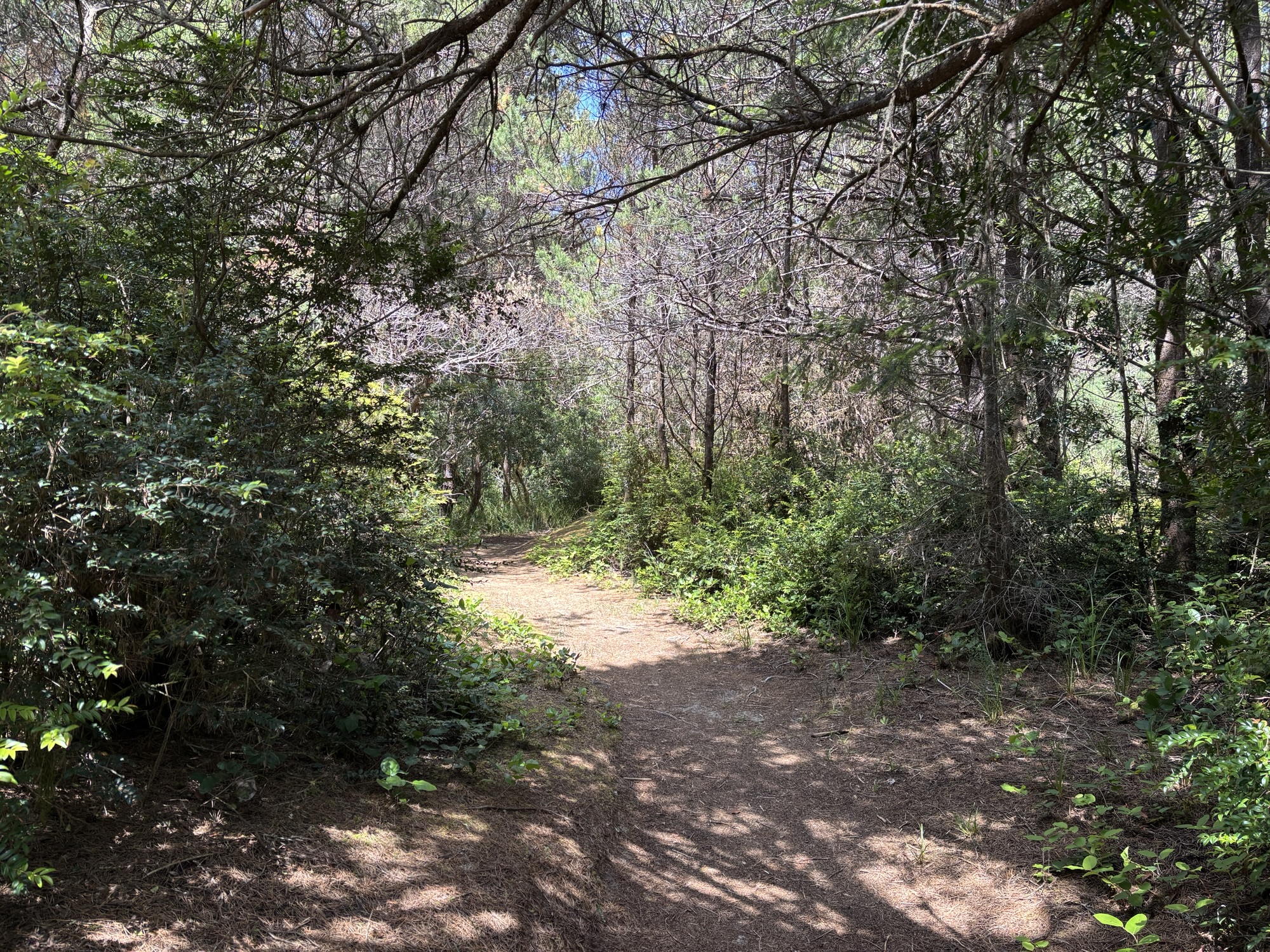
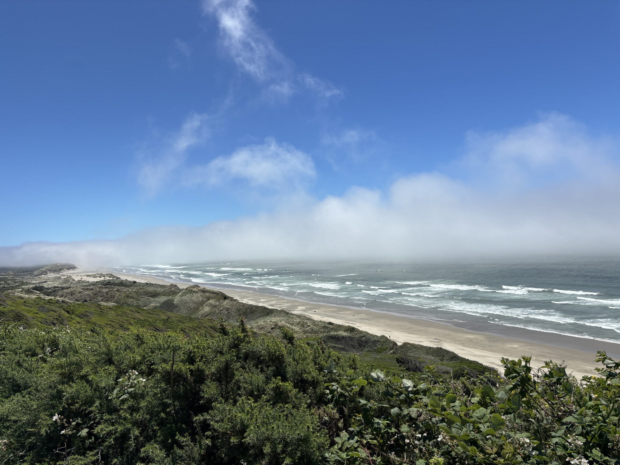
On the way, we did make a stop at the Oregon Dunes National Recreational Area. It is the largest coastal dune in North America. We did a 2-mile hike on the dunes, out to the beach and back. The next day was to be an OHV or ATV gathering on the dunes and many RV’s and pickups with strange looking small “dune-buggies” (as we used to call them in the old days) began to arrive. It might have been interesting but seemed very dusty! Glad we moved on and just saw the postings on Facebook!

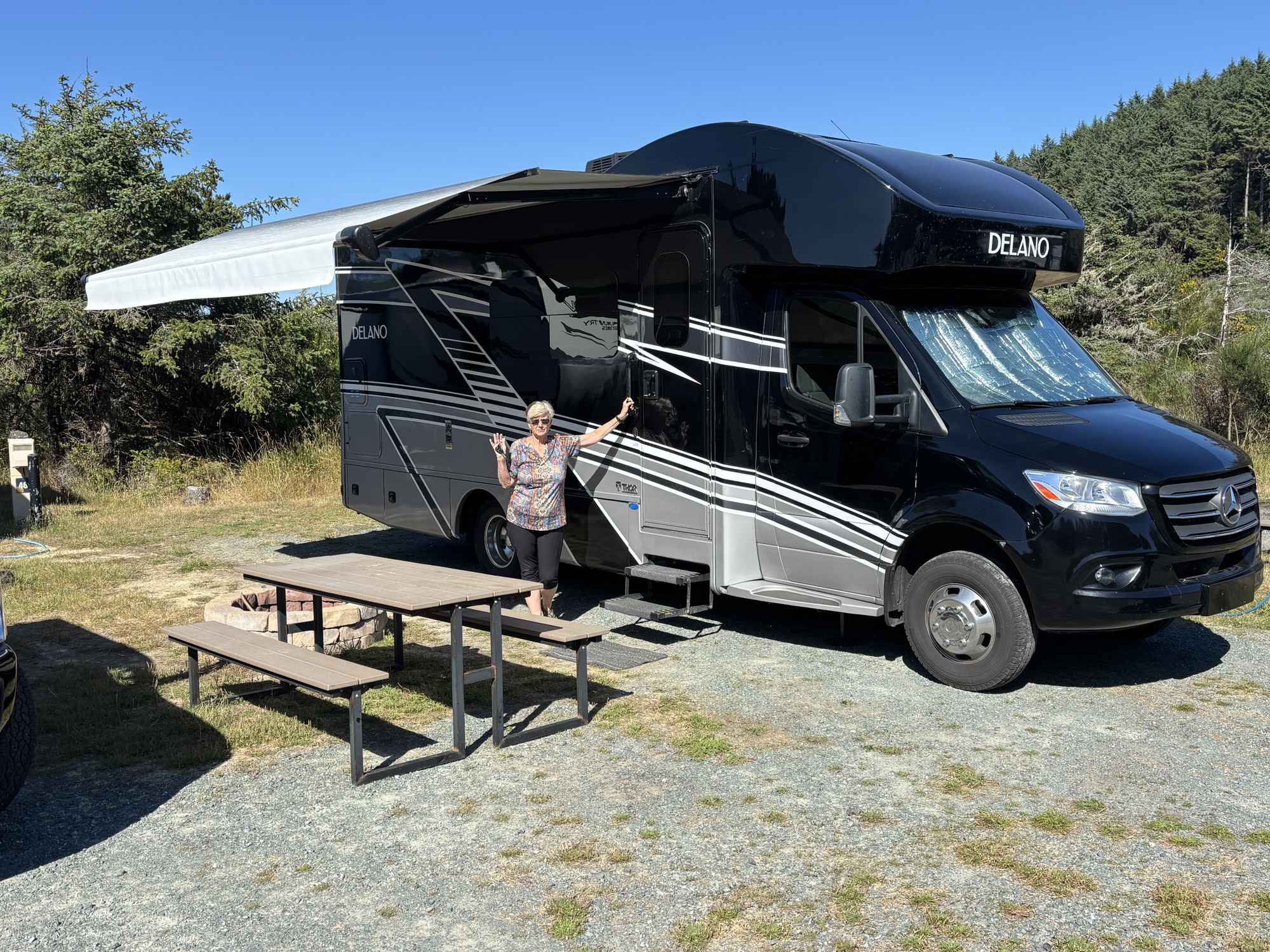
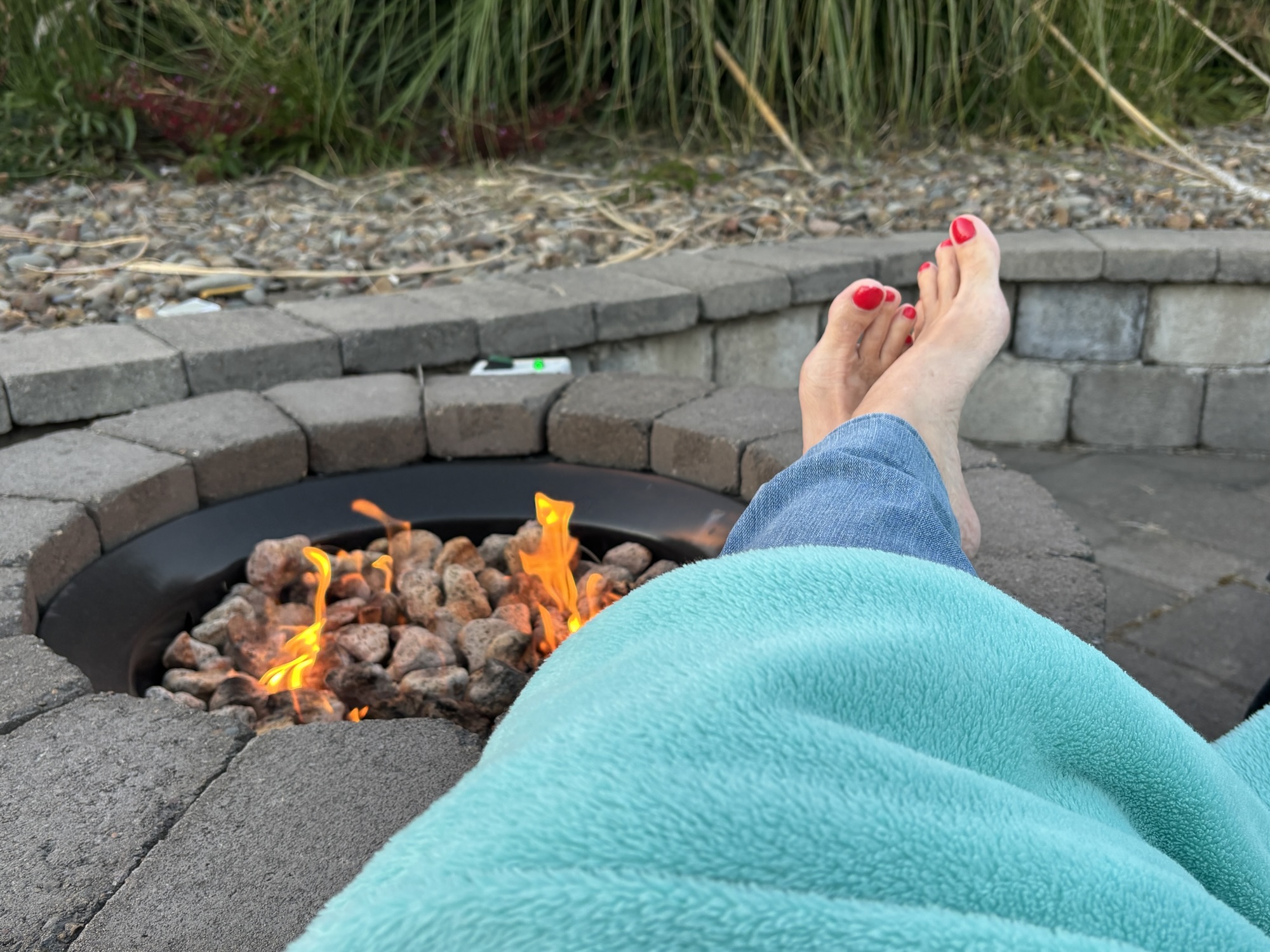
We checked in at the RV park which I classified as a luxury park. Again, on the beach and this one included a propane gas fire pit at each pad. We had never seen that feature in the trip so far!
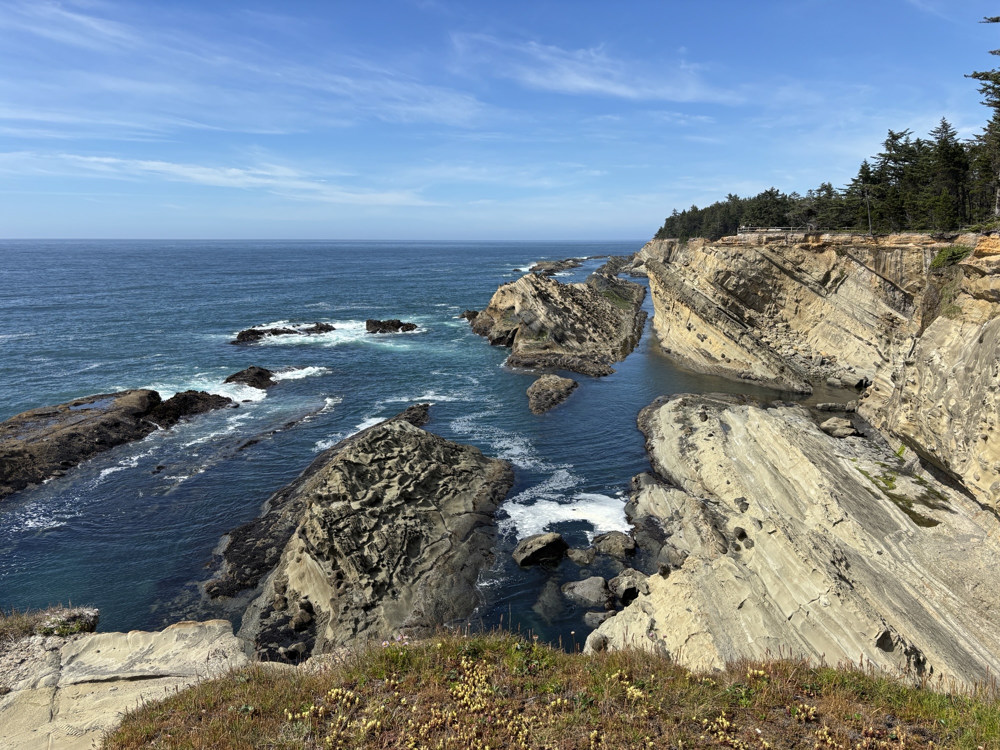
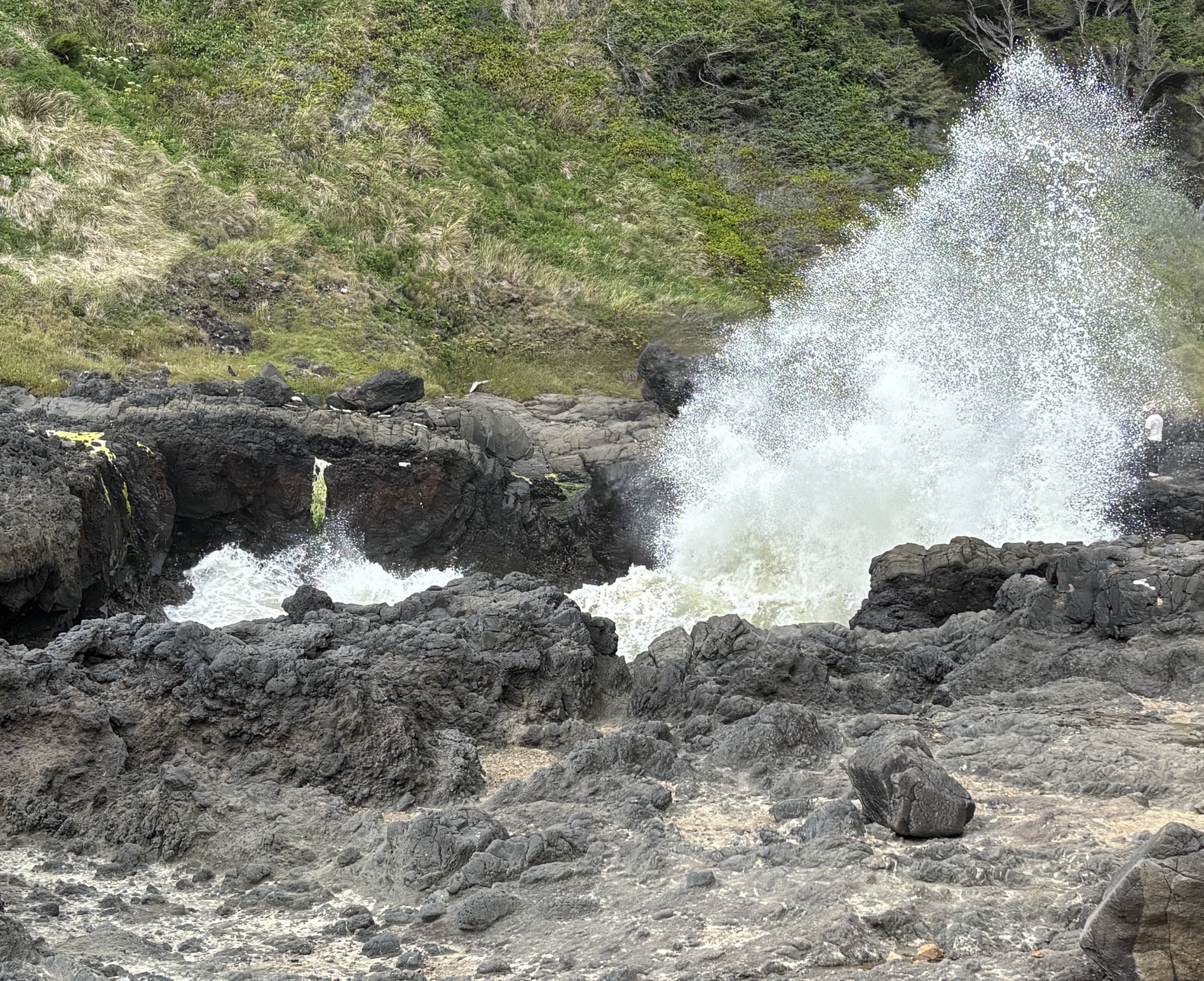
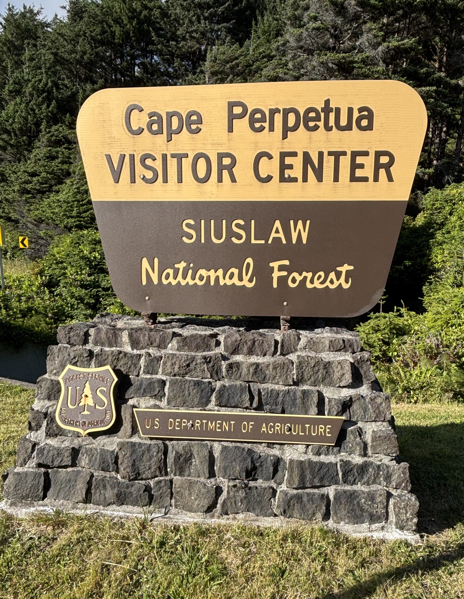
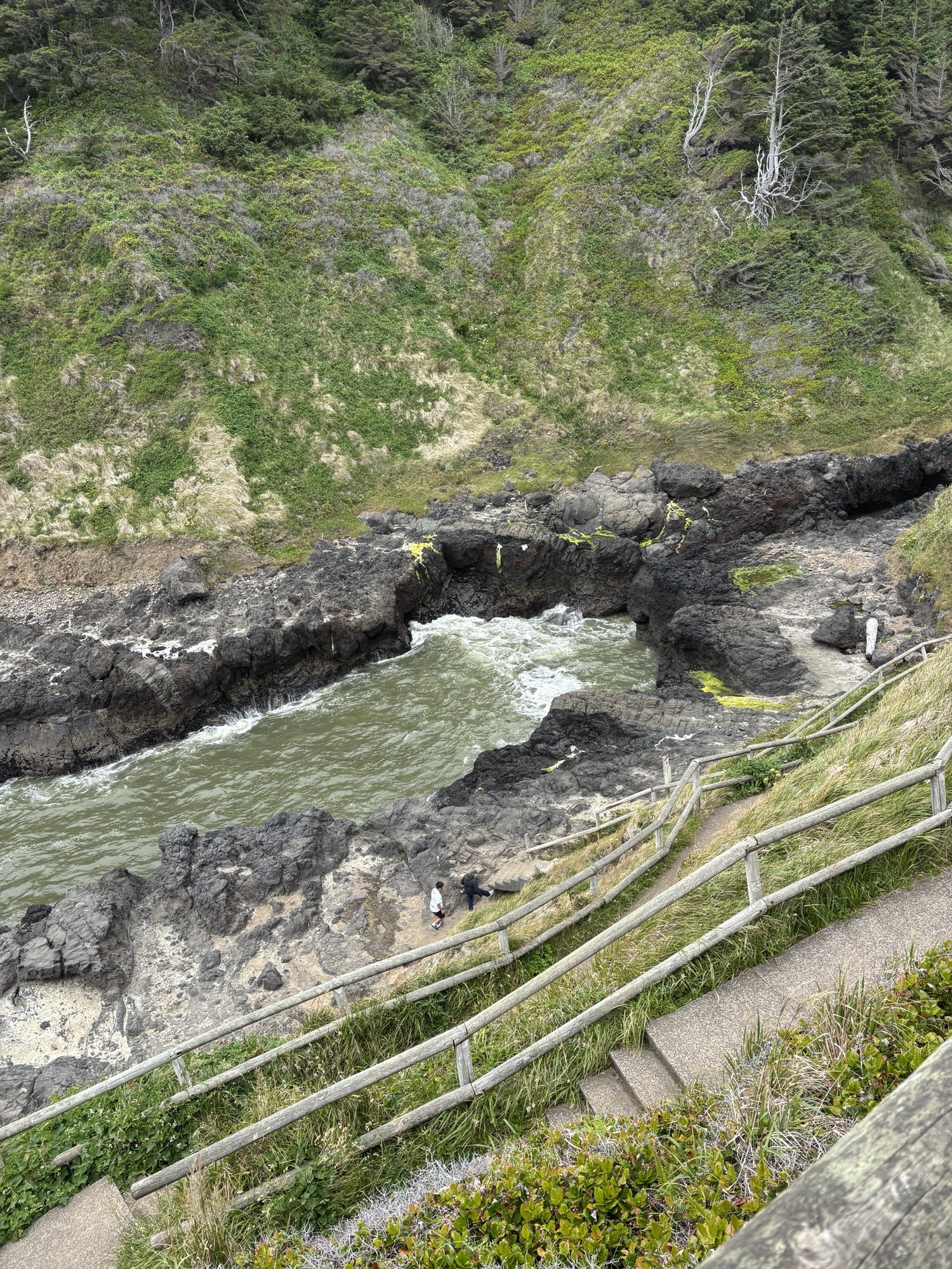
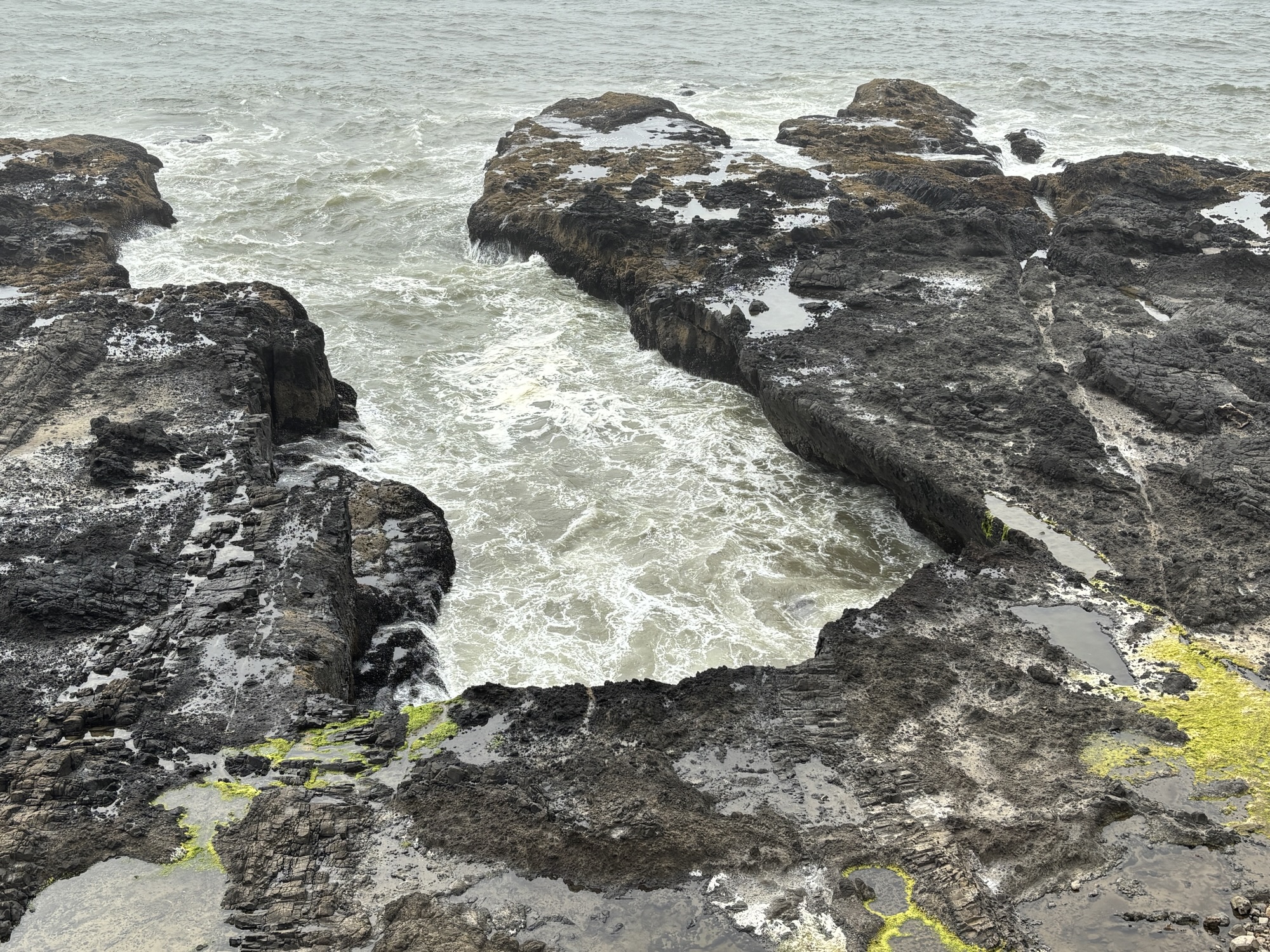
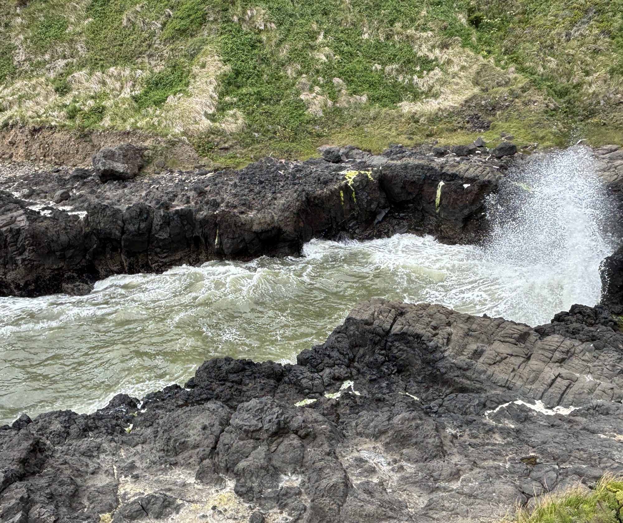
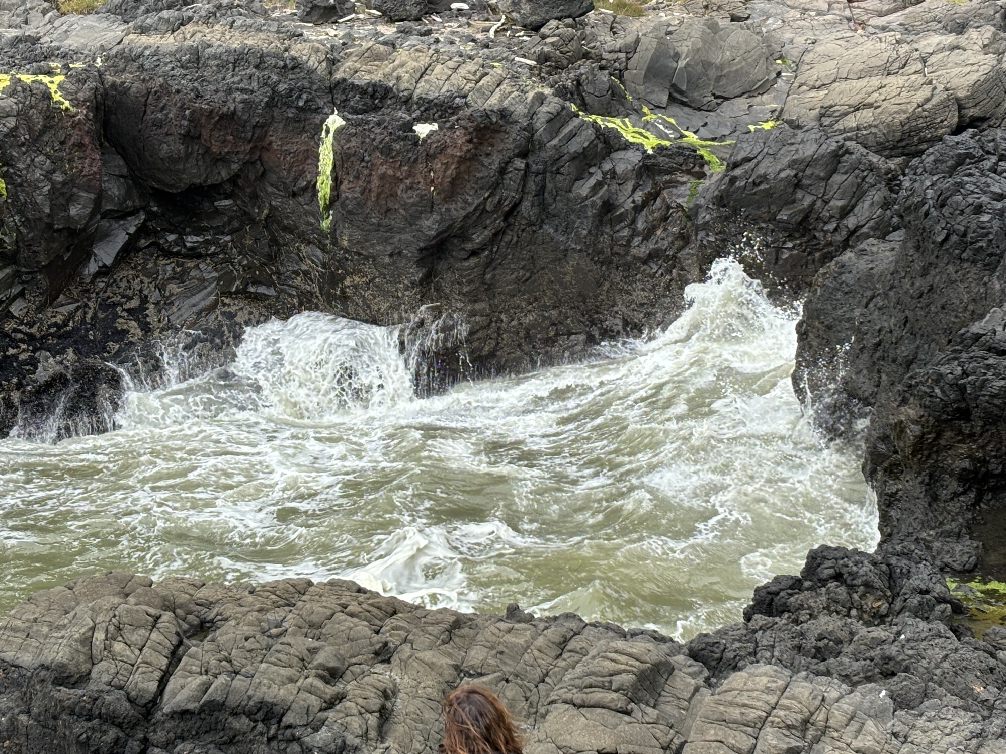
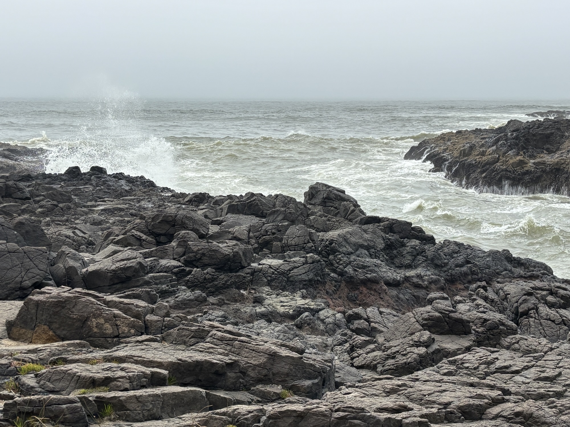
We jumped in the Jeep and went to explore another major place on the list (see it’s becoming very handy!) called Cape Perpetua. After a quick stop at the Siuslaw National Forest HQ to get some added tourist info and the lay of the area, we first headed to The Devil’s Churn. It is a narrow inlet off the ocean where the waves come into a dead-end. The effect is a churning and crashing of the waves. Very dramatic! It was a bit of a challenging walk to get close, but the result was very photographic!
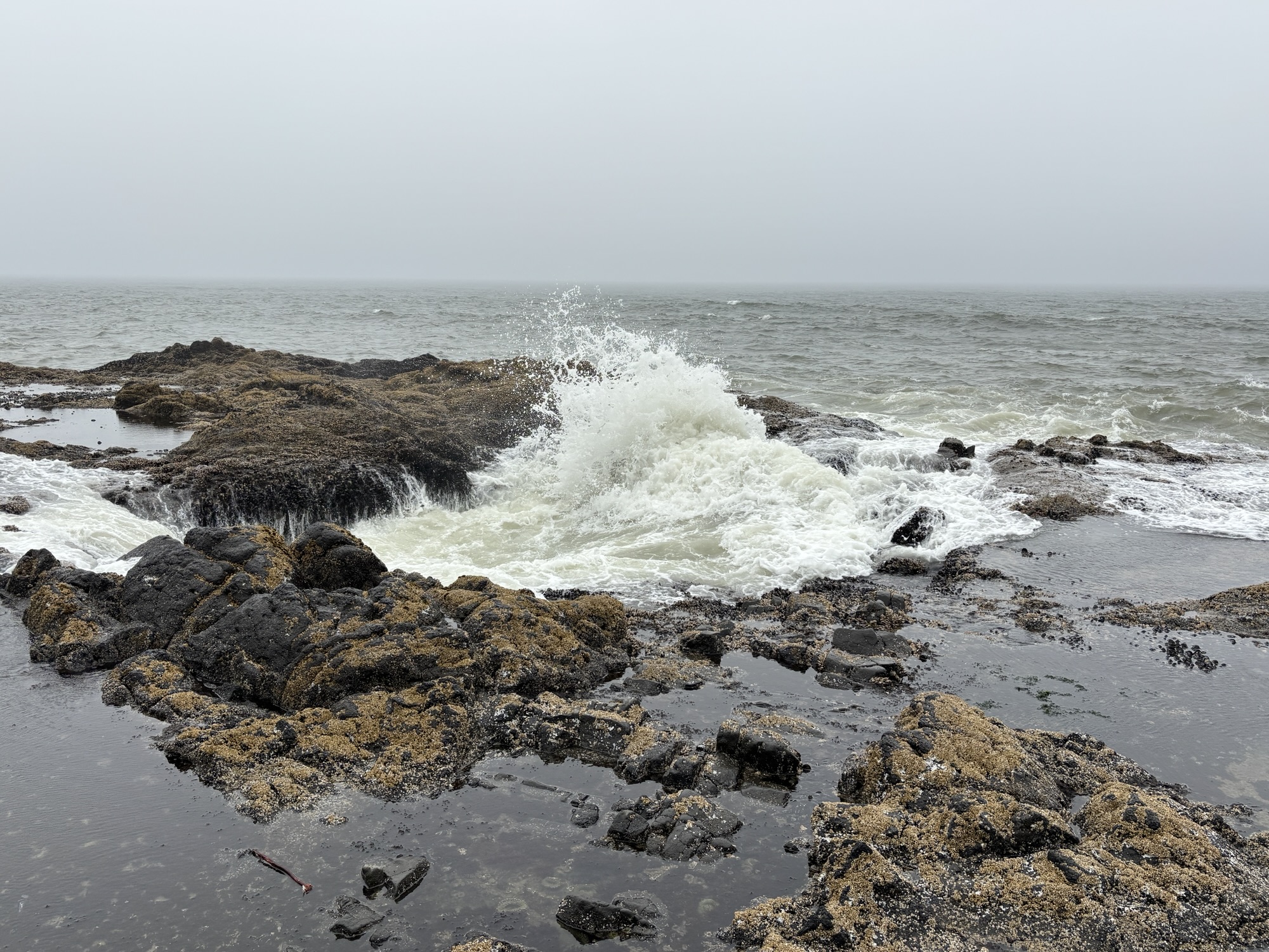
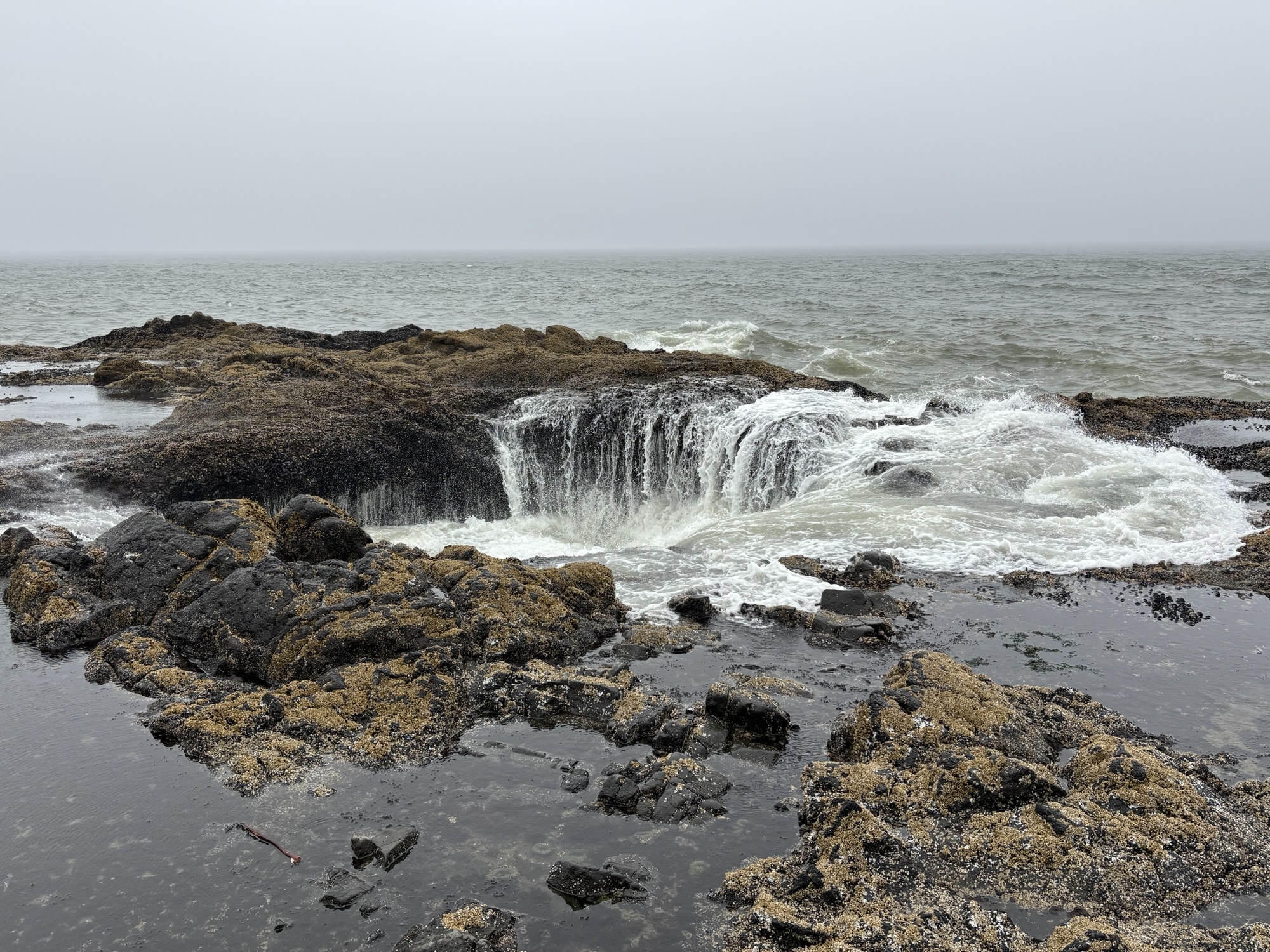
Then a bit more drive to Thor’s Well. This is another water effect location out on the water’s edge where waves come in under a large hole in the rocks and forces the wave upward. If you are too close and/or in the wrong spot, you will get wet if not knocked over! Very cool to see but the fog was rolling in, and it was time to move on.
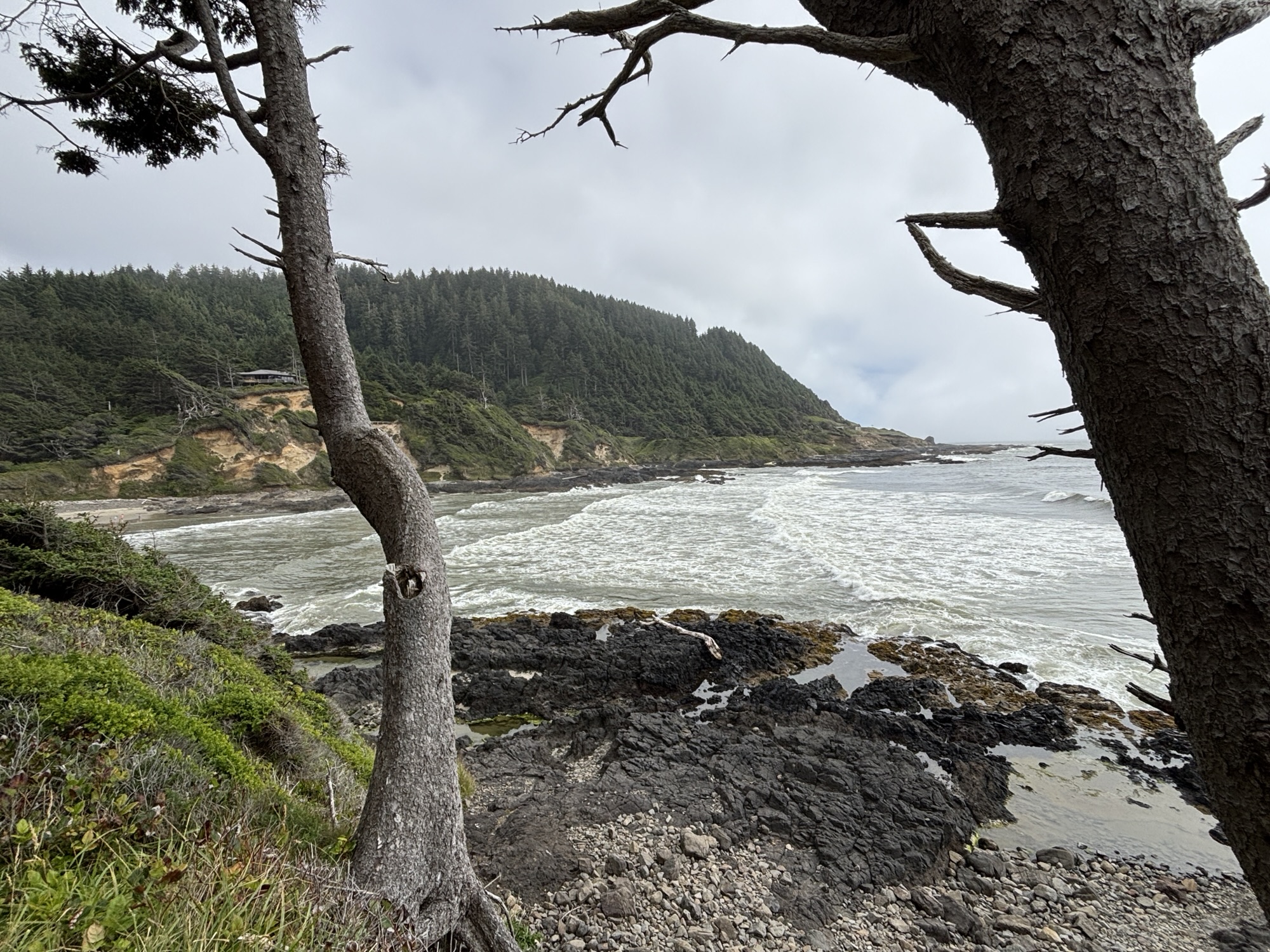
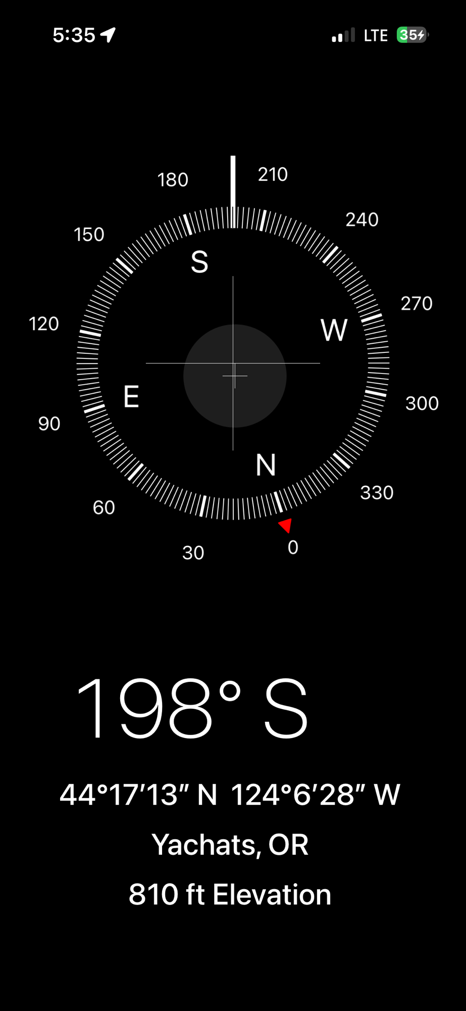
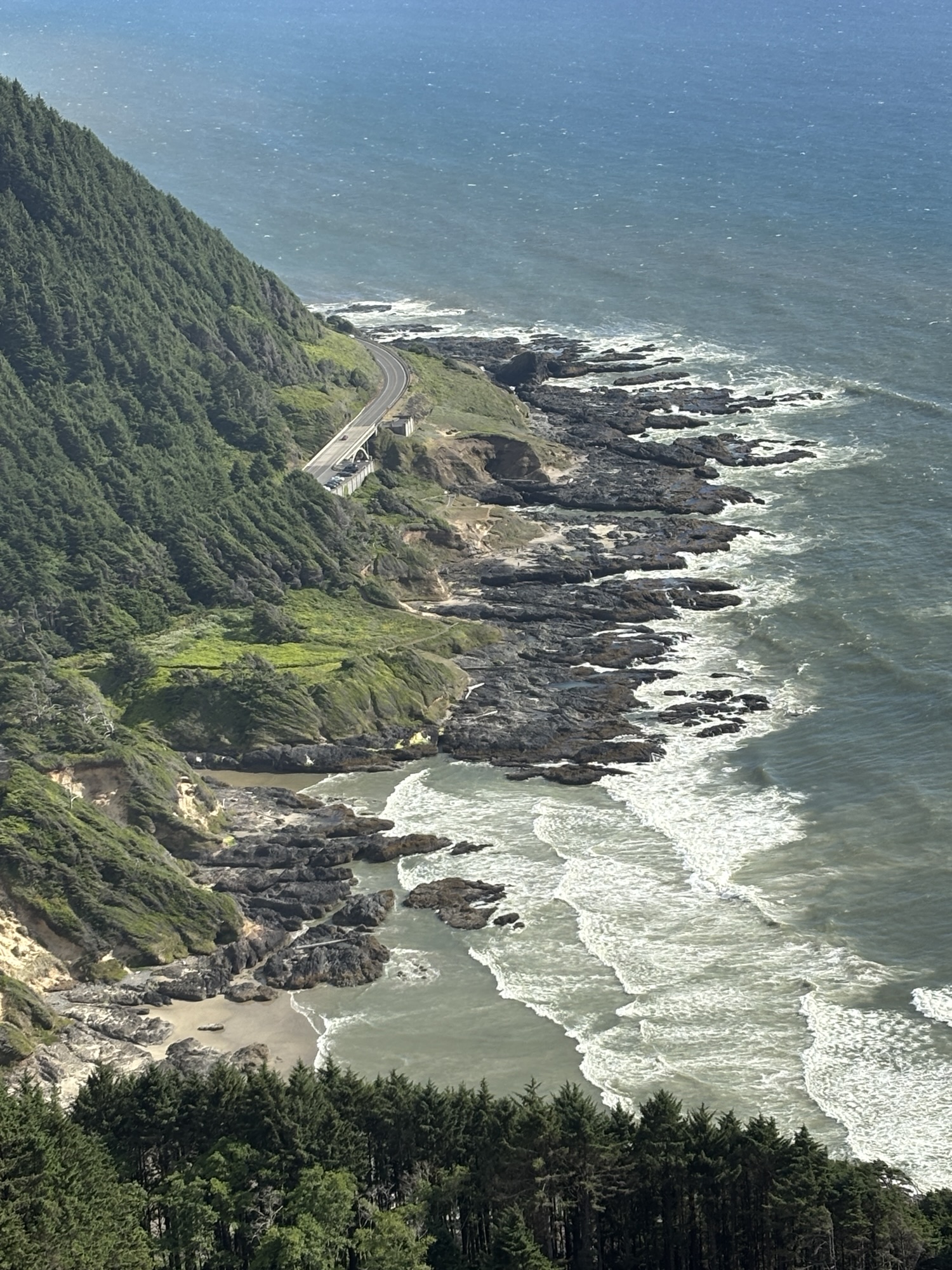
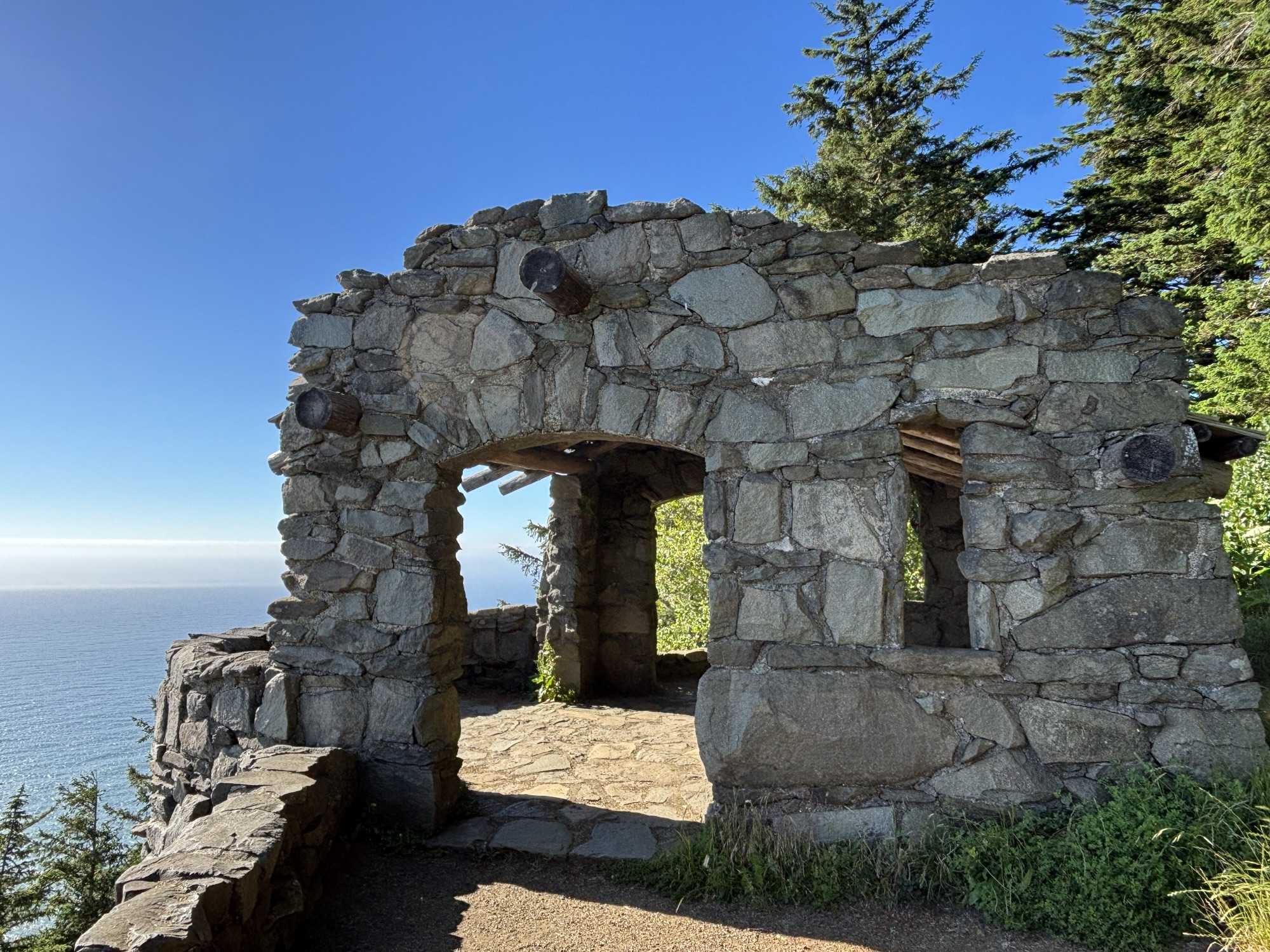
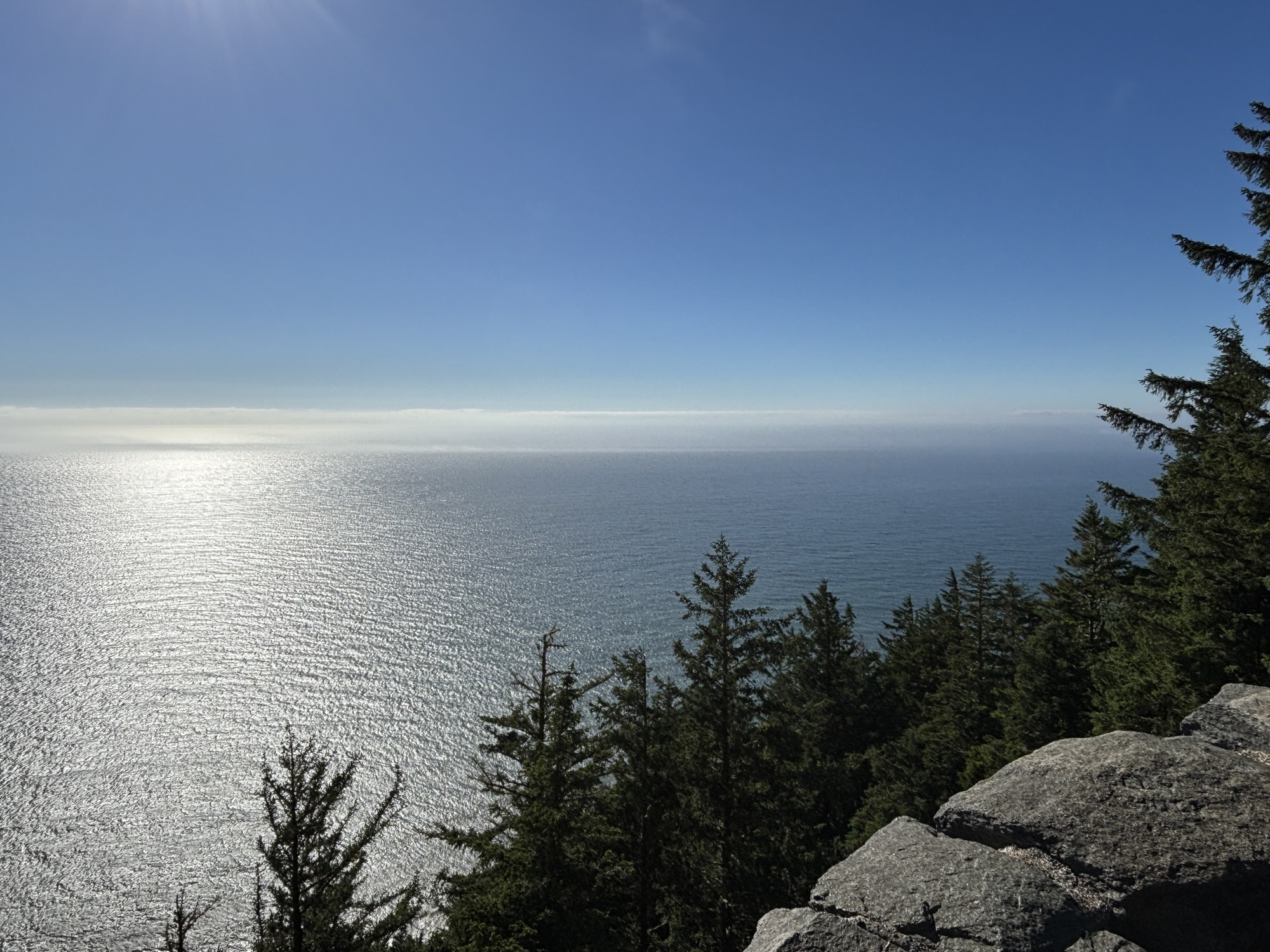
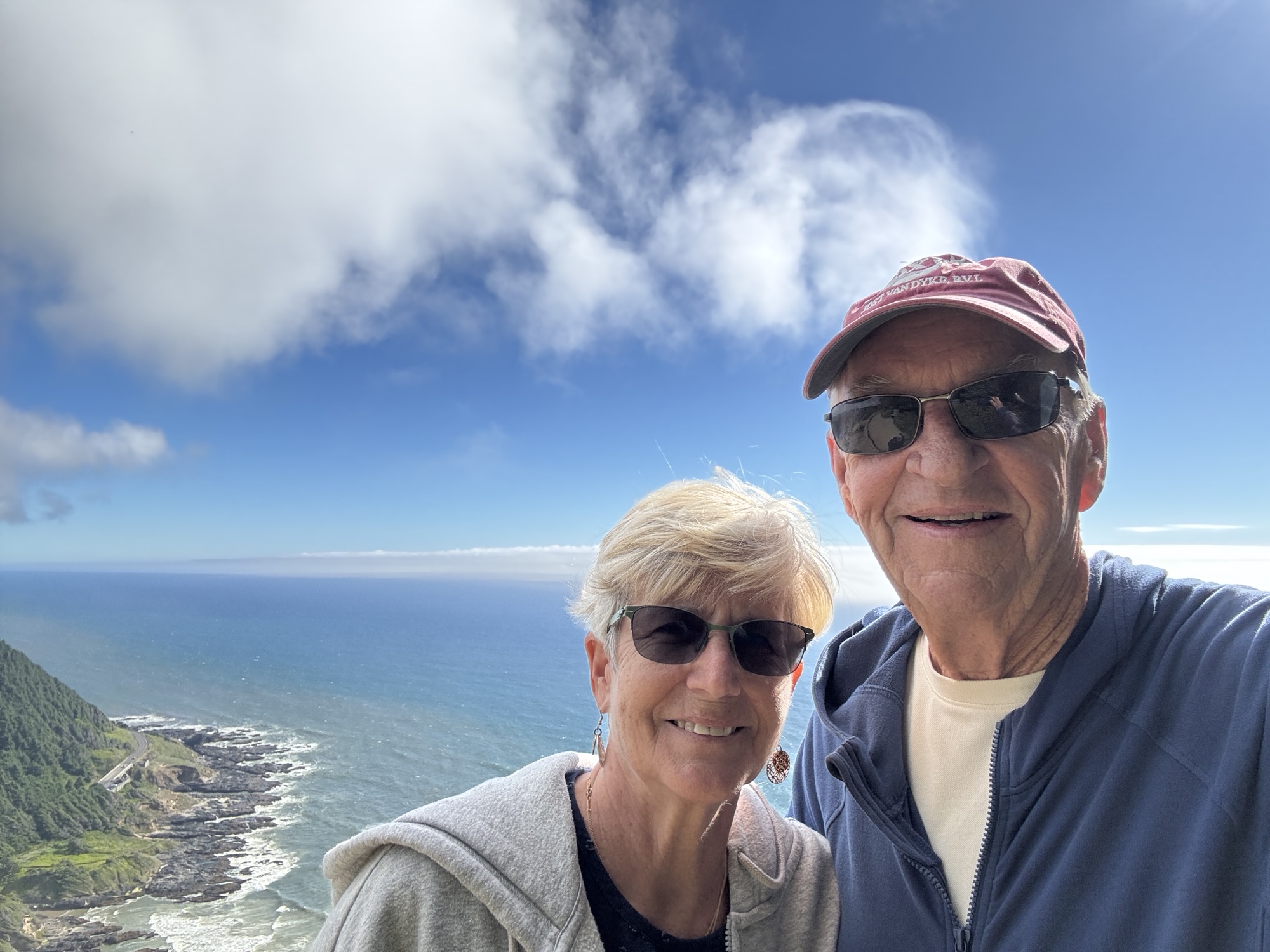
Lastly, we drove up to the top of Cape Perpetua. The fog had vanished and the view was very dramatic. This peak is the highest point on the Oregon coast.

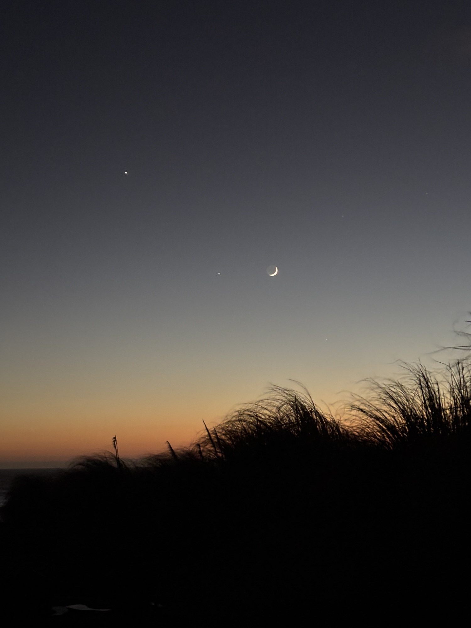
We had covered a lot of different kinds of ground during the day and hiked over 6 miles. We went back to the park and relaxed after dinner by taking advantage of the fire pit. And then also took advantage of the view of another beautiful sunset. Gail got a photo of the moon and two of the 3 planets that were visible and aligned that night!
I have rambled along so much with just 3 stops that I am going to split the Oregon coast into two blogs. So, hang in there and we will take you the rest of the way up the coast very soon!!
And maybe some more sunsets!
