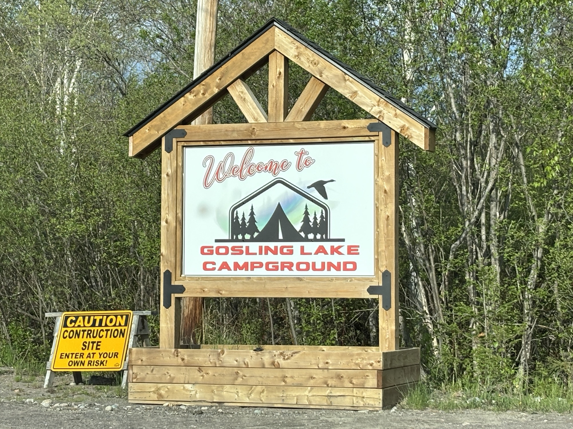
We selected Gosling Lake Campground in Goose Bay for our two-night stay in the area. It was a Dragon boat park and marina but was privatized recently and is being remodeled to handle RVs and campers. We got one of the new pads away from the lake but backed into the woods. Very nice spot with power and non-potable water. We were good to go.
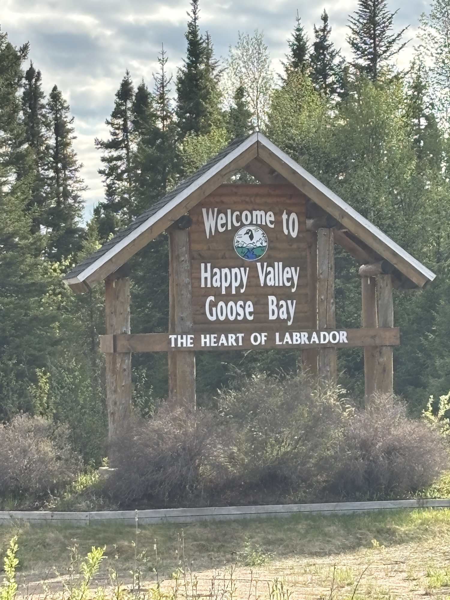
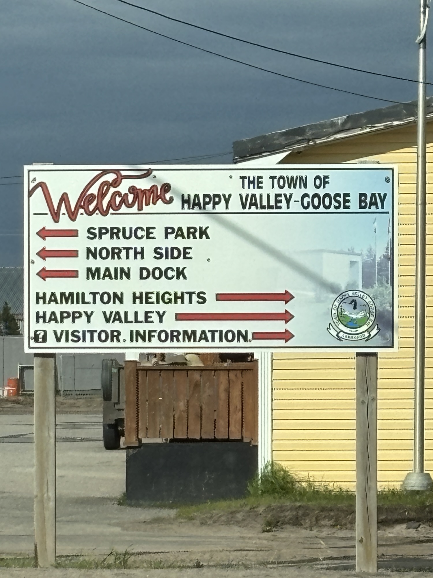
Historically, Goose Bay was the original town and was centered around the military base and airport in the 1940’s. It was also a major fuel depot for military planes and had several large fuel tanks around. So, in an effort to promote a safer area, the base resettled most families away and formed Happy Valley. Today it is one town with 2 names attached.
Another story we heard was that during the early days of the base, the soldiers got leave and would go off base for some refreshments, etc. And when they returned, they seemed quite Happy. So, the area got the nickname of Happy Valley!
Not sure which to believe but both are good stories.
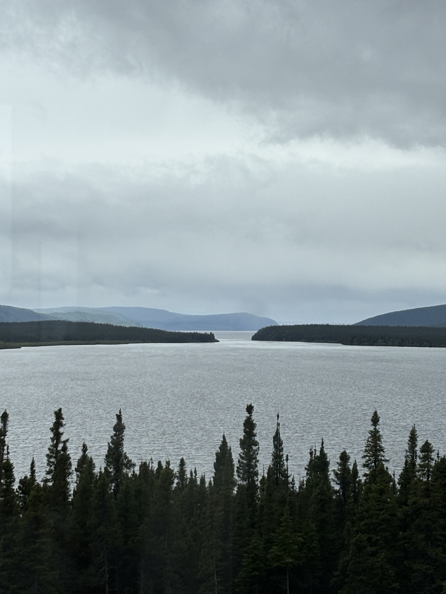
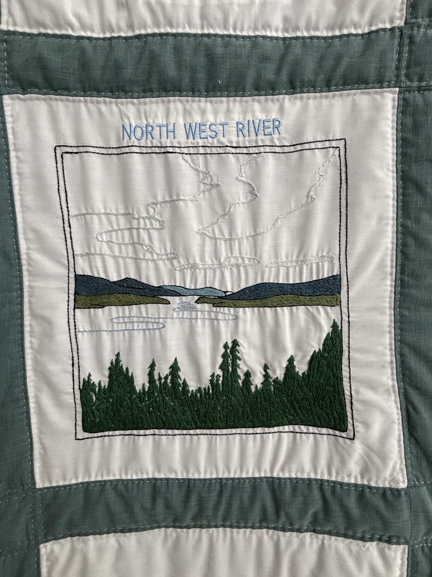
With just one day in the area, we picked North West River as a place to go visit. It was on the same road as the RV park and relatively close, so an easy drive and the staff at the RV park recommended a visit to the Labrador Interpretation Center while there. At the center, we met a volunteer who explained a lot of history about Labrador. He had been an English teacher in the town and other areas for over 40 years and was recently retired. We were the only ones in the center (after a group of kids from Churchill Falls had finally left) and we had his complete attention.
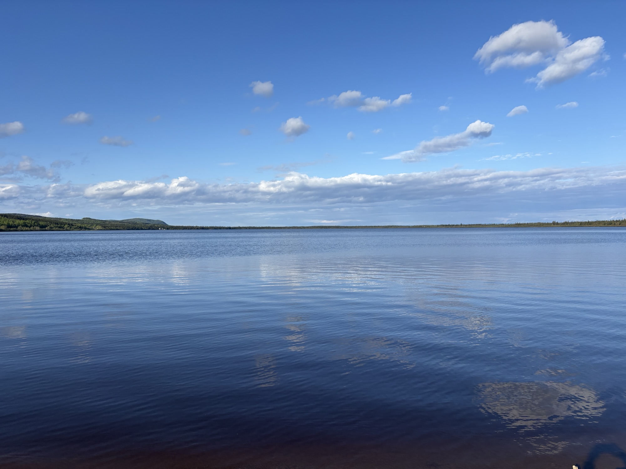
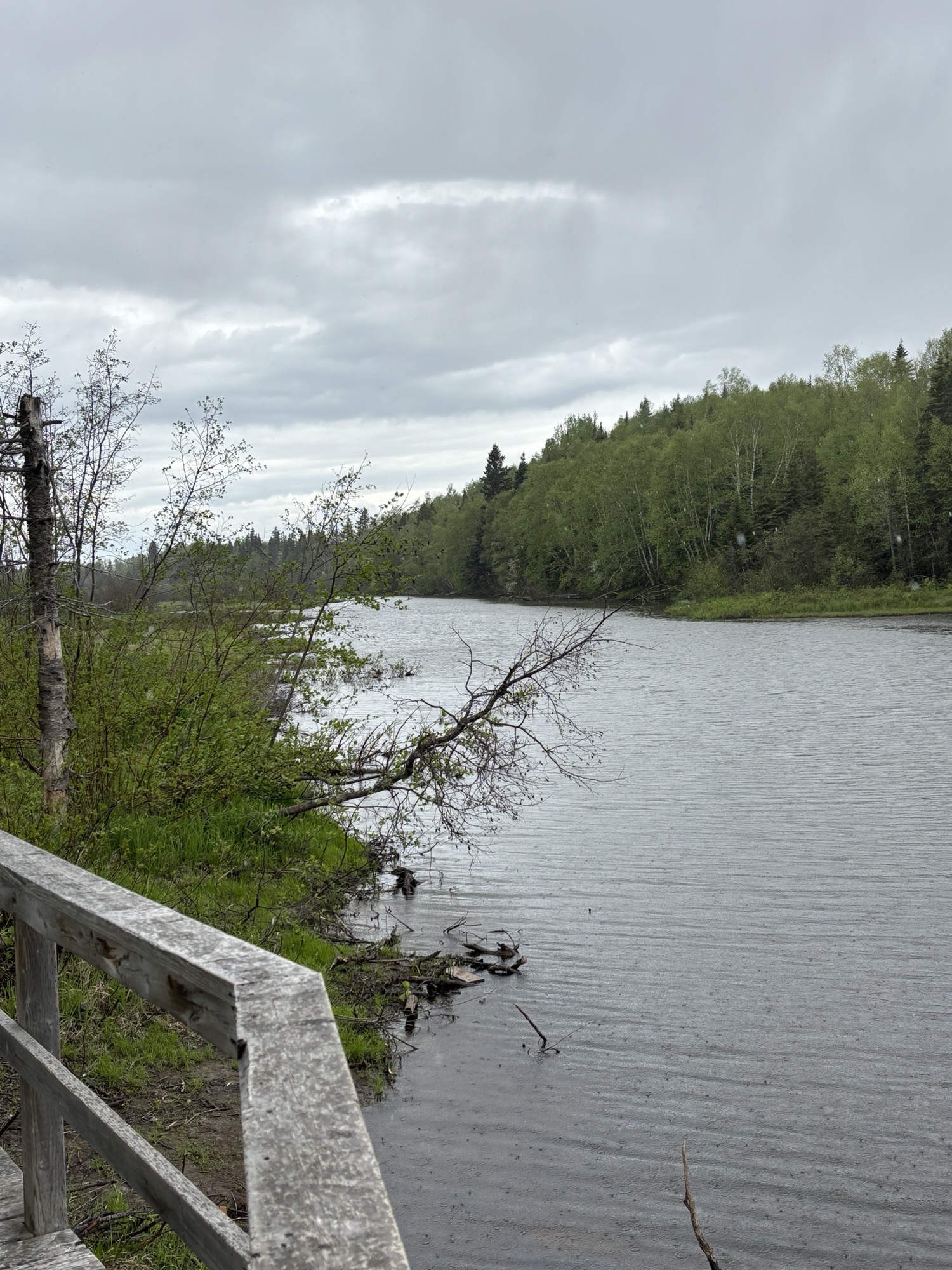
The first interesting fact was that even though Labrador has never had its own government or provincial status, but if it had then North West River would have been the capital. This small town, with a huge lake on one side and a huge bay on the other, was the gateway to the northern parts of Labrador and it still is. And for us it is the most northern point of this trip.
While there, we watched a 45 min movie about the Torngat Mountain National Park. The park is at the northern tip (almost 60 deg N) of Labrador and only accessible by air or ferry. And it is only open for a few months during the year. The movie showed the beautiful fjords and mountains in the park. Very interesting.
One more thing. There is a TV reality show called “Alone” where people must survive in extreme conditions for the longest time to win. William Larkham Jr. from Happy Valley won the season 11 show by surviving 84 days in the Arctic. He was allowed to take 10 items with him besides clothing, and these items are on display at the center. Really cool. And the city is very proud of him.
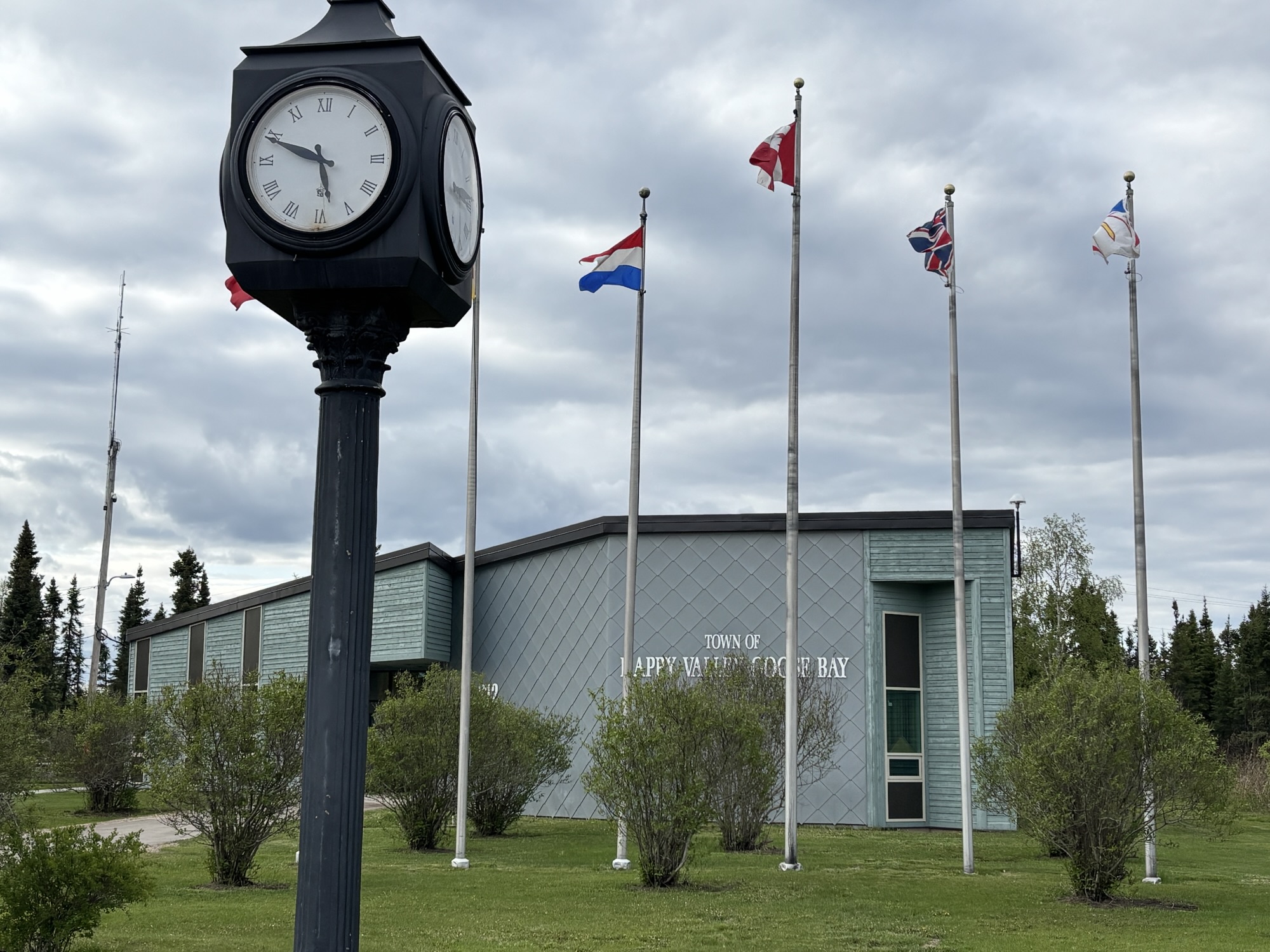
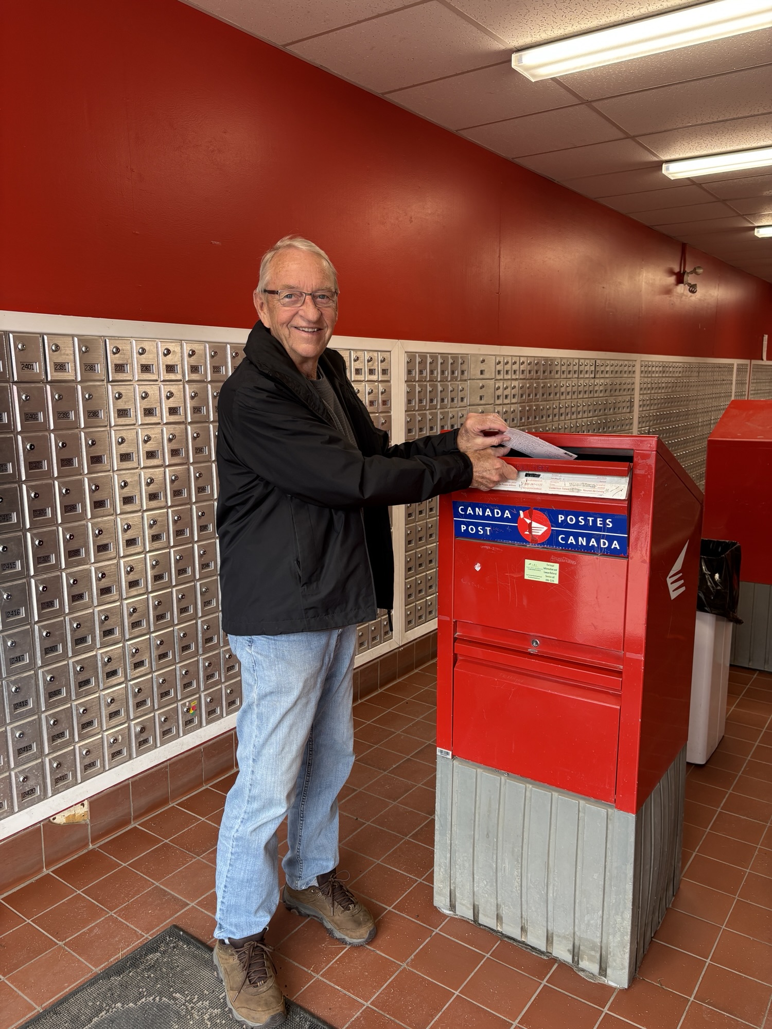
Back in Happy Valley, we did some exploring, mailed Mom a postcard and found the laundromat in a residential area of town. While there, a RV couple from Utah came in and we shared tales of our trips. They were heading east where we had been, and we were heading west! Nice visit and clean clothes!
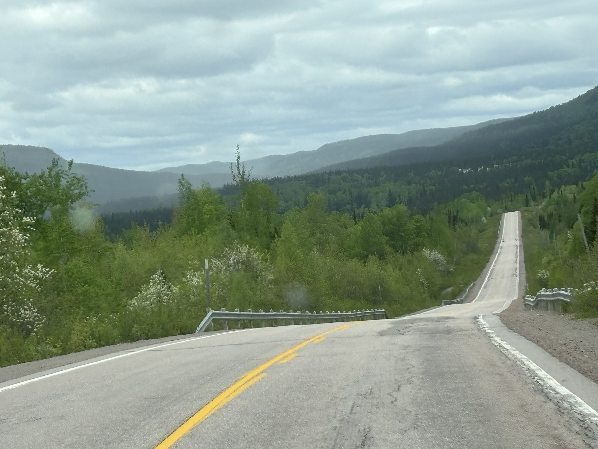
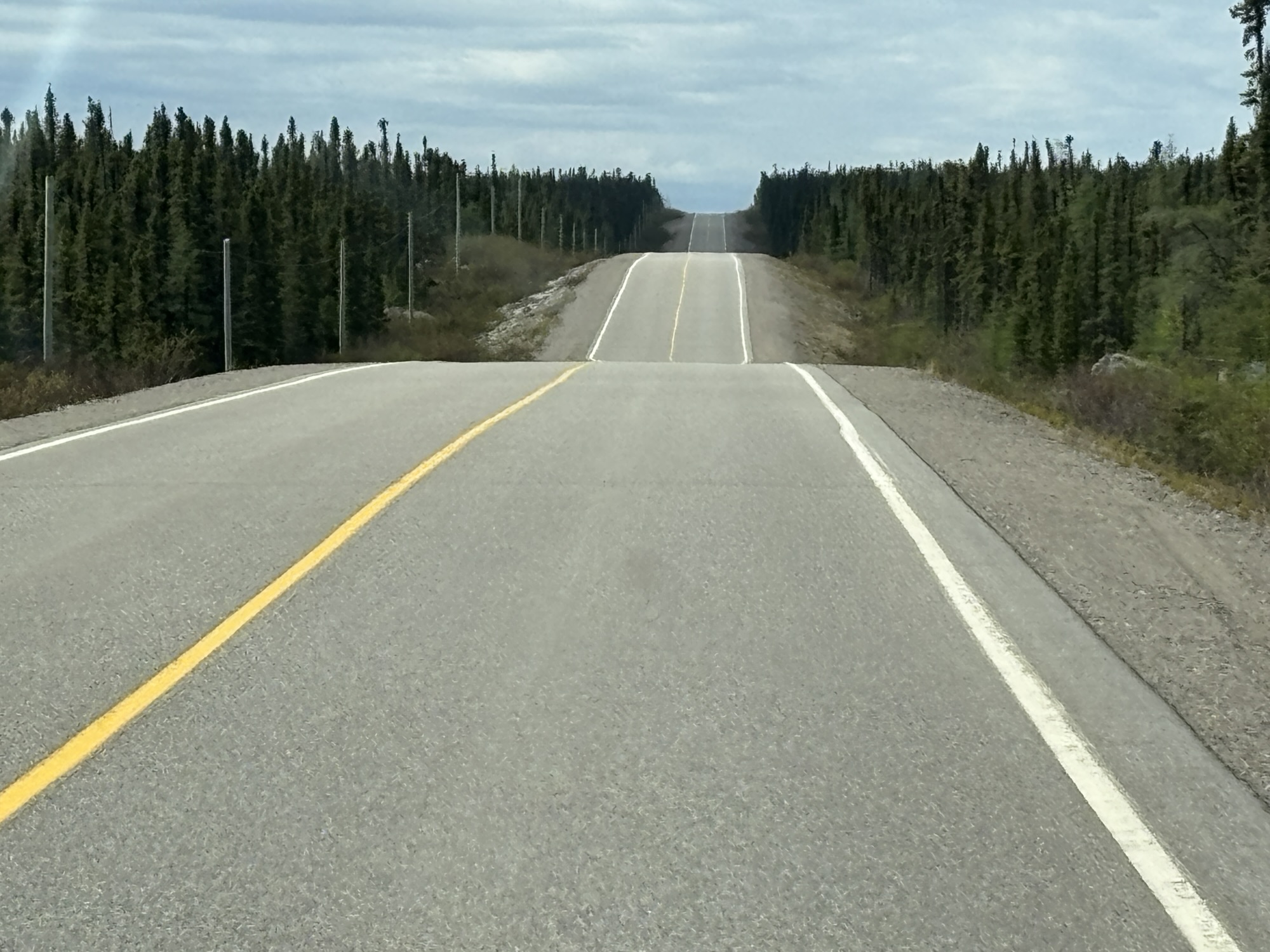
The next day we were off to Churchill Falls, about 180 miles west on the TLH but now it was Hwy 500. I could post a lot more photos because it was another drive with great scenic vistas (but no service). The highway was not quite as good as the last leg on Hwy 510 but still very easy. If Hwy 510 was a 10, this section of Hwy 500 was a 9.5!
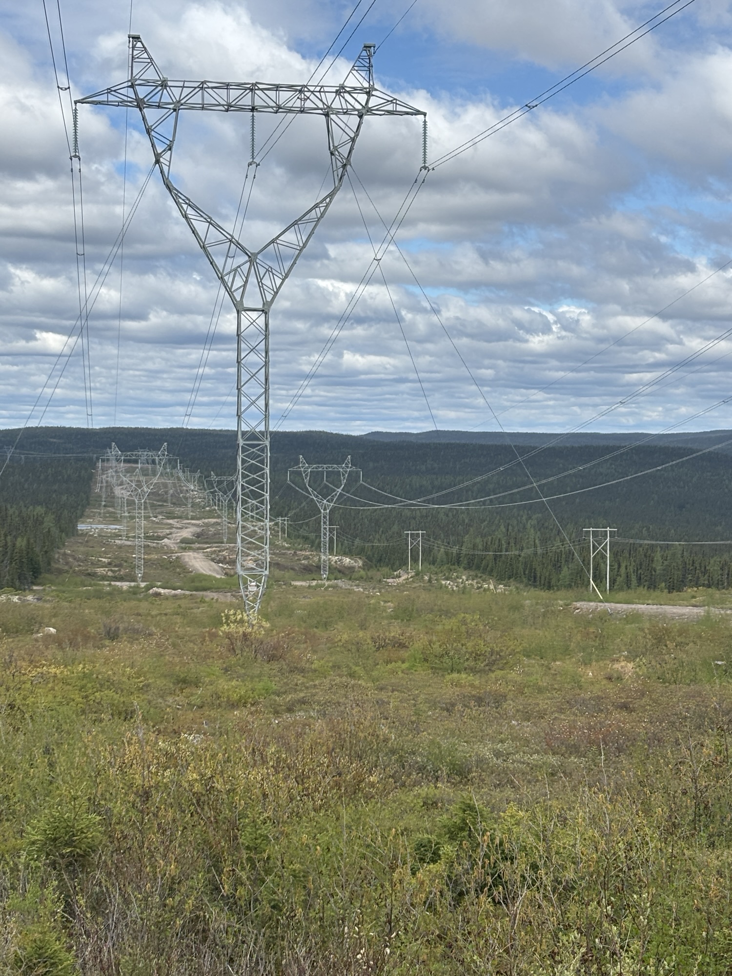
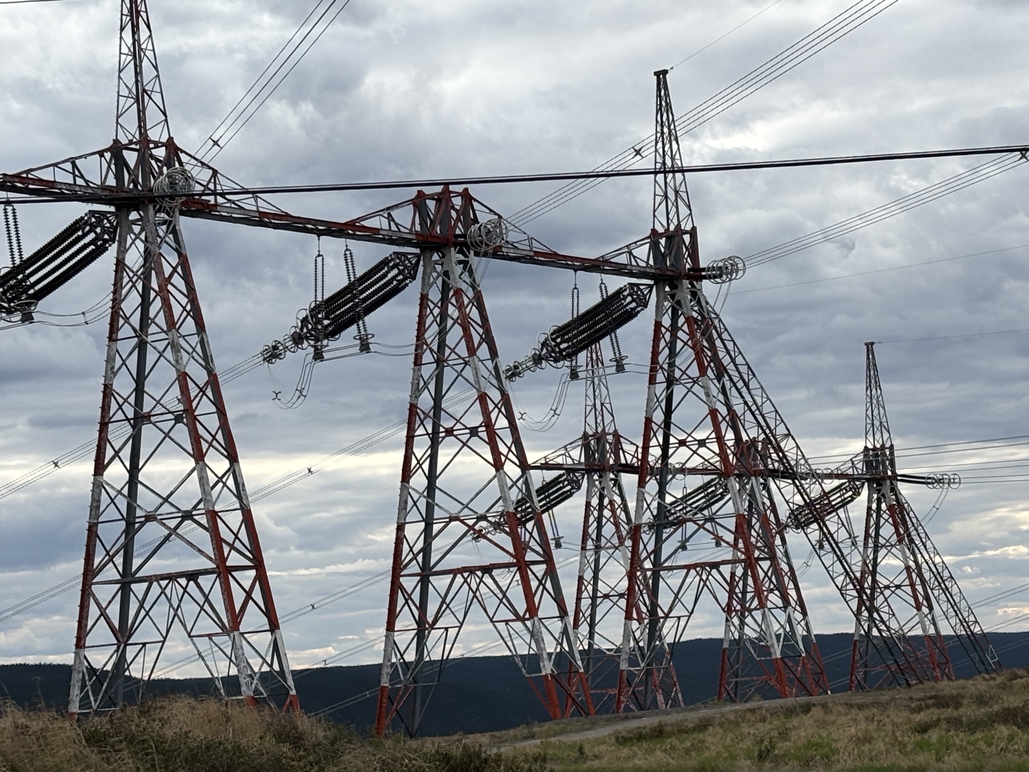
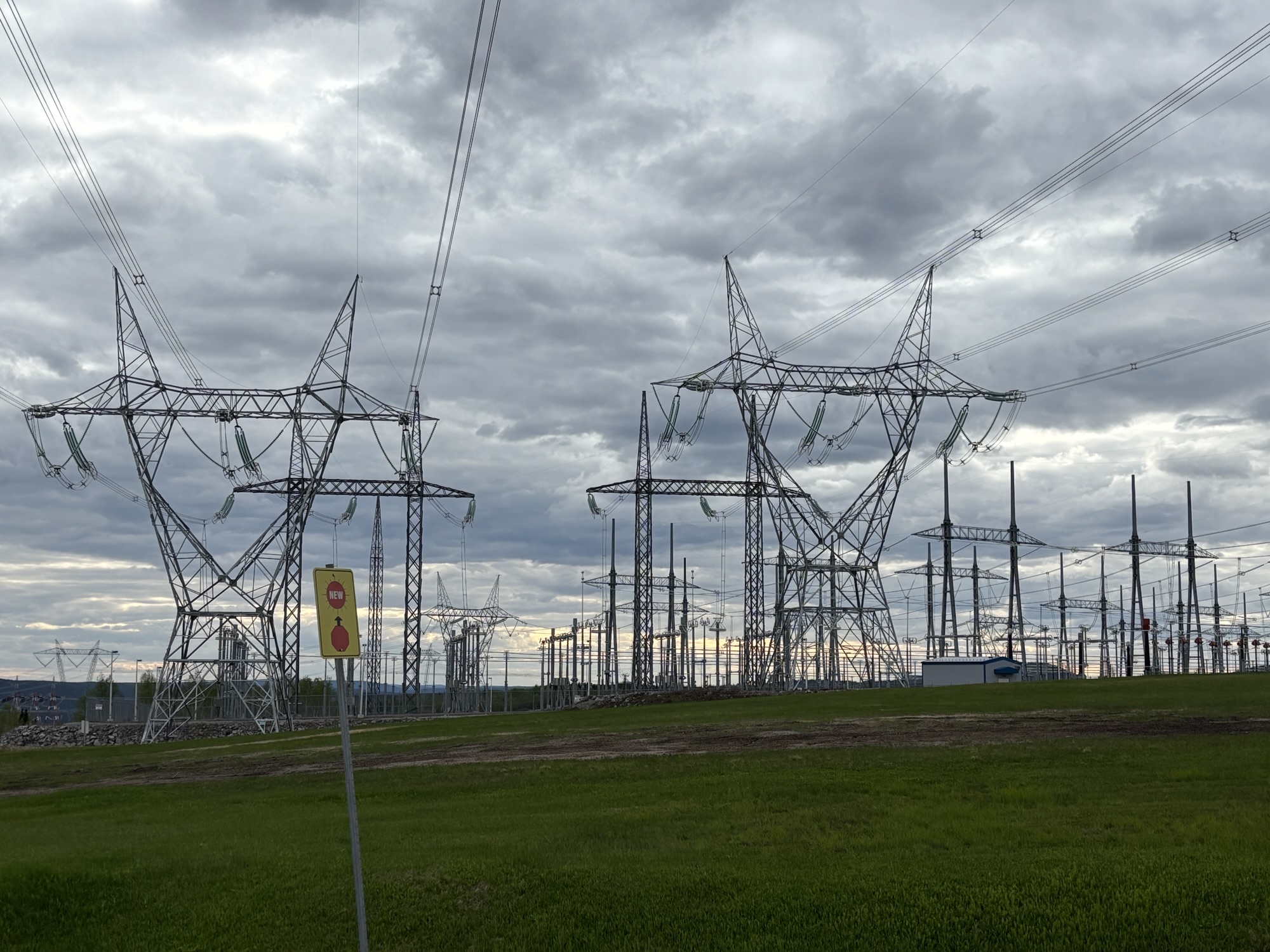
One thing to mention is the appearance of the high voltage power lines. Churchill Falls is famous for the electric generation that uses the waterfall power from the Churchill River. The big power line towers started showing up almost immediately and 180 miles from the generator.
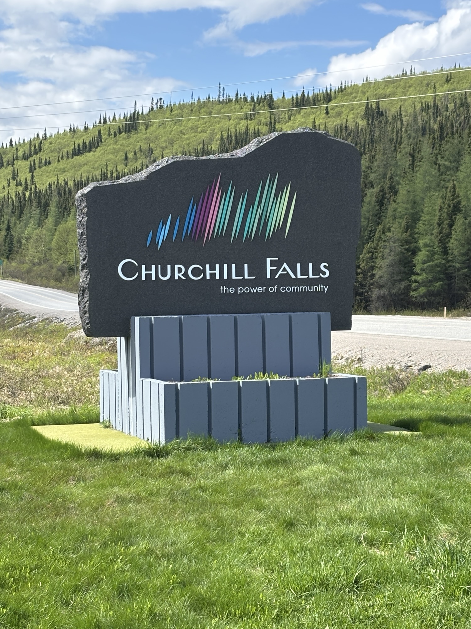
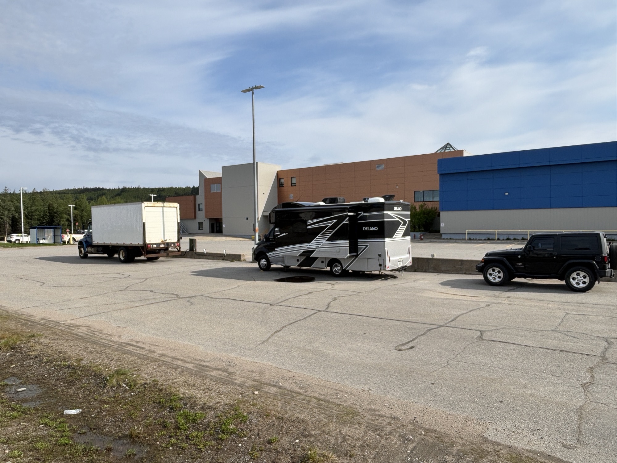
Our stay in Churchill Falls ended up being at the Community Center which houses a hotel and grocery store. There is no official RV park. We could have stayed at the Sports Arena but chose the Center even though the grocery store closed before we could get there and did not open on Sundays.
However, the parking was free. And in the parking lot, there is 15A power receptacle at almost every parking spot. In the winter, people use the power to plug in their car’s oil heater to keep the oil warm enough to start the car after sitting in freezing temps for long periods. We weren’t worried about our oil and happily settled for the free electricity!
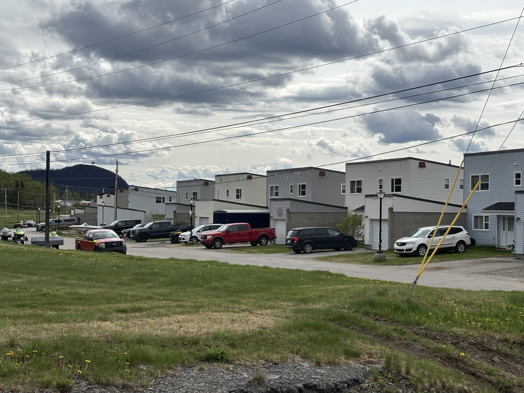
The layout of the city is in rows as you might expect with company housing. There were small stand-alone homes obviously the same design, apartments, barracks, and condo type homes.
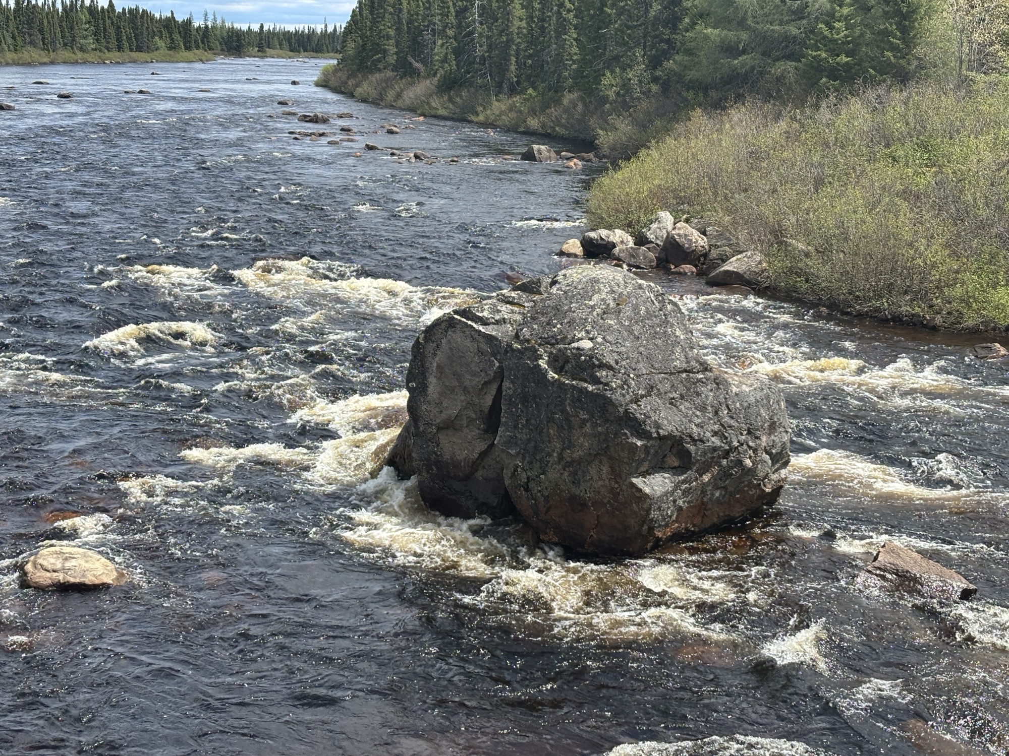
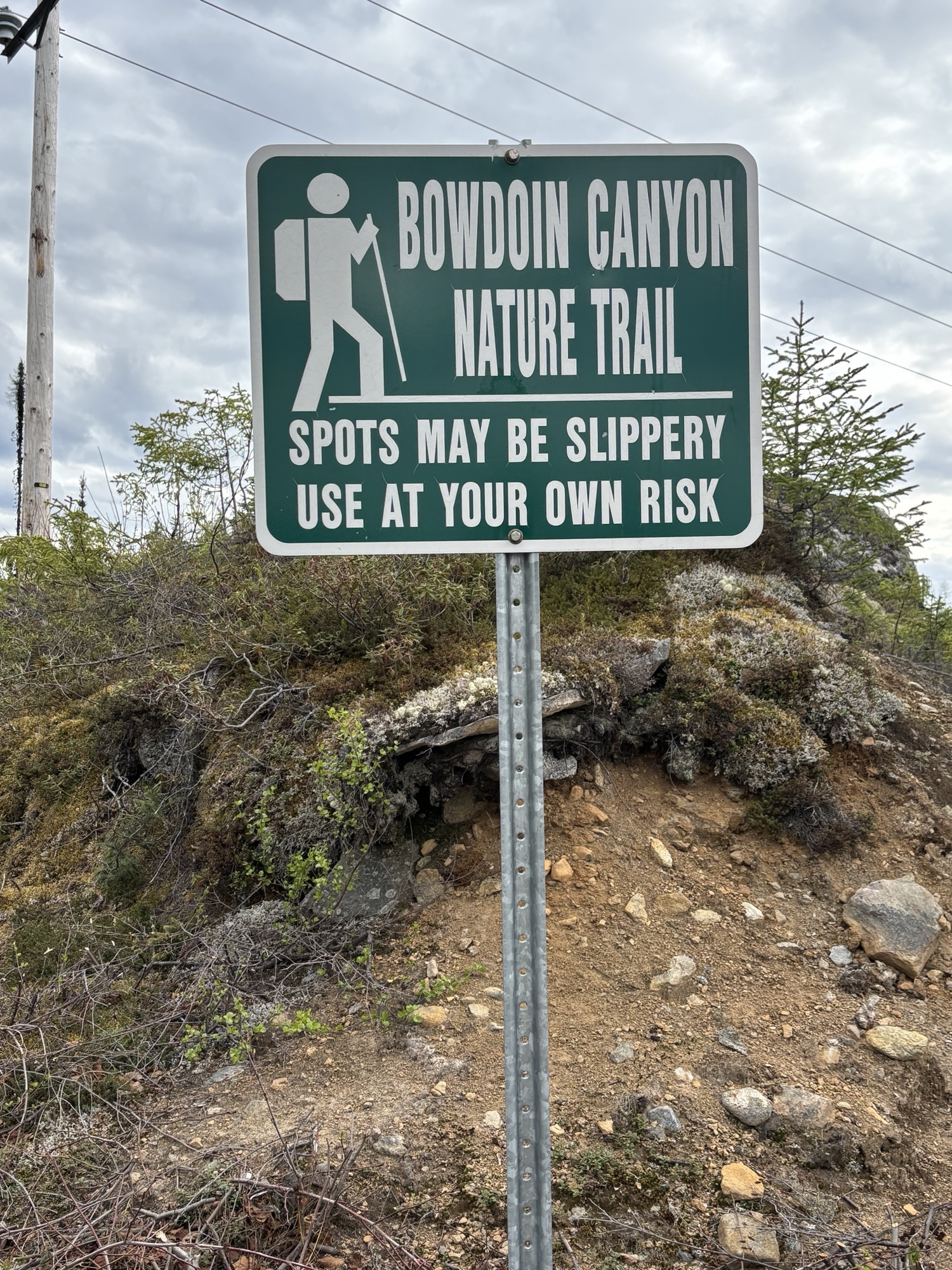
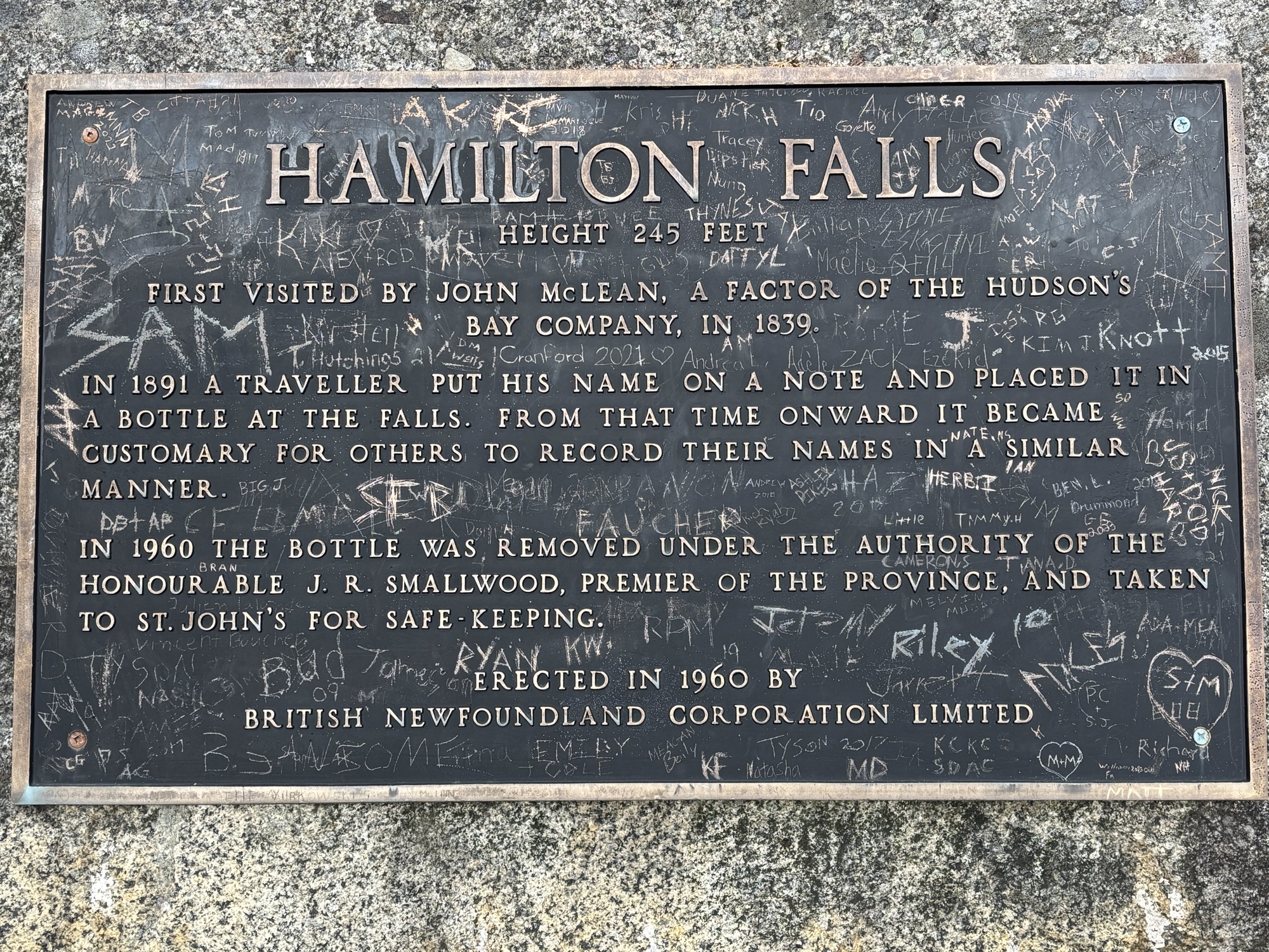
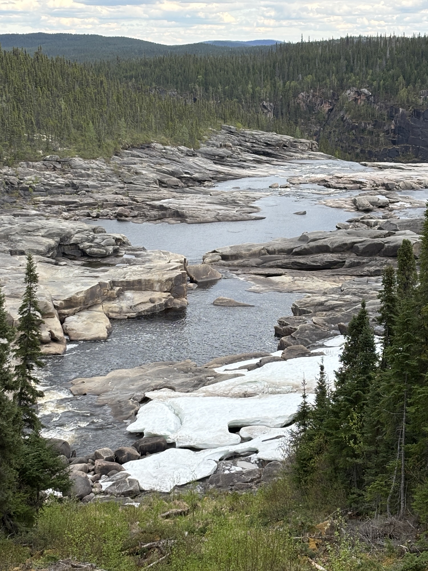
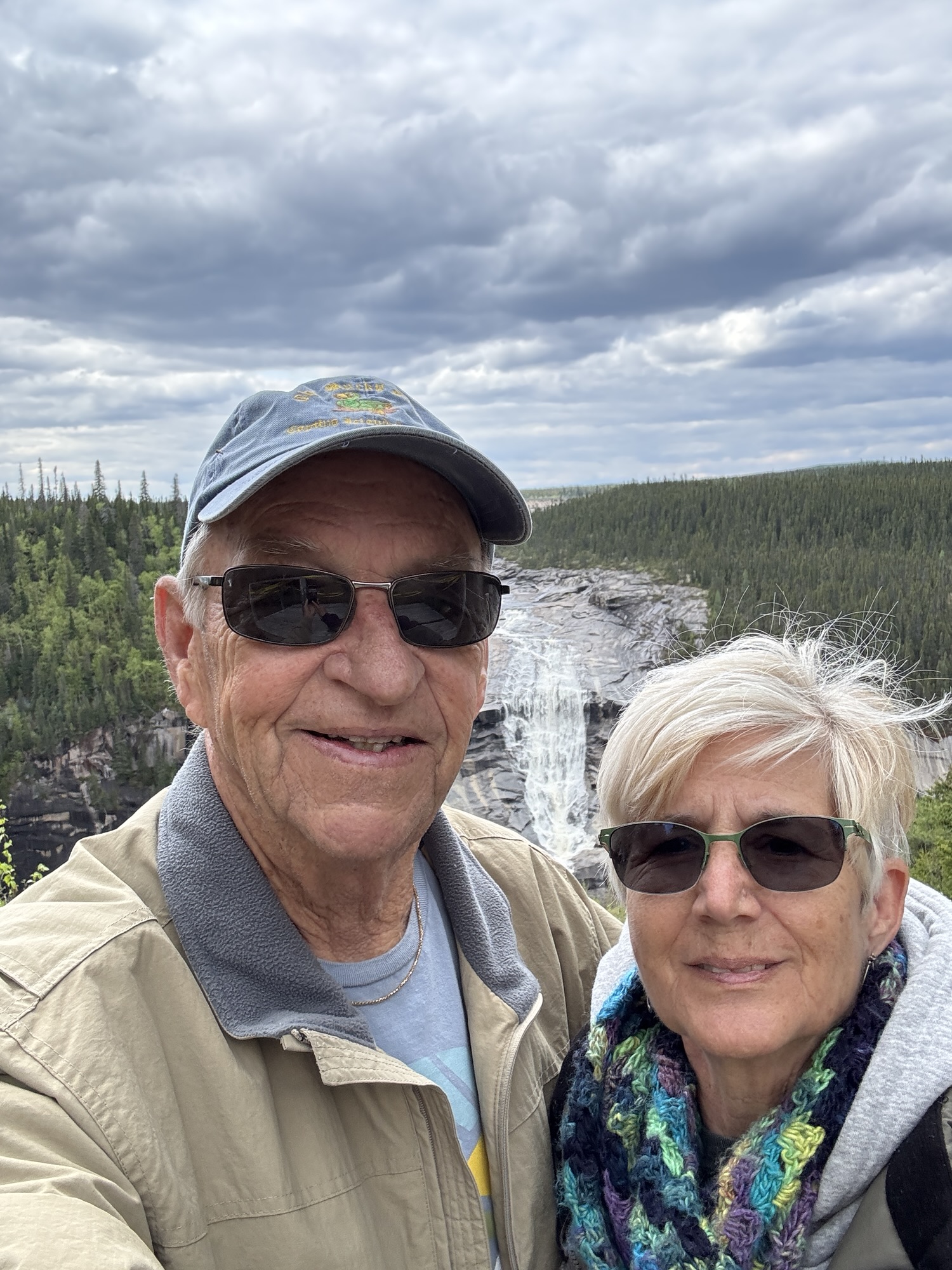
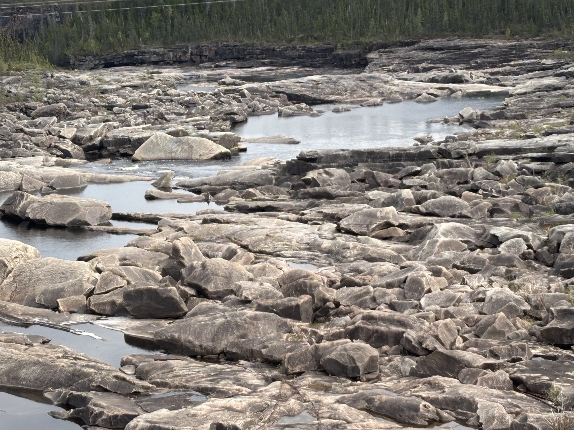
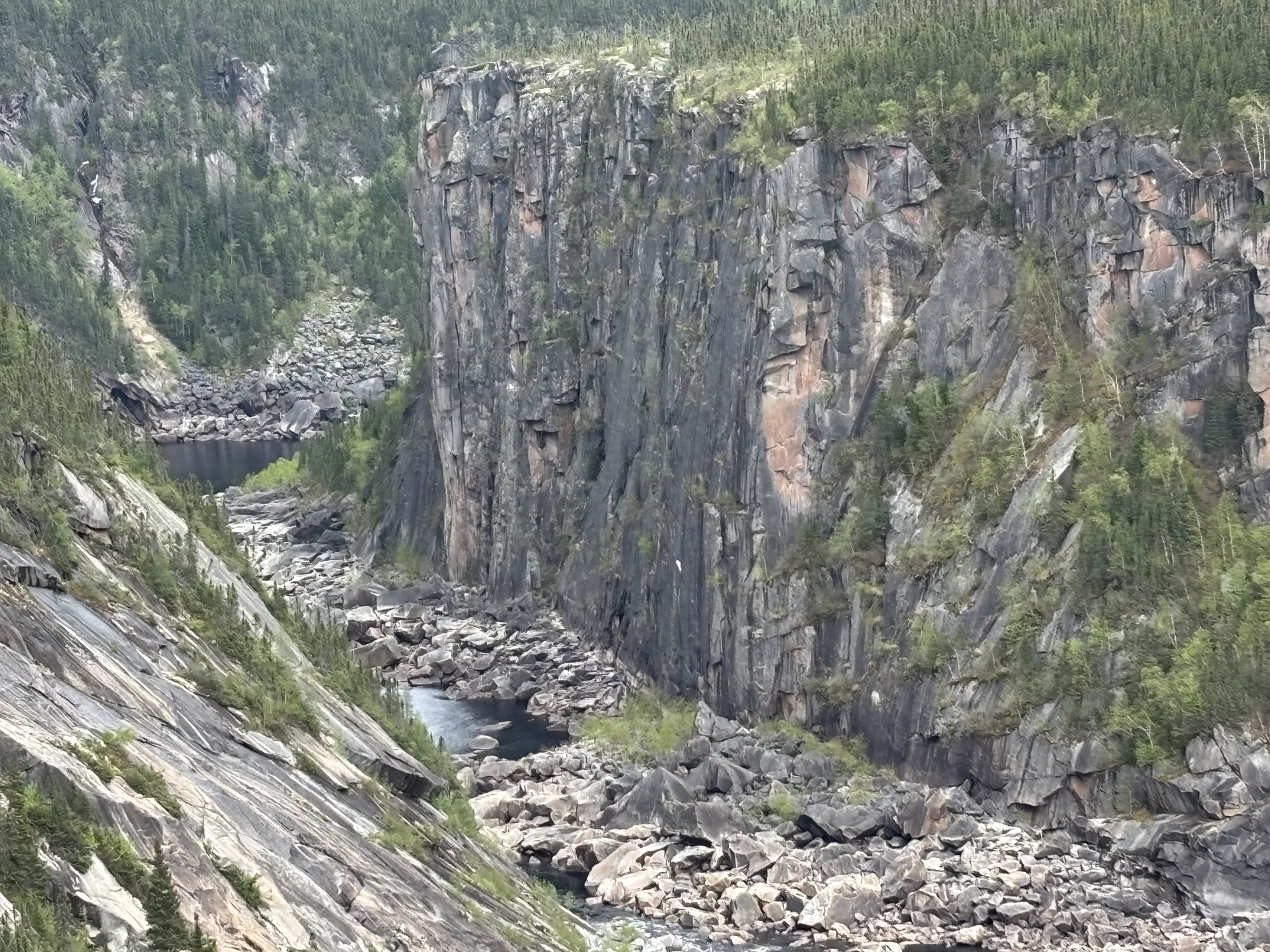
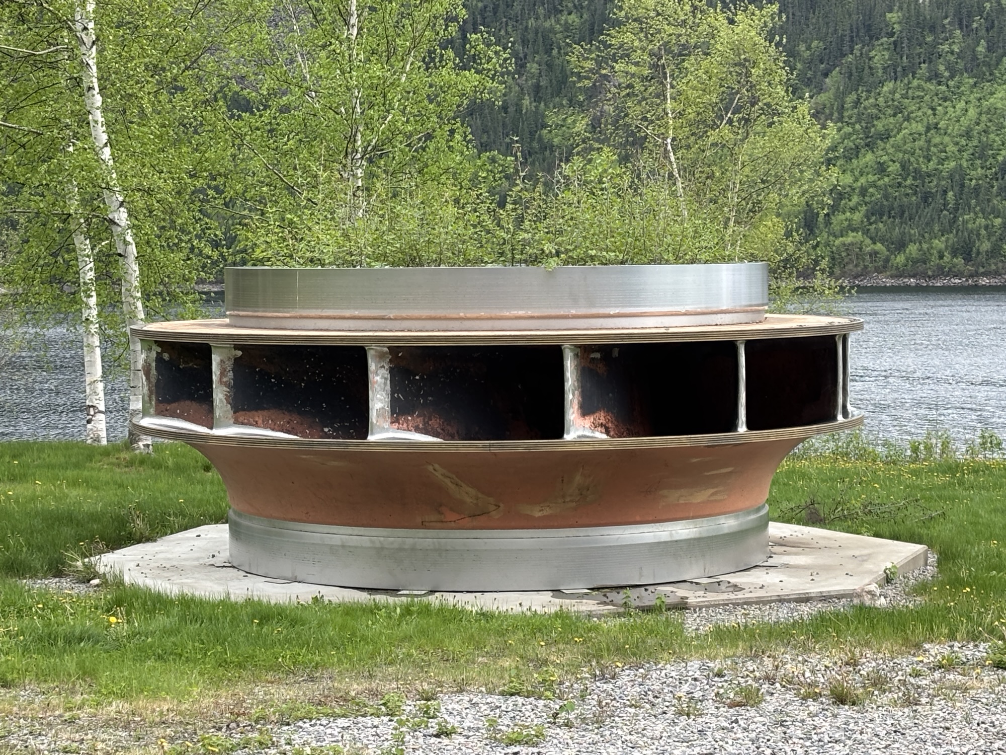
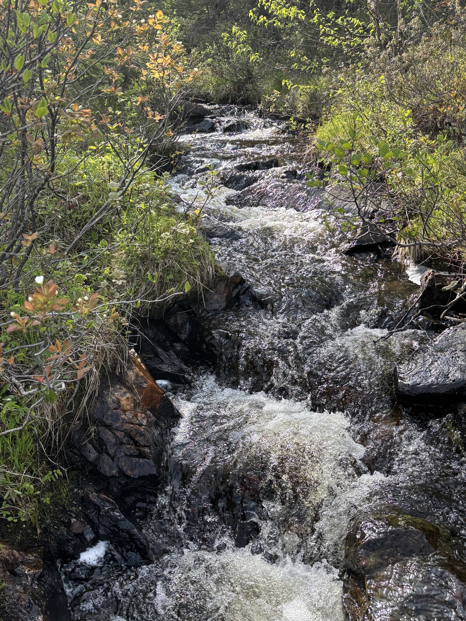
Once powered up, we took off to find the real Churchill Falls. Or as we found out, what was left of the falls. The electrical hydro generation took the majority of the water from the waterfall, and it is estimated only about 10% is what you see now. The hike was not hard, and it did work around and across the gorge to see the riverbed and the falls that are left. It is still an amazing sight to just imagine how it must have looked.
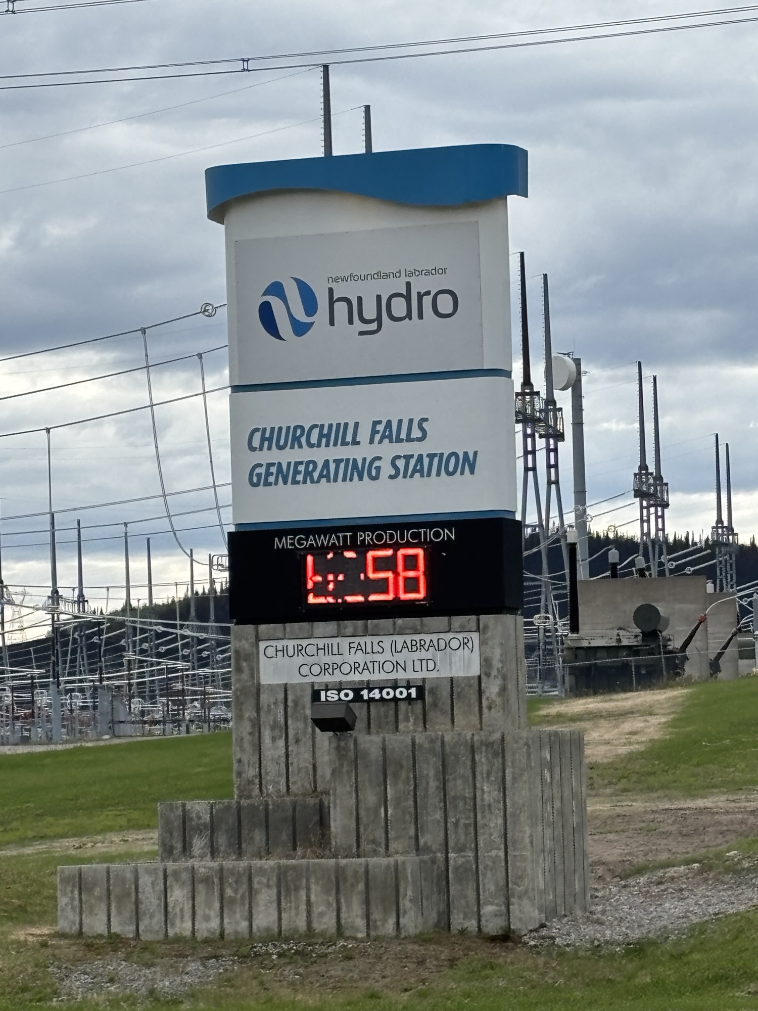
The water was dammed up about 20 miles toward the Churchill Falls city hydroelectric plant and then drops to the turbines about 1000 feet underground. We drove out to the plant just to see what we could and didn’t expect to get in. But we did stop a worker who was just leaving, and he explained a few things about the operation.
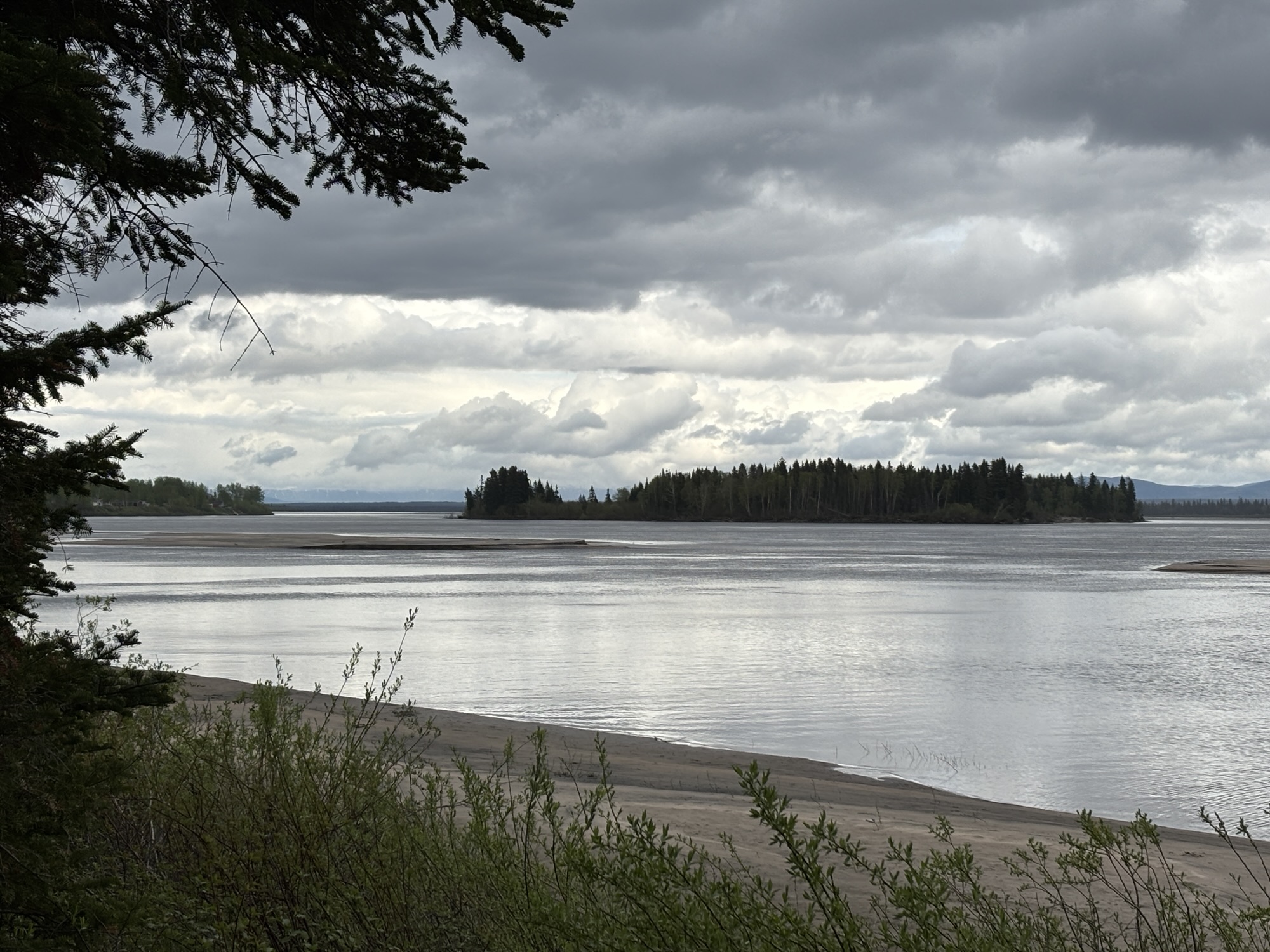
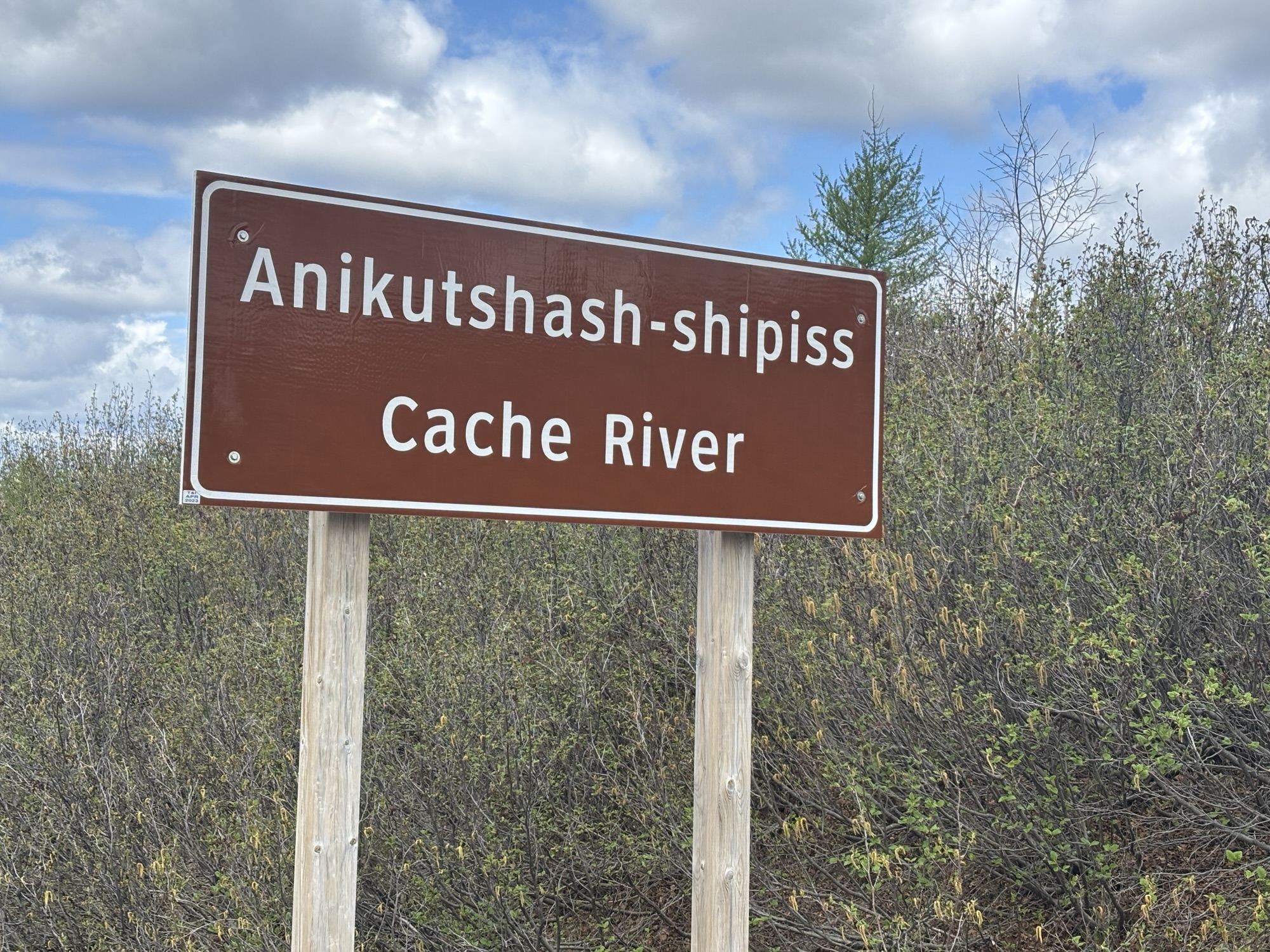
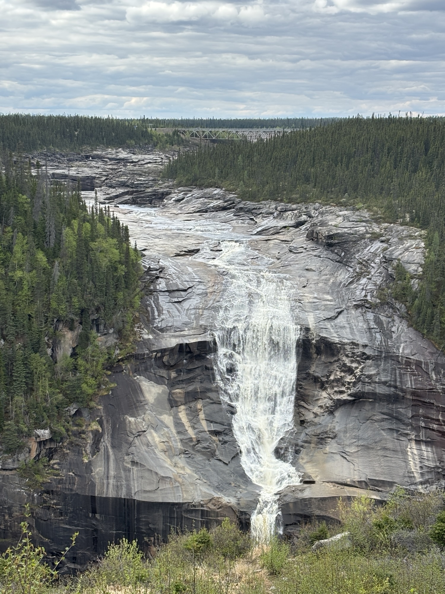
Then we drove down to the Tailhead Park on the river where the water comes out of the turbines. The river was flowing much faster than we thought it should and then realized why. BTW, the Churchill River runs across Labrador, through another hydro dam at Muskrat Falls near Happy Valley-Goose Bay, and ends up in North West River and Lake Melville where we were three days ago.
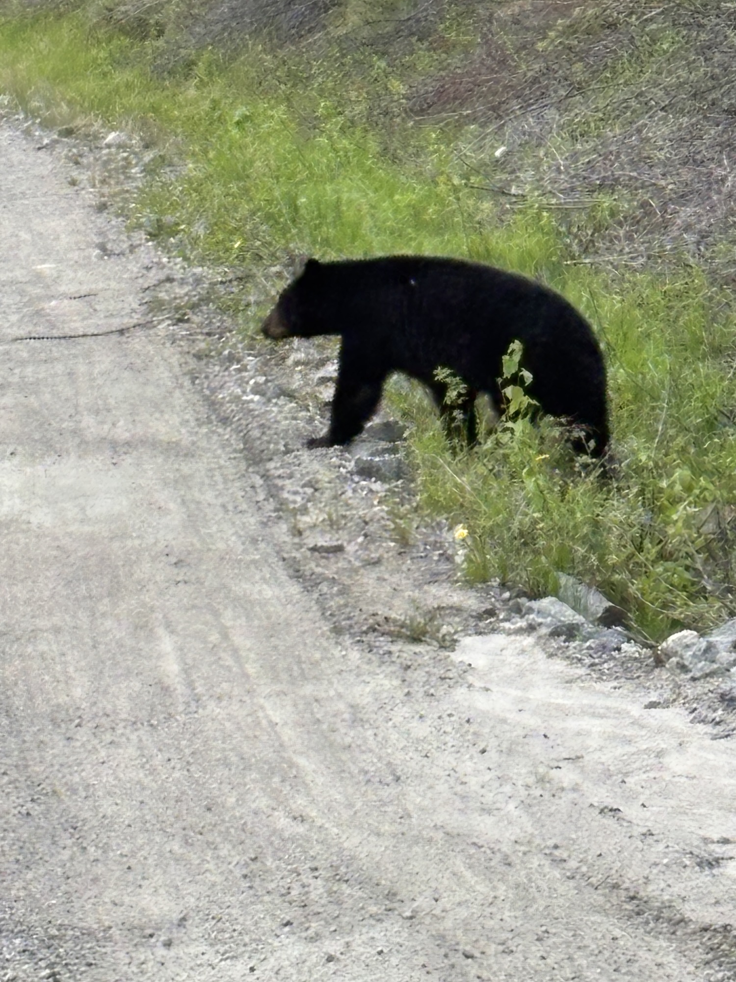
And on the way down to the park, we spotted a small black bear on the road! Our first. He hid for a while then decided to cross in front of us for a photo shoot!
And on the way back up, a large red fox ran across the road but didn’t pose for us at all. But a bear and a fox in one day!

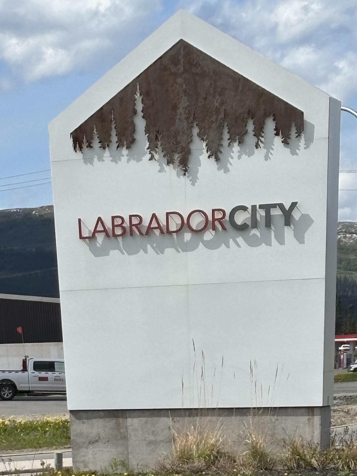
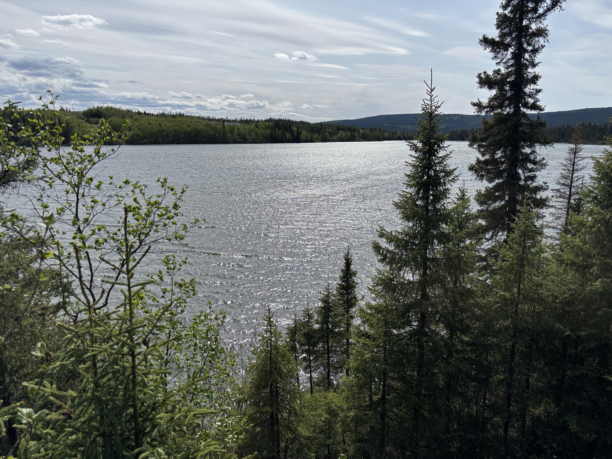
The next day we were off early for Labrador City and the end of our time in Newfoundland and Labrador! This leg was about 150 miles, and the portion of Hwy 500 was not as good as the first. I would give it an 8.5 with expansion cracks and large dips. But overall, it was a decent paved road, with nice scenery and lakes. The closer to Labrador City, the more lakes.
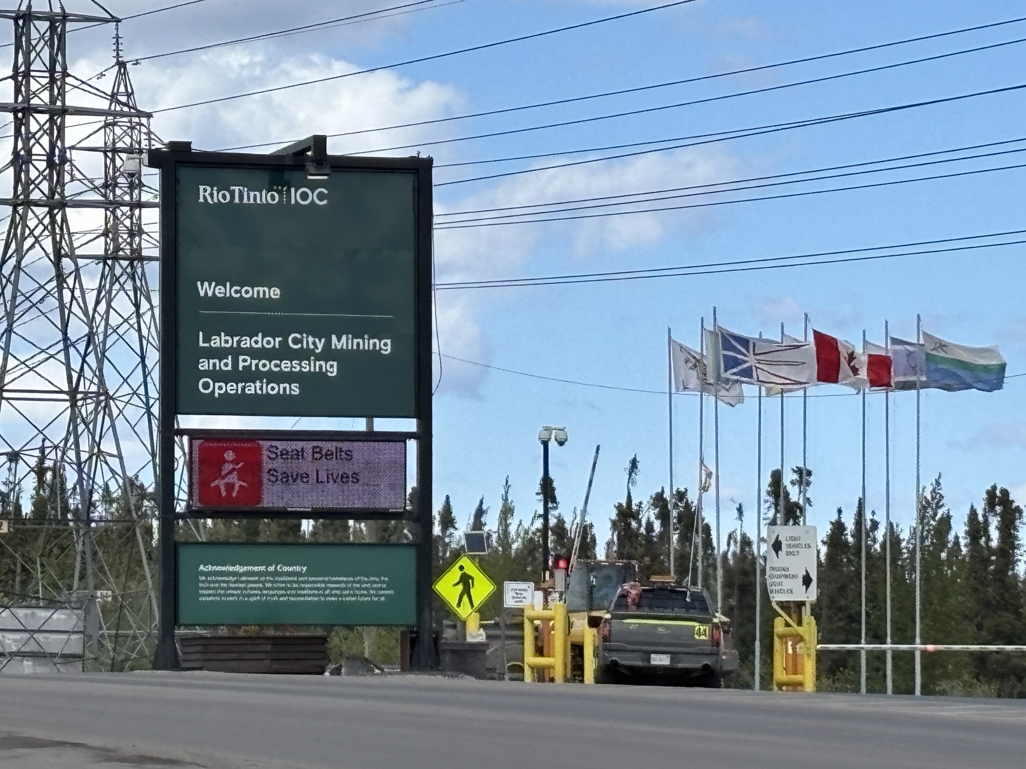
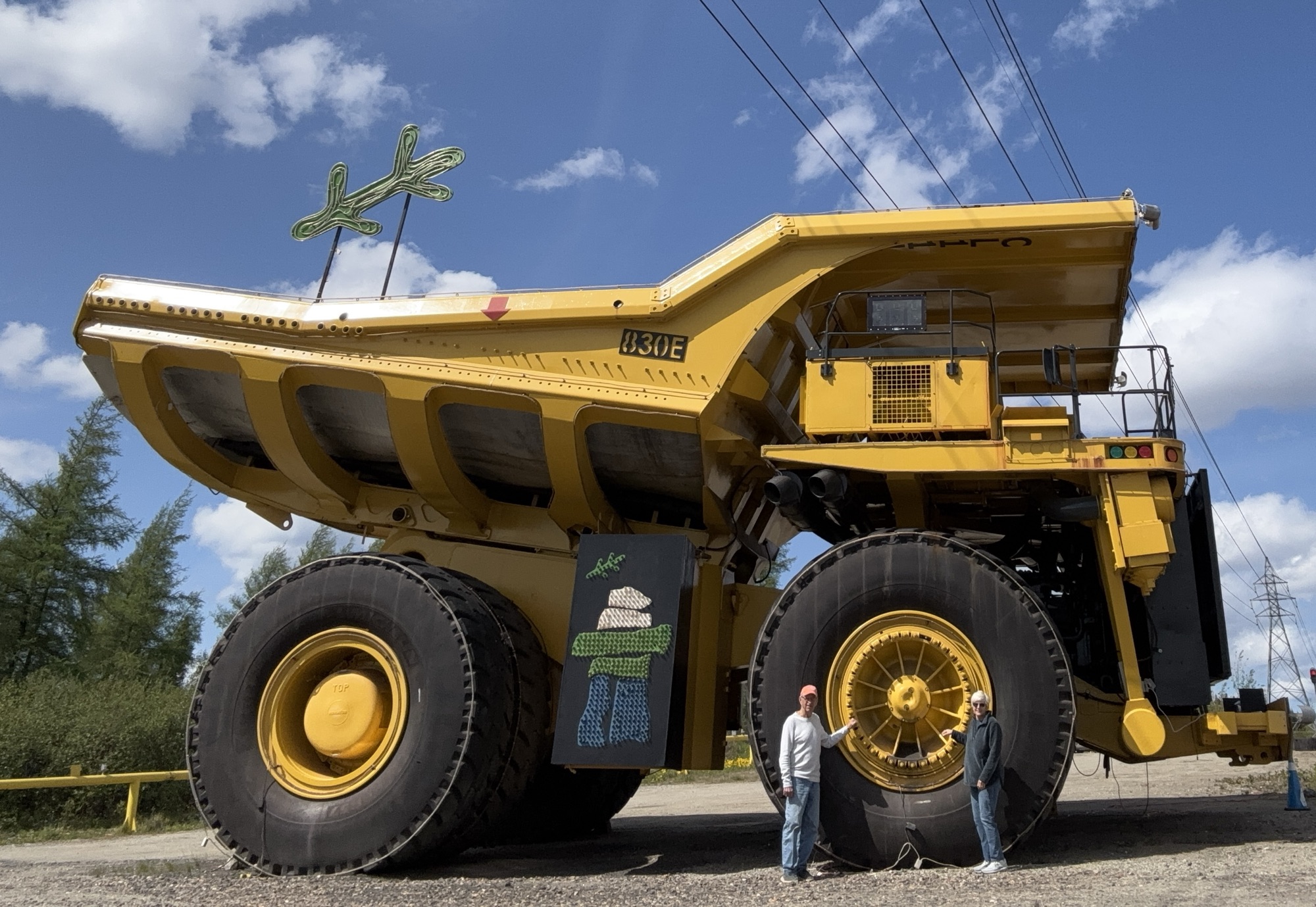
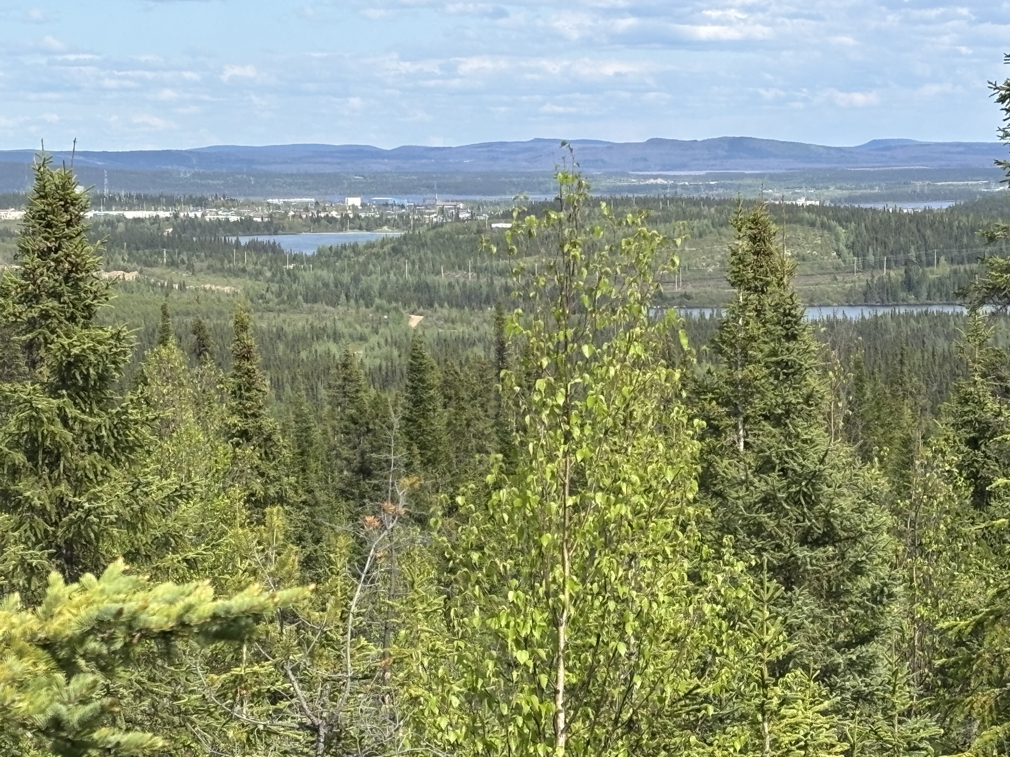
Labrador City is a famous town for iron ore mining and processing by Iron Ore of Canada (IOC). And the town was laid out and built for the company employees and contractors (similar to Churchill Falls) during the initial construction. The first load of ore was loaded aboard a ship on the coast in 1955. So, it has a good long history.
We met a lady at a restaurant the first day who works at the mine. She said that on top of the first 70 years of success, the company has about 20 more spots to process as well so it will be around for a while. You can’t see the actual mine, but we did stop at the mine entrance for some photos!

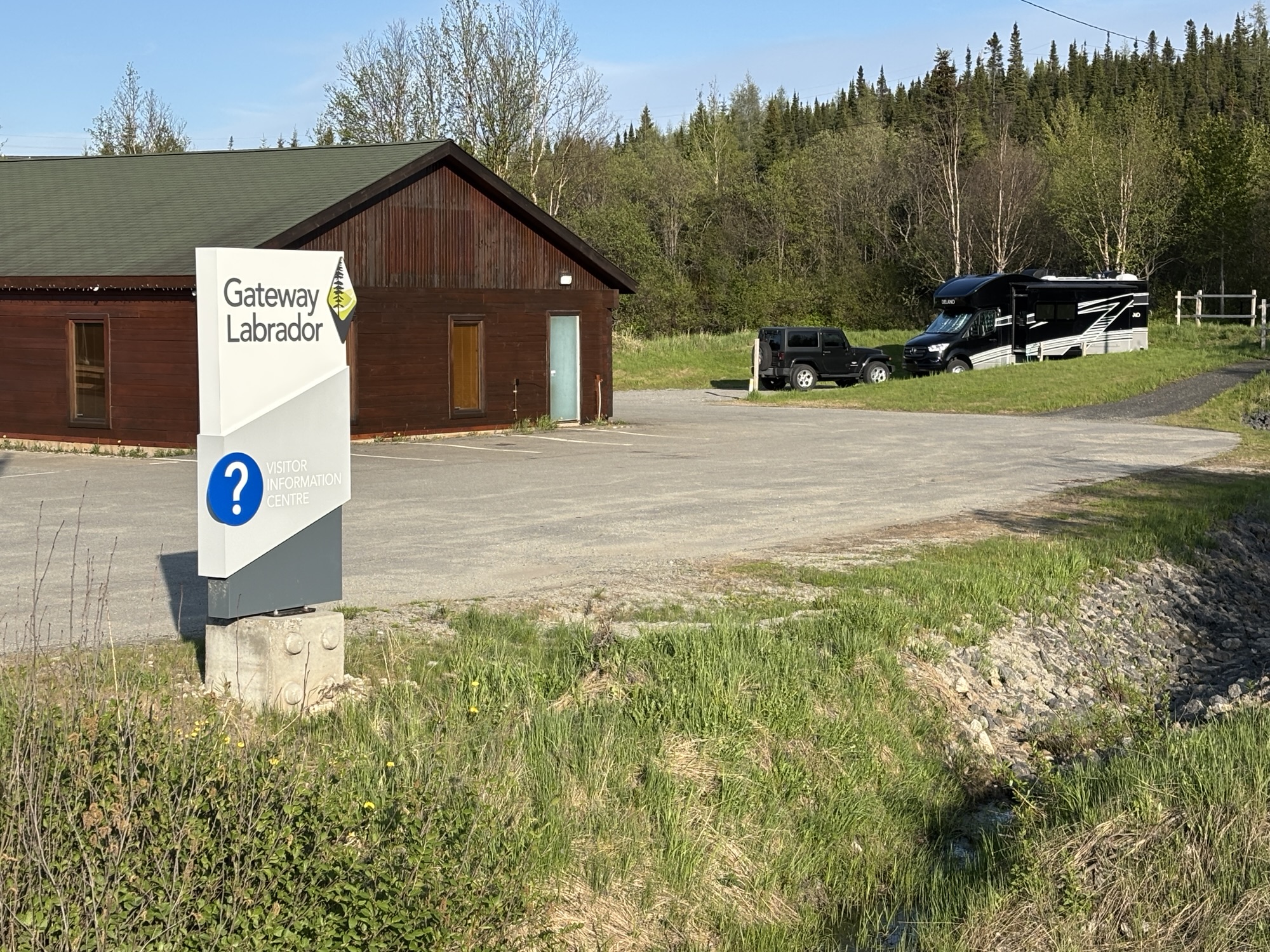
We had selected the Gateway Labrador visitor center to park. We were there for two nights and were grateful for full-service hookup after several days of only marginal services. And the Center had a photo history and museum about the mining and the city. We spent several hours there including a 20-minute video about the steps for the mining, processing, transportation and shipping of the ore.
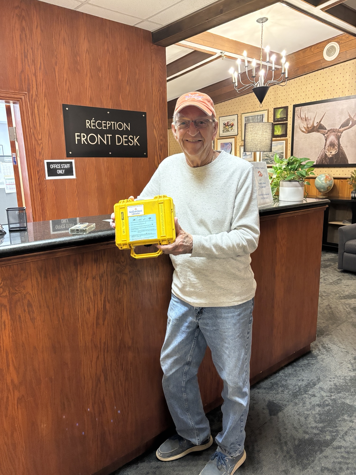
Since we would be crossing into Quebec when we left Labrador City, we returned the sat phone and were glad that we didn’t have to use it!
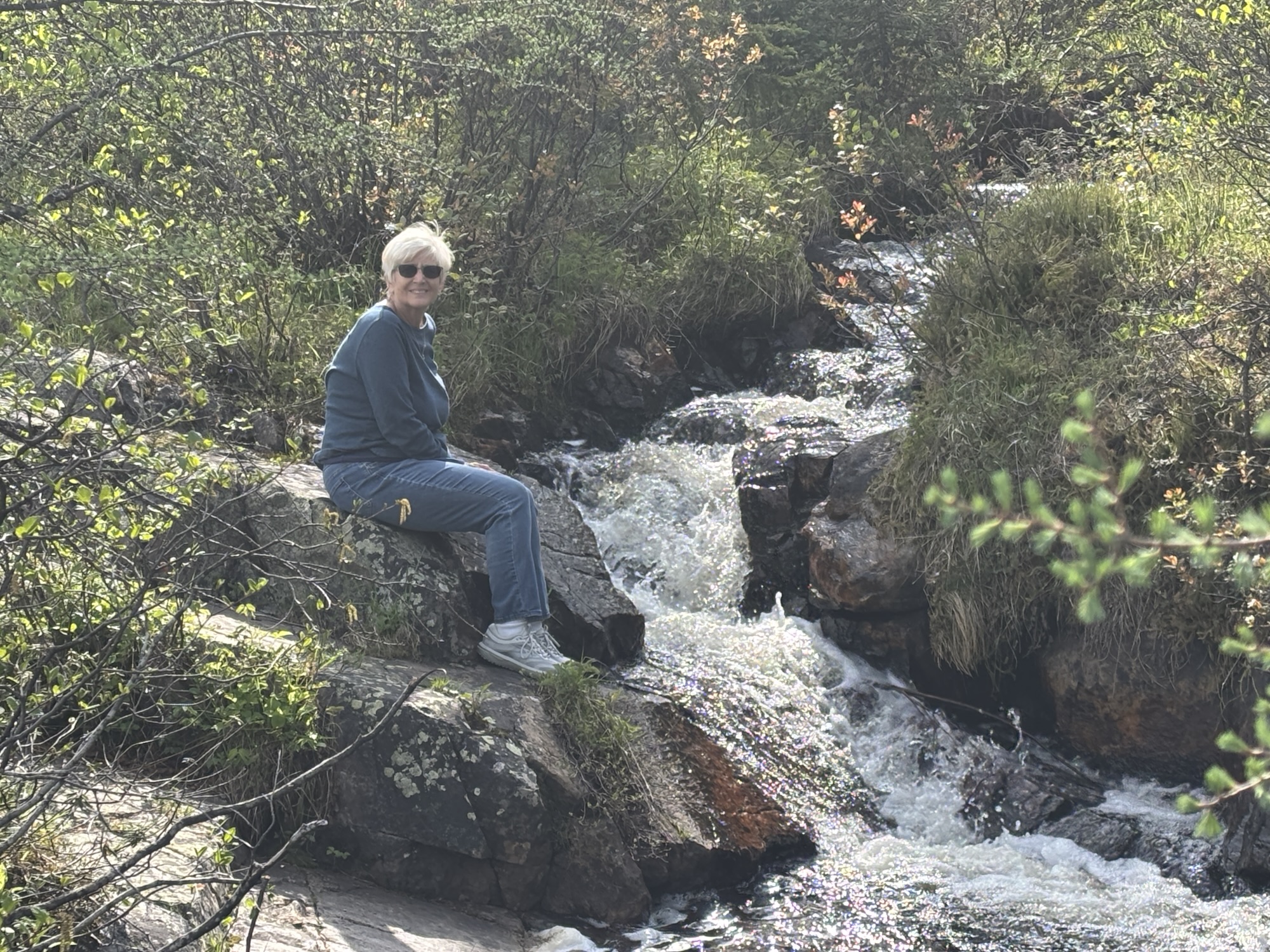
We took the extra time to do some nature hikes around the neighborhood lake and up to two waterfalls. Very nice and good walks. And discovered a WalMart!
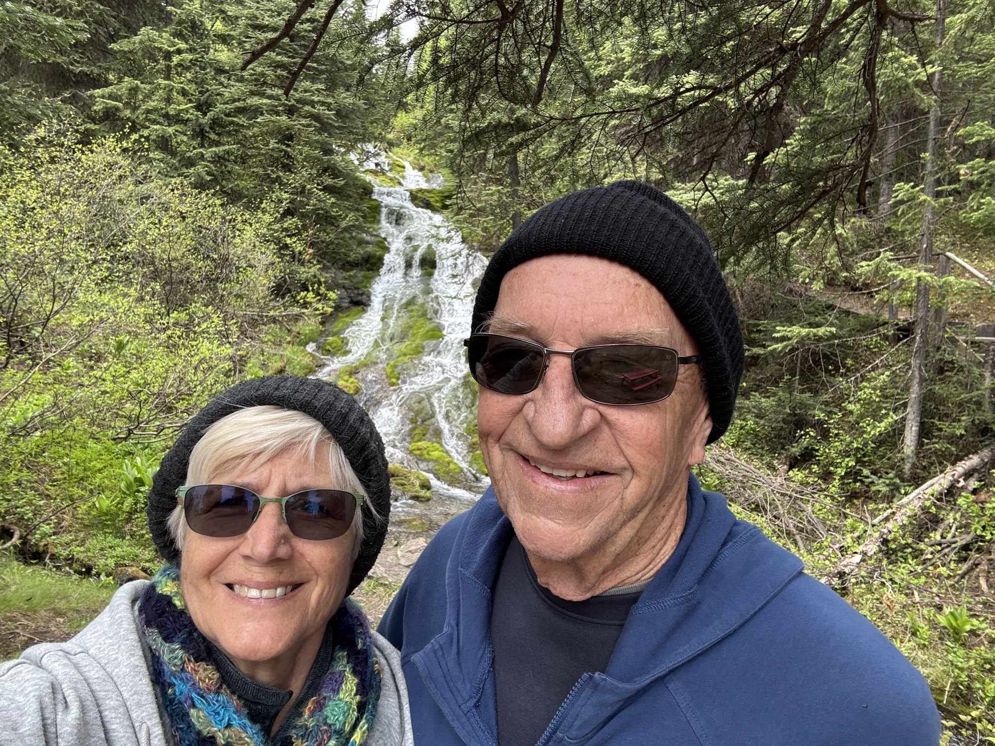
A good rain that evening and bright sunshine the next morning as we bid Newfoundland and Labrador farewell. We will always have good memories and might even try to come back to see some whales!
Now on to Quebec and Part 3 of the TransLabrador Highway saga. Viens avec nous!
