Leaving our little hideaway in Trinity, we headed out for the 200-mile drive to Twillingate up on the north shore peninsula to the west of Bonavista. It was raining and foggy as we left and it stayed that way all day. Looking back on our trip blog from the same highway last year, it said quote “It was a rainy, dreary day but perfect for driving the 130 miles mostly on the TransCanada Highway 1.”
A note here. Newfoundland is famous for its fog. The cold Arctic winds come down and mix with the warm air of the Atlantic Gulf Stream (from Florida!) and create a lot of foggy weather.
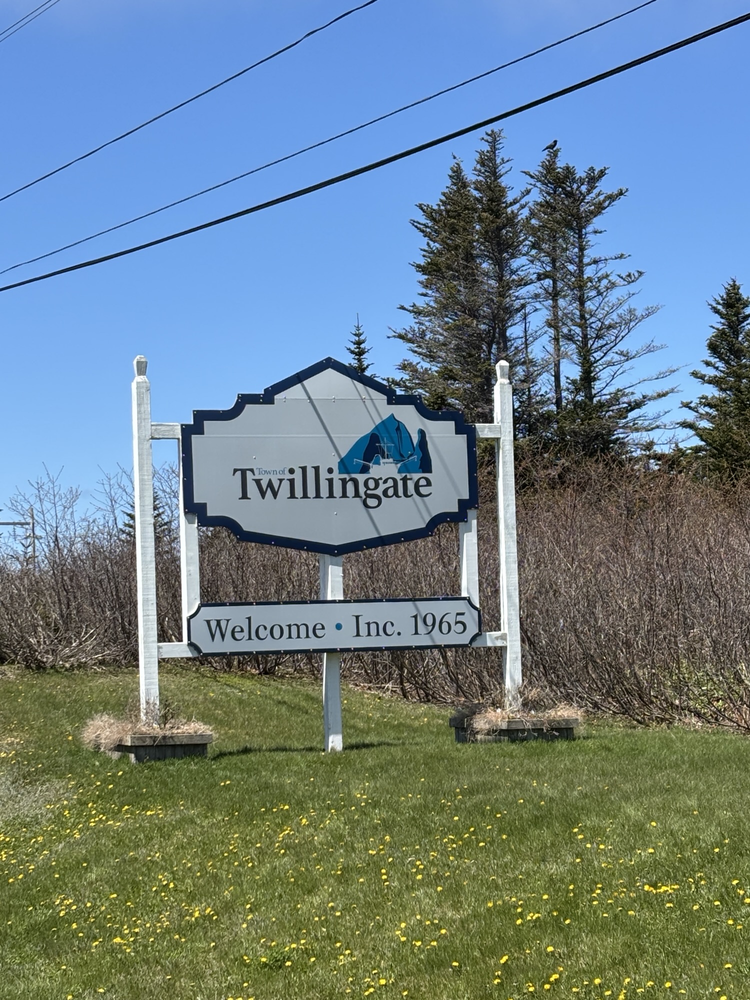
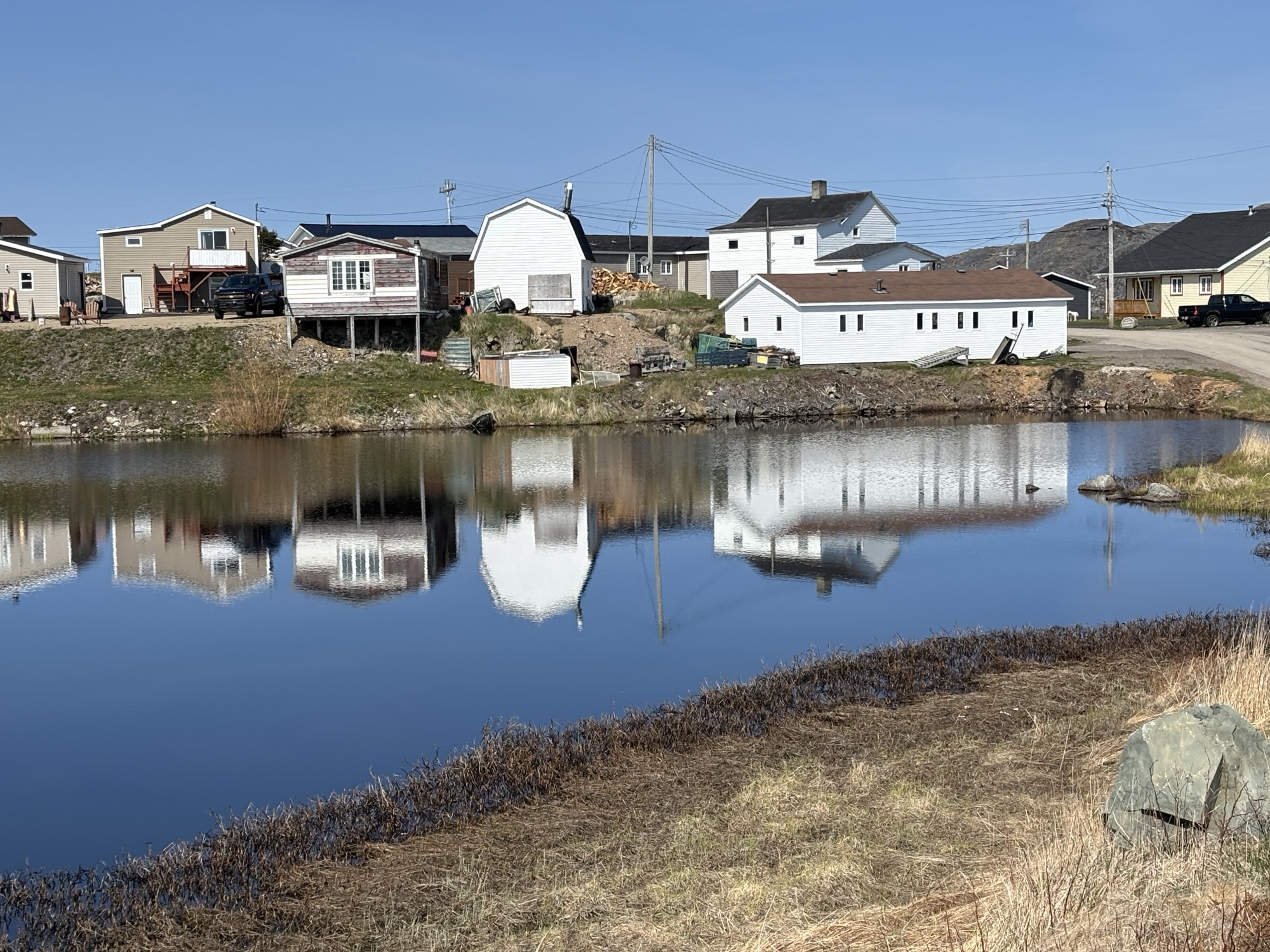
We decided to go along the TCH 1 to Gander then turn north and up to Gander Bay before turning west to Twillingate. Overall, it was an easy drive, and we commented on the etherical, almost mystic feel the fog gave to the countryside.
We pulled into Peyton’s Woods RV Park just north of town and got settled in. It was a full hookup site which was nice after the two days in Trinity. It also had laundry! And it was almost full. It seems everyone wanted to see whales and icebergs too. We headed off to the local Foodland for a few grocery items and were surprised by light snow flurries as we got out of the Jeep. It didn’t last long or stick but it was definitely snow! In late May!
We ended up meeting several very nice couples, one from Ontario and one from Terra Nova that we kept running into. We gave them boat cards and plan to stay in touch.
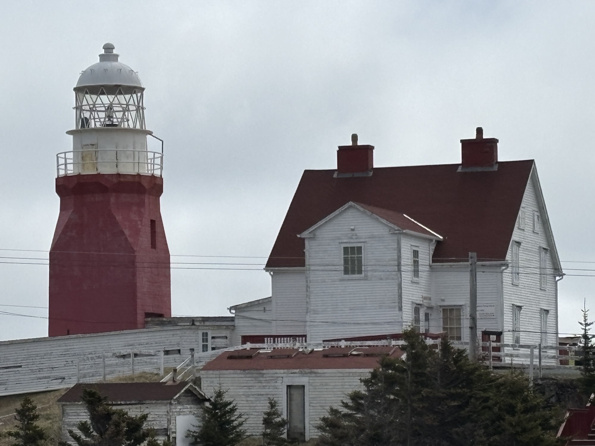
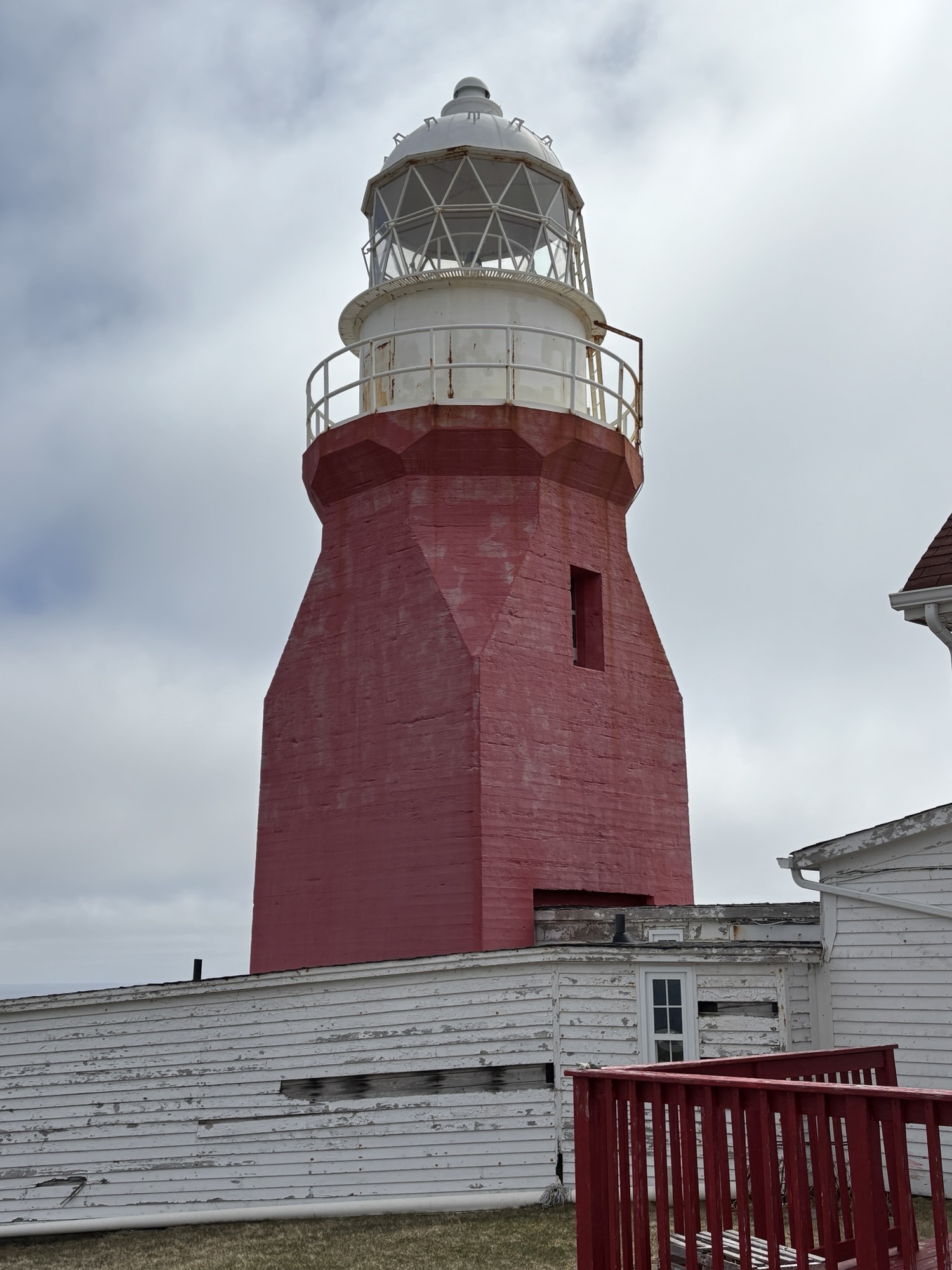
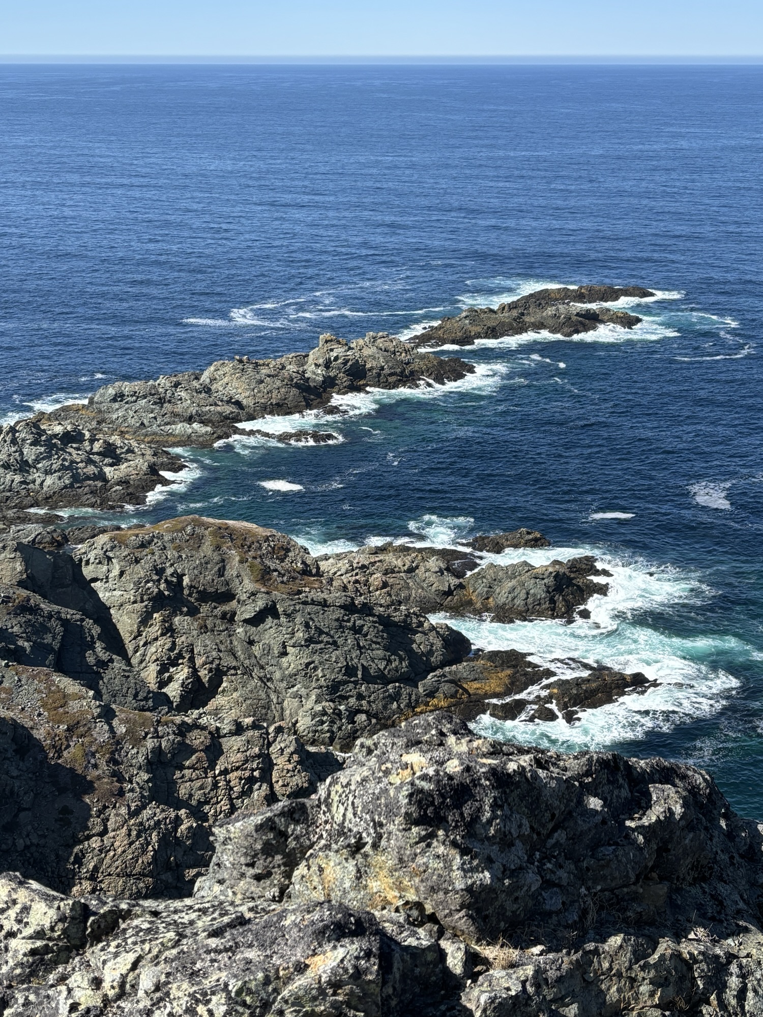
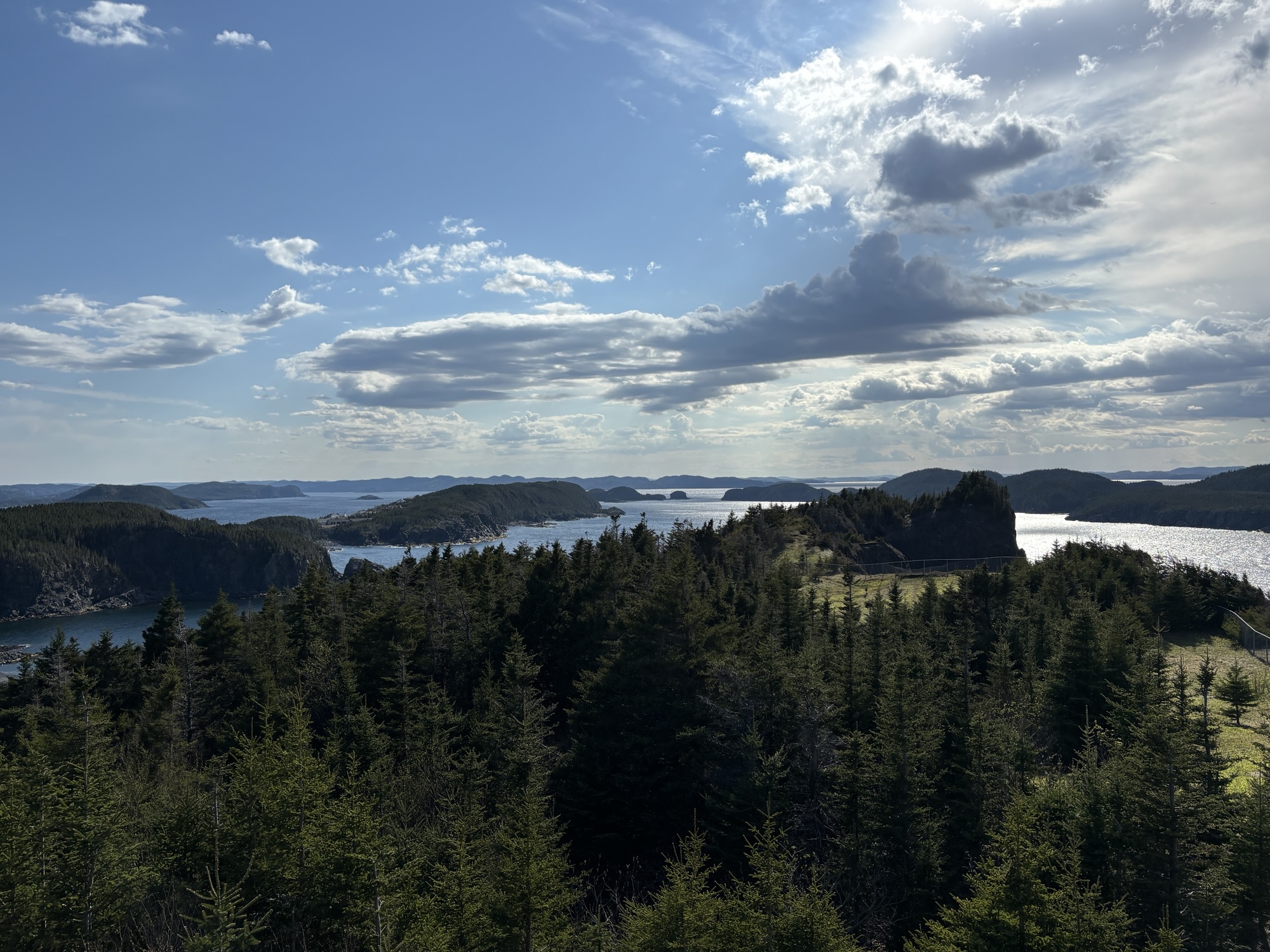
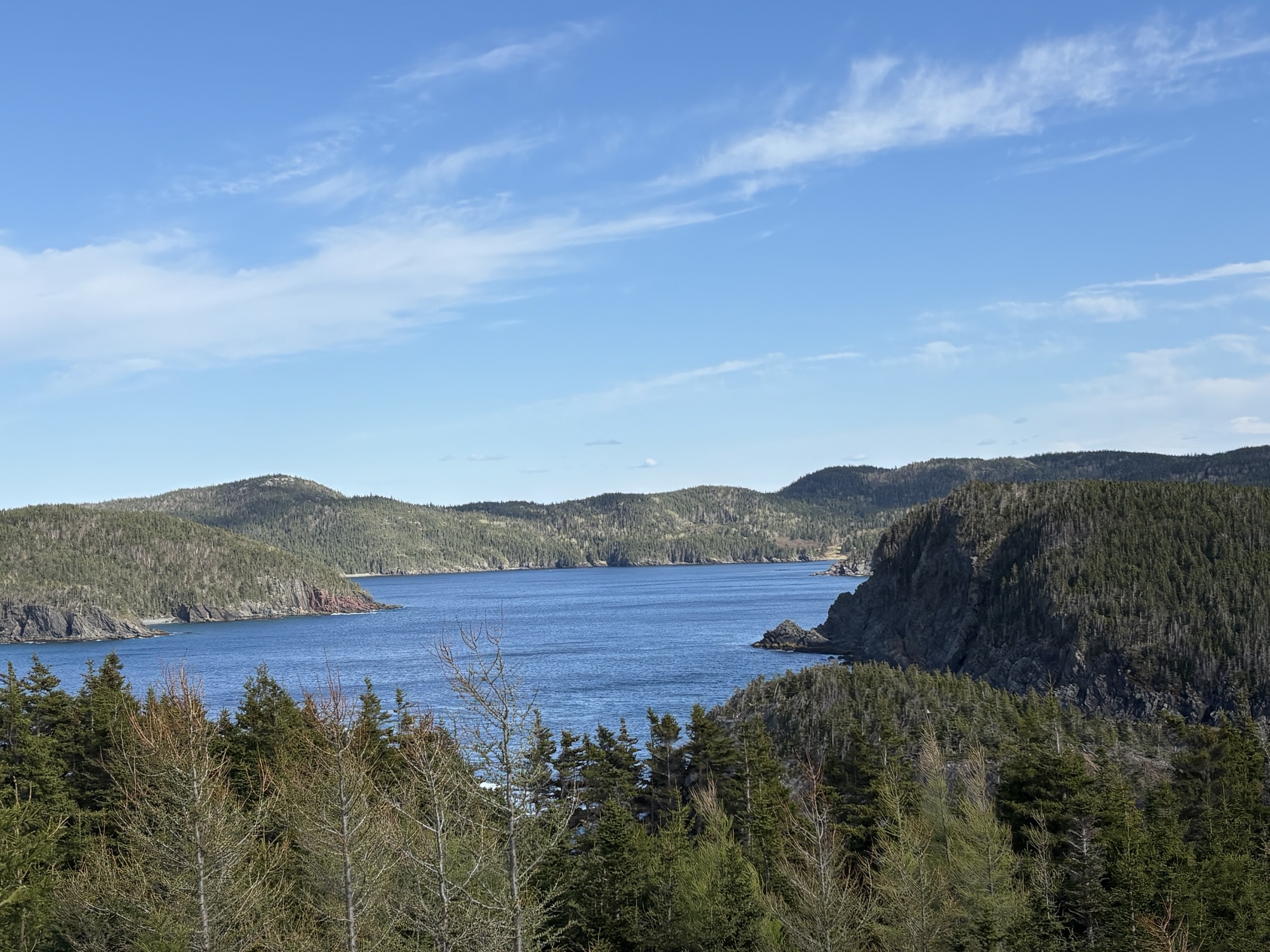
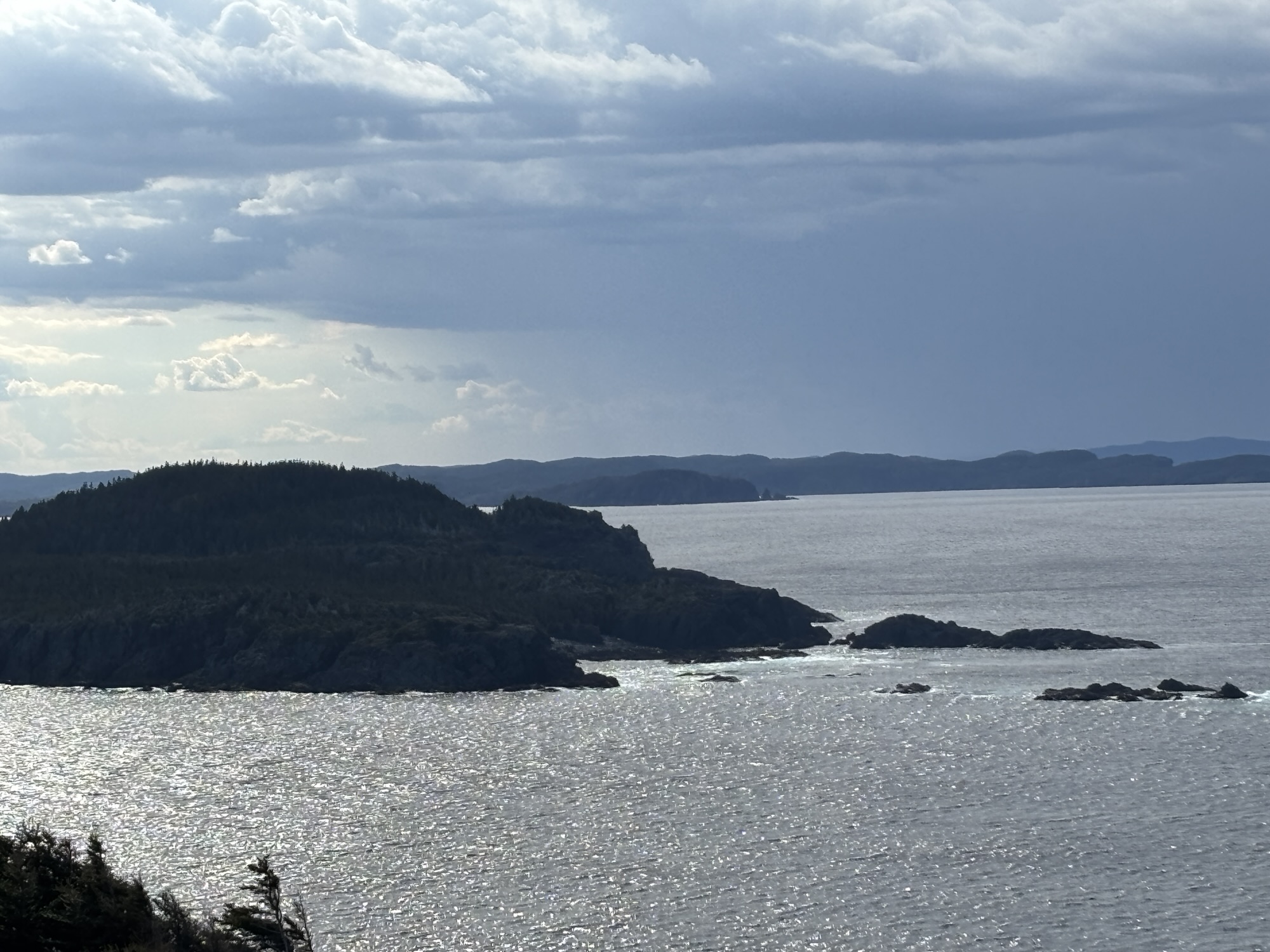
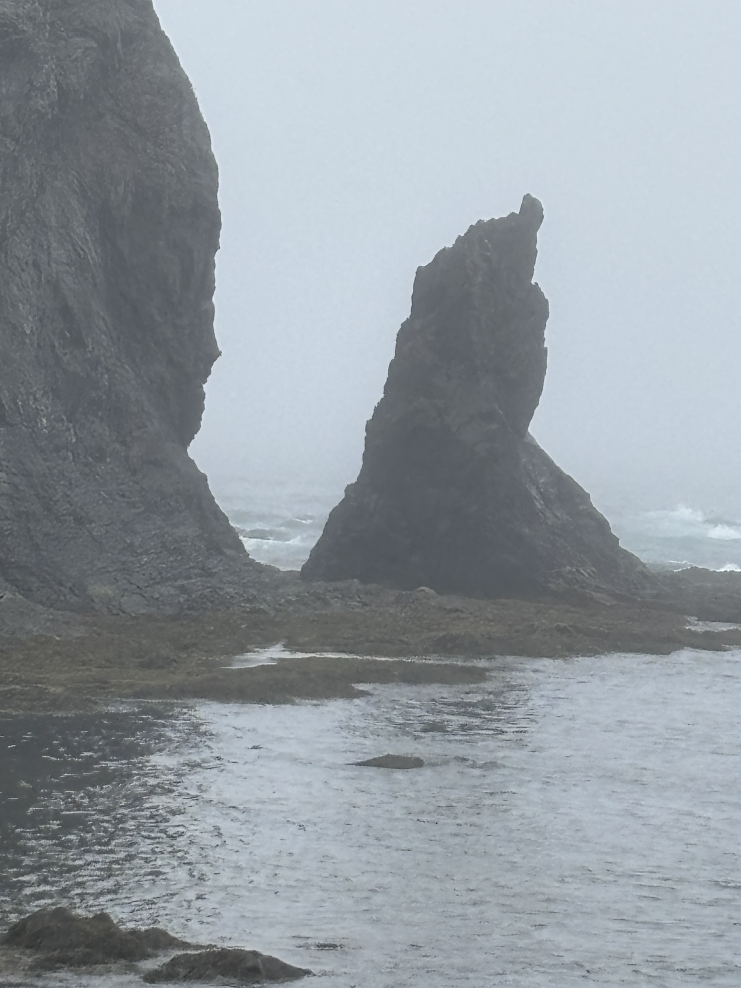
Our first stop was up to the Long Point Lighthouse which had a great view of the ocean but no icebergs or whales!
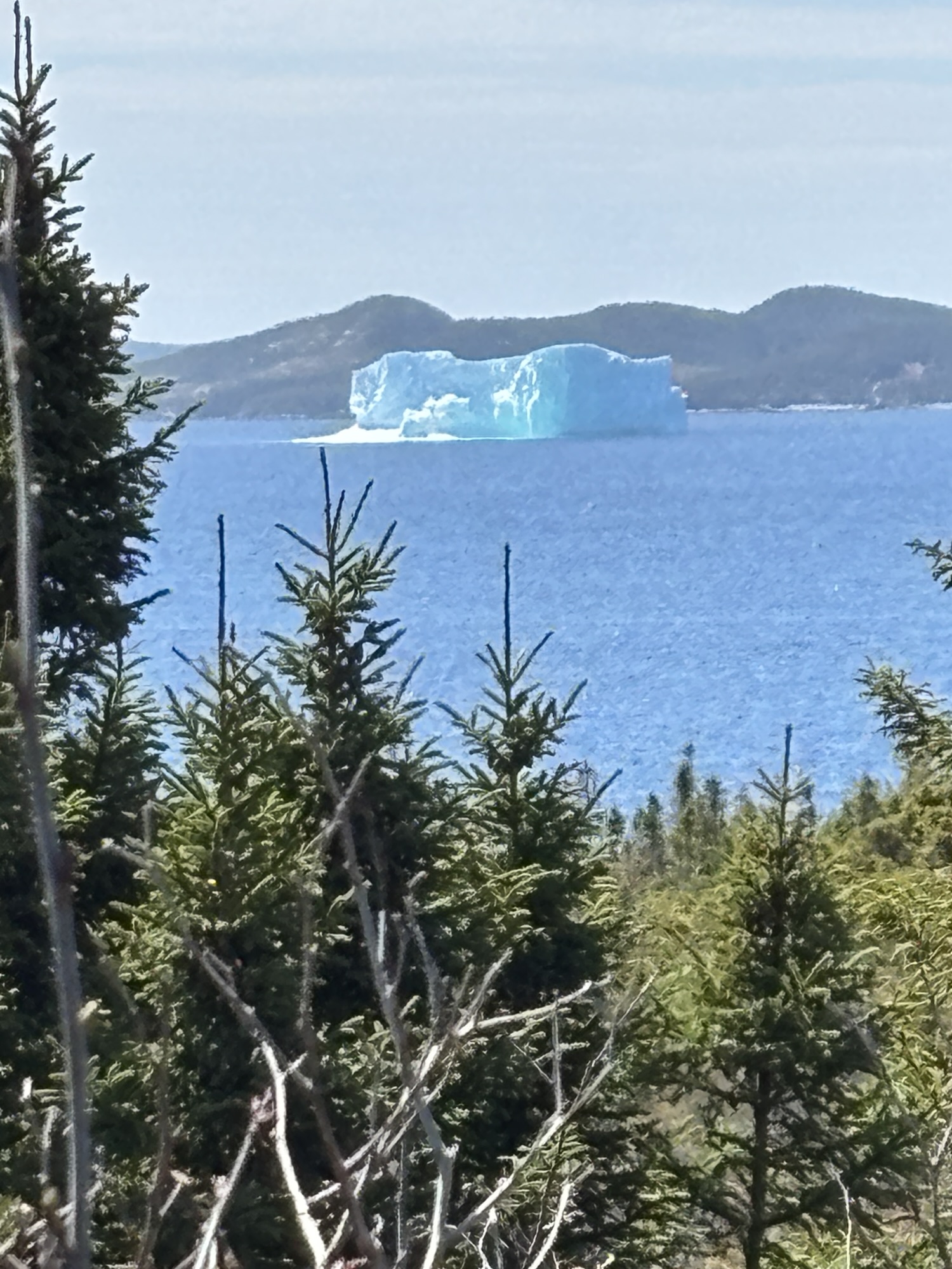
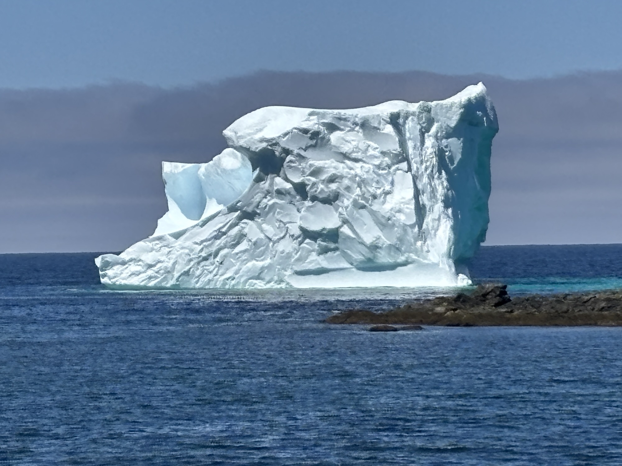
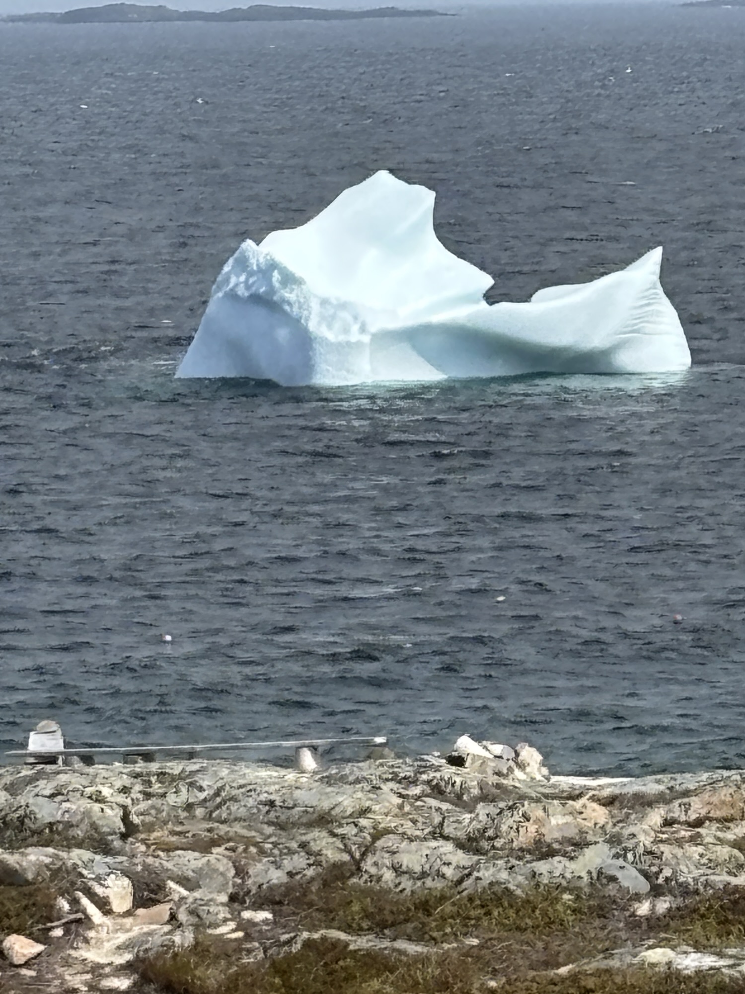
But we were given a heads up about an iceberg close to shore by the couple from Ontario and went to check it out. Sure enough, it was as expected and a very nice photo op. We did get to see a few more but they were further away. Twillingate lived up to its iceberg reputation.
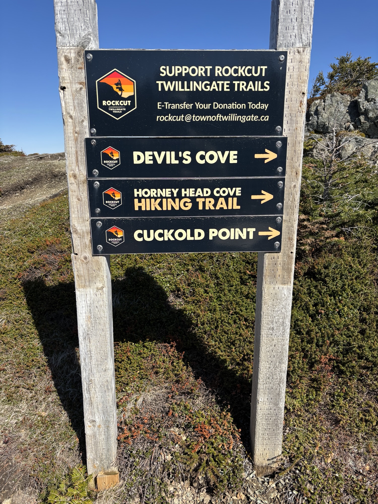
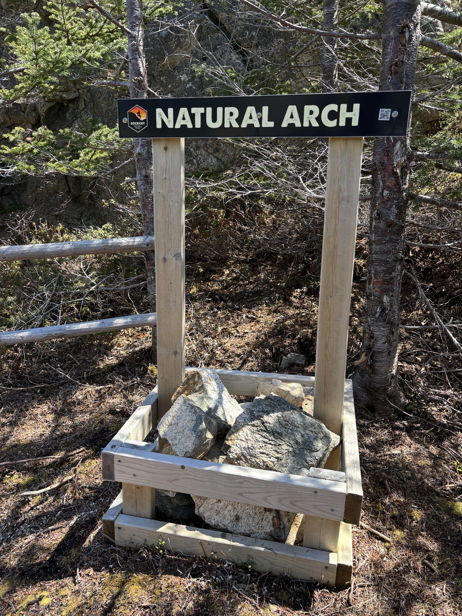
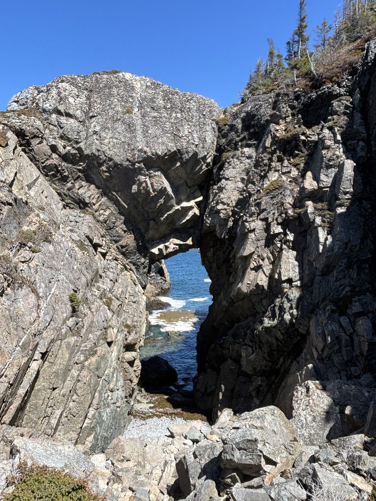
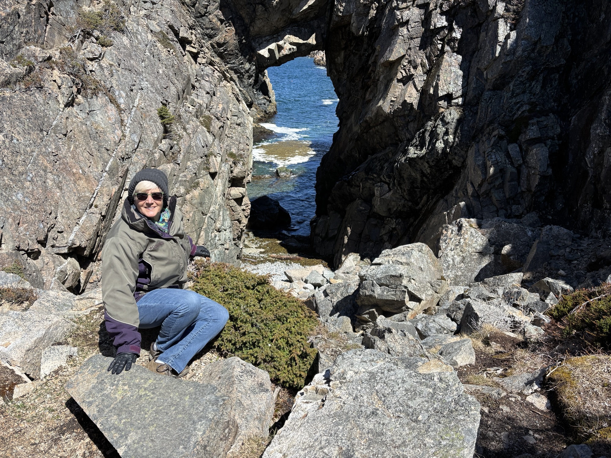
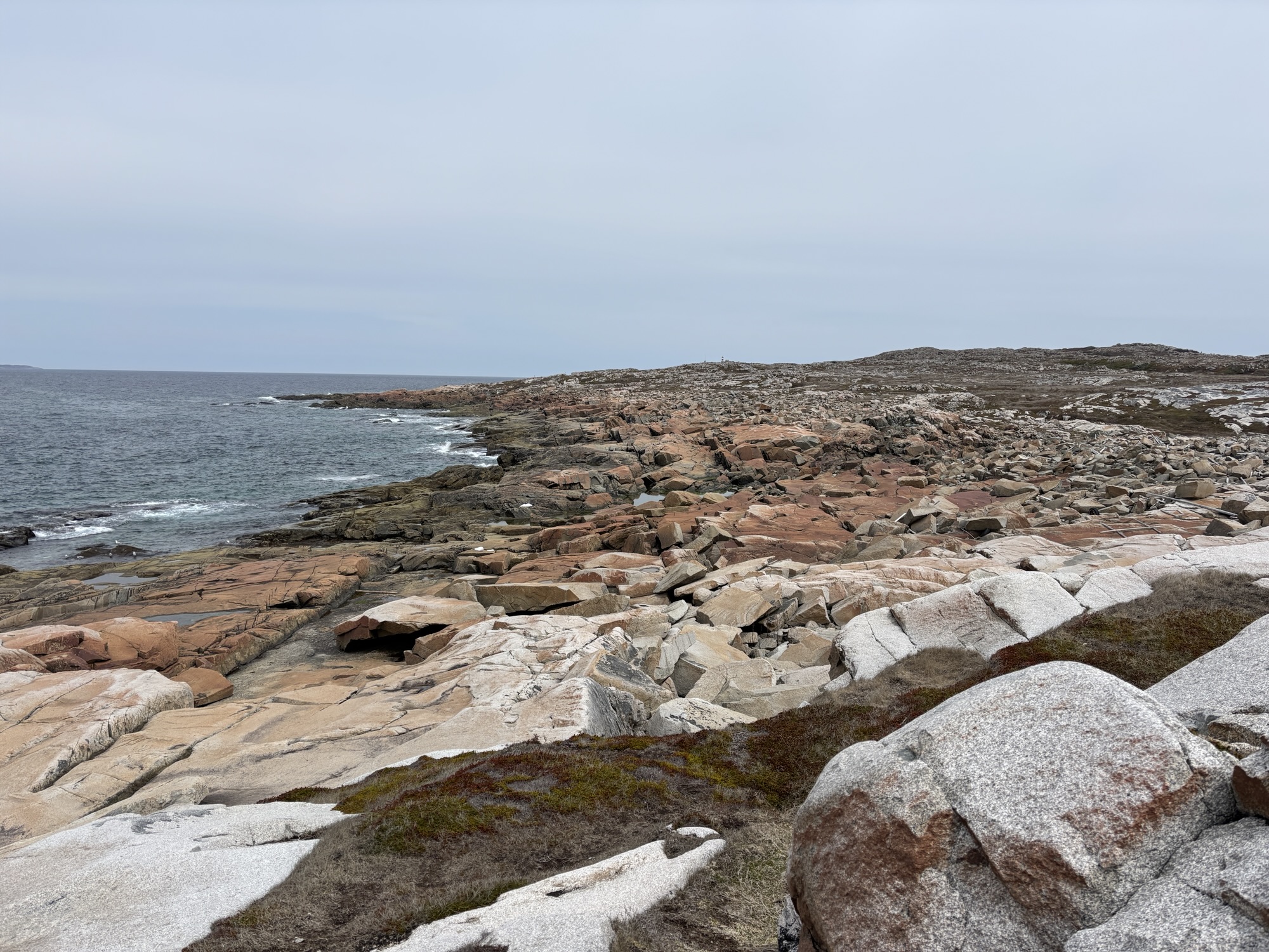
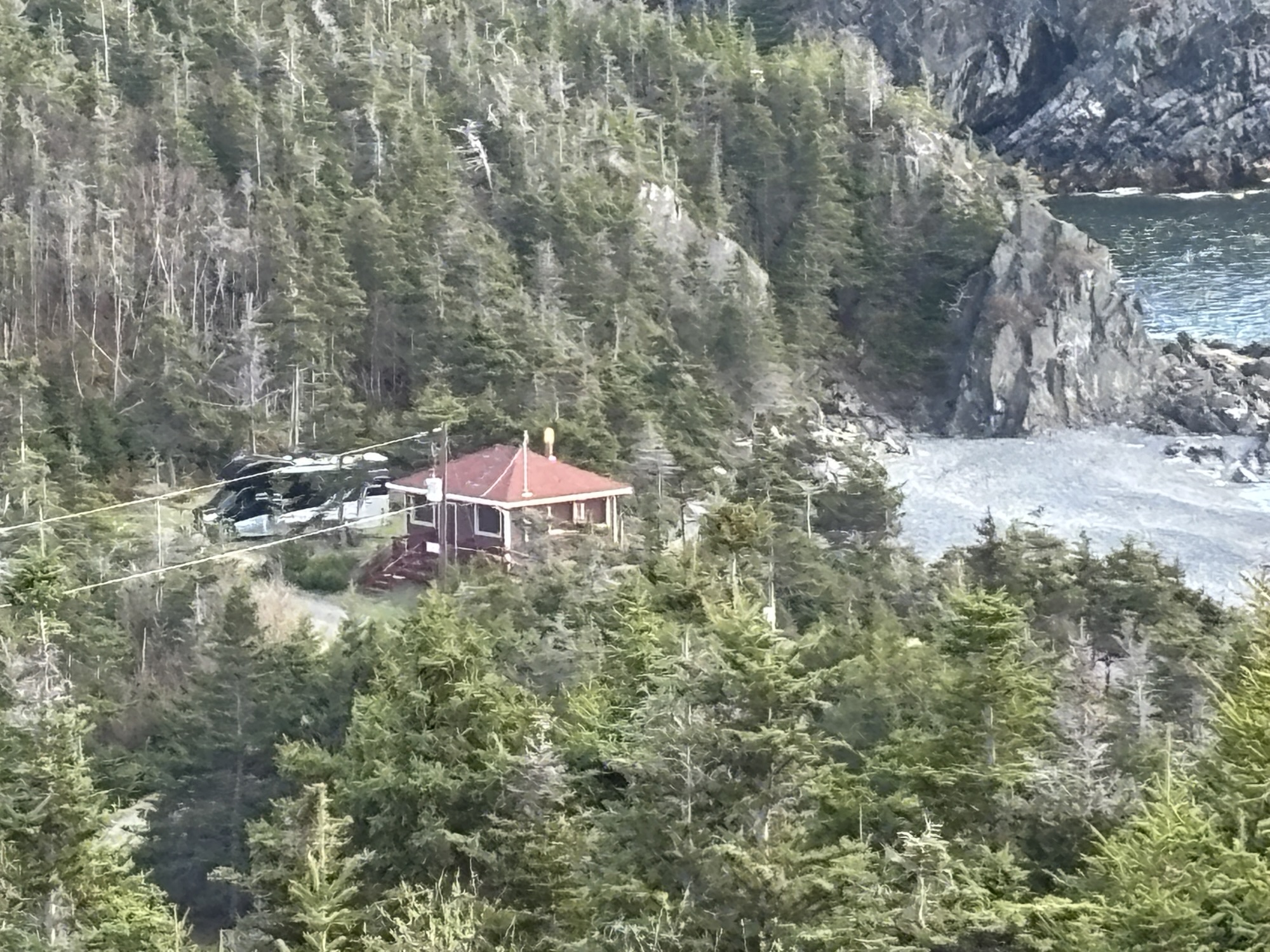
Then we decided to go for a hike and picked the Natural Arch trail. It turned out to be a nice walk with some ups and downs and the arch was very interesting.
After some other arts and craft stops, we decided to go back to the lighthouse and took along some cheese and crackers for a snack. We sat on the lookout bench and really enjoyed the view again. Nice visit to Twillingate!
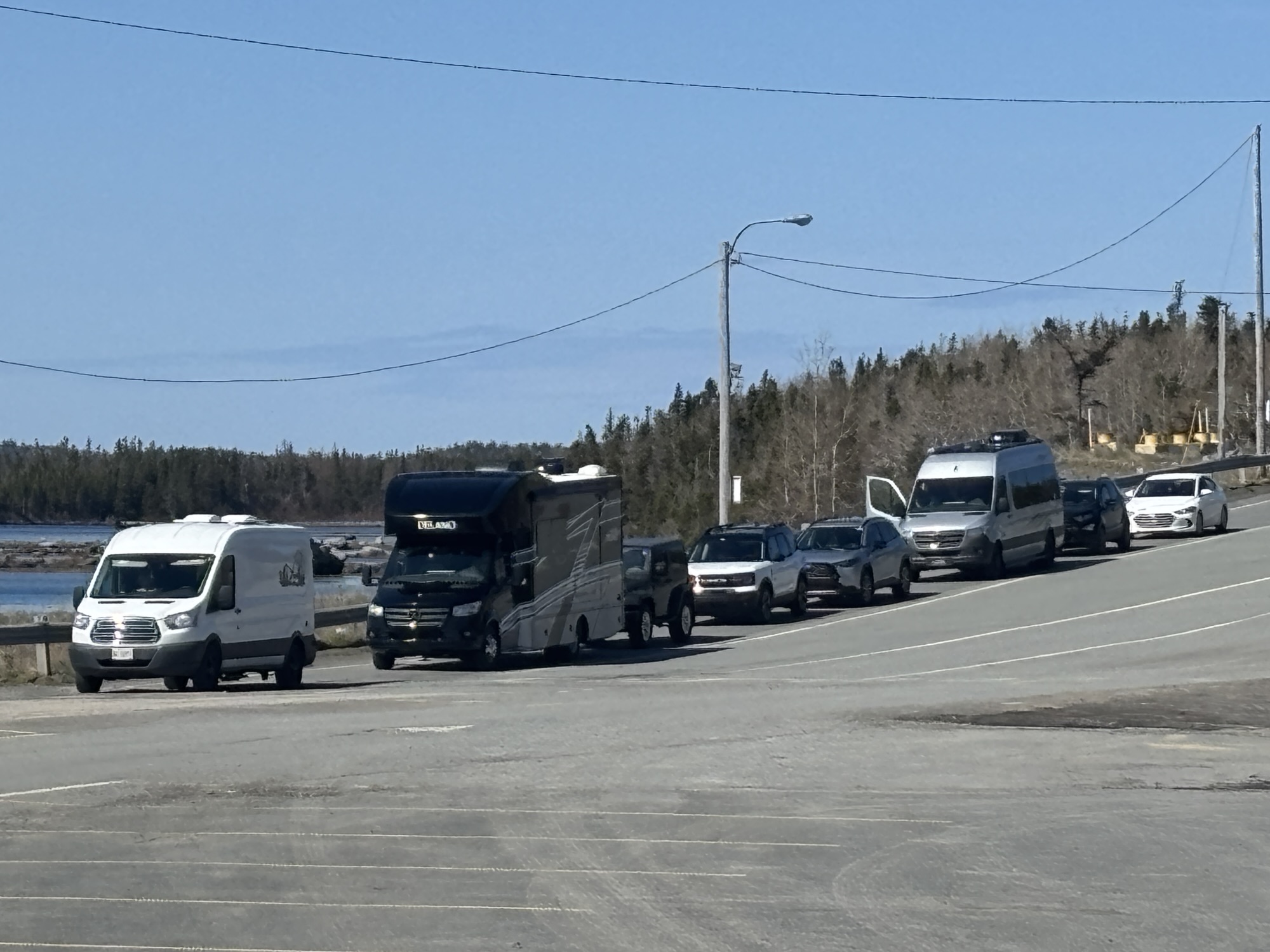
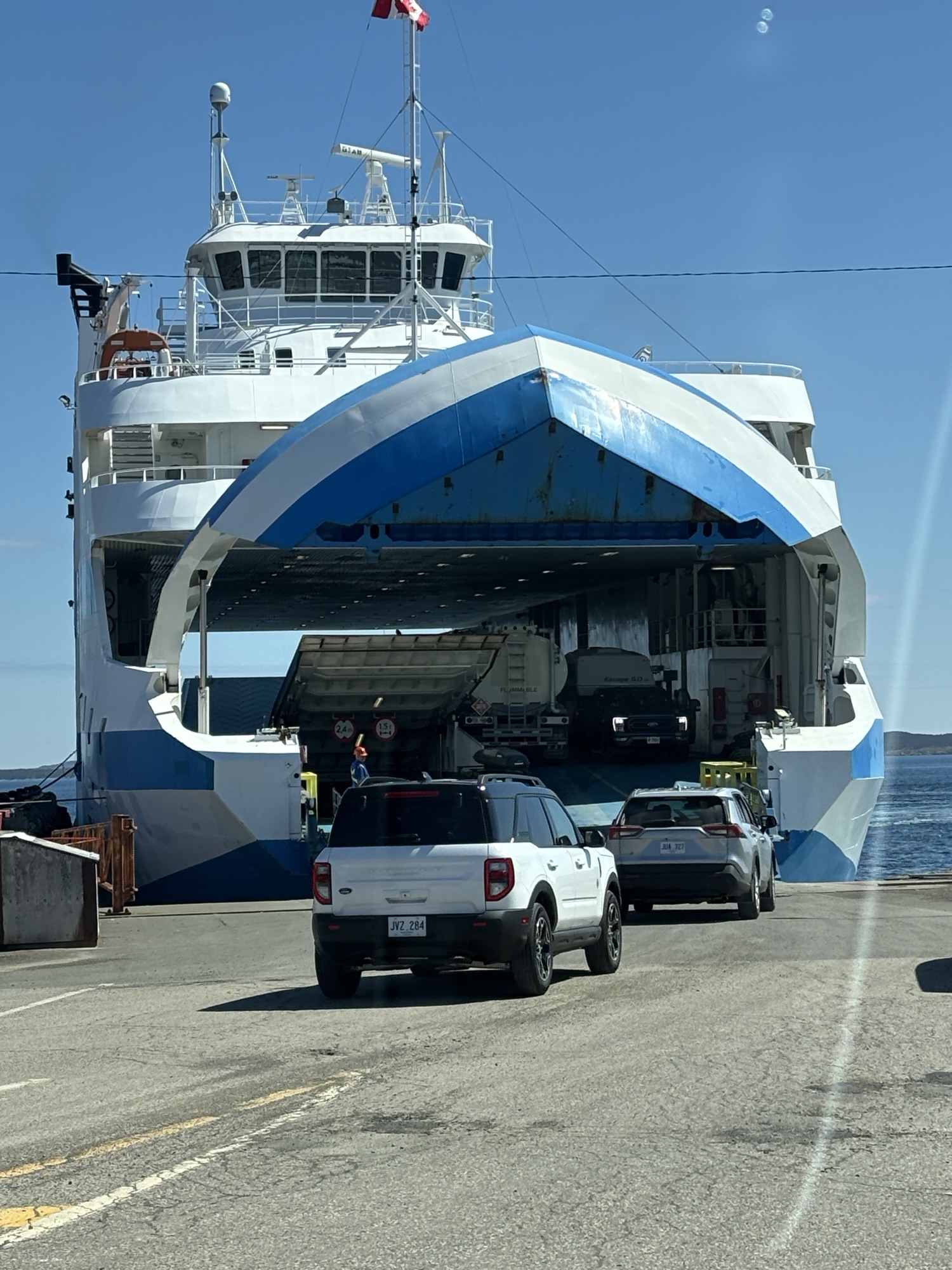
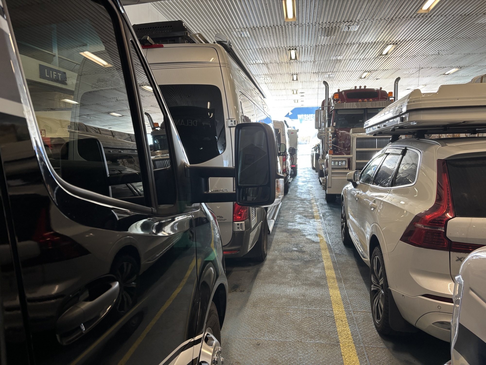
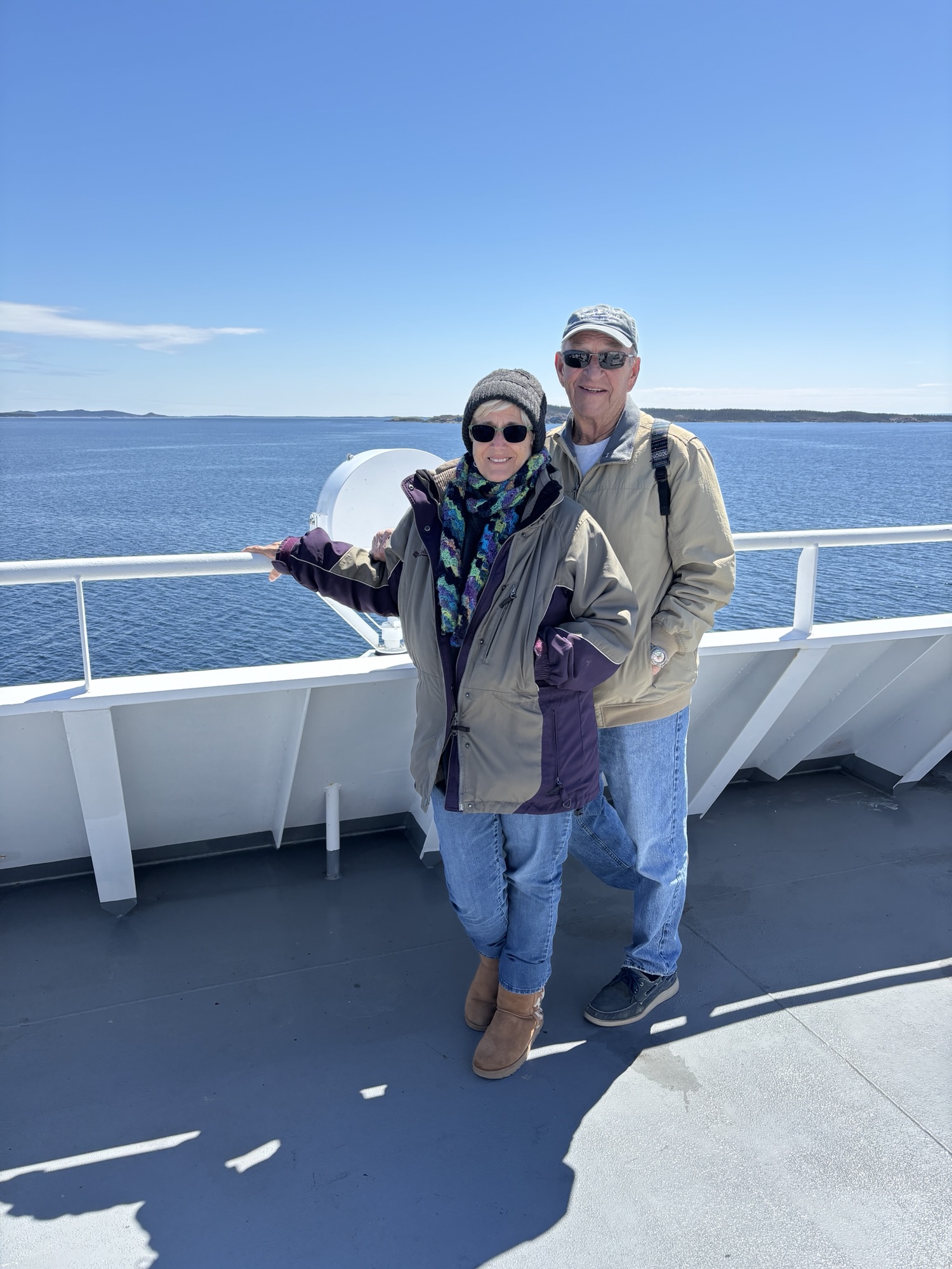
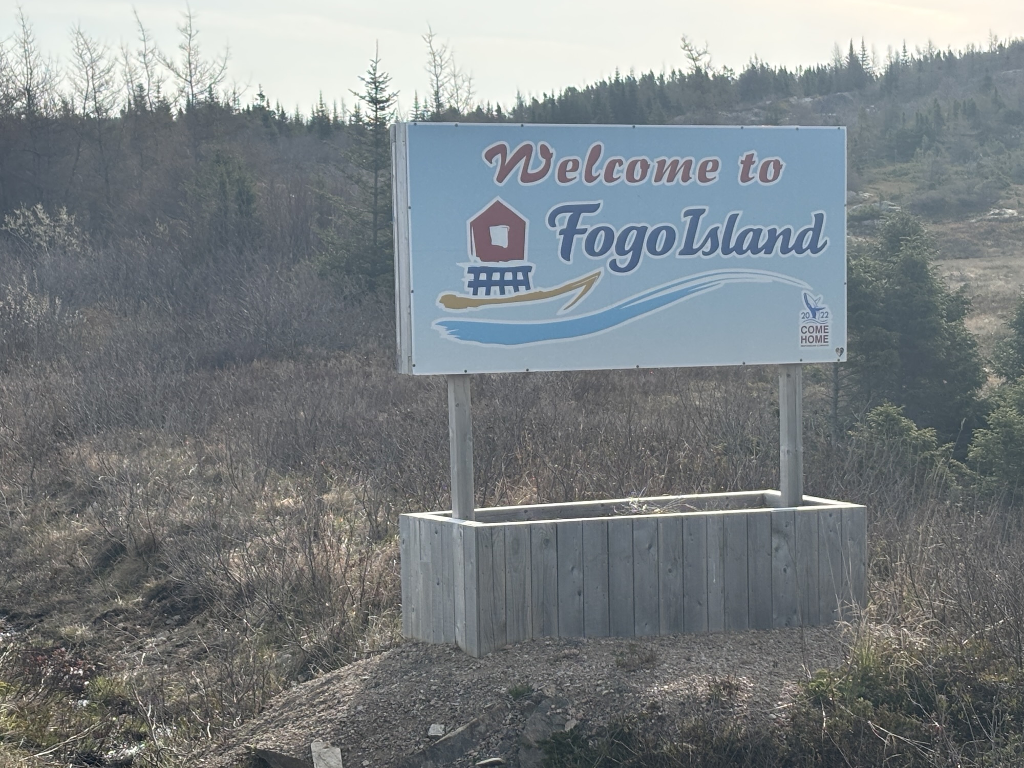
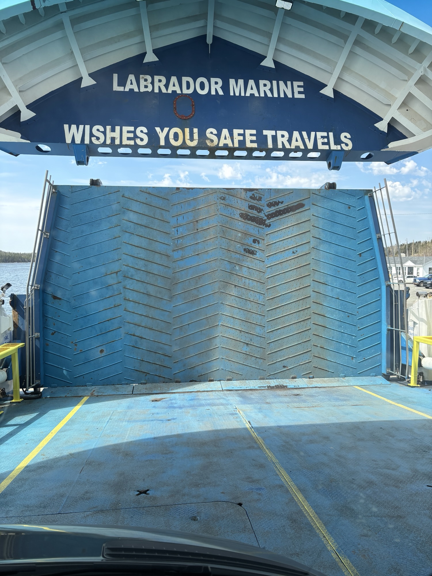
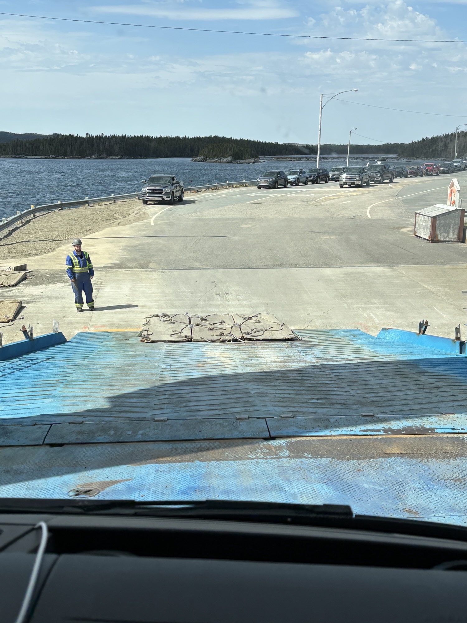
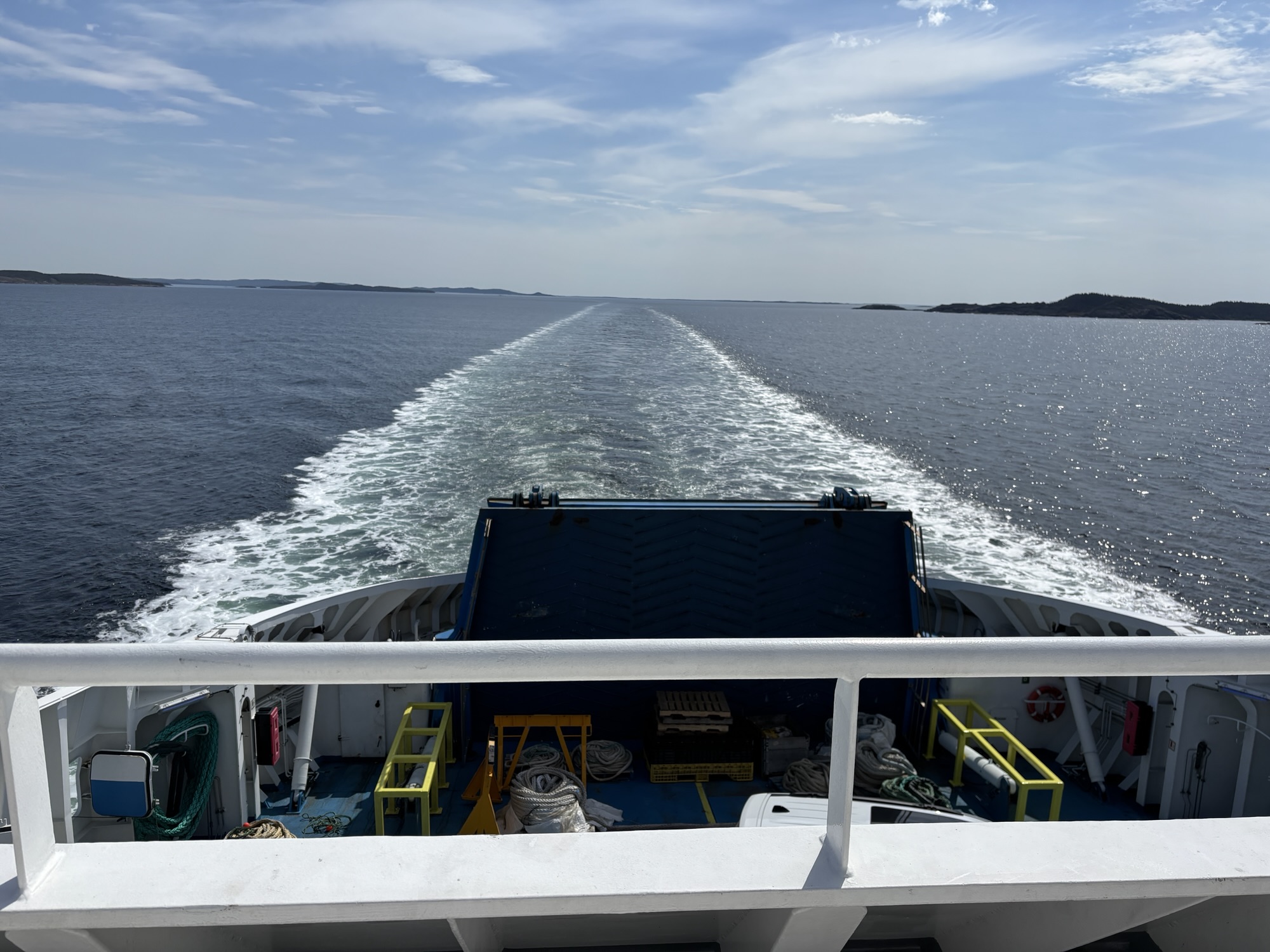
The next morning we were off to Fogo Island. We had a 45-mile drive to the ferry in Farewell and needed to be there an hour early for the 11:30 departure. We arrived and were second in line after a few others that did not get on the earlier ferry. We ended up needing to disconnect the Jeep to make the U-turn once inside the ferry to be ready to exit upon arrival. Once in, we reconnected it and were ready for the departure. The trip across was smooth and only lasted about an hour.
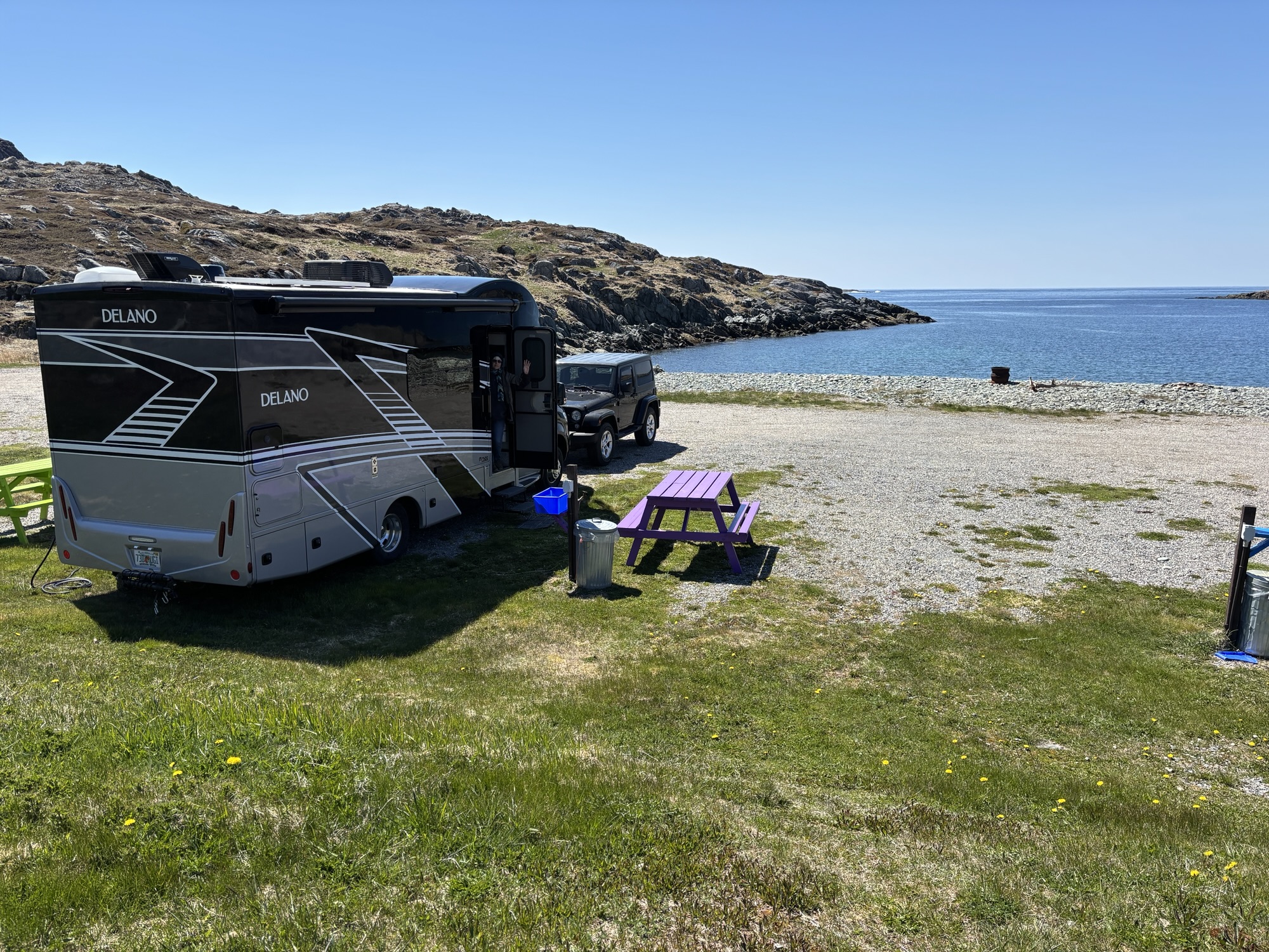
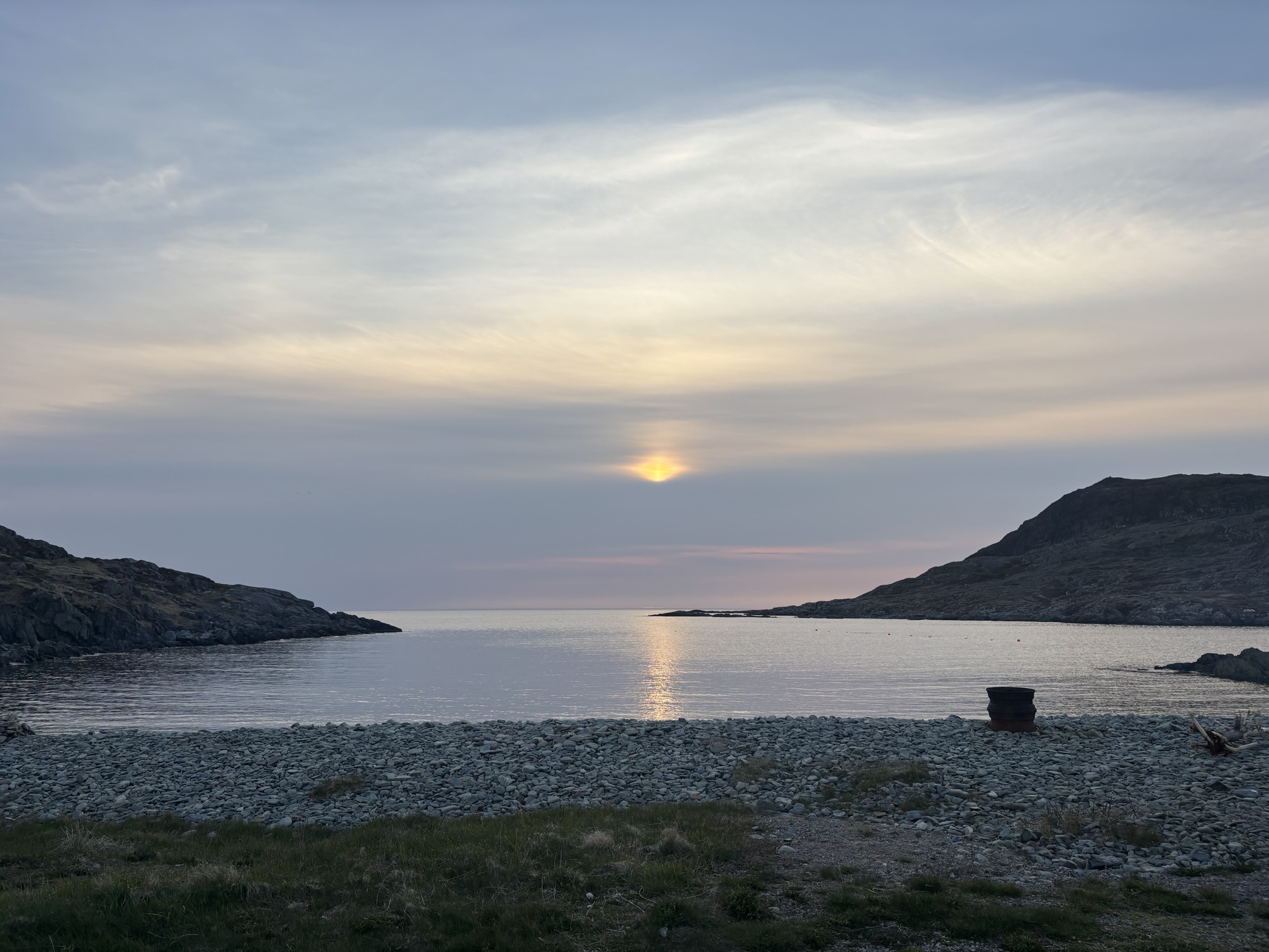
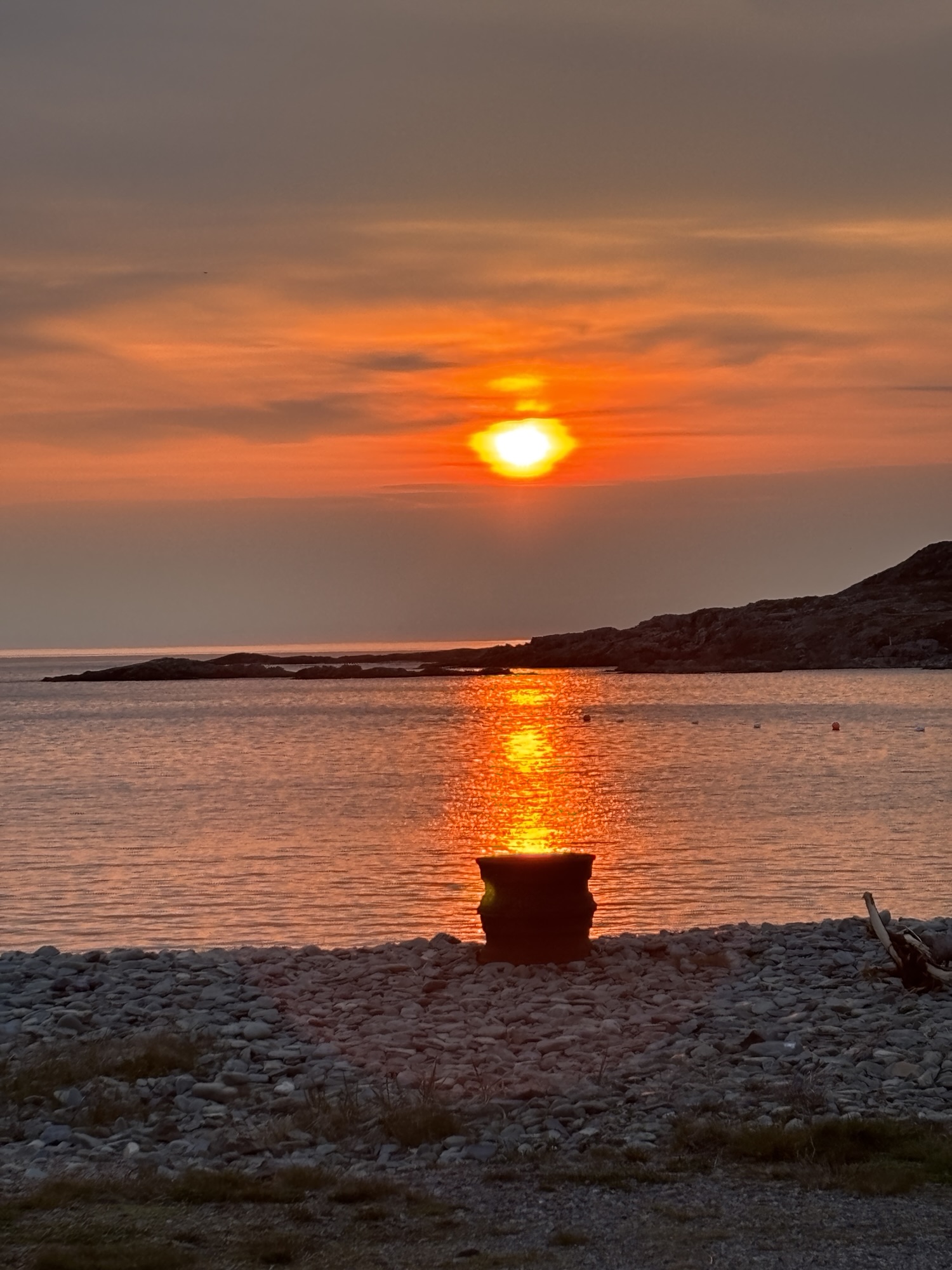
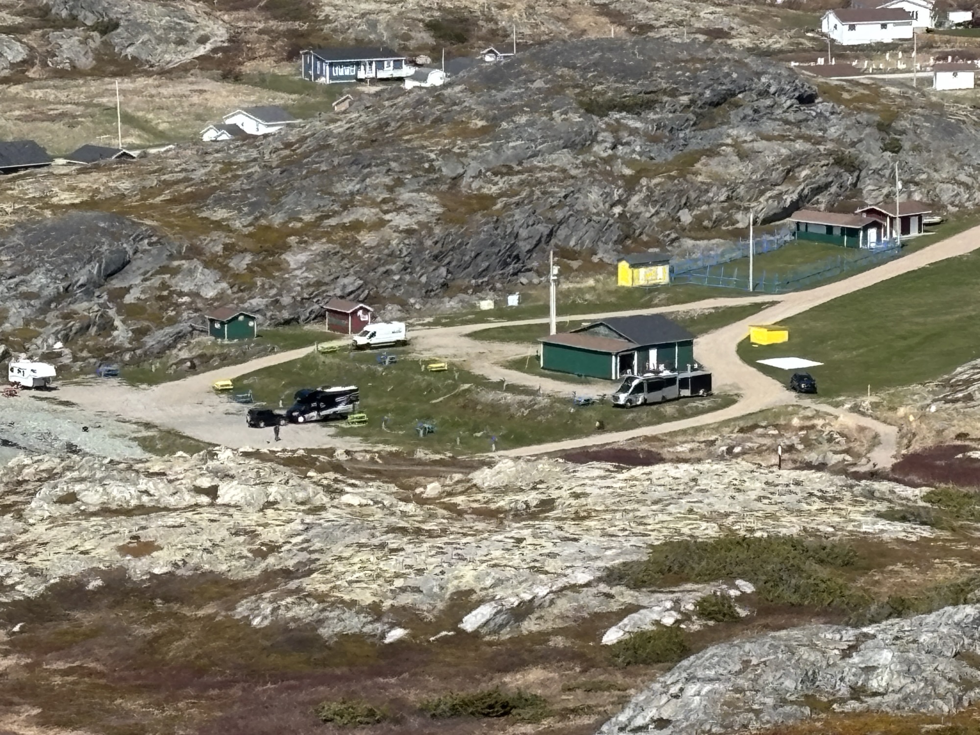
The drive up to Brimstone Head was easy. The RV park was part of the Lions Club rec center, athletic fields and picnic area. We got a great spot on the beach and decided to face west to get the best view of the sunsets! We were boondocking with power. We have been trying to think of a word for this kind of service. Maybe it should call it noondocking because you can at least keep the clock plugged in and working?! Okay, that’s a stretch. Send me your ideas!
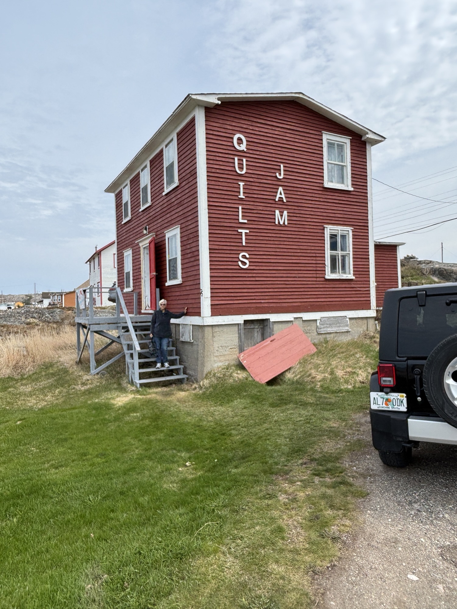
The next two days we explored the island. It is famous for its art and crafts, and hikes.
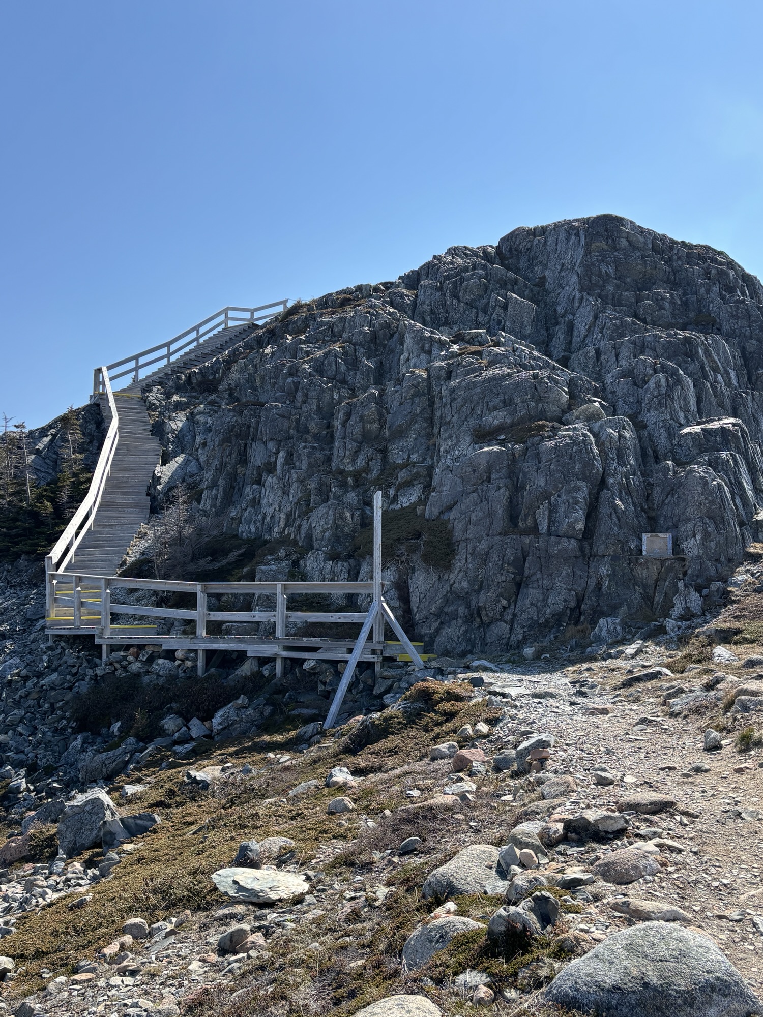
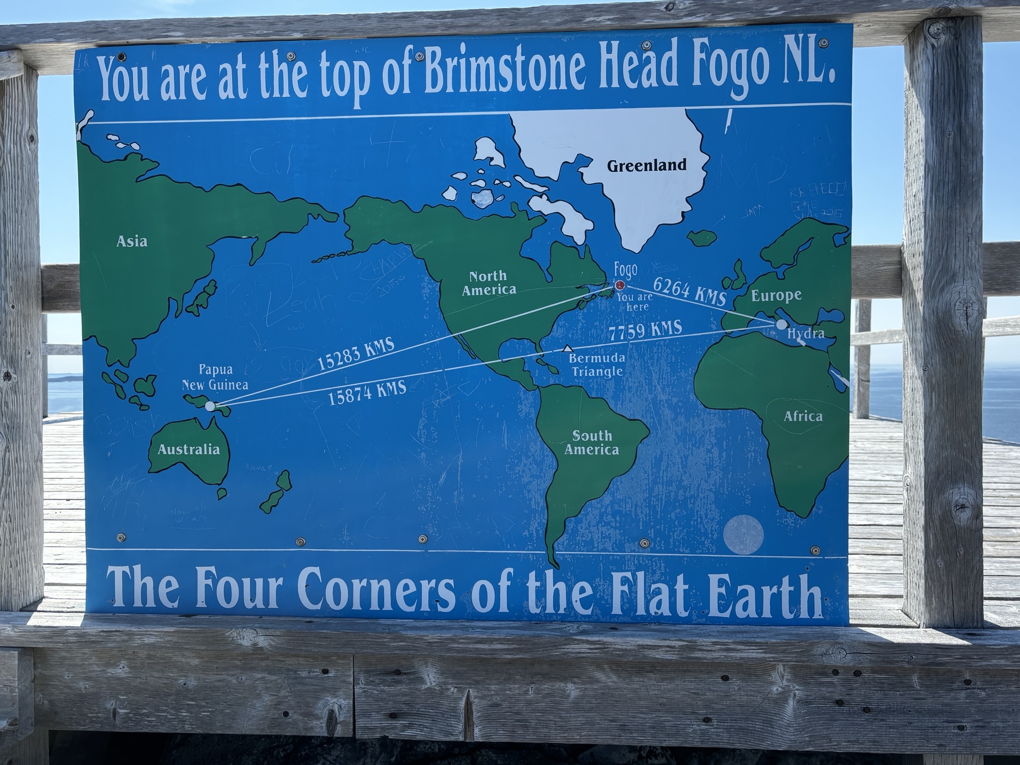
Since we had time the first day and the trail started literally at our RV site, we decided to do the Brimstone Head hike to one of the Flat Earth Society’s four corners of the earth. You will have to look this up yourself. ( www.theflatearthsociety.org) I tried and still cannot understand the concept. The other three corners are Papua, New Guinea, the Bermuda Triangle, and Hydra, Greece. Doesn’t make sense to me and other lists seem to show other places as well. But Brimstone Head is on the list.
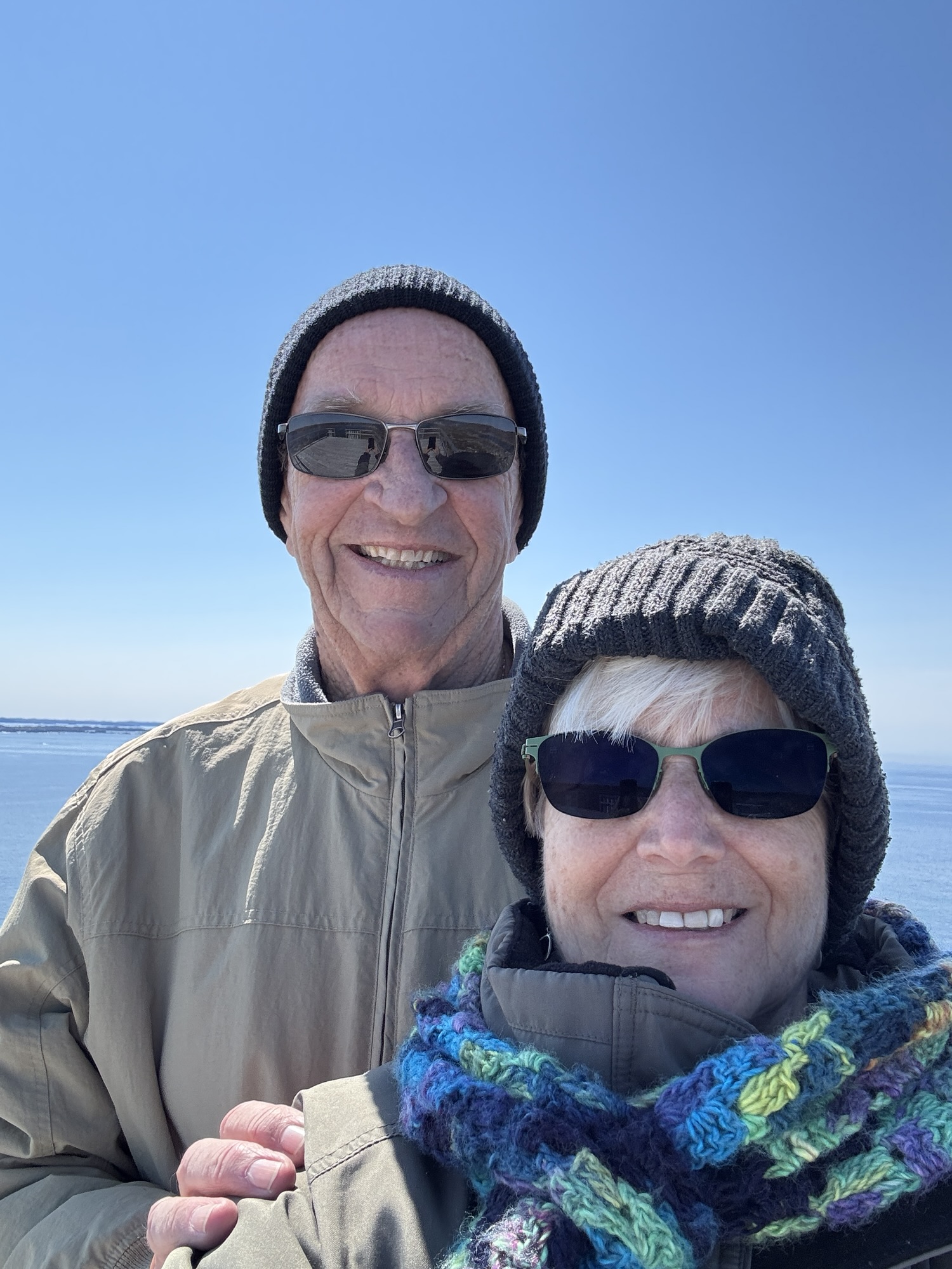
The walk to the top of Brimstone Head was about 1000 steps up with about 150 as stairs which helped. But still a tough climb. At the top, the view was fantastic! So, Four Corners or not, it was worth the hike.
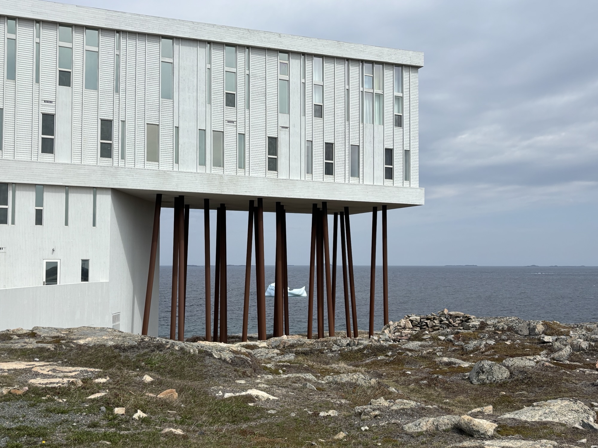
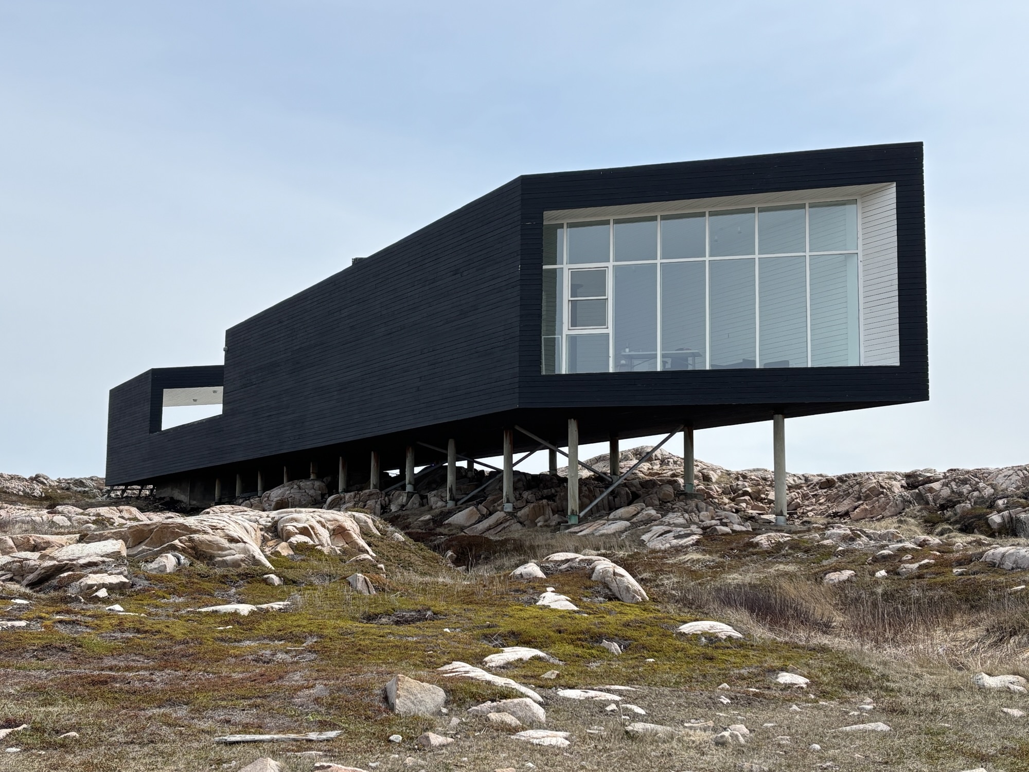
Next day we went to the east end of the island to the town of Tilting and along the way stopped the famous Fogo Island Inn in Joe Batt’s Arm. The unique architecture and location are the trademark, but it is also an all-inclusive (expensive and secure) resort with everything covered. Transportation, meals, hikes, tour boats, and (I think) its own iceberg. My theory is that they towed one directly in front of the hotel just for the guests!

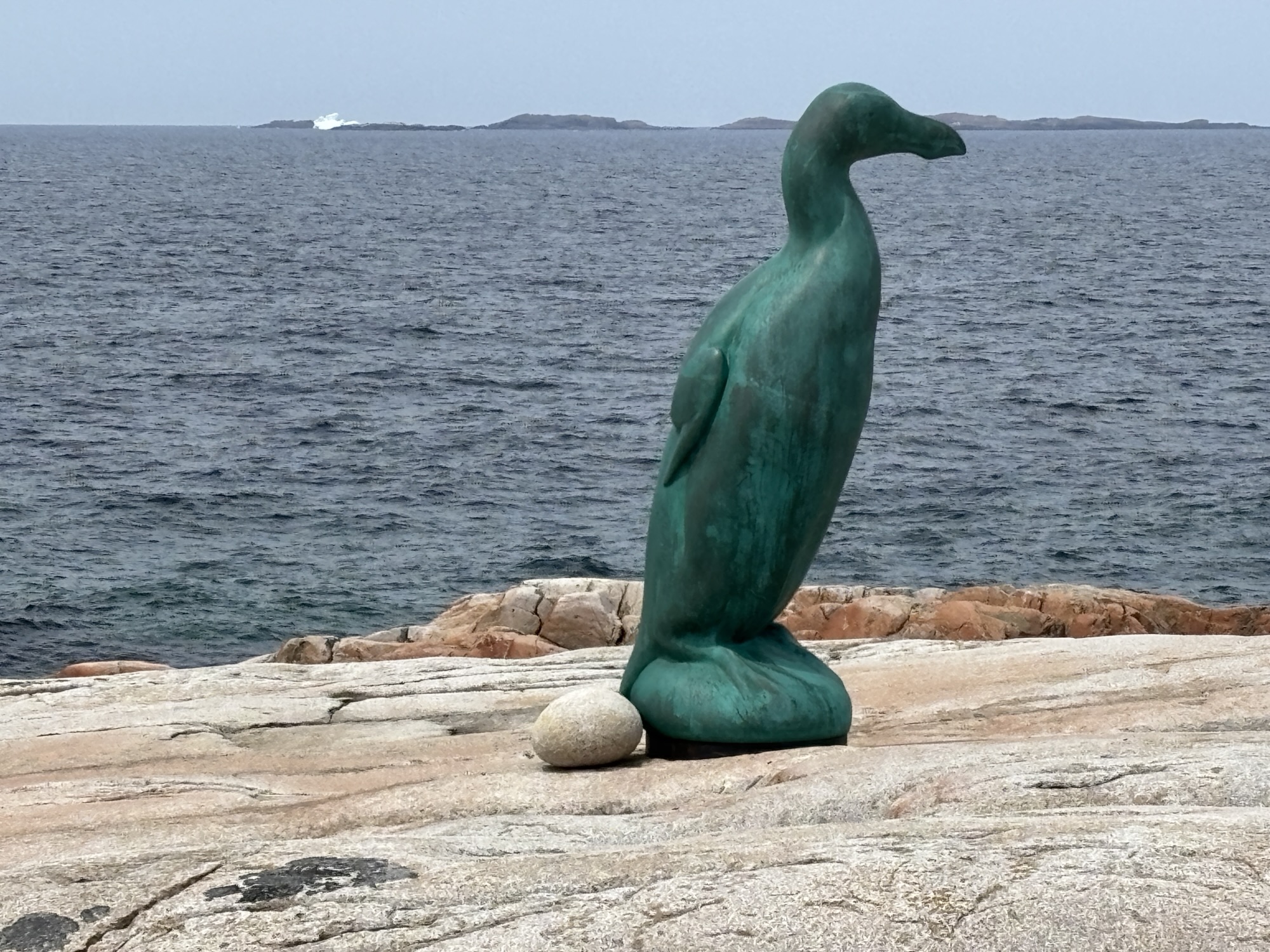
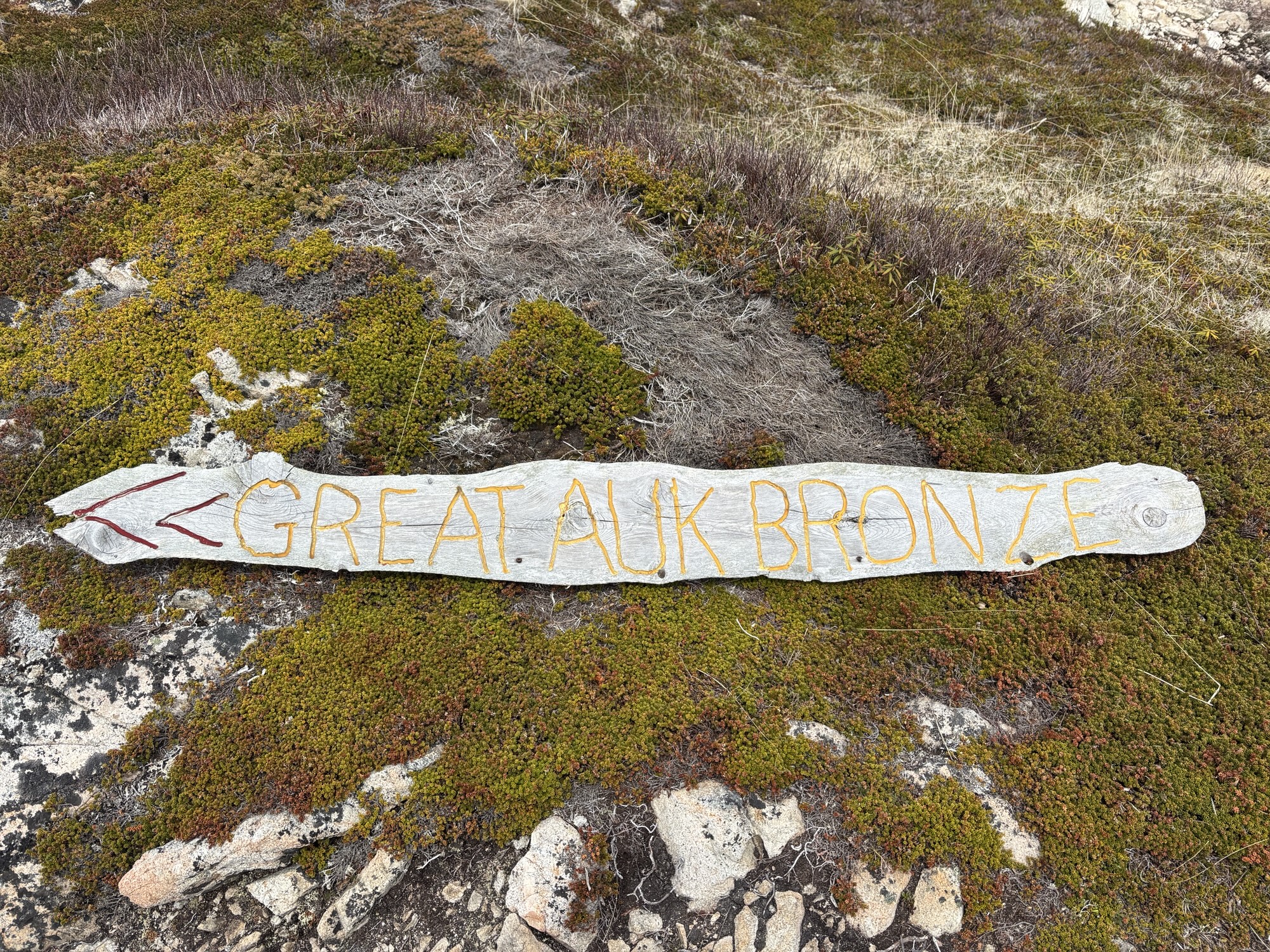
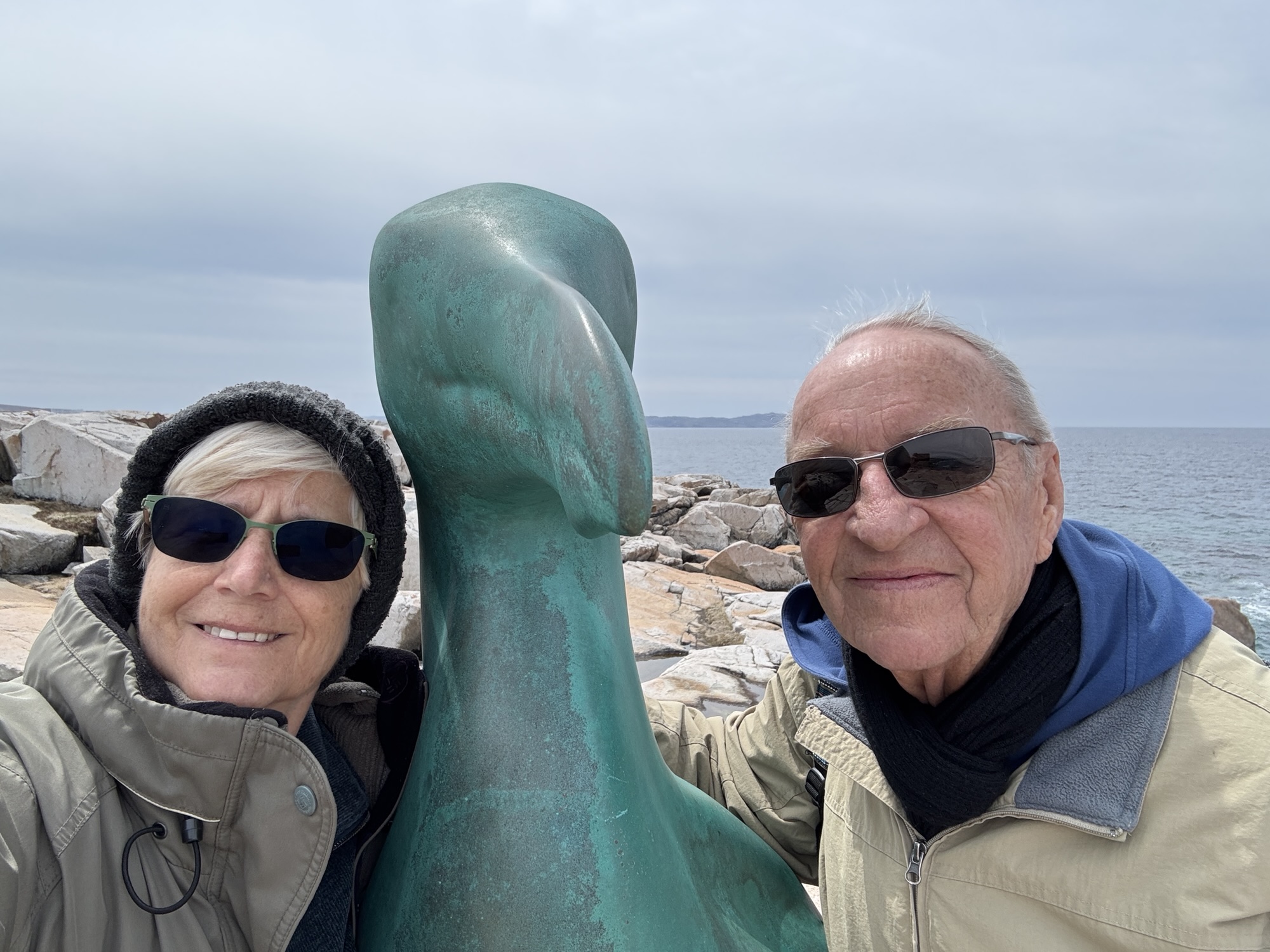
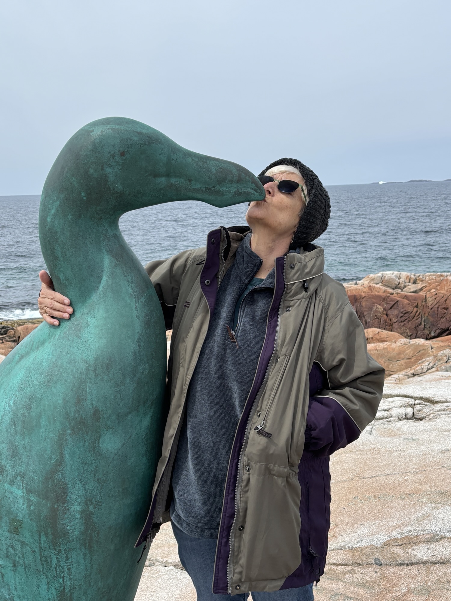
We explored around the town in Tilting and then decided to do the Great Auk Walk back in Joe Batt’s Arm. It is a 4-mile round trip hike out to the end of Joe Batt’s Point where an artist had placed a bronze statue of a Great Auk and had it facing east to a counterpart in Ireland. The trail started at the town park and passed close to one of the new art co-op houses on the island. Again, the hike was challenging but the view at the end was amazing, and the statue was great!
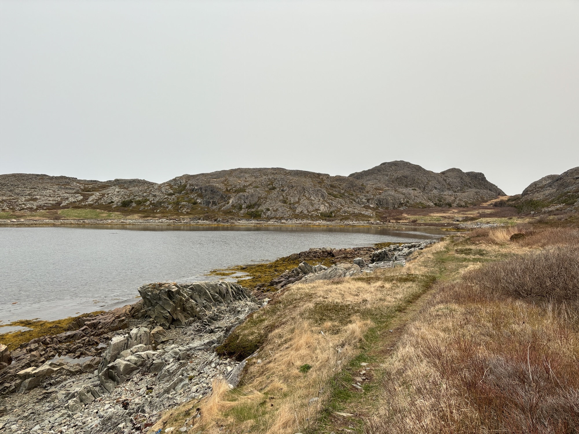
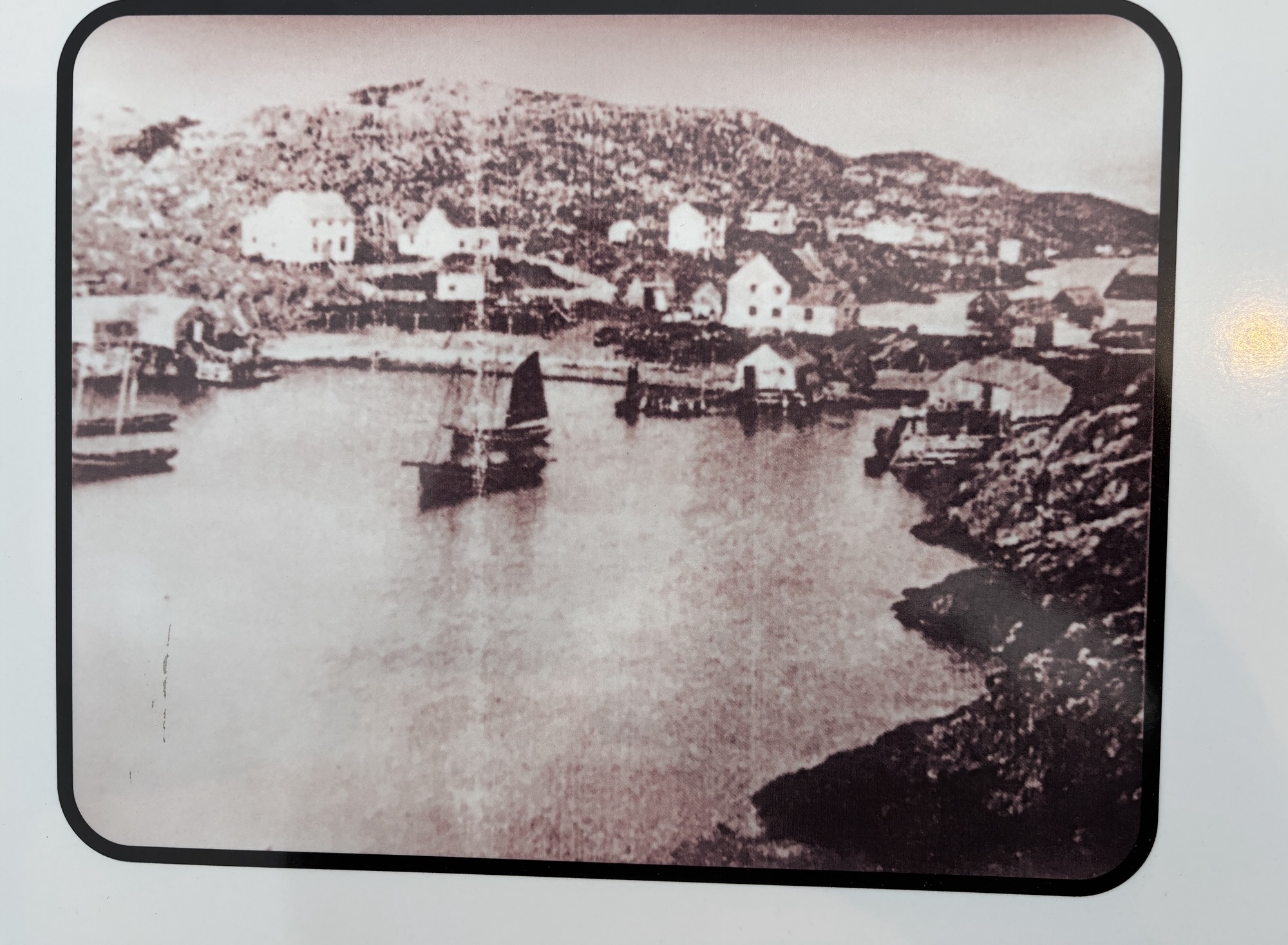
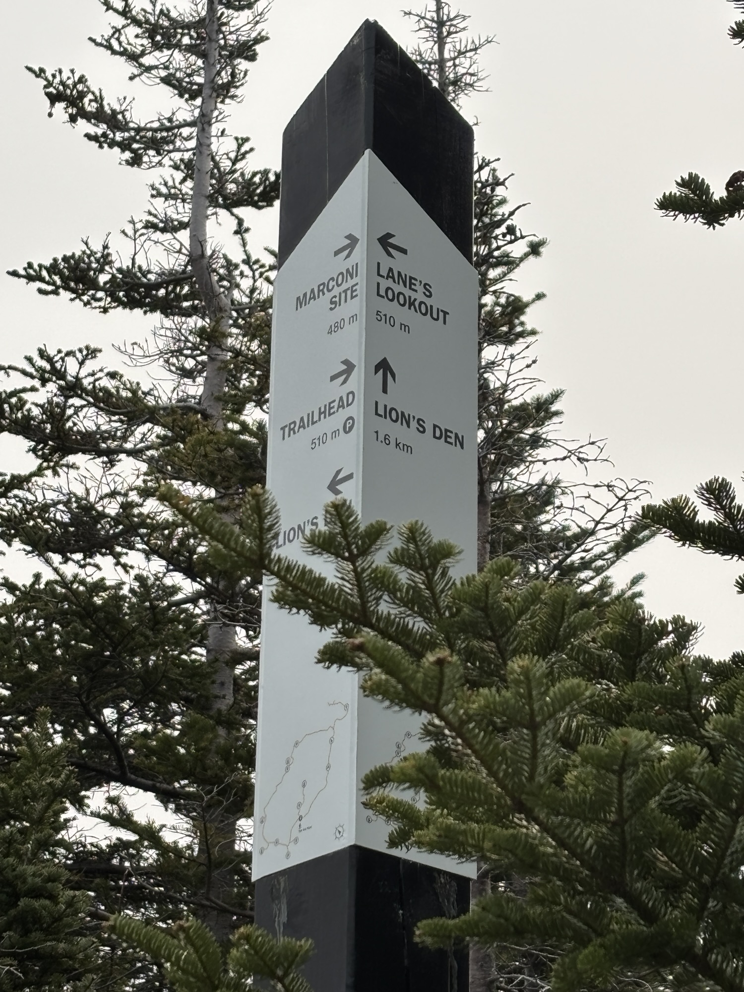
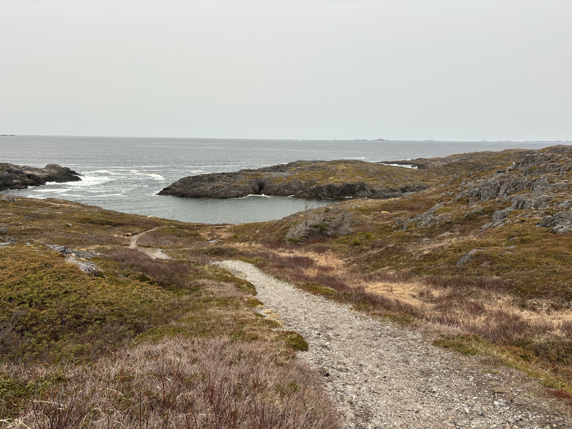
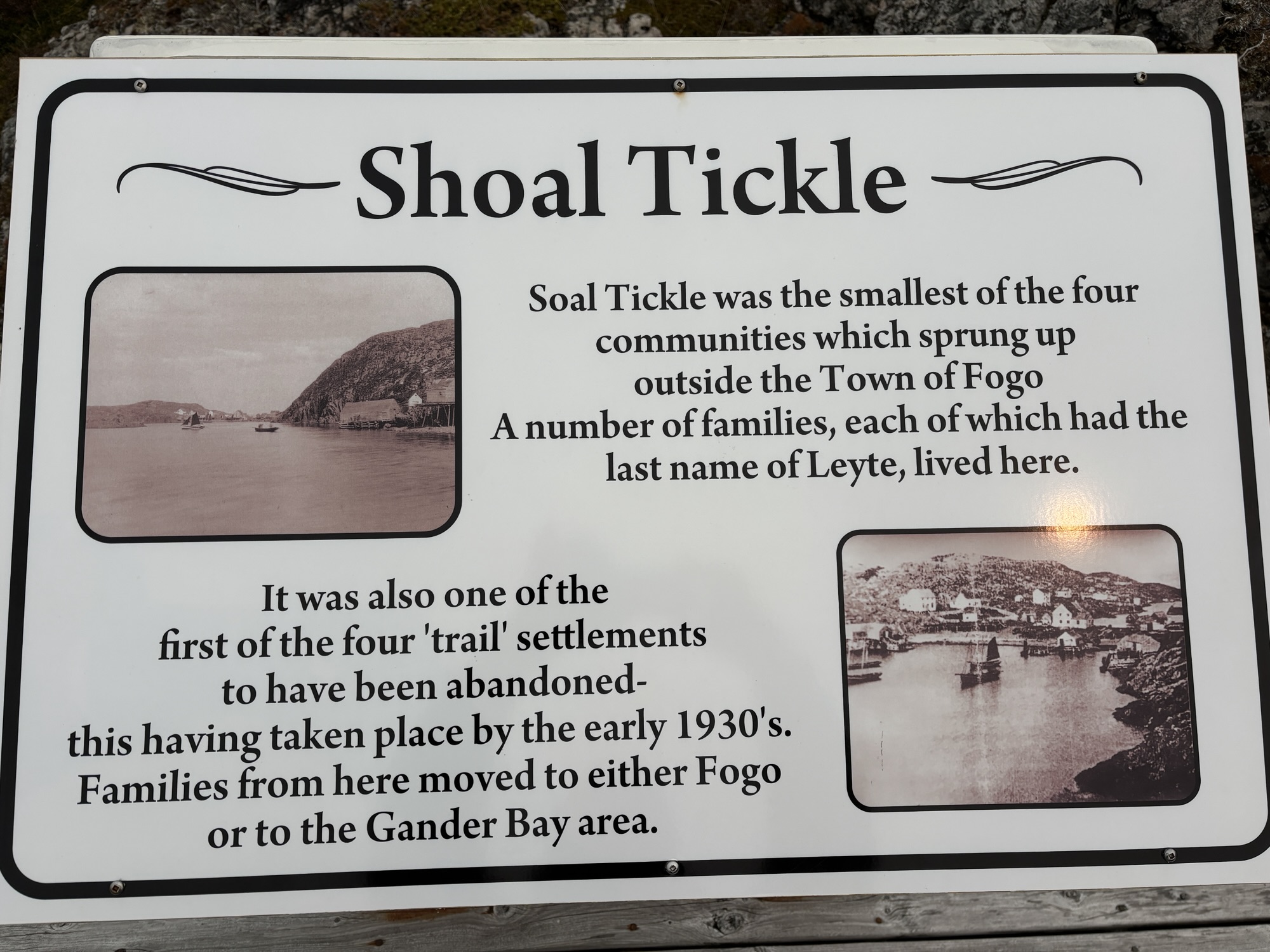
On our last day we selected another of the hikes called The Lion’s Den. This hike covered grounds that had been four fishing settlements starting back in the 1880’s. The settlements had been small (40 – 100 residents) but active until they decided to abandon the site in the 1930’s-1950’s and literally floated, yes – floated, their houses across the water to a more inhabitable site or into Fogo itself. I can’t imagine how they did that. And you would actually have to see the area to even get an inkling of the task. The hike was again challenging but also very historical and informative.
So, three great hikes and lots of art and craft shops in between. One thing we really enjoyed was visiting with the local residents and shop owners. Their stories and, of course, the different crafts we so colorful. And Gail especially liked all the knitting. So, all in all, we felt that we had covered Fogo Island very well.
The last morning, we were up early to get in line again at the ferry dock in Stag Harbor for the trip back to the mainland. We got there and were again second in line. We unhooked jeep and were ready when they called us to drive onboard. We ended up being the very first vehicle in line at the front of the ferry and reconnected the Jeep. When we docked back in Farewell, we were the first off and had everyone else following like train cars behind us. Felt good!
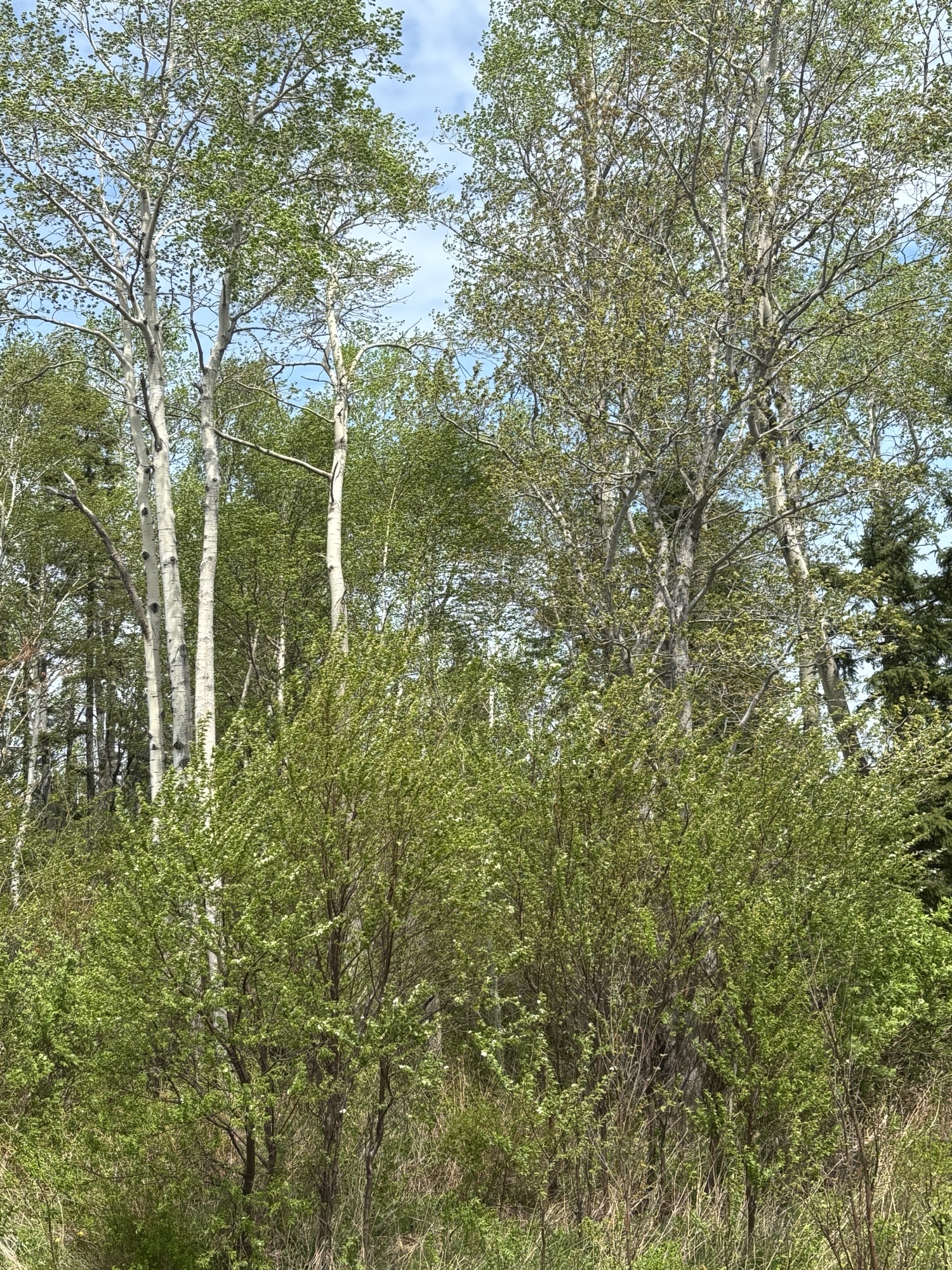
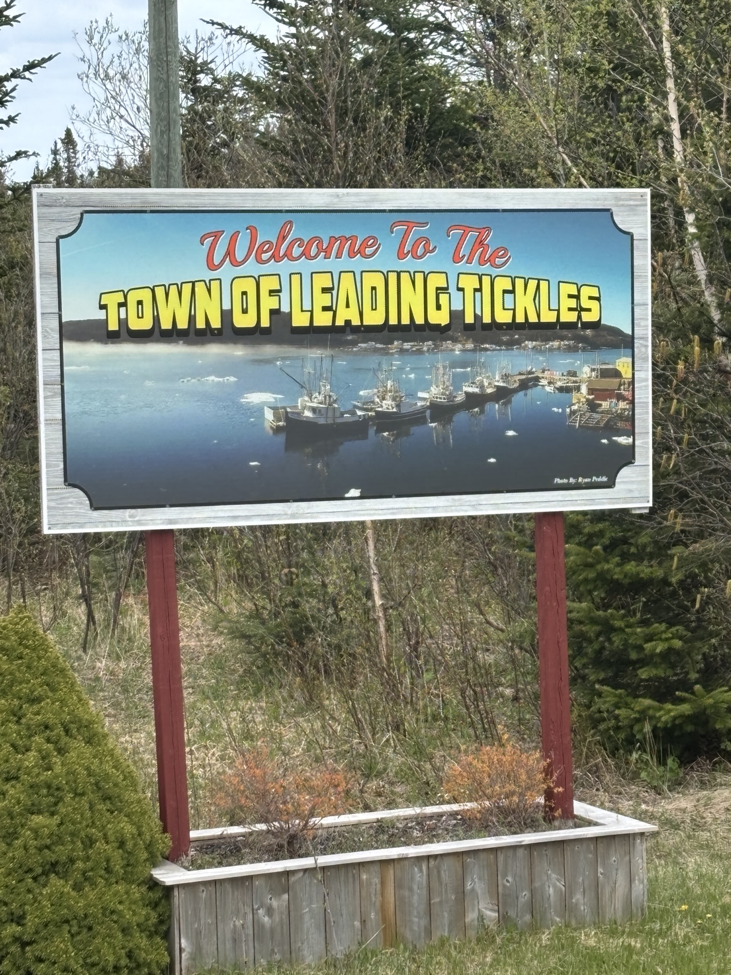
We headed off to Leading Tickles about 130 miles away. (BTW – Tickles is not about making someone laugh! Used only in the Atlantic Provinces of Canada, it means a narrow straight of water or small harbor or bay. It is used a lot around here.) The temperature was climbing to almost 80 deg! And Gail commented about the trees beginning to leaf and turning green! Such a quick change!
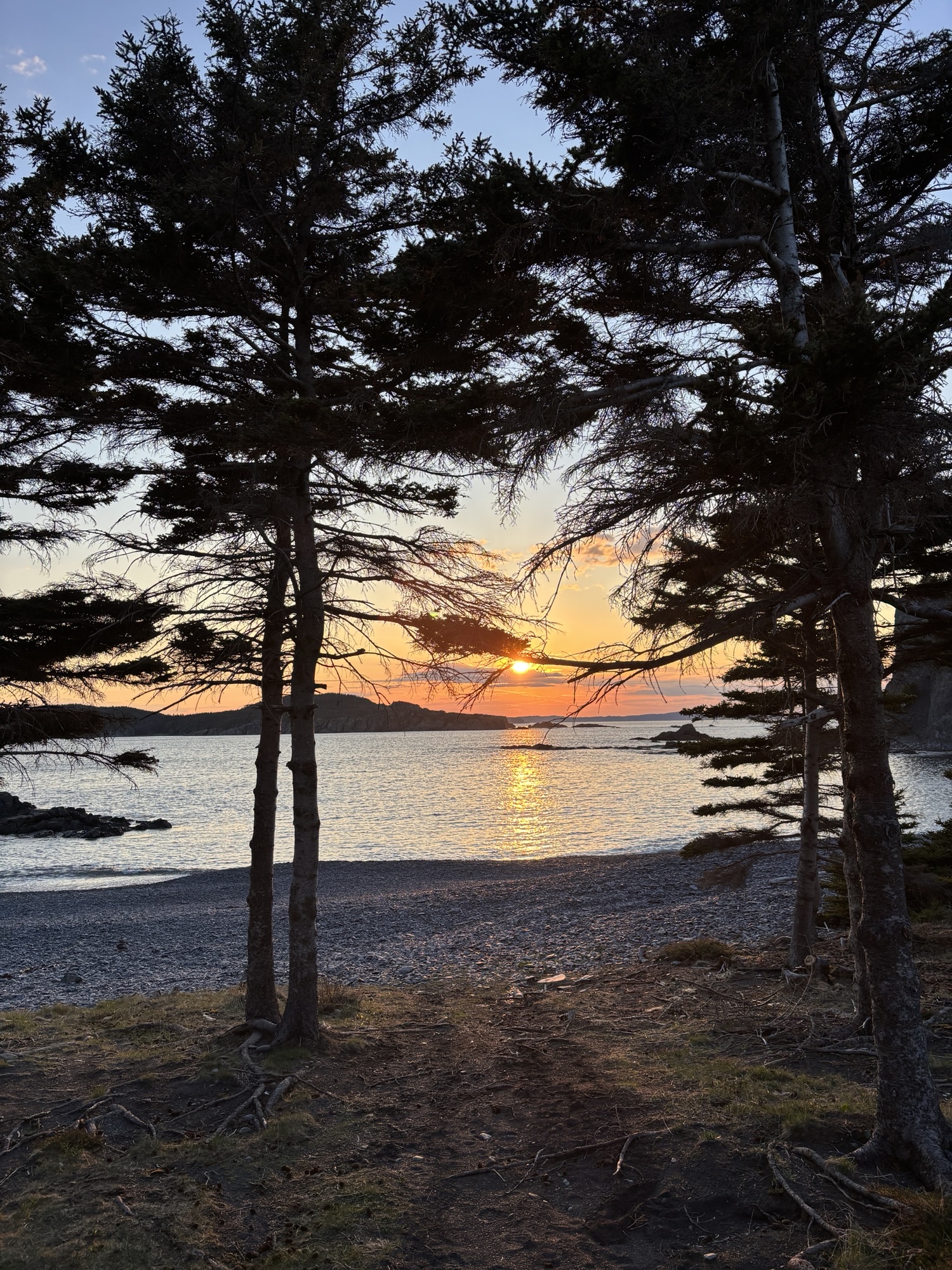
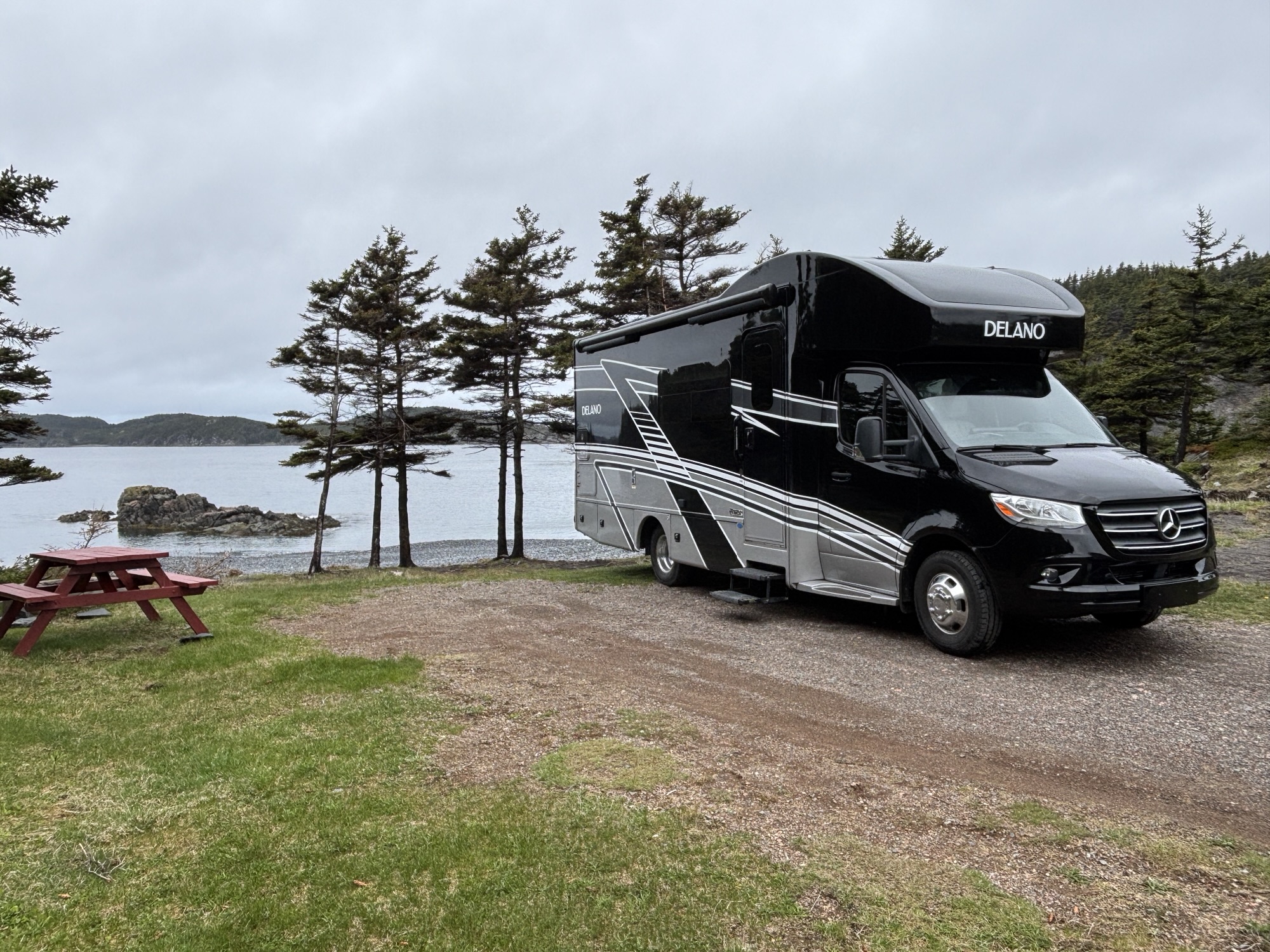
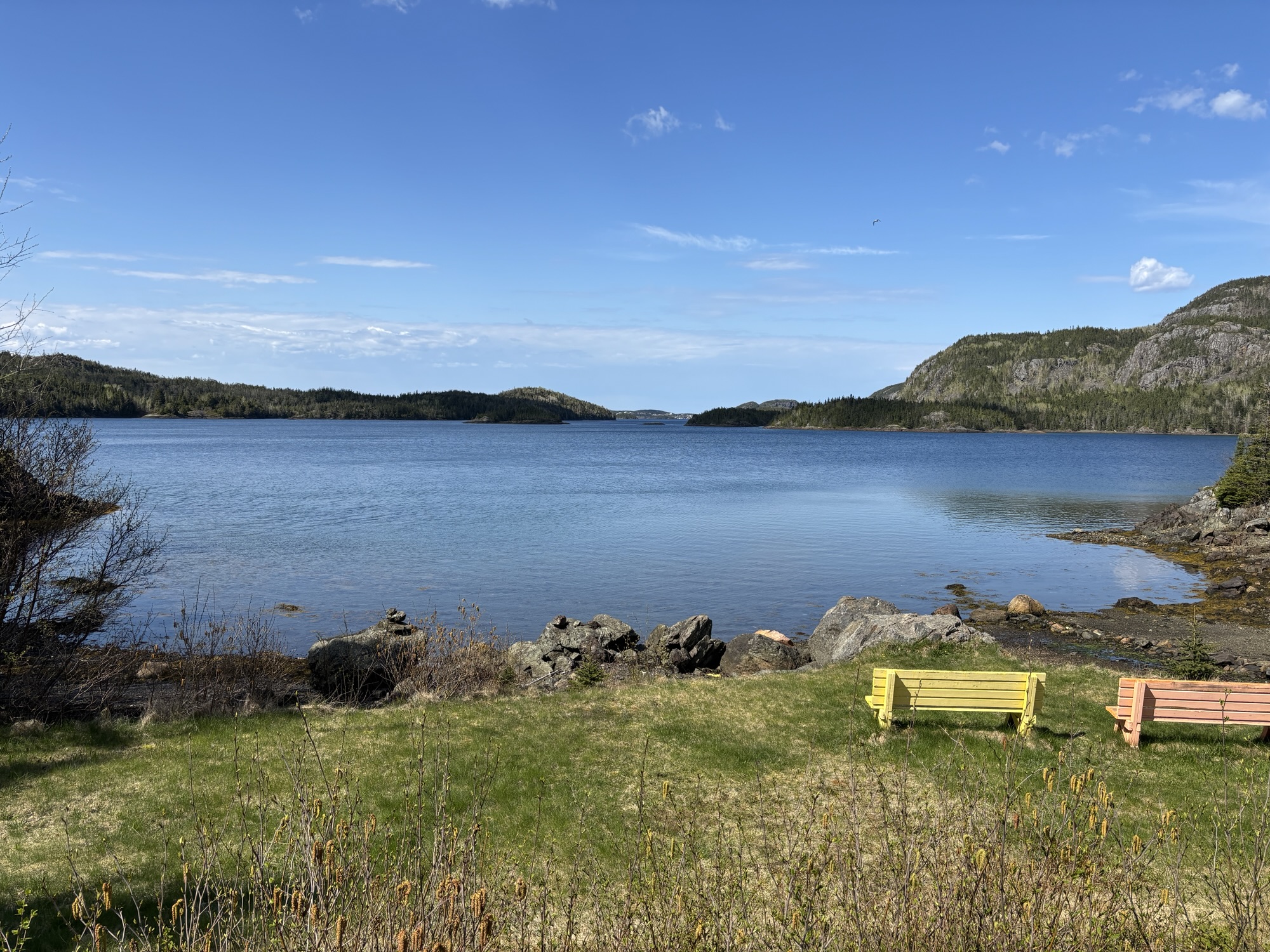
Leading Tickles had been recommended by some RVers we met last year so I added it to the agenda. The drive was easy and partly back on the TCH Hwy 1. It is at the end of the road on another peninsula in Notre Dame Bay. The RV park is called Oceanview and it is that! We got a pad right on the water. Gail commented that it is one of the prettiest spots we have stopped at on the whole trip!
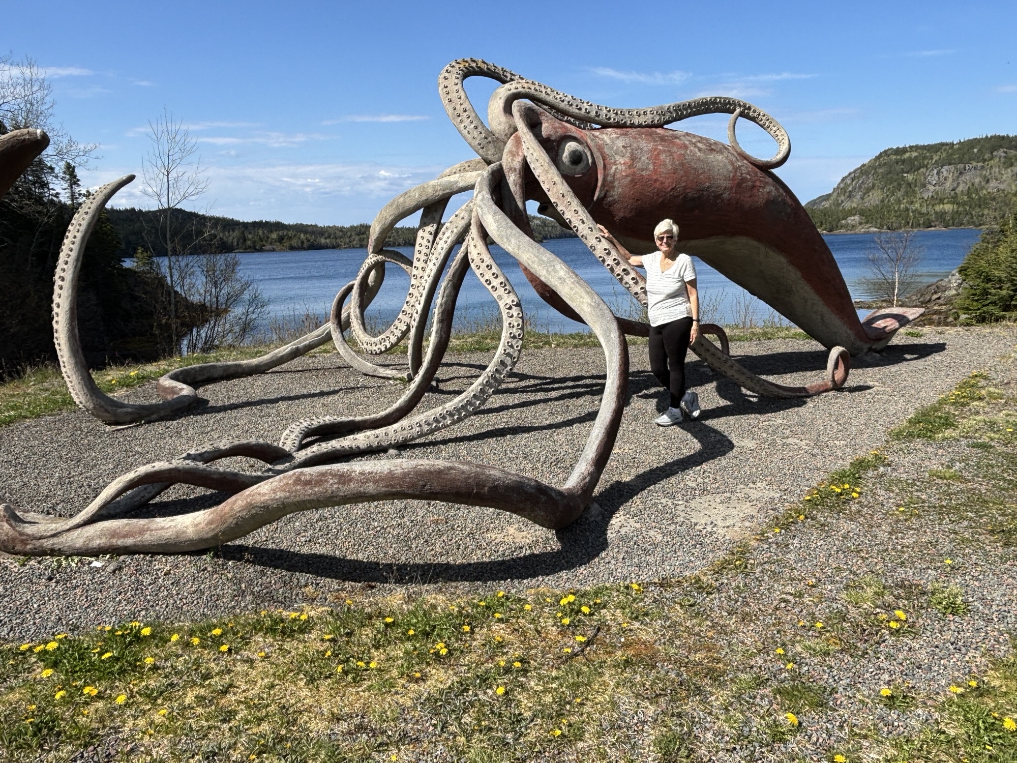
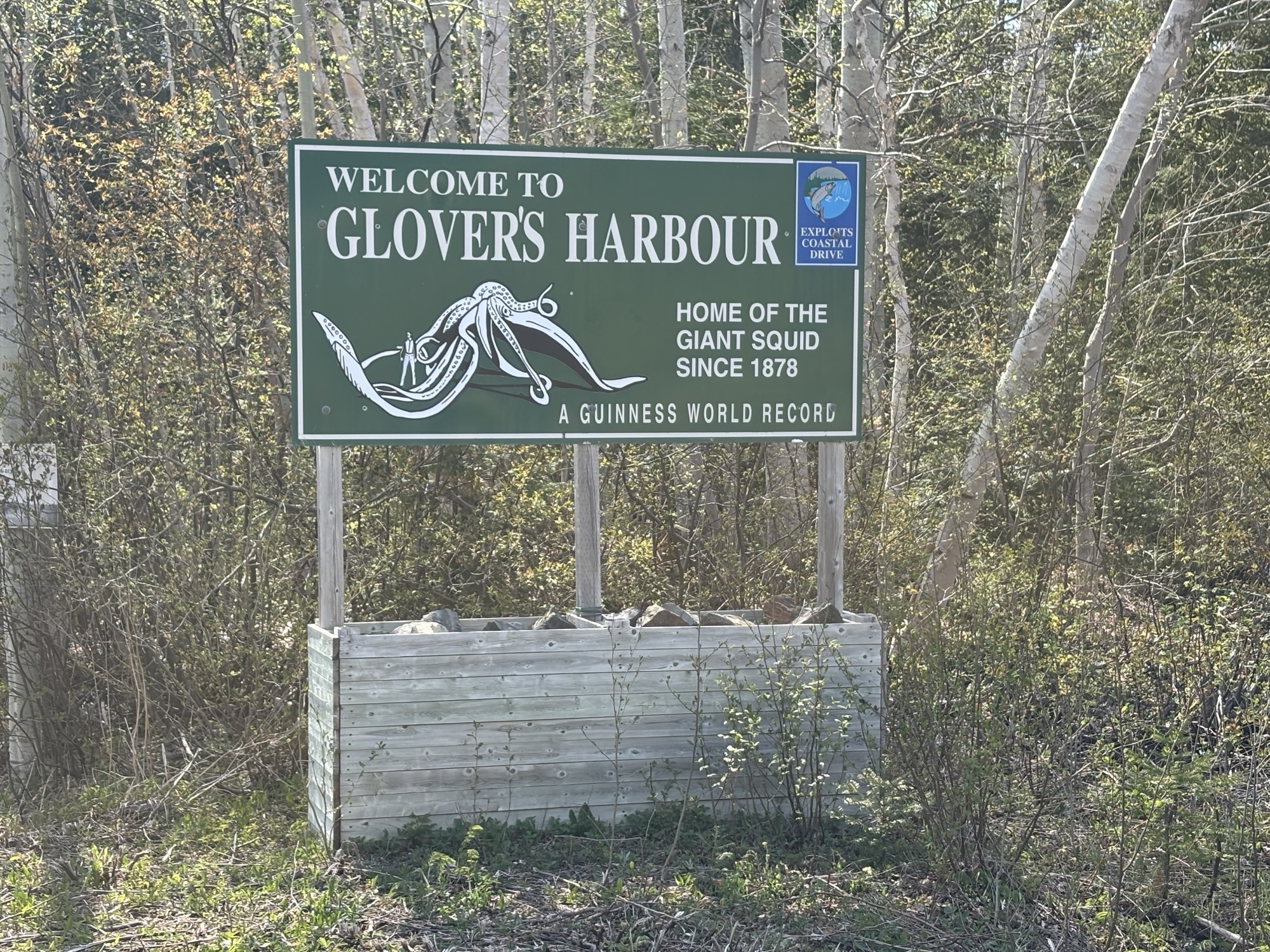
The first thing to check out was the Giant Squid statue! Yep. In the next town over, called Glovers Harbor, there is a life-sized statue of the Guiness Record giant squid that washed up on their beach in 1878. There were no photos (and no leftovers), so the record is based on history, stories, and lore! The size was reported to be 15.8 meters (about 52 ft) long. Today, there are some that say the size may have been exaggerated. Whatever, it is famous, was used on a Canada stamp in 2011 and there is an annual festival held in town in its honor! And overall, it is a must see and located on a beautiful bay.
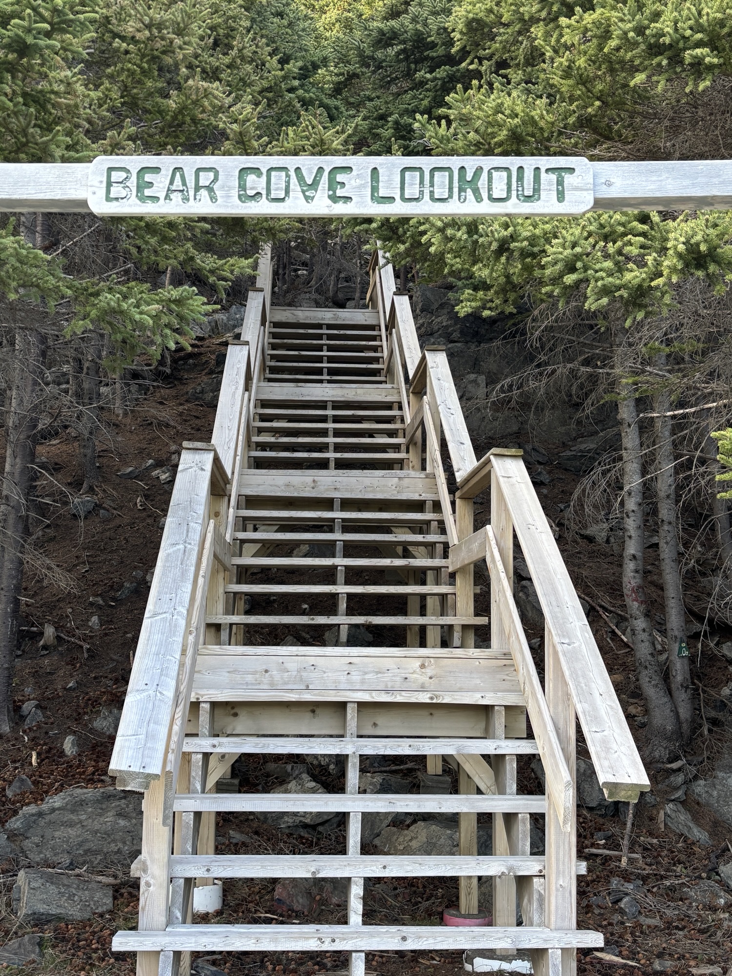
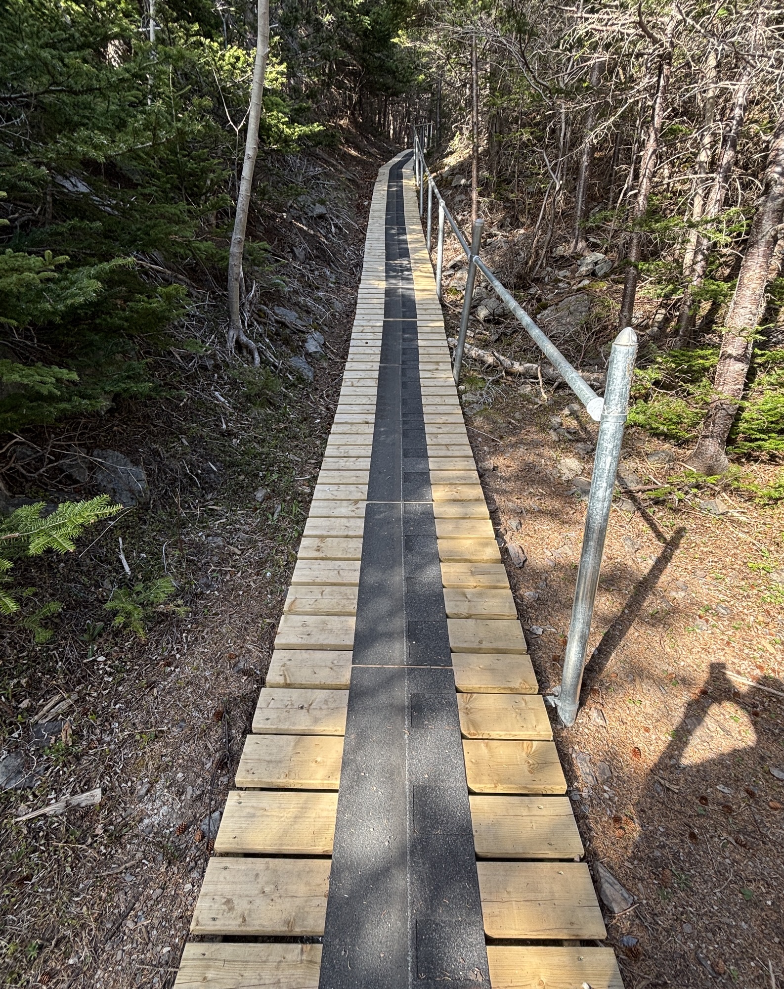
Next, we managed a short and almost vertical hike in the RV park up to the Bear Head Lookout for a beautiful view of Notre Dame Bay looking north. There was a wooden platform at the top to view the ocean. Great end to a nice day.
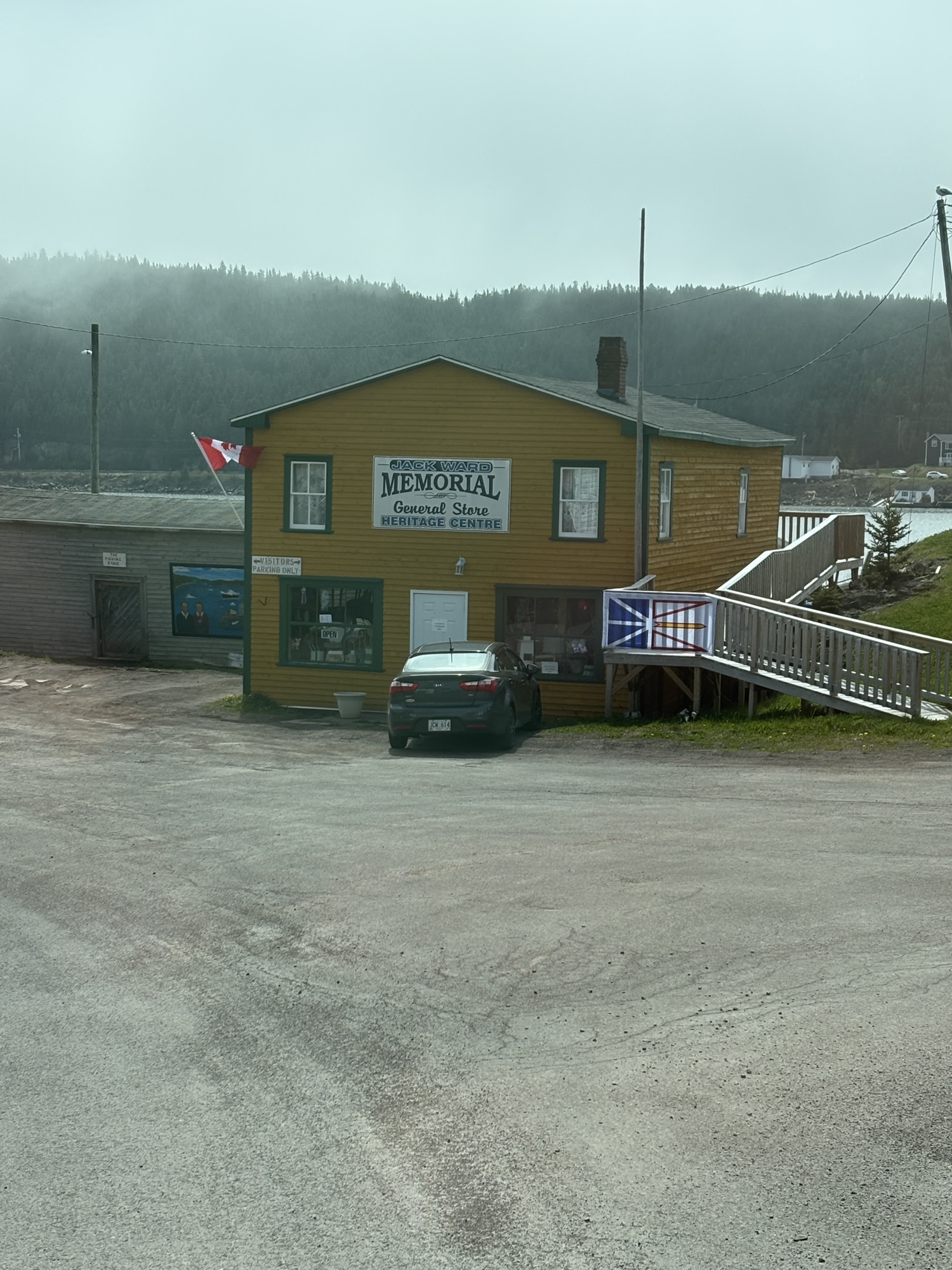
Woke up to fog, wind and cold! Such a change from yesterday. And that put a kibosh on our hiking plans. Couldn’t see anything anyway. So, we modified our plan and just went to see the Heritage Center down at the marina. This is a building that was the general store for the town with the home for the owner upstairs. It is now a craft store and museum of the way that life was in Leading Tickles over the past 100 years. There were some familiar items that both Gail and I remembered from our life as well. Interesting! We must be getting old.
We finished up a few service items on the RV and got caught up on things (like the blog!) and got ready to go west again. And Gail made chili to warm us up! End of a lazy day and busy week. But there is a lot of excitement coming up! Check back soon.
