
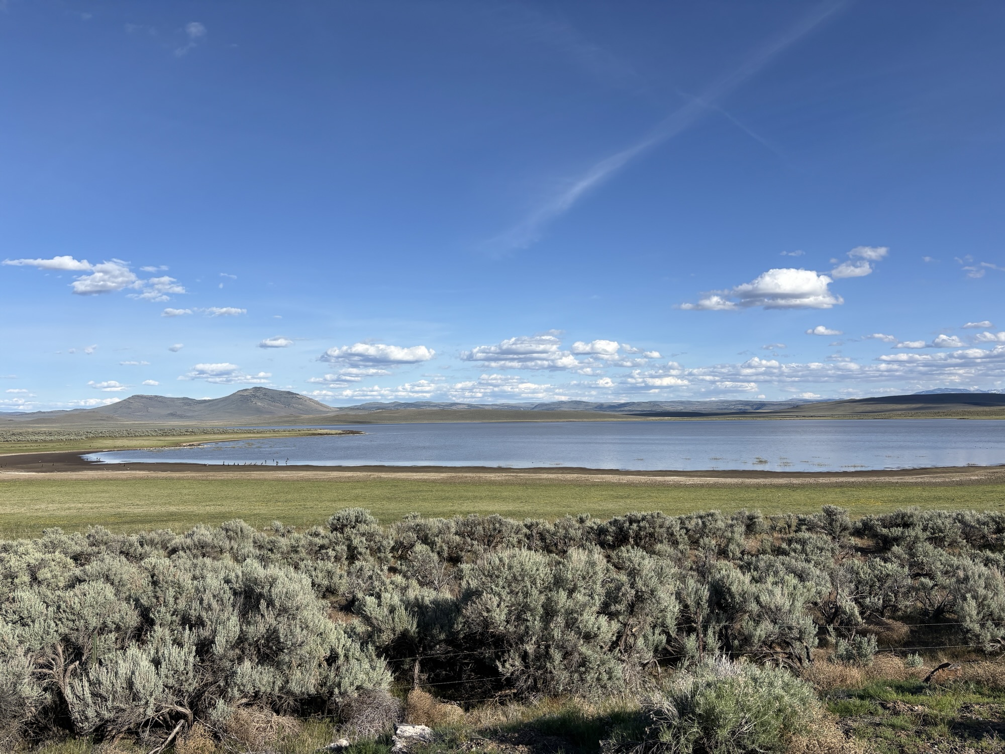
Heading out of Burns the landscape was the same for miles. There is no way to show it in a photo or really describe it in words. The drive was mostly straight and flat. The prairie was covered in sage brush and more Rubber Rabbitbrush. We didn’t find out why. But it was as far as the horizon. Among the bushes there were cattle trying to find some Oregon fescue or other grass to feed on. Most of the fields were unfenced too and signs reminded you of livestock possibly on the road.
But as mundane and boring as it may sound, the scene was strangely mesmerizing. The distance from Burns to Bend is about 130 miles along US Hwy 20. It’s also a main road for trucks so it’s busy. We drove along and stopped only to take a few breaks. In the small little town called Brothers, about halfway, there was a nice pullout with a couple selling baked goods. Couldn’t resist the brownie, Rice Krispies treats, and the peanut butter cookies! Oh, the temptations of travel!
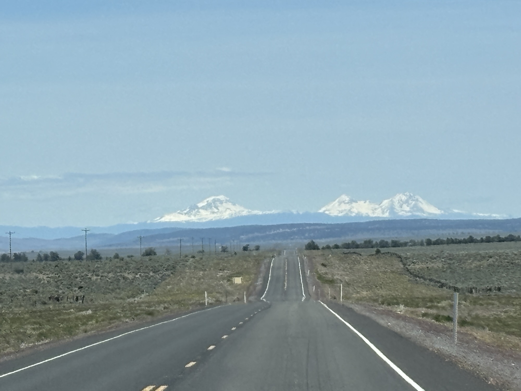
And on the outskirts of Bend the scene starts to change. There are more trees along the road and the road curved more. By the time you get to Bend, the forest is prominent. We had entered part of the Deschutes National Forest and into western Oregon Cascade mountains on to the Pacific coast.
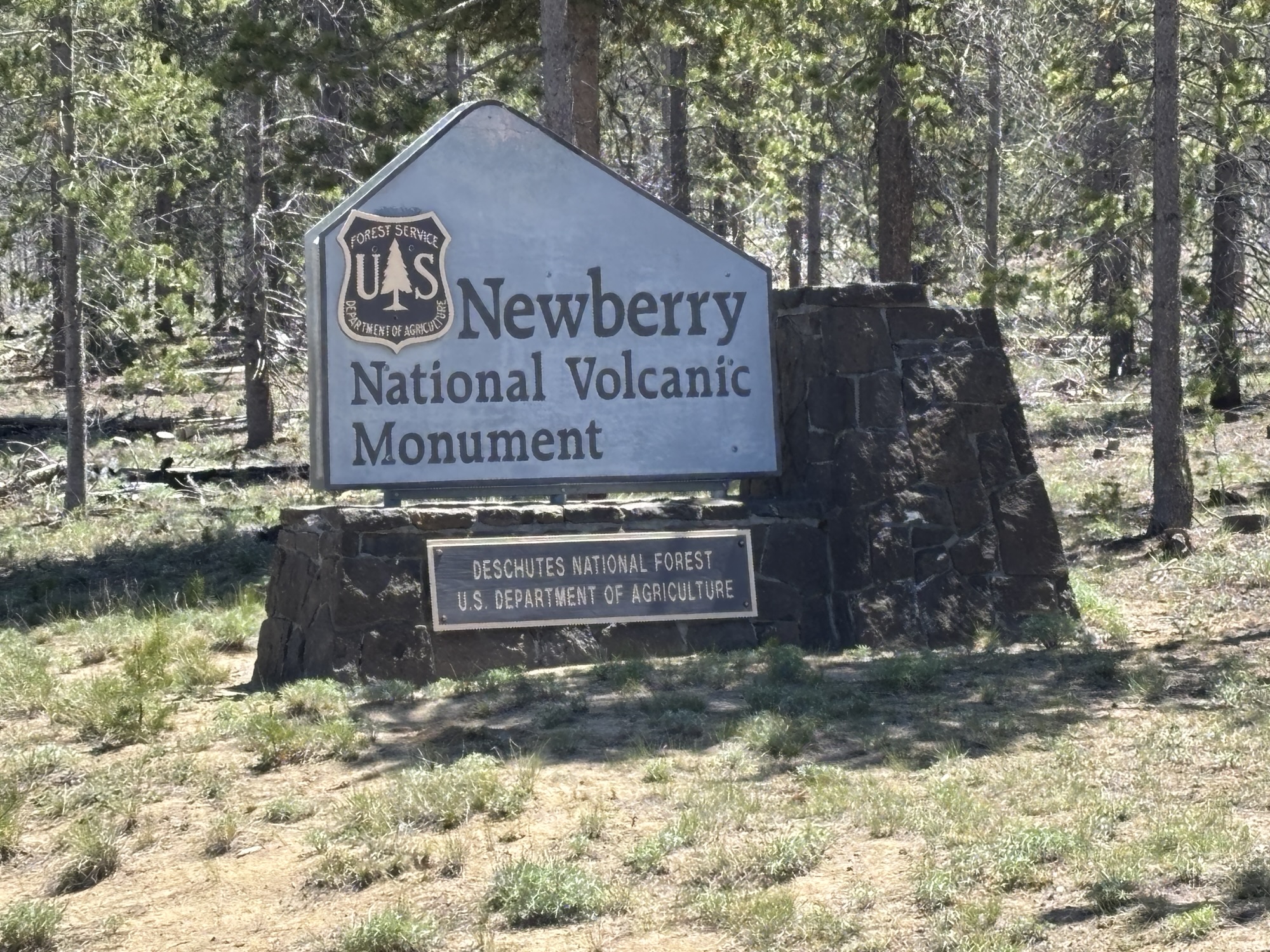
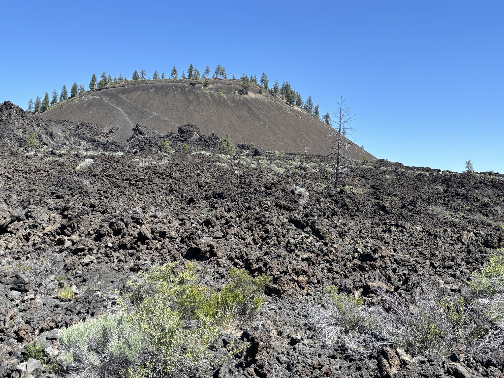
We took a shortcut road from US 20 to south US Hwy 97 toward our RV park and were suddenly aware of a new landscape. Right next to the highway was evidence of lava flows and a volcano cinder cone. Now that was definitely unexpected! The sign said Newberry National Volcano Monument, and we decided it surely needs to be further investigated. But first to the RV park.
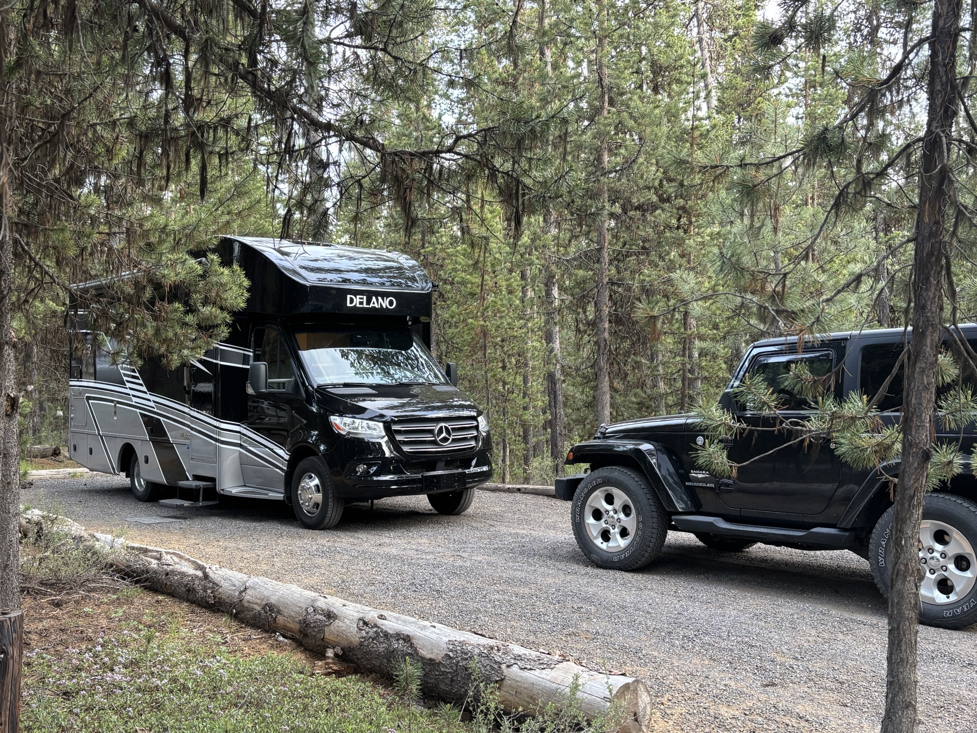
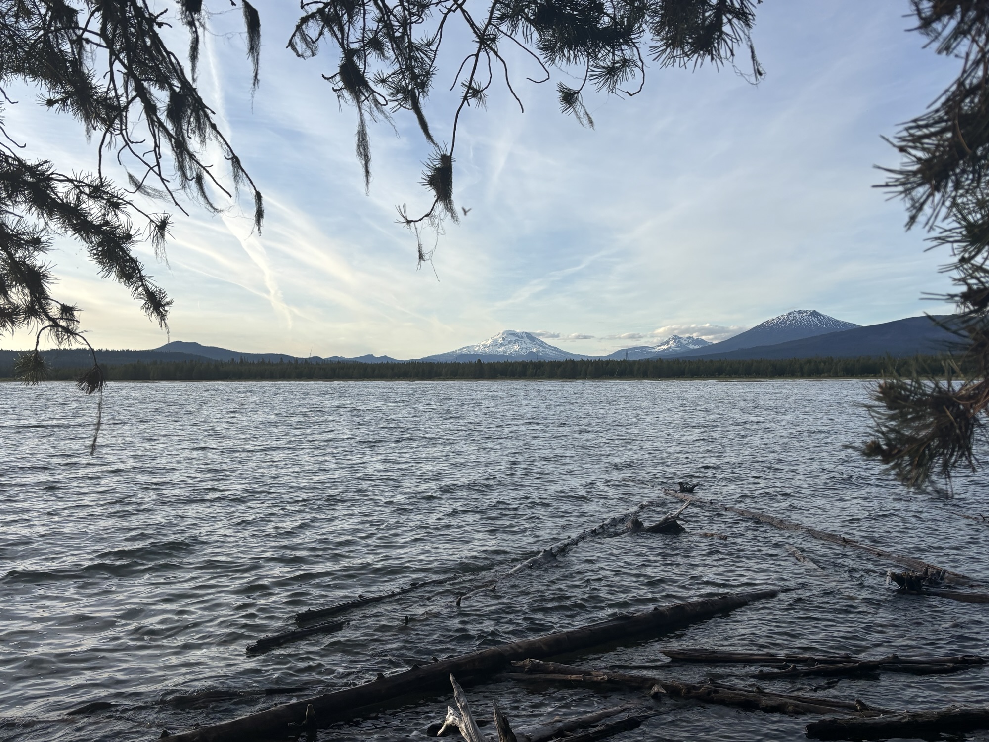
We drove along US 97 and turned off toward the Crane Prairie Resort RV Campground. It is located on the Crane Prairie Reservoir and a popular place for fishing. Our spot was in the center of the park with full hookups. Although it is a very nice park, it turned out to be quite a drive back to the area we want to go see. We did a quick trip into La Pine to find a grocery and were happy to discover Ray’s Food Place. Definitely recommended if you need provisions in the forest area.
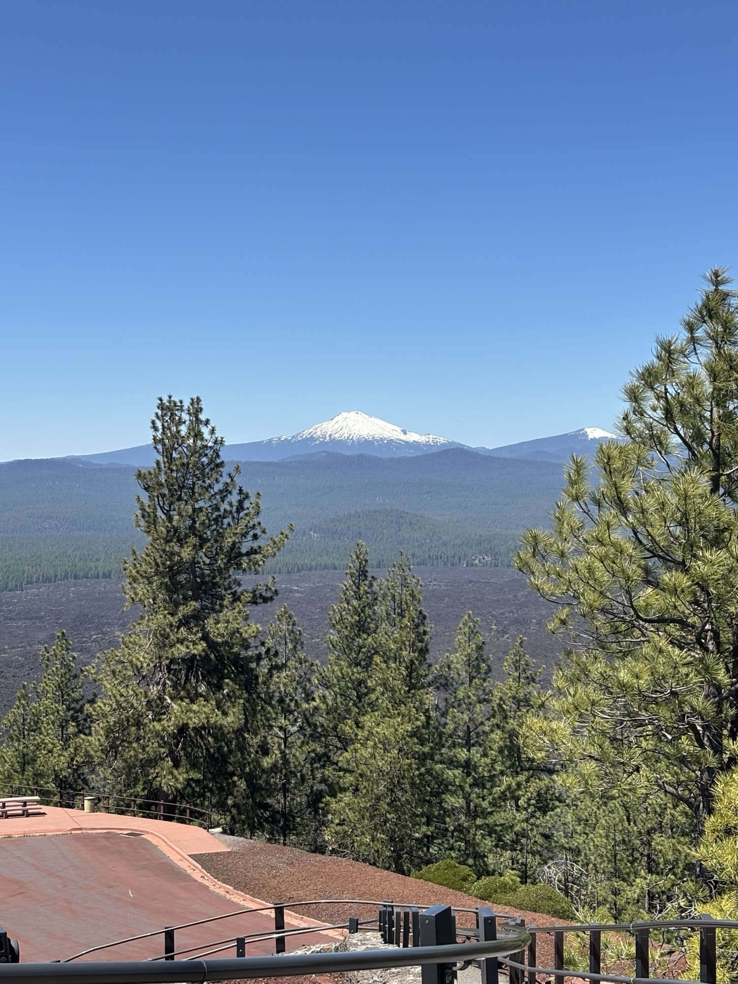
The next day we were on the way to find out more about the lava fields and volcano cone we had seen on Hwy 97 coming into town. We made it to the Lava Land Visitor Center and met a very friendly ranger who explained the whole picture. He also explained that the area is designated a Monument vs a Park because it is controlled by the Forest Service instead of the National Park Service.
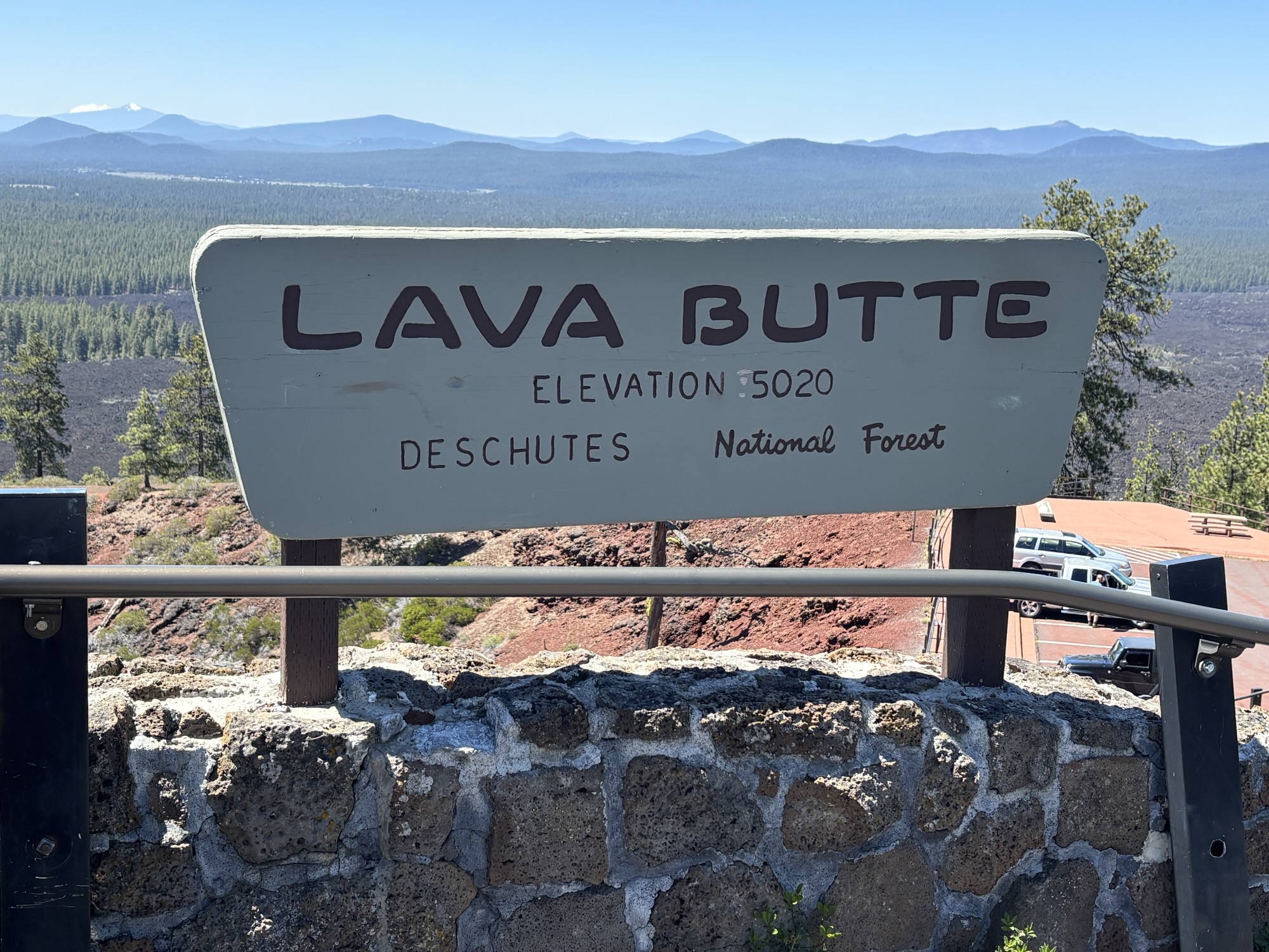
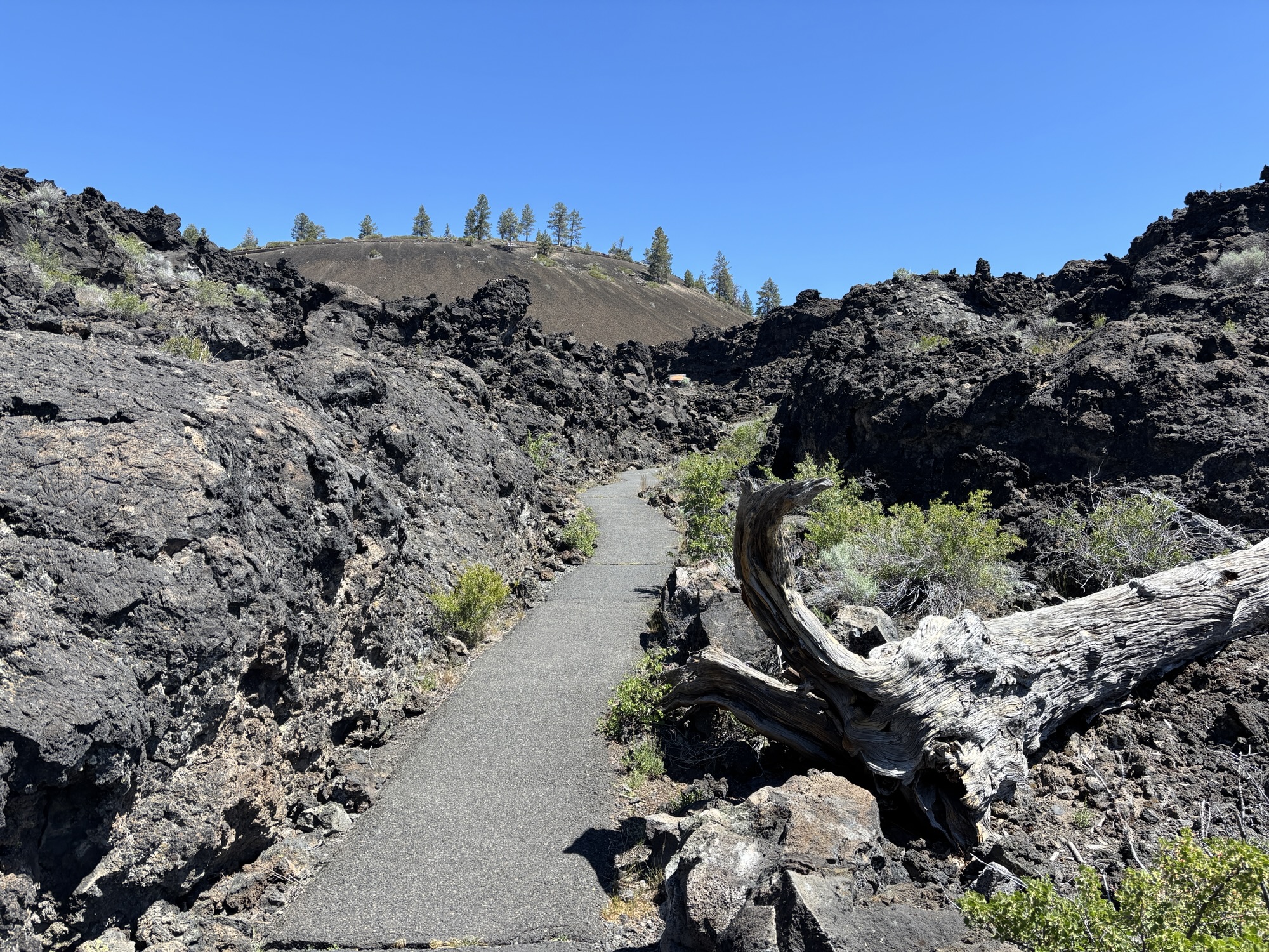
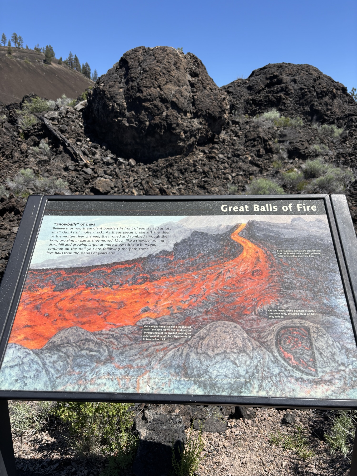
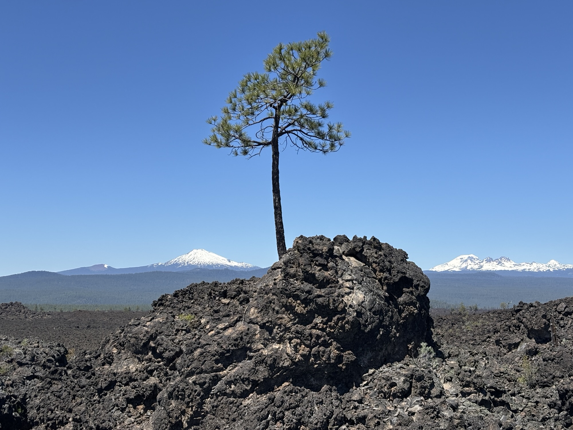
This wasn’t just a one time/one place volcano. This was the complete lava flow that covers 25 miles further to the south of Bend including the Paulina Peak and Paulina Lake along with the Big Obsidian Flow. We hiked the lava field to see the flow up close and then drove up to the peak to see the entire lava field. It’s amazing to think about it actually happening and I thought about the scenes of the volcano eruptions now in Hawaii and how they might be similar to what it was like.
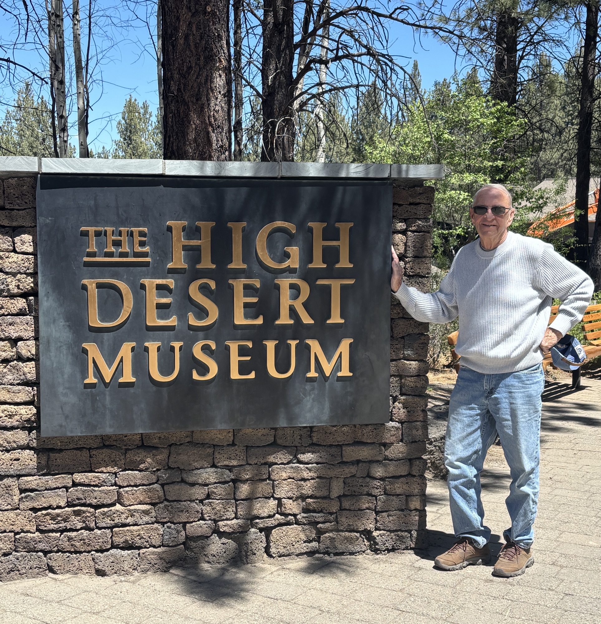
We also stopped at the High Desert Museum hoping to find out more about the ecology of the area. The museum was very nice, but more of a natural history museum, so we took a quick look and headed on to Bend for a bite to eat.

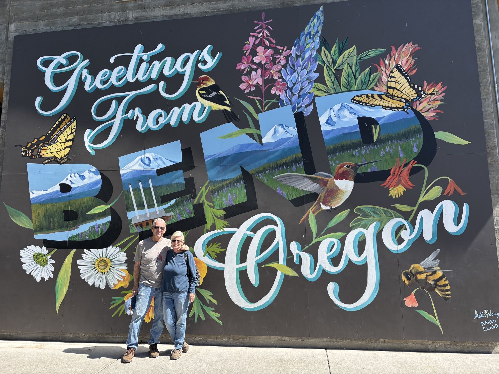
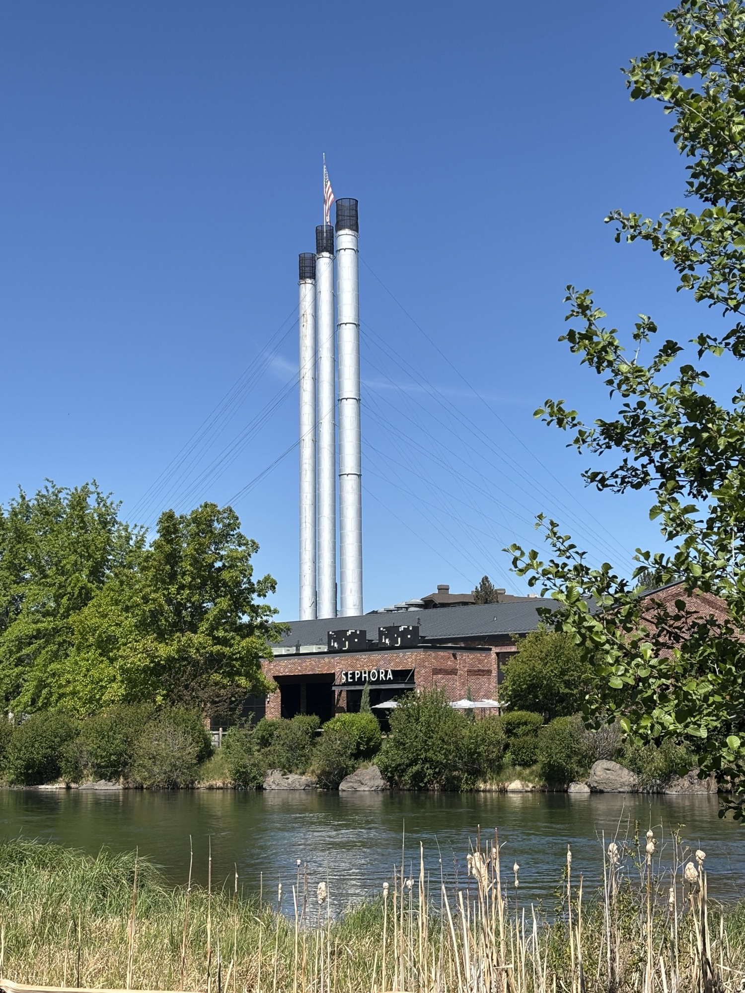
We found the Old Mill Center. It is right on the Deschutes River, and the old mill area was for the lumber industry. But it was now the center for shopping, dining and paddle boarding. And being across the river from the amphitheater, we were treated to Brandi Carlisle rehearsing for her concert later that evening. We got a corn beef on rye sandwich, a Dr. Brown Cherry Soda, and very large toffee chocolate chip cookie at the deli and sat outside to watch the people go by on the river. We also checked out the Dudley Bookstore, drove around the old downtown a bit, but skipped the last Blockbuster in existence before heading back to the RV.
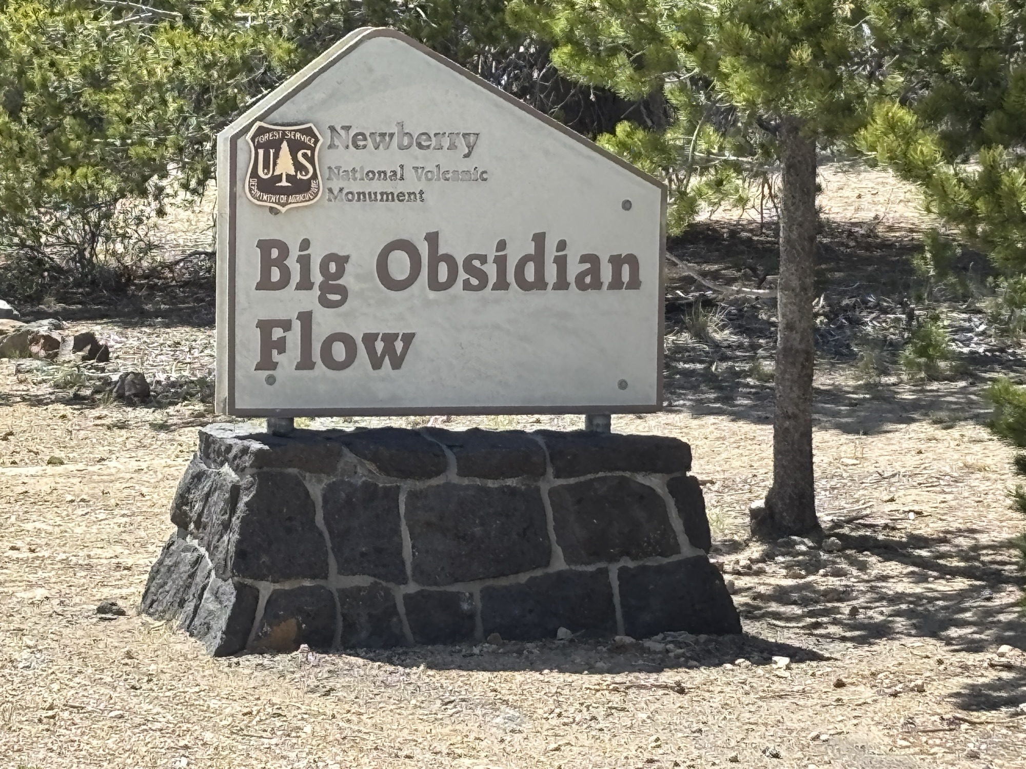
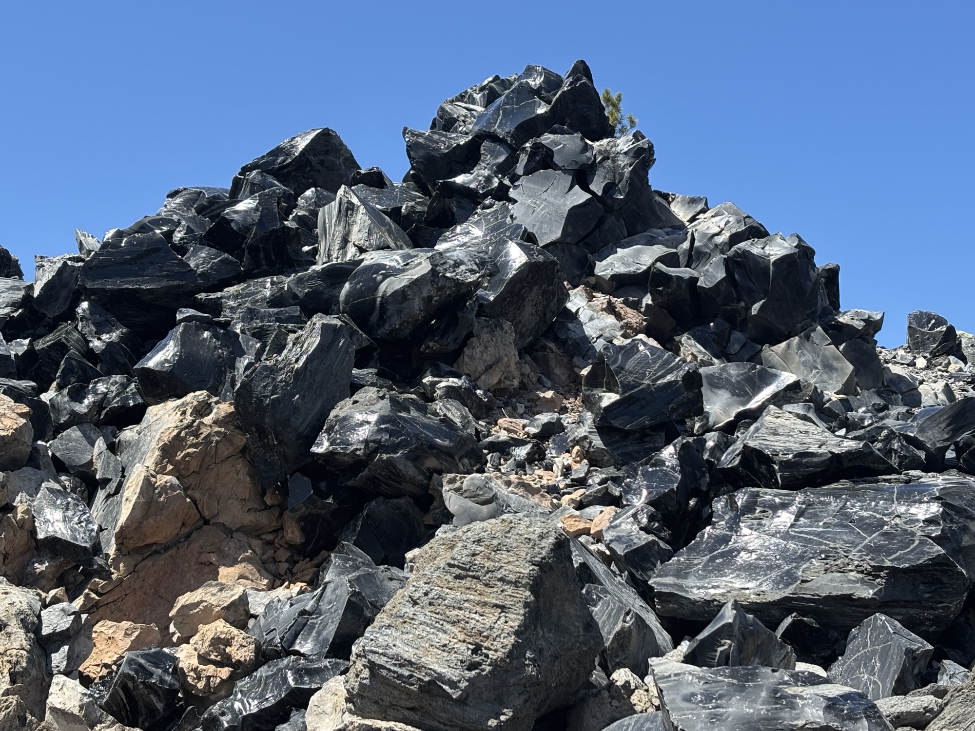
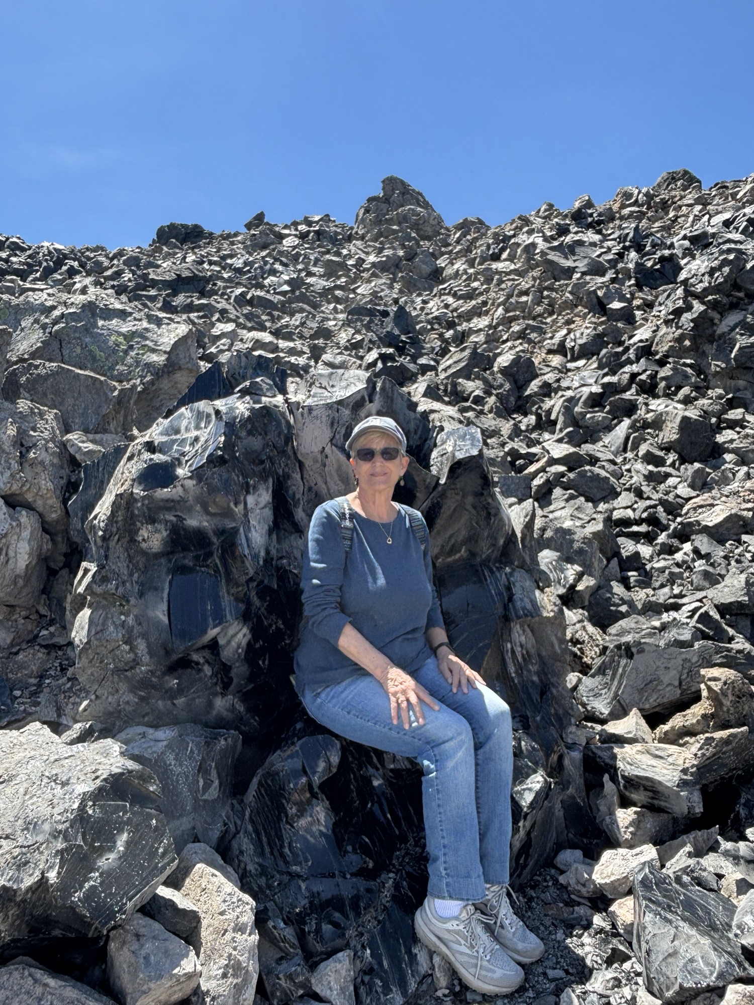
On our last day in Bend, we went to the Old Obsidian Flow hike. To explain, the rock formations coming out to the lava flow have different characteristics. Obsidian is the black shiny glass-like rocks that we have all seen and that the Indigenous tribes used for tools, arrowheads and trade. But on this walk, the obsidian is in boulders, with smooth and sharp edges. And lots of them. An amazing hike.
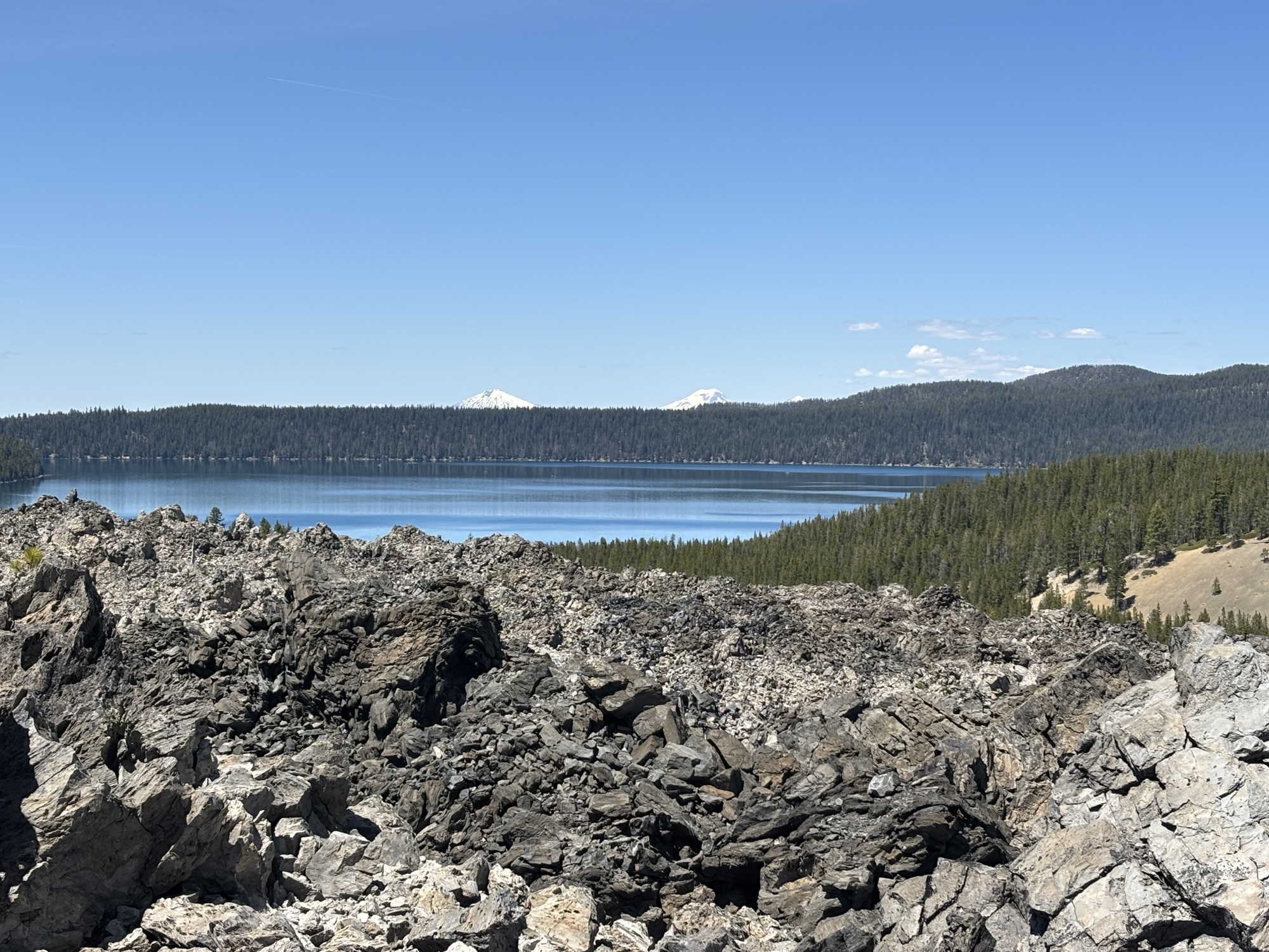
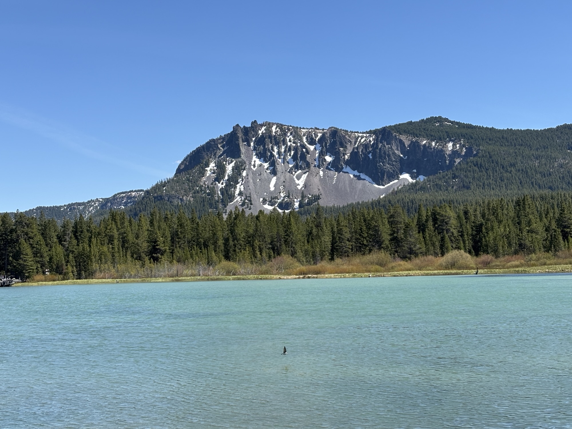
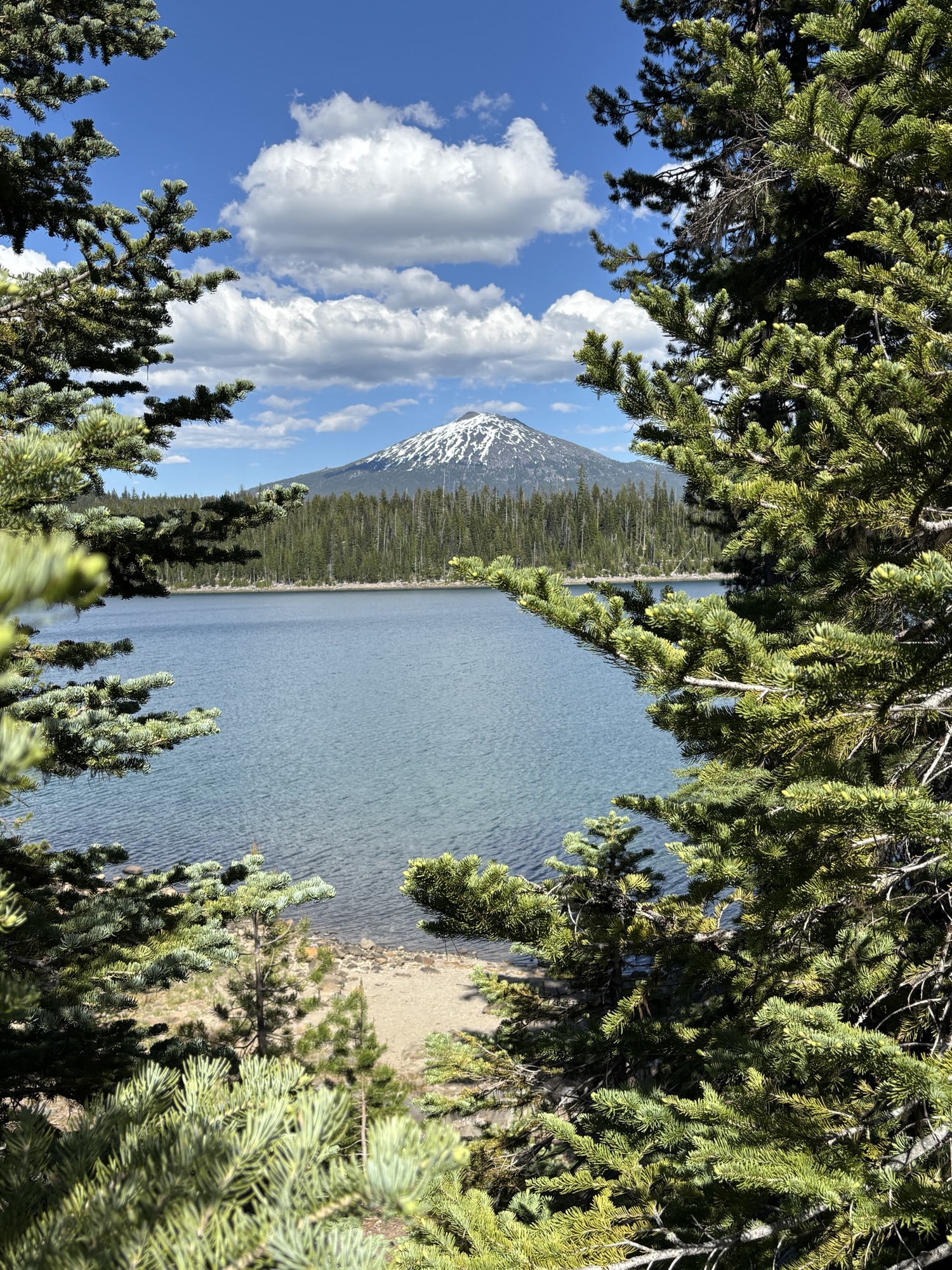
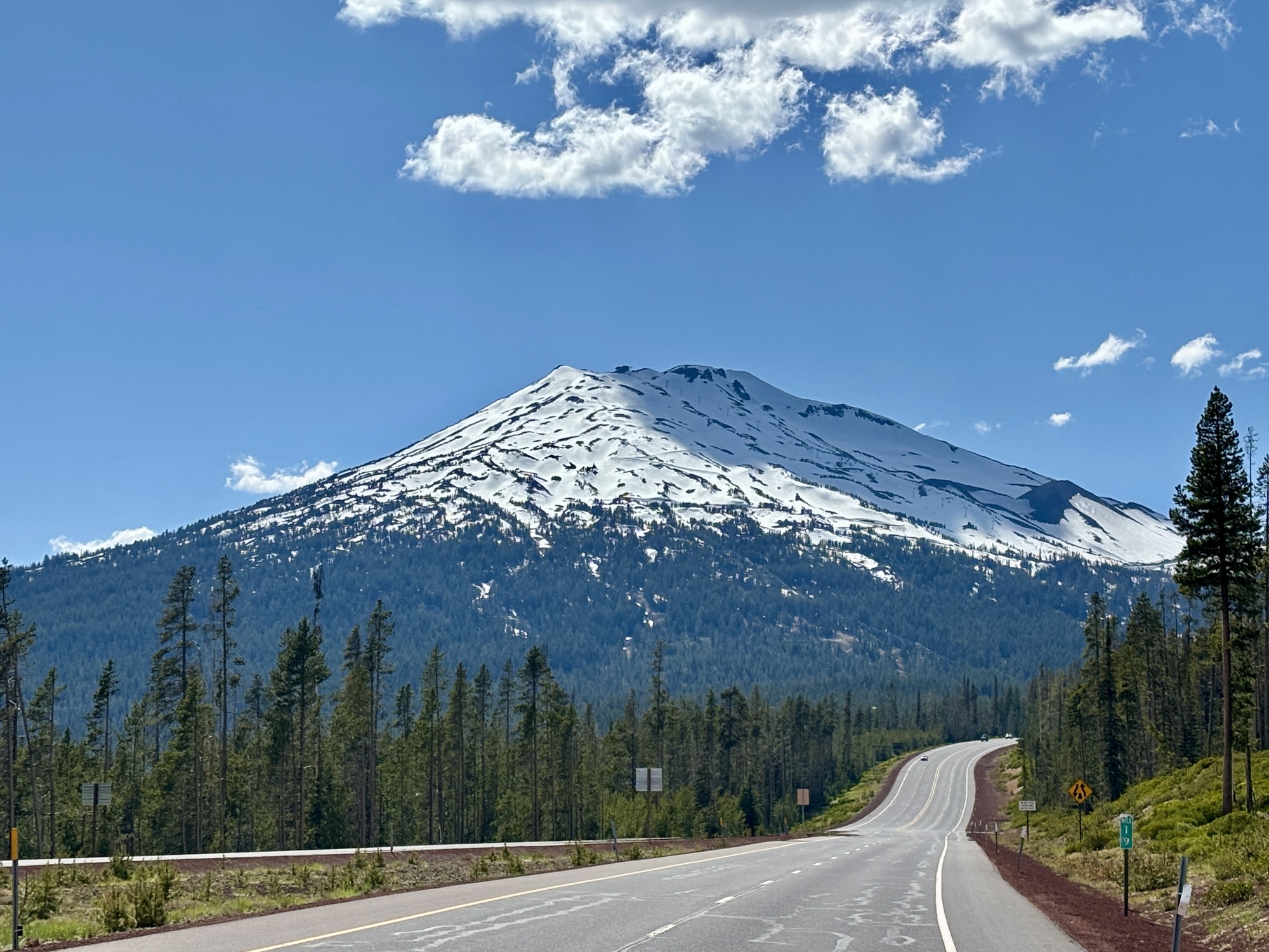
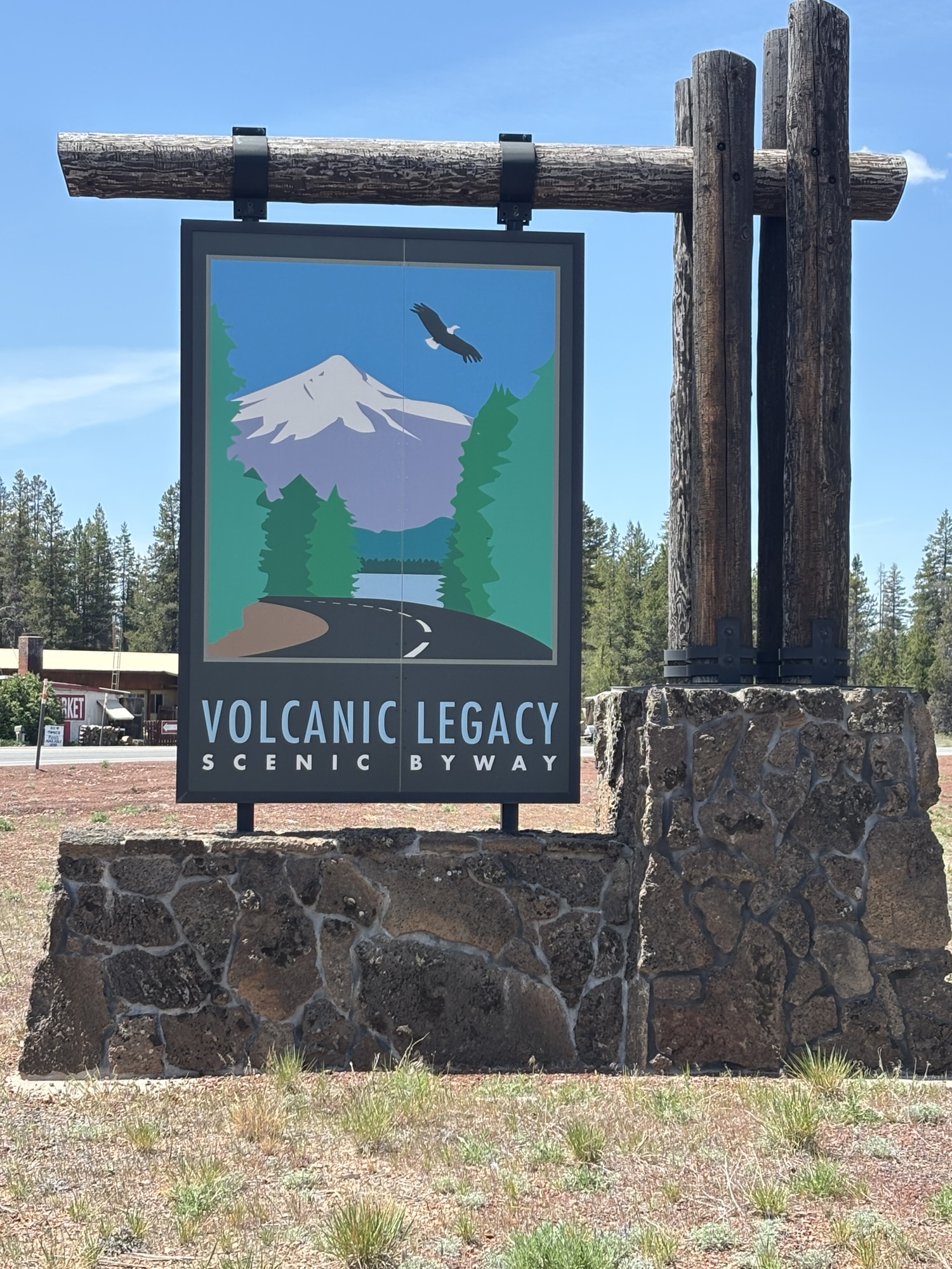
And on the way back to the park, we drove the Cascade Lakes Scenic Byway around Mt. Bachelor and down the edge of the Cascade Mountains with lakes lining the road. It was a very pretty drive and a good way to end our visit to the Bend area. And a surprising visit it turned out to be!
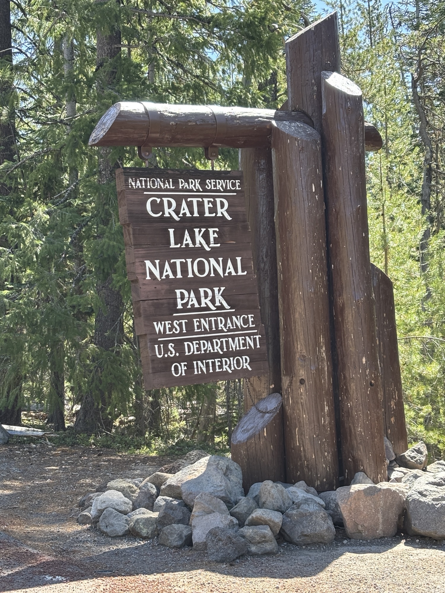
Now it was on to the must-see venue of Crater Lake National Park. Our RV Park was in Prospect, OR about 50 miles from the south entrance and the only open entrance. As it turned out, the majority of the rim road around the park was closed due to snow cover and/or construction so we were in a good spot. It was also the Sunday before Memorial Day and the park was crowded. But we got there early enough and with our Senior Pass got to pass a large line of cars at the entry.
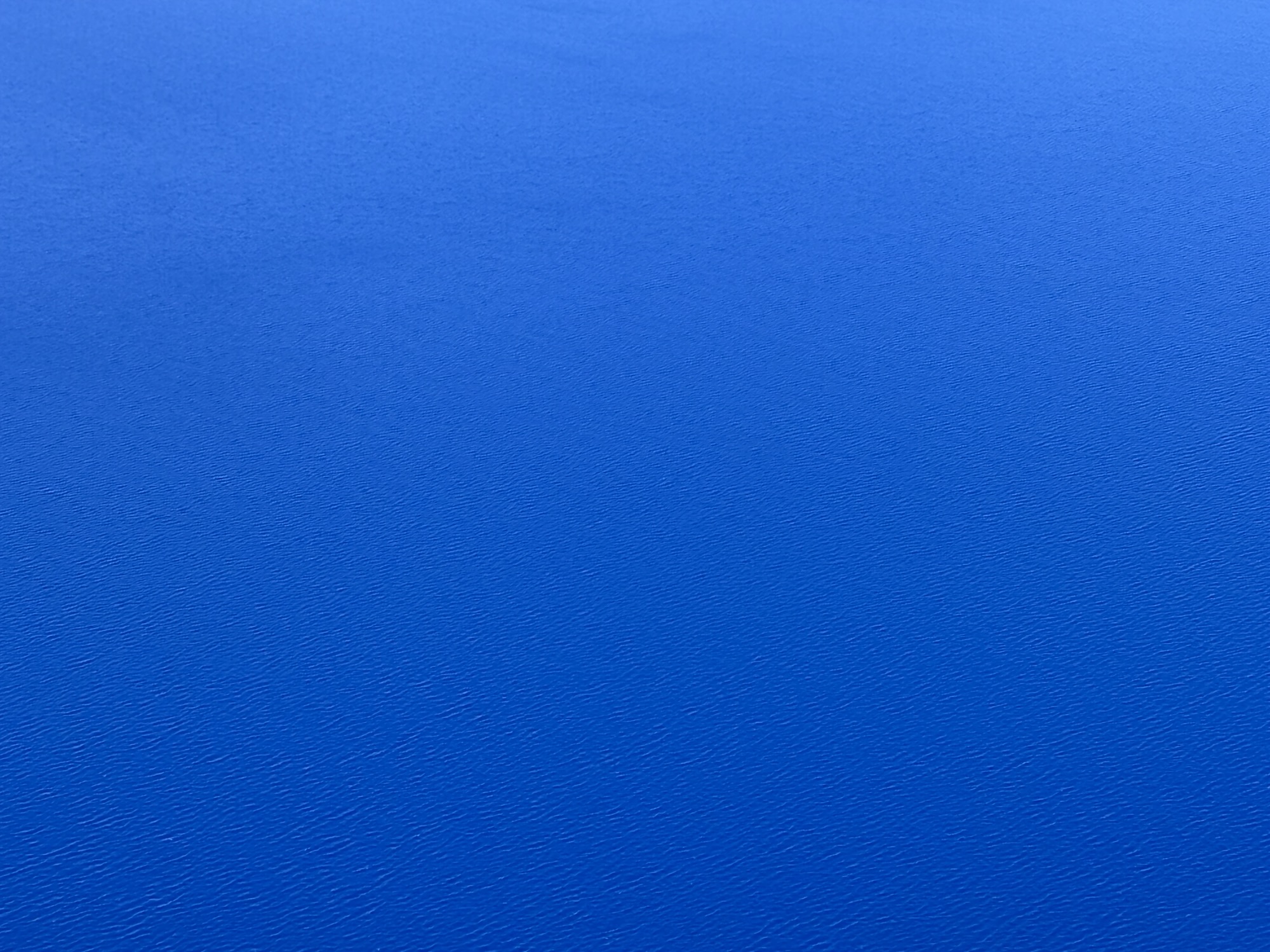
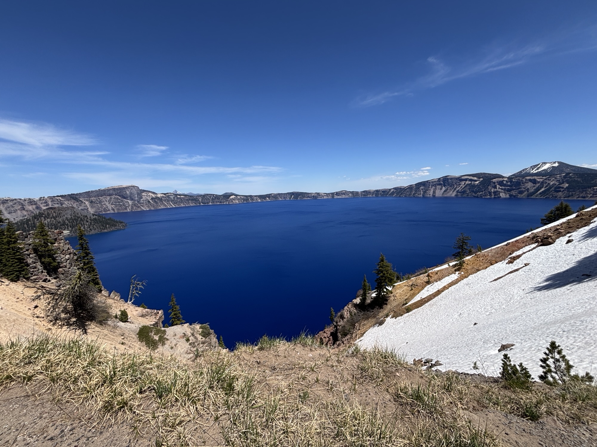
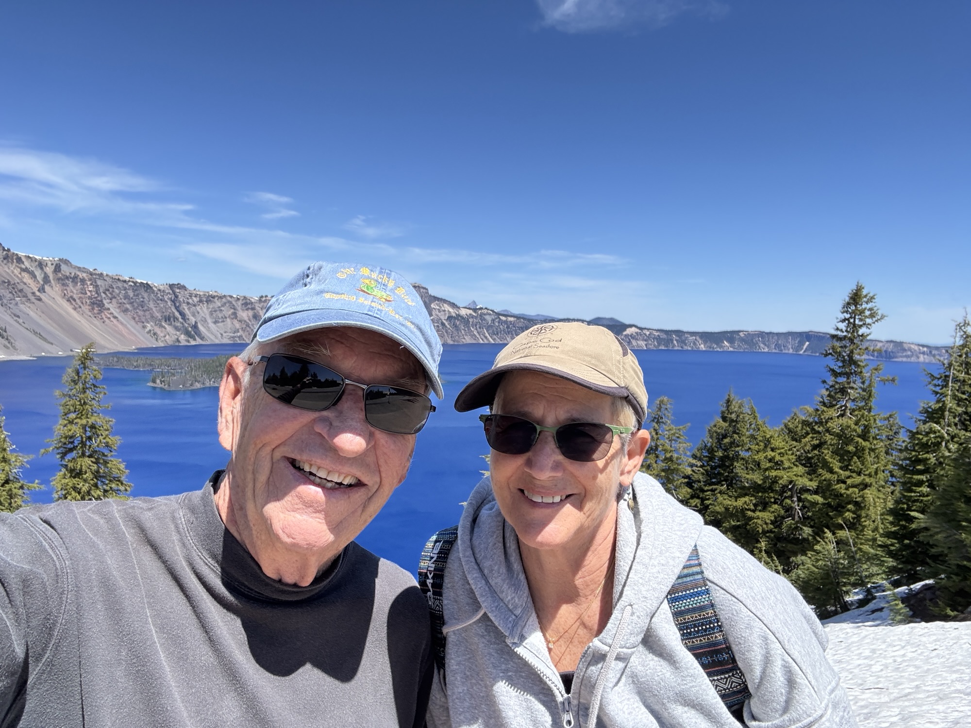
The photos tell the whole story. The day was perfect with clear skies, and the color of the water was a perfect blue. We hiked a bit of the rim trail for different views and left with a very good feeling about the visit.
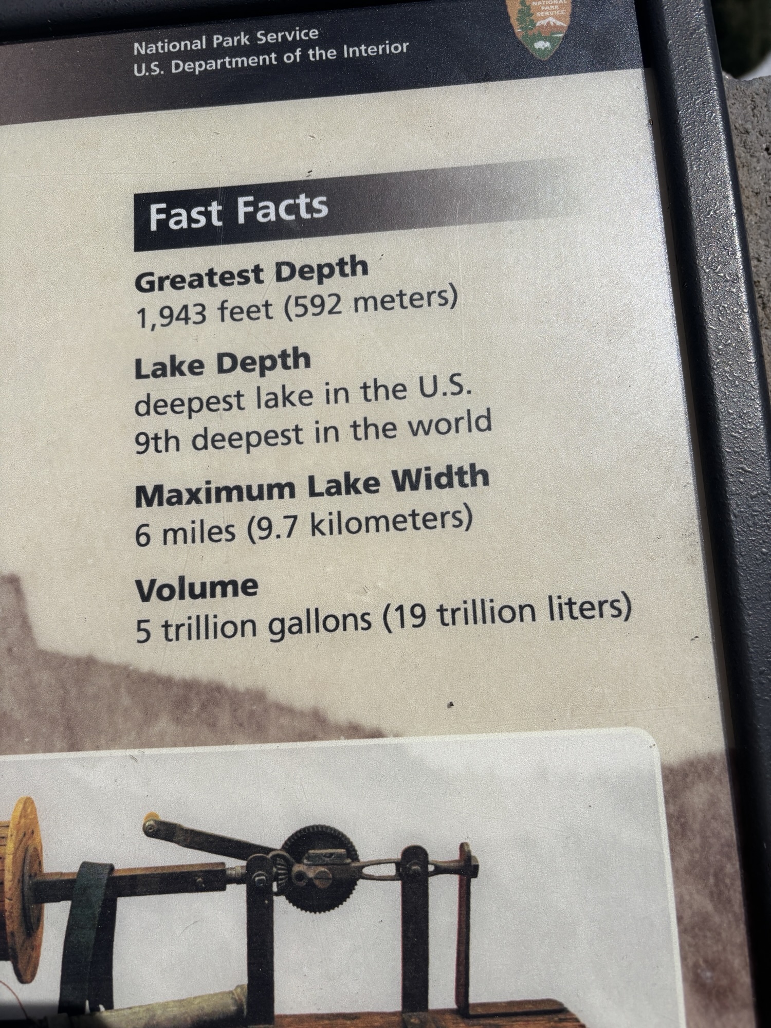
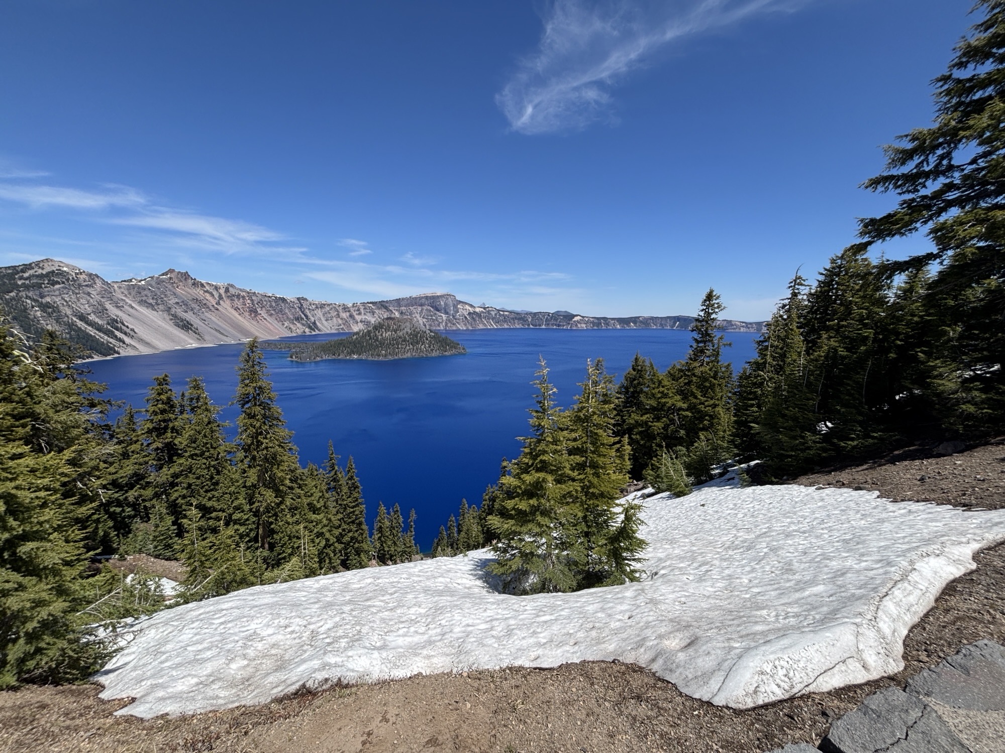
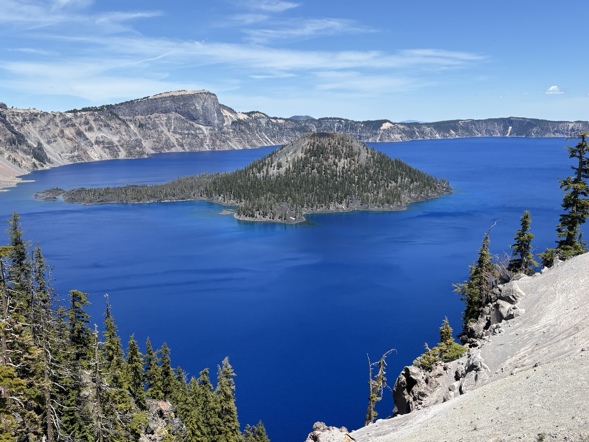
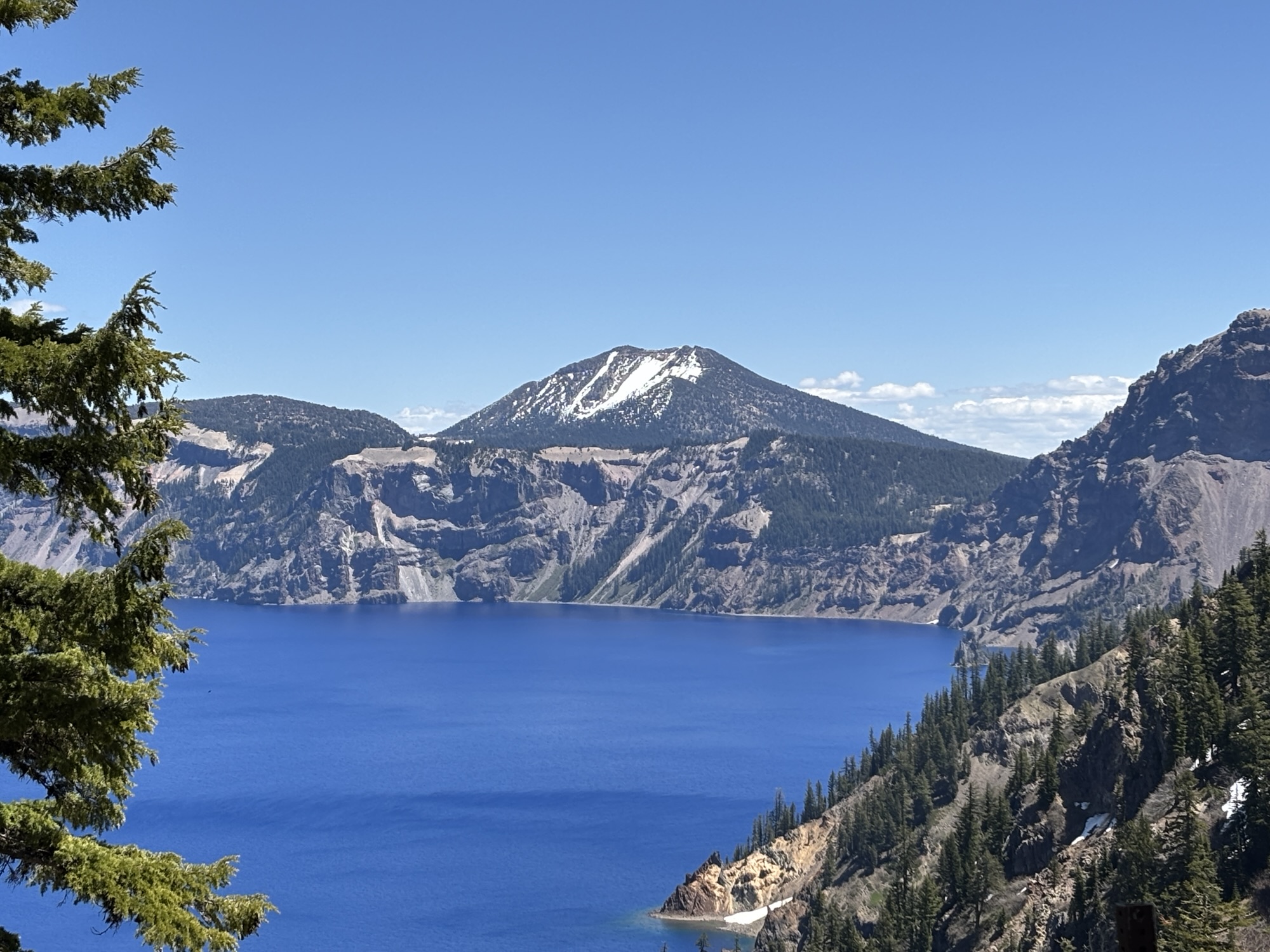
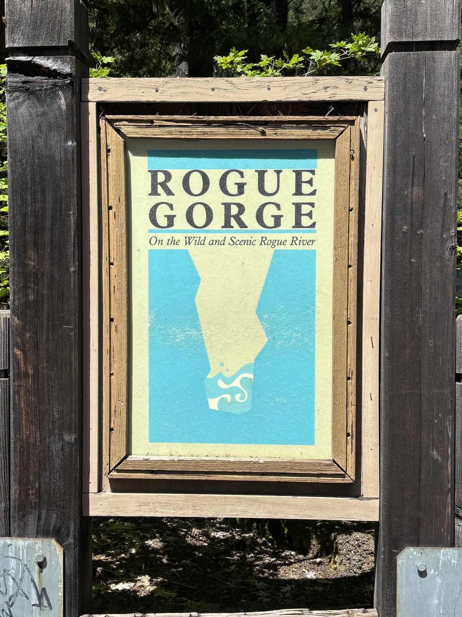
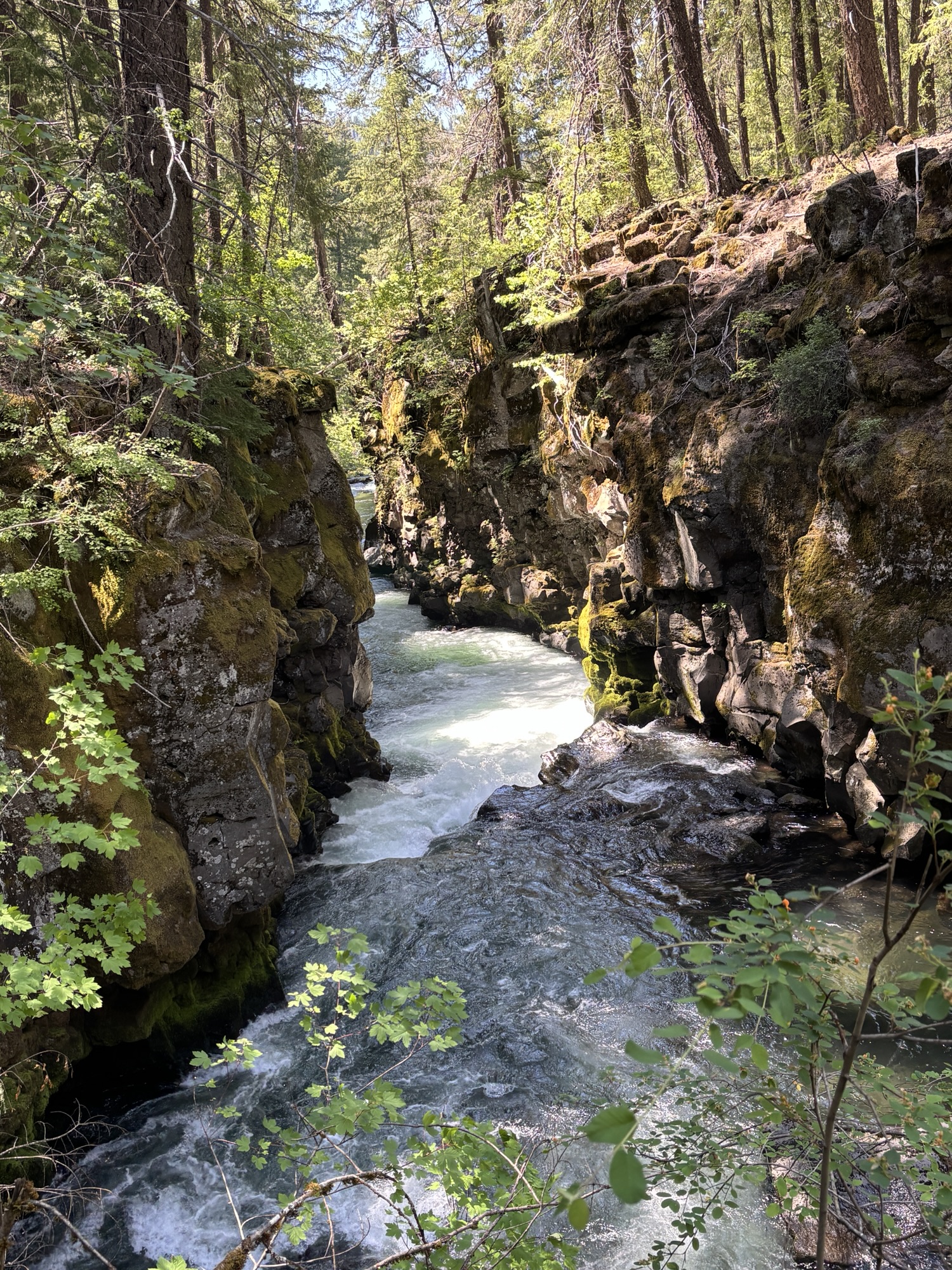
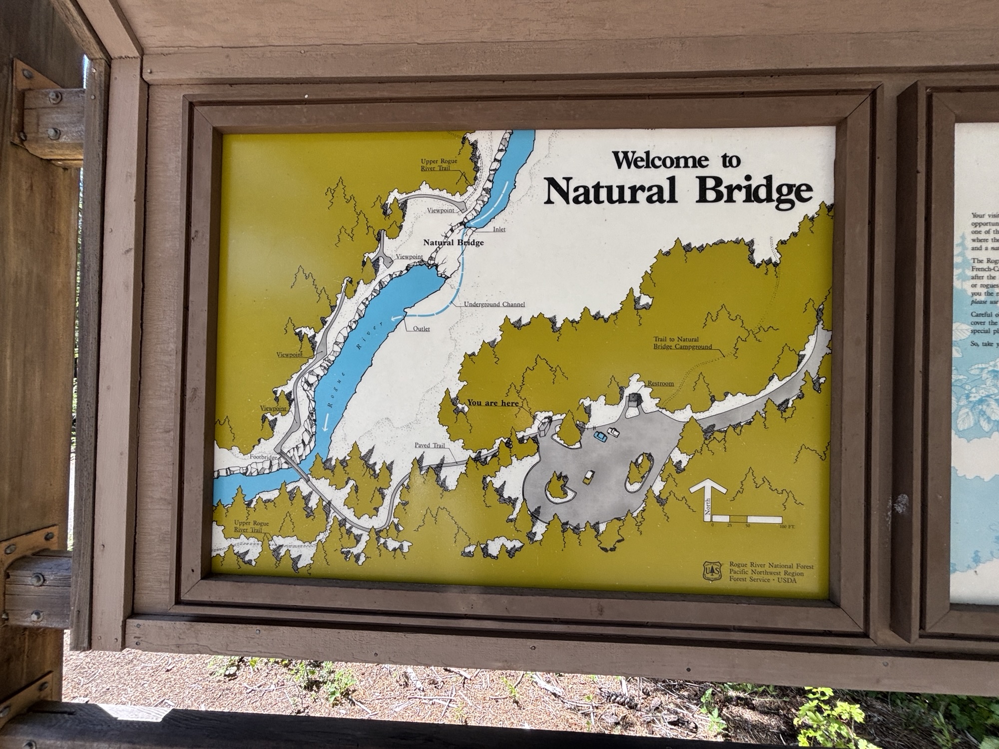
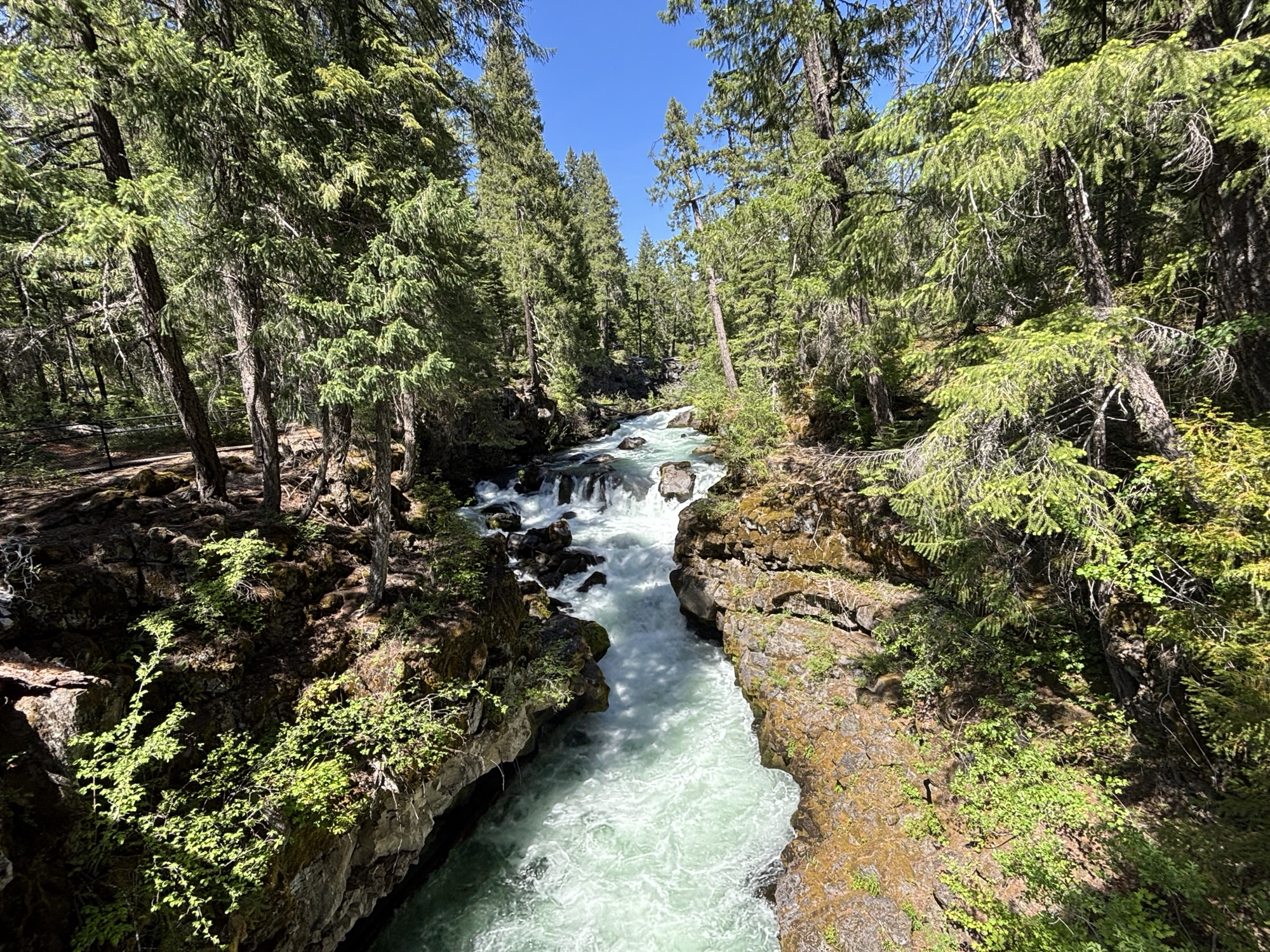
On the drive back to Prospect, we stopped at the Rogue Gorge Viewpoint and at the Natural Bridge. The Rogue River cuts through this area and because of the past volcanic activity there are different cracks and fissures for it to maneuver. The Gorge was actually a large lava tube that collapsed and formed a narrow course for the river to flow through, hence a gorge. The Natural Bridge is an intact lava tube where the river disappears in one end of the tube and comes out the other, and for years had made a convenient way for people to cross over the river. Both are very interesting and educational stops.
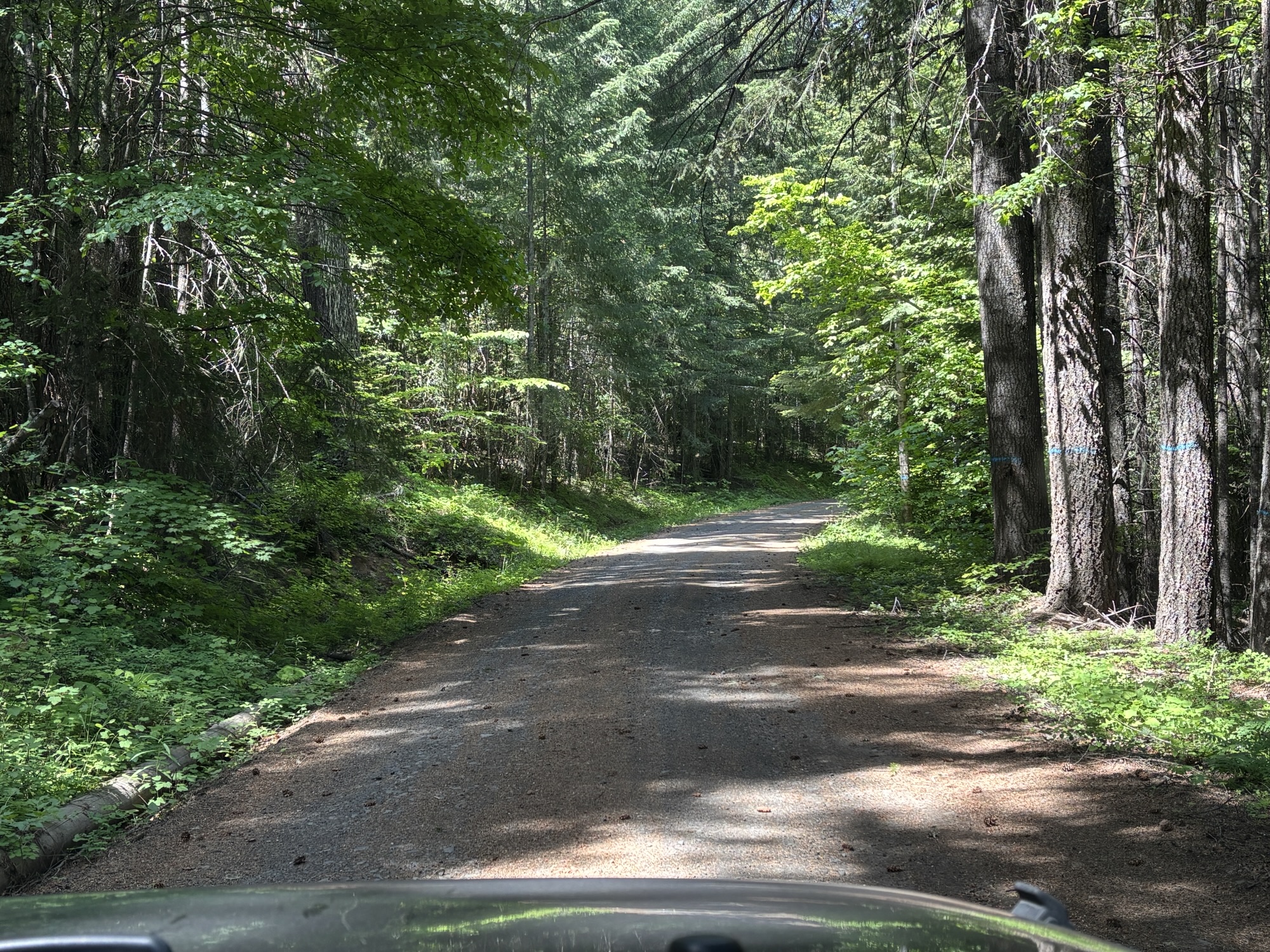
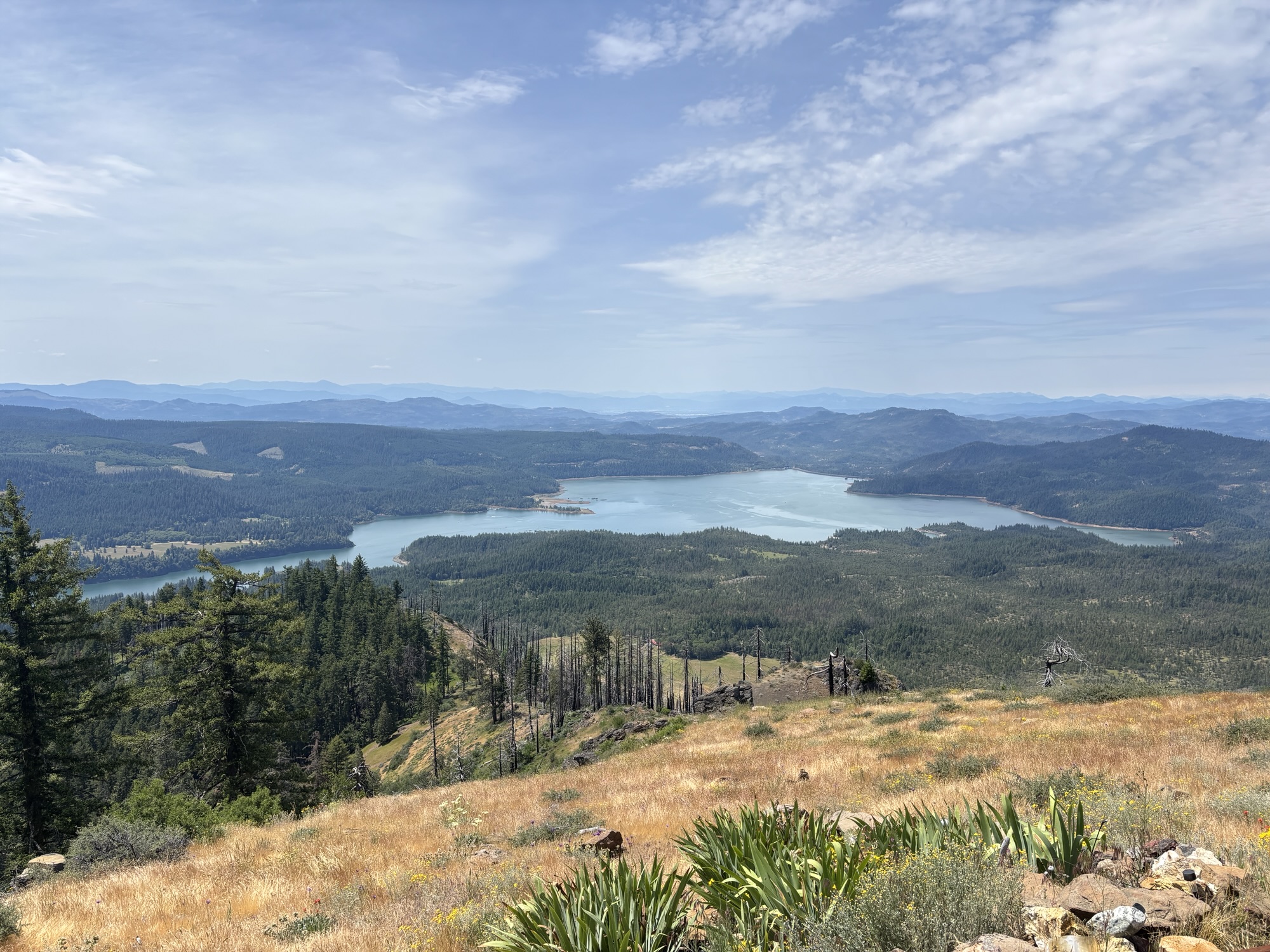
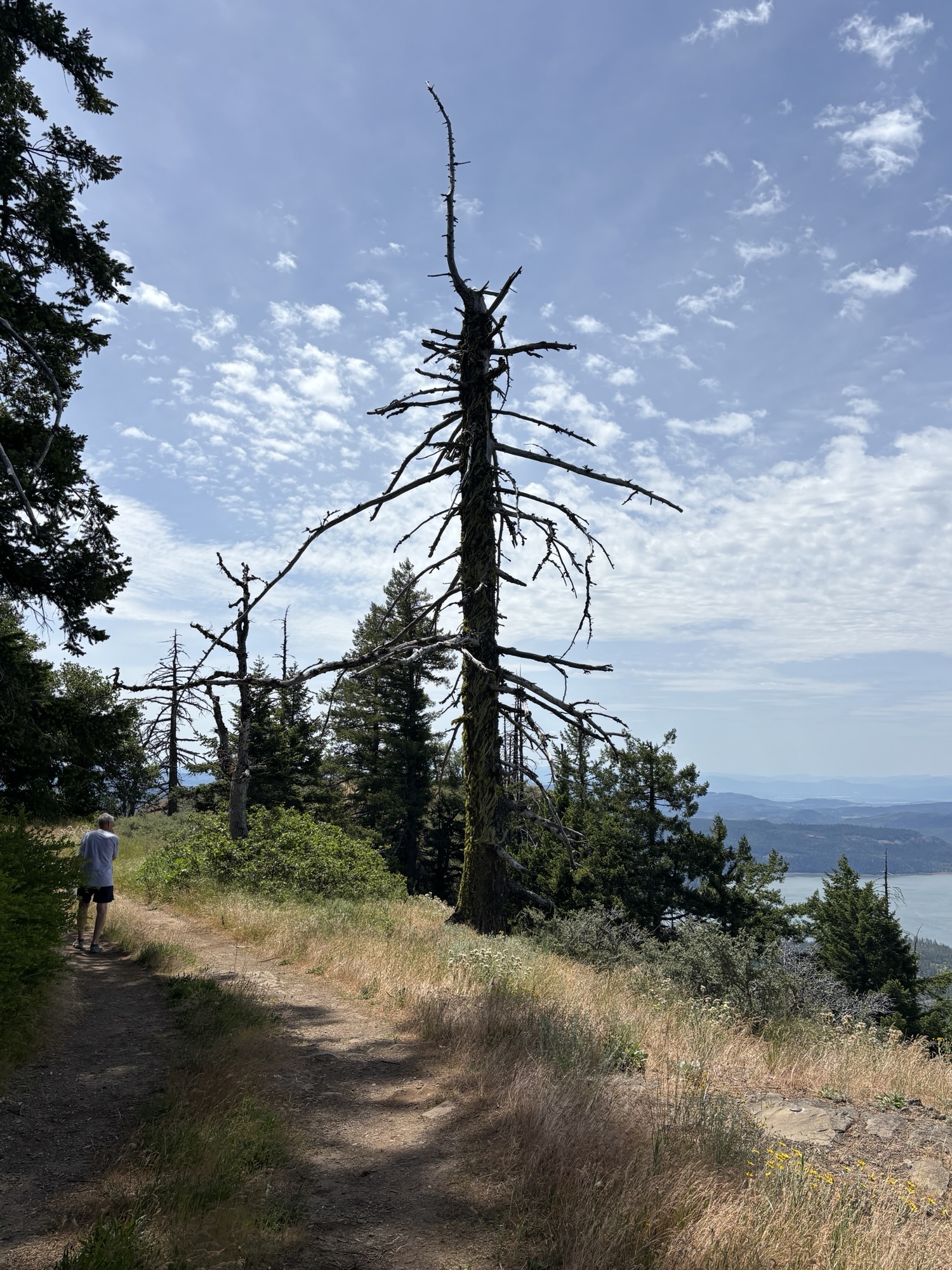
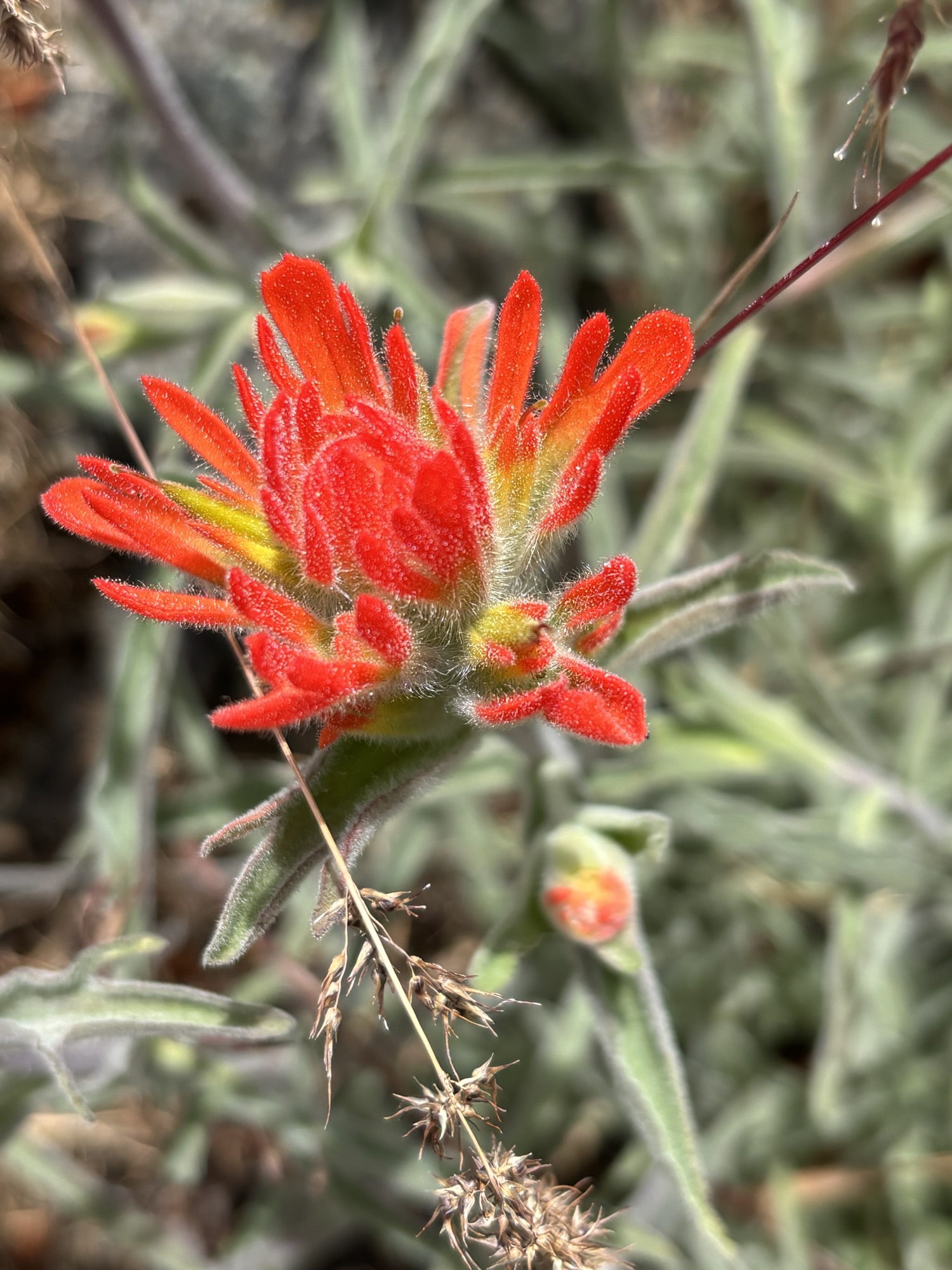
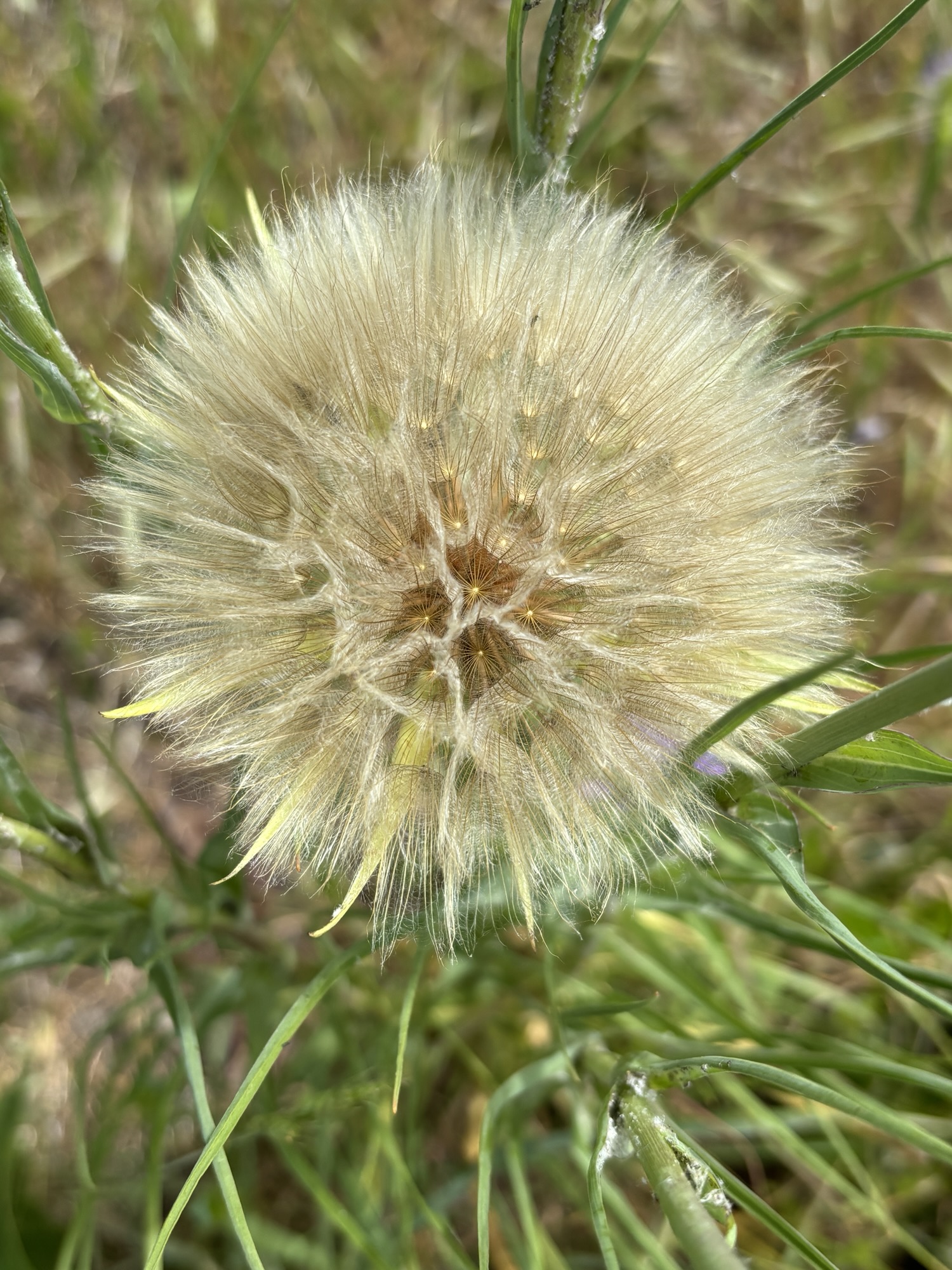
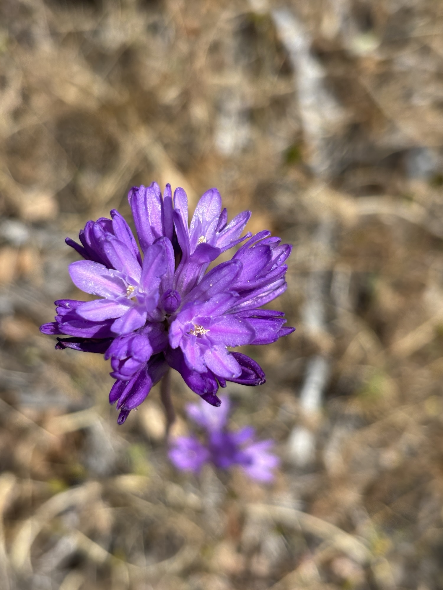
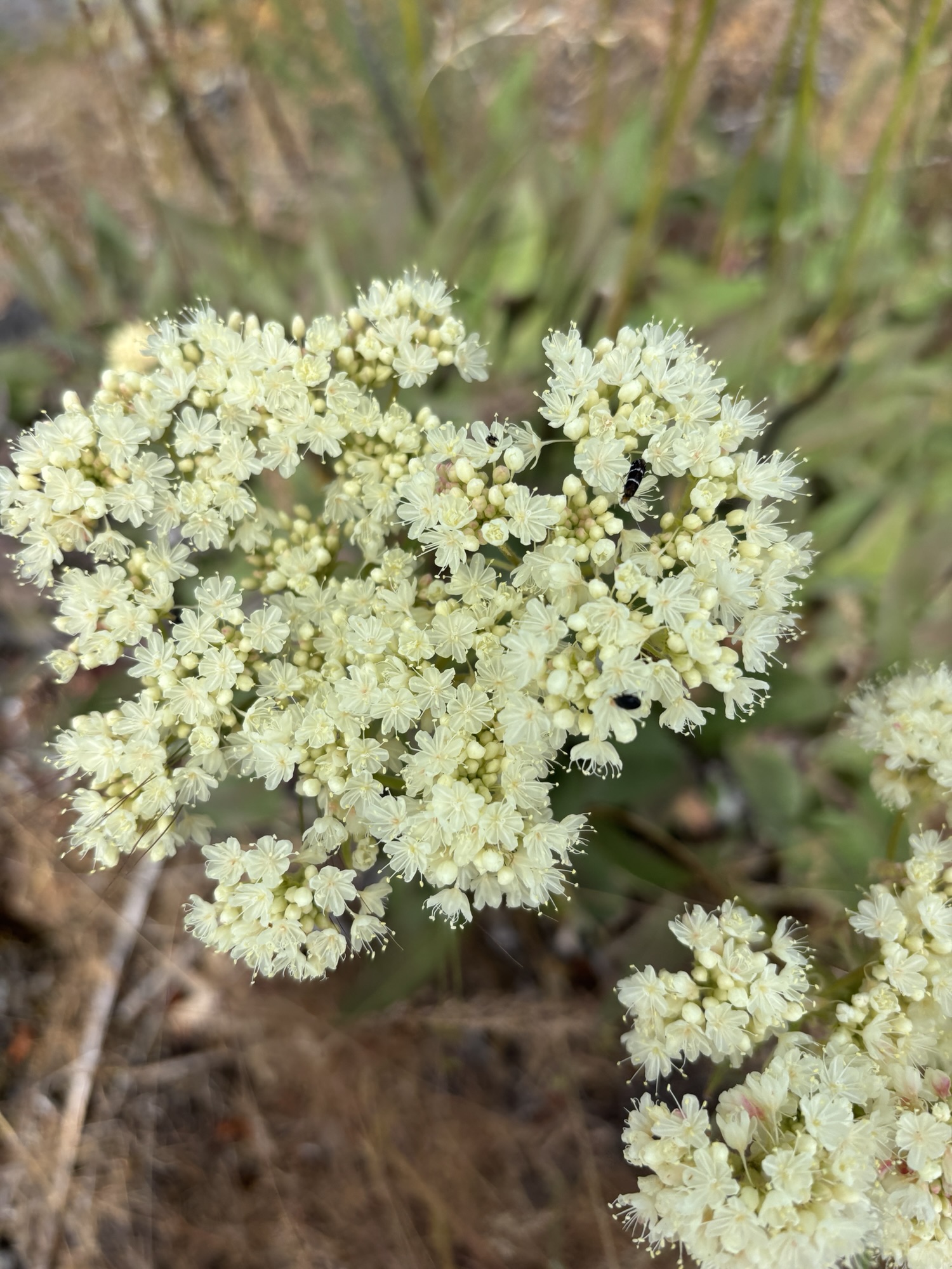
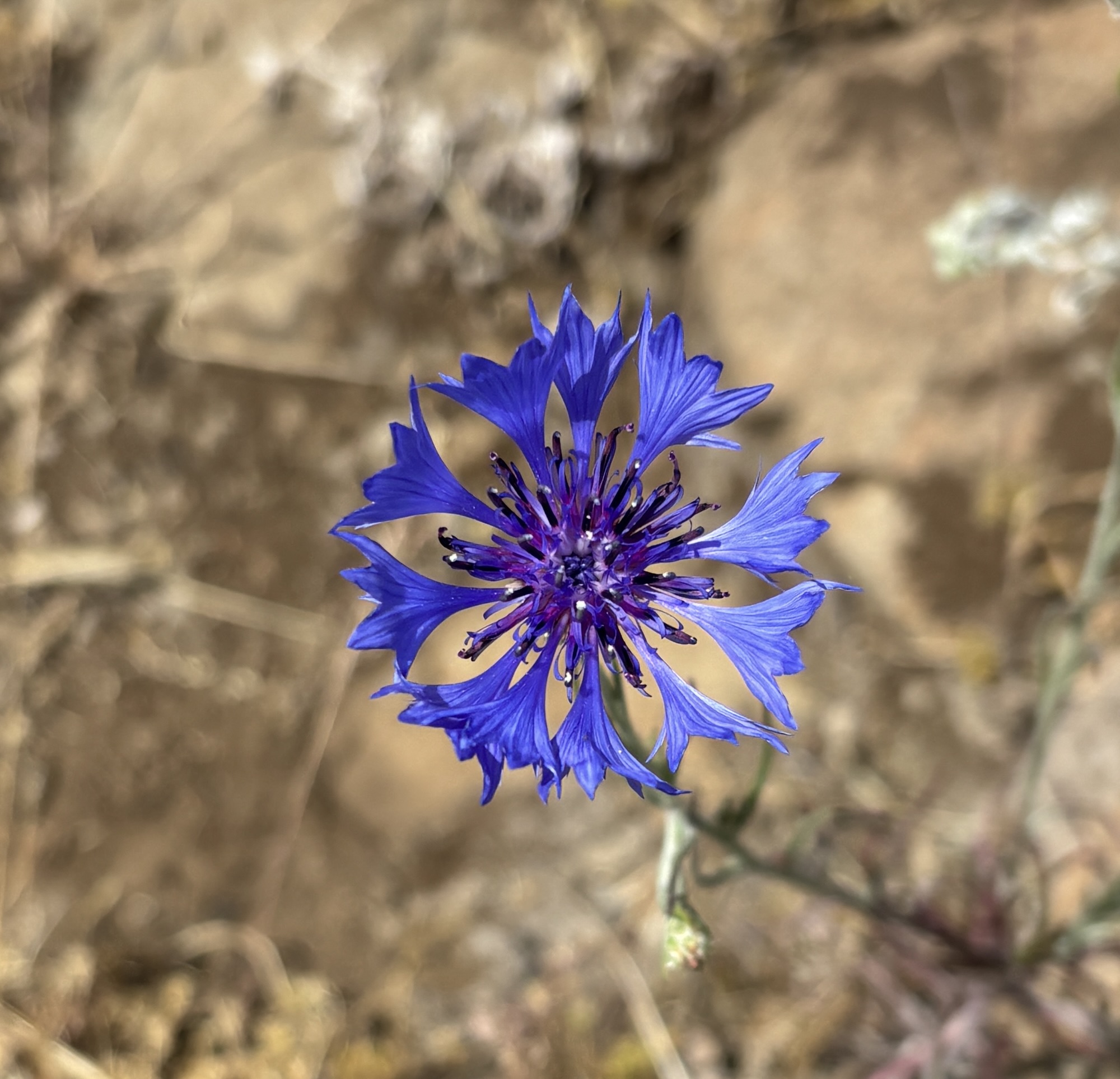
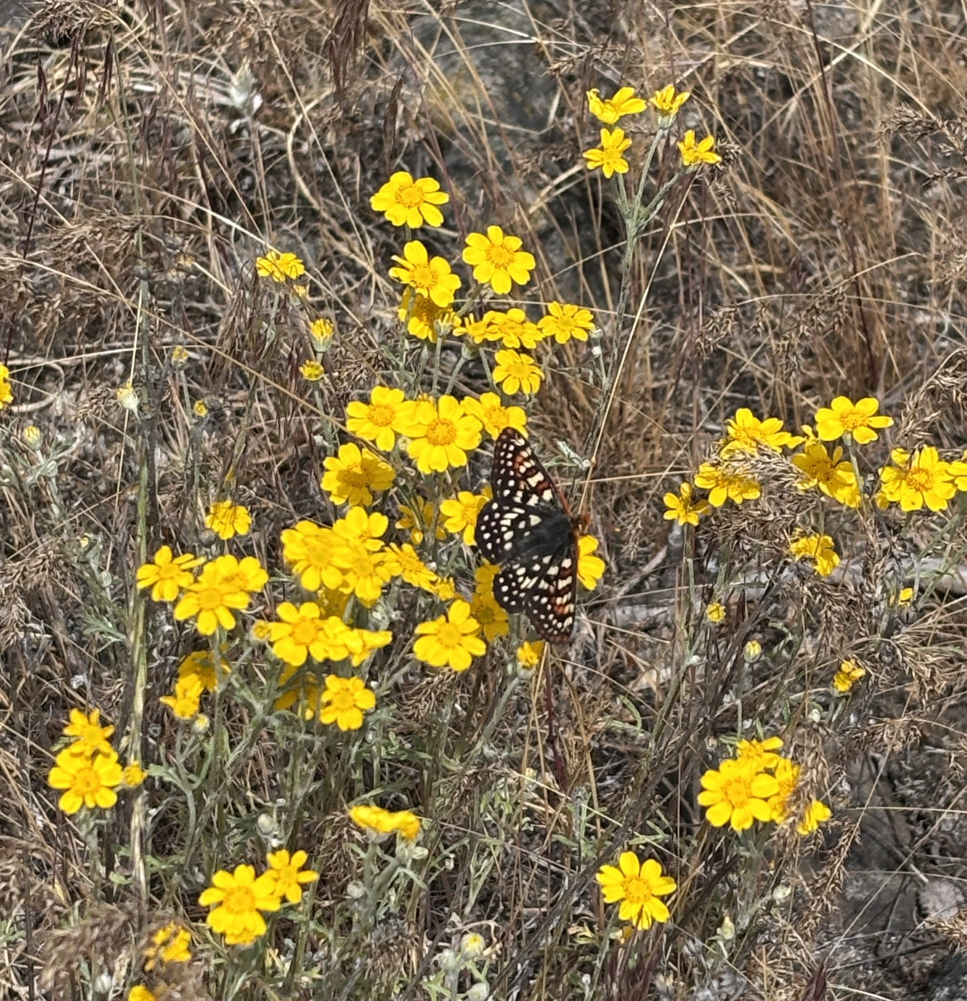
Back in Prospect the next day we went to a recommended lookout and several falls! The lookout, called Flounce Rock Viewpoint, was close but down a dirt road for about 6 miles, then just when you thought it ended, there was another rougher road up to the cell tower level. I put the Jeep in 4-wheel drive and headed up. Didn’t really need to, but it’s fun, nevertheless. Then we hiked up to the overlook. The view was across the valley to the Pacific Coast range and down to Lost Creek Lake. Well worth the effort! Gail was happy with the many new wildflowers she discovered.
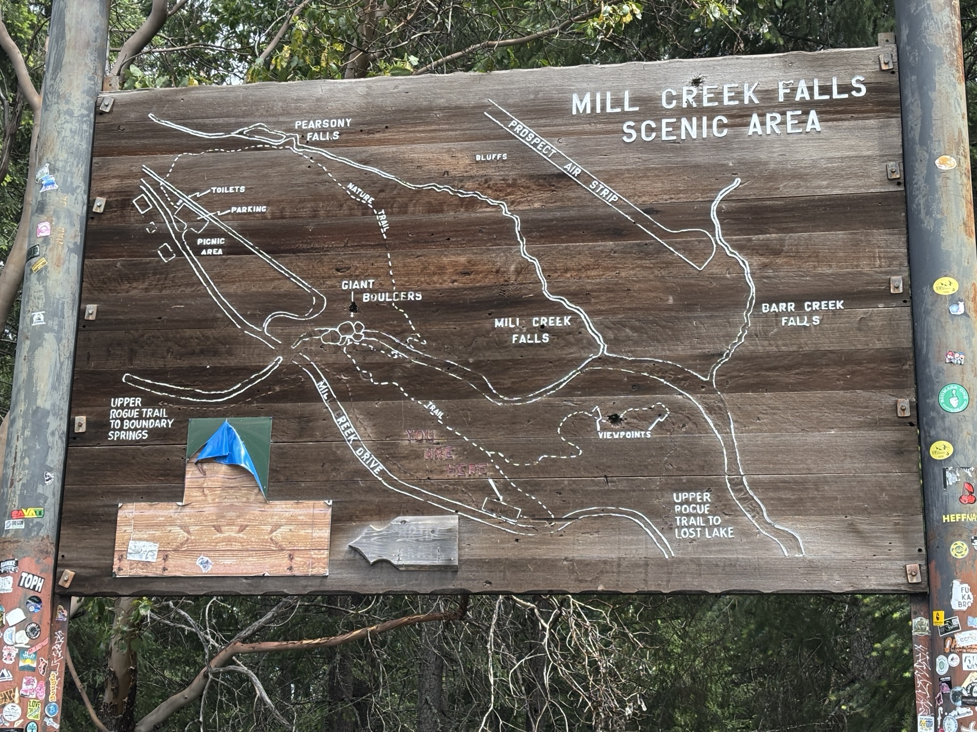
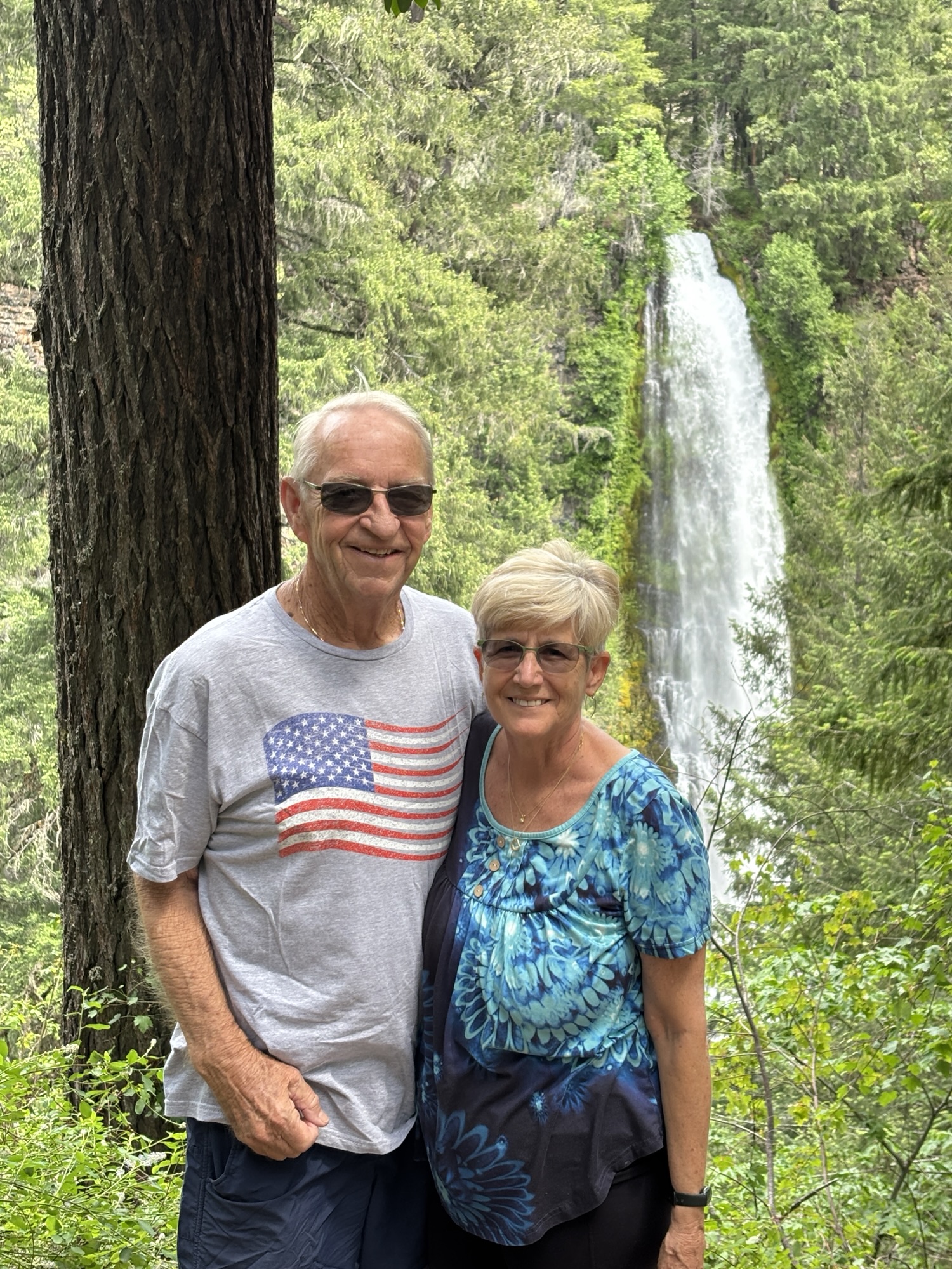
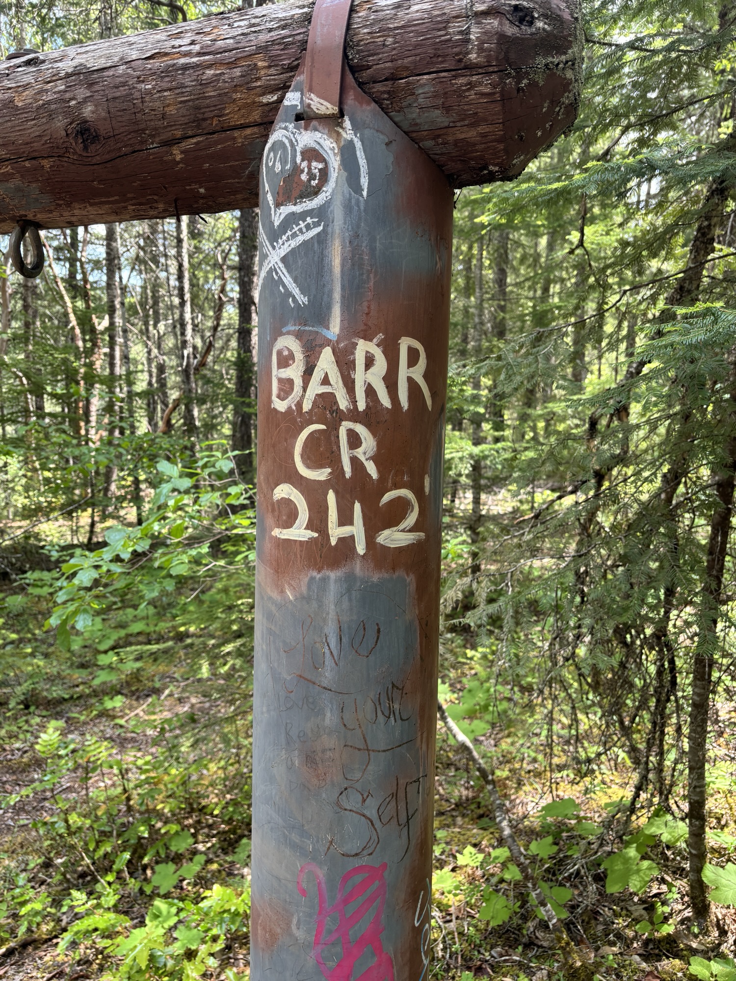
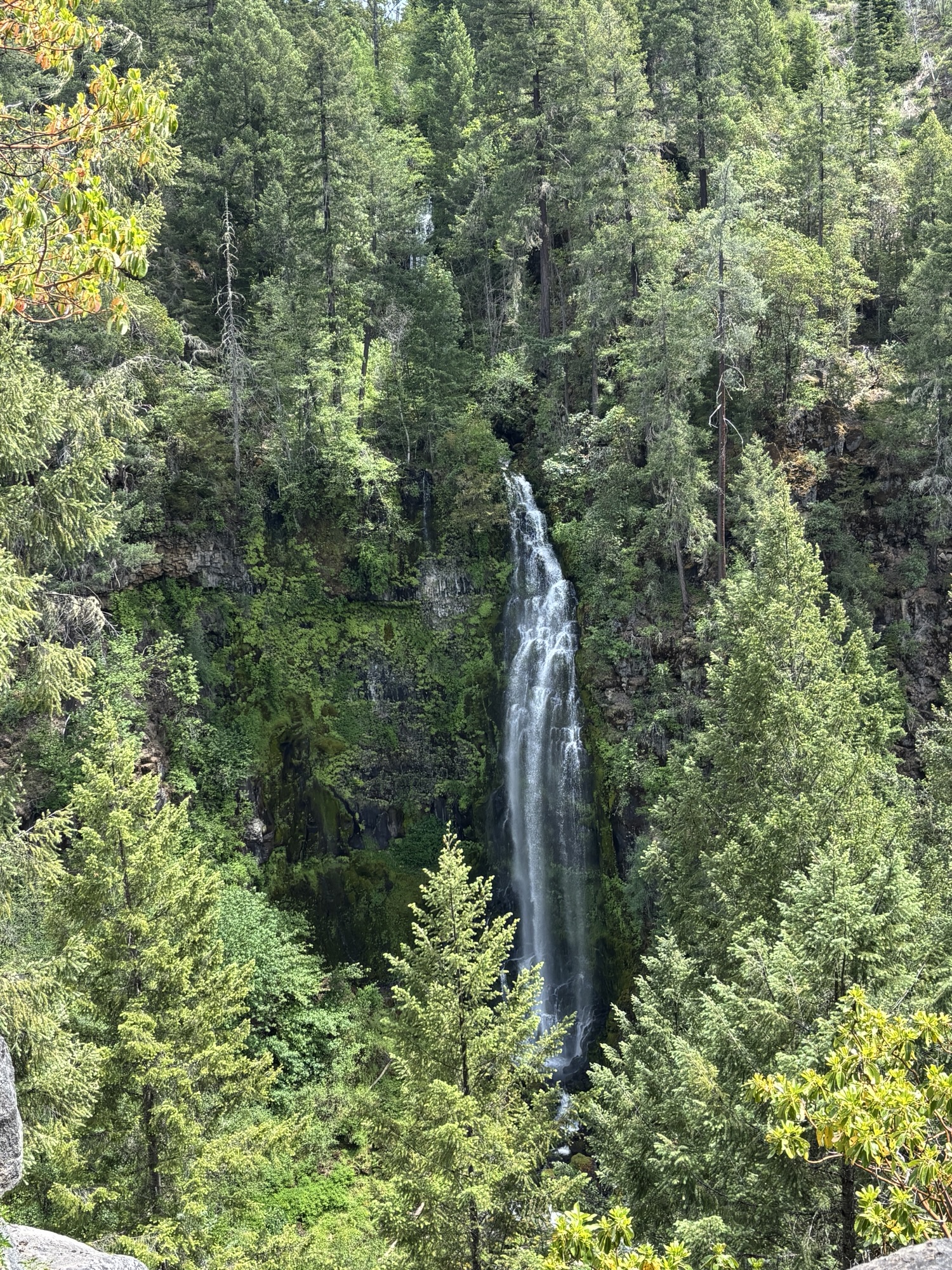
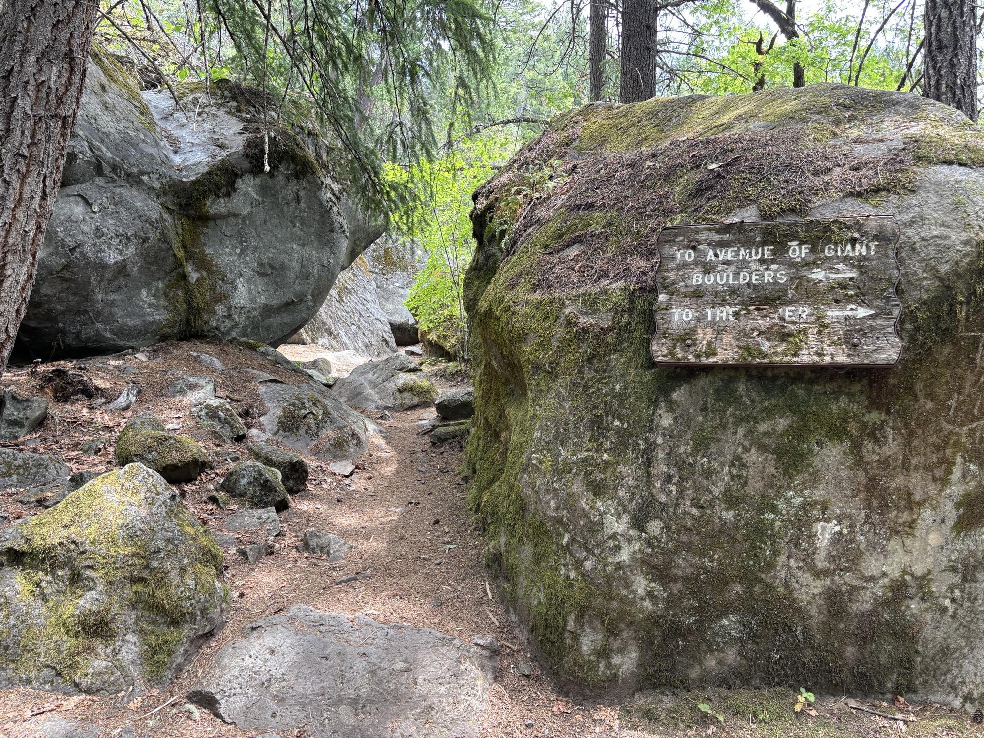
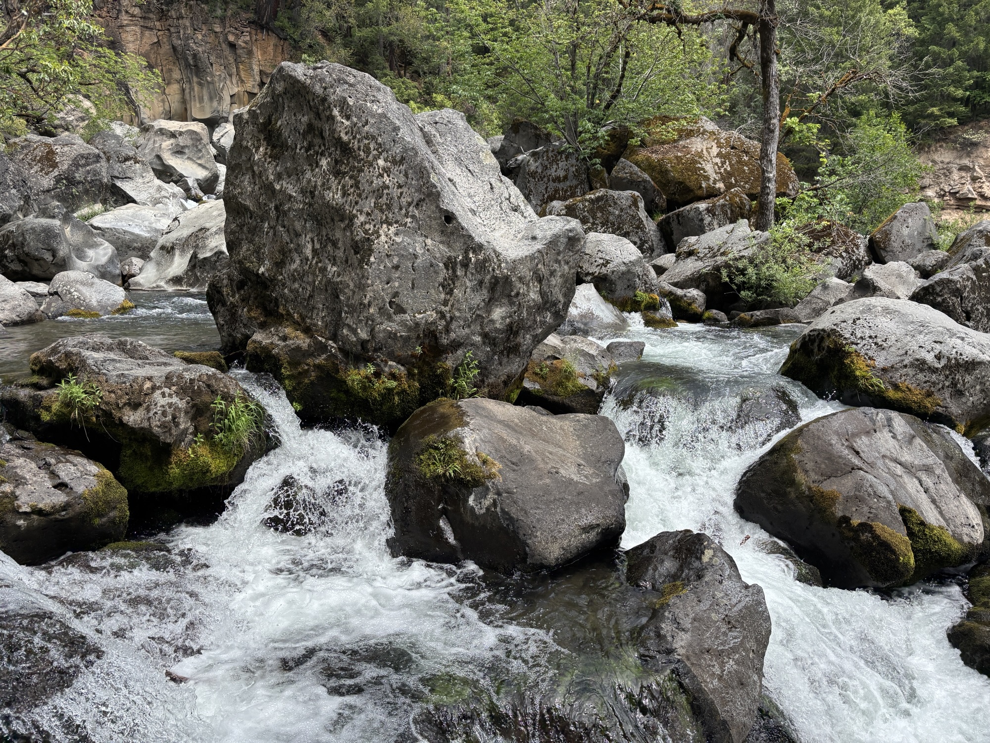
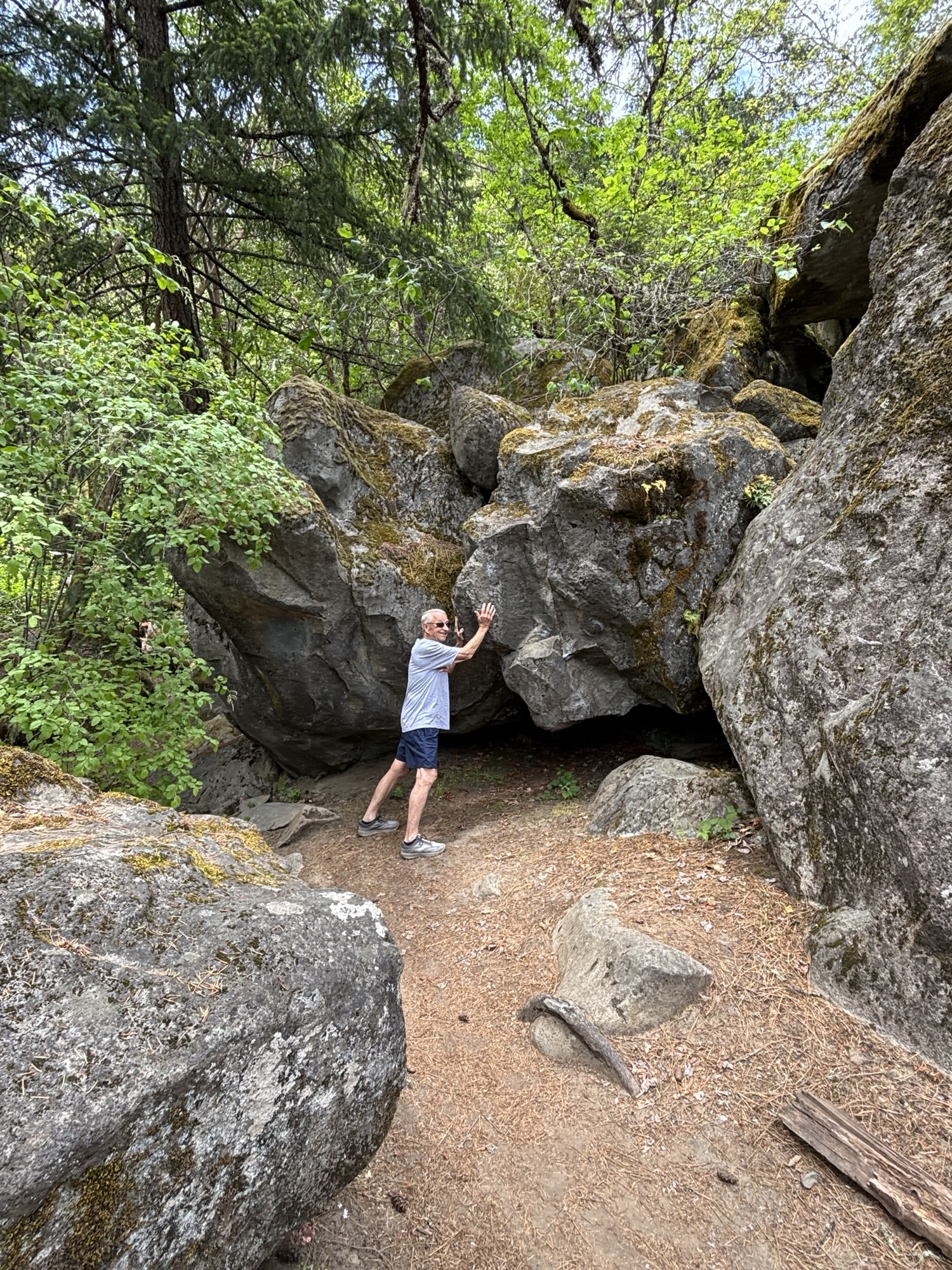
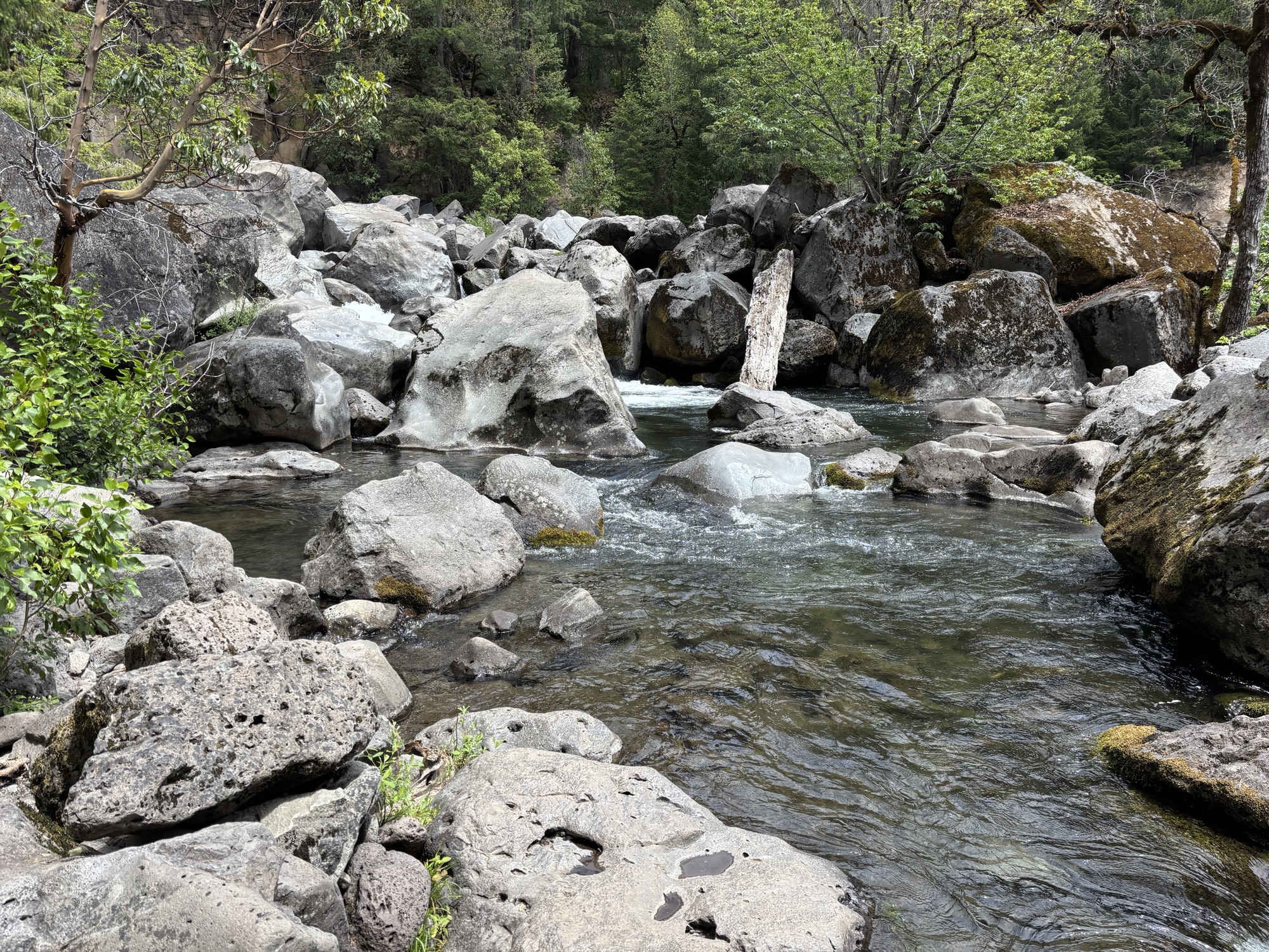
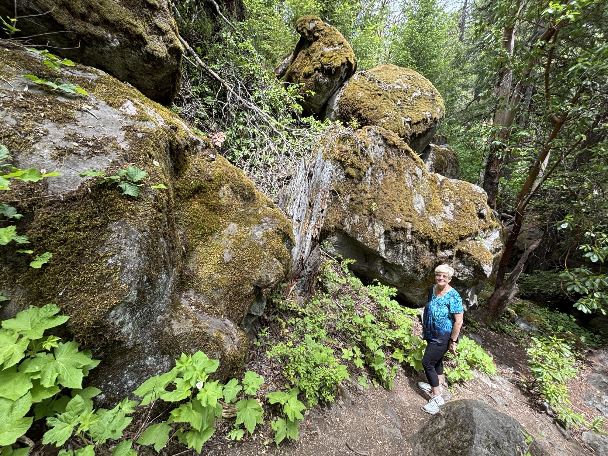
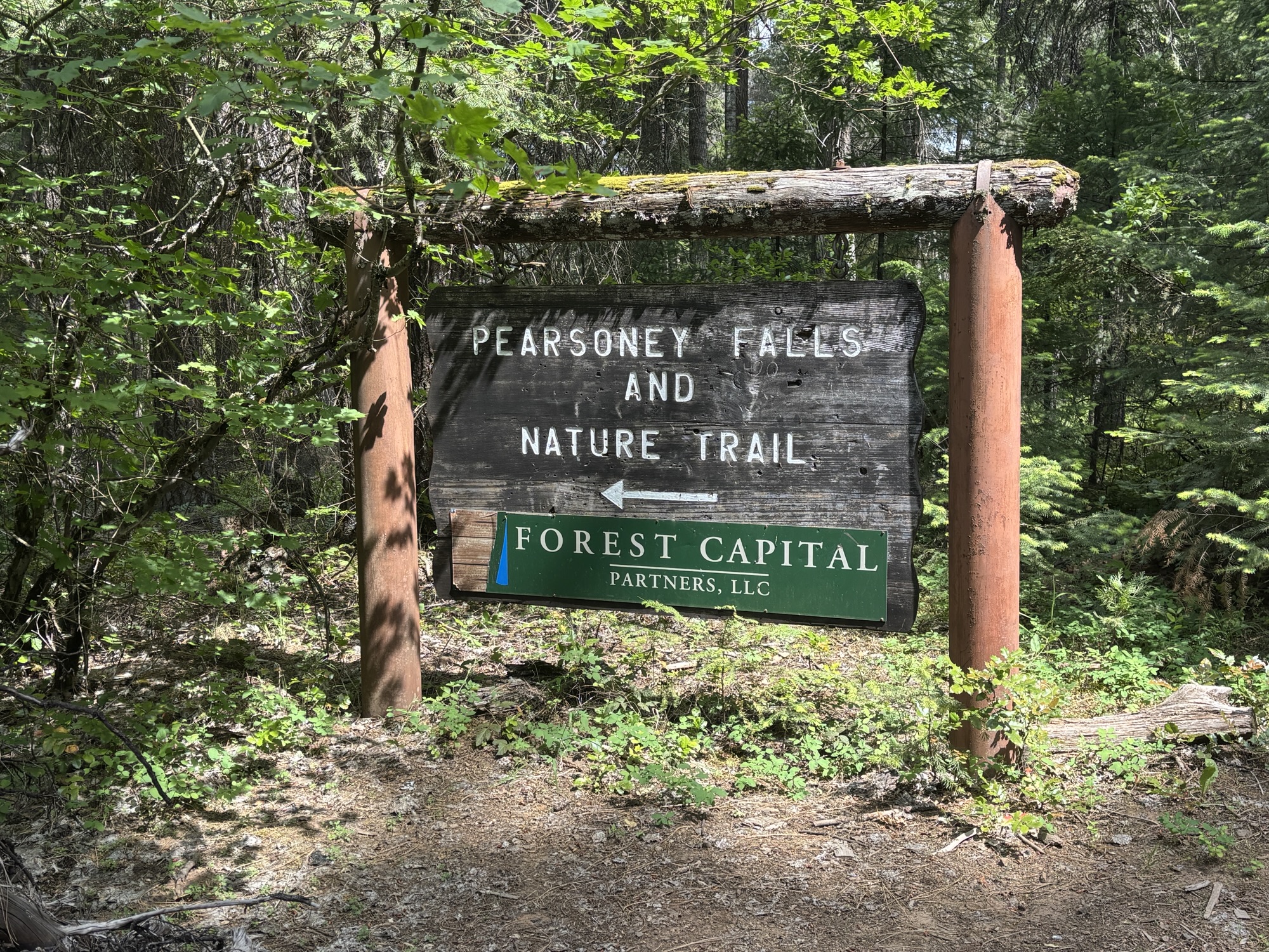
Then back to Prospect to find the waterfalls. First were Mill Creek and Barr Creek Falls which were both high, narrow falls from across the river. The second is called the Avenue of Giant Boulders and is what it sounds like. During the seismic action, the cliffs around the river released huge boulders that formed a new path for the river and a tough hike for the tourists! And finally to Pearsony Falls, which we liked the best of all. It was like a scene from The Hobbit with moss covered boulders and a wide, more peaceful flow.
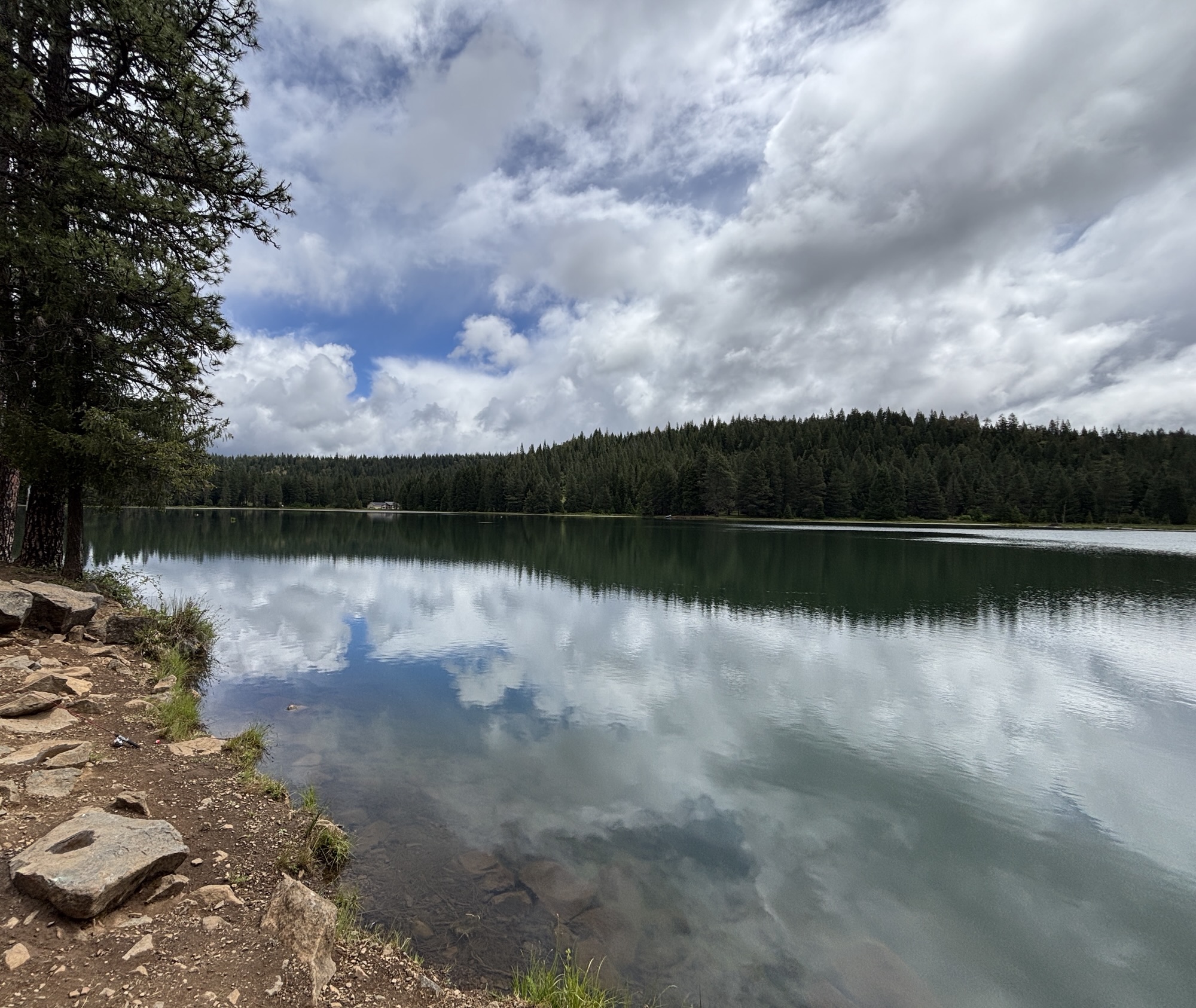
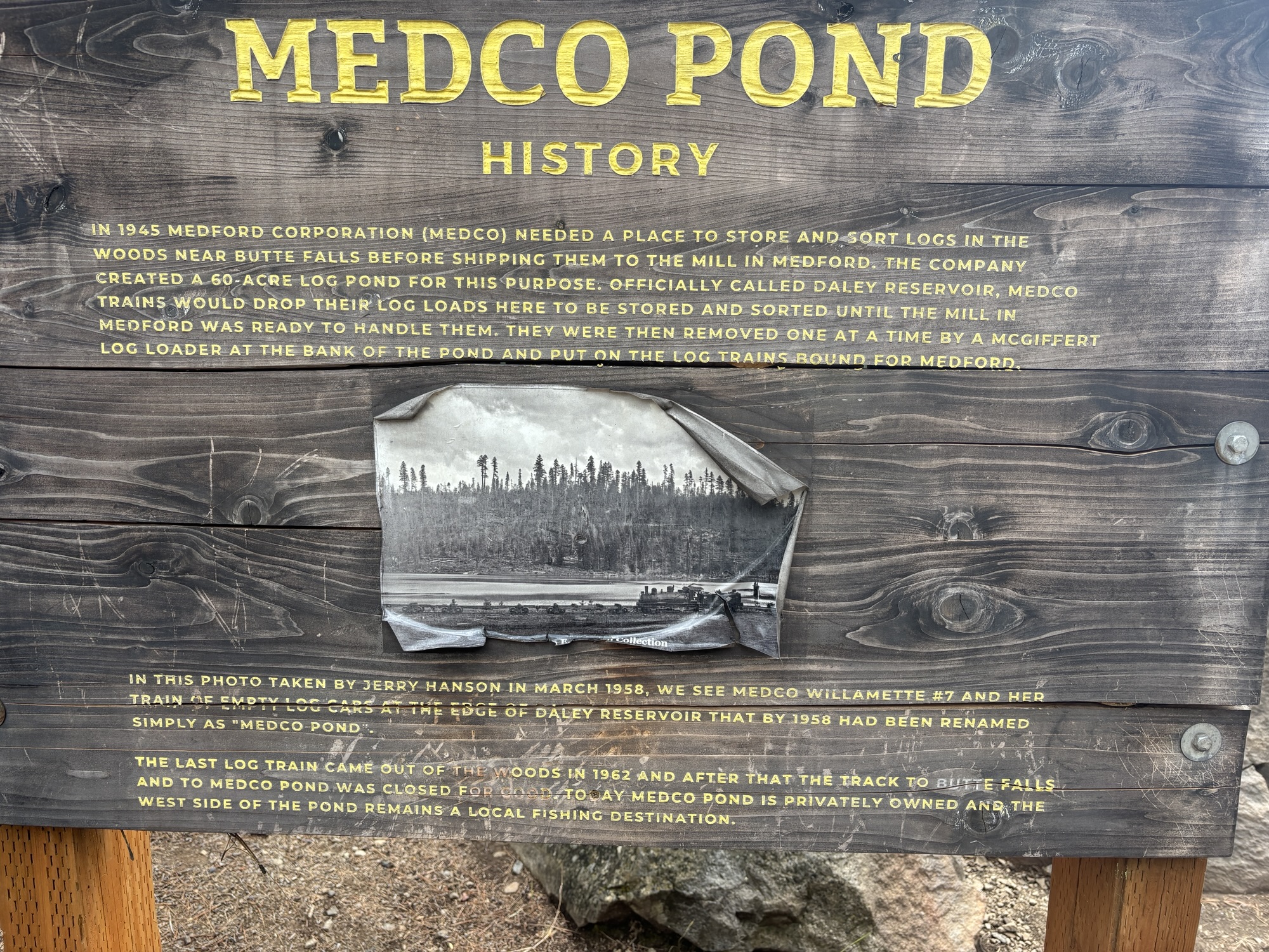
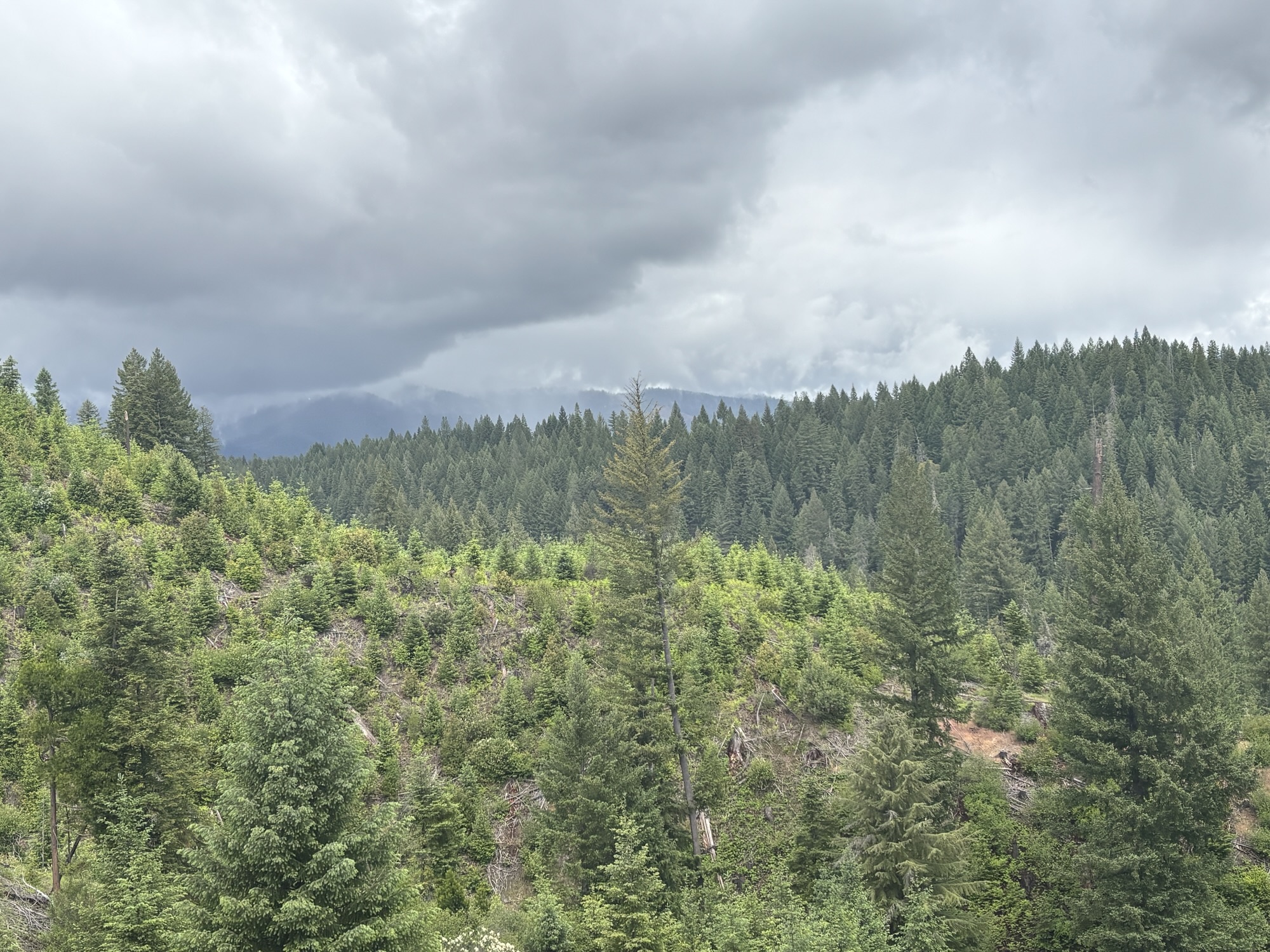
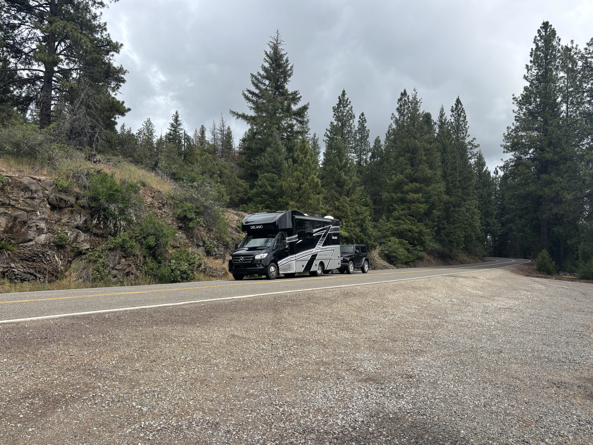
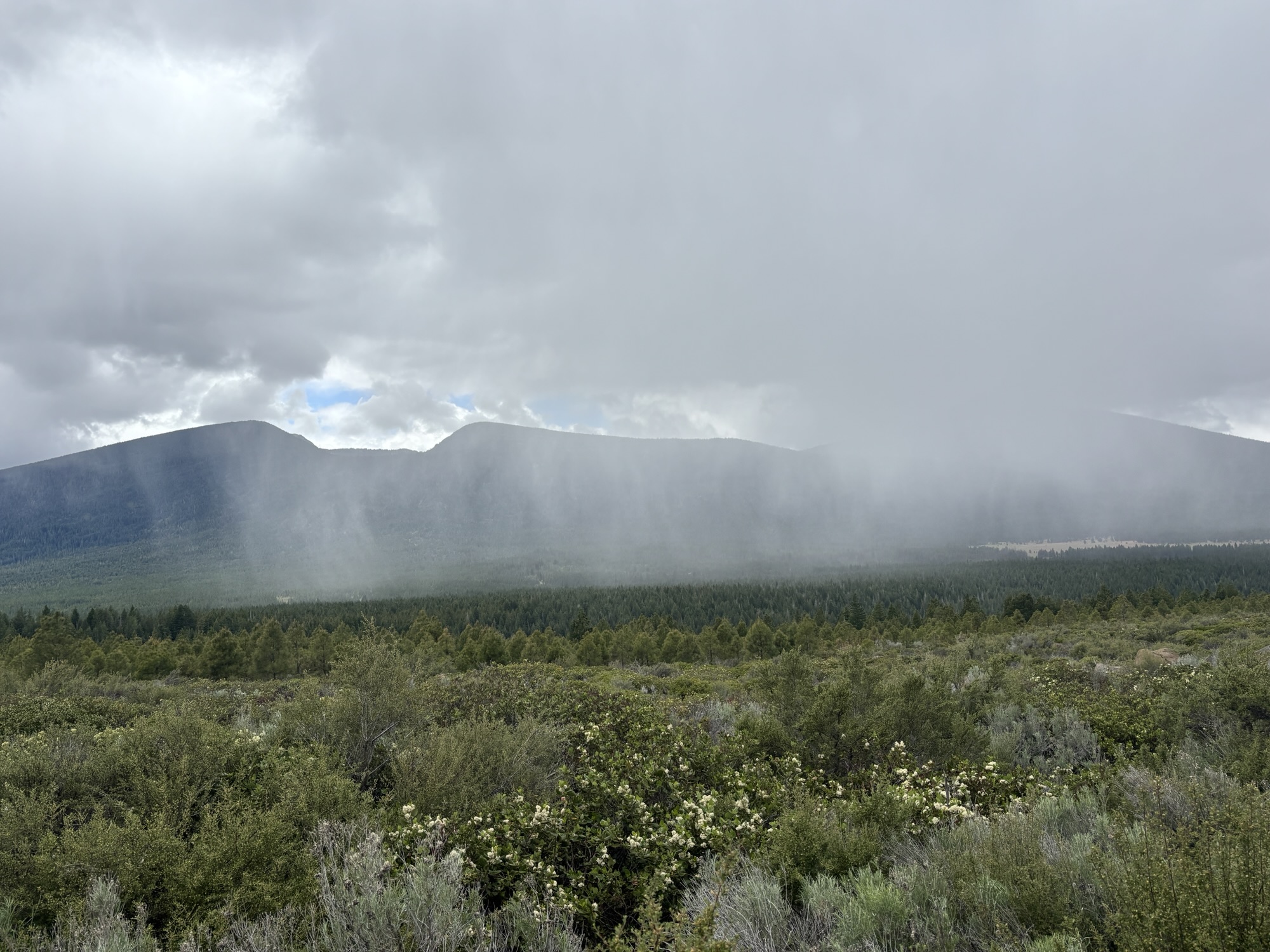
Our last stop in Oregon, at least for this leg, was to be Klamath Falls which is south of Prospect near the California border. We decided to take a quiet back road for the first part versus taking I-5. Speaking of quiet, we had no cars pass us and only 8 cars come toward us for over 40 miles. A very peaceful and scenic road. We stopped at a beautiful little lake along the route that had originally been set up to store and sort logs before shipping to the mill. The last logs were shipped in 1962 and now the lake is a fishing destination. Plus, we had some rain, small ice pellets and steam coming off the road even though the temperature outside was in the 40’s.
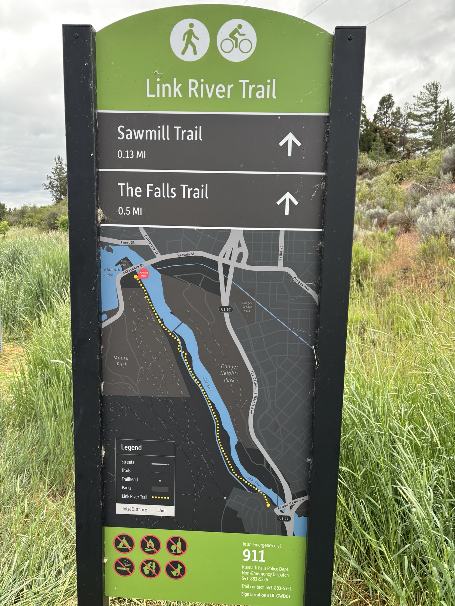
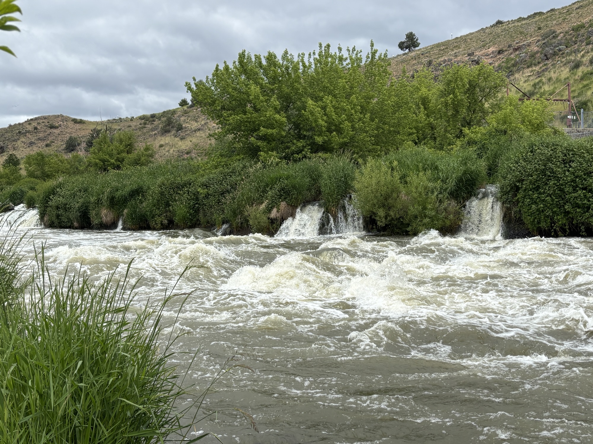
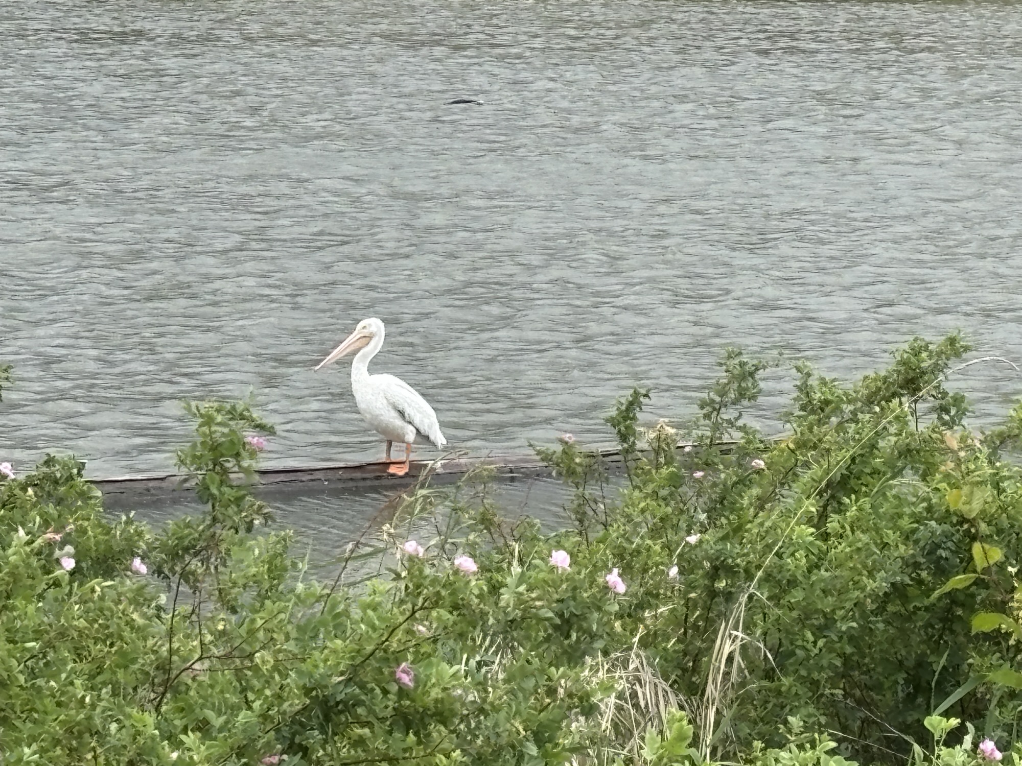
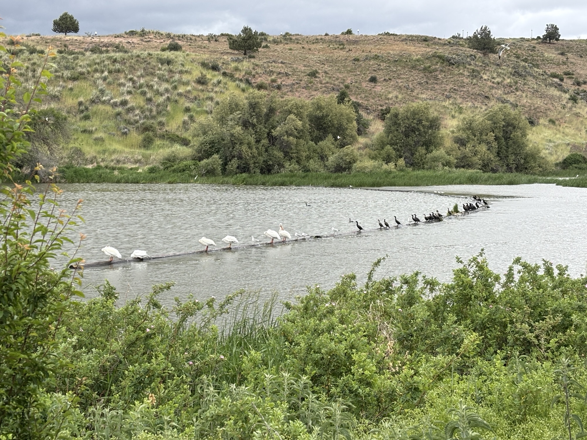
We had a KOA in Klamath Falls to relax and restock after the small parks over the last week. We found a new, big store called Fred Myers that had everything we needed, not just groceries! After looking around since we bought the RV, we even found a small griddle that fits the RV stove to make some pancakes and quesadillas among other things flat! Our time was limited but we did get out for a 3 mile walk to find Klamath Falls, which are not large falls any more due to the dams and control the Klamath River. The hike is called Links River because it narrows to “link” two lakes and has a small dam to control the flow. But there is a “falls”, and lots of birds and flowers to make the walk interesting!
After a quick tour of old downtown, we headed back to the park and had a quiet evening. Well, the weather decided not to be very quiet as a thunderstorm came through with high winds and lightning. Even the people in the park commented about the storm the next morning. Guess it’s not something they see very often. Not like Miami!!
Now we are off to California and the next part of the first leg. So, hang in there and we’ll post some more exciting things soon!!
 Grove Yacht